Biblioteca de design
Novos designs Merch
Camisetas
Vectores
Designs de Merch de Tendência
PNGs & SVGs
Mockups
Modelos de T-Shirt PSD
Explorar Desenhos
Designs KDP
Pôsteres
Canecas
Capas para celular
Sacos de compras
Almofadas
Ferramentas de desenho
Merch Designer
Novo!
Mockup Generator
Gerador de Design de AI
Vetorizador
Quote Generator
T-Shirt Maker (Antigo)
Ajuda
Merch Digest
Blog
Centro de Ajuda
Saiba mais sobre o Merch
Feedback
Soluções Corporativas
Empresa
Acesso à API
Estúdio de Design
Design em Lote
Preços
Carregando...
Inscrever-se
Conecte-se
All
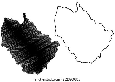
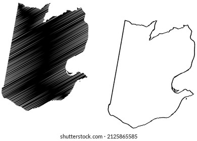
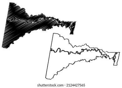
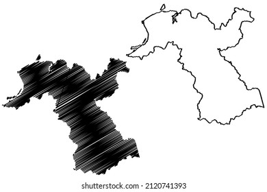
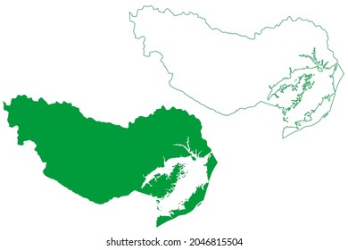
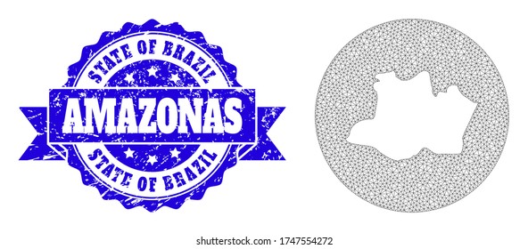
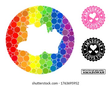
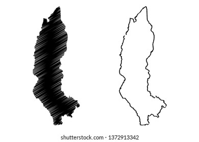
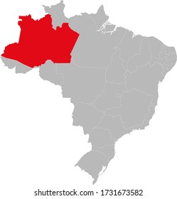
amazonas
Biblioteca de design
Novos designs Merch
Camisetas
Vectores
Designs de Merch de Tendência
PNGs & SVGs
Mockups
Modelos de T-Shirt PSD
Explorar Desenhos
Designs KDP
Pôsteres
Canecas
Capas para celular
Sacos de compras
Almofadas
Ferramentas de desenho
Merch Designer
Novo!
Mockup Generator
Gerador de Design de AI
Vetorizador
Quote Generator
T-Shirt Maker (Antigo)
Ajuda
Merch Digest
Blog
Centro de Ajuda
Saiba mais sobre o Merch
Feedback
Soluções Corporativas
Empresa
Acesso à API
Estúdio de Design
Design em Lote
PLANOS
All
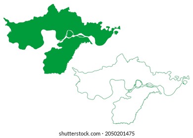
amazonas
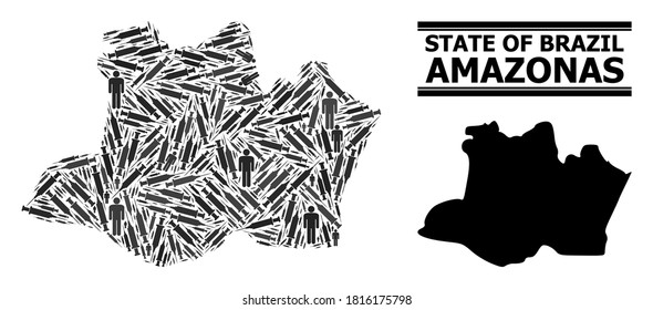
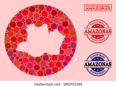
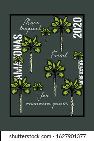
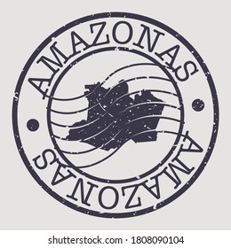
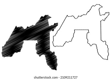
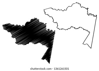
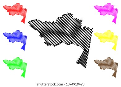
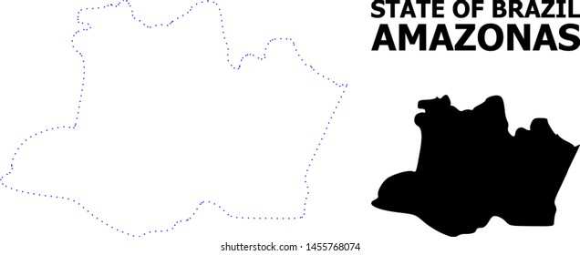
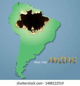
1164 Gráficos e Designs de amazonas para Camisetas e Merch print on demand
Baixar designs de camisetas e para merch, como capas de livro, capas de celular, tote bags e mais de amazonas
Relacionado:
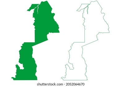
penas amazonas
Ordenar por
Mais relevante
Resultados patrocinados da
Ganhe 15% de desconto com o código: VEXELS15
veja mais detalhes
Pronto para imprimir
para Merch
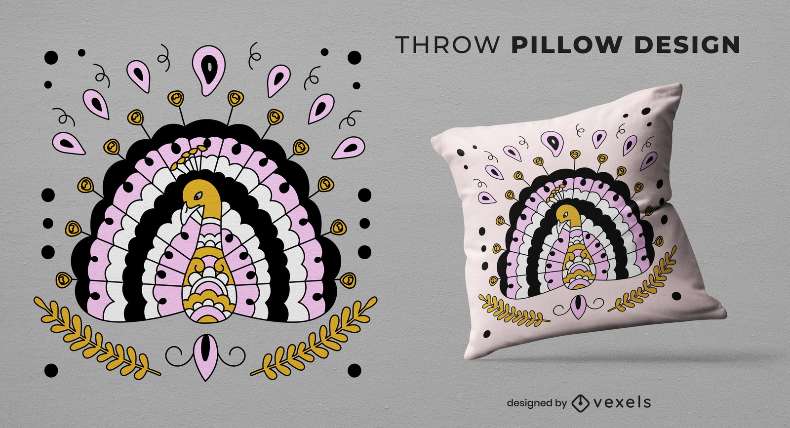
Desenho de almofada de animal pavão
Escolha uma pasta
Todos os favoritos
Criar novo
Salvar
Desenho de almofada de animal pavão
Pronto para imprimir
para Merch
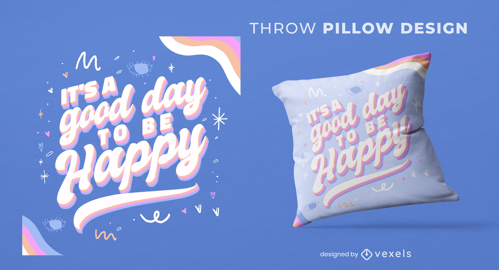
Citação de feliz dia design de almofada
Escolha uma pasta
Todos os favoritos
Criar novo
Salvar
Citação de feliz dia design de almofada
Pronto para imprimir
para Merch
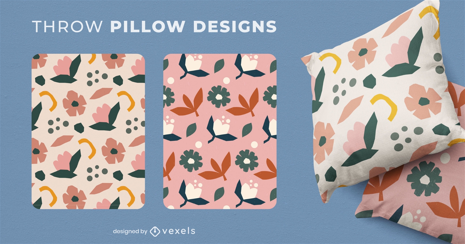
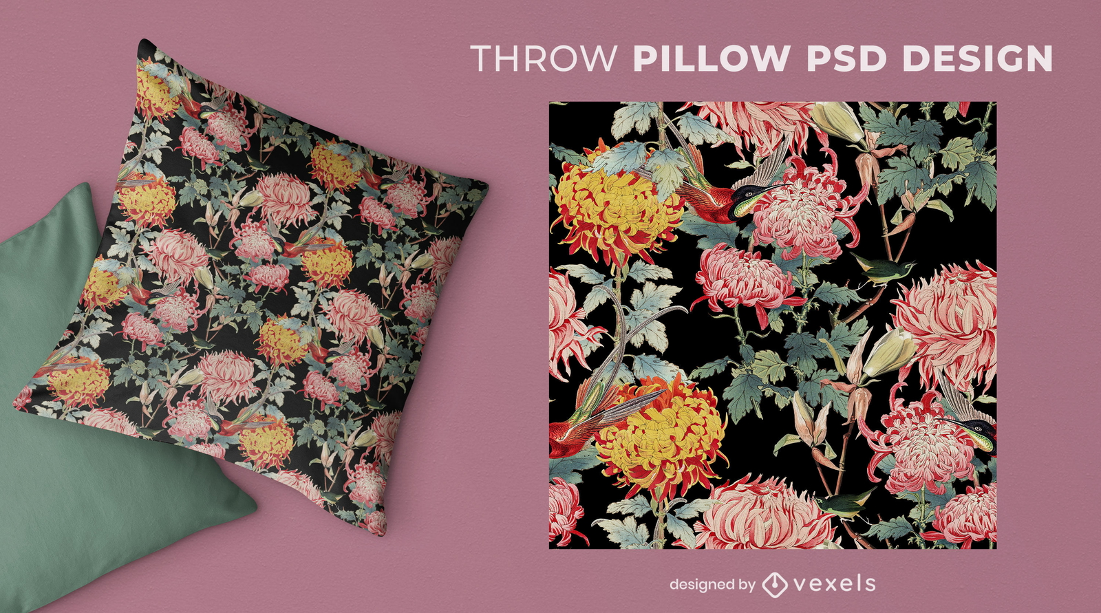
Conjunto de almofadas com flores da natureza
Escolha uma pasta
Todos os favoritos
Criar novo
Salvar
Conjunto de almofadas com flores da natureza
Pronto para imprimir
para Merch
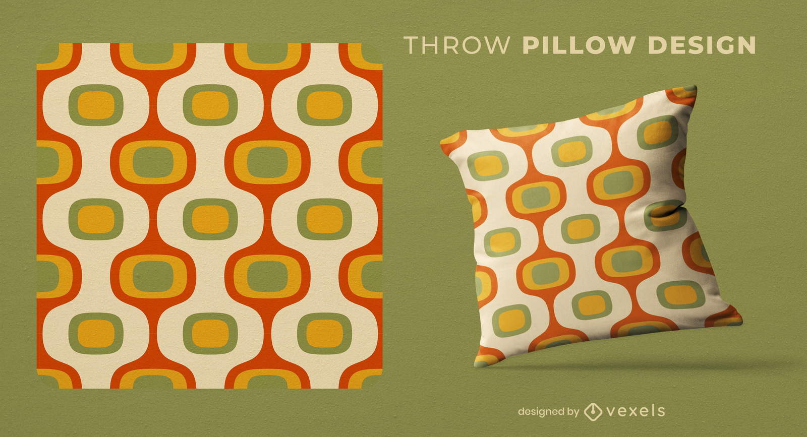
Design de almofada com padr?es retrô
Escolha uma pasta
Todos os favoritos
Criar novo
Salvar
Design de almofada com padr?es retrô
Pronto para imprimir
para Merch
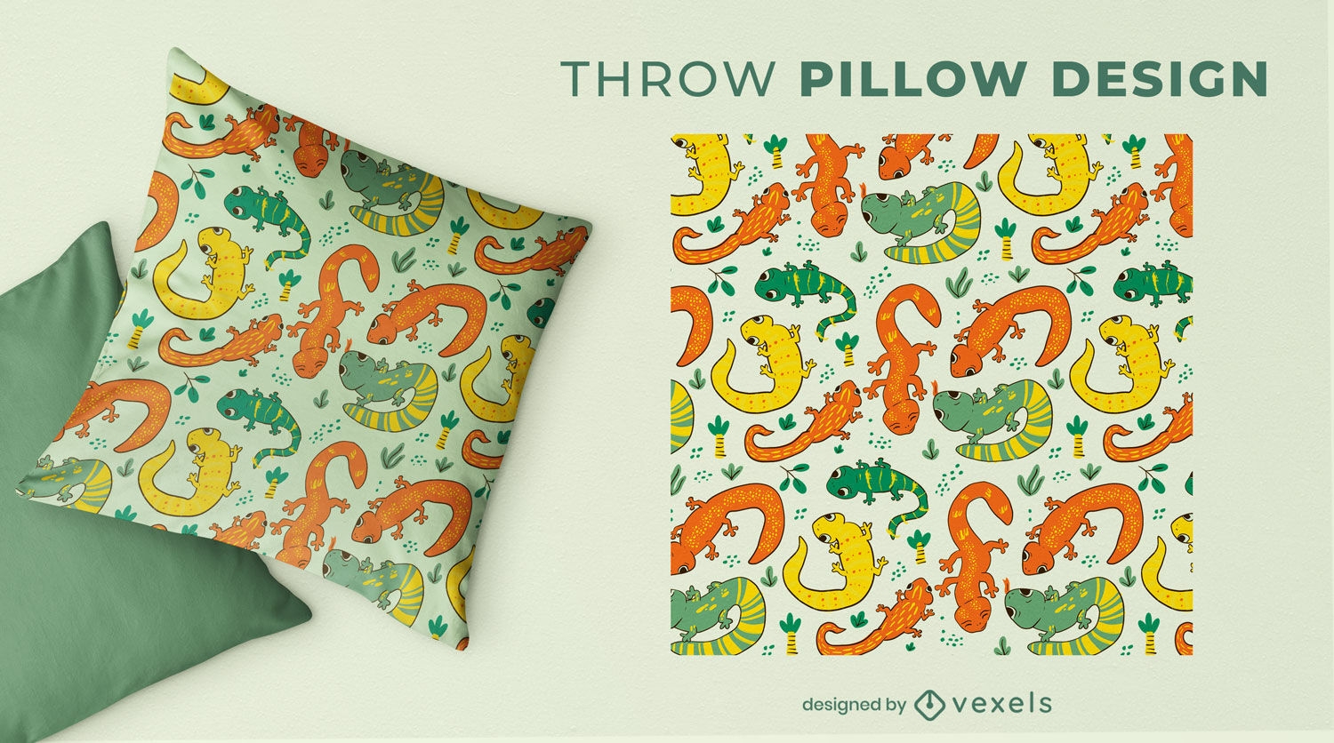
Design de almofada colorida de salamandras
Escolha uma pasta
Todos os favoritos
Criar novo
Salvar
Design de almofada colorida de salamandras
Pronto para imprimir
para Merch
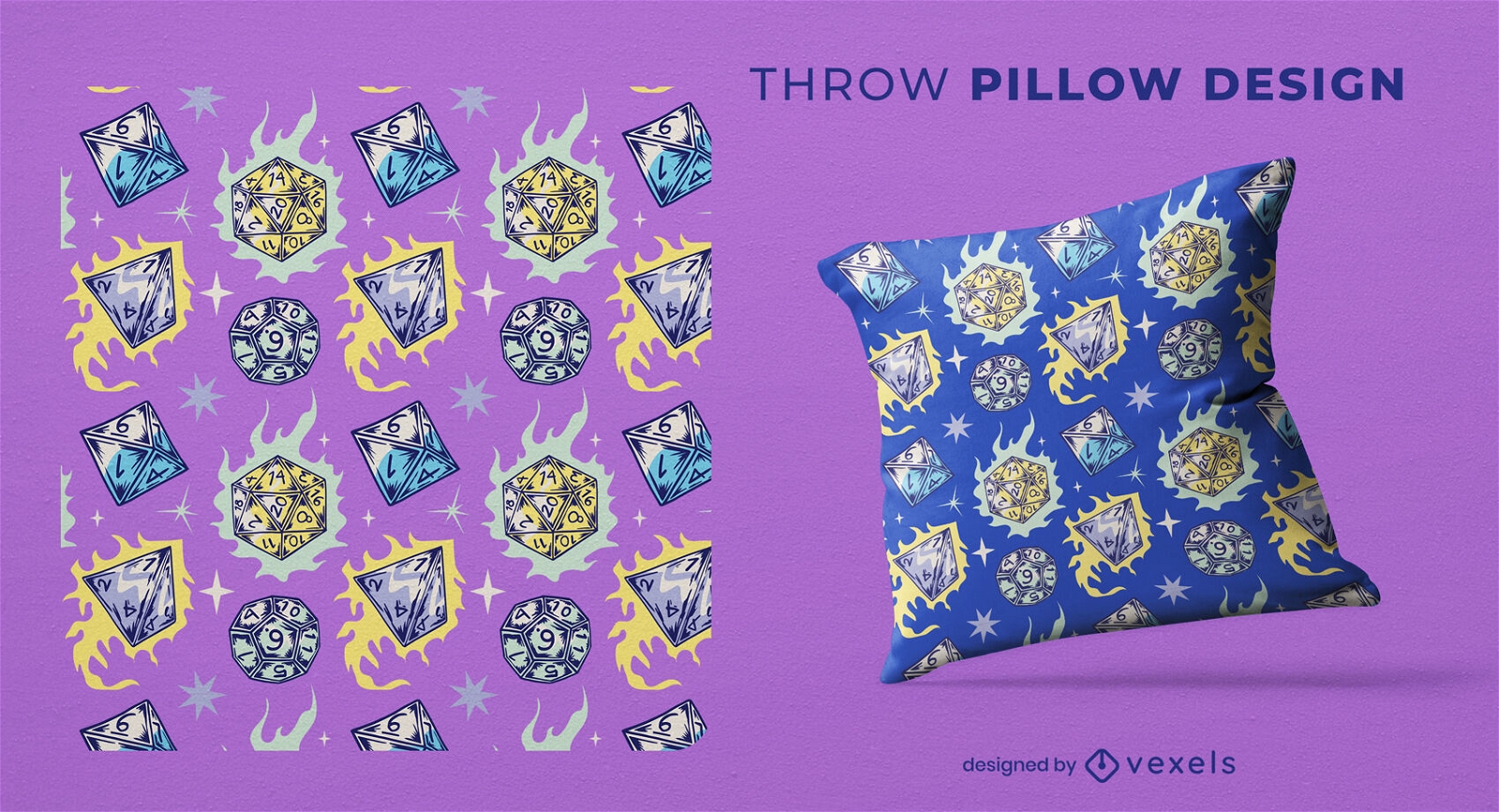
Dados de RPG em design de almofada de fogo
Escolha uma pasta
Todos os favoritos
Criar novo
Salvar
Dados de RPG em design de almofada de fogo
texto editável
Pronto para imprimir
para Merch
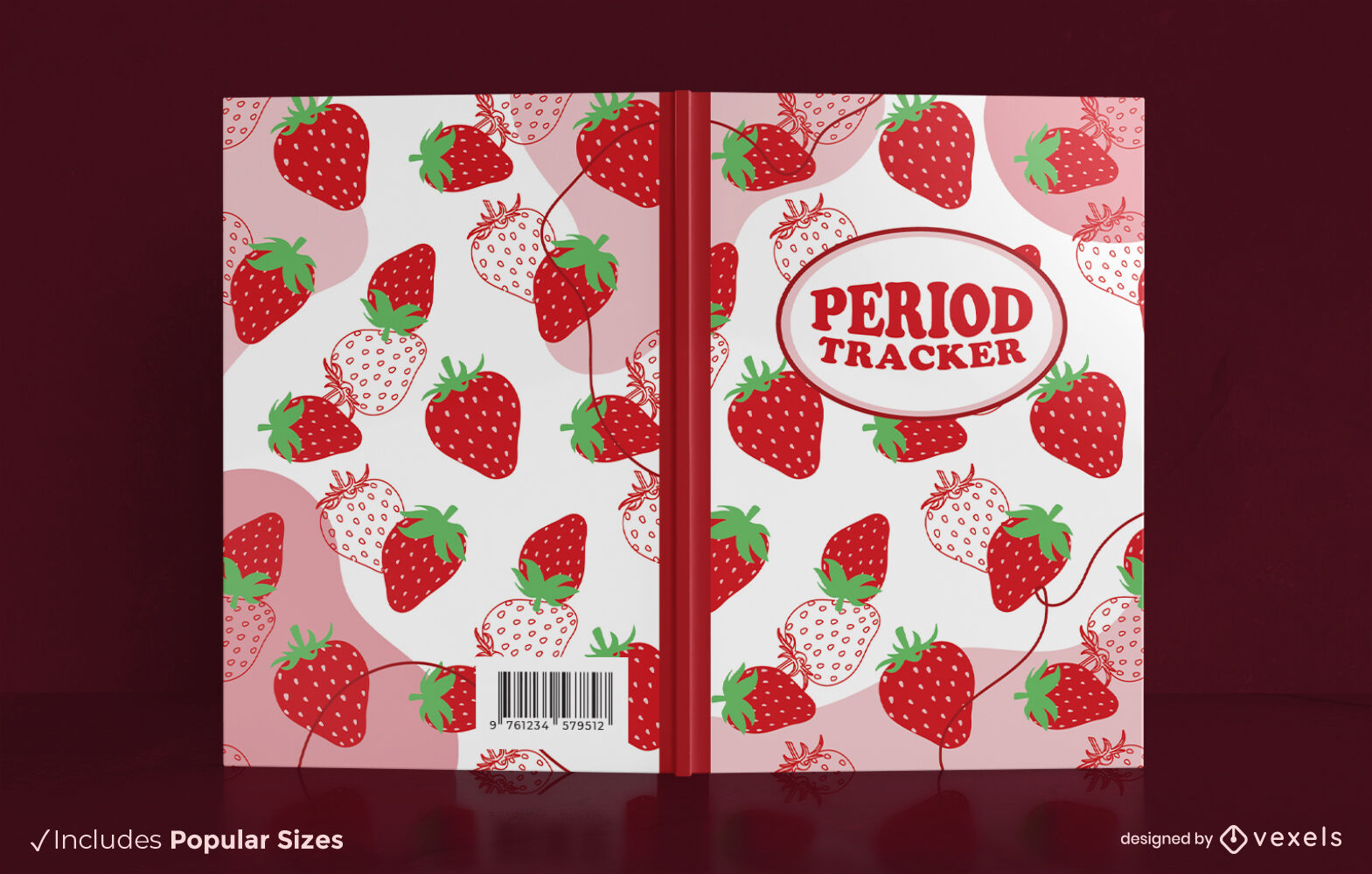
Design de capa de livro de morango rastreador de período
Escolha uma pasta
Todos os favoritos
Criar novo
Salvar
Design de capa de livro de morango rastreador de período
Pronto para imprimir
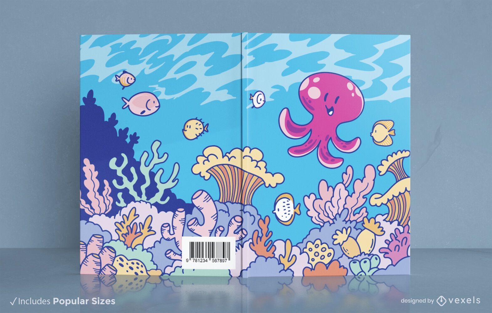
Design de capa de livro de animal marinho de lula fofa
Escolha uma pasta
Todos os favoritos
Criar novo
Salvar
Design de capa de livro de animal marinho de lula fofa
Pronto para imprimir
para Merch
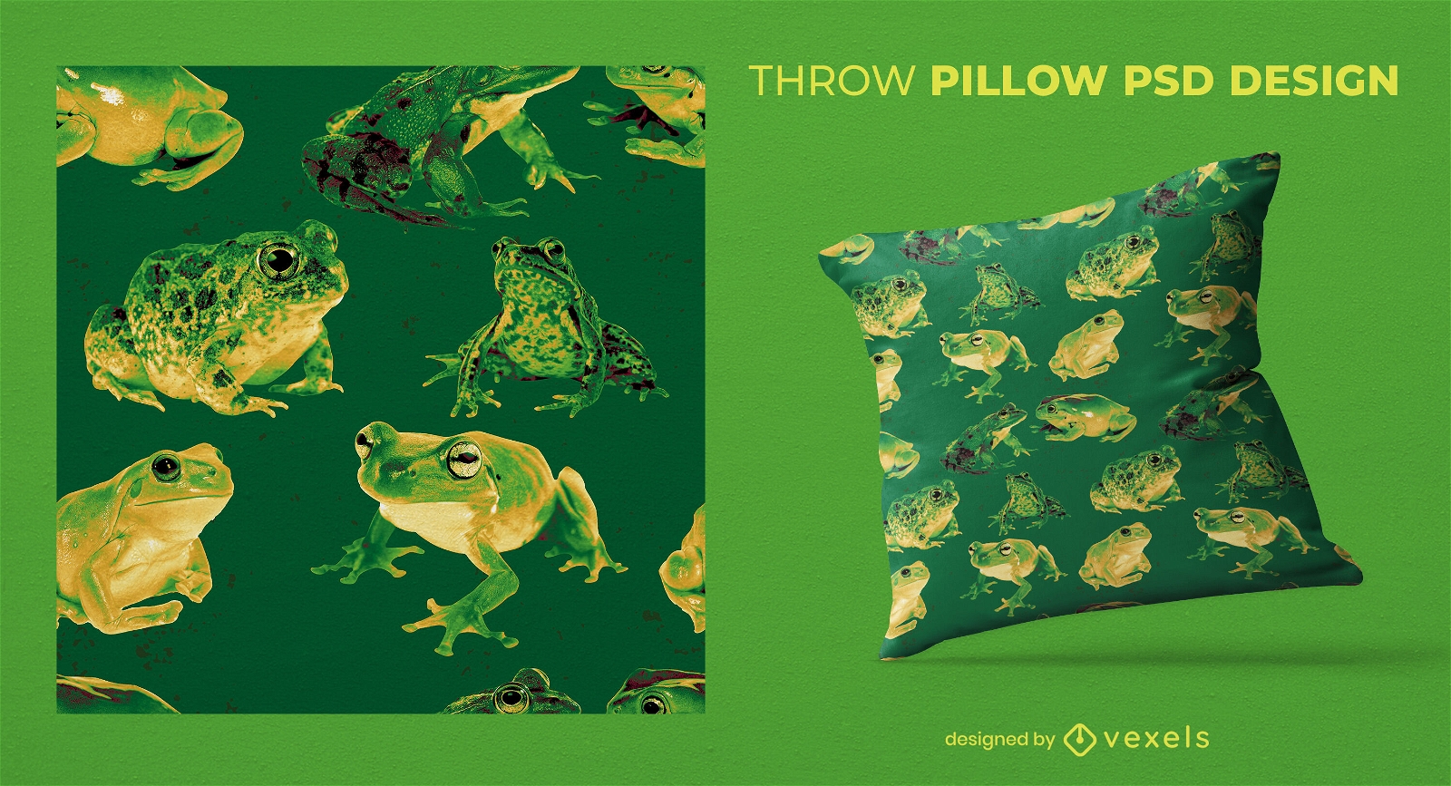
Sapos realistas em almofadas psd
Escolha uma pasta
Todos os favoritos
Criar novo
Salvar
Sapos realistas em almofadas psd
Pronto para imprimir
para Merch
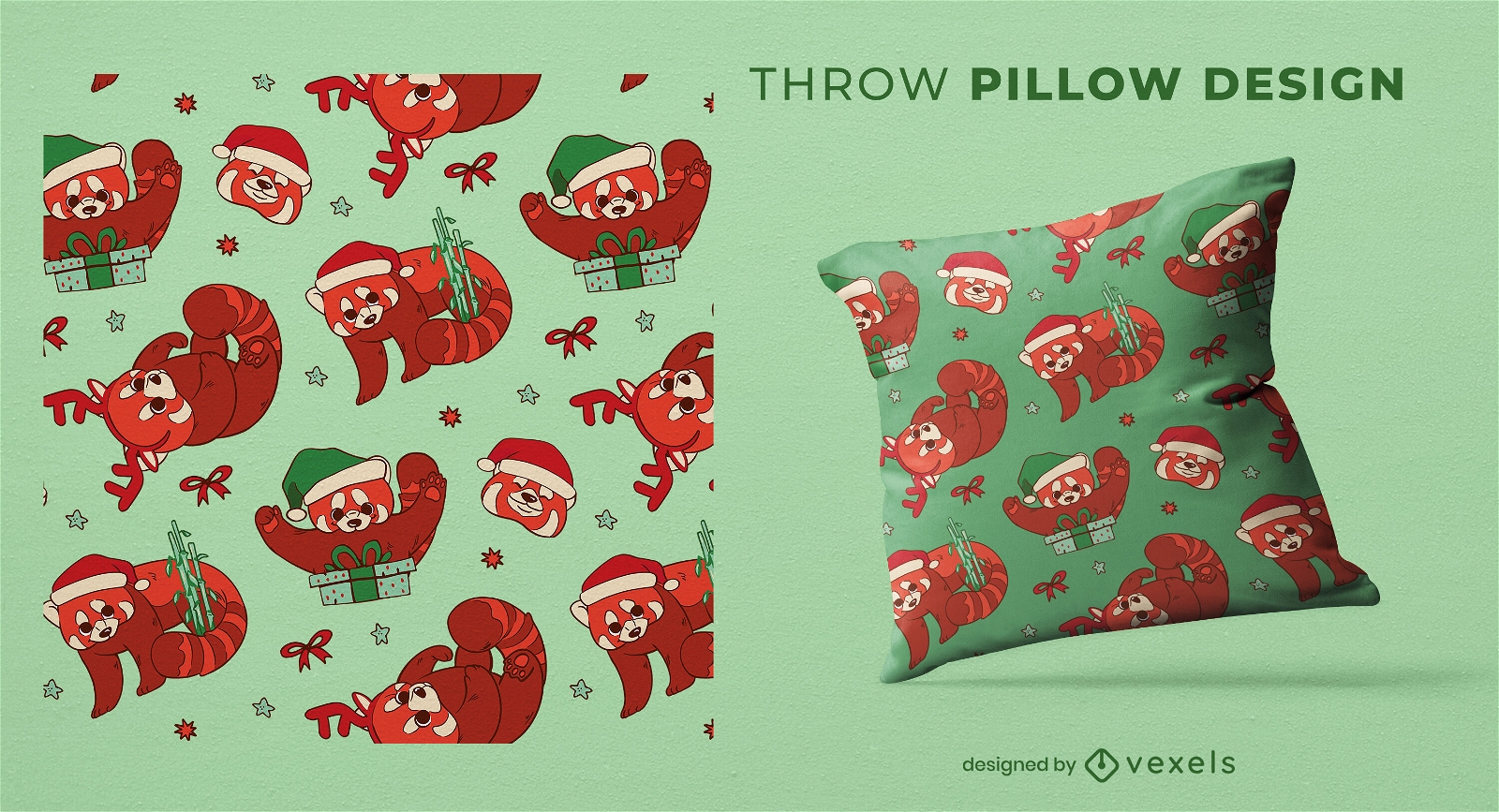
design de almofada de panda vermelho de natal
Escolha uma pasta
Todos os favoritos
Criar novo
Salvar
design de almofada de panda vermelho de natal
texto editável
Pronto para imprimir
Premium
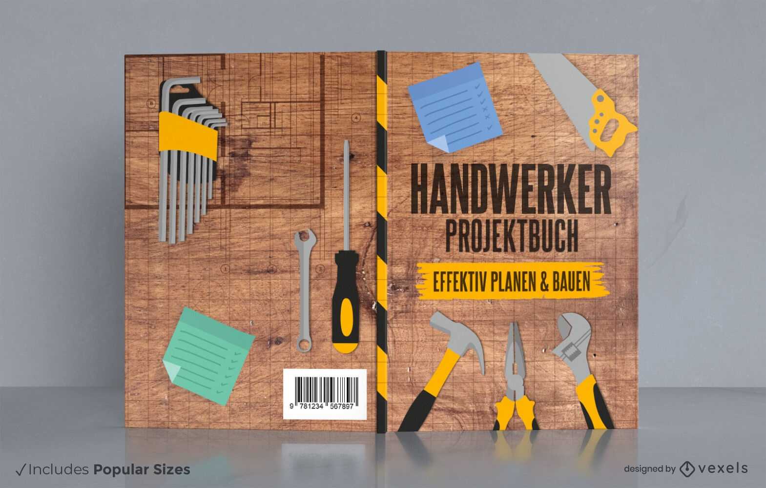
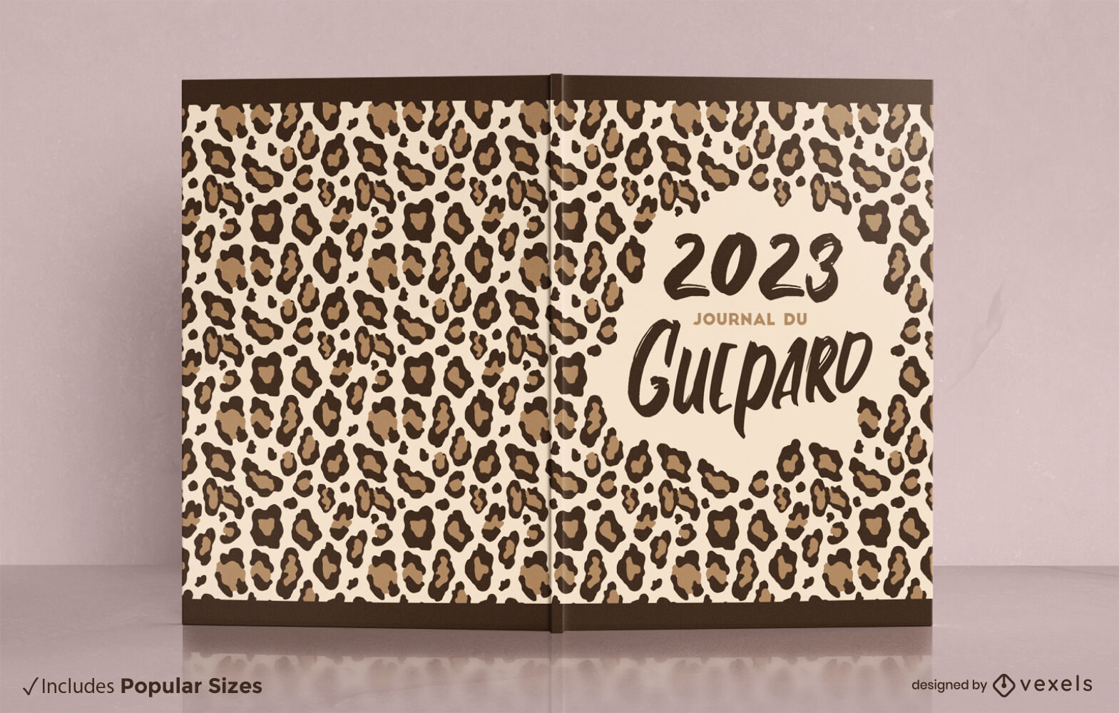
2WCrafting capa de livro KDP design
Escolha uma pasta
Todos os favoritos
Criar novo
Salvar
2WCrafting capa de livro KDP design
texto editável
Pronto para imprimir
para Merch
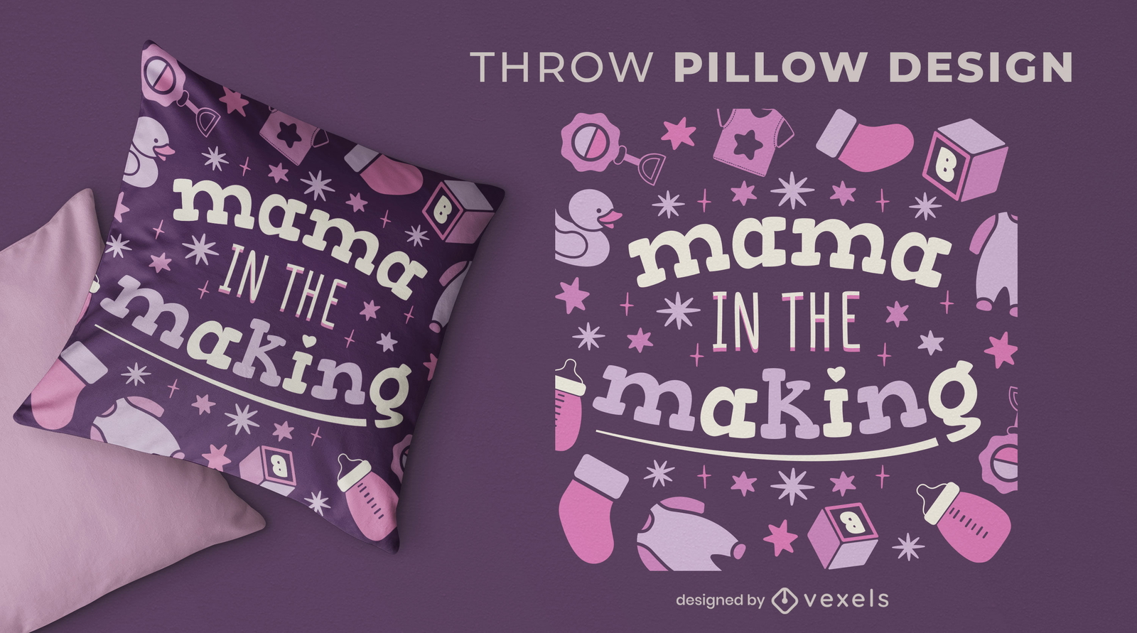
Mamãe fazendo design de almofadas
Escolha uma pasta
Todos os favoritos
Criar novo
Salvar
Mamãe fazendo design de almofadas
texto editável
Pronto para imprimir
para Merch
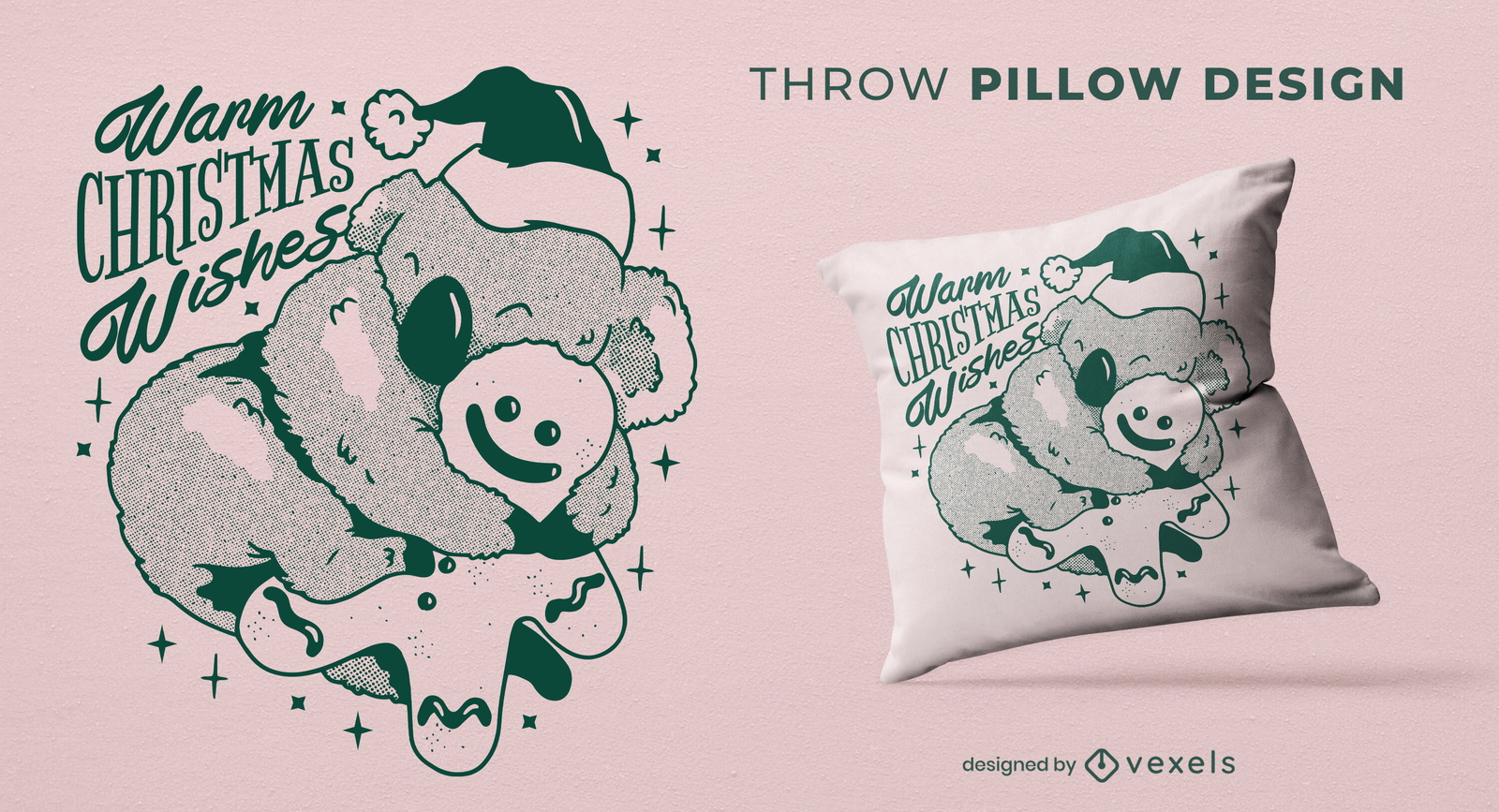
Design de almofada de natal Koala
Escolha uma pasta
Todos os favoritos
Criar novo
Salvar
Design de almofada de natal Koala
texto editável
Pronto para imprimir
para Merch
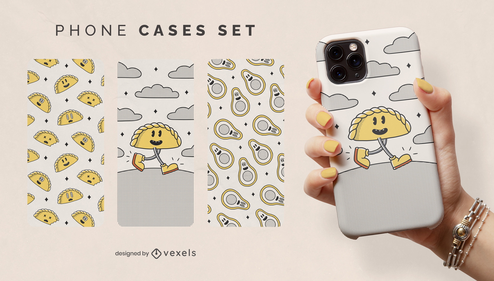
Conjunto de capas de telefone de desenhos animados de comida retrô
Escolha uma pasta
Todos os favoritos
Criar novo
Salvar
Conjunto de capas de telefone de desenhos animados de comida retrô
texto editável
Pronto para imprimir
para Merch
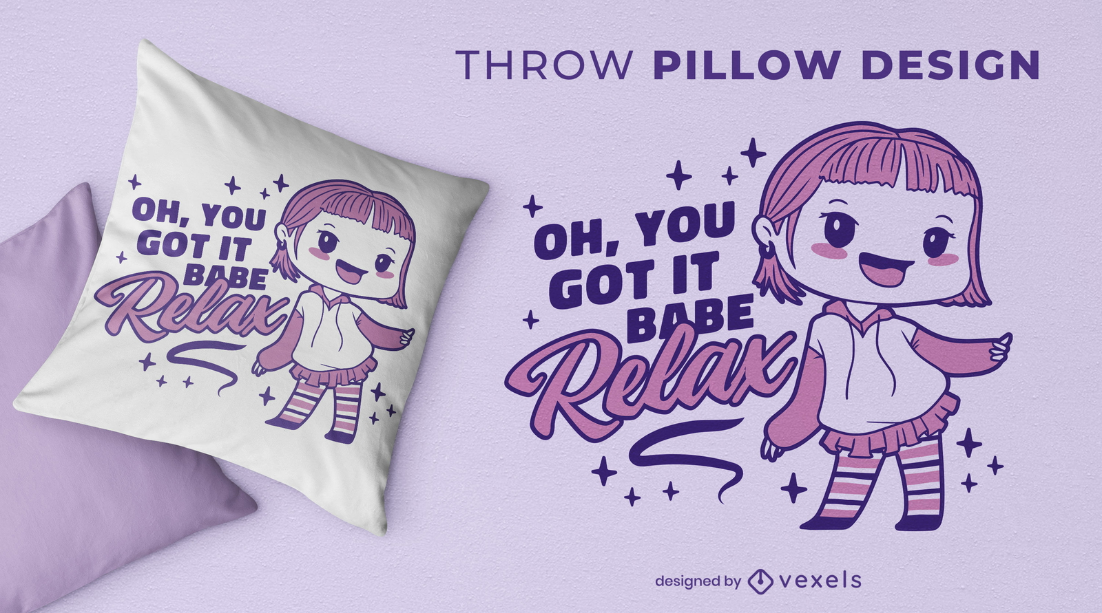
Design de travesseiro de menina bonito dos desenhos animados
Escolha uma pasta
Todos os favoritos
Criar novo
Salvar
Design de travesseiro de menina bonito dos desenhos animados
texto editável
Pronto para imprimir
para Merch
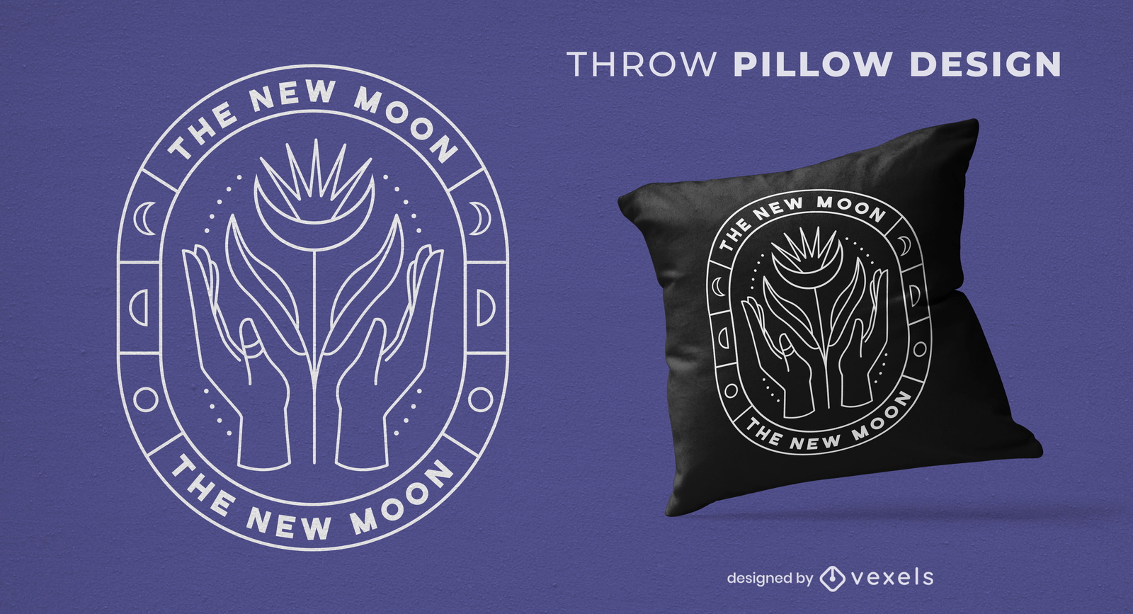
Lua e mãos místicas design de almofadas
Escolha uma pasta
Todos os favoritos
Criar novo
Salvar
Lua e mãos místicas design de almofadas
Pronto para imprimir
para Merch
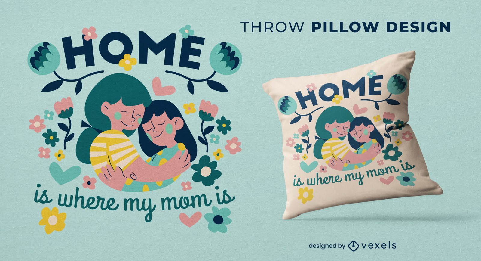
Projeto de almofada mãe e filha
Escolha uma pasta
Todos os favoritos
Criar novo
Salvar
Projeto de almofada mãe e filha
Pronto para imprimir
para Merch
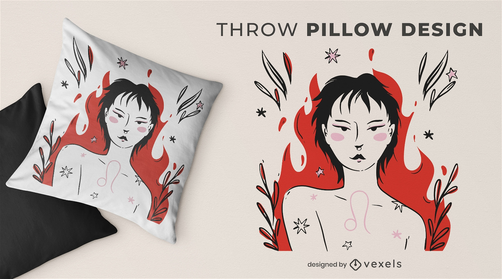
Design de almofadas de leonina
Escolha uma pasta
Todos os favoritos
Criar novo
Salvar
Design de almofadas de leonina
Pronto para imprimir
para Merch
Design de almofadas com estampas de flores
Escolha uma pasta
Todos os favoritos
Criar novo
Salvar
Design de almofadas com estampas de flores
Pronto para imprimir
para Merch
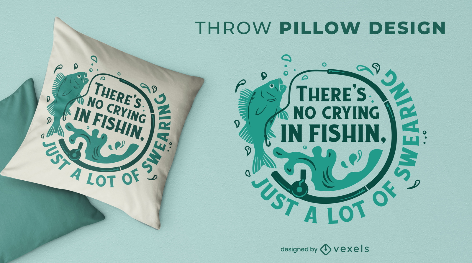
Design engraçado de almofada de pesca
Escolha uma pasta
Todos os favoritos
Criar novo
Salvar
Design engraçado de almofada de pesca
Pronto para imprimir
para Merch
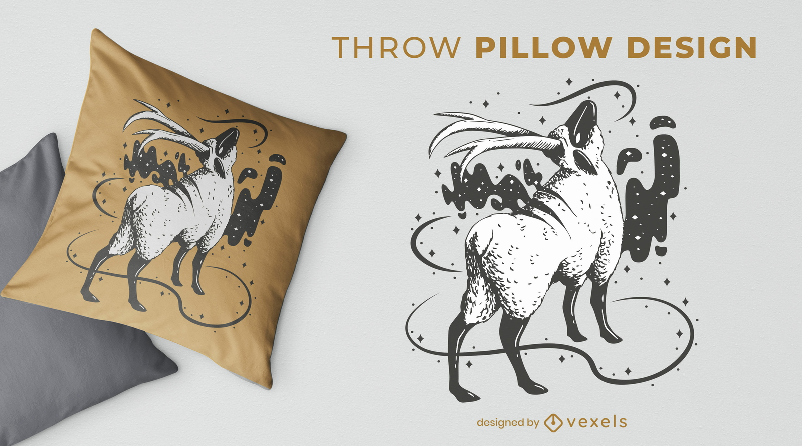
Design de almofada mágica para animais de ovelha
Escolha uma pasta
Todos os favoritos
Criar novo
Salvar
Design de almofada mágica para animais de ovelha
Pronto para imprimir
para Merch
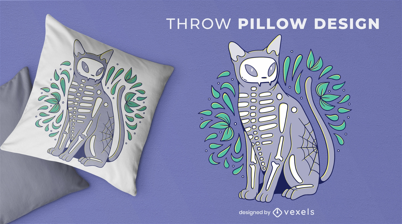
Design de travesseiro de esqueleto de animal para gato
Escolha uma pasta
Todos os favoritos
Criar novo
Salvar
Design de travesseiro de esqueleto de animal para gato
Pronto para imprimir
para Merch
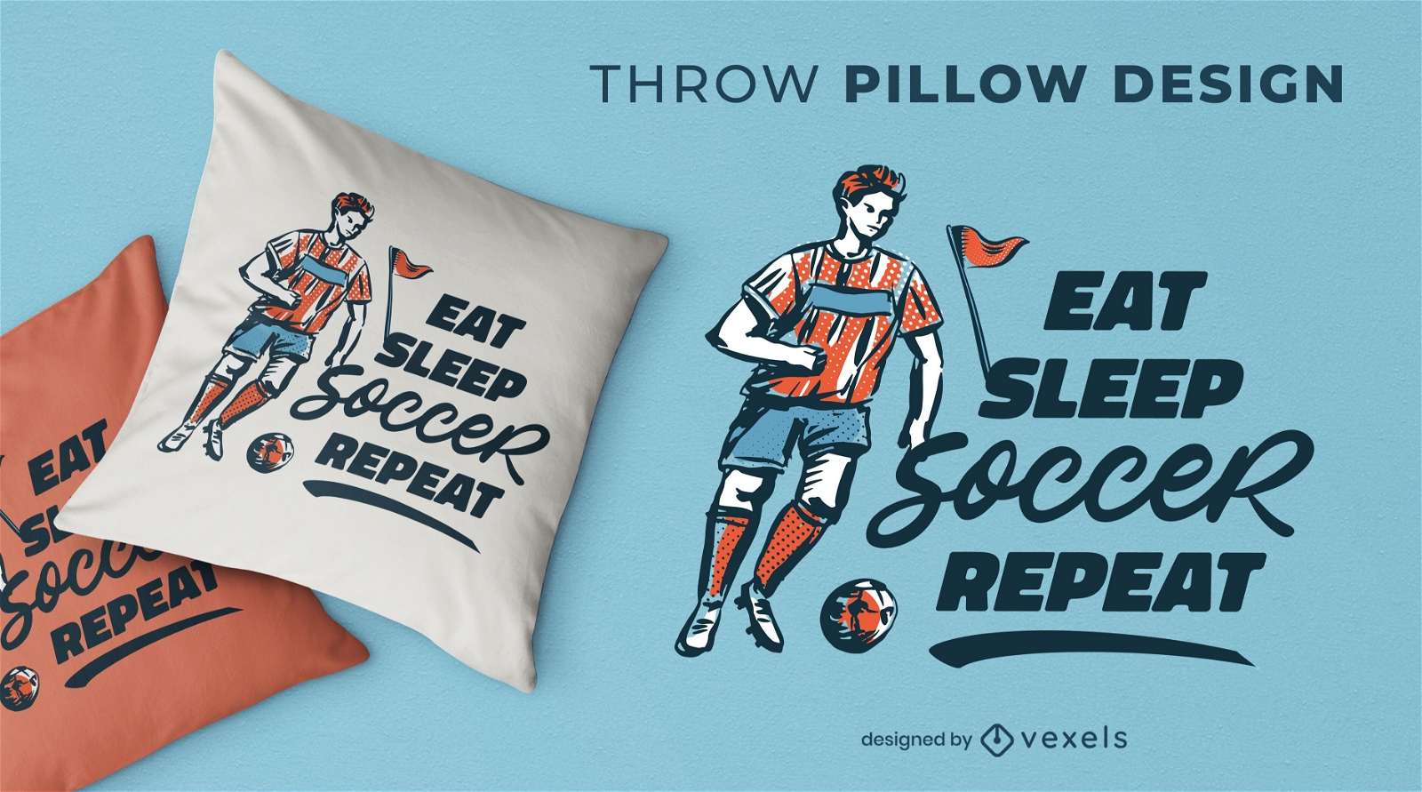
Design de almofadas de rotina de esporte de futebol
Escolha uma pasta
Todos os favoritos
Criar novo
Salvar
Design de almofadas de rotina de esporte de futebol
texto editável
Pronto para imprimir
para Merch
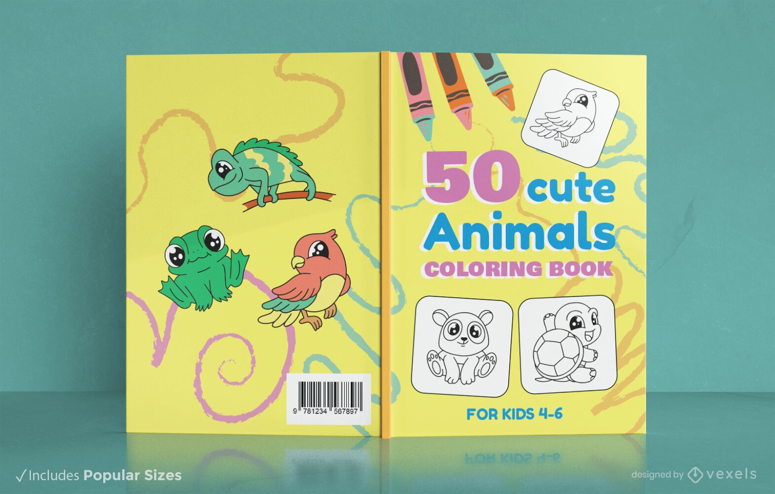
Design de livro para colorir de animais infantis
Escolha uma pasta
Todos os favoritos
Criar novo
Salvar
Design de livro para colorir de animais infantis
Pronto para imprimir
para Merch
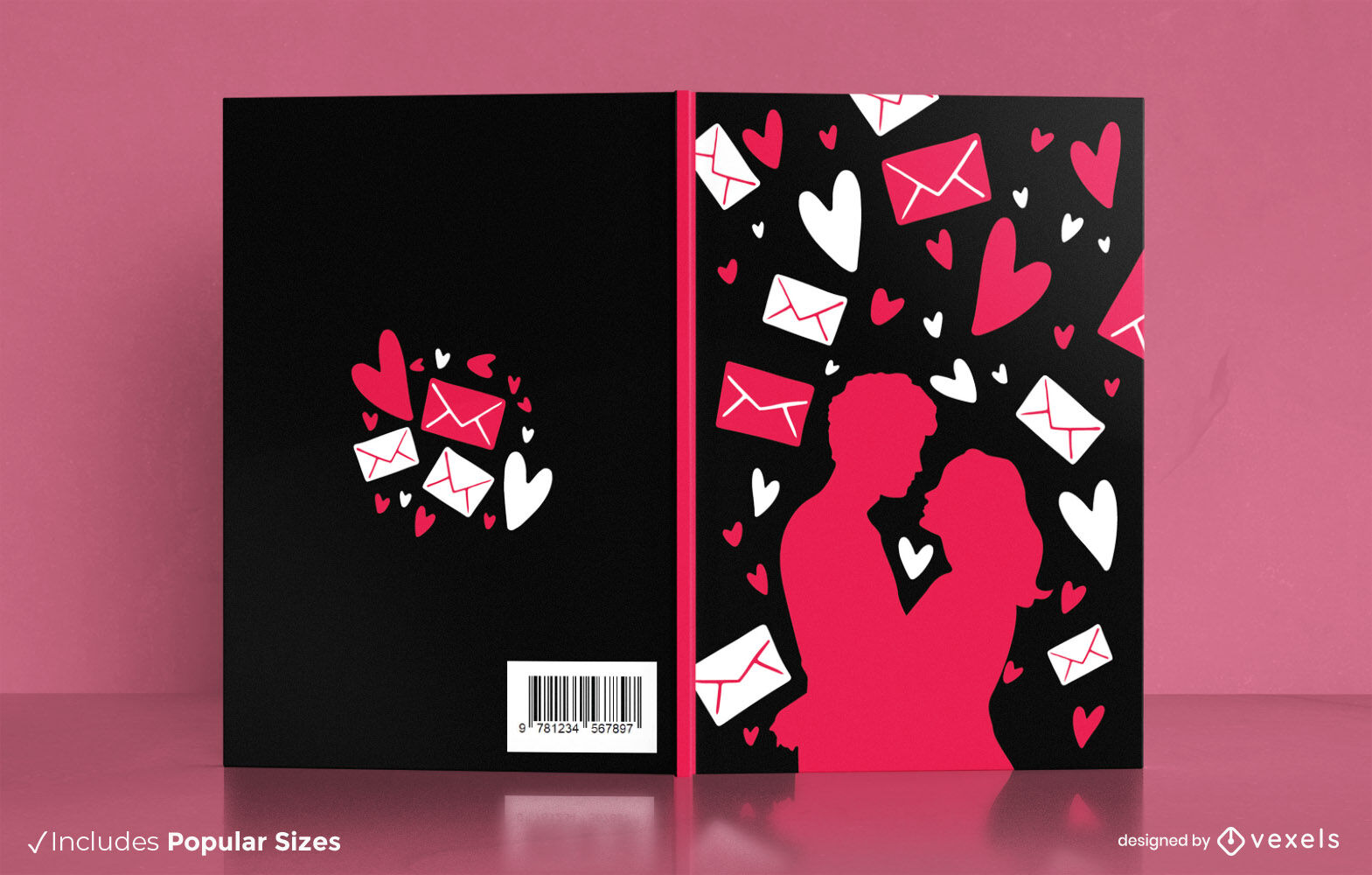
Design de capa de livro de silhueta de casal romântico
Escolha uma pasta
Todos os favoritos
Criar novo
Salvar
Design de capa de livro de silhueta de casal romântico
texto editável
Pronto para imprimir
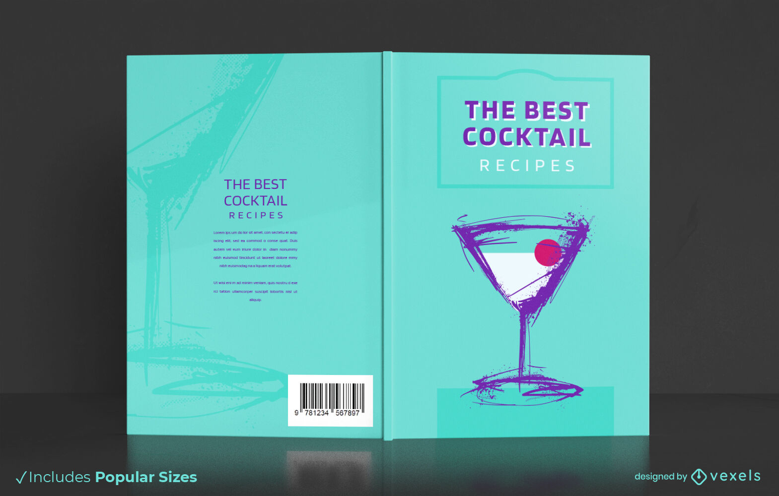
Design de capa de livro de bebida alcoólica
Escolha uma pasta
Todos os favoritos
Criar novo
Salvar
Design de capa de livro de bebida alcoólica
texto editável
Pronto para imprimir
para Merch
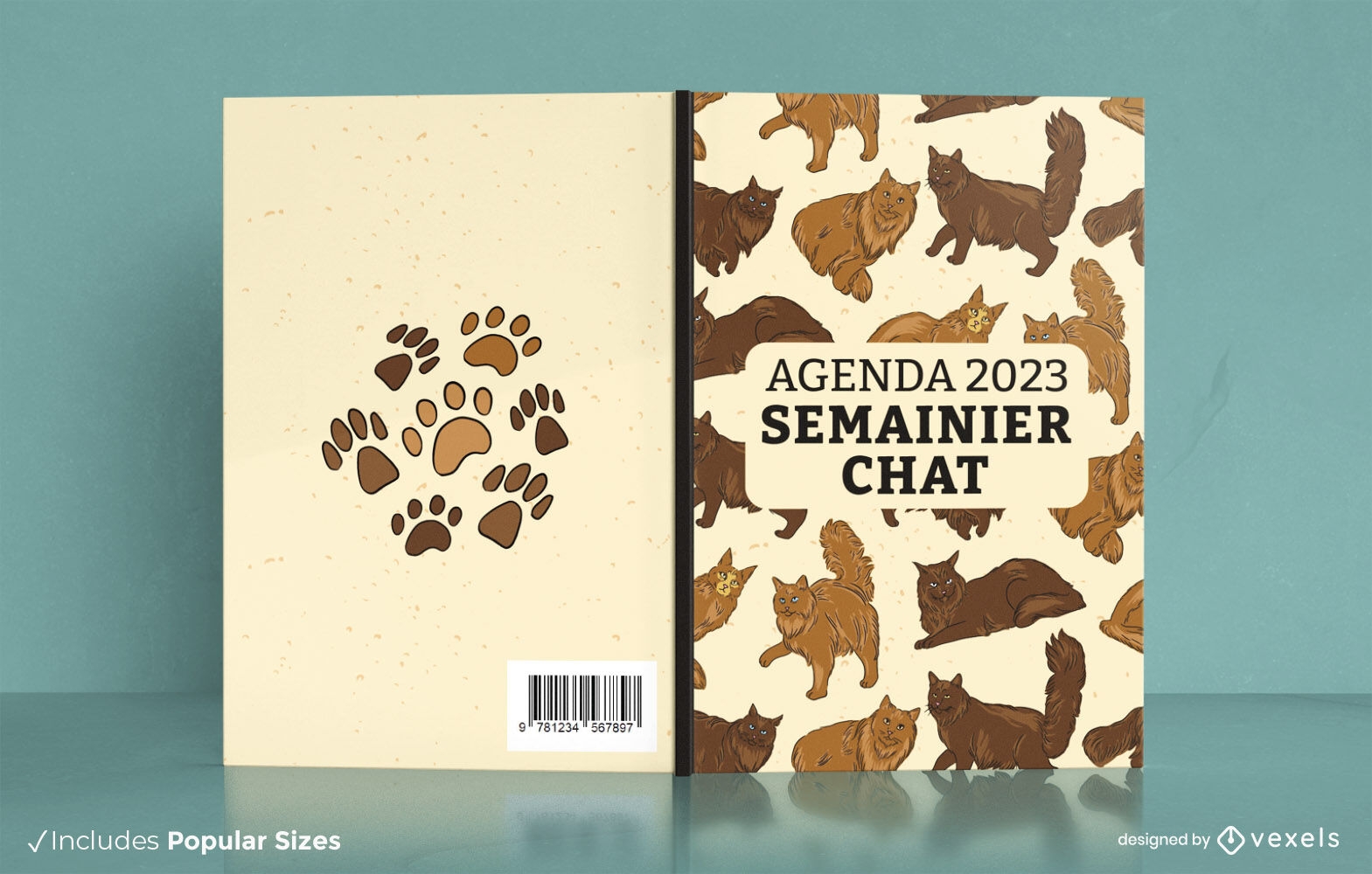
Design de capa de livro de gatos Maine Coon KDP
Escolha uma pasta
Todos os favoritos
Criar novo
Salvar
Design de capa de livro de gatos Maine Coon KDP
Pronto para imprimir
para Merch
flores de estilo asiático design de almofada
Escolha uma pasta
Todos os favoritos
Criar novo
Salvar
flores de estilo asiático design de almofada
texto editável
Pronto para imprimir
para Merch
Design de capa de livro de textura de impressão animal
Escolha uma pasta
Todos os favoritos
Criar novo
Salvar
Design de capa de livro de textura de impressão animal
Pronto para imprimir
para Merch
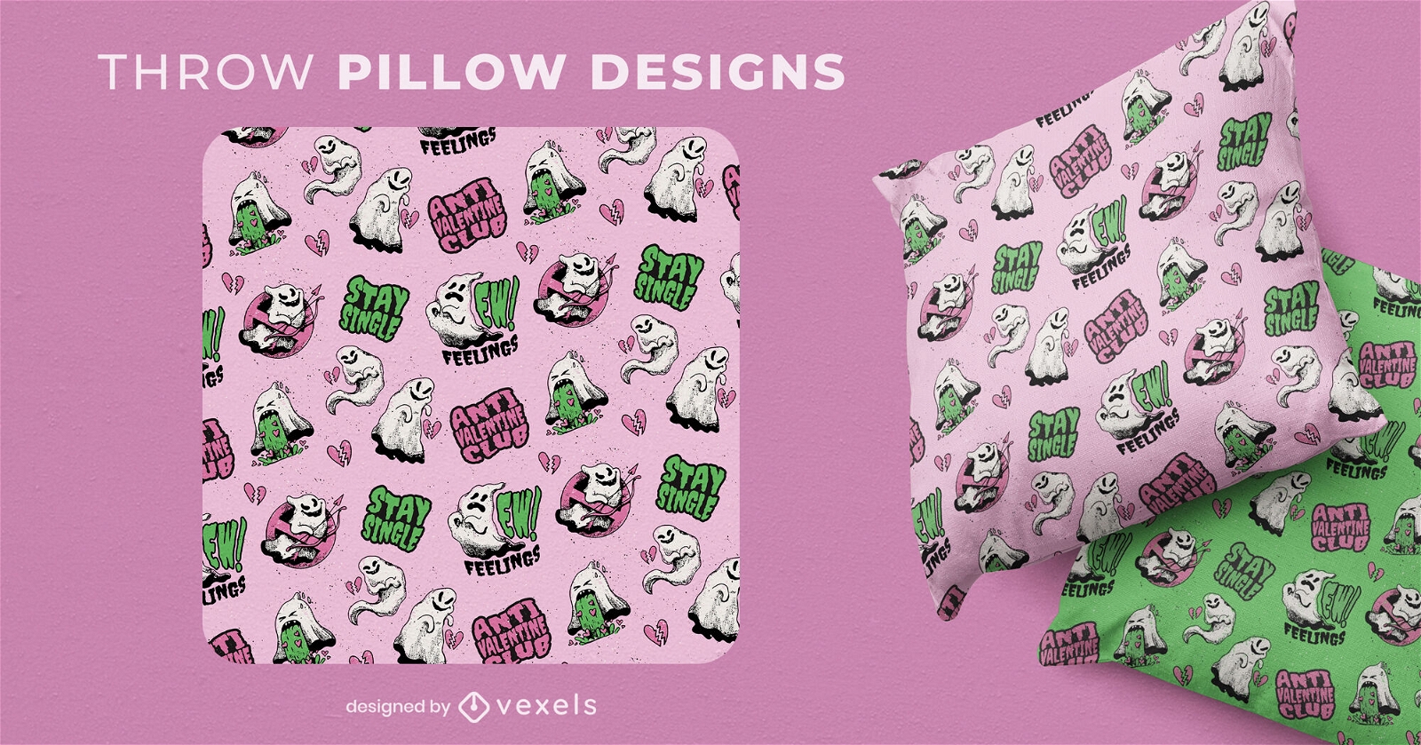
Design de almofada anti fantasma do dia dos namorados
Escolha uma pasta
Todos os favoritos
Criar novo
Salvar
Design de almofada anti fantasma do dia dos namorados
texto editável
Pronto para imprimir
para Merch
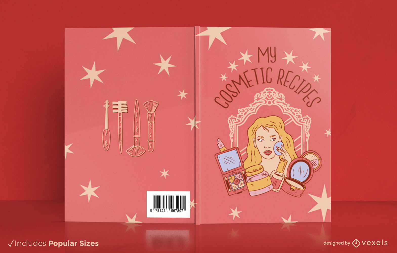
Meu design de capa de livro de receitas cosméticas KDP
Escolha uma pasta
Todos os favoritos
Criar novo
Salvar
Meu design de capa de livro de receitas cosméticas KDP
texto editável
Pronto para imprimir
para Merch
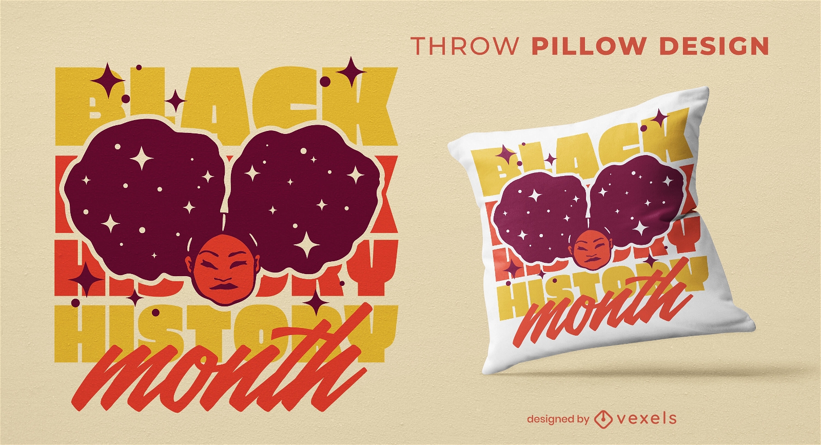
Design de travesseiro de menina de cabelo afro
Escolha uma pasta
Todos os favoritos
Criar novo
Salvar
Design de travesseiro de menina de cabelo afro
Pronto para imprimir
para Merch
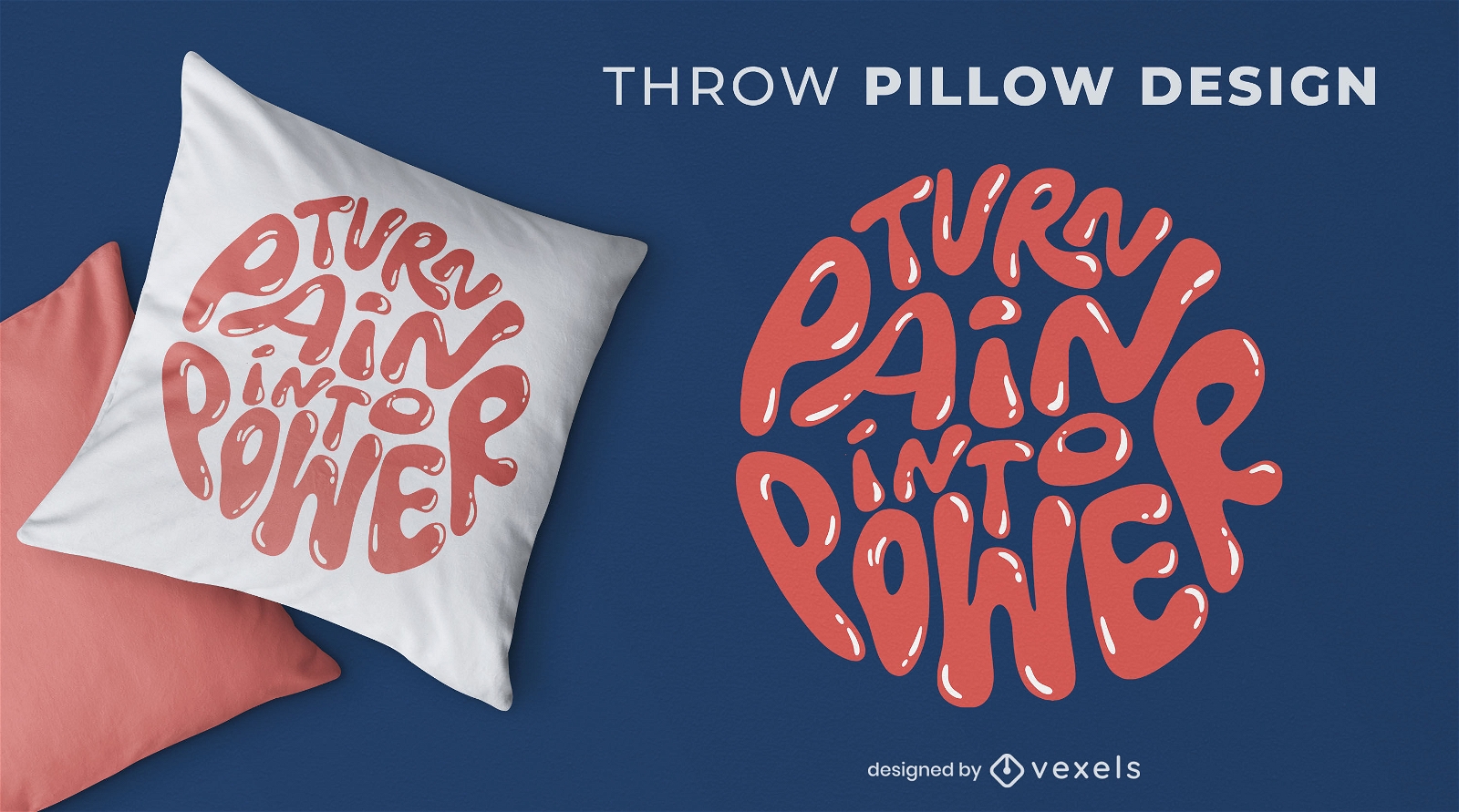
Design de almofada com letras de dor e poder
Escolha uma pasta
Todos os favoritos
Criar novo
Salvar
Design de almofada com letras de dor e poder
Pronto para imprimir
para Merch
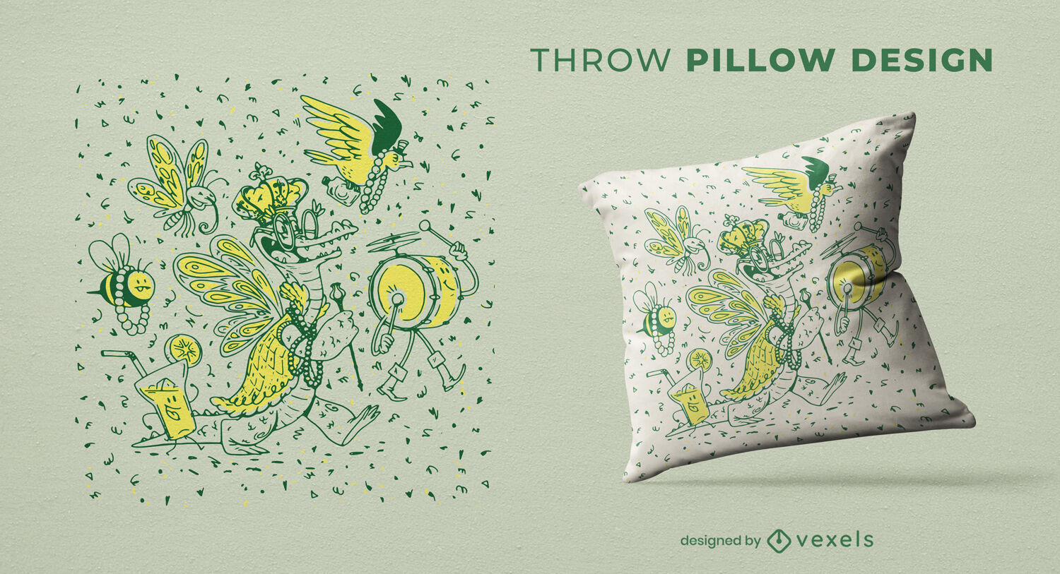
Design de almofada duotônica Mardi Gras
Escolha uma pasta
Todos os favoritos
Criar novo
Salvar
Design de almofada duotônica Mardi Gras
Pronto para imprimir
para Merch
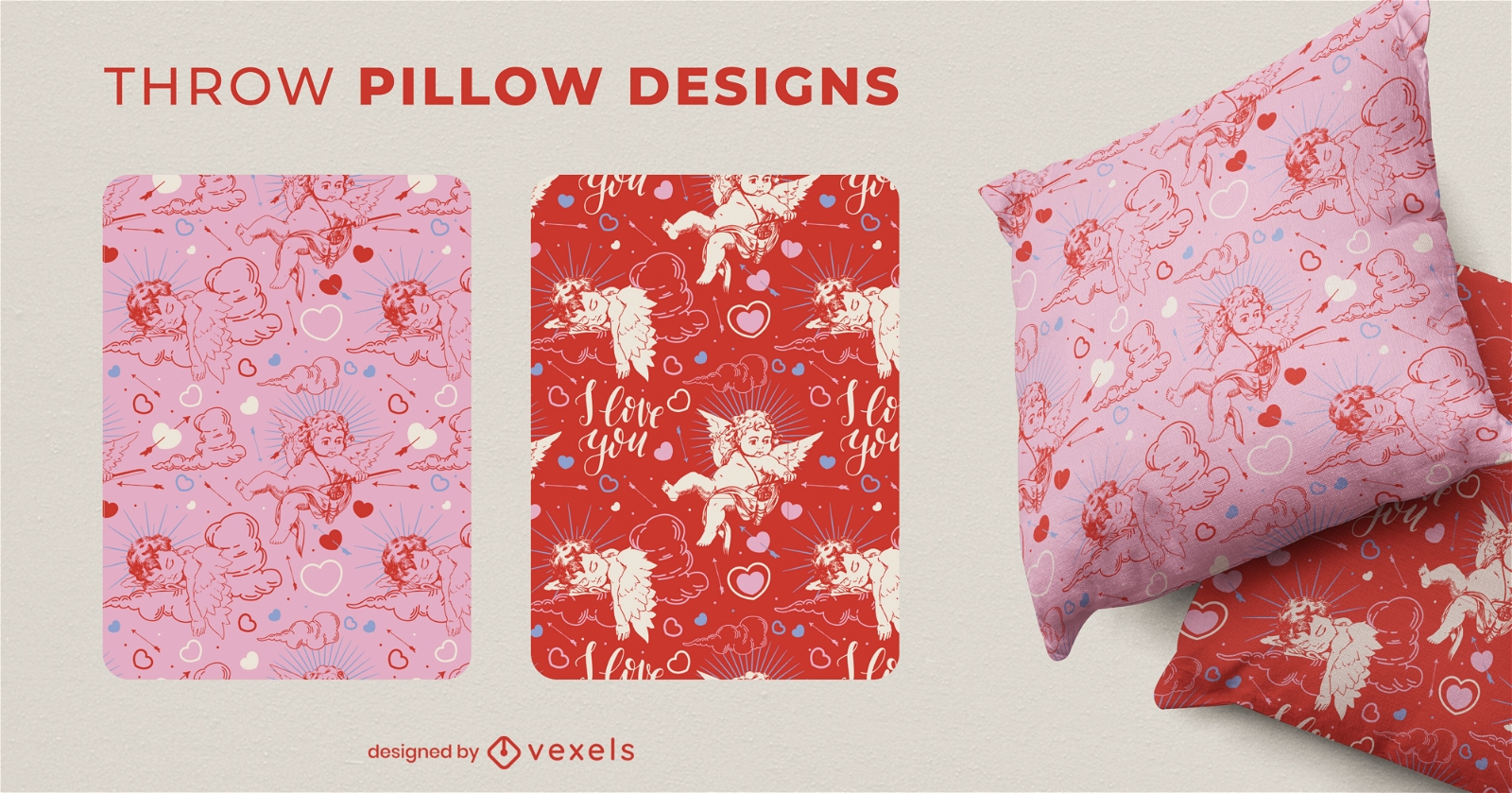
Design de travesseiro decorativo de cupido de feriado do dia dos namorados
Escolha uma pasta
Todos os favoritos
Criar novo
Salvar
Design de travesseiro decorativo de cupido de feriado do dia dos namorados
Pronto para imprimir
para Merch
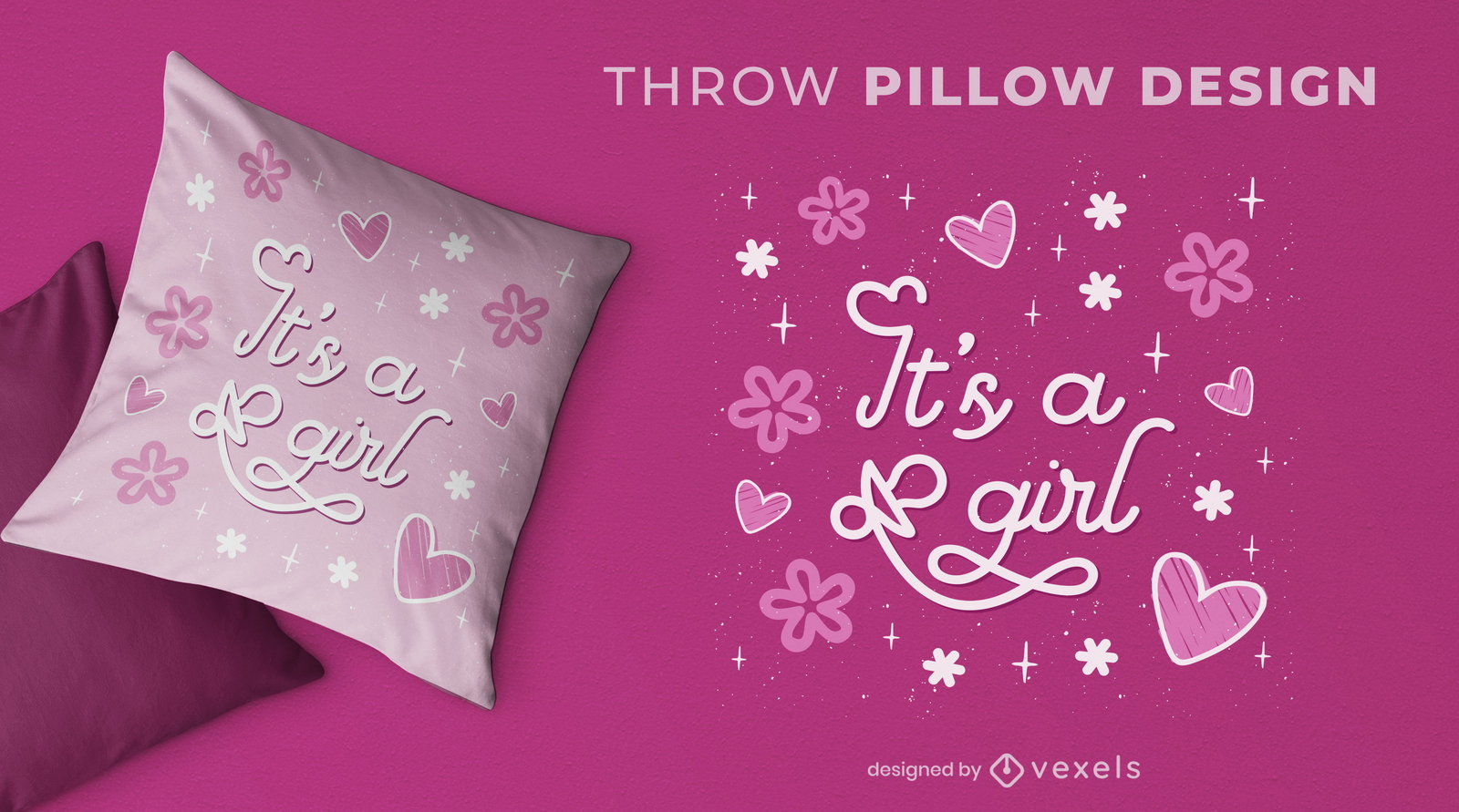
Gênero de menina revelam design de almofada
Escolha uma pasta
Todos os favoritos
Criar novo
Salvar
Gênero de menina revelam design de almofada
Pronto para imprimir
para Merch
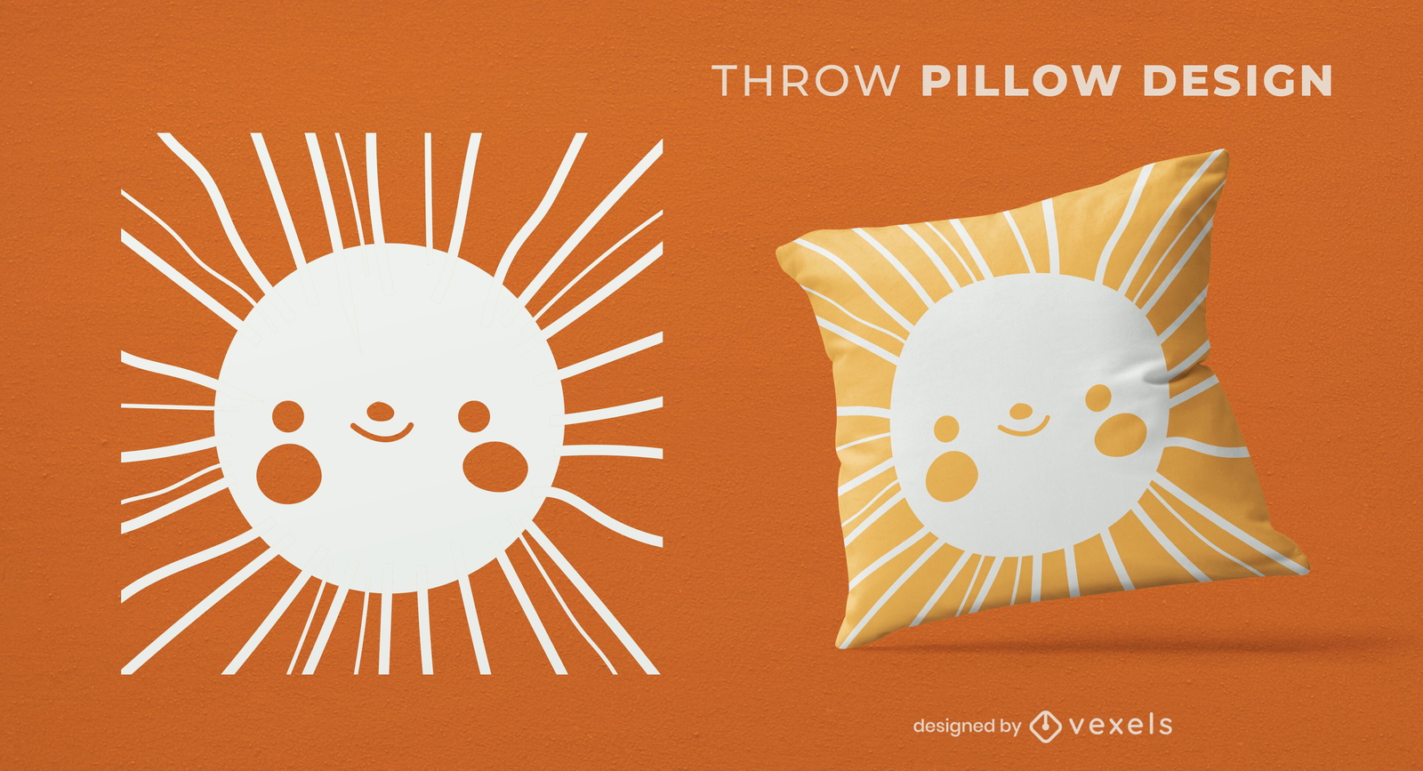
Design de almofadas solares para rosto feliz
Escolha uma pasta
Todos os favoritos
Criar novo
Salvar
Design de almofadas solares para rosto feliz
Pronto para imprimir
para Merch
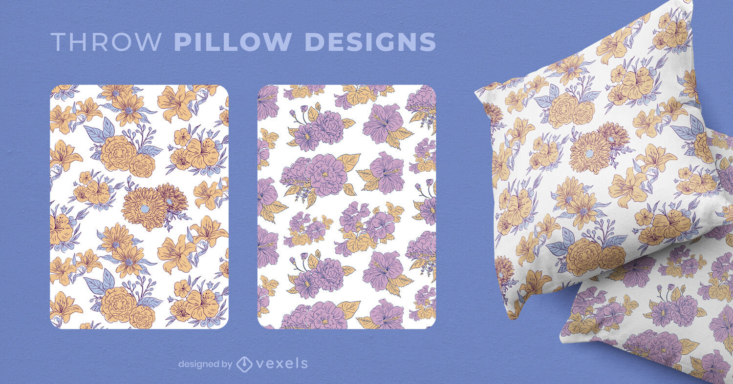
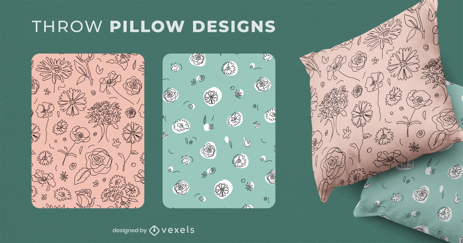
Desenhos de almofadas com flores
Escolha uma pasta
Todos os favoritos
Criar novo
Salvar
Desenhos de almofadas com flores
Premium
Cauda de crocodilo de crocodilo plana Desenho PNG
Escolha uma pasta
Todos os favoritos
Criar novo
Salvar
Cauda de crocodilo de crocodilo plana Desenho PNG
Premium
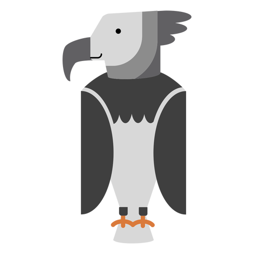
Ilustração do pássaro harpia Desenho PNG
Escolha uma pasta
Todos os favoritos
Criar novo
Salvar
Ilustração do pássaro harpia Desenho PNG
Pronto para imprimir
para Merch
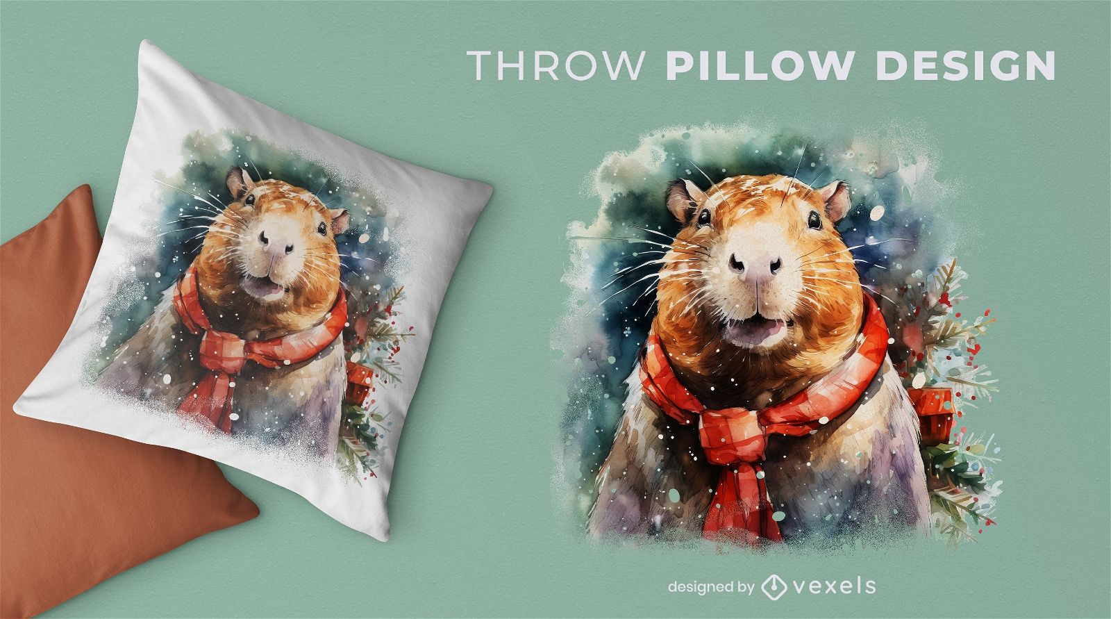
Design de almofada de natal capivara
Escolha uma pasta
Todos os favoritos
Criar novo
Salvar
Design de almofada de natal capivara
Pronto para imprimir
para Merch
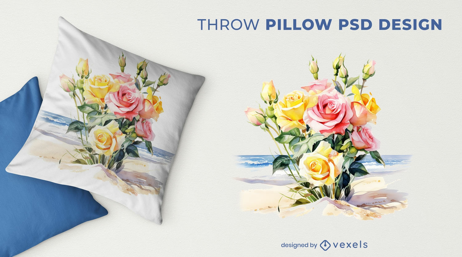
Rosas na praia design de almofada
Escolha uma pasta
Todos os favoritos
Criar novo
Salvar
Rosas na praia design de almofada
texto editável
Pronto para imprimir
para Merch
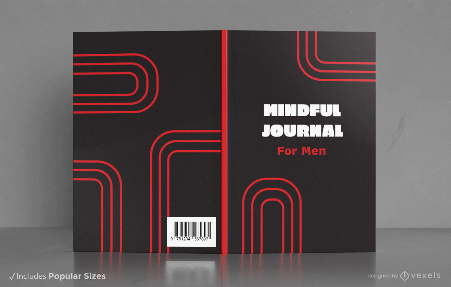
Design de capa de livro de diário consciente minimalista KDP
Escolha uma pasta
Todos os favoritos
Criar novo
Salvar
Design de capa de livro de diário consciente minimalista KDP
Pronto para imprimir
para Merch
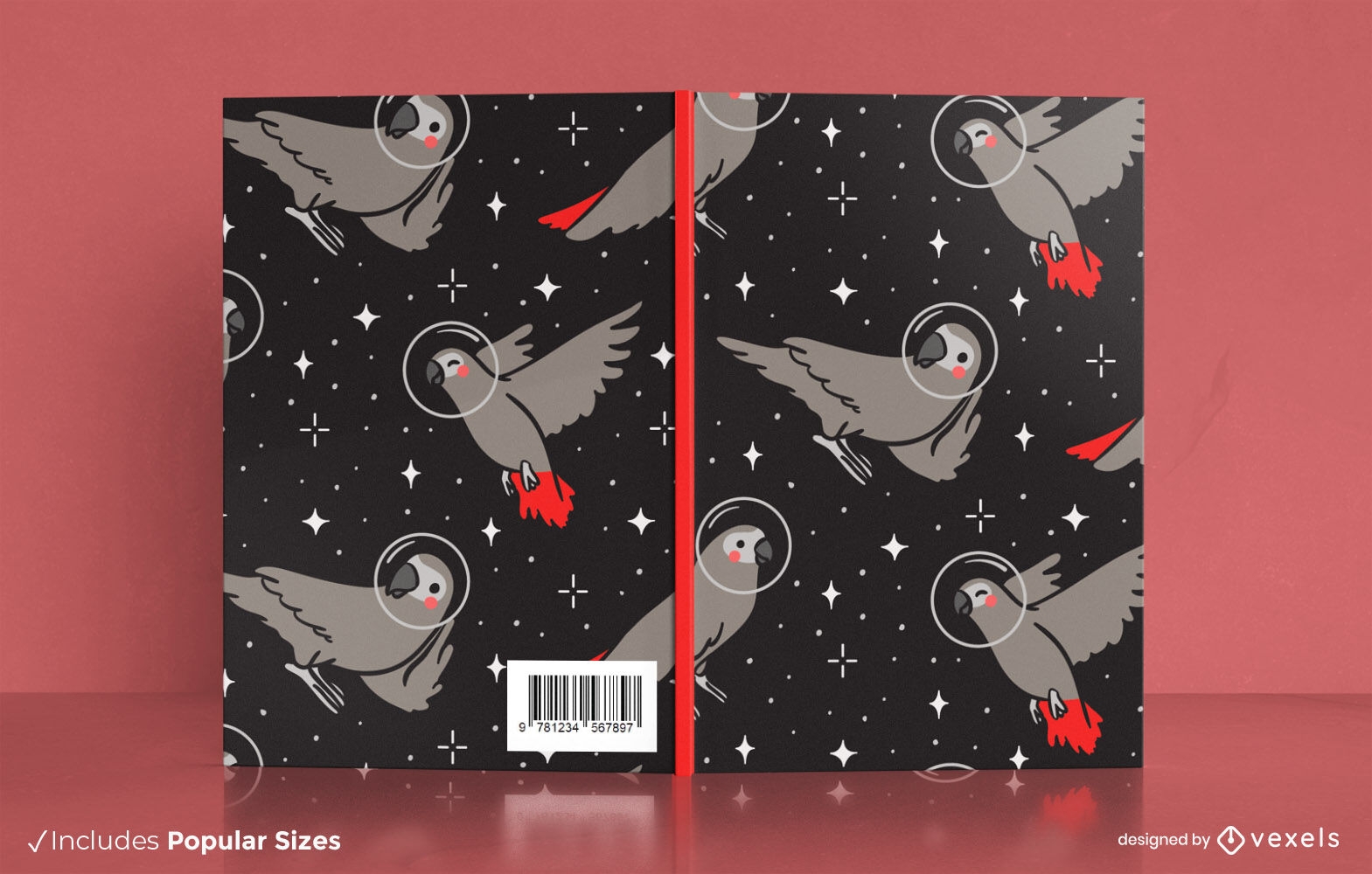
Design de capa de livro de papagaio astronauta
Escolha uma pasta
Todos os favoritos
Criar novo
Salvar
Design de capa de livro de papagaio astronauta
texto editável
Pronto para imprimir
para Merch
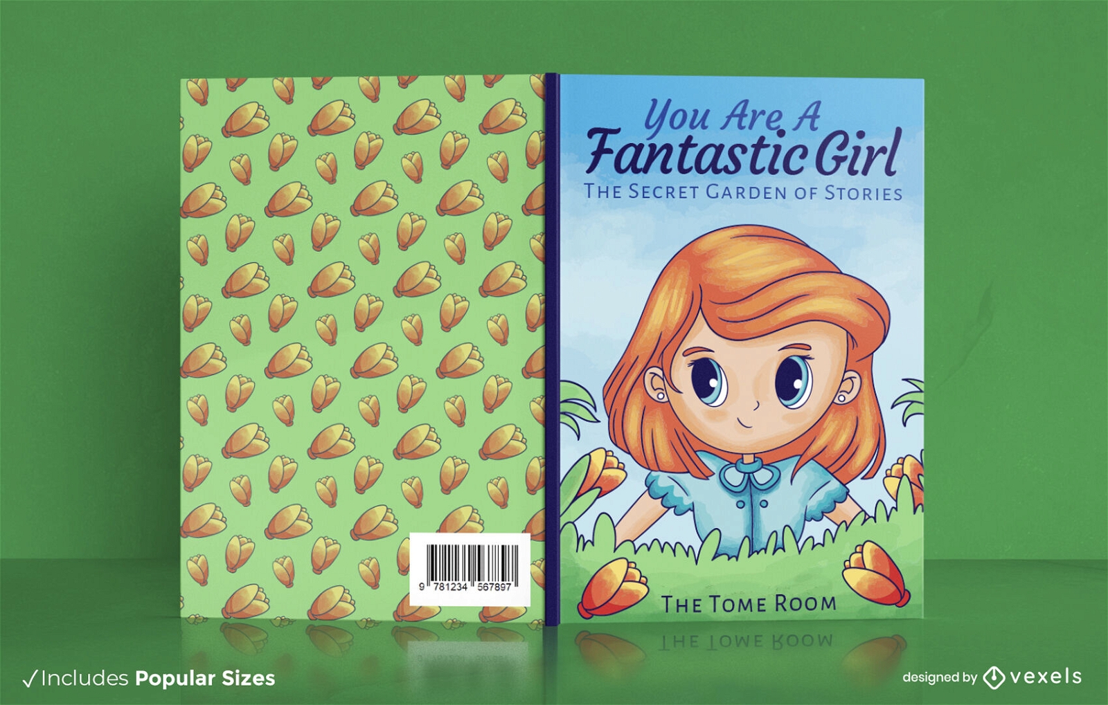
Garota ruiva no design de capa de livro de jardim
Escolha uma pasta
Todos os favoritos
Criar novo
Salvar
Garota ruiva no design de capa de livro de jardim
Pronto para imprimir
para Merch
Design de travesseiro decorativo de gravata azul
Escolha uma pasta
Todos os favoritos
Criar novo
Salvar
Design de travesseiro decorativo de gravata azul
Pronto para imprimir
para Merch
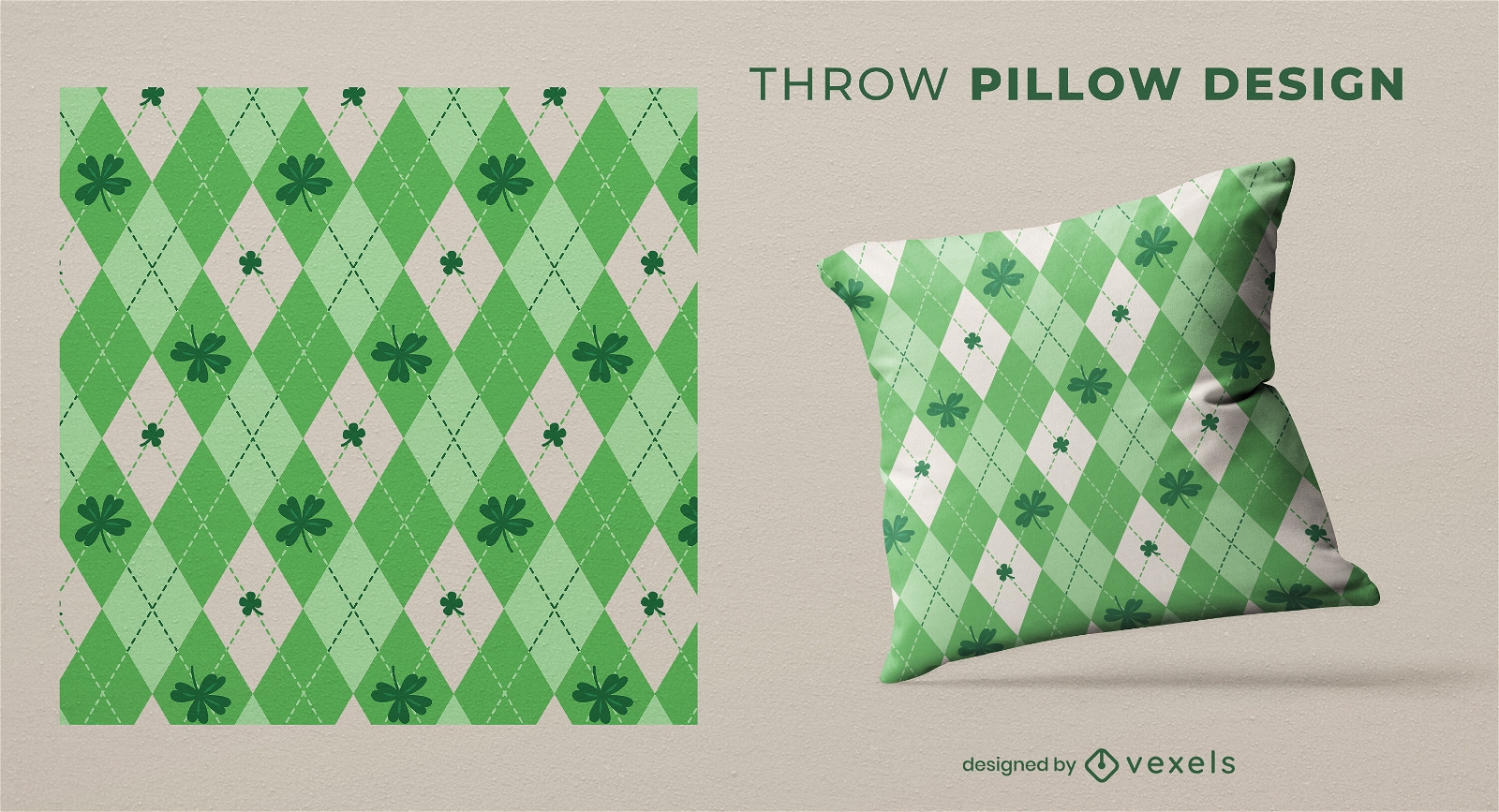
Design de almofada xadrez irlandesa St Patricks
Escolha uma pasta
Todos os favoritos
Criar novo
Salvar
Design de almofada xadrez irlandesa St Patricks
Pronto para imprimir
para Merch
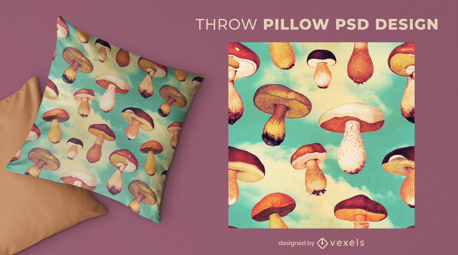
Cogumelos voando no céu almofada psd
Escolha uma pasta
Todos os favoritos
Criar novo
Salvar
Cogumelos voando no céu almofada psd
Pronto para imprimir
para Merch
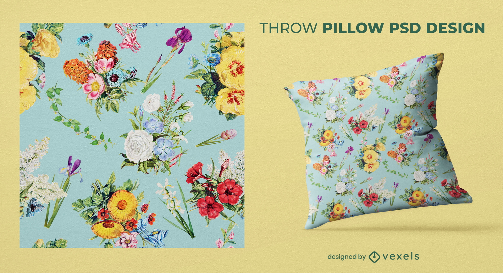
Design de almofadas vintage com padrão de flores
Escolha uma pasta
Todos os favoritos
Criar novo
Salvar
Design de almofadas vintage com padrão de flores
Pronto para imprimir
para Merch
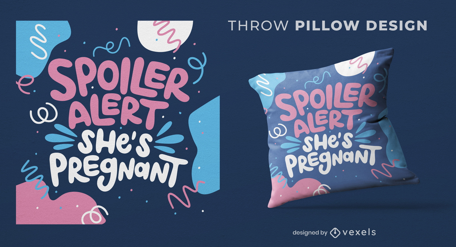
Design de almofada de lançamento de spoiler de anúncio de bebê
Escolha uma pasta
Todos os favoritos
Criar novo
Salvar
Design de almofada de lançamento de spoiler de anúncio de bebê
Impulsione seu negócio
Com a plataforma gráfica líder de mercado.
Ver planos
Próxima
do 24
prev page
next page