Biblioteca de design
Novos designs Merch
Camisetas
Vectores
Designs de Merch de Tendência
PNGs & SVGs
Mockups
Modelos de T-Shirt PSD
Explorar Desenhos
Designs KDP
Pôsteres
Canecas
Capas para celular
Sacos de compras
Almofadas
Ferramentas de desenho
Merch Designer
Novo!
Mockup Generator
Gerador de Design de AI
Vetorizador
Quote Generator
T-Shirt Maker (Antigo)
Ajuda
Merch Digest
Blog
Centro de Ajuda
Saiba mais sobre o Merch
Feedback
Soluções Corporativas
Empresa
Acesso à API
Estúdio de Design
Design em Lote
Preços
Carregando...
Inscrever-se
Conecte-se
All
amazonas
Biblioteca de design
Novos designs Merch
Camisetas
Vectores
Designs de Merch de Tendência
PNGs & SVGs
Mockups
Modelos de T-Shirt PSD
Explorar Desenhos
Designs KDP
Pôsteres
Canecas
Capas para celular
Sacos de compras
Almofadas
Ferramentas de desenho
Merch Designer
Novo!
Mockup Generator
Gerador de Design de AI
Vetorizador
Quote Generator
T-Shirt Maker (Antigo)
Ajuda
Merch Digest
Blog
Centro de Ajuda
Saiba mais sobre o Merch
Feedback
Soluções Corporativas
Empresa
Acesso à API
Estúdio de Design
Design em Lote
PLANOS
All
amazonas
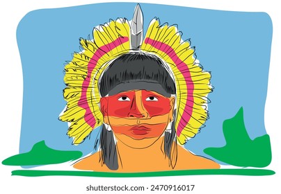
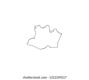
1164 Gráficos e Designs de amazonas para Camisetas e Merch print on demand
Baixar designs de camisetas e para merch, como capas de livro, capas de celular, tote bags e mais de amazonas
Relacionado:
penas amazonas
Ordenar por
Mais relevante
Resultados patrocinados da
Ganhe 15% de desconto com o código: VEXELS15
veja mais detalhes
Premium
Autocolante de crocodilo com presas de crocodilo a rir Desenho PNG
Escolha uma pasta
Todos os favoritos
Criar novo
Salvar
Autocolante de crocodilo com presas de crocodilo a rir Desenho PNG
Premium
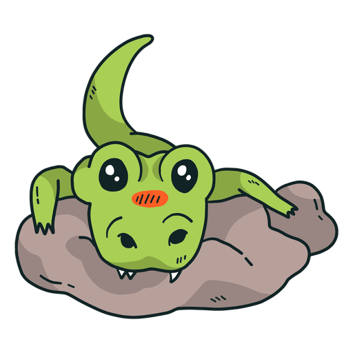
Crocodilo fofa pedra de crocodilo com cauda plana Desenho PNG
Escolha uma pasta
Todos os favoritos
Criar novo
Salvar
Crocodilo fofa pedra de crocodilo com cauda plana Desenho PNG
Pronto para imprimir
para Merch
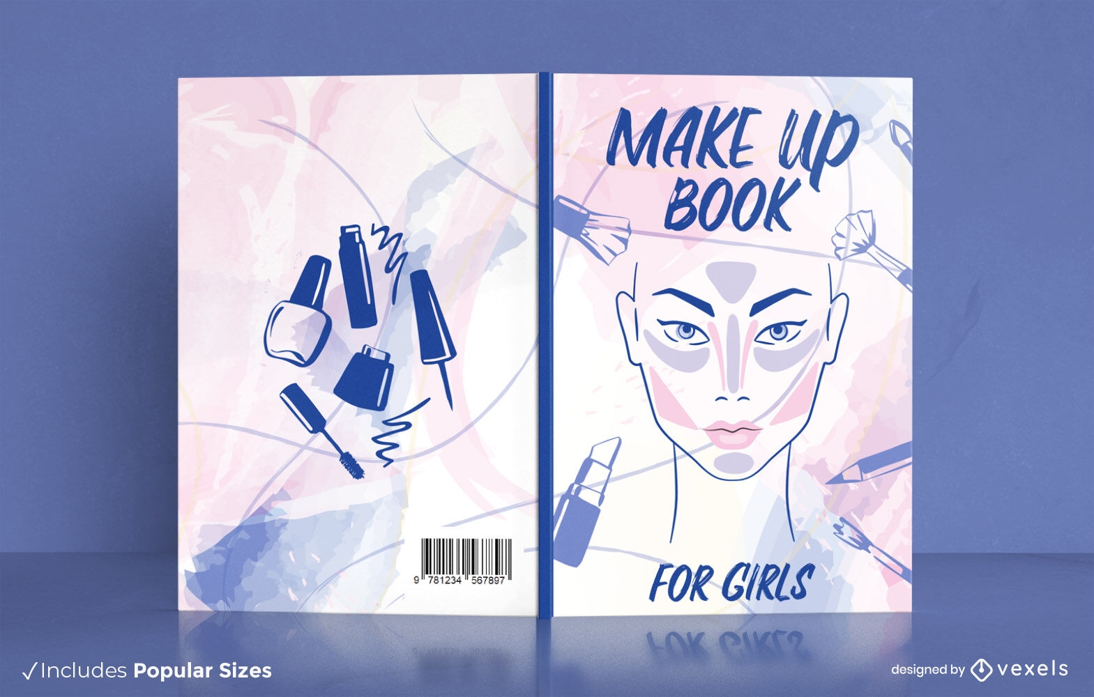
Design de capa de livro inspirado em Dungeons and Dragons
Escolha uma pasta
Todos os favoritos
Criar novo
Salvar
Design de capa de livro inspirado em Dungeons and Dragons
texto editável
Pronto para imprimir
para Merch
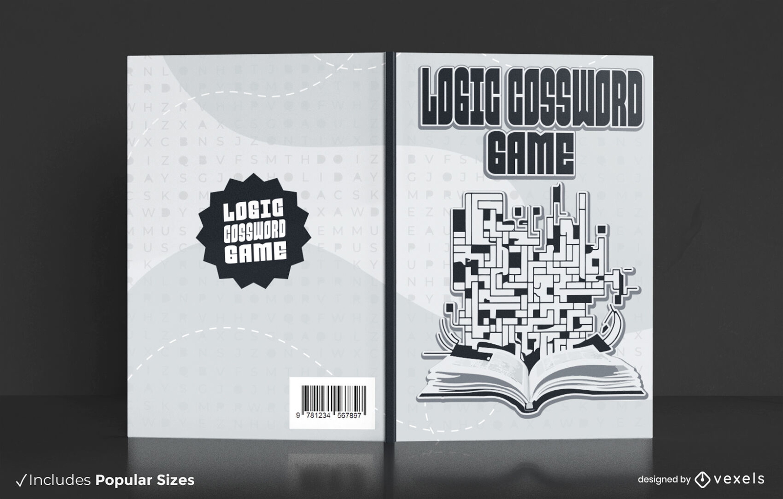
Design de capa de livro de palavras cruzadas de lógica
Escolha uma pasta
Todos os favoritos
Criar novo
Salvar
Design de capa de livro de palavras cruzadas de lógica
texto editável
Pronto para imprimir
para Merch
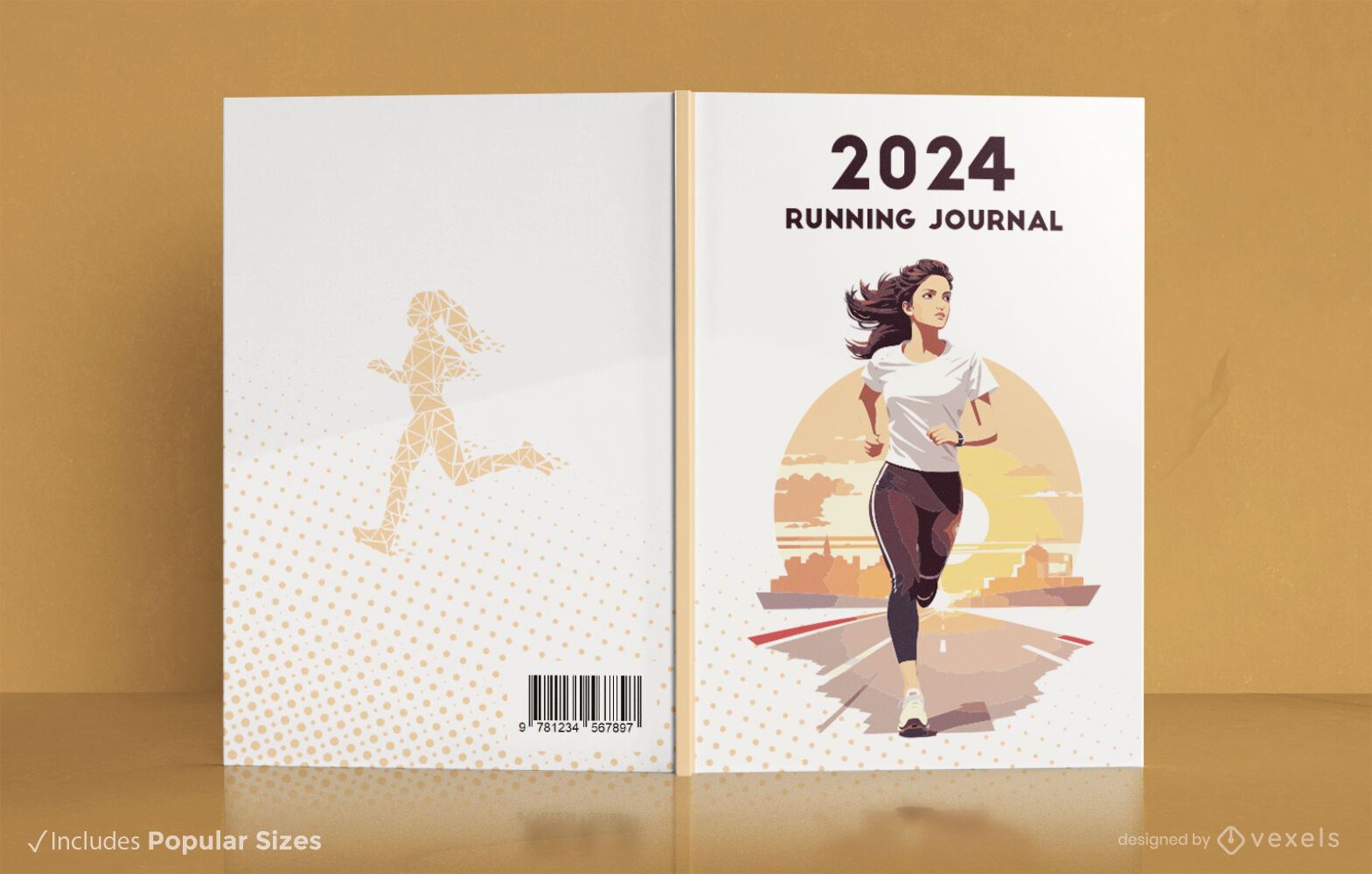
Design da capa do livro do diário Runner's 2024
Escolha uma pasta
Todos os favoritos
Criar novo
Salvar
Design da capa do livro do diário Runner's 2024
Pronto para imprimir
para Merch
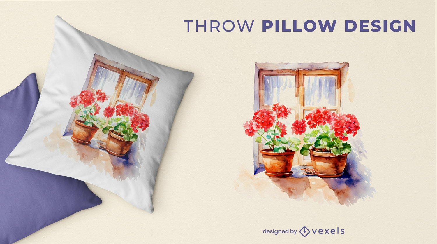
Design de almofadas de flores na janela
Escolha uma pasta
Todos os favoritos
Criar novo
Salvar
Design de almofadas de flores na janela
texto editável
Pronto para imprimir
para Merch
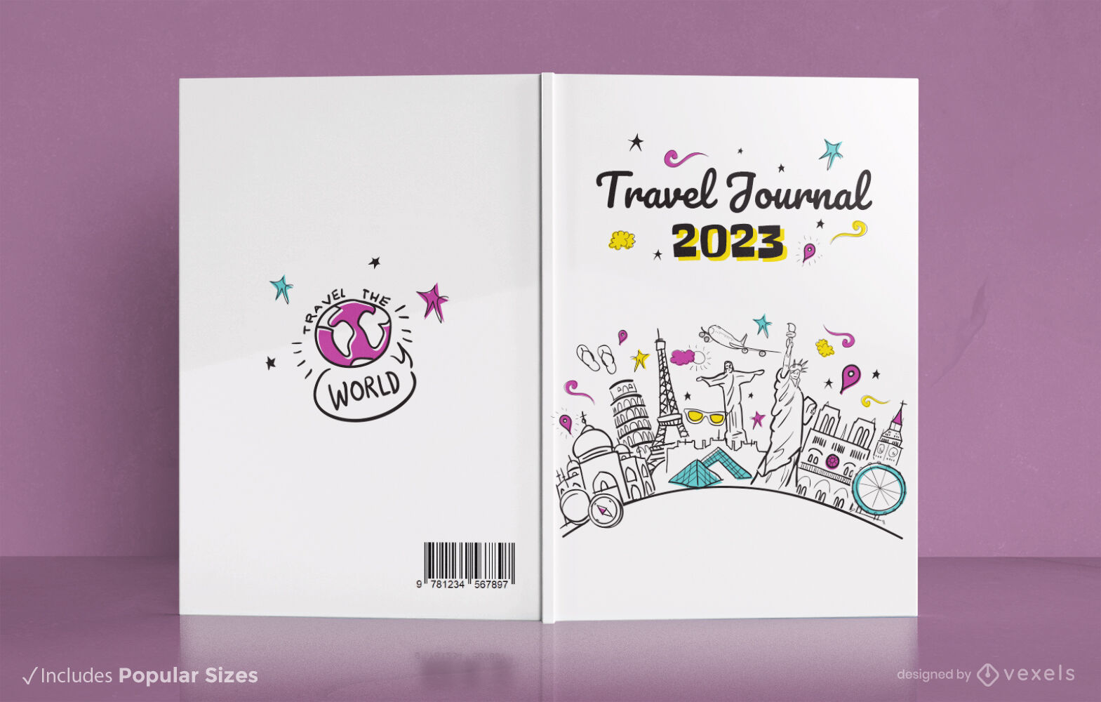
Design de capa de livro de diário de viagem KDP
Escolha uma pasta
Todos os favoritos
Criar novo
Salvar
Design de capa de livro de diário de viagem KDP
Pronto para imprimir
para Merch
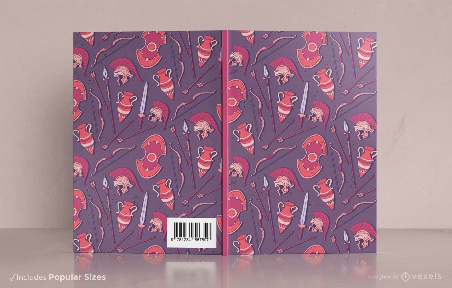
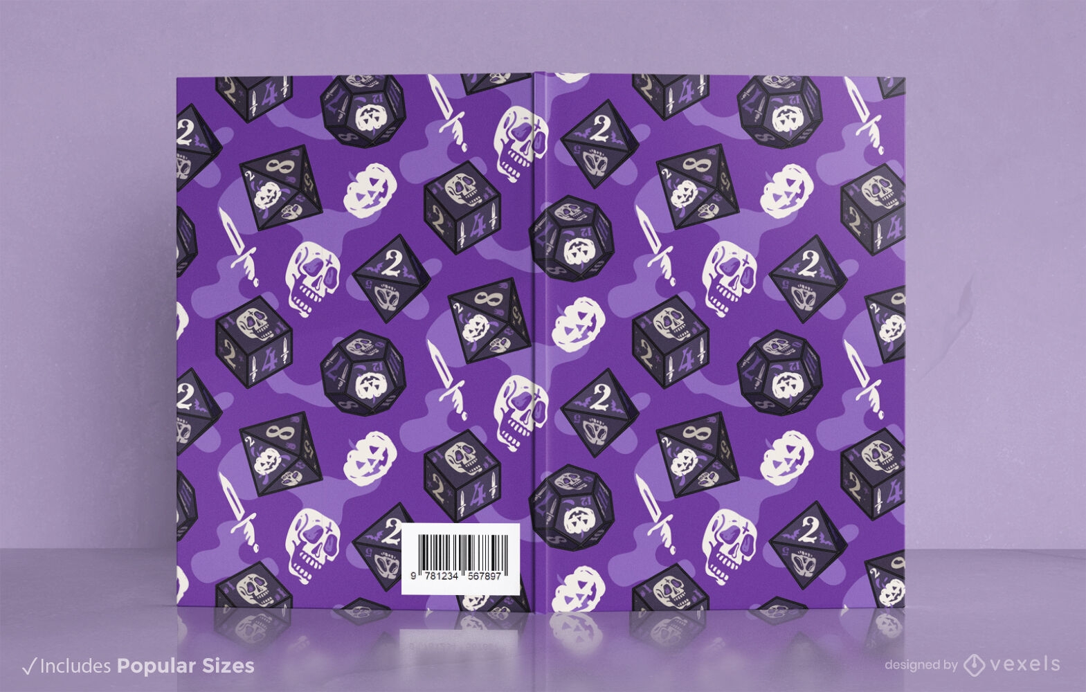
Jogo de RPG roxo com design de capa de livro de dados
Escolha uma pasta
Todos os favoritos
Criar novo
Salvar
Jogo de RPG roxo com design de capa de livro de dados
texto editável
Pronto para imprimir
para Merch
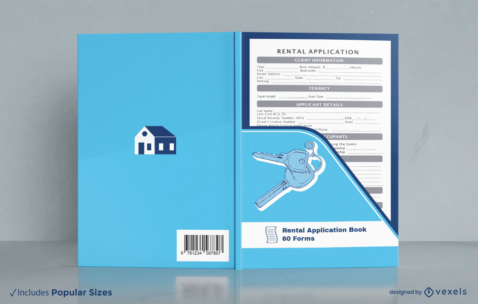
Formulários de solicitação de aluguel design de capa de livro KDP
Escolha uma pasta
Todos os favoritos
Criar novo
Salvar
Formulários de solicitação de aluguel design de capa de livro KDP
texto editável
Pronto para imprimir
para Merch
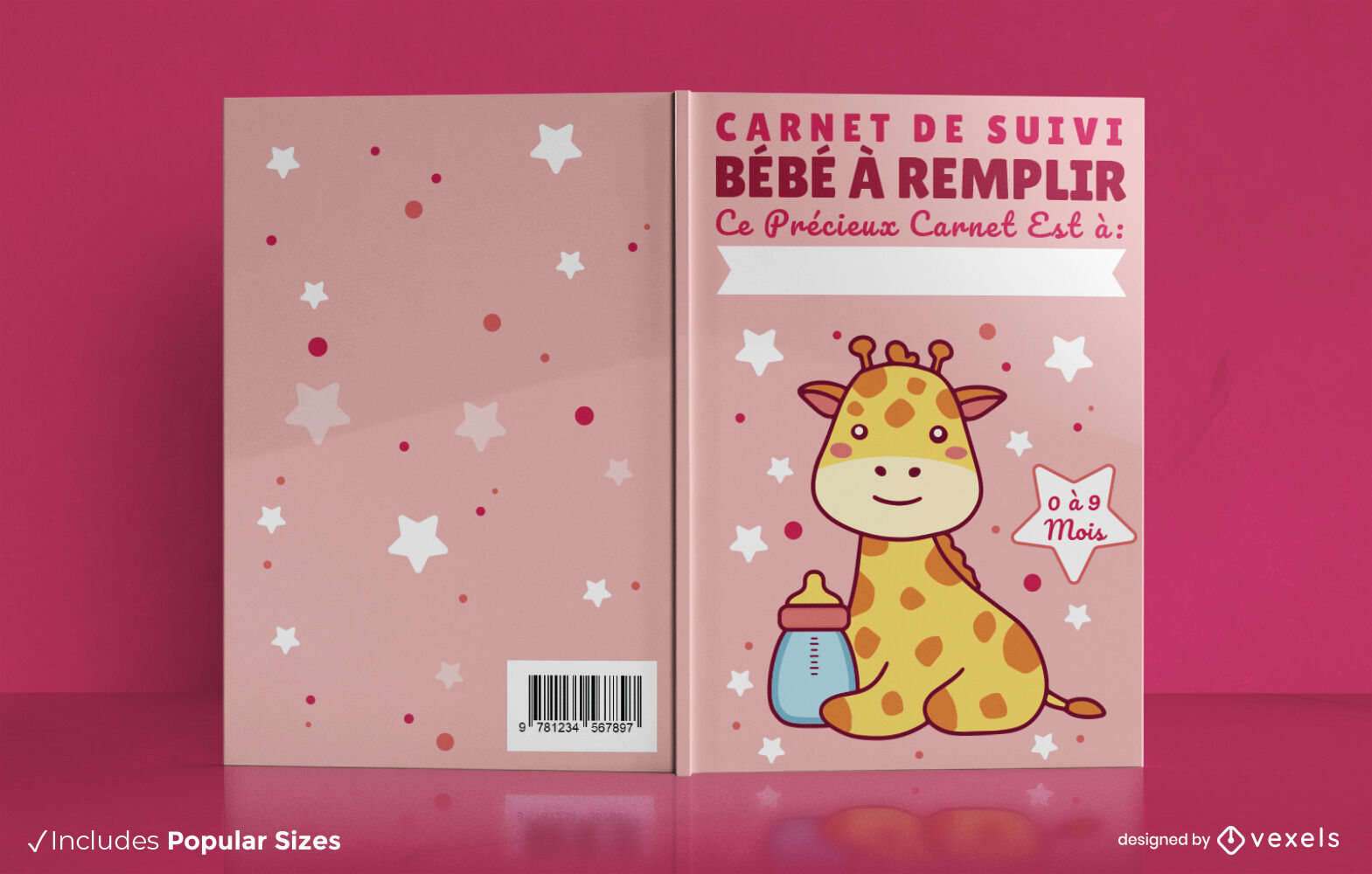
Design de capa de livro de girafa bebê fofo
Escolha uma pasta
Todos os favoritos
Criar novo
Salvar
Design de capa de livro de girafa bebê fofo
texto editável
Pronto para imprimir
para Merch
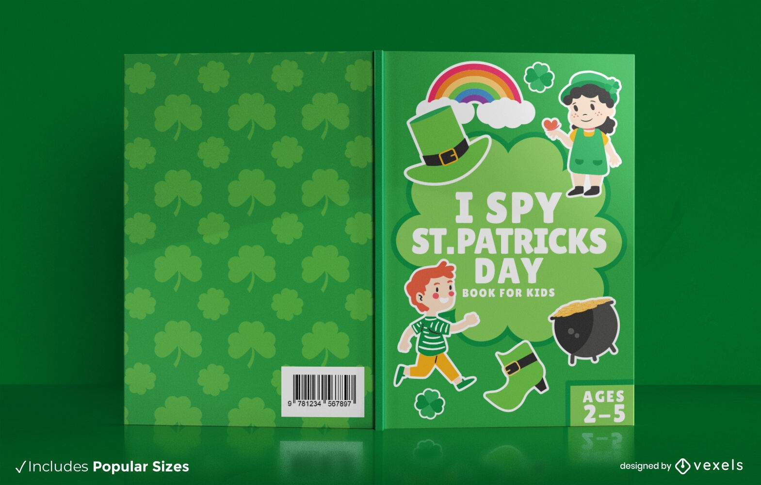
Design de capa de livro infantil St. Patricks KDP
Escolha uma pasta
Todos os favoritos
Criar novo
Salvar
Design de capa de livro infantil St. Patricks KDP
texto editável
Pronto para imprimir
para Merch
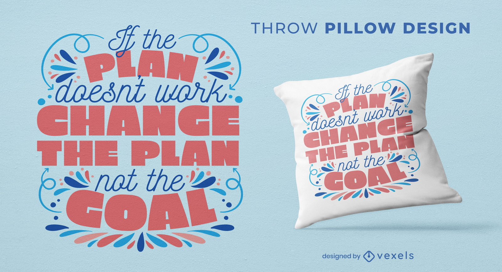
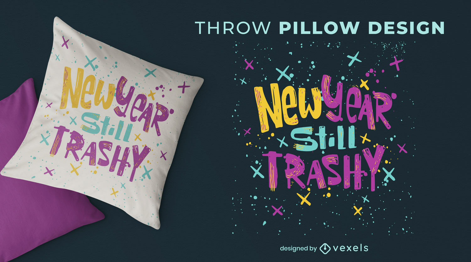
Projeto de almofada de lance de citação de plano e meta
Escolha uma pasta
Todos os favoritos
Criar novo
Salvar
Projeto de almofada de lance de citação de plano e meta
Pronto para imprimir
para Merch
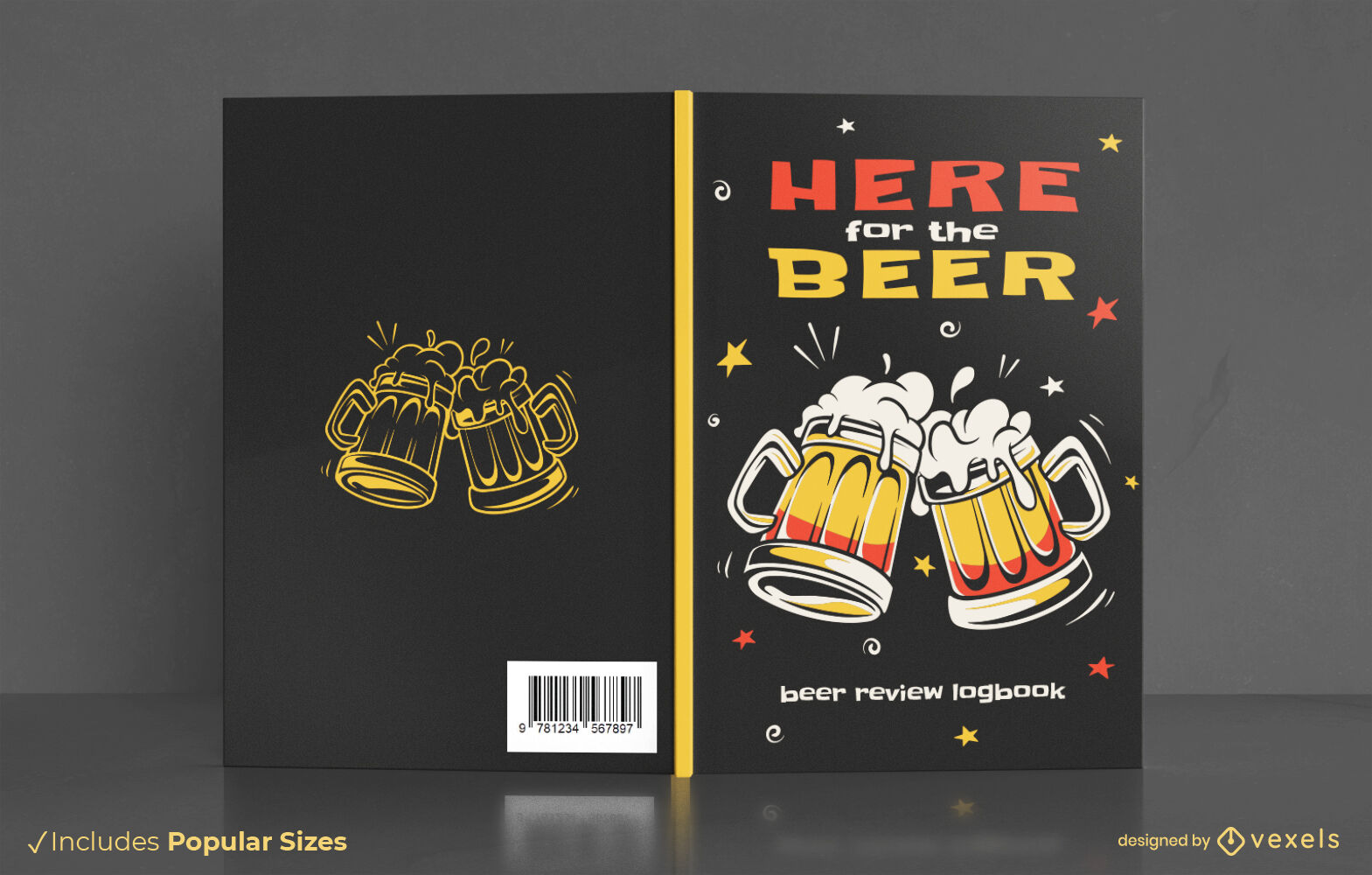
Design de capa de livro de bebidas alcoólicas de cerveja
Escolha uma pasta
Todos os favoritos
Criar novo
Salvar
Design de capa de livro de bebidas alcoólicas de cerveja
texto editável
Pronto para imprimir
para Merch
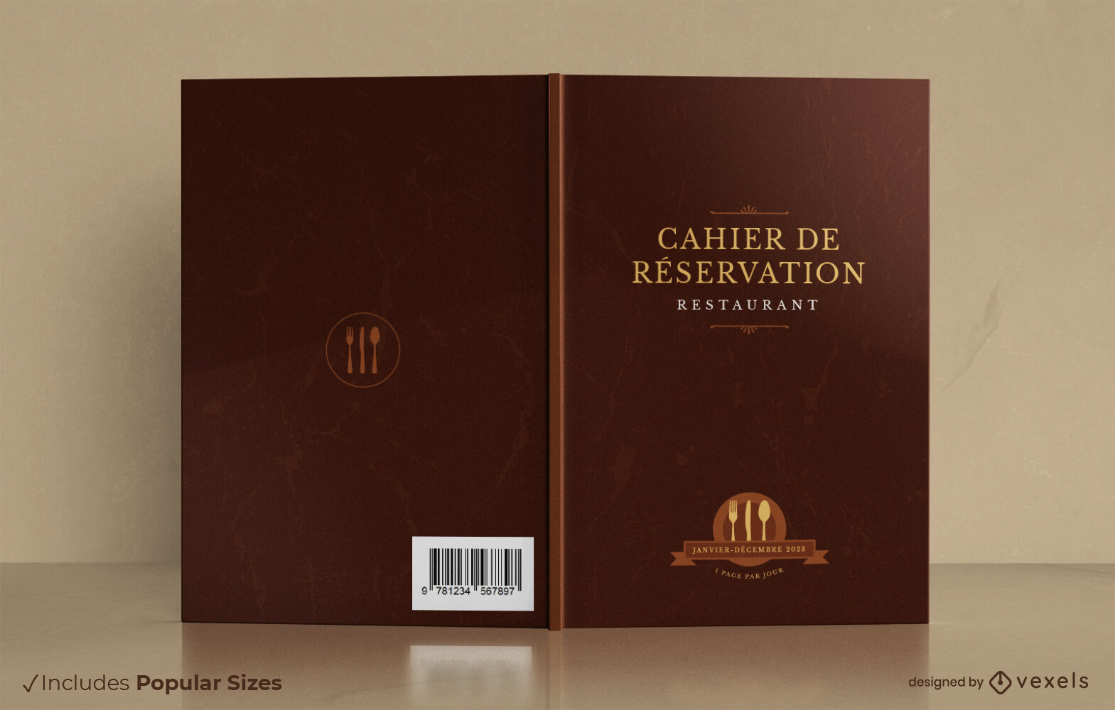
Design de capa de livro de reserva de restaurante francês
Escolha uma pasta
Todos os favoritos
Criar novo
Salvar
Design de capa de livro de reserva de restaurante francês
Pronto para imprimir
Premium
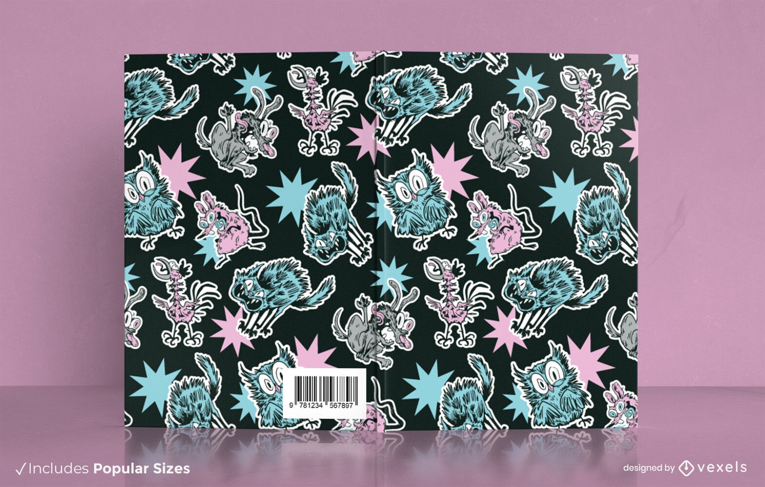
Design de capa de livro de animais bizarros
Escolha uma pasta
Todos os favoritos
Criar novo
Salvar
Design de capa de livro de animais bizarros
texto editável
Pronto para imprimir
Premium
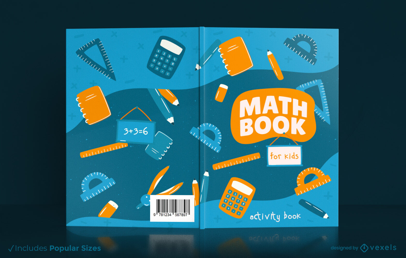
Livro de matemática para design de capa infantil
Escolha uma pasta
Todos os favoritos
Criar novo
Salvar
Livro de matemática para design de capa infantil
texto editável
Pronto para imprimir
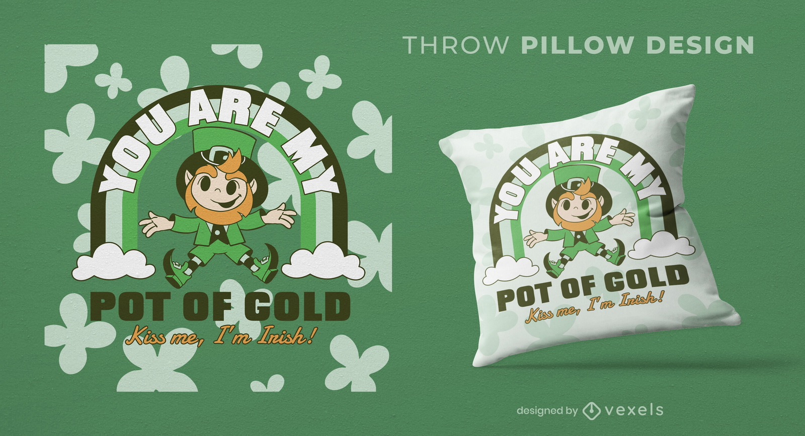
Design de almofada decorativa de férias irlandesas de duende
Escolha uma pasta
Todos os favoritos
Criar novo
Salvar
Design de almofada decorativa de férias irlandesas de duende
texto editável
Pronto para imprimir
para Merch
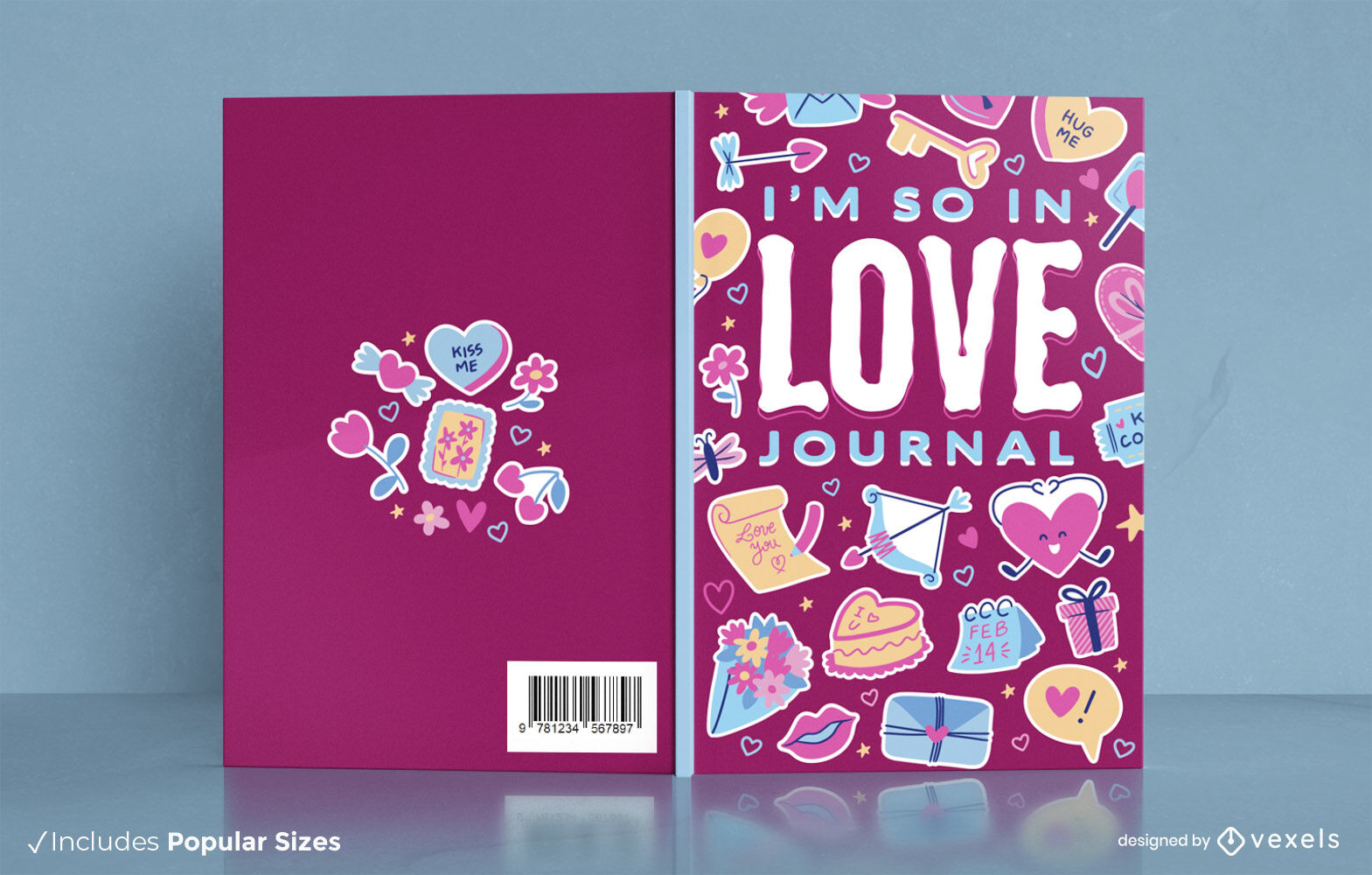
Design de capa de livro de desenho animado de diário de amor
Escolha uma pasta
Todos os favoritos
Criar novo
Salvar
Design de capa de livro de desenho animado de diário de amor
texto editável
Pronto para imprimir
para Merch
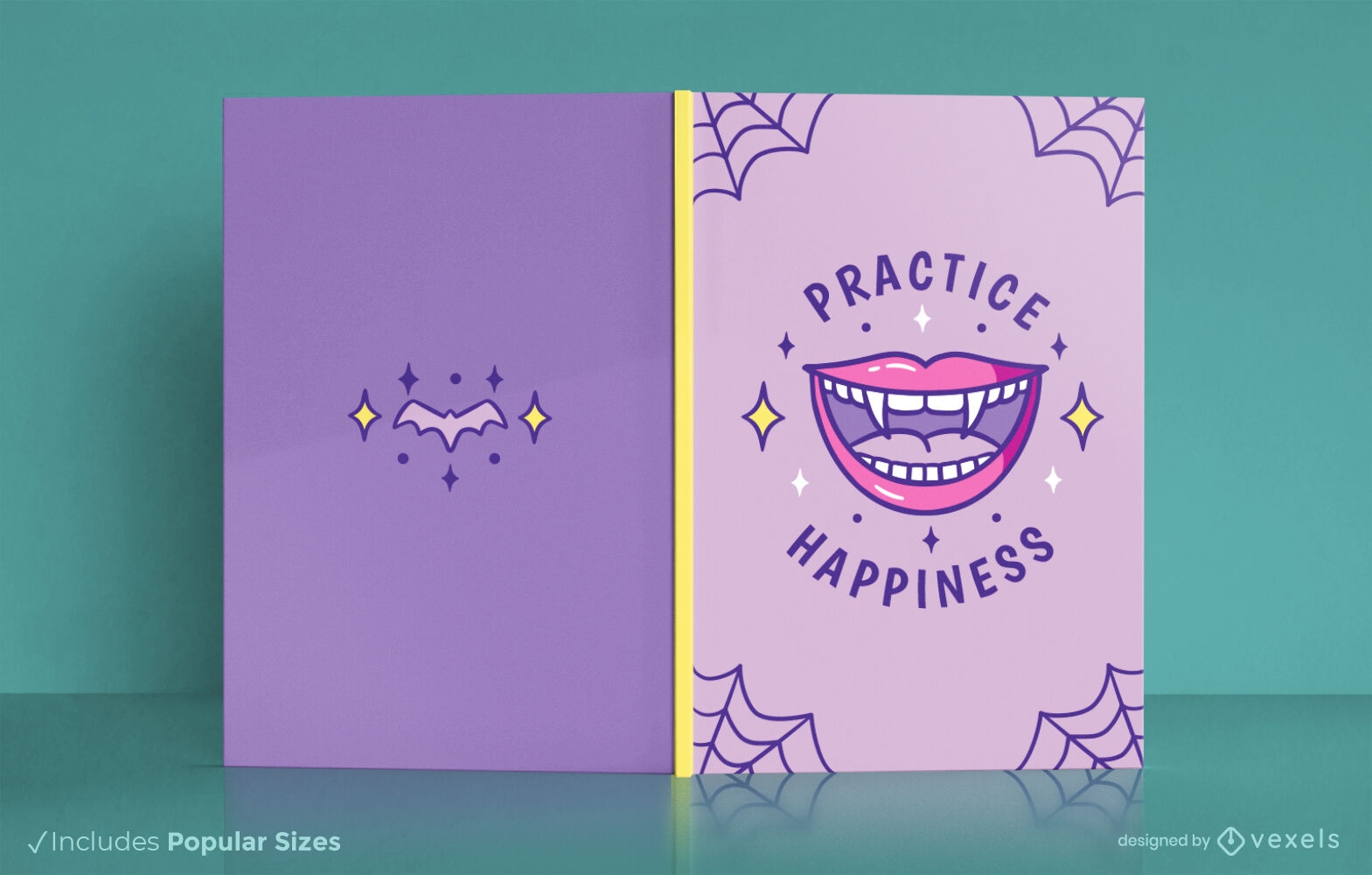
Boca de vampiro sorrindo design de capa de livro
Escolha uma pasta
Todos os favoritos
Criar novo
Salvar
Boca de vampiro sorrindo design de capa de livro
Pronto para imprimir
para Merch
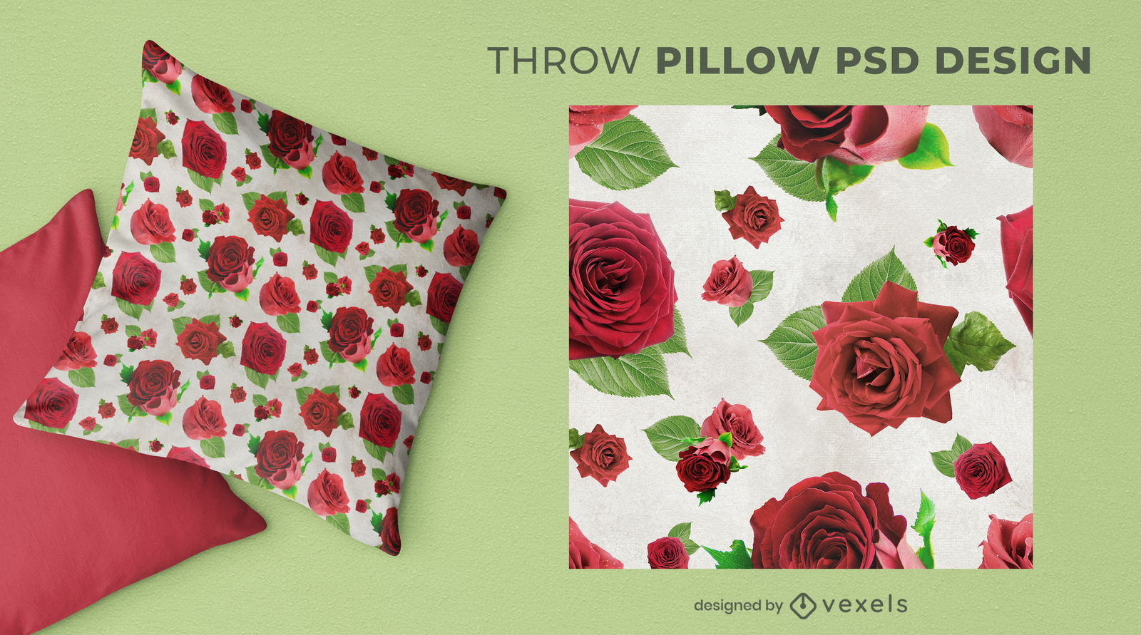
Design de almofadas com padrão de flores rosas
Escolha uma pasta
Todos os favoritos
Criar novo
Salvar
Design de almofadas com padrão de flores rosas
Pronto para imprimir
para Merch
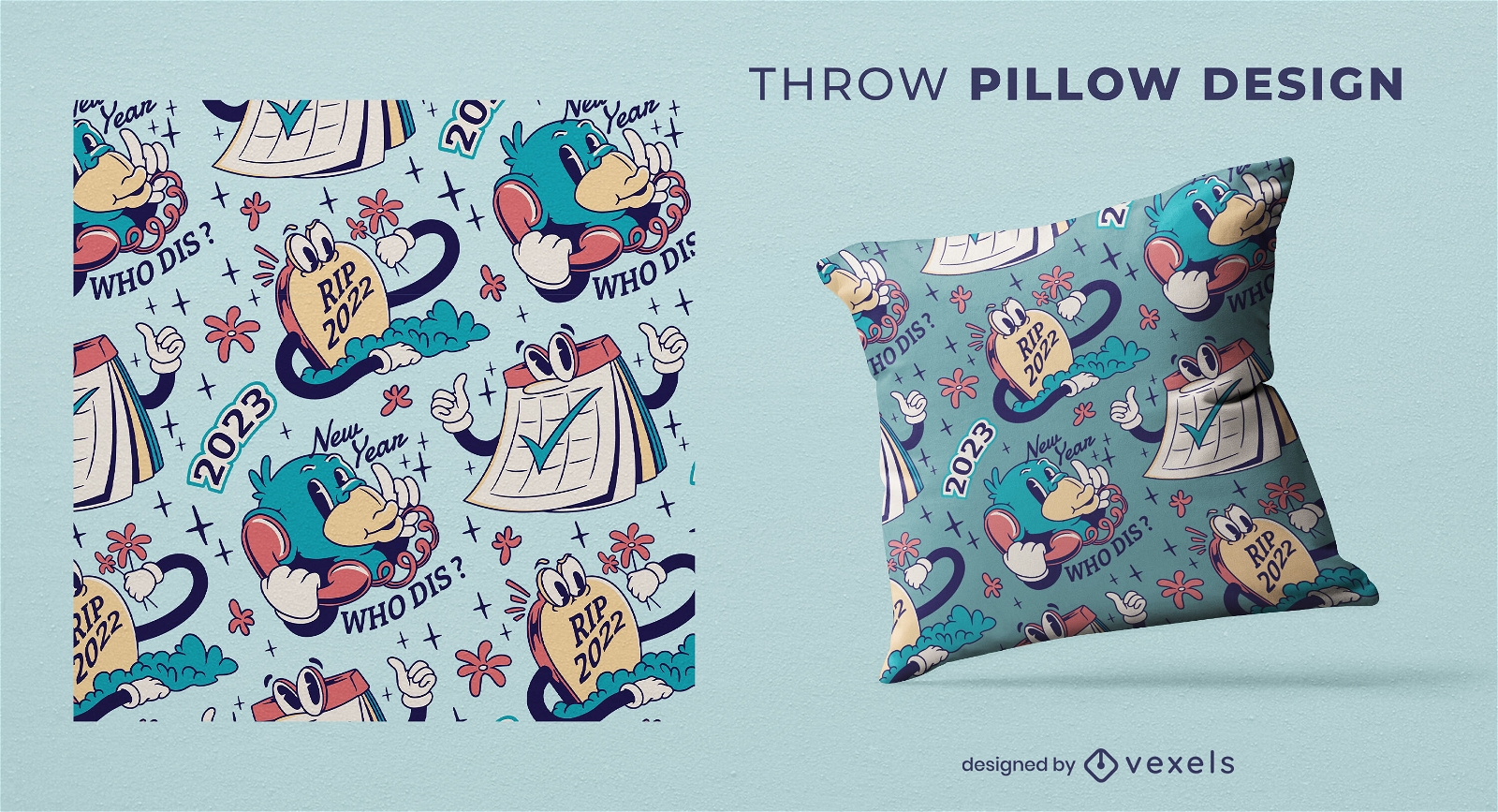
Design de almofadas de desenho animado de ano novo
Escolha uma pasta
Todos os favoritos
Criar novo
Salvar
Design de almofadas de desenho animado de ano novo
texto editável
Pronto para imprimir
para Merch
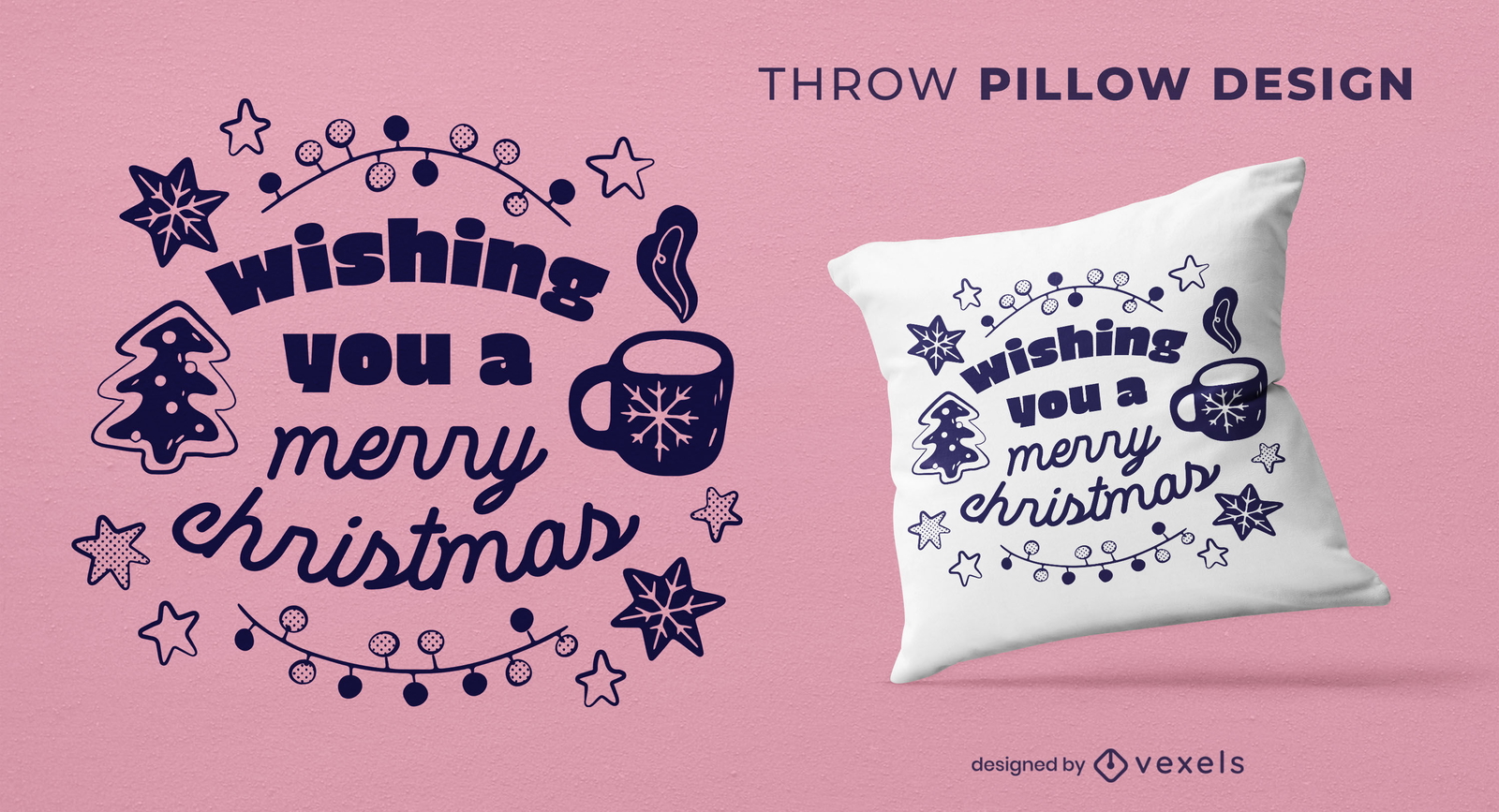
Citação de férias de natal design de almofada
Escolha uma pasta
Todos os favoritos
Criar novo
Salvar
Citação de férias de natal design de almofada
Pronto para imprimir
para Merch
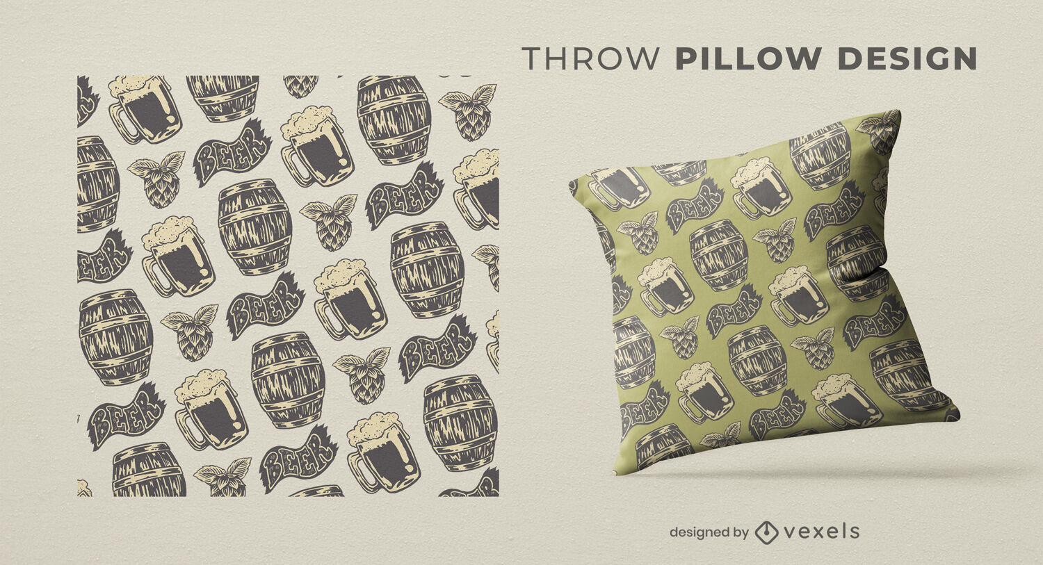
Design de almofada rústica de cerveja
Escolha uma pasta
Todos os favoritos
Criar novo
Salvar
Design de almofada rústica de cerveja
Pronto para imprimir
para Merch
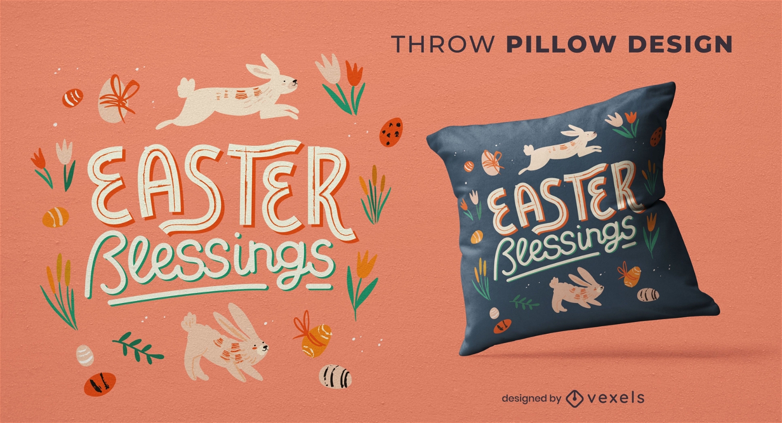
Design de travesseiro com bênçãos de Páscoa
Escolha uma pasta
Todos os favoritos
Criar novo
Salvar
Design de travesseiro com bênçãos de Páscoa
Pronto para imprimir
para Merch
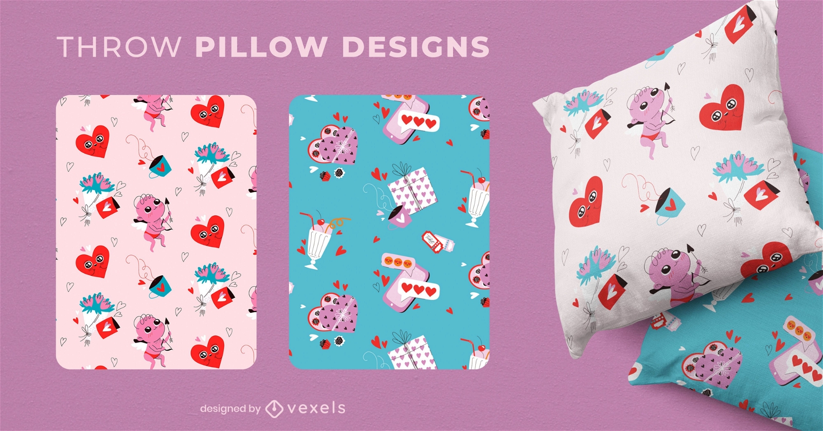
Desenhos de almofadas para o dia dos namorados
Escolha uma pasta
Todos os favoritos
Criar novo
Salvar
Desenhos de almofadas para o dia dos namorados
Premium
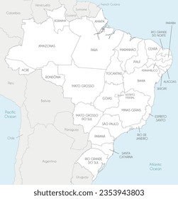
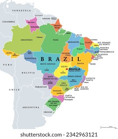
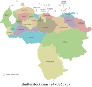
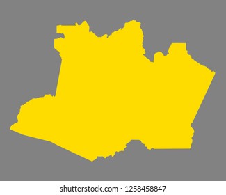
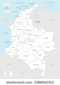
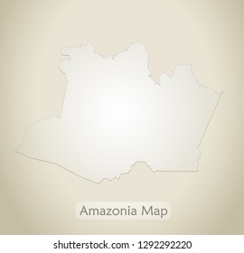
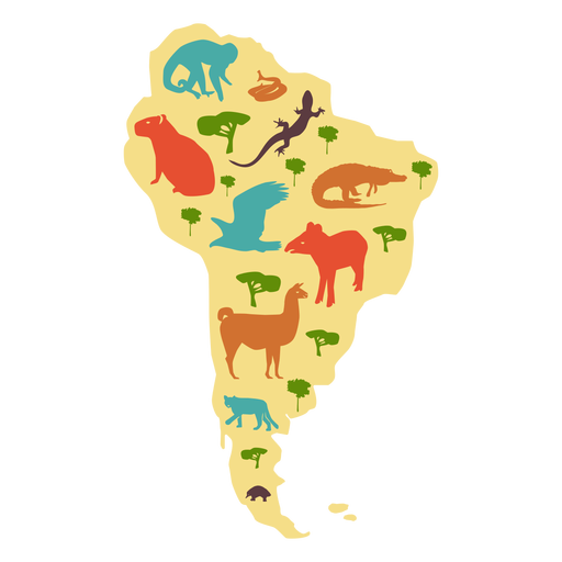
Mapa ilustrado da américa do sul Desenho PNG
Escolha uma pasta
Todos os favoritos
Criar novo
Salvar
Mapa ilustrado da américa do sul Desenho PNG
Premium
Cauda de crocodilo de crocodilo com presas achatadas Desenho PNG
Escolha uma pasta
Todos os favoritos
Criar novo
Salvar
Cauda de crocodilo de crocodilo com presas achatadas Desenho PNG
Premium
Desenho de cauda de presa de crocodilo de crocodilo Desenho PNG
Escolha uma pasta
Todos os favoritos
Criar novo
Salvar
Desenho de cauda de presa de crocodilo de crocodilo Desenho PNG
Premium
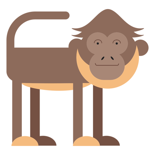
Ilustração do macaco aranha Desenho PNG
Escolha uma pasta
Todos os favoritos
Criar novo
Salvar
Ilustração do macaco aranha Desenho PNG
texto editável
Pronto para imprimir
para Merch
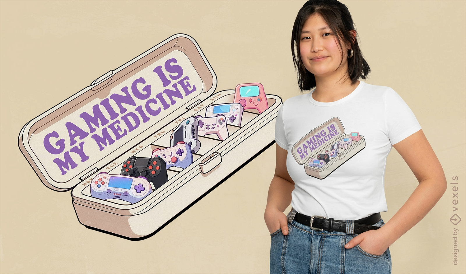
Design de camiseta para medicina para jogos
Escolha uma pasta
Todos os favoritos
Criar novo
Salvar
Design de camiseta para medicina para jogos
Capa do Livro
para Merch
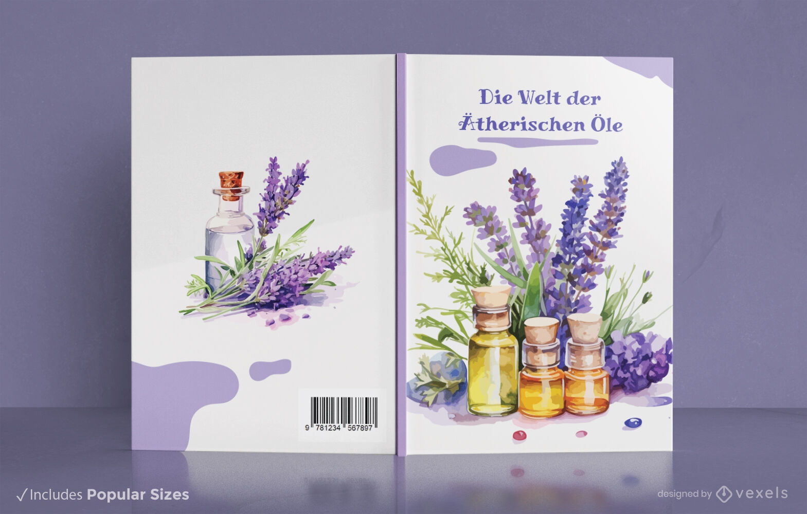
Design de capa de livro de aromaterapia
Escolha uma pasta
Todos os favoritos
Criar novo
Salvar
Design de capa de livro de aromaterapia
texto editável
Pronto para imprimir
para Merch
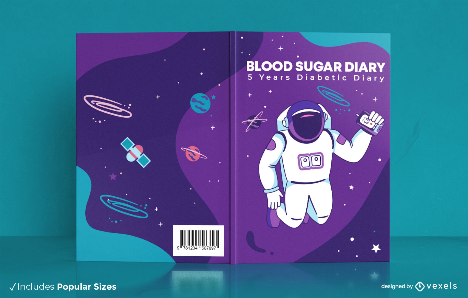
Astronauta flutuando no design da capa do livro espacial
Escolha uma pasta
Todos os favoritos
Criar novo
Salvar
Astronauta flutuando no design da capa do livro espacial
texto editável
Pronto para imprimir
para Merch
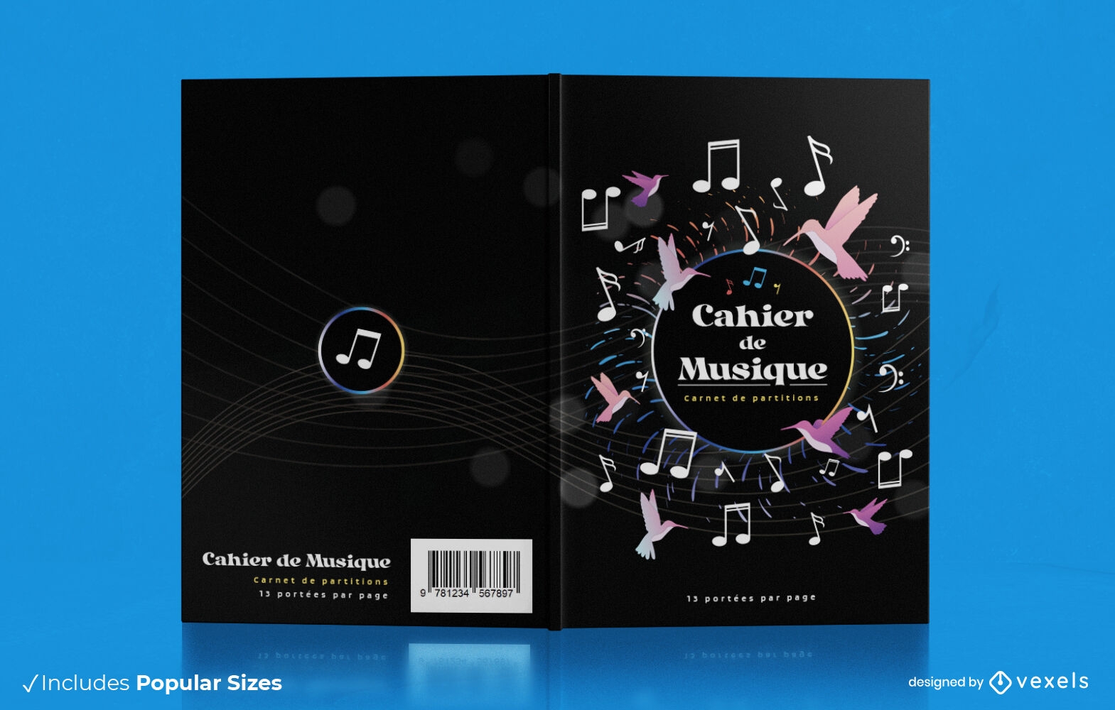
Design de capa de livro de passatempo de notas musicais
Escolha uma pasta
Todos os favoritos
Criar novo
Salvar
Design de capa de livro de passatempo de notas musicais
texto editável
Pronto para imprimir
para Merch
Design de capa de livro de segurança de bombeiro
Escolha uma pasta
Todos os favoritos
Criar novo
Salvar
Design de capa de livro de segurança de bombeiro
texto editável
Pronto para imprimir
para Merch
Design de capa de livro de arte de hobby
Escolha uma pasta
Todos os favoritos
Criar novo
Salvar
Design de capa de livro de arte de hobby
texto editável
Pronto para imprimir
para Merch
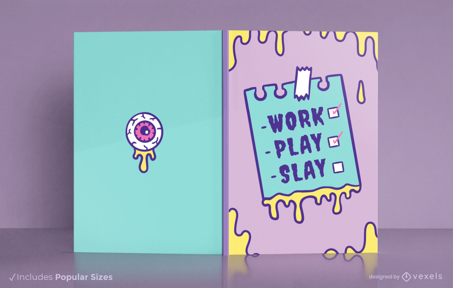
Design de capa de livro de cronograma de monstro assustador
Escolha uma pasta
Todos os favoritos
Criar novo
Salvar
Design de capa de livro de cronograma de monstro assustador
Pronto para imprimir
para Merch
Anti design de almofada de celebração de ano novo
Escolha uma pasta
Todos os favoritos
Criar novo
Salvar
Anti design de almofada de celebração de ano novo
Pronto para imprimir
para Merch
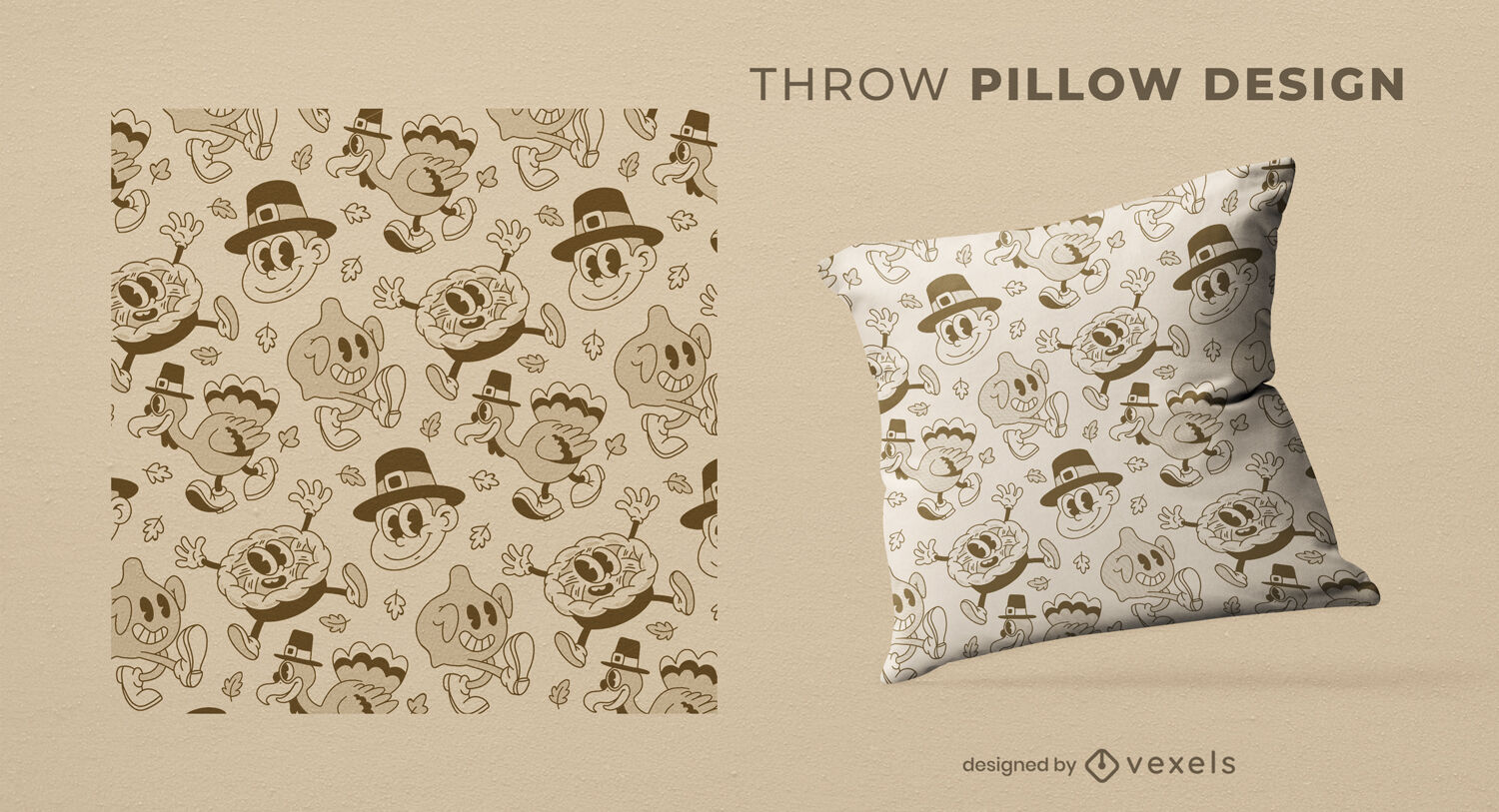
Design de almofada de arremesso de desenhos animados retrô de ação de Graças
Escolha uma pasta
Todos os favoritos
Criar novo
Salvar
Design de almofada de arremesso de desenhos animados retrô de ação de Graças
Pronto para imprimir
para Merch
Design de travesseiro decorativo de ícones de cerveja Oktoberfest
Escolha uma pasta
Todos os favoritos
Criar novo
Salvar
Design de travesseiro decorativo de ícones de cerveja Oktoberfest
Pronto para imprimir
para Merch
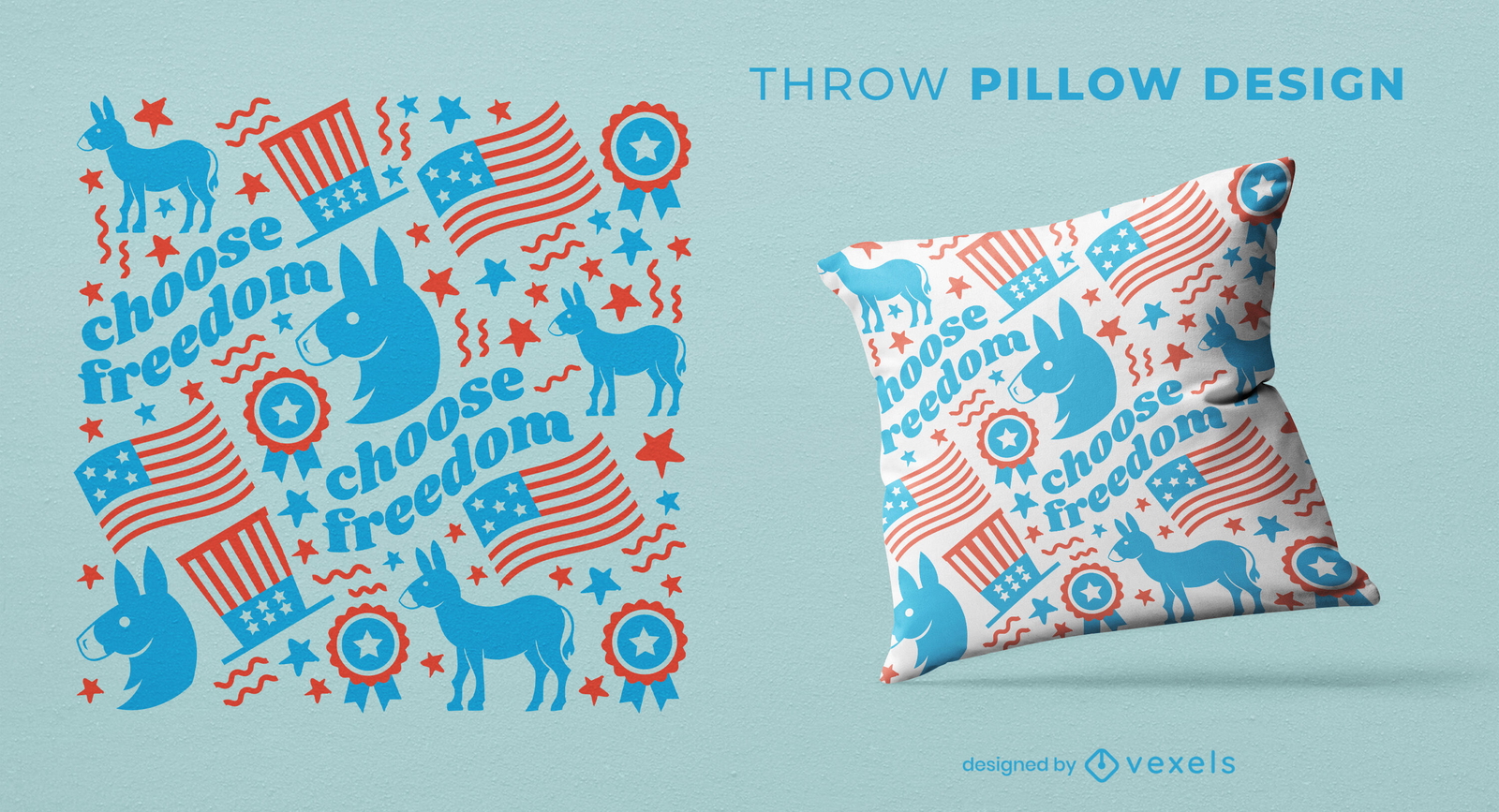
Design de almofada de lance padrão de burro democratas
Escolha uma pasta
Todos os favoritos
Criar novo
Salvar
Design de almofada de lance padrão de burro democratas
Pronto para imprimir
para Merch
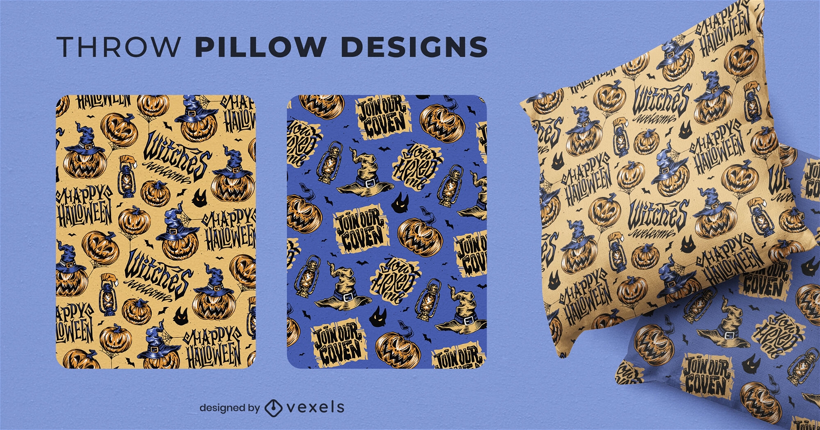
Design de almofadas de Halloween jack o lanternas
Escolha uma pasta
Todos os favoritos
Criar novo
Salvar
Design de almofadas de Halloween jack o lanternas
Pronto para imprimir
para Merch
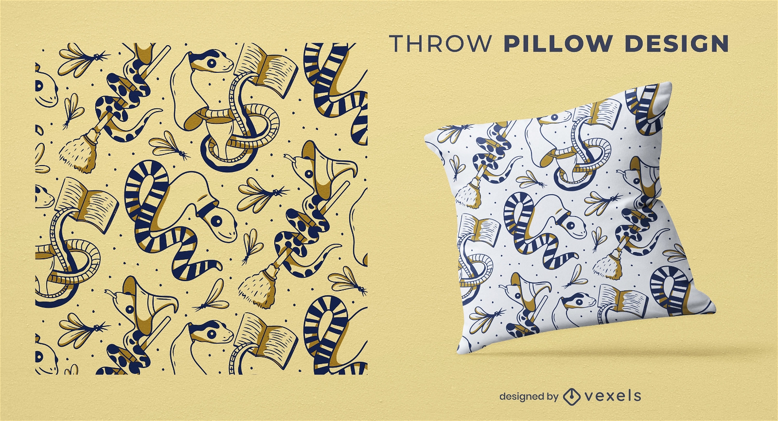
Design de almofada de arremesso de feiticeiro de cobra bonito
Escolha uma pasta
Todos os favoritos
Criar novo
Salvar
Design de almofada de arremesso de feiticeiro de cobra bonito
texto editável
Pronto para imprimir
para Merch
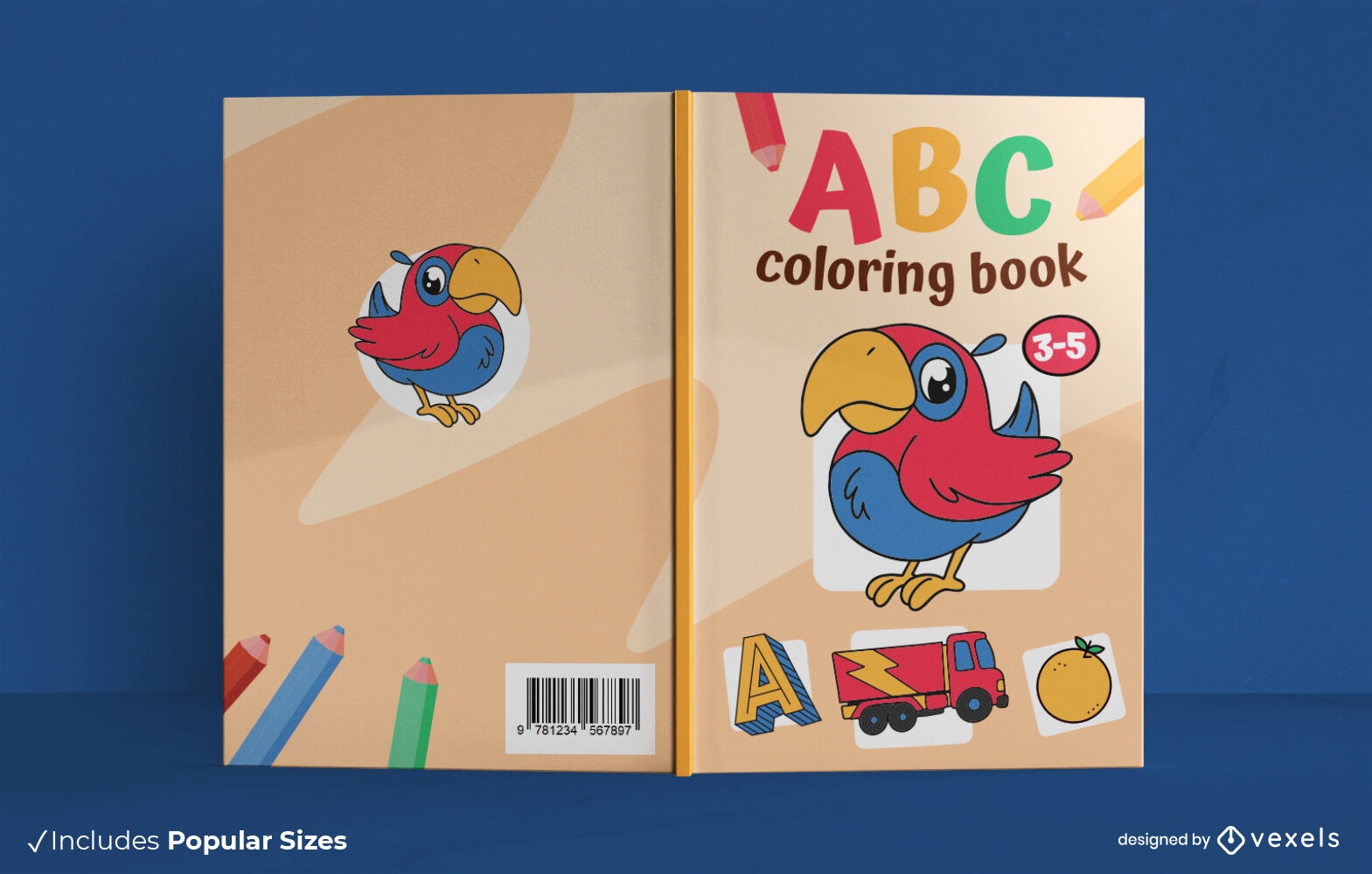
Design da capa do livro para colorir ABC
Escolha uma pasta
Todos os favoritos
Criar novo
Salvar
Design da capa do livro para colorir ABC
texto editável
Pronto para imprimir
para Merch
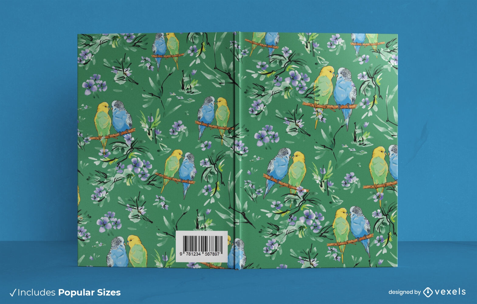
Design floral da capa do livro periquitos
Escolha uma pasta
Todos os favoritos
Criar novo
Salvar
Design floral da capa do livro periquitos
Pronto para imprimir
para Merch
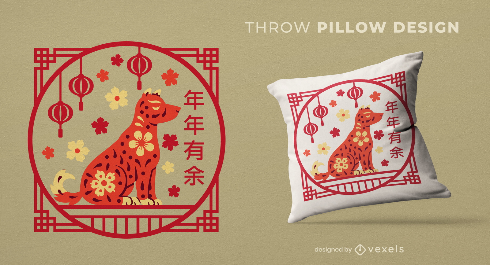
Design de almofada para comemoração de cachorro no Ano Novo Chinês
Escolha uma pasta
Todos os favoritos
Criar novo
Salvar
Design de almofada para comemoração de cachorro no Ano Novo Chinês
Pronto para imprimir
para Merch
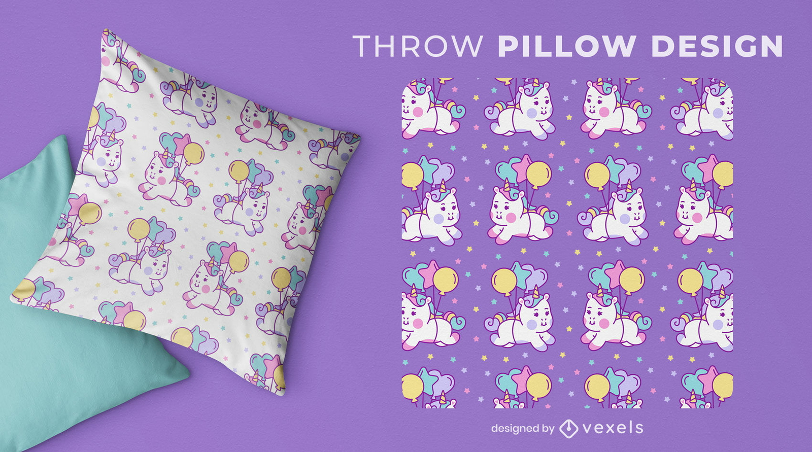
Design extravagante de almofada de unicórnio
Escolha uma pasta
Todos os favoritos
Criar novo
Salvar
Design extravagante de almofada de unicórnio
Pronto para imprimir
para Merch
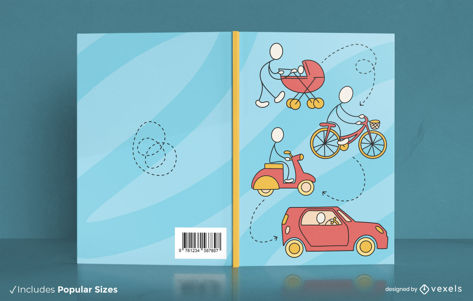
Design de capa de livro de evolução de transporte
Escolha uma pasta
Todos os favoritos
Criar novo
Salvar
Design de capa de livro de evolução de transporte
texto editável
Pronto para imprimir
para Merch
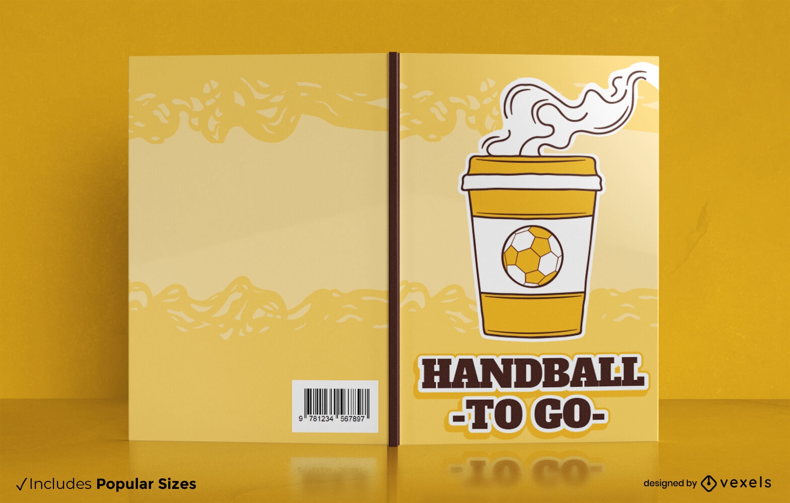
Design de capa de livro de handebol para ir
Escolha uma pasta
Todos os favoritos
Criar novo
Salvar
Design de capa de livro de handebol para ir
texto editável
Pronto para imprimir
para Merch
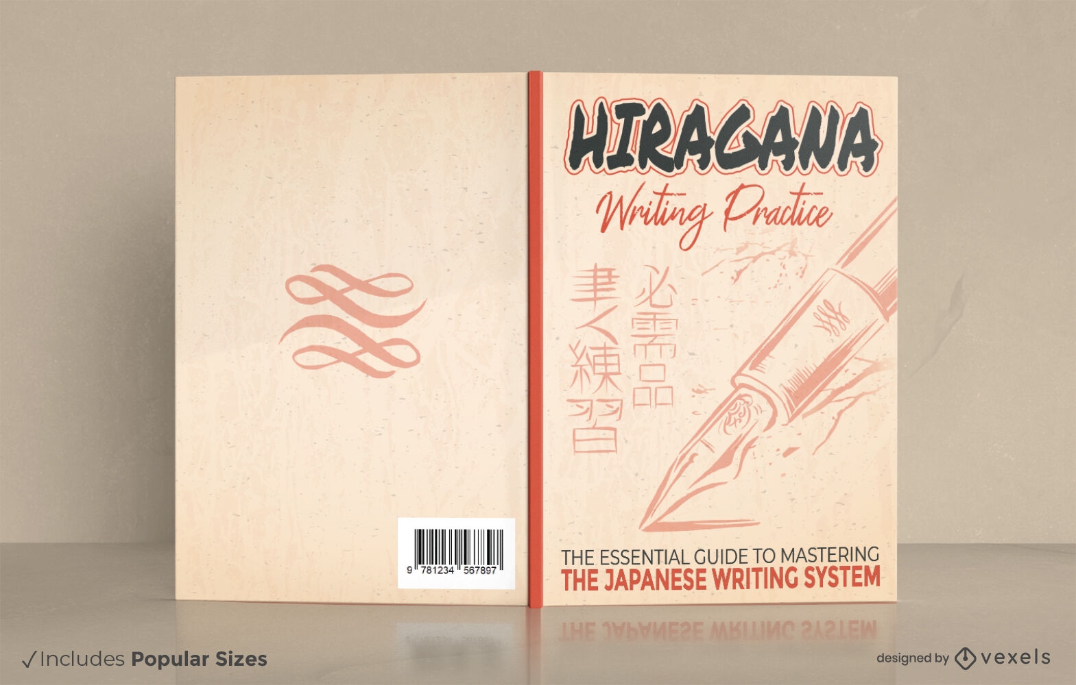
Design de capa de livro de escrita japonesa hiragana
Escolha uma pasta
Todos os favoritos
Criar novo
Salvar
Design de capa de livro de escrita japonesa hiragana
Premium
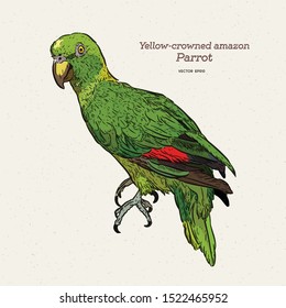
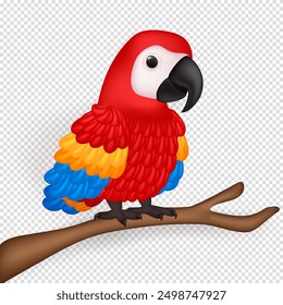
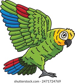
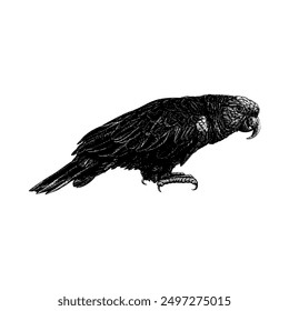
Papagaio pousando em uma árvore Desenho PNG
Escolha uma pasta
Todos os favoritos
Criar novo
Salvar
Papagaio pousando em uma árvore Desenho PNG
Impulsione seu negócio
Com a plataforma gráfica líder de mercado.
Ver planos
Próxima
do 24
prev page
next page