Biblioteca de design
Novos designs Merch
Camisetas
Vectores
Designs de Merch de Tendência
PNGs & SVGs
Mockups
Modelos de T-Shirt PSD
Explorar Desenhos
Designs KDP
Pôsteres
Canecas
Capas para celular
Sacos de compras
Almofadas
Ferramentas de desenho
Merch Designer
Novo!
Mockup Generator
Gerador de Design de AI
Vetorizador
Quote Generator
T-Shirt Maker (Antigo)
Ajuda
Merch Digest
Blog
Centro de Ajuda
Saiba mais sobre o Merch
Feedback
Soluções Corporativas
Empresa
Acesso à API
Estúdio de Design
Design em Lote
Preços
Carregando...
Inscrever-se
Conecte-se
All
country
Biblioteca de design
Novos designs Merch
Camisetas
Vectores
Designs de Merch de Tendência
PNGs & SVGs
Mockups
Modelos de T-Shirt PSD
Explorar Desenhos
Designs KDP
Pôsteres
Canecas
Capas para celular
Sacos de compras
Almofadas
Ferramentas de desenho
Merch Designer
Novo!
Mockup Generator
Gerador de Design de AI
Vetorizador
Quote Generator
T-Shirt Maker (Antigo)
Ajuda
Merch Digest
Blog
Centro de Ajuda
Saiba mais sobre o Merch
Feedback
Soluções Corporativas
Empresa
Acesso à API
Estúdio de Design
Design em Lote
PLANOS
All
country
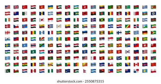
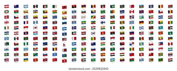
3024 Gráficos e Designs de country para Camisetas e Merch print on demand
Baixar designs de camisetas e para merch, como capas de livro, capas de celular, tote bags e mais de country
Relacionado:
musica country
,
equipe de cross country
,
pais
Ordenar por
Mais relevante
Resultados patrocinados da
Ganhe 15% de desconto com o código: VEXELS15
veja mais detalhes
Premium
Bandeira do coração de cuba Desenho PNG
Escolha uma pasta
Todos os favoritos
Criar novo
Salvar
Bandeira do coração de cuba Desenho PNG
Premium
Bandeira nacional de Gana Desenho PNG
Escolha uma pasta
Todos os favoritos
Criar novo
Salvar
Bandeira nacional de Gana Desenho PNG
Premium
Bandeira nacional de Singapura Desenho PNG
Escolha uma pasta
Todos os favoritos
Criar novo
Salvar
Bandeira nacional de Singapura Desenho PNG
Premium
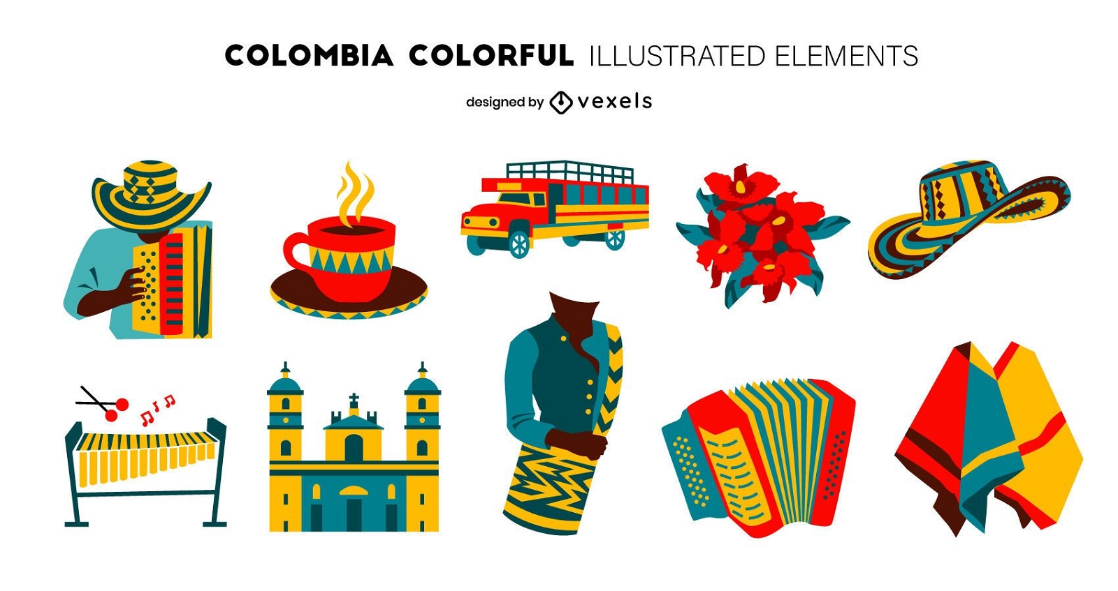
Pacote de Design de Elementos Coloridos da Colômbia
Escolha uma pasta
Todos os favoritos
Criar novo
Salvar
Pacote de Design de Elementos Coloridos da Colômbia
Premium
Bandeira nacional da georgia Desenho PNG
Escolha uma pasta
Todos os favoritos
Criar novo
Salvar
Bandeira nacional da georgia Desenho PNG
Conteúdo em alemão
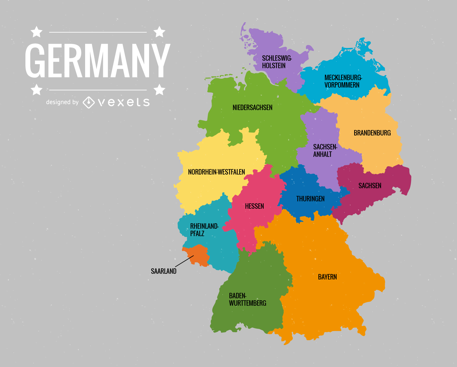
Deutschlandkarte Germany Map Vector
Escolha uma pasta
Todos os favoritos
Criar novo
Salvar
Deutschlandkarte Germany Map Vector
Pronto para imprimir
para Merch
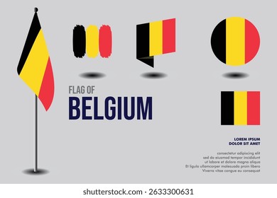
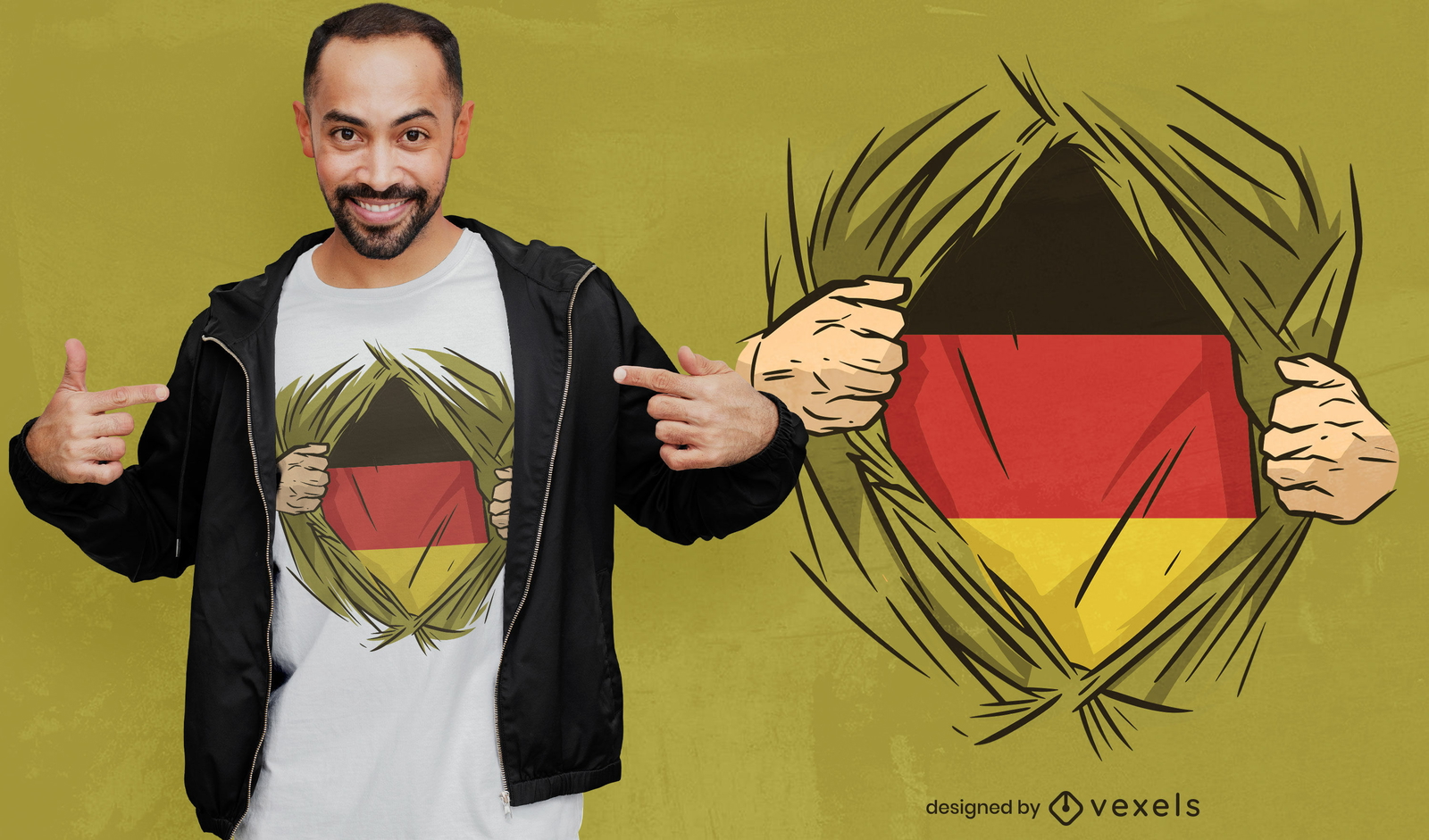
Design de camiseta de herói da bandeira da Alemanha
Escolha uma pasta
Todos os favoritos
Criar novo
Salvar
Design de camiseta de herói da bandeira da Alemanha
Premium
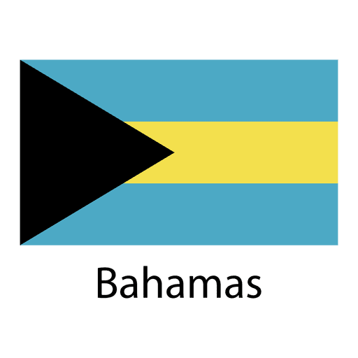
Bandeira nacional das Bahamas Desenho PNG
Escolha uma pasta
Todos os favoritos
Criar novo
Salvar
Bandeira nacional das Bahamas Desenho PNG
vetor de ícone de bandeira
Escolha uma pasta
Todos os favoritos
Criar novo
Salvar
vetor de ícone de bandeira
Premium
Michigan retrô pôr do sol estados dos eua Desenho PNG
Escolha uma pasta
Todos os favoritos
Criar novo
Salvar
Michigan retrô pôr do sol estados dos eua Desenho PNG
Premium
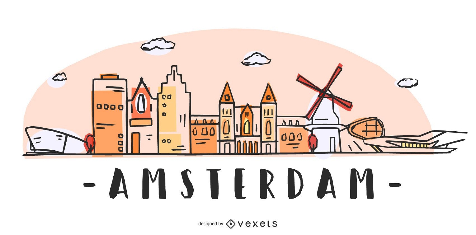
Amsterdam Skyline Design
Escolha uma pasta
Todos os favoritos
Criar novo
Salvar
Amsterdam Skyline Design
Premium
Bandeira nacional do Senegal Desenho PNG
Escolha uma pasta
Todos os favoritos
Criar novo
Salvar
Bandeira nacional do Senegal Desenho PNG
Premium
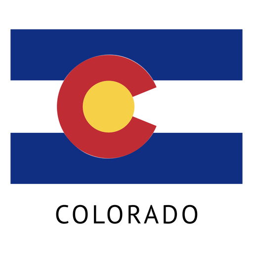
Bandeira do estado de colorado Desenho PNG
Escolha uma pasta
Todos os favoritos
Criar novo
Salvar
Bandeira do estado de colorado Desenho PNG
Premium
Mapa plano do estado de Indiana Desenho PNG
Escolha uma pasta
Todos os favoritos
Criar novo
Salvar
Mapa plano do estado de Indiana Desenho PNG
Premium
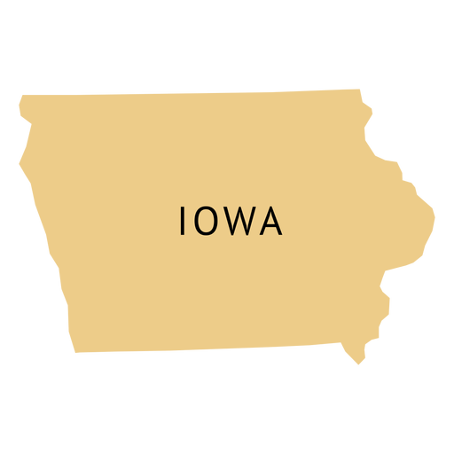
Mapa plano do estado de Iowa Desenho PNG
Escolha uma pasta
Todos os favoritos
Criar novo
Salvar
Mapa plano do estado de Iowa Desenho PNG
Premium
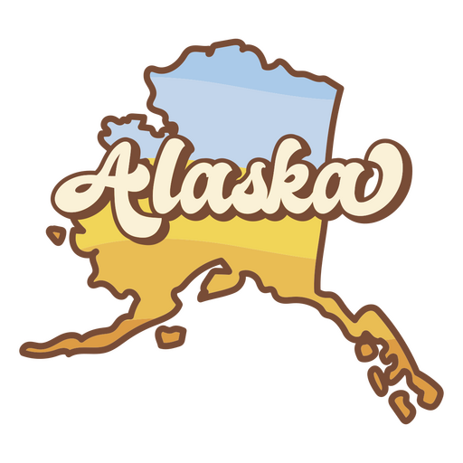
estados dos eua do pôr do sol retrô do alasca Desenho PNG
Escolha uma pasta
Todos os favoritos
Criar novo
Salvar
estados dos eua do pôr do sol retrô do alasca Desenho PNG
Premium
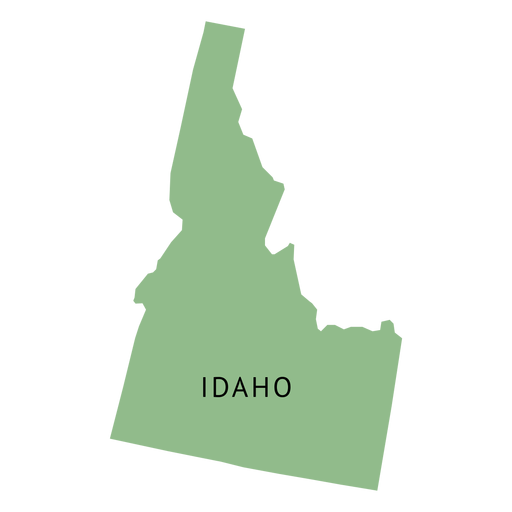
Mapa plano do estado de Idaho Desenho PNG
Escolha uma pasta
Todos os favoritos
Criar novo
Salvar
Mapa plano do estado de Idaho Desenho PNG
Premium
Mapa plano do estado de Kentucky Desenho PNG
Escolha uma pasta
Todos os favoritos
Criar novo
Salvar
Mapa plano do estado de Kentucky Desenho PNG
Premium
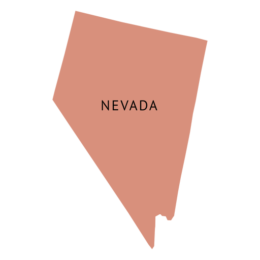
Mapa plano do estado de Nevada Desenho PNG
Escolha uma pasta
Todos os favoritos
Criar novo
Salvar
Mapa plano do estado de Nevada Desenho PNG
Premium
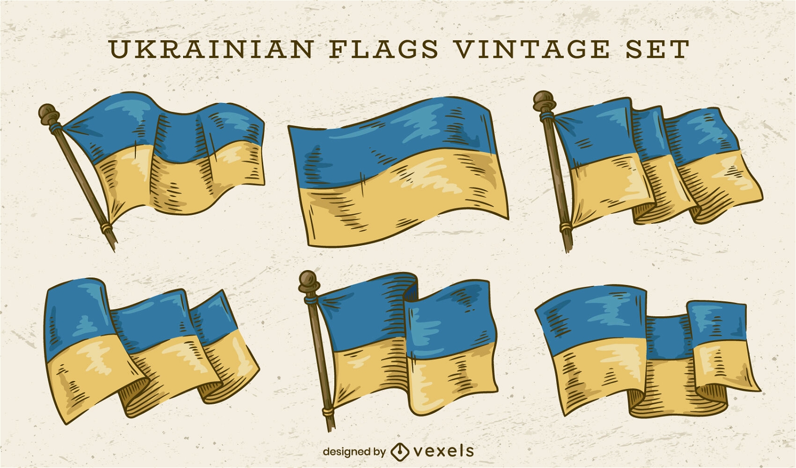
Conjunto de bandeiras ucranianas
Escolha uma pasta
Todos os favoritos
Criar novo
Salvar
Conjunto de bandeiras ucranianas
Mapa de acidente vascular cerebral do estado de Nova Jersey Desenho PNG
Escolha uma pasta
Todos os favoritos
Criar novo
Salvar
Mapa de acidente vascular cerebral do estado de Nova Jersey Desenho PNG
Premium
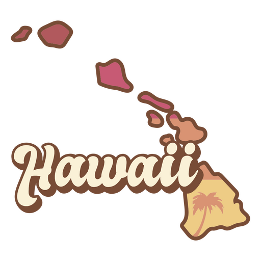
Estados americanos do pôr do sol retrô do Havaí Desenho PNG
Escolha uma pasta
Todos os favoritos
Criar novo
Salvar
Estados americanos do pôr do sol retrô do Havaí Desenho PNG
Premium
Silhueta da torre eiffel Desenho PNG
Escolha uma pasta
Todos os favoritos
Criar novo
Salvar
Silhueta da torre eiffel Desenho PNG
Premium
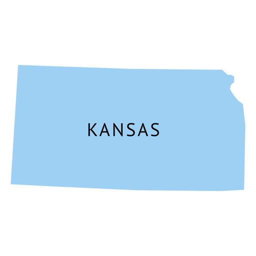
Mapa plano do estado de Kansas Desenho PNG
Escolha uma pasta
Todos os favoritos
Criar novo
Salvar
Mapa plano do estado de Kansas Desenho PNG
Premium
Mapa da planície do estado da Carolina do Norte Desenho PNG
Escolha uma pasta
Todos os favoritos
Criar novo
Salvar
Mapa da planície do estado da Carolina do Norte Desenho PNG
Premium
Bandeira nacional do Bahrein Desenho PNG
Escolha uma pasta
Todos os favoritos
Criar novo
Salvar
Bandeira nacional do Bahrein Desenho PNG
Premium
Bandeira nacional do Paquistão Desenho PNG
Escolha uma pasta
Todos os favoritos
Criar novo
Salvar
Bandeira nacional do Paquistão Desenho PNG
Premium
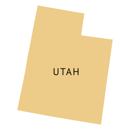
Mapa plano do estado de Utah Desenho PNG
Escolha uma pasta
Todos os favoritos
Criar novo
Salvar
Mapa plano do estado de Utah Desenho PNG
Ilustração de el salvador Desenho PNG
Escolha uma pasta
Todos os favoritos
Criar novo
Salvar
Ilustração de el salvador Desenho PNG
para Merch
Design de camisetas da bandeira italiana do grunge
Escolha uma pasta
Todos os favoritos
Criar novo
Salvar
Design de camisetas da bandeira italiana do grunge
Premium
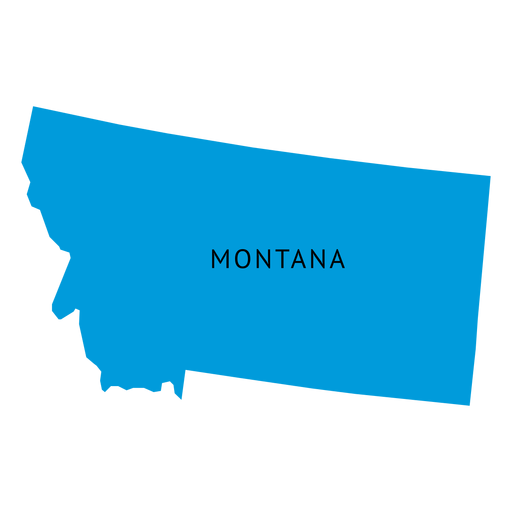
Mapa plano do estado de Montana Desenho PNG
Escolha uma pasta
Todos os favoritos
Criar novo
Salvar
Mapa plano do estado de Montana Desenho PNG
Premium
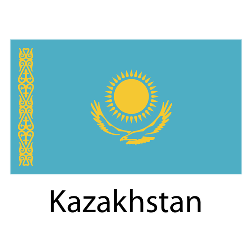
Bandeira nacional do Cazaquistão Desenho PNG
Escolha uma pasta
Todos os favoritos
Criar novo
Salvar
Bandeira nacional do Cazaquistão Desenho PNG
Premium
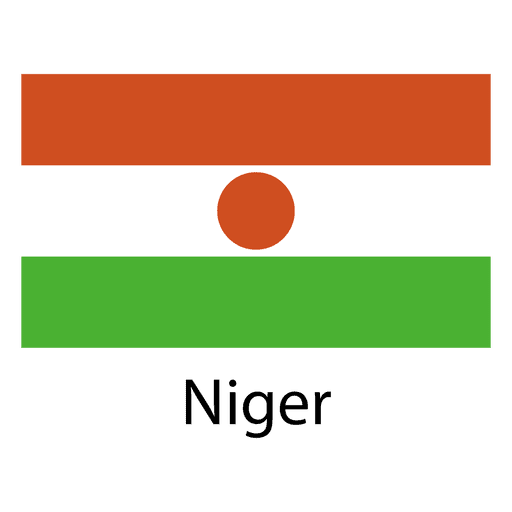
Bandeira nacional niger Desenho PNG
Escolha uma pasta
Todos os favoritos
Criar novo
Salvar
Bandeira nacional niger Desenho PNG
Curso de mapa da Geórgia EUA Desenho PNG
Escolha uma pasta
Todos os favoritos
Criar novo
Salvar
Curso de mapa da Geórgia EUA Desenho PNG
Premium
Ícone de idioma da bandeira dos EUA Desenho PNG
Escolha uma pasta
Todos os favoritos
Criar novo
Salvar
Ícone de idioma da bandeira dos EUA Desenho PNG
Desenho da bandeira pincelada de Cuba Desenho PNG
Escolha uma pasta
Todos os favoritos
Criar novo
Salvar
Desenho da bandeira pincelada de Cuba Desenho PNG
Conteúdo em alemão
Ilustração do mapa da Alemanha
Escolha uma pasta
Todos os favoritos
Criar novo
Salvar
Ilustração do mapa da Alemanha
Premium
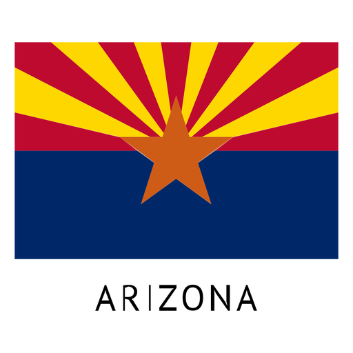
Bandeira do estado do Arizona Desenho PNG
Escolha uma pasta
Todos os favoritos
Criar novo
Salvar
Bandeira do estado do Arizona Desenho PNG
Premium
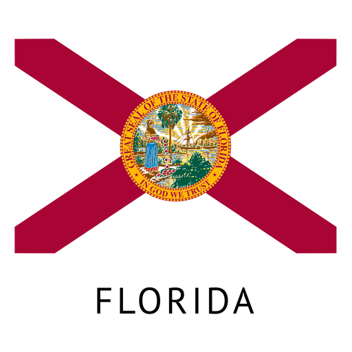
Bandeira do estado da flórida Desenho PNG
Escolha uma pasta
Todos os favoritos
Criar novo
Salvar
Bandeira do estado da flórida Desenho PNG
Mapa de acidente vascular cerebral do estado da Carolina do Norte Desenho PNG
Escolha uma pasta
Todos os favoritos
Criar novo
Salvar
Mapa de acidente vascular cerebral do estado da Carolina do Norte Desenho PNG
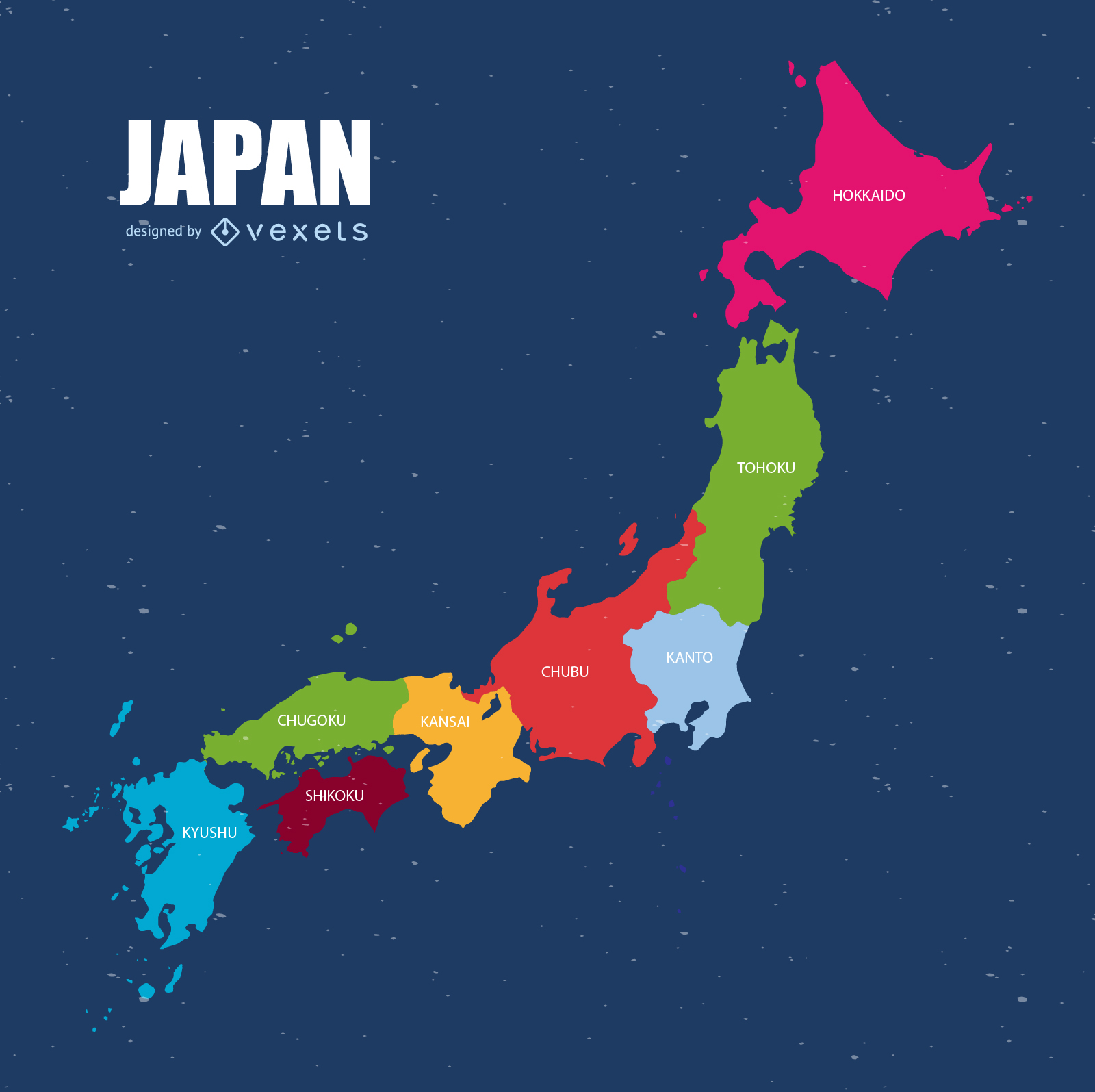
Vetor do mapa do Japão
Escolha uma pasta
Todos os favoritos
Criar novo
Salvar
Vetor do mapa do Japão
Curso de mapa de Kentucky EUA Desenho PNG
Escolha uma pasta
Todos os favoritos
Criar novo
Salvar
Curso de mapa de Kentucky EUA Desenho PNG
Premium
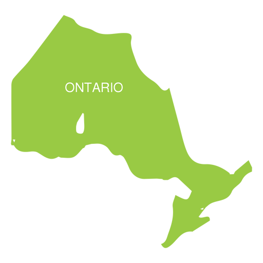
Mapa da província de Ontário Desenho PNG
Escolha uma pasta
Todos os favoritos
Criar novo
Salvar
Mapa da província de Ontário Desenho PNG
Premium
Mapa plano do estado de Washington Desenho PNG
Escolha uma pasta
Todos os favoritos
Criar novo
Salvar
Mapa plano do estado de Washington Desenho PNG
Premium
Bandeira nacional do Bangladesh Desenho PNG
Escolha uma pasta
Todos os favoritos
Criar novo
Salvar
Bandeira nacional do Bangladesh Desenho PNG
Premium
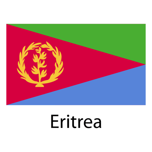
Bandeira nacional da Eritreia Desenho PNG
Escolha uma pasta
Todos os favoritos
Criar novo
Salvar
Bandeira nacional da Eritreia Desenho PNG
Premium
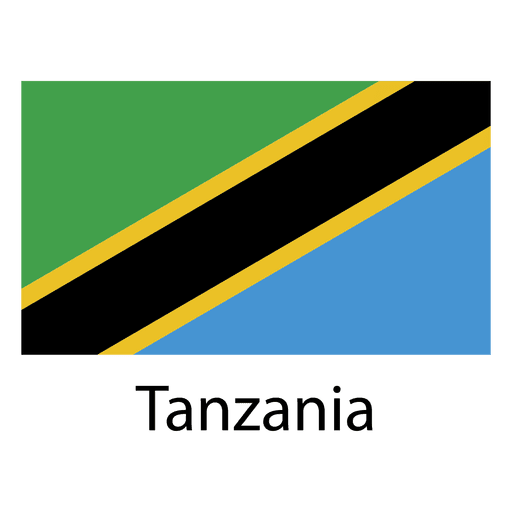
Bandeira nacional da tanzânia Desenho PNG
Escolha uma pasta
Todos os favoritos
Criar novo
Salvar
Bandeira nacional da tanzânia Desenho PNG
Silhueta do mapa eua da Louisiana Desenho PNG
Escolha uma pasta
Todos os favoritos
Criar novo
Salvar
Silhueta do mapa eua da Louisiana Desenho PNG
Curso de mapa de Illinois EUA Desenho PNG
Escolha uma pasta
Todos os favoritos
Criar novo
Salvar
Curso de mapa de Illinois EUA Desenho PNG
Mapa de acidente vascular cerebral do estado de Nova York Desenho PNG
Escolha uma pasta
Todos os favoritos
Criar novo
Salvar
Mapa de acidente vascular cerebral do estado de Nova York Desenho PNG
Impulsione seu negócio
Com a plataforma gráfica líder de mercado.
Ver planos
Próxima
do 61
prev page
next page