Biblioteca de design
Novos designs Merch
Camisetas
Vectores
Designs de Merch de Tendência
PNGs & SVGs
Mockups
Modelos de T-Shirt PSD
Explorar Desenhos
Designs KDP
Pôsteres
Canecas
Capas para celular
Sacos de compras
Almofadas
Ferramentas de desenho
Merch Designer
Novo!
Mockup Generator
Gerador de Design de AI
Vetorizador
Quote Generator
T-Shirt Maker (Antigo)
Ajuda
Merch Digest
Blog
Centro de Ajuda
Saiba mais sobre o Merch
Feedback
Soluções Corporativas
Empresa
Acesso à API
Estúdio de Design
Design em Lote
Preços
Carregando...
Inscrever-se
Conecte-se
All
del
rio
Biblioteca de design
Novos designs Merch
Camisetas
Vectores
Designs de Merch de Tendência
PNGs & SVGs
Mockups
Modelos de T-Shirt PSD
Explorar Desenhos
Designs KDP
Pôsteres
Canecas
Capas para celular
Sacos de compras
Almofadas
Ferramentas de desenho
Merch Designer
Novo!
Mockup Generator
Gerador de Design de AI
Vetorizador
Quote Generator
T-Shirt Maker (Antigo)
Ajuda
Merch Digest
Blog
Centro de Ajuda
Saiba mais sobre o Merch
Feedback
Soluções Corporativas
Empresa
Acesso à API
Estúdio de Design
Design em Lote
PLANOS
All
del
rio
834 Gráficos e Designs de del rio para Camisetas e Merch print on demand
Baixar designs de camisetas e para merch, como capas de livro, capas de celular, tote bags e mais de del rio
Ordenar por
Mais relevante
Resultados patrocinados da
Ganhe 15% de desconto com o código: VEXELS15
veja mais detalhes
Silhueta da floresta do rio Desenho PNG
Escolha uma pasta
Todos os favoritos
Criar novo
Salvar
Silhueta da floresta do rio Desenho PNG
Gerado por IA, selecionado por nossos designers.
para Merch
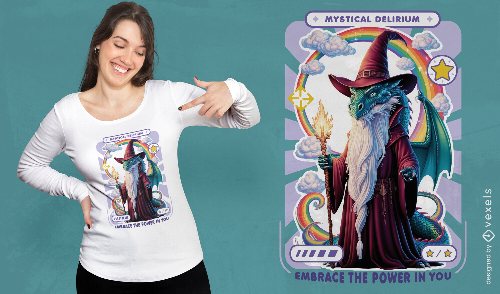
Design de camiseta do mago do delírio místico
Escolha uma pasta
Todos os favoritos
Criar novo
Salvar
Design de camiseta do mago do delírio místico
Silhueta de doca de madeira do lago Desenho PNG
Escolha uma pasta
Todos os favoritos
Criar novo
Salvar
Silhueta de doca de madeira do lago Desenho PNG
texto editável
Pronto para imprimir
para Merch
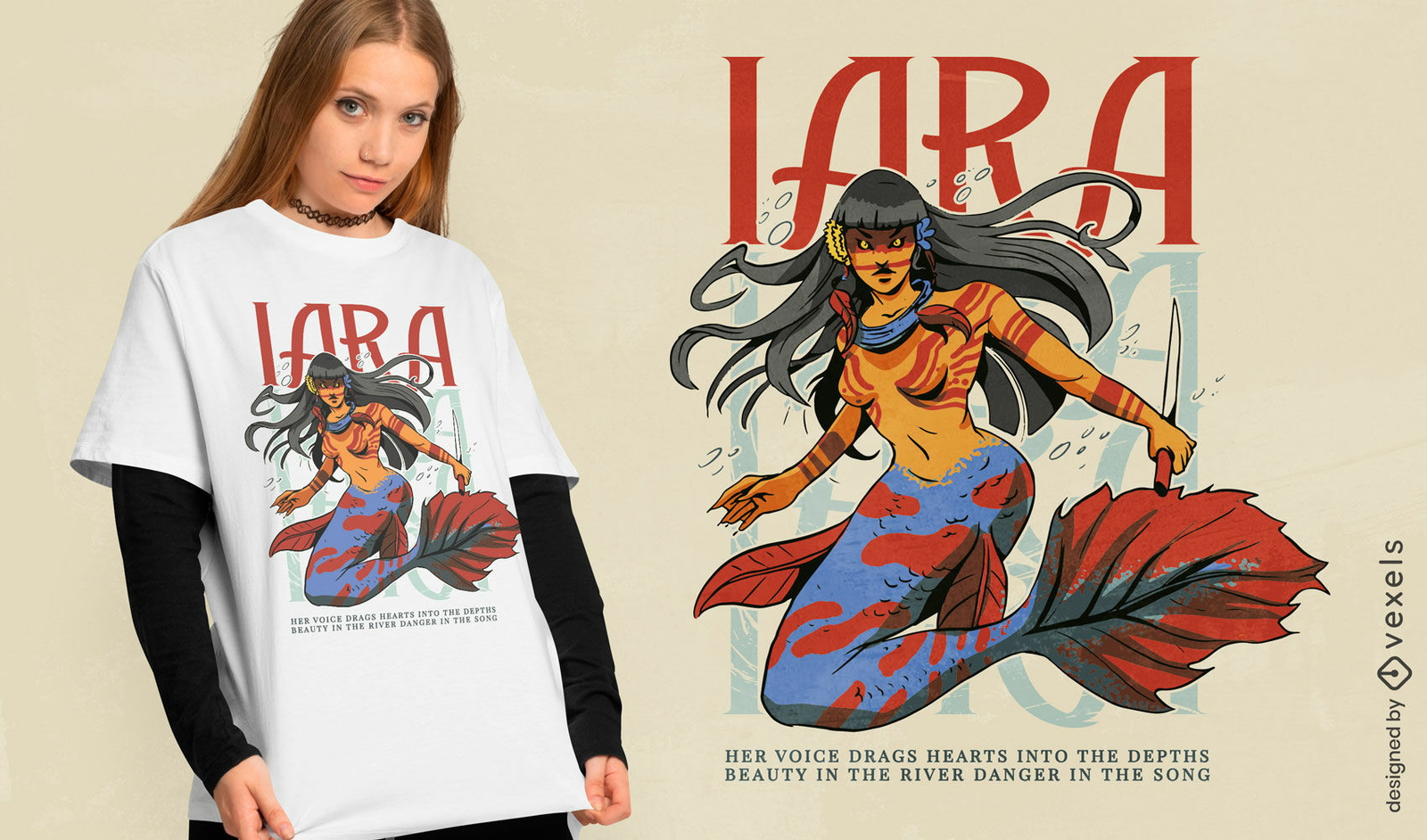
Design de camiseta de sereia mítica
Escolha uma pasta
Todos os favoritos
Criar novo
Salvar
Design de camiseta de sereia mítica
Premium
Design laranja do sistema solar Desenho PNG
Escolha uma pasta
Todos os favoritos
Criar novo
Salvar
Design laranja do sistema solar Desenho PNG
Editar online
Modelo de design para camiseta Design lúdico para comemoração de aniversário de 40 anos
Escolha uma pasta
Todos os favoritos
Criar novo
Salvar
Modelo de design para camiseta Design lúdico para comemoração de aniversário de 40 anos
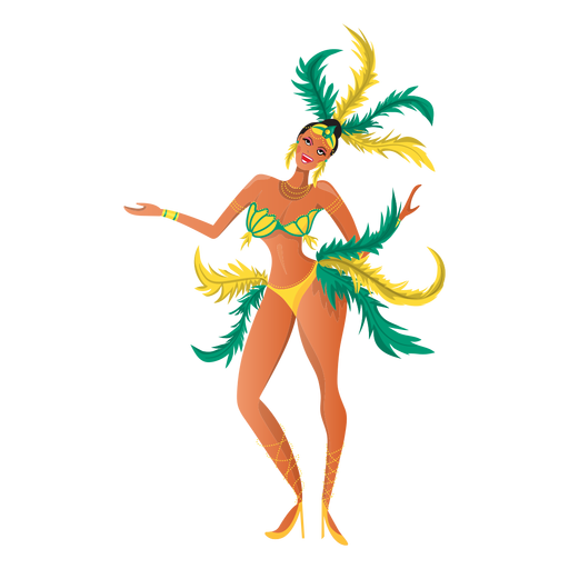
Ilustração colorida de carnaval
Escolha uma pasta
Todos os favoritos
Criar novo
Salvar
Ilustração colorida de carnaval
Premium
Carnaval carioca Desenho PNG
Escolha uma pasta
Todos os favoritos
Criar novo
Salvar
Carnaval carioca Desenho PNG
Premium
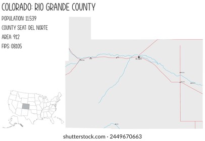
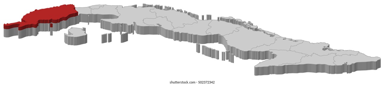
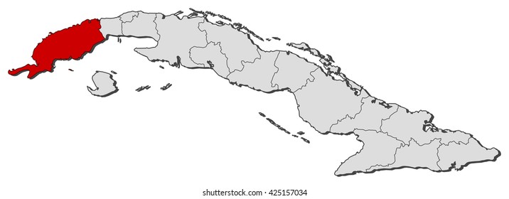
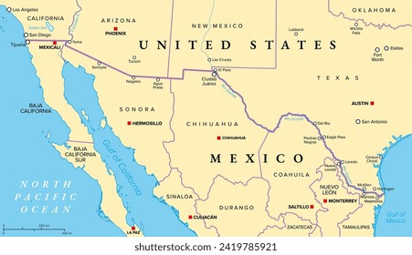
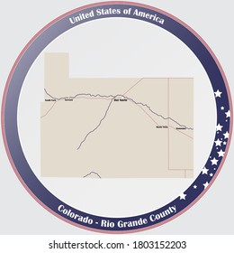
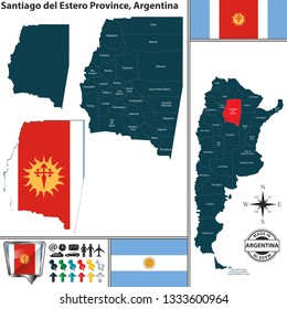
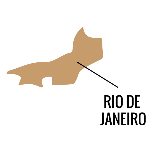
Mapa do estado do Rio de Janeiro Desenho PNG
Escolha uma pasta
Todos os favoritos
Criar novo
Salvar
Mapa do estado do Rio de Janeiro Desenho PNG
texto editável
Pronto para imprimir
Premium
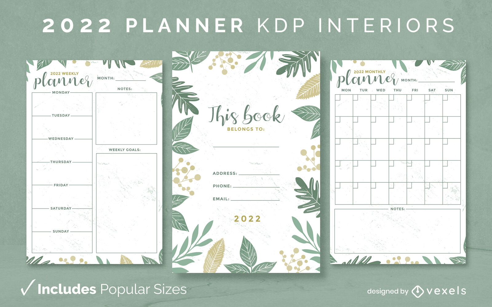
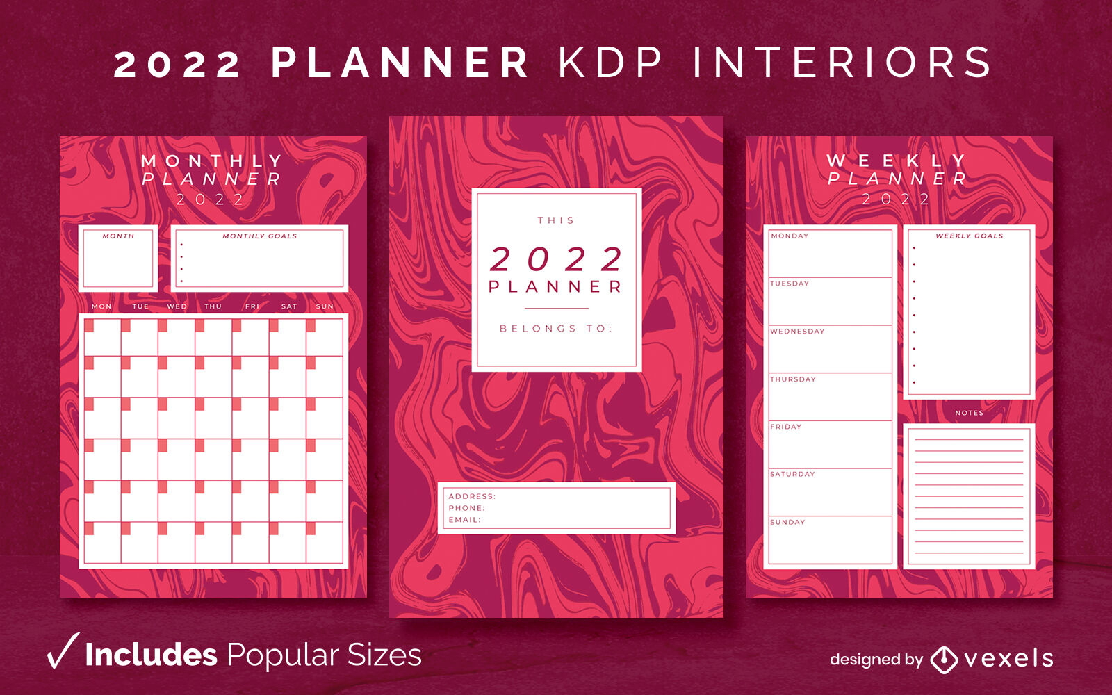
Modelo de diário do planejador de 2022 KDP interior
Escolha uma pasta
Todos os favoritos
Criar novo
Salvar
Modelo de diário do planejador de 2022 KDP interior
texto editável
Pronto para imprimir
Premium
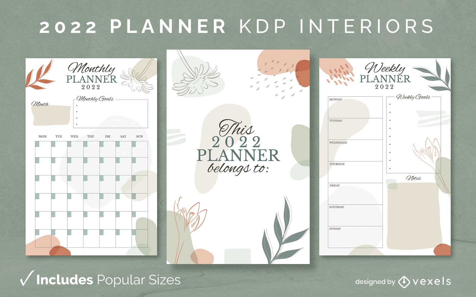
Modelo de design abstrato do planejador 2022 KDP
Escolha uma pasta
Todos os favoritos
Criar novo
Salvar
Modelo de design abstrato do planejador 2022 KDP
Pronto para imprimir
Premium
Modelo interior do planejador abstrato 2022 KDP
Escolha uma pasta
Todos os favoritos
Criar novo
Salvar
Modelo interior do planejador abstrato 2022 KDP
Sinal do arco-íris do orgulho cortado Desenho PNG
Escolha uma pasta
Todos os favoritos
Criar novo
Salvar
Sinal do arco-íris do orgulho cortado Desenho PNG
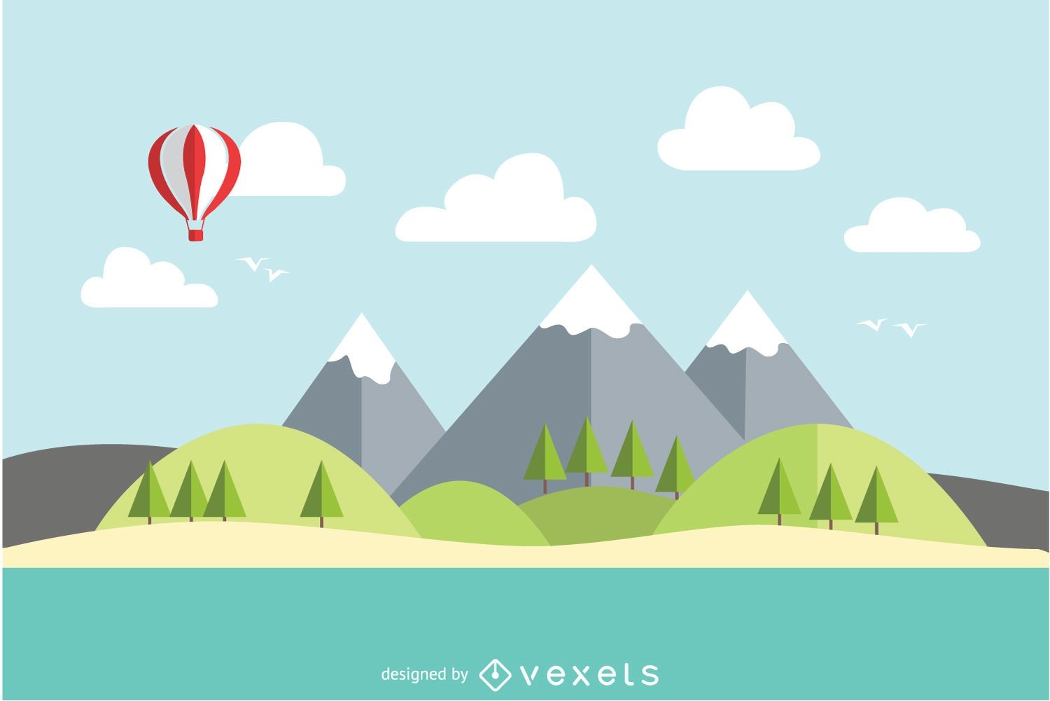
Paisagem plana de lago de montanha
Escolha uma pasta
Todos os favoritos
Criar novo
Salvar
Paisagem plana de lago de montanha
Premium
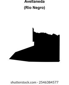
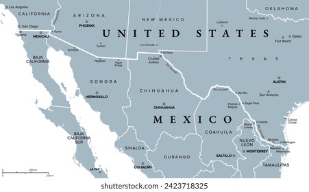
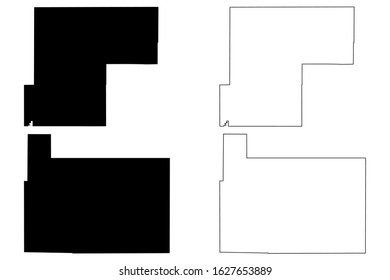
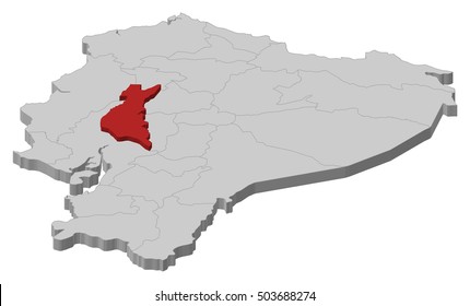
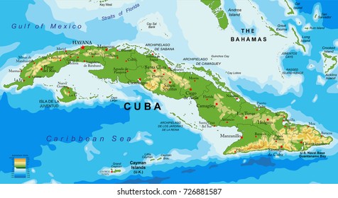
Mapa do estado do rio grande do sul Desenho PNG
Escolha uma pasta
Todos os favoritos
Criar novo
Salvar
Mapa do estado do rio grande do sul Desenho PNG
texto editável
Pronto para imprimir
Premium
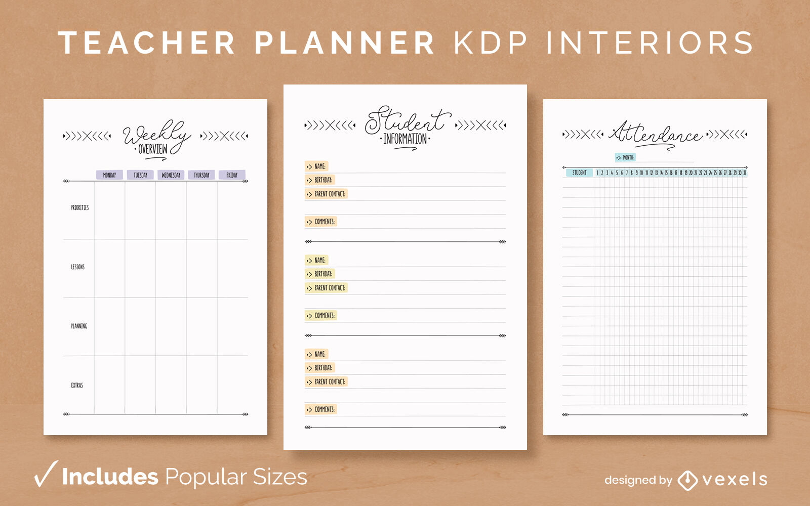
Modelo de design de diário do planejador de professores KDP
Escolha uma pasta
Todos os favoritos
Criar novo
Salvar
Modelo de design de diário do planejador de professores KDP
Premium
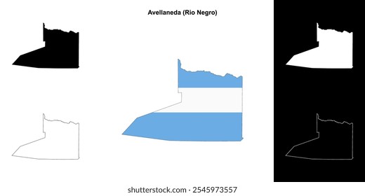
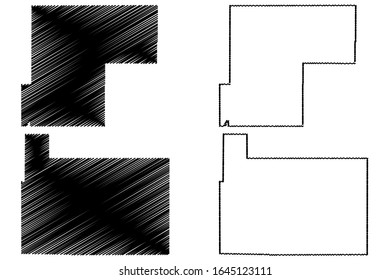
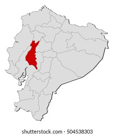
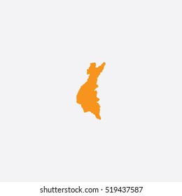
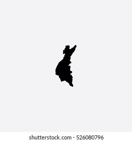
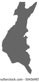
Mapa do estado do rio grande do norte Desenho PNG
Escolha uma pasta
Todos os favoritos
Criar novo
Salvar
Mapa do estado do rio grande do norte Desenho PNG
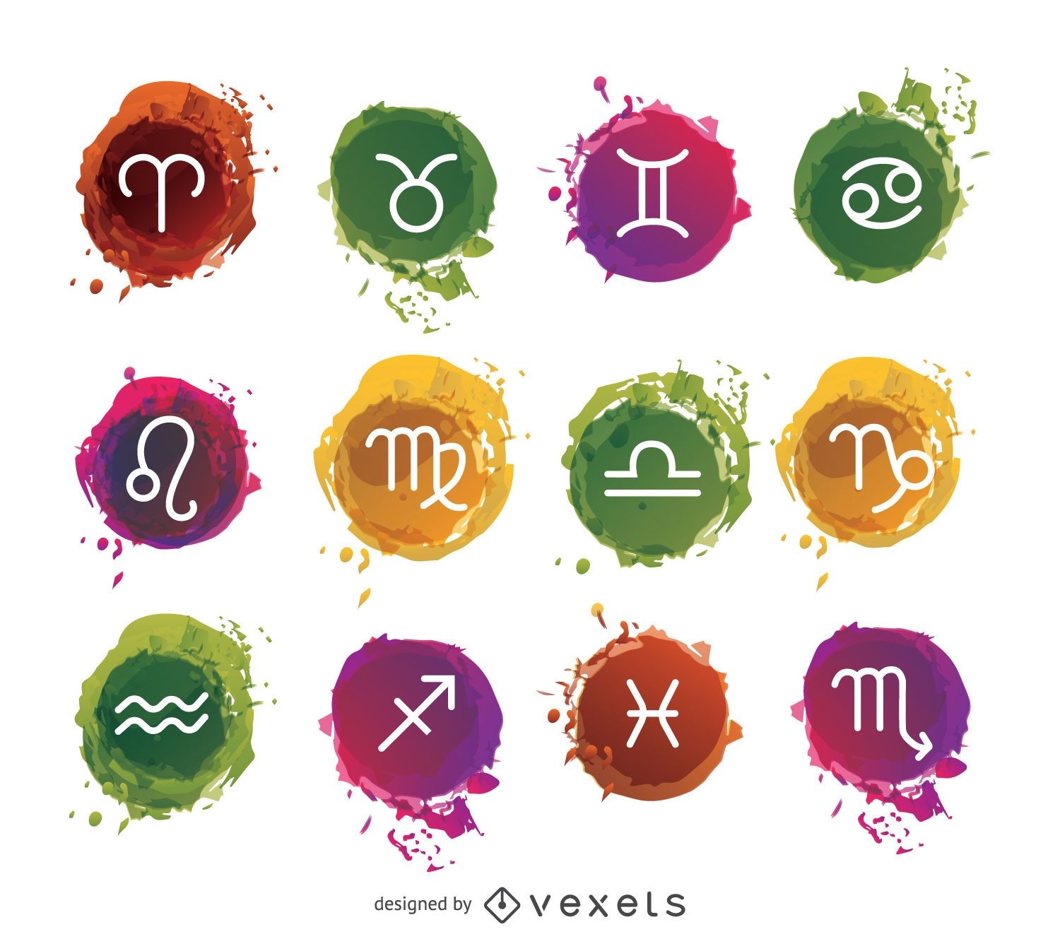
Conjunto de signos do zodíaco em aquarela
Escolha uma pasta
Todos os favoritos
Criar novo
Salvar
Conjunto de signos do zodíaco em aquarela
texto editável
Premium
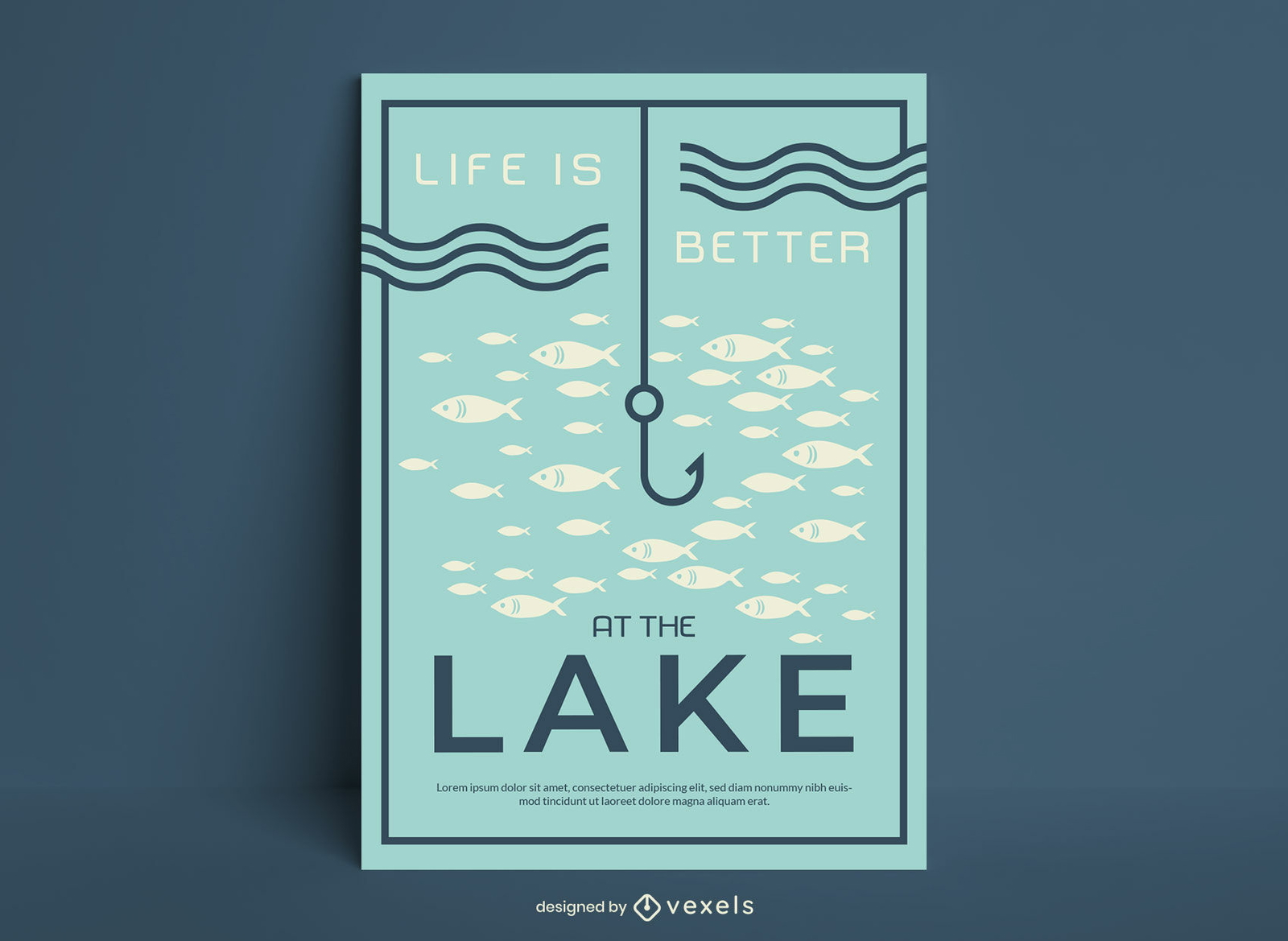
A vida é melhor no pôster de pesca no lago
Escolha uma pasta
Todos os favoritos
Criar novo
Salvar
A vida é melhor no pôster de pesca no lago
Premium
Lontra de rio poligonal Desenho PNG
Escolha uma pasta
Todos os favoritos
Criar novo
Salvar
Lontra de rio poligonal Desenho PNG
texto editável
Pronto para imprimir
Premium
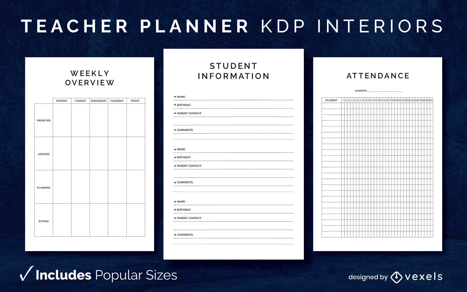
Modelo de diário de planejador de professores KDP design de interiores
Escolha uma pasta
Todos os favoritos
Criar novo
Salvar
Modelo de diário de planejador de professores KDP design de interiores
Pronto para imprimir
para Merch
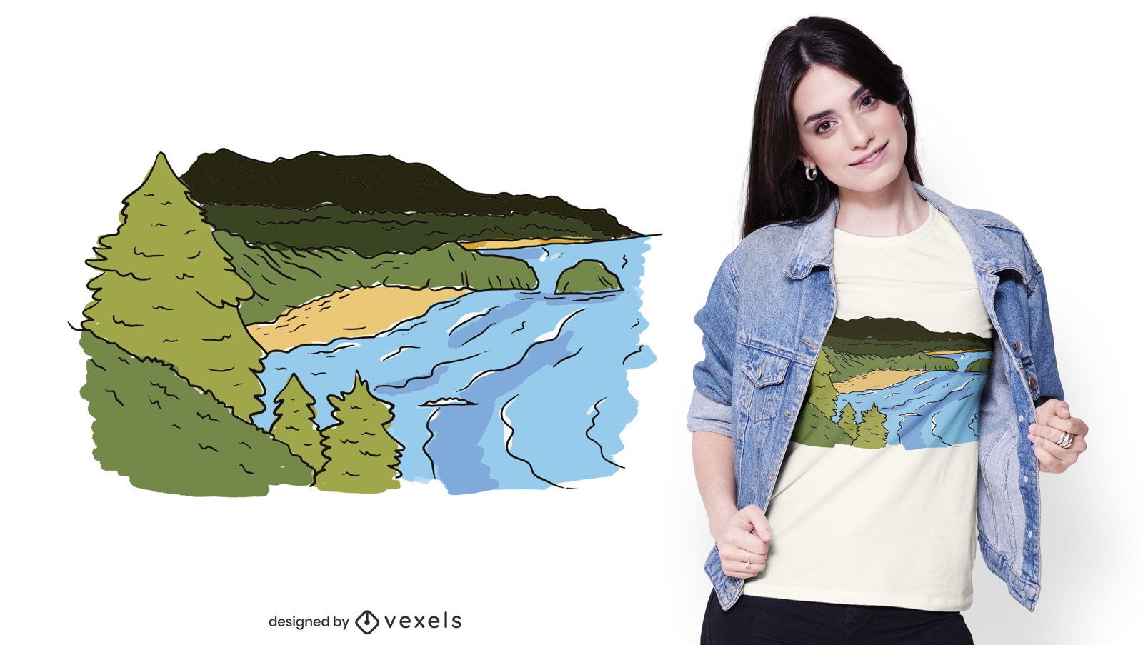
Design de camiseta da costa oceano
Escolha uma pasta
Todos os favoritos
Criar novo
Salvar
Design de camiseta da costa oceano
bandeira do logotipo olímpico Desenho PNG
Escolha uma pasta
Todos os favoritos
Criar novo
Salvar
bandeira do logotipo olímpico Desenho PNG
Premium
Doca paisagem plana Desenho PNG
Escolha uma pasta
Todos os favoritos
Criar novo
Salvar
Doca paisagem plana Desenho PNG
Distintivo de citação de vida no lago Desenho PNG
Escolha uma pasta
Todos os favoritos
Criar novo
Salvar
Distintivo de citação de vida no lago Desenho PNG
Premium
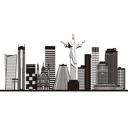
Silhueta do horizonte do Rio de janeiro Desenho PNG
Escolha uma pasta
Todos os favoritos
Criar novo
Salvar
Silhueta do horizonte do Rio de janeiro Desenho PNG
Pride Lettering Block Sans Serif - 29 Desenho PNG
Escolha uma pasta
Todos os favoritos
Criar novo
Salvar
Pride Lettering Block Sans Serif - 29 Desenho PNG
texto editável
Pronto para imprimir
para Merch
Design de camiseta da rainha do 50º aniversário
Escolha uma pasta
Todos os favoritos
Criar novo
Salvar
Design de camiseta da rainha do 50º aniversário
Premium
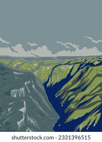
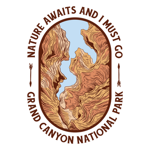
Parque natural do Grand Canyon Desenho PNG
Escolha uma pasta
Todos os favoritos
Criar novo
Salvar
Parque natural do Grand Canyon Desenho PNG
texto editável
Pronto para imprimir
Premium
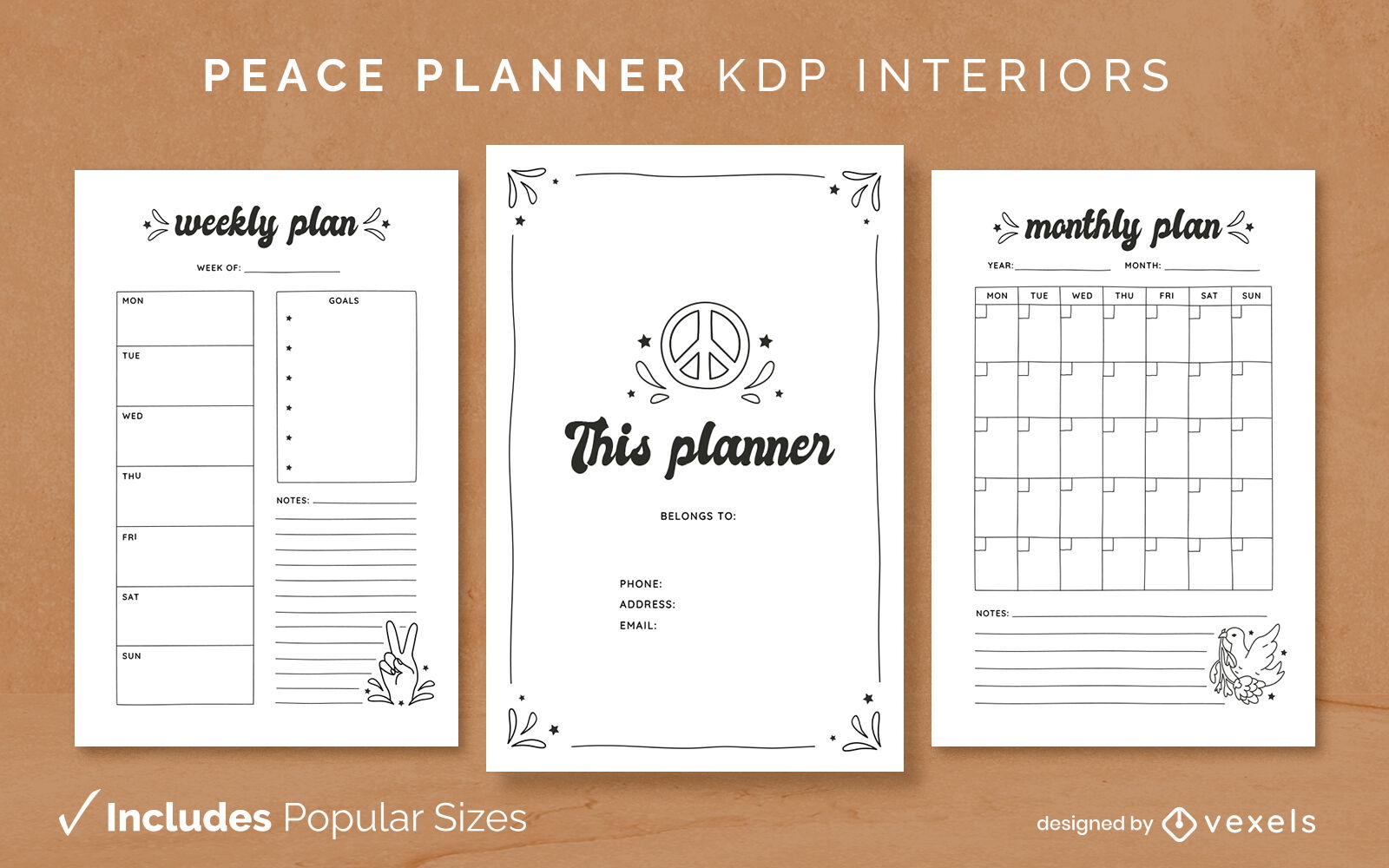
Modelo de Design de Diário do planejador da paz KDP
Escolha uma pasta
Todos os favoritos
Criar novo
Salvar
Modelo de Design de Diário do planejador da paz KDP
texto editável
Pronto para imprimir
Premium
Modelo de design de diário do planejador Corgi KDP
Escolha uma pasta
Todos os favoritos
Criar novo
Salvar
Modelo de design de diário do planejador Corgi KDP
texto editável
Pronto para imprimir
Premium
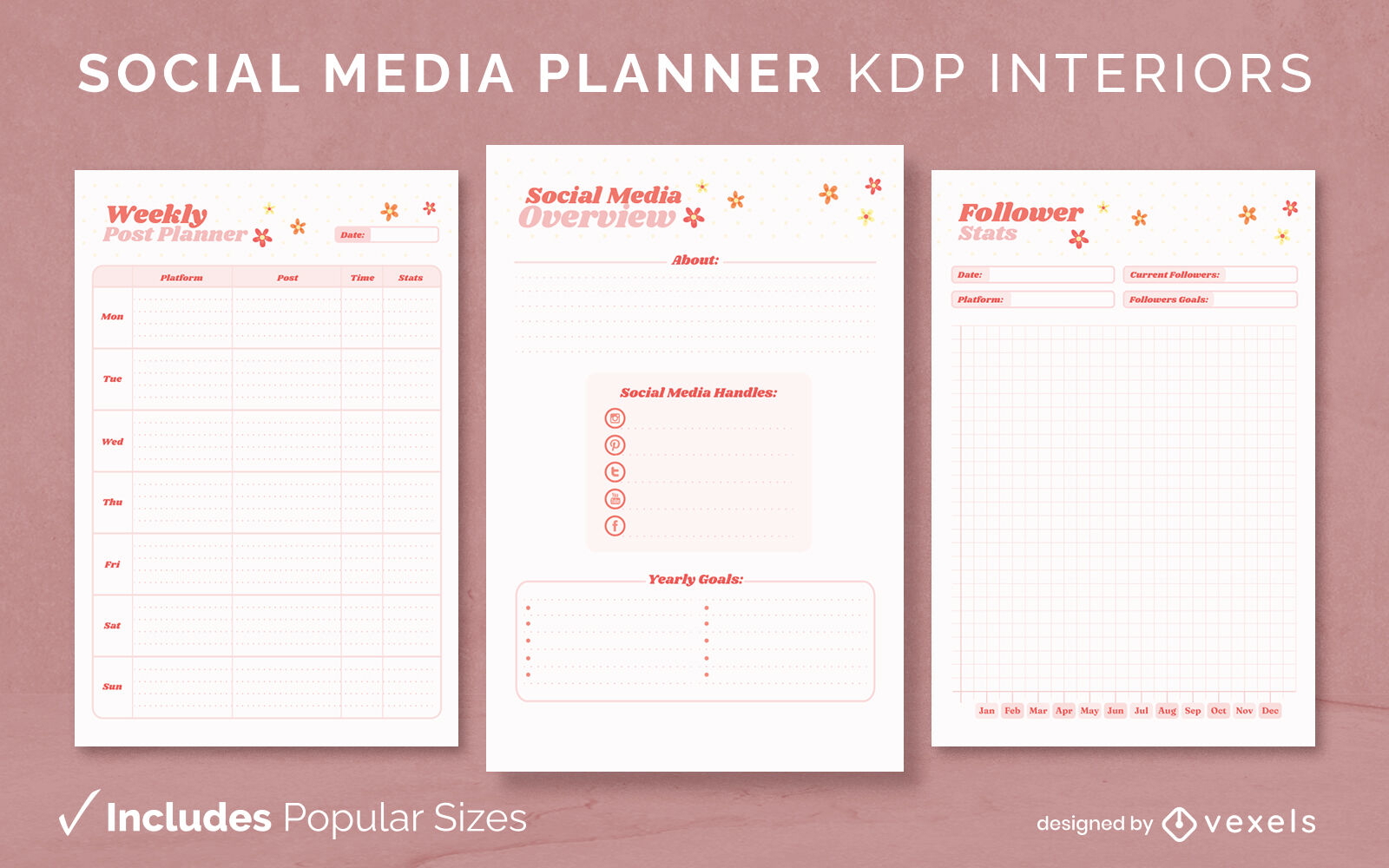
KDP de modelo de design de jornal de planejador de mídia social
Escolha uma pasta
Todos os favoritos
Criar novo
Salvar
KDP de modelo de design de jornal de planejador de mídia social
Pronto para imprimir
para Merch
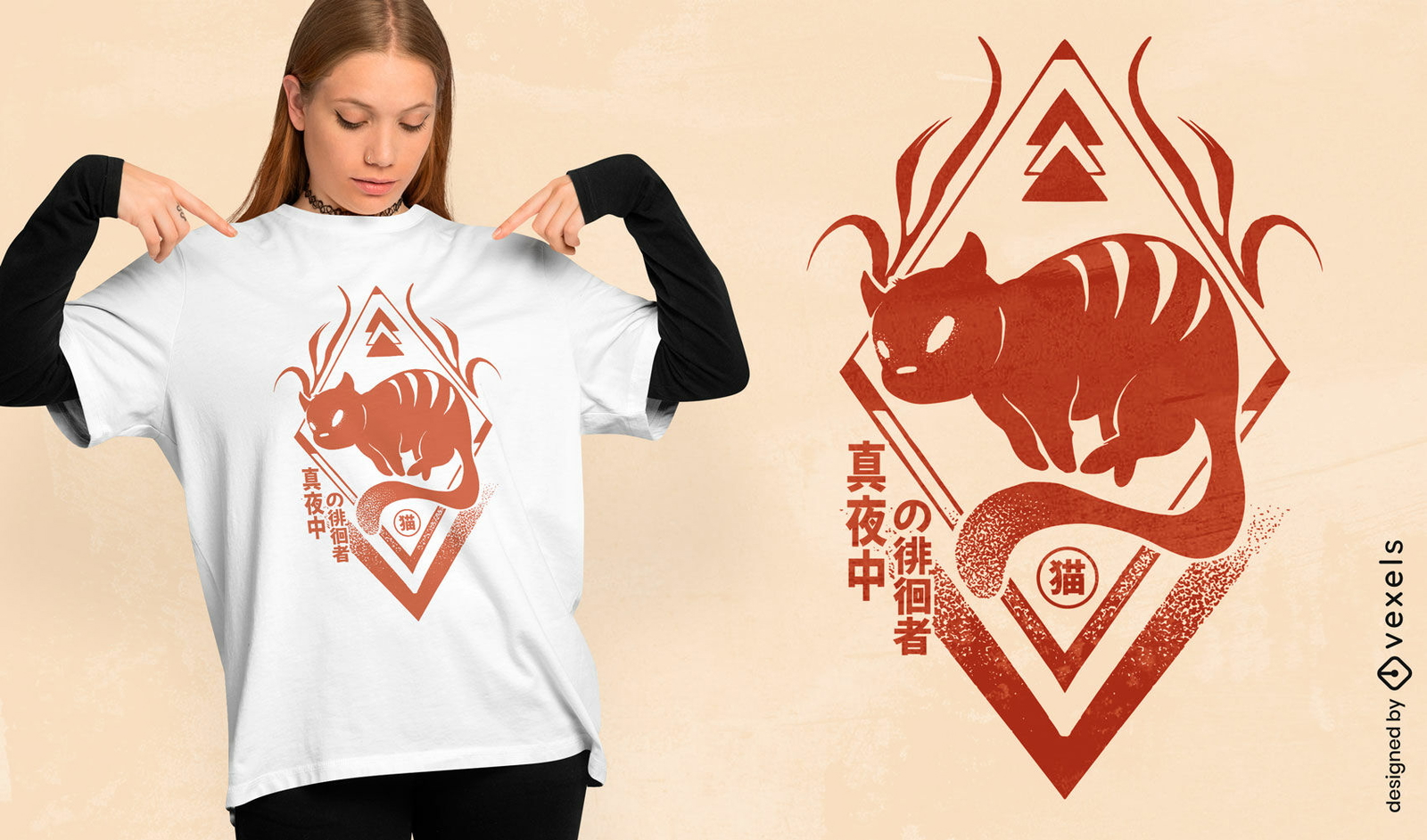
Design de camiseta de gato do zodíaco chinês
Escolha uma pasta
Todos os favoritos
Criar novo
Salvar
Design de camiseta de gato do zodíaco chinês
Premium
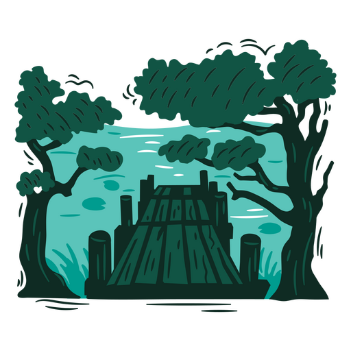
Cena de doca com árvores Desenho PNG
Escolha uma pasta
Todos os favoritos
Criar novo
Salvar
Cena de doca com árvores Desenho PNG
Capa do Livro
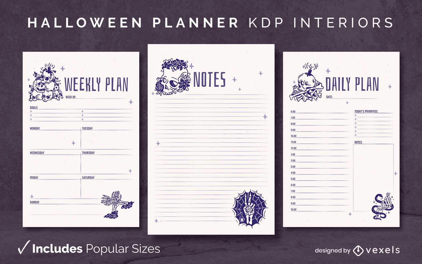
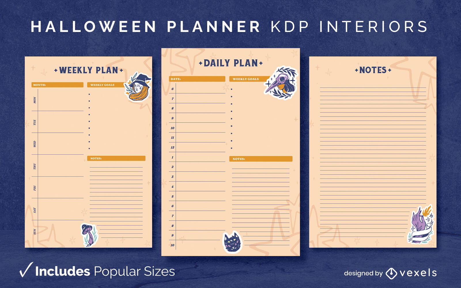
Modelo de diário de esqueletos de planejador de Halloween KDP design de interiores
Escolha uma pasta
Todos os favoritos
Criar novo
Salvar
Modelo de diário de esqueletos de planejador de Halloween KDP design de interiores
texto editável
Pronto para imprimir
Premium
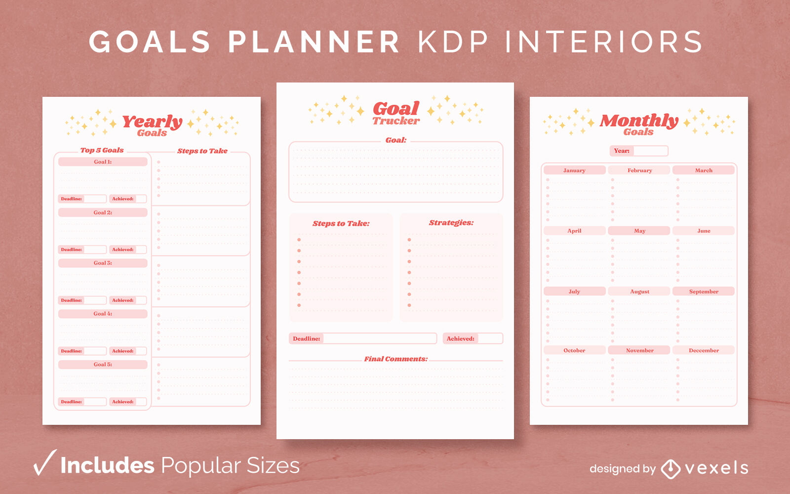
Modelo de design de diário do planejador de metas KDP
Escolha uma pasta
Todos os favoritos
Criar novo
Salvar
Modelo de design de diário do planejador de metas KDP
Pedra do cemitério com aranha Desenho PNG
Escolha uma pasta
Todos os favoritos
Criar novo
Salvar
Pedra do cemitério com aranha Desenho PNG
Premium
Cena de doca tranquila Desenho PNG
Escolha uma pasta
Todos os favoritos
Criar novo
Salvar
Cena de doca tranquila Desenho PNG
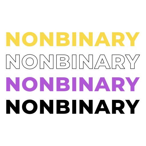
mês do orgulho - 7 Desenho PNG
Escolha uma pasta
Todos os favoritos
Criar novo
Salvar
mês do orgulho - 7 Desenho PNG
texto editável
Pronto para imprimir
Premium
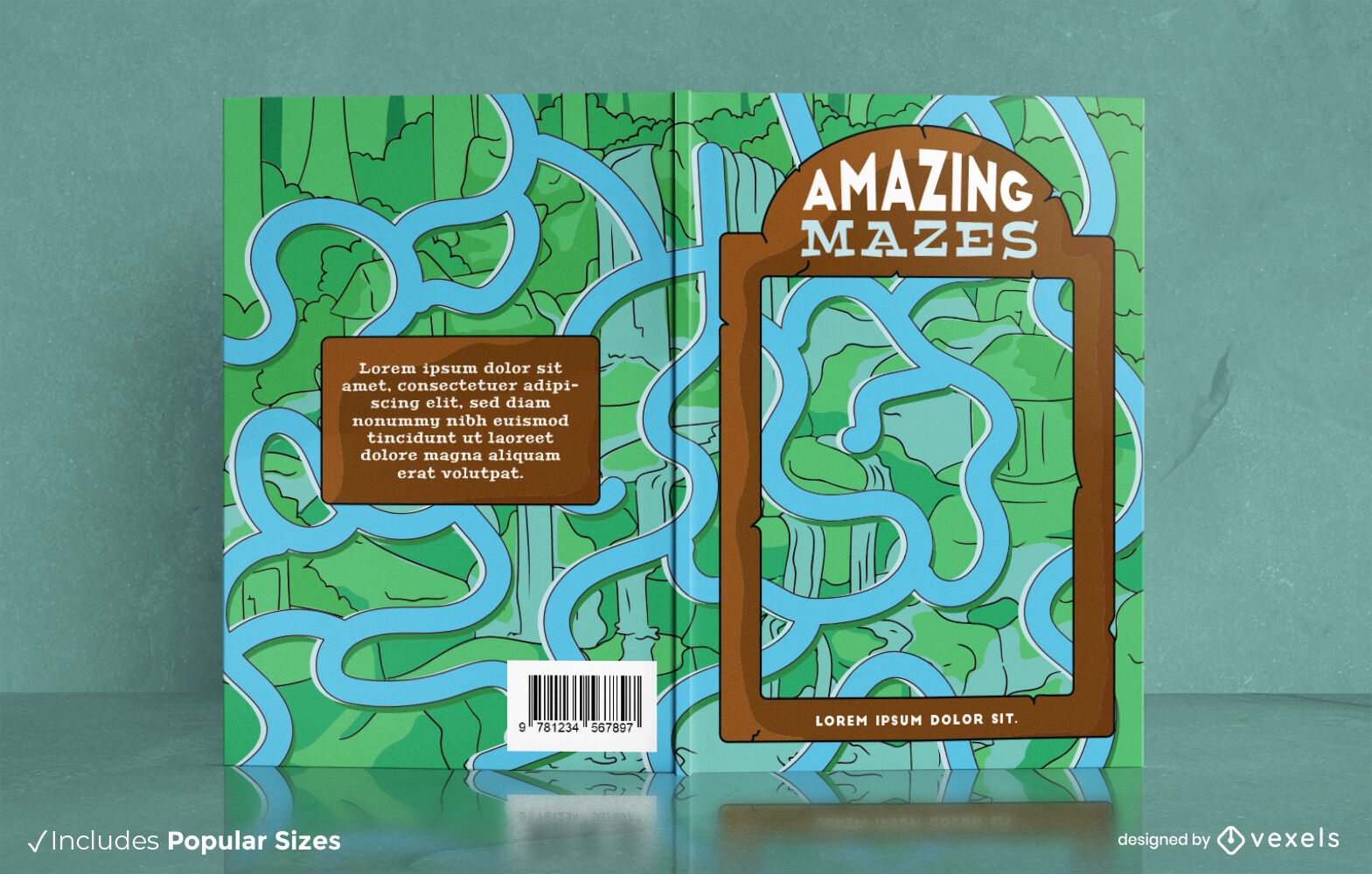
Rio no design da capa do livro do labirinto da selva
Escolha uma pasta
Todos os favoritos
Criar novo
Salvar
Rio no design da capa do livro do labirinto da selva
texto editável
Pronto para imprimir
Premium
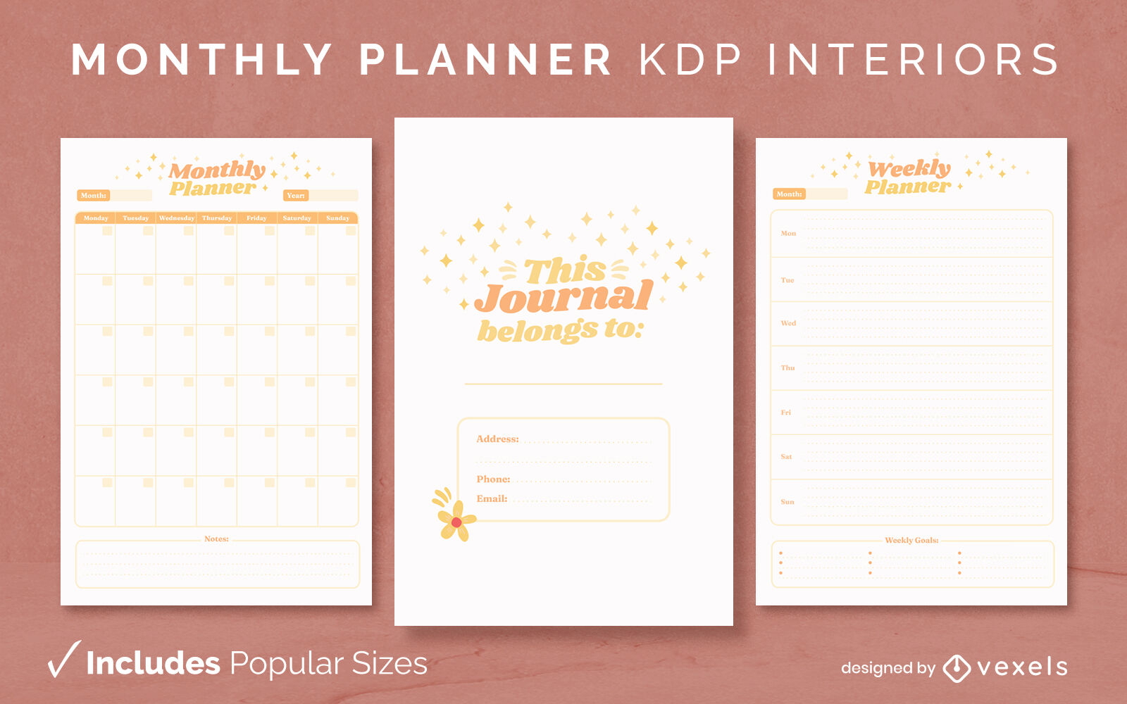
Planejador mensal duotônico modelo de design de jornal KDP
Escolha uma pasta
Todos os favoritos
Criar novo
Salvar
Planejador mensal duotônico modelo de design de jornal KDP
texto editável
Pronto para imprimir
Premium
Modelo de diário de planejador de bruxas de Halloween KDP design de interiores
Escolha uma pasta
Todos os favoritos
Criar novo
Salvar
Modelo de diário de planejador de bruxas de Halloween KDP design de interiores
Nasceu esta citação de orgulho gay brilhante Desenho PNG
Escolha uma pasta
Todos os favoritos
Criar novo
Salvar
Nasceu esta citação de orgulho gay brilhante Desenho PNG
Distintivo de citação de peixe com destino ao rio Desenho PNG
Escolha uma pasta
Todos os favoritos
Criar novo
Salvar
Distintivo de citação de peixe com destino ao rio Desenho PNG
Premium
Cena de doca com montanhas Desenho PNG
Escolha uma pasta
Todos os favoritos
Criar novo
Salvar
Cena de doca com montanhas Desenho PNG
Distintivo de citação de atividade de água de vida no rio Desenho PNG
Escolha uma pasta
Todos os favoritos
Criar novo
Salvar
Distintivo de citação de atividade de água de vida no rio Desenho PNG
Pedra assustadora do cemitério Desenho PNG
Escolha uma pasta
Todos os favoritos
Criar novo
Salvar
Pedra assustadora do cemitério Desenho PNG
Premium
Cena da natureza do lago Desenho PNG
Escolha uma pasta
Todos os favoritos
Criar novo
Salvar
Cena da natureza do lago Desenho PNG
Saindo do clube citação de orgulho rosa brilhante Desenho PNG
Escolha uma pasta
Todos os favoritos
Criar novo
Salvar
Saindo do clube citação de orgulho rosa brilhante Desenho PNG
Premium
Vista lateral de lontra poligonal Desenho PNG
Escolha uma pasta
Todos os favoritos
Criar novo
Salvar
Vista lateral de lontra poligonal Desenho PNG
Impulsione seu negócio
Com a plataforma gráfica líder de mercado.
Ver planos
Próxima
do 17
prev page
next page