Biblioteca de design
Novos designs Merch
Camisetas
Vectores
Designs de Merch de Tendência
PNGs & SVGs
Mockups
Modelos de T-Shirt PSD
Explorar Desenhos
Designs KDP
Pôsteres
Canecas
Capas para celular
Sacos de compras
Almofadas
Ferramentas de desenho
Merch Designer
Novo!
Mockup Generator
Gerador de Design de AI
Vetorizador
Quote Generator
T-Shirt Maker (Antigo)
Ajuda
Merch Digest
Blog
Centro de Ajuda
Saiba mais sobre o Merch
Feedback
Soluções Corporativas
Empresa
Acesso à API
Estúdio de Design
Design em Lote
Preços
Carregando...
Inscrever-se
Conecte-se
All
der
Biblioteca de design
Novos designs Merch
Camisetas
Vectores
Designs de Merch de Tendência
PNGs & SVGs
Mockups
Modelos de T-Shirt PSD
Explorar Desenhos
Designs KDP
Pôsteres
Canecas
Capas para celular
Sacos de compras
Almofadas
Ferramentas de desenho
Merch Designer
Novo!
Mockup Generator
Gerador de Design de AI
Vetorizador
Quote Generator
T-Shirt Maker (Antigo)
Ajuda
Merch Digest
Blog
Centro de Ajuda
Saiba mais sobre o Merch
Feedback
Soluções Corporativas
Empresa
Acesso à API
Estúdio de Design
Design em Lote
PLANOS
All
der
39337 Gráficos e Designs de der para Camisetas e Merch print on demand
Baixar designs de camisetas e para merch, como capas de livro, capas de celular, tote bags e mais de der
Relacionado:
derby
,
roller derby
,
dervixe
Ordenar por
Mais relevante
Resultados patrocinados da
Ganhe 15% de desconto com o código: VEXELS15
veja mais detalhes
Premium
Uma mão de osso alusiva ao Dia dos Mortos Desenho PNG
Escolha uma pasta
Todos os favoritos
Criar novo
Salvar
Uma mão de osso alusiva ao Dia dos Mortos Desenho PNG
Premium
Guitarra colorida alusiva ao Dia dos Mortos Desenho PNG
Escolha uma pasta
Todos os favoritos
Criar novo
Salvar
Guitarra colorida alusiva ao Dia dos Mortos Desenho PNG
Premium
Evocando o Dia dos Mortos Desenho PNG
Escolha uma pasta
Todos os favoritos
Criar novo
Salvar
Evocando o Dia dos Mortos Desenho PNG
Premium
Preservando a tradição mexicana do dia dos mortos Desenho PNG
Escolha uma pasta
Todos os favoritos
Criar novo
Salvar
Preservando a tradição mexicana do dia dos mortos Desenho PNG
Premium
Design desenhado à mão para evocar as tradições mexicanas do Dia dos Mortos Desenho PNG
Escolha uma pasta
Todos os favoritos
Criar novo
Salvar
Design desenhado à mão para evocar as tradições mexicanas do Dia dos Mortos Desenho PNG
Premium
Design desenhado à mão para celebrar as tradições mexicanas do Dia dos Mortos Desenho PNG
Escolha uma pasta
Todos os favoritos
Criar novo
Salvar
Design desenhado à mão para celebrar as tradições mexicanas do Dia dos Mortos Desenho PNG
Premium
Design desenhado à mão para comemorar as tradições mexicanas do Dia dos Mortos Desenho PNG
Escolha uma pasta
Todos os favoritos
Criar novo
Salvar
Design desenhado à mão para comemorar as tradições mexicanas do Dia dos Mortos Desenho PNG
Premium
Comemorando a tradição mexicana do dia dos mortos Desenho PNG
Escolha uma pasta
Todos os favoritos
Criar novo
Salvar
Comemorando a tradição mexicana do dia dos mortos Desenho PNG
Premium
Revivendo a tradição mexicana do dia dos mortos Desenho PNG
Escolha uma pasta
Todos os favoritos
Criar novo
Salvar
Revivendo a tradição mexicana do dia dos mortos Desenho PNG
Premium
Ícone de caveira Design colorido para evocar o Dia dos Mortos Desenho PNG
Escolha uma pasta
Todos os favoritos
Criar novo
Salvar
Ícone de caveira Design colorido para evocar o Dia dos Mortos Desenho PNG
Premium
Caveira para evocar o Dia dos Mortos Desenho PNG
Escolha uma pasta
Todos os favoritos
Criar novo
Salvar
Caveira para evocar o Dia dos Mortos Desenho PNG
Premium
Uma evocação do Dia dos Mortos na forma de uma silhueta de caveira Desenho PNG
Escolha uma pasta
Todos os favoritos
Criar novo
Salvar
Uma evocação do Dia dos Mortos na forma de uma silhueta de caveira Desenho PNG
Premium
Uma silhueta evocativa de caveira para evocar o Dia dos Mortos Desenho PNG
Escolha uma pasta
Todos os favoritos
Criar novo
Salvar
Uma silhueta evocativa de caveira para evocar o Dia dos Mortos Desenho PNG
Premium
A silhueta de uma caveira que evoca o Dia dos Mortos Desenho PNG
Escolha uma pasta
Todos os favoritos
Criar novo
Salvar
A silhueta de uma caveira que evoca o Dia dos Mortos Desenho PNG
Premium
Projeto do crânio para comemorar o dia dos mortos Desenho PNG
Escolha uma pasta
Todos os favoritos
Criar novo
Salvar
Projeto do crânio para comemorar o dia dos mortos Desenho PNG
Premium
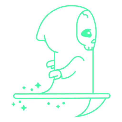
Ceifador patinando em uma foice Desenho PNG
Escolha uma pasta
Todos os favoritos
Criar novo
Salvar
Ceifador patinando em uma foice Desenho PNG
Premium
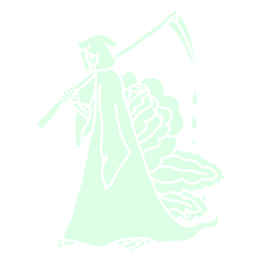
Grim reaper andando com uma foice Desenho PNG
Escolha uma pasta
Todos os favoritos
Criar novo
Salvar
Grim reaper andando com uma foice Desenho PNG
Premium
Ceifador pequeno com a foice Desenho PNG
Escolha uma pasta
Todos os favoritos
Criar novo
Salvar
Ceifador pequeno com a foice Desenho PNG
Premium
Assistência com cuidados infantis prestados por uma babá Desenho PNG
Escolha uma pasta
Todos os favoritos
Criar novo
Salvar
Assistência com cuidados infantis prestados por uma babá Desenho PNG
Premium
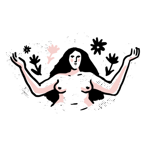
Ilustração que promove a autonomia do corpo e o autogoverno Desenho PNG
Escolha uma pasta
Todos os favoritos
Criar novo
Salvar
Ilustração que promove a autonomia do corpo e o autogoverno Desenho PNG
Premium
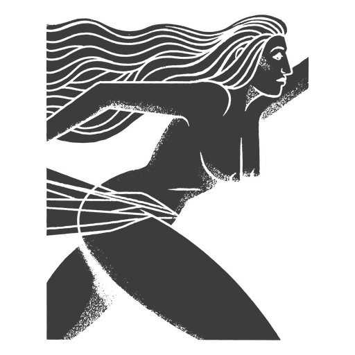
Ilustração cativante da autonomia do corpo Desenho PNG
Escolha uma pasta
Todos os favoritos
Criar novo
Salvar
Ilustração cativante da autonomia do corpo Desenho PNG
Premium
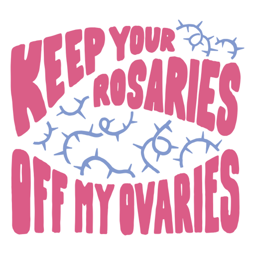
Gráfico arrojado celebrando o poder da autonomia corporal Desenho PNG
Escolha uma pasta
Todos os favoritos
Criar novo
Salvar
Gráfico arrojado celebrando o poder da autonomia corporal Desenho PNG
Premium
Ceifador segurando uma foice da morte sangrenta Desenho PNG
Escolha uma pasta
Todos os favoritos
Criar novo
Salvar
Ceifador segurando uma foice da morte sangrenta Desenho PNG
Premium
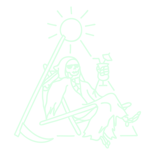
Ceifador se divertindo em um dia ensolarado Desenho PNG
Escolha uma pasta
Todos os favoritos
Criar novo
Salvar
Ceifador se divertindo em um dia ensolarado Desenho PNG
Premium
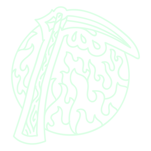
foice da morte no inferno Desenho PNG
Escolha uma pasta
Todos os favoritos
Criar novo
Salvar
foice da morte no inferno Desenho PNG
Premium
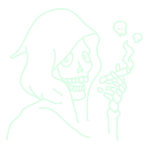
Ceifador fumando um cigarro fantasmagórico Desenho PNG
Escolha uma pasta
Todos os favoritos
Criar novo
Salvar
Ceifador fumando um cigarro fantasmagórico Desenho PNG
Dia do gato mítico morto cortado Desenho PNG
Escolha uma pasta
Todos os favoritos
Criar novo
Salvar
Dia do gato mítico morto cortado Desenho PNG
Letras de citação do dia dos mortos Desenho PNG
Escolha uma pasta
Todos os favoritos
Criar novo
Salvar
Letras de citação do dia dos mortos Desenho PNG
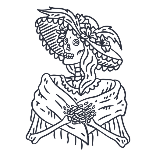
Dia da mulher esqueleto morta com golpe de chapéu Desenho PNG
Escolha uma pasta
Todos os favoritos
Criar novo
Salvar
Dia da mulher esqueleto morta com golpe de chapéu Desenho PNG
Dia do acidente vascular cerebral de mulher morta Desenho PNG
Escolha uma pasta
Todos os favoritos
Criar novo
Salvar
Dia do acidente vascular cerebral de mulher morta Desenho PNG
Distintivo plano de liberdade Desenho PNG
Escolha uma pasta
Todos os favoritos
Criar novo
Salvar
Distintivo plano de liberdade Desenho PNG
Deixe a silhueta do anel de liberdade Desenho PNG
Escolha uma pasta
Todos os favoritos
Criar novo
Salvar
Deixe a silhueta do anel de liberdade Desenho PNG
Doce terra da liberdade plana Desenho PNG
Escolha uma pasta
Todos os favoritos
Criar novo
Salvar
Doce terra da liberdade plana Desenho PNG
Premium
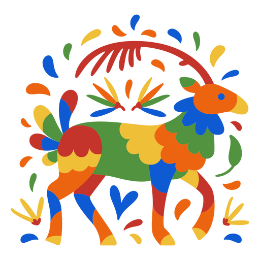
Dia do apartamento de veado colorido morto Desenho PNG
Escolha uma pasta
Todos os favoritos
Criar novo
Salvar
Dia do apartamento de veado colorido morto Desenho PNG
Premium
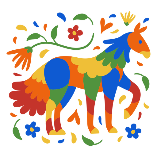
Dia do apartamento animal mítico morto Desenho PNG
Escolha uma pasta
Todos os favoritos
Criar novo
Salvar
Dia do apartamento animal mítico morto Desenho PNG
Dia da decoração da cruz morta cheia de traçado Desenho PNG
Escolha uma pasta
Todos os favoritos
Criar novo
Salvar
Dia da decoração da cruz morta cheia de traçado Desenho PNG
Traço do símbolo austríaco de ferrovias Desenho PNG
Escolha uma pasta
Todos os favoritos
Criar novo
Salvar
Traço do símbolo austríaco de ferrovias Desenho PNG
Ícone de cúpula do Capitólio dos Estados Unidos Desenho PNG
Escolha uma pasta
Todos os favoritos
Criar novo
Salvar
Ícone de cúpula do Capitólio dos Estados Unidos Desenho PNG
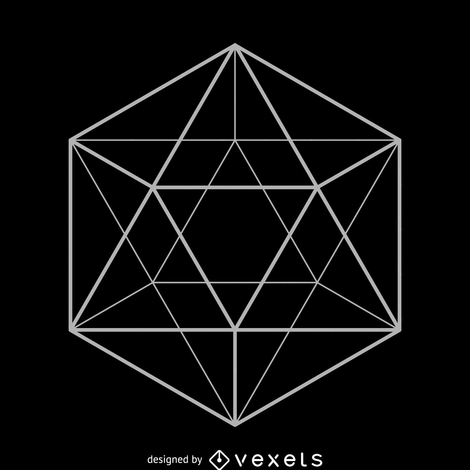
Desenho de geometria sagrada do icosaedro
Escolha uma pasta
Todos os favoritos
Criar novo
Salvar
Desenho de geometria sagrada do icosaedro
Premium
Design festivo de estrela com o número 20 Desenho PNG
Escolha uma pasta
Todos os favoritos
Criar novo
Salvar
Design festivo de estrela com o número 20 Desenho PNG
Premium
Design de camiseta com palavras de sabedoria sobre oração e fé Desenho PNG
Escolha uma pasta
Todos os favoritos
Criar novo
Salvar
Design de camiseta com palavras de sabedoria sobre oração e fé Desenho PNG
Premium
Elegante coroa de flores com rena e legenda "cometa". Desenho PNG
Escolha uma pasta
Todos os favoritos
Criar novo
Salvar
Elegante coroa de flores com rena e legenda "cometa". Desenho PNG
Premium
Design de árvore de Natal caprichoso com número 25 Desenho PNG
Escolha uma pasta
Todos os favoritos
Criar novo
Salvar
Design de árvore de Natal caprichoso com número 25 Desenho PNG
Premium
Luvas festivas com design número 13 Desenho PNG
Escolha uma pasta
Todos os favoritos
Criar novo
Salvar
Luvas festivas com design número 13 Desenho PNG
Premium
Ilustração de vela de aniversário festiva com design de camiseta com o número onze Desenho PNG
Escolha uma pasta
Todos os favoritos
Criar novo
Salvar
Ilustração de vela de aniversário festiva com design de camiseta com o número onze Desenho PNG
Pronto para imprimir
para Merch
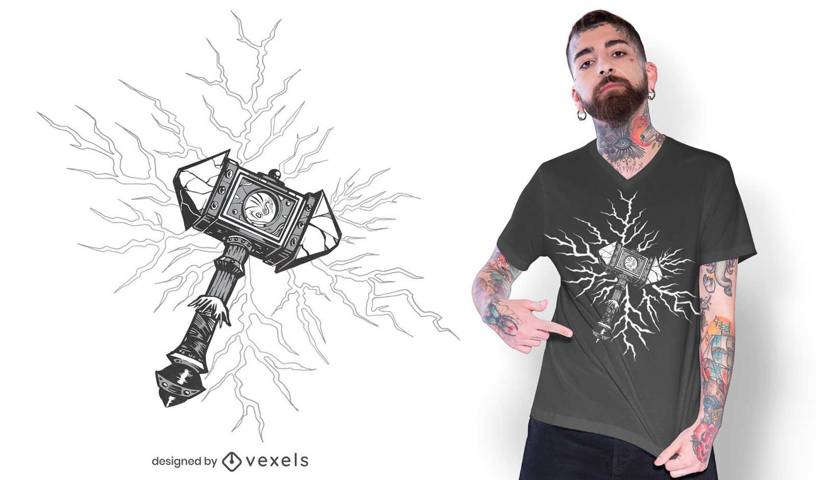
Martelo Viking liberando design de camiseta de trovão
Escolha uma pasta
Todos os favoritos
Criar novo
Salvar
Martelo Viking liberando design de camiseta de trovão
Pronto para imprimir
para Merch
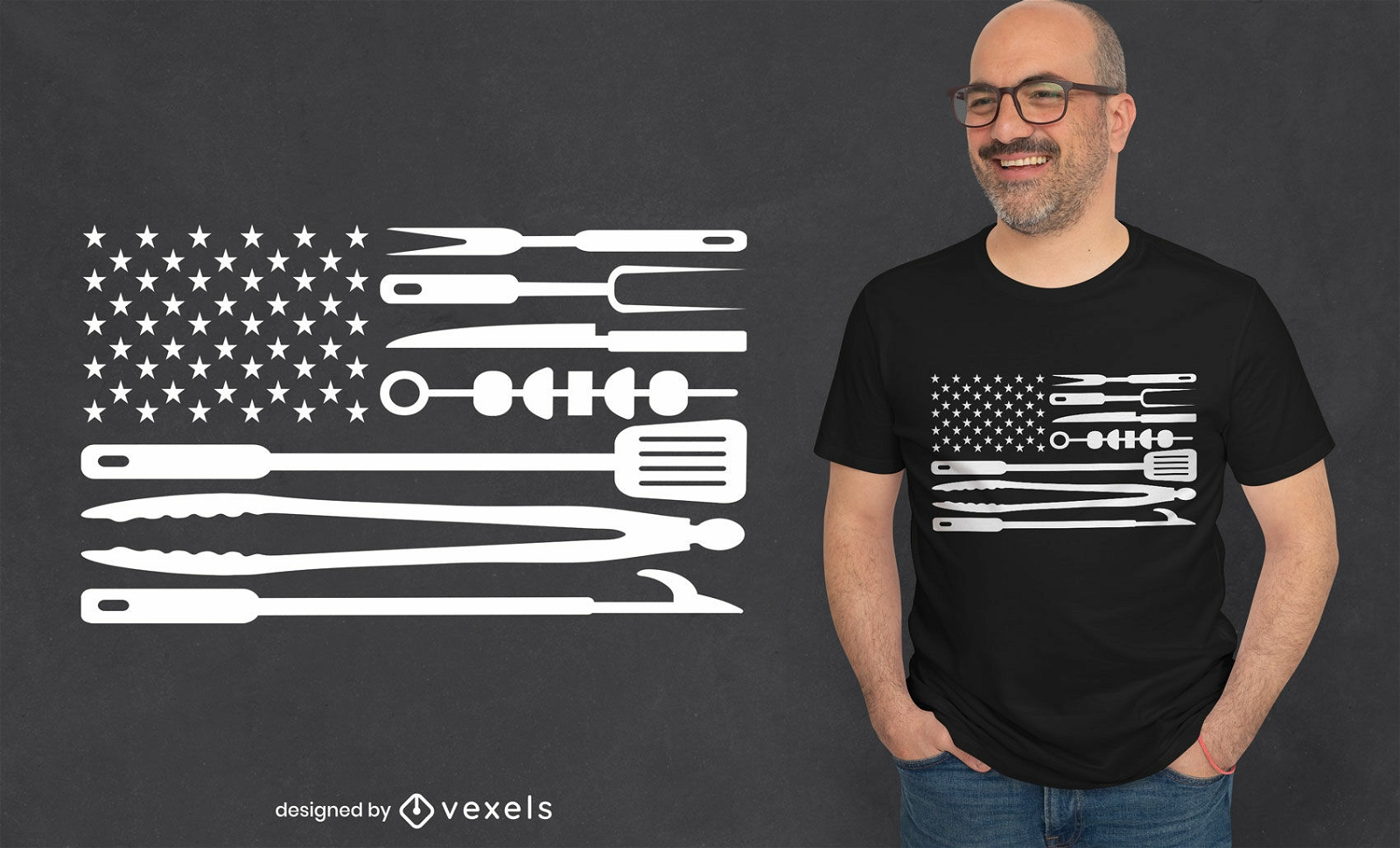
Design de camiseta de ferramentas de churrasco de bandeira americana
Escolha uma pasta
Todos os favoritos
Criar novo
Salvar
Design de camiseta de ferramentas de churrasco de bandeira americana
Premium
Obrigado por comprar no comércio local! (Mensagem com design exclusivo) Desenho PNG
Escolha uma pasta
Todos os favoritos
Criar novo
Salvar
Obrigado por comprar no comércio local! (Mensagem com design exclusivo) Desenho PNG
Gerado por IA, selecionado por nossos designers.
para Merch
Design de camiseta com cita?es religiosas do Rei dos Reis
Escolha uma pasta
Todos os favoritos
Criar novo
Salvar
Design de camiseta com cita?es religiosas do Rei dos Reis
para Merch
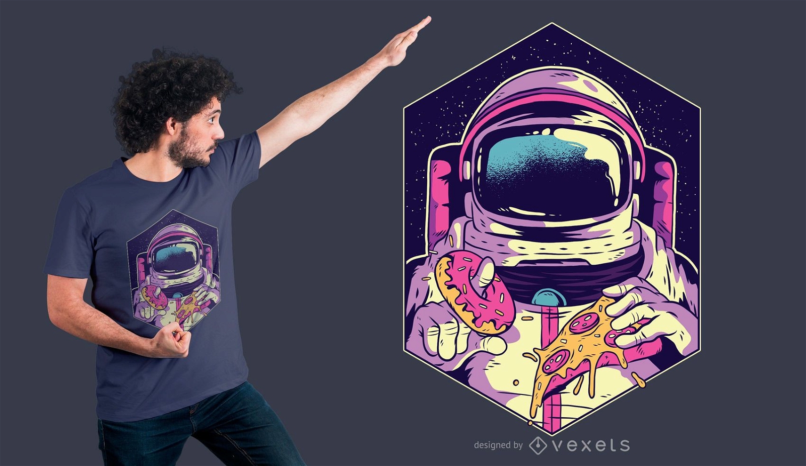
Astronauta comendo rosquinha e pizza design de camiseta
Escolha uma pasta
Todos os favoritos
Criar novo
Salvar
Astronauta comendo rosquinha e pizza design de camiseta
Impulsione seu negócio
Com a plataforma gráfica líder de mercado.
Ver planos
Próxima
do 787
prev page
next page