Biblioteca de design
Novos designs Merch
Camisetas
Vectores
Designs de Merch de Tendência
PNGs & SVGs
Mockups
Modelos de T-Shirt PSD
Explorar Desenhos
Designs KDP
Pôsteres
Canecas
Capas para celular
Sacos de compras
Almofadas
Ferramentas de desenho
Merch Designer
Novo!
Mockup Generator
Gerador de Design de AI
Vetorizador
Quote Generator
T-Shirt Maker (Antigo)
Ajuda
Merch Digest
Blog
Centro de Ajuda
Saiba mais sobre o Merch
Feedback
Soluções Corporativas
Empresa
Acesso à API
Estúdio de Design
Design em Lote
Preços
Carregando...
Inscrever-se
Conecte-se
All
geography
Biblioteca de design
Novos designs Merch
Camisetas
Vectores
Designs de Merch de Tendência
PNGs & SVGs
Mockups
Modelos de T-Shirt PSD
Explorar Desenhos
Designs KDP
Pôsteres
Canecas
Capas para celular
Sacos de compras
Almofadas
Ferramentas de desenho
Merch Designer
Novo!
Mockup Generator
Gerador de Design de AI
Vetorizador
Quote Generator
T-Shirt Maker (Antigo)
Ajuda
Merch Digest
Blog
Centro de Ajuda
Saiba mais sobre o Merch
Feedback
Soluções Corporativas
Empresa
Acesso à API
Estúdio de Design
Design em Lote
PLANOS
All
geography
783 Gráficos e Designs de geography para Camisetas e Merch print on demand
Baixar designs de camisetas e para merch, como capas de livro, capas de celular, tote bags e mais de geography
Relacionado:
geografia
,
mapa geografico
,
entusiastas da geografia
Ordenar por
Mais relevante
Resultados patrocinados da
Ganhe 15% de desconto com o código: VEXELS15
veja mais detalhes
Silhueta realista detalhada da bússola náutica - 7 Desenho PNG
Escolha uma pasta
Todos os favoritos
Criar novo
Salvar
Silhueta realista detalhada da bússola náutica - 7 Desenho PNG
Desenho de globo terrestre fofo Desenho PNG
Escolha uma pasta
Todos os favoritos
Criar novo
Salvar
Desenho de globo terrestre fofo Desenho PNG
Globo terrestre desenhado à mão Desenho PNG
Escolha uma pasta
Todos os favoritos
Criar novo
Salvar
Globo terrestre desenhado à mão Desenho PNG
Ícone de traço de pontos cardeais Desenho PNG
Escolha uma pasta
Todos os favoritos
Criar novo
Salvar
Ícone de traço de pontos cardeais Desenho PNG
Ícone de traço do mapa Desenho PNG
Escolha uma pasta
Todos os favoritos
Criar novo
Salvar
Ícone de traço do mapa Desenho PNG
Premium
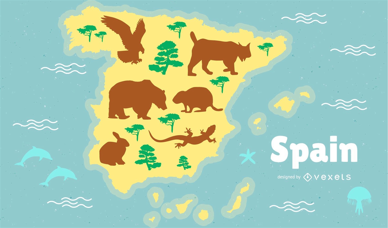
Ilustração do mapa da Espanha
Escolha uma pasta
Todos os favoritos
Criar novo
Salvar
Ilustração do mapa da Espanha
Premium
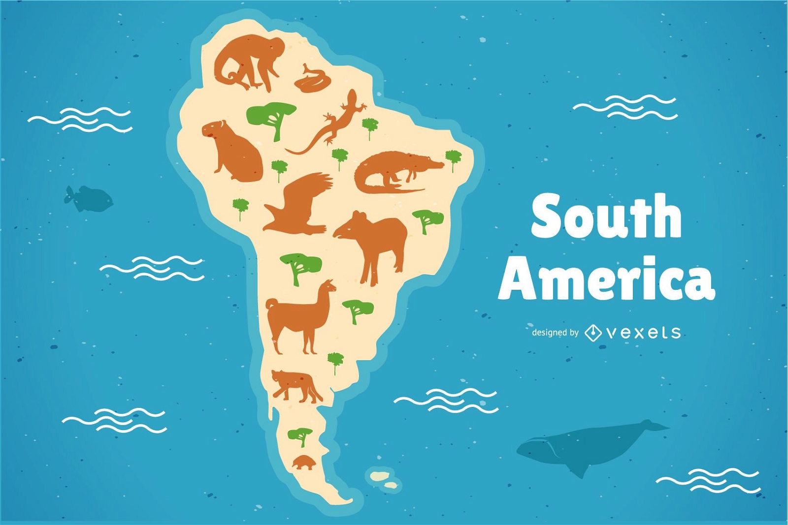
Ilustração do mapa de animais da América do Sul
Escolha uma pasta
Todos os favoritos
Criar novo
Salvar
Ilustração do mapa de animais da América do Sul
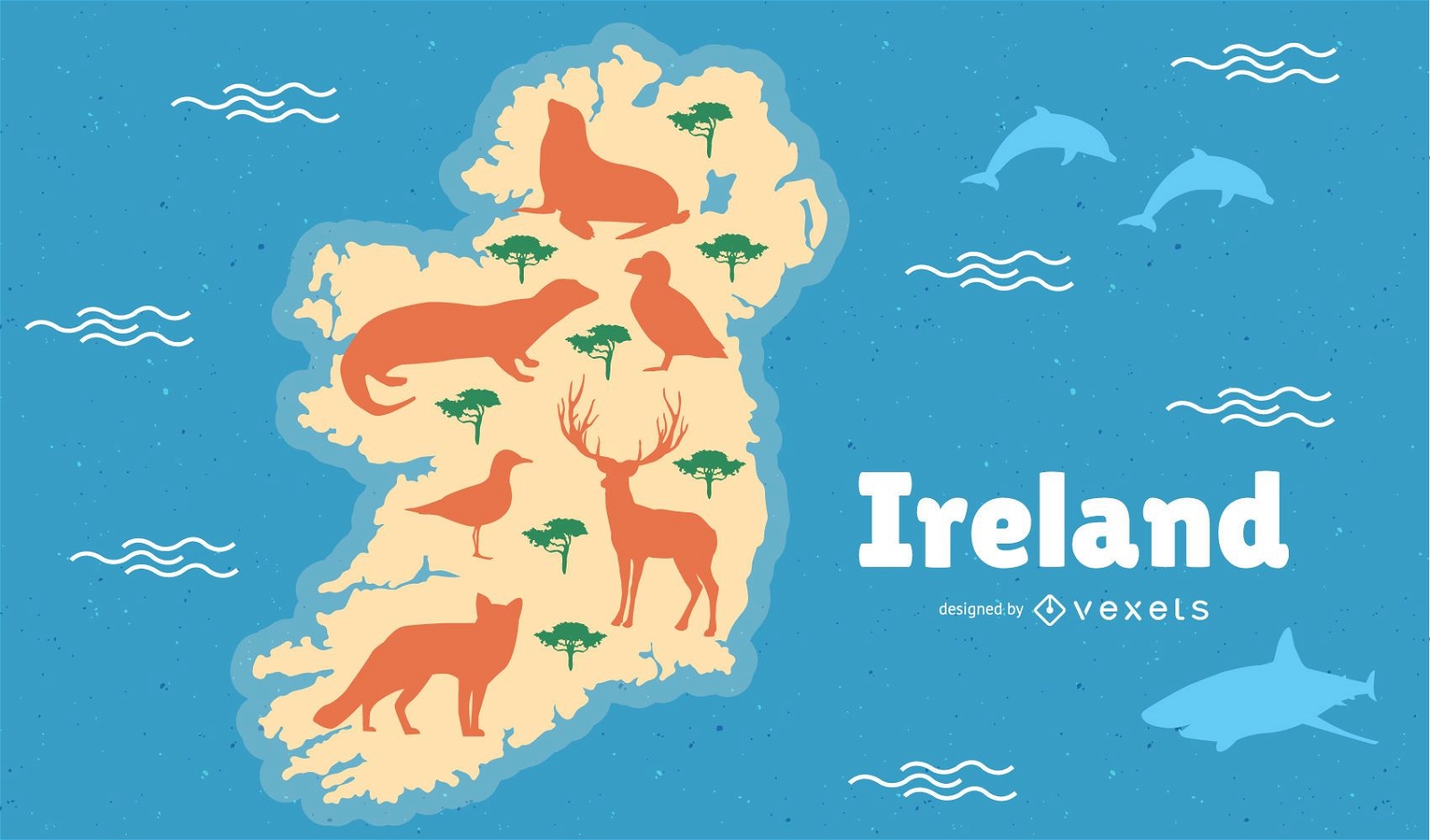
Irlanda com ilustração do mapa de animais
Escolha uma pasta
Todos os favoritos
Criar novo
Salvar
Irlanda com ilustração do mapa de animais
texto editável
Pronto para imprimir
para Merch
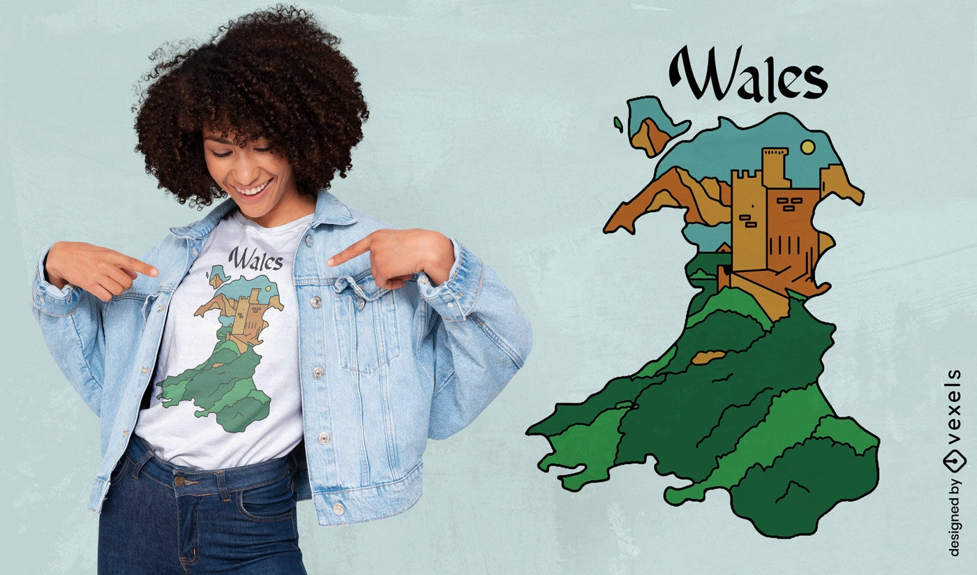
Design de camiseta de mapa e castelo de Gales
Escolha uma pasta
Todos os favoritos
Criar novo
Salvar
Design de camiseta de mapa e castelo de Gales
Premium
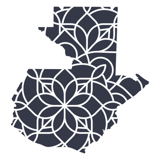
Mapa da mandala da Guatemala Desenho PNG
Escolha uma pasta
Todos os favoritos
Criar novo
Salvar
Mapa da mandala da Guatemala Desenho PNG
Uma silhueta do mapa de Israel Desenho PNG
Escolha uma pasta
Todos os favoritos
Criar novo
Salvar
Uma silhueta do mapa de Israel Desenho PNG
Uma silhueta do mapa do Equador Desenho PNG
Escolha uma pasta
Todos os favoritos
Criar novo
Salvar
Uma silhueta do mapa do Equador Desenho PNG
Mapa de traçado de mandala da Austrália Desenho PNG
Escolha uma pasta
Todos os favoritos
Criar novo
Salvar
Mapa de traçado de mandala da Austrália Desenho PNG
Estados duotônicos da Carolina do Sul Desenho PNG
Escolha uma pasta
Todos os favoritos
Criar novo
Salvar
Estados duotônicos da Carolina do Sul Desenho PNG
Estados duotônicos da Califórnia Desenho PNG
Escolha uma pasta
Todos os favoritos
Criar novo
Salvar
Estados duotônicos da Califórnia Desenho PNG
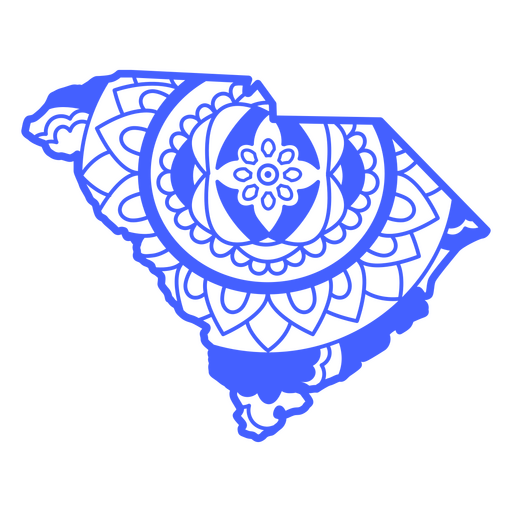
Estados da mandala da Carolina do Sul Desenho PNG
Escolha uma pasta
Todos os favoritos
Criar novo
Salvar
Estados da mandala da Carolina do Sul Desenho PNG
Premium
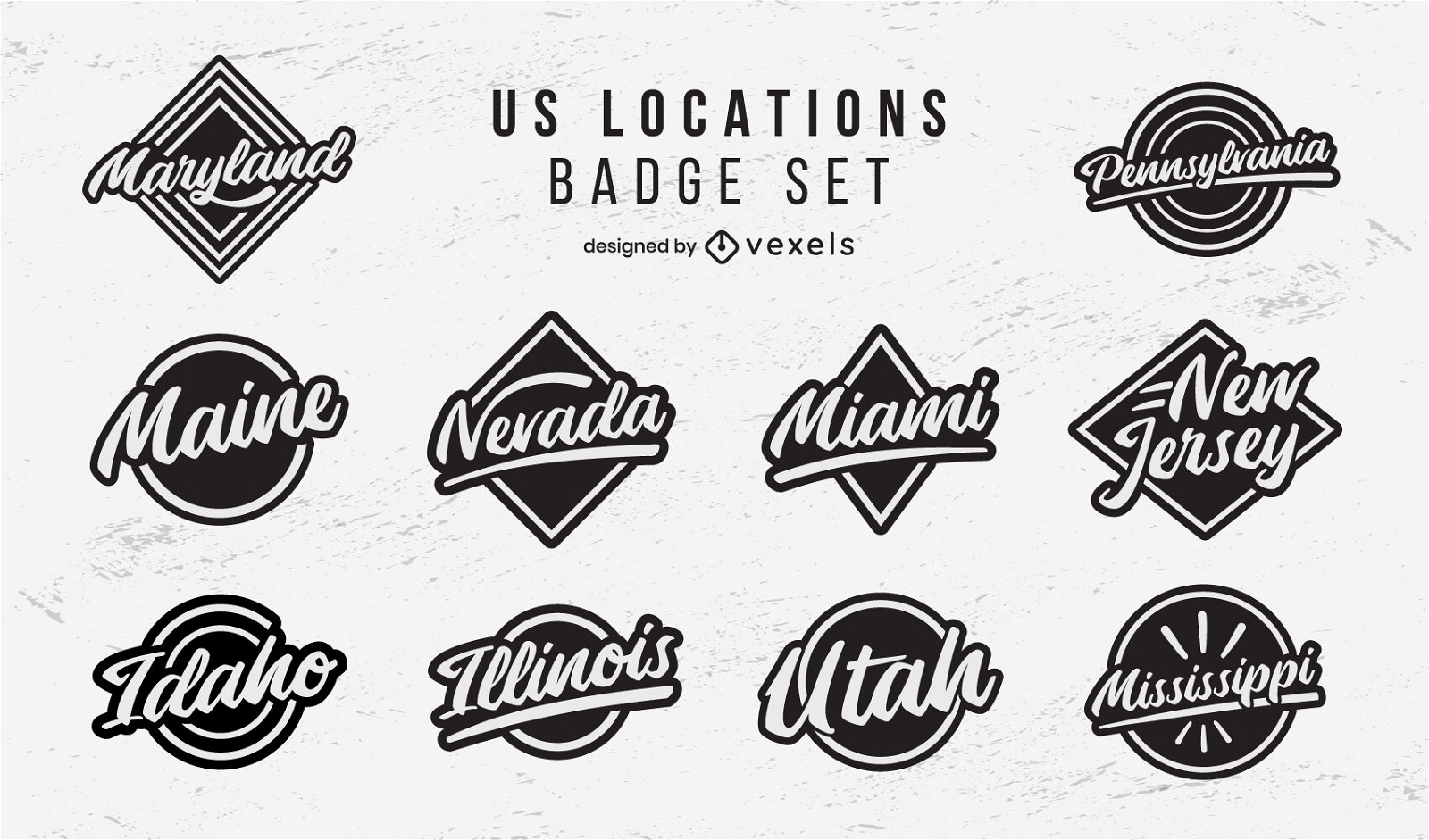
Conjunto de letras de emblemas de locais nos EUA
Escolha uma pasta
Todos os favoritos
Criar novo
Salvar
Conjunto de letras de emblemas de locais nos EUA
Bandeira do país Desenho PNG
Escolha uma pasta
Todos os favoritos
Criar novo
Salvar
Bandeira do país Desenho PNG
ícone plano do globo Desenho PNG
Escolha uma pasta
Todos os favoritos
Criar novo
Salvar
ícone plano do globo Desenho PNG
Premium
Flecha Windrose nord oeste sudeste plana Desenho PNG
Escolha uma pasta
Todos os favoritos
Criar novo
Salvar
Flecha Windrose nord oeste sudeste plana Desenho PNG
Uma silhueta do mapa da Colômbia Desenho PNG
Escolha uma pasta
Todos os favoritos
Criar novo
Salvar
Uma silhueta do mapa da Colômbia Desenho PNG
Estados duotônicos de Washington Desenho PNG
Escolha uma pasta
Todos os favoritos
Criar novo
Salvar
Estados duotônicos de Washington Desenho PNG
Estados duotônicos de Wyoming Desenho PNG
Escolha uma pasta
Todos os favoritos
Criar novo
Salvar
Estados duotônicos de Wyoming Desenho PNG
Estados duotônicos de Connecticut Desenho PNG
Escolha uma pasta
Todos os favoritos
Criar novo
Salvar
Estados duotônicos de Connecticut Desenho PNG
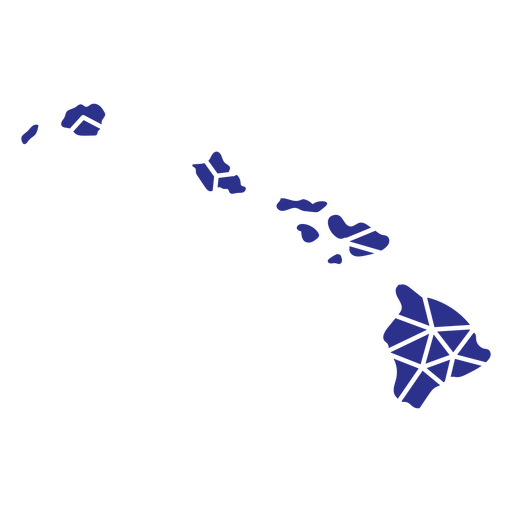
Estados geométricos do Havaí Desenho PNG
Escolha uma pasta
Todos os favoritos
Criar novo
Salvar
Estados geométricos do Havaí Desenho PNG
Premium
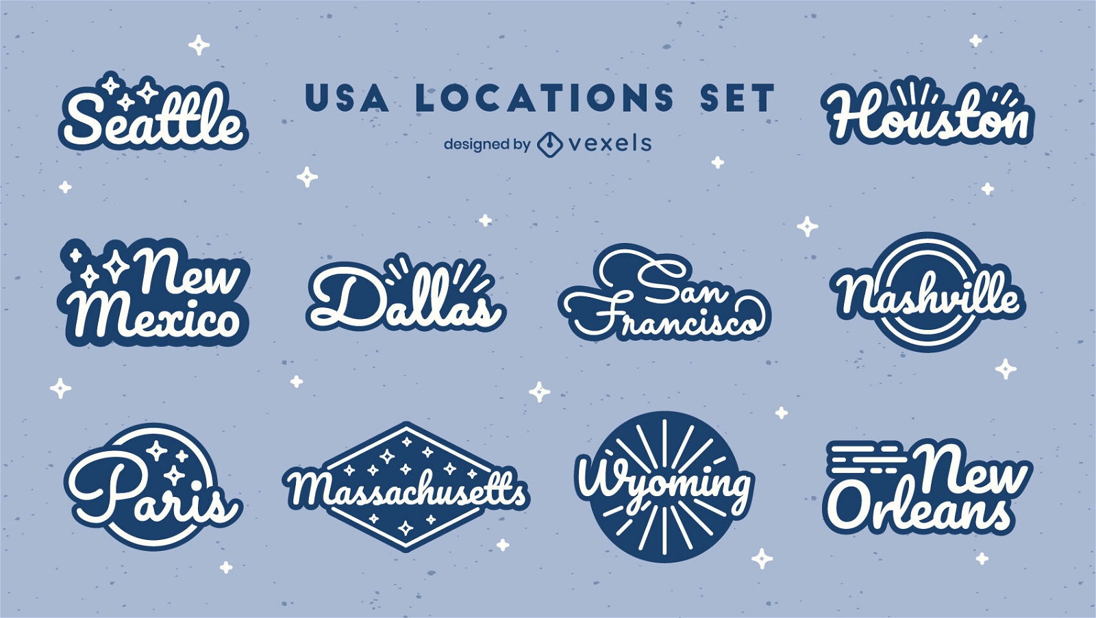
Conjunto de emblemas de letras dos estados dos EUA
Escolha uma pasta
Todos os favoritos
Criar novo
Salvar
Conjunto de emblemas de letras dos estados dos EUA
Decalques de parede-Vinil-CR - 7 Desenho PNG
Escolha uma pasta
Todos os favoritos
Criar novo
Salvar
Decalques de parede-Vinil-CR - 7 Desenho PNG
Premium
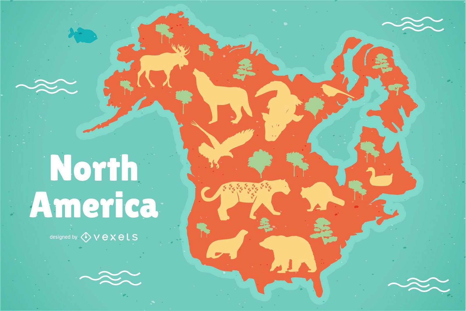
Ilustração do mapa da América do Norte
Escolha uma pasta
Todos os favoritos
Criar novo
Salvar
Ilustração do mapa da América do Norte
Premium
Windrose flecha oeste leste nord sul silhueta Desenho PNG
Escolha uma pasta
Todos os favoritos
Criar novo
Salvar
Windrose flecha oeste leste nord sul silhueta Desenho PNG
Estados duotônicos da Louisiana Desenho PNG
Escolha uma pasta
Todos os favoritos
Criar novo
Salvar
Estados duotônicos da Louisiana Desenho PNG
Estados duotônicos de Nevada Desenho PNG
Escolha uma pasta
Todos os favoritos
Criar novo
Salvar
Estados duotônicos de Nevada Desenho PNG
Estados duotônicos da Geórgia Desenho PNG
Escolha uma pasta
Todos os favoritos
Criar novo
Salvar
Estados duotônicos da Geórgia Desenho PNG
Estados duotônicos de Utah Desenho PNG
Escolha uma pasta
Todos os favoritos
Criar novo
Salvar
Estados duotônicos de Utah Desenho PNG
Estados duotônicos de Illinois Desenho PNG
Escolha uma pasta
Todos os favoritos
Criar novo
Salvar
Estados duotônicos de Illinois Desenho PNG
De volta às aulas - 36 Desenho PNG
Escolha uma pasta
Todos os favoritos
Criar novo
Salvar
De volta às aulas - 36 Desenho PNG
Premium
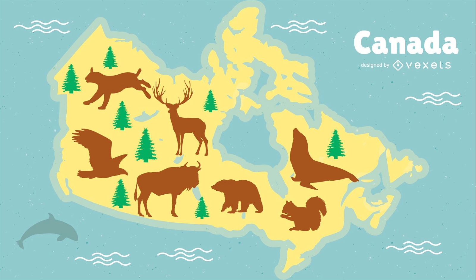
Design do mapa dos animais do Canadá
Escolha uma pasta
Todos os favoritos
Criar novo
Salvar
Design do mapa dos animais do Canadá
Uma silhueta do mapa dos Emirados Árabes Unidos Desenho PNG
Escolha uma pasta
Todos os favoritos
Criar novo
Salvar
Uma silhueta do mapa dos Emirados Árabes Unidos Desenho PNG
Estados da mandala da Carolina do Norte Desenho PNG
Escolha uma pasta
Todos os favoritos
Criar novo
Salvar
Estados da mandala da Carolina do Norte Desenho PNG
Ícone de traço de bússola Desenho PNG
Escolha uma pasta
Todos os favoritos
Criar novo
Salvar
Ícone de traço de bússola Desenho PNG
Premium
O mapa do estado de Oregon em marrom Desenho PNG
Escolha uma pasta
Todos os favoritos
Criar novo
Salvar
O mapa do estado de Oregon em marrom Desenho PNG
Premium
Mapa em estilo mandala em forma de Portugal Desenho PNG
Escolha uma pasta
Todos os favoritos
Criar novo
Salvar
Mapa em estilo mandala em forma de Portugal Desenho PNG
Uma silhueta do mapa da Irlanda Desenho PNG
Escolha uma pasta
Todos os favoritos
Criar novo
Salvar
Uma silhueta do mapa da Irlanda Desenho PNG
Uma silhueta do mapa de Luxemburgo Desenho PNG
Escolha uma pasta
Todos os favoritos
Criar novo
Salvar
Uma silhueta do mapa de Luxemburgo Desenho PNG
Estados duotônicos do Alabama Desenho PNG
Escolha uma pasta
Todos os favoritos
Criar novo
Salvar
Estados duotônicos do Alabama Desenho PNG
Premium
Silhueta do desenho do mapa da França Desenho PNG
Escolha uma pasta
Todos os favoritos
Criar novo
Salvar
Silhueta do desenho do mapa da França Desenho PNG
Premium
Esboço elegante do design do mapa de Taiwan Desenho PNG
Escolha uma pasta
Todos os favoritos
Criar novo
Salvar
Esboço elegante do design do mapa de Taiwan Desenho PNG
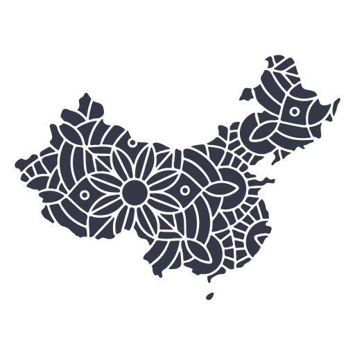
Mandala da silhueta do mapa da China cortada Desenho PNG
Escolha uma pasta
Todos os favoritos
Criar novo
Salvar
Mandala da silhueta do mapa da China cortada Desenho PNG
Premium
Fox com bandeira do Canadá plana Desenho PNG
Escolha uma pasta
Todos os favoritos
Criar novo
Salvar
Fox com bandeira do Canadá plana Desenho PNG
Ícone de seta da bússola Desenho PNG
Escolha uma pasta
Todos os favoritos
Criar novo
Salvar
Ícone de seta da bússola Desenho PNG
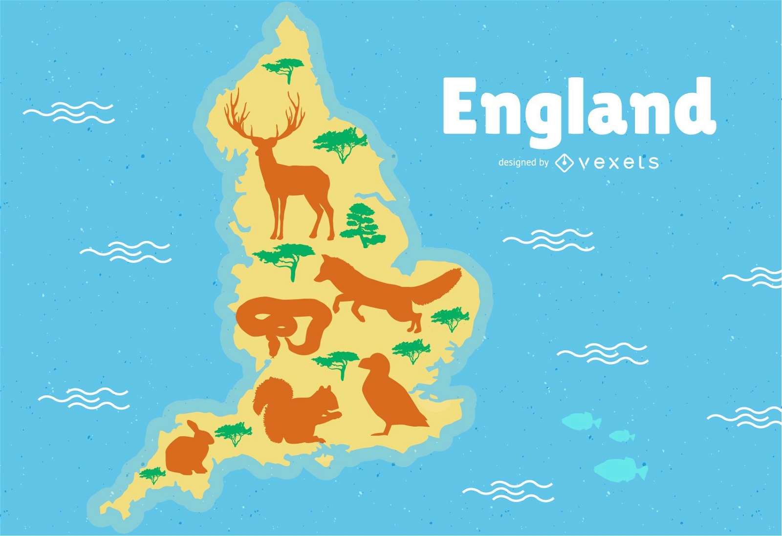
Ilustração do mapa da Inglaterra
Escolha uma pasta
Todos os favoritos
Criar novo
Salvar
Ilustração do mapa da Inglaterra
Impulsione seu negócio
Com a plataforma gráfica líder de mercado.
Ver planos
Próxima
do 16
prev page
next page