Biblioteca de design
Novos designs Merch
Camisetas
Vectores
Designs de Merch de Tendência
PNGs & SVGs
Mockups
Modelos de T-Shirt PSD
Explorar Desenhos
Designs KDP
Pôsteres
Canecas
Capas para celular
Sacos de compras
Almofadas
Ferramentas de desenho
Merch Designer
Novo!
Mockup Generator
Gerador de Design de AI
Vetorizador
Quote Generator
T-Shirt Maker (Antigo)
Ajuda
Merch Digest
Blog
Centro de Ajuda
Saiba mais sobre o Merch
Feedback
Soluções Corporativas
Empresa
Acesso à API
Estúdio de Design
Design em Lote
Preços
Carregando...
Inscrever-se
Conecte-se
All
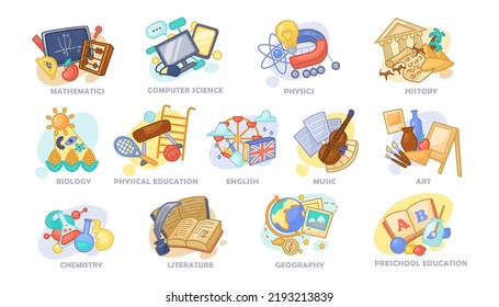
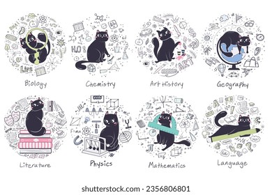
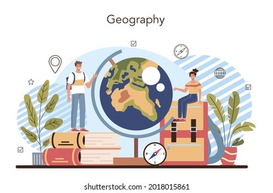
geography
Biblioteca de design
Novos designs Merch
Camisetas
Vectores
Designs de Merch de Tendência
PNGs & SVGs
Mockups
Modelos de T-Shirt PSD
Explorar Desenhos
Designs KDP
Pôsteres
Canecas
Capas para celular
Sacos de compras
Almofadas
Ferramentas de desenho
Merch Designer
Novo!
Mockup Generator
Gerador de Design de AI
Vetorizador
Quote Generator
T-Shirt Maker (Antigo)
Ajuda
Merch Digest
Blog
Centro de Ajuda
Saiba mais sobre o Merch
Feedback
Soluções Corporativas
Empresa
Acesso à API
Estúdio de Design
Design em Lote
PLANOS
All
geography
783 Gráficos e Designs de geography para Camisetas e Merch print on demand
Baixar designs de camisetas e para merch, como capas de livro, capas de celular, tote bags e mais de geography
Relacionado:
geografia
,
mapa geografico
,
entusiastas da geografia
Ordenar por
Mais relevante
Resultados patrocinados da
Ganhe 15% de desconto com o código: VEXELS15
veja mais detalhes
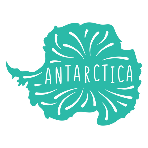
Mapa do Continente Antártico Desenho PNG
Escolha uma pasta
Todos os favoritos
Criar novo
Salvar
Mapa do Continente Antártico Desenho PNG
Estados duotônicos do Alasca Desenho PNG
Escolha uma pasta
Todos os favoritos
Criar novo
Salvar
Estados duotônicos do Alasca Desenho PNG
Silhueta realista detalhada da bússola náutica - 5 Desenho PNG
Escolha uma pasta
Todos os favoritos
Criar novo
Salvar
Silhueta realista detalhada da bússola náutica - 5 Desenho PNG
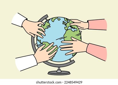
Globo amarelo desenhado à mão Desenho PNG
Escolha uma pasta
Todos os favoritos
Criar novo
Salvar
Globo amarelo desenhado à mão Desenho PNG
Doodle de cor do globo Desenho PNG
Escolha uma pasta
Todos os favoritos
Criar novo
Salvar
Doodle de cor do globo Desenho PNG
Premium
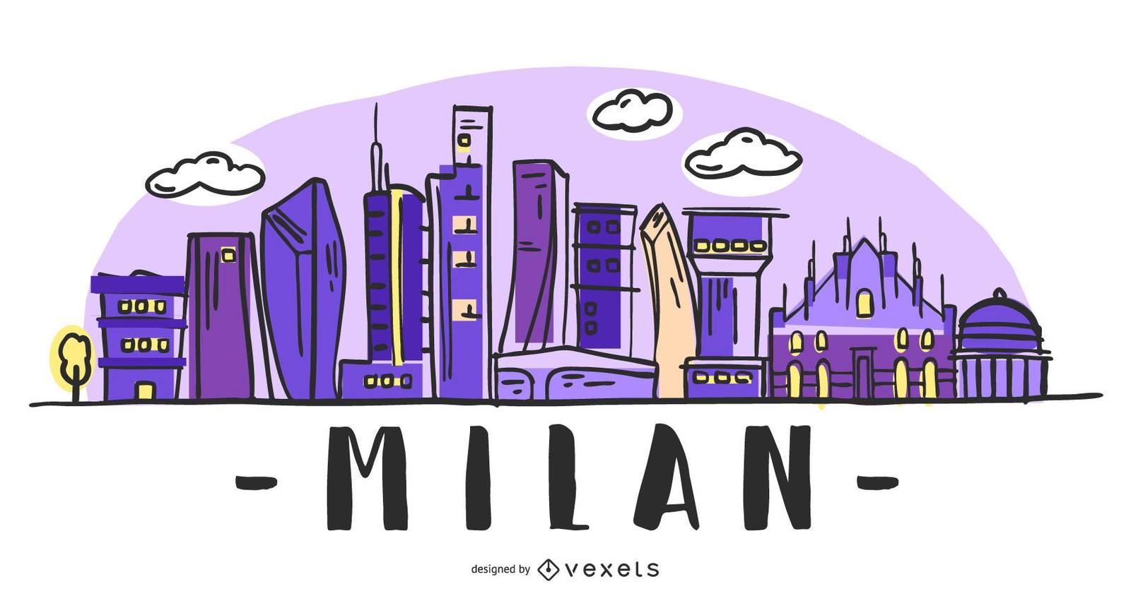
Milão Itália Skyline Design
Escolha uma pasta
Todos os favoritos
Criar novo
Salvar
Milão Itália Skyline Design
Mapa da Mandala da Austrália Desenho PNG
Escolha uma pasta
Todos os favoritos
Criar novo
Salvar
Mapa da Mandala da Austrália Desenho PNG
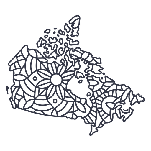
Traço de mandala de silhueta de mapa do Canadá Desenho PNG
Escolha uma pasta
Todos os favoritos
Criar novo
Salvar
Traço de mandala de silhueta de mapa do Canadá Desenho PNG
Traço do ícone do globo terrestre Desenho PNG
Escolha uma pasta
Todos os favoritos
Criar novo
Salvar
Traço do ícone do globo terrestre Desenho PNG
Pessoas de negócio
Escolha uma pasta
Todos os favoritos
Criar novo
Salvar
Pessoas de negócio
Premium
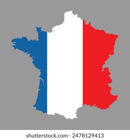
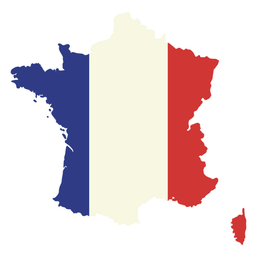
Mapa da França com a bandeira Desenho PNG
Escolha uma pasta
Todos os favoritos
Criar novo
Salvar
Mapa da França com a bandeira Desenho PNG
Estados de traçado de cor da Virgínia Ocidental Desenho PNG
Escolha uma pasta
Todos os favoritos
Criar novo
Salvar
Estados de traçado de cor da Virgínia Ocidental Desenho PNG
Estados de traçado de cores de Oklahoma Desenho PNG
Escolha uma pasta
Todos os favoritos
Criar novo
Salvar
Estados de traçado de cores de Oklahoma Desenho PNG
Premium
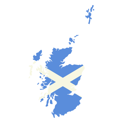
Mapa da Escócia com a bandeira da Escócia Desenho PNG
Escolha uma pasta
Todos os favoritos
Criar novo
Salvar
Mapa da Escócia com a bandeira da Escócia Desenho PNG
Premium
Mapa da Austrália com a bandeira australiana Desenho PNG
Escolha uma pasta
Todos os favoritos
Criar novo
Salvar
Mapa da Austrália com a bandeira australiana Desenho PNG
Premium
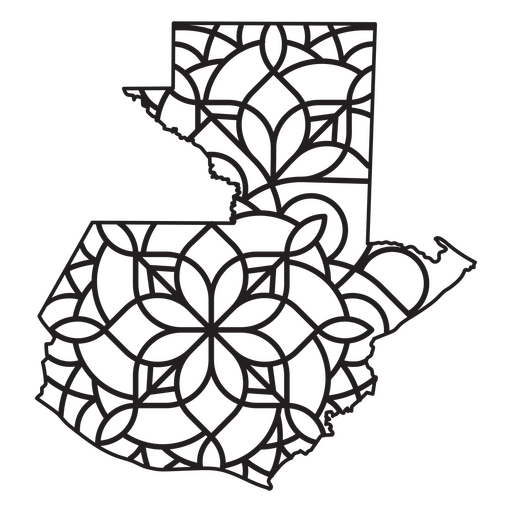
Mapa em estilo mandala em forma de Guatemala Desenho PNG
Escolha uma pasta
Todos os favoritos
Criar novo
Salvar
Mapa em estilo mandala em forma de Guatemala Desenho PNG
Uma silhueta do mapa da Islândia Desenho PNG
Escolha uma pasta
Todos os favoritos
Criar novo
Salvar
Uma silhueta do mapa da Islândia Desenho PNG
Uma silhueta do mapa da Guatemala Desenho PNG
Escolha uma pasta
Todos os favoritos
Criar novo
Salvar
Uma silhueta do mapa da Guatemala Desenho PNG
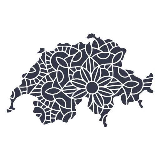
Mandala da silhueta do mapa da Suíça cortada Desenho PNG
Escolha uma pasta
Todos os favoritos
Criar novo
Salvar
Mandala da silhueta do mapa da Suíça cortada Desenho PNG
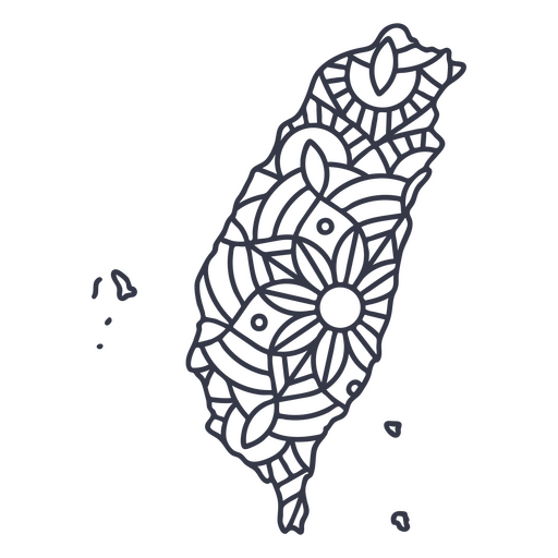
Curso de mandala de silhueta de mapa de Taiwan Desenho PNG
Escolha uma pasta
Todos os favoritos
Criar novo
Salvar
Curso de mandala de silhueta de mapa de Taiwan Desenho PNG
Projeto do coração do mapa da cidade Desenho PNG
Escolha uma pasta
Todos os favoritos
Criar novo
Salvar
Projeto do coração do mapa da cidade Desenho PNG
Estados duotônicos de Ohio Desenho PNG
Escolha uma pasta
Todos os favoritos
Criar novo
Salvar
Estados duotônicos de Ohio Desenho PNG
Estados de traçado de cor de Dakota do Sul Desenho PNG
Escolha uma pasta
Todos os favoritos
Criar novo
Salvar
Estados de traçado de cor de Dakota do Sul Desenho PNG
Estados geométricos de Indiana Desenho PNG
Escolha uma pasta
Todos os favoritos
Criar novo
Salvar
Estados geométricos de Indiana Desenho PNG
Estados da mandala de Ohio Desenho PNG
Escolha uma pasta
Todos os favoritos
Criar novo
Salvar
Estados da mandala de Ohio Desenho PNG
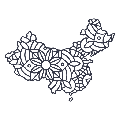
Curso de mandala de silhueta de mapa da China Desenho PNG
Escolha uma pasta
Todos os favoritos
Criar novo
Salvar
Curso de mandala de silhueta de mapa da China Desenho PNG
Premium
Flecha Windrose sudoeste leste silhueta nord Desenho PNG
Escolha uma pasta
Todos os favoritos
Criar novo
Salvar
Flecha Windrose sudoeste leste silhueta nord Desenho PNG
Premium
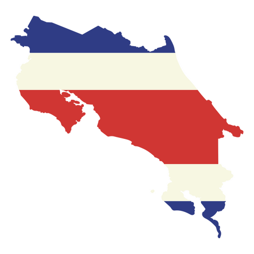
O mapa da costa rica com a bandeira Desenho PNG
Escolha uma pasta
Todos os favoritos
Criar novo
Salvar
O mapa da costa rica com a bandeira Desenho PNG
Mapa do curso do continente antártico Desenho PNG
Escolha uma pasta
Todos os favoritos
Criar novo
Salvar
Mapa do curso do continente antártico Desenho PNG
Estados duotônicos de Kentucky Desenho PNG
Escolha uma pasta
Todos os favoritos
Criar novo
Salvar
Estados duotônicos de Kentucky Desenho PNG
Premium
Silhueta elegante do design do mapa do Japão Desenho PNG
Escolha uma pasta
Todos os favoritos
Criar novo
Salvar
Silhueta elegante do design do mapa do Japão Desenho PNG
Pronto para imprimir
para Merch
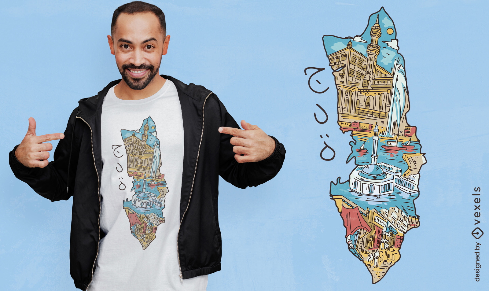
Design de camiseta com paisagem da Arábia Saudita
Escolha uma pasta
Todos os favoritos
Criar novo
Salvar
Design de camiseta com paisagem da Arábia Saudita
Uma silhueta do mapa do Chile Desenho PNG
Escolha uma pasta
Todos os favoritos
Criar novo
Salvar
Uma silhueta do mapa do Chile Desenho PNG
Uma silhueta do mapa da Bélgica Desenho PNG
Escolha uma pasta
Todos os favoritos
Criar novo
Salvar
Uma silhueta do mapa da Bélgica Desenho PNG
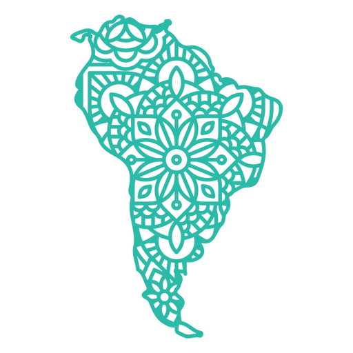
Mapa da América do Sul Mandala Desenho PNG
Escolha uma pasta
Todos os favoritos
Criar novo
Salvar
Mapa da América do Sul Mandala Desenho PNG
Estados duotônicos de Nova Jersey Desenho PNG
Escolha uma pasta
Todos os favoritos
Criar novo
Salvar
Estados duotônicos de Nova Jersey Desenho PNG
Estados de traçado de cores do Nebraska Desenho PNG
Escolha uma pasta
Todos os favoritos
Criar novo
Salvar
Estados de traçado de cores do Nebraska Desenho PNG
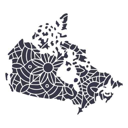
Mandala da silhueta do mapa do Canadá cortada Desenho PNG
Escolha uma pasta
Todos os favoritos
Criar novo
Salvar
Mandala da silhueta do mapa do Canadá cortada Desenho PNG
Decalques de parede-Vinil-CR - 5 Desenho PNG
Escolha uma pasta
Todos os favoritos
Criar novo
Salvar
Decalques de parede-Vinil-CR - 5 Desenho PNG
Premium
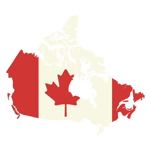
Mapa do Canadá com a bandeira canadense Desenho PNG
Escolha uma pasta
Todos os favoritos
Criar novo
Salvar
Mapa do Canadá com a bandeira canadense Desenho PNG
Premium
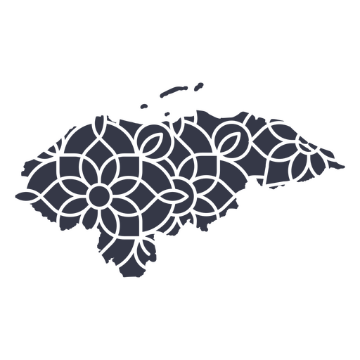
Mapa mandala de Honduras Desenho PNG
Escolha uma pasta
Todos os favoritos
Criar novo
Salvar
Mapa mandala de Honduras Desenho PNG
Uma silhueta do mapa do Brasil Desenho PNG
Escolha uma pasta
Todos os favoritos
Criar novo
Salvar
Uma silhueta do mapa do Brasil Desenho PNG
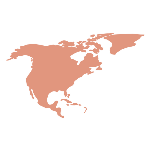
Silhueta do mapa da América do Norte Desenho PNG
Escolha uma pasta
Todos os favoritos
Criar novo
Salvar
Silhueta do mapa da América do Norte Desenho PNG
Estados duotônicos de Minnesota Desenho PNG
Escolha uma pasta
Todos os favoritos
Criar novo
Salvar
Estados duotônicos de Minnesota Desenho PNG
Estados de traçado de cor de Nova York Desenho PNG
Escolha uma pasta
Todos os favoritos
Criar novo
Salvar
Estados de traçado de cor de Nova York Desenho PNG
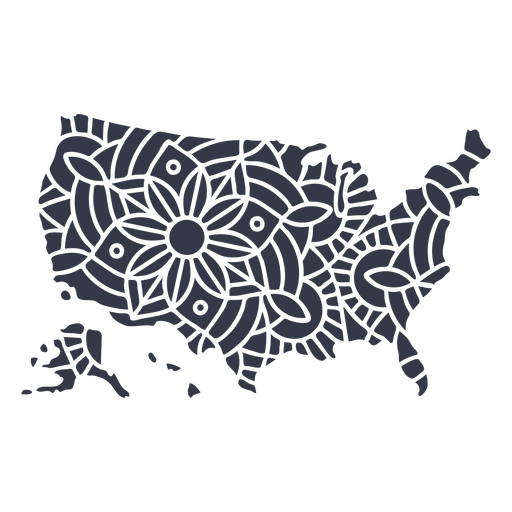
Mandala de silhueta de mapa dos EUA cortada Desenho PNG
Escolha uma pasta
Todos os favoritos
Criar novo
Salvar
Mandala de silhueta de mapa dos EUA cortada Desenho PNG
Premium
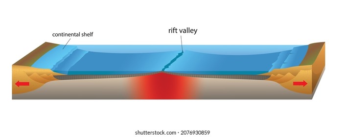
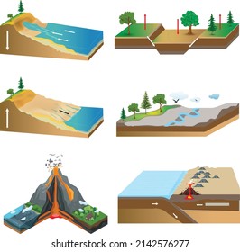
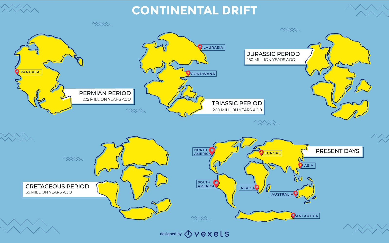
Desenho de ilustração de deriva continental
Escolha uma pasta
Todos os favoritos
Criar novo
Salvar
Desenho de ilustração de deriva continental
Bandeira belga desenhada à mão Desenho PNG
Escolha uma pasta
Todos os favoritos
Criar novo
Salvar
Bandeira belga desenhada à mão Desenho PNG
Ilustração do globo escolar Desenho PNG
Escolha uma pasta
Todos os favoritos
Criar novo
Salvar
Ilustração do globo escolar Desenho PNG
Conteúdo em alemão
Premium
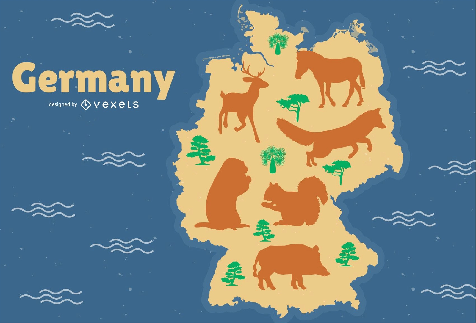
Ilustração do mapa animal da Alemanha
Escolha uma pasta
Todos os favoritos
Criar novo
Salvar
Ilustração do mapa animal da Alemanha
Impulsione seu negócio
Com a plataforma gráfica líder de mercado.
Ver planos
Próxima
do 16
prev page
next page