Biblioteca de design
Novos designs Merch
Camisetas
Vectores
Designs de Merch de Tendência
PNGs & SVGs
Mockups
Modelos de T-Shirt PSD
Explorar Desenhos
Designs KDP
Pôsteres
Canecas
Capas para celular
Sacos de compras
Almofadas
Ferramentas de desenho
Merch Designer
Novo!
Mockup Generator
Gerador de Design de AI
Vetorizador
Quote Generator
T-Shirt Maker (Antigo)
Ajuda
Merch Digest
Blog
Centro de Ajuda
Saiba mais sobre o Merch
Feedback
Soluções Corporativas
Empresa
Acesso à API
Estúdio de Design
Design em Lote
Preços
Carregando...
Inscrever-se
Conecte-se
All
guerrero
Biblioteca de design
Novos designs Merch
Camisetas
Vectores
Designs de Merch de Tendência
PNGs & SVGs
Mockups
Modelos de T-Shirt PSD
Explorar Desenhos
Designs KDP
Pôsteres
Canecas
Capas para celular
Sacos de compras
Almofadas
Ferramentas de desenho
Merch Designer
Novo!
Mockup Generator
Gerador de Design de AI
Vetorizador
Quote Generator
T-Shirt Maker (Antigo)
Ajuda
Merch Digest
Blog
Centro de Ajuda
Saiba mais sobre o Merch
Feedback
Soluções Corporativas
Empresa
Acesso à API
Estúdio de Design
Design em Lote
PLANOS
All
guerrero
747 Gráficos e Designs de guerrero para Camisetas e Merch print on demand
Baixar designs de camisetas e para merch, como capas de livro, capas de celular, tote bags e mais de guerrero
Ordenar por
Mais relevante
Resultados patrocinados da
Ganhe 15% de desconto com o código: VEXELS15
veja mais detalhes
Premium
Ilustração de um guerreiro de desenho animado com uma bandeira. Desenho PNG
Escolha uma pasta
Todos os favoritos
Criar novo
Salvar
Ilustração de um guerreiro de desenho animado com uma bandeira. Desenho PNG
Premium
Desenho de guerreiro Namaste Desenho PNG
Escolha uma pasta
Todos os favoritos
Criar novo
Salvar
Desenho de guerreiro Namaste Desenho PNG
Pronto para imprimir
para Merch
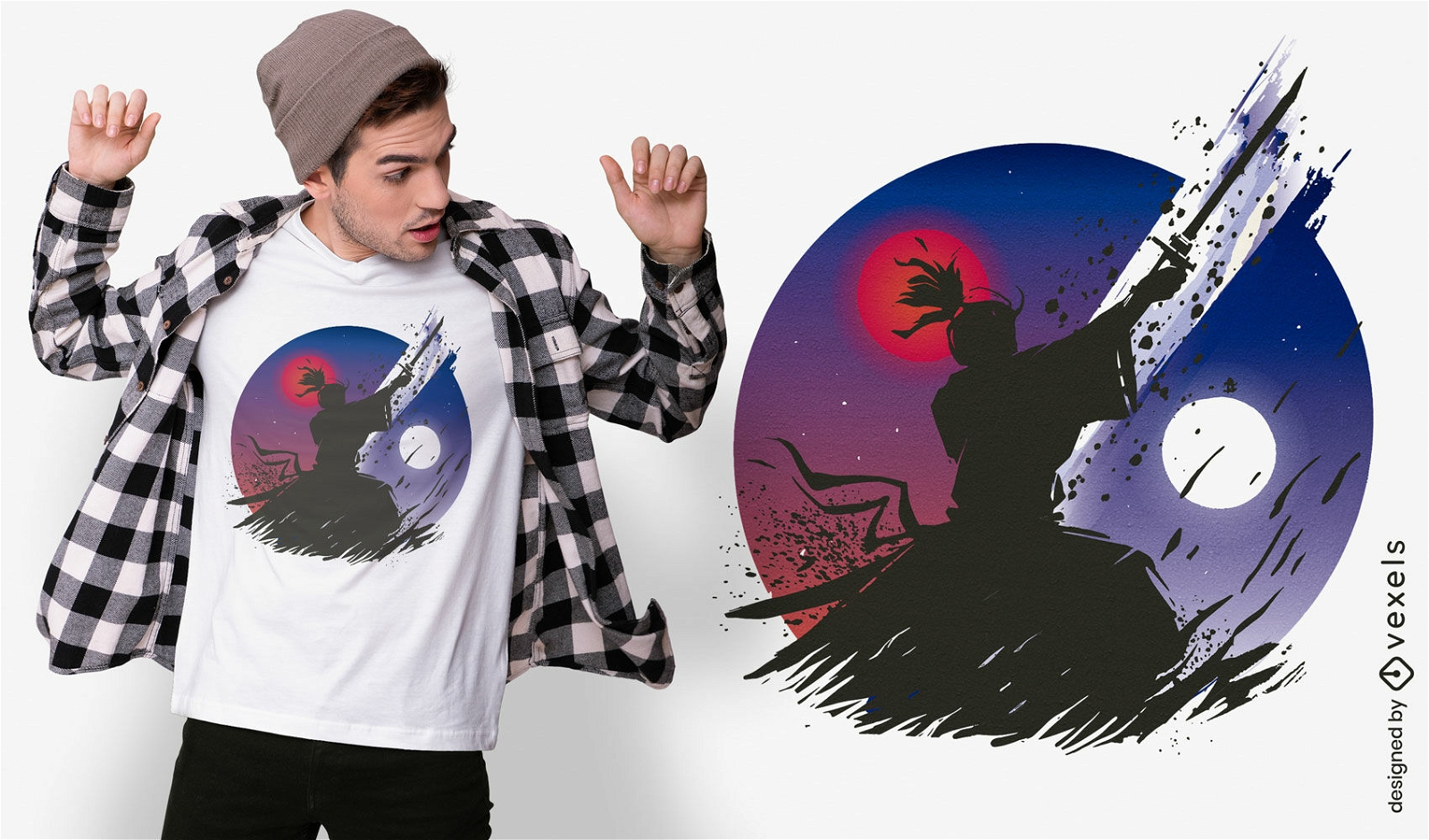
Guerreiro samurai sob design de t-shirt da lua
Escolha uma pasta
Todos os favoritos
Criar novo
Salvar
Guerreiro samurai sob design de t-shirt da lua
Pronto para imprimir
para Merch
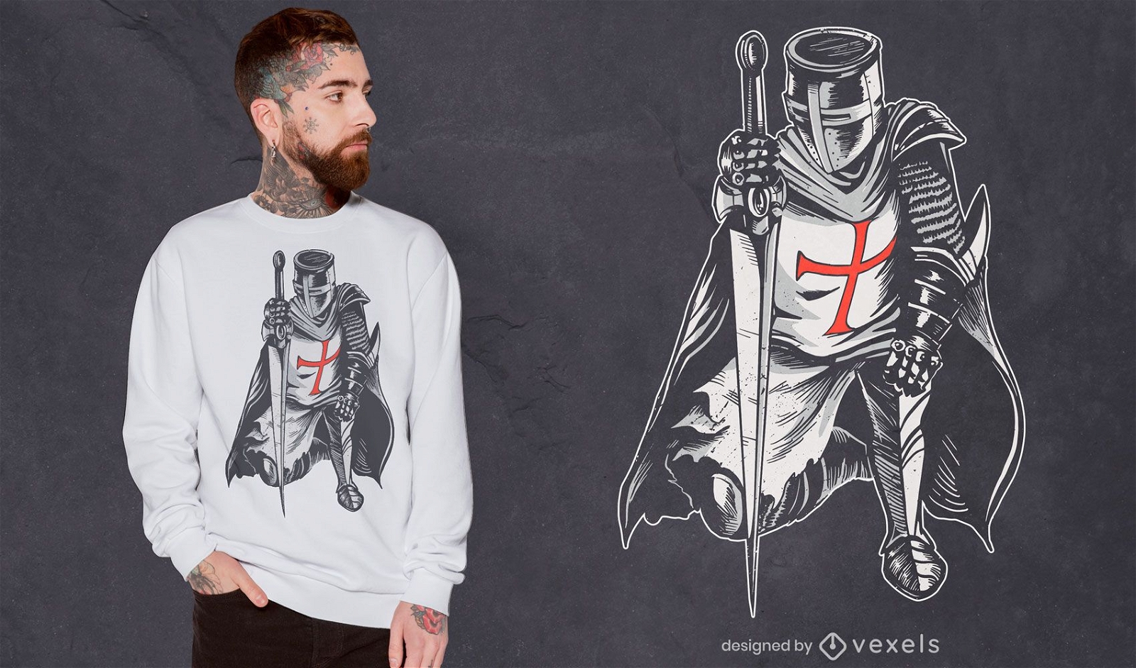
Desenho de camiseta de cavaleiro guerreiro em armadura
Escolha uma pasta
Todos os favoritos
Criar novo
Salvar
Desenho de camiseta de cavaleiro guerreiro em armadura
Pronto para imprimir
para Merch
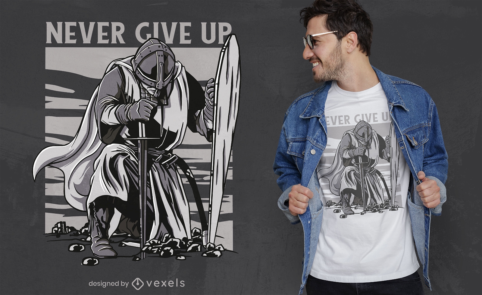
Desenho de t-shirt Knight Warrior ajoelhe-se
Escolha uma pasta
Todos os favoritos
Criar novo
Salvar
Desenho de t-shirt Knight Warrior ajoelhe-se
Pronto para imprimir
para Merch
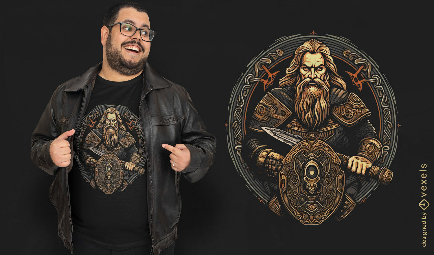
Design de camiseta com ilustração de guerreiro viking
Escolha uma pasta
Todos os favoritos
Criar novo
Salvar
Design de camiseta com ilustração de guerreiro viking
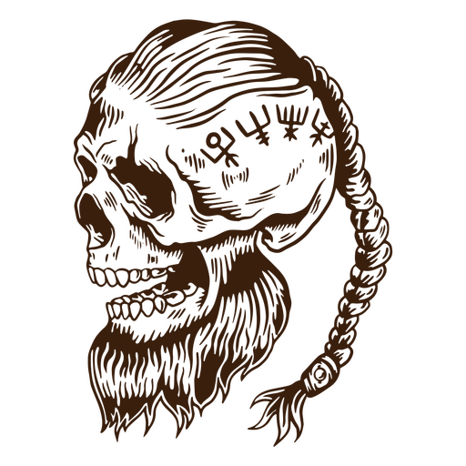
Crânio de guerreiro de povo nórdico viking Desenho PNG
Escolha uma pasta
Todos os favoritos
Criar novo
Salvar
Crânio de guerreiro de povo nórdico viking Desenho PNG
Pronto para imprimir
para Merch
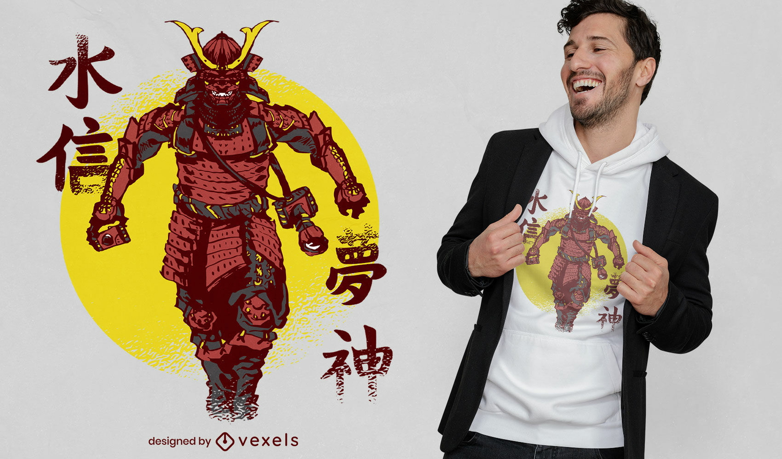
Design de camiseta de fotógrafo guerreiro samurai
Escolha uma pasta
Todos os favoritos
Criar novo
Salvar
Design de camiseta de fotógrafo guerreiro samurai
Pronto para imprimir
para Merch
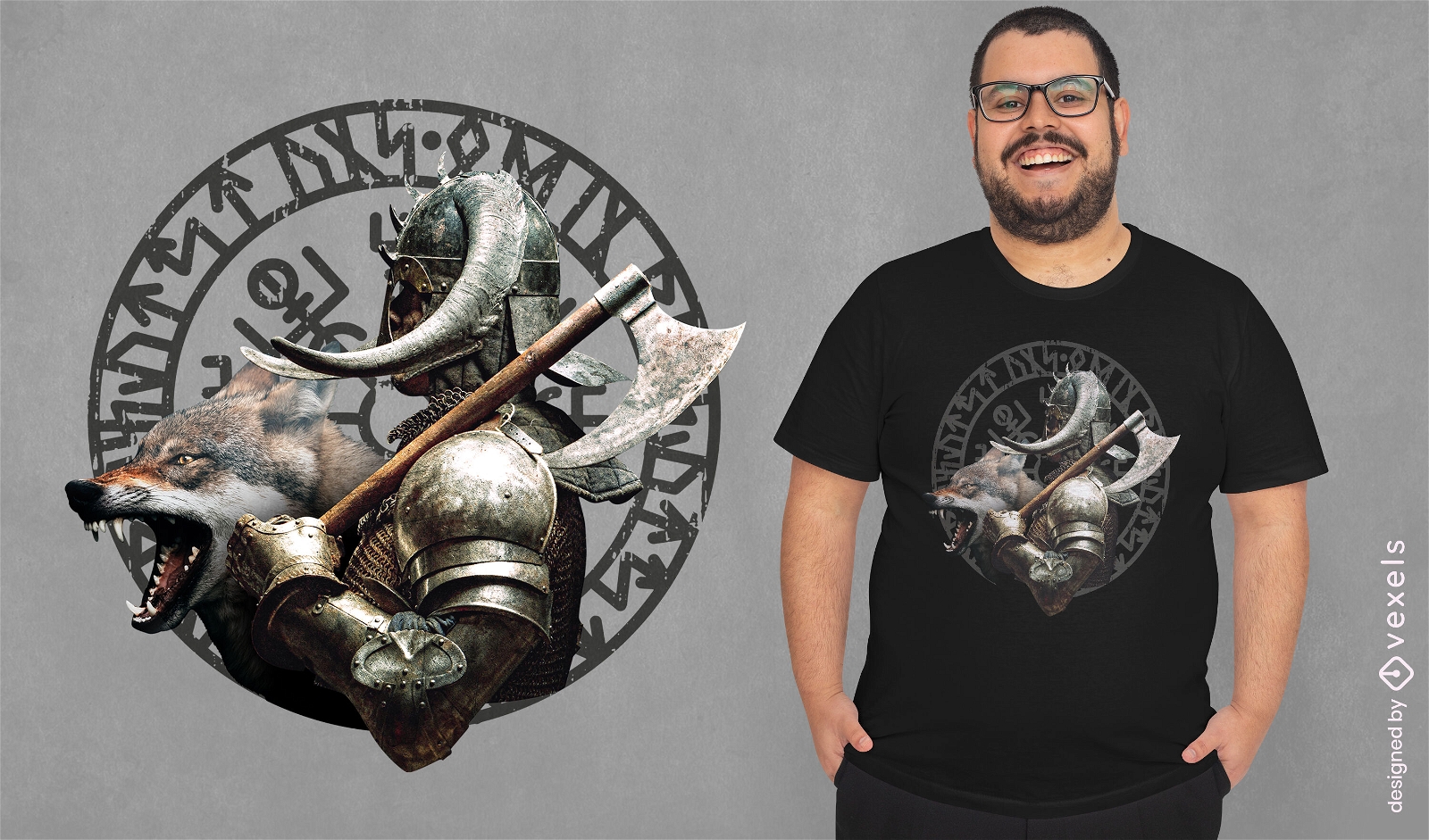
Camiseta de guerreiro e lobo viking psd
Escolha uma pasta
Todos os favoritos
Criar novo
Salvar
Camiseta de guerreiro e lobo viking psd
Pronto para imprimir
para Merch
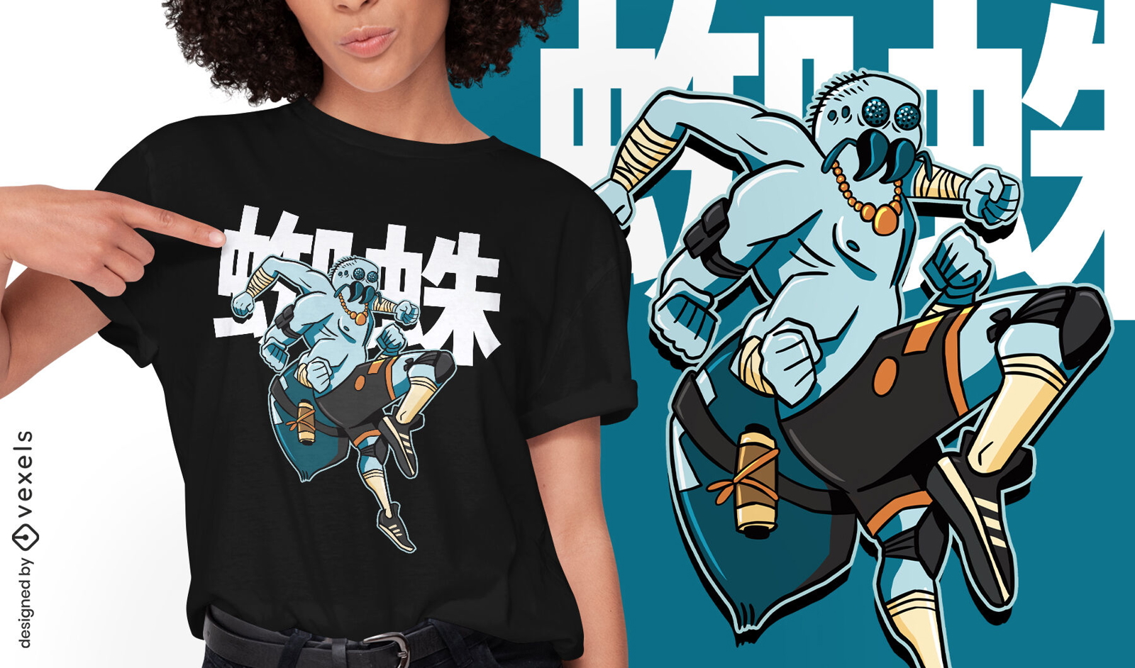
Design de camiseta de guerreiro samurai de aranha
Escolha uma pasta
Todos os favoritos
Criar novo
Salvar
Design de camiseta de guerreiro samurai de aranha
texto editável
Pronto para imprimir
para Merch
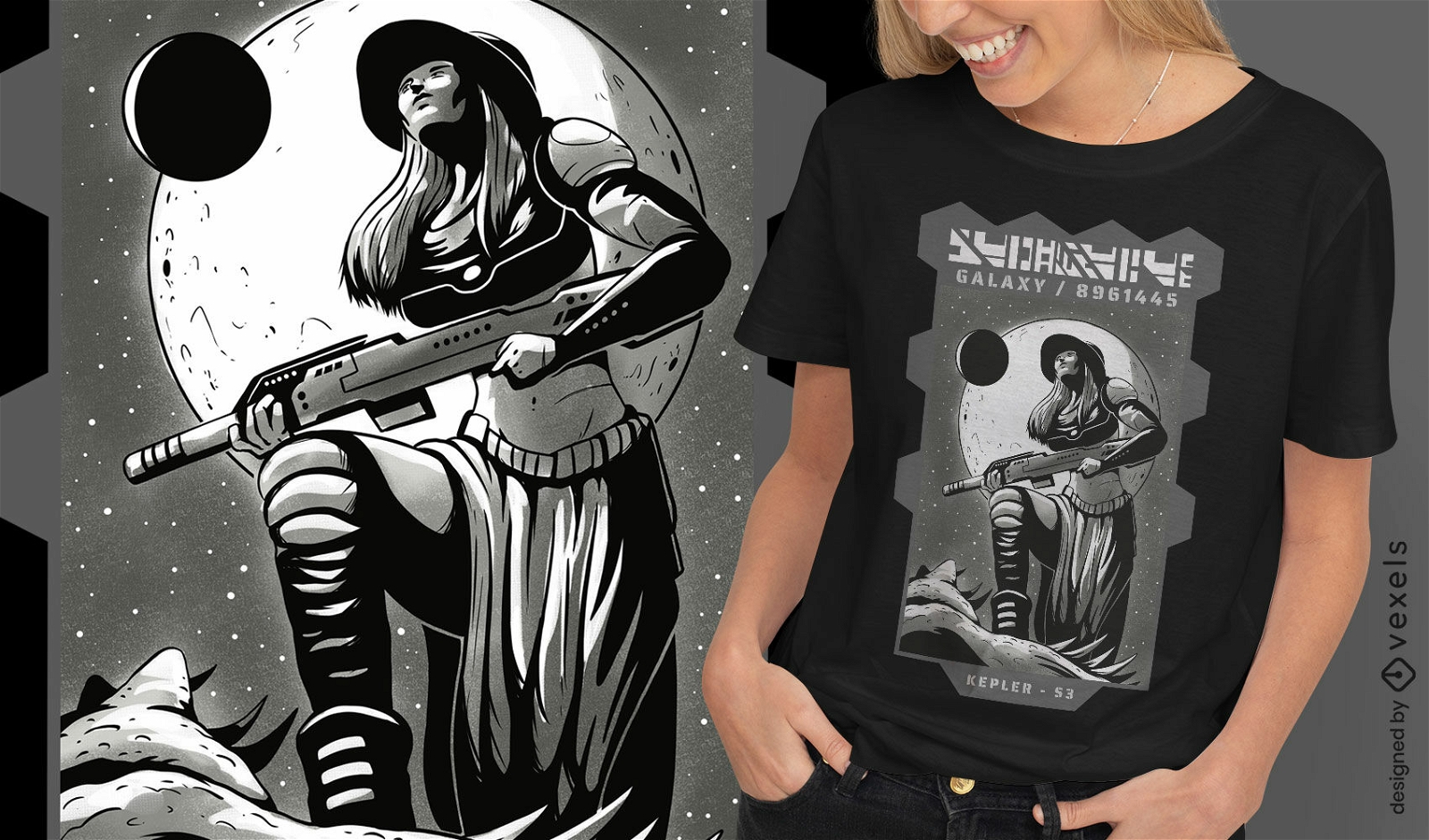
Design de camiseta de guerreiro espacial
Escolha uma pasta
Todos os favoritos
Criar novo
Salvar
Design de camiseta de guerreiro espacial
Pronto para imprimir
para Merch
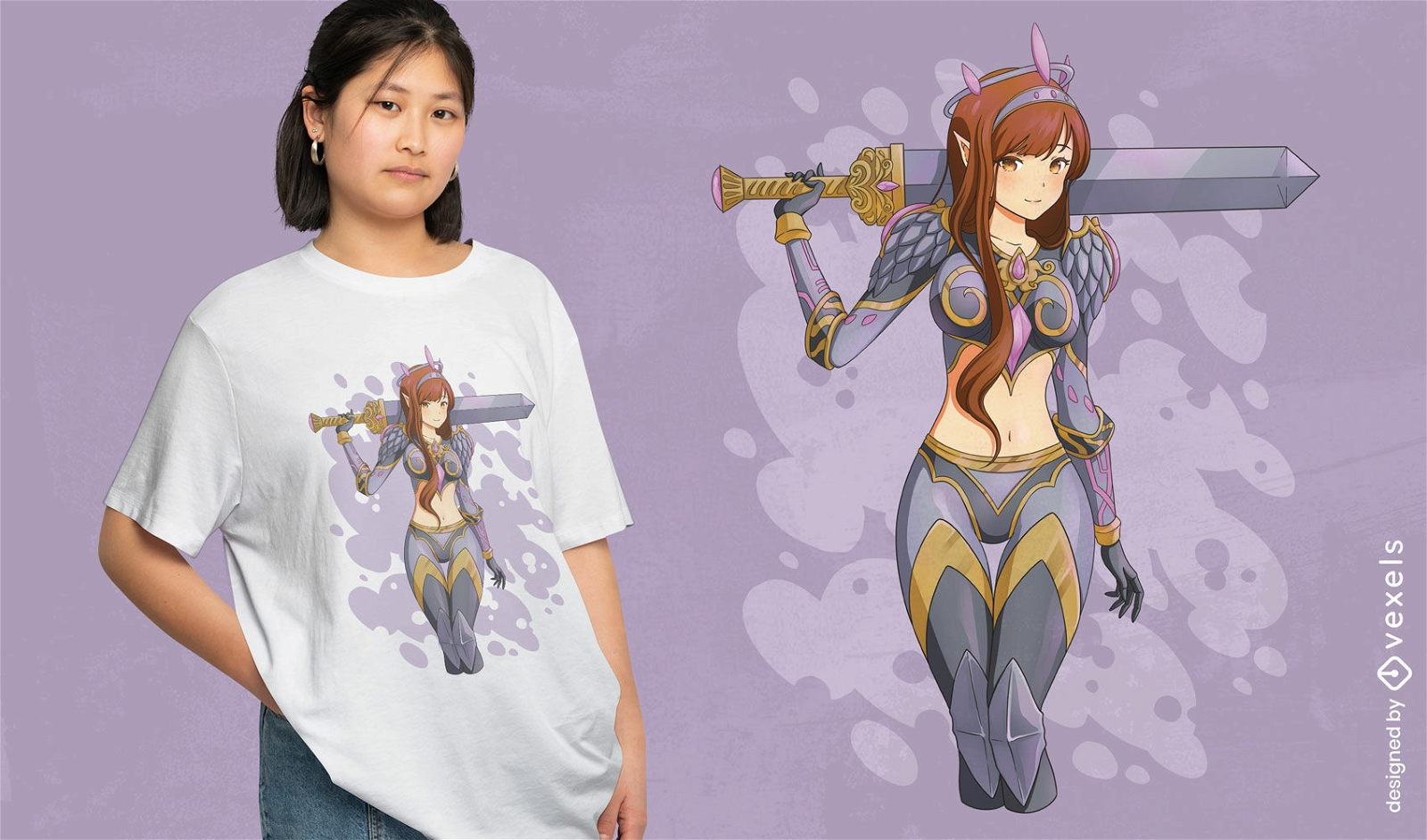
Design de camiseta de anime de guerreira elf
Escolha uma pasta
Todos os favoritos
Criar novo
Salvar
Design de camiseta de anime de guerreira elf
Pronto para imprimir
para Merch
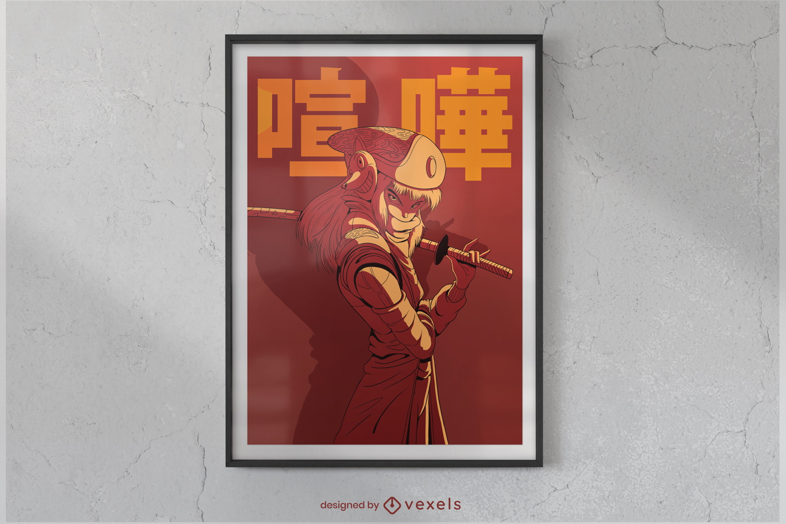
Design de cartaz de guerreiro de batalha de anime
Escolha uma pasta
Todos os favoritos
Criar novo
Salvar
Design de cartaz de guerreiro de batalha de anime
Premium
Silhueta de pose de ioga Warrior ii Desenho PNG
Escolha uma pasta
Todos os favoritos
Criar novo
Salvar
Silhueta de pose de ioga Warrior ii Desenho PNG
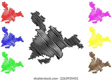
Premium
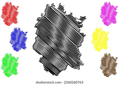
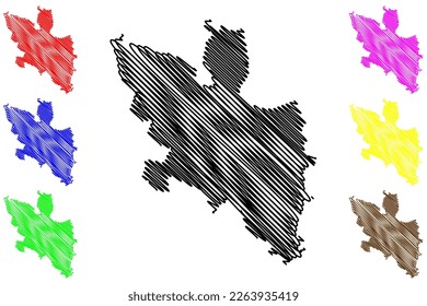
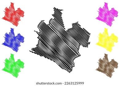
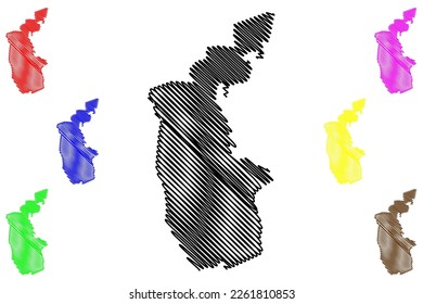
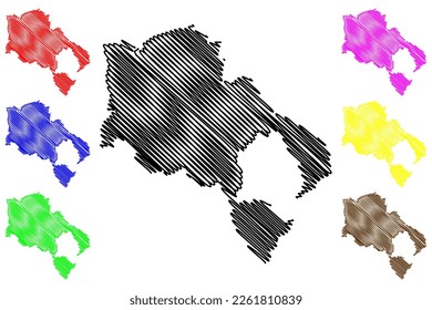
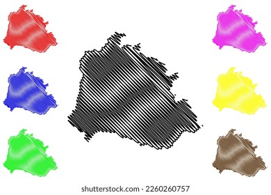
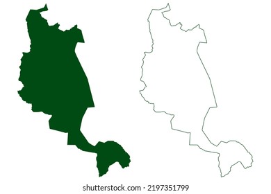
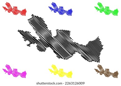
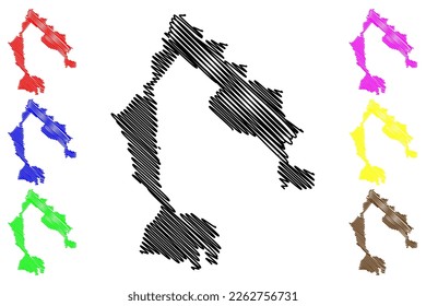
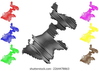
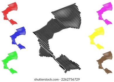
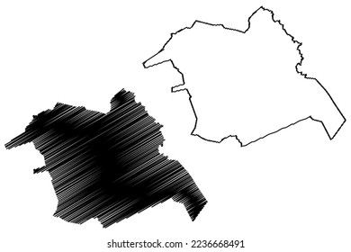
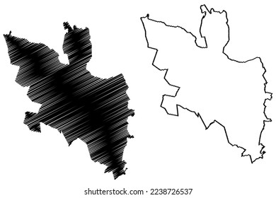
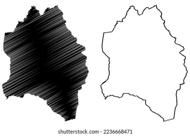
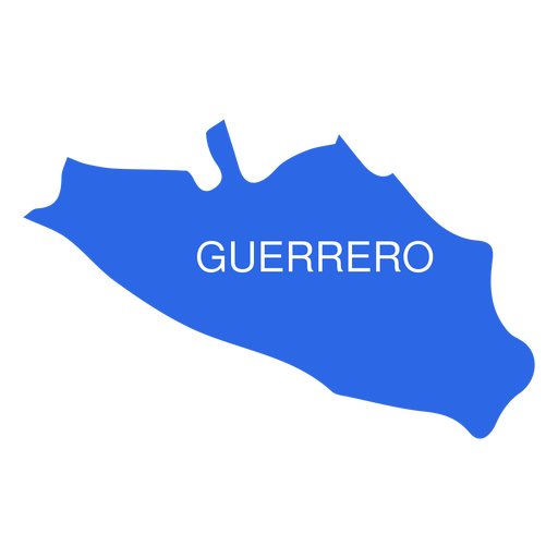
Mapa do estado de Guerrero Desenho PNG
Escolha uma pasta
Todos os favoritos
Criar novo
Salvar
Mapa do estado de Guerrero Desenho PNG
Silhueta de guerreiro viking Desenho PNG
Escolha uma pasta
Todos os favoritos
Criar novo
Salvar
Silhueta de guerreiro viking Desenho PNG
texto editável
Pronto para imprimir
para Merch
Guerreiro viking com design de camiseta de machado
Escolha uma pasta
Todos os favoritos
Criar novo
Salvar
Guerreiro viking com design de camiseta de machado
Premium
Guerreiro i silhueta de pose de ioga Desenho PNG
Escolha uma pasta
Todos os favoritos
Criar novo
Salvar
Guerreiro i silhueta de pose de ioga Desenho PNG
Premium
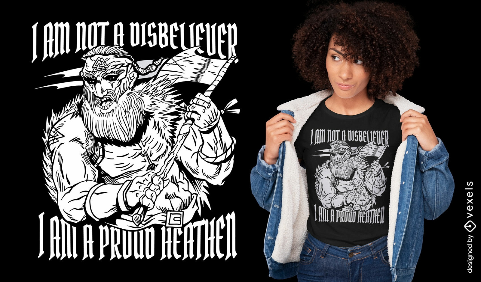
Povo guerreiro nórdico viking Desenho PNG
Escolha uma pasta
Todos os favoritos
Criar novo
Salvar
Povo guerreiro nórdico viking Desenho PNG
Warrior silhouette viking atacando Desenho PNG
Escolha uma pasta
Todos os favoritos
Criar novo
Salvar
Warrior silhouette viking atacando Desenho PNG
Premium
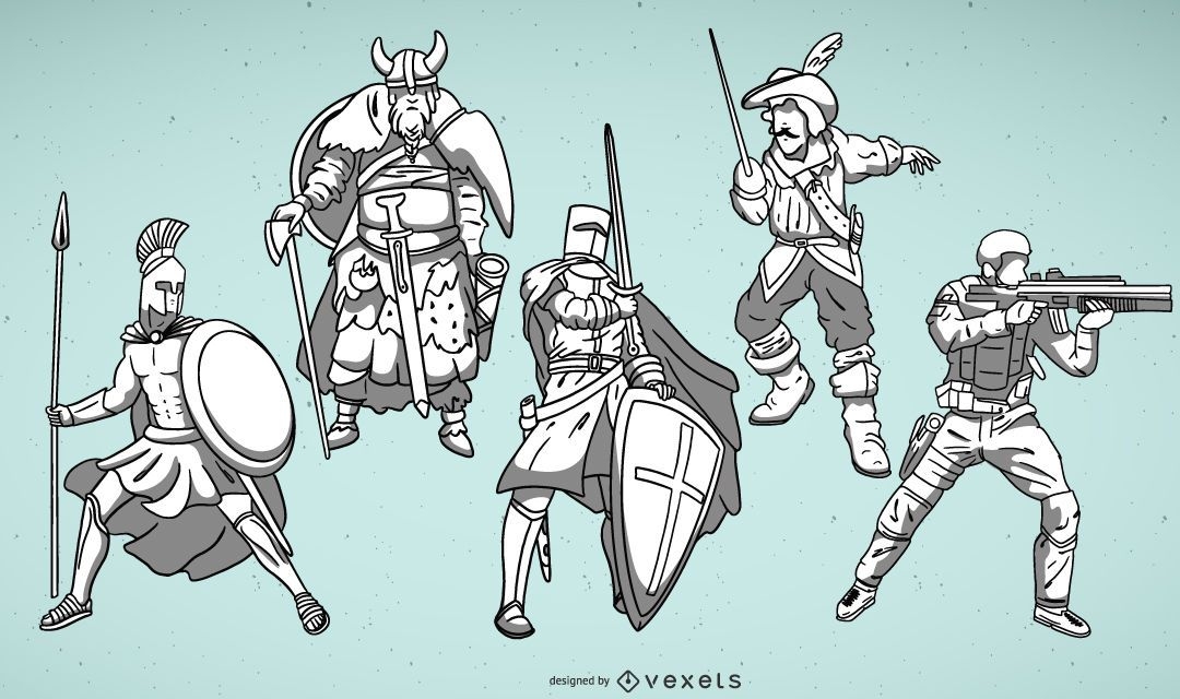
Conjunto de ilustrações de guerreiro
Escolha uma pasta
Todos os favoritos
Criar novo
Salvar
Conjunto de ilustrações de guerreiro
machado guerreiro Desenho PNG
Escolha uma pasta
Todos os favoritos
Criar novo
Salvar
machado guerreiro Desenho PNG
Premium
Faixa de guerreiro com fita de câncer de mama Desenho PNG
Escolha uma pasta
Todos os favoritos
Criar novo
Salvar
Faixa de guerreiro com fita de câncer de mama Desenho PNG
Premium
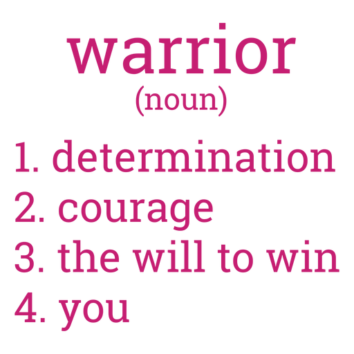
Letras de definição de guerreiro do câncer de mama Desenho PNG
Escolha uma pasta
Todos os favoritos
Criar novo
Salvar
Letras de definição de guerreiro do câncer de mama Desenho PNG
Pronto para imprimir
para Merch
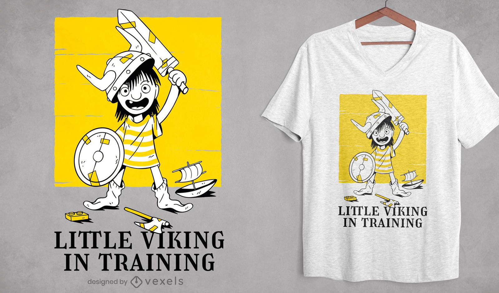
Desenho de t-shirt guerreiro de treinamento infantil viking
Escolha uma pasta
Todos os favoritos
Criar novo
Salvar
Desenho de t-shirt guerreiro de treinamento infantil viking
Pronto para imprimir
para Merch
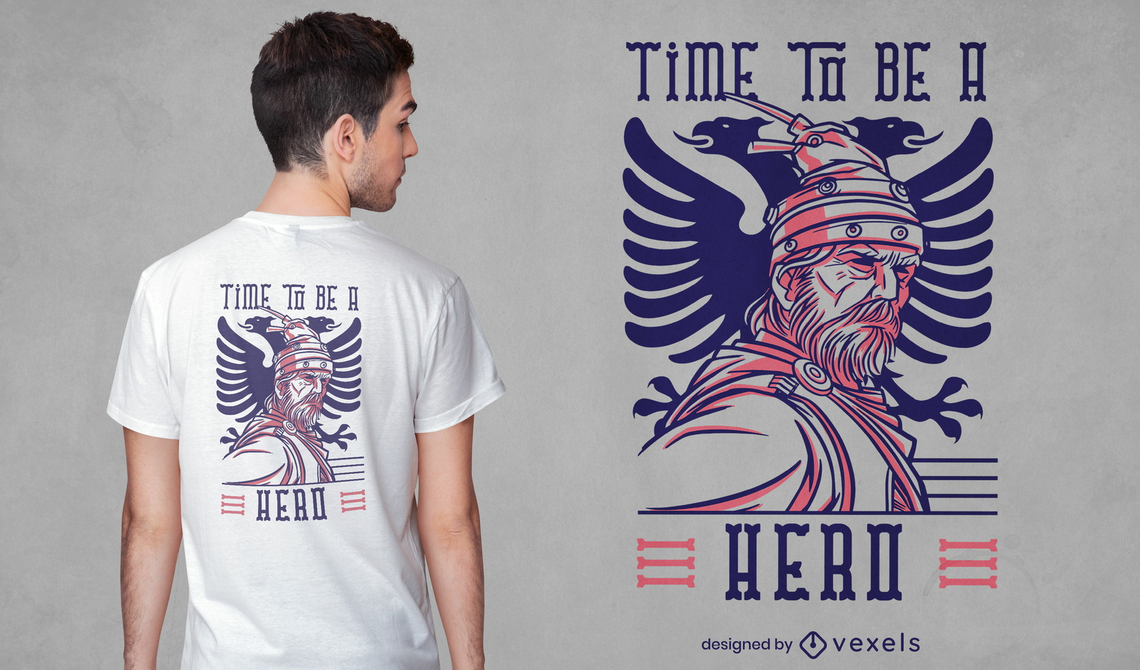
Design de t-shirt de herói guerreiro milenar
Escolha uma pasta
Todos os favoritos
Criar novo
Salvar
Design de t-shirt de herói guerreiro milenar
Pronto para imprimir
para Merch
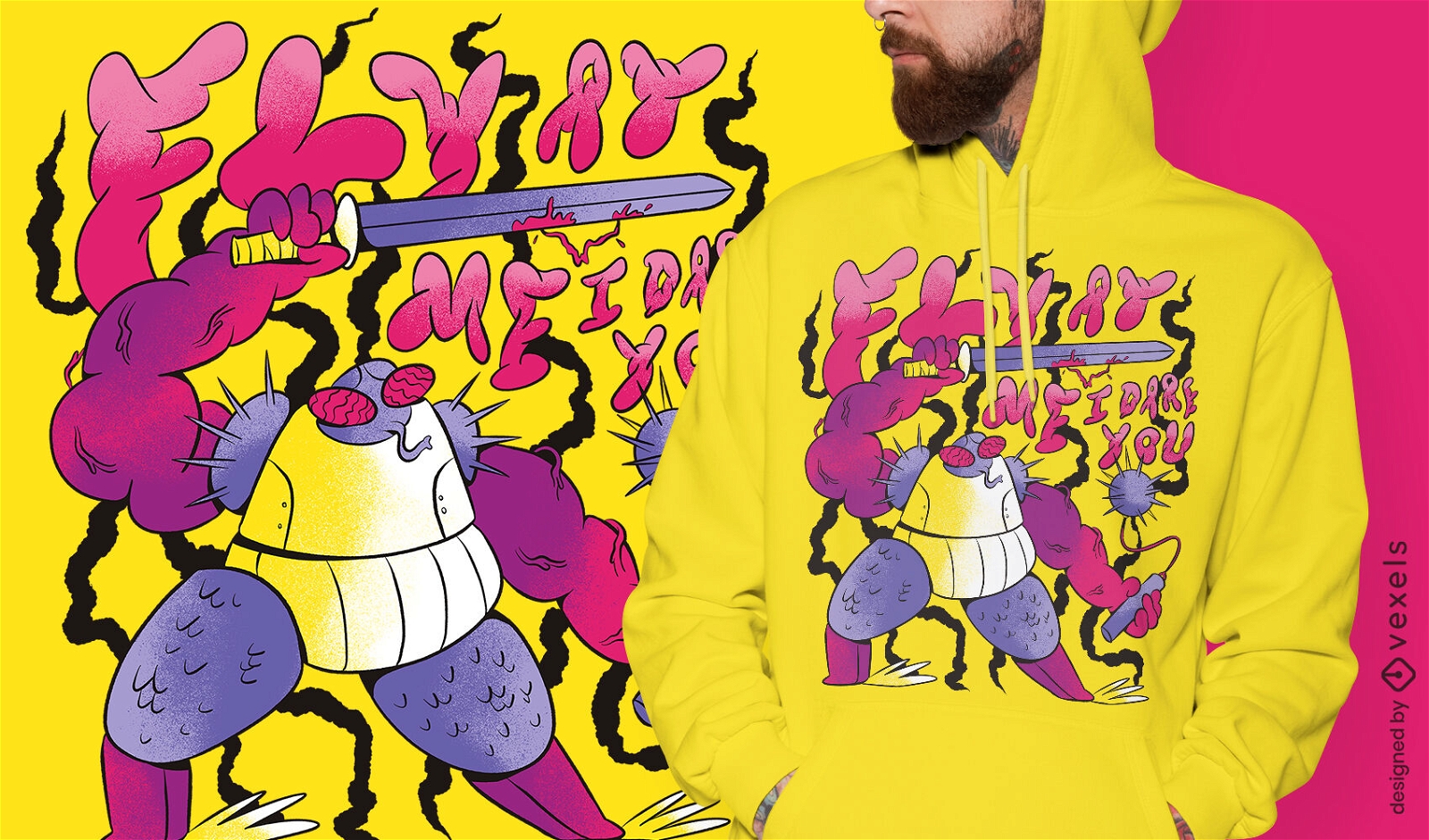
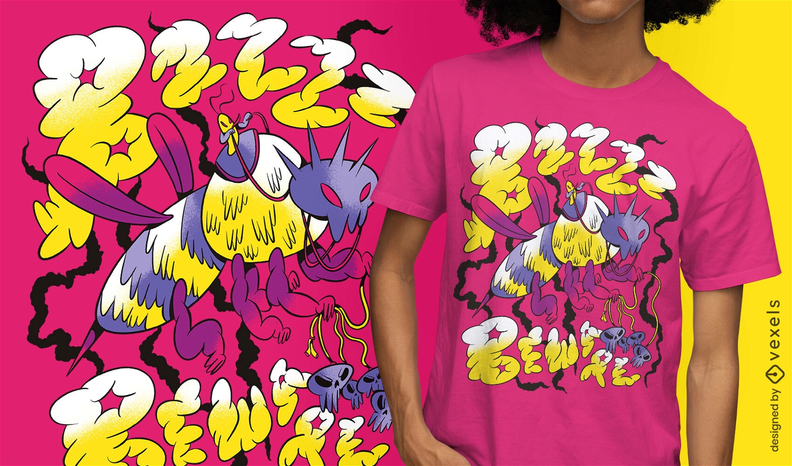
T-shirt gigante do guerreiro inseto mosca psd
Escolha uma pasta
Todos os favoritos
Criar novo
Salvar
T-shirt gigante do guerreiro inseto mosca psd
Pronto para imprimir
para Merch
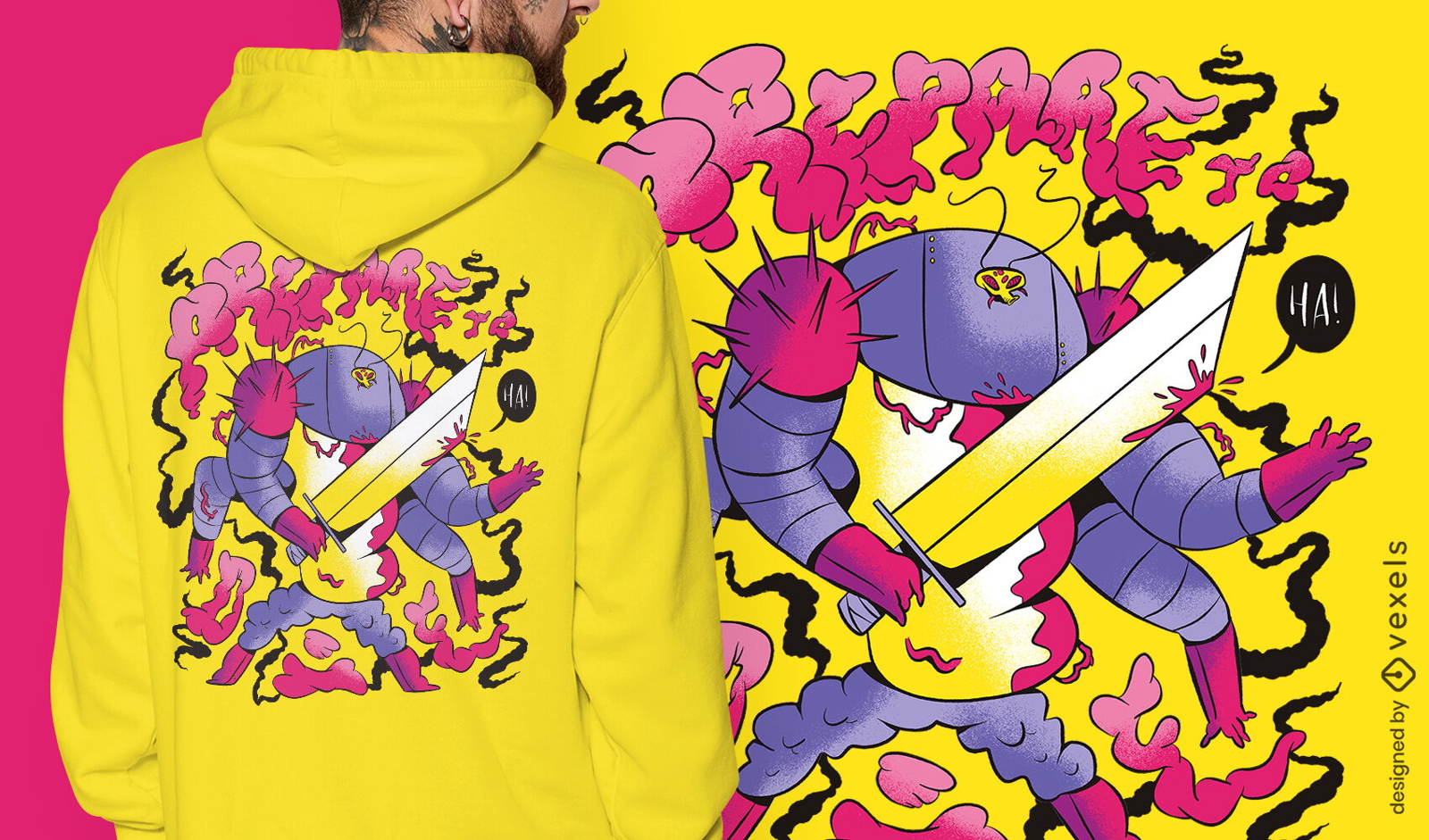
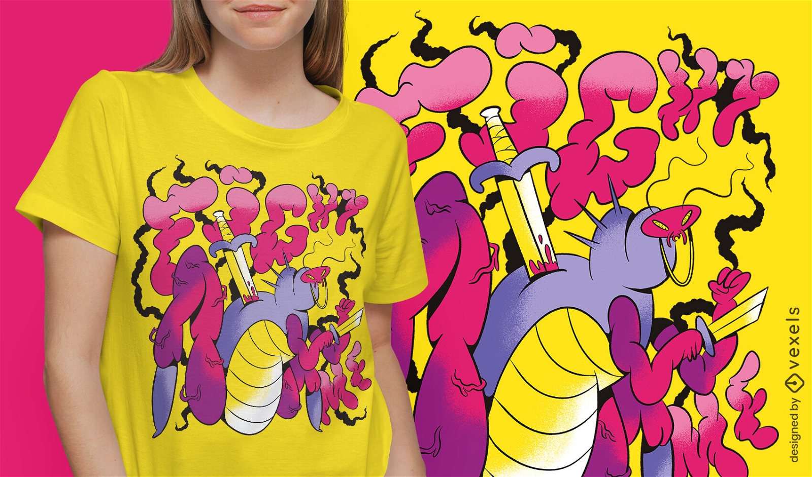
Camiseta guerreiro inseto com espada psd
Escolha uma pasta
Todos os favoritos
Criar novo
Salvar
Camiseta guerreiro inseto com espada psd
texto editável
Pronto para imprimir
para Merch
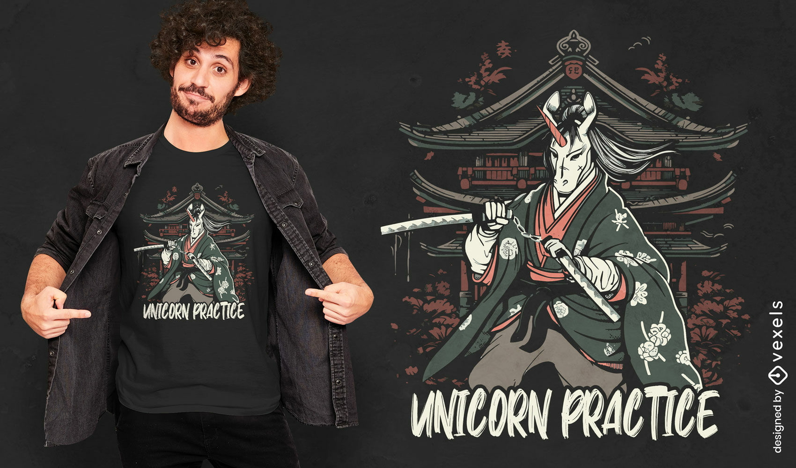
Design de camiseta de guerreiro samurai unicórnio
Escolha uma pasta
Todos os favoritos
Criar novo
Salvar
Design de camiseta de guerreiro samurai unicórnio
Pronto para imprimir
para Merch
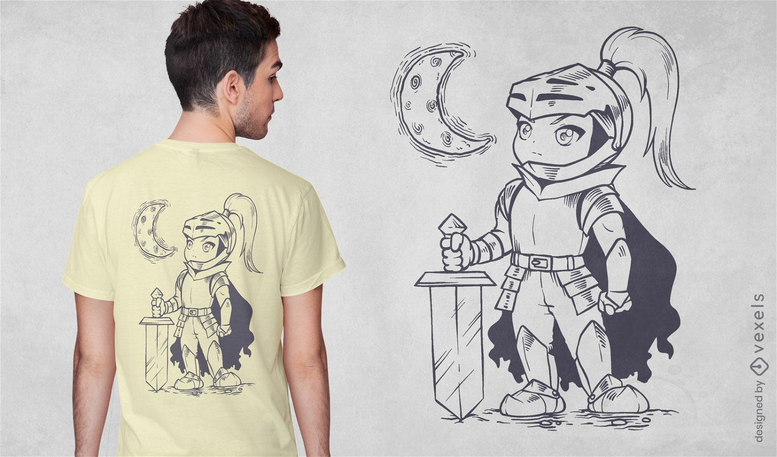
Design de camiseta de guerreiro cavaleiro Chibi
Escolha uma pasta
Todos os favoritos
Criar novo
Salvar
Design de camiseta de guerreiro cavaleiro Chibi
Guerreiro silhueta viking Desenho PNG
Escolha uma pasta
Todos os favoritos
Criar novo
Salvar
Guerreiro silhueta viking Desenho PNG
Pronto para imprimir
para Merch
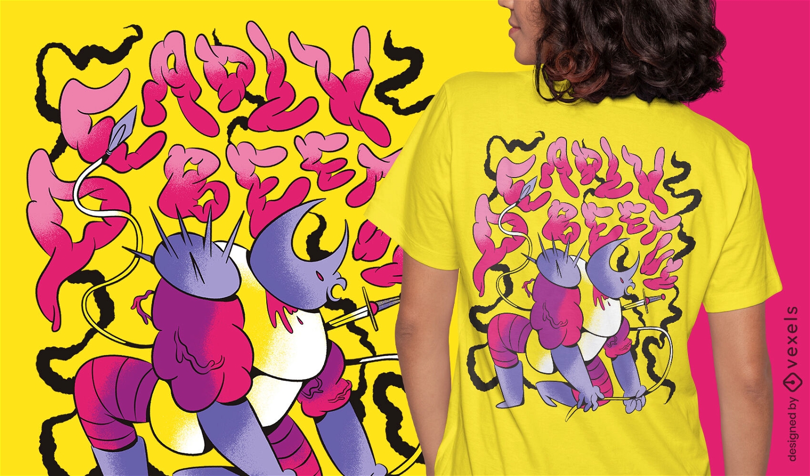
T-shirt do guerreiro dos insetos dos desenhos animados psd
Escolha uma pasta
Todos os favoritos
Criar novo
Salvar
T-shirt do guerreiro dos insetos dos desenhos animados psd
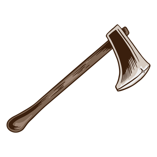
machado de madeira guerreiro Desenho PNG
Escolha uma pasta
Todos os favoritos
Criar novo
Salvar
machado de madeira guerreiro Desenho PNG
Premium
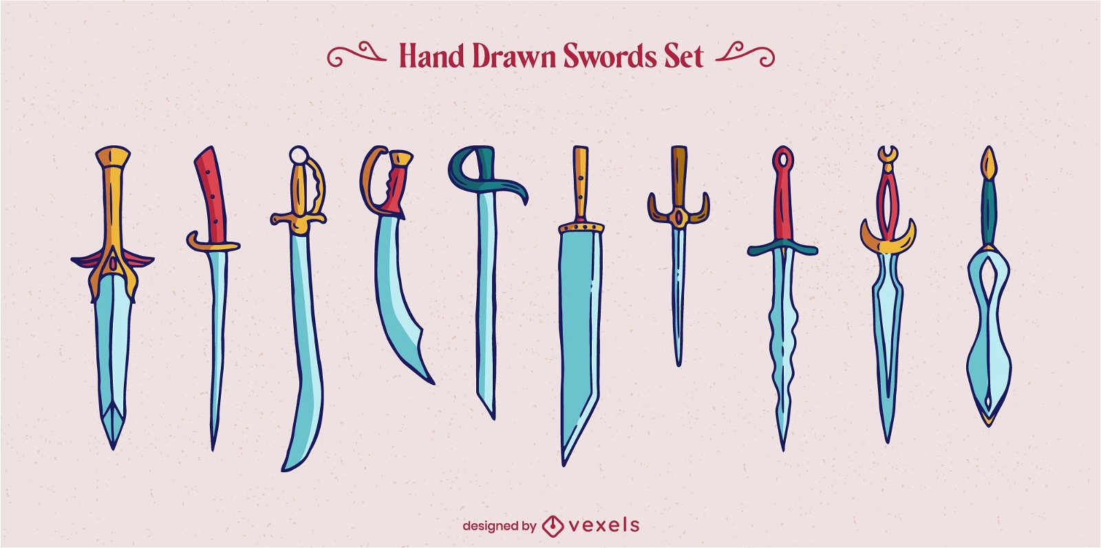
Conjunto de elementos de guerreiro espada arma
Escolha uma pasta
Todos os favoritos
Criar novo
Salvar
Conjunto de elementos de guerreiro espada arma
Silhueta de pose de guerreiro de ioga Desenho PNG
Escolha uma pasta
Todos os favoritos
Criar novo
Salvar
Silhueta de pose de guerreiro de ioga Desenho PNG
Pronto para imprimir
para Merch
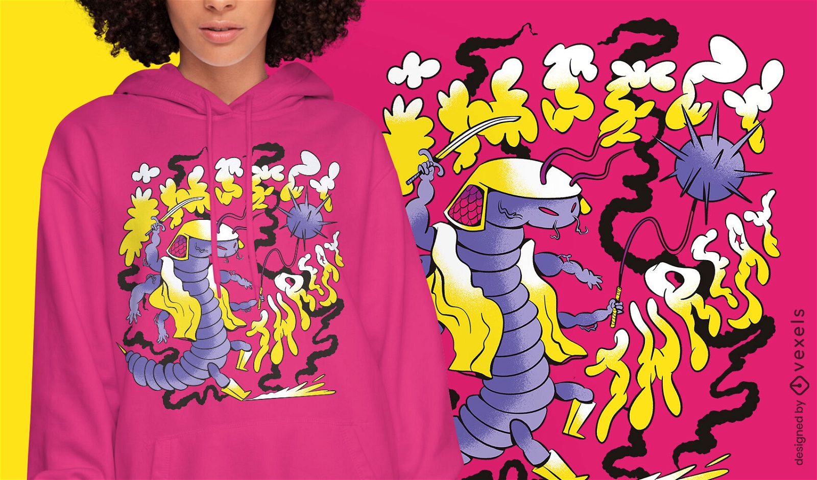
Camiseta Caterpillar inseto guerreiro psd
Escolha uma pasta
Todos os favoritos
Criar novo
Salvar
Camiseta Caterpillar inseto guerreiro psd
texto editável
Pronto para imprimir
para Merch
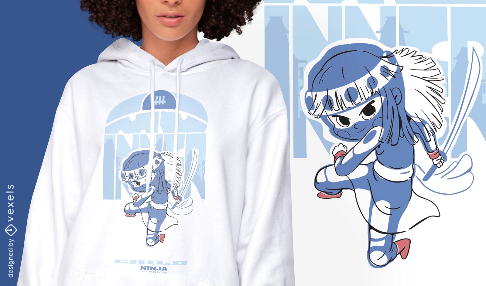
Garoto guerreiro com design de camiseta de espada
Escolha uma pasta
Todos os favoritos
Criar novo
Salvar
Garoto guerreiro com design de camiseta de espada
Pronto para imprimir
para Merch
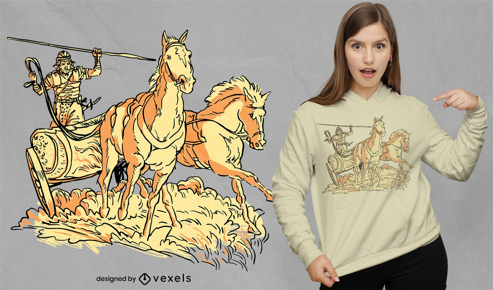
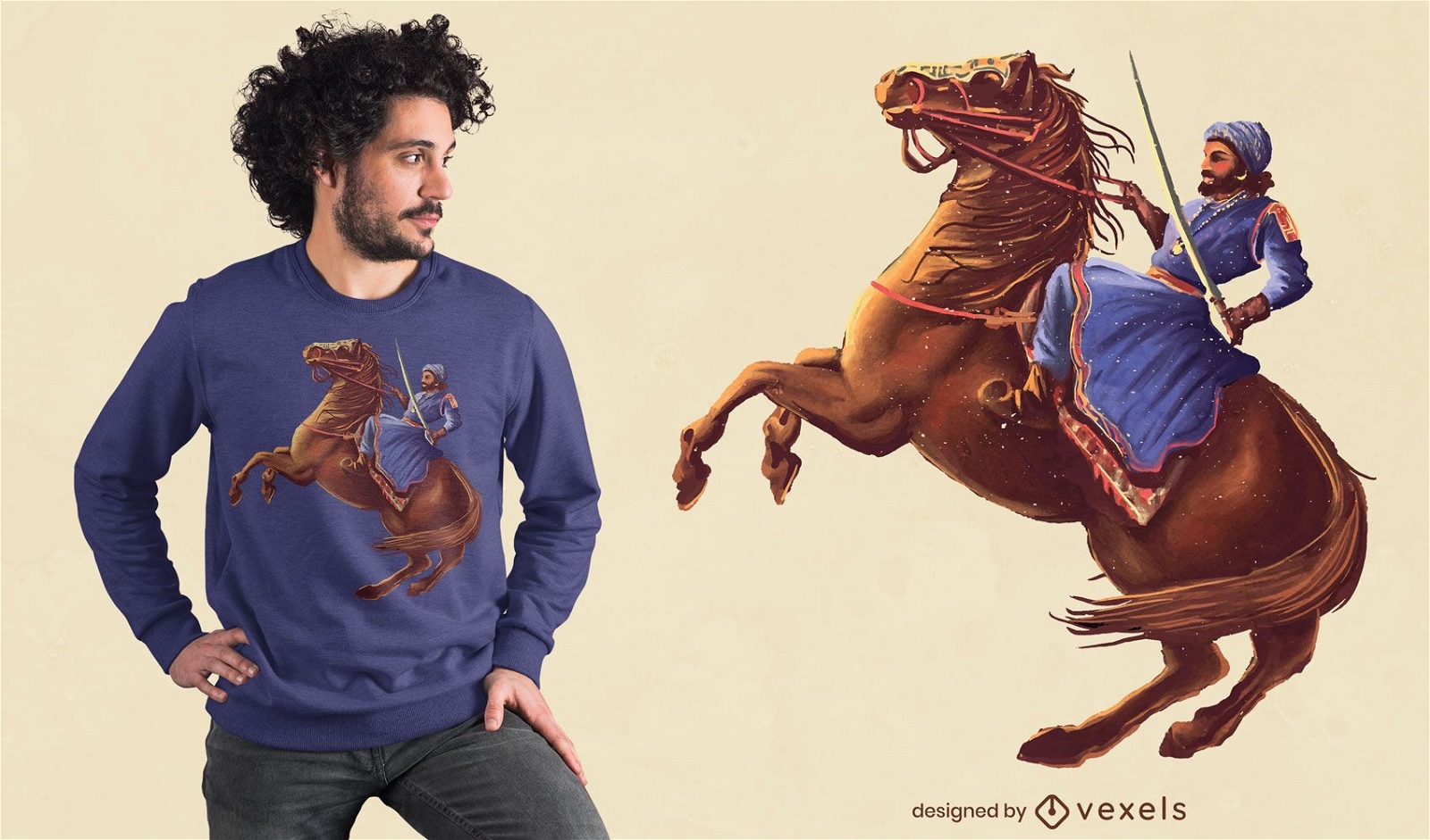
Design de camiseta de guerreiro romano em carruagem de cavalo
Escolha uma pasta
Todos os favoritos
Criar novo
Salvar
Design de camiseta de guerreiro romano em carruagem de cavalo
Pronto para imprimir
para Merch
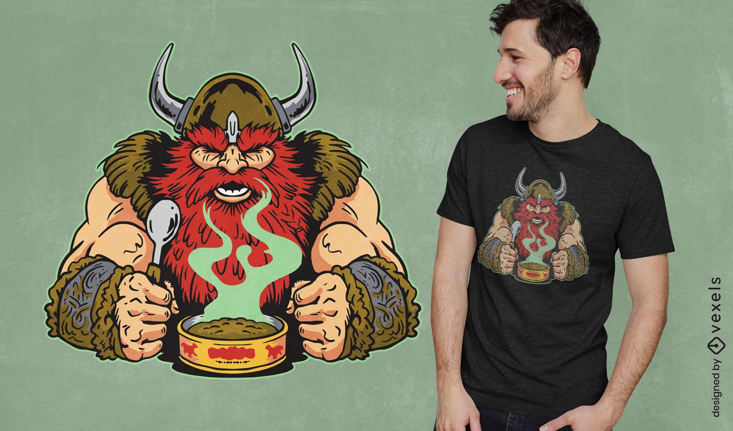
Ruiva viking guerreiro comendo design de camiseta
Escolha uma pasta
Todos os favoritos
Criar novo
Salvar
Ruiva viking guerreiro comendo design de camiseta
Pronto para imprimir
para Merch
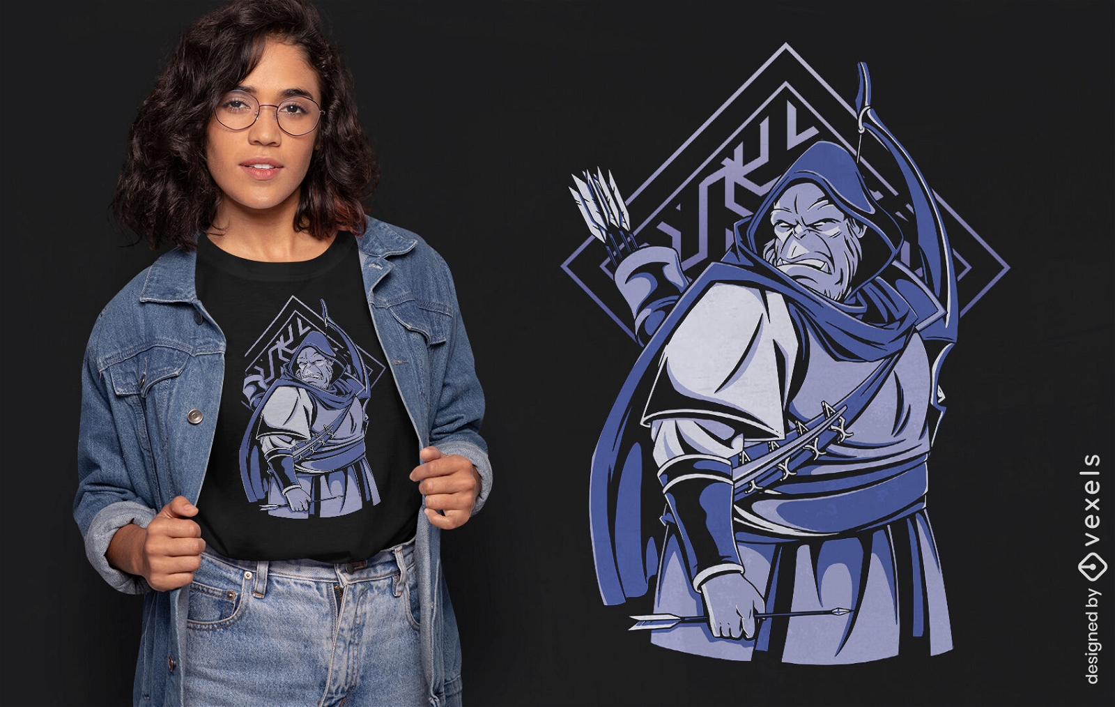
Design de camiseta de guerreiro de criatura de fantasia orc
Escolha uma pasta
Todos os favoritos
Criar novo
Salvar
Design de camiseta de guerreiro de criatura de fantasia orc
Pronto para imprimir
para Merch
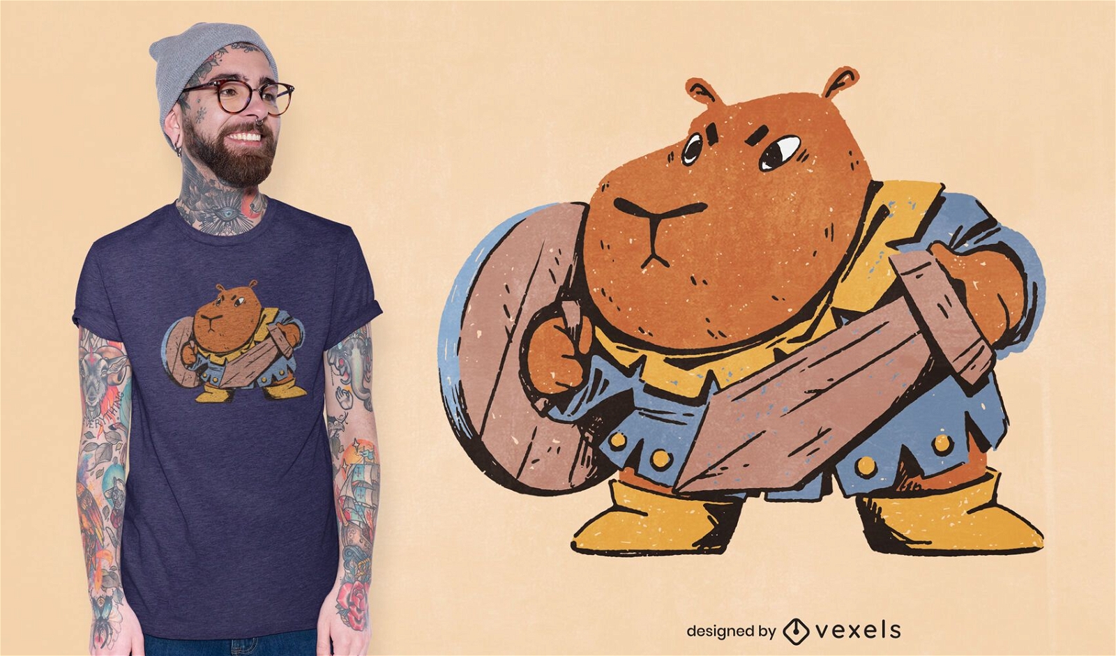
Guerreiro capivara com design de camiseta de espada
Escolha uma pasta
Todos os favoritos
Criar novo
Salvar
Guerreiro capivara com design de camiseta de espada
Pronto para imprimir
para Merch
T-shirt do guerreiro do inseto da mariposa gigante psd
Escolha uma pasta
Todos os favoritos
Criar novo
Salvar
T-shirt do guerreiro do inseto da mariposa gigante psd
Pronto para imprimir
para Merch
Guerreiro com espada no design de camiseta de cavalo
Escolha uma pasta
Todos os favoritos
Criar novo
Salvar
Guerreiro com espada no design de camiseta de cavalo
texto editável
Pronto para imprimir
para Merch
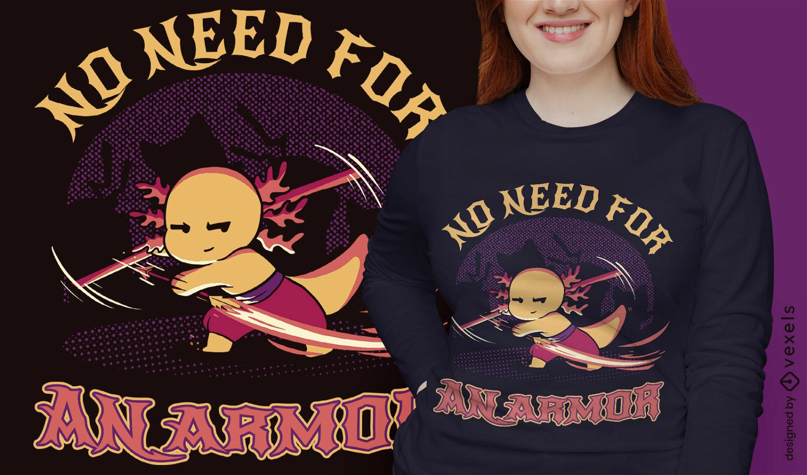
Design de camiseta animal de fantasia de guerreiro axolotl
Escolha uma pasta
Todos os favoritos
Criar novo
Salvar
Design de camiseta animal de fantasia de guerreiro axolotl
Pronto para imprimir
para Merch
Camiseta besouro gigante inseto guerreiro psd
Escolha uma pasta
Todos os favoritos
Criar novo
Salvar
Camiseta besouro gigante inseto guerreiro psd
Pronto para imprimir
para Merch
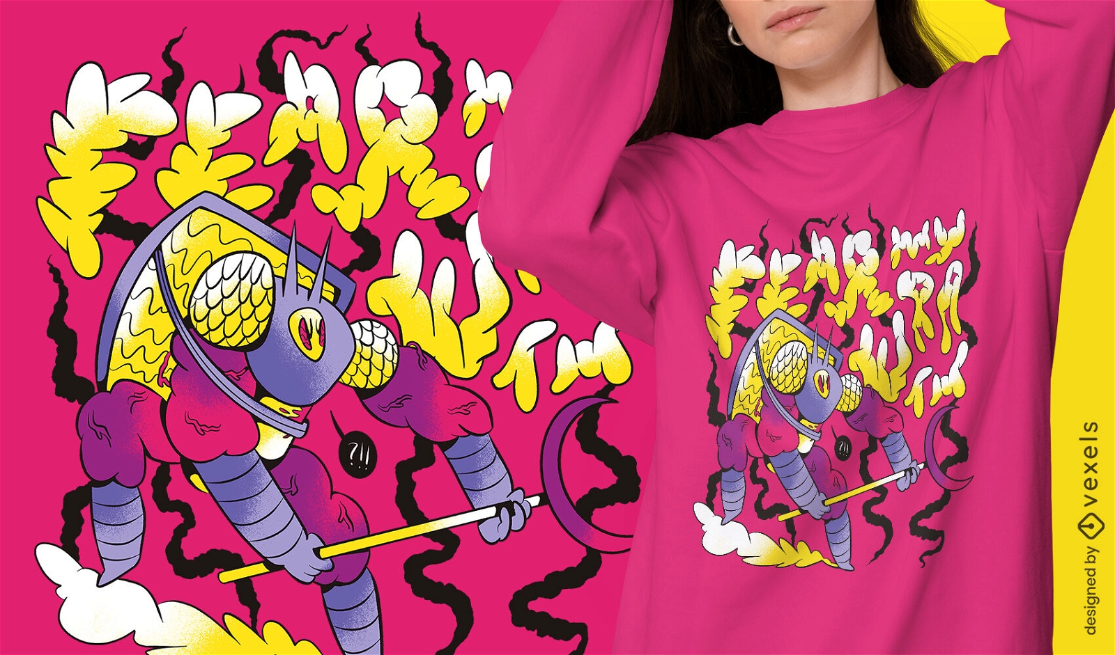
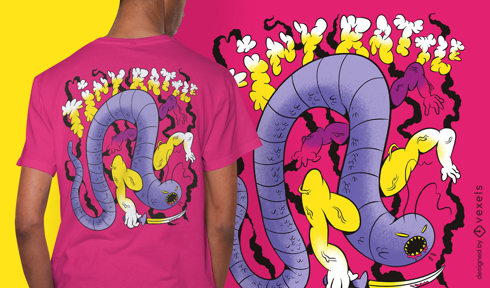
T-shirt do guerreiro do inseto do verme assustador psd
Escolha uma pasta
Todos os favoritos
Criar novo
Salvar
T-shirt do guerreiro do inseto do verme assustador psd
Pronto para imprimir
para Merch
Design de camiseta de símbolos de guerreiros vikings
Escolha uma pasta
Todos os favoritos
Criar novo
Salvar
Design de camiseta de símbolos de guerreiros vikings
Premium
Letras de conscientização do câncer guerreiro rosa Desenho PNG
Escolha uma pasta
Todos os favoritos
Criar novo
Salvar
Letras de conscientização do câncer guerreiro rosa Desenho PNG
texto editável
Pronto para imprimir
para Merch
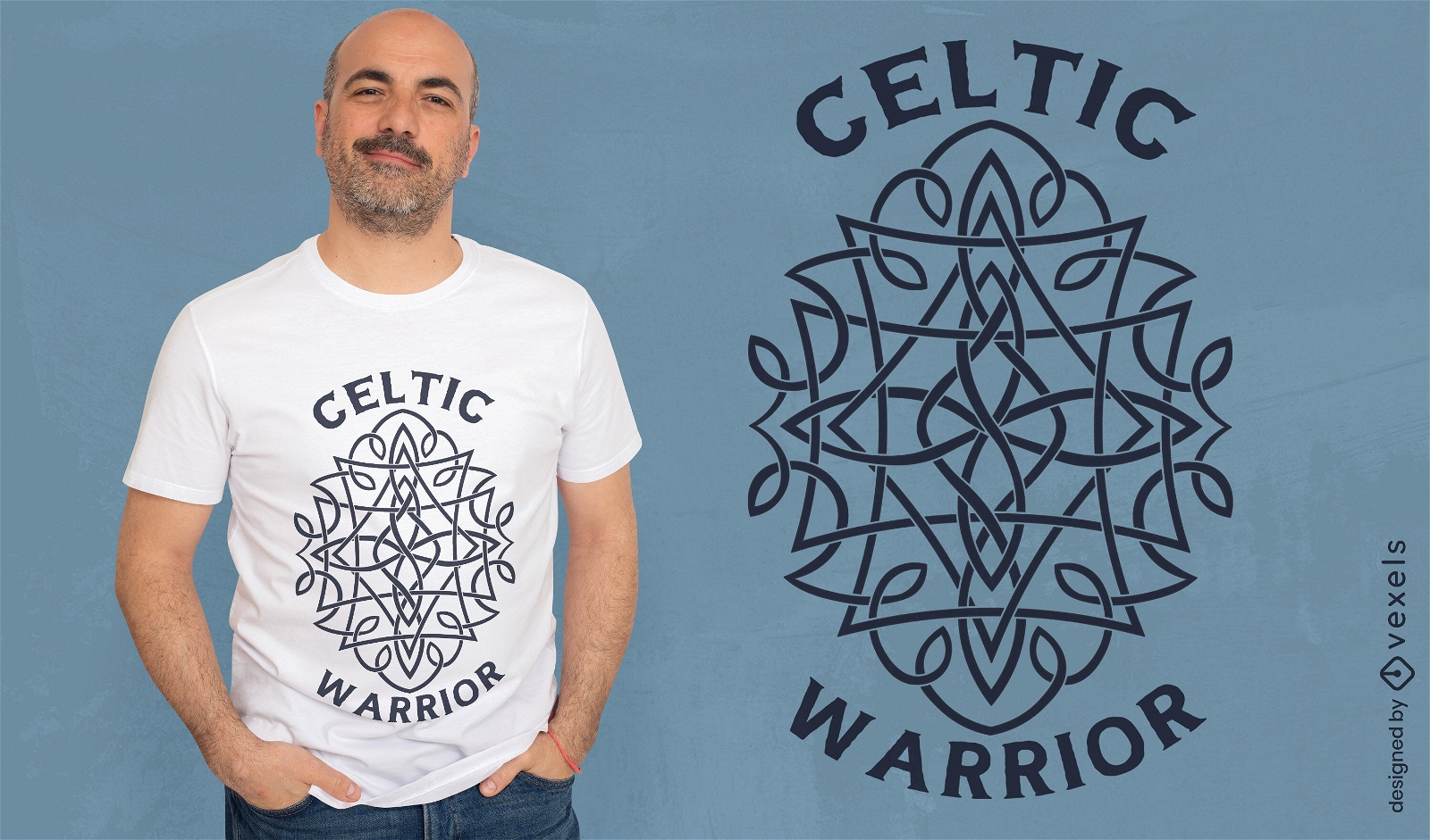
Design de camiseta de guerreiro celta
Escolha uma pasta
Todos os favoritos
Criar novo
Salvar
Design de camiseta de guerreiro celta
Pronto para imprimir
para Merch
T-shirt de guerreiro animal inseto assustador psd
Escolha uma pasta
Todos os favoritos
Criar novo
Salvar
T-shirt de guerreiro animal inseto assustador psd
Impulsione seu negócio
Com a plataforma gráfica líder de mercado.
Ver planos
Próxima
do 15
prev page
next page