Biblioteca de design
Novos designs Merch
Camisetas
Vectores
Designs de Merch de Tendência
PNGs & SVGs
Mockups
Modelos de T-Shirt PSD
Explorar Desenhos
Designs KDP
Pôsteres
Canecas
Capas para celular
Sacos de compras
Almofadas
Ferramentas de desenho
Merch Designer
Novo!
Mockup Generator
Gerador de Design de AI
Vetorizador
Quote Generator
T-Shirt Maker (Antigo)
Ajuda
Merch Digest
Blog
Centro de Ajuda
Saiba mais sobre o Merch
Feedback
Soluções Corporativas
Empresa
Acesso à API
Estúdio de Design
Design em Lote
Preços
Carregando...
Inscrever-se
Conecte-se
All
levantando
Biblioteca de design
Novos designs Merch
Camisetas
Vectores
Designs de Merch de Tendência
PNGs & SVGs
Mockups
Modelos de T-Shirt PSD
Explorar Desenhos
Designs KDP
Pôsteres
Canecas
Capas para celular
Sacos de compras
Almofadas
Ferramentas de desenho
Merch Designer
Novo!
Mockup Generator
Gerador de Design de AI
Vetorizador
Quote Generator
T-Shirt Maker (Antigo)
Ajuda
Merch Digest
Blog
Centro de Ajuda
Saiba mais sobre o Merch
Feedback
Soluções Corporativas
Empresa
Acesso à API
Estúdio de Design
Design em Lote
PLANOS
All
levantando
312 Gráficos e Designs de levantando para Camisetas e Merch print on demand
Baixar designs de camisetas e para merch, como capas de livro, capas de celular, tote bags e mais de levantando
Relacionado:
levantando as mãos
,
levantando pesos
,
levantando jogadores
Ordenar por
Mais relevante
Resultados patrocinados da
Ganhe 15% de desconto com o código: VEXELS15
veja mais detalhes
texto editável
Pronto para imprimir
para Merch
Mãos levantando peso design de t-shirt
Escolha uma pasta
Todos os favoritos
Criar novo
Salvar
Mãos levantando peso design de t-shirt
Premium
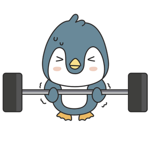
Pinguim de desenho animado levantando uma barra Desenho PNG
Escolha uma pasta
Todos os favoritos
Criar novo
Salvar
Pinguim de desenho animado levantando uma barra Desenho PNG
Pronto para imprimir
para Merch
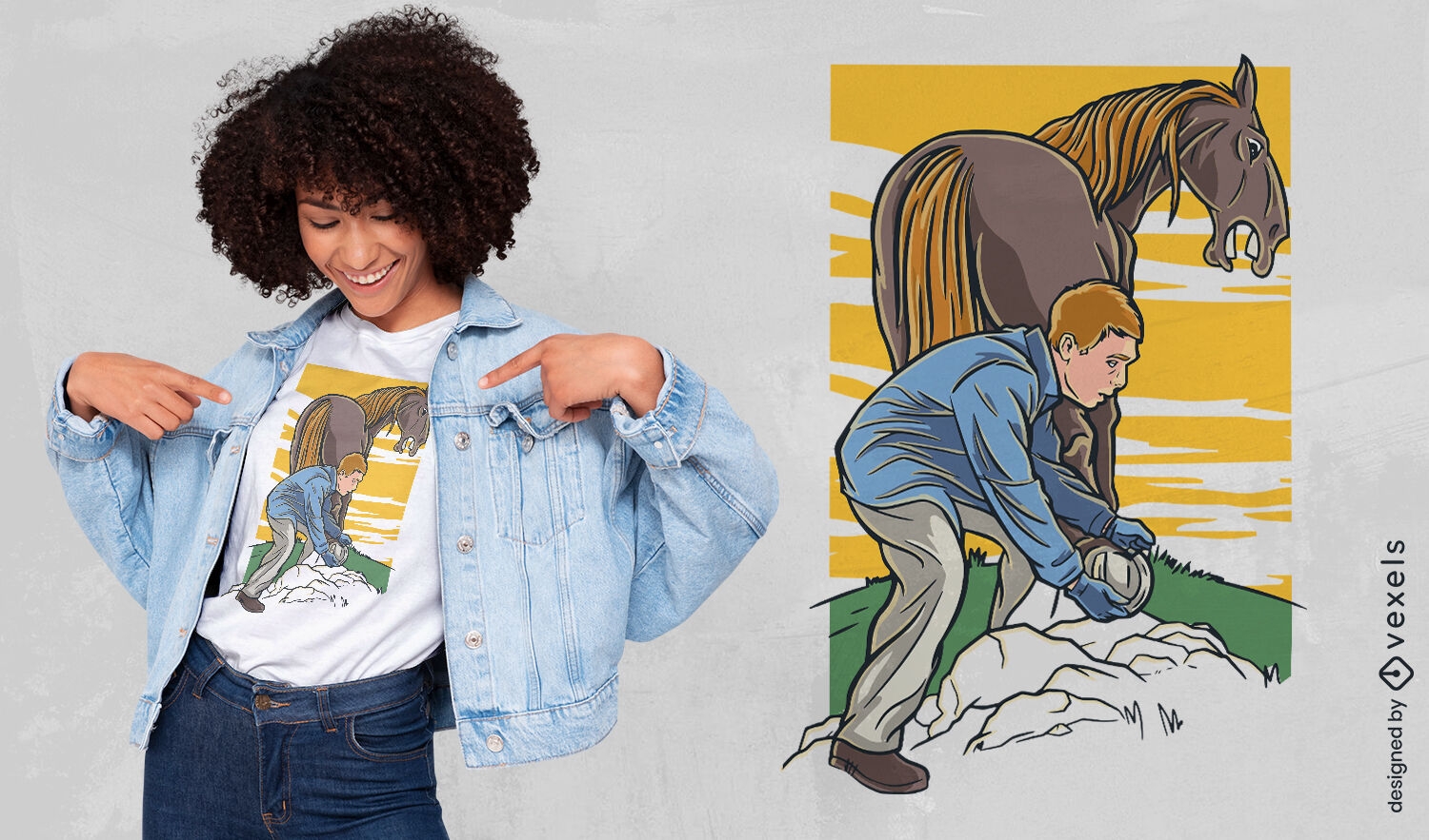
Farrier levantando design de camiseta de perna de cavalo
Escolha uma pasta
Todos os favoritos
Criar novo
Salvar
Farrier levantando design de camiseta de perna de cavalo
Pronto para imprimir
para Merch
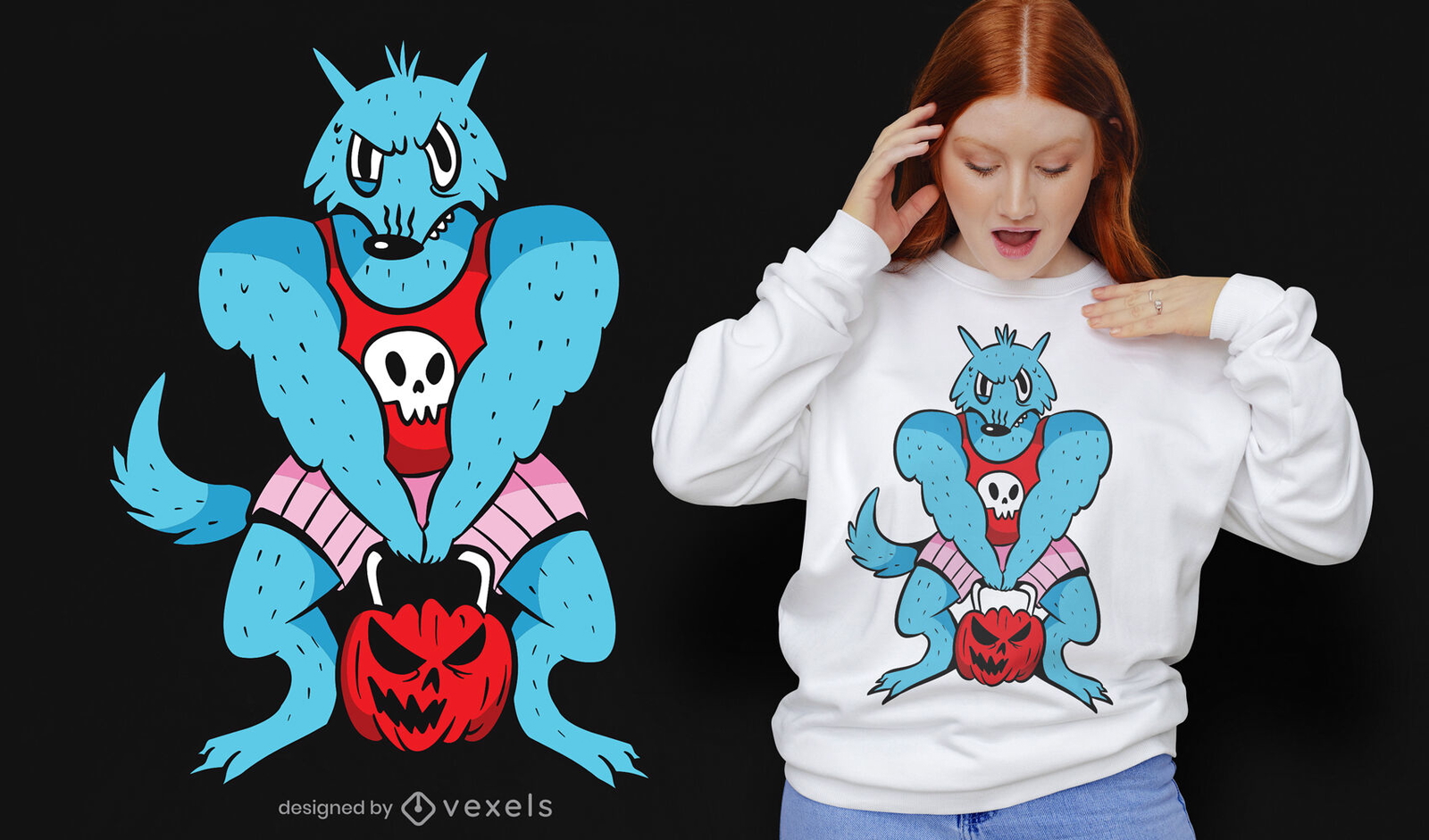
Desenho de t-shirt de desenho animado para ginásio de lobisomem levantando abóbora
Escolha uma pasta
Todos os favoritos
Criar novo
Salvar
Desenho de t-shirt de desenho animado para ginásio de lobisomem levantando abóbora
Pronto para imprimir
para Merch
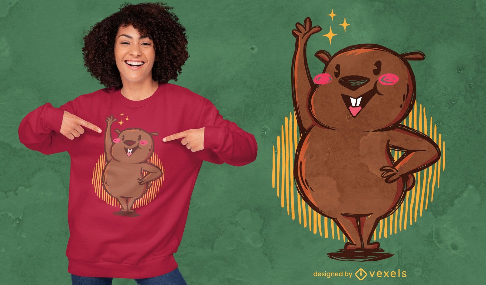
Design de camiseta de wombat fofo levantando a mão
Escolha uma pasta
Todos os favoritos
Criar novo
Salvar
Design de camiseta de wombat fofo levantando a mão
Pronto para imprimir
para Merch
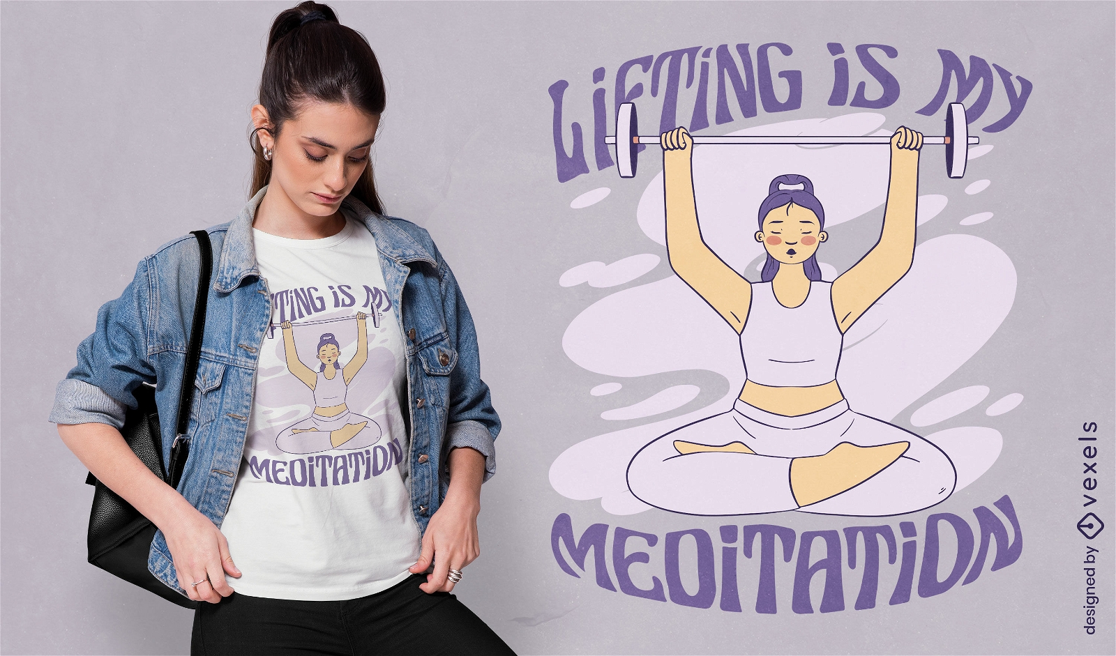
Design de camiseta de garota de ioga levantando pesos
Escolha uma pasta
Todos os favoritos
Criar novo
Salvar
Design de camiseta de garota de ioga levantando pesos
PSD Mockup
Premium
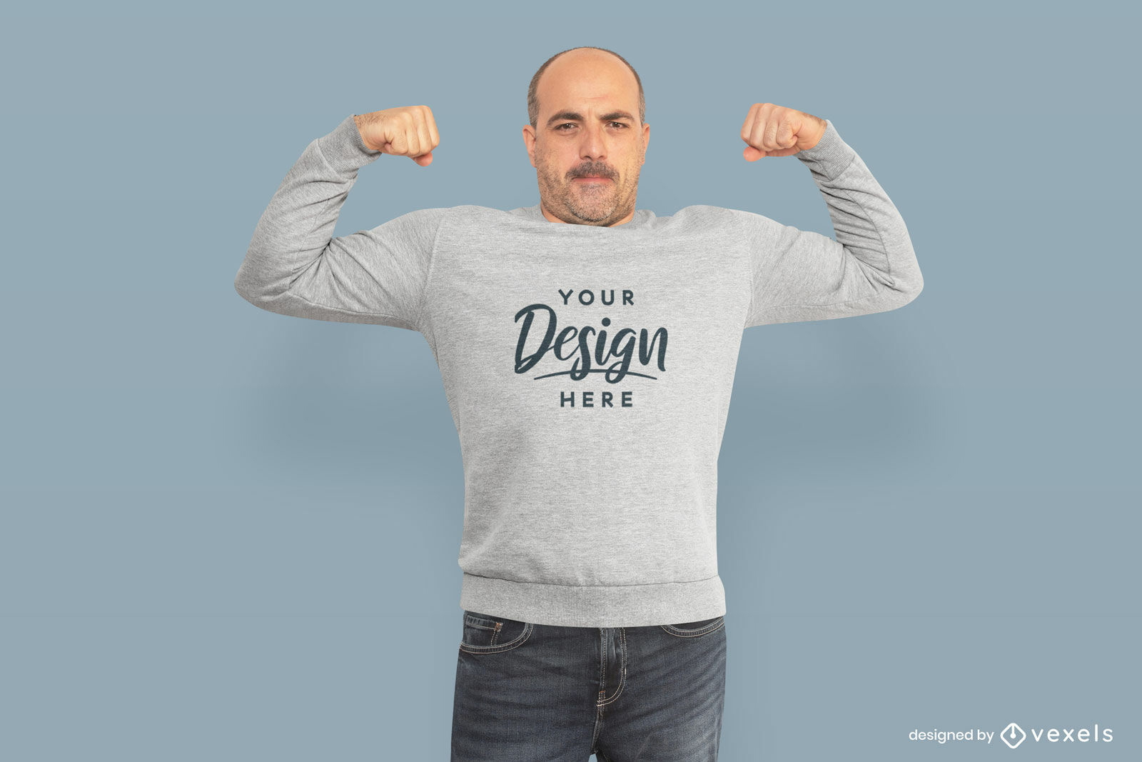
Homem forte, levantando maquete de moletom de braços
Escolha uma pasta
Todos os favoritos
Criar novo
Salvar
Homem forte, levantando maquete de moletom de braços
texto editável
Pronto para imprimir
para Merch
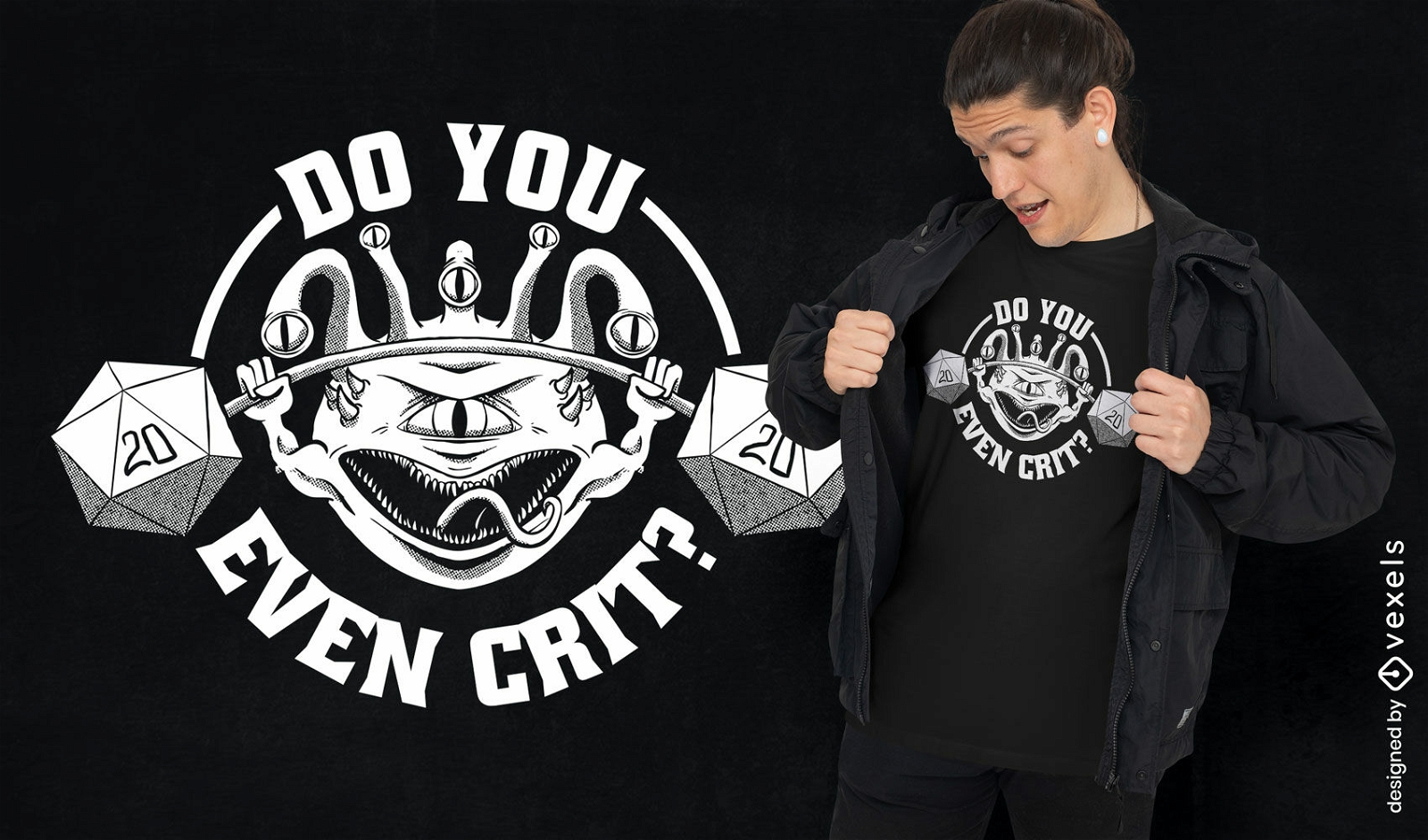
Design de camiseta de levantamento de pesos monstro
Escolha uma pasta
Todos os favoritos
Criar novo
Salvar
Design de camiseta de levantamento de pesos monstro
Pronto para imprimir
para Merch
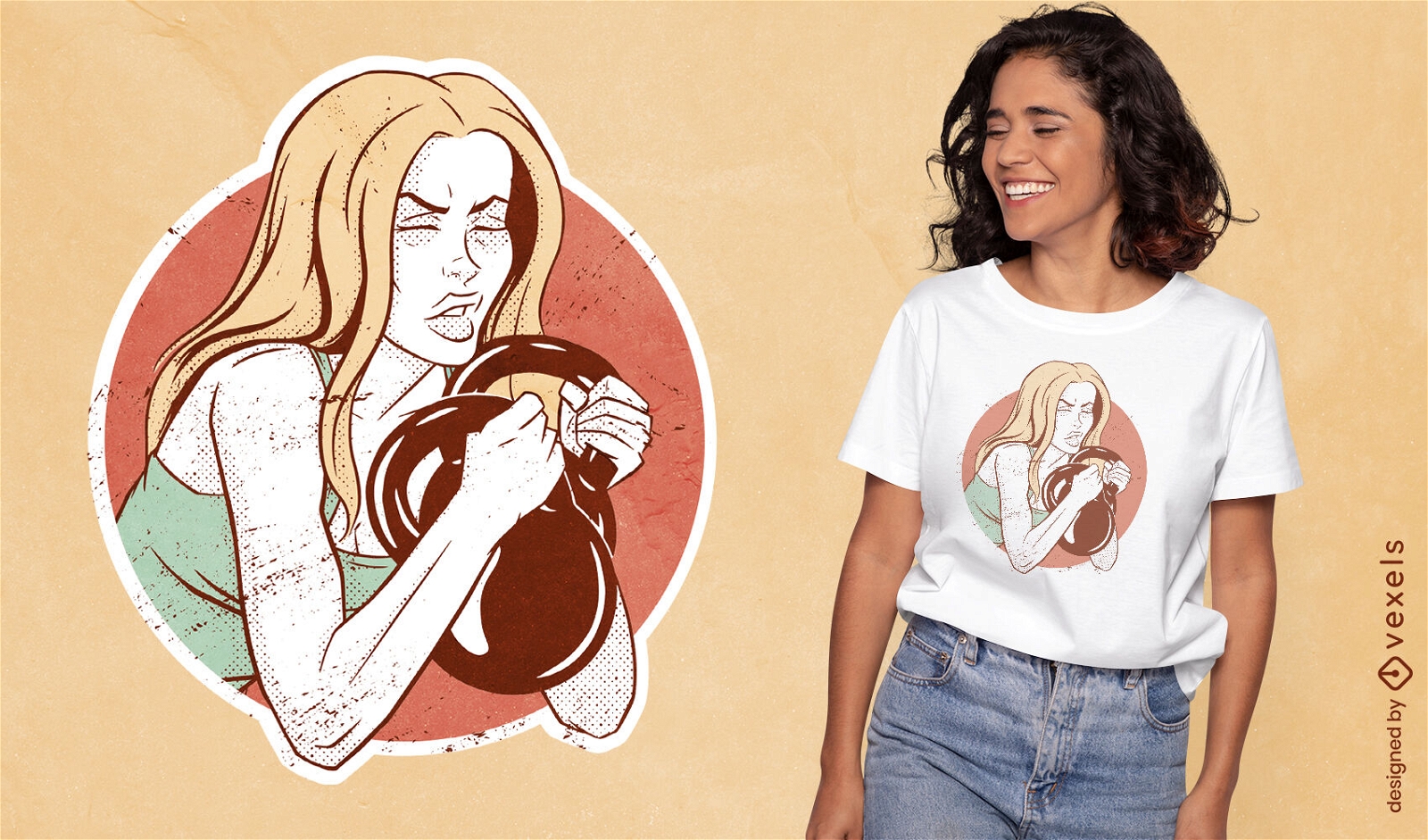
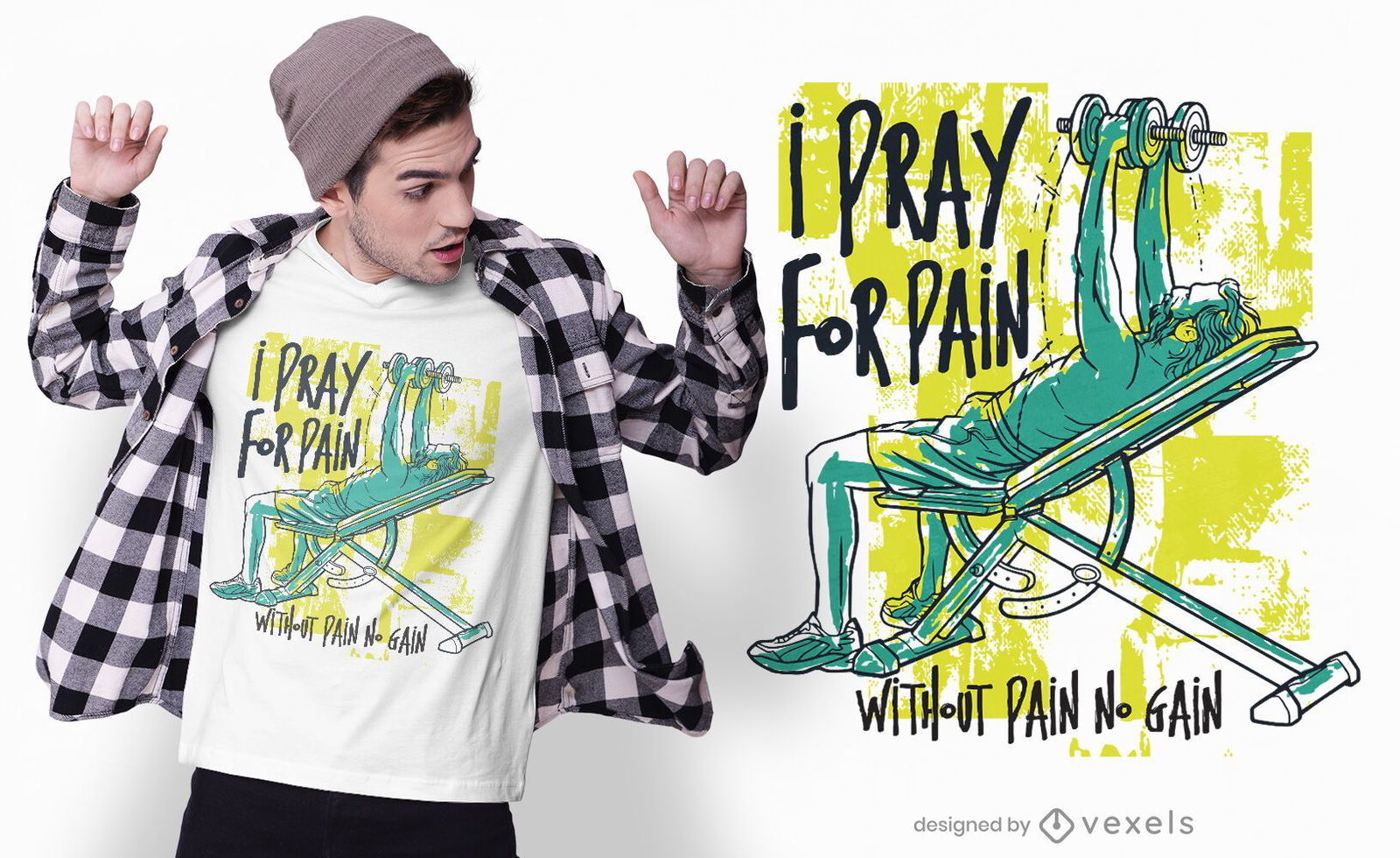
Design de camiseta de levantamento de pesos de mulher fitness
Escolha uma pasta
Todos os favoritos
Criar novo
Salvar
Design de camiseta de levantamento de pesos de mulher fitness
Pronto para imprimir
para Merch
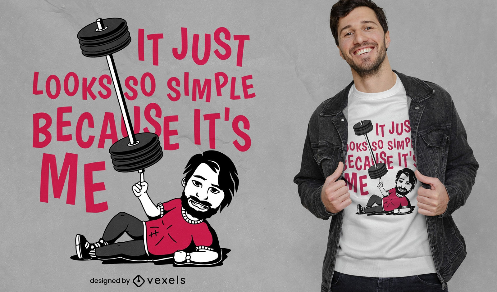
Design de camiseta de levantamento de pesos de homem forte
Escolha uma pasta
Todos os favoritos
Criar novo
Salvar
Design de camiseta de levantamento de pesos de homem forte
Pronto para imprimir
para Merch
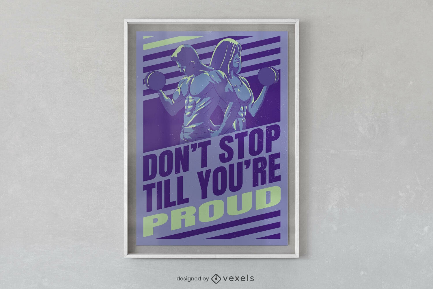
Pessoas levantando pesos design de cartaz
Escolha uma pasta
Todos os favoritos
Criar novo
Salvar
Pessoas levantando pesos design de cartaz
Pronto para imprimir
para Merch
Design de camiseta para homem velho levantando pesos
Escolha uma pasta
Todos os favoritos
Criar novo
Salvar
Design de camiseta para homem velho levantando pesos
Pronto para imprimir
para Merch
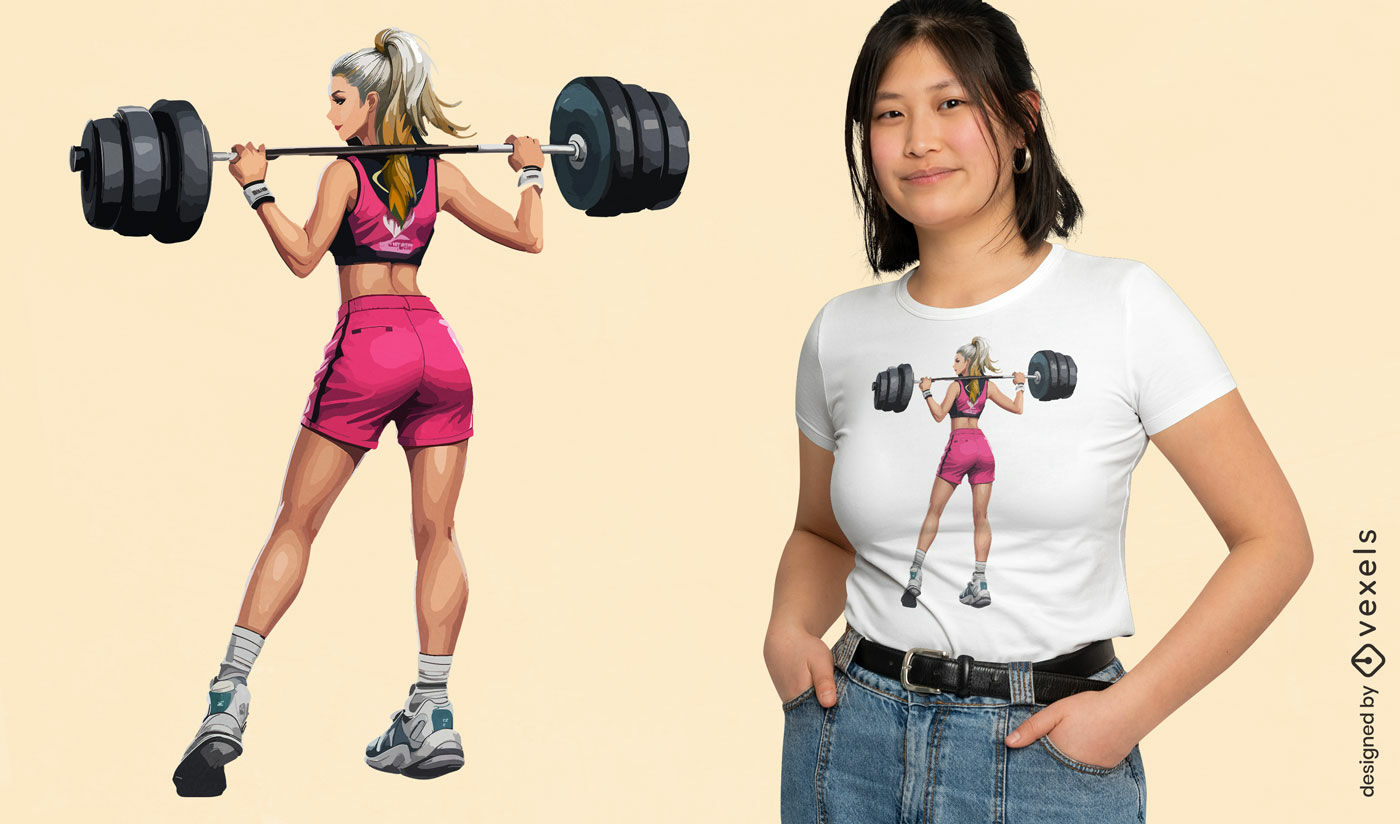
Design de camiseta para mulher atlética levantando pesos
Escolha uma pasta
Todos os favoritos
Criar novo
Salvar
Design de camiseta para mulher atlética levantando pesos
Premium
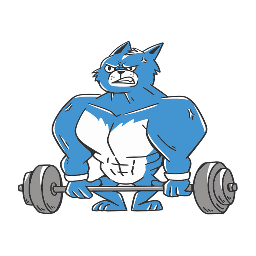
Gato azul e branco levantando uma barra Desenho PNG
Escolha uma pasta
Todos os favoritos
Criar novo
Salvar
Gato azul e branco levantando uma barra Desenho PNG
Pronto para imprimir
para Merch
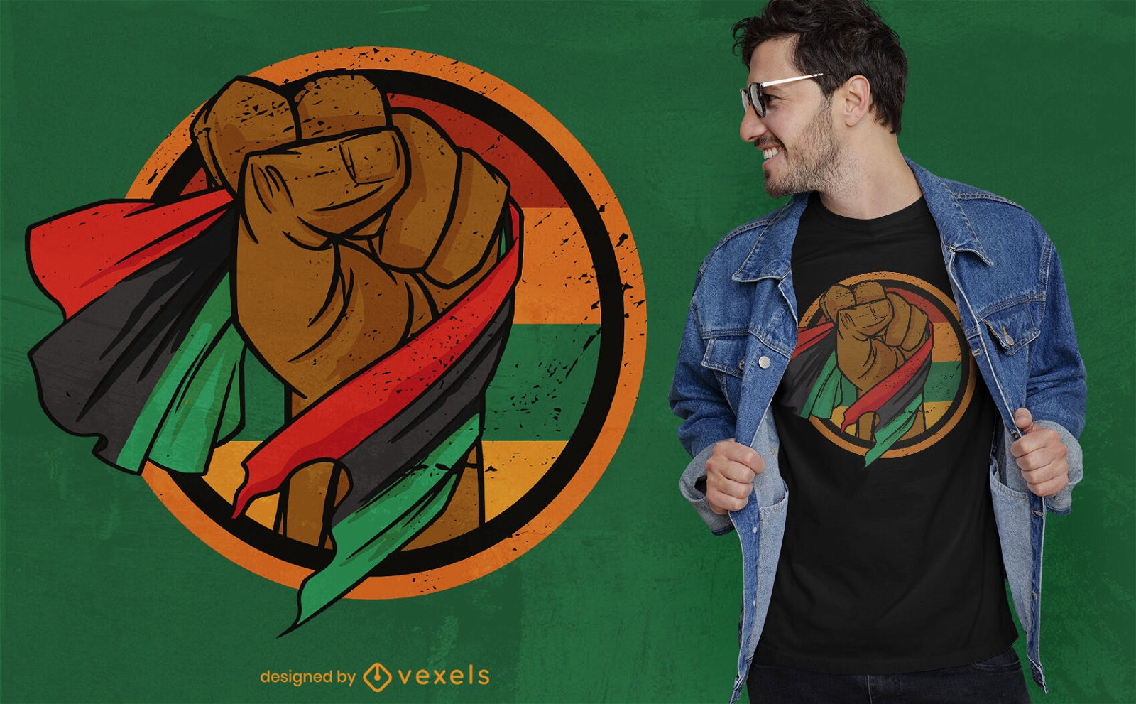
Punho levantando design de camiseta de bandeira africana
Escolha uma pasta
Todos os favoritos
Criar novo
Salvar
Punho levantando design de camiseta de bandeira africana
Levantando Yeti de árvore Desenho PNG
Escolha uma pasta
Todos os favoritos
Criar novo
Salvar
Levantando Yeti de árvore Desenho PNG
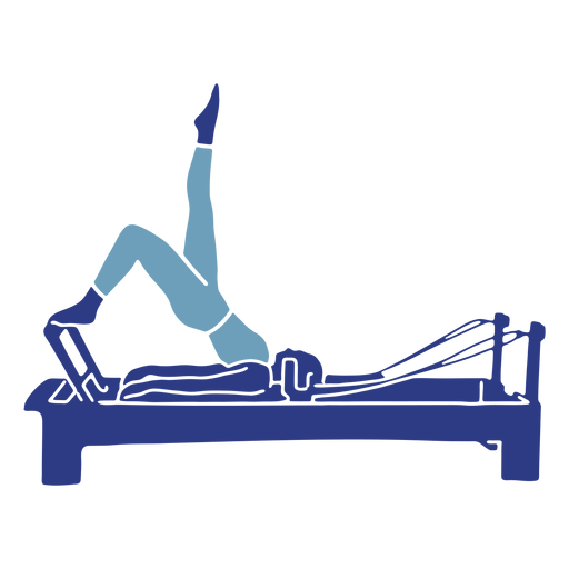
Pilates reformador de quadris levantando silhueta Desenho PNG
Escolha uma pasta
Todos os favoritos
Criar novo
Salvar
Pilates reformador de quadris levantando silhueta Desenho PNG
Mãe levantando silhueta de criança Desenho PNG
Escolha uma pasta
Todos os favoritos
Criar novo
Salvar
Mãe levantando silhueta de criança Desenho PNG
texto editável
Pronto para imprimir
para Merch
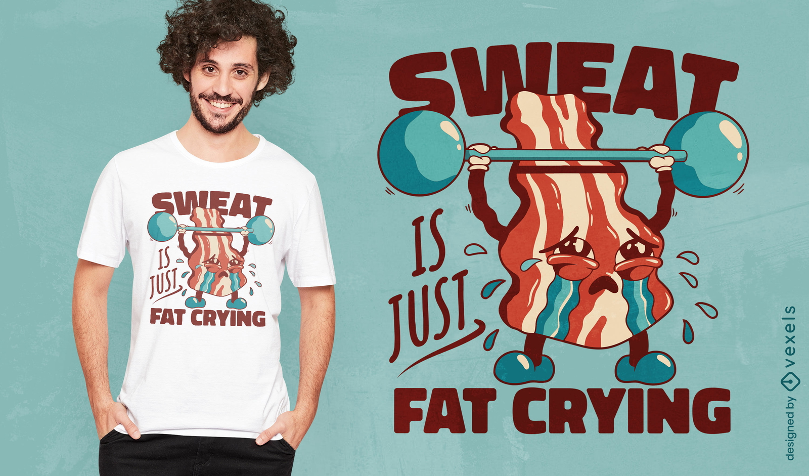
Bacon levantando pesos com design engraçado de camiseta
Escolha uma pasta
Todos os favoritos
Criar novo
Salvar
Bacon levantando pesos com design engraçado de camiseta
Premium
Levantando o distintivo de citação de margarida de flores silvestres Desenho PNG
Escolha uma pasta
Todos os favoritos
Criar novo
Salvar
Levantando o distintivo de citação de margarida de flores silvestres Desenho PNG
Premium
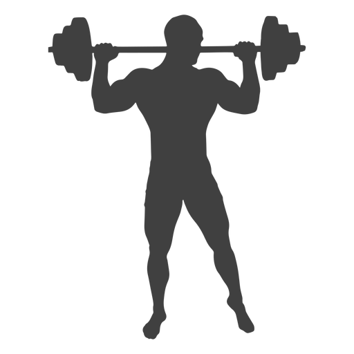
Homem levantando silhueta de barra Desenho PNG
Escolha uma pasta
Todos os favoritos
Criar novo
Salvar
Homem levantando silhueta de barra Desenho PNG
Premium
Silhueta da batuta do maestro subindo Desenho PNG
Escolha uma pasta
Todos os favoritos
Criar novo
Salvar
Silhueta da batuta do maestro subindo Desenho PNG
Premium
Silhueta de casal se beijando levantando a perna da garota Desenho PNG
Escolha uma pasta
Todos os favoritos
Criar novo
Salvar
Silhueta de casal se beijando levantando a perna da garota Desenho PNG
Premium
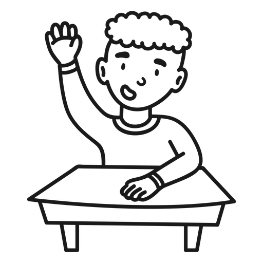
Estudante de menino levantando mão Desenho PNG
Escolha uma pasta
Todos os favoritos
Criar novo
Salvar
Estudante de menino levantando mão Desenho PNG
Premium
Silhueta de mulher fitness levantando pernas em cinza Desenho PNG
Escolha uma pasta
Todos os favoritos
Criar novo
Salvar
Silhueta de mulher fitness levantando pernas em cinza Desenho PNG
texto editável
Pronto para imprimir
para Merch
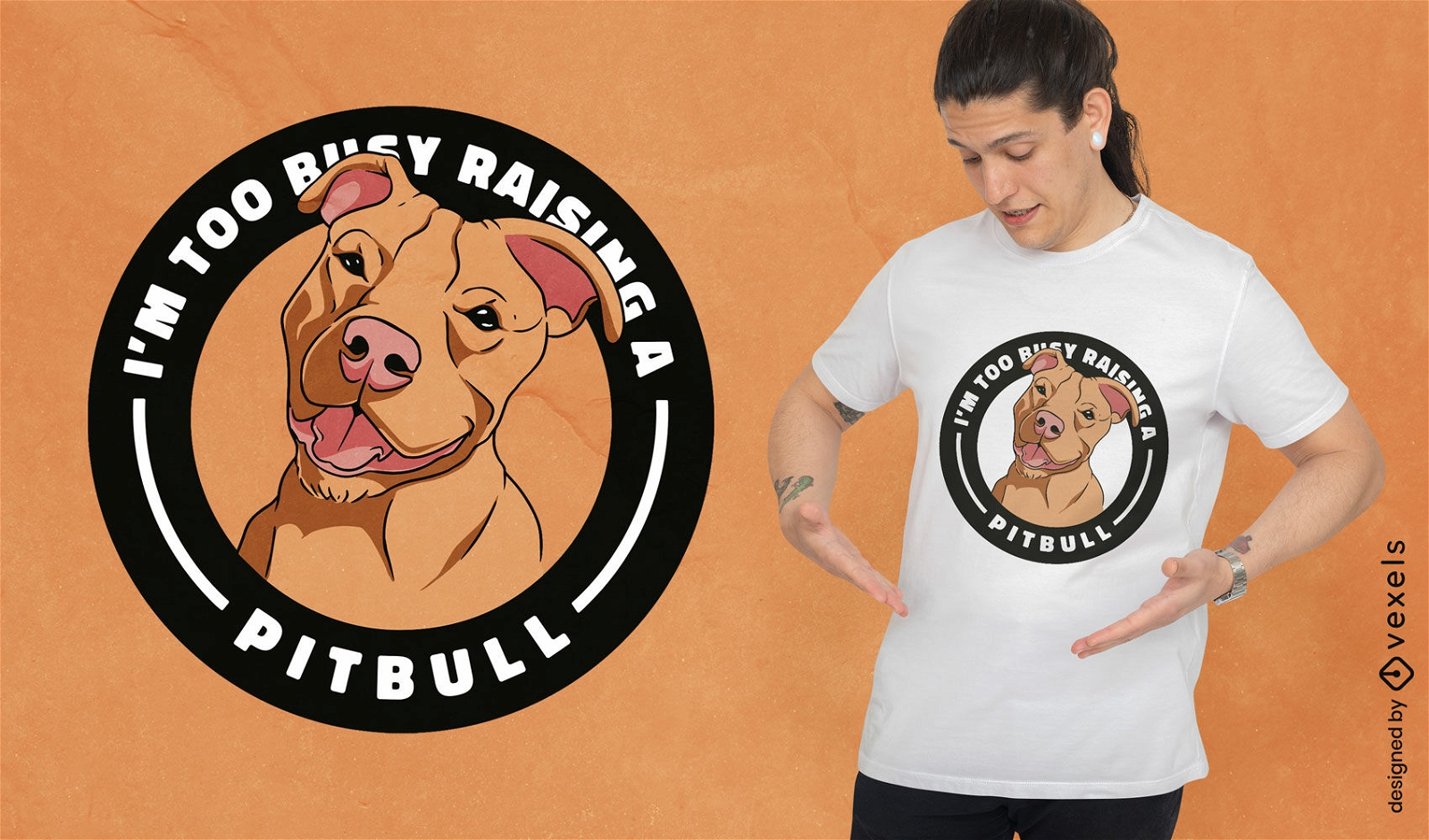
Muito ocupado criando um design de camiseta do Pitbull
Escolha uma pasta
Todos os favoritos
Criar novo
Salvar
Muito ocupado criando um design de camiseta do Pitbull
Premium
Homem levantando silhueta de mulher Desenho PNG
Escolha uma pasta
Todos os favoritos
Criar novo
Salvar
Homem levantando silhueta de mulher Desenho PNG
Premium
Casal abraçando a silhueta levantando Desenho PNG
Escolha uma pasta
Todos os favoritos
Criar novo
Salvar
Casal abraçando a silhueta levantando Desenho PNG
Premium
Pai levantamento filha silueta Desenho PNG
Escolha uma pasta
Todos os favoritos
Criar novo
Salvar
Pai levantamento filha silueta Desenho PNG
Premium
Silhueta de mulher fitness levantando quadril Desenho PNG
Escolha uma pasta
Todos os favoritos
Criar novo
Salvar
Silhueta de mulher fitness levantando quadril Desenho PNG
Premium
Pai levantamento filho silueta Desenho PNG
Escolha uma pasta
Todos os favoritos
Criar novo
Salvar
Pai levantamento filho silueta Desenho PNG
Premium
Silhueta de mulher fitness levantando quadris Desenho PNG
Escolha uma pasta
Todos os favoritos
Criar novo
Salvar
Silhueta de mulher fitness levantando quadris Desenho PNG
Premium
Mulher dançarina de flamenco levantando a silhueta Desenho PNG
Escolha uma pasta
Todos os favoritos
Criar novo
Salvar
Mulher dançarina de flamenco levantando a silhueta Desenho PNG
Vaca de ioga levantando seu traço de cor de perna Desenho PNG
Escolha uma pasta
Todos os favoritos
Criar novo
Salvar
Vaca de ioga levantando seu traço de cor de perna Desenho PNG
Silhueta de sinos de chaleira levantando Desenho PNG
Escolha uma pasta
Todos os favoritos
Criar novo
Salvar
Silhueta de sinos de chaleira levantando Desenho PNG
Premium
Silhueta de mulher fitness levantando pernas Desenho PNG
Escolha uma pasta
Todos os favoritos
Criar novo
Salvar
Silhueta de mulher fitness levantando pernas Desenho PNG
Premium
Trabalhador da construção civil levantando silhueta Desenho PNG
Escolha uma pasta
Todos os favoritos
Criar novo
Salvar
Trabalhador da construção civil levantando silhueta Desenho PNG
Premium
Homem dançarino de flamenco levantando a silhueta Desenho PNG
Escolha uma pasta
Todos os favoritos
Criar novo
Salvar
Homem dançarino de flamenco levantando a silhueta Desenho PNG
Premium
Dançarina de balé levantando a perna Desenho PNG
Escolha uma pasta
Todos os favoritos
Criar novo
Salvar
Dançarina de balé levantando a perna Desenho PNG
Yeti levantando árvore Desenho PNG
Escolha uma pasta
Todos os favoritos
Criar novo
Salvar
Yeti levantando árvore Desenho PNG
Premium
Rapaz levantando silhueta de namorada Desenho PNG
Escolha uma pasta
Todos os favoritos
Criar novo
Salvar
Rapaz levantando silhueta de namorada Desenho PNG
Premium
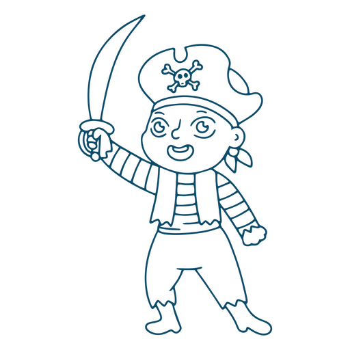
Menino pirata levantando espada Desenho PNG
Escolha uma pasta
Todos os favoritos
Criar novo
Salvar
Menino pirata levantando espada Desenho PNG
Homem levantamento par mulher curso Desenho PNG
Escolha uma pasta
Todos os favoritos
Criar novo
Salvar
Homem levantamento par mulher curso Desenho PNG
Premium
Ilustração básica de levantamento de mãos para pós-graduação Desenho PNG
Escolha uma pasta
Todos os favoritos
Criar novo
Salvar
Ilustração básica de levantamento de mãos para pós-graduação Desenho PNG
Yeti levantando iglu Desenho PNG
Escolha uma pasta
Todos os favoritos
Criar novo
Salvar
Yeti levantando iglu Desenho PNG
Príncipe fofo levantando a mão Desenho PNG
Escolha uma pasta
Todos os favoritos
Criar novo
Salvar
Príncipe fofo levantando a mão Desenho PNG
Premium
Mulher levantando sacolas de compras Desenho PNG
Escolha uma pasta
Todos os favoritos
Criar novo
Salvar
Mulher levantando sacolas de compras Desenho PNG
Pronto para imprimir
para Merch
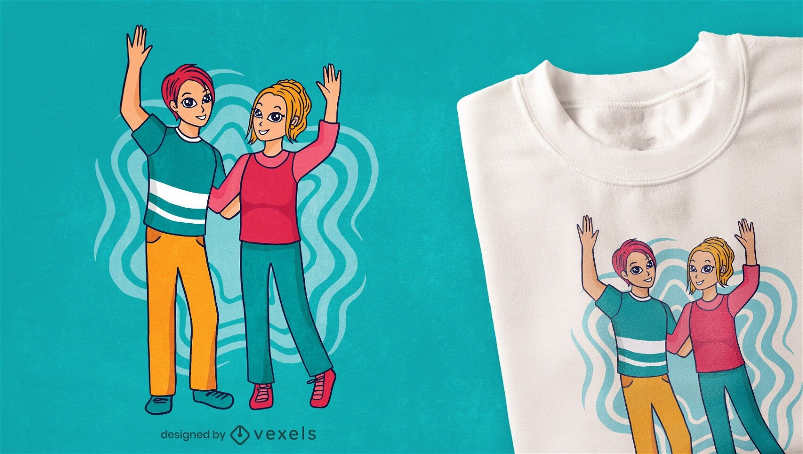
Desenho de t-shirt de homem e mulher levantando as mãos
Escolha uma pasta
Todos os favoritos
Criar novo
Salvar
Desenho de t-shirt de homem e mulher levantando as mãos
Premium
Mãos subindo a copa do mundo Desenho PNG
Escolha uma pasta
Todos os favoritos
Criar novo
Salvar
Mãos subindo a copa do mundo Desenho PNG
Homem levantando mulher em apartamento Desenho PNG
Escolha uma pasta
Todos os favoritos
Criar novo
Salvar
Homem levantando mulher em apartamento Desenho PNG
Impulsione seu negócio
Com a plataforma gráfica líder de mercado.
Ver planos
Próxima
do 7
prev page
next page