Biblioteca de design
Novos designs Merch
Camisetas
Vectores
Designs de Merch de Tendência
PNGs & SVGs
Mockups
Modelos de T-Shirt PSD
Explorar Desenhos
Designs KDP
Pôsteres
Canecas
Capas para celular
Sacos de compras
Almofadas
Ferramentas de desenho
Merch Designer
Novo!
Mockup Generator
Gerador de Design de AI
Vetorizador
Quote Generator
T-Shirt Maker (Antigo)
Ajuda
Merch Digest
Blog
Centro de Ajuda
Saiba mais sobre o Merch
Feedback
Soluções Corporativas
Empresa
Acesso à API
Estúdio de Design
Design em Lote
Preços
Carregando...
Inscrever-se
Conecte-se
All
levantando
Biblioteca de design
Novos designs Merch
Camisetas
Vectores
Designs de Merch de Tendência
PNGs & SVGs
Mockups
Modelos de T-Shirt PSD
Explorar Desenhos
Designs KDP
Pôsteres
Canecas
Capas para celular
Sacos de compras
Almofadas
Ferramentas de desenho
Merch Designer
Novo!
Mockup Generator
Gerador de Design de AI
Vetorizador
Quote Generator
T-Shirt Maker (Antigo)
Ajuda
Merch Digest
Blog
Centro de Ajuda
Saiba mais sobre o Merch
Feedback
Soluções Corporativas
Empresa
Acesso à API
Estúdio de Design
Design em Lote
PLANOS
All
levantando
312 Gráficos e Designs de levantando para Camisetas e Merch print on demand
Baixar designs de camisetas e para merch, como capas de livro, capas de celular, tote bags e mais de levantando
Relacionado:
levantando as mãos
,
levantando pesos
,
levantando jogadores
Ordenar por
Mais relevante
Resultados patrocinados da
Ganhe 15% de desconto com o código: VEXELS15
veja mais detalhes
Gerado por IA, selecionado por nossos designers.
para Merch
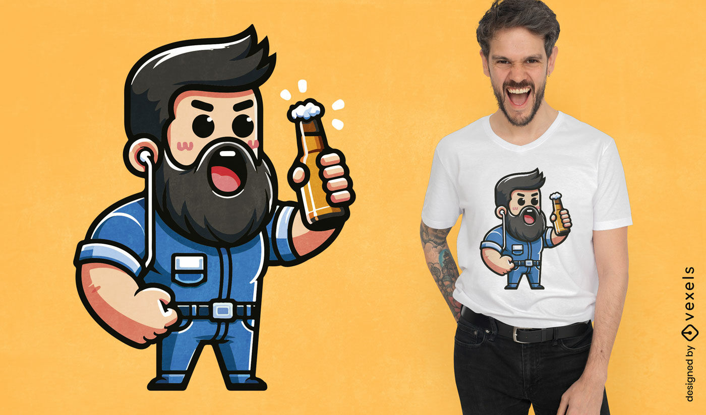
Design de camiseta de homem barbudo com cerveja
Escolha uma pasta
Todos os favoritos
Criar novo
Salvar
Design de camiseta de homem barbudo com cerveja
texto editável
Pronto para imprimir
para Merch
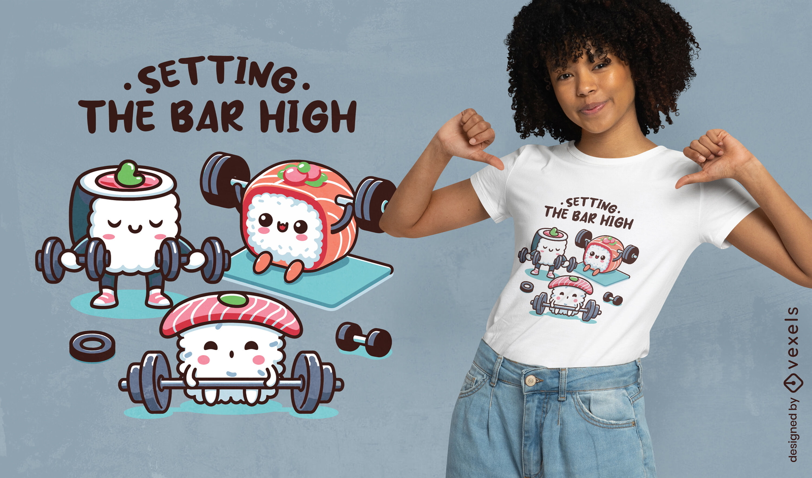
Design de camiseta de treino de sushi
Escolha uma pasta
Todos os favoritos
Criar novo
Salvar
Design de camiseta de treino de sushi
Gerado por IA, selecionado por nossos designers.
para Merch
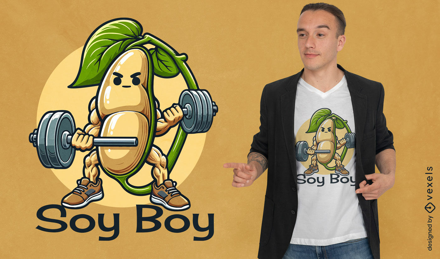
Design de camiseta com trocadilho com o menino soja
Escolha uma pasta
Todos os favoritos
Criar novo
Salvar
Design de camiseta com trocadilho com o menino soja
Pronto para imprimir
para Merch
Design de camiseta de Halloween de mão de zumbi
Escolha uma pasta
Todos os favoritos
Criar novo
Salvar
Design de camiseta de Halloween de mão de zumbi
Gerado por IA, selecionado por nossos designers.
para Merch
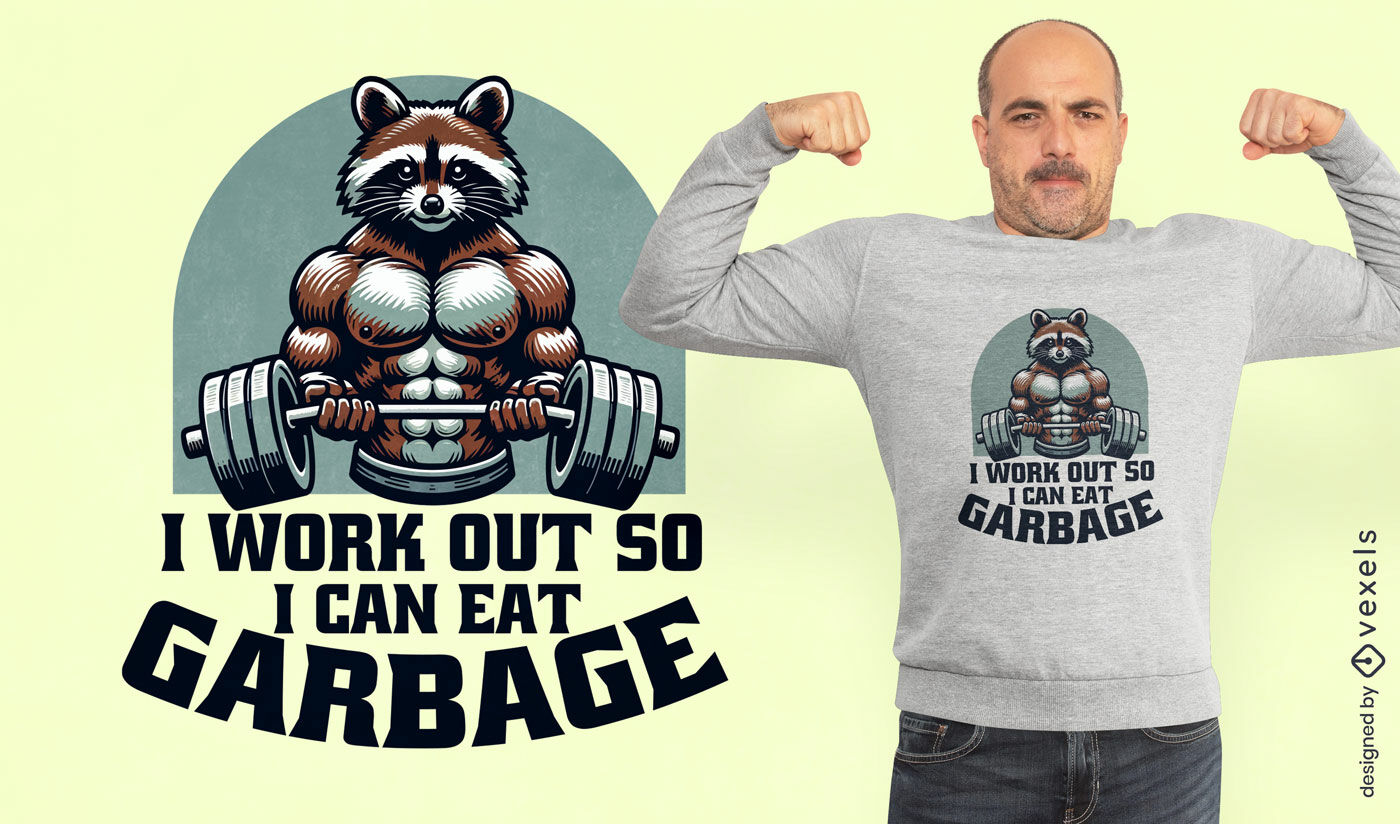
Design de camiseta com citação de treino de guaxinim Buff
Escolha uma pasta
Todos os favoritos
Criar novo
Salvar
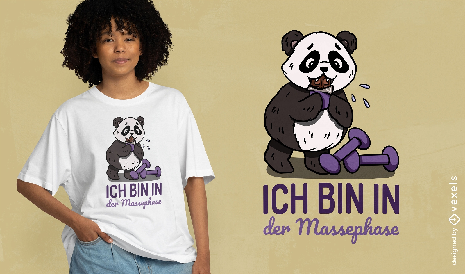
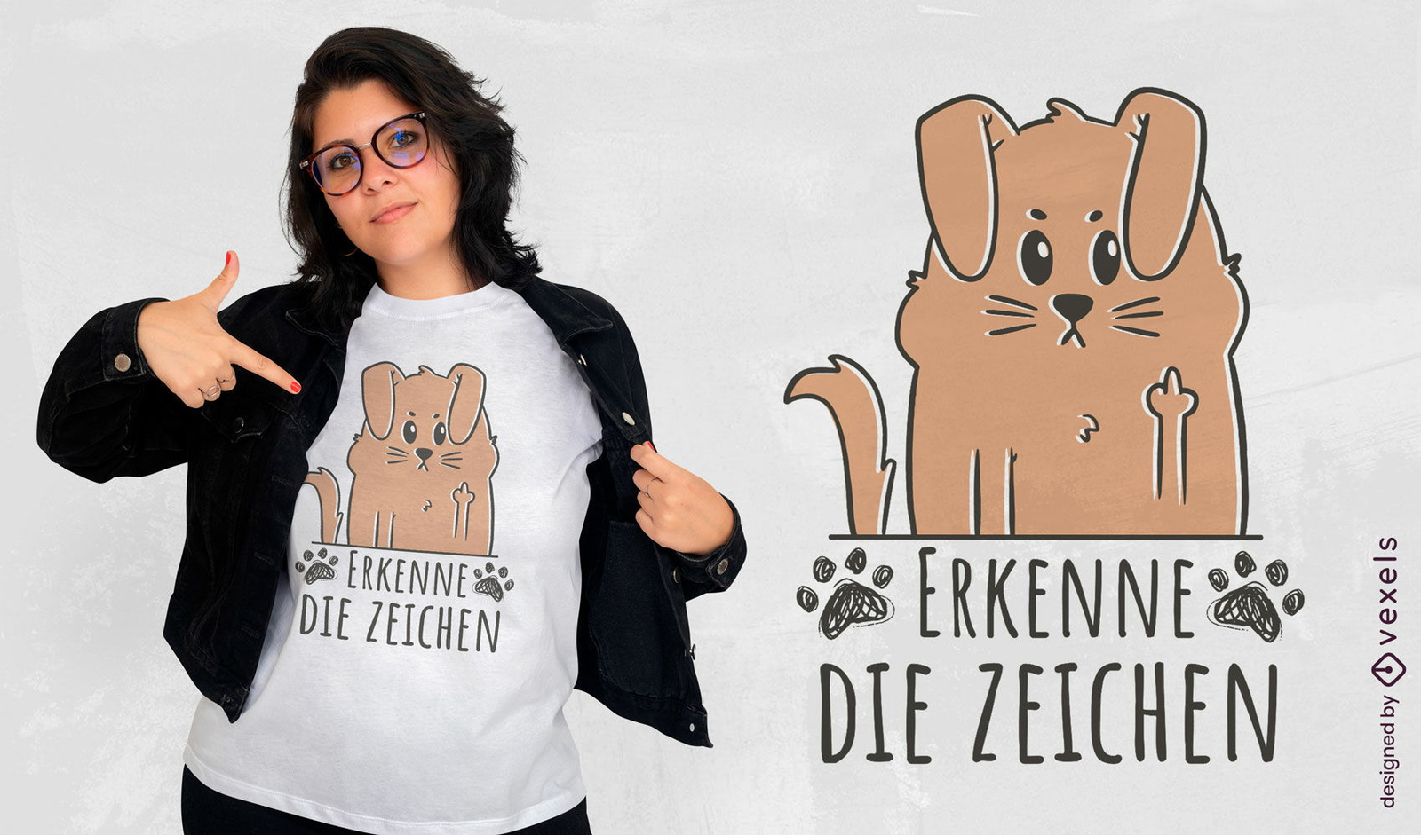
Design de camiseta com citação de treino de guaxinim Buff
Conteúdo em alemão
Pronto para imprimir
para Merch
Design de camiseta panda para treino
Escolha uma pasta
Todos os favoritos
Criar novo
Salvar
Design de camiseta panda para treino
texto editável
Pronto para imprimir
para Merch
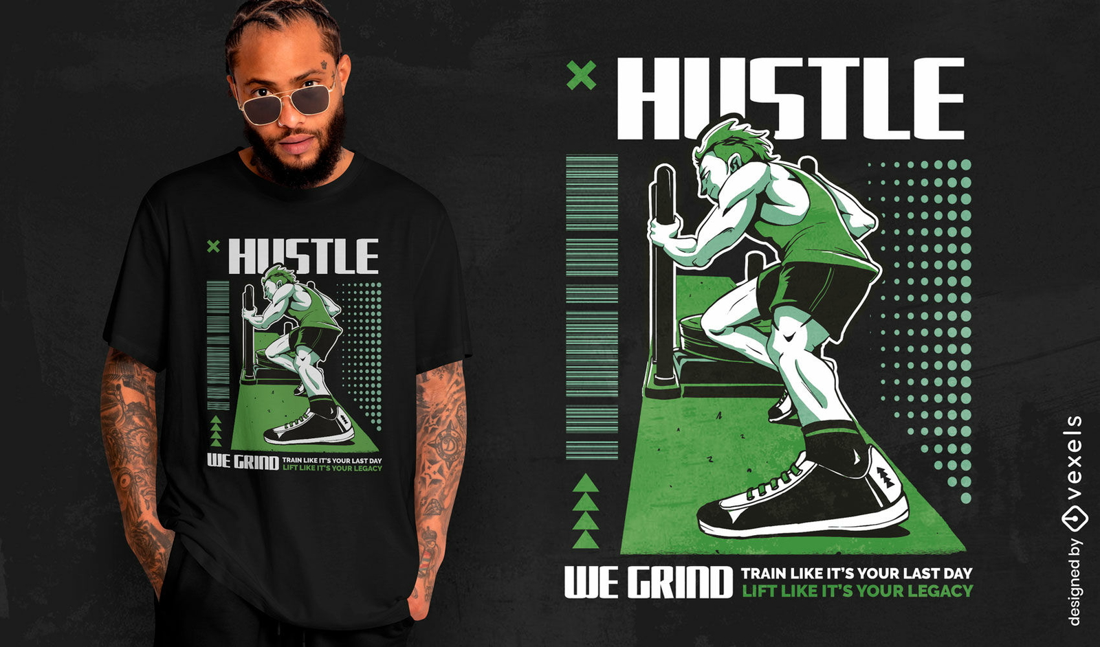
Design de camiseta Hustle we grind
Escolha uma pasta
Todos os favoritos
Criar novo
Salvar
Design de camiseta Hustle we grind
Pronto para imprimir
para Merch
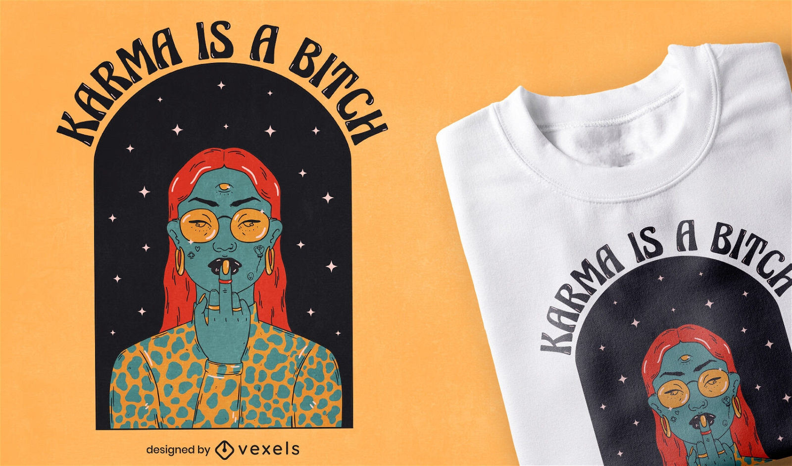
Mulher com terceiro olho e desenho de t-shirt com tatuagens
Escolha uma pasta
Todos os favoritos
Criar novo
Salvar
Mulher com terceiro olho e desenho de t-shirt com tatuagens
texto editável
Pronto para imprimir
para Merch
Design de camiseta fitness básica
Escolha uma pasta
Todos os favoritos
Criar novo
Salvar
Design de camiseta fitness básica
Premium
Ilustração de condicionamento físico forte com kettlebell Desenho PNG
Escolha uma pasta
Todos os favoritos
Criar novo
Salvar
Ilustração de condicionamento físico forte com kettlebell Desenho PNG
Premium
Desenho de mãos sagradas segurando o símbolo da comunhão Desenho PNG
Escolha uma pasta
Todos os favoritos
Criar novo
Salvar
Desenho de mãos sagradas segurando o símbolo da comunhão Desenho PNG
Editar online
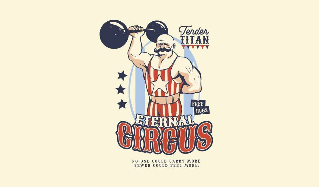
Modelo de design para camiseta Design gráfico de homem forte de circo vintage
Escolha uma pasta
Todos os favoritos
Criar novo
Salvar
Modelo de design para camiseta Design gráfico de homem forte de circo vintage
Editar online
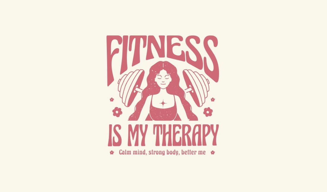
Modelo de design para camiseta Design de citação de terapia de condicionamento físico fortalecedora
Escolha uma pasta
Todos os favoritos
Criar novo
Salvar
Modelo de design para camiseta Design de citação de terapia de condicionamento físico fortalecedora
Editar online
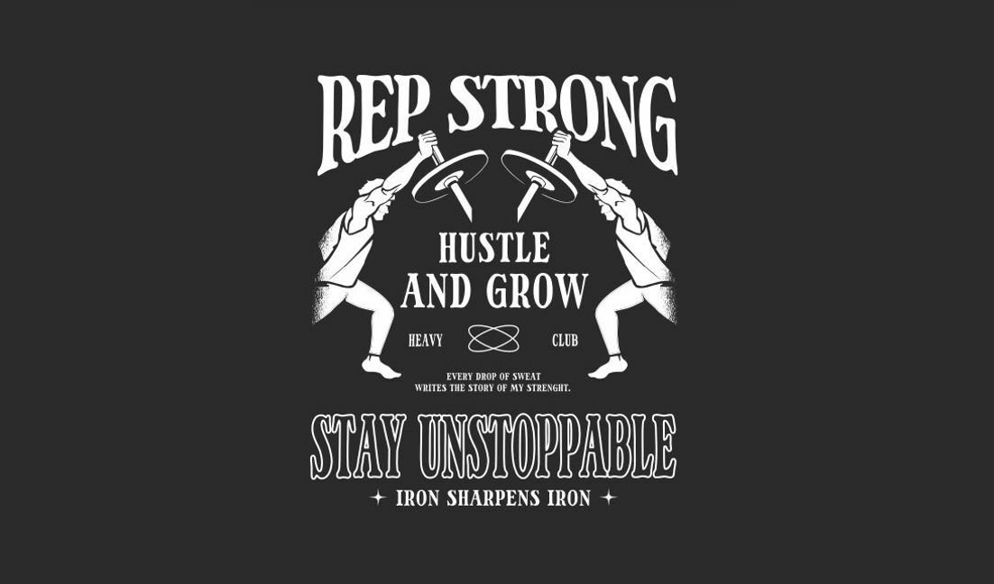
Modelo de design para camiseta Design de citação motivacional sobre condicionamento físico
Escolha uma pasta
Todos os favoritos
Criar novo
Salvar
Modelo de design para camiseta Design de citação motivacional sobre condicionamento físico
Editar online
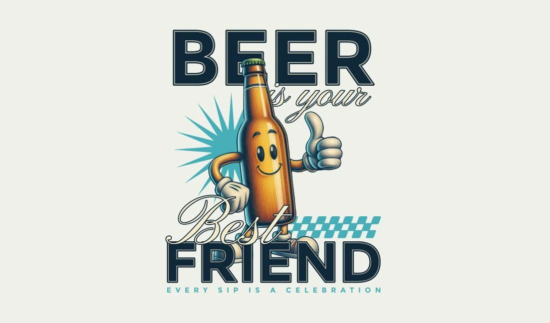
Modelo de design para camiseta Design de citação divertida sobre amizade e cerveja
Escolha uma pasta
Todos os favoritos
Criar novo
Salvar
Modelo de design para camiseta Design de citação divertida sobre amizade e cerveja
Premium
Design de personagem de macaco brincalhão para a celebração do ano novo lunar Desenho PNG
Escolha uma pasta
Todos os favoritos
Criar novo
Salvar
Design de personagem de macaco brincalhão para a celebração do ano novo lunar Desenho PNG
Pronto para imprimir
para Merch
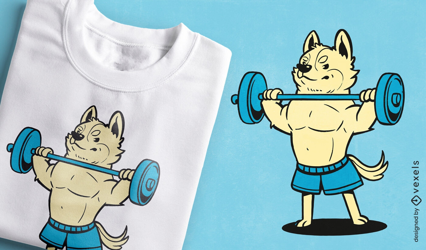
Design forte de camiseta para levantamento de cachorro
Escolha uma pasta
Todos os favoritos
Criar novo
Salvar
Design forte de camiseta para levantamento de cachorro
Premium
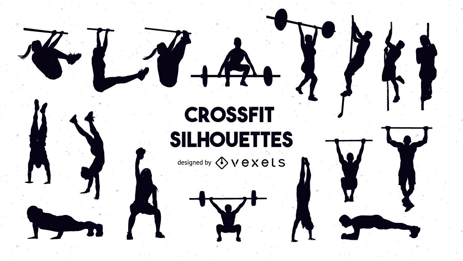
Conjunto de silhueta crossfit
Escolha uma pasta
Todos os favoritos
Criar novo
Salvar
Conjunto de silhueta crossfit
Pronto para imprimir
para Merch
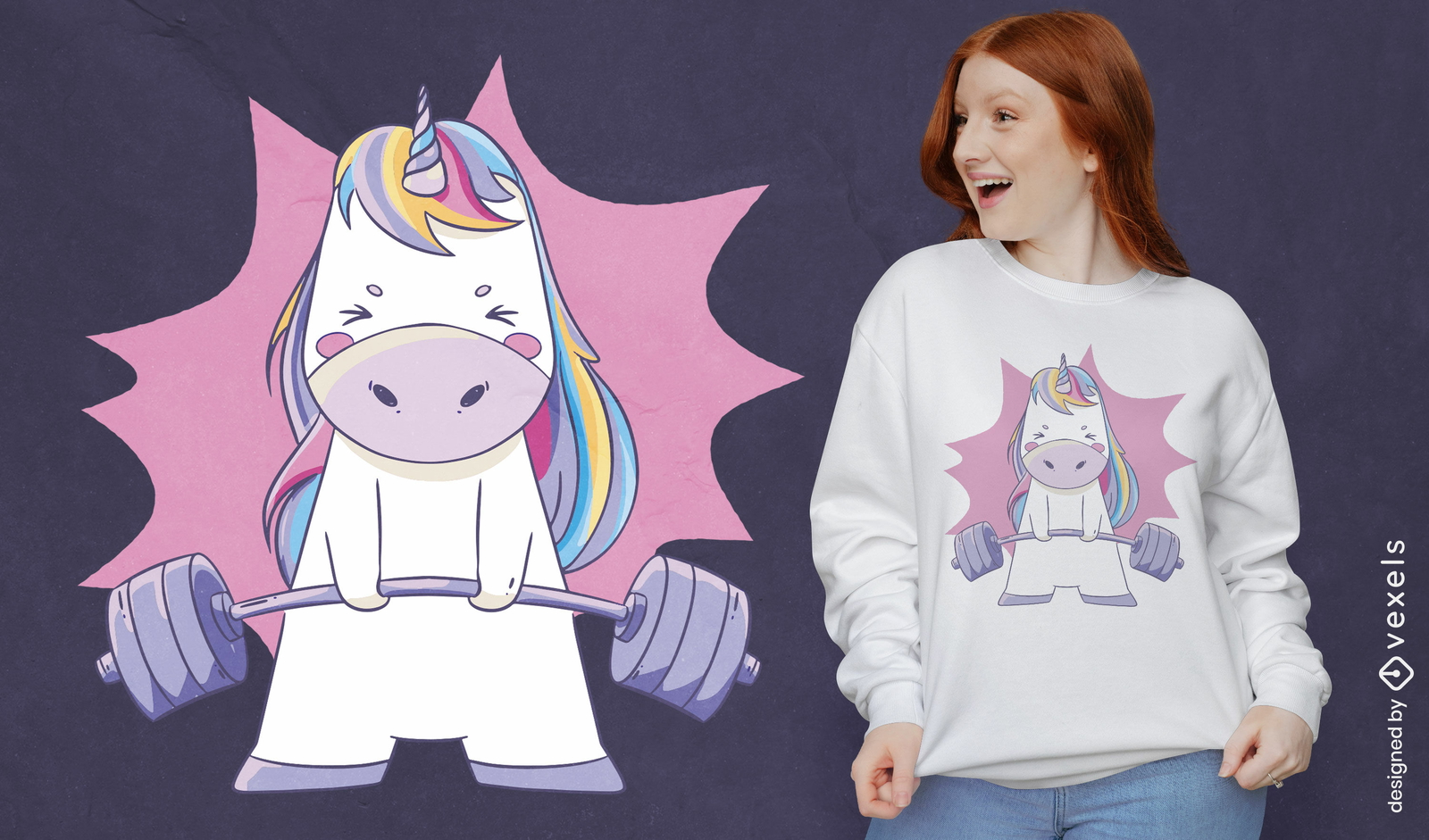
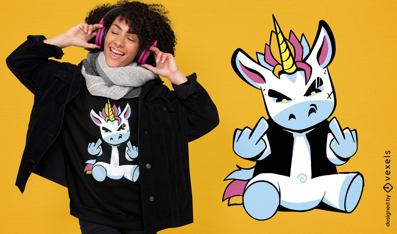
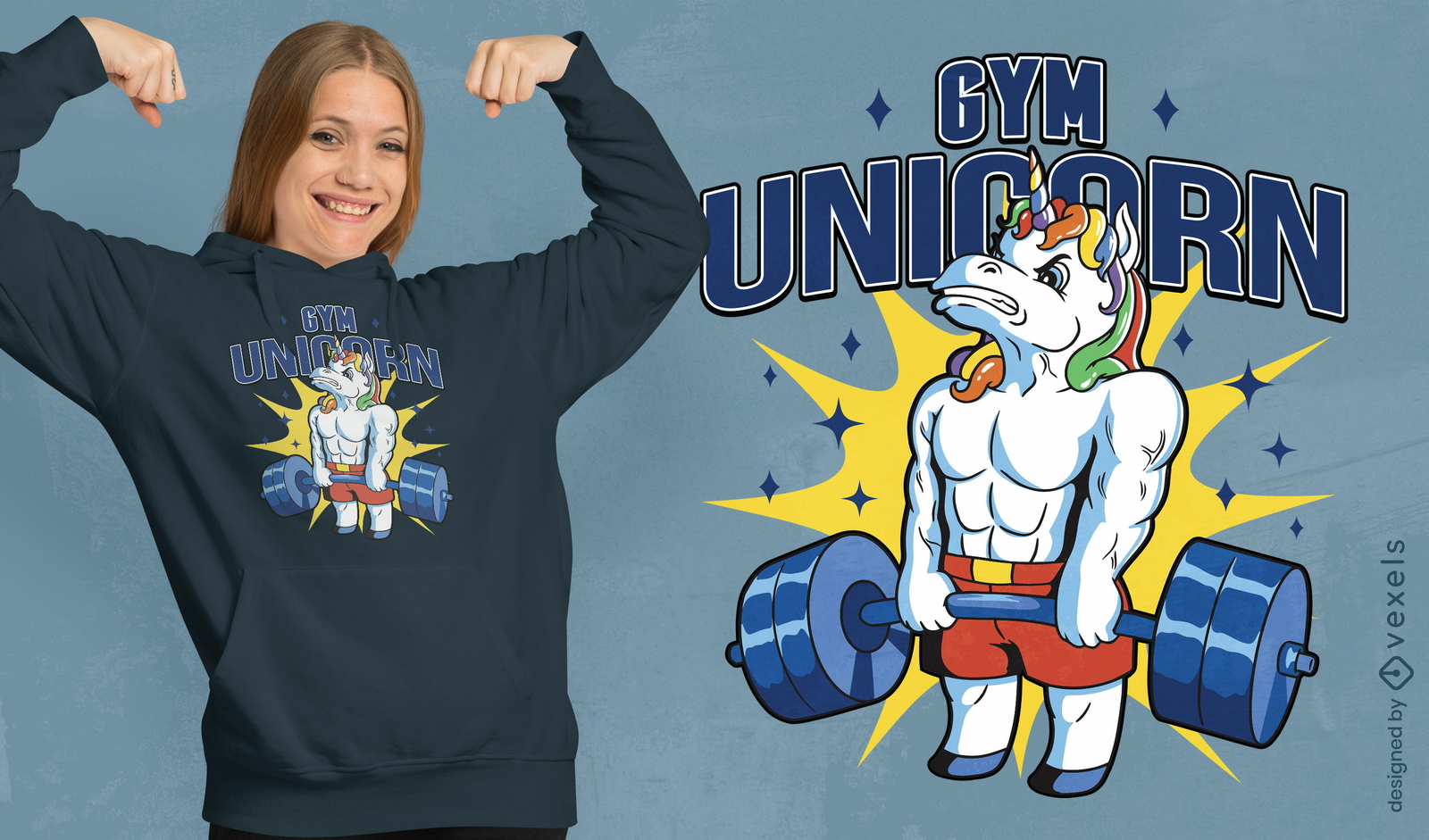
Design de t-shirt de levantamento de pesos de unicórnio fofo
Escolha uma pasta
Todos os favoritos
Criar novo
Salvar
Design de t-shirt de levantamento de pesos de unicórnio fofo
Pronto para imprimir
para Merch
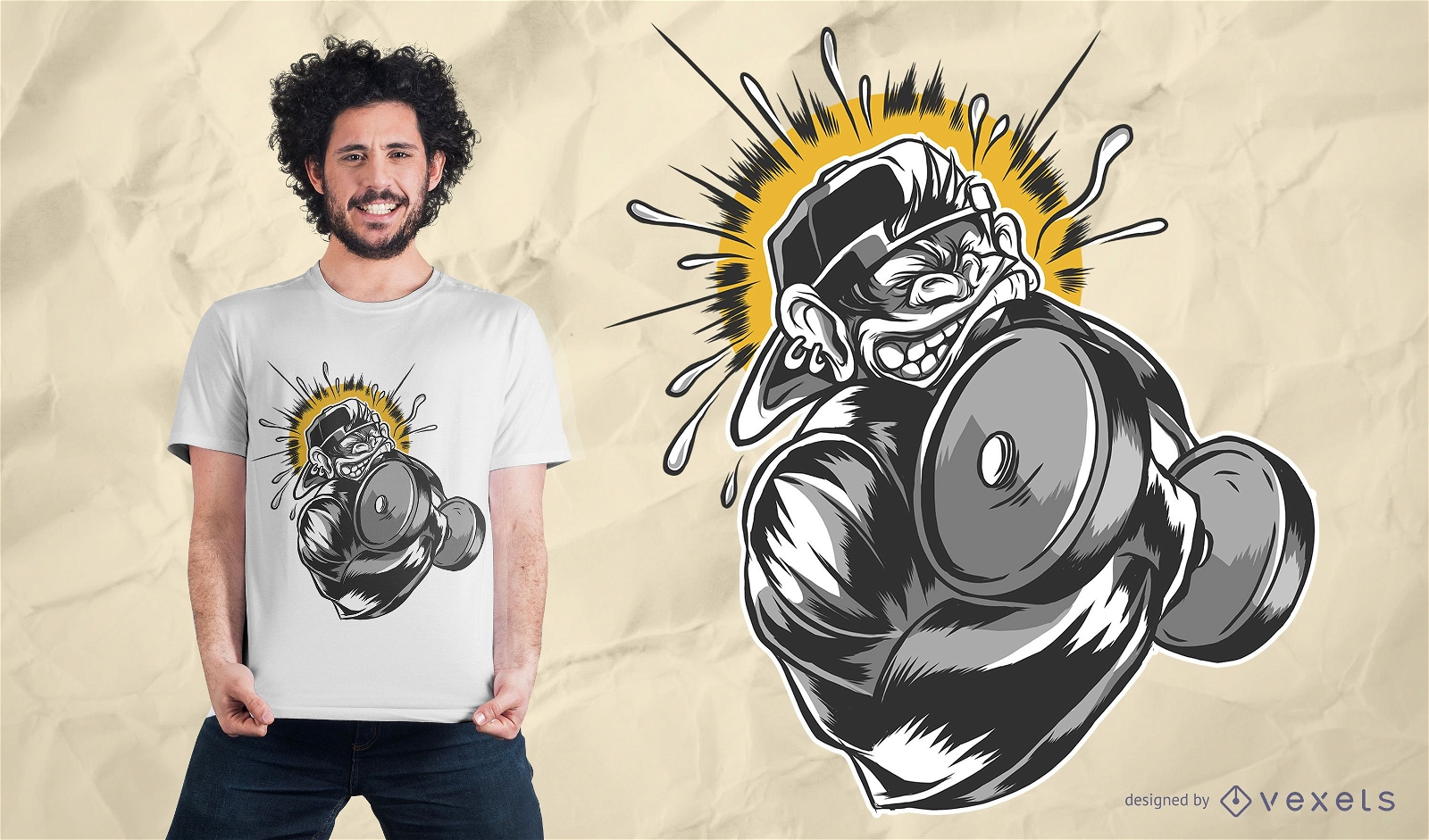
Design de camiseta com halteres de macaco
Escolha uma pasta
Todos os favoritos
Criar novo
Salvar
Design de camiseta com halteres de macaco
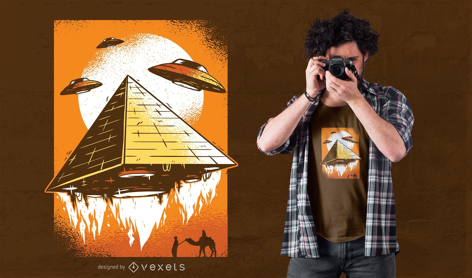
para Merch
Design de camiseta pirâmide ufo
Escolha uma pasta
Todos os favoritos
Criar novo
Salvar
Design de camiseta pirâmide ufo
Pronto para imprimir
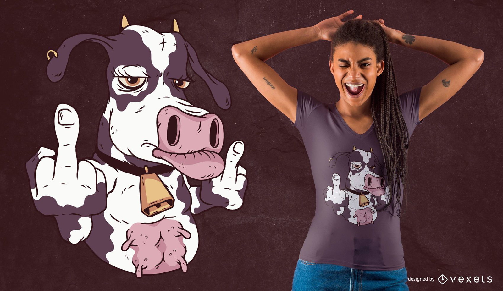
para Merch
Design legal de camisetas de vaca
Escolha uma pasta
Todos os favoritos
Criar novo
Salvar
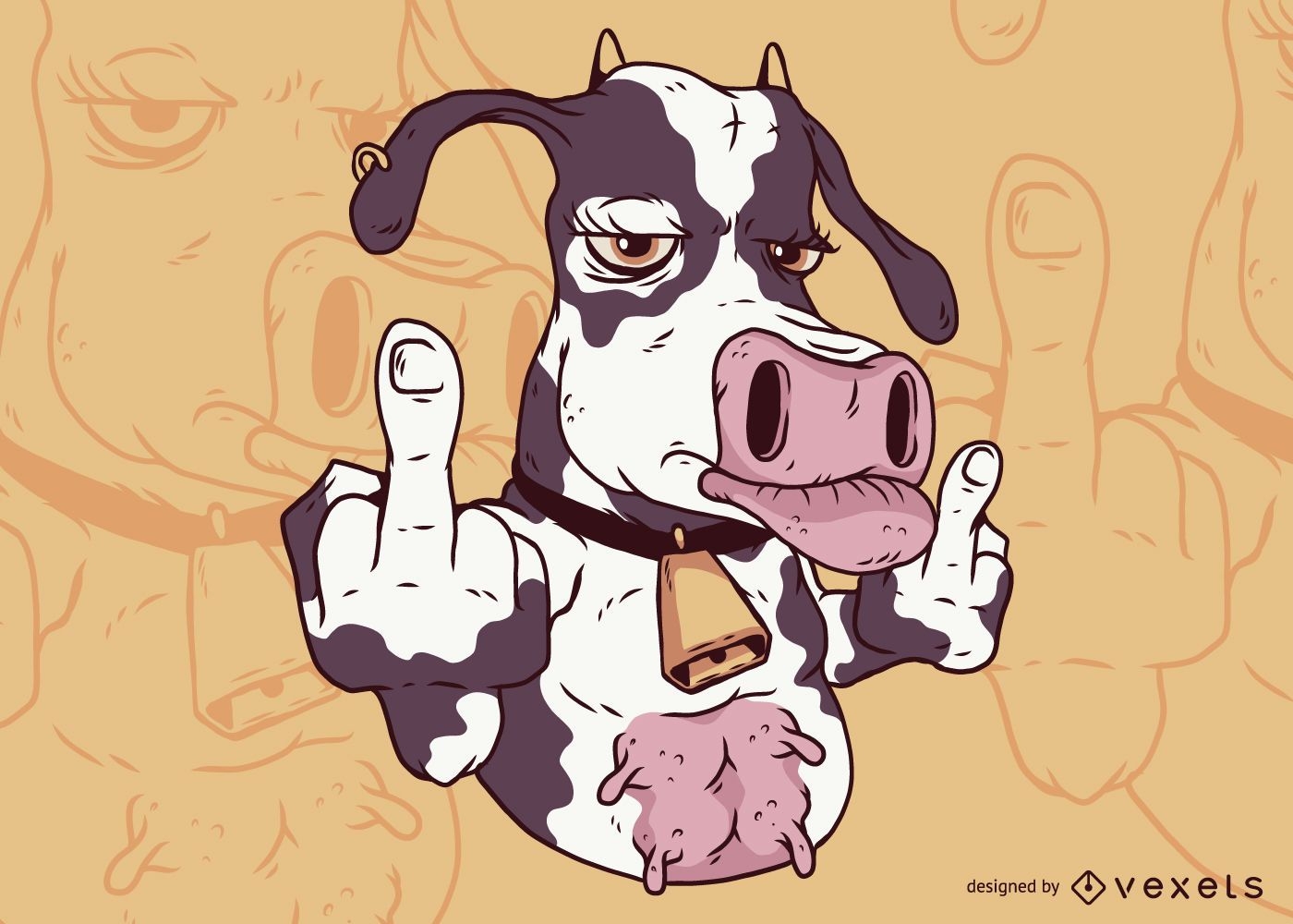
Design legal de camisetas de vaca
Dedo Médio de Vaca
Escolha uma pasta
Todos os favoritos
Criar novo
Salvar
Dedo Médio de Vaca
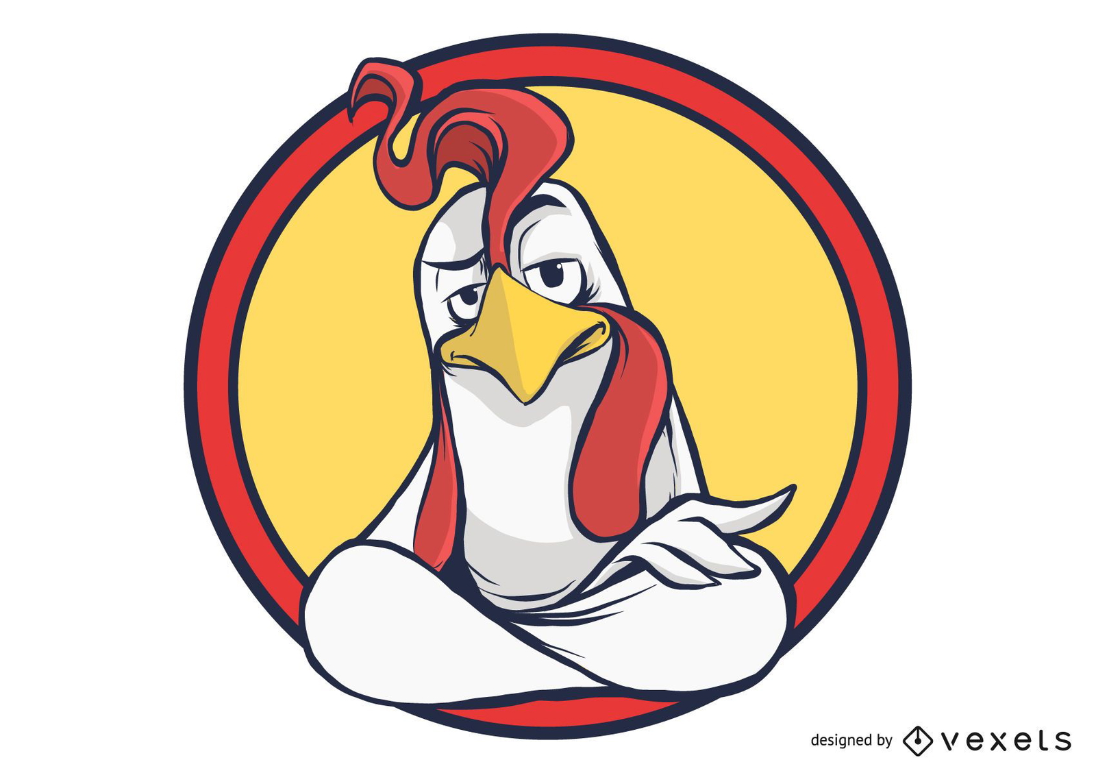
Desenho de galo dentro dos círculos
Escolha uma pasta
Todos os favoritos
Criar novo
Salvar
Desenho de galo dentro dos círculos
Pronto para imprimir
para Merch
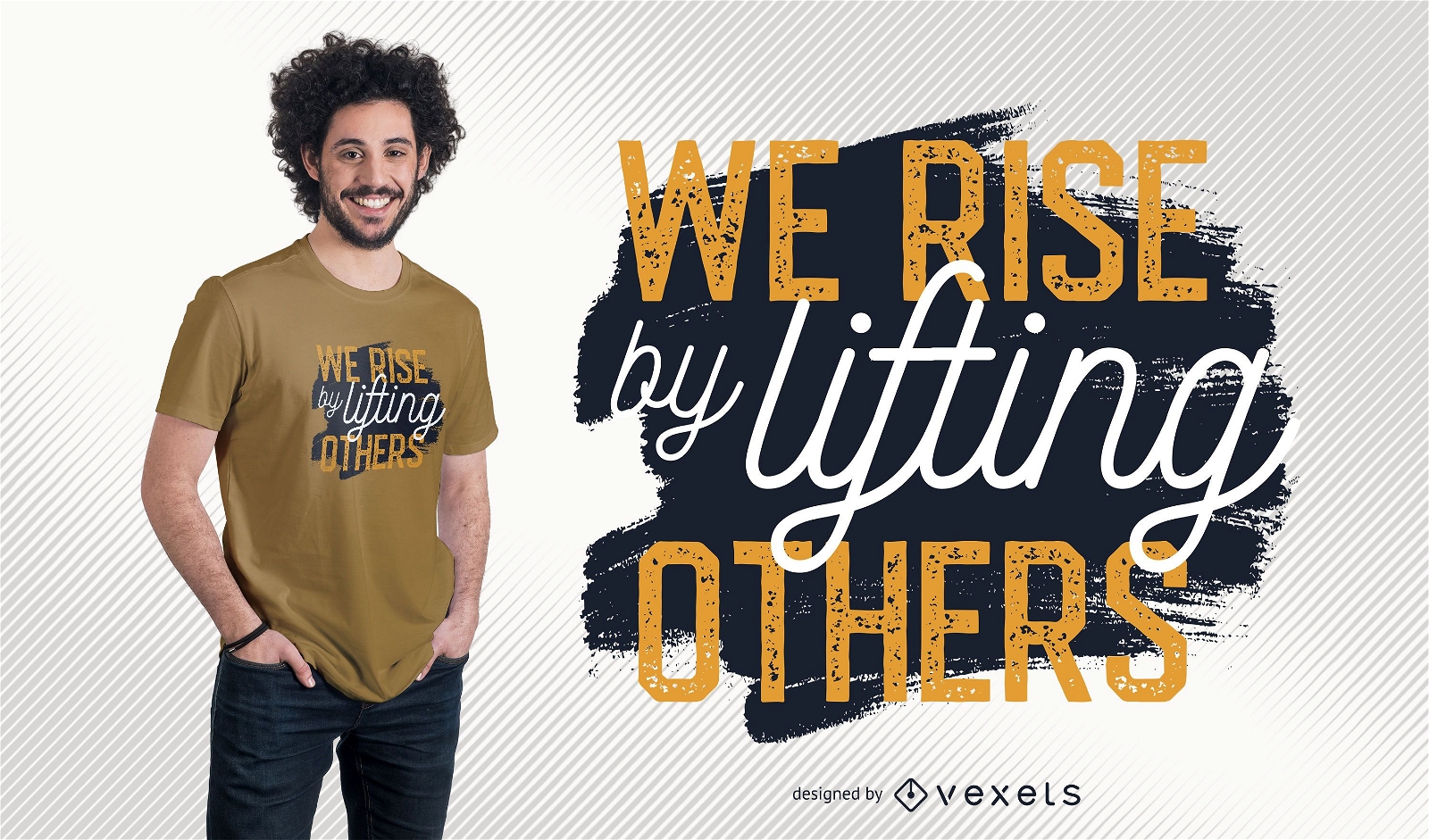
Design de camiseta com citação motivacional
Escolha uma pasta
Todos os favoritos
Criar novo
Salvar
Design de camiseta com citação motivacional
Pronto para imprimir
para Merch
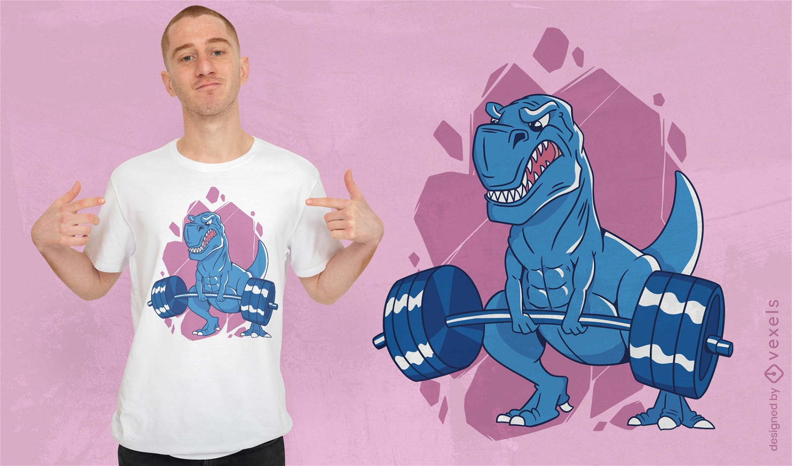
Design de camiseta de levantamento de pesos de dinossauro T-rex
Escolha uma pasta
Todos os favoritos
Criar novo
Salvar
Design de camiseta de levantamento de pesos de dinossauro T-rex
Pronto para imprimir
para Merch
Design fofo de camiseta punk com unicr?nio
Escolha uma pasta
Todos os favoritos
Criar novo
Salvar
Design fofo de camiseta punk com unicr?nio
texto editável
Pronto para imprimir
para Merch
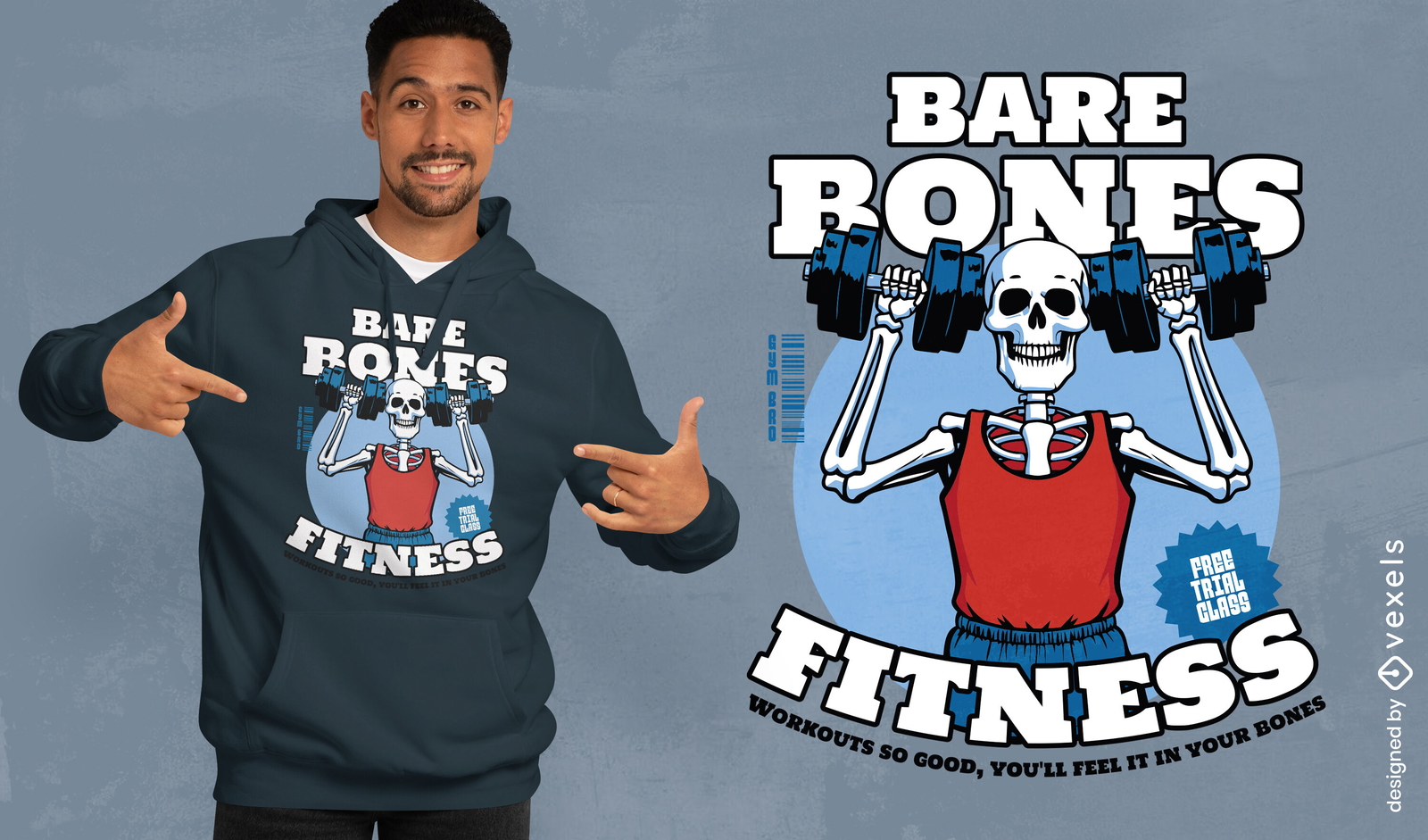
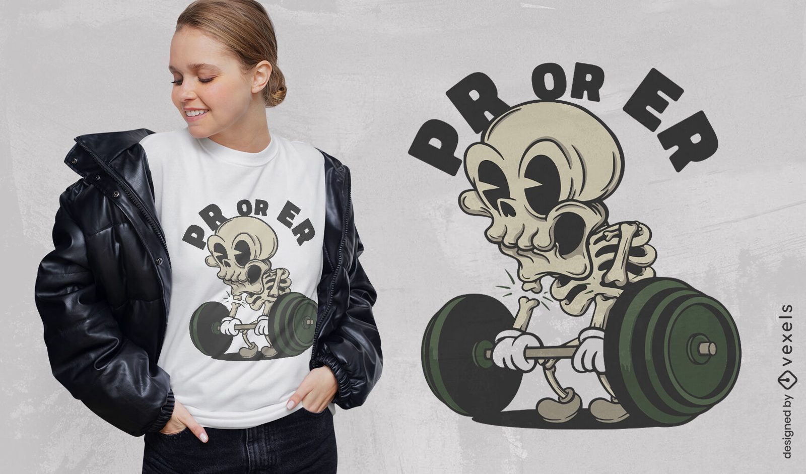
Design de camiseta de esqueleto de academia
Escolha uma pasta
Todos os favoritos
Criar novo
Salvar
Design de camiseta de esqueleto de academia
Pronto para imprimir
para Merch
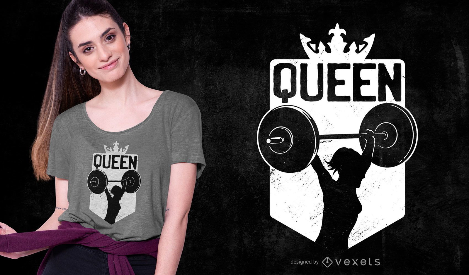
Design de camiseta rainha do halterofilismo
Escolha uma pasta
Todos os favoritos
Criar novo
Salvar
Design de camiseta rainha do halterofilismo
Pronto para imprimir
para Merch
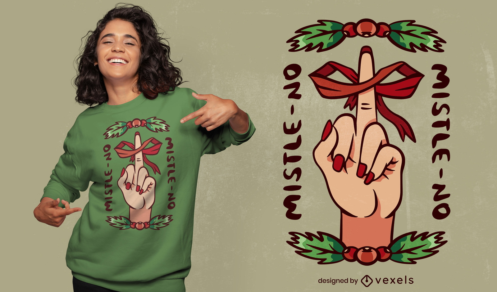
Design engraçado de camiseta anti-Natal
Escolha uma pasta
Todos os favoritos
Criar novo
Salvar
Design engraçado de camiseta anti-Natal
Pronto para imprimir
para Merch
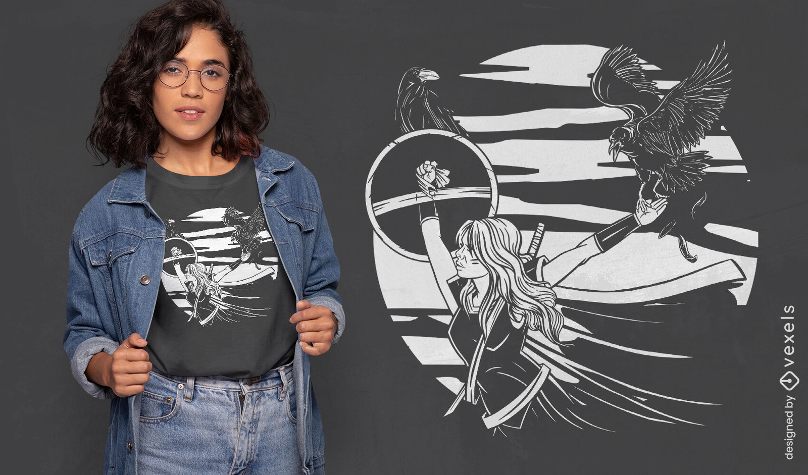
Design de camiseta de mulher guerreira nórdica viking
Escolha uma pasta
Todos os favoritos
Criar novo
Salvar
Design de camiseta de mulher guerreira nórdica viking
Pronto para imprimir
para Merch
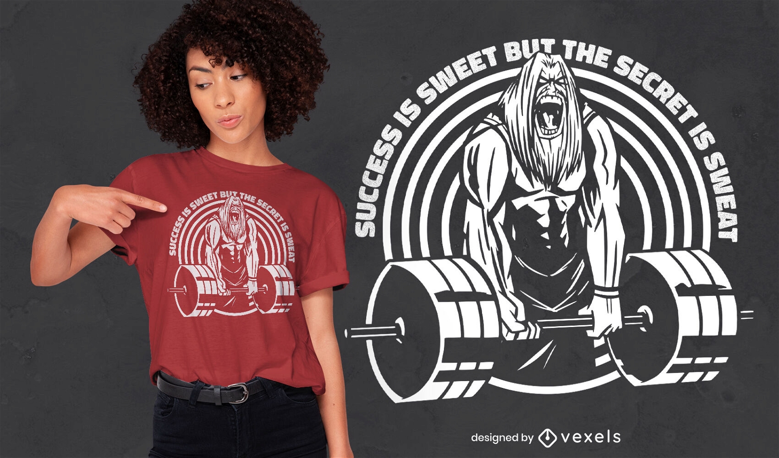
Design de camisetas masculinas de fisiculturismo
Escolha uma pasta
Todos os favoritos
Criar novo
Salvar
Design de camisetas masculinas de fisiculturismo
Pronto para imprimir
para Merch
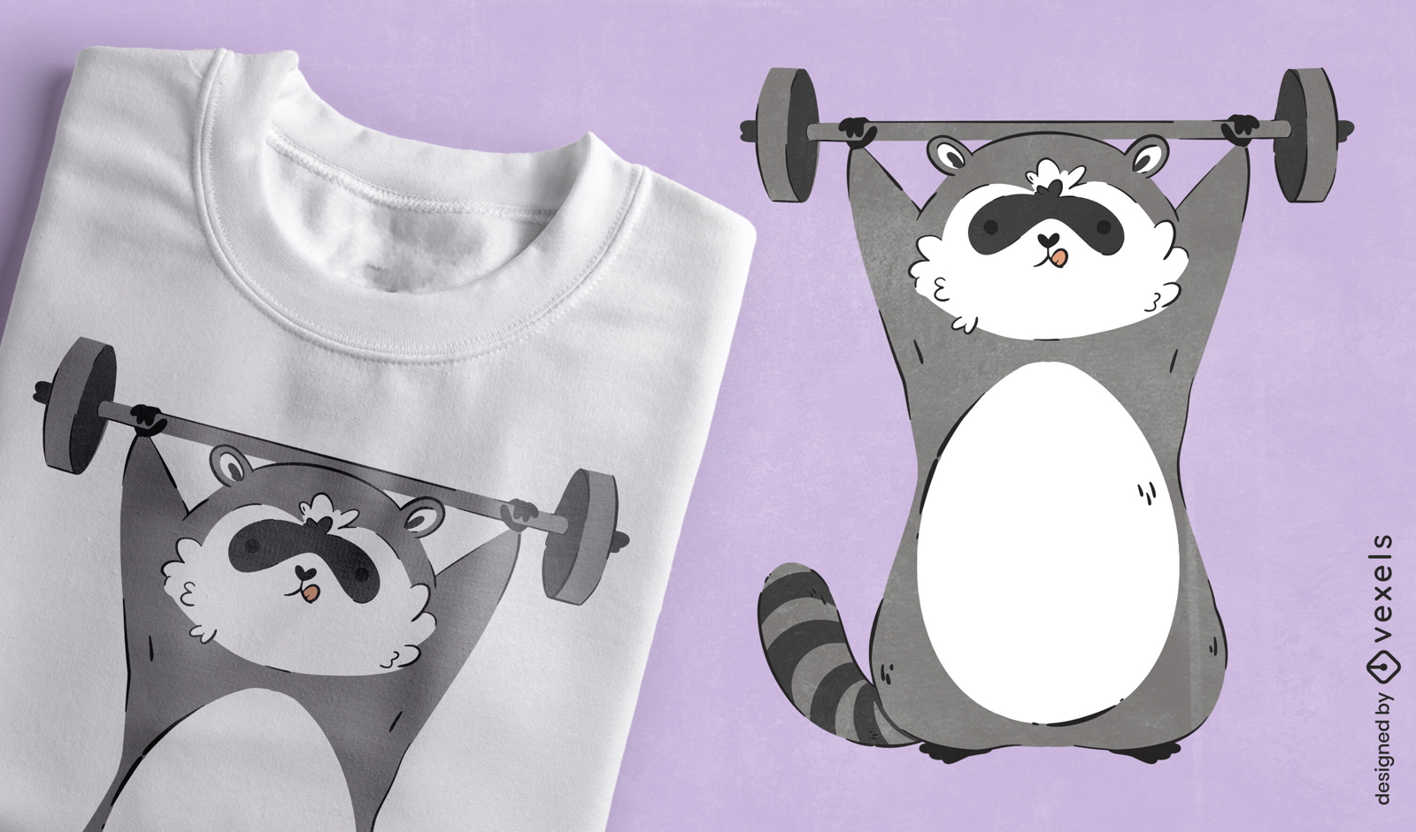
Guaxinim malhando design de camiseta
Escolha uma pasta
Todos os favoritos
Criar novo
Salvar
Guaxinim malhando design de camiseta
texto editável
Pronto para imprimir
para Merch
Design de camiseta de unicórnio fitness
Escolha uma pasta
Todos os favoritos
Criar novo
Salvar
Design de camiseta de unicórnio fitness
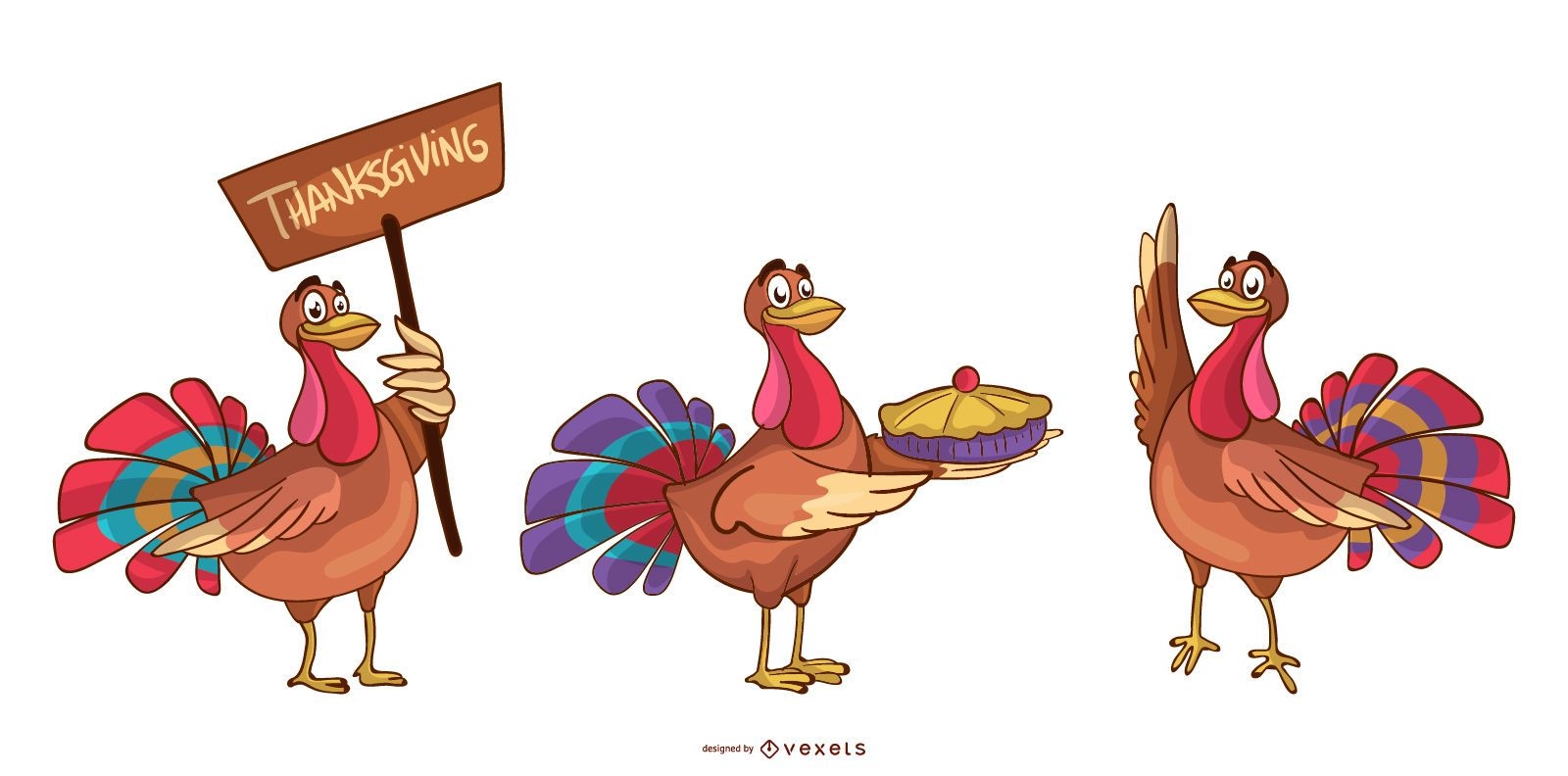
Conjunto de desenhos animados de perus para o Dia de Ação de Graças
Escolha uma pasta
Todos os favoritos
Criar novo
Salvar
Conjunto de desenhos animados de perus para o Dia de Ação de Graças
Pronto para imprimir
para Merch
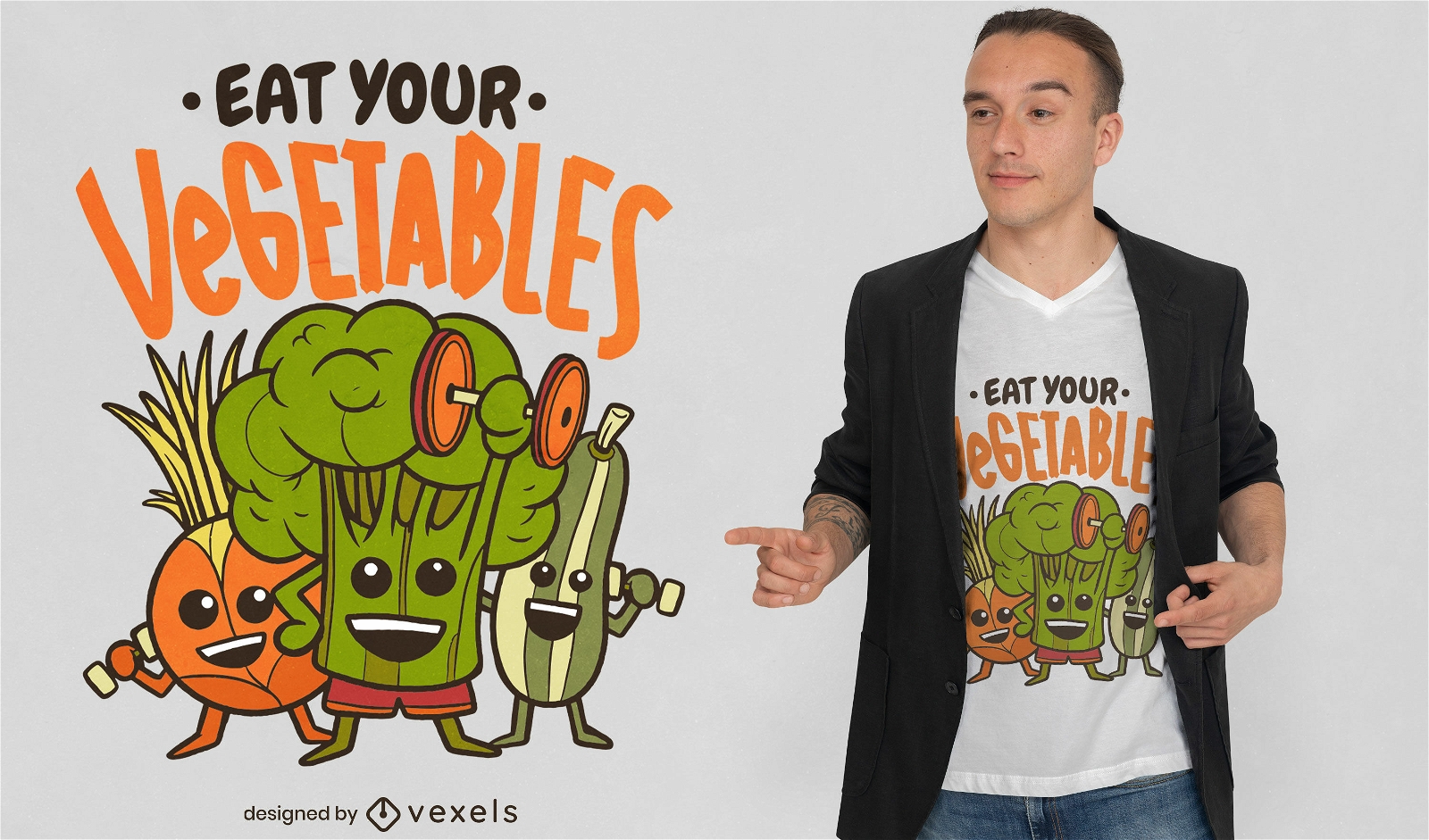
Coma seu design de camiseta vegana de vegetais
Escolha uma pasta
Todos os favoritos
Criar novo
Salvar
Coma seu design de camiseta vegana de vegetais
Pronto para imprimir
para Merch
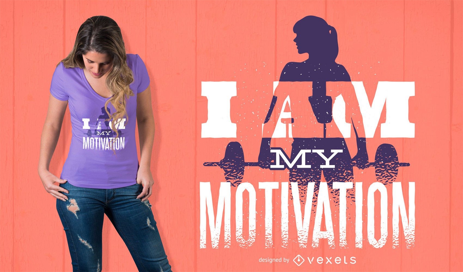
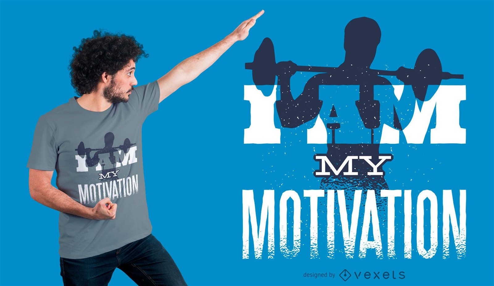
Eu Sou Minha Motivação Design de camisetas
Escolha uma pasta
Todos os favoritos
Criar novo
Salvar
Eu Sou Minha Motivação Design de camisetas
Pronto para imprimir
para Merch
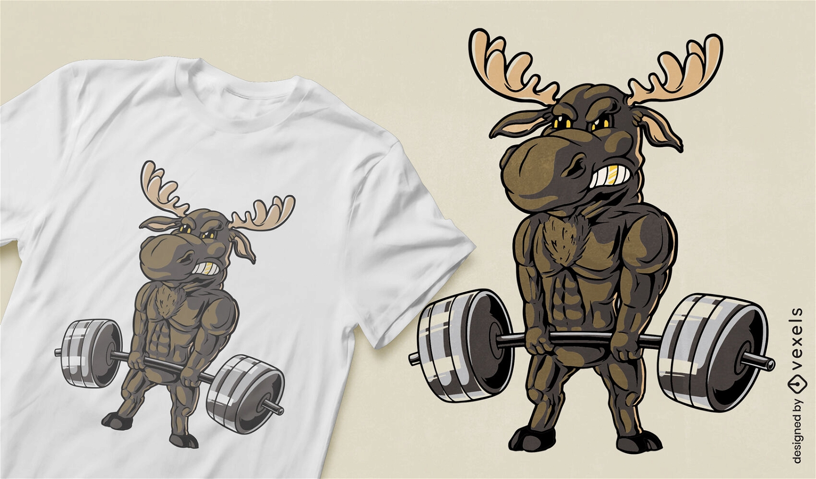
Design de camiseta de alce musculoso
Escolha uma pasta
Todos os favoritos
Criar novo
Salvar
Design de camiseta de alce musculoso
Pronto para imprimir
para Merch
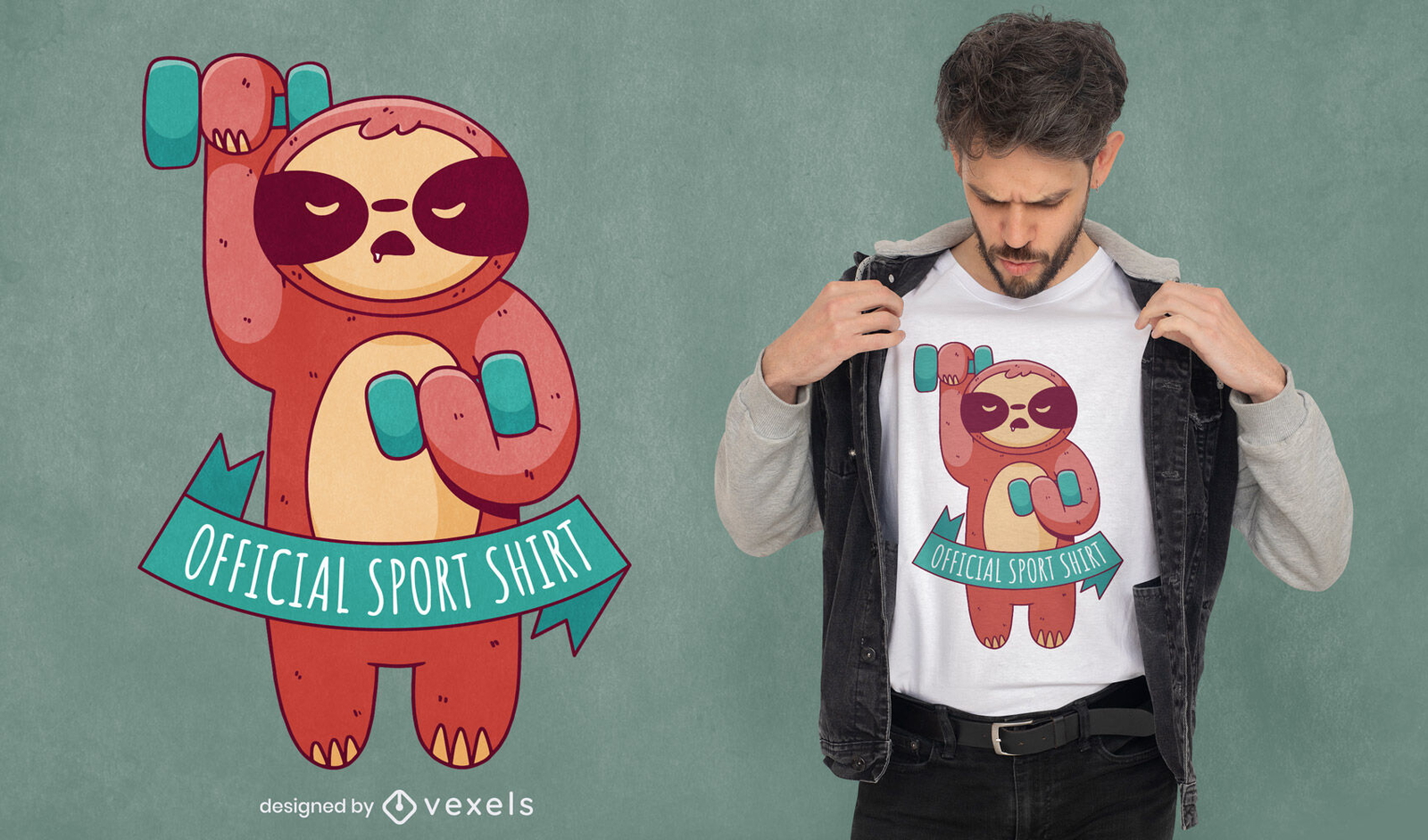
Preguiça de fitness com design de camiseta de halteres
Escolha uma pasta
Todos os favoritos
Criar novo
Salvar
Preguiça de fitness com design de camiseta de halteres
Pronto para imprimir
para Merch
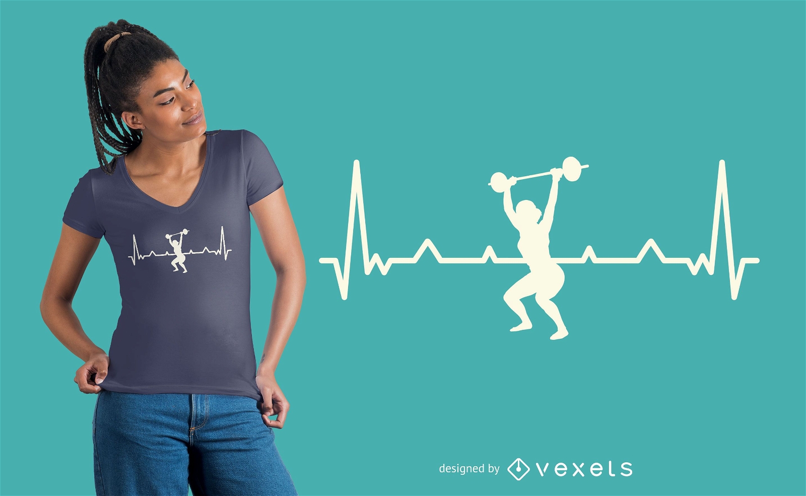
Design de camiseta de treino Heartbeat
Escolha uma pasta
Todos os favoritos
Criar novo
Salvar
Design de camiseta de treino Heartbeat
Pronto para imprimir
para Merch
Design de t-shirt de dedo médio de cão de desenho animado engraçado
Escolha uma pasta
Todos os favoritos
Criar novo
Salvar
Design de t-shirt de dedo médio de cão de desenho animado engraçado
Pai criança em ascensão
Escolha uma pasta
Todos os favoritos
Criar novo
Salvar
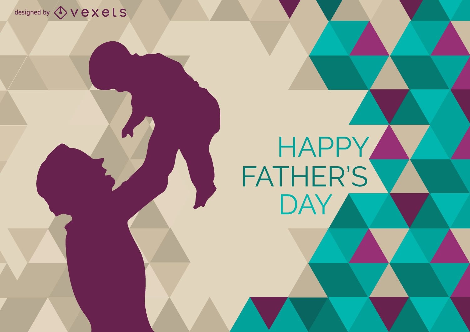
Pai criança em ascensão
Pronto para imprimir
para Merch
Design de camisetas Gympanzee Cartoon
Escolha uma pasta
Todos os favoritos
Criar novo
Salvar
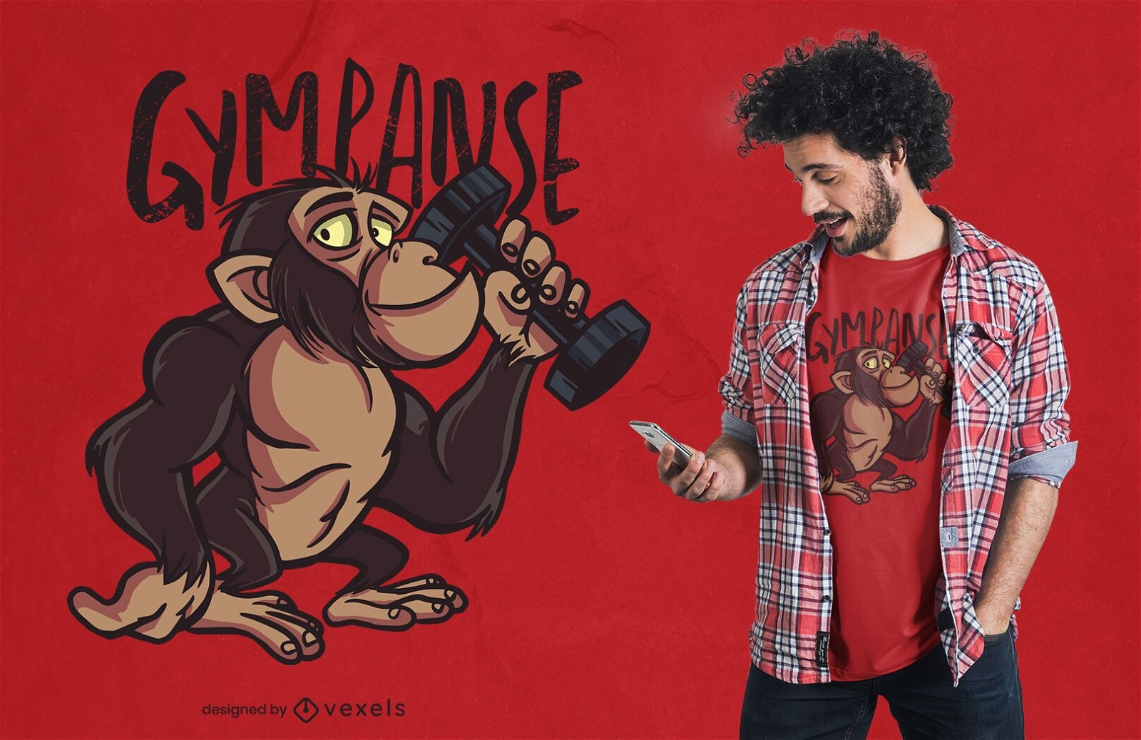
Design de camisetas Gympanzee Cartoon
Pronto para imprimir
para Merch
Design de camiseta com halteres Minotauro
Escolha uma pasta
Todos os favoritos
Criar novo
Salvar
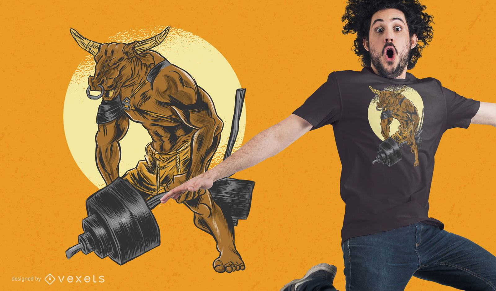
Design de camiseta com halteres Minotauro
Pronto para imprimir
para Merch
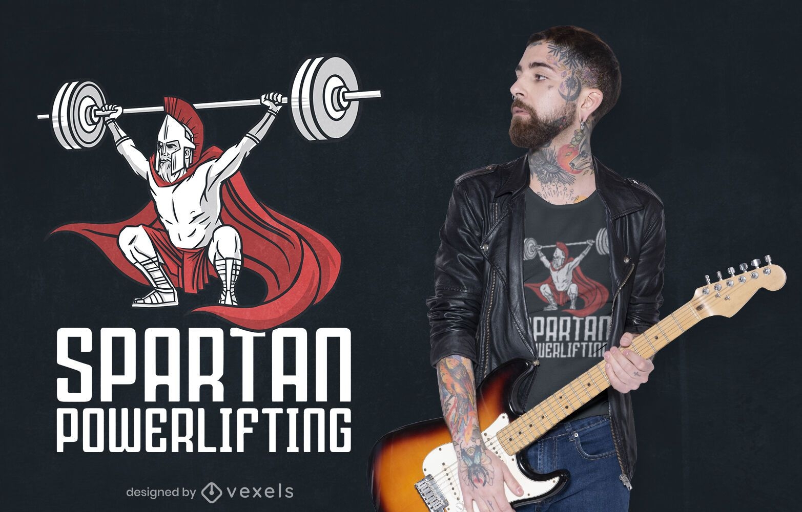
Design de camiseta espartana para levantamento de peso
Escolha uma pasta
Todos os favoritos
Criar novo
Salvar
Design de camiseta espartana para levantamento de peso
Pronto para imprimir
para Merch
Design de camisetas motivacionais de fitness
Escolha uma pasta
Todos os favoritos
Criar novo
Salvar
Design de camisetas motivacionais de fitness
Pronto para imprimir
para Merch
Design de camiseta em forma
Escolha uma pasta
Todos os favoritos
Criar novo
Salvar
Design de camiseta em forma
Pronto para imprimir
para Merch
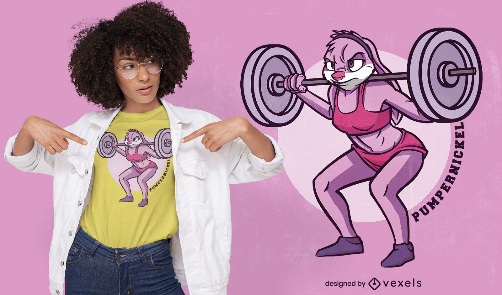
Desenho de camiseta de coelho de halterofilismo
Escolha uma pasta
Todos os favoritos
Criar novo
Salvar
Desenho de camiseta de coelho de halterofilismo
Pronto para imprimir
para Merch
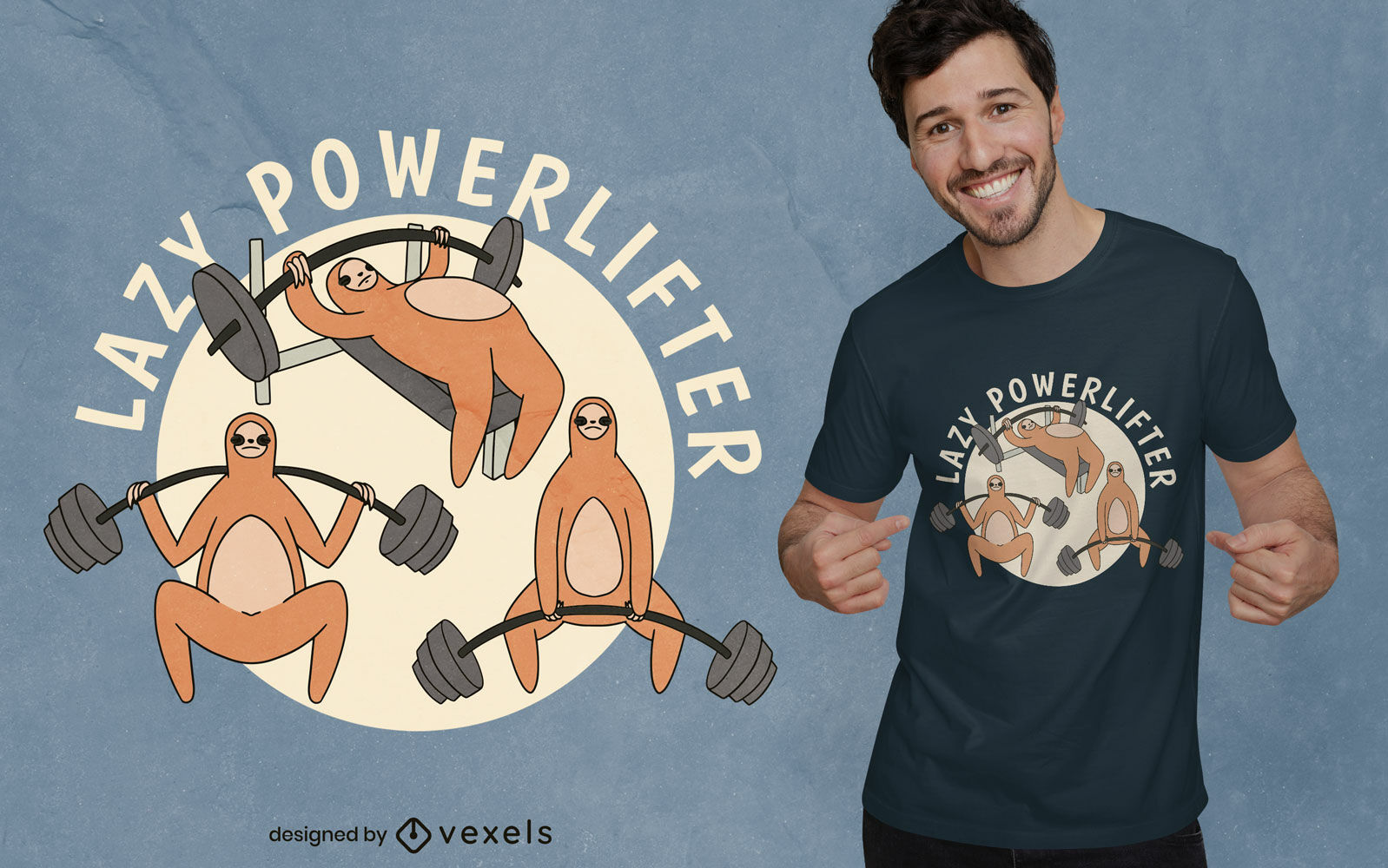
Design de camiseta cartoon powerlifter preguiça
Escolha uma pasta
Todos os favoritos
Criar novo
Salvar
Design de camiseta cartoon powerlifter preguiça
Pronto para imprimir
para Merch
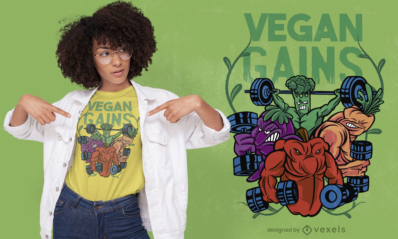
Design de camisetas veganas para fisiculturistas vegetais
Escolha uma pasta
Todos os favoritos
Criar novo
Salvar
Design de camisetas veganas para fisiculturistas vegetais
Impulsione seu negócio
Com a plataforma gráfica líder de mercado.
Ver planos
Próxima
do 7
prev page
next page