Biblioteca de design
Novos designs Merch
Camisetas
Vectores
Designs de Merch de Tendência
PNGs & SVGs
Mockups
Modelos de T-Shirt PSD
Explorar Desenhos
Designs KDP
Pôsteres
Canecas
Capas para celular
Sacos de compras
Almofadas
Ferramentas de desenho
Merch Designer
Novo!
Mockup Generator
Gerador de Design de AI
Vetorizador
Quote Generator
T-Shirt Maker (Antigo)
Ajuda
Merch Digest
Blog
Centro de Ajuda
Saiba mais sobre o Merch
Feedback
Soluções Corporativas
Empresa
Acesso à API
Estúdio de Design
Design em Lote
Preços
Carregando...
Inscrever-se
Conecte-se
All
levantando
Biblioteca de design
Novos designs Merch
Camisetas
Vectores
Designs de Merch de Tendência
PNGs & SVGs
Mockups
Modelos de T-Shirt PSD
Explorar Desenhos
Designs KDP
Pôsteres
Canecas
Capas para celular
Sacos de compras
Almofadas
Ferramentas de desenho
Merch Designer
Novo!
Mockup Generator
Gerador de Design de AI
Vetorizador
Quote Generator
T-Shirt Maker (Antigo)
Ajuda
Merch Digest
Blog
Centro de Ajuda
Saiba mais sobre o Merch
Feedback
Soluções Corporativas
Empresa
Acesso à API
Estúdio de Design
Design em Lote
PLANOS
All
levantando
312 Gráficos e Designs de levantando para Camisetas e Merch print on demand
Baixar designs de camisetas e para merch, como capas de livro, capas de celular, tote bags e mais de levantando
Relacionado:
levantando as mãos
,
levantando pesos
,
levantando jogadores
Ordenar por
Mais relevante
Resultados patrocinados da
Ganhe 15% de desconto com o código: VEXELS15
veja mais detalhes
texto editável
Pronto para imprimir
para Merch
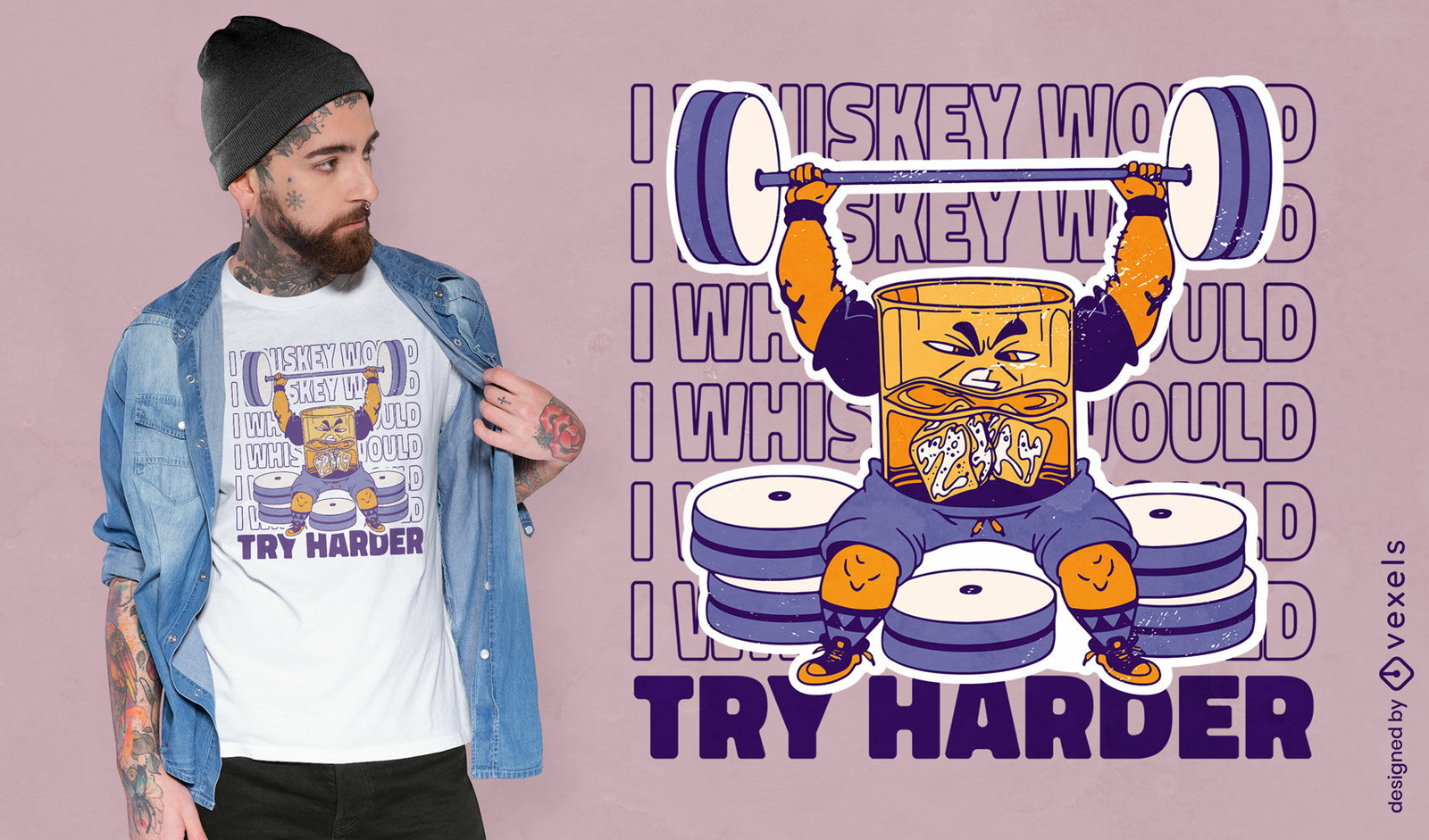
Design de camiseta de levantamento de pesos de uísque
Escolha uma pasta
Todos os favoritos
Criar novo
Salvar
Design de camiseta de levantamento de pesos de uísque
texto editável
Pronto para imprimir
Premium
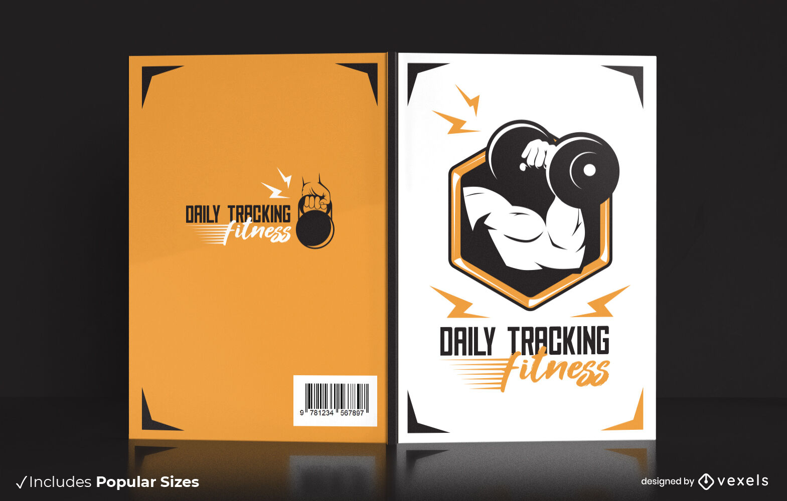
Design de capa de livro de peso de levantamento de braço forte
Escolha uma pasta
Todos os favoritos
Criar novo
Salvar
Design de capa de livro de peso de levantamento de braço forte
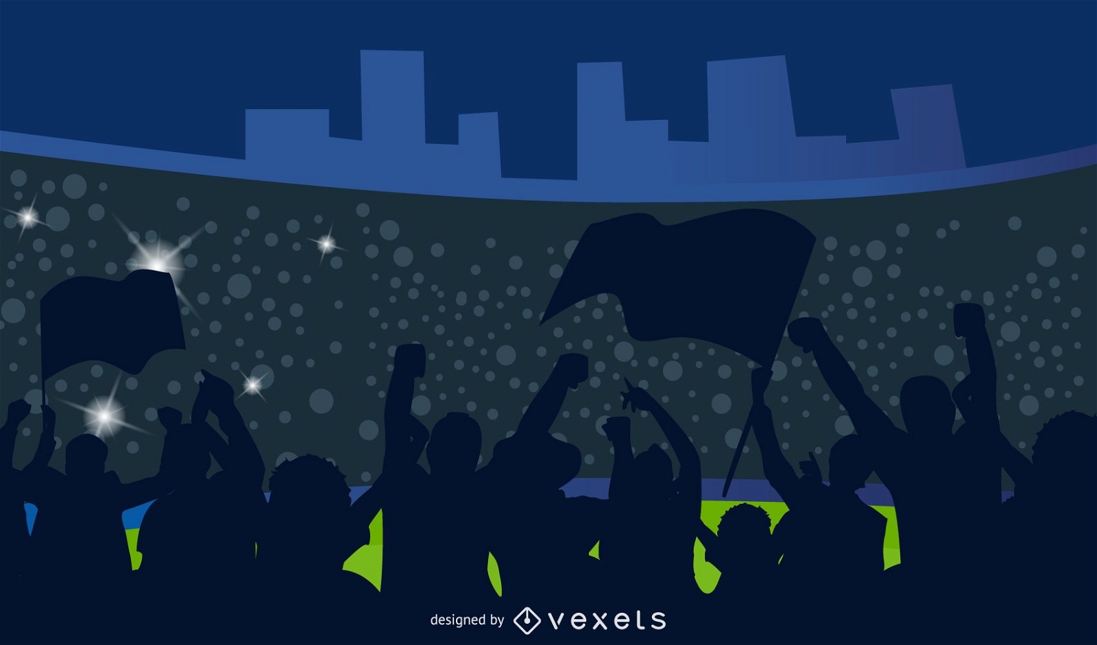
Silhueta torcedores de futebol
Escolha uma pasta
Todos os favoritos
Criar novo
Salvar
Silhueta torcedores de futebol
Pronto para imprimir
para Merch
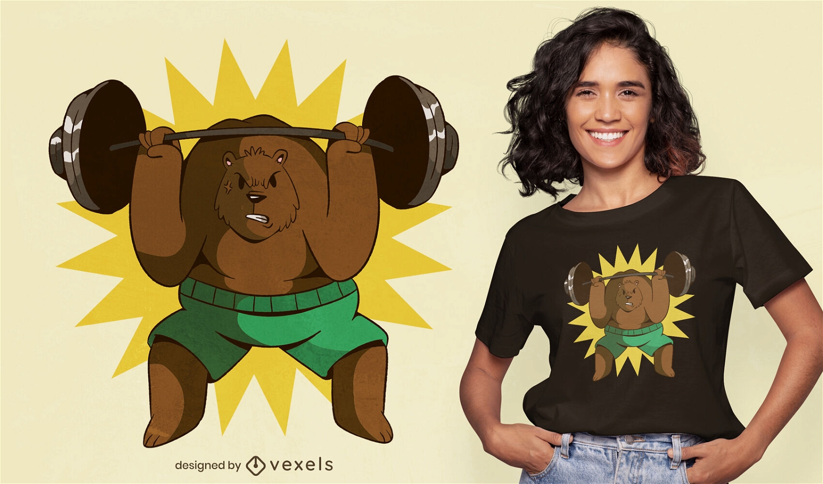
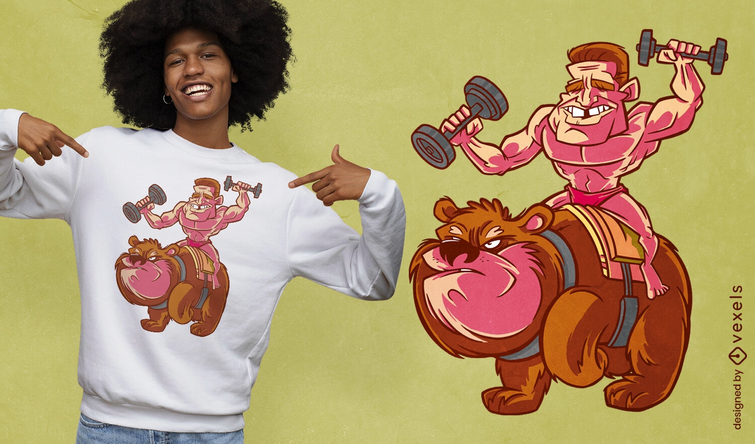
Design de camiseta esportiva de levantamento de peso de urso
Escolha uma pasta
Todos os favoritos
Criar novo
Salvar
Design de camiseta esportiva de levantamento de peso de urso
Pronto para imprimir
para Merch
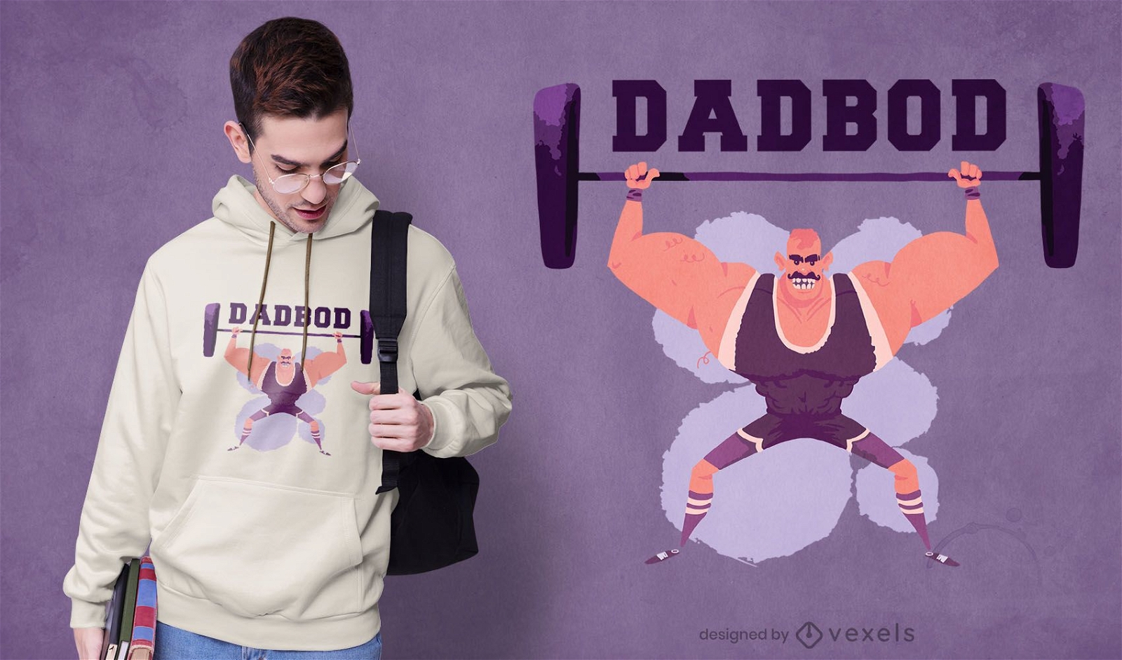
Design de camiseta pai halterofilista
Escolha uma pasta
Todos os favoritos
Criar novo
Salvar
Design de camiseta pai halterofilista
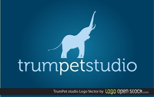
TrumPet Studio
Escolha uma pasta
Todos os favoritos
Criar novo
Salvar
TrumPet Studio
Pronto para imprimir
para Merch
Design de camiseta de levantamento de pesos de zumbi
Escolha uma pasta
Todos os favoritos
Criar novo
Salvar
Design de camiseta de levantamento de pesos de zumbi
Pronto para imprimir
para Merch
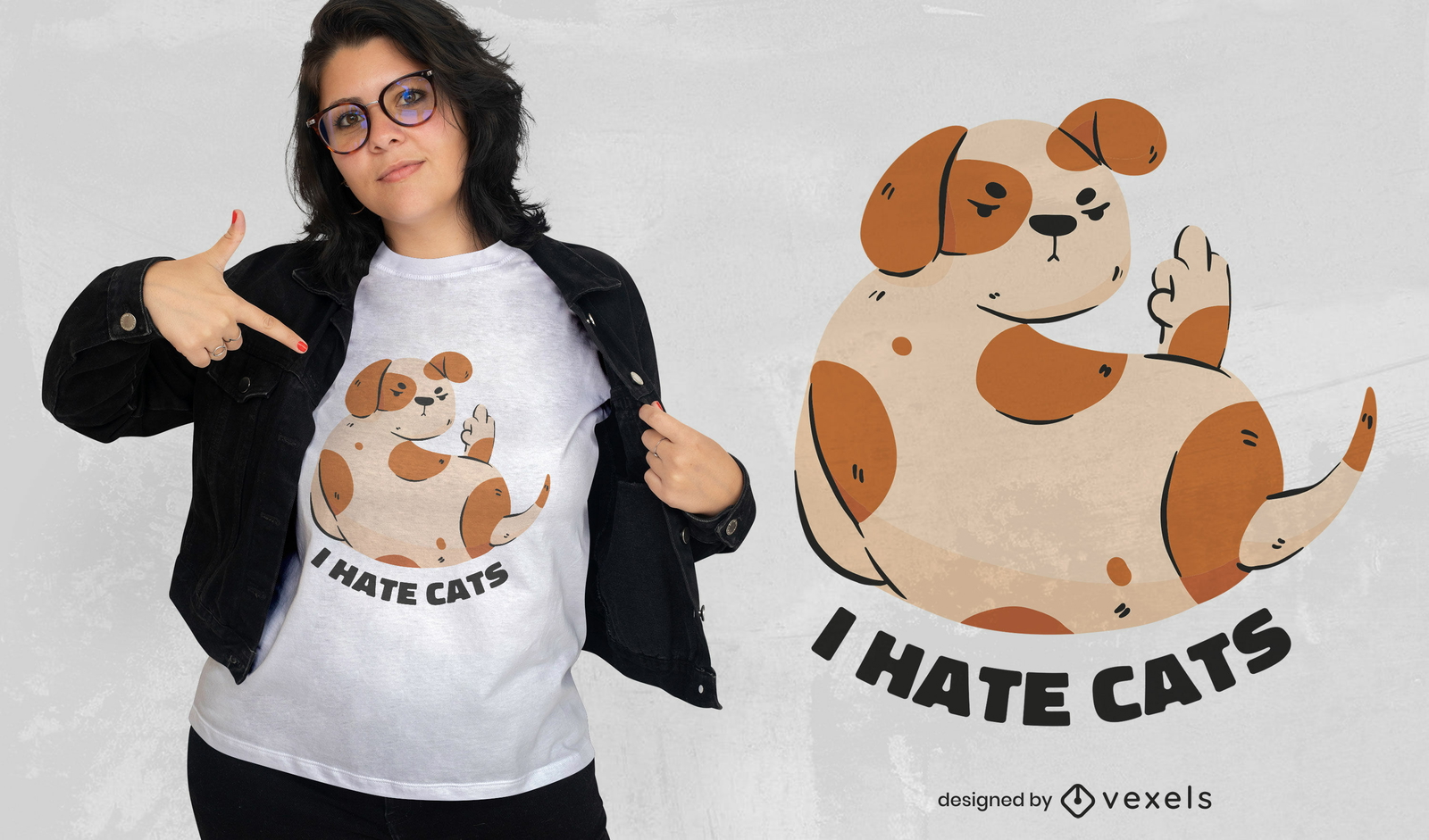
Design engraçado de t-shirt de gatos de ódio de cães manchados
Escolha uma pasta
Todos os favoritos
Criar novo
Salvar
Design engraçado de t-shirt de gatos de ódio de cães manchados
Pronto para imprimir
para Merch
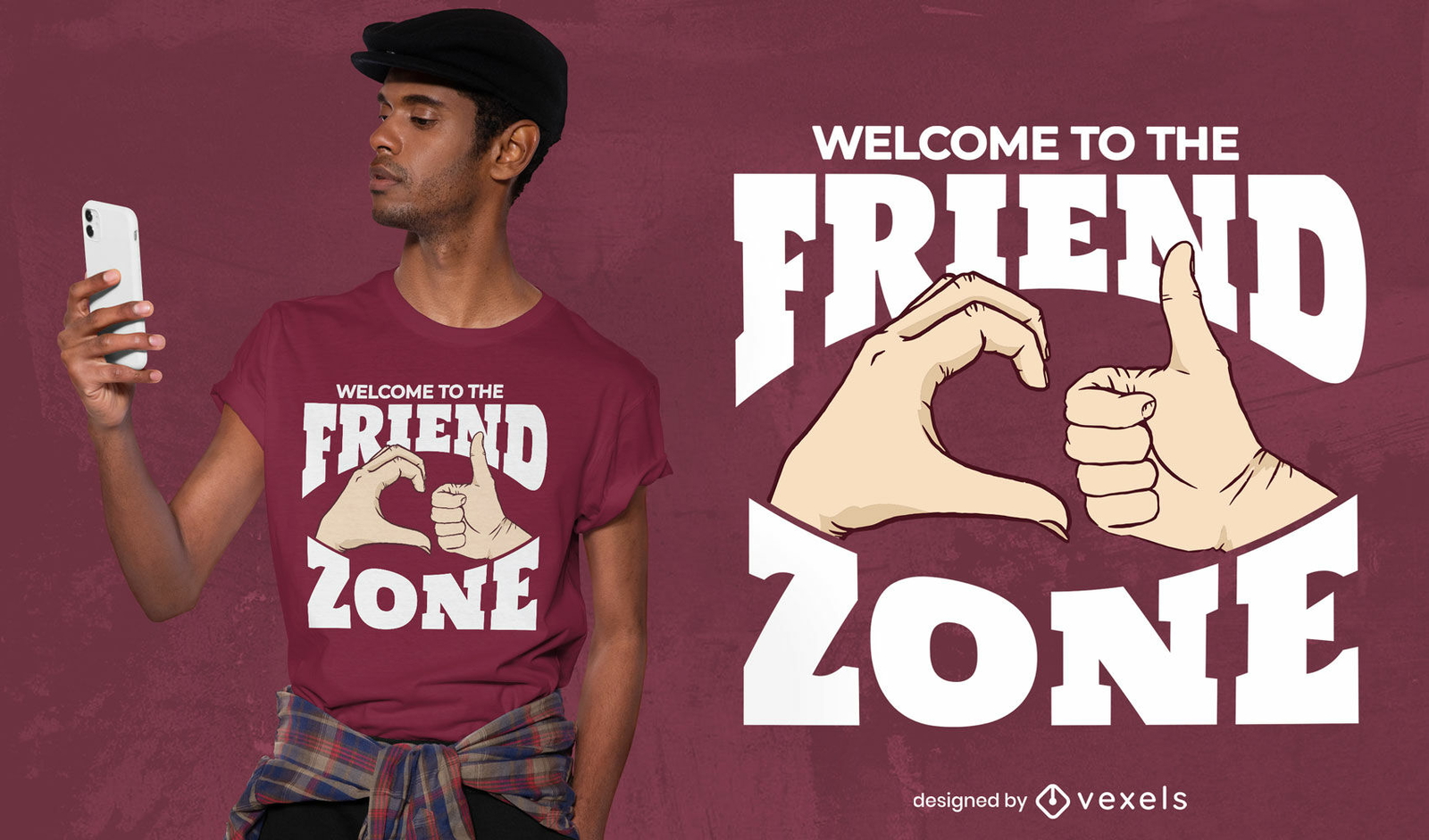
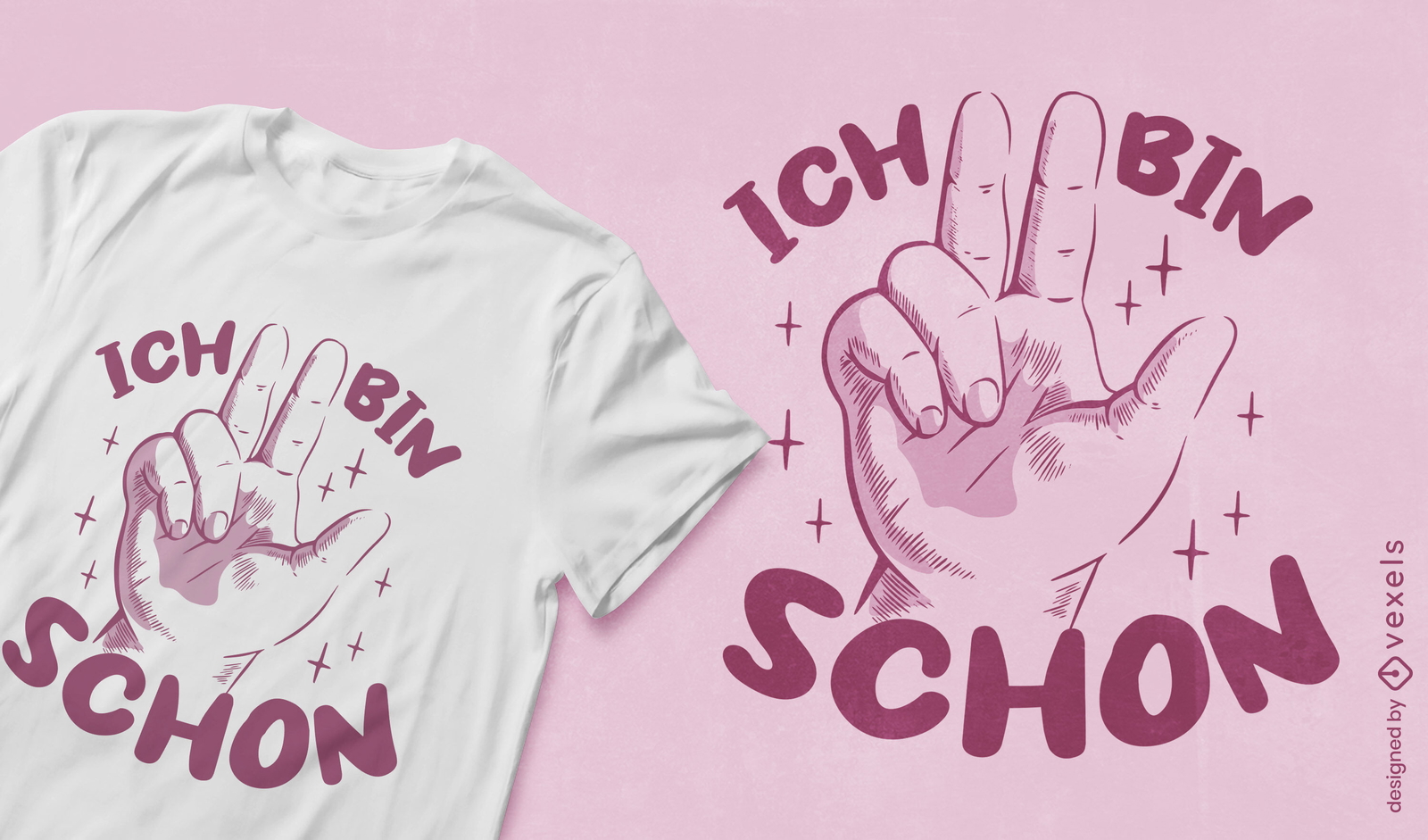
Gestos com as mãos design de t-shirt de mensagem de friendzone
Escolha uma pasta
Todos os favoritos
Criar novo
Salvar
Gestos com as mãos design de t-shirt de mensagem de friendzone
Pronto para imprimir
para Merch
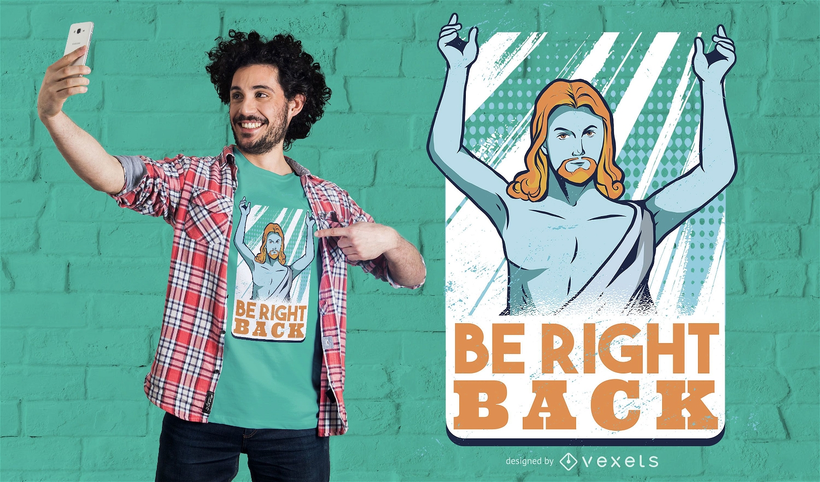
Volto já com o design da camiseta
Escolha uma pasta
Todos os favoritos
Criar novo
Salvar
Volto já com o design da camiseta
Premium
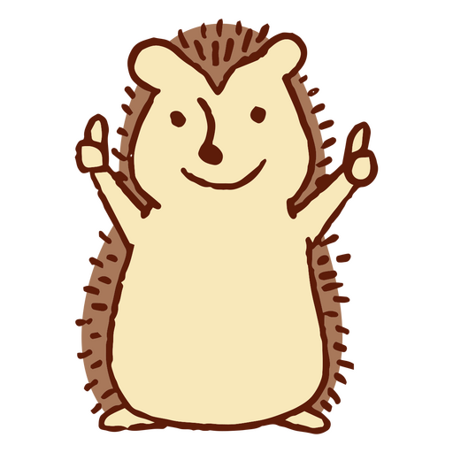
Ouriço de desenho animado dando um sinal de positivo Desenho PNG
Escolha uma pasta
Todos os favoritos
Criar novo
Salvar
Ouriço de desenho animado dando um sinal de positivo Desenho PNG
texto editável
Pronto para imprimir
para Merch
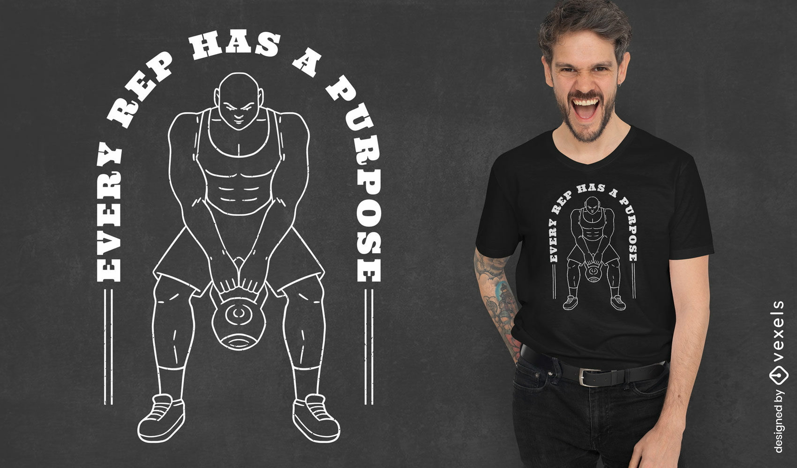
Design de camiseta com citação de representantes de academia
Escolha uma pasta
Todos os favoritos
Criar novo
Salvar
Design de camiseta com citação de representantes de academia
Pronto para imprimir
para Merch
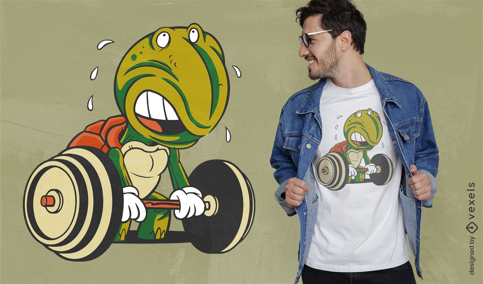
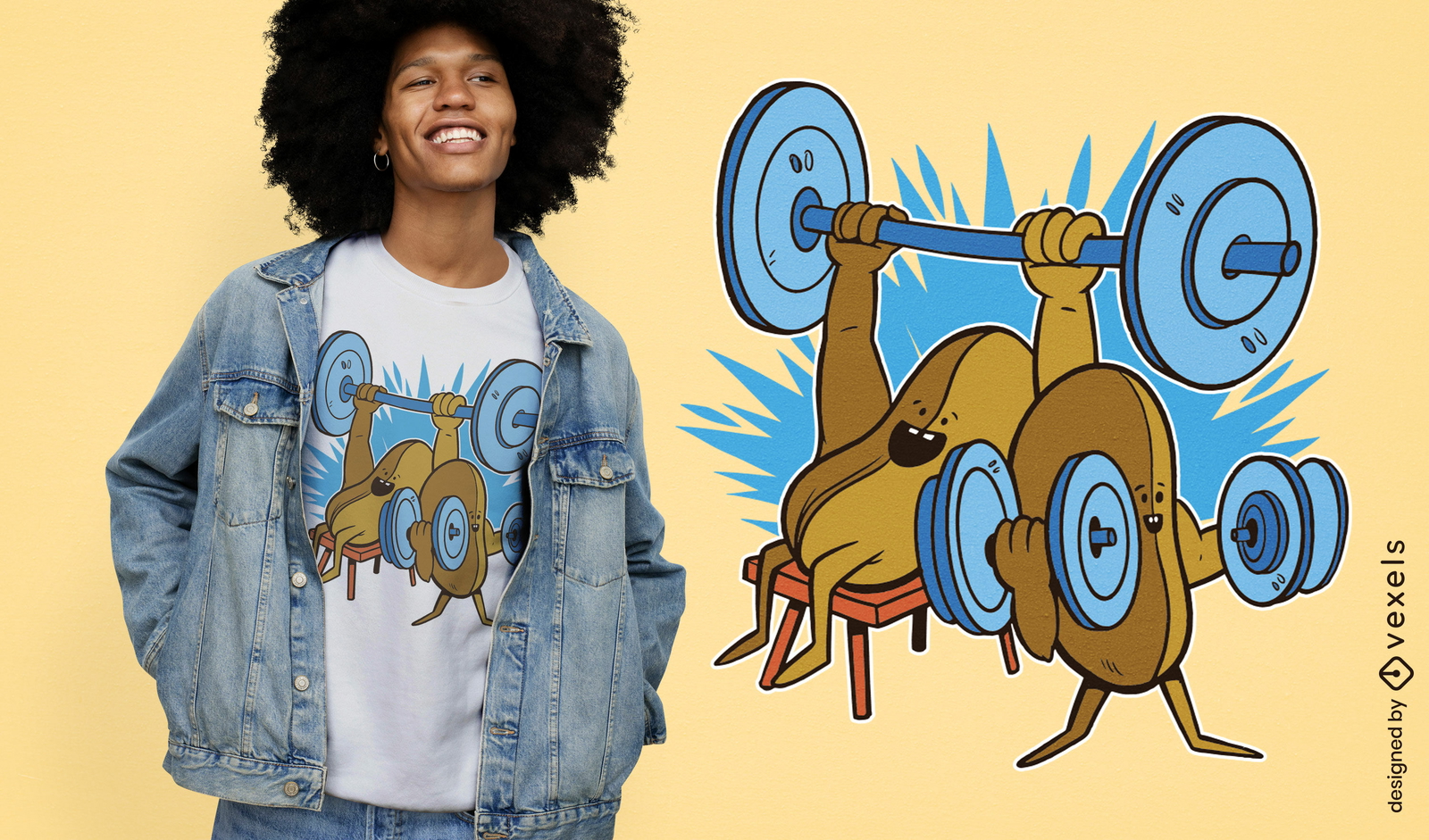
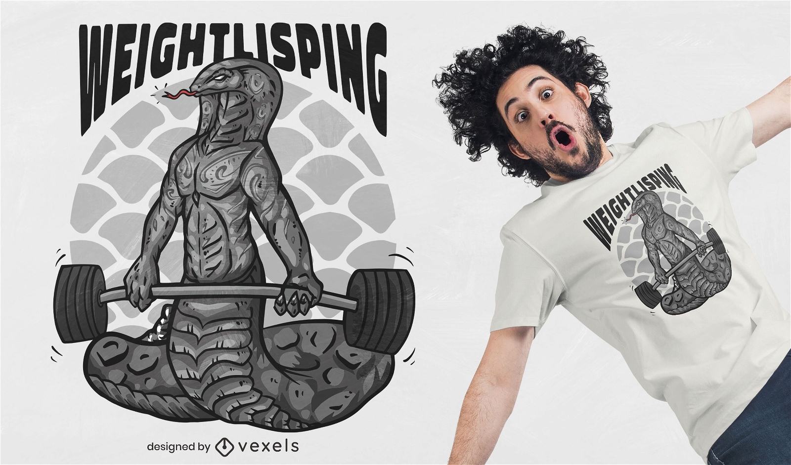
Design de camiseta de levantamento de pesos de tartaruga de desenho animado
Escolha uma pasta
Todos os favoritos
Criar novo
Salvar
Design de camiseta de levantamento de pesos de tartaruga de desenho animado
Pronto para imprimir
para Merch
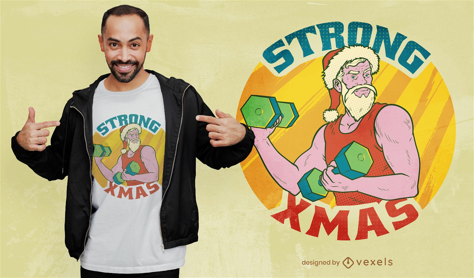
Design legal e forte de camisetas de Natal
Escolha uma pasta
Todos os favoritos
Criar novo
Salvar
Design legal e forte de camisetas de Natal
Pronto para imprimir
para Merch
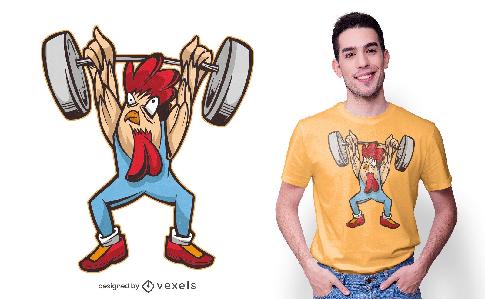
Design de camiseta de frango para halterofilismo
Escolha uma pasta
Todos os favoritos
Criar novo
Salvar
Design de camiseta de frango para halterofilismo
Pronto para imprimir
para Merch
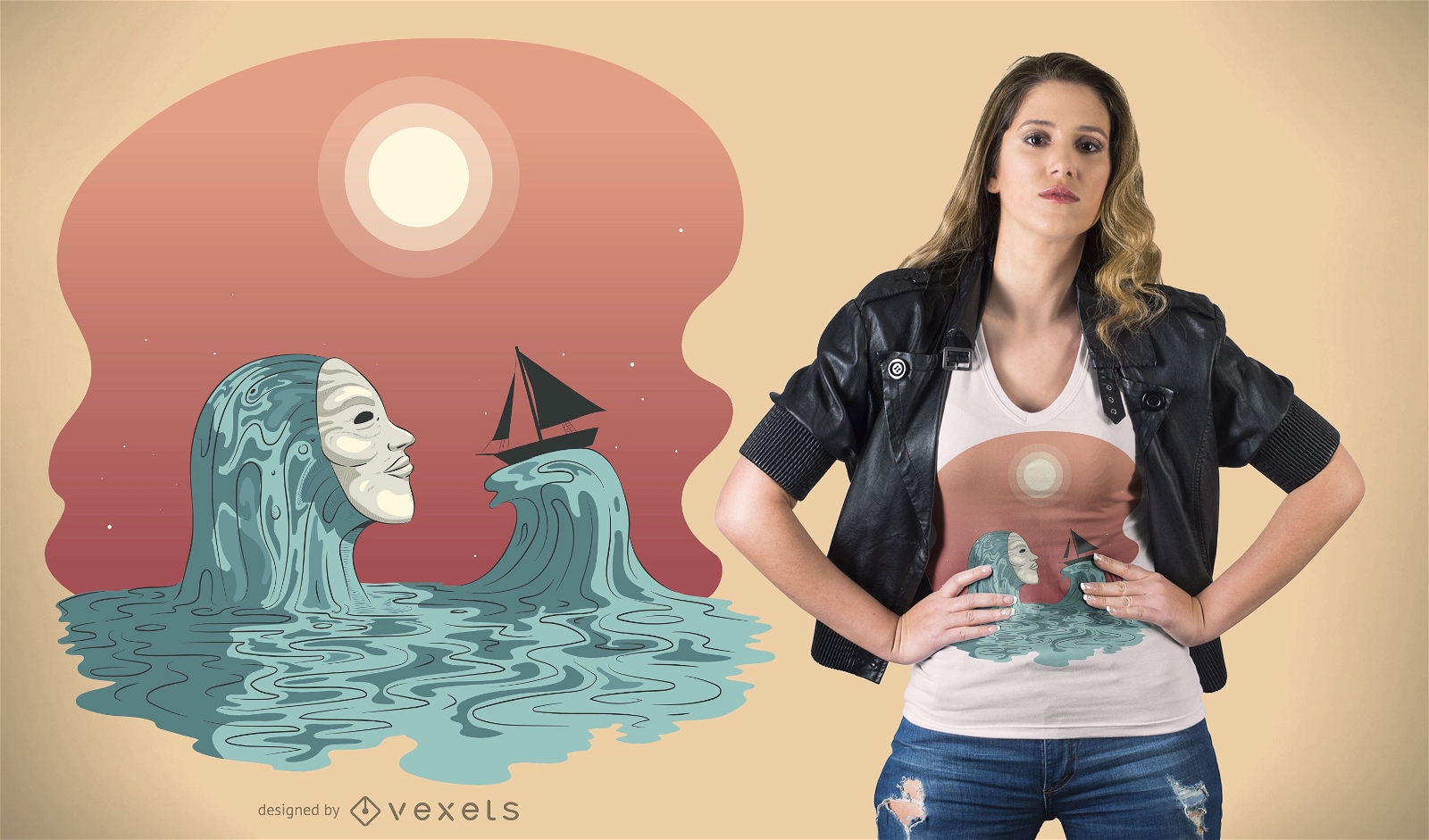
Design de camisetas Sea Ghost
Escolha uma pasta
Todos os favoritos
Criar novo
Salvar
Design de camisetas Sea Ghost
Pronto para imprimir
para Merch
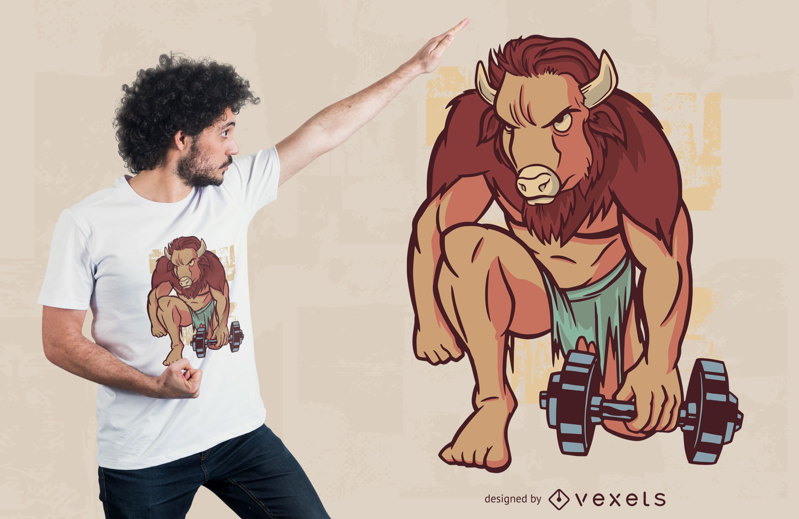
Design de camiseta de treino Buffalo
Escolha uma pasta
Todos os favoritos
Criar novo
Salvar
Design de camiseta de treino Buffalo
texto editável
Pronto para imprimir
para Merch
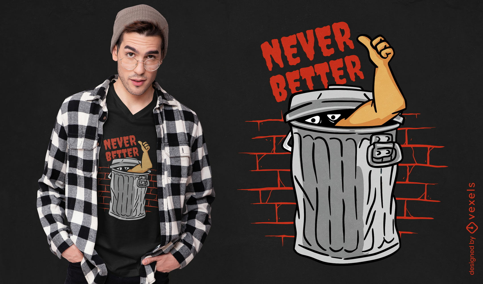
Pessoa dentro do design de camiseta de lata de lixo
Escolha uma pasta
Todos os favoritos
Criar novo
Salvar
Pessoa dentro do design de camiseta de lata de lixo
texto editável
Pronto para imprimir
para Merch
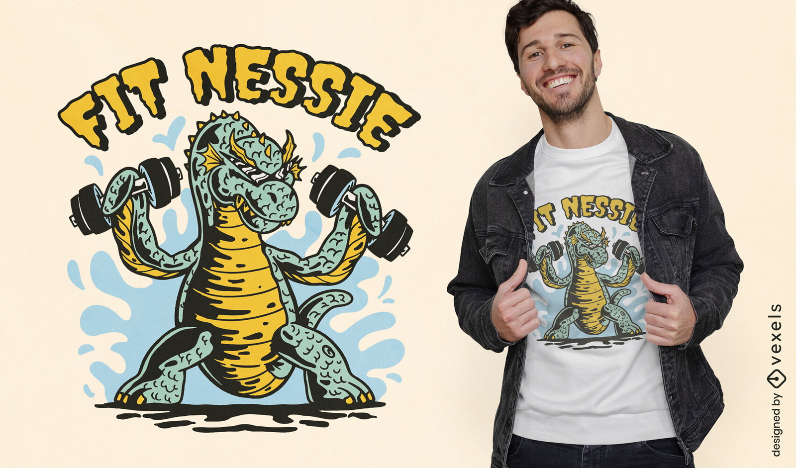
Design de camiseta de exercício de monstro de Loch ness
Escolha uma pasta
Todos os favoritos
Criar novo
Salvar
Design de camiseta de exercício de monstro de Loch ness
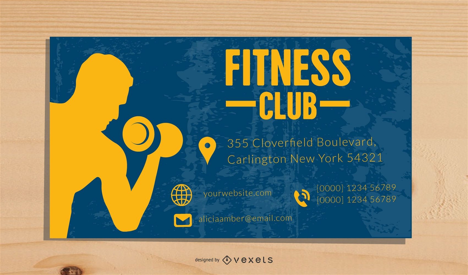
Modelo de cartão de visita de fitness
Escolha uma pasta
Todos os favoritos
Criar novo
Salvar
Modelo de cartão de visita de fitness
Pronto para imprimir
para Merch
Design de camiseta fitness para café
Escolha uma pasta
Todos os favoritos
Criar novo
Salvar
Design de camiseta fitness para café
Pronto para imprimir
para Merch
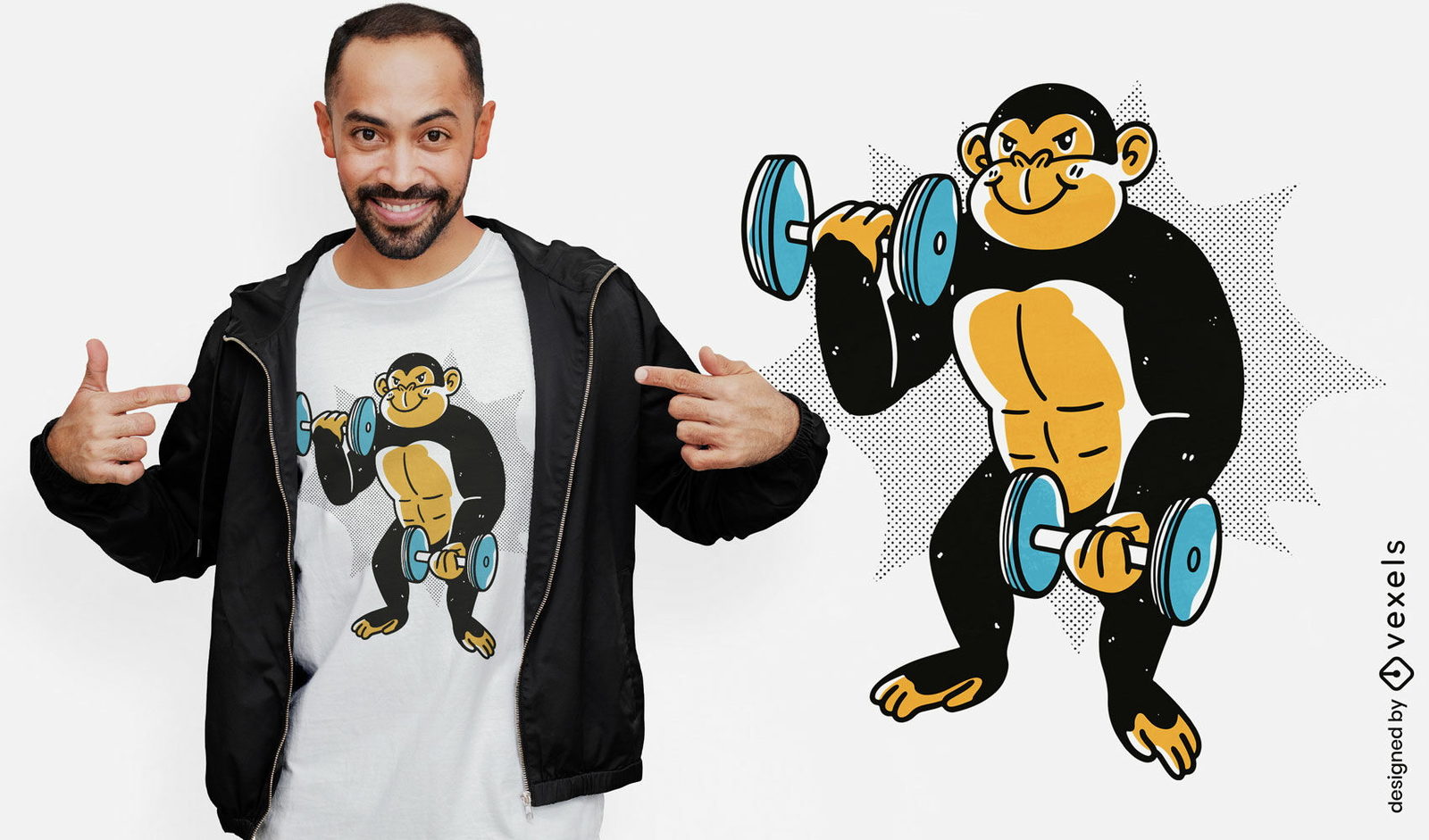
Design de camiseta de chimpanzé de treinamento
Escolha uma pasta
Todos os favoritos
Criar novo
Salvar
Design de camiseta de chimpanzé de treinamento
texto editável
Pronto para imprimir
para Merch
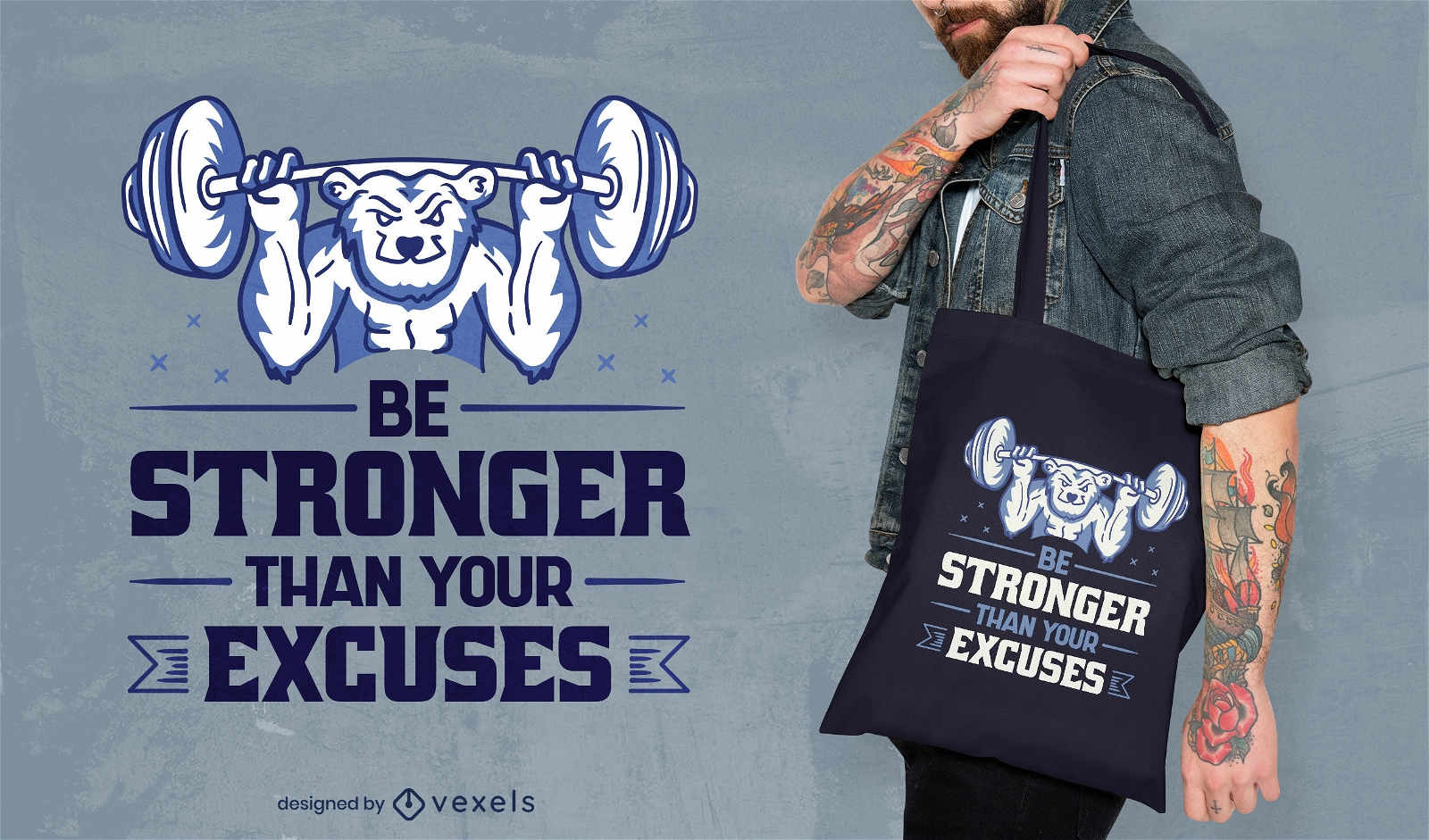
Design de sacola de urso de levantamento de peso
Escolha uma pasta
Todos os favoritos
Criar novo
Salvar
Design de sacola de urso de levantamento de peso
texto editável
Pronto para imprimir
para Merch
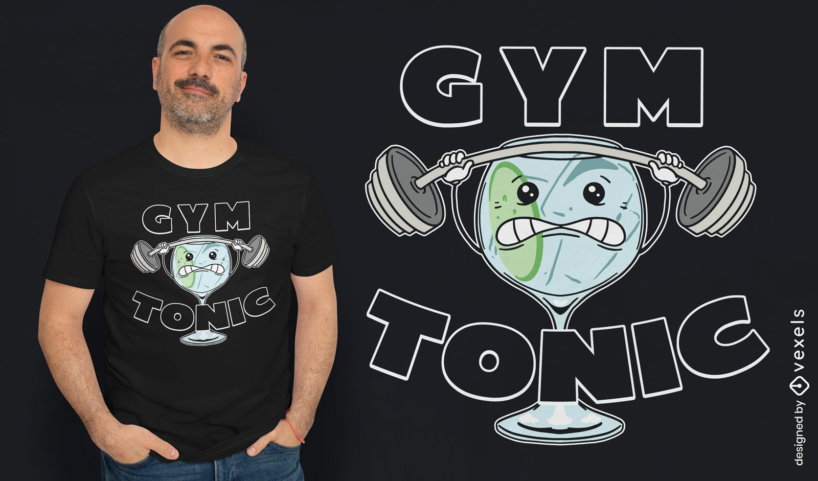
Design de camiseta tônica de ginástica
Escolha uma pasta
Todos os favoritos
Criar novo
Salvar
Design de camiseta tônica de ginástica
texto editável
Pronto para imprimir
para Merch
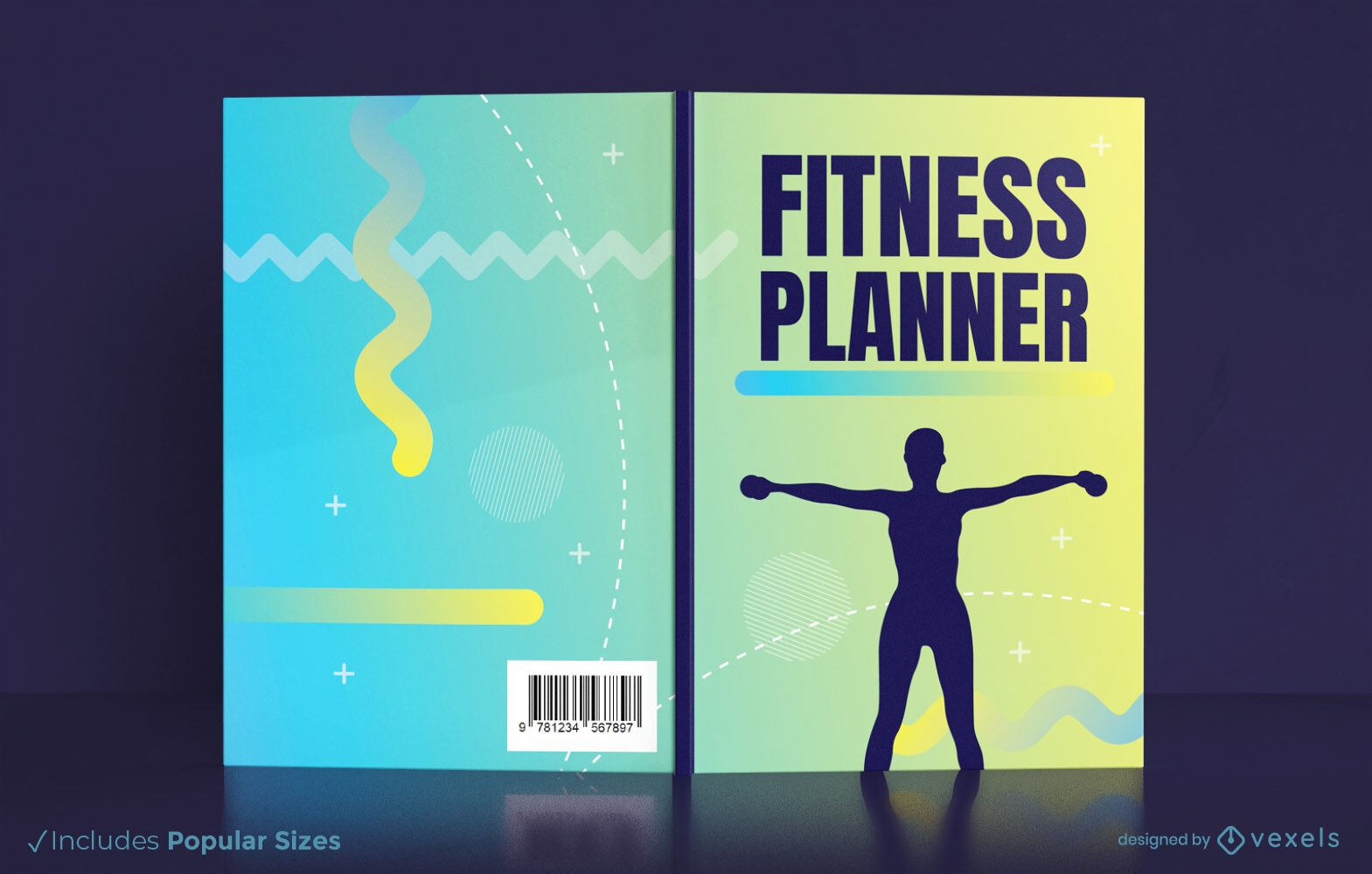
Design de capa de livro de planejador de fitness KDP
Escolha uma pasta
Todos os favoritos
Criar novo
Salvar
Design de capa de livro de planejador de fitness KDP
Pronto para imprimir
para Merch
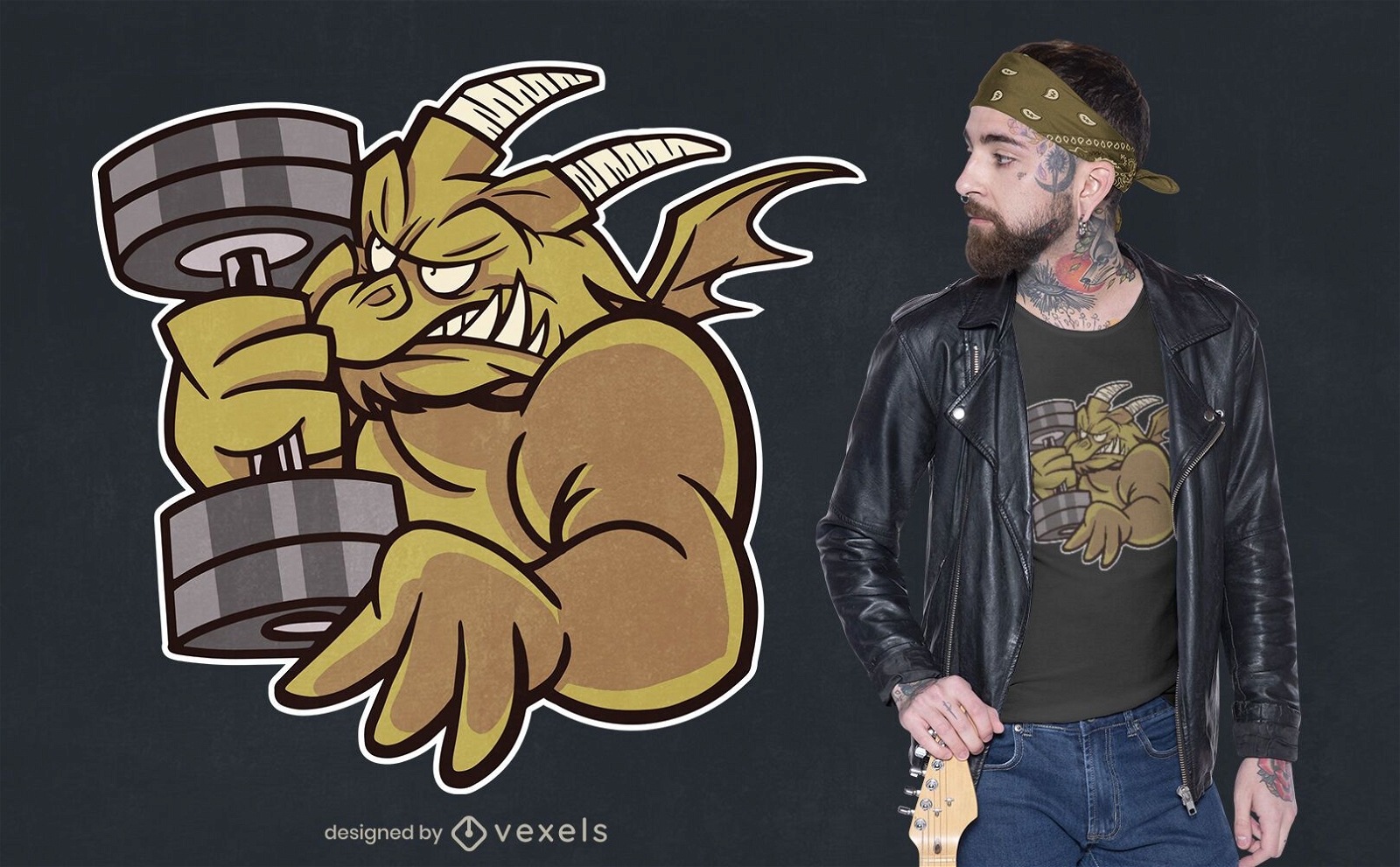
Desenho de camiseta de dragão de halterofilismo
Escolha uma pasta
Todos os favoritos
Criar novo
Salvar
Desenho de camiseta de dragão de halterofilismo
Premium
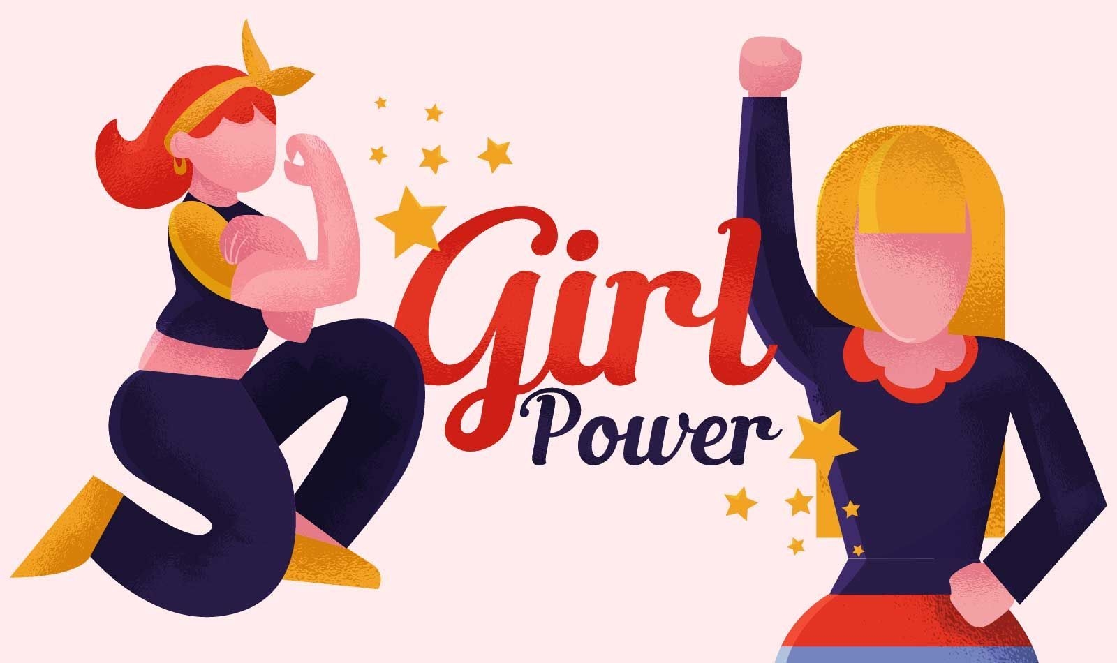
Ilustração feminista do poder feminino
Escolha uma pasta
Todos os favoritos
Criar novo
Salvar
Ilustração feminista do poder feminino
Pronto para imprimir
para Merch
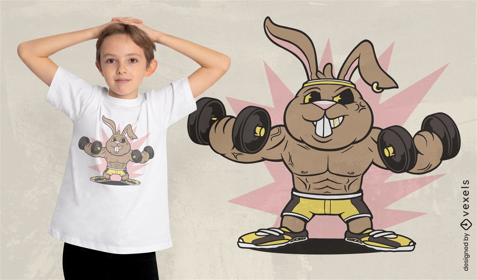
Design de camiseta de levantamento de peso animal de coelho
Escolha uma pasta
Todos os favoritos
Criar novo
Salvar
Design de camiseta de levantamento de peso animal de coelho
Pronto para imprimir
para Merch
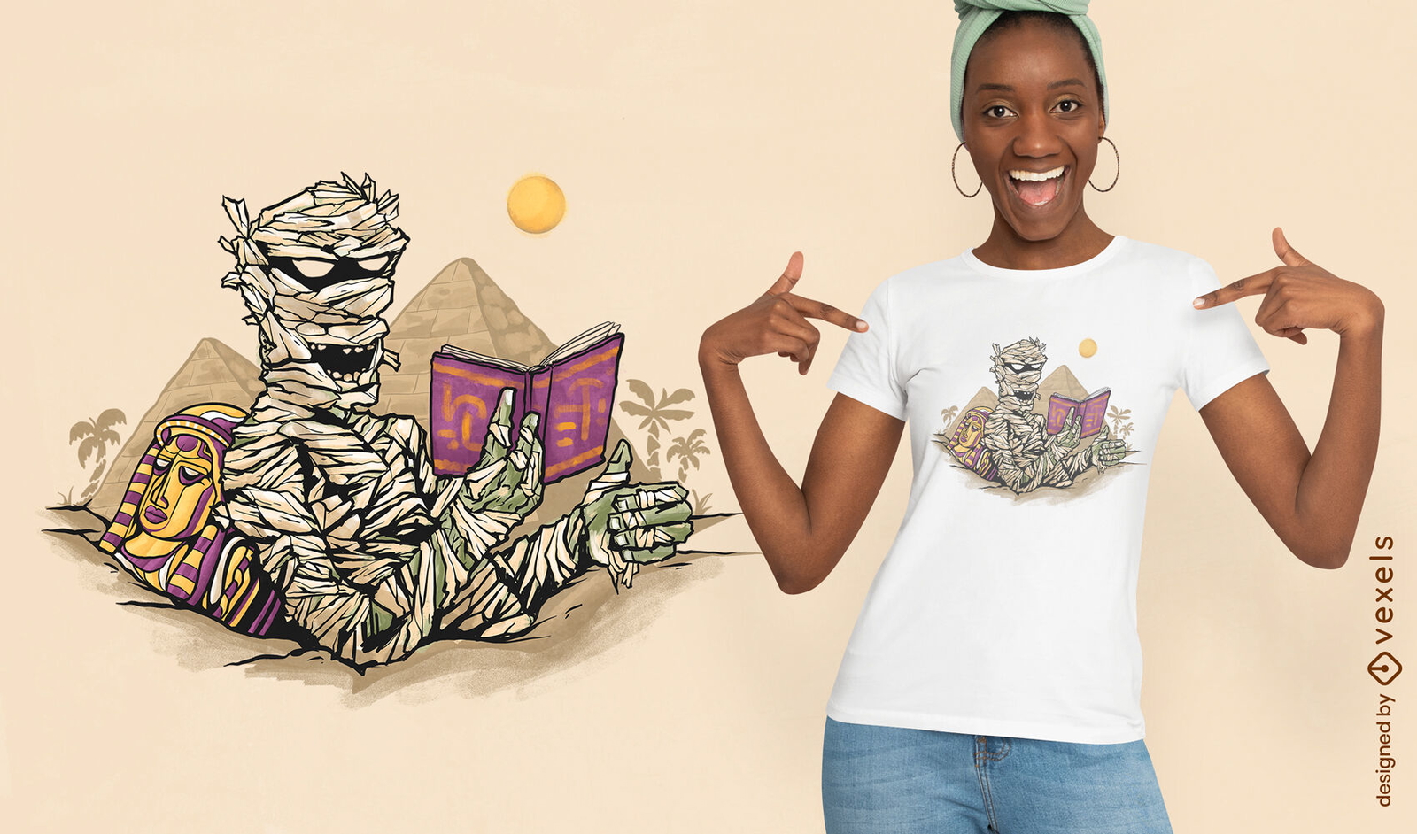
Design de camiseta múmia de leitura
Escolha uma pasta
Todos os favoritos
Criar novo
Salvar
Design de camiseta múmia de leitura
Pronto para imprimir
para Merch
Design de camiseta de personagem de levantamento de fitness engraçado
Escolha uma pasta
Todos os favoritos
Criar novo
Salvar
Design de camiseta de personagem de levantamento de fitness engraçado
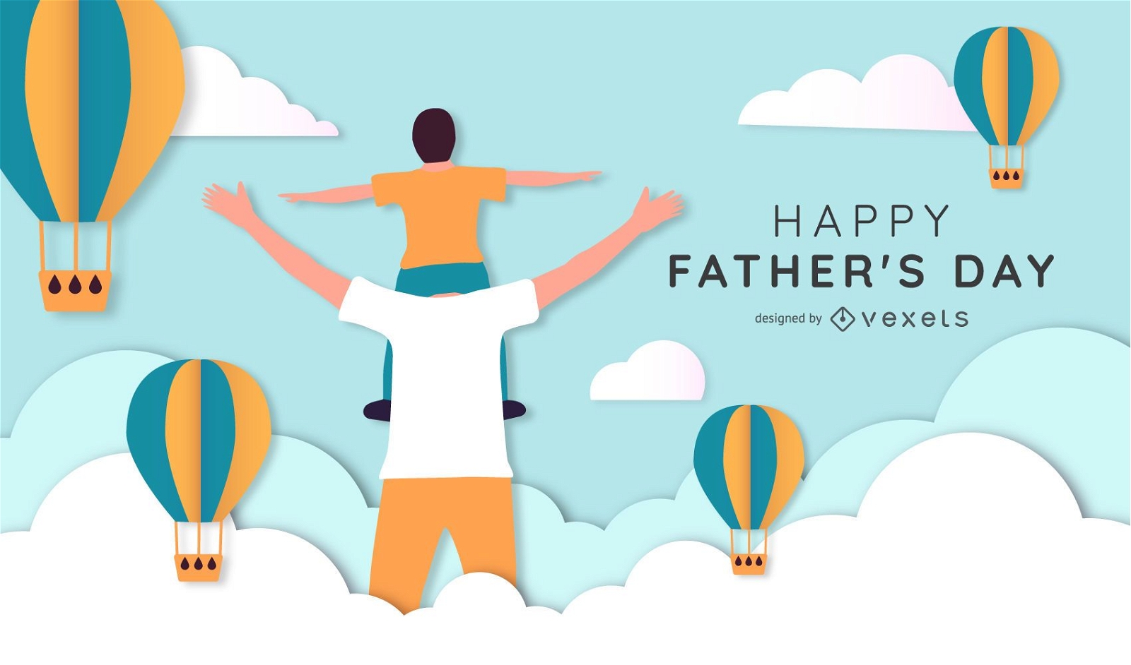
Design de ilustração do dia dos pais
Escolha uma pasta
Todos os favoritos
Criar novo
Salvar
Design de ilustração do dia dos pais
texto editável
Pronto para imprimir
para Merch
Design de camiseta de monstro de dramatização
Escolha uma pasta
Todos os favoritos
Criar novo
Salvar
Design de camiseta de monstro de dramatização
Pronto para imprimir
para Merch
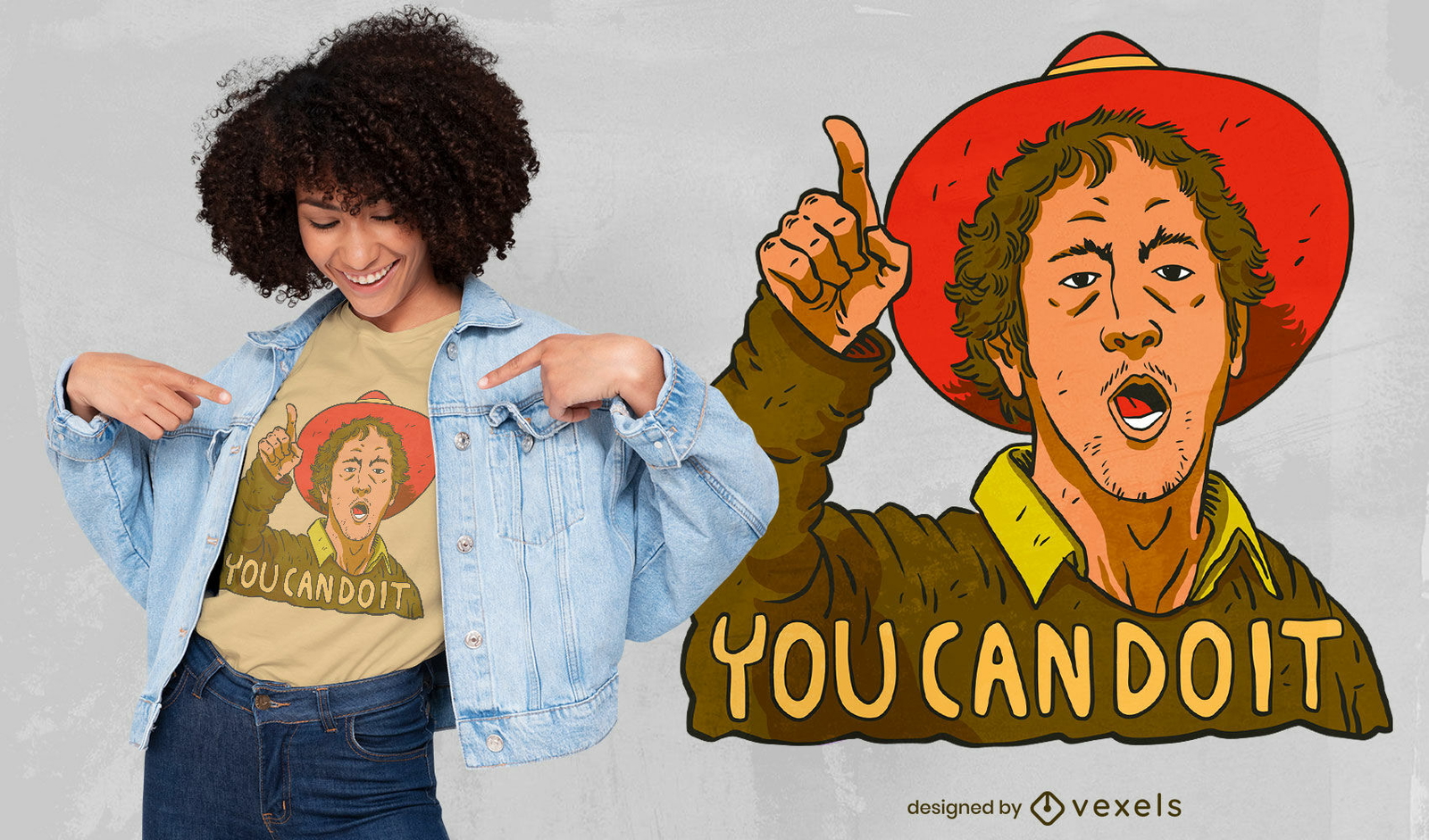
Você consegue, cara, design de camiseta
Escolha uma pasta
Todos os favoritos
Criar novo
Salvar
Você consegue, cara, design de camiseta
Pronto para imprimir
para Merch
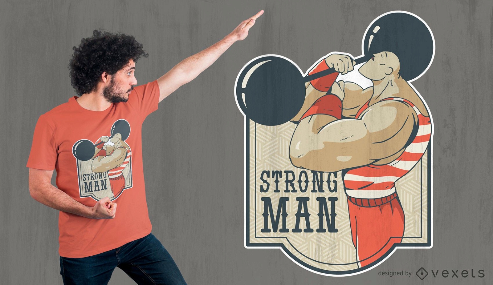
Design de camiseta de homem forte
Escolha uma pasta
Todos os favoritos
Criar novo
Salvar
Design de camiseta de homem forte
Premium
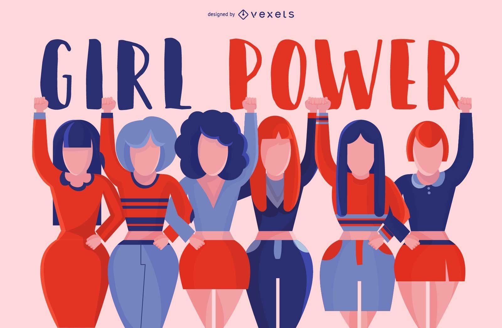
Projeto de grupo feminino
Escolha uma pasta
Todos os favoritos
Criar novo
Salvar
Projeto de grupo feminino
Pronto para imprimir
para Merch
Design de camiseta para halterofilismo
Escolha uma pasta
Todos os favoritos
Criar novo
Salvar
Design de camiseta para halterofilismo
Pronto para imprimir
para Merch
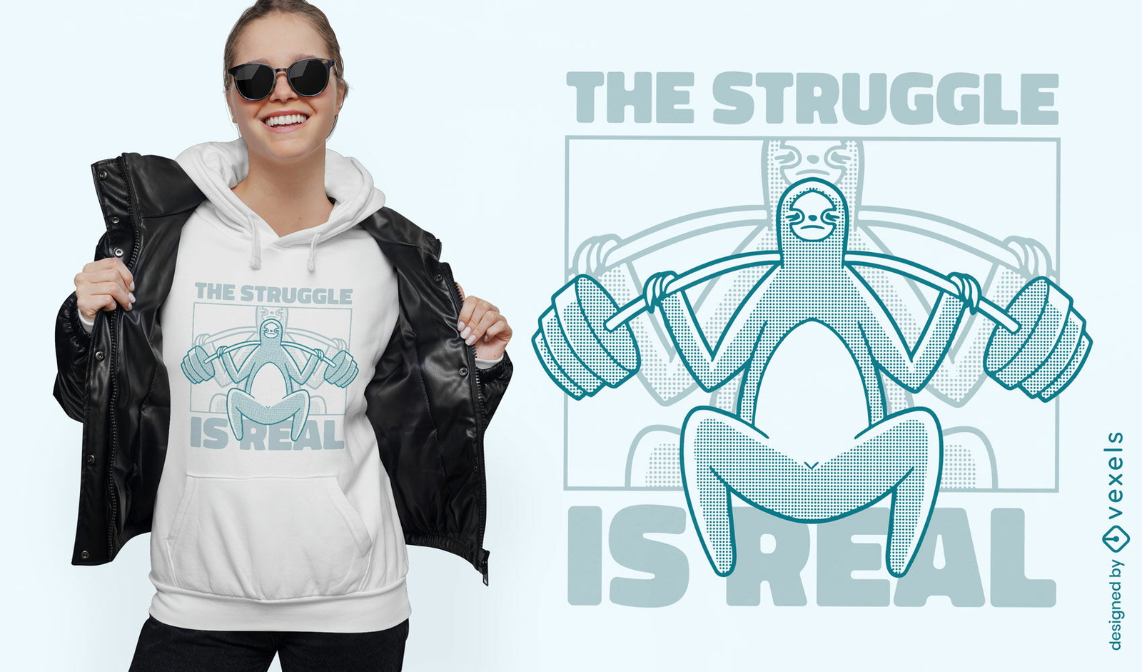
Design de t-shirt de levantamento de pesos de animais preguiça
Escolha uma pasta
Todos os favoritos
Criar novo
Salvar
Design de t-shirt de levantamento de pesos de animais preguiça
Pronto para imprimir
para Merch
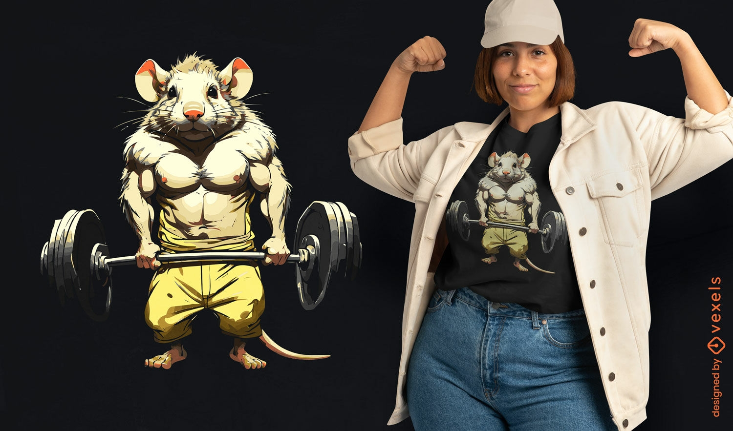
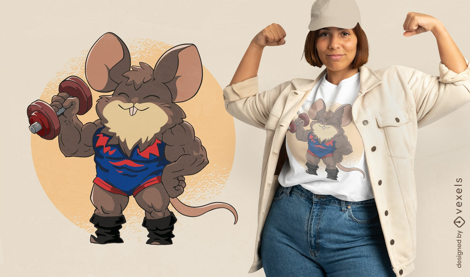
Design de camiseta de rato musculoso
Escolha uma pasta
Todos os favoritos
Criar novo
Salvar
Design de camiseta de rato musculoso
Pronto para imprimir
para Merch
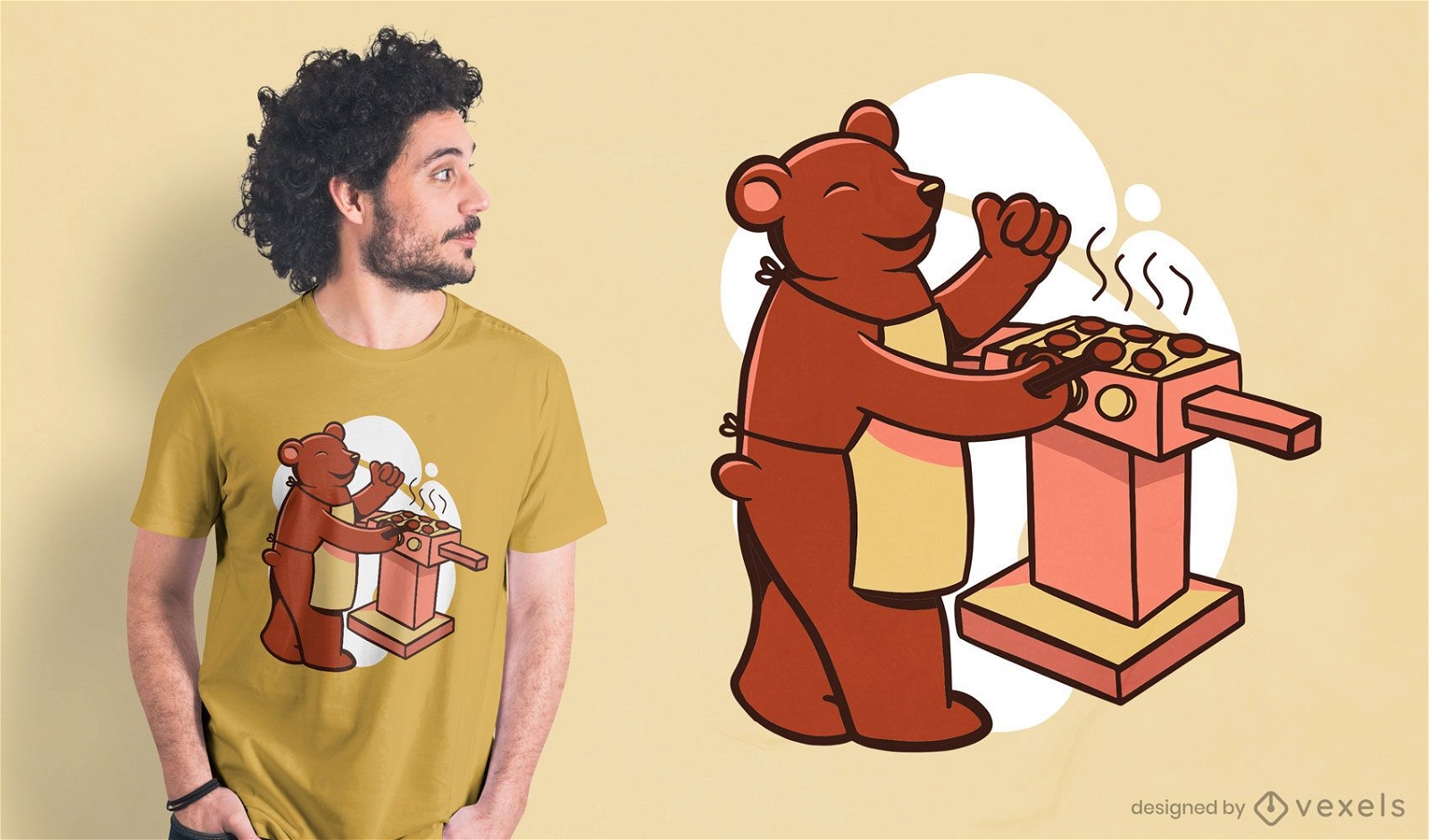
Design de t-shirt Bear Grill
Escolha uma pasta
Todos os favoritos
Criar novo
Salvar
Design de t-shirt Bear Grill
Pronto para imprimir
para Merch
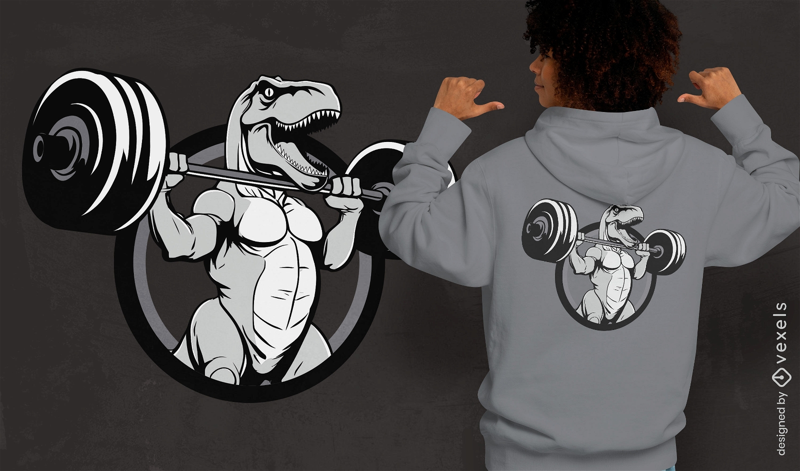
T-rex malhando design de camiseta
Escolha uma pasta
Todos os favoritos
Criar novo
Salvar
T-rex malhando design de camiseta
texto editável
Pronto para imprimir
para Merch
Mão de criança apontando três design de camiseta
Escolha uma pasta
Todos os favoritos
Criar novo
Salvar
Mão de criança apontando três design de camiseta
Pronto para imprimir
para Merch
Homem forte no design de t-shirt de animais de urso
Escolha uma pasta
Todos os favoritos
Criar novo
Salvar
Homem forte no design de t-shirt de animais de urso
Gerado por IA, selecionado por nossos designers.
para Merch
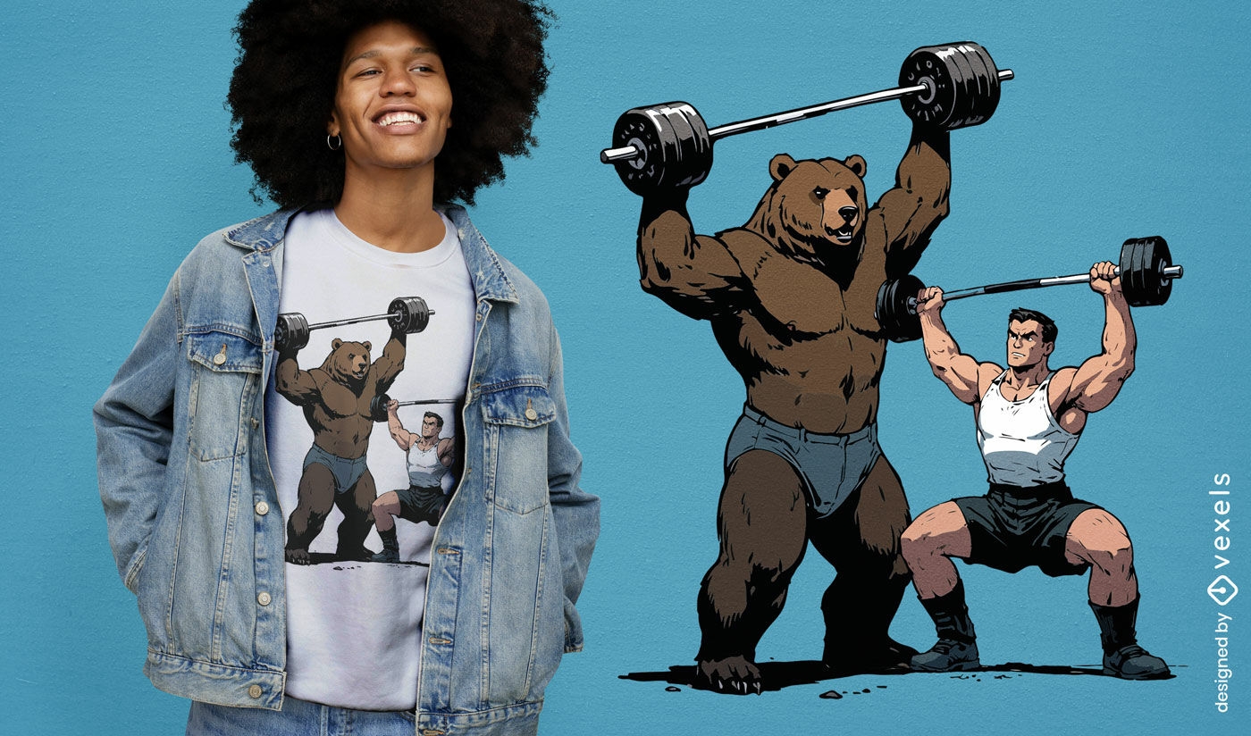
Design de camiseta masculina e urso de levantamento de peso
Escolha uma pasta
Todos os favoritos
Criar novo
Salvar
Design de camiseta masculina e urso de levantamento de peso
Premium
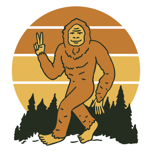
Pé Grande andando com sinal de paz ao fundo Desenho PNG
Escolha uma pasta
Todos os favoritos
Criar novo
Salvar
Pé Grande andando com sinal de paz ao fundo Desenho PNG
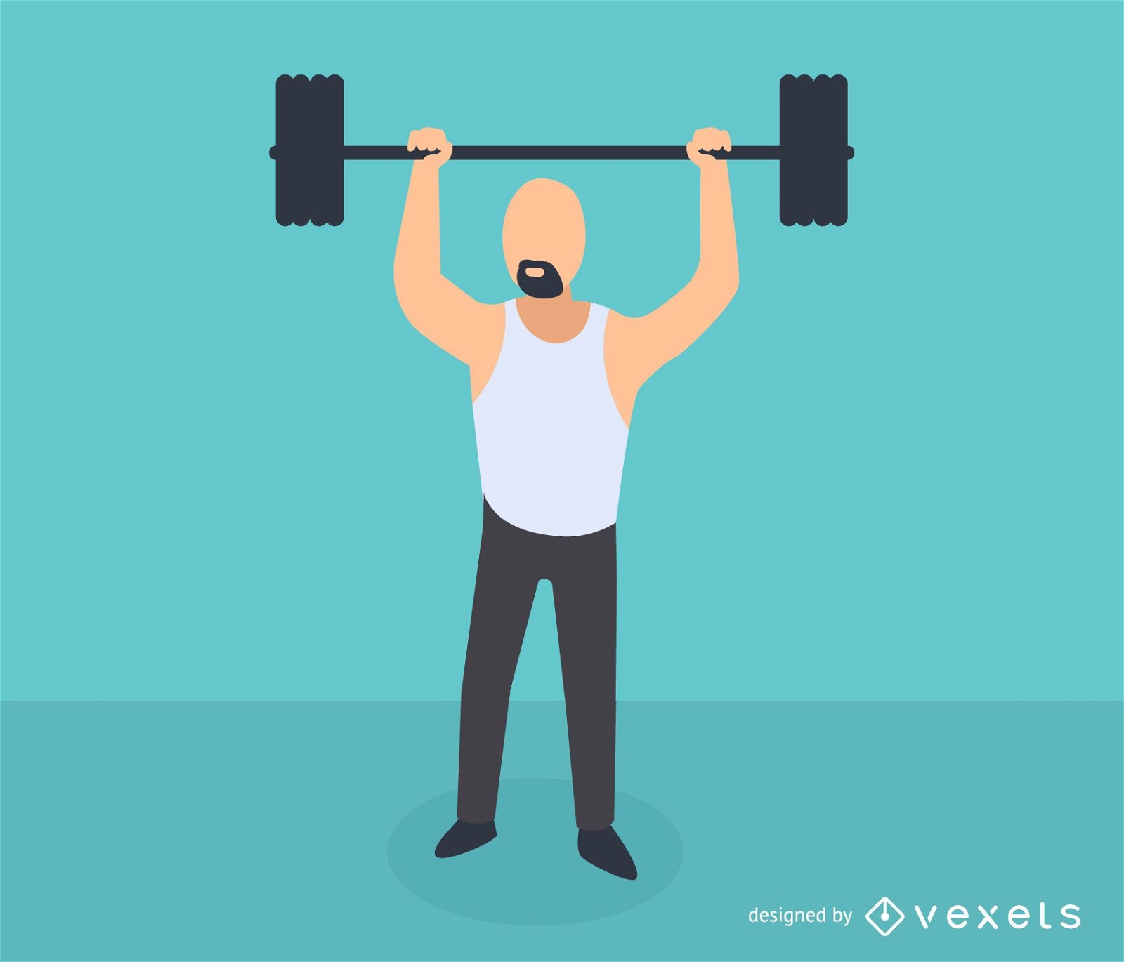
Ícone isométrico de levantamento de peso de homem
Escolha uma pasta
Todos os favoritos
Criar novo
Salvar
Ícone isométrico de levantamento de peso de homem
Pronto para imprimir
para Merch
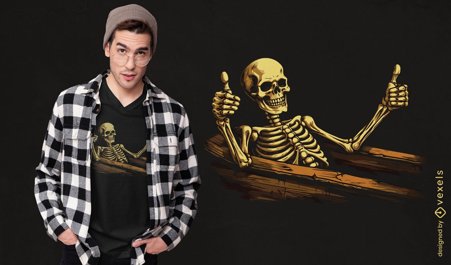
Design relaxante de camiseta com esqueleto
Escolha uma pasta
Todos os favoritos
Criar novo
Salvar
Design relaxante de camiseta com esqueleto
Pronto para imprimir
para Merch
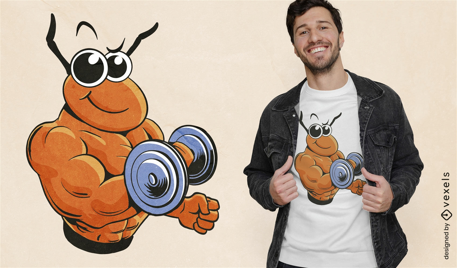
Design de camiseta de levantamento de pesos de formiga de desenho animado
Escolha uma pasta
Todos os favoritos
Criar novo
Salvar
Design de camiseta de levantamento de pesos de formiga de desenho animado
Pronto para imprimir
para Merch
Design de camiseta muscular para rato
Escolha uma pasta
Todos os favoritos
Criar novo
Salvar
Design de camiseta muscular para rato
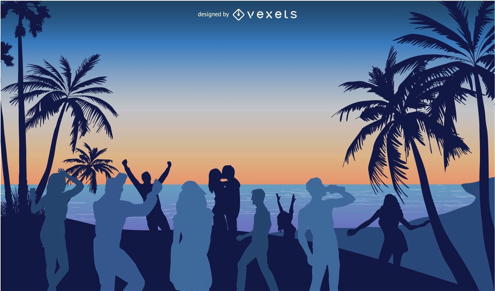
Pessoas curtindo um belo pôr do sol
Escolha uma pasta
Todos os favoritos
Criar novo
Salvar
Pessoas curtindo um belo pôr do sol
Gerado por IA, selecionado por nossos designers.
para Merch
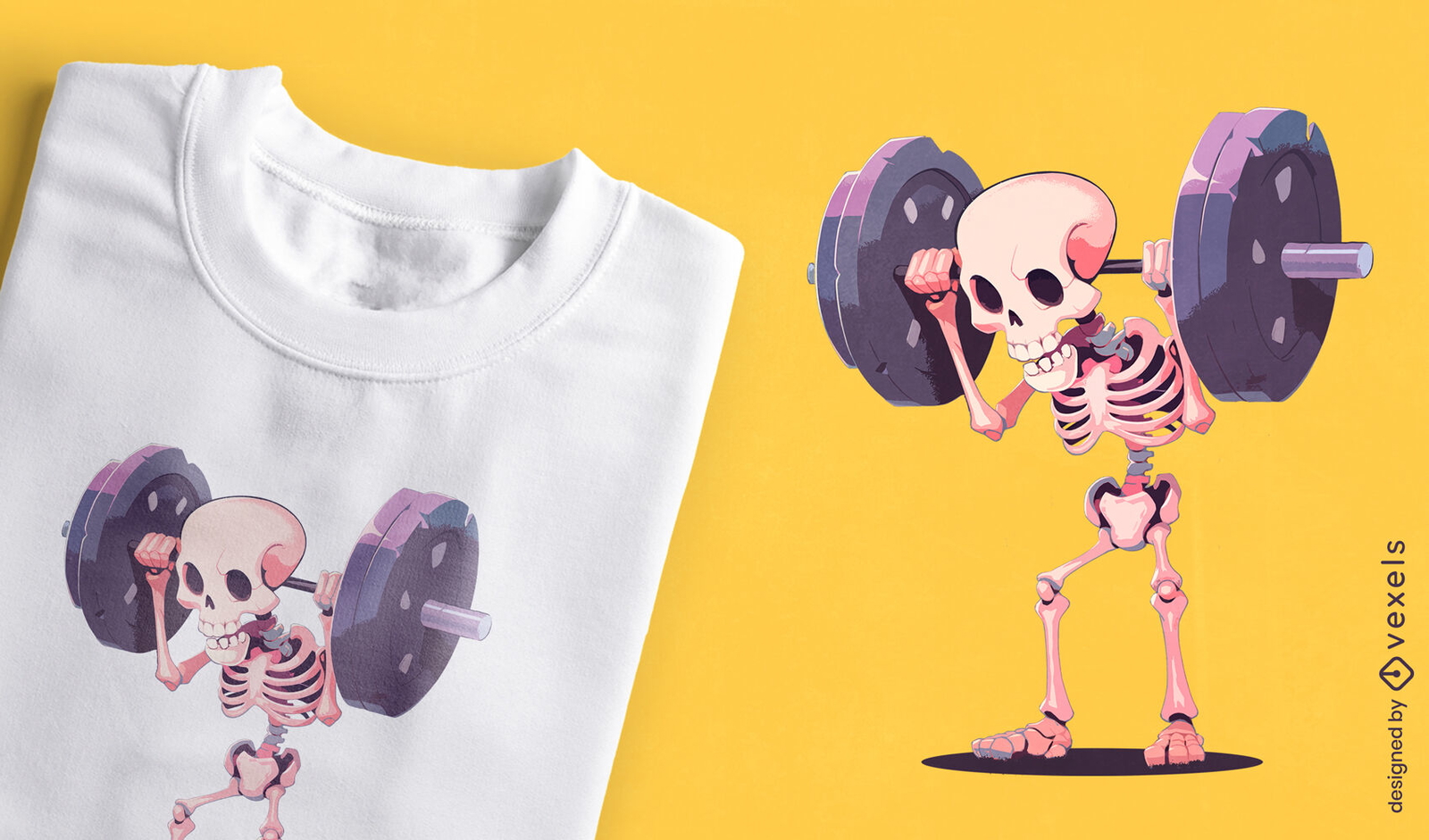
Design humorístico de camiseta com esqueleto de levantamento de peso
Escolha uma pasta
Todos os favoritos
Criar novo
Salvar
Design humorístico de camiseta com esqueleto de levantamento de peso
Impulsione seu negócio
Com a plataforma gráfica líder de mercado.
Ver planos
Próxima
do 7
prev page
next page