Biblioteca de design
Novos designs Merch
Camisetas
Vectores
Designs de Merch de Tendência
PNGs & SVGs
Mockups
Modelos de T-Shirt PSD
Explorar Desenhos
Designs KDP
Pôsteres
Canecas
Capas para celular
Sacos de compras
Almofadas
Ferramentas de desenho
Merch Designer
Novo!
Mockup Generator
Gerador de Design de AI
Vetorizador
Quote Generator
T-Shirt Maker (Antigo)
Ajuda
Merch Digest
Blog
Centro de Ajuda
Saiba mais sobre o Merch
Feedback
Soluções Corporativas
Empresa
Acesso à API
Estúdio de Design
Design em Lote
Preços
Carregando...
Inscrever-se
Conecte-se
All
map
Biblioteca de design
Novos designs Merch
Camisetas
Vectores
Designs de Merch de Tendência
PNGs & SVGs
Mockups
Modelos de T-Shirt PSD
Explorar Desenhos
Designs KDP
Pôsteres
Canecas
Capas para celular
Sacos de compras
Almofadas
Ferramentas de desenho
Merch Designer
Novo!
Mockup Generator
Gerador de Design de AI
Vetorizador
Quote Generator
T-Shirt Maker (Antigo)
Ajuda
Merch Digest
Blog
Centro de Ajuda
Saiba mais sobre o Merch
Feedback
Soluções Corporativas
Empresa
Acesso à API
Estúdio de Design
Design em Lote
PLANOS
All
map
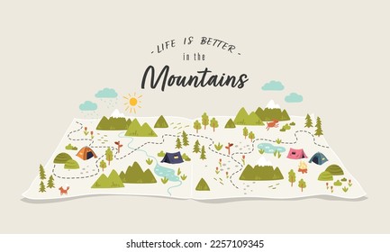
1906 Gráficos e Designs de map para Camisetas e Merch print on demand
Baixar designs de camisetas e para merch, como capas de livro, capas de celular, tote bags e mais de map
Relacionado:
mapa
,
mapas
,
mapeamento
Ordenar por
Mais relevante
Resultados patrocinados da
Ganhe 15% de desconto com o código: VEXELS15
veja mais detalhes
Premium
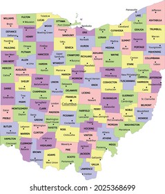
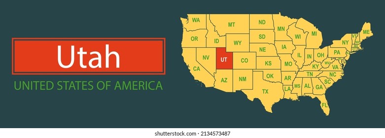
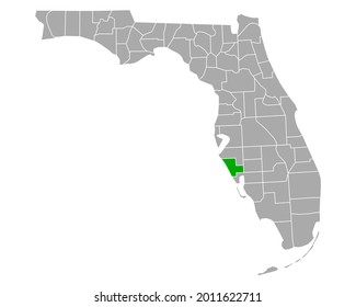
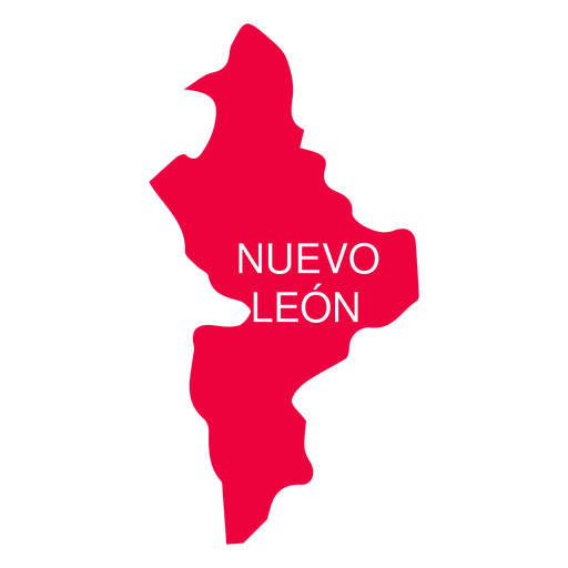
Mapa do estado de Nuevo leon Desenho PNG
Escolha uma pasta
Todos os favoritos
Criar novo
Salvar
Mapa do estado de Nuevo leon Desenho PNG
Premium
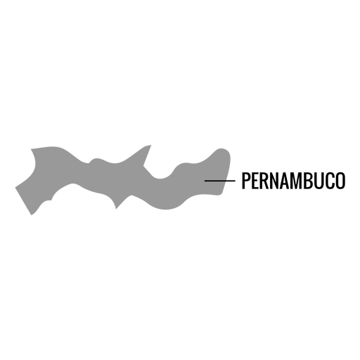
Mapa do estado de Pernambuco Desenho PNG
Escolha uma pasta
Todos os favoritos
Criar novo
Salvar
Mapa do estado de Pernambuco Desenho PNG
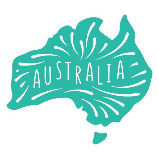
Mapa do Continente da Austrália Desenho PNG
Escolha uma pasta
Todos os favoritos
Criar novo
Salvar
Mapa do Continente da Austrália Desenho PNG
Premium
Aguascalientes mapa do estado Desenho PNG
Escolha uma pasta
Todos os favoritos
Criar novo
Salvar
Aguascalientes mapa do estado Desenho PNG
Premium
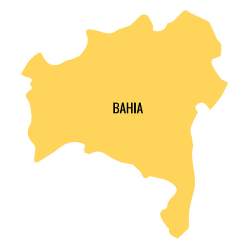
Mapa do estado da Bahia Desenho PNG
Escolha uma pasta
Todos os favoritos
Criar novo
Salvar
Mapa do estado da Bahia Desenho PNG
Premium
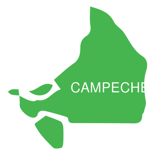
Mapa do estado de Campeche Desenho PNG
Escolha uma pasta
Todos os favoritos
Criar novo
Salvar
Mapa do estado de Campeche Desenho PNG
Premium
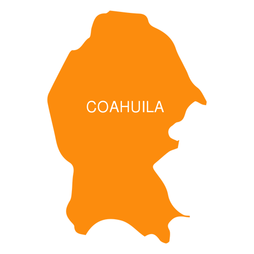
Coahuila de zaragoza mapa do estado Desenho PNG
Escolha uma pasta
Todos os favoritos
Criar novo
Salvar
Coahuila de zaragoza mapa do estado Desenho PNG
Premium
Mapa do estado de Colima Desenho PNG
Escolha uma pasta
Todos os favoritos
Criar novo
Salvar
Mapa do estado de Colima Desenho PNG
Premium
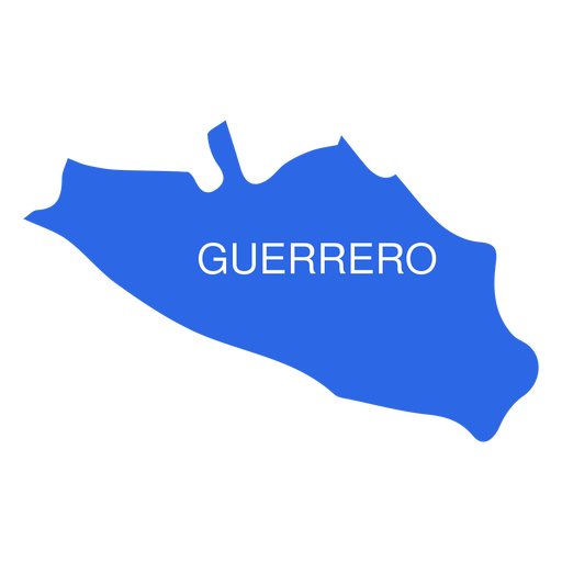
Mapa do estado de Guerrero Desenho PNG
Escolha uma pasta
Todos os favoritos
Criar novo
Salvar
Mapa do estado de Guerrero Desenho PNG
Premium
Mapa do estado de Hidalgo Desenho PNG
Escolha uma pasta
Todos os favoritos
Criar novo
Salvar
Mapa do estado de Hidalgo Desenho PNG
Premium
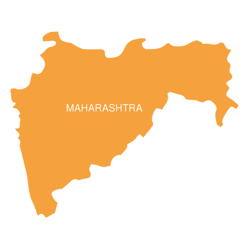
Mapa do estado de Maharashtra Desenho PNG
Escolha uma pasta
Todos os favoritos
Criar novo
Salvar
Mapa do estado de Maharashtra Desenho PNG
Premium
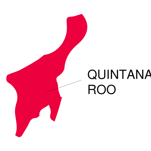
Mapa do estado de Quintana roo Desenho PNG
Escolha uma pasta
Todos os favoritos
Criar novo
Salvar
Mapa do estado de Quintana roo Desenho PNG
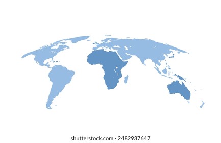
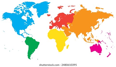
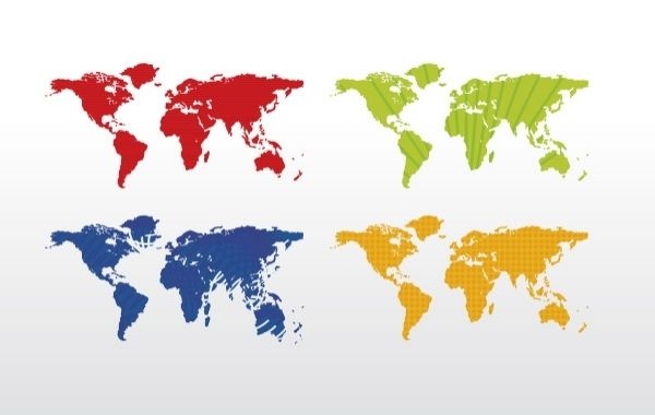
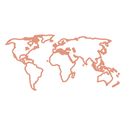
Mapa mundial (4 cores)
Escolha uma pasta
Todos os favoritos
Criar novo
Salvar
Mapa mundial (4 cores)
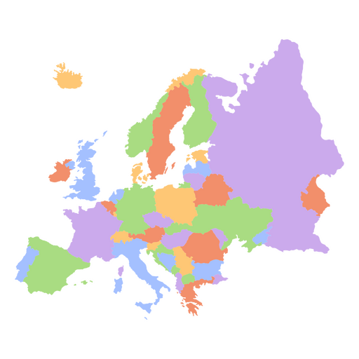
Mapa dos continentes planos da Europa Desenho PNG
Escolha uma pasta
Todos os favoritos
Criar novo
Salvar
Mapa dos continentes planos da Europa Desenho PNG
Silhueta do mapa dos EUA da Carolina do Norte Desenho PNG
Escolha uma pasta
Todos os favoritos
Criar novo
Salvar
Silhueta do mapa dos EUA da Carolina do Norte Desenho PNG
Silhueta do mapa do Alasca eua Desenho PNG
Escolha uma pasta
Todos os favoritos
Criar novo
Salvar
Silhueta do mapa do Alasca eua Desenho PNG
Premium
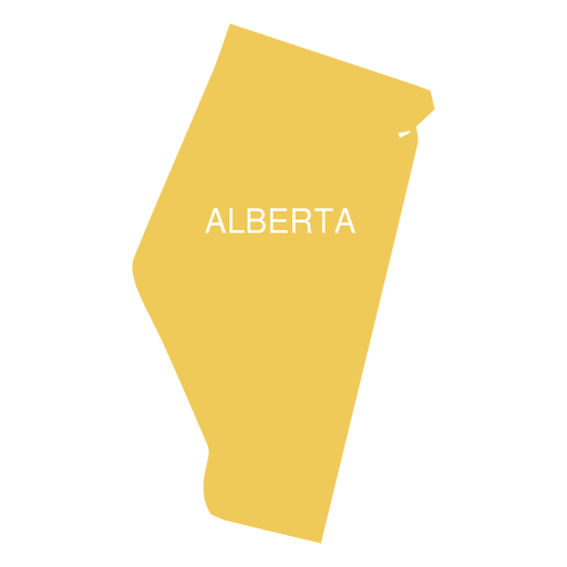
Mapa da província de Alberta Desenho PNG
Escolha uma pasta
Todos os favoritos
Criar novo
Salvar
Mapa da província de Alberta Desenho PNG
Premium
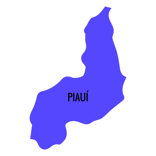
Mapa do estado do Piauí Desenho PNG
Escolha uma pasta
Todos os favoritos
Criar novo
Salvar
Mapa do estado do Piauí Desenho PNG
Premium
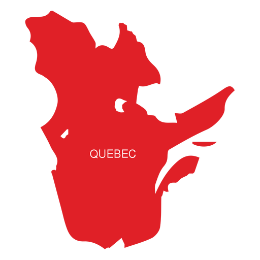
Mapa da província de Quebec Desenho PNG
Escolha uma pasta
Todos os favoritos
Criar novo
Salvar
Mapa da província de Quebec Desenho PNG
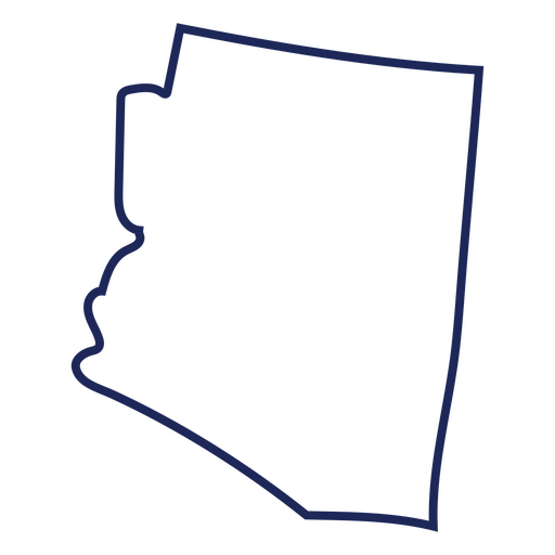
Traço de mapa do Arizona eua Desenho PNG
Escolha uma pasta
Todos os favoritos
Criar novo
Salvar
Traço de mapa do Arizona eua Desenho PNG
Premium
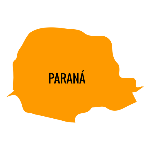
Mapa do estado do Paraná Desenho PNG
Escolha uma pasta
Todos os favoritos
Criar novo
Salvar
Mapa do estado do Paraná Desenho PNG
Silhueta do mapa de Indiana EUA Desenho PNG
Escolha uma pasta
Todos os favoritos
Criar novo
Salvar
Silhueta do mapa de Indiana EUA Desenho PNG
Silhueta do mapa dos EUA de Rhode Island Desenho PNG
Escolha uma pasta
Todos os favoritos
Criar novo
Salvar
Silhueta do mapa dos EUA de Rhode Island Desenho PNG
Premium
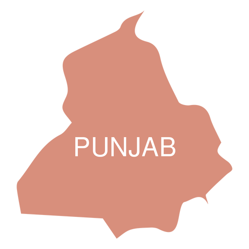
Mapa do estado de Punjab Desenho PNG
Escolha uma pasta
Todos os favoritos
Criar novo
Salvar
Mapa do estado de Punjab Desenho PNG
Premium
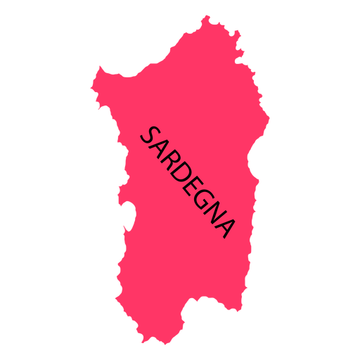
Mapa da região da Sardenha Desenho PNG
Escolha uma pasta
Todos os favoritos
Criar novo
Salvar
Mapa da região da Sardenha Desenho PNG
Premium
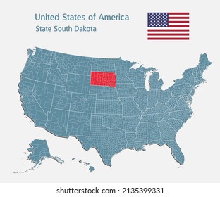
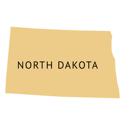
Mapa da planície do estado da Dakota do Norte Desenho PNG
Escolha uma pasta
Todos os favoritos
Criar novo
Salvar
Mapa da planície do estado da Dakota do Norte Desenho PNG
Premium
Ícone do ponteiro do marcador do mapa Desenho PNG
Escolha uma pasta
Todos os favoritos
Criar novo
Salvar
Ícone do ponteiro do marcador do mapa Desenho PNG
Premium
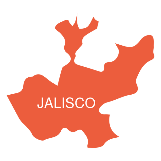
Mapa do estado de Jalisko Desenho PNG
Escolha uma pasta
Todos os favoritos
Criar novo
Salvar
Mapa do estado de Jalisko Desenho PNG
Premium
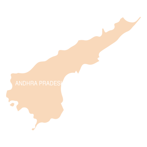
Mapa do estado de Andhra Pradesh Desenho PNG
Escolha uma pasta
Todos os favoritos
Criar novo
Salvar
Mapa do estado de Andhra Pradesh Desenho PNG
Premium
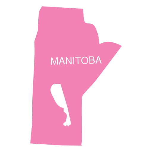
Mapa da província de Manitoba Desenho PNG
Escolha uma pasta
Todos os favoritos
Criar novo
Salvar
Mapa da província de Manitoba Desenho PNG
Premium
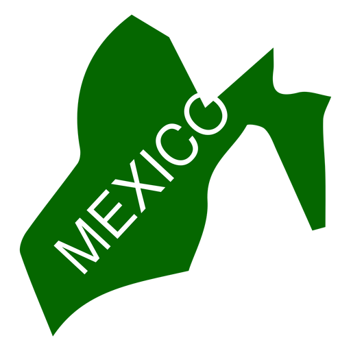
Mapa do estado do México Desenho PNG
Escolha uma pasta
Todos os favoritos
Criar novo
Salvar
Mapa do estado do México Desenho PNG
Premium
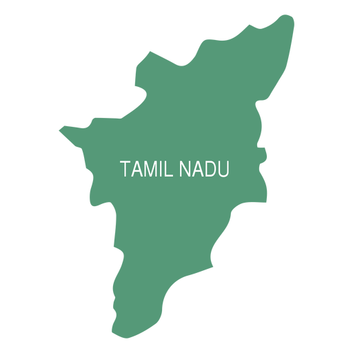
Mapa do estado de Tamil Nadu Desenho PNG
Escolha uma pasta
Todos os favoritos
Criar novo
Salvar
Mapa do estado de Tamil Nadu Desenho PNG
Premium
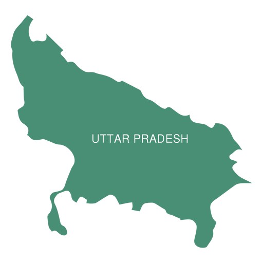
Mapa do estado de Uttar Pradesh Desenho PNG
Escolha uma pasta
Todos os favoritos
Criar novo
Salvar
Mapa do estado de Uttar Pradesh Desenho PNG
Silhueta do mapa dos EUA de Nova York Desenho PNG
Escolha uma pasta
Todos os favoritos
Criar novo
Salvar
Silhueta do mapa dos EUA de Nova York Desenho PNG
Premium
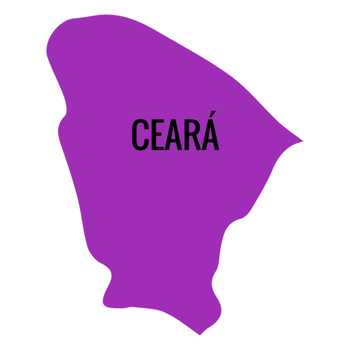
Mapa do estado do ceará Desenho PNG
Escolha uma pasta
Todos os favoritos
Criar novo
Salvar
Mapa do estado do ceará Desenho PNG
Premium
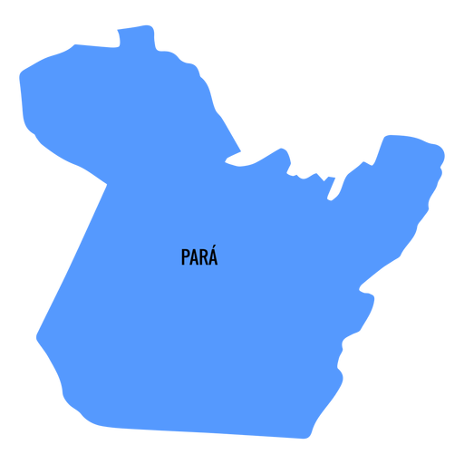
Mapa do estado do Pará Desenho PNG
Escolha uma pasta
Todos os favoritos
Criar novo
Salvar
Mapa do estado do Pará Desenho PNG
Premium
Mapa dos continentes do curso da Europa Desenho PNG
Escolha uma pasta
Todos os favoritos
Criar novo
Salvar
Mapa dos continentes do curso da Europa Desenho PNG
Continentes do curso do mapa do mundo Desenho PNG
Escolha uma pasta
Todos os favoritos
Criar novo
Salvar
Continentes do curso do mapa do mundo Desenho PNG
Premium
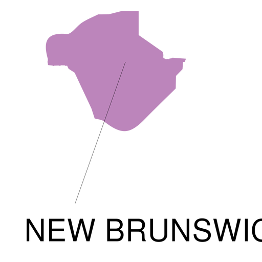
Novo mapa da província de Brunswick Desenho PNG
Escolha uma pasta
Todos os favoritos
Criar novo
Salvar
Novo mapa da província de Brunswick Desenho PNG
Premium
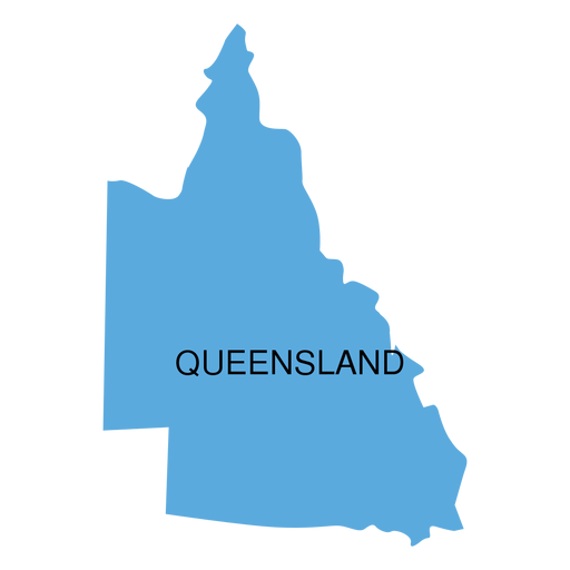
Mapa do estado de Queensland Desenho PNG
Escolha uma pasta
Todos os favoritos
Criar novo
Salvar
Mapa do estado de Queensland Desenho PNG
Premium
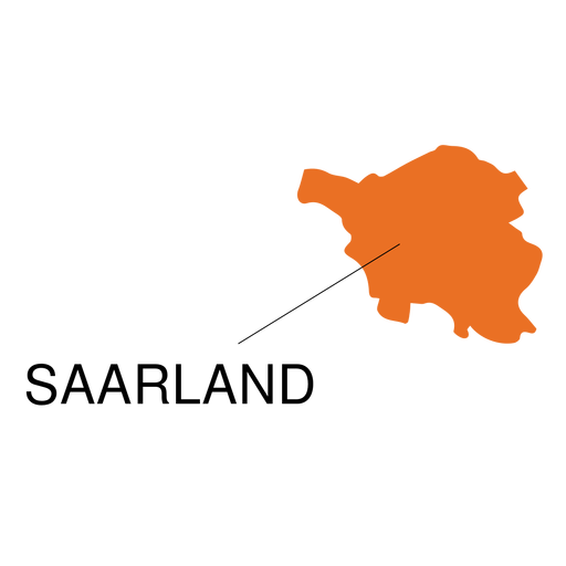
Mapa do estado do Sarre Desenho PNG
Escolha uma pasta
Todos os favoritos
Criar novo
Salvar
Mapa do estado do Sarre Desenho PNG
Premium
Mapa verde continental europeu Desenho PNG
Escolha uma pasta
Todos os favoritos
Criar novo
Salvar
Mapa verde continental europeu Desenho PNG
Silhueta do mapa de Nebraska EUA Desenho PNG
Escolha uma pasta
Todos os favoritos
Criar novo
Salvar
Silhueta do mapa de Nebraska EUA Desenho PNG
Silhueta do mapa dos EUA da Virgínia Ocidental Desenho PNG
Escolha uma pasta
Todos os favoritos
Criar novo
Salvar
Silhueta do mapa dos EUA da Virgínia Ocidental Desenho PNG
Silhueta do mapa de Wyoming EUA Desenho PNG
Escolha uma pasta
Todos os favoritos
Criar novo
Salvar
Silhueta do mapa de Wyoming EUA Desenho PNG
Premium
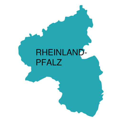
Mapa do estado do palatinado da Renânia Desenho PNG
Escolha uma pasta
Todos os favoritos
Criar novo
Salvar
Mapa do estado do palatinado da Renânia Desenho PNG
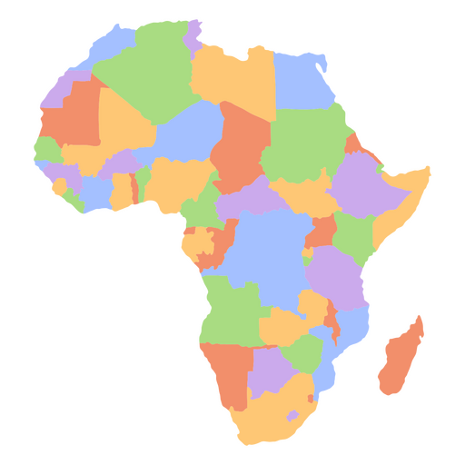
Mapa dos continentes planos da África Desenho PNG
Escolha uma pasta
Todos os favoritos
Criar novo
Salvar
Mapa dos continentes planos da África Desenho PNG
Silhueta do mapa dos EUA do Kansas Desenho PNG
Escolha uma pasta
Todos os favoritos
Criar novo
Salvar
Silhueta do mapa dos EUA do Kansas Desenho PNG
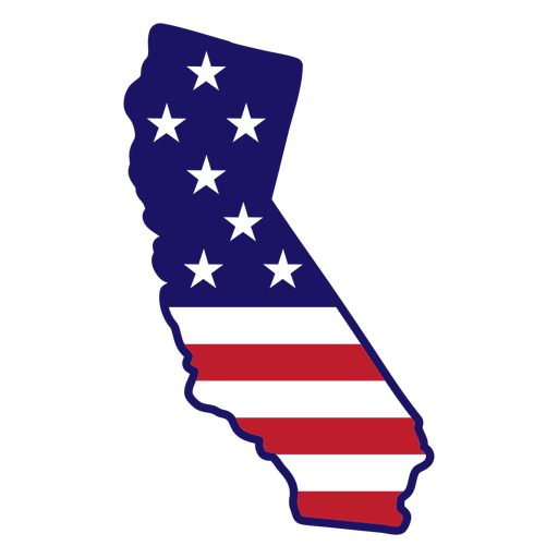
Traço de cor do mapa do estado da Califórnia Desenho PNG
Escolha uma pasta
Todos os favoritos
Criar novo
Salvar
Traço de cor do mapa do estado da Califórnia Desenho PNG
Premium
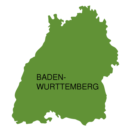
Mapa do estado de Baden-Wurttemberg Desenho PNG
Escolha uma pasta
Todos os favoritos
Criar novo
Salvar
Mapa do estado de Baden-Wurttemberg Desenho PNG
Impulsione seu negócio
Com a plataforma gráfica líder de mercado.
Ver planos
Próxima
do 39
prev page
next page