Biblioteca de design
Novos designs Merch
Camisetas
Vectores
Designs de Merch de Tendência
PNGs & SVGs
Mockups
Modelos de T-Shirt PSD
Explorar Desenhos
Designs KDP
Pôsteres
Canecas
Capas para celular
Sacos de compras
Almofadas
Ferramentas de desenho
Merch Designer
Novo!
Mockup Generator
Gerador de Design de AI
Vetorizador
Quote Generator
T-Shirt Maker (Antigo)
Ajuda
Merch Digest
Blog
Centro de Ajuda
Saiba mais sobre o Merch
Feedback
Soluções Corporativas
Empresa
Acesso à API
Estúdio de Design
Design em Lote
Preços
Carregando...
Inscrever-se
Conecte-se
All
map
Biblioteca de design
Novos designs Merch
Camisetas
Vectores
Designs de Merch de Tendência
PNGs & SVGs
Mockups
Modelos de T-Shirt PSD
Explorar Desenhos
Designs KDP
Pôsteres
Canecas
Capas para celular
Sacos de compras
Almofadas
Ferramentas de desenho
Merch Designer
Novo!
Mockup Generator
Gerador de Design de AI
Vetorizador
Quote Generator
T-Shirt Maker (Antigo)
Ajuda
Merch Digest
Blog
Centro de Ajuda
Saiba mais sobre o Merch
Feedback
Soluções Corporativas
Empresa
Acesso à API
Estúdio de Design
Design em Lote
PLANOS
All
map
1906 Gráficos e Designs de map para Camisetas e Merch print on demand
Baixar designs de camisetas e para merch, como capas de livro, capas de celular, tote bags e mais de map
Relacionado:
mapa
,
mapas
,
mapeamento
Ordenar por
Mais relevante
Resultados patrocinados da
Ganhe 15% de desconto com o código: VEXELS15
veja mais detalhes
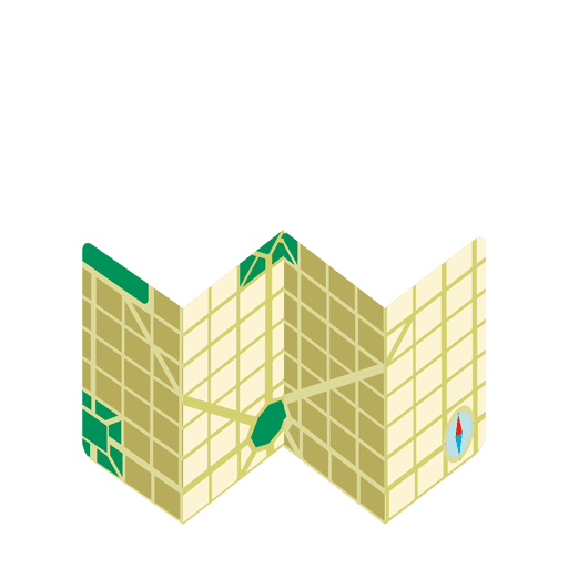
Ícone do mapa de viagem Desenho PNG
Escolha uma pasta
Todos os favoritos
Criar novo
Salvar
Ícone do mapa de viagem Desenho PNG
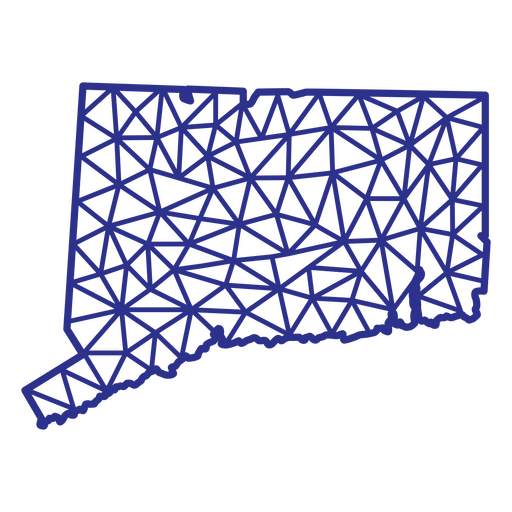
Mapa de Connecticut poligonal Desenho PNG
Escolha uma pasta
Todos os favoritos
Criar novo
Salvar
Mapa de Connecticut poligonal Desenho PNG
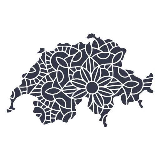
Mandala da silhueta do mapa da Suíça cortada Desenho PNG
Escolha uma pasta
Todos os favoritos
Criar novo
Salvar
Mandala da silhueta do mapa da Suíça cortada Desenho PNG
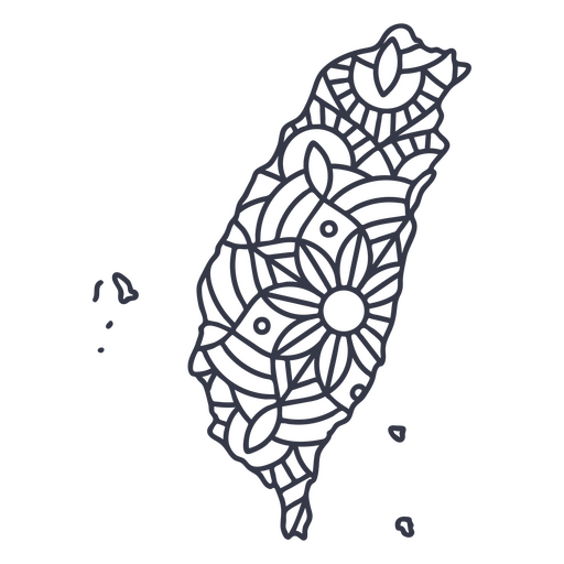
Curso de mandala de silhueta de mapa de Taiwan Desenho PNG
Escolha uma pasta
Todos os favoritos
Criar novo
Salvar
Curso de mandala de silhueta de mapa de Taiwan Desenho PNG
Projeto do coração do mapa da cidade Desenho PNG
Escolha uma pasta
Todos os favoritos
Criar novo
Salvar
Projeto do coração do mapa da cidade Desenho PNG
Premium
Silhueta de animais mapa dos EUA Desenho PNG
Escolha uma pasta
Todos os favoritos
Criar novo
Salvar
Silhueta de animais mapa dos EUA Desenho PNG
Premium
Elemento de design de mapa americano Desenho PNG
Escolha uma pasta
Todos os favoritos
Criar novo
Salvar
Elemento de design de mapa americano Desenho PNG
Premium
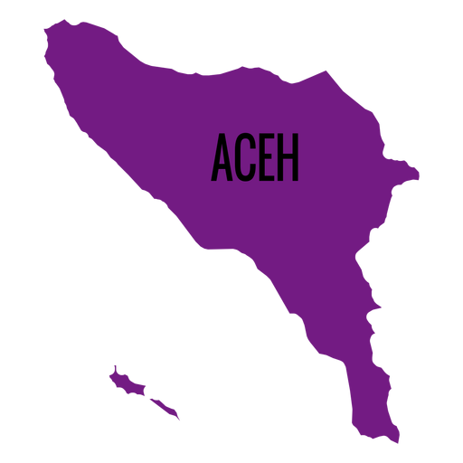
Mapa da província de Aceh Desenho PNG
Escolha uma pasta
Todos os favoritos
Criar novo
Salvar
Mapa da província de Aceh Desenho PNG
Premium
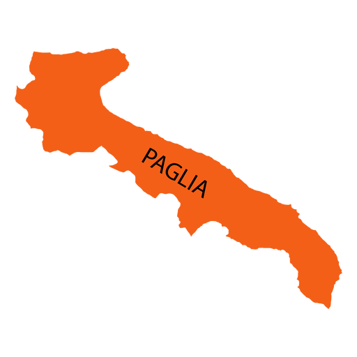
Mapa da região da Apúlia Desenho PNG
Escolha uma pasta
Todos os favoritos
Criar novo
Salvar
Mapa da região da Apúlia Desenho PNG
Premium
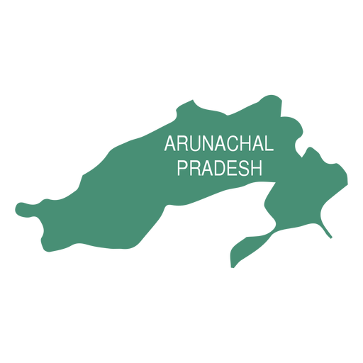
Mapa do estado de Arunachal Pradesh Desenho PNG
Escolha uma pasta
Todos os favoritos
Criar novo
Salvar
Mapa do estado de Arunachal Pradesh Desenho PNG
Premium
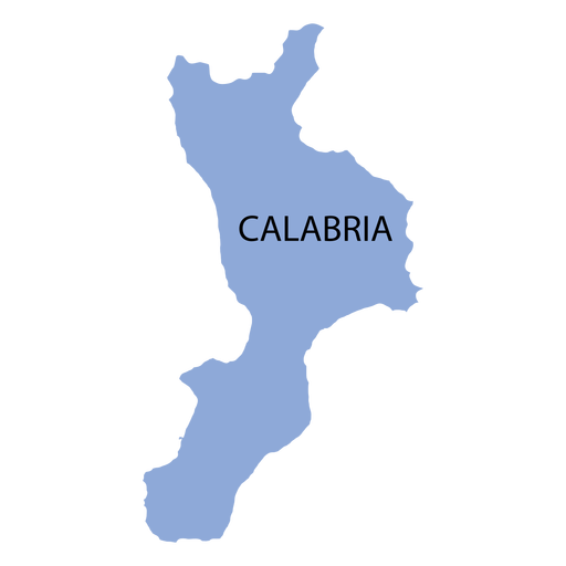
Mapa da região da Calábria Desenho PNG
Escolha uma pasta
Todos os favoritos
Criar novo
Salvar
Mapa da região da Calábria Desenho PNG
Premium
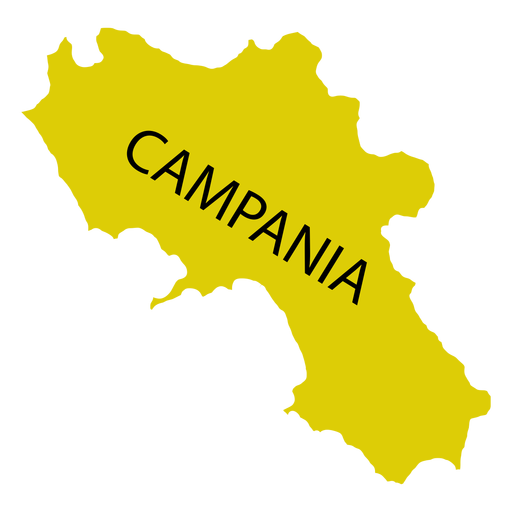
Mapa da região da Campânia Desenho PNG
Escolha uma pasta
Todos os favoritos
Criar novo
Salvar
Mapa da região da Campânia Desenho PNG
Premium
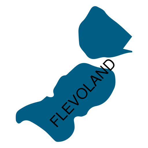
Mapa da província de Flevoland Desenho PNG
Escolha uma pasta
Todos os favoritos
Criar novo
Salvar
Mapa da província de Flevoland Desenho PNG
Premium
Mapa do estado de Goa Desenho PNG
Escolha uma pasta
Todos os favoritos
Criar novo
Salvar
Mapa do estado de Goa Desenho PNG
Mapa de viagem desenhado à mão Desenho PNG
Escolha uma pasta
Todos os favoritos
Criar novo
Salvar
Mapa de viagem desenhado à mão Desenho PNG
Premium
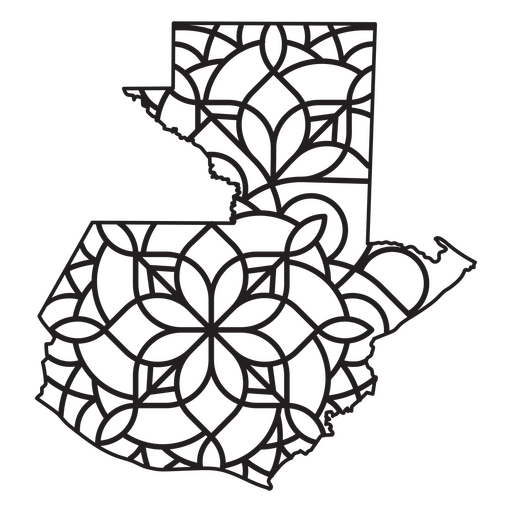
Mapa em estilo mandala em forma de Guatemala Desenho PNG
Escolha uma pasta
Todos os favoritos
Criar novo
Salvar
Mapa em estilo mandala em forma de Guatemala Desenho PNG
Uma silhueta do mapa da Islândia Desenho PNG
Escolha uma pasta
Todos os favoritos
Criar novo
Salvar
Uma silhueta do mapa da Islândia Desenho PNG
Uma silhueta do mapa da Guatemala Desenho PNG
Escolha uma pasta
Todos os favoritos
Criar novo
Salvar
Uma silhueta do mapa da Guatemala Desenho PNG
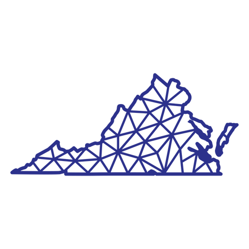
Poligonal do mapa da Virgínia Desenho PNG
Escolha uma pasta
Todos os favoritos
Criar novo
Salvar
Poligonal do mapa da Virgínia Desenho PNG
Kindle Direct
texto editável
Premium
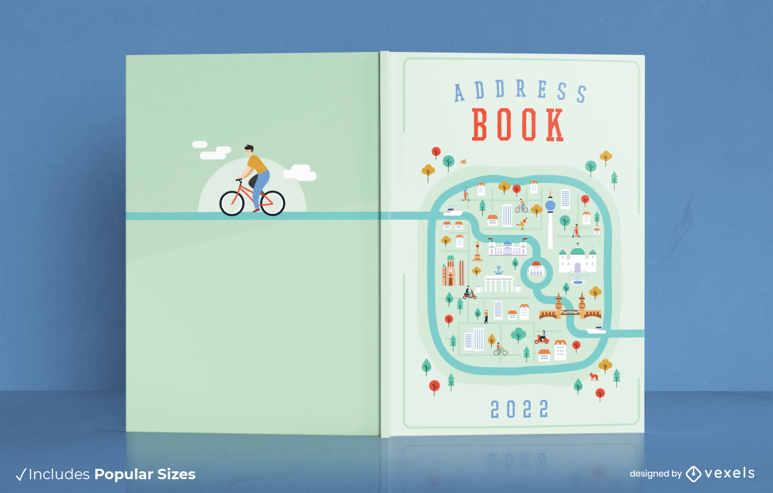
Design da capa do livro de endereços do mapa da cidade
Escolha uma pasta
Todos os favoritos
Criar novo
Salvar
Design da capa do livro de endereços do mapa da cidade
Mapa de traçado cheio de bandeira americana do estado de Louisiana Desenho PNG
Escolha uma pasta
Todos os favoritos
Criar novo
Salvar
Mapa de traçado cheio de bandeira americana do estado de Louisiana Desenho PNG
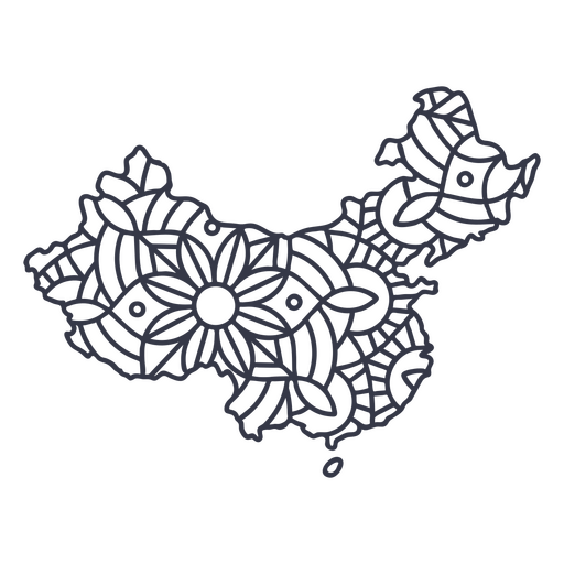
Curso de mandala de silhueta de mapa da China Desenho PNG
Escolha uma pasta
Todos os favoritos
Criar novo
Salvar
Curso de mandala de silhueta de mapa da China Desenho PNG
Premium
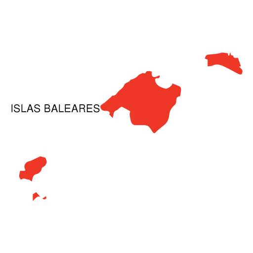
Mapa da comunidade autônoma das Ilhas Baleares Desenho PNG
Escolha uma pasta
Todos os favoritos
Criar novo
Salvar
Mapa da comunidade autônoma das Ilhas Baleares Desenho PNG
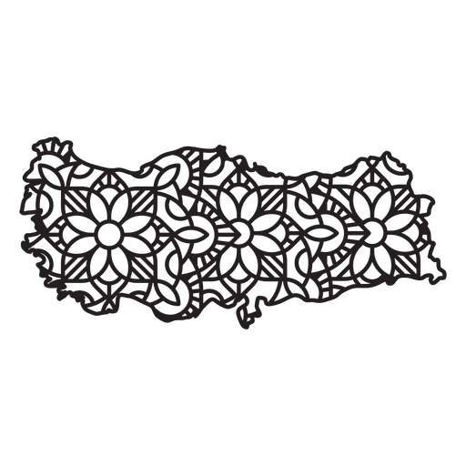
Mapa da Mandala da Turquia Desenho PNG
Escolha uma pasta
Todos os favoritos
Criar novo
Salvar
Mapa da Mandala da Turquia Desenho PNG
Mapa do curso do continente antártico Desenho PNG
Escolha uma pasta
Todos os favoritos
Criar novo
Salvar
Mapa do curso do continente antártico Desenho PNG
Traço de cor do mapa do Havaí Desenho PNG
Escolha uma pasta
Todos os favoritos
Criar novo
Salvar
Traço de cor do mapa do Havaí Desenho PNG
Premium
Silhueta do mapa da áfrica Desenho PNG
Escolha uma pasta
Todos os favoritos
Criar novo
Salvar
Silhueta do mapa da áfrica Desenho PNG
Premium
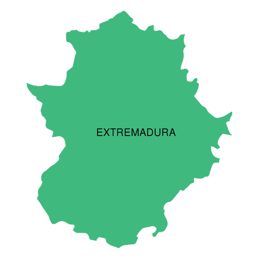
Mapa da comunidade autônoma da Extremadura Desenho PNG
Escolha uma pasta
Todos os favoritos
Criar novo
Salvar
Mapa da comunidade autônoma da Extremadura Desenho PNG
Premium
Mapa do estado da austrália do sul Desenho PNG
Escolha uma pasta
Todos os favoritos
Criar novo
Salvar
Mapa do estado da austrália do sul Desenho PNG
Premium
Ícone do mapa mundial Desenho PNG
Escolha uma pasta
Todos os favoritos
Criar novo
Salvar
Ícone do mapa mundial Desenho PNG
Uma silhueta do mapa da Bélgica Desenho PNG
Escolha uma pasta
Todos os favoritos
Criar novo
Salvar
Uma silhueta do mapa da Bélgica Desenho PNG
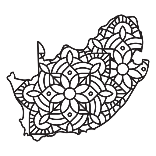
Mapa da Mandala Sul-Africana Desenho PNG
Escolha uma pasta
Todos os favoritos
Criar novo
Salvar
Mapa da Mandala Sul-Africana Desenho PNG
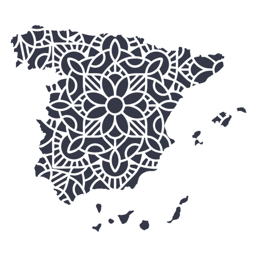
Mapa da Mandala da Espanha Desenho PNG
Escolha uma pasta
Todos os favoritos
Criar novo
Salvar
Mapa da Mandala da Espanha Desenho PNG
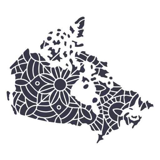
Mandala da silhueta do mapa do Canadá cortada Desenho PNG
Escolha uma pasta
Todos os favoritos
Criar novo
Salvar
Mandala da silhueta do mapa do Canadá cortada Desenho PNG
Premium
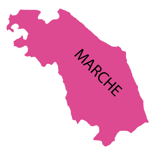
Mapa da região de Marchas Desenho PNG
Escolha uma pasta
Todos os favoritos
Criar novo
Salvar
Mapa da região de Marchas Desenho PNG
Premium
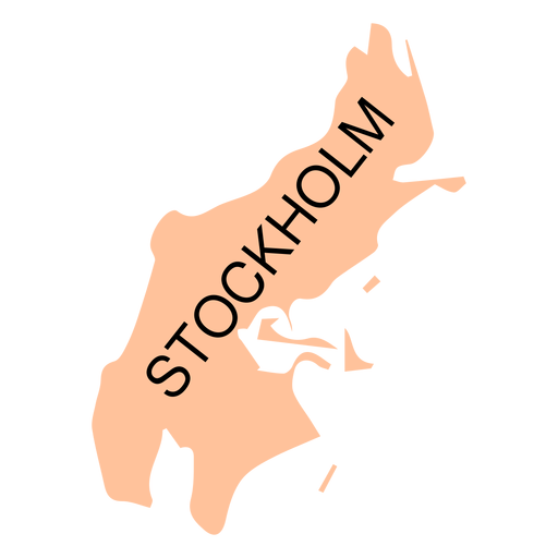
Mapa do condado de Estocolmo Desenho PNG
Escolha uma pasta
Todos os favoritos
Criar novo
Salvar
Mapa do condado de Estocolmo Desenho PNG
Premium
Mapa do distrito de Tel Aviv Desenho PNG
Escolha uma pasta
Todos os favoritos
Criar novo
Salvar
Mapa do distrito de Tel Aviv Desenho PNG
Premium
Mapa do estado de Tripura Desenho PNG
Escolha uma pasta
Todos os favoritos
Criar novo
Salvar
Mapa do estado de Tripura Desenho PNG
Premium
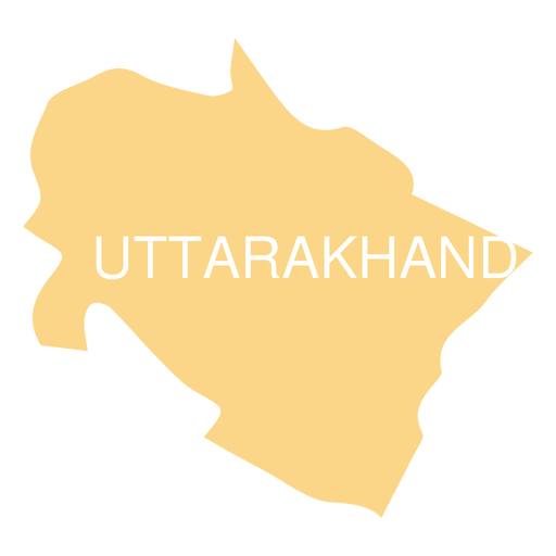
Mapa do estado de Uttarakhand Desenho PNG
Escolha uma pasta
Todos os favoritos
Criar novo
Salvar
Mapa do estado de Uttarakhand Desenho PNG
Papai Noel segurando um mapa Desenho PNG
Escolha uma pasta
Todos os favoritos
Criar novo
Salvar
Papai Noel segurando um mapa Desenho PNG
Uma silhueta do mapa do Chile Desenho PNG
Escolha uma pasta
Todos os favoritos
Criar novo
Salvar
Uma silhueta do mapa do Chile Desenho PNG
Uma silhueta do mapa do Brasil Desenho PNG
Escolha uma pasta
Todos os favoritos
Criar novo
Salvar
Uma silhueta do mapa do Brasil Desenho PNG
Pronto para imprimir
para Merch
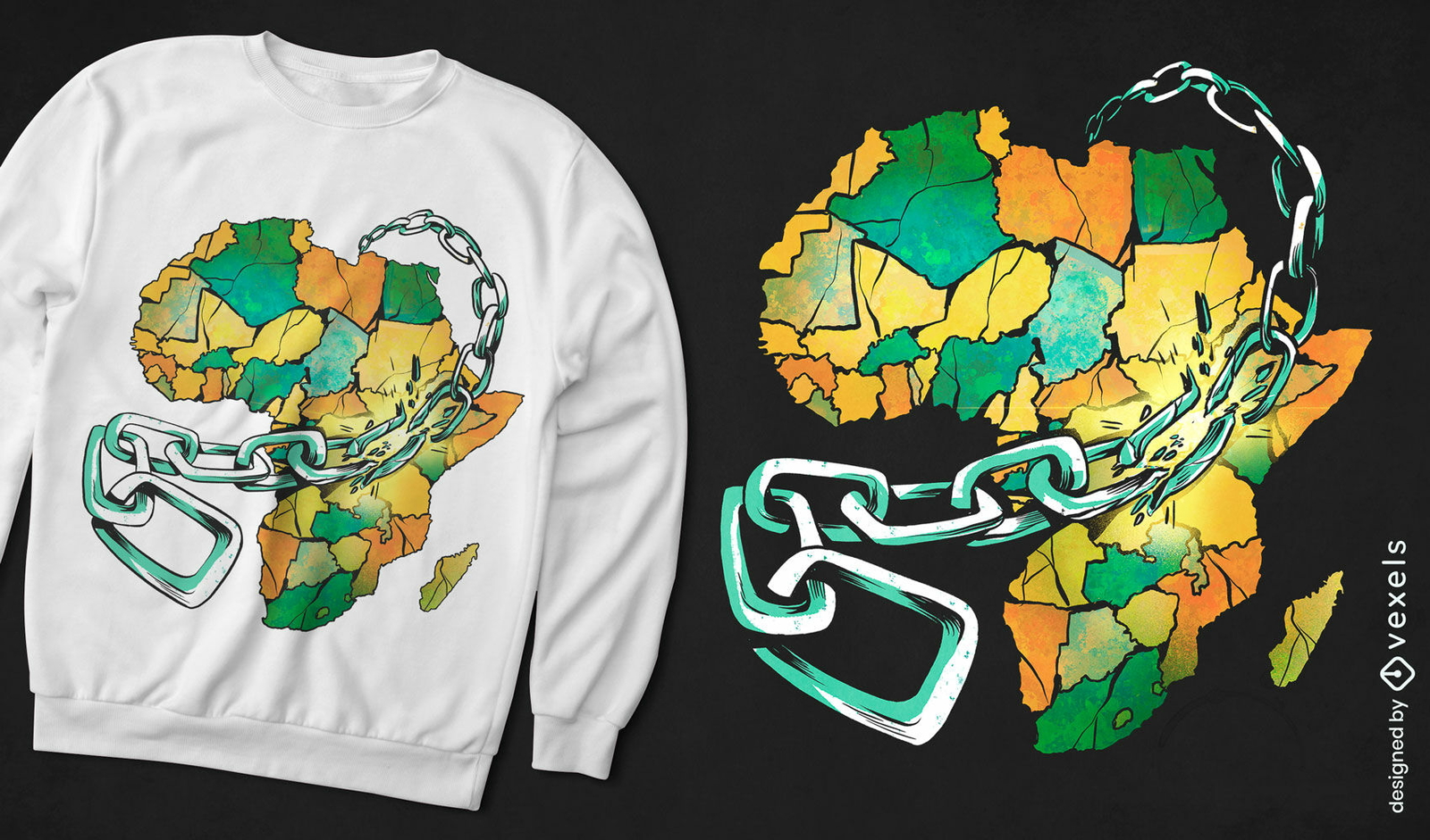
Mapa da África em design de camiseta de correntes
Escolha uma pasta
Todos os favoritos
Criar novo
Salvar
Mapa da África em design de camiseta de correntes
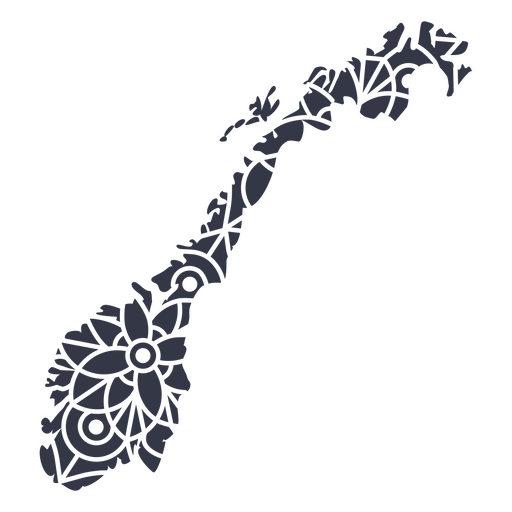
Mapa da Mandala Noruega Desenho PNG
Escolha uma pasta
Todos os favoritos
Criar novo
Salvar
Mapa da Mandala Noruega Desenho PNG
Mandala Espanha Mapa Desenho PNG
Escolha uma pasta
Todos os favoritos
Criar novo
Salvar
Mandala Espanha Mapa Desenho PNG
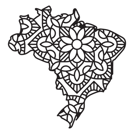
Mapa da Mandala do Brasil Desenho PNG
Escolha uma pasta
Todos os favoritos
Criar novo
Salvar
Mapa da Mandala do Brasil Desenho PNG
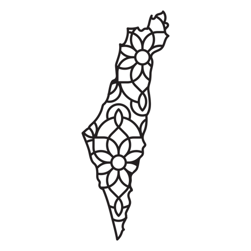
Mapa da Mandala de Israel Desenho PNG
Escolha uma pasta
Todos os favoritos
Criar novo
Salvar
Mapa da Mandala de Israel Desenho PNG
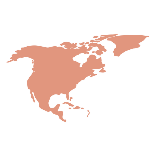
Silhueta do mapa da América do Norte Desenho PNG
Escolha uma pasta
Todos os favoritos
Criar novo
Salvar
Silhueta do mapa da América do Norte Desenho PNG
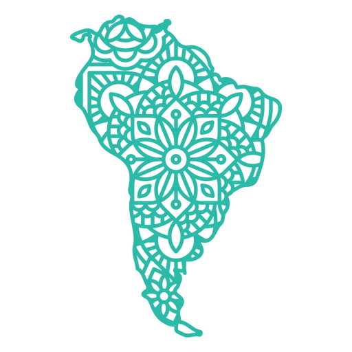
Mapa da América do Sul Mandala Desenho PNG
Escolha uma pasta
Todos os favoritos
Criar novo
Salvar
Mapa da América do Sul Mandala Desenho PNG
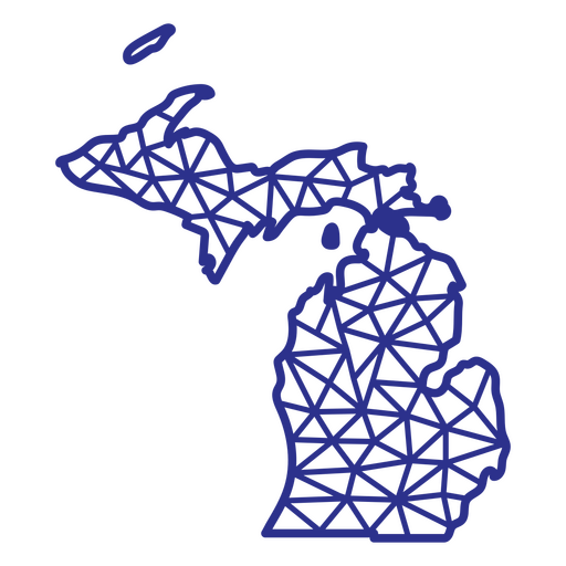
Mapa de Michigan poligonal Desenho PNG
Escolha uma pasta
Todos os favoritos
Criar novo
Salvar
Mapa de Michigan poligonal Desenho PNG
Impulsione seu negócio
Com a plataforma gráfica líder de mercado.
Ver planos
Próxima
do 39
prev page
next page