Biblioteca de design
Novos designs Merch
Camisetas
Vectores
Designs de Merch de Tendência
PNGs & SVGs
Mockups
Modelos de T-Shirt PSD
Explorar Desenhos
Designs KDP
Pôsteres
Canecas
Capas para celular
Sacos de compras
Almofadas
Ferramentas de desenho
Merch Designer
Novo!
Mockup Generator
Gerador de Design de AI
Vetorizador
Quote Generator
T-Shirt Maker (Antigo)
Ajuda
Merch Digest
Blog
Centro de Ajuda
Saiba mais sobre o Merch
Feedback
Soluções Corporativas
Empresa
Acesso à API
Estúdio de Design
Design em Lote
Preços
Carregando...
Inscrever-se
Conecte-se
All
map
Biblioteca de design
Novos designs Merch
Camisetas
Vectores
Designs de Merch de Tendência
PNGs & SVGs
Mockups
Modelos de T-Shirt PSD
Explorar Desenhos
Designs KDP
Pôsteres
Canecas
Capas para celular
Sacos de compras
Almofadas
Ferramentas de desenho
Merch Designer
Novo!
Mockup Generator
Gerador de Design de AI
Vetorizador
Quote Generator
T-Shirt Maker (Antigo)
Ajuda
Merch Digest
Blog
Centro de Ajuda
Saiba mais sobre o Merch
Feedback
Soluções Corporativas
Empresa
Acesso à API
Estúdio de Design
Design em Lote
PLANOS
All
map
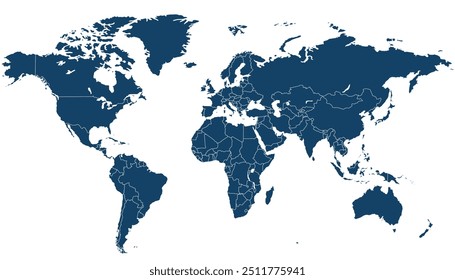
1906 Gráficos e Designs de map para Camisetas e Merch print on demand
Baixar designs de camisetas e para merch, como capas de livro, capas de celular, tote bags e mais de map
Relacionado:
mapa
,
mapas
,
mapeamento
Ordenar por
Mais relevante
Resultados patrocinados da
Ganhe 15% de desconto com o código: VEXELS15
veja mais detalhes
Premium
Trabalhador da construção civil segurando mapa Desenho PNG
Escolha uma pasta
Todos os favoritos
Criar novo
Salvar
Trabalhador da construção civil segurando mapa Desenho PNG
Uma silhueta do mapa da Suécia Desenho PNG
Escolha uma pasta
Todos os favoritos
Criar novo
Salvar
Uma silhueta do mapa da Suécia Desenho PNG
Mapa dos continentes do curso da américa do norte Desenho PNG
Escolha uma pasta
Todos os favoritos
Criar novo
Salvar
Mapa dos continentes do curso da américa do norte Desenho PNG
Mapa dos continentes do curso da Oceania Desenho PNG
Escolha uma pasta
Todos os favoritos
Criar novo
Salvar
Mapa dos continentes do curso da Oceania Desenho PNG
Mandala da silhueta do mapa do Reino Unido cortada Desenho PNG
Escolha uma pasta
Todos os favoritos
Criar novo
Salvar
Mandala da silhueta do mapa do Reino Unido cortada Desenho PNG
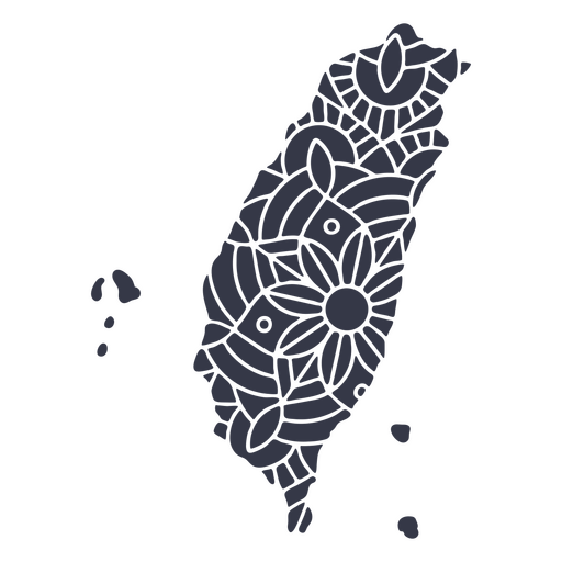
Mandala de silhueta de mapa de Taiwan cortada Desenho PNG
Escolha uma pasta
Todos os favoritos
Criar novo
Salvar
Mandala de silhueta de mapa de Taiwan cortada Desenho PNG
Premium
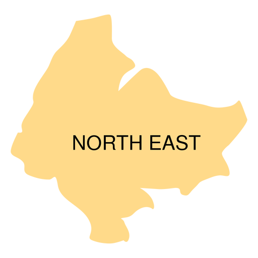
Mapa do distrito do nordeste Desenho PNG
Escolha uma pasta
Todos os favoritos
Criar novo
Salvar
Mapa do distrito do nordeste Desenho PNG
Pronto para imprimir
para Merch
Design de caneca de mapa africano do mês da história negra
Escolha uma pasta
Todos os favoritos
Criar novo
Salvar
Design de caneca de mapa africano do mês da história negra
Mapa da Mandala da Arábia Saudita Desenho PNG
Escolha uma pasta
Todos os favoritos
Criar novo
Salvar
Mapa da Mandala da Arábia Saudita Desenho PNG
Mapa dos continentes do curso de África Desenho PNG
Escolha uma pasta
Todos os favoritos
Criar novo
Salvar
Mapa dos continentes do curso de África Desenho PNG
Mapa do Maine poligonal Desenho PNG
Escolha uma pasta
Todos os favoritos
Criar novo
Salvar
Mapa do Maine poligonal Desenho PNG
Poligonal do mapa de Massachusetts Desenho PNG
Escolha uma pasta
Todos os favoritos
Criar novo
Salvar
Poligonal do mapa de Massachusetts Desenho PNG
Mapa da Pensilvânia poligonal Desenho PNG
Escolha uma pasta
Todos os favoritos
Criar novo
Salvar
Mapa da Pensilvânia poligonal Desenho PNG
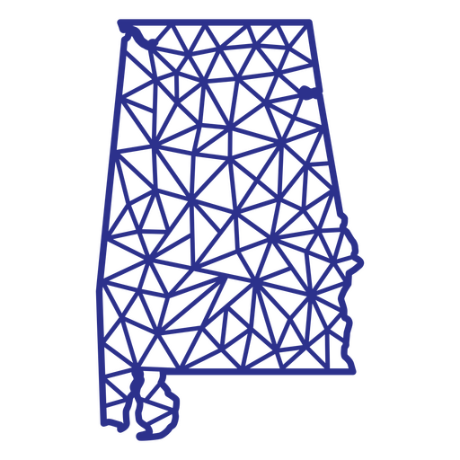
Mapa poligonal do Alabama Desenho PNG
Escolha uma pasta
Todos os favoritos
Criar novo
Salvar
Mapa poligonal do Alabama Desenho PNG
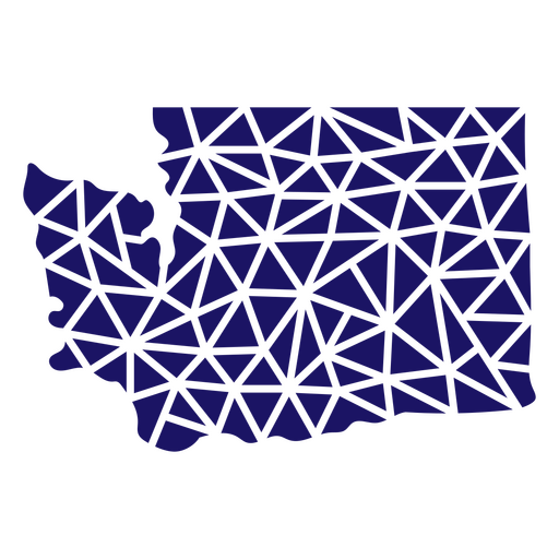
Mapa poligonal do estado de Washington Desenho PNG
Escolha uma pasta
Todos os favoritos
Criar novo
Salvar
Mapa poligonal do estado de Washington Desenho PNG
Curso de mandala de silhueta de mapa do Reino Unido Desenho PNG
Escolha uma pasta
Todos os favoritos
Criar novo
Salvar
Curso de mandala de silhueta de mapa do Reino Unido Desenho PNG
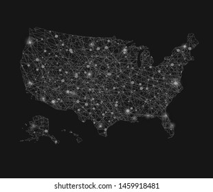
Elemento de traço do mapa dos Estados Unidos Desenho PNG
Escolha uma pasta
Todos os favoritos
Criar novo
Salvar
Elemento de traço do mapa dos Estados Unidos Desenho PNG
Premium
Mapa da província central de Sulawesi Desenho PNG
Escolha uma pasta
Todos os favoritos
Criar novo
Salvar
Mapa da província central de Sulawesi Desenho PNG
Premium
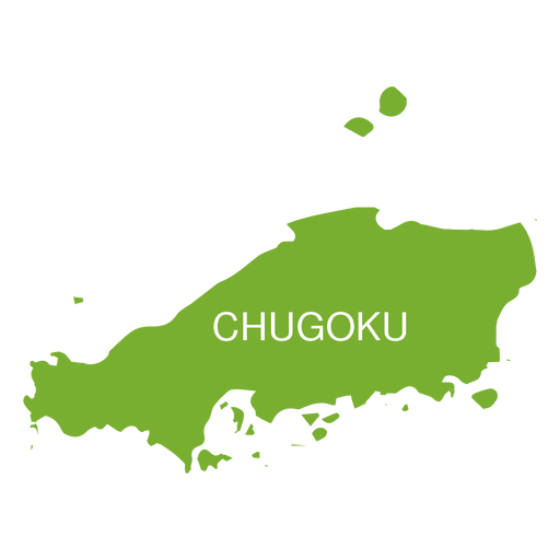
Mapa da região de Chugoku Desenho PNG
Escolha uma pasta
Todos os favoritos
Criar novo
Salvar
Mapa da região de Chugoku Desenho PNG
Premium
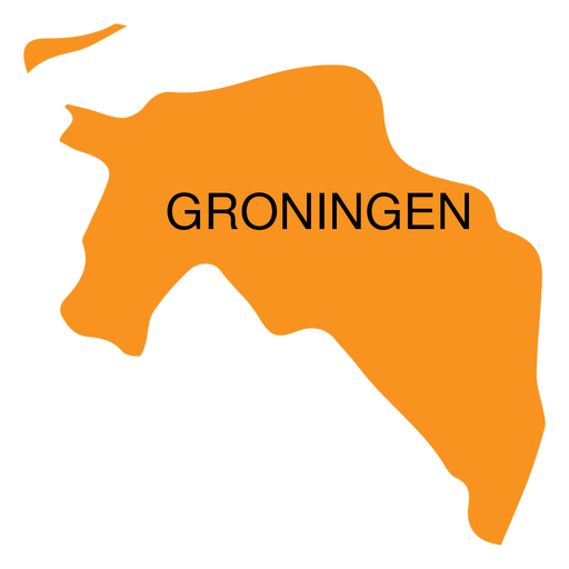
Mapa da província de Groningen Desenho PNG
Escolha uma pasta
Todos os favoritos
Criar novo
Salvar
Mapa da província de Groningen Desenho PNG
Premium
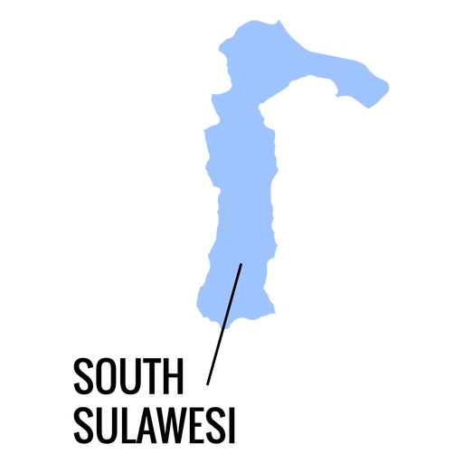
Mapa da província de Sulawesi do Sul Desenho PNG
Escolha uma pasta
Todos os favoritos
Criar novo
Salvar
Mapa da província de Sulawesi do Sul Desenho PNG
Premium
Mapa da mandala da Guatemala Desenho PNG
Escolha uma pasta
Todos os favoritos
Criar novo
Salvar
Mapa da mandala da Guatemala Desenho PNG
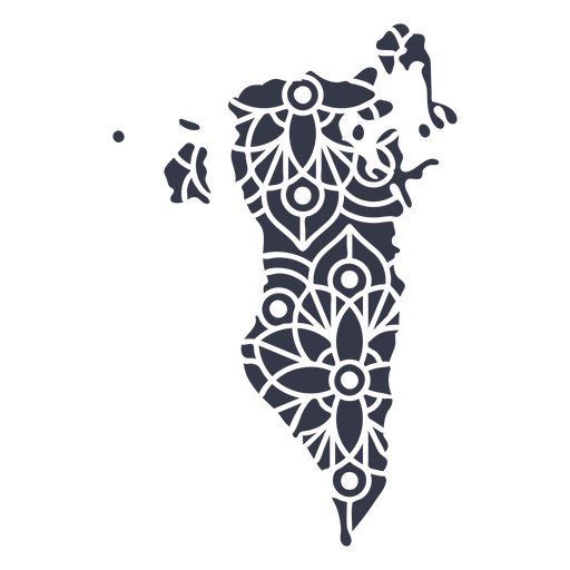
Mapa Mandala Bahrein Desenho PNG
Escolha uma pasta
Todos os favoritos
Criar novo
Salvar
Mapa Mandala Bahrein Desenho PNG
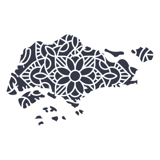
Mapa da Mandala Singapura Desenho PNG
Escolha uma pasta
Todos os favoritos
Criar novo
Salvar
Mapa da Mandala Singapura Desenho PNG
Mapa da Mandala Turquia Desenho PNG
Escolha uma pasta
Todos os favoritos
Criar novo
Salvar
Mapa da Mandala Turquia Desenho PNG
Mapa da Mandala da Dinamarca Desenho PNG
Escolha uma pasta
Todos os favoritos
Criar novo
Salvar
Mapa da Mandala da Dinamarca Desenho PNG
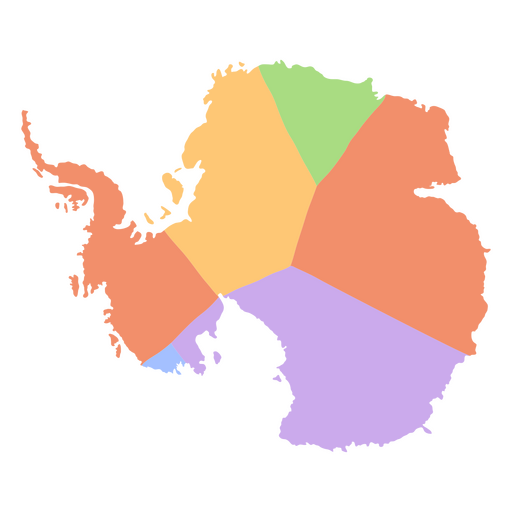
Mapa dos continentes planos da Antártida Desenho PNG
Escolha uma pasta
Todos os favoritos
Criar novo
Salvar
Mapa dos continentes planos da Antártida Desenho PNG
Curso de mandala de silhueta de mapa de Coreia do Sul Desenho PNG
Escolha uma pasta
Todos os favoritos
Criar novo
Salvar
Curso de mandala de silhueta de mapa de Coreia do Sul Desenho PNG
Ícone de traço do mapa Desenho PNG
Escolha uma pasta
Todos os favoritos
Criar novo
Salvar
Ícone de traço do mapa Desenho PNG
Premium
Silhueta de mapa da Alemanha Desenho PNG
Escolha uma pasta
Todos os favoritos
Criar novo
Salvar
Silhueta de mapa da Alemanha Desenho PNG
Premium
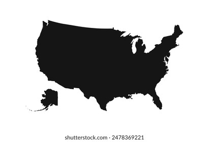
Mapa da silhueta dos EUA Desenho PNG
Escolha uma pasta
Todos os favoritos
Criar novo
Salvar
Mapa da silhueta dos EUA Desenho PNG
Premium
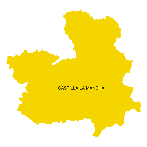
Mapa da comunidade autônoma de Castilla la mancha Desenho PNG
Escolha uma pasta
Todos os favoritos
Criar novo
Salvar
Mapa da comunidade autônoma de Castilla la mancha Desenho PNG
Premium
Mapa da região de Friuli venezia giulia Desenho PNG
Escolha uma pasta
Todos os favoritos
Criar novo
Salvar
Mapa da região de Friuli venezia giulia Desenho PNG
Premium
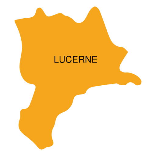
Mapa do cantão de lucerna Desenho PNG
Escolha uma pasta
Todos os favoritos
Criar novo
Salvar
Mapa do cantão de lucerna Desenho PNG
Premium
Mapa da província de Maluku Desenho PNG
Escolha uma pasta
Todos os favoritos
Criar novo
Salvar
Mapa da província de Maluku Desenho PNG
Premium
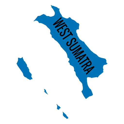
Mapa da província de Sumatra Ocidental Desenho PNG
Escolha uma pasta
Todos os favoritos
Criar novo
Salvar
Mapa da província de Sumatra Ocidental Desenho PNG
Uma silhueta do mapa de Israel Desenho PNG
Escolha uma pasta
Todos os favoritos
Criar novo
Salvar
Uma silhueta do mapa de Israel Desenho PNG
Uma silhueta do mapa do Equador Desenho PNG
Escolha uma pasta
Todos os favoritos
Criar novo
Salvar
Uma silhueta do mapa do Equador Desenho PNG
Mapa de traçado de mandala da Austrália Desenho PNG
Escolha uma pasta
Todos os favoritos
Criar novo
Salvar
Mapa de traçado de mandala da Austrália Desenho PNG
Mapa da Mandala da Noruega Desenho PNG
Escolha uma pasta
Todos os favoritos
Criar novo
Salvar
Mapa da Mandala da Noruega Desenho PNG
Mapa de Nova Jersey poligonal Desenho PNG
Escolha uma pasta
Todos os favoritos
Criar novo
Salvar
Mapa de Nova Jersey poligonal Desenho PNG
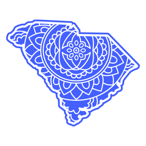
Mapa da Mandala da Carolina do Sul Desenho PNG
Escolha uma pasta
Todos os favoritos
Criar novo
Salvar
Mapa da Mandala da Carolina do Sul Desenho PNG
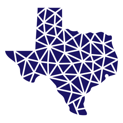
Mapa poligonal do estado do Texas Desenho PNG
Escolha uma pasta
Todos os favoritos
Criar novo
Salvar
Mapa poligonal do estado do Texas Desenho PNG
Mapa poligonal do estado de Ohio Desenho PNG
Escolha uma pasta
Todos os favoritos
Criar novo
Salvar
Mapa poligonal do estado de Ohio Desenho PNG
Mapa de traçado cheio de bandeira americana do estado do Mississippi Desenho PNG
Escolha uma pasta
Todos os favoritos
Criar novo
Salvar
Mapa de traçado cheio de bandeira americana do estado do Mississippi Desenho PNG
Premium
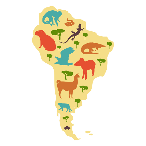
Mapa ilustrado da américa do sul Desenho PNG
Escolha uma pasta
Todos os favoritos
Criar novo
Salvar
Mapa ilustrado da américa do sul Desenho PNG
Premium
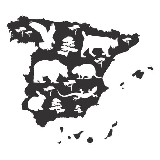
Silhueta do mapa da Espanha Desenho PNG
Escolha uma pasta
Todos os favoritos
Criar novo
Salvar
Silhueta do mapa da Espanha Desenho PNG
Premium
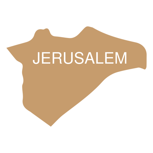
Mapa do distrito de Jerusalém Desenho PNG
Escolha uma pasta
Todos os favoritos
Criar novo
Salvar
Mapa do distrito de Jerusalém Desenho PNG
Premium
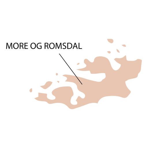
Mapa do condado de More og romsdal Desenho PNG
Escolha uma pasta
Todos os favoritos
Criar novo
Salvar
Mapa do condado de More og romsdal Desenho PNG
Premium
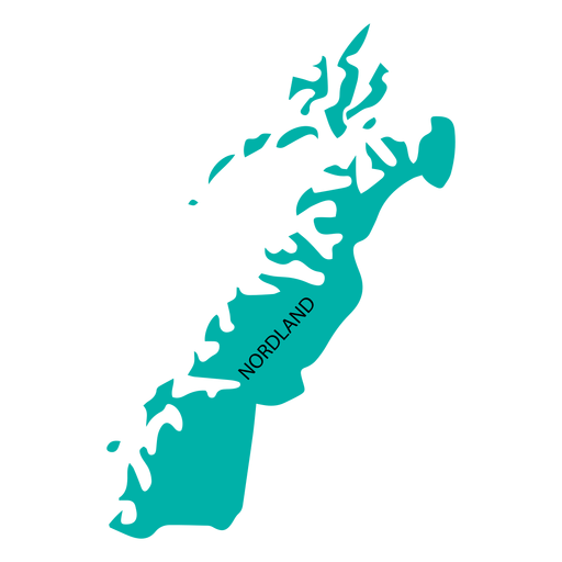
Mapa de condado de Nordland Desenho PNG
Escolha uma pasta
Todos os favoritos
Criar novo
Salvar
Mapa de condado de Nordland Desenho PNG
Impulsione seu negócio
Com a plataforma gráfica líder de mercado.
Ver planos
Próxima
do 39
prev page
next page