Biblioteca de design
Novos designs Merch
Camisetas
Vectores
Designs de Merch de Tendência
PNGs & SVGs
Mockups
Modelos de T-Shirt PSD
Explorar Desenhos
Designs KDP
Pôsteres
Canecas
Capas para celular
Sacos de compras
Almofadas
Ferramentas de desenho
Merch Designer
Novo!
Mockup Generator
Gerador de Design de AI
Vetorizador
Quote Generator
T-Shirt Maker (Antigo)
Ajuda
Merch Digest
Blog
Centro de Ajuda
Saiba mais sobre o Merch
Feedback
Soluções Corporativas
Empresa
Acesso à API
Estúdio de Design
Design em Lote
Preços
Carregando...
Inscrever-se
Conecte-se
All
maps
Biblioteca de design
Novos designs Merch
Camisetas
Vectores
Designs de Merch de Tendência
PNGs & SVGs
Mockups
Modelos de T-Shirt PSD
Explorar Desenhos
Designs KDP
Pôsteres
Canecas
Capas para celular
Sacos de compras
Almofadas
Ferramentas de desenho
Merch Designer
Novo!
Mockup Generator
Gerador de Design de AI
Vetorizador
Quote Generator
T-Shirt Maker (Antigo)
Ajuda
Merch Digest
Blog
Centro de Ajuda
Saiba mais sobre o Merch
Feedback
Soluções Corporativas
Empresa
Acesso à API
Estúdio de Design
Design em Lote
PLANOS
All
maps
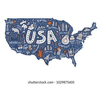
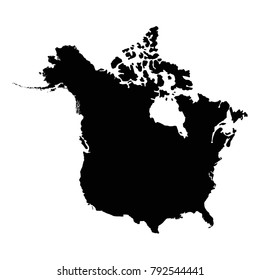
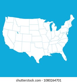
5265 Gráficos e Designs de maps para Camisetas e Merch print on demand
Baixar designs de camisetas e para merch, como capas de livro, capas de celular, tote bags e mais de maps
Relacionado:
mapas
,
mapas do mundo
,
mapas basicos
Ordenar por
Mais relevante
Resultados patrocinados da
Ganhe 15% de desconto com o código: VEXELS15
veja mais detalhes
Premium
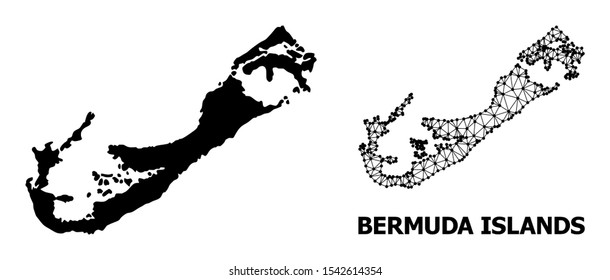
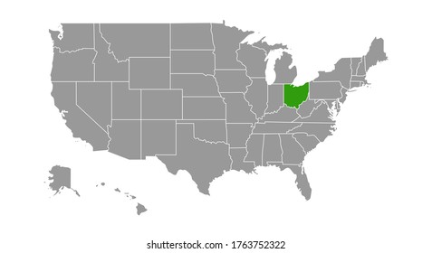
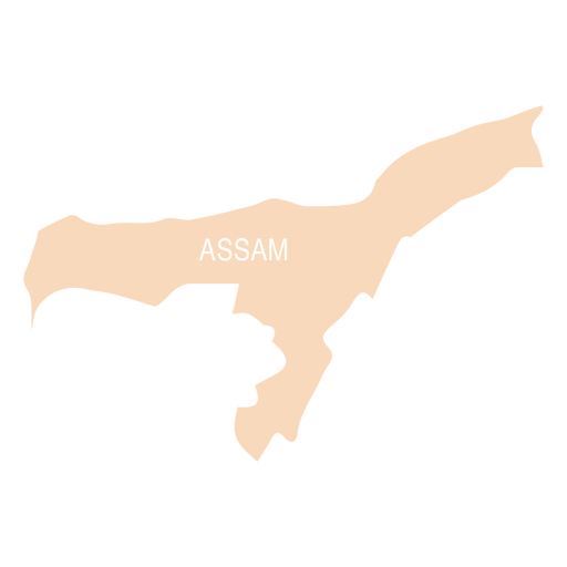
Mapa do estado de Assam Desenho PNG
Escolha uma pasta
Todos os favoritos
Criar novo
Salvar
Mapa do estado de Assam Desenho PNG
Premium
Bandeira do estado do Alabama Desenho PNG
Escolha uma pasta
Todos os favoritos
Criar novo
Salvar
Bandeira do estado do Alabama Desenho PNG
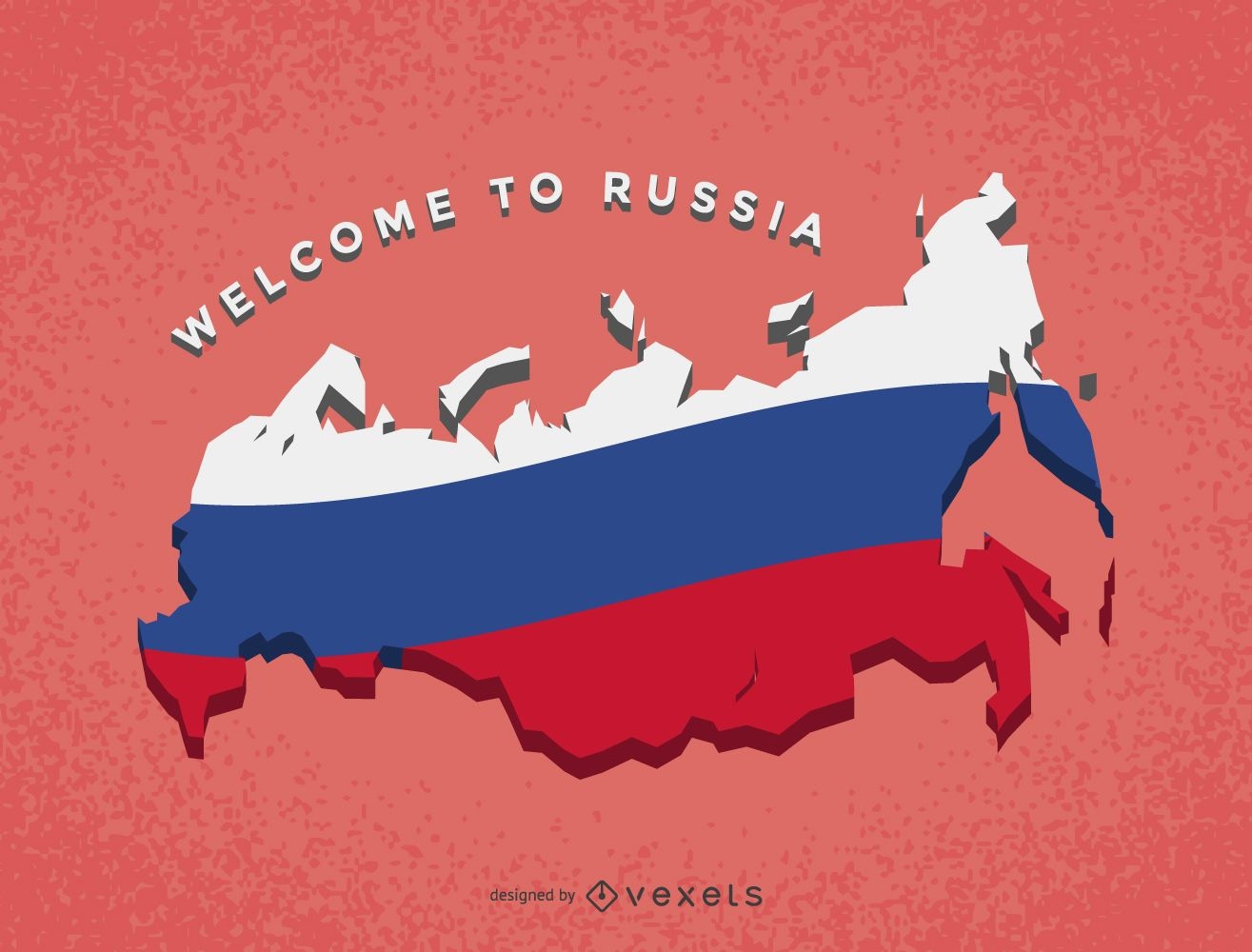
Mapa da Rússia com bandeira
Escolha uma pasta
Todos os favoritos
Criar novo
Salvar
Mapa da Rússia com bandeira
Premium
Bonsai verde Desenho PNG
Escolha uma pasta
Todos os favoritos
Criar novo
Salvar
Bonsai verde Desenho PNG
Premium
Emblema da bandeira da Suíça Desenho PNG
Escolha uma pasta
Todos os favoritos
Criar novo
Salvar
Emblema da bandeira da Suíça Desenho PNG
Premium
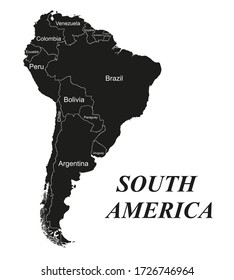
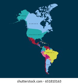
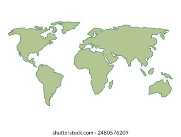
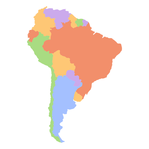
Mapa continental sul-americano Desenho PNG
Escolha uma pasta
Todos os favoritos
Criar novo
Salvar
Mapa continental sul-americano Desenho PNG
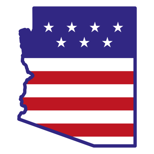
Estados de traçado de cor do Arizona Desenho PNG
Escolha uma pasta
Todos os favoritos
Criar novo
Salvar
Estados de traçado de cor do Arizona Desenho PNG
Mandala Monogramas Redemoinho feminino - 21 Desenho PNG
Escolha uma pasta
Todos os favoritos
Criar novo
Salvar
Mandala Monogramas Redemoinho feminino - 21 Desenho PNG
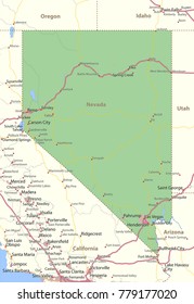
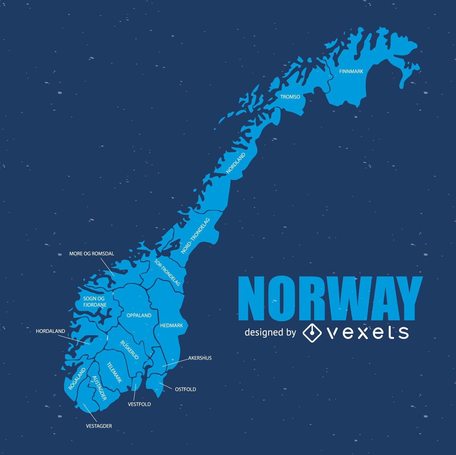
Mapa da noruega
Escolha uma pasta
Todos os favoritos
Criar novo
Salvar
Mapa da noruega
Premium
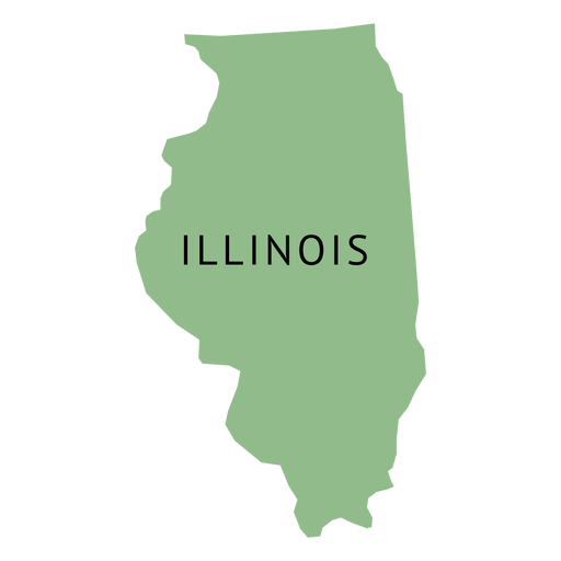
Mapa plano do estado illionois Desenho PNG
Escolha uma pasta
Todos os favoritos
Criar novo
Salvar
Mapa plano do estado illionois Desenho PNG
Premium
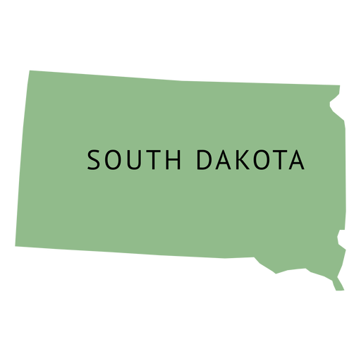
Mapa da planície do estado da Dakota do Sul Desenho PNG
Escolha uma pasta
Todos os favoritos
Criar novo
Salvar
Mapa da planície do estado da Dakota do Sul Desenho PNG
Premium
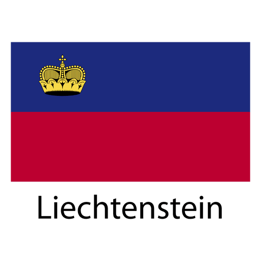
Bandeira nacional do Liechtenstein Desenho PNG
Escolha uma pasta
Todos os favoritos
Criar novo
Salvar
Bandeira nacional do Liechtenstein Desenho PNG
Premium
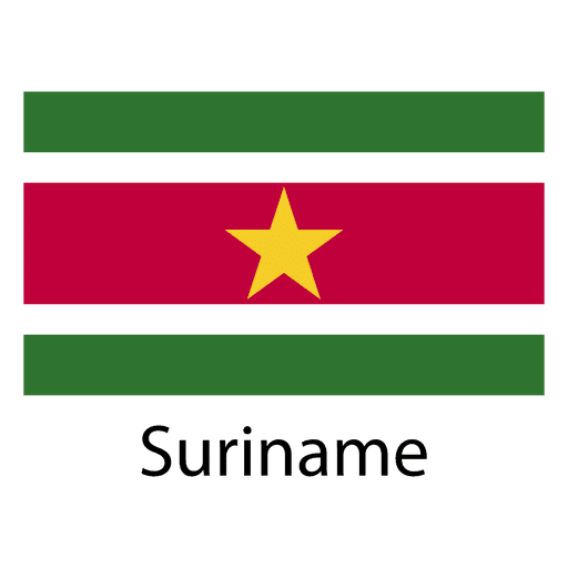
Bandeira nacional do Suriname Desenho PNG
Escolha uma pasta
Todos os favoritos
Criar novo
Salvar
Bandeira nacional do Suriname Desenho PNG
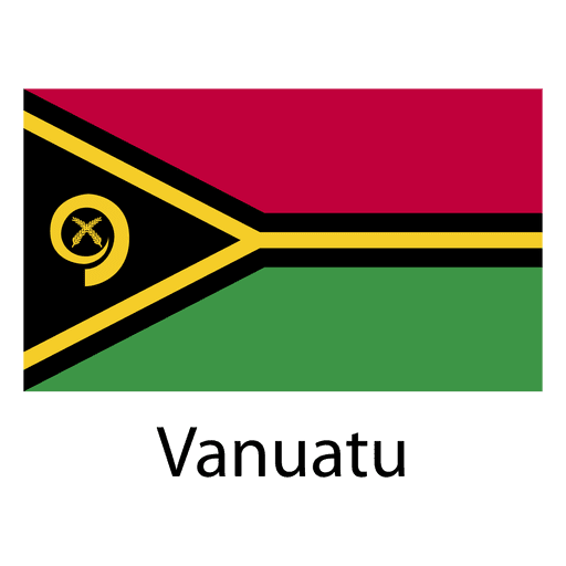
Premium
Bandeira nacional de Vanuatu Desenho PNG
Escolha uma pasta
Todos os favoritos
Criar novo
Salvar
Bandeira nacional de Vanuatu Desenho PNG
Mapa continental asiático Desenho PNG
Escolha uma pasta
Todos os favoritos
Criar novo
Salvar
Mapa continental asiático Desenho PNG
Mapa dos continentes planos da américa do sul Desenho PNG
Escolha uma pasta
Todos os favoritos
Criar novo
Salvar
Mapa dos continentes planos da américa do sul Desenho PNG
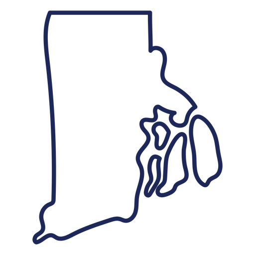
Mapa de acidentes vasculares cerebrais do estado de Rhode Island Desenho PNG
Escolha uma pasta
Todos os favoritos
Criar novo
Salvar
Mapa de acidentes vasculares cerebrais do estado de Rhode Island Desenho PNG
Tarot-Cards-Stroke-Vinyl - 20 Desenho PNG
Escolha uma pasta
Todos os favoritos
Criar novo
Salvar
Tarot-Cards-Stroke-Vinyl - 20 Desenho PNG
Premium
Crachá das filiais do time de vôlei Desenho PNG
Escolha uma pasta
Todos os favoritos
Criar novo
Salvar
Crachá das filiais do time de vôlei Desenho PNG
Premium
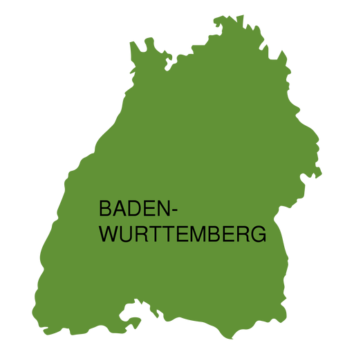
Mapa do estado de Baden-Wurttemberg Desenho PNG
Escolha uma pasta
Todos os favoritos
Criar novo
Salvar
Mapa do estado de Baden-Wurttemberg Desenho PNG
Premium
Baja california sur state map Desenho PNG
Escolha uma pasta
Todos os favoritos
Criar novo
Salvar
Baja california sur state map Desenho PNG
Premium
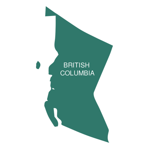
Mapa da província britânica da columbia Desenho PNG
Escolha uma pasta
Todos os favoritos
Criar novo
Salvar
Mapa da província britânica da columbia Desenho PNG
Premium
Mapa do estado da paraíba Desenho PNG
Escolha uma pasta
Todos os favoritos
Criar novo
Salvar
Mapa do estado da paraíba Desenho PNG
Premium
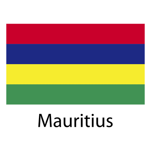
Bandeira nacional da Maurícia Desenho PNG
Escolha uma pasta
Todos os favoritos
Criar novo
Salvar
Bandeira nacional da Maurícia Desenho PNG
Premium
Desenho preto e branco de um livro Desenho PNG
Escolha uma pasta
Todos os favoritos
Criar novo
Salvar
Desenho preto e branco de um livro Desenho PNG
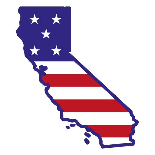
Estados de traçado de cor da Califórnia Desenho PNG
Escolha uma pasta
Todos os favoritos
Criar novo
Salvar
Estados de traçado de cor da Califórnia Desenho PNG
Silhueta de mapa de Iowa EUA Desenho PNG
Escolha uma pasta
Todos os favoritos
Criar novo
Salvar
Silhueta de mapa de Iowa EUA Desenho PNG
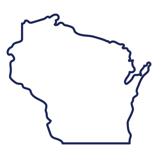
Mapa de acidente vascular cerebral do estado de Wisconsin Desenho PNG
Escolha uma pasta
Todos os favoritos
Criar novo
Salvar
Mapa de acidente vascular cerebral do estado de Wisconsin Desenho PNG
GarageOrganization-GardeningTools - 7 Desenho PNG
Escolha uma pasta
Todos os favoritos
Criar novo
Salvar
GarageOrganization-GardeningTools - 7 Desenho PNG
30-Cartas de Tarô-Vinil - 28 Desenho PNG
Escolha uma pasta
Todos os favoritos
Criar novo
Salvar
30-Cartas de Tarô-Vinil - 28 Desenho PNG
CrownsElements - 9 Desenho PNG
Escolha uma pasta
Todos os favoritos
Criar novo
Salvar
CrownsElements - 9 Desenho PNG
Doodle monocromático de casal Merengue dominicano Desenho PNG
Escolha uma pasta
Todos os favoritos
Criar novo
Salvar
Doodle monocromático de casal Merengue dominicano Desenho PNG
Premium
Ícone de traço terrestre Desenho PNG
Escolha uma pasta
Todos os favoritos
Criar novo
Salvar
Ícone de traço terrestre Desenho PNG
Premium
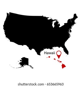
Bandeira do estado do Havaí Desenho PNG
Escolha uma pasta
Todos os favoritos
Criar novo
Salvar
Bandeira do estado do Havaí Desenho PNG
Premium
Ícone redondo da Terra Desenho PNG
Escolha uma pasta
Todos os favoritos
Criar novo
Salvar
Ícone redondo da Terra Desenho PNG
Premium
Emblema da bandeira do Equador Desenho PNG
Escolha uma pasta
Todos os favoritos
Criar novo
Salvar
Emblema da bandeira do Equador Desenho PNG
Premium
Salto de skate Rolando Desenho PNG
Escolha uma pasta
Todos os favoritos
Criar novo
Salvar
Salto de skate Rolando Desenho PNG
Premium
Bandeira nacional de cabo verde Desenho PNG
Escolha uma pasta
Todos os favoritos
Criar novo
Salvar
Bandeira nacional de cabo verde Desenho PNG
Premium
Bandeira nacional da Libéria Desenho PNG
Escolha uma pasta
Todos os favoritos
Criar novo
Salvar
Bandeira nacional da Libéria Desenho PNG
Dia internacional da paz
Escolha uma pasta
Todos os favoritos
Criar novo
Salvar
Dia internacional da paz
PLANETA AZUL CRISTAL
Escolha uma pasta
Todos os favoritos
Criar novo
Salvar
PLANETA AZUL CRISTAL
Silhueta do mapa de Connecticut EUA Desenho PNG
Escolha uma pasta
Todos os favoritos
Criar novo
Salvar
Silhueta do mapa de Connecticut EUA Desenho PNG
MentalHealth-brains-faltWashInkContourOverlay - 12 Desenho PNG
Escolha uma pasta
Todos os favoritos
Criar novo
Salvar
MentalHealth-brains-faltWashInkContourOverlay - 12 Desenho PNG
Símbolos do planeta do zodíaco Desenho PNG
Escolha uma pasta
Todos os favoritos
Criar novo
Salvar
Símbolos do planeta do zodíaco Desenho PNG
Ilustração do festival flores honduras Desenho PNG
Escolha uma pasta
Todos os favoritos
Criar novo
Salvar
Ilustração do festival flores honduras Desenho PNG
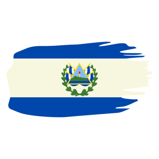
Desenho da bandeira em escova de El salvador Desenho PNG
Escolha uma pasta
Todos os favoritos
Criar novo
Salvar
Desenho da bandeira em escova de El salvador Desenho PNG
Premium
Ícone de coração da Terra Desenho PNG
Escolha uma pasta
Todos os favoritos
Criar novo
Salvar
Ícone de coração da Terra Desenho PNG
Premium
Ilustração do planeta terra Desenho PNG
Escolha uma pasta
Todos os favoritos
Criar novo
Salvar
Ilustração do planeta terra Desenho PNG
Premium
Bandeira do estado de Connecticut Desenho PNG
Escolha uma pasta
Todos os favoritos
Criar novo
Salvar
Bandeira do estado de Connecticut Desenho PNG
Premium
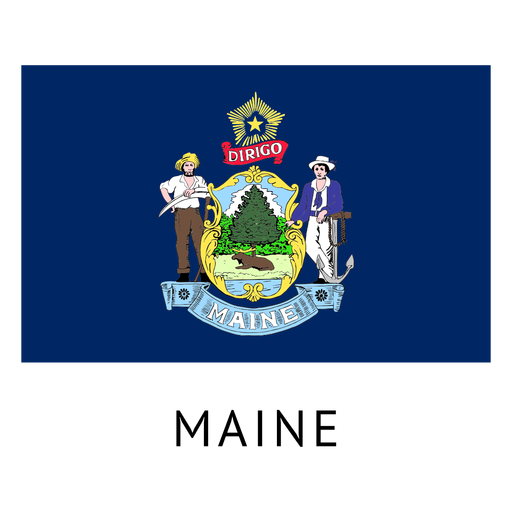
Bandeira do estado de Maine Desenho PNG
Escolha uma pasta
Todos os favoritos
Criar novo
Salvar
Bandeira do estado de Maine Desenho PNG
Impulsione seu negócio
Com a plataforma gráfica líder de mercado.
Ver planos
Próxima
do 106
prev page
next page