Biblioteca de design
Novos designs Merch
Camisetas
Vectores
Designs de Merch de Tendência
PNGs & SVGs
Mockups
Modelos de T-Shirt PSD
Explorar Desenhos
Designs KDP
Pôsteres
Canecas
Capas para celular
Sacos de compras
Almofadas
Ferramentas de desenho
Merch Designer
Novo!
Mockup Generator
Gerador de Design de AI
Vetorizador
Quote Generator
T-Shirt Maker (Antigo)
Ajuda
Merch Digest
Blog
Centro de Ajuda
Saiba mais sobre o Merch
Feedback
Soluções Corporativas
Empresa
Acesso à API
Estúdio de Design
Design em Lote
Preços
Carregando...
Inscrever-se
Conecte-se
All
region
Biblioteca de design
Novos designs Merch
Camisetas
Vectores
Designs de Merch de Tendência
PNGs & SVGs
Mockups
Modelos de T-Shirt PSD
Explorar Desenhos
Designs KDP
Pôsteres
Canecas
Capas para celular
Sacos de compras
Almofadas
Ferramentas de desenho
Merch Designer
Novo!
Mockup Generator
Gerador de Design de AI
Vetorizador
Quote Generator
T-Shirt Maker (Antigo)
Ajuda
Merch Digest
Blog
Centro de Ajuda
Saiba mais sobre o Merch
Feedback
Soluções Corporativas
Empresa
Acesso à API
Estúdio de Design
Design em Lote
PLANOS
All
region
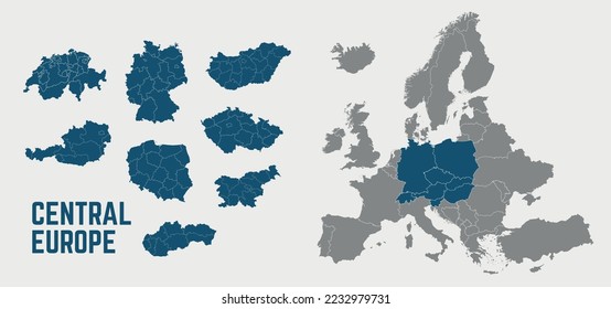
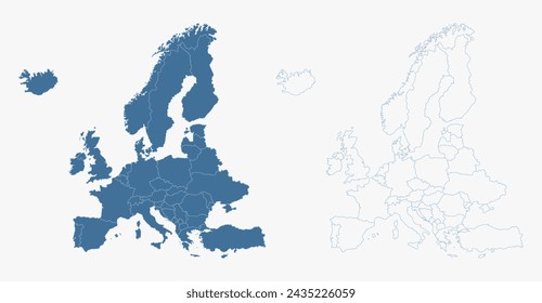
139 Gráficos e Designs de region para Camisetas e Merch print on demand
Baixar designs de camisetas e para merch, como capas de livro, capas de celular, tote bags e mais de region
Relacionado:
regional
,
esboço regional
,
simbolo regional
Ordenar por
Mais relevante
Resultados patrocinados da
Ganhe 15% de desconto com o código: VEXELS15
veja mais detalhes
Premium
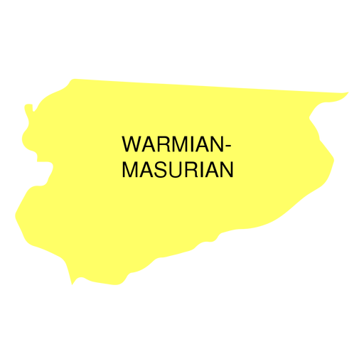
Mapa da voivodia da masúria da Vármia Desenho PNG
Escolha uma pasta
Todos os favoritos
Criar novo
Salvar
Mapa da voivodia da masúria da Vármia Desenho PNG
Premium
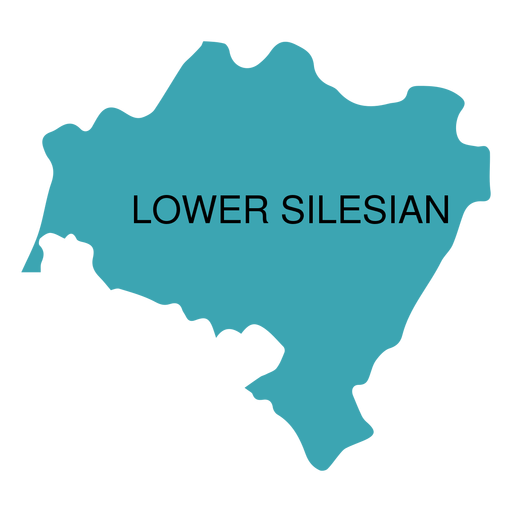
Mapa da voivodia da Baixa Silésia Desenho PNG
Escolha uma pasta
Todos os favoritos
Criar novo
Salvar
Mapa da voivodia da Baixa Silésia Desenho PNG
Gerado por IA, selecionado por nossos designers.
para Merch
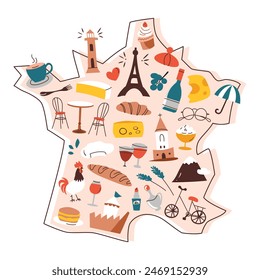
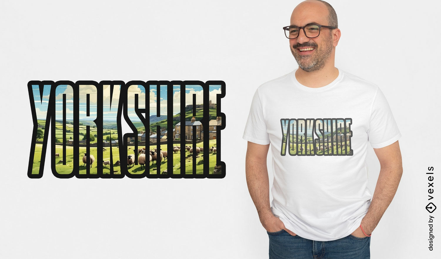
Design de camiseta com slogan de Yorkshire
Escolha uma pasta
Todos os favoritos
Criar novo
Salvar
Design de camiseta com slogan de Yorkshire
Premium
Silhueta estilizada do mapa da ilha de Hong Kong Desenho PNG
Escolha uma pasta
Todos os favoritos
Criar novo
Salvar
Silhueta estilizada do mapa da ilha de Hong Kong Desenho PNG
Premium
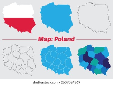
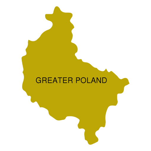
Mapa da voivodia da Grande Polónia Desenho PNG
Escolha uma pasta
Todos os favoritos
Criar novo
Salvar
Mapa da voivodia da Grande Polónia Desenho PNG
Premium
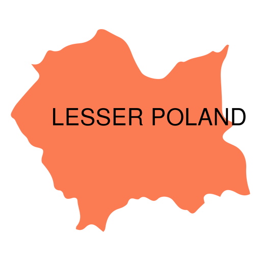
Mapa da voivodia da Polônia Menor Desenho PNG
Escolha uma pasta
Todos os favoritos
Criar novo
Salvar
Mapa da voivodia da Polônia Menor Desenho PNG
Premium
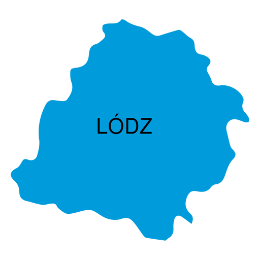
Mapa de voivodia de Lodz Desenho PNG
Escolha uma pasta
Todos os favoritos
Criar novo
Salvar
Mapa de voivodia de Lodz Desenho PNG
Premium
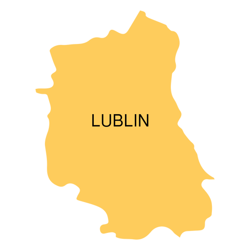
Mapa de voivodia de Lublin Desenho PNG
Escolha uma pasta
Todos os favoritos
Criar novo
Salvar
Mapa de voivodia de Lublin Desenho PNG
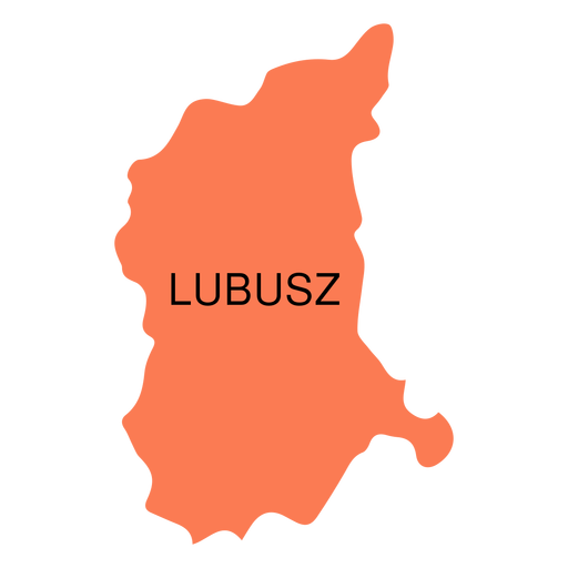
Premium
Mapa da voivodia de Lubusz Desenho PNG
Escolha uma pasta
Todos os favoritos
Criar novo
Salvar
Mapa da voivodia de Lubusz Desenho PNG
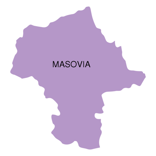
Premium
Mapa da voivodia de Masovia Desenho PNG
Escolha uma pasta
Todos os favoritos
Criar novo
Salvar
Mapa da voivodia de Masovia Desenho PNG
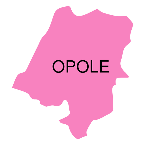
Premium
Mapa de voivodia de Opole Desenho PNG
Escolha uma pasta
Todos os favoritos
Criar novo
Salvar
Mapa de voivodia de Opole Desenho PNG
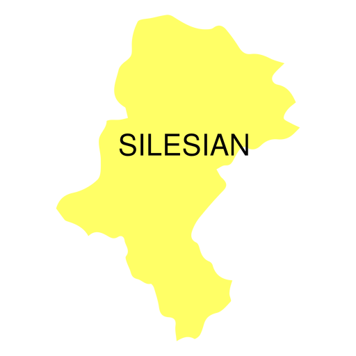
Premium
Mapa da voivodia da Silésia Desenho PNG
Escolha uma pasta
Todos os favoritos
Criar novo
Salvar
Mapa da voivodia da Silésia Desenho PNG
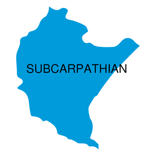
Premium
Mapa da voivodia subcarpática Desenho PNG
Escolha uma pasta
Todos os favoritos
Criar novo
Salvar
Mapa da voivodia subcarpática Desenho PNG
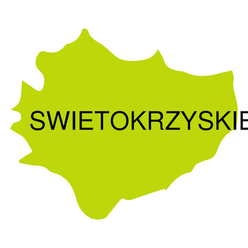
Premium
Mapa de voivodeship de Swietokrzyskie Desenho PNG
Escolha uma pasta
Todos os favoritos
Criar novo
Salvar
Mapa de voivodeship de Swietokrzyskie Desenho PNG
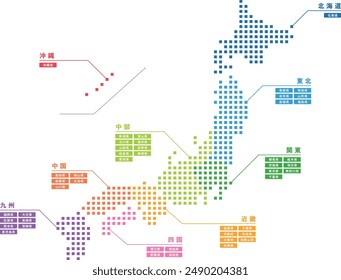
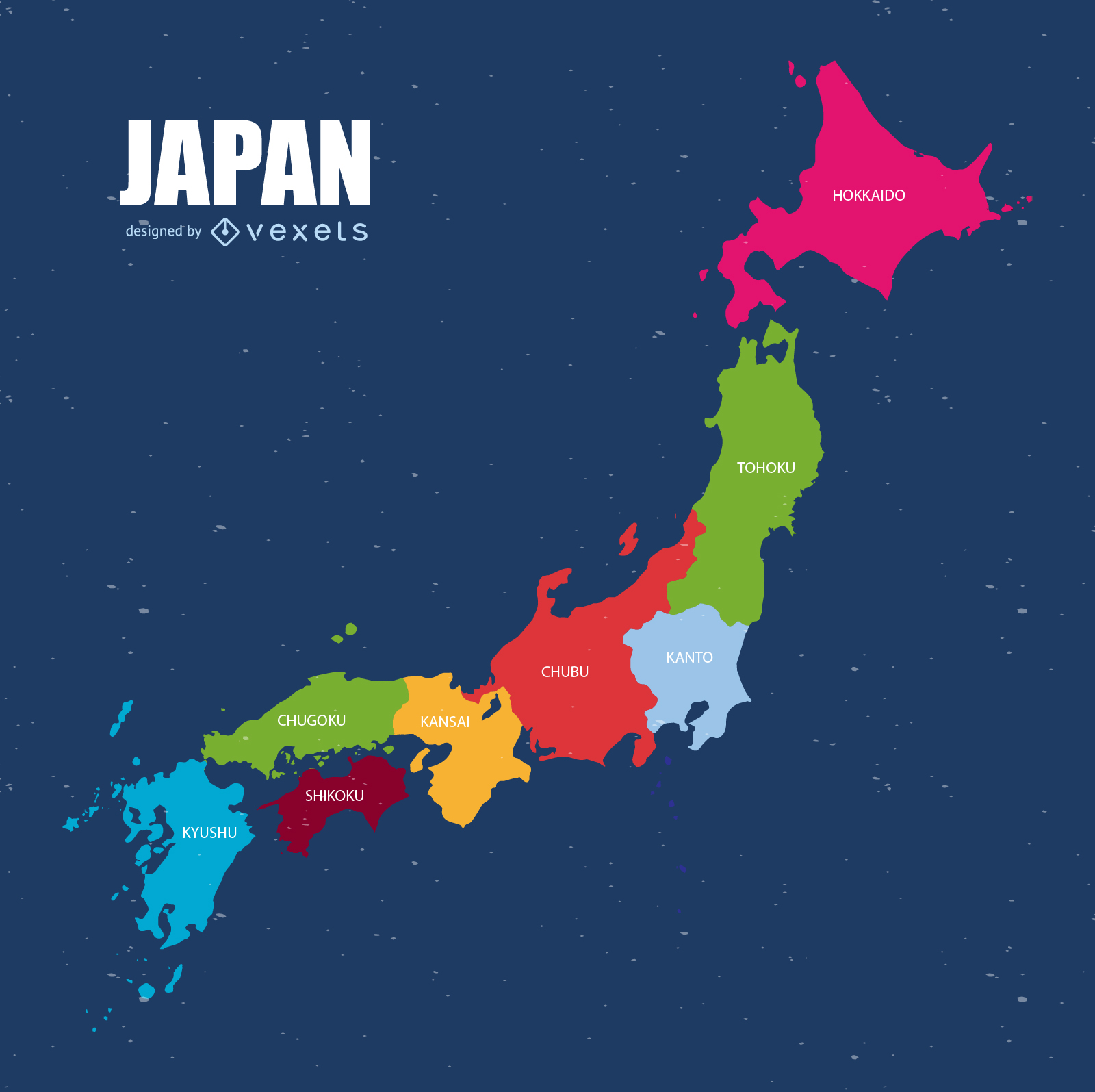
Vetor do mapa do Japão
Escolha uma pasta
Todos os favoritos
Criar novo
Salvar
Vetor do mapa do Japão
Premium
Design de rótulo de banana orgânica com inspiração vintage Desenho PNG
Escolha uma pasta
Todos os favoritos
Criar novo
Salvar
Design de rótulo de banana orgânica com inspiração vintage Desenho PNG
Premium
Silhueta estilizada do mapa da Irlanda do Norte Desenho PNG
Escolha uma pasta
Todos os favoritos
Criar novo
Salvar
Silhueta estilizada do mapa da Irlanda do Norte Desenho PNG
Premium
Silhueta estilizada do design do mapa da Escócia Desenho PNG
Escolha uma pasta
Todos os favoritos
Criar novo
Salvar
Silhueta estilizada do design do mapa da Escócia Desenho PNG
Premium
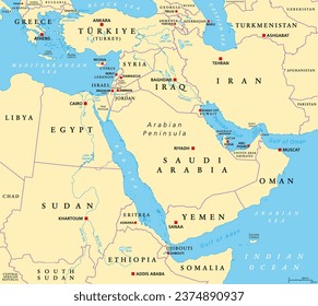
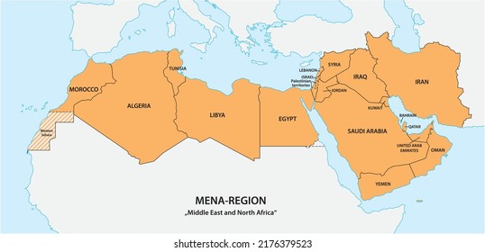
Silhueta estilizada do design do mapa do Iraque Desenho PNG
Escolha uma pasta
Todos os favoritos
Criar novo
Salvar
Silhueta estilizada do design do mapa do Iraque Desenho PNG
Premium
Design de rótulo de maçãs orgânicas em estilo vintage Desenho PNG
Escolha uma pasta
Todos os favoritos
Criar novo
Salvar
Design de rótulo de maçãs orgânicas em estilo vintage Desenho PNG
Premium
Design de rótulo vintage de abacate Desenho PNG
Escolha uma pasta
Todos os favoritos
Criar novo
Salvar
Design de rótulo vintage de abacate Desenho PNG
Premium
Design de rótulo de ingredientes orgânicos em estilo vintage Desenho PNG
Escolha uma pasta
Todos os favoritos
Criar novo
Salvar
Design de rótulo de ingredientes orgânicos em estilo vintage Desenho PNG
Premium
Design elegante de embalagem de amêndoa orgânica Desenho PNG
Escolha uma pasta
Todos os favoritos
Criar novo
Salvar
Design elegante de embalagem de amêndoa orgânica Desenho PNG
Premium
Design de rótulo vintage de alimentos orgânicos Desenho PNG
Escolha uma pasta
Todos os favoritos
Criar novo
Salvar
Design de rótulo vintage de alimentos orgânicos Desenho PNG
Premium
Design de rótulo de alimentos orgânicos em estilo vintage Desenho PNG
Escolha uma pasta
Todos os favoritos
Criar novo
Salvar
Design de rótulo de alimentos orgânicos em estilo vintage Desenho PNG
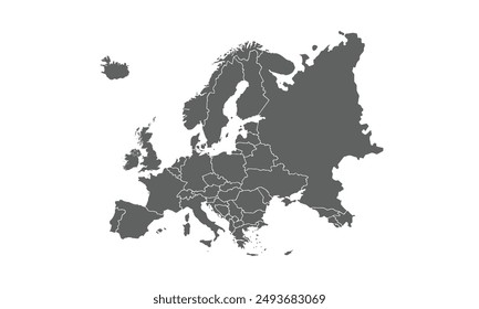
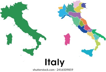
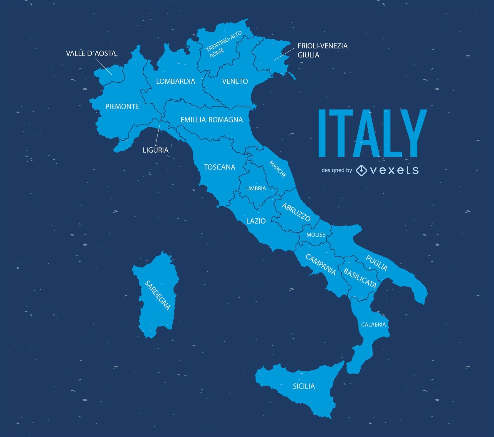
Mapa da Itália
Escolha uma pasta
Todos os favoritos
Criar novo
Salvar
Mapa da Itália
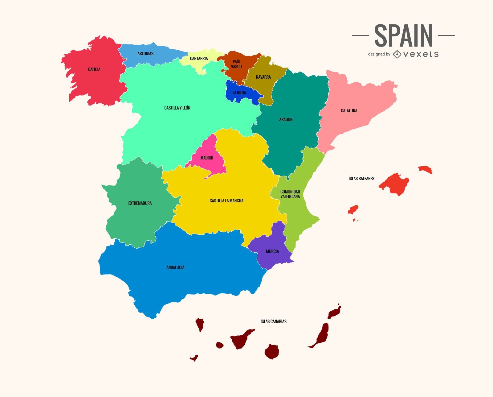
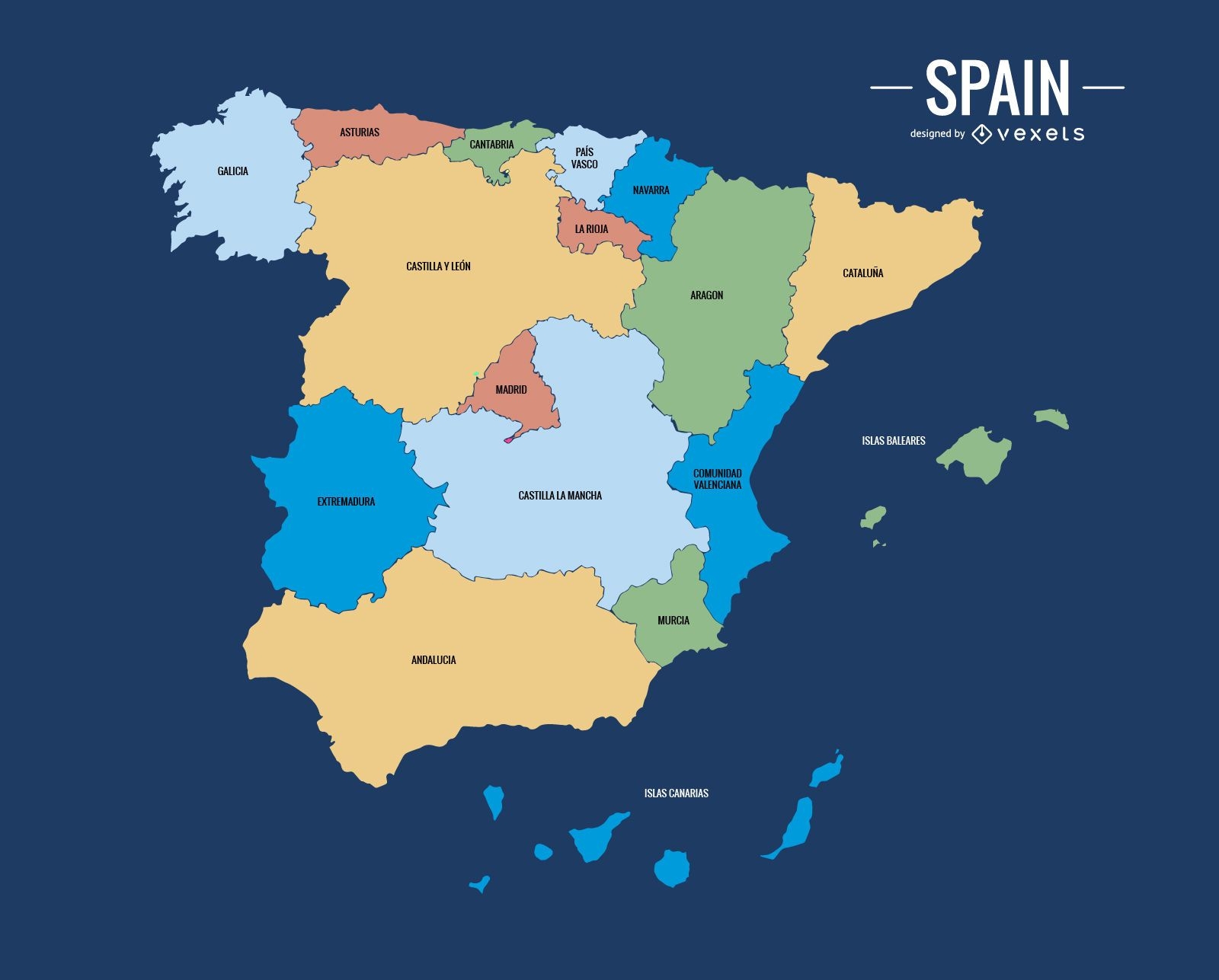
Mapa colorido da Espanha
Escolha uma pasta
Todos os favoritos
Criar novo
Salvar
Mapa colorido da Espanha
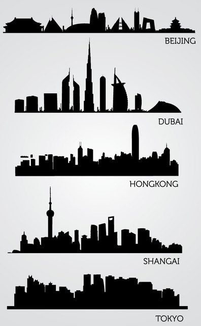
Silhuetas de horizonte asiático
Escolha uma pasta
Todos os favoritos
Criar novo
Salvar
Silhuetas de horizonte asiático
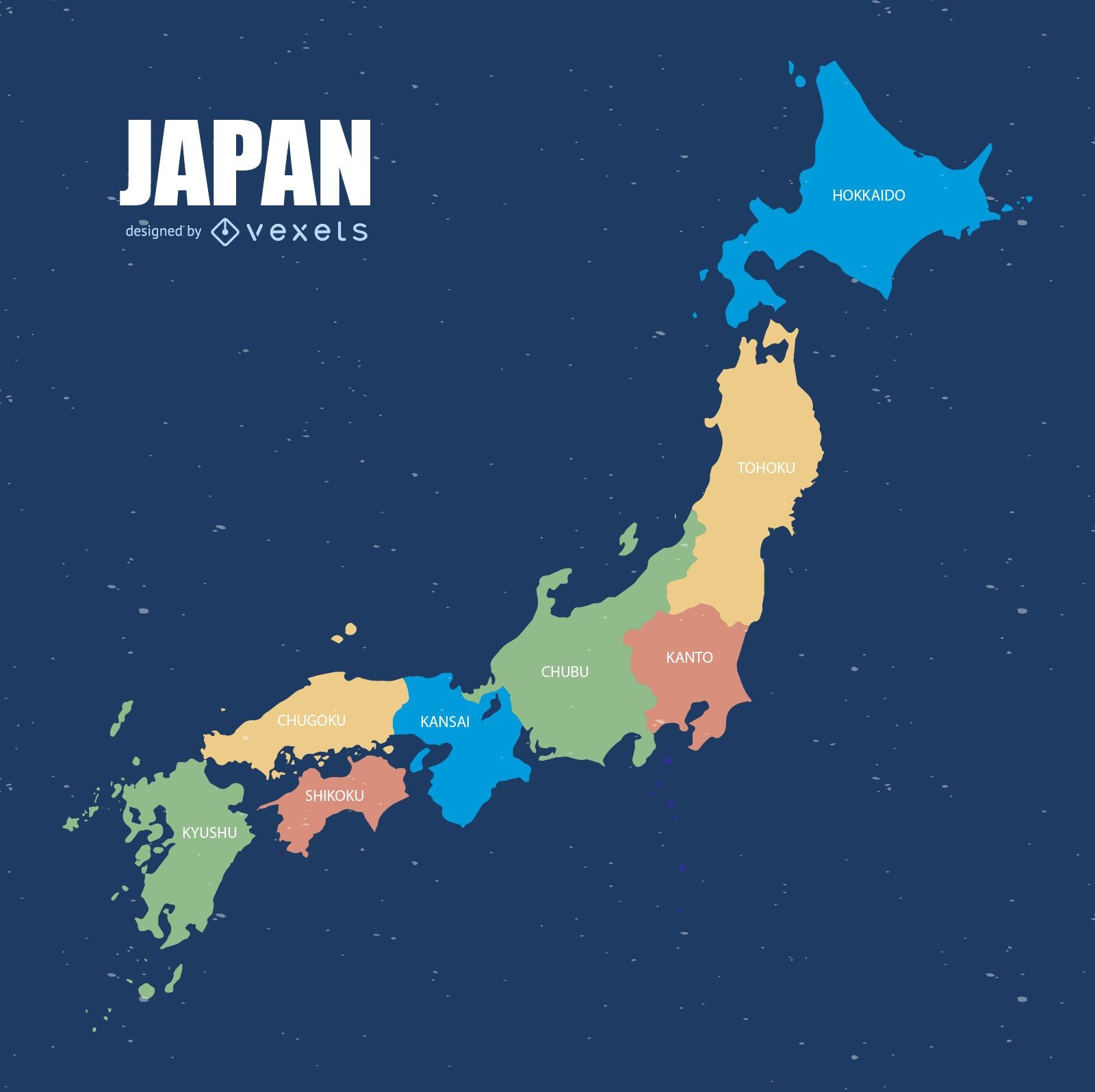
Mapa colorido do Japão
Escolha uma pasta
Todos os favoritos
Criar novo
Salvar
Mapa colorido do Japão
Ilustração do mapa da itália
Escolha uma pasta
Todos os favoritos
Criar novo
Salvar
Ilustração do mapa da itália
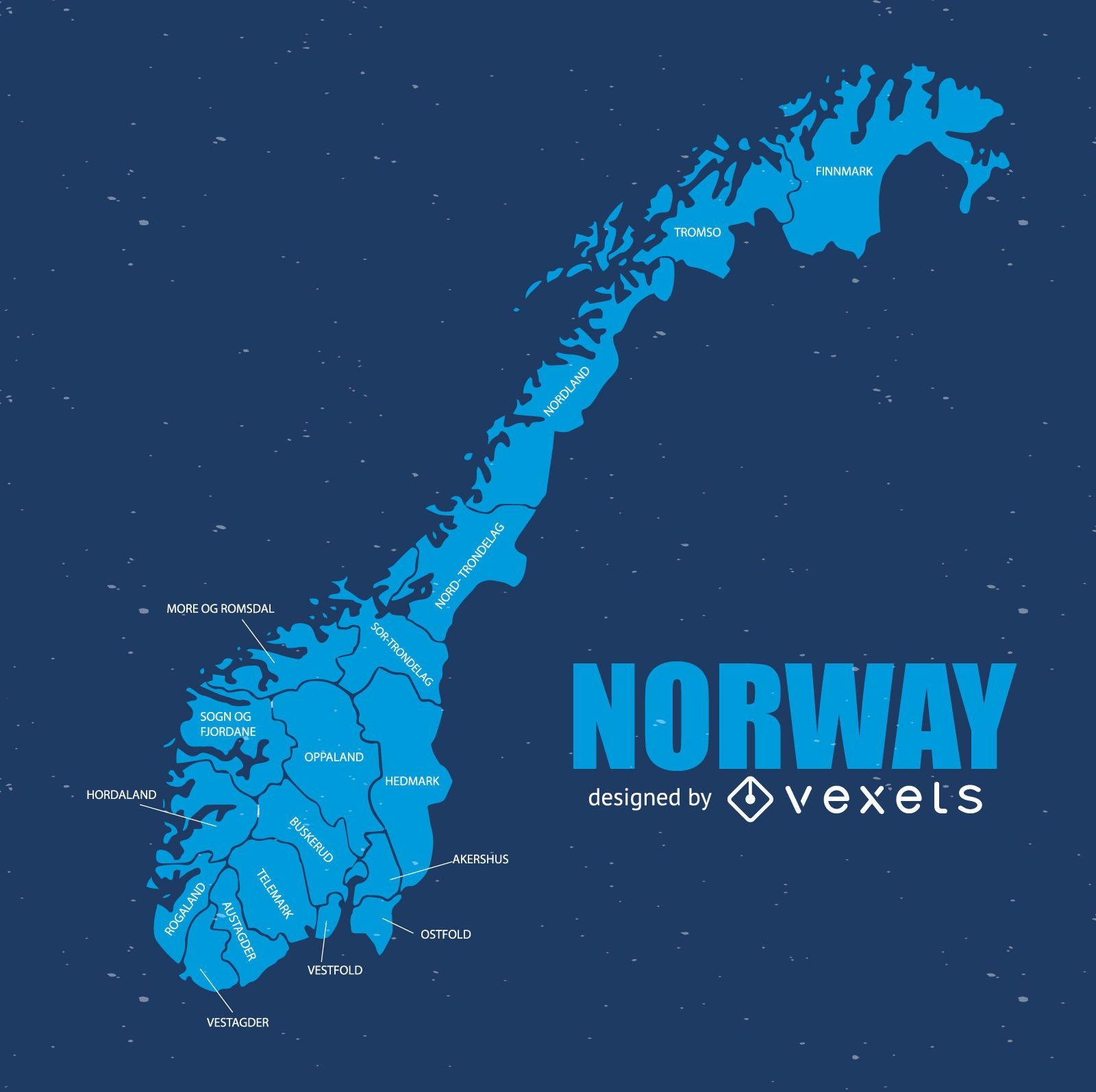
Mapa da noruega
Escolha uma pasta
Todos os favoritos
Criar novo
Salvar
Mapa da noruega
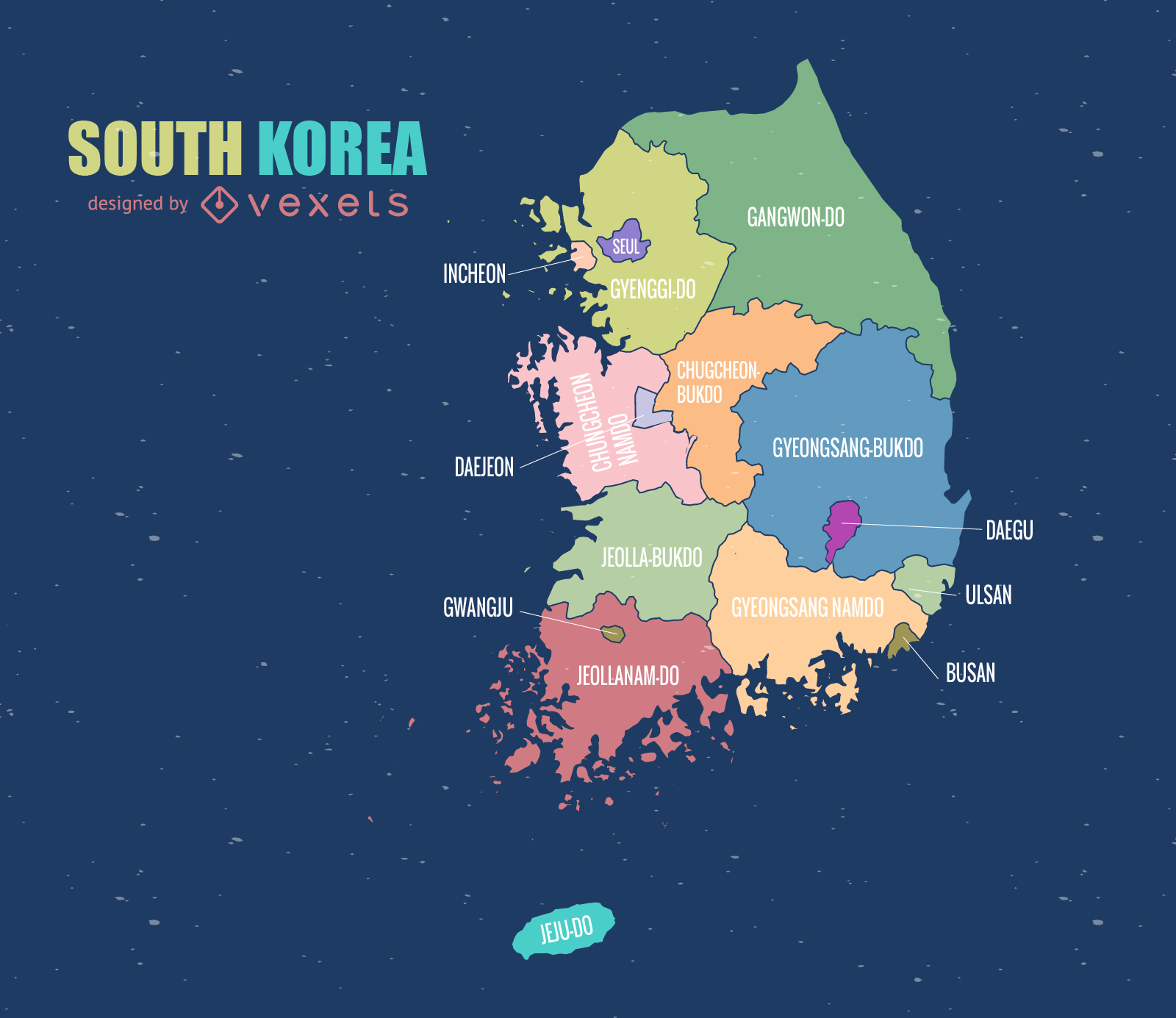
Mapa da Coreia do Sul
Escolha uma pasta
Todos os favoritos
Criar novo
Salvar
Mapa da Coreia do Sul
Mapa político da espanha
Escolha uma pasta
Todos os favoritos
Criar novo
Salvar
Mapa político da espanha
Pronto para imprimir
para Merch
Design de camiseta colorida capadócia
Escolha uma pasta
Todos os favoritos
Criar novo
Salvar
Design de camiseta colorida capadócia
Premium
O estado do Tennessee é mostrado Desenho PNG
Escolha uma pasta
Todos os favoritos
Criar novo
Salvar
O estado do Tennessee é mostrado Desenho PNG
Premium
Rótulo de melancia Desenho PNG
Escolha uma pasta
Todos os favoritos
Criar novo
Salvar
Rótulo de melancia Desenho PNG
Premium
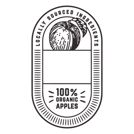
Etiqueta com logotipo para ingredientes de origem local Desenho PNG
Escolha uma pasta
Todos os favoritos
Criar novo
Salvar
Etiqueta com logotipo para ingredientes de origem local Desenho PNG
Premium
Rótulo verde para capim-limão orgânico Desenho PNG
Escolha uma pasta
Todos os favoritos
Criar novo
Salvar
Rótulo verde para capim-limão orgânico Desenho PNG
Premium
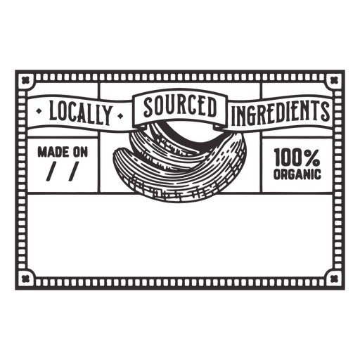
Etiqueta com as palavras ingredientes de origem local Desenho PNG
Escolha uma pasta
Todos os favoritos
Criar novo
Salvar
Etiqueta com as palavras ingredientes de origem local Desenho PNG
Impulsione seu negócio
Com a plataforma gráfica líder de mercado.
Ver planos
do 3
prev page
next page