Biblioteca de design
Novos designs Merch
Camisetas
Vectores
Designs de Merch de Tendência
PNGs & SVGs
Mockups
Modelos de T-Shirt PSD
Explorar Desenhos
Designs KDP
Pôsteres
Canecas
Capas para celular
Sacos de compras
Almofadas
Ferramentas de desenho
Merch Designer
Novo!
Mockup Generator
Gerador de Design de AI
Vetorizador
Quote Generator
T-Shirt Maker (Antigo)
Ajuda
Merch Digest
Blog
Centro de Ajuda
Saiba mais sobre o Merch
Feedback
Soluções Corporativas
Empresa
Acesso à API
Estúdio de Design
Design em Lote
Preços
Carregando...
Inscrever-se
Conecte-se
All
states
Biblioteca de design
Novos designs Merch
Camisetas
Vectores
Designs de Merch de Tendência
PNGs & SVGs
Mockups
Modelos de T-Shirt PSD
Explorar Desenhos
Designs KDP
Pôsteres
Canecas
Capas para celular
Sacos de compras
Almofadas
Ferramentas de desenho
Merch Designer
Novo!
Mockup Generator
Gerador de Design de AI
Vetorizador
Quote Generator
T-Shirt Maker (Antigo)
Ajuda
Merch Digest
Blog
Centro de Ajuda
Saiba mais sobre o Merch
Feedback
Soluções Corporativas
Empresa
Acesso à API
Estúdio de Design
Design em Lote
PLANOS
All
states
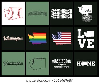
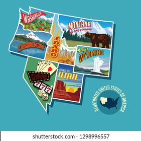
2438 Gráficos e Designs de states para Camisetas e Merch print on demand
Baixar designs de camisetas e para merch, como capas de livro, capas de celular, tote bags e mais de states
Relacionado:
estados unidos
,
estados
,
bandeira dos estados unidos
Ordenar por
Mais relevante
Resultados patrocinados da
Ganhe 15% de desconto com o código: VEXELS15
veja mais detalhes
Pronto para imprimir
para Merch
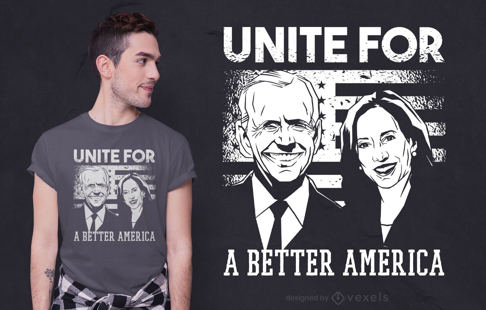
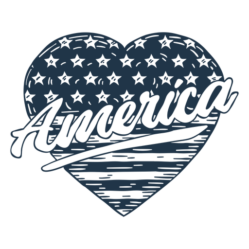
Um design melhor de camiseta america
Escolha uma pasta
Todos os favoritos
Criar novo
Salvar
Um design melhor de camiseta america
Pronto para imprimir
para Merch
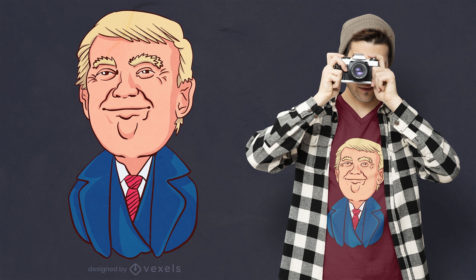
Design de t-shirt Happy Trump
Escolha uma pasta
Todos os favoritos
Criar novo
Salvar
Design de t-shirt Happy Trump
Premium
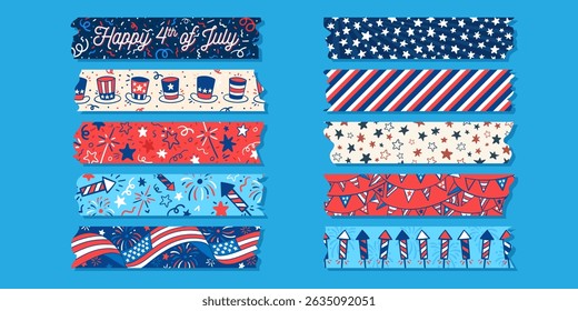
Conjunto de letras de 4 de julho
Escolha uma pasta
Todos os favoritos
Criar novo
Salvar
Conjunto de letras de 4 de julho
para Merch
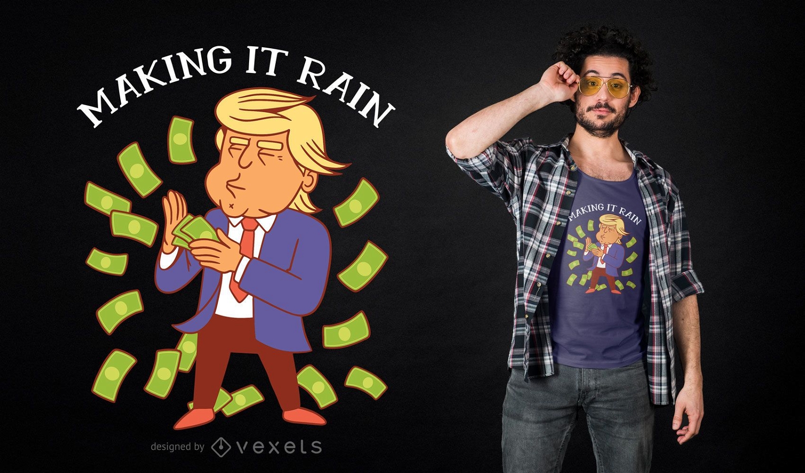
Trump Making Rain T-shirt Design
Escolha uma pasta
Todos os favoritos
Criar novo
Salvar
Trump Making Rain T-shirt Design
Pronto para imprimir
para Merch
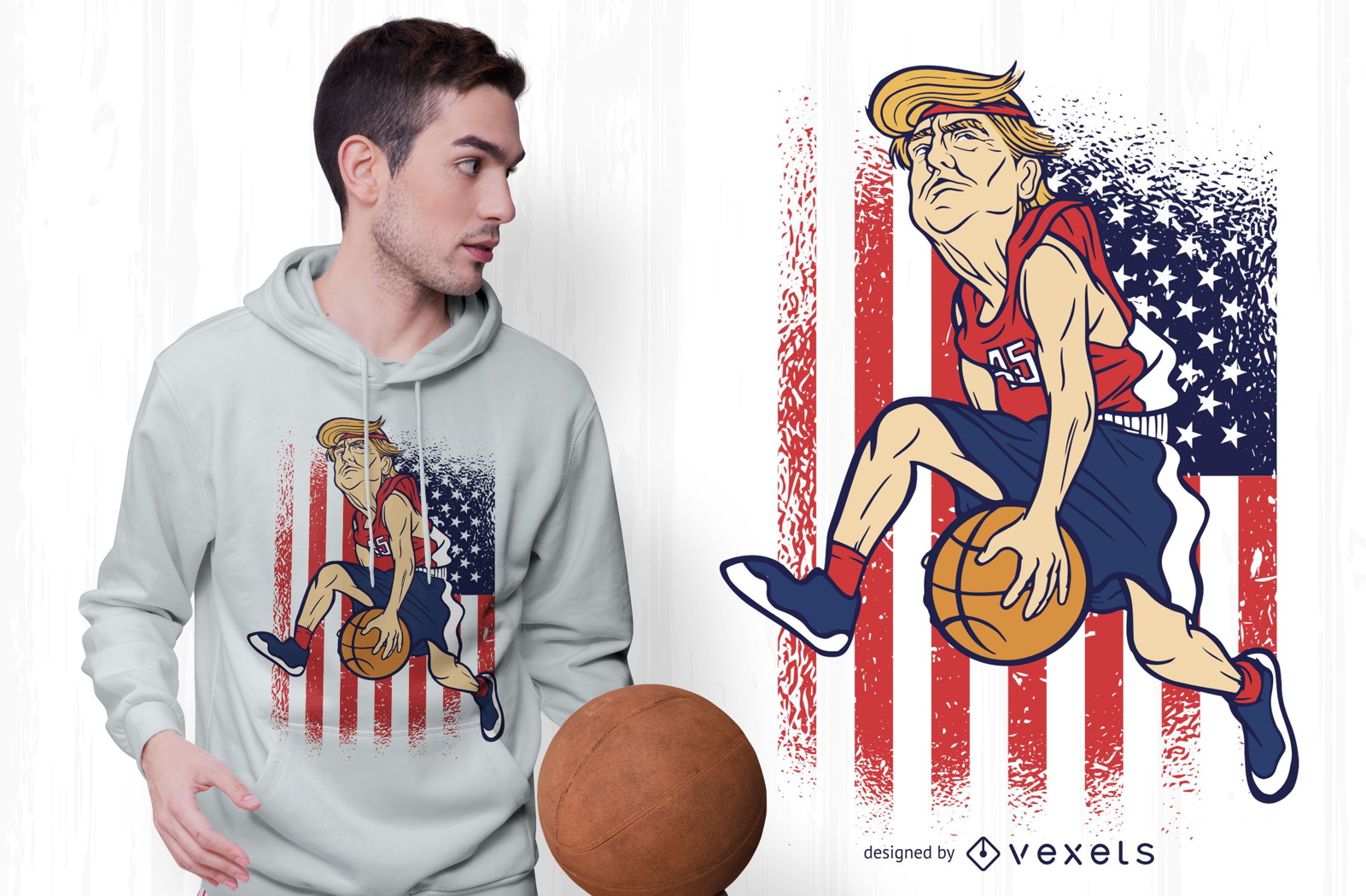
Design de camisetas Trump Basketball
Escolha uma pasta
Todos os favoritos
Criar novo
Salvar
Design de camisetas Trump Basketball
Elemento de fogos de artifício patriótico Desenho PNG
Escolha uma pasta
Todos os favoritos
Criar novo
Salvar
Elemento de fogos de artifício patriótico Desenho PNG
Pronto para imprimir
para Merch
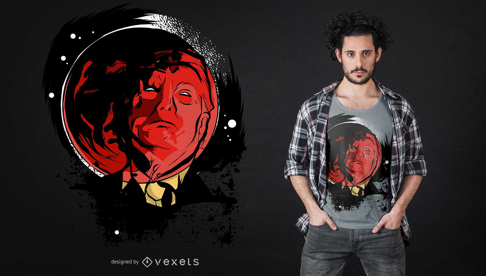
Design de camiseta Trump Eclipse
Escolha uma pasta
Todos os favoritos
Criar novo
Salvar
Design de camiseta Trump Eclipse
para Merch
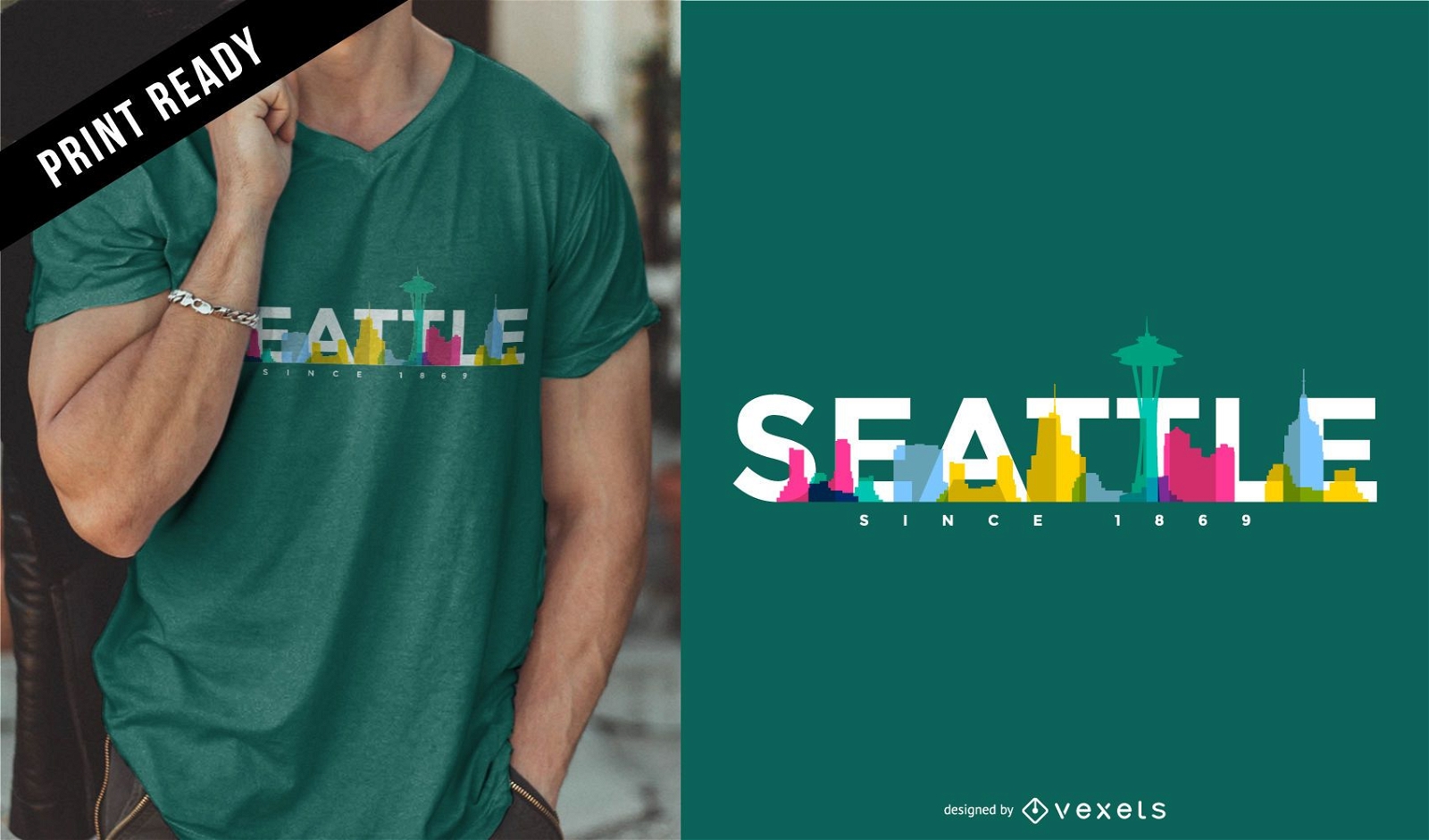
Design de camiseta do horizonte de Seattle
Escolha uma pasta
Todos os favoritos
Criar novo
Salvar
Design de camiseta do horizonte de Seattle
Premium
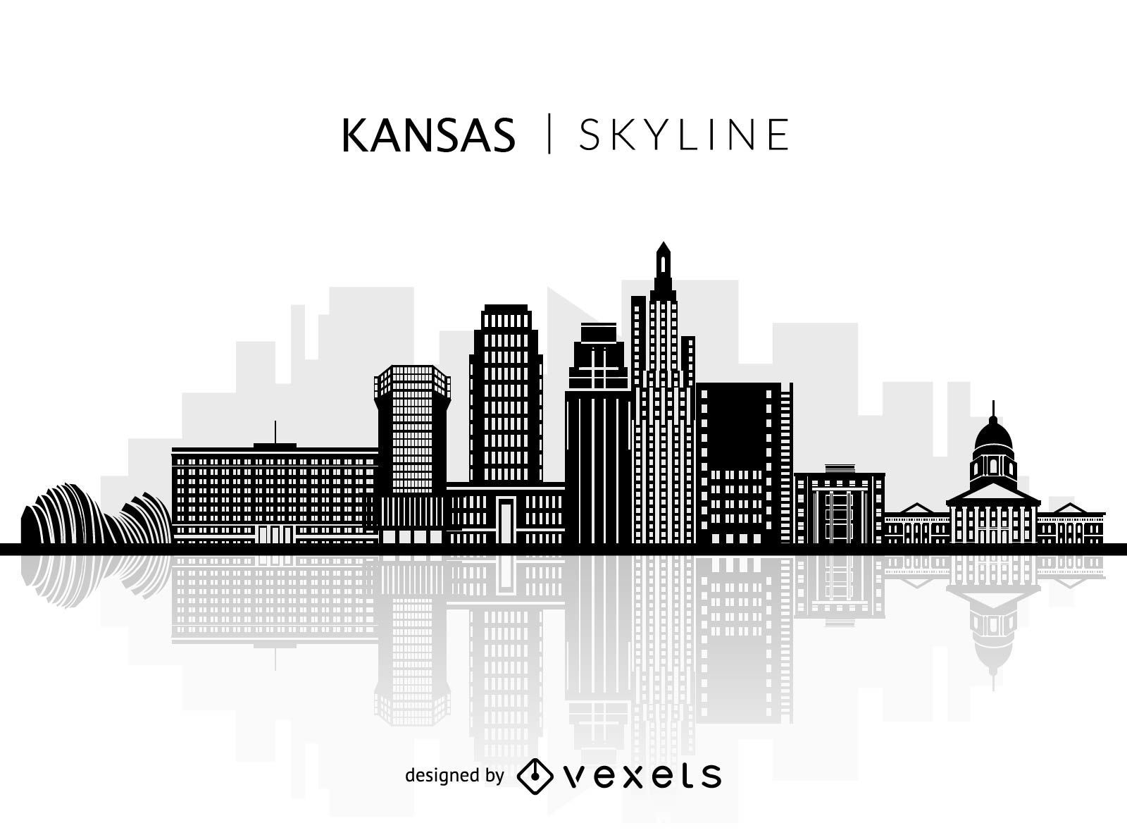
Silhueta do horizonte do Kansas
Escolha uma pasta
Todos os favoritos
Criar novo
Salvar
Silhueta do horizonte do Kansas
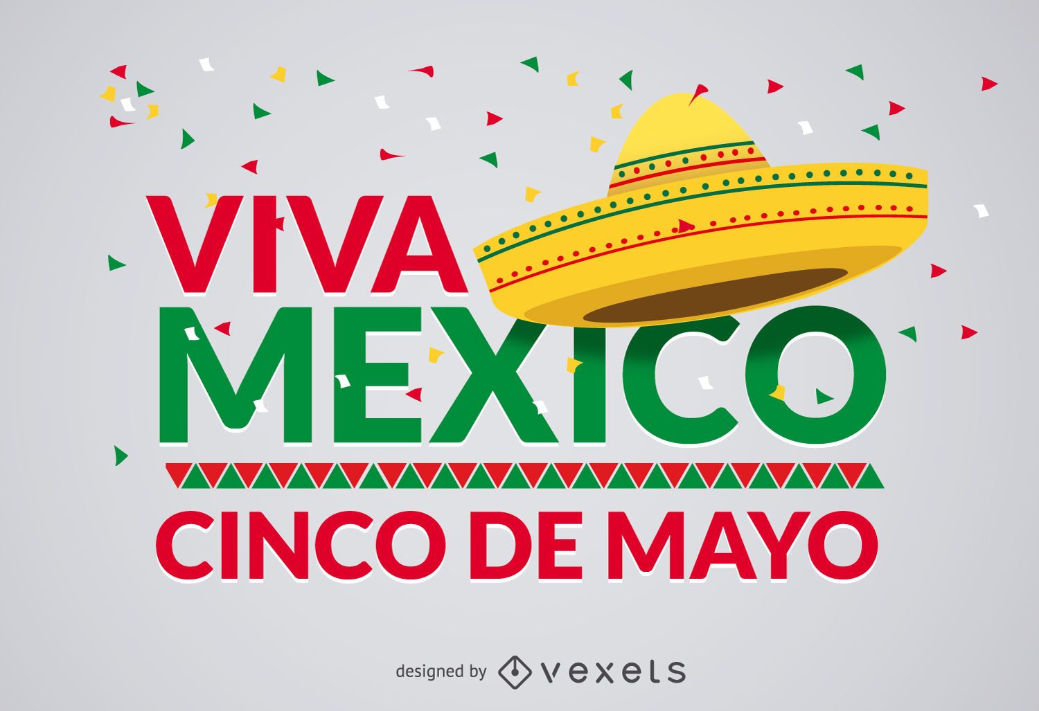
Projeto Cinco de Mayo Viva Mexico
Escolha uma pasta
Todos os favoritos
Criar novo
Salvar
Projeto Cinco de Mayo Viva Mexico
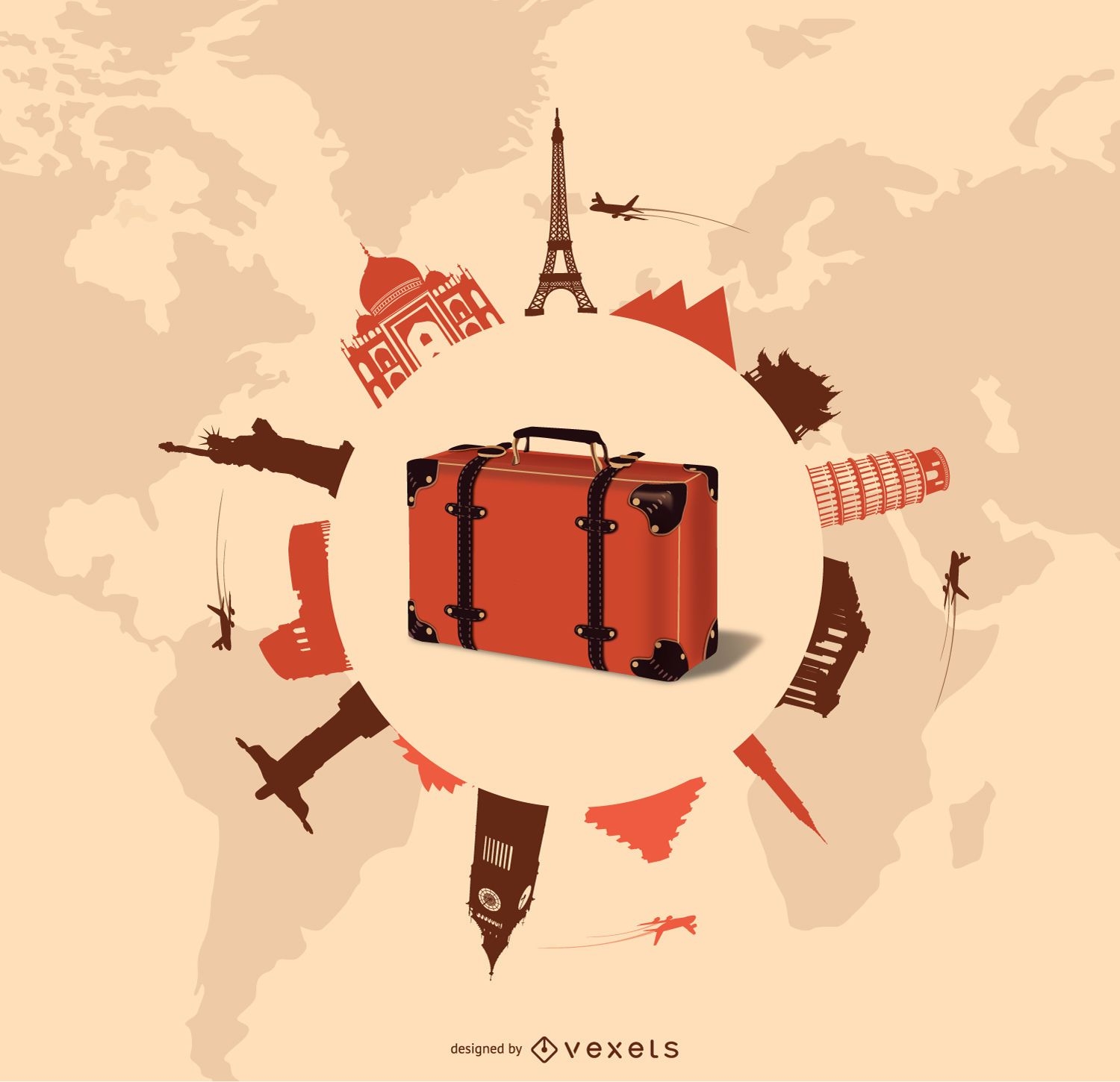
Design de viagens e turismo
Escolha uma pasta
Todos os favoritos
Criar novo
Salvar
Design de viagens e turismo
texto editável
Pronto para imprimir
para Merch
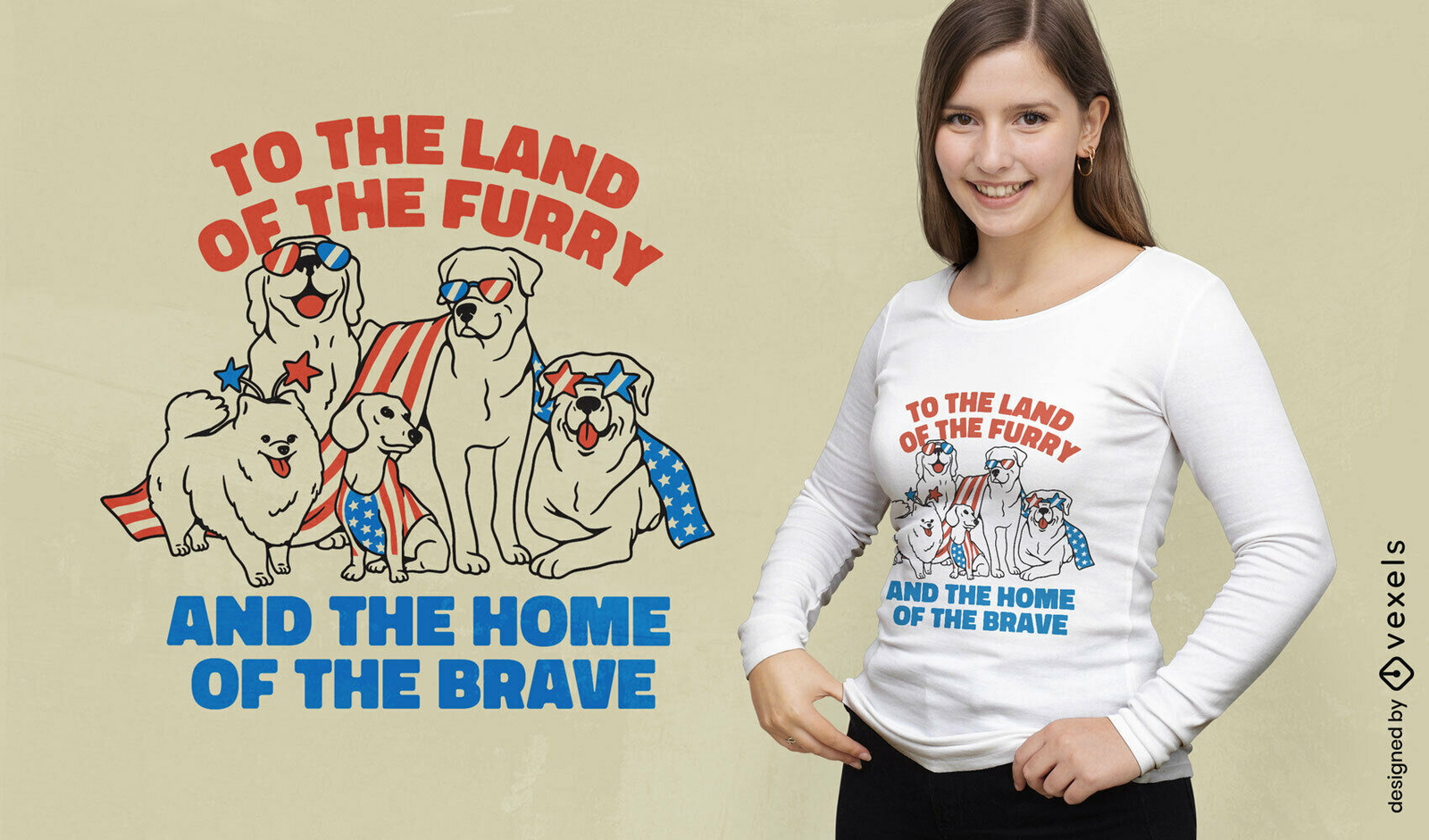
Design de camiseta de cães americanos patrióticos
Escolha uma pasta
Todos os favoritos
Criar novo
Salvar
Design de camiseta de cães americanos patrióticos
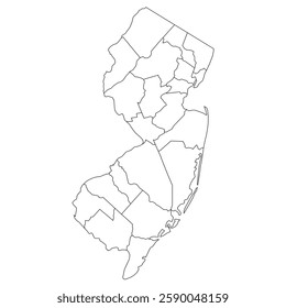
Silhueta do mapa de Connecticut EUA Desenho PNG
Escolha uma pasta
Todos os favoritos
Criar novo
Salvar
Silhueta do mapa de Connecticut EUA Desenho PNG
Silhueta do mapa dos EUA da Carolina do Sul Desenho PNG
Escolha uma pasta
Todos os favoritos
Criar novo
Salvar
Silhueta do mapa dos EUA da Carolina do Sul Desenho PNG
Premium
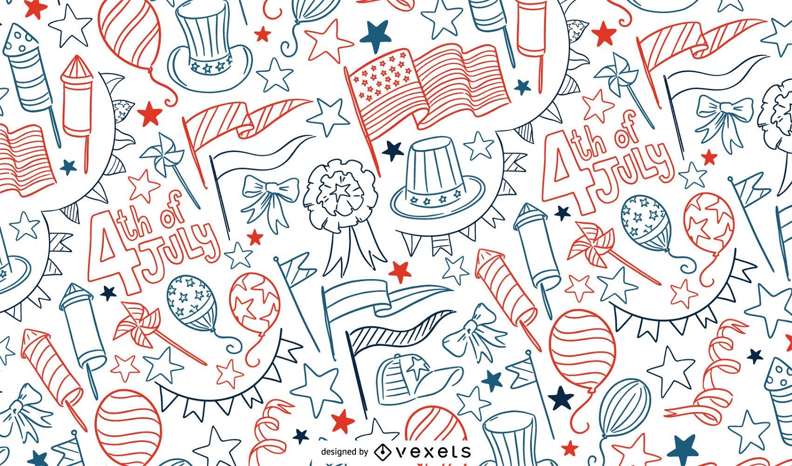
4 de julho desenho padrão de doodle
Escolha uma pasta
Todos os favoritos
Criar novo
Salvar
4 de julho desenho padrão de doodle
Pronto para imprimir
para Merch
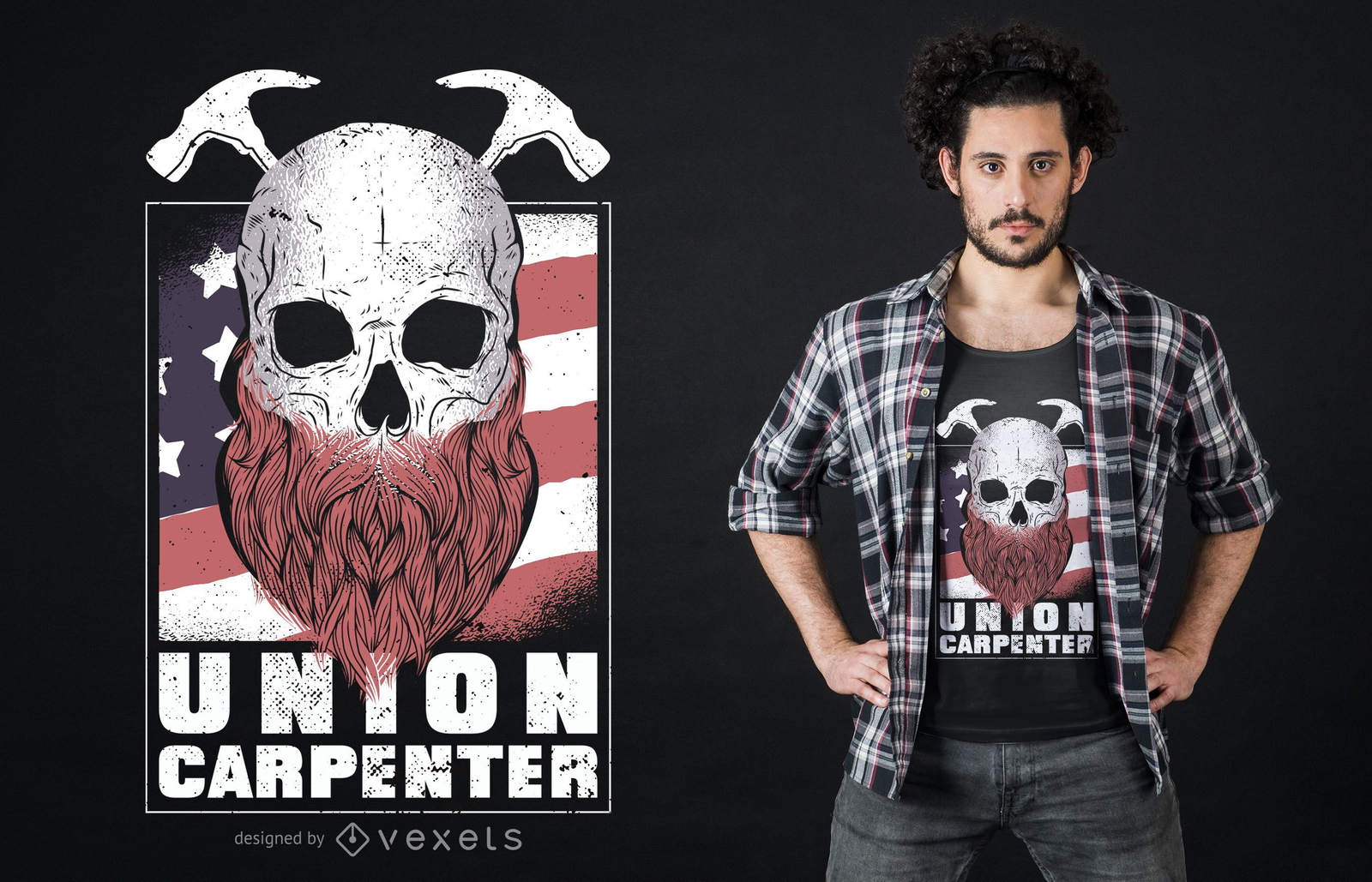
Design de camiseta do Union Carpenter
Escolha uma pasta
Todos os favoritos
Criar novo
Salvar
Design de camiseta do Union Carpenter
Premium
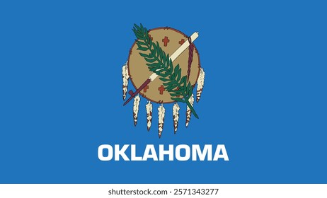
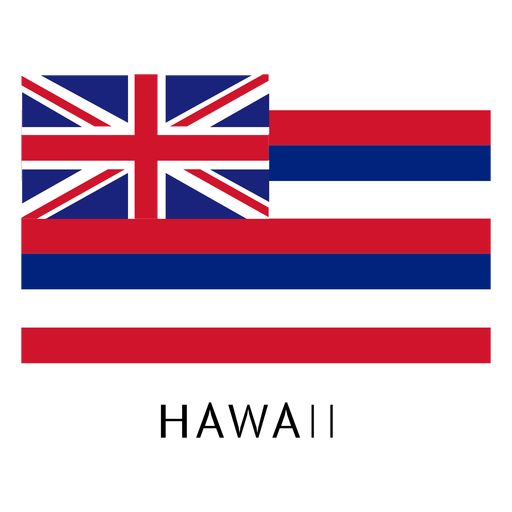
Bandeira do estado do Havaí Desenho PNG
Escolha uma pasta
Todos os favoritos
Criar novo
Salvar
Bandeira do estado do Havaí Desenho PNG
Premium
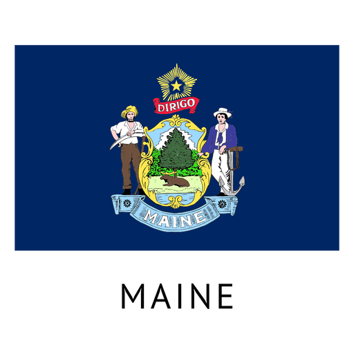
Bandeira do estado de Maine Desenho PNG
Escolha uma pasta
Todos os favoritos
Criar novo
Salvar
Bandeira do estado de Maine Desenho PNG
Pronto para imprimir
para Merch
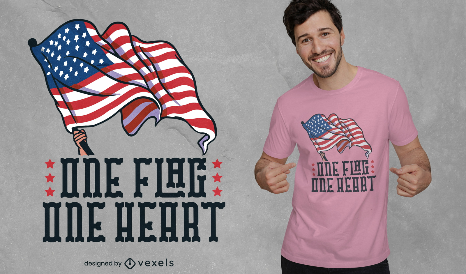
Design de t-shirt patriota de uma bandeira
Escolha uma pasta
Todos os favoritos
Criar novo
Salvar
Design de t-shirt patriota de uma bandeira
Pronto para imprimir
para Merch
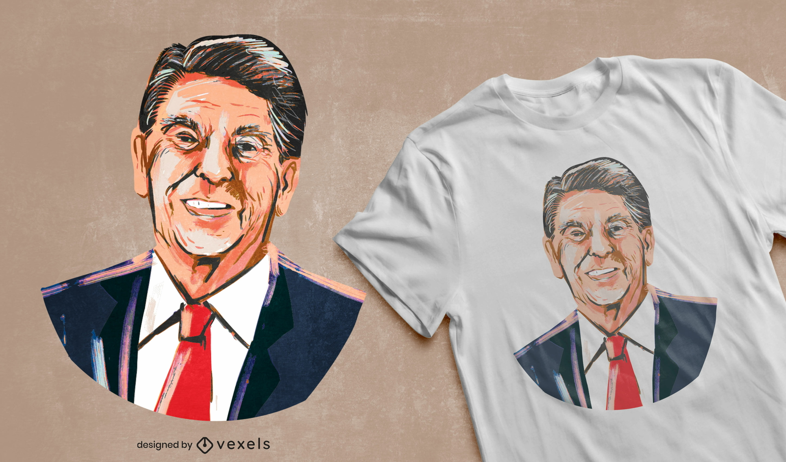
Design de t-shirt com ilustração de Ronald Reagan
Escolha uma pasta
Todos os favoritos
Criar novo
Salvar
Design de t-shirt com ilustração de Ronald Reagan
Pronto para imprimir
para Merch
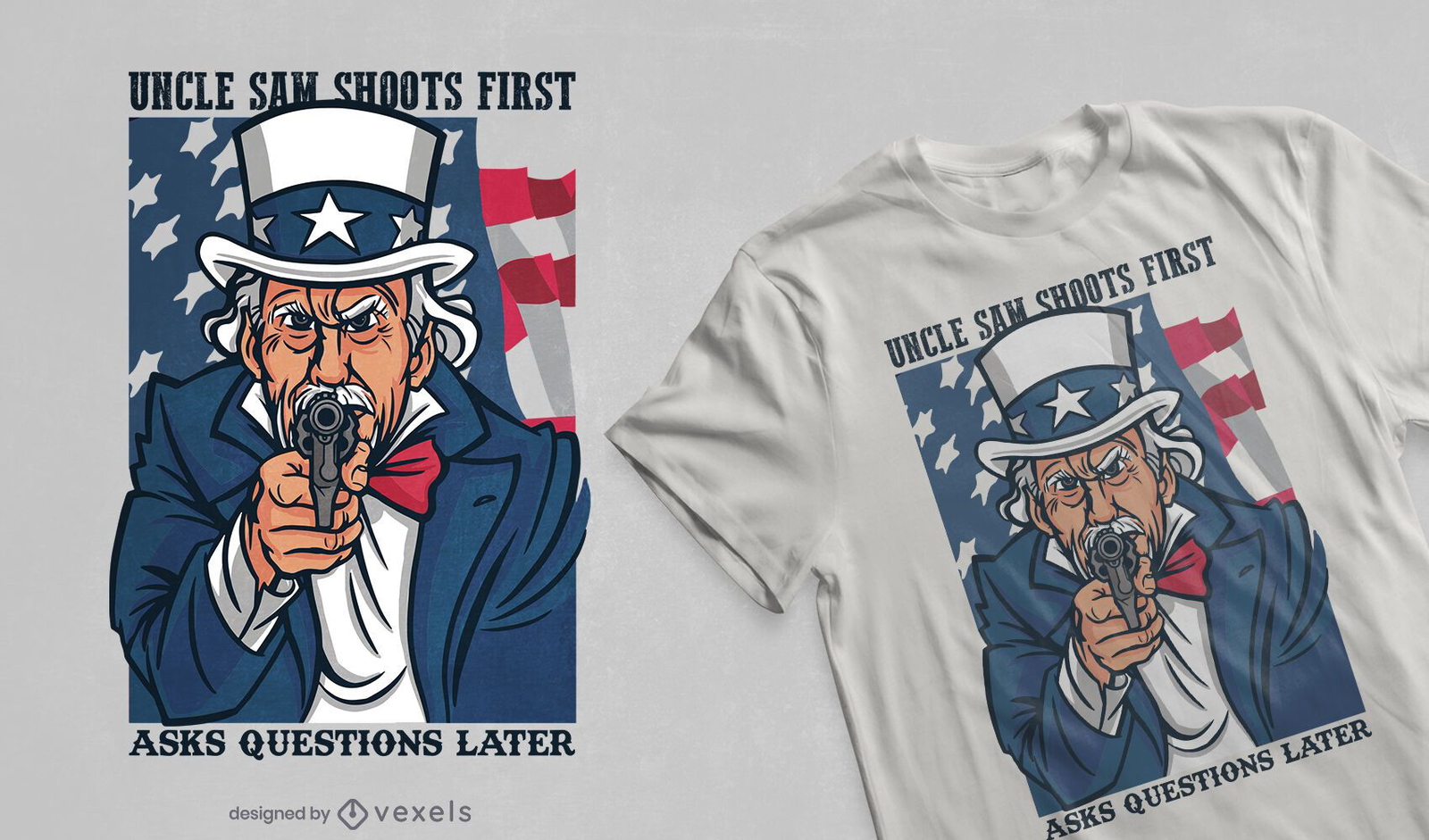
Tio Sam dispara design de camiseta
Escolha uma pasta
Todos os favoritos
Criar novo
Salvar
Tio Sam dispara design de camiseta
Pronto para imprimir
para Merch
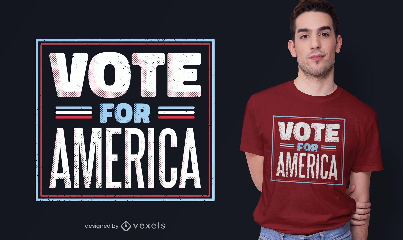
Vote no design de camisetas america
Escolha uma pasta
Todos os favoritos
Criar novo
Salvar
Vote no design de camisetas america
Pronto para imprimir
para Merch
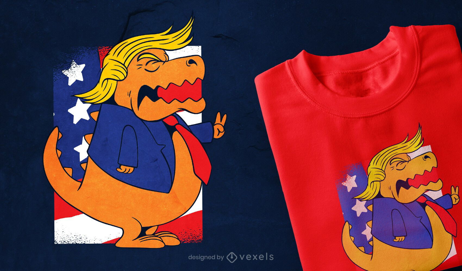
Design de camisetas Trump T-rex
Escolha uma pasta
Todos os favoritos
Criar novo
Salvar
Design de camisetas Trump T-rex
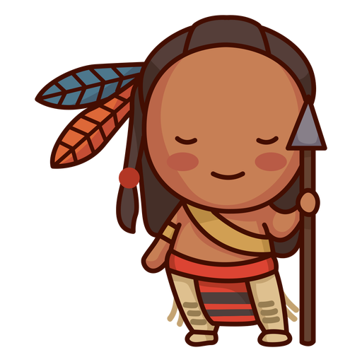
Nativo americano bonito Desenho PNG
Escolha uma pasta
Todos os favoritos
Criar novo
Salvar
Nativo americano bonito Desenho PNG
para Merch
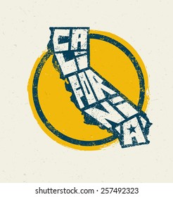
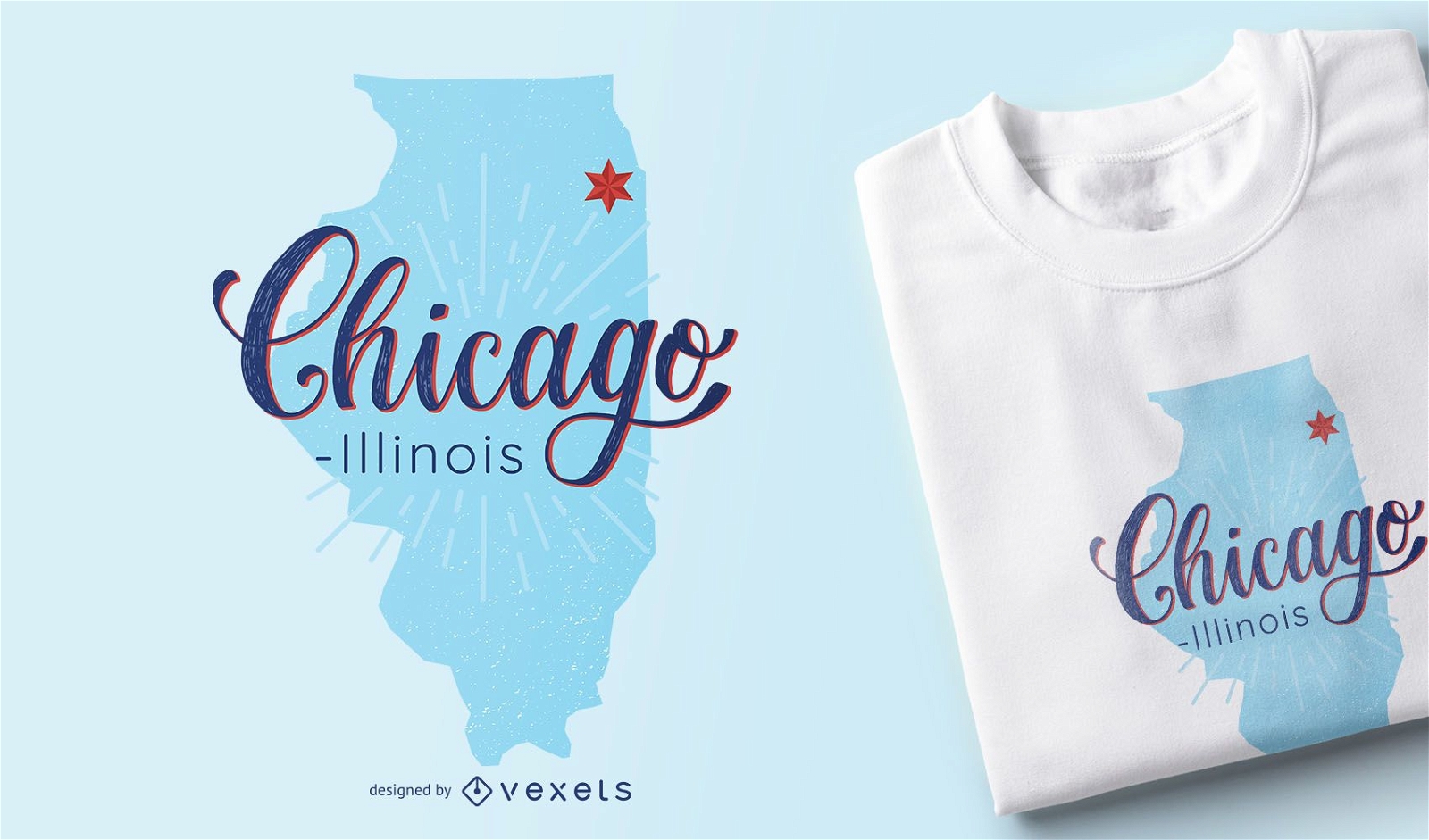
Design de camisetas com mapa de Chicago Illinois
Escolha uma pasta
Todos os favoritos
Criar novo
Salvar
Design de camisetas com mapa de Chicago Illinois
Premium
Viagem ao horizonte de Chicago
Escolha uma pasta
Todos os favoritos
Criar novo
Salvar
Viagem ao horizonte de Chicago
Premium
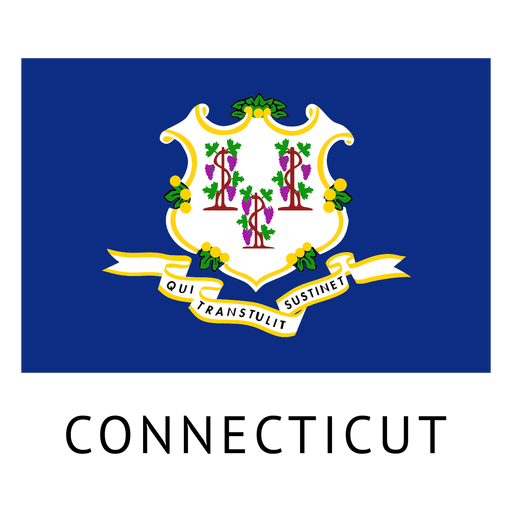
Bandeira do estado de Connecticut Desenho PNG
Escolha uma pasta
Todos os favoritos
Criar novo
Salvar
Bandeira do estado de Connecticut Desenho PNG
Premium
Desenho do horizonte de San Antonio
Escolha uma pasta
Todos os favoritos
Criar novo
Salvar
Desenho do horizonte de San Antonio
Pronto para imprimir
para Merch
Design de camiseta de gato do Memorial Day dos EUA
Escolha uma pasta
Todos os favoritos
Criar novo
Salvar
Design de camiseta de gato do Memorial Day dos EUA
FourthofJuly-AmericaIcons-VintageMetal - 10 Desenho PNG
Escolha uma pasta
Todos os favoritos
Criar novo
Salvar
FourthofJuly-AmericaIcons-VintageMetal - 10 Desenho PNG
FourthofJuly-StarsandStripes-VintageEtchPrint-Vinyl-CR - 8 Desenho PNG
Escolha uma pasta
Todos os favoritos
Criar novo
Salvar
FourthofJuly-StarsandStripes-VintageEtchPrint-Vinyl-CR - 8 Desenho PNG
Pronto para imprimir
para Merch
Design de camiseta com fio dental biden
Escolha uma pasta
Todos os favoritos
Criar novo
Salvar
Design de camiseta com fio dental biden
Premium
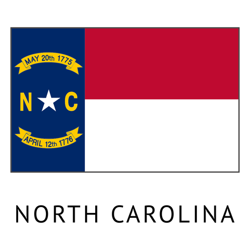
Bandeira do estado de Carolina do Norte Desenho PNG
Escolha uma pasta
Todos os favoritos
Criar novo
Salvar
Bandeira do estado de Carolina do Norte Desenho PNG
Premium
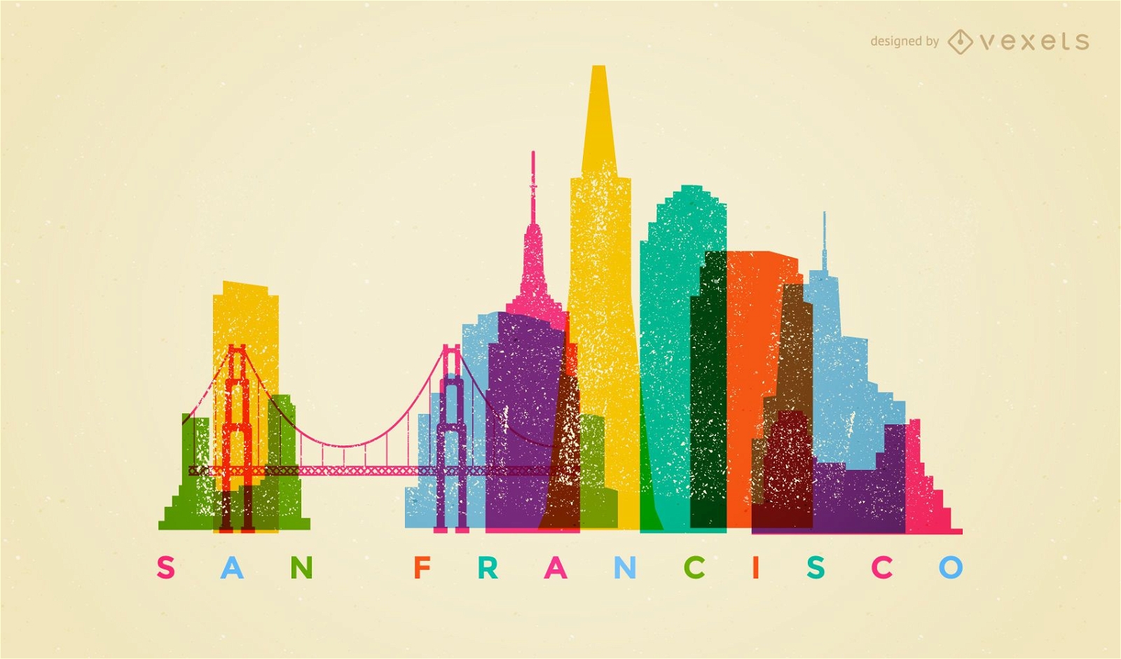
Horizonte colorido de São Francisco
Escolha uma pasta
Todos os favoritos
Criar novo
Salvar
Horizonte colorido de São Francisco
Pronto para imprimir
para Merch
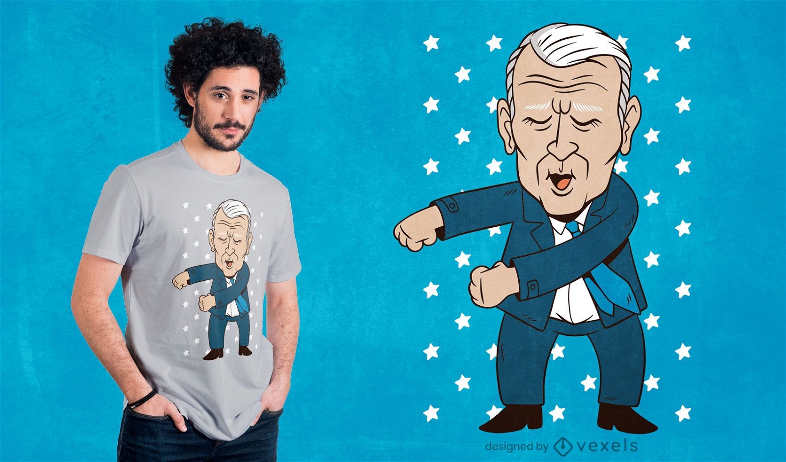
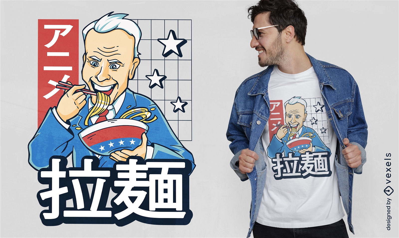
Joe Biden comendo ramen design de camiseta
Escolha uma pasta
Todos os favoritos
Criar novo
Salvar
Joe Biden comendo ramen design de camiseta
Letras em negrito Kentucky Desenho PNG
Escolha uma pasta
Todos os favoritos
Criar novo
Salvar
Letras em negrito Kentucky Desenho PNG
Vermont EUA silhueta do mapa Desenho PNG
Escolha uma pasta
Todos os favoritos
Criar novo
Salvar
Vermont EUA silhueta do mapa Desenho PNG
Pronto para imprimir
para Merch
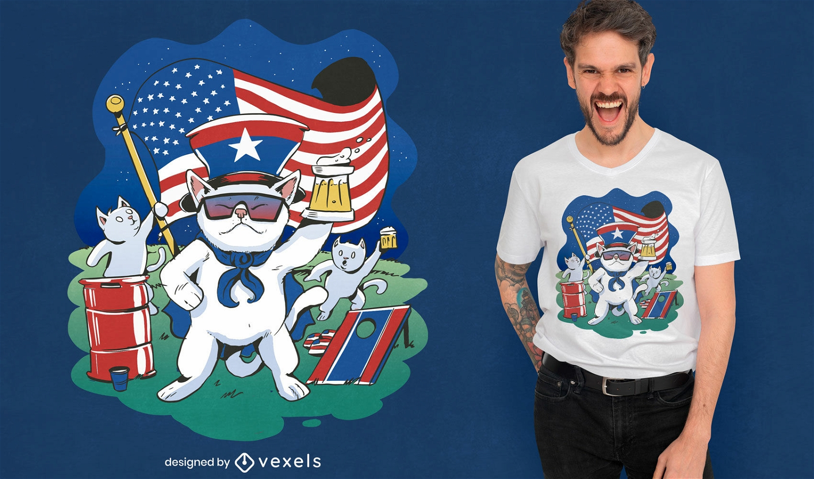
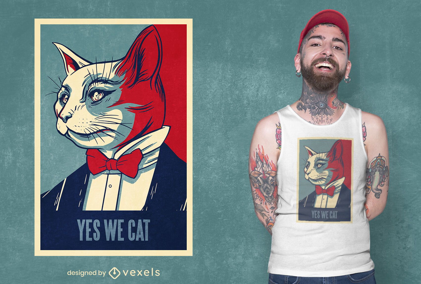
Sim nós criamos camisetas para gatos
Escolha uma pasta
Todos os favoritos
Criar novo
Salvar
Sim nós criamos camisetas para gatos
Pronto para imprimir
para Merch
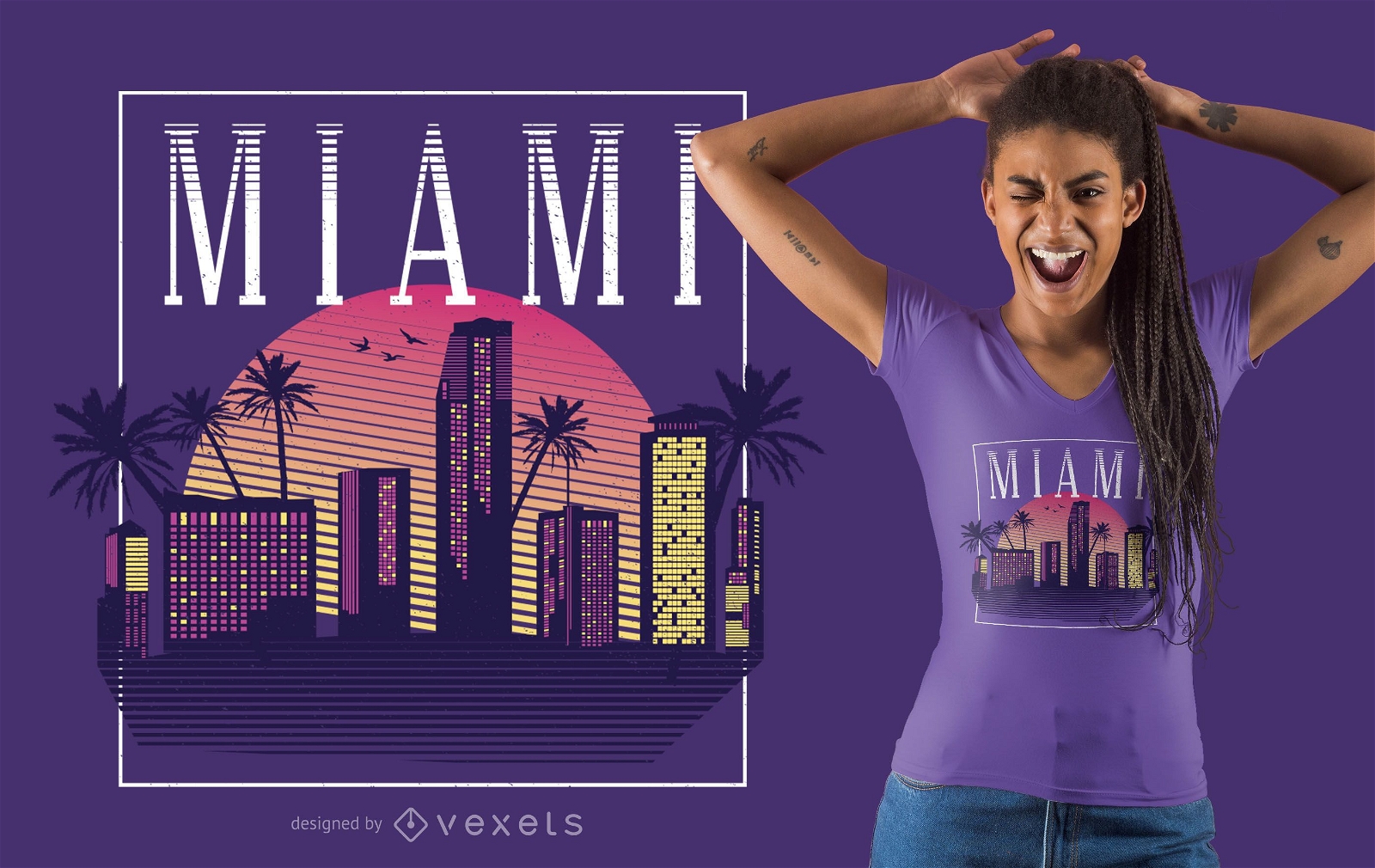
Design de camisetas em estilo retrô Miami
Escolha uma pasta
Todos os favoritos
Criar novo
Salvar
Design de camisetas em estilo retrô Miami
Premium
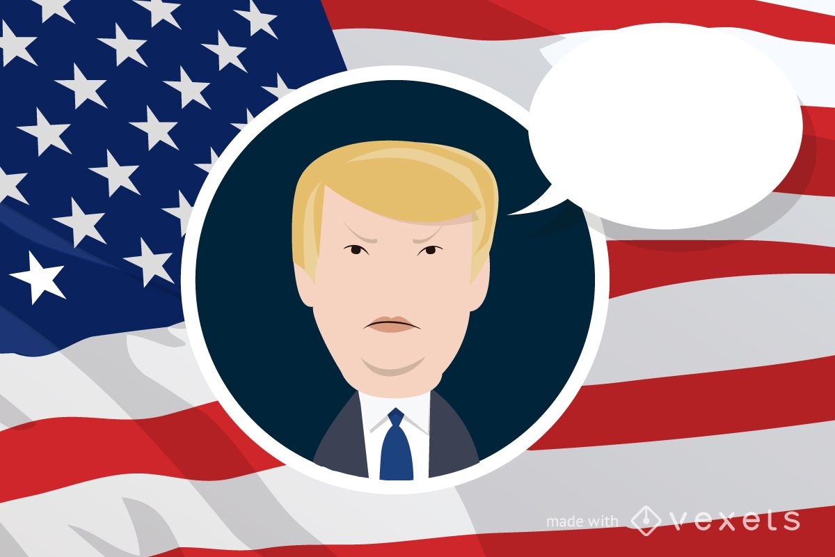
Donald Trump criador de desenhos animados
Escolha uma pasta
Todos os favoritos
Criar novo
Salvar
Donald Trump criador de desenhos animados
Premium
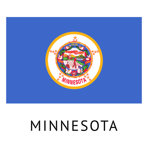
Bandeira do estado de Minnesota Desenho PNG
Escolha uma pasta
Todos os favoritos
Criar novo
Salvar
Bandeira do estado de Minnesota Desenho PNG
Premium
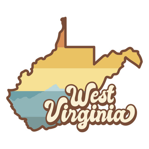
O mapa da Virgínia Ocidental com as palavras Virgínia Ocidental Desenho PNG
Escolha uma pasta
Todos os favoritos
Criar novo
Salvar
O mapa da Virgínia Ocidental com as palavras Virgínia Ocidental Desenho PNG
Pronto para imprimir
para Merch
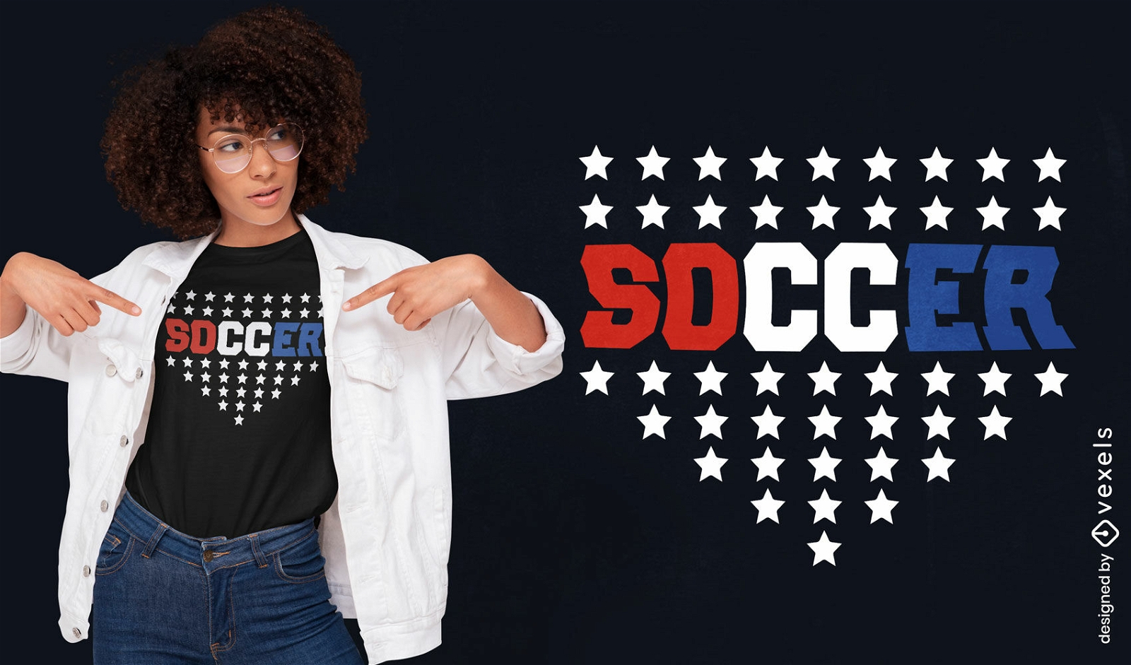
Design de camiseta de futebol dos EUA
Escolha uma pasta
Todos os favoritos
Criar novo
Salvar
Design de camiseta de futebol dos EUA
Pronto para imprimir
para Merch
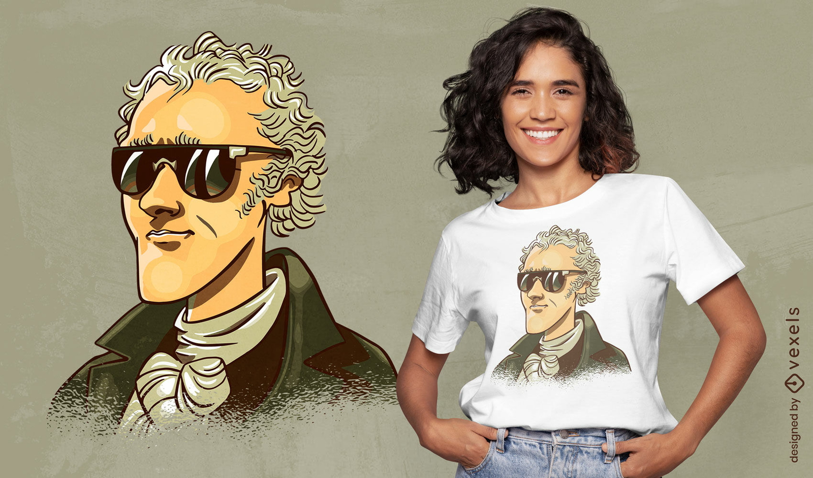
Design de camiseta com óculos de sol Alexander Hamilton
Escolha uma pasta
Todos os favoritos
Criar novo
Salvar
Design de camiseta com óculos de sol Alexander Hamilton
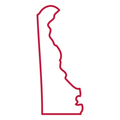
Curso de mapa dos EUA de Delaware Desenho PNG
Escolha uma pasta
Todos os favoritos
Criar novo
Salvar
Curso de mapa dos EUA de Delaware Desenho PNG
Pronto para imprimir
para Merch
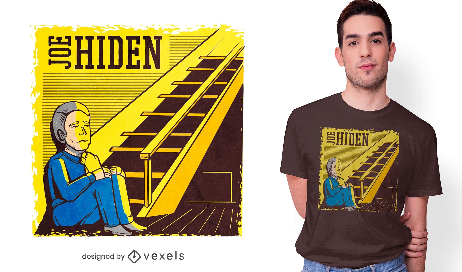
Design de camiseta Joe Hiden
Escolha uma pasta
Todos os favoritos
Criar novo
Salvar
Design de camiseta Joe Hiden
Pronto para imprimir
para Merch
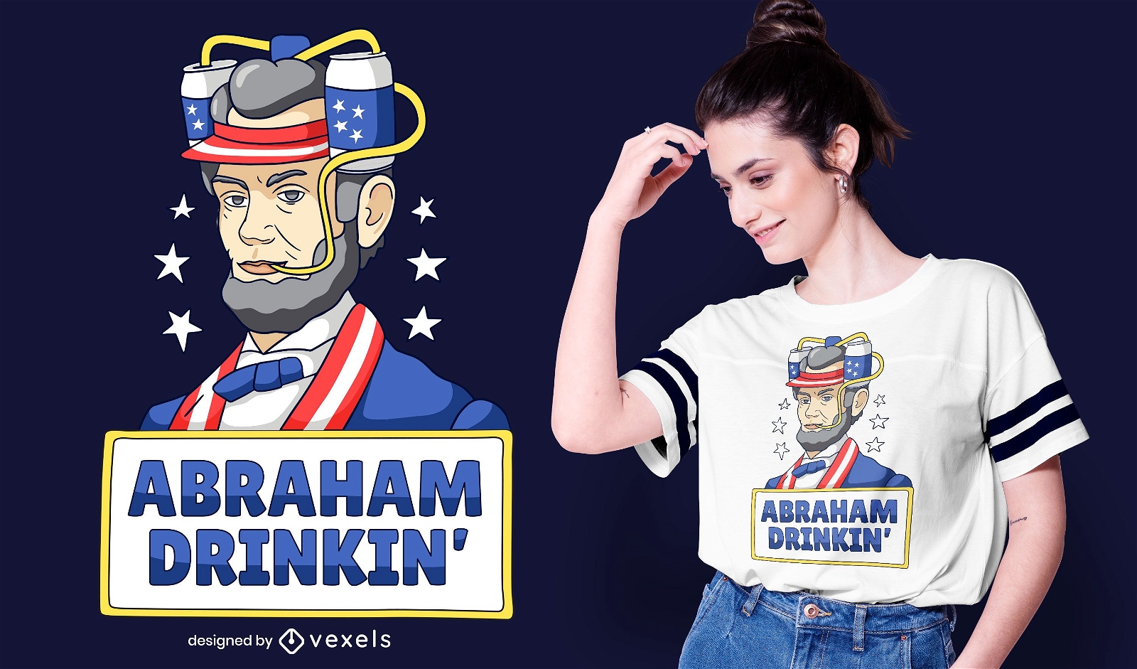
Design de camiseta bebendo de Abraham
Escolha uma pasta
Todos os favoritos
Criar novo
Salvar
Design de camiseta bebendo de Abraham
para Merch
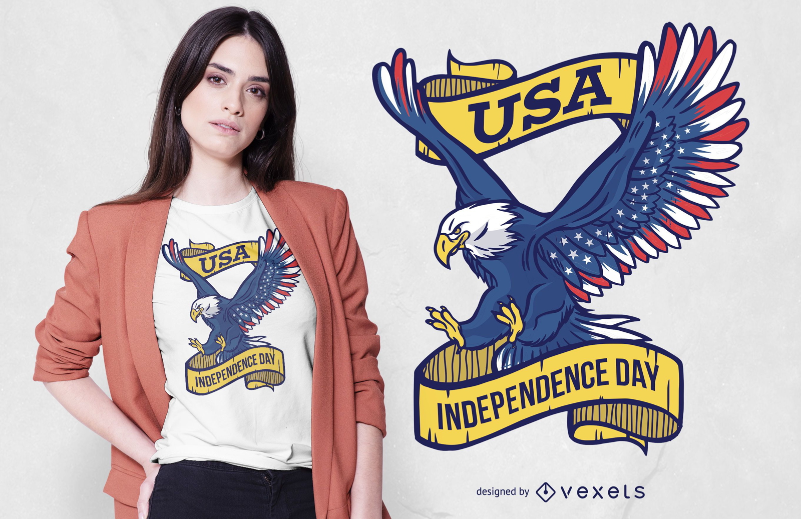
Design de camisetas Eagle do Dia da Independência dos EUA
Escolha uma pasta
Todos os favoritos
Criar novo
Salvar
Design de camisetas Eagle do Dia da Independência dos EUA
Premium
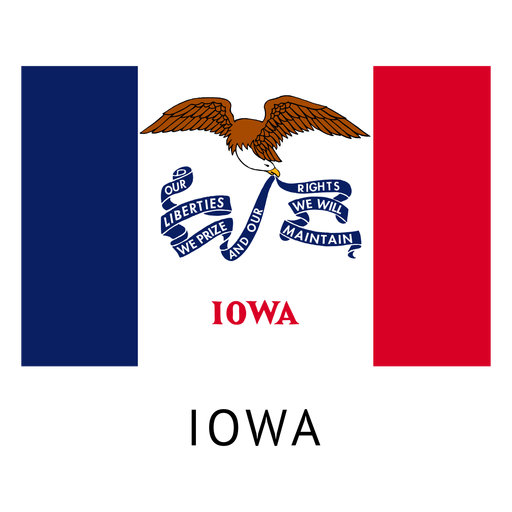
Bandeira do estado de Iowa Desenho PNG
Escolha uma pasta
Todos os favoritos
Criar novo
Salvar
Bandeira do estado de Iowa Desenho PNG
Premium
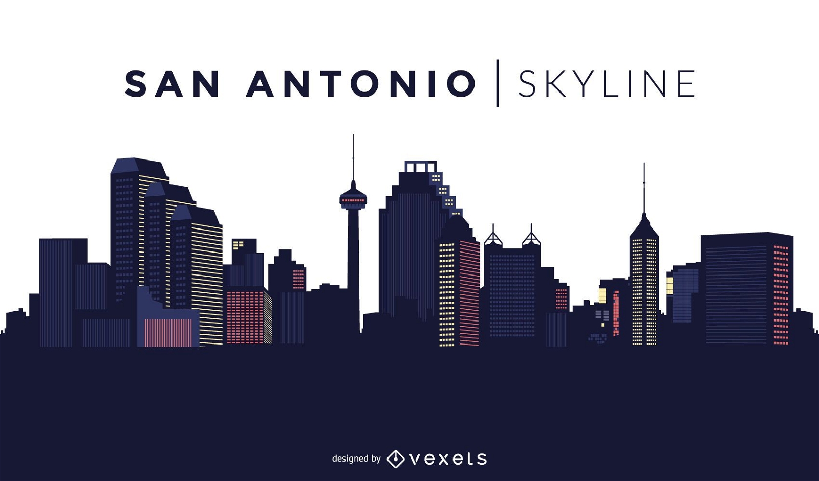
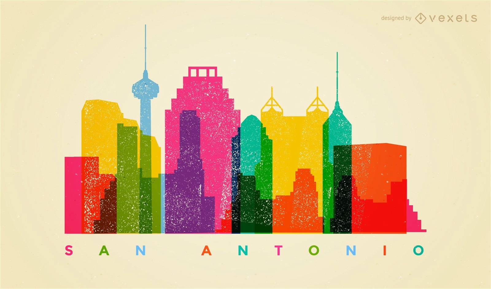
Horizonte colorido de San Antonio
Escolha uma pasta
Todos os favoritos
Criar novo
Salvar
Horizonte colorido de San Antonio
Impulsione seu negócio
Com a plataforma gráfica líder de mercado.
Ver planos
Próxima
do 49
prev page
next page