Biblioteca de design
Novos designs Merch
Camisetas
Vectores
Designs de Merch de Tendência
PNGs & SVGs
Mockups
Modelos de T-Shirt PSD
Explorar Desenhos
Designs KDP
Pôsteres
Canecas
Capas para celular
Sacos de compras
Almofadas
Ferramentas de desenho
Merch Designer
Novo!
Mockup Generator
Gerador de Design de AI
Vetorizador
Quote Generator
T-Shirt Maker (Antigo)
Ajuda
Merch Digest
Blog
Centro de Ajuda
Saiba mais sobre o Merch
Feedback
Soluções Corporativas
Empresa
Acesso à API
Estúdio de Design
Design em Lote
Preços
Carregando...
Inscrever-se
Conecte-se
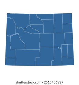
All
states
Biblioteca de design
Novos designs Merch
Camisetas
Vectores
Designs de Merch de Tendência
PNGs & SVGs
Mockups
Modelos de T-Shirt PSD
Explorar Desenhos
Designs KDP
Pôsteres
Canecas
Capas para celular
Sacos de compras
Almofadas
Ferramentas de desenho
Merch Designer
Novo!
Mockup Generator
Gerador de Design de AI
Vetorizador
Quote Generator
T-Shirt Maker (Antigo)
Ajuda
Merch Digest
Blog
Centro de Ajuda
Saiba mais sobre o Merch
Feedback
Soluções Corporativas
Empresa
Acesso à API
Estúdio de Design
Design em Lote
PLANOS
All
states
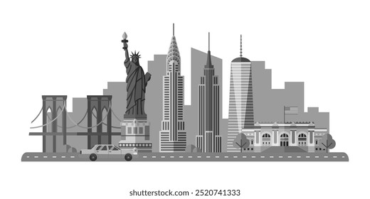
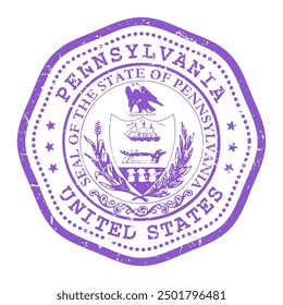
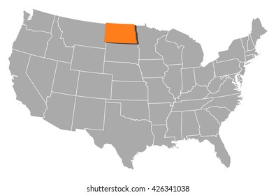
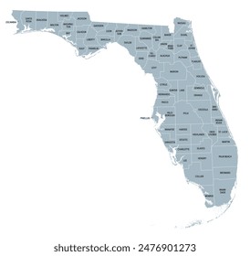
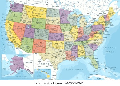
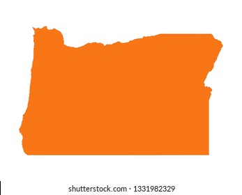
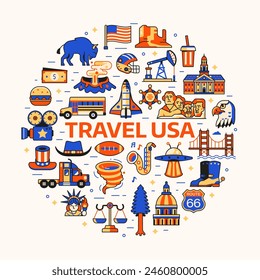
2440 Gráficos e Designs de states para Camisetas e Merch print on demand
Baixar designs de camisetas e para merch, como capas de livro, capas de celular, tote bags e mais de states
Relacionado:
estados unidos
,
estados
,
bandeira dos estados unidos
Ordenar por
Mais relevante
Resultados patrocinados da
Ganhe 15% de desconto com o código: VEXELS15
veja mais detalhes
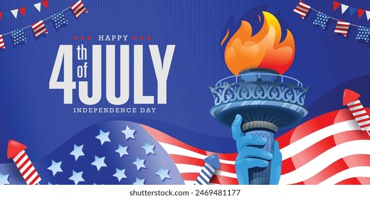
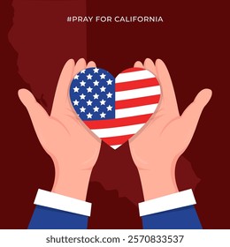
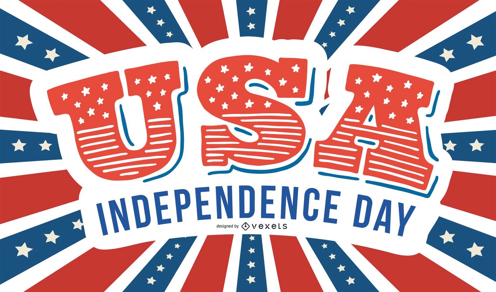
Cartão criativo do Dia da Independência dos EUA
Escolha uma pasta
Todos os favoritos
Criar novo
Salvar
Cartão criativo do Dia da Independência dos EUA
Pronto para imprimir
para Merch
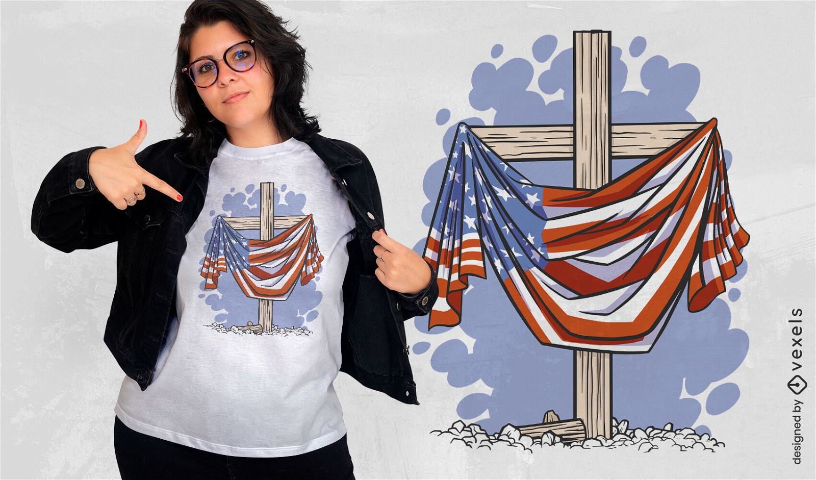
Cruz de madeira e design de t-shirt de bandeira dos EUA
Escolha uma pasta
Todos os favoritos
Criar novo
Salvar
Cruz de madeira e design de t-shirt de bandeira dos EUA
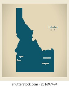
Mapa da mandala do estado de Indiana Desenho PNG
Escolha uma pasta
Todos os favoritos
Criar novo
Salvar
Mapa da mandala do estado de Indiana Desenho PNG
FourthOfJuly-StarsAndStripes-DetailedRealisticSilhouette-CR - 13 Desenho PNG
Escolha uma pasta
Todos os favoritos
Criar novo
Salvar
FourthOfJuly-StarsAndStripes-DetailedRealisticSilhouette-CR - 13 Desenho PNG
FourthOfJuly-Elements-VintageMetal - 3 Desenho PNG
Escolha uma pasta
Todos os favoritos
Criar novo
Salvar
FourthOfJuly-Elements-VintageMetal - 3 Desenho PNG
Projeto de eleições de voto Stary Desenho PNG
Escolha uma pasta
Todos os favoritos
Criar novo
Salvar
Projeto de eleições de voto Stary Desenho PNG
Elemento de bandeira do monte rushmore eua Desenho PNG
Escolha uma pasta
Todos os favoritos
Criar novo
Salvar
Elemento de bandeira do monte rushmore eua Desenho PNG
Premium
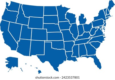
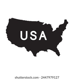
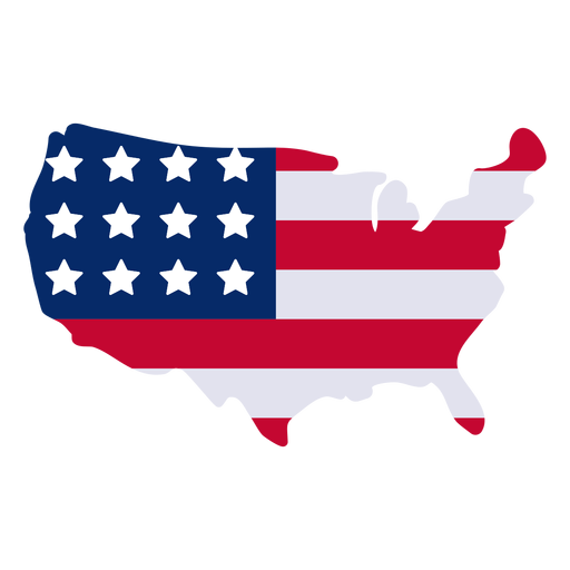
Elemento de design de mapa americano Desenho PNG
Escolha uma pasta
Todos os favoritos
Criar novo
Salvar
Elemento de design de mapa americano Desenho PNG
Premium
Ícone de ilustração de águia Desenho PNG
Escolha uma pasta
Todos os favoritos
Criar novo
Salvar
Ícone de ilustração de águia Desenho PNG
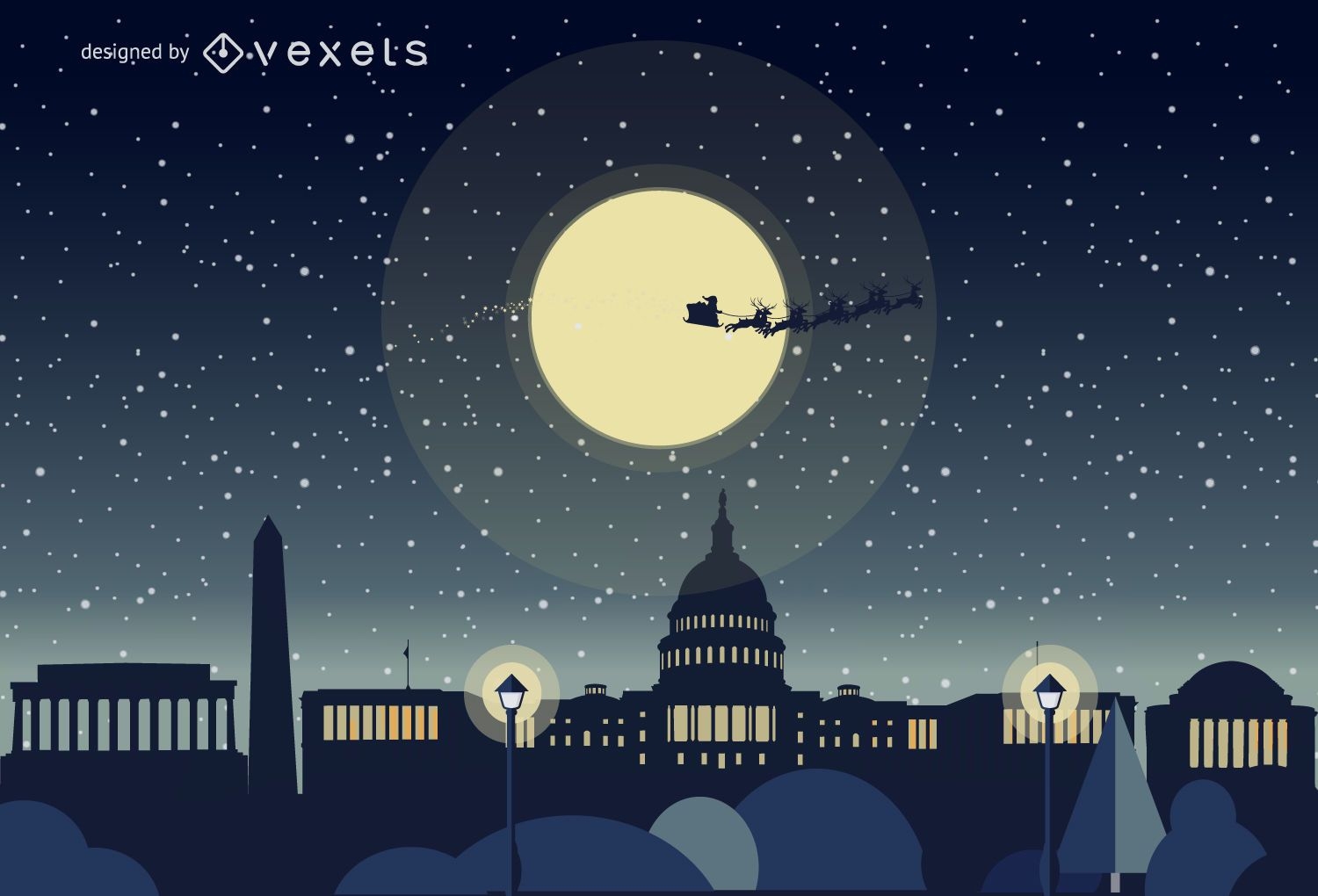
Horizonte de natal de Washington
Escolha uma pasta
Todos os favoritos
Criar novo
Salvar
Horizonte de natal de Washington
Fita de origami dobrada azul EUA Desenho PNG
Escolha uma pasta
Todos os favoritos
Criar novo
Salvar
Fita de origami dobrada azul EUA Desenho PNG
Distintivo de fita de bandeira EUA Desenho PNG
Escolha uma pasta
Todos os favoritos
Criar novo
Salvar
Distintivo de fita de bandeira EUA Desenho PNG
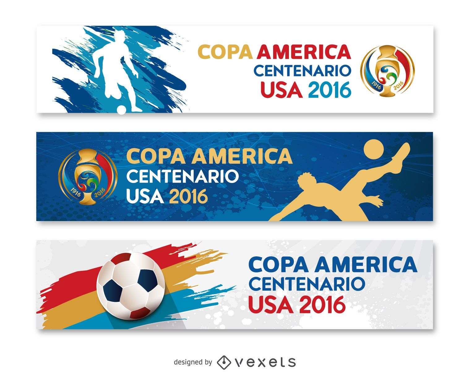
3 banners Copa América EUA 2016
Escolha uma pasta
Todos os favoritos
Criar novo
Salvar
3 banners Copa América EUA 2016
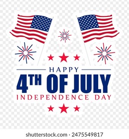
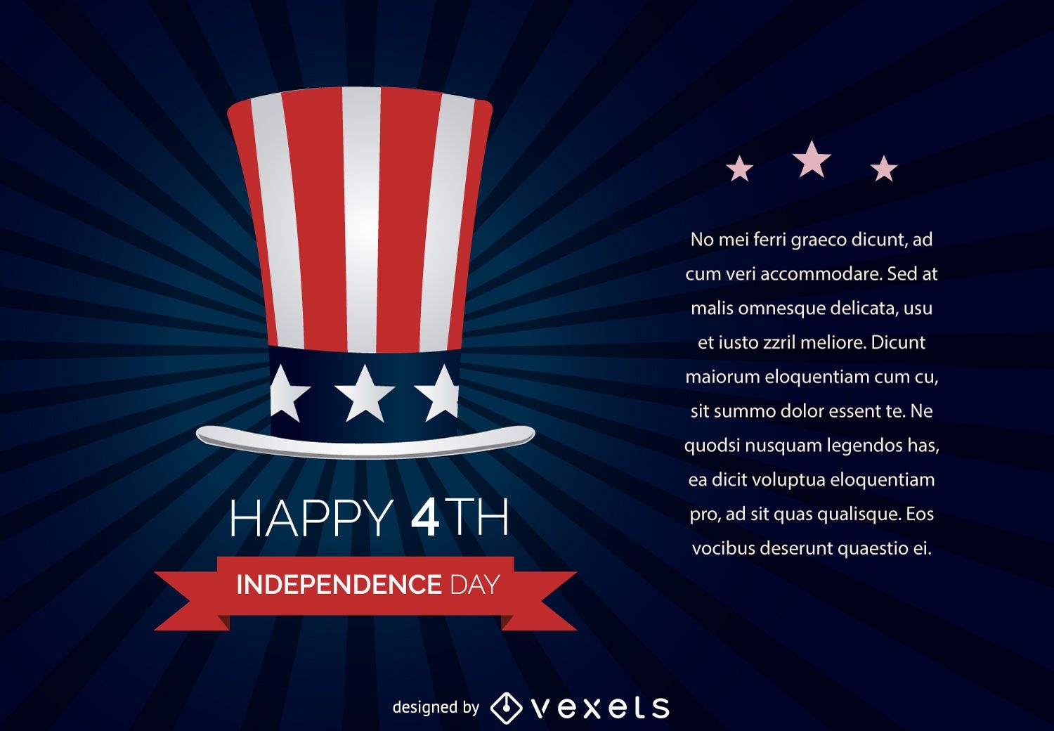
4 de julho Dia da Independência
Escolha uma pasta
Todos os favoritos
Criar novo
Salvar
4 de julho Dia da Independência
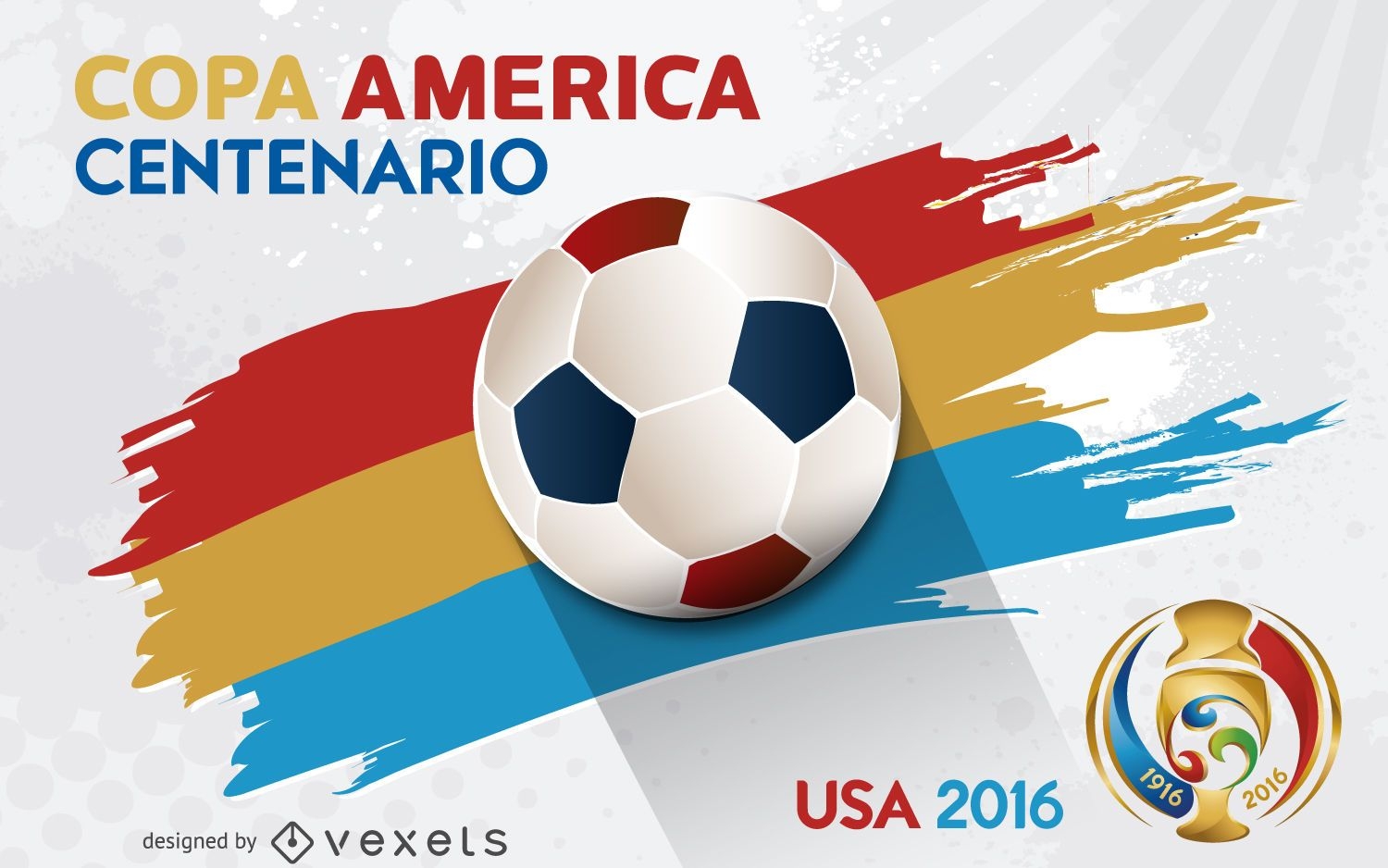
Pôster da Copa América Centenário
Escolha uma pasta
Todos os favoritos
Criar novo
Salvar
Pôster da Copa América Centenário
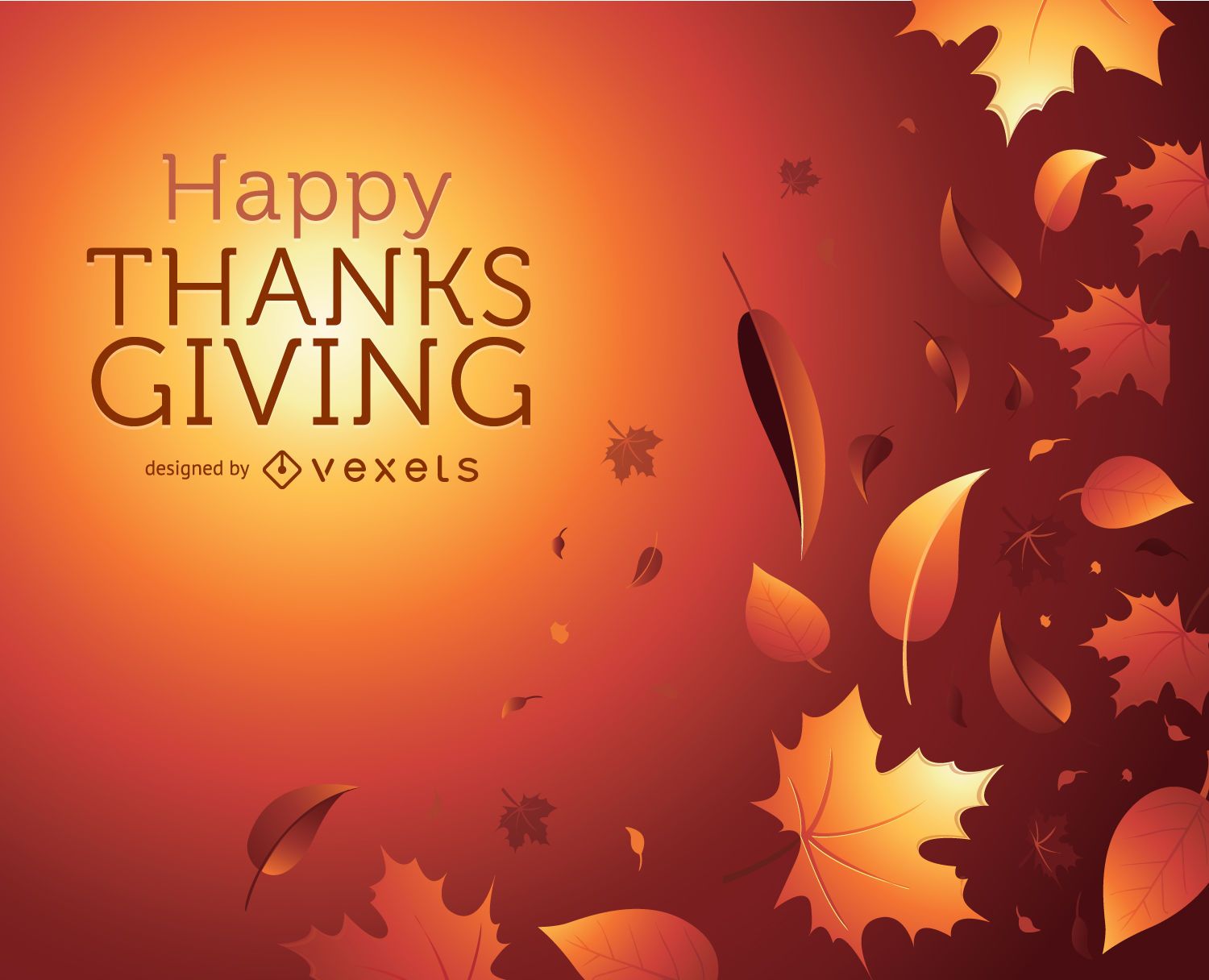
Obrigado dando gráfico de outono
Escolha uma pasta
Todos os favoritos
Criar novo
Salvar
Obrigado dando gráfico de outono
texto editável
Pronto para imprimir
para Merch
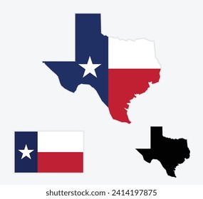
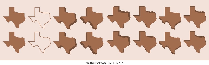
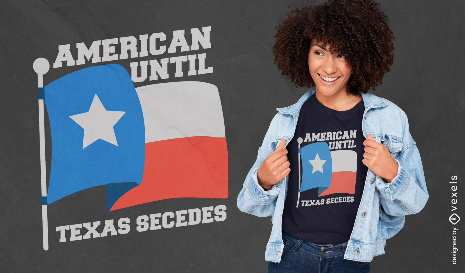
American até que o Texas separe o design de camiseta patriótica
Escolha uma pasta
Todos os favoritos
Criar novo
Salvar
American até que o Texas separe o design de camiseta patriótica
Pronto para imprimir
para Merch
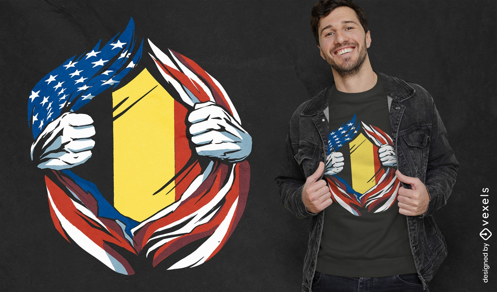
Design de camiseta com bandeira americana e belga
Escolha uma pasta
Todos os favoritos
Criar novo
Salvar
Design de camiseta com bandeira americana e belga
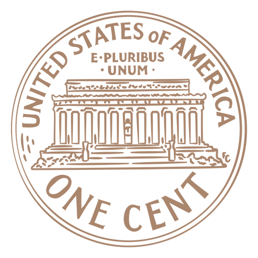
Curso de moeda eua um centavo Desenho PNG
Escolha uma pasta
Todos os favoritos
Criar novo
Salvar
Curso de moeda eua um centavo Desenho PNG
Cauda de moeda de um quarto de curso Desenho PNG
Escolha uma pasta
Todos os favoritos
Criar novo
Salvar
Cauda de moeda de um quarto de curso Desenho PNG
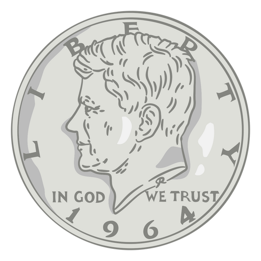
Ilustração de moeda cabeça de meio dólar eua Desenho PNG
Escolha uma pasta
Todos os favoritos
Criar novo
Salvar
Ilustração de moeda cabeça de meio dólar eua Desenho PNG
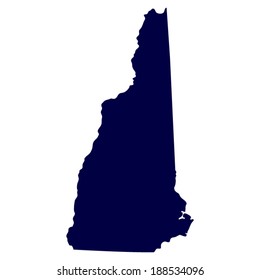
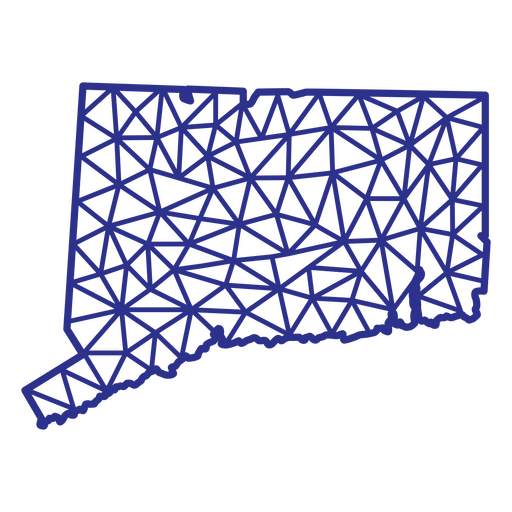
Mapa de Connecticut poligonal Desenho PNG
Escolha uma pasta
Todos os favoritos
Criar novo
Salvar
Mapa de Connecticut poligonal Desenho PNG
Frases de quatro de julho - Escrita com ponta de feltro - 21 Desenho PNG
Escolha uma pasta
Todos os favoritos
Criar novo
Salvar
Frases de quatro de julho - Escrita com ponta de feltro - 21 Desenho PNG
FourthOfJuly-AmericanHistory-VintageEtchPrint-VinylColor - 4 Desenho PNG
Escolha uma pasta
Todos os favoritos
Criar novo
Salvar
FourthOfJuly-AmericanHistory-VintageEtchPrint-VinylColor - 4 Desenho PNG
FourthOfJuly-AmericanHistory-VintageEtchPrint-VinylStroke - 2 Desenho PNG
Escolha uma pasta
Todos os favoritos
Criar novo
Salvar
FourthOfJuly-AmericanHistory-VintageEtchPrint-VinylStroke - 2 Desenho PNG
FourthOfJuly-StarsAndStripes-DetailedRealisticSilhouette-CR - 5 Desenho PNG
Escolha uma pasta
Todos os favoritos
Criar novo
Salvar
FourthOfJuly-StarsAndStripes-DetailedRealisticSilhouette-CR - 5 Desenho PNG
FourthOfJuly-StarsAndStripes-DetailedRealisticSilhouette-CR - 12 Desenho PNG
Escolha uma pasta
Todos os favoritos
Criar novo
Salvar
FourthOfJuly-StarsAndStripes-DetailedRealisticSilhouette-CR - 12 Desenho PNG
FourthOfJuly-Elements-VintageMetal - 6 Desenho PNG
Escolha uma pasta
Todos os favoritos
Criar novo
Salvar
FourthOfJuly-Elements-VintageMetal - 6 Desenho PNG
Premium
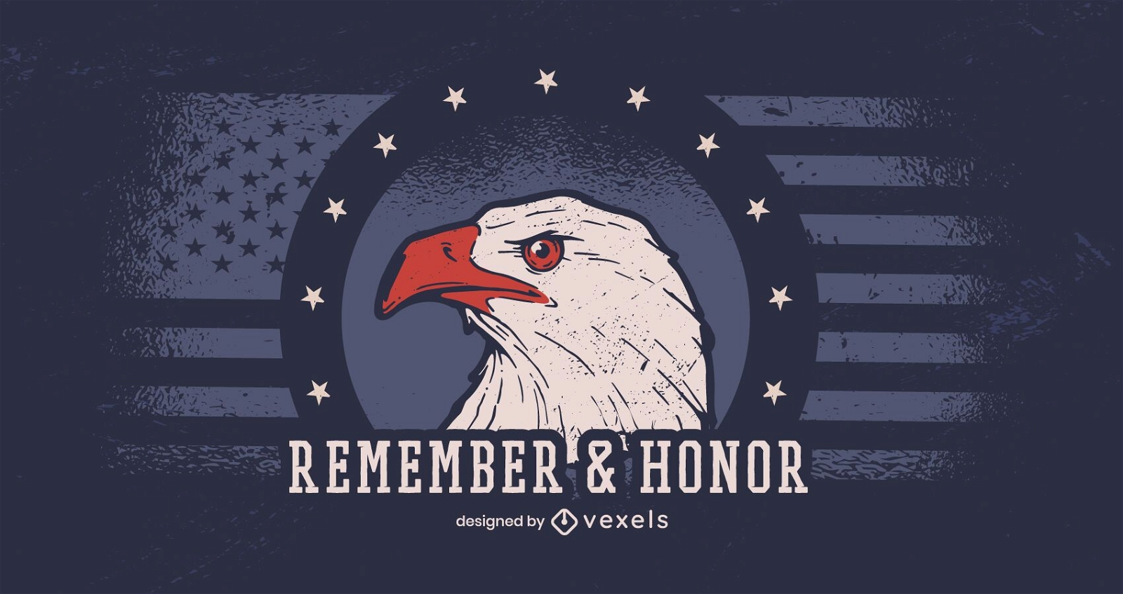
Lembrar e homenagear o banner do dia dos veteranos
Escolha uma pasta
Todos os favoritos
Criar novo
Salvar
Lembrar e homenagear o banner do dia dos veteranos
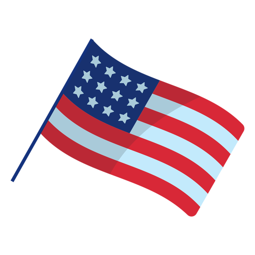
Elemento da bandeira patriótica americana Desenho PNG
Escolha uma pasta
Todos os favoritos
Criar novo
Salvar
Elemento da bandeira patriótica americana Desenho PNG
Curso de distintivo do xerife dos EUA Desenho PNG
Escolha uma pasta
Todos os favoritos
Criar novo
Salvar
Curso de distintivo do xerife dos EUA Desenho PNG
Premium
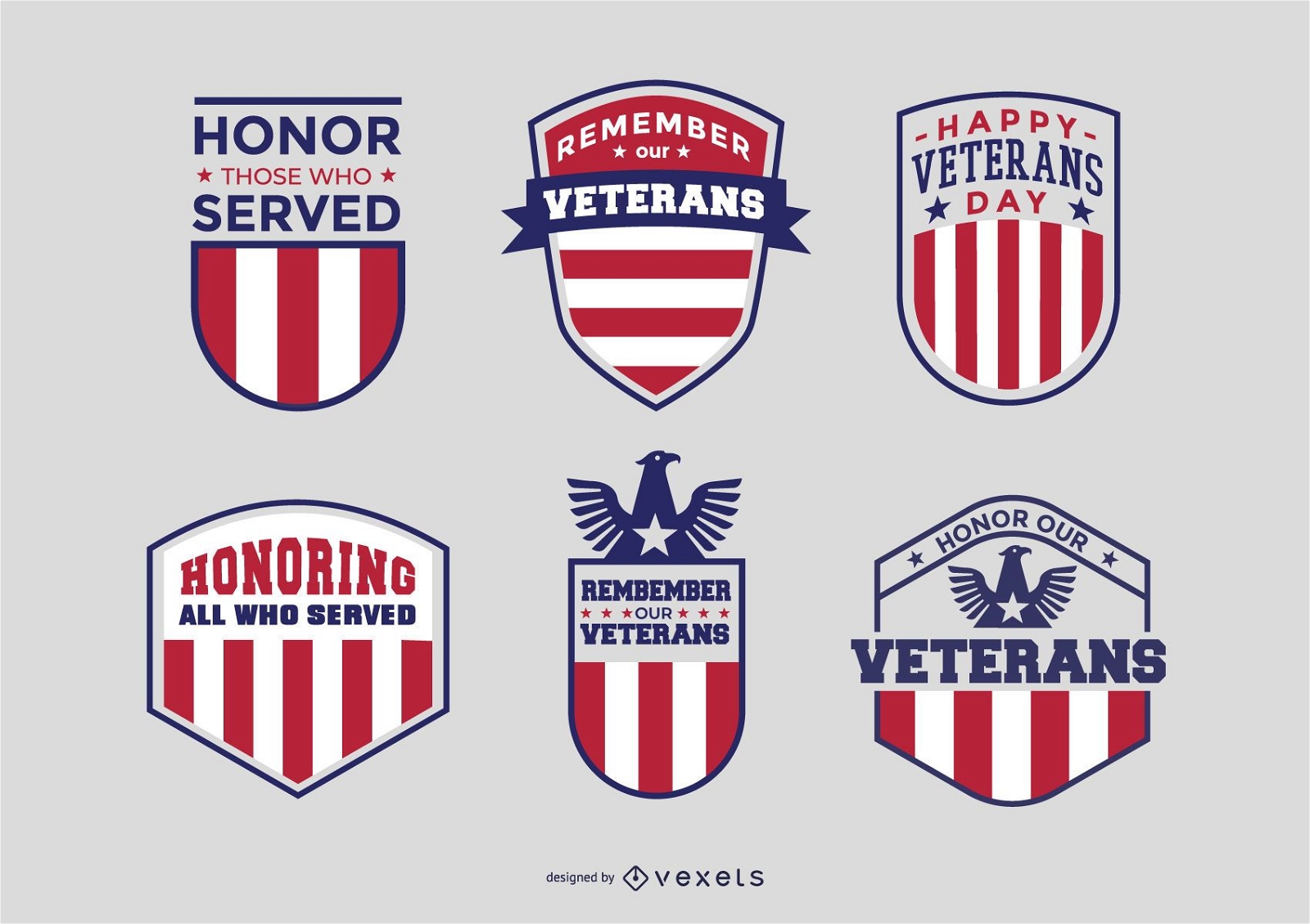
Pacote de emblemas de veteranos
Escolha uma pasta
Todos os favoritos
Criar novo
Salvar
Pacote de emblemas de veteranos
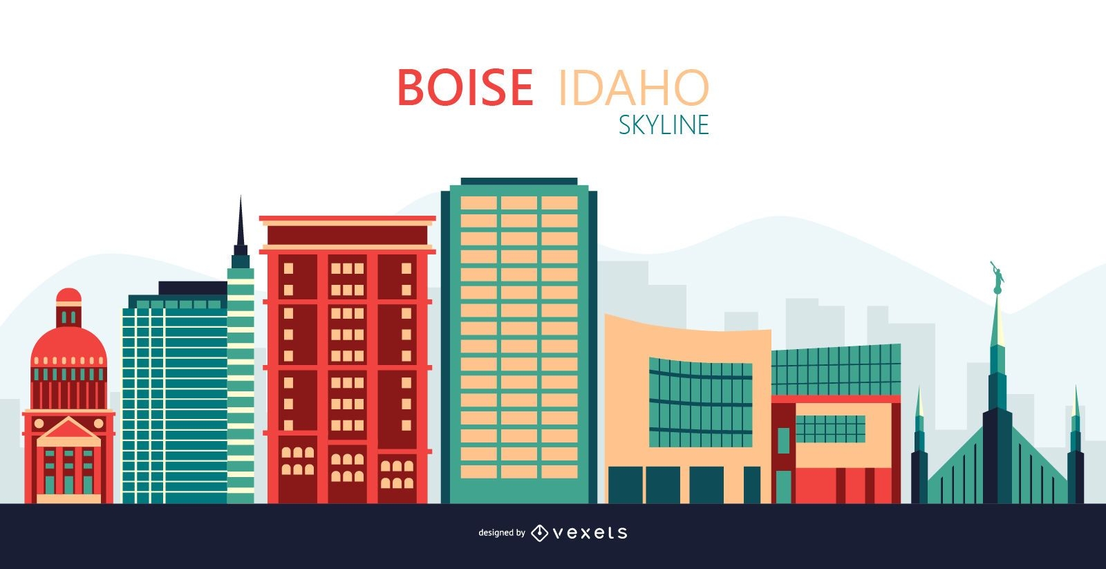
Ilustração do horizonte de Boise
Escolha uma pasta
Todos os favoritos
Criar novo
Salvar
Ilustração do horizonte de Boise
Premium
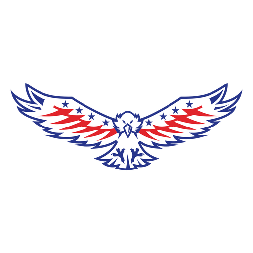
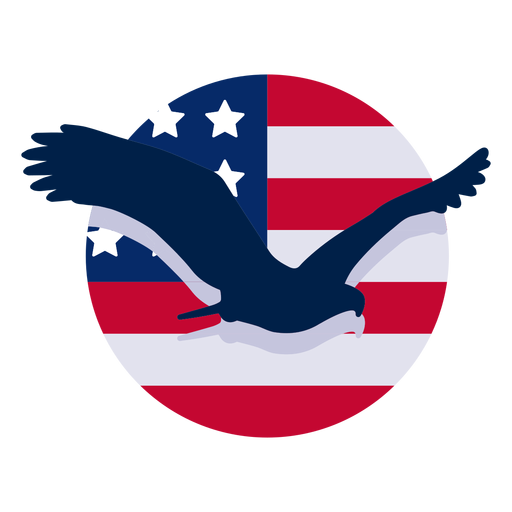
Elemento de design de águia americana Desenho PNG
Escolha uma pasta
Todos os favoritos
Criar novo
Salvar
Elemento de design de águia americana Desenho PNG
Premium
Ícone de ônibus espacial de AVC Desenho PNG
Escolha uma pasta
Todos os favoritos
Criar novo
Salvar
Ícone de ônibus espacial de AVC Desenho PNG
Fita de origami listra azul vermelho Desenho PNG
Escolha uma pasta
Todos os favoritos
Criar novo
Salvar
Fita de origami listra azul vermelho Desenho PNG
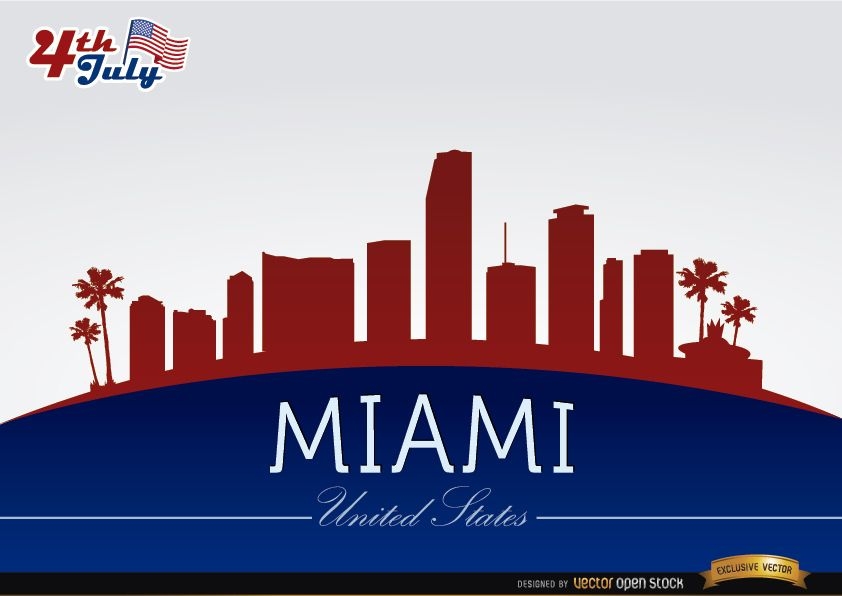
Horizonte de Miami em comemoração de 4 de julho
Escolha uma pasta
Todos os favoritos
Criar novo
Salvar
Horizonte de Miami em comemoração de 4 de julho
texto editável
Pronto para imprimir
para Merch
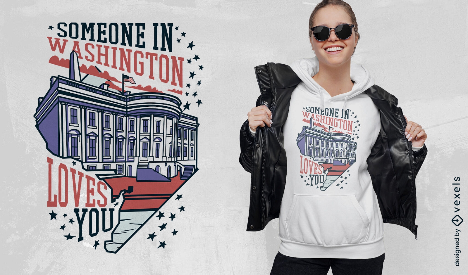
Design de camiseta de amor de Washington
Escolha uma pasta
Todos os favoritos
Criar novo
Salvar
Design de camiseta de amor de Washington
Cauda de níquel com curso de moeda eua Desenho PNG
Escolha uma pasta
Todos os favoritos
Criar novo
Salvar
Cauda de níquel com curso de moeda eua Desenho PNG
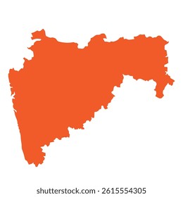
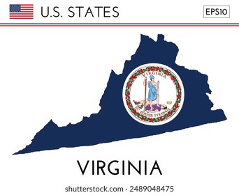
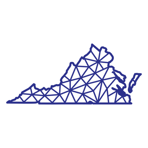
Poligonal do mapa da Virgínia Desenho PNG
Escolha uma pasta
Todos os favoritos
Criar novo
Salvar
Poligonal do mapa da Virgínia Desenho PNG
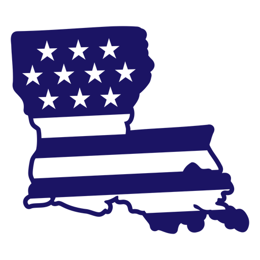
Mapa de traçado cheio de bandeira americana do estado de Louisiana Desenho PNG
Escolha uma pasta
Todos os favoritos
Criar novo
Salvar
Mapa de traçado cheio de bandeira americana do estado de Louisiana Desenho PNG
FourthOfJuly-StarsAndStripes-DetailedRealisticSilhouette-CR - 1 Desenho PNG
Escolha uma pasta
Todos os favoritos
Criar novo
Salvar
FourthOfJuly-StarsAndStripes-DetailedRealisticSilhouette-CR - 1 Desenho PNG
FourthofJuly-AmericaIcons-VintageMetal - 7 Desenho PNG
Escolha uma pasta
Todos os favoritos
Criar novo
Salvar
FourthofJuly-AmericaIcons-VintageMetal - 7 Desenho PNG
Premium
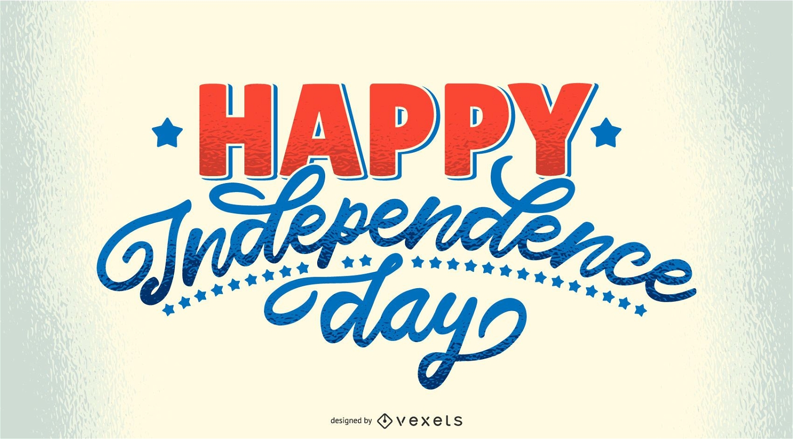
Letras de feliz dia da independência
Escolha uma pasta
Todos os favoritos
Criar novo
Salvar
Letras de feliz dia da independência
Ícone estrela americana Desenho PNG
Escolha uma pasta
Todos os favoritos
Criar novo
Salvar
Ícone estrela americana Desenho PNG
Balão eua Desenho PNG
Escolha uma pasta
Todos os favoritos
Criar novo
Salvar
Balão eua Desenho PNG
Elemento de foguete de fogos de artifício patriótico Desenho PNG
Escolha uma pasta
Todos os favoritos
Criar novo
Salvar
Elemento de foguete de fogos de artifício patriótico Desenho PNG
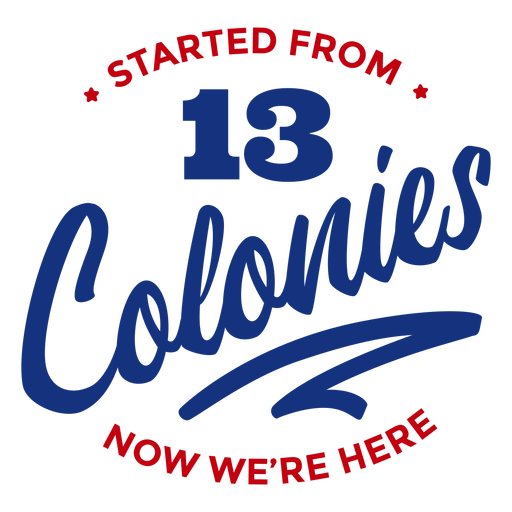
Começou com as letras das colônias Desenho PNG
Escolha uma pasta
Todos os favoritos
Criar novo
Salvar
Começou com as letras das colônias Desenho PNG
Pronto para imprimir
para Merch
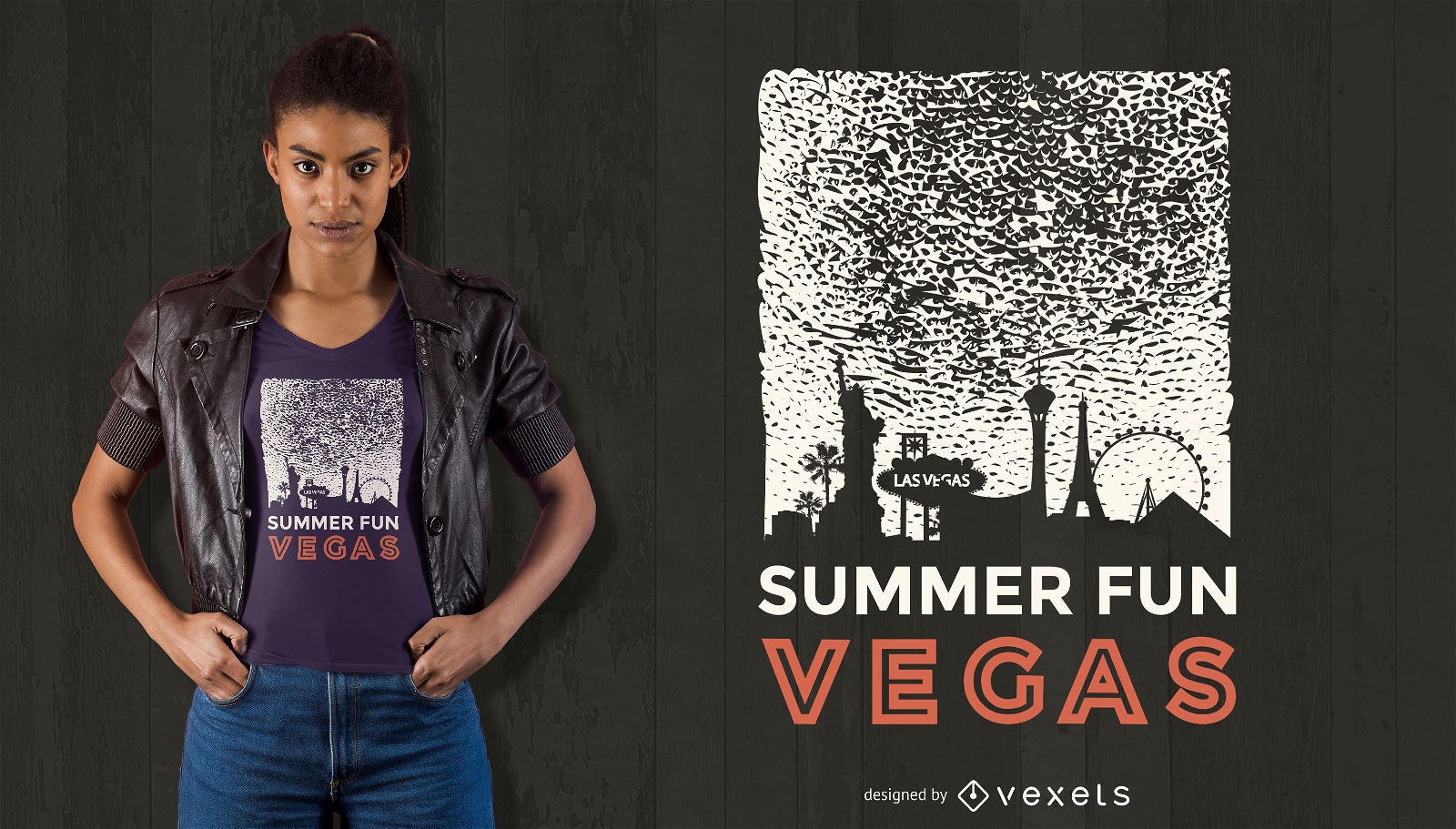
Design de camisetas vegas divertidas de verão
Escolha uma pasta
Todos os favoritos
Criar novo
Salvar
Design de camisetas vegas divertidas de verão
Pronto para imprimir
para Merch
Design de camisetas de verão em vegas
Escolha uma pasta
Todos os favoritos
Criar novo
Salvar
Design de camisetas de verão em vegas
Impulsione seu negócio
Com a plataforma gráfica líder de mercado.
Ver planos
Próxima
do 49
prev page
next page