Biblioteca de design
Novos designs Merch
Camisetas
Vectores
Designs de Merch de Tendência
PNGs & SVGs
Mockups
Modelos de T-Shirt PSD
Explorar Desenhos
Designs KDP
Pôsteres
Canecas
Capas para celular
Sacos de compras
Almofadas
Ferramentas de desenho
Merch Designer
Novo!
Mockup Generator
Gerador de Design de AI
Vetorizador
Quote Generator
T-Shirt Maker (Antigo)
Ajuda
Merch Digest
Blog
Centro de Ajuda
Saiba mais sobre o Merch
Feedback
Soluções Corporativas
Empresa
Acesso à API
Estúdio de Design
Design em Lote
Preços
Carregando...
Inscrever-se
Conecte-se
All
states
Biblioteca de design
Novos designs Merch
Camisetas
Vectores
Designs de Merch de Tendência
PNGs & SVGs
Mockups
Modelos de T-Shirt PSD
Explorar Desenhos
Designs KDP
Pôsteres
Canecas
Capas para celular
Sacos de compras
Almofadas
Ferramentas de desenho
Merch Designer
Novo!
Mockup Generator
Gerador de Design de AI
Vetorizador
Quote Generator
T-Shirt Maker (Antigo)
Ajuda
Merch Digest
Blog
Centro de Ajuda
Saiba mais sobre o Merch
Feedback
Soluções Corporativas
Empresa
Acesso à API
Estúdio de Design
Design em Lote
PLANOS
All
states
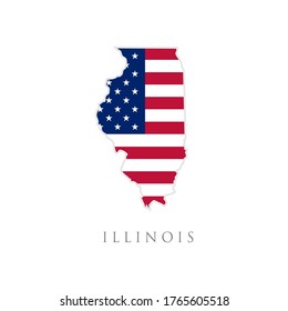
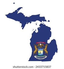
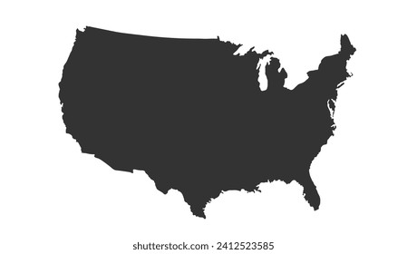
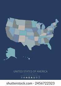
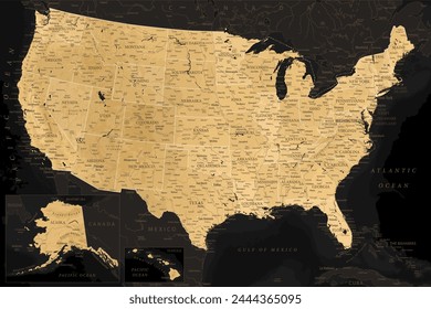
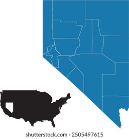
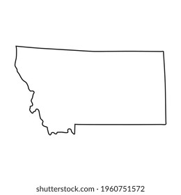
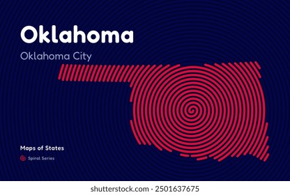
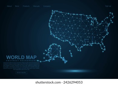
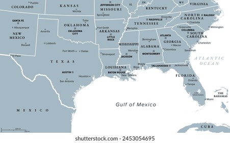
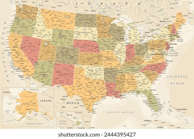
2440 Gráficos e Designs de states para Camisetas e Merch print on demand
Baixar designs de camisetas e para merch, como capas de livro, capas de celular, tote bags e mais de states
Relacionado:
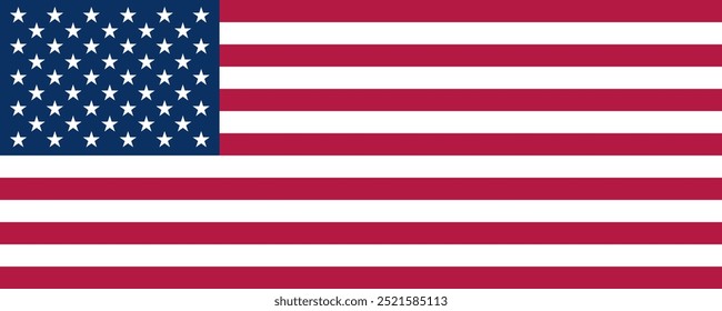
estados unidos
,
estados
,
bandeira dos estados unidos
Ordenar por
Mais relevante
Resultados patrocinados da
Ganhe 15% de desconto com o código: VEXELS15
veja mais detalhes
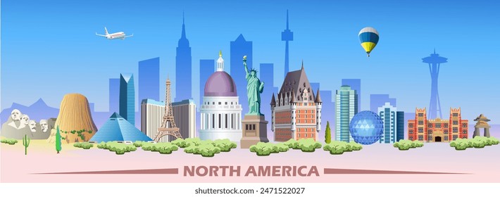
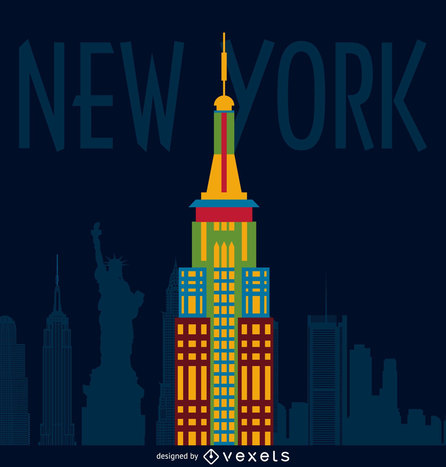
Ilustração de prédio de Nova York
Escolha uma pasta
Todos os favoritos
Criar novo
Salvar
Ilustração de prédio de Nova York
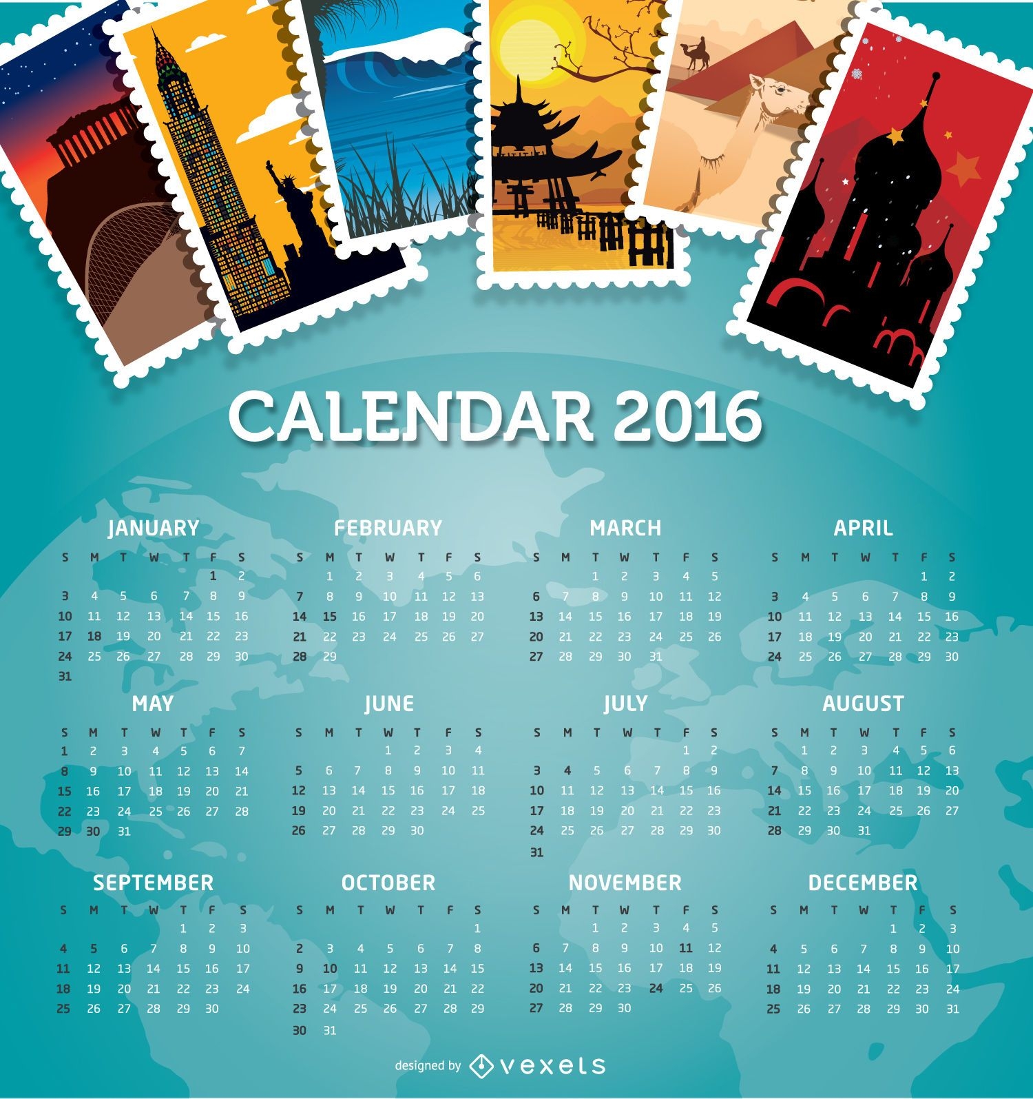
Destinos de viagens do calendário 2016
Escolha uma pasta
Todos os favoritos
Criar novo
Salvar
Destinos de viagens do calendário 2016
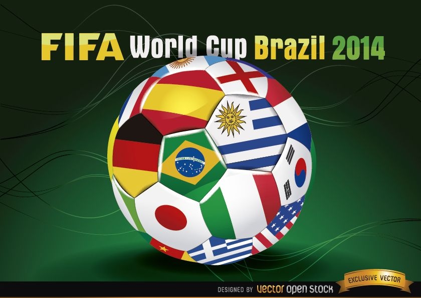
Futebol Brasil 2014 com bandeiras da equipe
Escolha uma pasta
Todos os favoritos
Criar novo
Salvar
Futebol Brasil 2014 com bandeiras da equipe
Premium
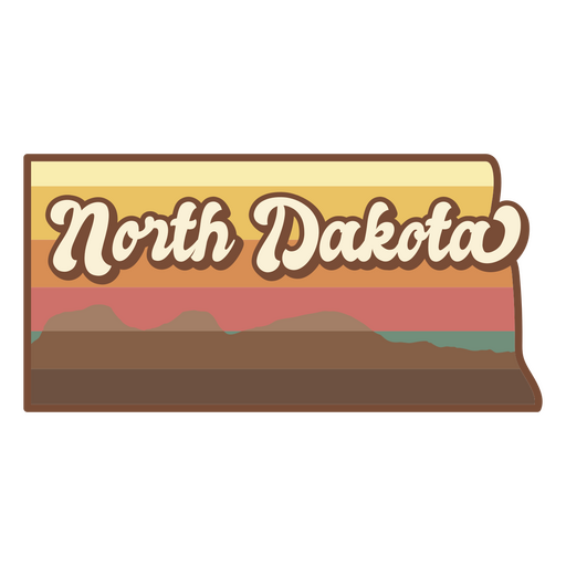
Estado de Dakota do Norte retrô Desenho PNG
Escolha uma pasta
Todos os favoritos
Criar novo
Salvar
Estado de Dakota do Norte retrô Desenho PNG
Premium
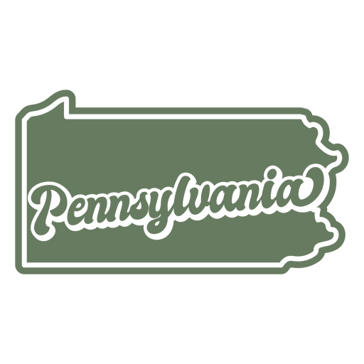
O estado da Pensilvânia em um fundo verde Desenho PNG
Escolha uma pasta
Todos os favoritos
Criar novo
Salvar
O estado da Pensilvânia em um fundo verde Desenho PNG
texto editável
para Merch
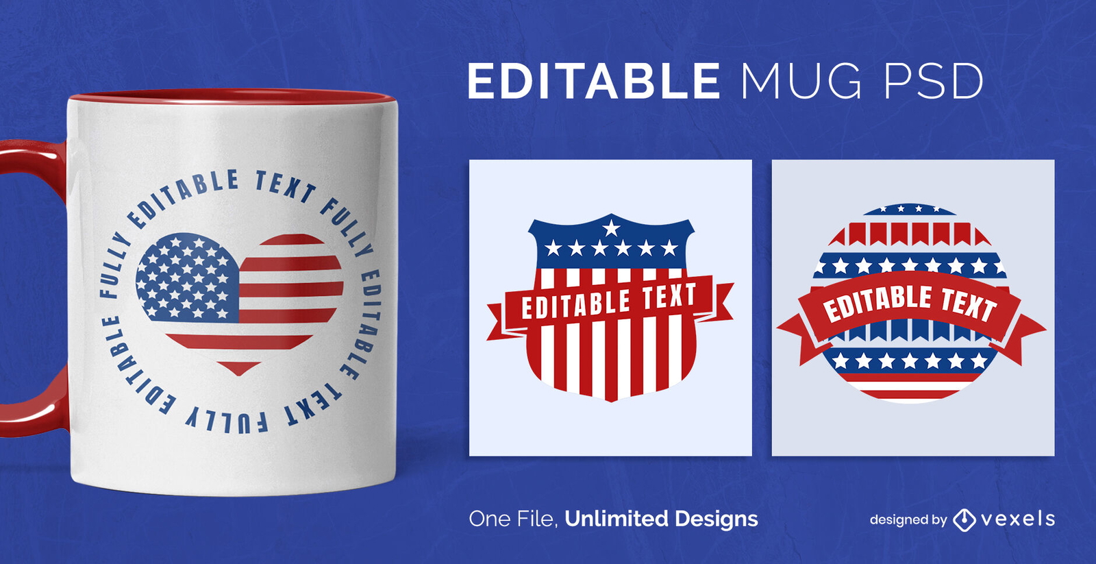
Modelo de Design de Caneca de Emblemas dos EUA Escalável
Escolha uma pasta
Todos os favoritos
Criar novo
Salvar
Modelo de Design de Caneca de Emblemas dos EUA Escalável
texto editável
Pronto para imprimir
para Merch
Design de camiseta de burro dos democratas
Escolha uma pasta
Todos os favoritos
Criar novo
Salvar
Design de camiseta de burro dos democratas
texto editável
Pronto para imprimir
para Merch
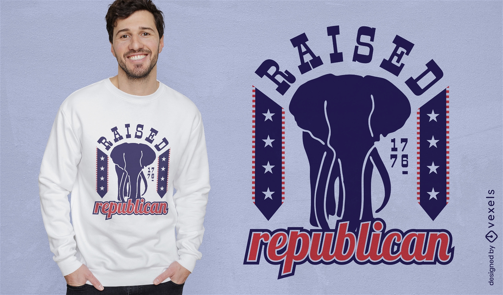
Design de camiseta republicana levantada
Escolha uma pasta
Todos os favoritos
Criar novo
Salvar
Design de camiseta republicana levantada
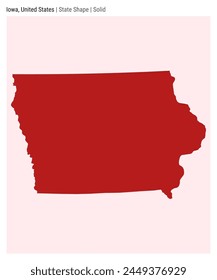
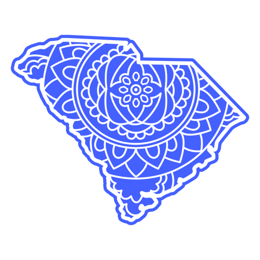
Mapa da Mandala da Carolina do Sul Desenho PNG
Escolha uma pasta
Todos os favoritos
Criar novo
Salvar
Mapa da Mandala da Carolina do Sul Desenho PNG
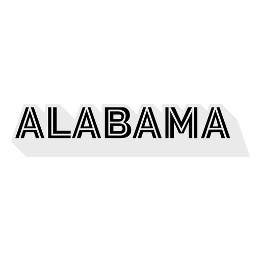
Letras em negrito Alabama Desenho PNG
Escolha uma pasta
Todos os favoritos
Criar novo
Salvar
Letras em negrito Alabama Desenho PNG
Guloseimas de comida recheada de marshmallow Desenho PNG
Escolha uma pasta
Todos os favoritos
Criar novo
Salvar
Guloseimas de comida recheada de marshmallow Desenho PNG
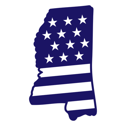
Mapa de traçado cheio de bandeira americana do estado do Mississippi Desenho PNG
Escolha uma pasta
Todos os favoritos
Criar novo
Salvar
Mapa de traçado cheio de bandeira americana do estado do Mississippi Desenho PNG
Monumento do Monte Rushmore cortado Desenho PNG
Escolha uma pasta
Todos os favoritos
Criar novo
Salvar
Monumento do Monte Rushmore cortado Desenho PNG
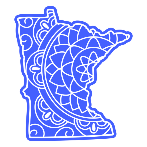
Mapa da mandala do estado de Minnesota Desenho PNG
Escolha uma pasta
Todos os favoritos
Criar novo
Salvar
Mapa da mandala do estado de Minnesota Desenho PNG
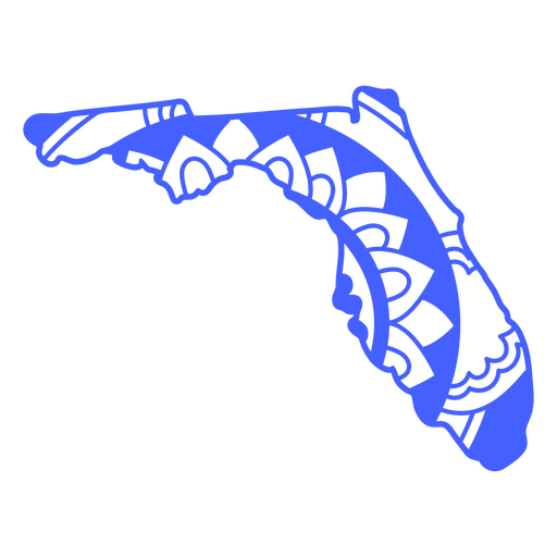
Curso de mapa de mandala do estado da Flórida Desenho PNG
Escolha uma pasta
Todos os favoritos
Criar novo
Salvar
Curso de mapa de mandala do estado da Flórida Desenho PNG
Bandeira dos EUA em distintivo desenhado à mão estrela Desenho PNG
Escolha uma pasta
Todos os favoritos
Criar novo
Salvar
Bandeira dos EUA em distintivo desenhado à mão estrela Desenho PNG
texto editável
Premium
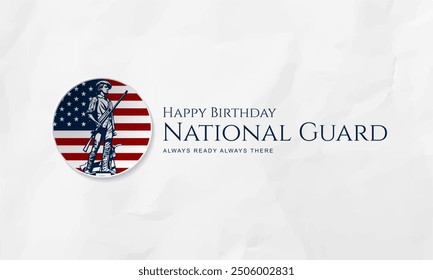
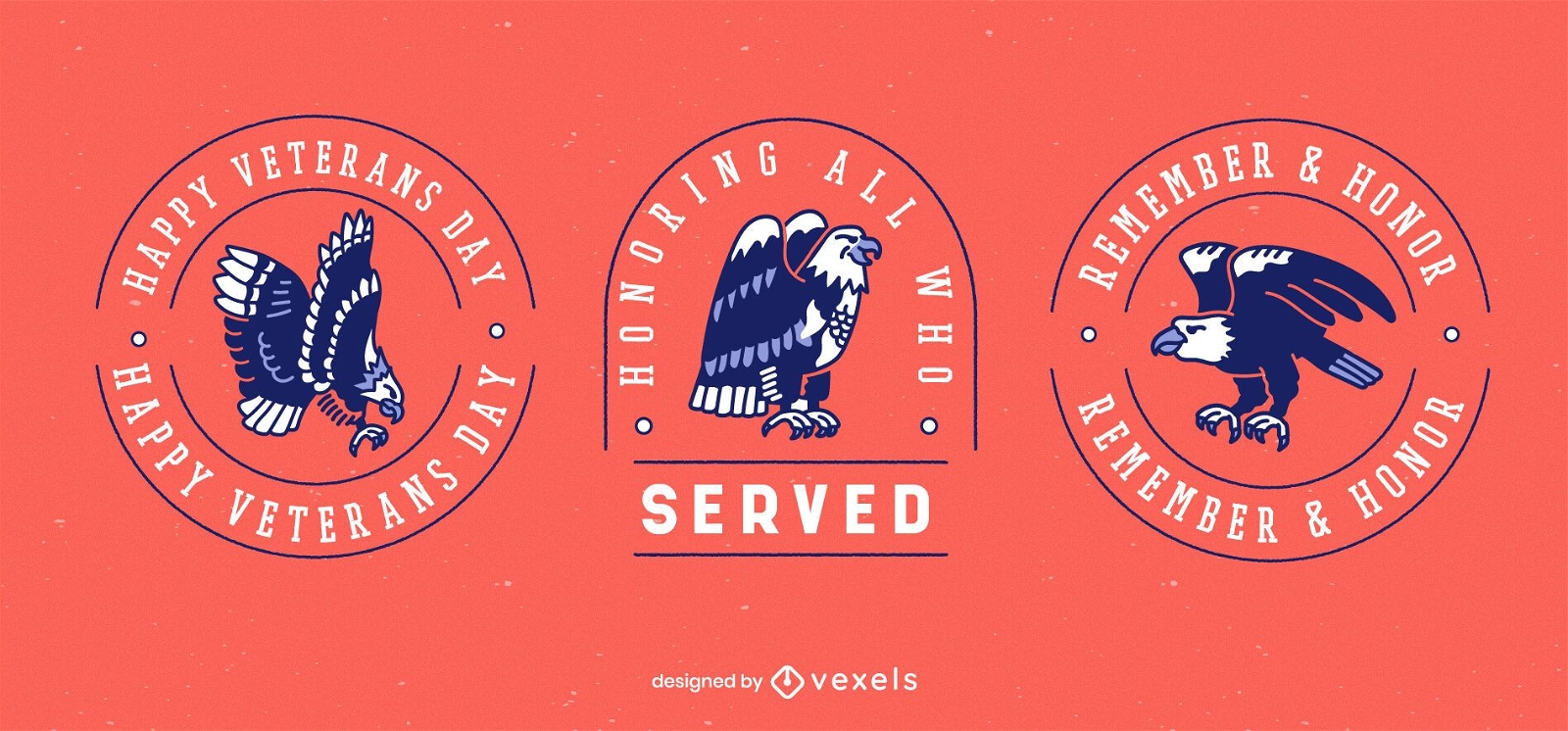
Conjunto de crachá de feriado do dia dos veteranos
Escolha uma pasta
Todos os favoritos
Criar novo
Salvar
Conjunto de crachá de feriado do dia dos veteranos
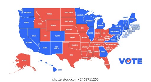
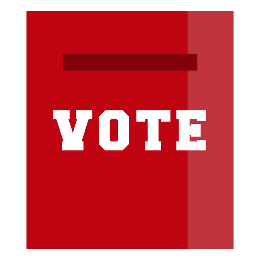
Design de eleições da página de votação Desenho PNG
Escolha uma pasta
Todos os favoritos
Criar novo
Salvar
Design de eleições da página de votação Desenho PNG
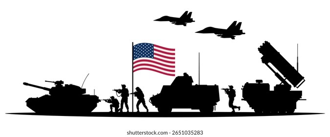
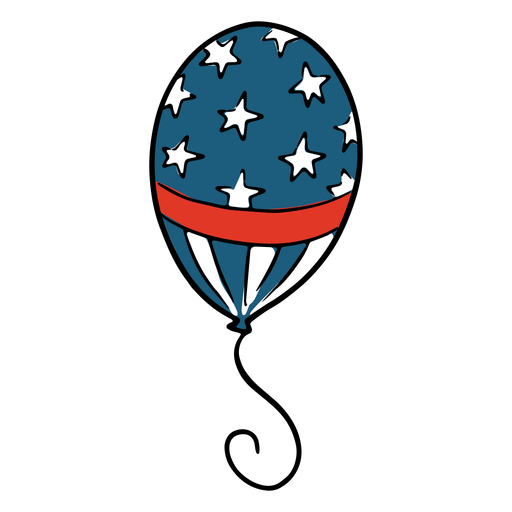
Balão americano Desenho PNG
Escolha uma pasta
Todos os favoritos
Criar novo
Salvar
Balão americano Desenho PNG
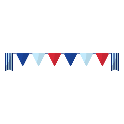
Elemento de banner flâmula de cores americanas Desenho PNG
Escolha uma pasta
Todos os favoritos
Criar novo
Salvar
Elemento de banner flâmula de cores americanas Desenho PNG
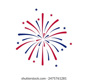
Elemento foguete de fogos de artifício listrado Desenho PNG
Escolha uma pasta
Todos os favoritos
Criar novo
Salvar
Elemento foguete de fogos de artifício listrado Desenho PNG
Pronto para imprimir
para Merch
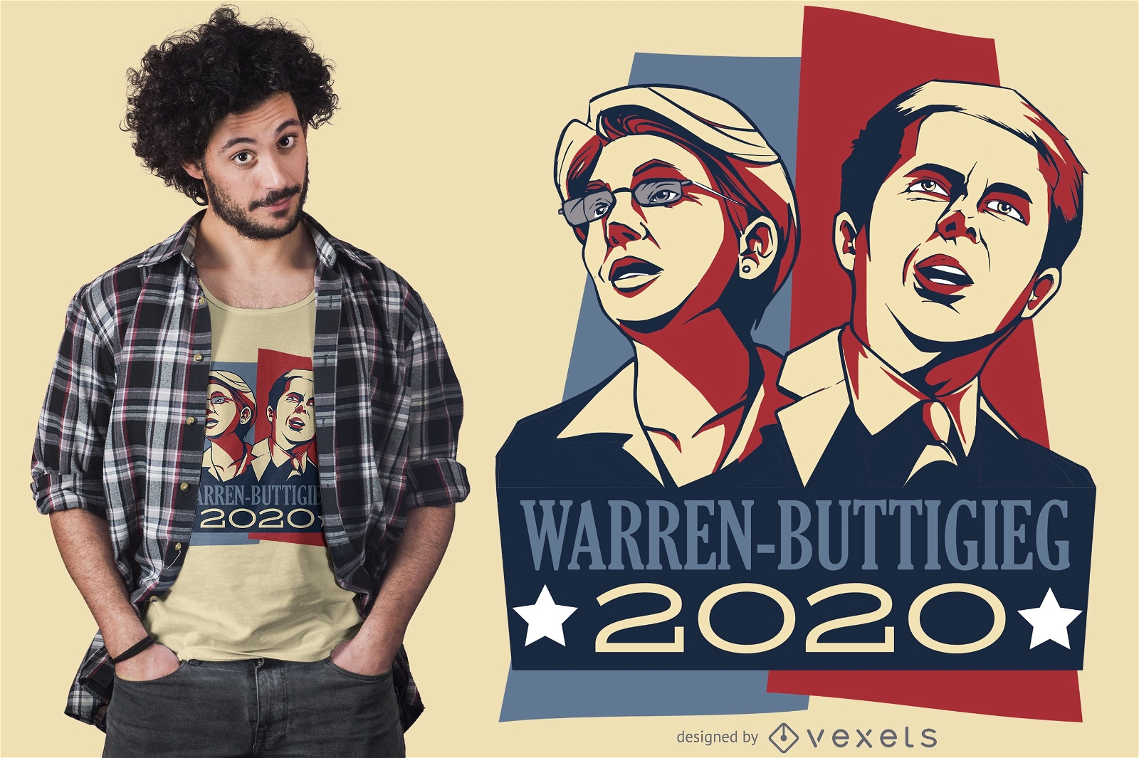
Warren Buttigieg Debate 2020 Design de camisetas
Escolha uma pasta
Todos os favoritos
Criar novo
Salvar
Warren Buttigieg Debate 2020 Design de camisetas
Premium
Ícone redondo do emblema da fita Desenho PNG
Escolha uma pasta
Todos os favoritos
Criar novo
Salvar
Ícone redondo do emblema da fita Desenho PNG
Origami dobrado bandeira EUA Desenho PNG
Escolha uma pasta
Todos os favoritos
Criar novo
Salvar
Origami dobrado bandeira EUA Desenho PNG
Impressão da bandeira dos EUA em tinta de pena Desenho PNG
Escolha uma pasta
Todos os favoritos
Criar novo
Salvar
Impressão da bandeira dos EUA em tinta de pena Desenho PNG
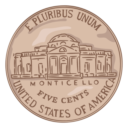
Ilustração de moeda rabo de níquel eua Desenho PNG
Escolha uma pasta
Todos os favoritos
Criar novo
Salvar
Ilustração de moeda rabo de níquel eua Desenho PNG
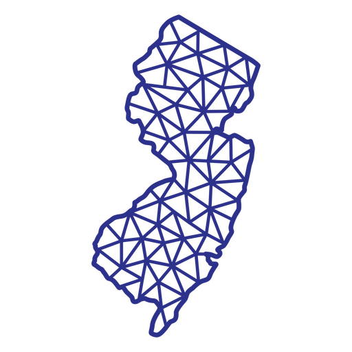
Mapa de Nova Jersey poligonal Desenho PNG
Escolha uma pasta
Todos os favoritos
Criar novo
Salvar
Mapa de Nova Jersey poligonal Desenho PNG
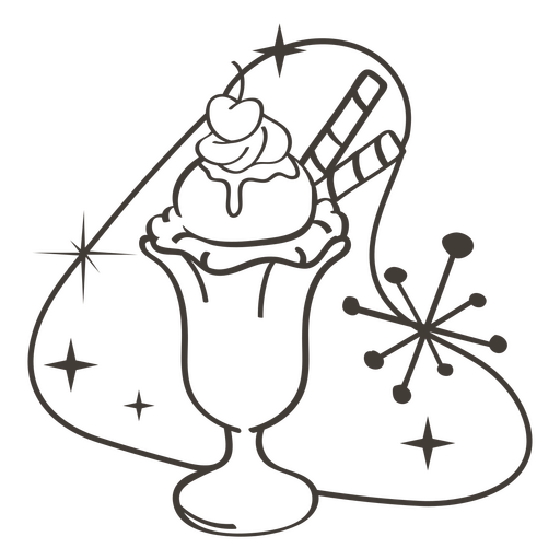
Deleites de comida de acidente vascular cerebral de sorvete Desenho PNG
Escolha uma pasta
Todos os favoritos
Criar novo
Salvar
Deleites de comida de acidente vascular cerebral de sorvete Desenho PNG
Delícias de comida de acidente vascular cerebral cheias de cupcake Desenho PNG
Escolha uma pasta
Todos os favoritos
Criar novo
Salvar
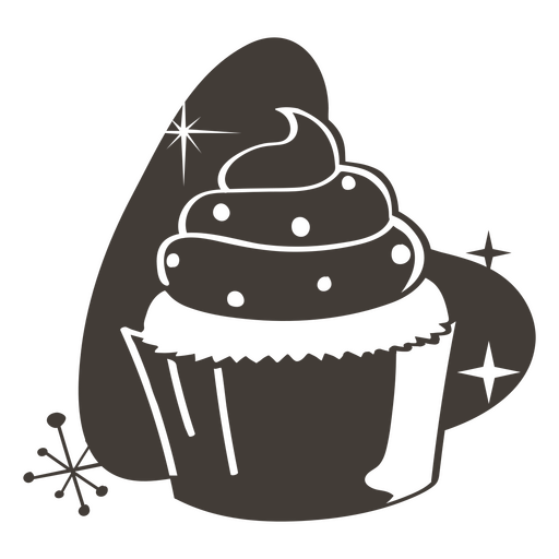
Delícias de comida de acidente vascular cerebral cheias de cupcake Desenho PNG
Deleites de comida de acidente vascular cerebral cheios de sorvete Desenho PNG
Escolha uma pasta
Todos os favoritos
Criar novo
Salvar
Deleites de comida de acidente vascular cerebral cheios de sorvete Desenho PNG
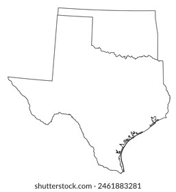
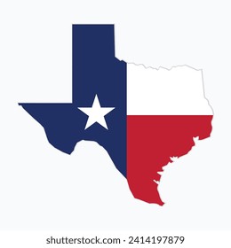
Mapa poligonal do estado do Texas Desenho PNG
Escolha uma pasta
Todos os favoritos
Criar novo
Salvar
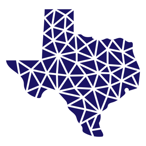
Mapa poligonal do estado do Texas Desenho PNG
Mapa poligonal do estado de Ohio Desenho PNG
Escolha uma pasta
Todos os favoritos
Criar novo
Salvar
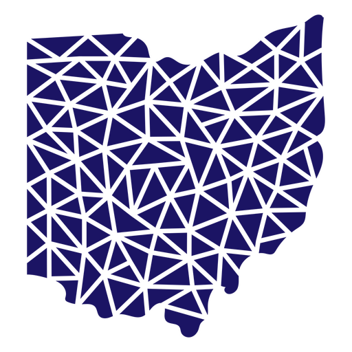
Mapa poligonal do estado de Ohio Desenho PNG
Mapa poligonal da Carolina do Norte Desenho PNG
Escolha uma pasta
Todos os favoritos
Criar novo
Salvar
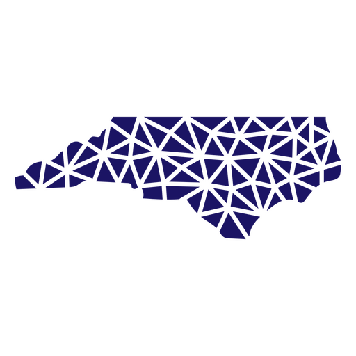
Mapa poligonal da Carolina do Norte Desenho PNG
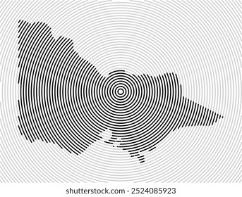
Mapa de acidente vascular cerebral do estado de Dakota do Norte Desenho PNG
Escolha uma pasta
Todos os favoritos
Criar novo
Salvar
Mapa de acidente vascular cerebral do estado de Dakota do Norte Desenho PNG
FourthofJuly-PhrasesUSAShape - 10 Desenho PNG
Escolha uma pasta
Todos os favoritos
Criar novo
Salvar
FourthofJuly-PhrasesUSAShape - 10 Desenho PNG
FourthOfJuly-Elements-VintageMetal - 0 Desenho PNG
Escolha uma pasta
Todos os favoritos
Criar novo
Salvar
FourthOfJuly-Elements-VintageMetal - 0 Desenho PNG
FourthofJuly-StarsandStripes-VintageEtchPrint-Stroke-CR - 0 Desenho PNG
Escolha uma pasta
Todos os favoritos
Criar novo
Salvar
FourthofJuly-StarsandStripes-VintageEtchPrint-Stroke-CR - 0 Desenho PNG
Pronto para imprimir
para Merch
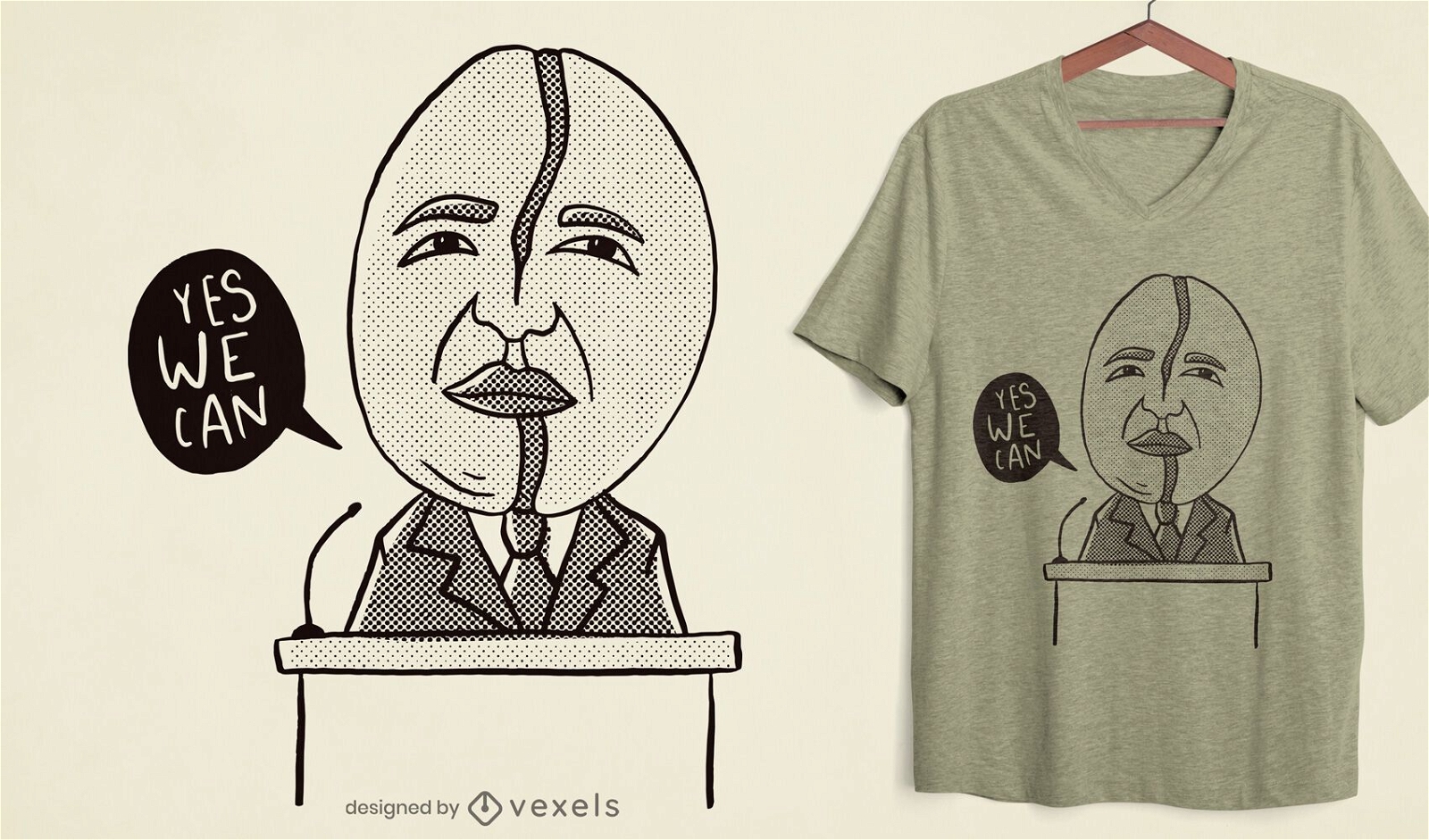
Design de t-shirt Obama em grão de café
Escolha uma pasta
Todos os favoritos
Criar novo
Salvar
Design de t-shirt Obama em grão de café
Premium
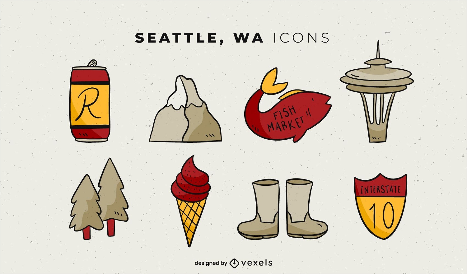
Pacote de elementos ilustrados de Seattle
Escolha uma pasta
Todos os favoritos
Criar novo
Salvar
Pacote de elementos ilustrados de Seattle
Elemento de balão azul patriótico Desenho PNG
Escolha uma pasta
Todos os favoritos
Criar novo
Salvar
Elemento de balão azul patriótico Desenho PNG
Premium
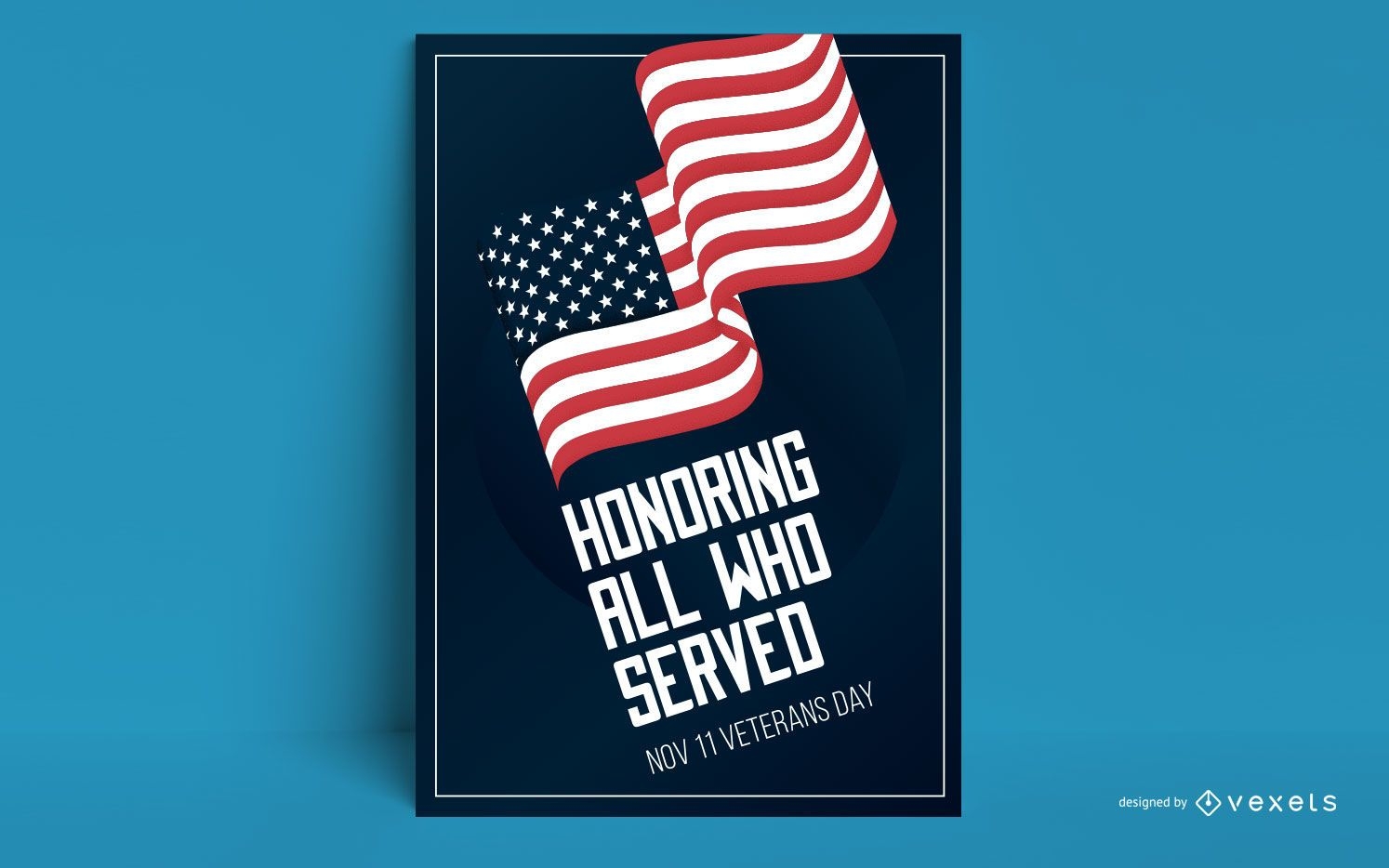
Projeto do cartaz da bandeira do Dia dos Veteranos
Escolha uma pasta
Todos os favoritos
Criar novo
Salvar
Projeto do cartaz da bandeira do Dia dos Veteranos
Premium
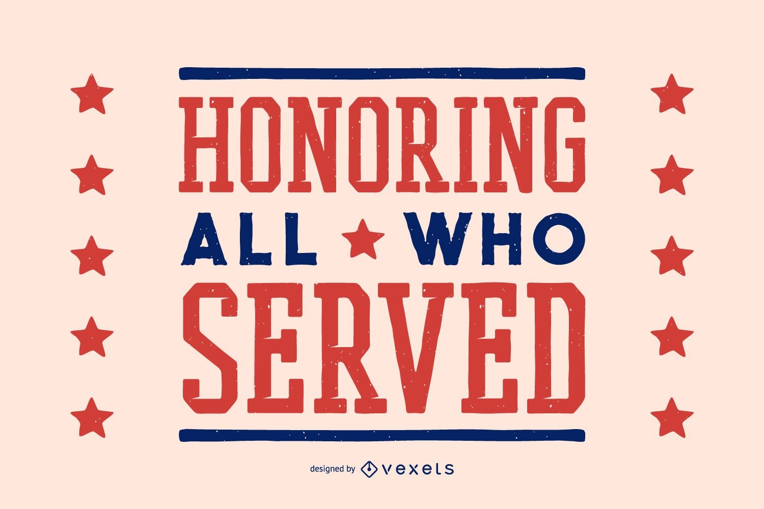
Homenageando o dia dos veteranos
Escolha uma pasta
Todos os favoritos
Criar novo
Salvar
Homenageando o dia dos veteranos
texto editável
Premium
Modelo de controle deslizante do dia dos veteranos
Escolha uma pasta
Todos os favoritos
Criar novo
Salvar
Modelo de controle deslizante do dia dos veteranos
Premium
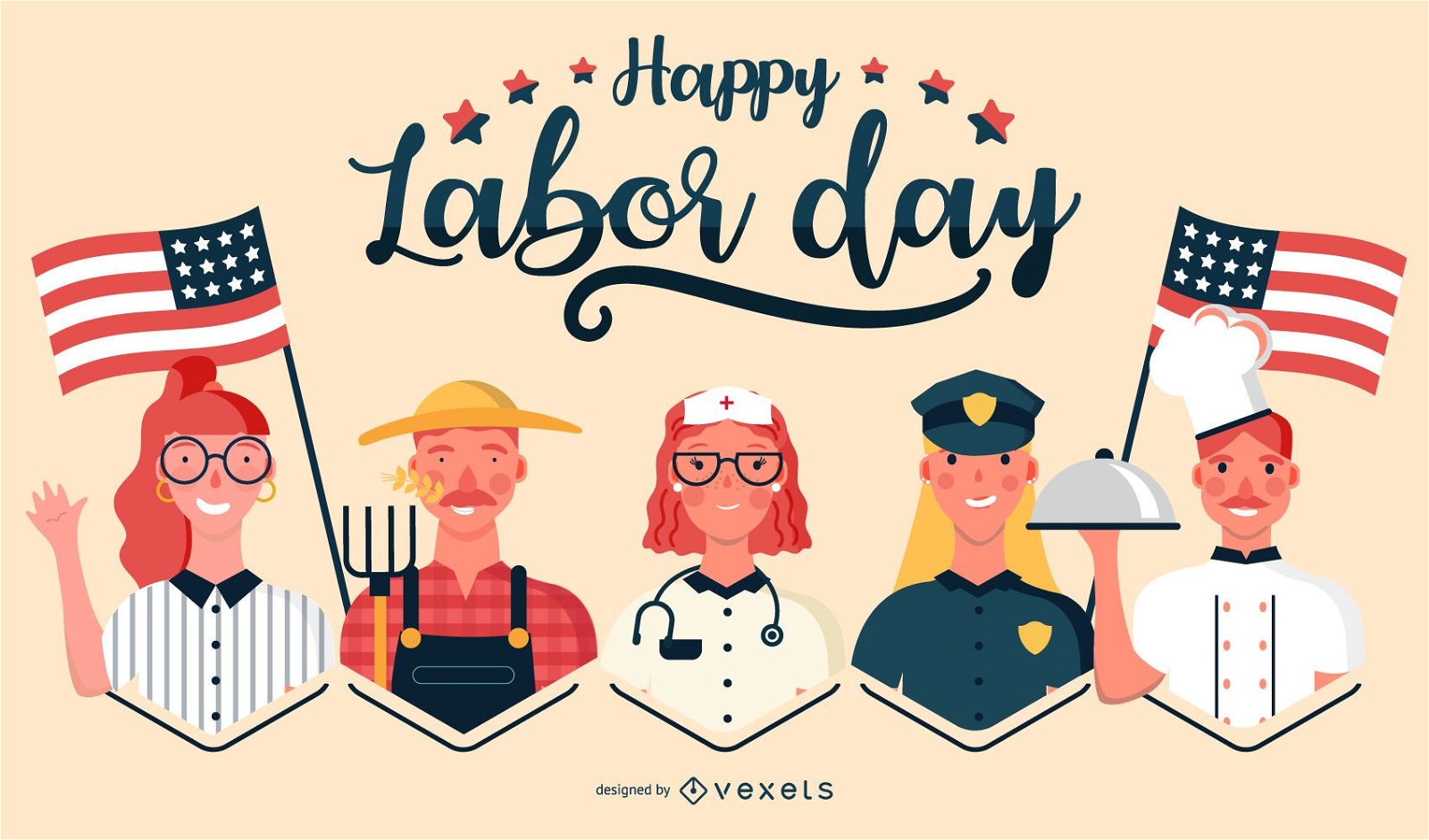
Ilustração de empregos felizes do dia do trabalho
Escolha uma pasta
Todos os favoritos
Criar novo
Salvar
Ilustração de empregos felizes do dia do trabalho
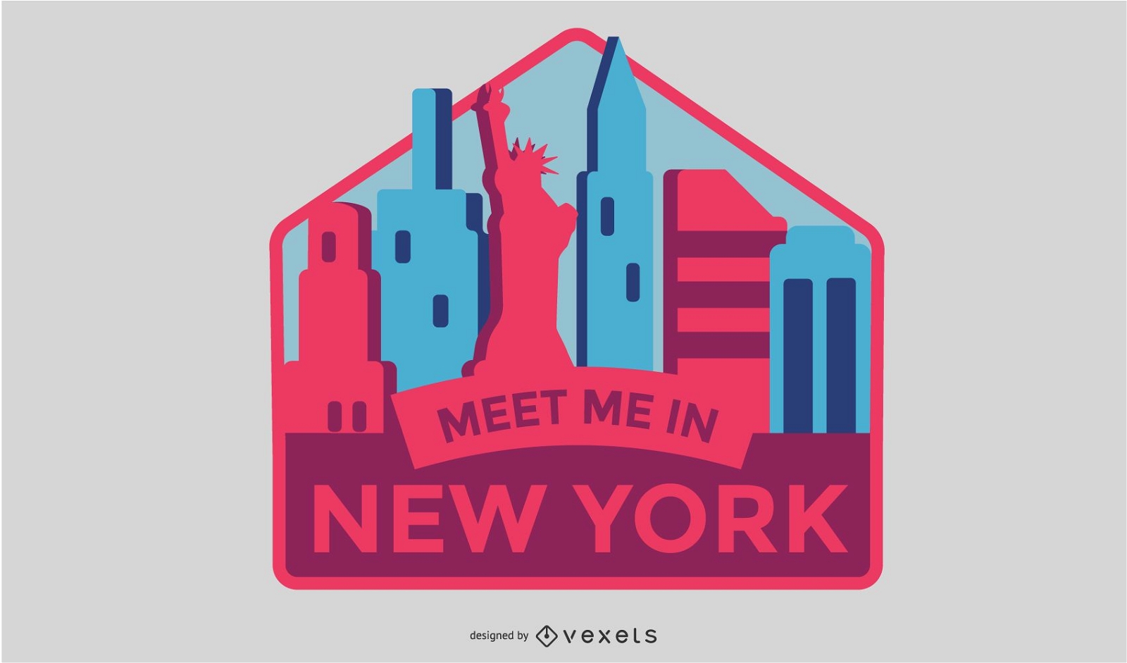
Design de emblemas de Nova York
Escolha uma pasta
Todos os favoritos
Criar novo
Salvar
Design de emblemas de Nova York
Premium
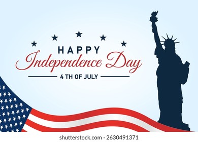
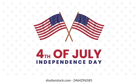
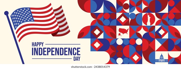
4 4 de julho dia da independência Desenho PNG
Escolha uma pasta
Todos os favoritos
Criar novo
Salvar
4 4 de julho dia da independência Desenho PNG
Premium
Emblema do emblema dos EUA Desenho PNG
Escolha uma pasta
Todos os favoritos
Criar novo
Salvar
Emblema do emblema dos EUA Desenho PNG
Premium
Ícone redondo do carro da polícia Desenho PNG
Escolha uma pasta
Todos os favoritos
Criar novo
Salvar
Ícone redondo do carro da polícia Desenho PNG
Premium
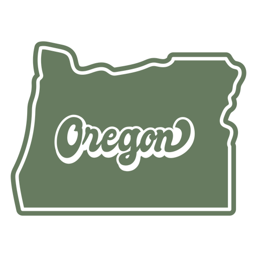
O estado de Oregon é mostrado em um fundo verde Desenho PNG
Escolha uma pasta
Todos os favoritos
Criar novo
Salvar
O estado de Oregon é mostrado em um fundo verde Desenho PNG
Pronto para imprimir
para Merch
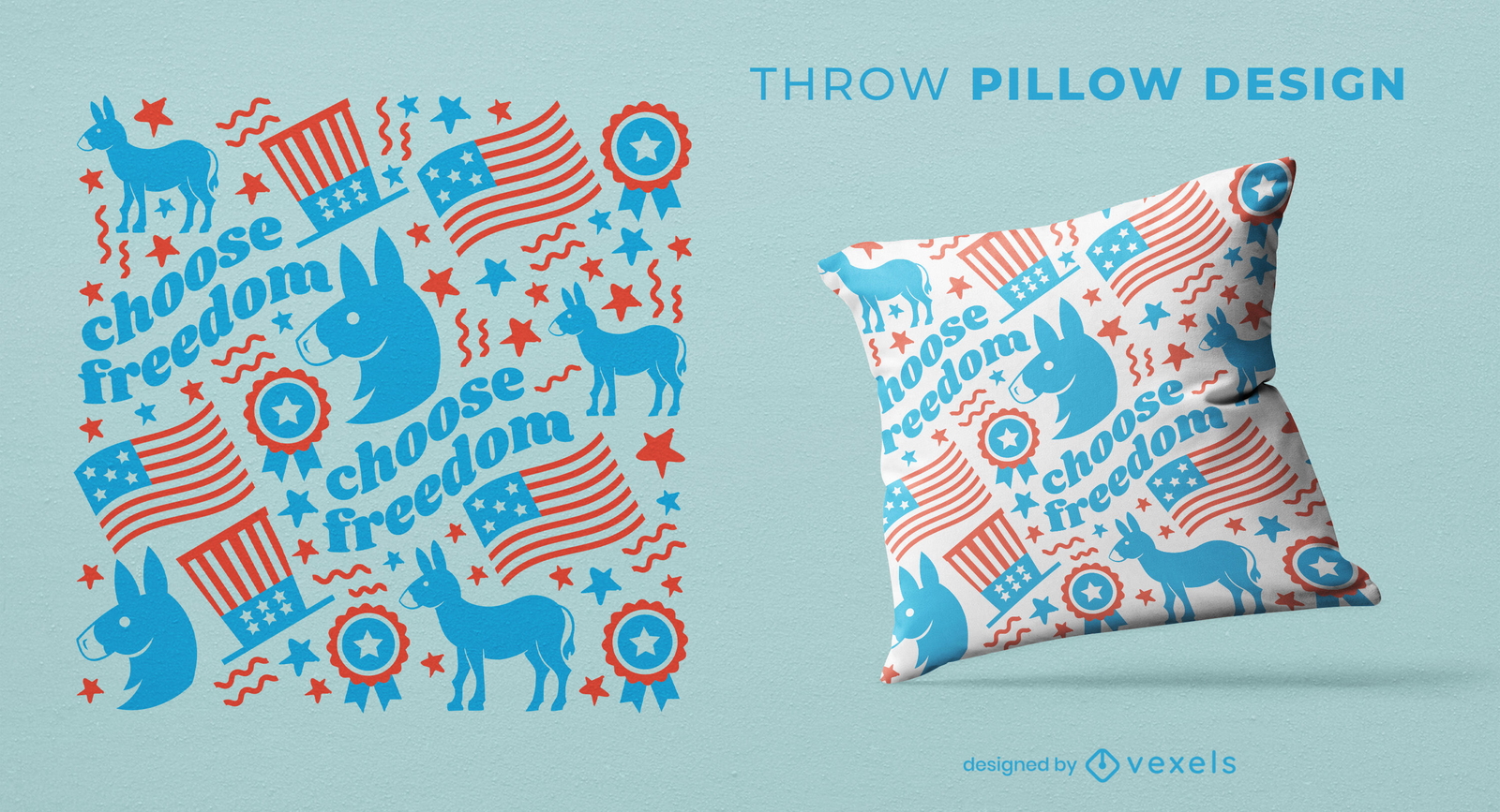
Design de almofada de lance padrão de burro democratas
Escolha uma pasta
Todos os favoritos
Criar novo
Salvar
Design de almofada de lance padrão de burro democratas
Impulsione seu negócio
Com a plataforma gráfica líder de mercado.
Ver planos
Próxima
do 49
prev page
next page