Biblioteca de design
Novos designs Merch
Camisetas
Vectores
Designs de Merch de Tendência
PNGs & SVGs
Mockups
Modelos de T-Shirt PSD
Explorar Desenhos
Designs KDP
Pôsteres
Canecas
Capas para celular
Sacos de compras
Almofadas
Ferramentas de desenho
Merch Designer
Novo!
Mockup Generator
Gerador de Design de AI
Vetorizador
Quote Generator
T-Shirt Maker (Antigo)
Ajuda
Merch Digest
Blog
Centro de Ajuda
Saiba mais sobre o Merch
Feedback
Soluções Corporativas
Empresa
Acesso à API
Estúdio de Design
Design em Lote
Preços
Carregando...
Inscrever-se
Conecte-se
All
states
Biblioteca de design
Novos designs Merch
Camisetas
Vectores
Designs de Merch de Tendência
PNGs & SVGs
Mockups
Modelos de T-Shirt PSD
Explorar Desenhos
Designs KDP
Pôsteres
Canecas
Capas para celular
Sacos de compras
Almofadas
Ferramentas de desenho
Merch Designer
Novo!
Mockup Generator
Gerador de Design de AI
Vetorizador
Quote Generator
T-Shirt Maker (Antigo)
Ajuda
Merch Digest
Blog
Centro de Ajuda
Saiba mais sobre o Merch
Feedback
Soluções Corporativas
Empresa
Acesso à API
Estúdio de Design
Design em Lote
PLANOS
All
states
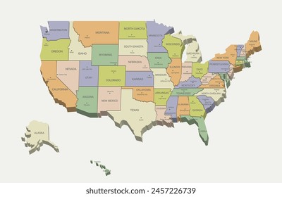
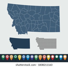
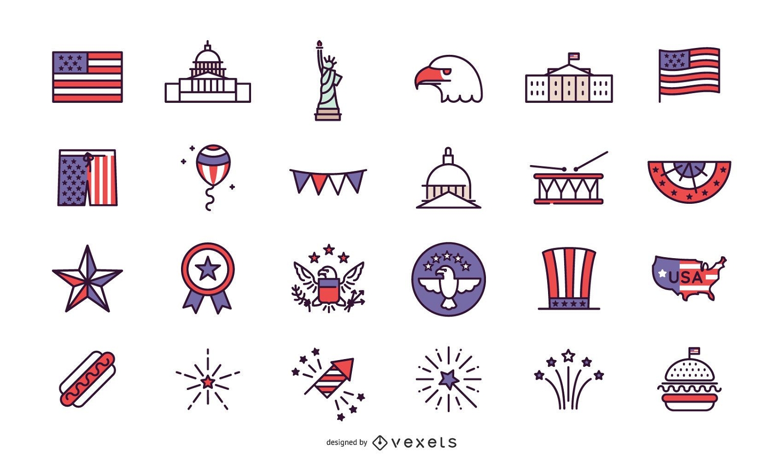
2440 Gráficos e Designs de states para Camisetas e Merch print on demand
Baixar designs de camisetas e para merch, como capas de livro, capas de celular, tote bags e mais de states
Relacionado:
estados unidos
,
estados
,
bandeira dos estados unidos
Ordenar por
Mais relevante
Resultados patrocinados da
Ganhe 15% de desconto com o código: VEXELS15
veja mais detalhes
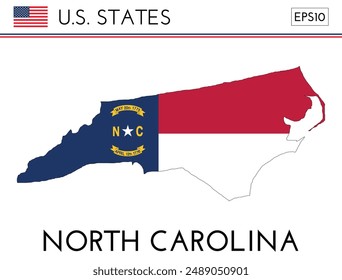
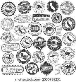
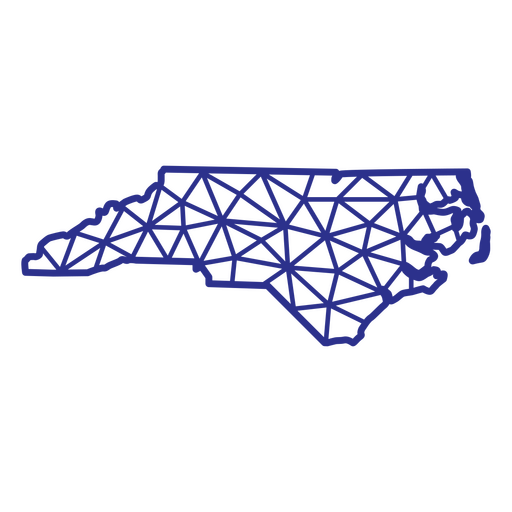
Carolina do Norte mapa poligonal Desenho PNG
Escolha uma pasta
Todos os favoritos
Criar novo
Salvar
Carolina do Norte mapa poligonal Desenho PNG
Doces de comida de acidente vascular cerebral de algodão doce Desenho PNG
Escolha uma pasta
Todos os favoritos
Criar novo
Salvar
Doces de comida de acidente vascular cerebral de algodão doce Desenho PNG
Comida de acidente vascular cerebral cheia de bolo trata fatia Desenho PNG
Escolha uma pasta
Todos os favoritos
Criar novo
Salvar
Comida de acidente vascular cerebral cheia de bolo trata fatia Desenho PNG
FourthOfJuly-StarsAndStripes-DetailedRealisticSilhouette-CR - 26 Desenho PNG
Escolha uma pasta
Todos os favoritos
Criar novo
Salvar
FourthOfJuly-StarsAndStripes-DetailedRealisticSilhouette-CR - 26 Desenho PNG
FourthofJuly-PhrasesUSAShape - 11 Desenho PNG
Escolha uma pasta
Todos os favoritos
Criar novo
Salvar
FourthofJuly-PhrasesUSAShape - 11 Desenho PNG
FourthOfJuly-StarsAndStripes-DetailedRealisticSilhouette-CR - 20 Desenho PNG
Escolha uma pasta
Todos os favoritos
Criar novo
Salvar
FourthOfJuly-StarsAndStripes-DetailedRealisticSilhouette-CR - 20 Desenho PNG
FourthOfJuly-Elements-VintageMetal - 28 Desenho PNG
Escolha uma pasta
Todos os favoritos
Criar novo
Salvar
FourthOfJuly-Elements-VintageMetal - 28 Desenho PNG
FourthOfJuly-Elements-VintageMetal - 33 Desenho PNG
Escolha uma pasta
Todos os favoritos
Criar novo
Salvar
FourthOfJuly-Elements-VintageMetal - 33 Desenho PNG
Pronto para imprimir
Premium
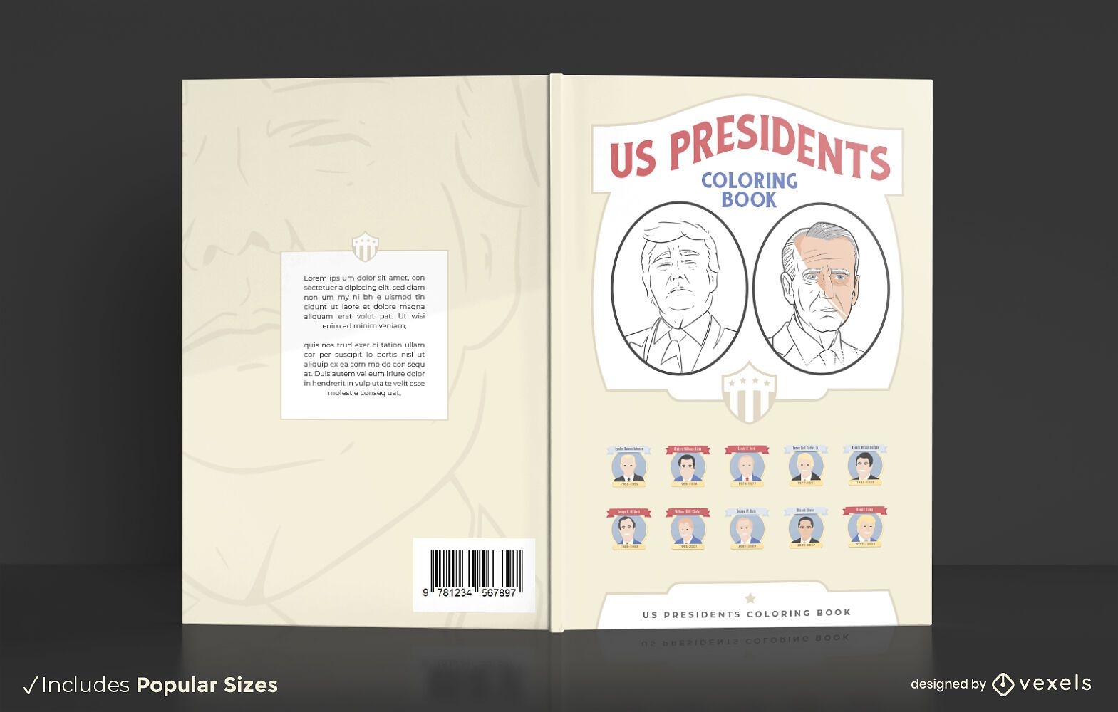
Projeto da capa do livro para colorir dos presidentes dos EUA
Escolha uma pasta
Todos os favoritos
Criar novo
Salvar
Projeto da capa do livro para colorir dos presidentes dos EUA
Premium
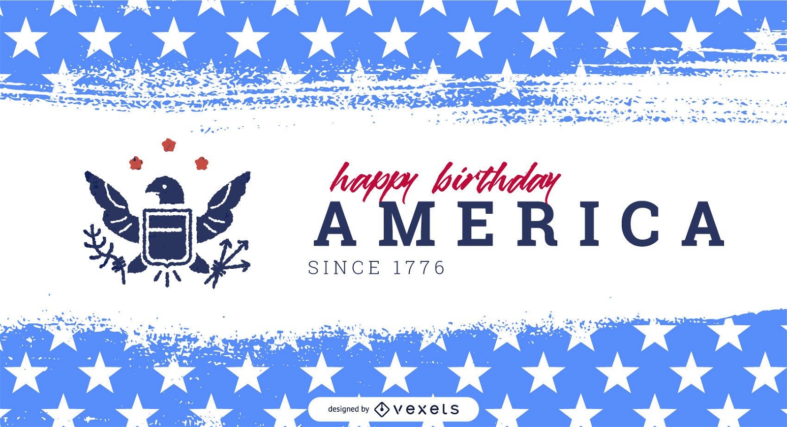
Modelo de controle deslizante do dia da independência da América
Escolha uma pasta
Todos os favoritos
Criar novo
Salvar
Modelo de controle deslizante do dia da independência da América
Premium
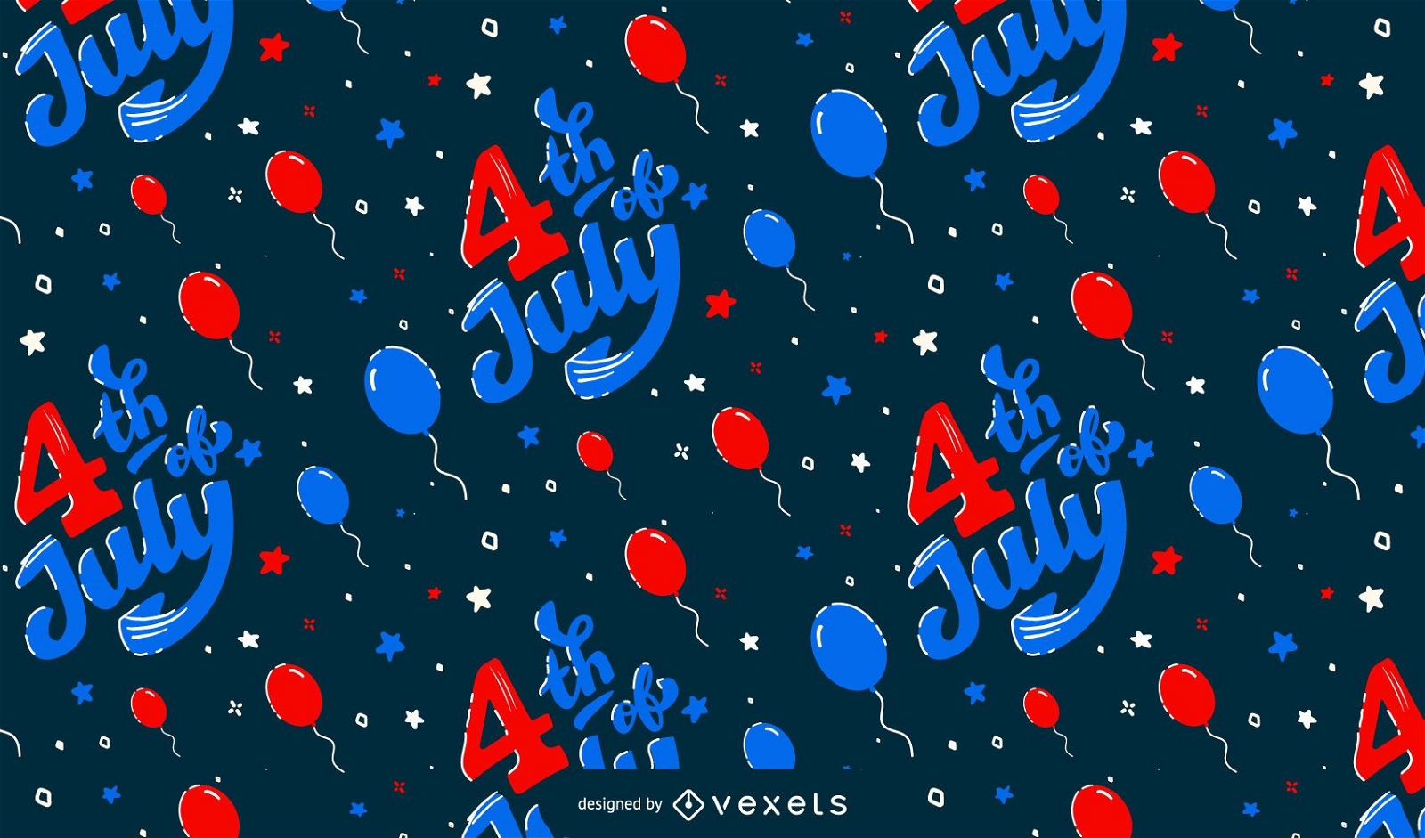
Projeto de padrão de balões de 4 de julho
Escolha uma pasta
Todos os favoritos
Criar novo
Salvar
Projeto de padrão de balões de 4 de julho
Premium
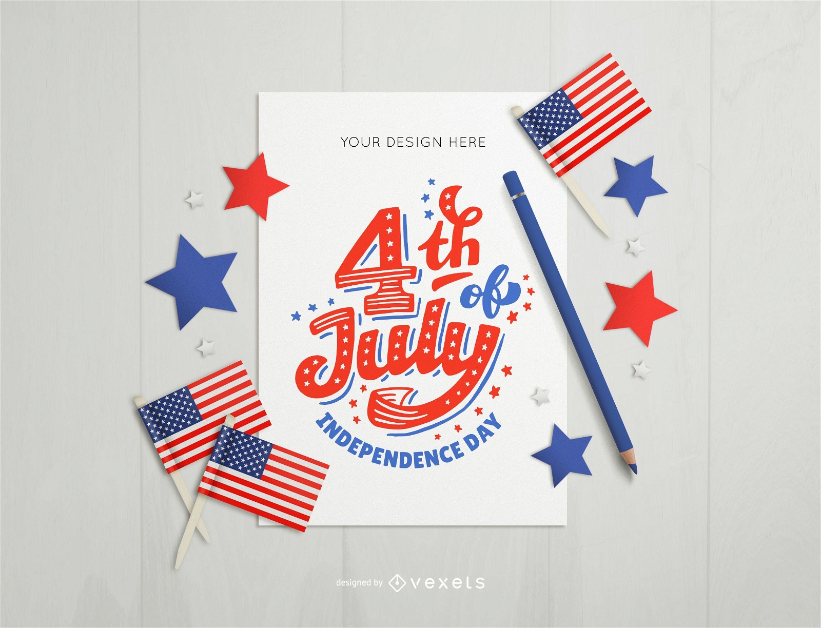
4 de julho composição de maquete de cartão
Escolha uma pasta
Todos os favoritos
Criar novo
Salvar
4 de julho composição de maquete de cartão
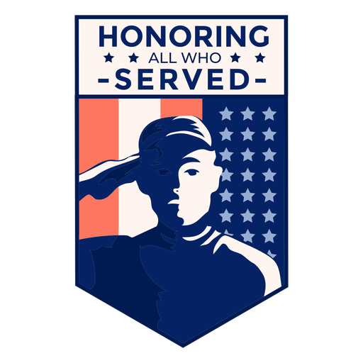
Distintivo de bandeira dos EUA veterano de honra Desenho PNG
Escolha uma pasta
Todos os favoritos
Criar novo
Salvar
Distintivo de bandeira dos EUA veterano de honra Desenho PNG
Ícone plano do emblema de estrela do xerife Desenho PNG
Escolha uma pasta
Todos os favoritos
Criar novo
Salvar
Ícone plano do emblema de estrela do xerife Desenho PNG
Derrame eua casa branca Desenho PNG
Escolha uma pasta
Todos os favoritos
Criar novo
Salvar
Derrame eua casa branca Desenho PNG
Elemento de bandeira americana Desenho PNG
Escolha uma pasta
Todos os favoritos
Criar novo
Salvar
Elemento de bandeira americana Desenho PNG
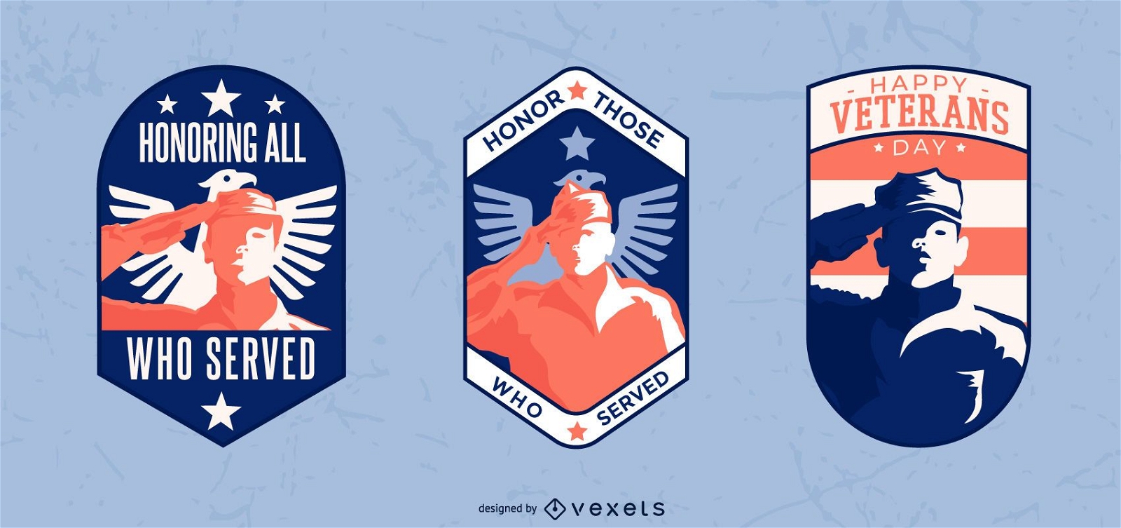
Conjunto de crachá de veteranos
Escolha uma pasta
Todos os favoritos
Criar novo
Salvar
Conjunto de crachá de veteranos
Premium
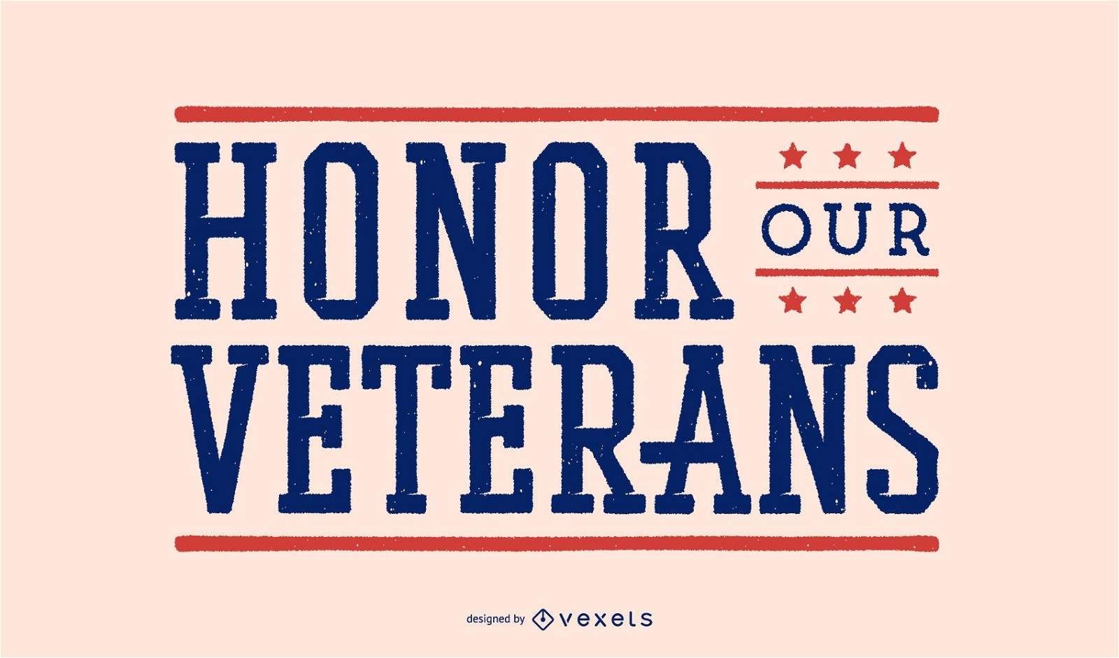
Honre o design de letras de nossos veteranos
Escolha uma pasta
Todos os favoritos
Criar novo
Salvar
Honre o design de letras de nossos veteranos
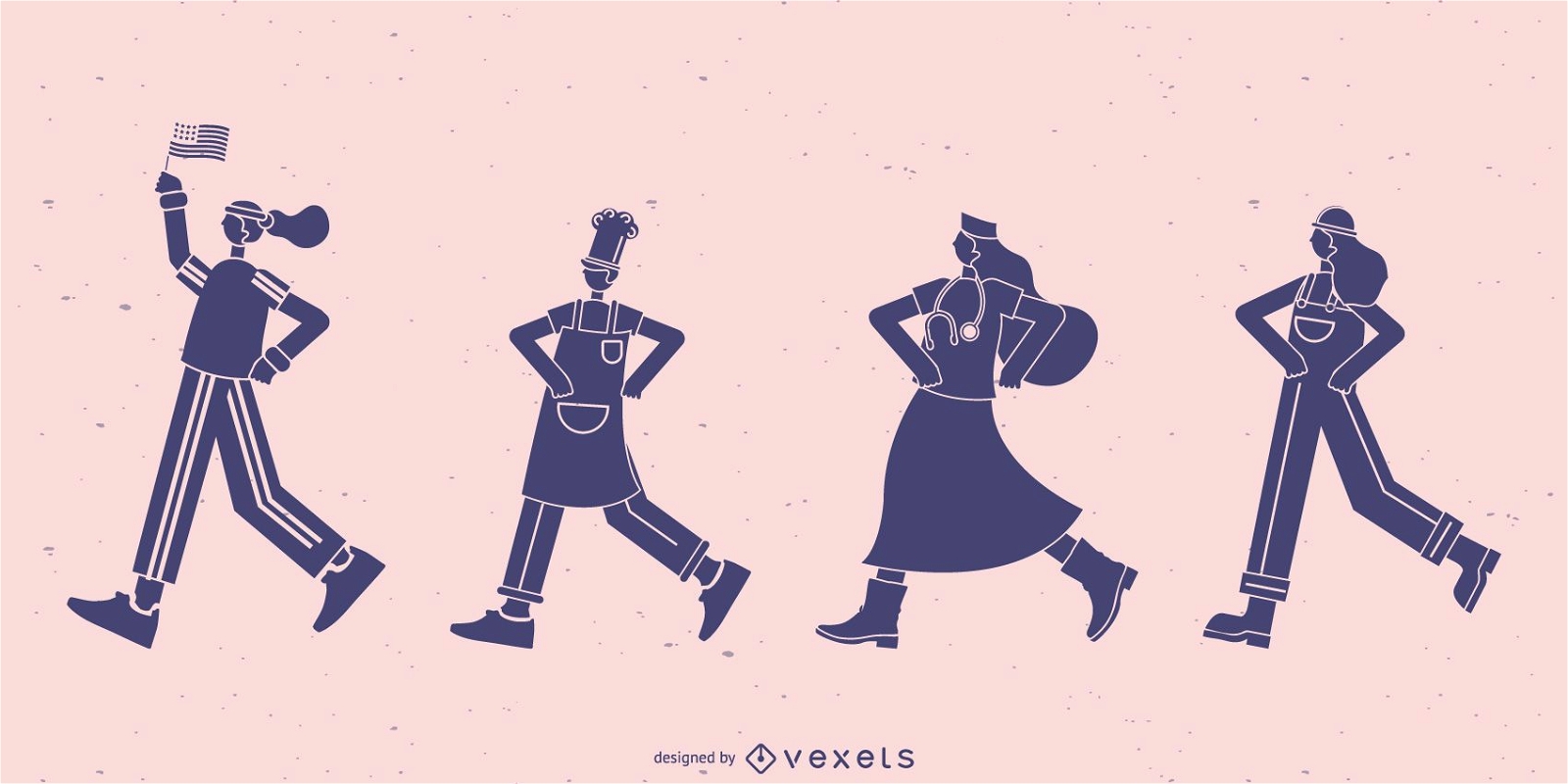
Conjunto de silhueta de trabalhadores caminhando
Escolha uma pasta
Todos os favoritos
Criar novo
Salvar
Conjunto de silhueta de trabalhadores caminhando
Premium
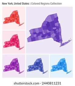
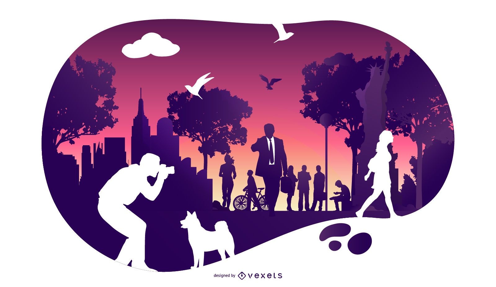
Arte do horizonte de Nova York
Escolha uma pasta
Todos os favoritos
Criar novo
Salvar
Arte do horizonte de Nova York
Premium
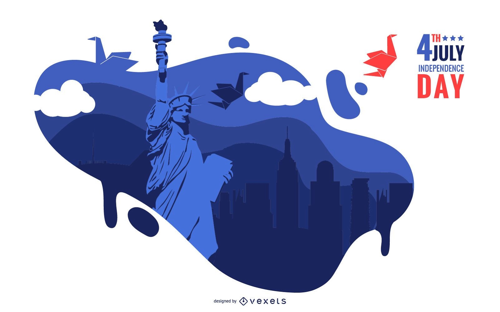
4 de julho ilustração
Escolha uma pasta
Todos os favoritos
Criar novo
Salvar
4 de julho ilustração
Premium
Ícone redondo de batata frita Desenho PNG
Escolha uma pasta
Todos os favoritos
Criar novo
Salvar
Ícone redondo de batata frita Desenho PNG
Bola de rugby vermelha azul Desenho PNG
Escolha uma pasta
Todos os favoritos
Criar novo
Salvar
Bola de rugby vermelha azul Desenho PNG
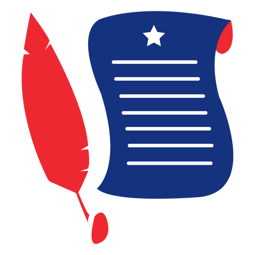
Quill manuscript usa print Desenho PNG
Escolha uma pasta
Todos os favoritos
Criar novo
Salvar
Quill manuscript usa print Desenho PNG
Abóbora azul vermelha Desenho PNG
Escolha uma pasta
Todos os favoritos
Criar novo
Salvar
Abóbora azul vermelha Desenho PNG
Fita de seta de bandeira dos EUA Desenho PNG
Escolha uma pasta
Todos os favoritos
Criar novo
Salvar
Fita de seta de bandeira dos EUA Desenho PNG
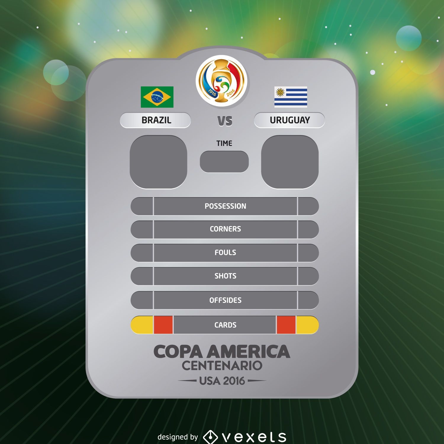
Resultado do jogo da Copa América
Escolha uma pasta
Todos os favoritos
Criar novo
Salvar
Resultado do jogo da Copa América
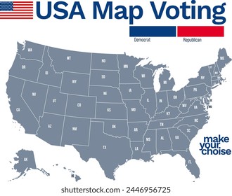
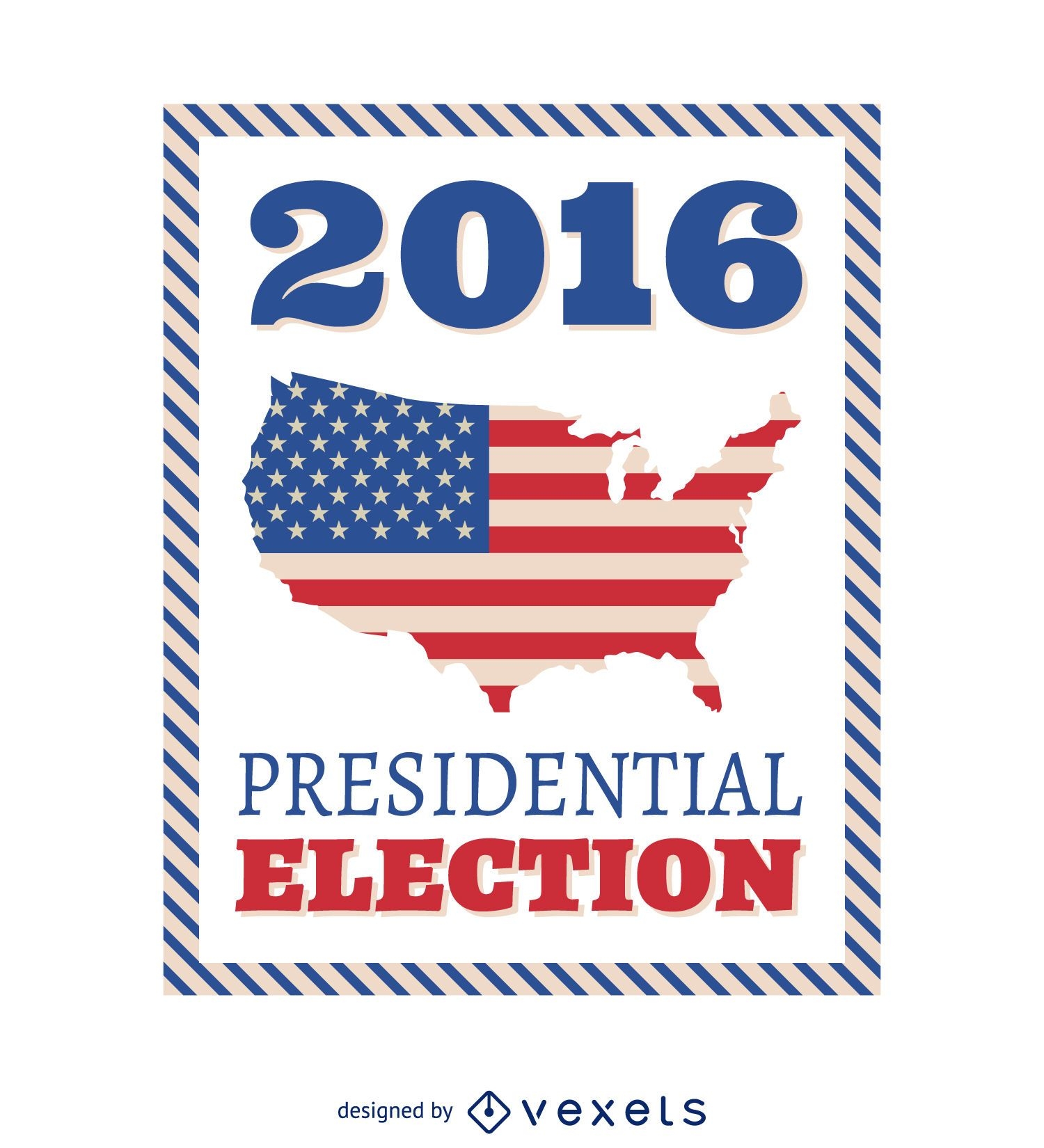
Quadro de eleições presidenciais dos EUA de 2016
Escolha uma pasta
Todos os favoritos
Criar novo
Salvar
Quadro de eleições presidenciais dos EUA de 2016
Premium
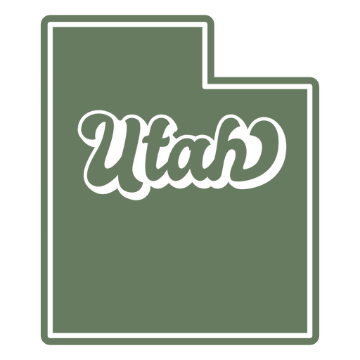
O estado de Utah com a palavra Utah nele Desenho PNG
Escolha uma pasta
Todos os favoritos
Criar novo
Salvar
O estado de Utah com a palavra Utah nele Desenho PNG
Premium
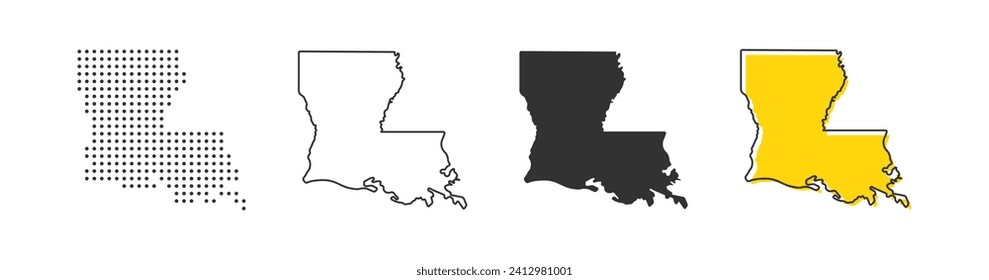
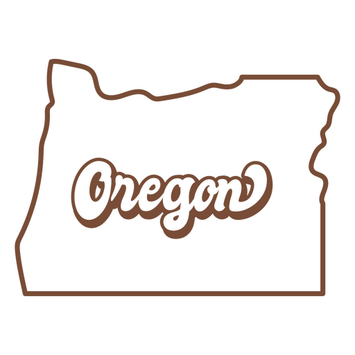
O mapa do estado de Oregon em marrom Desenho PNG
Escolha uma pasta
Todos os favoritos
Criar novo
Salvar
O mapa do estado de Oregon em marrom Desenho PNG
Atire moeda de centavos dos EUA Desenho PNG
Escolha uma pasta
Todos os favoritos
Criar novo
Salvar
Atire moeda de centavos dos EUA Desenho PNG
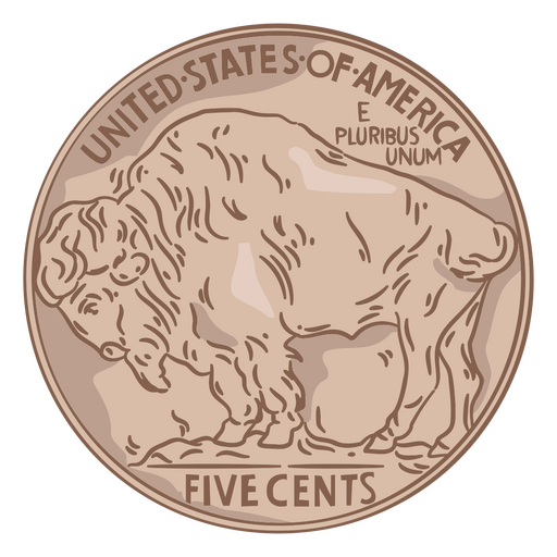
Ilustração de moeda cauda de búfalo eua Desenho PNG
Escolha uma pasta
Todos os favoritos
Criar novo
Salvar
Ilustração de moeda cauda de búfalo eua Desenho PNG
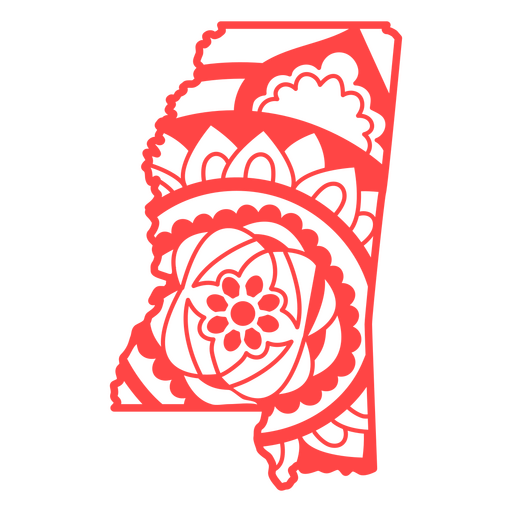
Mandala do mapa do Missisipi Desenho PNG
Escolha uma pasta
Todos os favoritos
Criar novo
Salvar
Mandala do mapa do Missisipi Desenho PNG
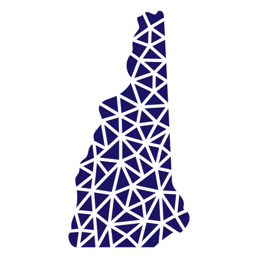
Mapa poligonal de New Hampshire Desenho PNG
Escolha uma pasta
Todos os favoritos
Criar novo
Salvar
Mapa poligonal de New Hampshire Desenho PNG
FourthOfJuly-StarsAndStripes-DetailedRealisticSilhouette-CR - 24 Desenho PNG
Escolha uma pasta
Todos os favoritos
Criar novo
Salvar
FourthOfJuly-StarsAndStripes-DetailedRealisticSilhouette-CR - 24 Desenho PNG
FourthofJuly-PhrasesUSAShape - 2 Desenho PNG
Escolha uma pasta
Todos os favoritos
Criar novo
Salvar
FourthofJuly-PhrasesUSAShape - 2 Desenho PNG
FourthofJuly-StarsandStripes-VintageEtchPrint-Vinyl-CR - 2 Desenho PNG
Escolha uma pasta
Todos os favoritos
Criar novo
Salvar
FourthofJuly-StarsandStripes-VintageEtchPrint-Vinyl-CR - 2 Desenho PNG
Premium
Coleção de derrames do dia da independência
Escolha uma pasta
Todos os favoritos
Criar novo
Salvar
Coleção de derrames do dia da independência
Premium
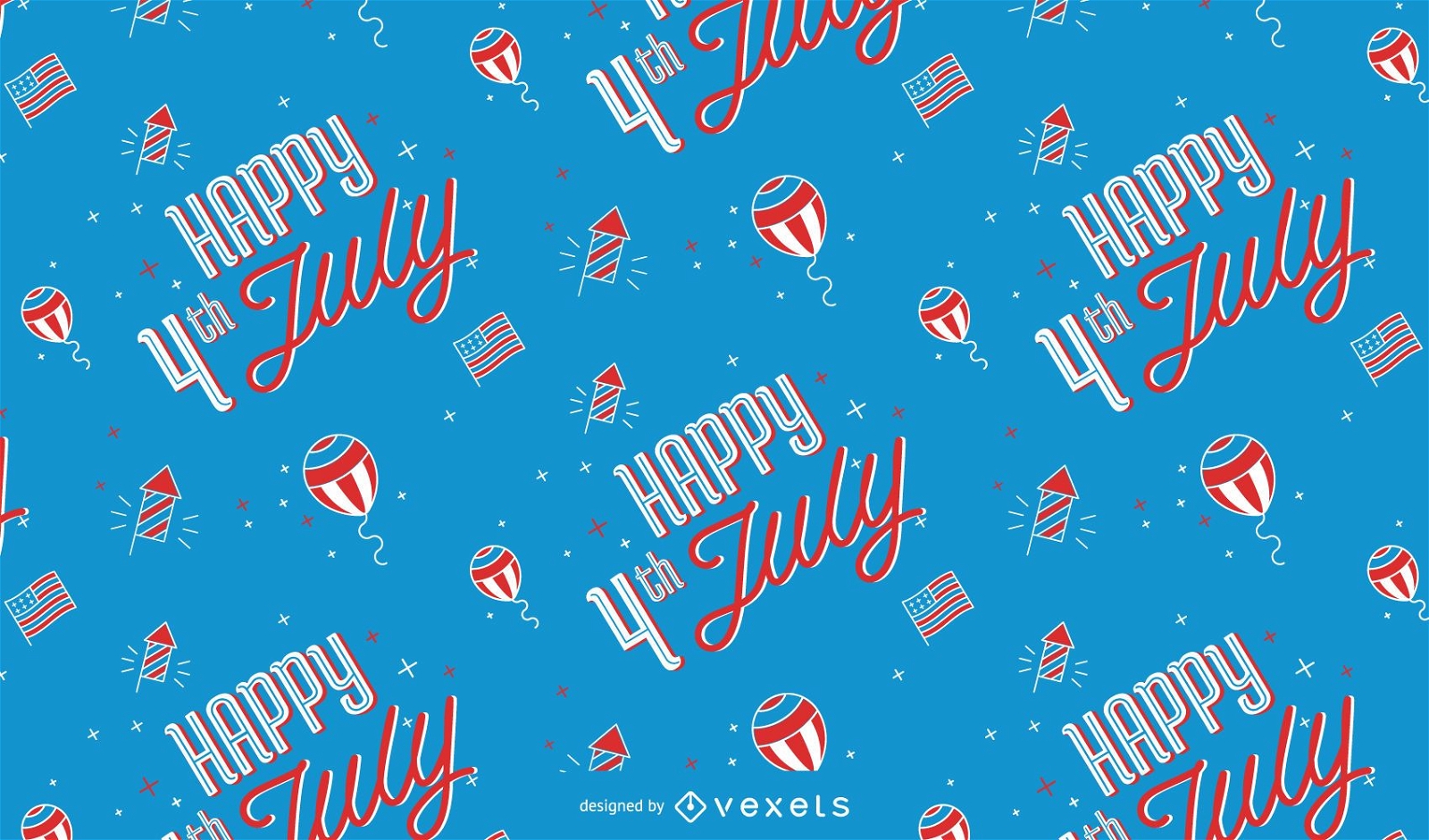
Feliz 4 de julho design de padrão
Escolha uma pasta
Todos os favoritos
Criar novo
Salvar
Feliz 4 de julho design de padrão
Projeto de distintivo colorido do Dia da Independência Desenho PNG
Escolha uma pasta
Todos os favoritos
Criar novo
Salvar
Projeto de distintivo colorido do Dia da Independência Desenho PNG
Ícone plano de bola de futebol americano Desenho PNG
Escolha uma pasta
Todos os favoritos
Criar novo
Salvar
Ícone plano de bola de futebol americano Desenho PNG
Ícone plano de bolsa de dinheiro Desenho PNG
Escolha uma pasta
Todos os favoritos
Criar novo
Salvar
Ícone plano de bolsa de dinheiro Desenho PNG
Ícone plano do copo de refrigerante Desenho PNG
Escolha uma pasta
Todos os favoritos
Criar novo
Salvar
Ícone plano do copo de refrigerante Desenho PNG
Traço de águia americana Desenho PNG
Escolha uma pasta
Todos os favoritos
Criar novo
Salvar
Traço de águia americana Desenho PNG
Chapéu americano patriótico desenhado à mão Desenho PNG
Escolha uma pasta
Todos os favoritos
Criar novo
Salvar
Chapéu americano patriótico desenhado à mão Desenho PNG
Bandeirola vermelha Desenho PNG
Escolha uma pasta
Todos os favoritos
Criar novo
Salvar
Bandeirola vermelha Desenho PNG
Elemento foguete de fogos de artifício 3 estrelas Desenho PNG
Escolha uma pasta
Todos os favoritos
Criar novo
Salvar
Elemento foguete de fogos de artifício 3 estrelas Desenho PNG
Elemento de explosão de fogos de artifício patrióticos Desenho PNG
Escolha uma pasta
Todos os favoritos
Criar novo
Salvar
Elemento de explosão de fogos de artifício patrióticos Desenho PNG
Premium
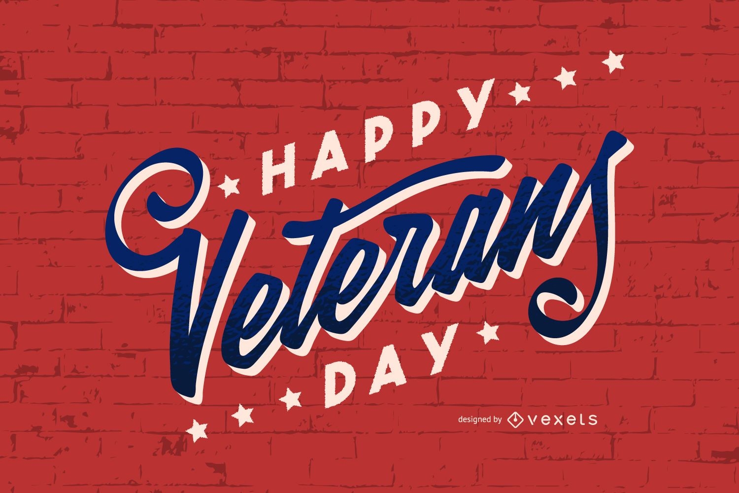
Projeto de letras do dia dos veteranos
Escolha uma pasta
Todos os favoritos
Criar novo
Salvar
Projeto de letras do dia dos veteranos
texto editável
Premium
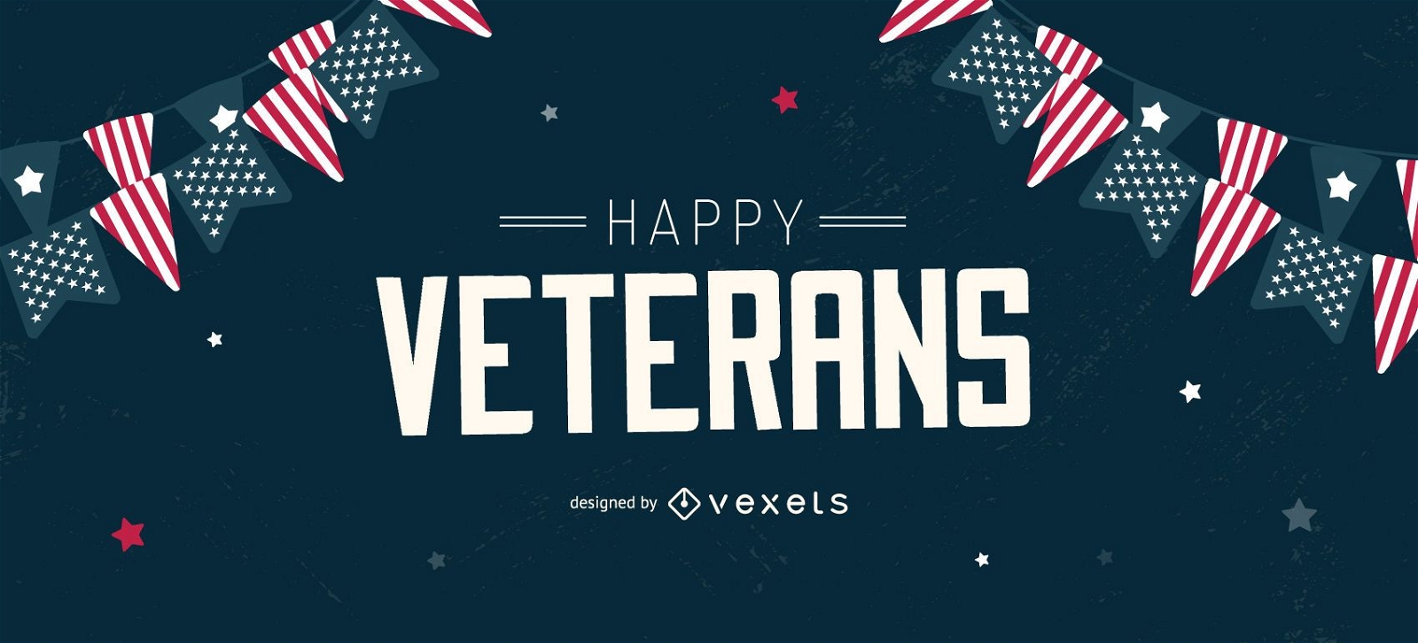
Happy veterans design de controle deslizante editável
Escolha uma pasta
Todos os favoritos
Criar novo
Salvar
Happy veterans design de controle deslizante editável
Impulsione seu negócio
Com a plataforma gráfica líder de mercado.
Ver planos
Próxima
do 49
prev page
next page