Biblioteca de design
Novos designs Merch
Camisetas
Vectores
Designs de Merch de Tendência
PNGs & SVGs
Mockups
Modelos de T-Shirt PSD
Explorar Desenhos
Designs KDP
Pôsteres
Canecas
Capas para celular
Sacos de compras
Almofadas
Ferramentas de desenho
Merch Designer
Novo!
Mockup Generator
Gerador de Design de AI
Vetorizador
Quote Generator
T-Shirt Maker (Antigo)
Ajuda
Merch Digest
Blog
Centro de Ajuda
Saiba mais sobre o Merch
Feedback
Soluções Corporativas
Empresa
Acesso à API
Estúdio de Design
Design em Lote
Preços
Carregando...
Inscrever-se
Conecte-se
All
united
states
of
america
Biblioteca de design
Novos designs Merch
Camisetas
Vectores
Designs de Merch de Tendência
PNGs & SVGs
Mockups
Modelos de T-Shirt PSD
Explorar Desenhos
Designs KDP
Pôsteres
Canecas
Capas para celular
Sacos de compras
Almofadas
Ferramentas de desenho
Merch Designer
Novo!
Mockup Generator
Gerador de Design de AI
Vetorizador
Quote Generator
T-Shirt Maker (Antigo)
Ajuda
Merch Digest
Blog
Centro de Ajuda
Saiba mais sobre o Merch
Feedback
Soluções Corporativas
Empresa
Acesso à API
Estúdio de Design
Design em Lote
PLANOS
All
united
states
of
america
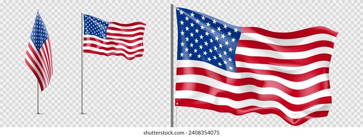
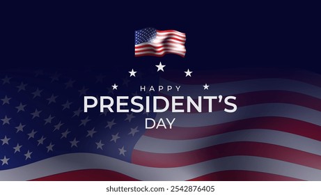
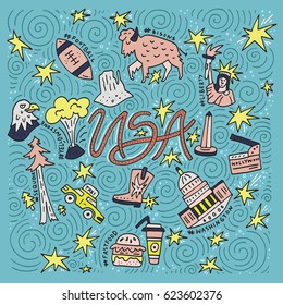
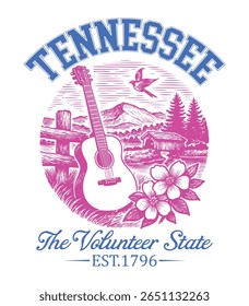
777 Gráficos e Designs de united states of america para Camisetas e Merch print on demand
Baixar designs de camisetas e para merch, como capas de livro, capas de celular, tote bags e mais de united states of america
Relacionado:
estados unidos da america
Ordenar por
Mais relevante
Resultados patrocinados da
Ganhe 15% de desconto com o código: VEXELS15
veja mais detalhes
texto editável
Pronto para imprimir
para Merch
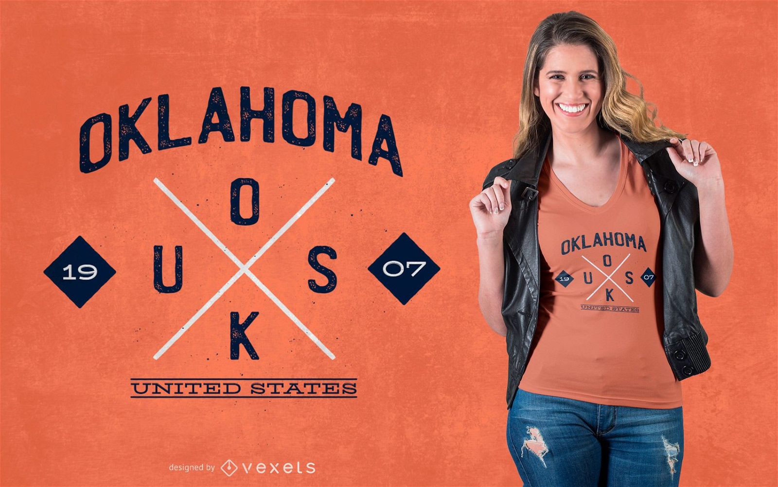
Design de camisetas hipster de Oklahoma
Escolha uma pasta
Todos os favoritos
Criar novo
Salvar
Design de camisetas hipster de Oklahoma
Pronto para imprimir
para Merch
Design de camiseta derramando chá
Escolha uma pasta
Todos os favoritos
Criar novo
Salvar
Design de camiseta derramando chá
Pronto para imprimir
para Merch
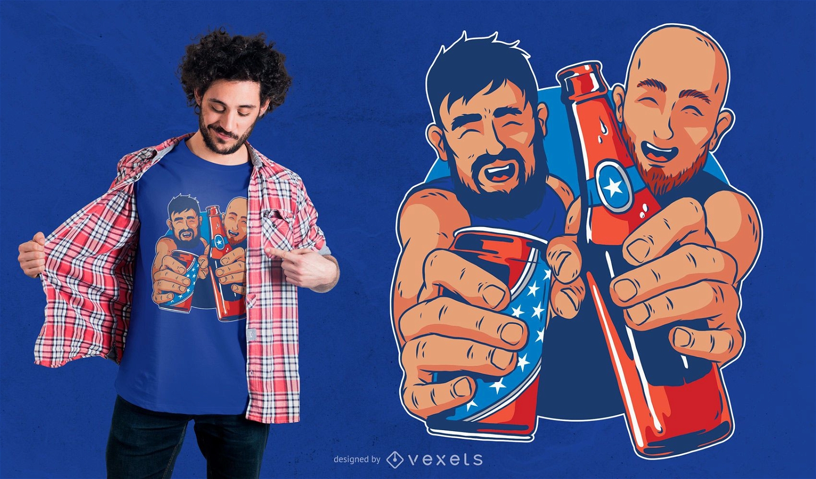
Design de camisetas de cerveja americana
Escolha uma pasta
Todos os favoritos
Criar novo
Salvar
Design de camisetas de cerveja americana
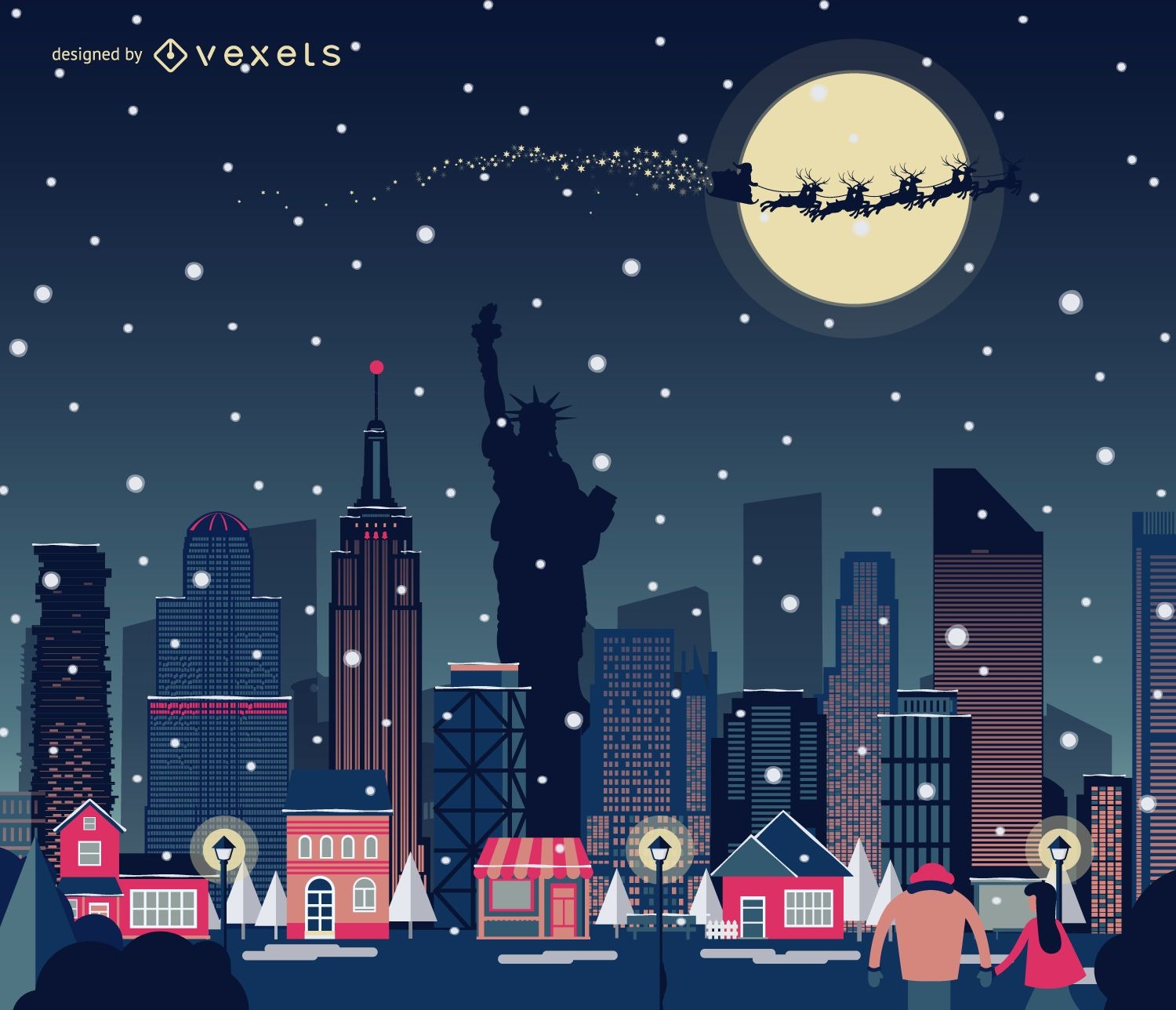
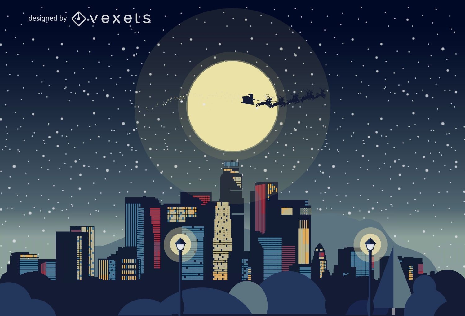
Horizonte de Natal de Nova York nevando
Escolha uma pasta
Todos os favoritos
Criar novo
Salvar
Horizonte de Natal de Nova York nevando
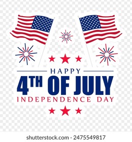
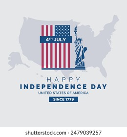
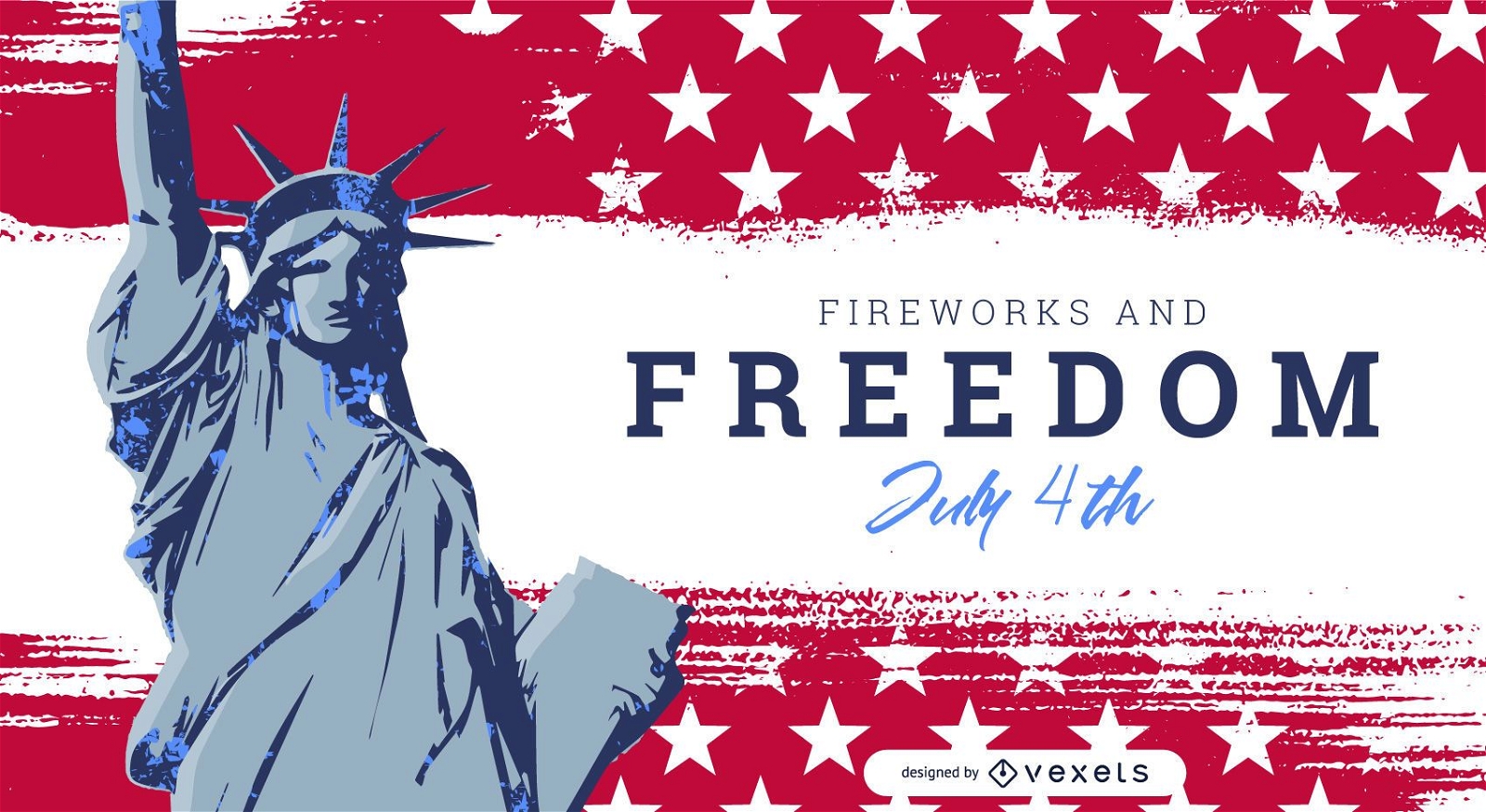
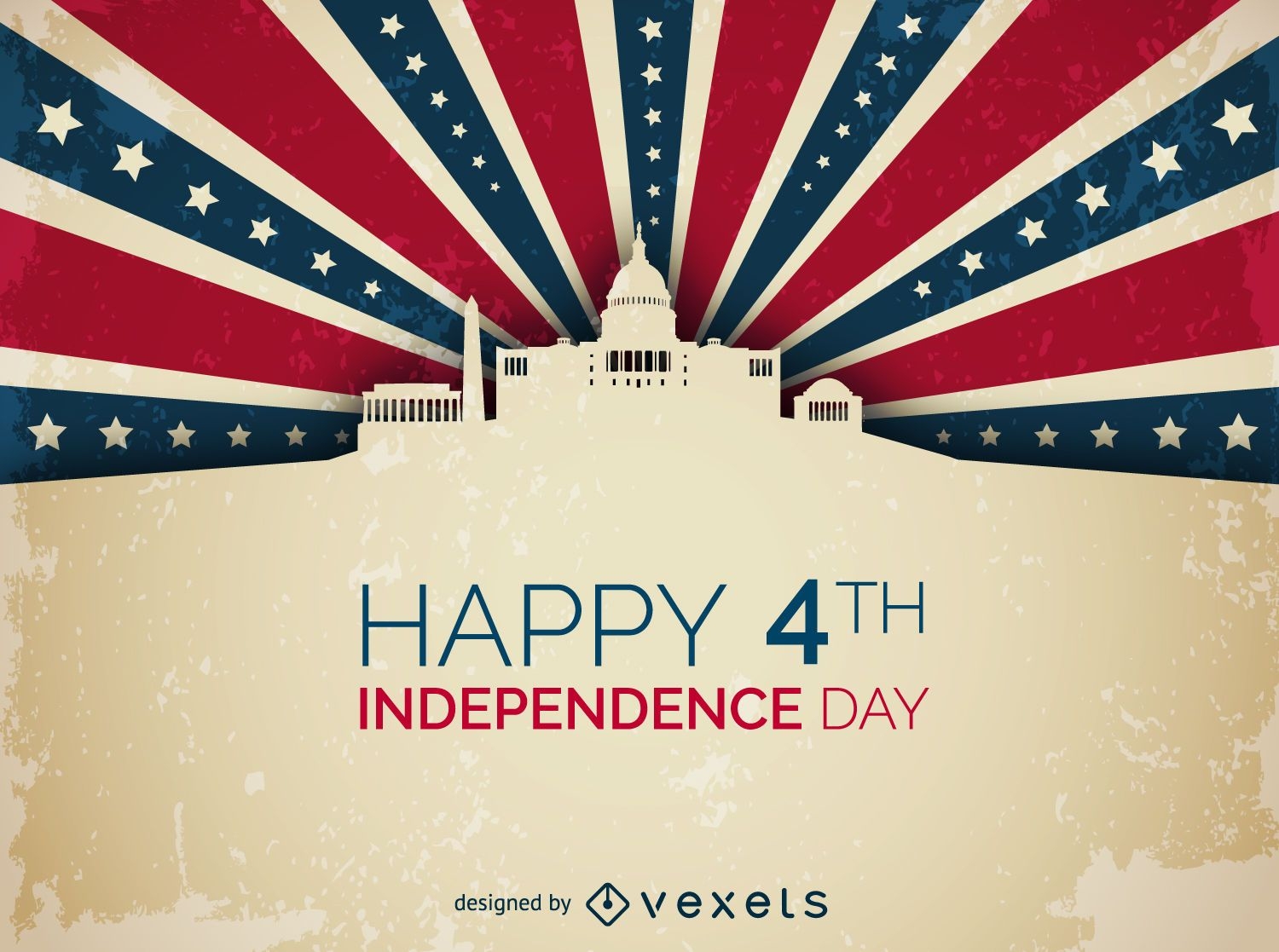
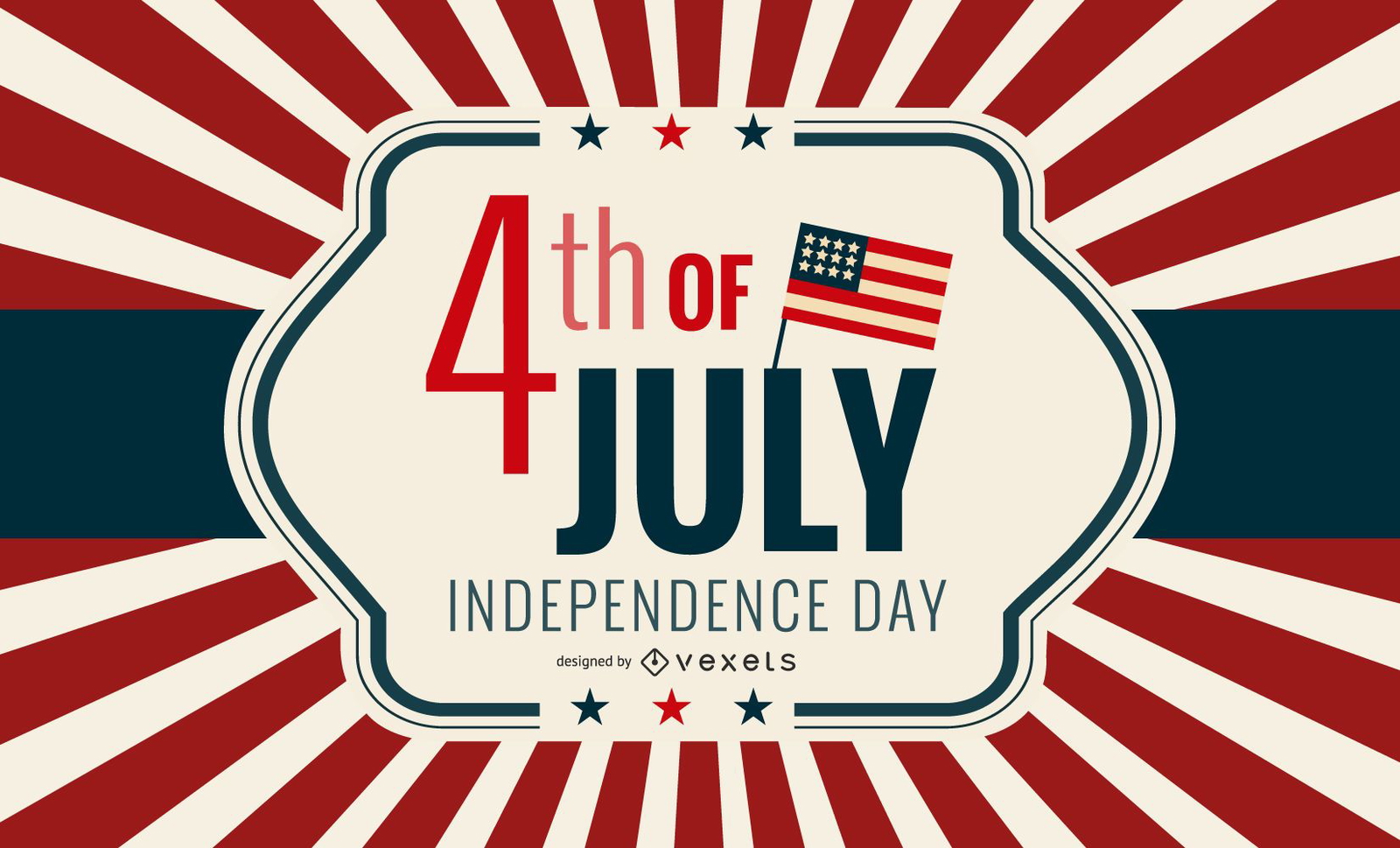
Cartão vintage do Dia da Independência dos EUA
Escolha uma pasta
Todos os favoritos
Criar novo
Salvar
Cartão vintage do Dia da Independência dos EUA
Premium
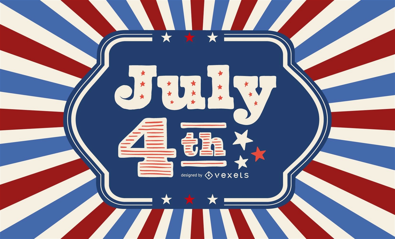
Modelo de controle deslizante de 4 de julho
Escolha uma pasta
Todos os favoritos
Criar novo
Salvar
Modelo de controle deslizante de 4 de julho
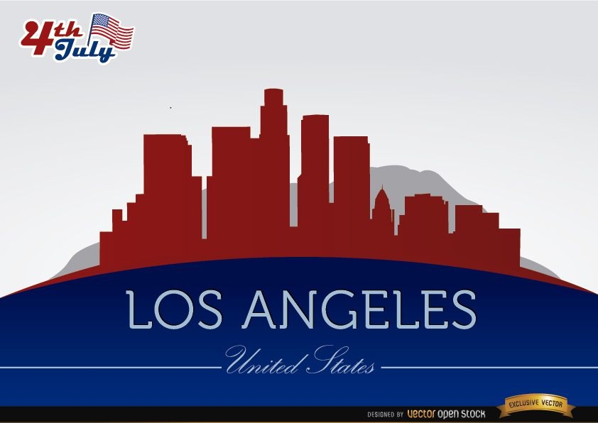
Silhuetas da cidade de Los Angeles em 4 de julho
Escolha uma pasta
Todos os favoritos
Criar novo
Salvar
Silhuetas da cidade de Los Angeles em 4 de julho
para Merch
Design de camisetas com logotipo de recursos naturais dos EUA
Escolha uma pasta
Todos os favoritos
Criar novo
Salvar
Design de camisetas com logotipo de recursos naturais dos EUA
Premium
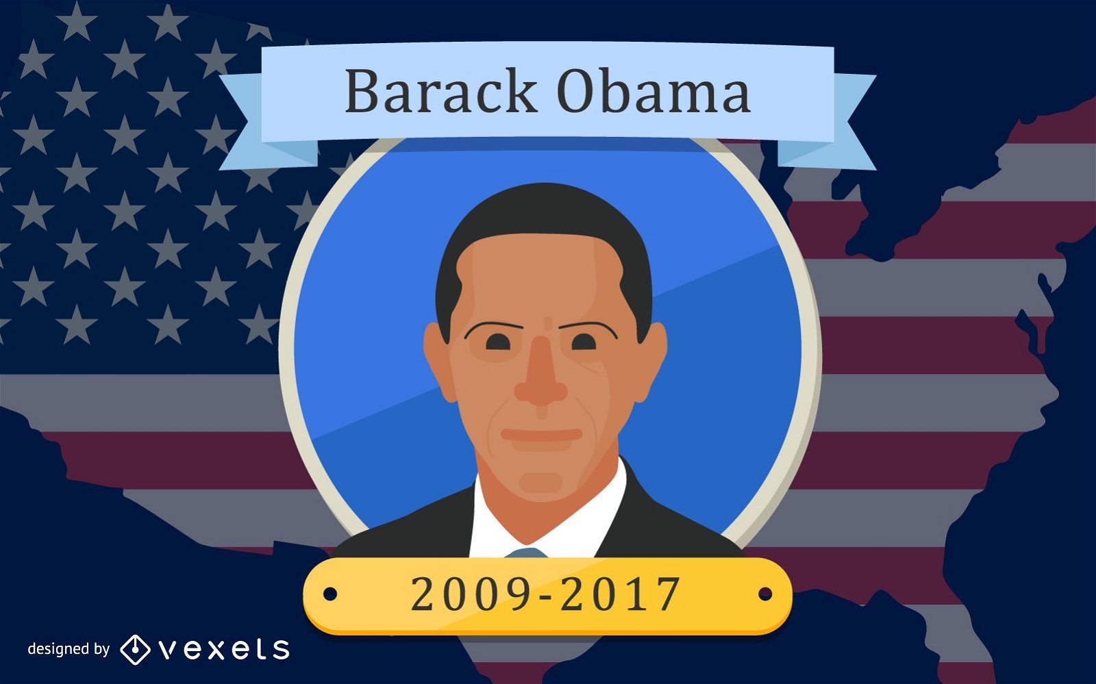
Design do presidente Barack Obama
Escolha uma pasta
Todos os favoritos
Criar novo
Salvar
Design do presidente Barack Obama
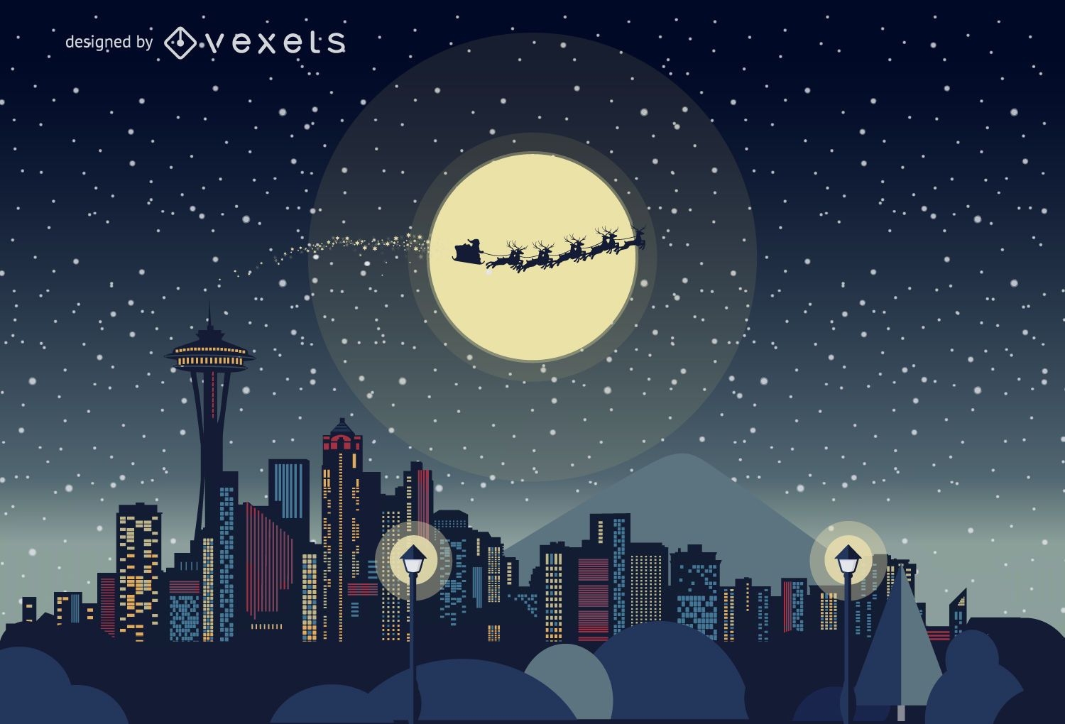
Horizonte de Natal de Seattle
Escolha uma pasta
Todos os favoritos
Criar novo
Salvar
Horizonte de Natal de Seattle
Horizonte de Natal de Los Angeles
Escolha uma pasta
Todos os favoritos
Criar novo
Salvar
Horizonte de Natal de Los Angeles
Projeto da Casa Branca do Dia da Independência
Escolha uma pasta
Todos os favoritos
Criar novo
Salvar
Projeto da Casa Branca do Dia da Independência
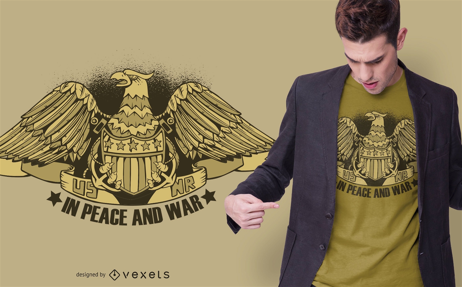
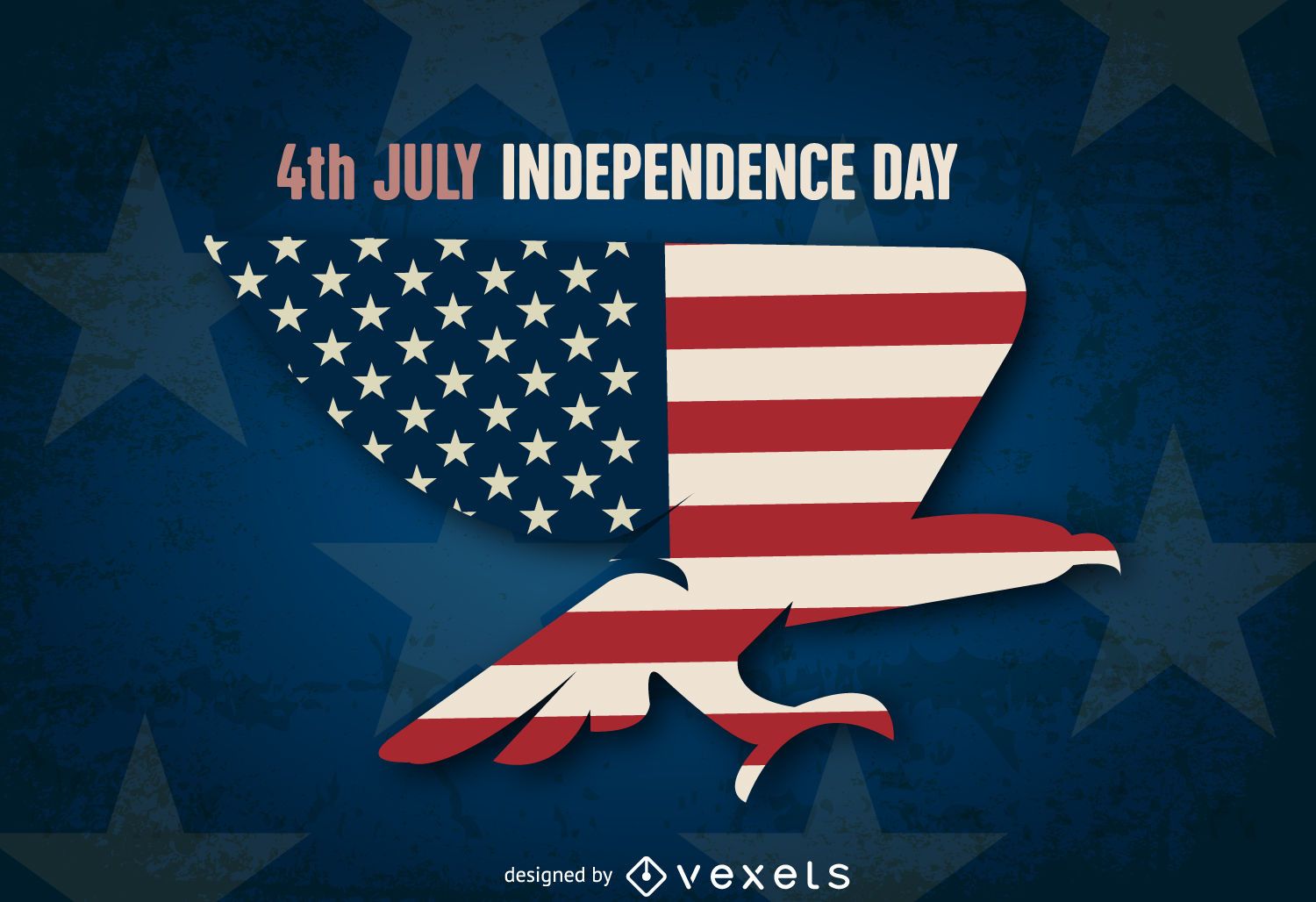
Águia de bandeira do dia da independência dos EUA
Escolha uma pasta
Todos os favoritos
Criar novo
Salvar
Águia de bandeira do dia da independência dos EUA
USA Ribbons Buntings
Escolha uma pasta
Todos os favoritos
Criar novo
Salvar
USA Ribbons Buntings
Premium
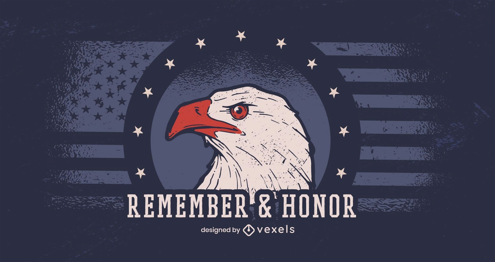
Lembrar e homenagear o banner do dia dos veteranos
Escolha uma pasta
Todos os favoritos
Criar novo
Salvar
Lembrar e homenagear o banner do dia dos veteranos
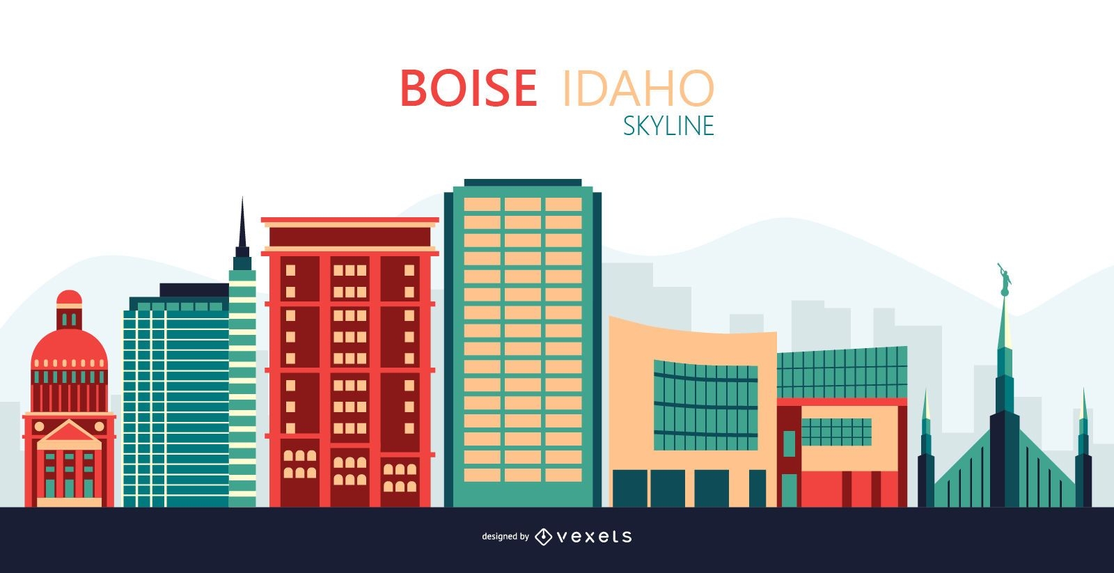
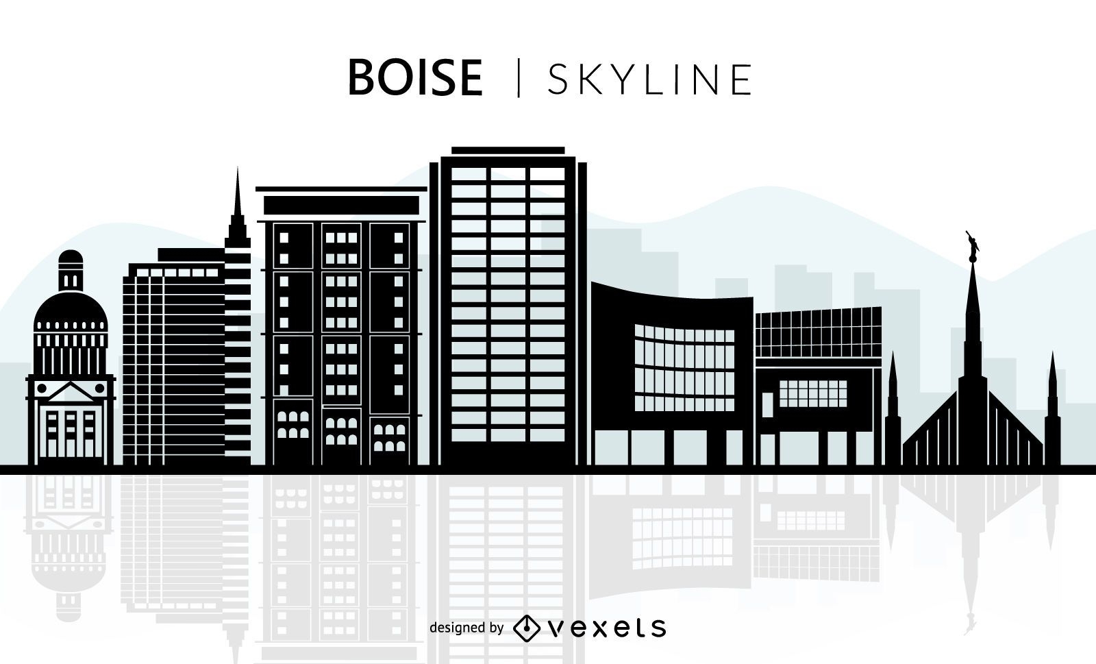
Ilustração do horizonte de Boise
Escolha uma pasta
Todos os favoritos
Criar novo
Salvar
Ilustração do horizonte de Boise
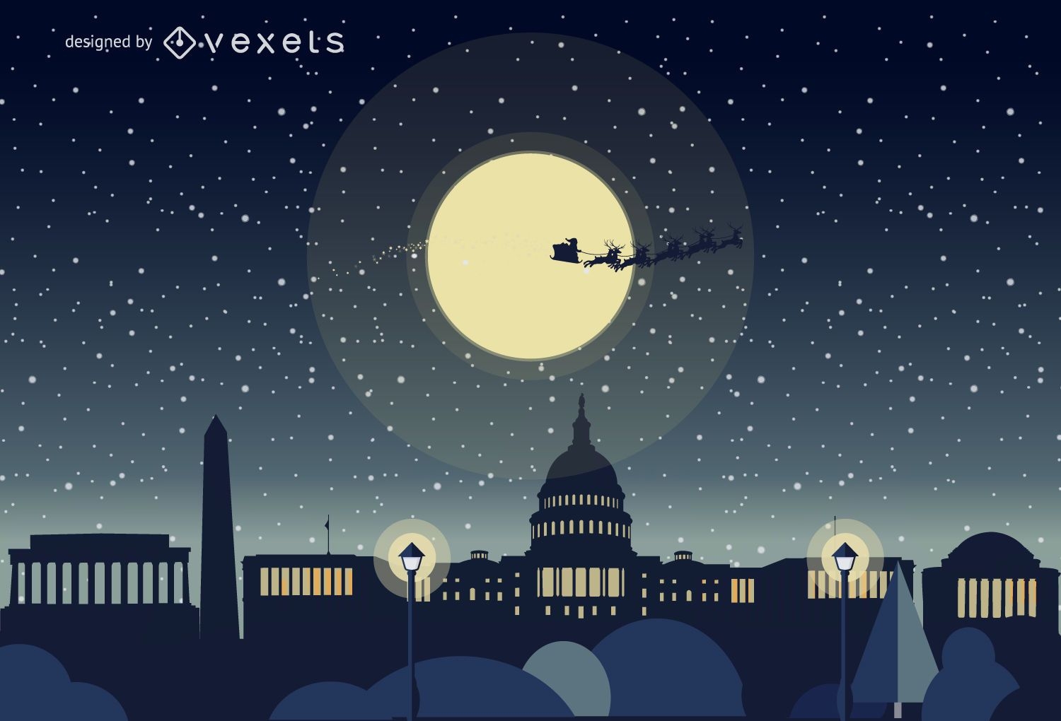
Horizonte de natal de Washington
Escolha uma pasta
Todos os favoritos
Criar novo
Salvar
Horizonte de natal de Washington
Premium
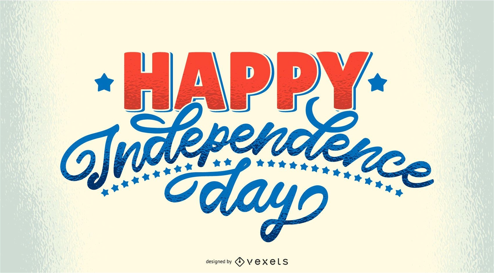
Letras de feliz dia da independência
Escolha uma pasta
Todos os favoritos
Criar novo
Salvar
Letras de feliz dia da independência
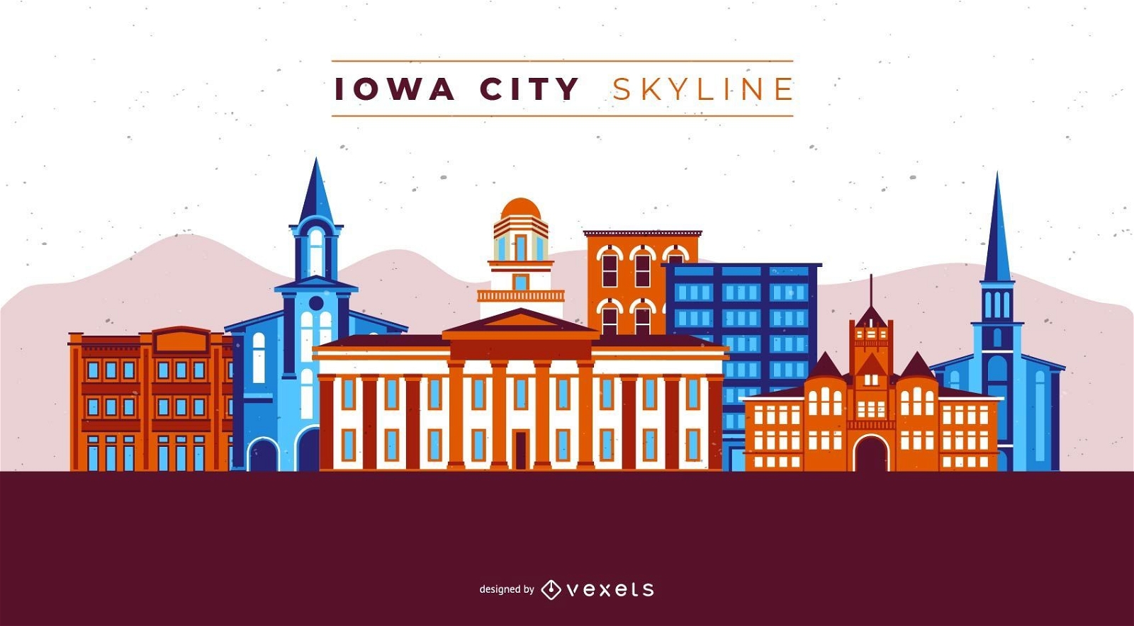
Iowa City Skyline
Escolha uma pasta
Todos os favoritos
Criar novo
Salvar
Iowa City Skyline
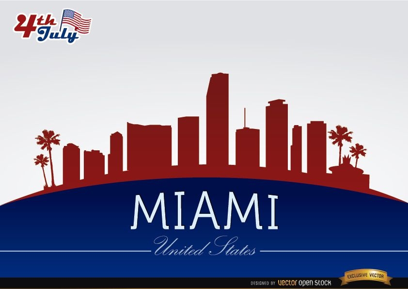
Horizonte de Miami em comemoração de 4 de julho
Escolha uma pasta
Todos os favoritos
Criar novo
Salvar
Horizonte de Miami em comemoração de 4 de julho
Pronto para imprimir
para Merch
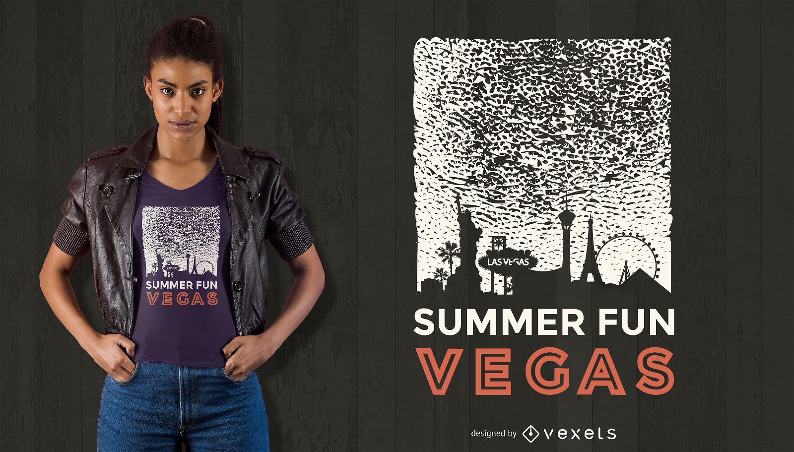
Design de camisetas vegas divertidas de verão
Escolha uma pasta
Todos os favoritos
Criar novo
Salvar
Design de camisetas vegas divertidas de verão
Premium
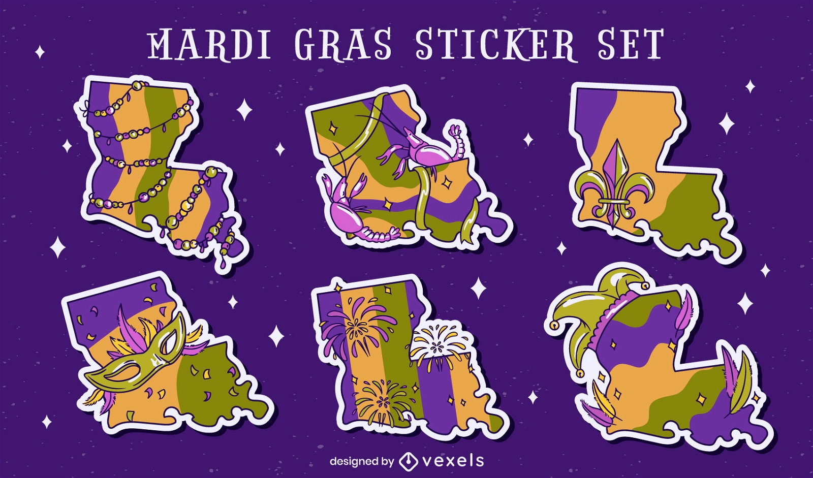
Conjunto de Mardi Gras do estado da Louisiana
Escolha uma pasta
Todos os favoritos
Criar novo
Salvar
Conjunto de Mardi Gras do estado da Louisiana
Premium
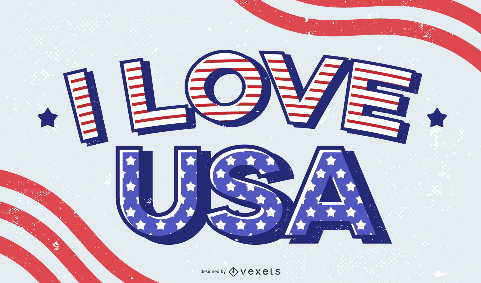
Eu amo o design de letras dos EUA
Escolha uma pasta
Todos os favoritos
Criar novo
Salvar
Eu amo o design de letras dos EUA
Silhueta do horizonte de Boise
Escolha uma pasta
Todos os favoritos
Criar novo
Salvar
Silhueta do horizonte de Boise
Cartão do Dia da Independência dos EUA
Escolha uma pasta
Todos os favoritos
Criar novo
Salvar
Cartão do Dia da Independência dos EUA
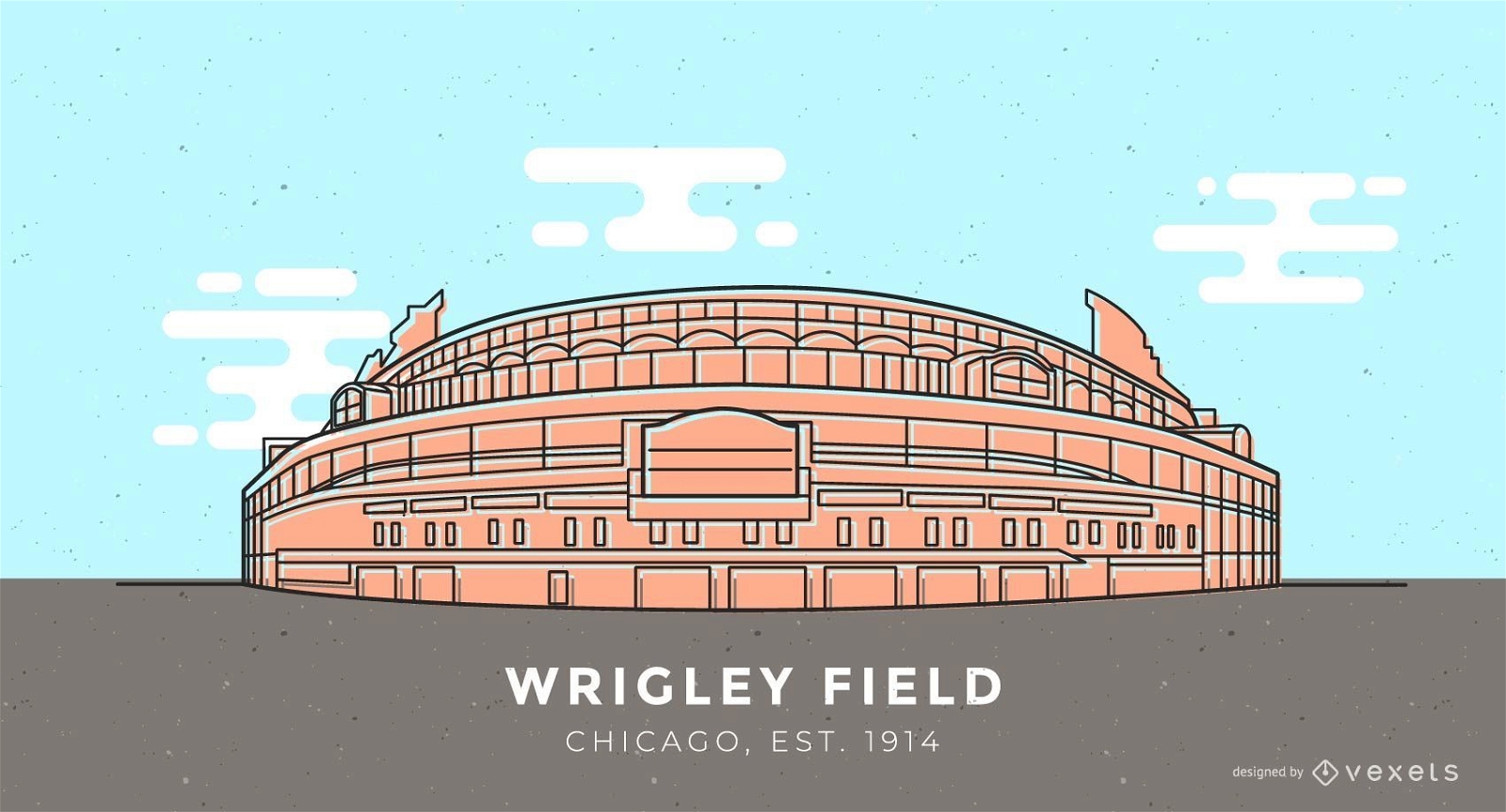
Ilustração do estádio de beisebol Wrigley Field
Escolha uma pasta
Todos os favoritos
Criar novo
Salvar
Ilustração do estádio de beisebol Wrigley Field
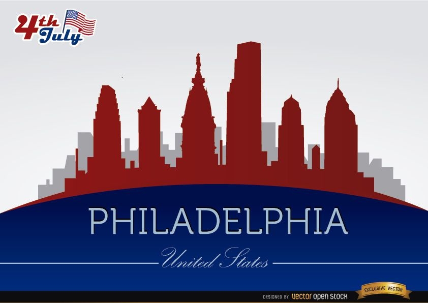
Horizonte da Filadélfia em comemoração de 4 de julho
Escolha uma pasta
Todos os favoritos
Criar novo
Salvar
Horizonte da Filadélfia em comemoração de 4 de julho
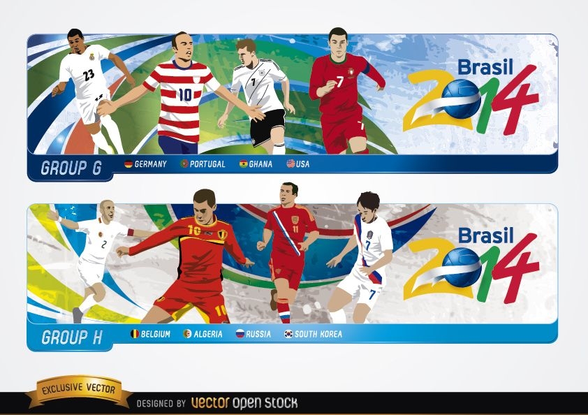
Headers com grupos GH Brasil 2014
Escolha uma pasta
Todos os favoritos
Criar novo
Salvar
Headers com grupos GH Brasil 2014
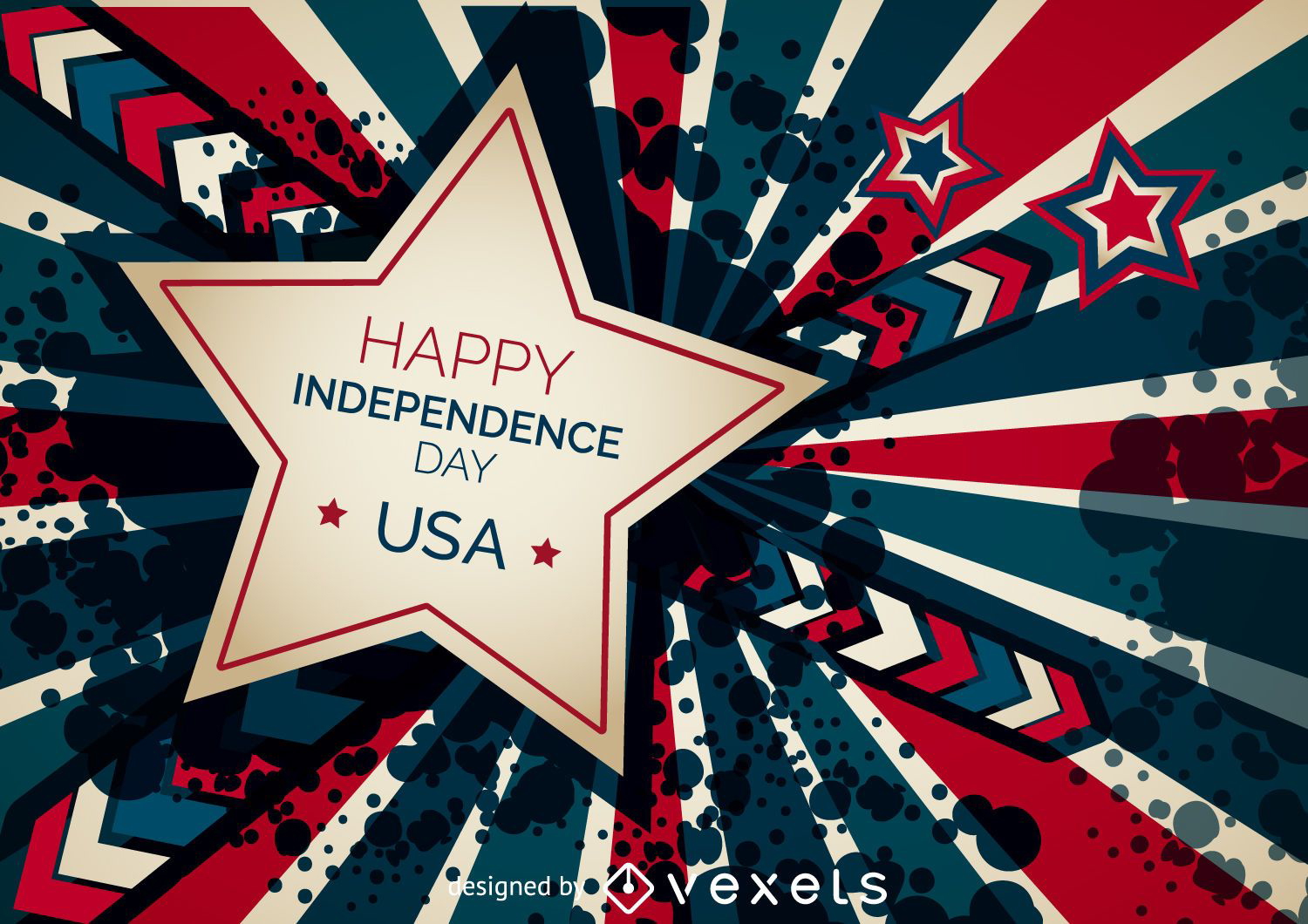
Banner feliz dia da independência
Escolha uma pasta
Todos os favoritos
Criar novo
Salvar
Banner feliz dia da independência
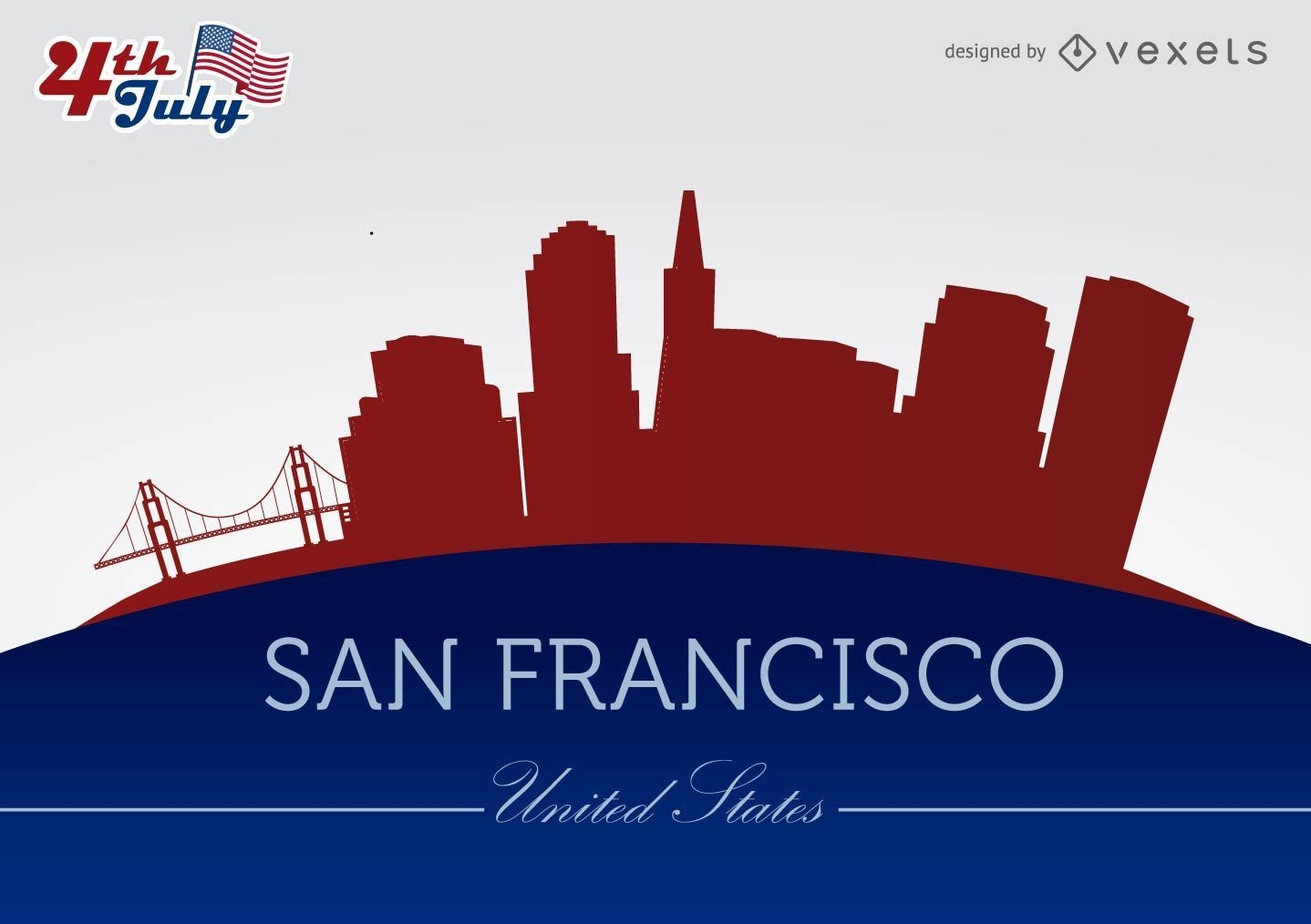
Silhuetas da cidade de São Francisco em 4 de julho
Escolha uma pasta
Todos os favoritos
Criar novo
Salvar
Silhuetas da cidade de São Francisco em 4 de julho
Pronto para imprimir
para Merch
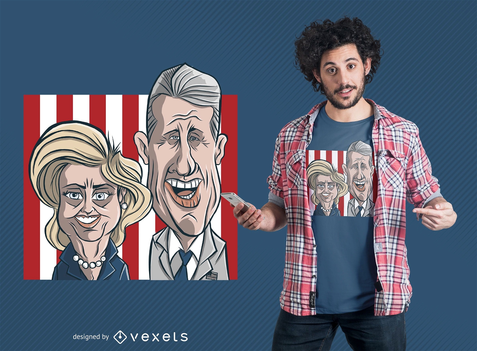
Design de t-shirt dos desenhos animados do casal Clinton
Escolha uma pasta
Todos os favoritos
Criar novo
Salvar
Design de t-shirt dos desenhos animados do casal Clinton
Premium
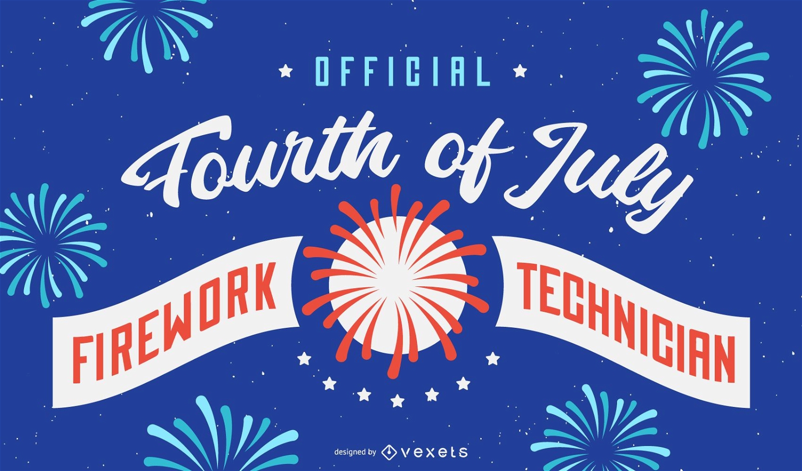
Desenho de fundo de técnico de fogos de artifício
Escolha uma pasta
Todos os favoritos
Criar novo
Salvar
Desenho de fundo de técnico de fogos de artifício
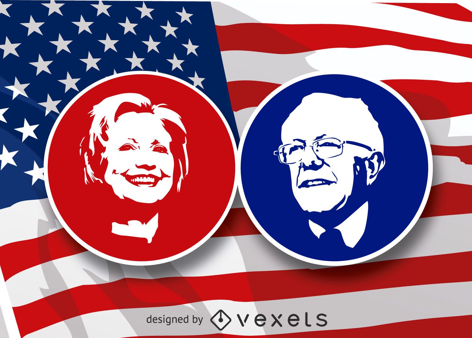
Estêncil de Hilary Clinton e Bernie Sanders
Escolha uma pasta
Todos os favoritos
Criar novo
Salvar
Estêncil de Hilary Clinton e Bernie Sanders
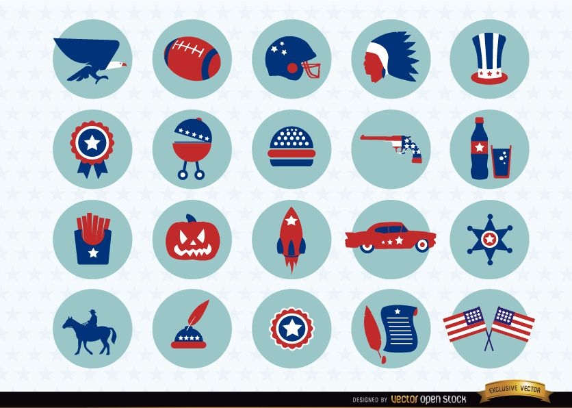
Pacote de ícones de símbolos nacionais dos EUA
Escolha uma pasta
Todos os favoritos
Criar novo
Salvar
Pacote de ícones de símbolos nacionais dos EUA
Premium
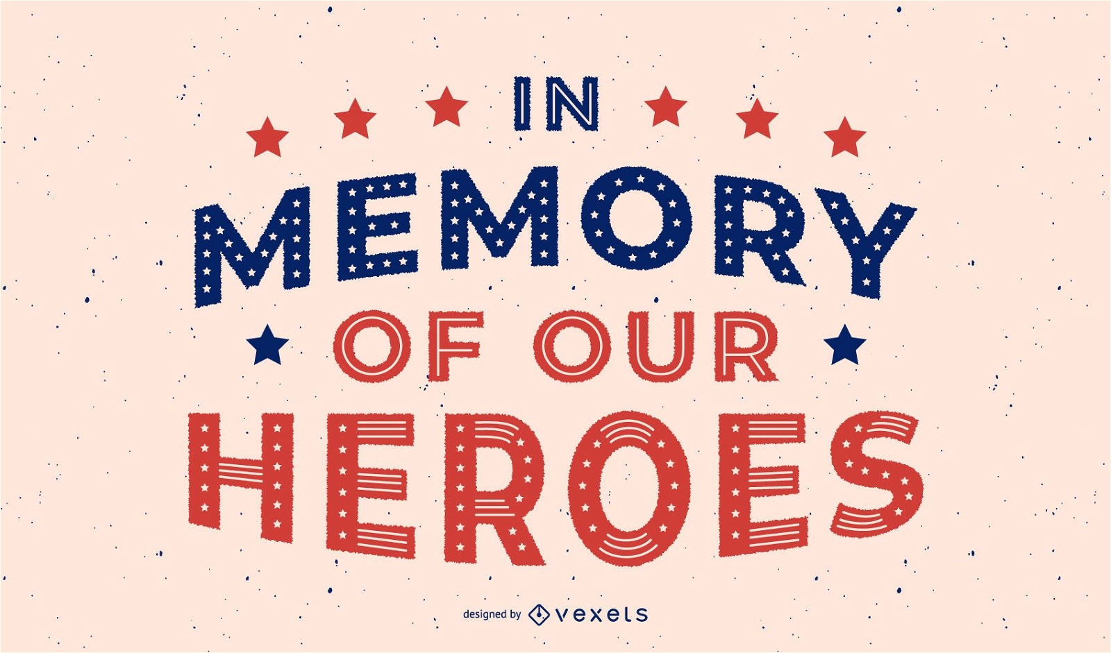
Projeto de letras dos heróis do dia dos veteranos
Escolha uma pasta
Todos os favoritos
Criar novo
Salvar
Projeto de letras dos heróis do dia dos veteranos
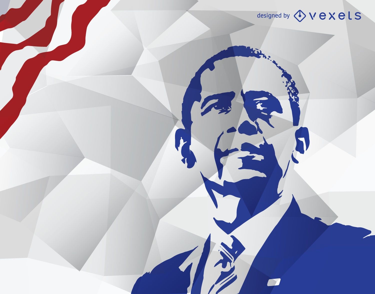
Estêncil de Obama em azul
Escolha uma pasta
Todos os favoritos
Criar novo
Salvar
Estêncil de Obama em azul
Premium
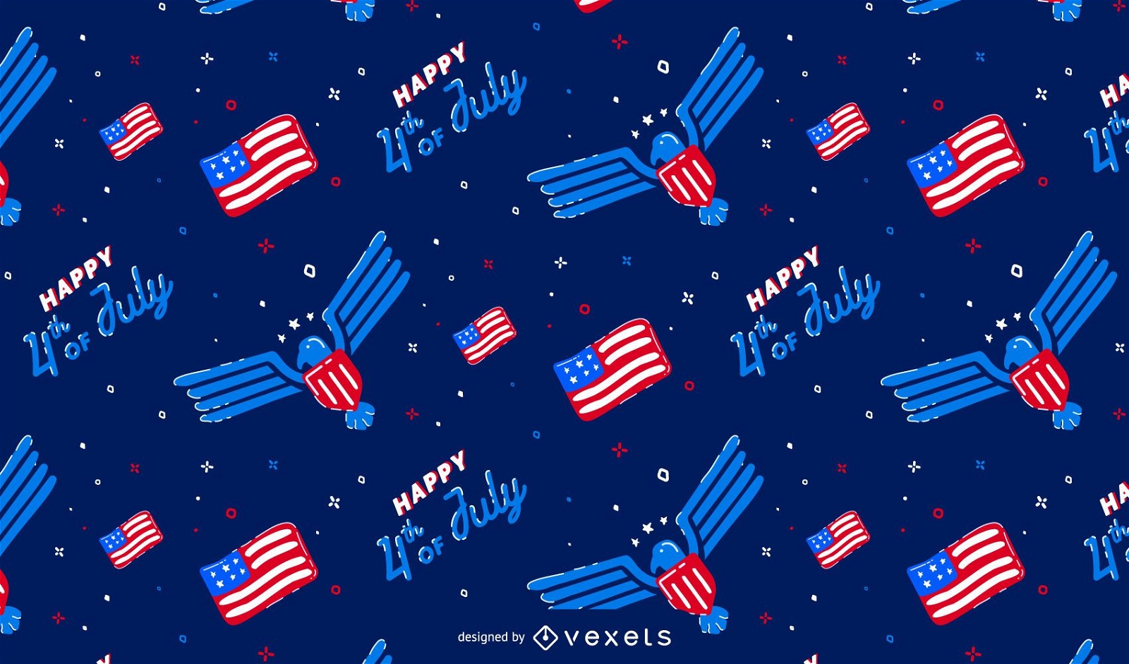
Projeto de padrão do Dia da Independência
Escolha uma pasta
Todos os favoritos
Criar novo
Salvar
Projeto de padrão do Dia da Independência
Pronto para imprimir
para Merch
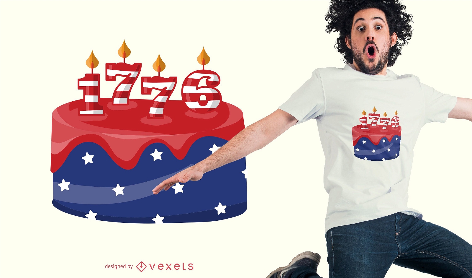
Design de t-shirt de bolo de aniversário dos EUA
Escolha uma pasta
Todos os favoritos
Criar novo
Salvar
Design de t-shirt de bolo de aniversário dos EUA
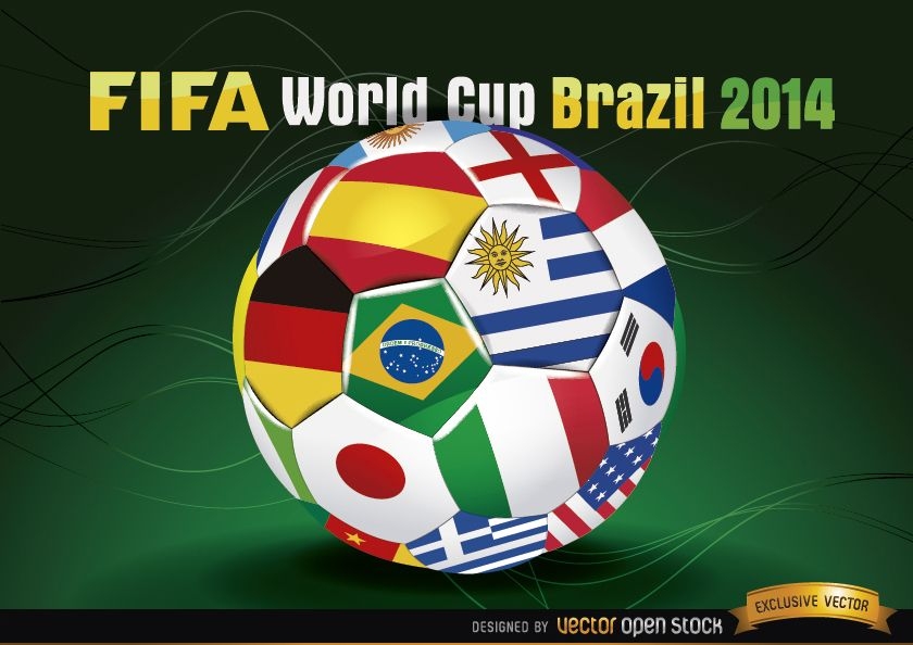
Futebol Brasil 2014 com bandeiras da equipe
Escolha uma pasta
Todos os favoritos
Criar novo
Salvar
Futebol Brasil 2014 com bandeiras da equipe
texto editável
para Merch
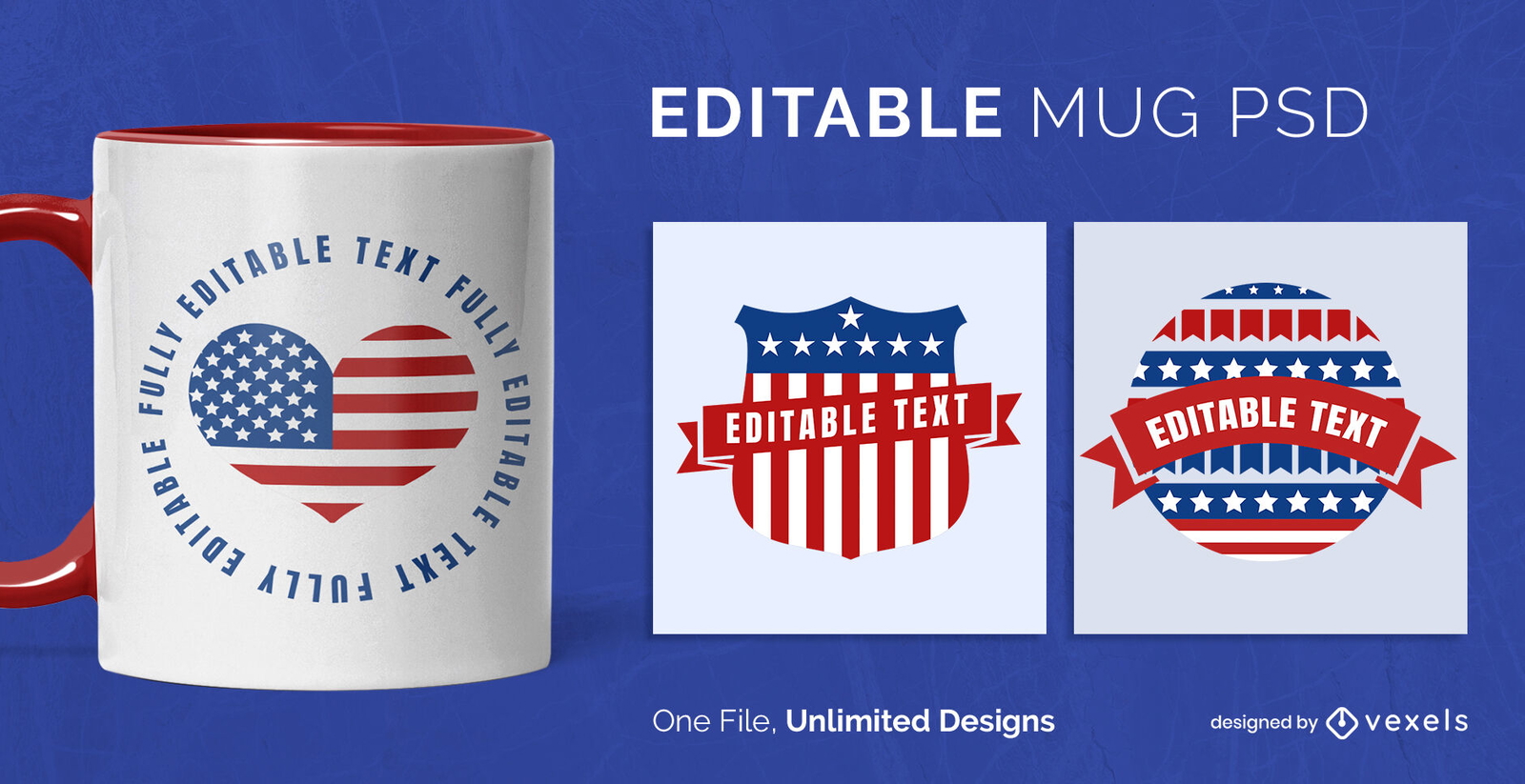
Modelo de Design de Caneca de Emblemas dos EUA Escalável
Escolha uma pasta
Todos os favoritos
Criar novo
Salvar
Modelo de Design de Caneca de Emblemas dos EUA Escalável
Premium
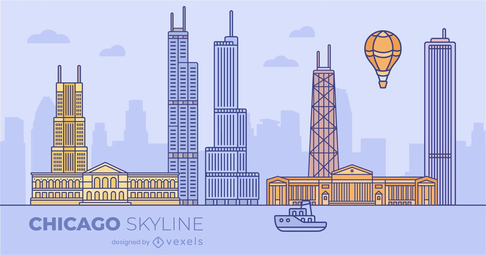
Chicago Colorful Flat Skyline Design
Escolha uma pasta
Todos os favoritos
Criar novo
Salvar
Chicago Colorful Flat Skyline Design
Premium
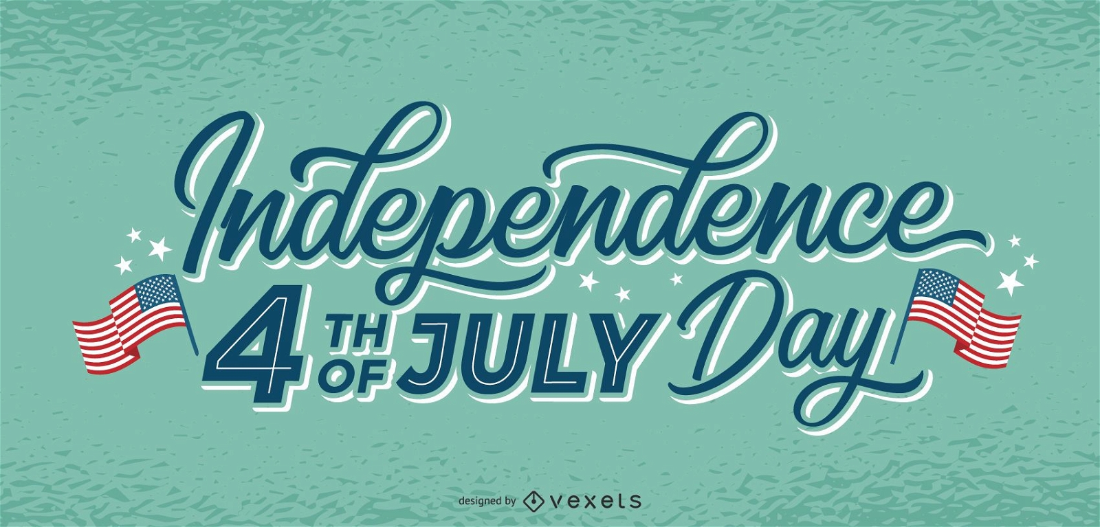
Letras do dia da independência 4 de julho
Escolha uma pasta
Todos os favoritos
Criar novo
Salvar
Letras do dia da independência 4 de julho
Premium
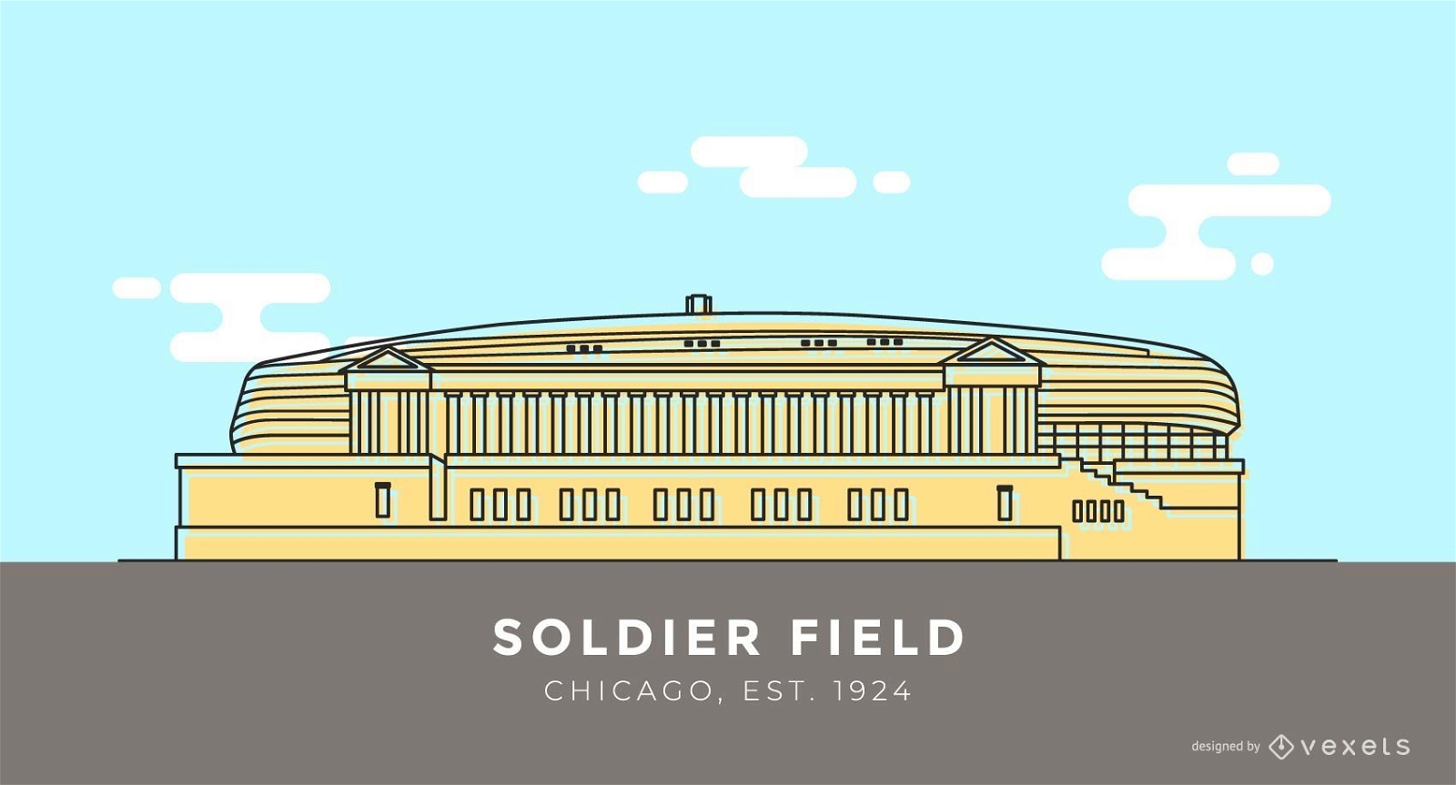
Desenho do estádio Soldier Field
Escolha uma pasta
Todos os favoritos
Criar novo
Salvar
Desenho do estádio Soldier Field
texto editável
Premium
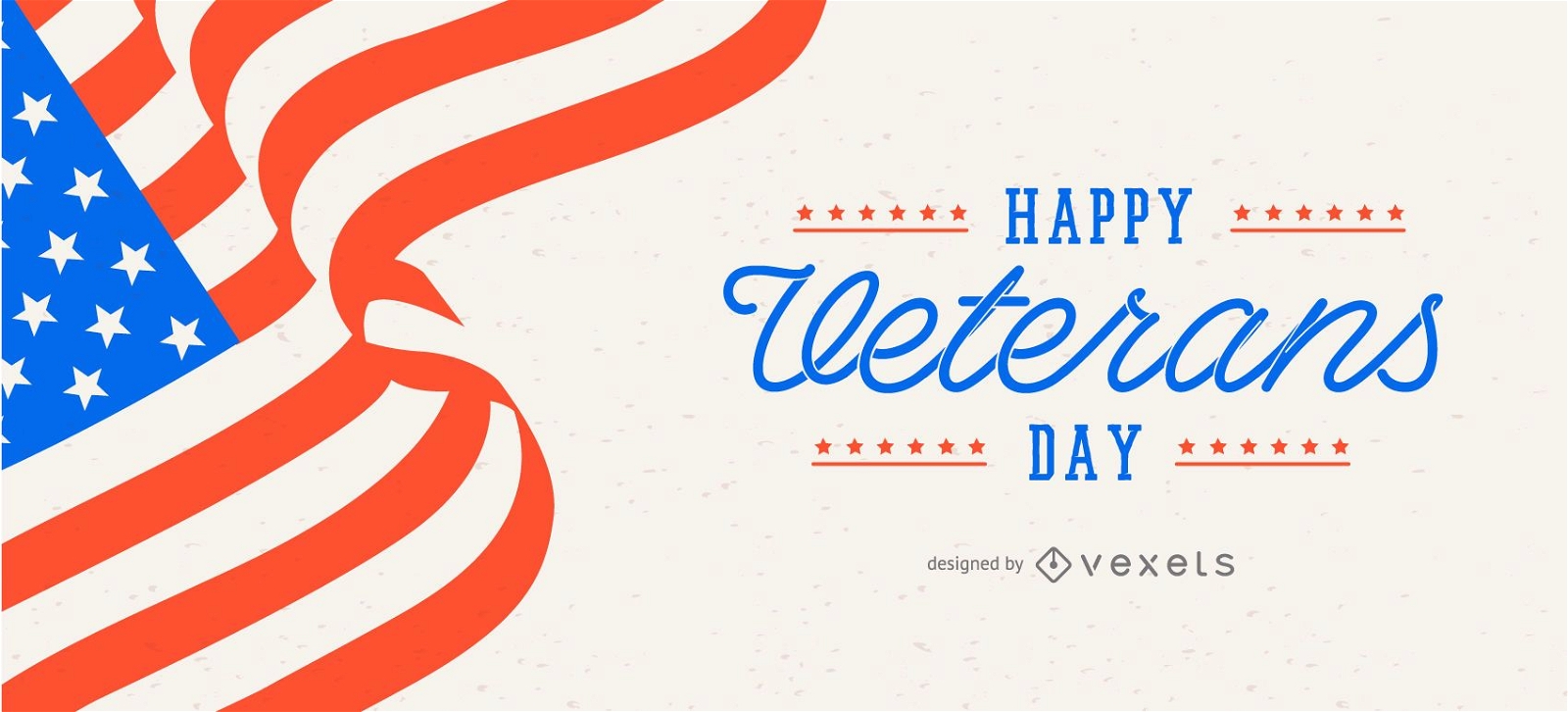
Modelo de controle deslizante do dia dos veteranos
Escolha uma pasta
Todos os favoritos
Criar novo
Salvar
Modelo de controle deslizante do dia dos veteranos
Premium
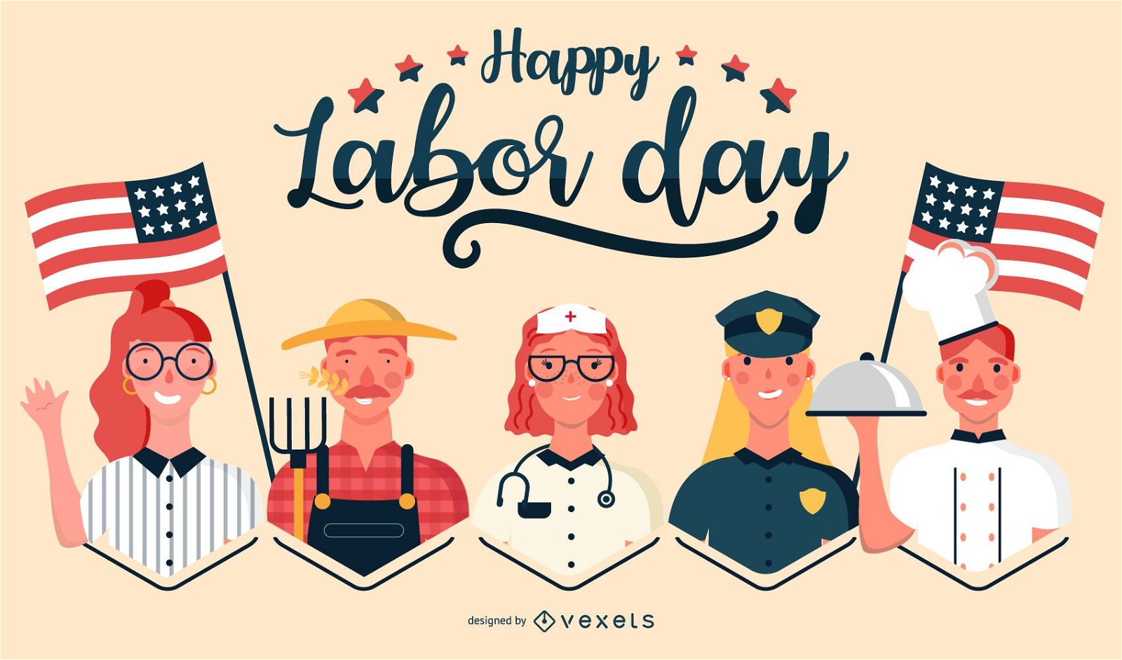
Ilustração de empregos felizes do dia do trabalho
Escolha uma pasta
Todos os favoritos
Criar novo
Salvar
Ilustração de empregos felizes do dia do trabalho
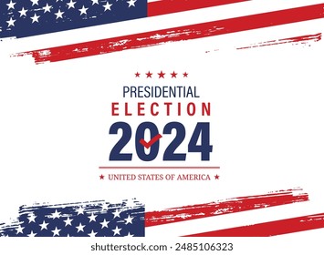
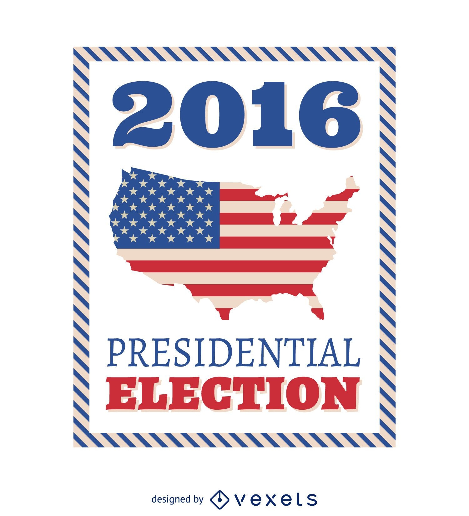
Quadro de eleições presidenciais dos EUA de 2016
Escolha uma pasta
Todos os favoritos
Criar novo
Salvar
Quadro de eleições presidenciais dos EUA de 2016
Premium
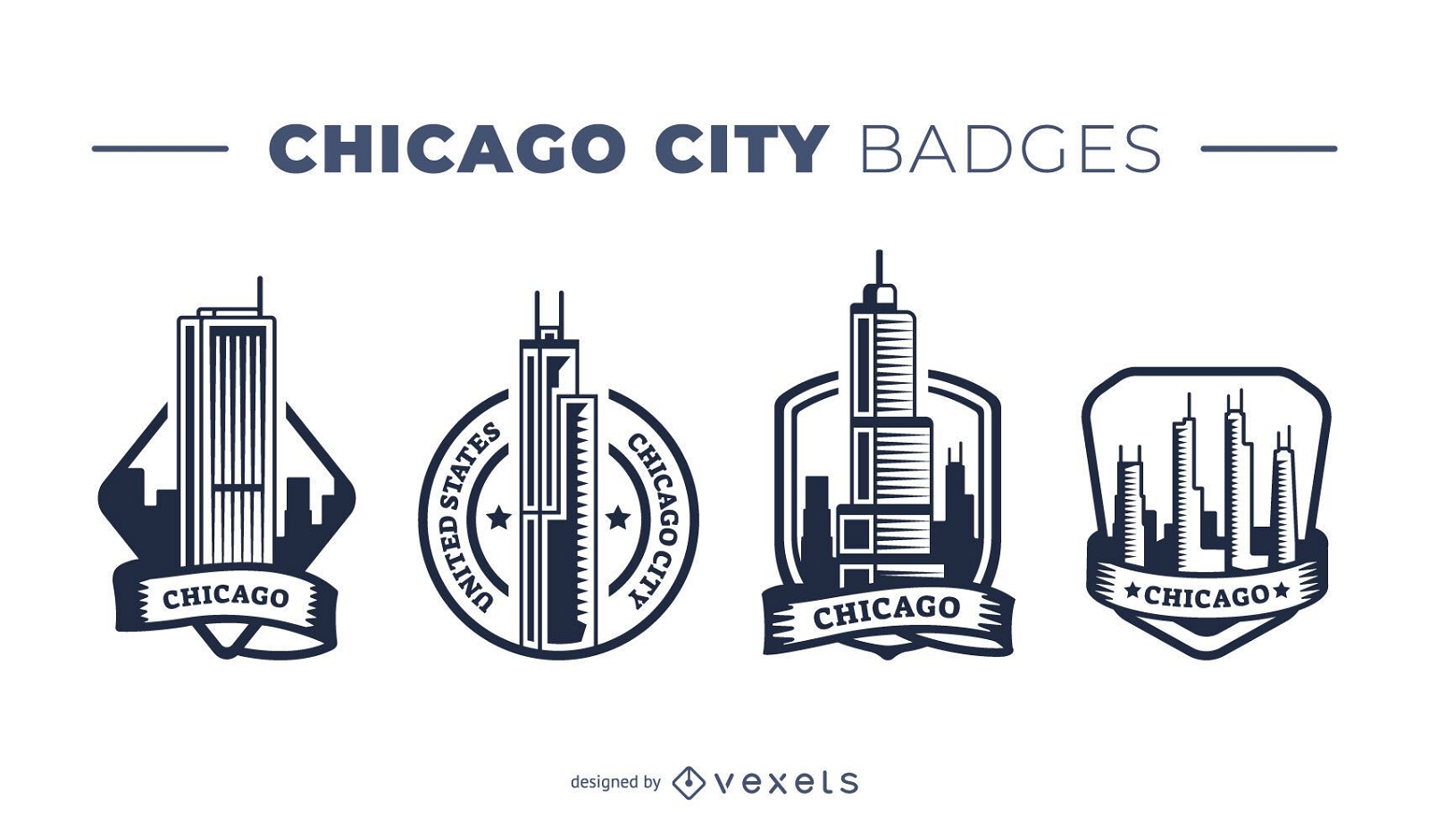
Pacote de crachás da cidade de Chicago
Escolha uma pasta
Todos os favoritos
Criar novo
Salvar
Pacote de crachás da cidade de Chicago
texto editável
Pronto para imprimir
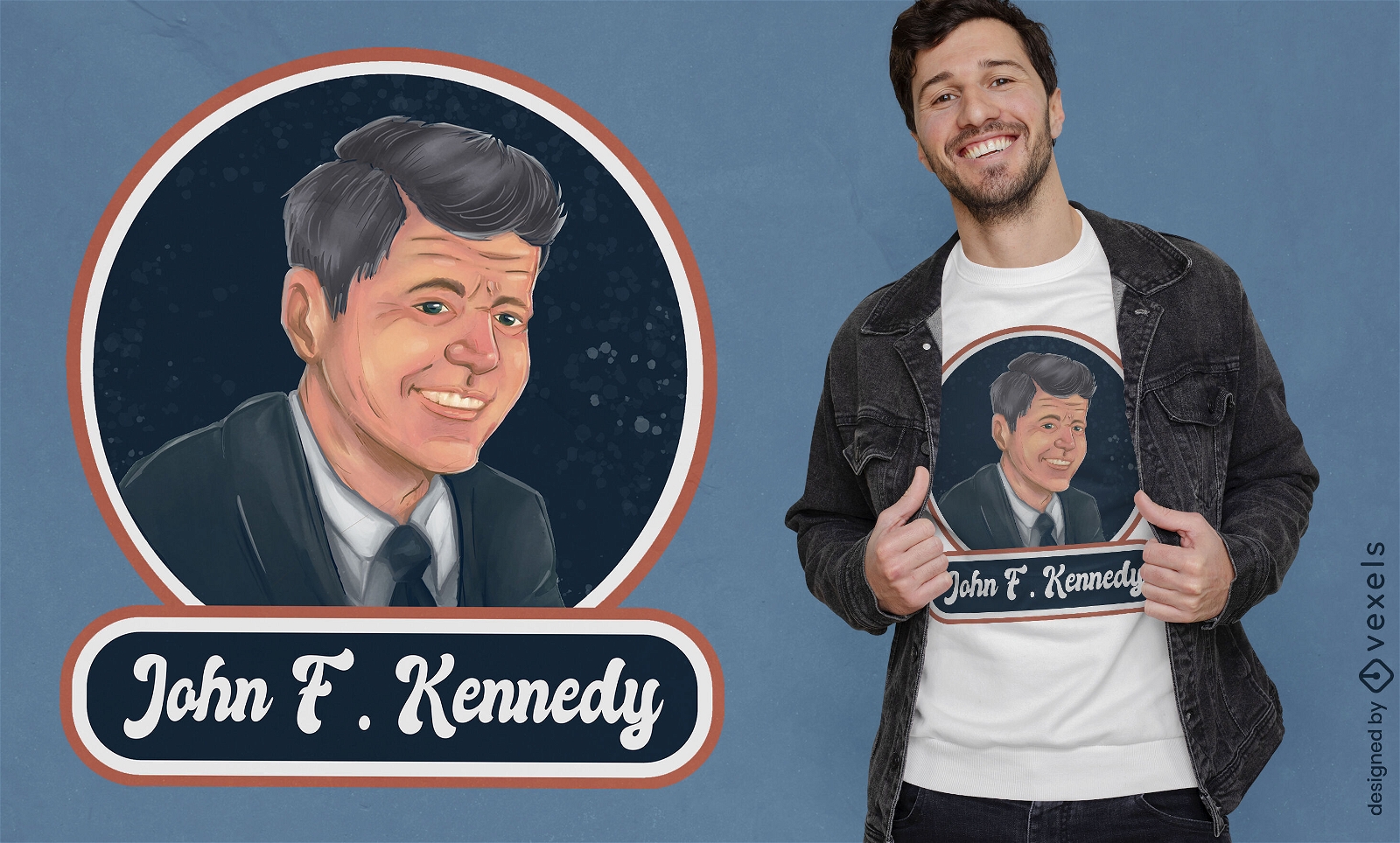
Design de camiseta com retrato de John F. Kennedy
Escolha uma pasta
Todos os favoritos
Criar novo
Salvar
Design de camiseta com retrato de John F. Kennedy
Premium
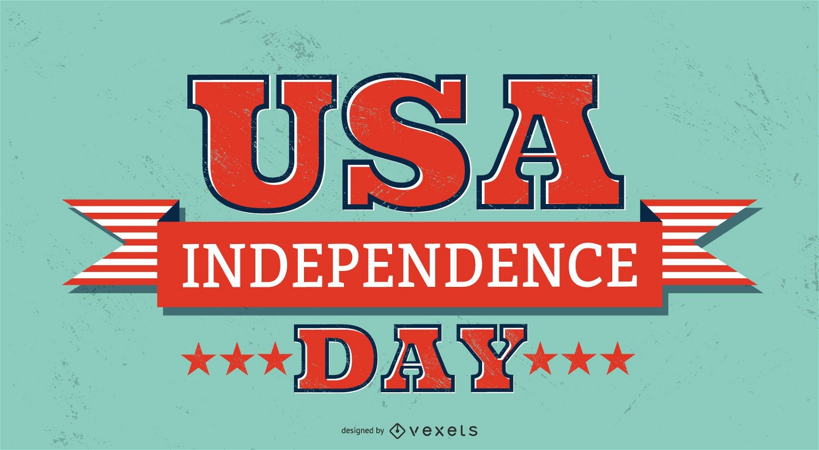
letras do dia da independência dos eua
Escolha uma pasta
Todos os favoritos
Criar novo
Salvar
letras do dia da independência dos eua
Premium
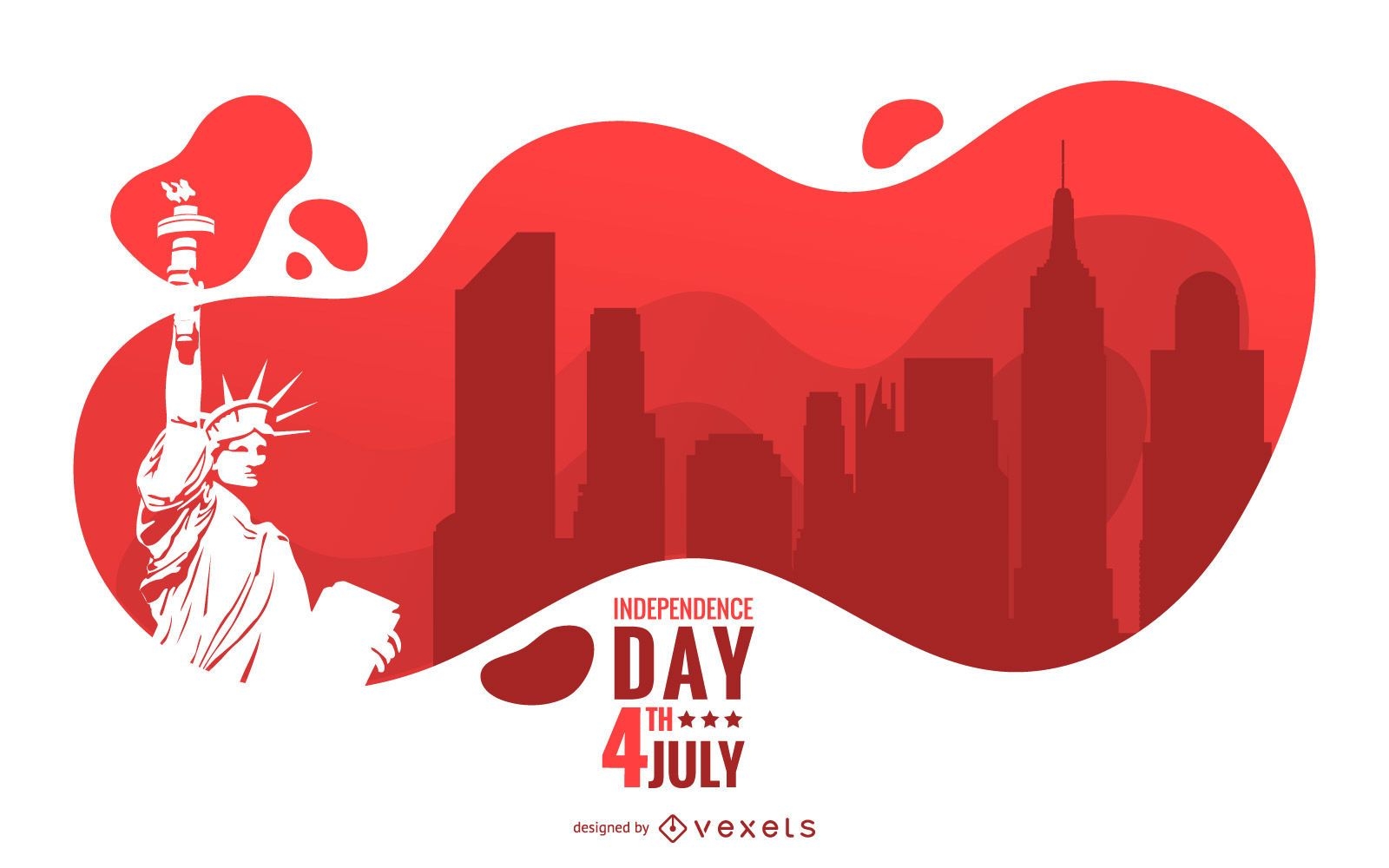
Design de ilustração do Dia da Independência
Escolha uma pasta
Todos os favoritos
Criar novo
Salvar
Design de ilustração do Dia da Independência
Impulsione seu negócio
Com a plataforma gráfica líder de mercado.
Ver planos
Próxima
do 16
prev page
next page