Biblioteca de design
Novos designs Merch
Camisetas
Vectores
Designs de Merch de Tendência
PNGs & SVGs
Mockups
Modelos de T-Shirt PSD
Explorar Desenhos
Designs KDP
Pôsteres
Canecas
Capas para celular
Sacos de compras
Almofadas
Ferramentas de desenho
Merch Designer
Novo!
Mockup Generator
Gerador de Design de AI
Vetorizador
Quote Generator
T-Shirt Maker (Antigo)
Ajuda
Merch Digest
Blog
Centro de Ajuda
Saiba mais sobre o Merch
Feedback
Soluções Corporativas
Empresa
Acesso à API
Estúdio de Design
Design em Lote
Preços
Carregando...
Inscrever-se
Conecte-se
PNGs For Merch
guerrero
Biblioteca de design
Novos designs Merch
Camisetas
Vectores
Designs de Merch de Tendência
PNGs & SVGs
Mockups
Modelos de T-Shirt PSD
Explorar Desenhos
Designs KDP
Pôsteres
Canecas
Capas para celular
Sacos de compras
Almofadas
Ferramentas de desenho
Merch Designer
Novo!
Mockup Generator
Gerador de Design de AI
Vetorizador
Quote Generator
T-Shirt Maker (Antigo)
Ajuda
Merch Digest
Blog
Centro de Ajuda
Saiba mais sobre o Merch
Feedback
Soluções Corporativas
Empresa
Acesso à API
Estúdio de Design
Design em Lote
PLANOS
PNGs For Merch
guerrero
301 Gráficos de designs PNG e SVG de guerrero
Baixar Gráficos PNG e SVG de Design com Fundo Transparente Para T-Shirts, Capas do Celular, Capas do Livros e outros Produtos Merch
Ordenar por
Mais relevante
Resultados patrocinados da
Ganhe 15% de desconto com o código: VEXELS15
veja mais detalhes
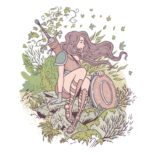
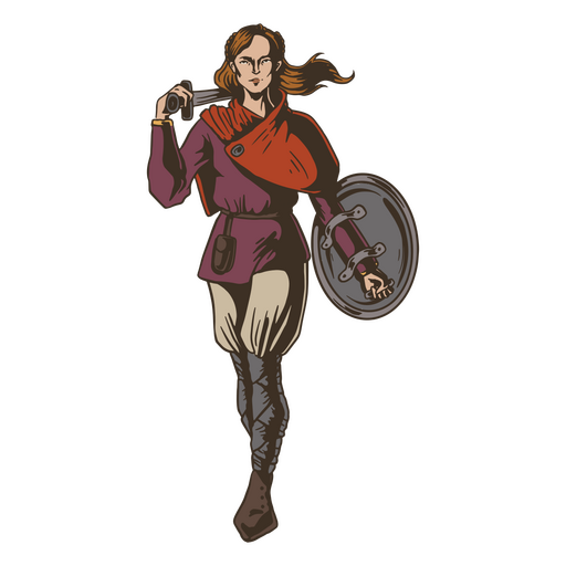
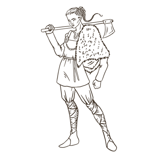
Garota guerreira na natureza Desenho PNG
Escolha uma pasta
Todos os favoritos
Criar novo
Salvar
Garota guerreira na natureza Desenho PNG
Medieval_RealistCountourLine - 27 Desenho PNG
Escolha uma pasta
Todos os favoritos
Criar novo
Salvar
Medieval_RealistCountourLine - 27 Desenho PNG
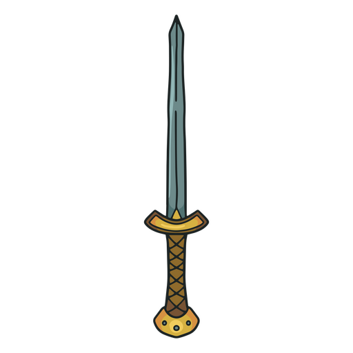
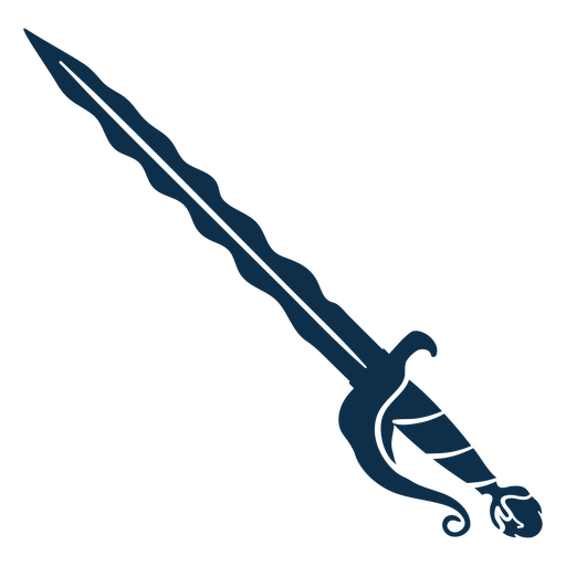
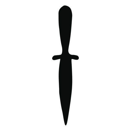
Espada antiga marrom Desenho PNG
Escolha uma pasta
Todos os favoritos
Criar novo
Salvar
Espada antiga marrom Desenho PNG
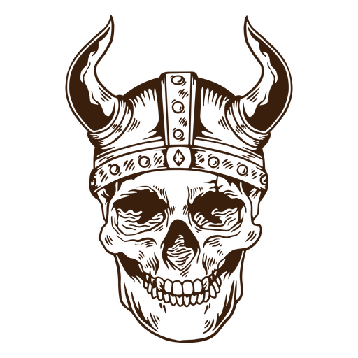
Crânio de pessoas nórdicas vikings Desenho PNG
Escolha uma pasta
Todos os favoritos
Criar novo
Salvar
Crânio de pessoas nórdicas vikings Desenho PNG
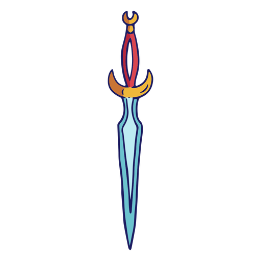
Espadas - 7 Desenho PNG
Escolha uma pasta
Todos os favoritos
Criar novo
Salvar
Espadas - 7 Desenho PNG
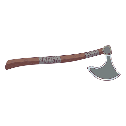
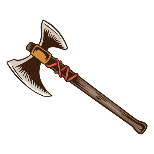
Ilustração de machado viking Desenho PNG
Escolha uma pasta
Todos os favoritos
Criar novo
Salvar
Ilustração de machado viking Desenho PNG
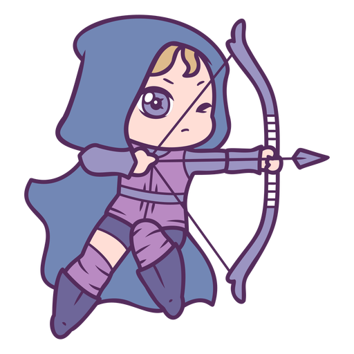
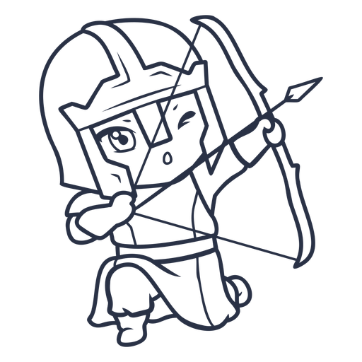
Personagens de Chibi de tiro com arco - 7 Desenho PNG
Escolha uma pasta
Todos os favoritos
Criar novo
Salvar
Personagens de Chibi de tiro com arco - 7 Desenho PNG
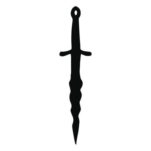
Medieval-RealisticSilhouette-Vinyl-CR - 10 Desenho PNG
Escolha uma pasta
Todos os favoritos
Criar novo
Salvar
Medieval-RealisticSilhouette-Vinyl-CR - 10 Desenho PNG
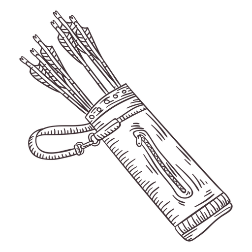
Arhcery-DetailedRealisticSilhouette - 6 Desenho PNG
Escolha uma pasta
Todos os favoritos
Criar novo
Salvar
Arhcery-DetailedRealisticSilhouette - 6 Desenho PNG
Premium
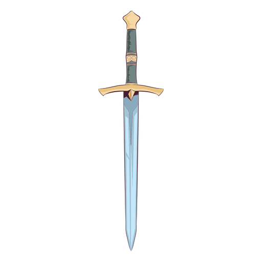
Ilustração de espada medieval Desenho PNG
Escolha uma pasta
Todos os favoritos
Criar novo
Salvar
Ilustração de espada medieval Desenho PNG
Medieval-RealisticSilhouette-Vinyl-CR - 6 Desenho PNG
Escolha uma pasta
Todos os favoritos
Criar novo
Salvar
Medieval-RealisticSilhouette-Vinyl-CR - 6 Desenho PNG
Espadas - 51 Desenho PNG
Escolha uma pasta
Todos os favoritos
Criar novo
Salvar
Espadas - 51 Desenho PNG
Que os nórdicos estejam com você distintivo de citação de vikings Desenho PNG
Escolha uma pasta
Todos os favoritos
Criar novo
Salvar
Que os nórdicos estejam com você distintivo de citação de vikings Desenho PNG
Cavalo tribal dos vikings Desenho PNG
Escolha uma pasta
Todos os favoritos
Criar novo
Salvar
Cavalo tribal dos vikings Desenho PNG
Premium
Ícone de viking da natureza do pássaro Desenho PNG
Escolha uma pasta
Todos os favoritos
Criar novo
Salvar
Ícone de viking da natureza do pássaro Desenho PNG
Espadas - 13 Desenho PNG
Escolha uma pasta
Todos os favoritos
Criar novo
Salvar
Espadas - 13 Desenho PNG
Archery-Bows-RealisticDetailedContourLine-Stroke-CR - 9 Desenho PNG
Escolha uma pasta
Todos os favoritos
Criar novo
Salvar
Archery-Bows-RealisticDetailedContourLine-Stroke-CR - 9 Desenho PNG
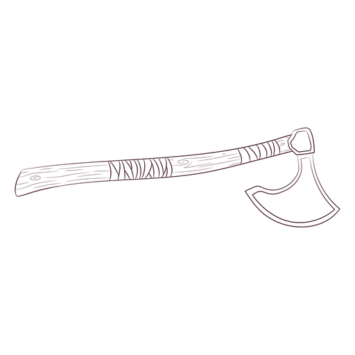
Machado antigo e plano Desenho PNG
Escolha uma pasta
Todos os favoritos
Criar novo
Salvar
Machado antigo e plano Desenho PNG
Espadas - 16 Desenho PNG
Escolha uma pasta
Todos os favoritos
Criar novo
Salvar
Espadas - 16 Desenho PNG
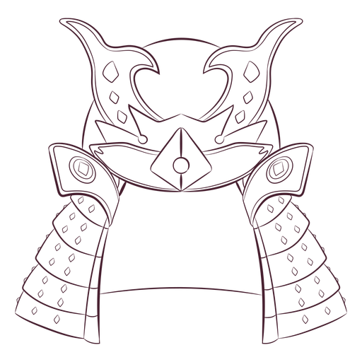
Capacete de samurai desenhado à mão Desenho PNG
Escolha uma pasta
Todos os favoritos
Criar novo
Salvar
Capacete de samurai desenhado à mão Desenho PNG
Medieval-RealisticSilhouette-Vinyl-CR - 13 Desenho PNG
Escolha uma pasta
Todos os favoritos
Criar novo
Salvar
Medieval-RealisticSilhouette-Vinyl-CR - 13 Desenho PNG
Fita do guerreiro do câncer de mama Desenho PNG
Escolha uma pasta
Todos os favoritos
Criar novo
Salvar
Fita do guerreiro do câncer de mama Desenho PNG
Espadas - 25 Desenho PNG
Escolha uma pasta
Todos os favoritos
Criar novo
Salvar
Espadas - 25 Desenho PNG
Curso de capacete Viking Desenho PNG
Escolha uma pasta
Todos os favoritos
Criar novo
Salvar
Curso de capacete Viking Desenho PNG
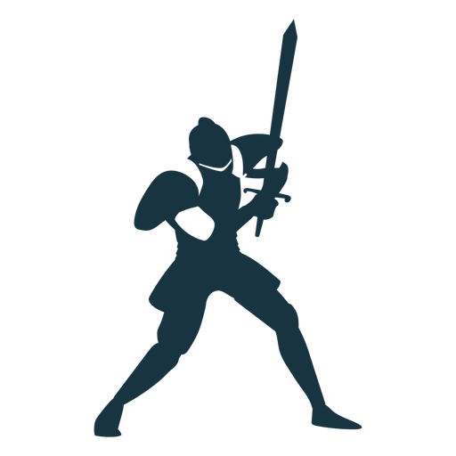
Silhueta de guerreiro e viking Desenho PNG
Escolha uma pasta
Todos os favoritos
Criar novo
Salvar
Silhueta de guerreiro e viking Desenho PNG
Medieval_RealistCountourLine - 28 Desenho PNG
Escolha uma pasta
Todos os favoritos
Criar novo
Salvar
Medieval_RealistCountourLine - 28 Desenho PNG
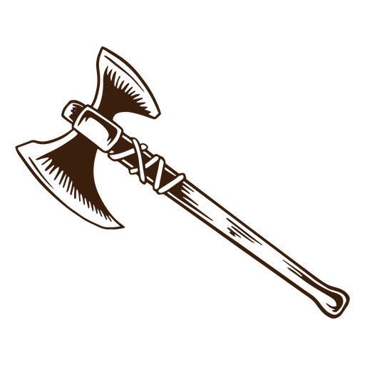
Machado viking desenhado à mão Desenho PNG
Escolha uma pasta
Todos os favoritos
Criar novo
Salvar
Machado viking desenhado à mão Desenho PNG
Raposa tribal dos vikings Desenho PNG
Escolha uma pasta
Todos os favoritos
Criar novo
Salvar
Raposa tribal dos vikings Desenho PNG
Premium
Silhueta detalhada da espada de armadura de placa de cavaleiro Desenho PNG
Escolha uma pasta
Todos os favoritos
Criar novo
Salvar
Silhueta detalhada da espada de armadura de placa de cavaleiro Desenho PNG
Premium
Silhueta de pose de ioga guerreiro iii Desenho PNG
Escolha uma pasta
Todos os favoritos
Criar novo
Salvar
Silhueta de pose de ioga guerreiro iii Desenho PNG
Premium
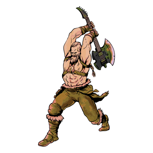
Viking segurando um machado Desenho PNG
Escolha uma pasta
Todos os favoritos
Criar novo
Salvar
Viking segurando um machado Desenho PNG
Espadas - 36 Desenho PNG
Escolha uma pasta
Todos os favoritos
Criar novo
Salvar
Espadas - 36 Desenho PNG
Chapéu jingasa do Japão desenhado à mão Desenho PNG
Escolha uma pasta
Todos os favoritos
Criar novo
Salvar
Chapéu jingasa do Japão desenhado à mão Desenho PNG
Machado semi plano antigo Desenho PNG
Escolha uma pasta
Todos os favoritos
Criar novo
Salvar
Machado semi plano antigo Desenho PNG
Espadas - 52 Desenho PNG
Escolha uma pasta
Todos os favoritos
Criar novo
Salvar
Espadas - 52 Desenho PNG
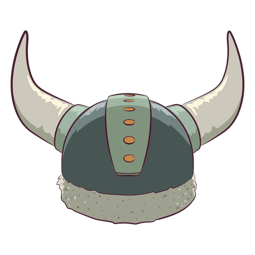
Ilustração do elemento do capacete Viking Desenho PNG
Escolha uma pasta
Todos os favoritos
Criar novo
Salvar
Ilustração do elemento do capacete Viking Desenho PNG
Archery-Bows-RealisticDetailedContourLine-Stroke-CR - 11 Desenho PNG
Escolha uma pasta
Todos os favoritos
Criar novo
Salvar
Archery-Bows-RealisticDetailedContourLine-Stroke-CR - 11 Desenho PNG
Capacete viking preto Desenho PNG
Escolha uma pasta
Todos os favoritos
Criar novo
Salvar
Capacete viking preto Desenho PNG
machado realista Desenho PNG
Escolha uma pasta
Todos os favoritos
Criar novo
Salvar
machado realista Desenho PNG
Personagens de Chibi com arco e flecha - 13 Desenho PNG
Escolha uma pasta
Todos os favoritos
Criar novo
Salvar
Personagens de Chibi com arco e flecha - 13 Desenho PNG
Povo nórdico da mulher viking guerreiro Desenho PNG
Escolha uma pasta
Todos os favoritos
Criar novo
Salvar
Povo nórdico da mulher viking guerreiro Desenho PNG
Espadas - 48 Desenho PNG
Escolha uma pasta
Todos os favoritos
Criar novo
Salvar
Espadas - 48 Desenho PNG
Medieval-RealisticSilhouette-Vinyl-CR - 14 Desenho PNG
Escolha uma pasta
Todos os favoritos
Criar novo
Salvar
Medieval-RealisticSilhouette-Vinyl-CR - 14 Desenho PNG
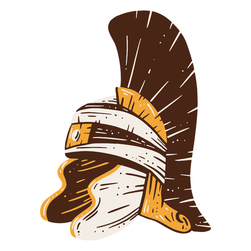
Capacete de soldado romano desenhado à mão Desenho PNG
Escolha uma pasta
Todos os favoritos
Criar novo
Salvar
Capacete de soldado romano desenhado à mão Desenho PNG
Pessoas nórdicas simples de mulher viking Desenho PNG
Escolha uma pasta
Todos os favoritos
Criar novo
Salvar
Pessoas nórdicas simples de mulher viking Desenho PNG
Premium
Escudo viking medieval para preparação de batalha Desenho PNG
Escolha uma pasta
Todos os favoritos
Criar novo
Salvar
Escudo viking medieval para preparação de batalha Desenho PNG
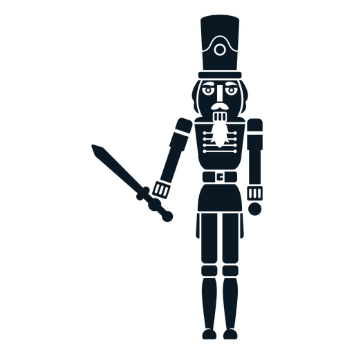
Quebra-nozes com espada Desenho PNG
Escolha uma pasta
Todos os favoritos
Criar novo
Salvar
Quebra-nozes com espada Desenho PNG
Escudo de guerra viking Desenho PNG
Escolha uma pasta
Todos os favoritos
Criar novo
Salvar
Escudo de guerra viking Desenho PNG
pássaro tribal dos vikings Desenho PNG
Escolha uma pasta
Todos os favoritos
Criar novo
Salvar
pássaro tribal dos vikings Desenho PNG
Espadas - 41 Desenho PNG
Escolha uma pasta
Todos os favoritos
Criar novo
Salvar
Espadas - 41 Desenho PNG
Impulsione seu negócio
Com a plataforma gráfica líder de mercado.
Ver planos
Próxima
do 7
prev page
next page