Biblioteca de design
Novos designs Merch
Camisetas
Vectores
Designs de Merch de Tendência
PNGs & SVGs
Mockups
Modelos de T-Shirt PSD
Explorar Desenhos
Designs KDP
Pôsteres
Canecas
Capas para celular
Sacos de compras
Almofadas
Ferramentas de desenho
Merch Designer
Novo!
Mockup Generator
Gerador de Design de AI
Vetorizador
Quote Generator
T-Shirt Maker (Antigo)
Ajuda
Merch Digest
Blog
Centro de Ajuda
Saiba mais sobre o Merch
Feedback
Soluções Corporativas
Empresa
Acesso à API
Estúdio de Design
Design em Lote
Preços
Carregando...
Inscrever-se
Conecte-se
PNGs For Merch
guerrero
Biblioteca de design
Novos designs Merch
Camisetas
Vectores
Designs de Merch de Tendência
PNGs & SVGs
Mockups
Modelos de T-Shirt PSD
Explorar Desenhos
Designs KDP
Pôsteres
Canecas
Capas para celular
Sacos de compras
Almofadas
Ferramentas de desenho
Merch Designer
Novo!
Mockup Generator
Gerador de Design de AI
Vetorizador
Quote Generator
T-Shirt Maker (Antigo)
Ajuda
Merch Digest
Blog
Centro de Ajuda
Saiba mais sobre o Merch
Feedback
Soluções Corporativas
Empresa
Acesso à API
Estúdio de Design
Design em Lote
PLANOS
PNGs For Merch
guerrero
301 Gráficos de designs PNG e SVG de guerrero
Baixar Gráficos PNG e SVG de Design com Fundo Transparente Para T-Shirts, Capas do Celular, Capas do Livros e outros Produtos Merch
Ordenar por
Mais relevante
Resultados patrocinados da
Ganhe 15% de desconto com o código: VEXELS15
veja mais detalhes
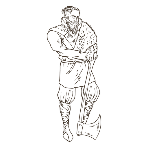
Medieval-RealisticSilhouette-Vinyl-CR - 7 Desenho PNG
Escolha uma pasta
Todos os favoritos
Criar novo
Salvar
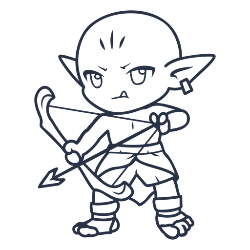
Medieval-RealisticSilhouette-Vinyl-CR - 7 Desenho PNG
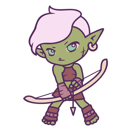
Personagens Chibi de tiro com arco - 11 Desenho PNG
Escolha uma pasta
Todos os favoritos
Criar novo
Salvar
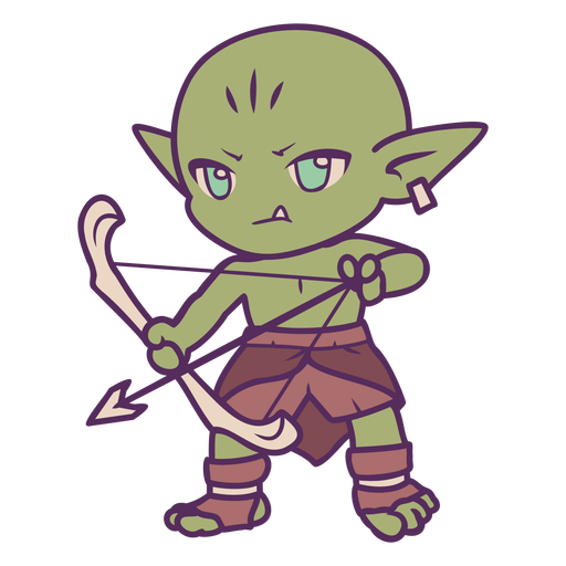
Personagens Chibi de tiro com arco - 11 Desenho PNG
Medieval-RealisticSilhouette-Vinyl-CR - 11 Desenho PNG
Escolha uma pasta
Todos os favoritos
Criar novo
Salvar
Medieval-RealisticSilhouette-Vinyl-CR - 11 Desenho PNG
Premium
Caveira viking com machado Desenho PNG
Escolha uma pasta
Todos os favoritos
Criar novo
Salvar
Caveira viking com machado Desenho PNG
Personagens de Chibi com arco e flecha - 2 Desenho PNG
Escolha uma pasta
Todos os favoritos
Criar novo
Salvar
Personagens de Chibi com arco e flecha - 2 Desenho PNG
Capacete Viking desenhado à mão Desenho PNG
Escolha uma pasta
Todos os favoritos
Criar novo
Salvar
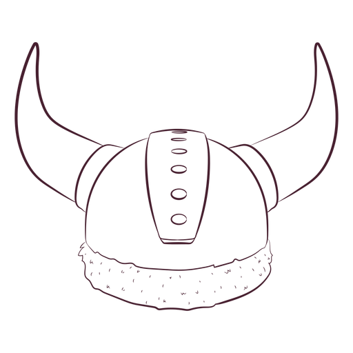
Capacete Viking desenhado à mão Desenho PNG
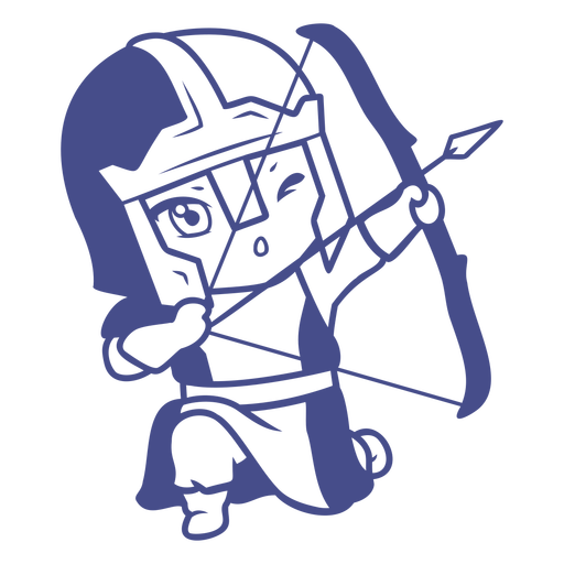
Personagem de arqueiro cavaleiro Chibi Desenho PNG
Escolha uma pasta
Todos os favoritos
Criar novo
Salvar
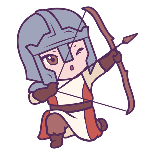
Personagem de arqueiro cavaleiro Chibi Desenho PNG
Personagens de Chibi com arco e flecha - 6 Desenho PNG
Escolha uma pasta
Todos os favoritos
Criar novo
Salvar
Personagens de Chibi com arco e flecha - 6 Desenho PNG
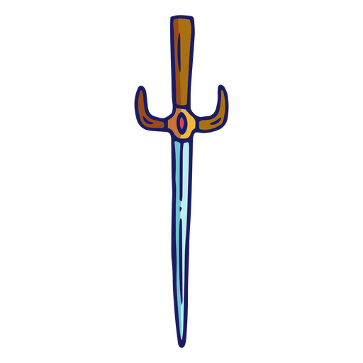
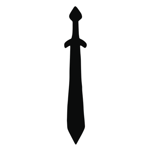
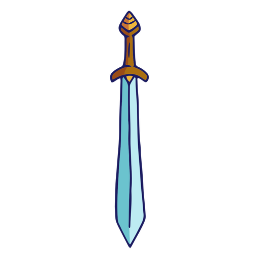
Espadas - 28 Desenho PNG
Escolha uma pasta
Todos os favoritos
Criar novo
Salvar
Espadas - 28 Desenho PNG
Espadas - 1 Desenho PNG
Escolha uma pasta
Todos os favoritos
Criar novo
Salvar
Espadas - 1 Desenho PNG
Máscara de samurai do japão Desenho PNG
Escolha uma pasta
Todos os favoritos
Criar novo
Salvar
Máscara de samurai do japão Desenho PNG
Premium
Silhueta de espada de armadura de placa de cavaleiro Desenho PNG
Escolha uma pasta
Todos os favoritos
Criar novo
Salvar
Silhueta de espada de armadura de placa de cavaleiro Desenho PNG
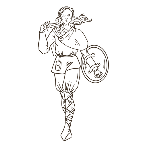
Povo nórdico simples do guerreiro da mulher viking Desenho PNG
Escolha uma pasta
Todos os favoritos
Criar novo
Salvar
Povo nórdico simples do guerreiro da mulher viking Desenho PNG
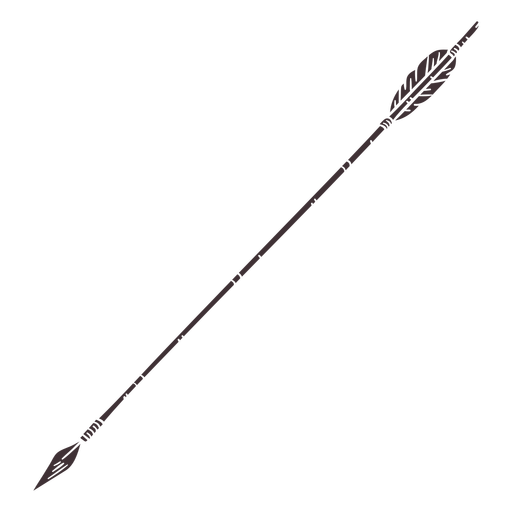
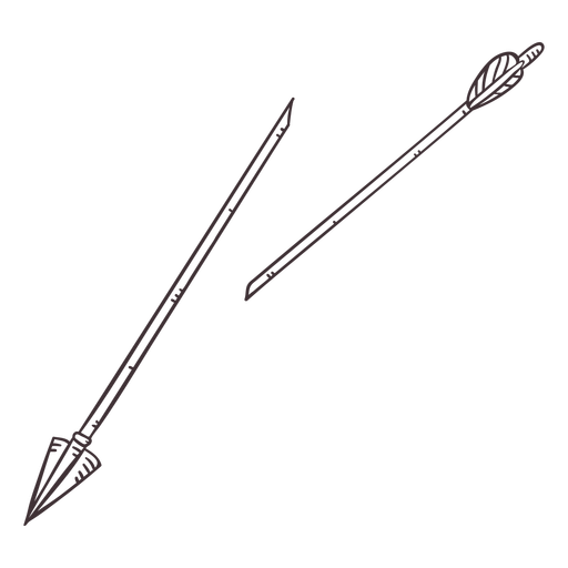
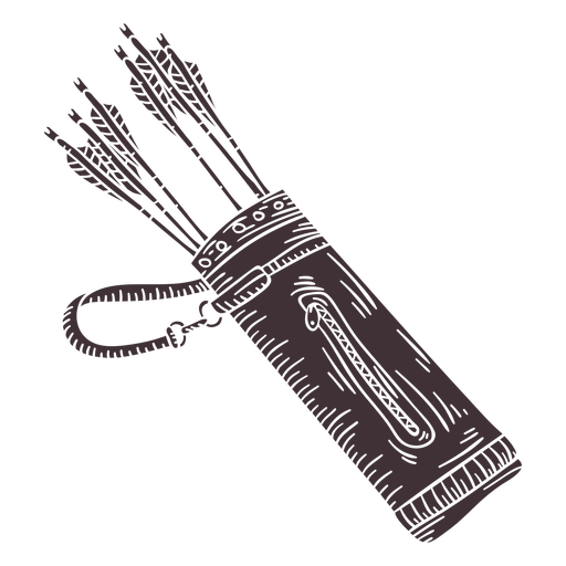
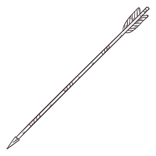
Archery-Bows-RealisticDetailedContourLine-Vinyl-CR - 8 Desenho PNG
Escolha uma pasta
Todos os favoritos
Criar novo
Salvar
Archery-Bows-RealisticDetailedContourLine-Vinyl-CR - 8 Desenho PNG
Guerra plana capacete viking Desenho PNG
Escolha uma pasta
Todos os favoritos
Criar novo
Salvar
Guerra plana capacete viking Desenho PNG
Espadas - 40 Desenho PNG
Escolha uma pasta
Todos os favoritos
Criar novo
Salvar
Espadas - 40 Desenho PNG
Chapéu de jingasa japonês Desenho PNG
Escolha uma pasta
Todos os favoritos
Criar novo
Salvar
Chapéu de jingasa japonês Desenho PNG
Traço colorido do ícone do cavalo unicórnio Desenho PNG
Escolha uma pasta
Todos os favoritos
Criar novo
Salvar
Traço colorido do ícone do cavalo unicórnio Desenho PNG
Ícone de escudo de guerra viking Desenho PNG
Escolha uma pasta
Todos os favoritos
Criar novo
Salvar
Ícone de escudo de guerra viking Desenho PNG
Premium
ícone de pássaro viking Desenho PNG
Escolha uma pasta
Todos os favoritos
Criar novo
Salvar
ícone de pássaro viking Desenho PNG
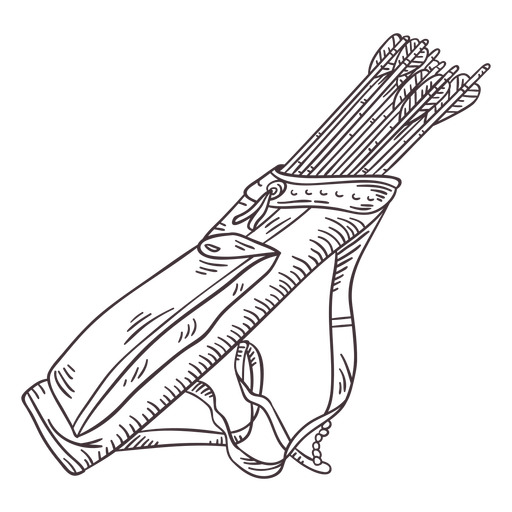
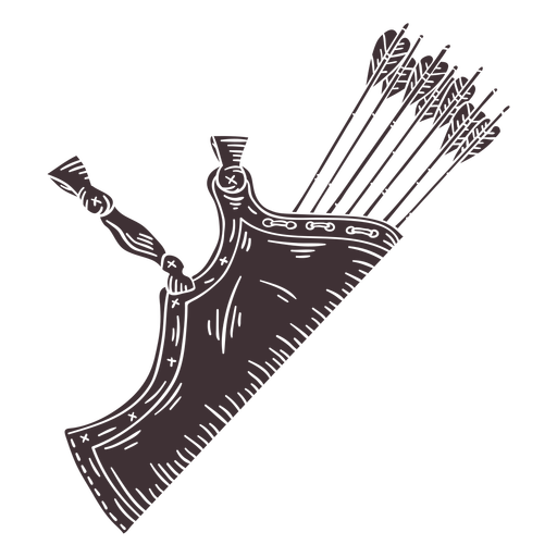
Archery-Bows-RealisticDetailedContourLine-Stroke-CR - 5 Desenho PNG
Escolha uma pasta
Todos os favoritos
Criar novo
Salvar
Archery-Bows-RealisticDetailedContourLine-Stroke-CR - 5 Desenho PNG
Archery-Bows-RealisticDetailedContourLine-Stroke-CR - 14 Desenho PNG
Escolha uma pasta
Todos os favoritos
Criar novo
Salvar
Archery-Bows-RealisticDetailedContourLine-Stroke-CR - 14 Desenho PNG
Espadas - 54 Desenho PNG
Escolha uma pasta
Todos os favoritos
Criar novo
Salvar
Espadas - 54 Desenho PNG
Espadas - 55 Desenho PNG
Escolha uma pasta
Todos os favoritos
Criar novo
Salvar
Espadas - 55 Desenho PNG
Medieval-RealisticSilhouette-Vinyl-CR - 12 Desenho PNG
Escolha uma pasta
Todos os favoritos
Criar novo
Salvar
Medieval-RealisticSilhouette-Vinyl-CR - 12 Desenho PNG
Chapéu jingasa japonês Desenho PNG
Escolha uma pasta
Todos os favoritos
Criar novo
Salvar
Chapéu jingasa japonês Desenho PNG
Personagens de Chibi com arco e flecha - 23 Desenho PNG
Escolha uma pasta
Todos os favoritos
Criar novo
Salvar
Personagens de Chibi com arco e flecha - 23 Desenho PNG
Espadas - 15 Desenho PNG
Escolha uma pasta
Todos os favoritos
Criar novo
Salvar
Espadas - 15 Desenho PNG
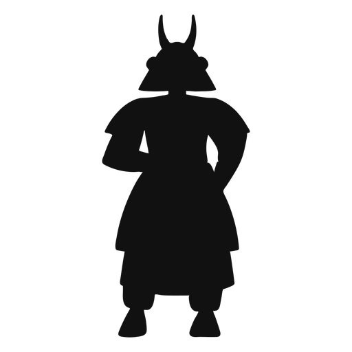
Silhueta samurai Desenho PNG
Escolha uma pasta
Todos os favoritos
Criar novo
Salvar
Silhueta samurai Desenho PNG
Premium
Ilustração de armadura de chifres de capacete viking Desenho PNG
Escolha uma pasta
Todos os favoritos
Criar novo
Salvar
Ilustração de armadura de chifres de capacete viking Desenho PNG
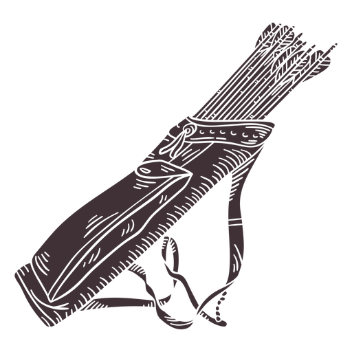
Archery-Bows-RealisticDetailedContourLine-Vinyl-CR - 11 Desenho PNG
Escolha uma pasta
Todos os favoritos
Criar novo
Salvar
Archery-Bows-RealisticDetailedContourLine-Vinyl-CR - 11 Desenho PNG
Espadas - 14 Desenho PNG
Escolha uma pasta
Todos os favoritos
Criar novo
Salvar
Espadas - 14 Desenho PNG
Ilustração de capacete Viking Desenho PNG
Escolha uma pasta
Todos os favoritos
Criar novo
Salvar
Ilustração de capacete Viking Desenho PNG
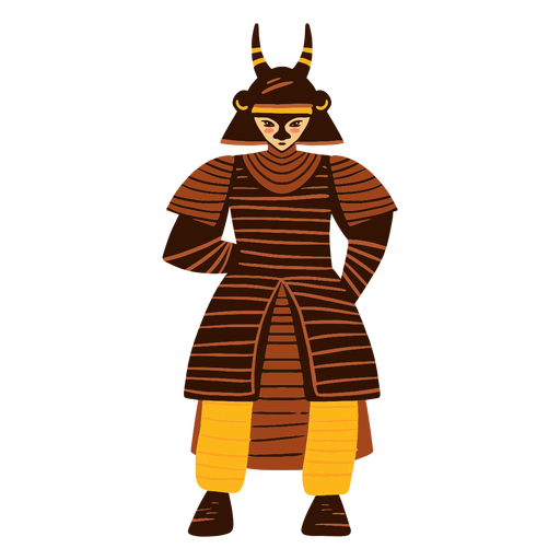
Personagem de samurai Desenho PNG
Escolha uma pasta
Todos os favoritos
Criar novo
Salvar
Personagem de samurai Desenho PNG
Curso de cavalo unicórnio Desenho PNG
Escolha uma pasta
Todos os favoritos
Criar novo
Salvar
Curso de cavalo unicórnio Desenho PNG
Premium
Coelho segurando uma espada e um escudo Desenho PNG
Escolha uma pasta
Todos os favoritos
Criar novo
Salvar
Coelho segurando uma espada e um escudo Desenho PNG
Lympho Warrior Cell Personagem Rosa Desenho PNG
Escolha uma pasta
Todos os favoritos
Criar novo
Salvar
Lympho Warrior Cell Personagem Rosa Desenho PNG
Personagem de polícia guerreiro linfo Desenho PNG
Escolha uma pasta
Todos os favoritos
Criar novo
Salvar
Personagem de polícia guerreiro linfo Desenho PNG
Espadas - 33 Desenho PNG
Escolha uma pasta
Todos os favoritos
Criar novo
Salvar
Espadas - 33 Desenho PNG
Lhama guerreiro pose de derrame de ioga Desenho PNG
Escolha uma pasta
Todos os favoritos
Criar novo
Salvar
Lhama guerreiro pose de derrame de ioga Desenho PNG
Guerra escudo Viking Desenho PNG
Escolha uma pasta
Todos os favoritos
Criar novo
Salvar
Guerra escudo Viking Desenho PNG
Povo nórdico simples do homem Viking Desenho PNG
Escolha uma pasta
Todos os favoritos
Criar novo
Salvar
Povo nórdico simples do homem Viking Desenho PNG
Archery-Bows-RealisticDetailedContourLine-Stroke-CR - 7 Desenho PNG
Escolha uma pasta
Todos os favoritos
Criar novo
Salvar
Archery-Bows-RealisticDetailedContourLine-Stroke-CR - 7 Desenho PNG
Archery-Bows-RealisticDetailedContourLine-Vinyl-CR - 3 Desenho PNG
Escolha uma pasta
Todos os favoritos
Criar novo
Salvar
Archery-Bows-RealisticDetailedContourLine-Vinyl-CR - 3 Desenho PNG
Archery-Bows-RealisticDetailedContourLine-Vinyl-CR - 13 Desenho PNG
Escolha uma pasta
Todos os favoritos
Criar novo
Salvar
Archery-Bows-RealisticDetailedContourLine-Vinyl-CR - 13 Desenho PNG
Archery-Bows-RealisticDetailedContourLine-Vinyl-CR - 14 Desenho PNG
Escolha uma pasta
Todos os favoritos
Criar novo
Salvar
Archery-Bows-RealisticDetailedContourLine-Vinyl-CR - 14 Desenho PNG
Silhueta de soldado guerreiro medieval Desenho PNG
Escolha uma pasta
Todos os favoritos
Criar novo
Salvar
Silhueta de soldado guerreiro medieval Desenho PNG
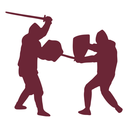
Soldados medievais lutando contra a silhueta Desenho PNG
Escolha uma pasta
Todos os favoritos
Criar novo
Salvar
Soldados medievais lutando contra a silhueta Desenho PNG
Máscara de samurai japonesa desenhada à mão Desenho PNG
Escolha uma pasta
Todos os favoritos
Criar novo
Salvar
Máscara de samurai japonesa desenhada à mão Desenho PNG
Monstro minotauro grego Desenho PNG
Escolha uma pasta
Todos os favoritos
Criar novo
Salvar
Monstro minotauro grego Desenho PNG
Impulsione seu negócio
Com a plataforma gráfica líder de mercado.
Ver planos
Próxima
do 7
prev page
next page