Biblioteca de design
Novos designs Merch
Camisetas
Vectores
Designs de Merch de Tendência
PNGs & SVGs
Mockups
Modelos de T-Shirt PSD
Explorar Desenhos
Designs KDP
Pôsteres
Canecas
Capas para celular
Sacos de compras
Almofadas
Ferramentas de desenho
Merch Designer
Novo!
Mockup Generator
Gerador de Design de AI
Vetorizador
Quote Generator
T-Shirt Maker (Antigo)
Ajuda
Merch Digest
Blog
Centro de Ajuda
Saiba mais sobre o Merch
Feedback
Soluções Corporativas
Empresa
Acesso à API
Estúdio de Design
Design em Lote
Preços
Carregando...
Inscrever-se
Conecte-se
PNGs For Merch
guerrero
Biblioteca de design
Novos designs Merch
Camisetas
Vectores
Designs de Merch de Tendência
PNGs & SVGs
Mockups
Modelos de T-Shirt PSD
Explorar Desenhos
Designs KDP
Pôsteres
Canecas
Capas para celular
Sacos de compras
Almofadas
Ferramentas de desenho
Merch Designer
Novo!
Mockup Generator
Gerador de Design de AI
Vetorizador
Quote Generator
T-Shirt Maker (Antigo)
Ajuda
Merch Digest
Blog
Centro de Ajuda
Saiba mais sobre o Merch
Feedback
Soluções Corporativas
Empresa
Acesso à API
Estúdio de Design
Design em Lote
PLANOS
PNGs For Merch
guerrero
301 Gráficos de designs PNG e SVG de guerrero
Baixar Gráficos PNG e SVG de Design com Fundo Transparente Para T-Shirts, Capas do Celular, Capas do Livros e outros Produtos Merch
Ordenar por
Mais relevante
Resultados patrocinados da
Ganhe 15% de desconto com o código: VEXELS15
veja mais detalhes
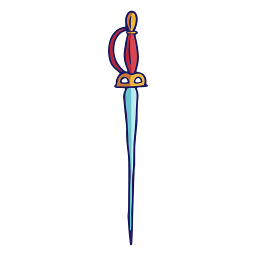
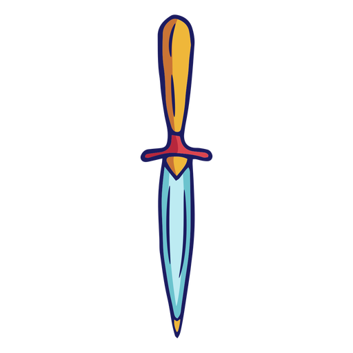
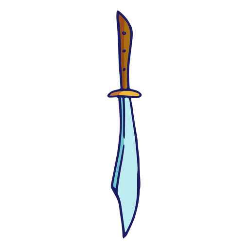
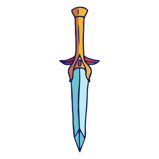
Espadas - 27 Desenho PNG
Escolha uma pasta
Todos os favoritos
Criar novo
Salvar
Espadas - 27 Desenho PNG
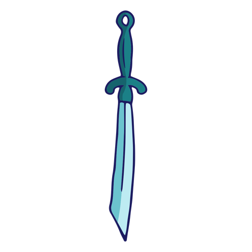
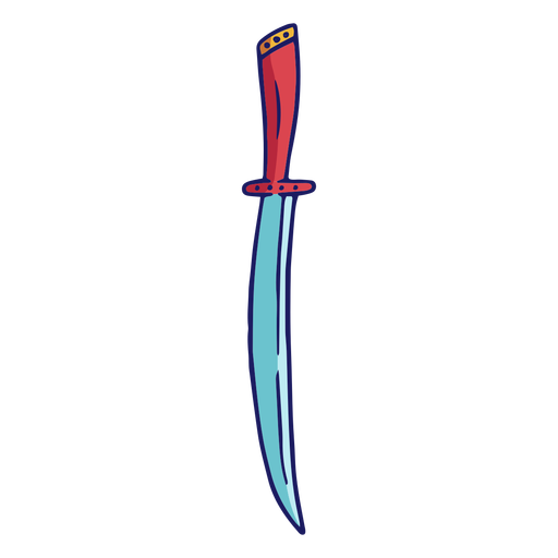
Espadas - 37 Desenho PNG
Escolha uma pasta
Todos os favoritos
Criar novo
Salvar
Espadas - 37 Desenho PNG
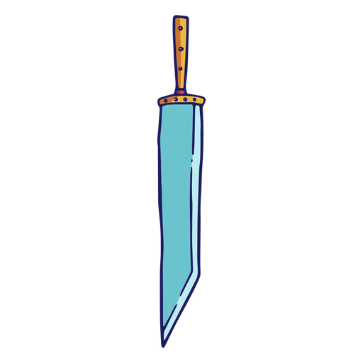
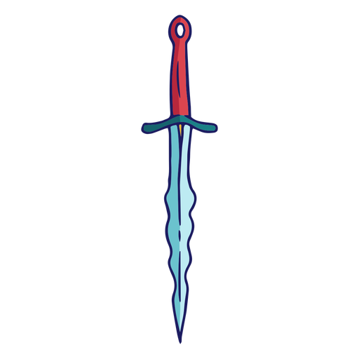
Espadas - 3 Desenho PNG
Escolha uma pasta
Todos os favoritos
Criar novo
Salvar
Espadas - 3 Desenho PNG
Espadas - 6 Desenho PNG
Escolha uma pasta
Todos os favoritos
Criar novo
Salvar
Espadas - 6 Desenho PNG
Premium
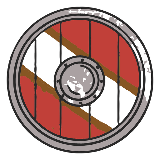
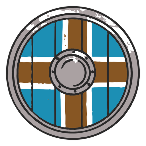
Escudo viking para guerreiros Desenho PNG
Escolha uma pasta
Todos os favoritos
Criar novo
Salvar
Escudo viking para guerreiros Desenho PNG
Premium
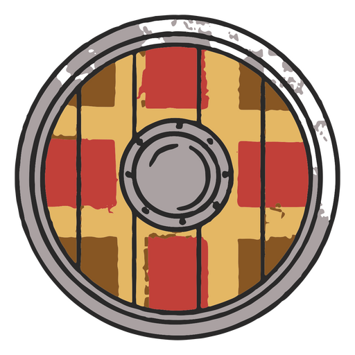
Escudo viking vintage para guerreiros Desenho PNG
Escolha uma pasta
Todos os favoritos
Criar novo
Salvar
Escudo viking vintage para guerreiros Desenho PNG
Premium
Escudo viking redondo para proteção Desenho PNG
Escolha uma pasta
Todos os favoritos
Criar novo
Salvar
Escudo viking redondo para proteção Desenho PNG
Espadas - 9 Desenho PNG
Escolha uma pasta
Todos os favoritos
Criar novo
Salvar
Espadas - 9 Desenho PNG
Espadas - 11 Desenho PNG
Escolha uma pasta
Todos os favoritos
Criar novo
Salvar
Espadas - 11 Desenho PNG
Espadas - 21 Desenho PNG
Escolha uma pasta
Todos os favoritos
Criar novo
Salvar
Espadas - 21 Desenho PNG
Espadas - 26 Desenho PNG
Escolha uma pasta
Todos os favoritos
Criar novo
Salvar
Espadas - 26 Desenho PNG
Espadas - 30 Desenho PNG
Escolha uma pasta
Todos os favoritos
Criar novo
Salvar
Espadas - 30 Desenho PNG
Espadas - 44 Desenho PNG
Escolha uma pasta
Todos os favoritos
Criar novo
Salvar
Espadas - 44 Desenho PNG
Espadas - 53 Desenho PNG
Escolha uma pasta
Todos os favoritos
Criar novo
Salvar
Espadas - 53 Desenho PNG
Espadas - 4 Desenho PNG
Escolha uma pasta
Todos os favoritos
Criar novo
Salvar
Espadas - 4 Desenho PNG
Silhueta de lutadores medievais Desenho PNG
Escolha uma pasta
Todos os favoritos
Criar novo
Salvar
Silhueta de lutadores medievais Desenho PNG
Premium
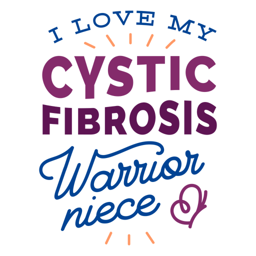
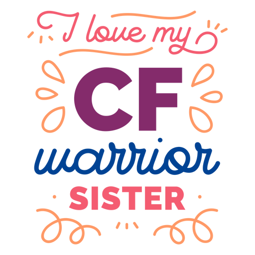
Eu amo meu distintivo de borboleta de sobrinha guerreira de fibrose cística Desenho PNG
Escolha uma pasta
Todos os favoritos
Criar novo
Salvar
Eu amo meu distintivo de borboleta de sobrinha guerreira de fibrose cística Desenho PNG
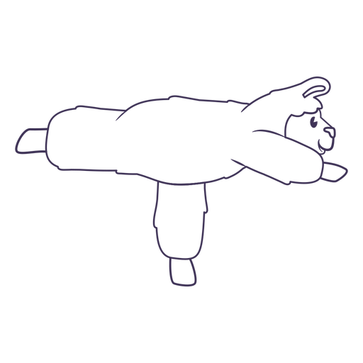
Curso de pose de guerreiro de ioga de lhama Desenho PNG
Escolha uma pasta
Todos os favoritos
Criar novo
Salvar
Curso de pose de guerreiro de ioga de lhama Desenho PNG
Premium
Eu amo meu adesivo de emblema de irmã guerreira cf Desenho PNG
Escolha uma pasta
Todos os favoritos
Criar novo
Salvar
Eu amo meu adesivo de emblema de irmã guerreira cf Desenho PNG
Eu amo meu distintivo adesivo de irmã guerreira cf Desenho PNG
Escolha uma pasta
Todos os favoritos
Criar novo
Salvar
Eu amo meu distintivo adesivo de irmã guerreira cf Desenho PNG
Premium
Escudo viking clássico para batalha Desenho PNG
Escolha uma pasta
Todos os favoritos
Criar novo
Salvar
Escudo viking clássico para batalha Desenho PNG
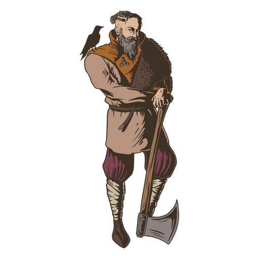
Povo nórdico do homem viking Desenho PNG
Escolha uma pasta
Todos os favoritos
Criar novo
Salvar
Povo nórdico do homem viking Desenho PNG
Personagem de desenho animado da princesa guerreira Desenho PNG
Escolha uma pasta
Todos os favoritos
Criar novo
Salvar
Personagem de desenho animado da princesa guerreira Desenho PNG
Archery-Bows-RealisticDetailedContourLine-Stroke-CR - 6 Desenho PNG
Escolha uma pasta
Todos os favoritos
Criar novo
Salvar
Archery-Bows-RealisticDetailedContourLine-Stroke-CR - 6 Desenho PNG
Archery-Bows-RealisticDetailedContourLine-Stroke-CR - 10 Desenho PNG
Escolha uma pasta
Todos os favoritos
Criar novo
Salvar
Archery-Bows-RealisticDetailedContourLine-Stroke-CR - 10 Desenho PNG
Archery-Bows-RealisticDetailedContourLine-Vinyl-CR - 0 Desenho PNG
Escolha uma pasta
Todos os favoritos
Criar novo
Salvar
Archery-Bows-RealisticDetailedContourLine-Vinyl-CR - 0 Desenho PNG
Archery-Bows-RealisticDetailedContourLine-Vinyl-CR - 4 Desenho PNG
Escolha uma pasta
Todos os favoritos
Criar novo
Salvar
Archery-Bows-RealisticDetailedContourLine-Vinyl-CR - 4 Desenho PNG
Archery-Bows-RealisticDetailedContourLine-Vinyl-CR - 10 Desenho PNG
Escolha uma pasta
Todos os favoritos
Criar novo
Salvar
Archery-Bows-RealisticDetailedContourLine-Vinyl-CR - 10 Desenho PNG
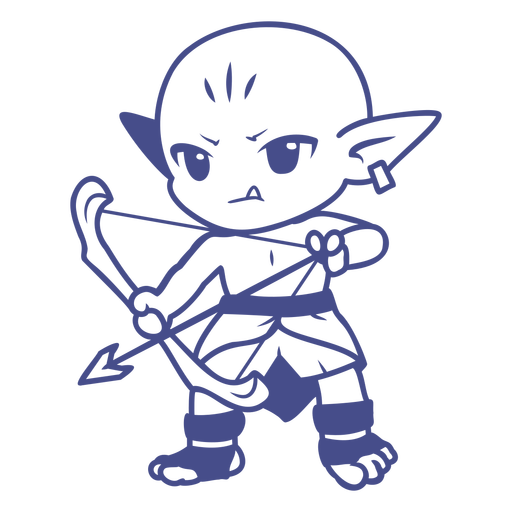
Personagens de Chibi com arco e flecha - 20 Desenho PNG
Escolha uma pasta
Todos os favoritos
Criar novo
Salvar
Personagens de Chibi com arco e flecha - 20 Desenho PNG
Espadas - 10 Desenho PNG
Escolha uma pasta
Todos os favoritos
Criar novo
Salvar
Espadas - 10 Desenho PNG
Espadas - 17 Desenho PNG
Escolha uma pasta
Todos os favoritos
Criar novo
Salvar
Espadas - 17 Desenho PNG
Espadas - 18 Desenho PNG
Escolha uma pasta
Todos os favoritos
Criar novo
Salvar
Espadas - 18 Desenho PNG
Espadas - 20 Desenho PNG
Escolha uma pasta
Todos os favoritos
Criar novo
Salvar
Espadas - 20 Desenho PNG
Espadas - 22 Desenho PNG
Escolha uma pasta
Todos os favoritos
Criar novo
Salvar
Espadas - 22 Desenho PNG
Espadas - 23 Desenho PNG
Escolha uma pasta
Todos os favoritos
Criar novo
Salvar
Espadas - 23 Desenho PNG
Espadas - 24 Desenho PNG
Escolha uma pasta
Todos os favoritos
Criar novo
Salvar
Espadas - 24 Desenho PNG
Espadas - 31 Desenho PNG
Escolha uma pasta
Todos os favoritos
Criar novo
Salvar
Espadas - 31 Desenho PNG
Espadas - 34 Desenho PNG
Escolha uma pasta
Todos os favoritos
Criar novo
Salvar
Espadas - 34 Desenho PNG
Espadas - 35 Desenho PNG
Escolha uma pasta
Todos os favoritos
Criar novo
Salvar
Espadas - 35 Desenho PNG
Espadas - 38 Desenho PNG
Escolha uma pasta
Todos os favoritos
Criar novo
Salvar
Espadas - 38 Desenho PNG
Espadas - 39 Desenho PNG
Escolha uma pasta
Todos os favoritos
Criar novo
Salvar
Espadas - 39 Desenho PNG
Espadas - 46 Desenho PNG
Escolha uma pasta
Todos os favoritos
Criar novo
Salvar
Espadas - 46 Desenho PNG
Espadas - 56 Desenho PNG
Escolha uma pasta
Todos os favoritos
Criar novo
Salvar
Espadas - 56 Desenho PNG
Espadas - 57 Desenho PNG
Escolha uma pasta
Todos os favoritos
Criar novo
Salvar
Espadas - 57 Desenho PNG
Espadas - 58 Desenho PNG
Escolha uma pasta
Todos os favoritos
Criar novo
Salvar
Espadas - 58 Desenho PNG
Espadas - 0 Desenho PNG
Escolha uma pasta
Todos os favoritos
Criar novo
Salvar
Espadas - 0 Desenho PNG
Espadas - 5 Desenho PNG
Escolha uma pasta
Todos os favoritos
Criar novo
Salvar
Espadas - 5 Desenho PNG
Espadas - 8 Desenho PNG
Escolha uma pasta
Todos os favoritos
Criar novo
Salvar
Espadas - 8 Desenho PNG
Premium
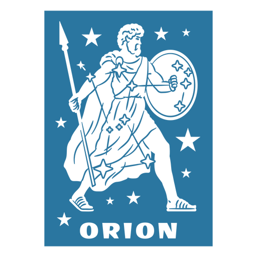
Design de Orion Desenho PNG
Escolha uma pasta
Todos os favoritos
Criar novo
Salvar
Design de Orion Desenho PNG
Premium
Viking com uma pipoca na mão Desenho PNG
Escolha uma pasta
Todos os favoritos
Criar novo
Salvar
Viking com uma pipoca na mão Desenho PNG
Impulsione seu negócio
Com a plataforma gráfica líder de mercado.
Ver planos
Próxima
do 7
prev page
next page