Biblioteca de design
Novos designs Merch
Camisetas
Vectores
Designs de Merch de Tendência
PNGs & SVGs
Mockups
Modelos de T-Shirt PSD
Explorar Desenhos
Designs KDP
Pôsteres
Canecas
Capas para celular
Sacos de compras
Almofadas
Ferramentas de desenho
Merch Designer
Novo!
Mockup Generator
Gerador de Design de AI
Vetorizador
Quote Generator
T-Shirt Maker (Antigo)
Ajuda
Merch Digest
Blog
Centro de Ajuda
Saiba mais sobre o Merch
Feedback
Soluções Corporativas
Empresa
Acesso à API
Estúdio de Design
Design em Lote
Preços
Carregando...
Inscrever-se
Conecte-se
PNGs For Merch
maps
Biblioteca de design
Novos designs Merch
Camisetas
Vectores
Designs de Merch de Tendência
PNGs & SVGs
Mockups
Modelos de T-Shirt PSD
Explorar Desenhos
Designs KDP
Pôsteres
Canecas
Capas para celular
Sacos de compras
Almofadas
Ferramentas de desenho
Merch Designer
Novo!
Mockup Generator
Gerador de Design de AI
Vetorizador
Quote Generator
T-Shirt Maker (Antigo)
Ajuda
Merch Digest
Blog
Centro de Ajuda
Saiba mais sobre o Merch
Feedback
Soluções Corporativas
Empresa
Acesso à API
Estúdio de Design
Design em Lote
PLANOS
PNGs For Merch
maps
4898 Gráficos de designs PNG e SVG de maps
Baixar Gráficos PNG e SVG de Design com Fundo Transparente Para T-Shirts, Capas do Celular, Capas do Livros e outros Produtos Merch
Relacionado:
mapas
,
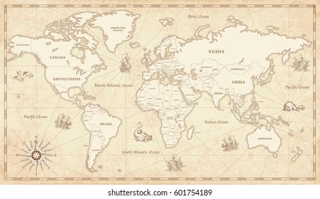
mapas do mundo
,
mapas basicos
Ordenar por
Mais relevante
Resultados patrocinados da
Ganhe 15% de desconto com o código: VEXELS15
veja mais detalhes
Premium
Ilustração de pedra da terra Desenho PNG
Escolha uma pasta
Todos os favoritos
Criar novo
Salvar
Ilustração de pedra da terra Desenho PNG
Premium
Distintivo de bandeira Argentina Desenho PNG
Escolha uma pasta
Todos os favoritos
Criar novo
Salvar
Distintivo de bandeira Argentina Desenho PNG
Premium
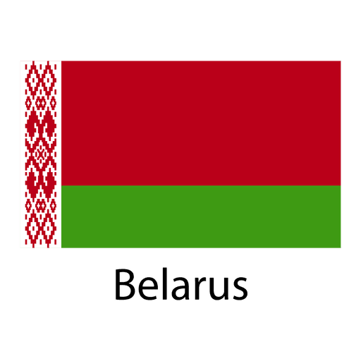
Bandeira nacional da bielorrússia Desenho PNG
Escolha uma pasta
Todos os favoritos
Criar novo
Salvar
Bandeira nacional da bielorrússia Desenho PNG
Premium
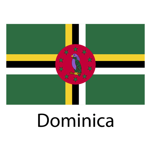
Bandeira nacional de Dominica Desenho PNG
Escolha uma pasta
Todos os favoritos
Criar novo
Salvar
Bandeira nacional de Dominica Desenho PNG
Premium
Bandeira nacional de kiribati Desenho PNG
Escolha uma pasta
Todos os favoritos
Criar novo
Salvar
Bandeira nacional de kiribati Desenho PNG
Premium
Bandeira nacional da líbia Desenho PNG
Escolha uma pasta
Todos os favoritos
Criar novo
Salvar
Bandeira nacional da líbia Desenho PNG
Premium
Maldivas bandeira nacional Desenho PNG
Escolha uma pasta
Todos os favoritos
Criar novo
Salvar
Maldivas bandeira nacional Desenho PNG
Premium
O estado da Califórnia é mostrado Desenho PNG
Escolha uma pasta
Todos os favoritos
Criar novo
Salvar
O estado da Califórnia é mostrado Desenho PNG
Mandala Monogramas Redemoinho feminino - 57 Desenho PNG
Escolha uma pasta
Todos os favoritos
Criar novo
Salvar
Mandala Monogramas Redemoinho feminino - 57 Desenho PNG
Medieval_RealistCountourLine - 53 Desenho PNG
Escolha uma pasta
Todos os favoritos
Criar novo
Salvar
Medieval_RealistCountourLine - 53 Desenho PNG
School-ClassroomIcons-Young & Sweet-VinylColor-CR - 11 Desenho PNG
Escolha uma pasta
Todos os favoritos
Criar novo
Salvar
School-ClassroomIcons-Young & Sweet-VinylColor-CR - 11 Desenho PNG
Premium
Aguascalientes mapa do estado Desenho PNG
Escolha uma pasta
Todos os favoritos
Criar novo
Salvar
Aguascalientes mapa do estado Desenho PNG
Premium
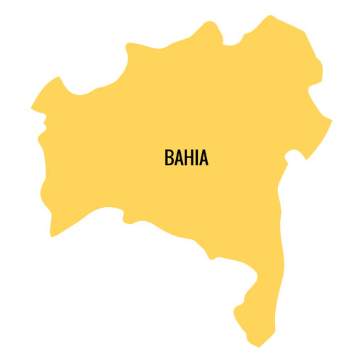
Mapa do estado da Bahia Desenho PNG
Escolha uma pasta
Todos os favoritos
Criar novo
Salvar
Mapa do estado da Bahia Desenho PNG
Premium
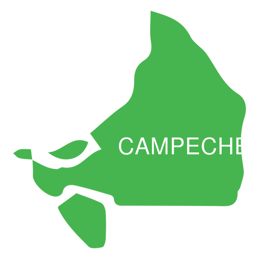
Mapa do estado de Campeche Desenho PNG
Escolha uma pasta
Todos os favoritos
Criar novo
Salvar
Mapa do estado de Campeche Desenho PNG
Premium
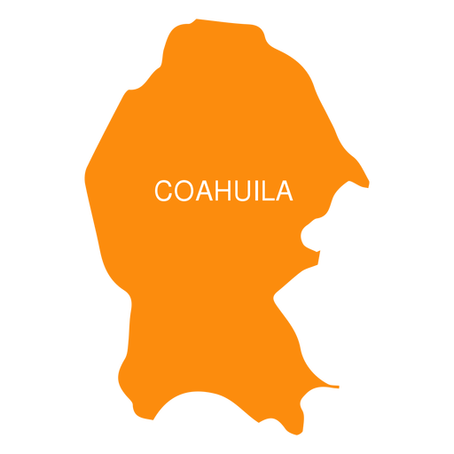
Coahuila de zaragoza mapa do estado Desenho PNG
Escolha uma pasta
Todos os favoritos
Criar novo
Salvar
Coahuila de zaragoza mapa do estado Desenho PNG
Premium
Mapa do estado de Colima Desenho PNG
Escolha uma pasta
Todos os favoritos
Criar novo
Salvar
Mapa do estado de Colima Desenho PNG
Premium
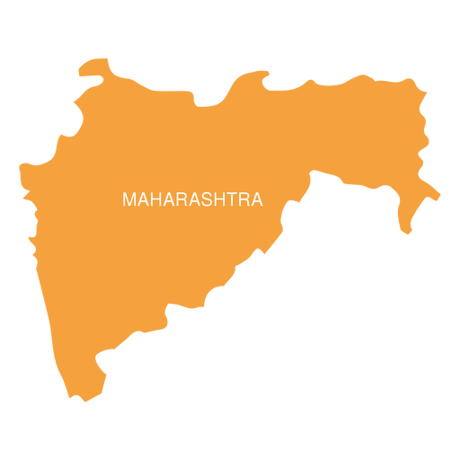
Mapa do estado de Maharashtra Desenho PNG
Escolha uma pasta
Todos os favoritos
Criar novo
Salvar
Mapa do estado de Maharashtra Desenho PNG
Premium
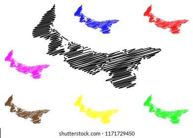
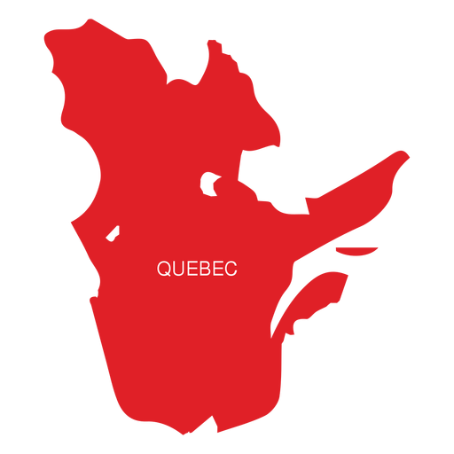
Mapa da província de Quebec Desenho PNG
Escolha uma pasta
Todos os favoritos
Criar novo
Salvar
Mapa da província de Quebec Desenho PNG
Premium
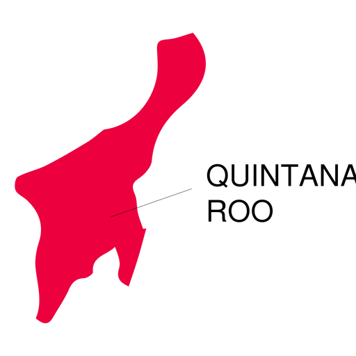
Mapa do estado de Quintana roo Desenho PNG
Escolha uma pasta
Todos os favoritos
Criar novo
Salvar
Mapa do estado de Quintana roo Desenho PNG
Silhueta do mapa dos EUA da Carolina do Norte Desenho PNG
Escolha uma pasta
Todos os favoritos
Criar novo
Salvar
Silhueta do mapa dos EUA da Carolina do Norte Desenho PNG
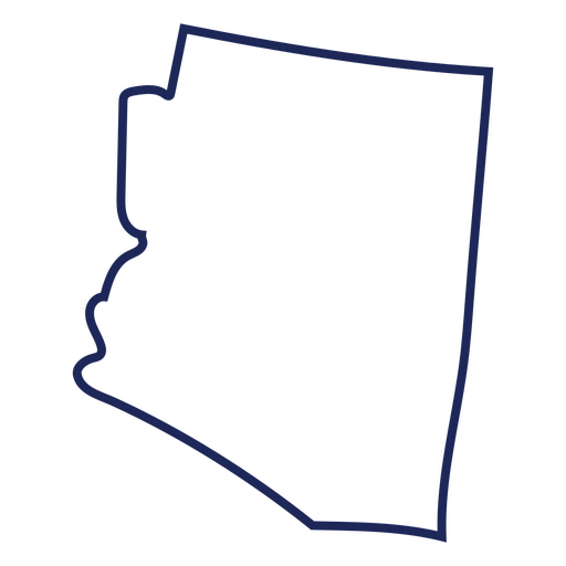
Traço de mapa do Arizona eua Desenho PNG
Escolha uma pasta
Todos os favoritos
Criar novo
Salvar
Traço de mapa do Arizona eua Desenho PNG
Desenho retro Gameboy Desenho PNG
Escolha uma pasta
Todos os favoritos
Criar novo
Salvar
Desenho retro Gameboy Desenho PNG
WizardHat - 9 Desenho PNG
Escolha uma pasta
Todos os favoritos
Criar novo
Salvar
WizardHat - 9 Desenho PNG
30-Cartas-Tarot-Vinil - 0 Desenho PNG
Escolha uma pasta
Todos os favoritos
Criar novo
Salvar
30-Cartas-Tarot-Vinil - 0 Desenho PNG
Tinta para lavagem plana de elementos de comunhão - 39 Desenho PNG
Escolha uma pasta
Todos os favoritos
Criar novo
Salvar
Tinta para lavagem plana de elementos de comunhão - 39 Desenho PNG
Desenho da bandeira em pincel da Espanha Desenho PNG
Escolha uma pasta
Todos os favoritos
Criar novo
Salvar
Desenho da bandeira em pincel da Espanha Desenho PNG
Premium
Planeta terra globo américa plana Desenho PNG
Escolha uma pasta
Todos os favoritos
Criar novo
Salvar
Planeta terra globo américa plana Desenho PNG
Premium
Bandeira do coração da República Dominicana Desenho PNG
Escolha uma pasta
Todos os favoritos
Criar novo
Salvar
Bandeira do coração da República Dominicana Desenho PNG
Premium
Mapa da província de Alberta Desenho PNG
Escolha uma pasta
Todos os favoritos
Criar novo
Salvar
Mapa da província de Alberta Desenho PNG
Premium
Emblema da bandeira da croácia Desenho PNG
Escolha uma pasta
Todos os favoritos
Criar novo
Salvar
Emblema da bandeira da croácia Desenho PNG
Premium
Bandeira nacional do Djibouti Desenho PNG
Escolha uma pasta
Todos os favoritos
Criar novo
Salvar
Bandeira nacional do Djibouti Desenho PNG
Premium
Bandeira nacional do Uzbequistão Desenho PNG
Escolha uma pasta
Todos os favoritos
Criar novo
Salvar
Bandeira nacional do Uzbequistão Desenho PNG
Premium
Logotipo do estado do Tennessee Desenho PNG
Escolha uma pasta
Todos os favoritos
Criar novo
Salvar
Logotipo do estado do Tennessee Desenho PNG
Silhueta do mapa de Indiana EUA Desenho PNG
Escolha uma pasta
Todos os favoritos
Criar novo
Salvar
Silhueta do mapa de Indiana EUA Desenho PNG
Silhueta do mapa dos EUA de Rhode Island Desenho PNG
Escolha uma pasta
Todos os favoritos
Criar novo
Salvar
Silhueta do mapa dos EUA de Rhode Island Desenho PNG
Mapa de acidente vascular cerebral do estado de New Hampshire Desenho PNG
Escolha uma pasta
Todos os favoritos
Criar novo
Salvar
Mapa de acidente vascular cerebral do estado de New Hampshire Desenho PNG
Premium
Praying hands with rosary beads color stroke Desenho PNG
Escolha uma pasta
Todos os favoritos
Criar novo
Salvar
Praying hands with rosary beads color stroke Desenho PNG
Premium
Ícone de saco de dinheiro Desenho PNG
Escolha uma pasta
Todos os favoritos
Criar novo
Salvar
Ícone de saco de dinheiro Desenho PNG
Premium
Mapa do estado do Piauí Desenho PNG
Escolha uma pasta
Todos os favoritos
Criar novo
Salvar
Mapa do estado do Piauí Desenho PNG
Premium
Bandeira do estado de Arkansas Desenho PNG
Escolha uma pasta
Todos os favoritos
Criar novo
Salvar
Bandeira do estado de Arkansas Desenho PNG
Premium
Grande animal oceano de baleias Desenho PNG
Escolha uma pasta
Todos os favoritos
Criar novo
Salvar
Grande animal oceano de baleias Desenho PNG
Premium
Bandeira nacional síria Desenho PNG
Escolha uma pasta
Todos os favoritos
Criar novo
Salvar
Bandeira nacional síria Desenho PNG
Premium
As palavras boa sorte para você em verde Desenho PNG
Escolha uma pasta
Todos os favoritos
Criar novo
Salvar
As palavras boa sorte para você em verde Desenho PNG
Premium
Horizonte da cidade alemã de Kiel Desenho PNG
Escolha uma pasta
Todos os favoritos
Criar novo
Salvar
Horizonte da cidade alemã de Kiel Desenho PNG
Mapa de acidente vascular cerebral do estado de Oregon Desenho PNG
Escolha uma pasta
Todos os favoritos
Criar novo
Salvar
Mapa de acidente vascular cerebral do estado de Oregon Desenho PNG
MentalHealth-brains-faltWashInkContourOverlay - 5 Desenho PNG
Escolha uma pasta
Todos os favoritos
Criar novo
Salvar
MentalHealth-brains-faltWashInkContourOverlay - 5 Desenho PNG
30-Cartas de Tarô-Vinil - 6 Desenho PNG
Escolha uma pasta
Todos os favoritos
Criar novo
Salvar
30-Cartas de Tarô-Vinil - 6 Desenho PNG
Premium
Círculo do ícone do idioma da bandeira da China Desenho PNG
Escolha uma pasta
Todos os favoritos
Criar novo
Salvar
Círculo do ícone do idioma da bandeira da China Desenho PNG
Premium
Mapa do estado do Paraná Desenho PNG
Escolha uma pasta
Todos os favoritos
Criar novo
Salvar
Mapa do estado do Paraná Desenho PNG
Premium
Mapa do estado de Punjab Desenho PNG
Escolha uma pasta
Todos os favoritos
Criar novo
Salvar
Mapa do estado de Punjab Desenho PNG
Impulsione seu negócio
Com a plataforma gráfica líder de mercado.
Ver planos
Próxima
do 98
prev page
next page