Biblioteca de design
Novos designs Merch
Camisetas
Vectores
Designs de Merch de Tendência
PNGs & SVGs
Mockups
Modelos de T-Shirt PSD
Explorar Desenhos
Designs KDP
Pôsteres
Canecas
Capas para celular
Sacos de compras
Almofadas
Ferramentas de desenho
Merch Designer
Novo!
Mockup Generator
Gerador de Design de AI
Vetorizador
Quote Generator
T-Shirt Maker (Antigo)
Ajuda
Merch Digest
Blog
Centro de Ajuda
Saiba mais sobre o Merch
Feedback
Soluções Corporativas
Empresa
Acesso à API
Estúdio de Design
Design em Lote
Preços
Carregando...
Inscrever-se
Conecte-se
PNGs For Merch
maps
Biblioteca de design
Novos designs Merch
Camisetas
Vectores
Designs de Merch de Tendência
PNGs & SVGs
Mockups
Modelos de T-Shirt PSD
Explorar Desenhos
Designs KDP
Pôsteres
Canecas
Capas para celular
Sacos de compras
Almofadas
Ferramentas de desenho
Merch Designer
Novo!
Mockup Generator
Gerador de Design de AI
Vetorizador
Quote Generator
T-Shirt Maker (Antigo)
Ajuda
Merch Digest
Blog
Centro de Ajuda
Saiba mais sobre o Merch
Feedback
Soluções Corporativas
Empresa
Acesso à API
Estúdio de Design
Design em Lote
PLANOS
PNGs For Merch
maps
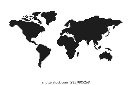
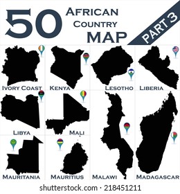
4899 Gráficos de designs PNG e SVG de maps
Baixar Gráficos PNG e SVG de Design com Fundo Transparente Para T-Shirts, Capas do Celular, Capas do Livros e outros Produtos Merch
Relacionado:
mapas
,
mapas do mundo
,
mapas basicos
Ordenar por
Mais relevante
Resultados patrocinados da
Ganhe 15% de desconto com o código: VEXELS15
veja mais detalhes
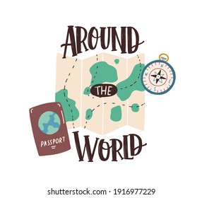
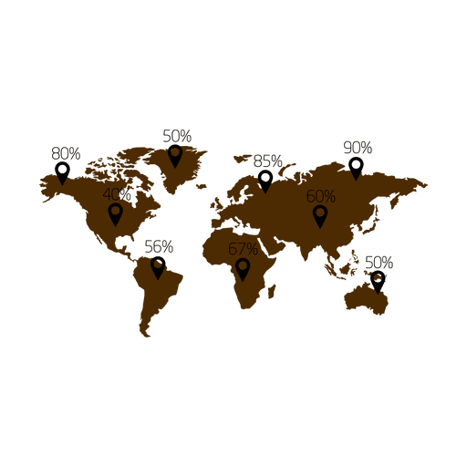
Mapa de porcentagem infograph.svg Desenho PNG
Escolha uma pasta
Todos os favoritos
Criar novo
Salvar
Mapa de porcentagem infograph.svg Desenho PNG
Premium
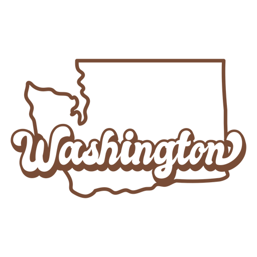
A palavra washington em marrom Desenho PNG
Escolha uma pasta
Todos os favoritos
Criar novo
Salvar
A palavra washington em marrom Desenho PNG
Premium
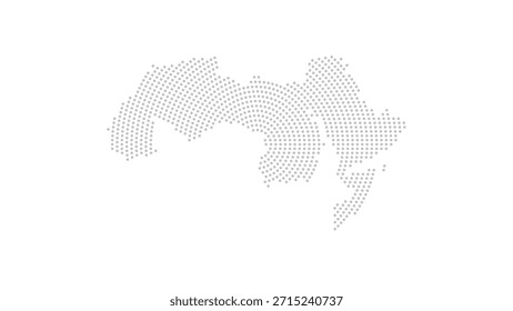
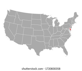
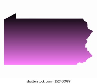
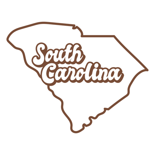
O estado da Carolina do Sul é mostrado Desenho PNG
Escolha uma pasta
Todos os favoritos
Criar novo
Salvar
O estado da Carolina do Sul é mostrado Desenho PNG
Premium
Texto cursivo sorte de ter você Desenho PNG
Escolha uma pasta
Todos os favoritos
Criar novo
Salvar
Texto cursivo sorte de ter você Desenho PNG
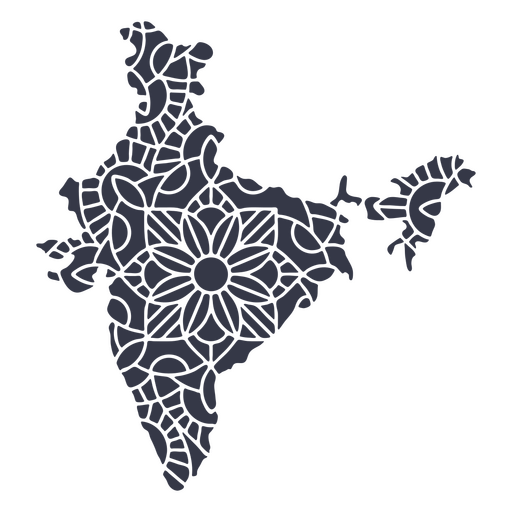
Mandala da silhueta do mapa da Índia cortada Desenho PNG
Escolha uma pasta
Todos os favoritos
Criar novo
Salvar
Mandala da silhueta do mapa da Índia cortada Desenho PNG
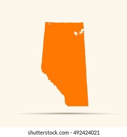
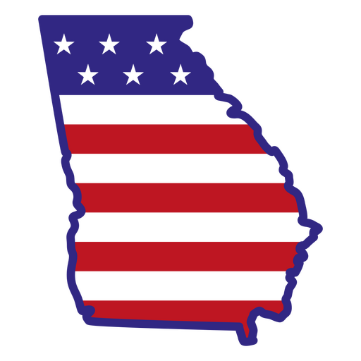
Estados de traçado de cor da Geórgia Desenho PNG
Escolha uma pasta
Todos os favoritos
Criar novo
Salvar
Estados de traçado de cor da Geórgia Desenho PNG
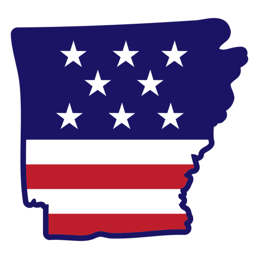
Traço de cor do mapa do Arkansas Desenho PNG
Escolha uma pasta
Todos os favoritos
Criar novo
Salvar
Traço de cor do mapa do Arkansas Desenho PNG
Mandala Monogramas Redemoinho feminino - 25 Desenho PNG
Escolha uma pasta
Todos os favoritos
Criar novo
Salvar
Mandala Monogramas Redemoinho feminino - 25 Desenho PNG
Mandala Monogramas Redemoinho feminino - 61 Desenho PNG
Escolha uma pasta
Todos os favoritos
Criar novo
Salvar
Mandala Monogramas Redemoinho feminino - 61 Desenho PNG
80sRetroElements - 2 1 Desenho PNG
Escolha uma pasta
Todos os favoritos
Criar novo
Salvar
80sRetroElements - 2 1 Desenho PNG
Anatomy-Organs-NotebookContour-VinylStroke - 4 Desenho PNG
Escolha uma pasta
Todos os favoritos
Criar novo
Salvar
Anatomy-Organs-NotebookContour-VinylStroke - 4 Desenho PNG
Decalques de parede-Vinil-CR - 28 Desenho PNG
Escolha uma pasta
Todos os favoritos
Criar novo
Salvar
Decalques de parede-Vinil-CR - 28 Desenho PNG
School-ClassroomIcons-Young & Sweet-VinylColor-CR - 15 Desenho PNG
Escolha uma pasta
Todos os favoritos
Criar novo
Salvar
School-ClassroomIcons-Young & Sweet-VinylColor-CR - 15 Desenho PNG
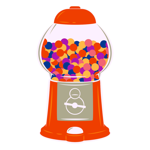
Máquina de chiclete semi plana Desenho PNG
Escolha uma pasta
Todos os favoritos
Criar novo
Salvar
Máquina de chiclete semi plana Desenho PNG
elementos náuticos - 22 Desenho PNG
Escolha uma pasta
Todos os favoritos
Criar novo
Salvar
elementos náuticos - 22 Desenho PNG
7_Vintage Etch Print_Knots_7_vinyl - 0 Desenho PNG
Escolha uma pasta
Todos os favoritos
Criar novo
Salvar
7_Vintage Etch Print_Knots_7_vinyl - 0 Desenho PNG
Tinta para lavagem plana de elementos de comunhão - 58 Desenho PNG
Escolha uma pasta
Todos os favoritos
Criar novo
Salvar
Tinta para lavagem plana de elementos de comunhão - 58 Desenho PNG
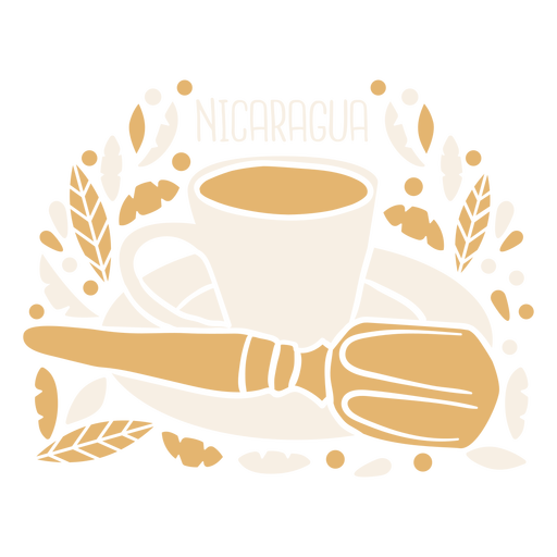
Pinolillo bebida na Nicarágua Desenho PNG
Escolha uma pasta
Todos os favoritos
Criar novo
Salvar
Pinolillo bebida na Nicarágua Desenho PNG
Premium
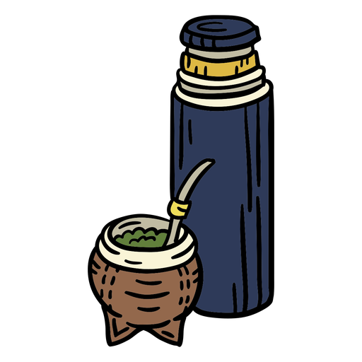
Taça de mate do Uruguai desenhada à mão Desenho PNG
Escolha uma pasta
Todos os favoritos
Criar novo
Salvar
Taça de mate do Uruguai desenhada à mão Desenho PNG
Sol argentino oficial preto Desenho PNG
Escolha uma pasta
Todos os favoritos
Criar novo
Salvar
Sol argentino oficial preto Desenho PNG
Traço do ícone do passaporte Desenho PNG
Escolha uma pasta
Todos os favoritos
Criar novo
Salvar
Traço do ícone do passaporte Desenho PNG
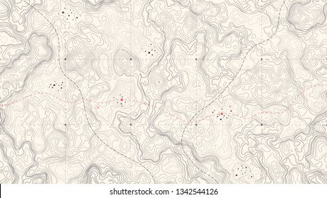
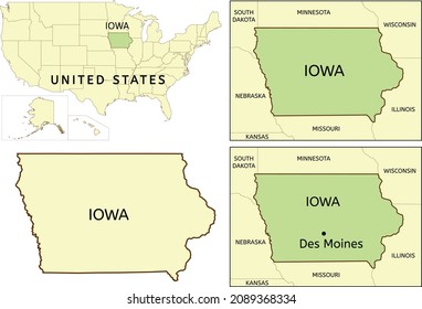
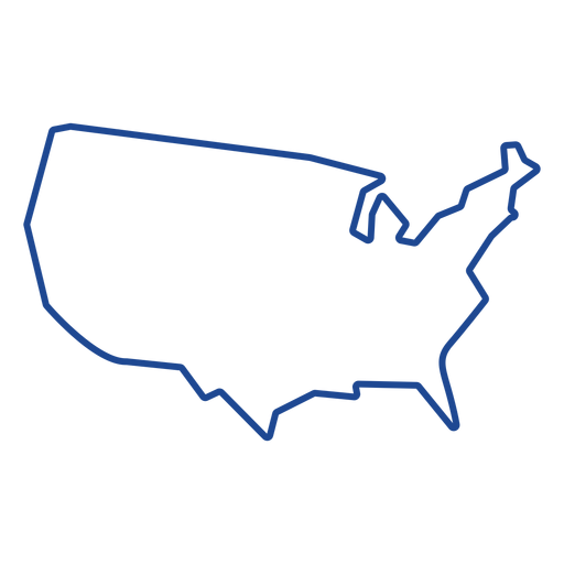
Curso de mapa dos Estados Unidos Desenho PNG
Escolha uma pasta
Todos os favoritos
Criar novo
Salvar
Curso de mapa dos Estados Unidos Desenho PNG
Premium
Instrumento de compasso Desenho PNG
Escolha uma pasta
Todos os favoritos
Criar novo
Salvar
Instrumento de compasso Desenho PNG
Acidente vascular cerebral em folha de bordo Desenho PNG
Escolha uma pasta
Todos os favoritos
Criar novo
Salvar
Acidente vascular cerebral em folha de bordo Desenho PNG
Premium
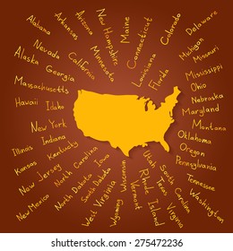
Mapa da bandeira americana plana Desenho PNG
Escolha uma pasta
Todos os favoritos
Criar novo
Salvar
Mapa da bandeira americana plana Desenho PNG
Premium
Silhueta de trenó de veado de Papai Noel Desenho PNG
Escolha uma pasta
Todos os favoritos
Criar novo
Salvar
Silhueta de trenó de veado de Papai Noel Desenho PNG
Premium
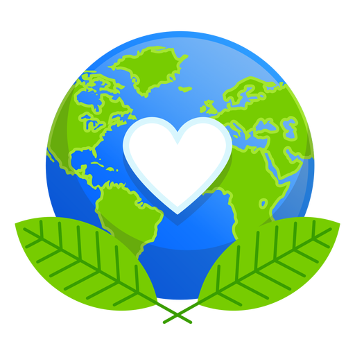
Ícone de amor da natureza terrestre Desenho PNG
Escolha uma pasta
Todos os favoritos
Criar novo
Salvar
Ícone de amor da natureza terrestre Desenho PNG
Premium
Bandeira do coração do japão Desenho PNG
Escolha uma pasta
Todos os favoritos
Criar novo
Salvar
Bandeira do coração do japão Desenho PNG
Premium
Mapa da província de Bali Desenho PNG
Escolha uma pasta
Todos os favoritos
Criar novo
Salvar
Mapa da província de Bali Desenho PNG
Premium
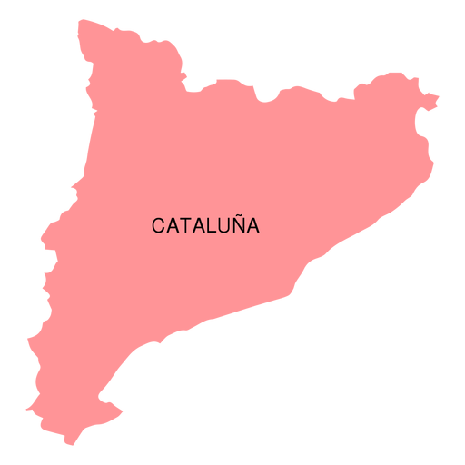
Mapa da comunidade autônoma da Catalunha Desenho PNG
Escolha uma pasta
Todos os favoritos
Criar novo
Salvar
Mapa da comunidade autônoma da Catalunha Desenho PNG
Premium
Mapa do estado de Nagaland Desenho PNG
Escolha uma pasta
Todos os favoritos
Criar novo
Salvar
Mapa do estado de Nagaland Desenho PNG
Premium
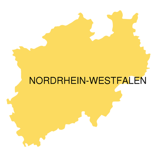
Mapa do estado de westphalia do reno norte Desenho PNG
Escolha uma pasta
Todos os favoritos
Criar novo
Salvar
Mapa do estado de westphalia do reno norte Desenho PNG
Premium
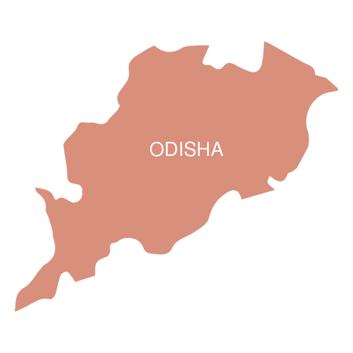
Mapa do estado de Odisha Desenho PNG
Escolha uma pasta
Todos os favoritos
Criar novo
Salvar
Mapa do estado de Odisha Desenho PNG
Premium
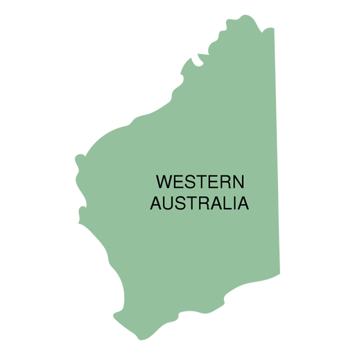
Mapa do estado da austrália ocidental Desenho PNG
Escolha uma pasta
Todos os favoritos
Criar novo
Salvar
Mapa do estado da austrália ocidental Desenho PNG
Premium
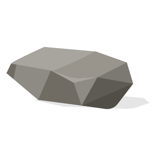
Ilustração de entulho Desenho PNG
Escolha uma pasta
Todos os favoritos
Criar novo
Salvar
Ilustração de entulho Desenho PNG
Premium
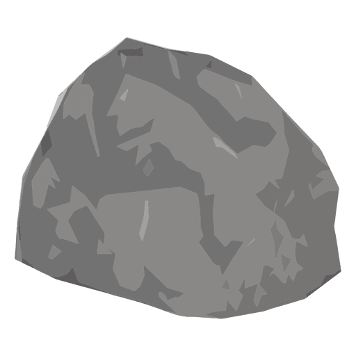
Pedra da terra Desenho PNG
Escolha uma pasta
Todos os favoritos
Criar novo
Salvar
Pedra da terra Desenho PNG
Premium
ilustração de cupcake Desenho PNG
Escolha uma pasta
Todos os favoritos
Criar novo
Salvar
ilustração de cupcake Desenho PNG
Premium
cereja ilustração cupcake Desenho PNG
Escolha uma pasta
Todos os favoritos
Criar novo
Salvar
cereja ilustração cupcake Desenho PNG
Premium
Animal aquático água-viva do oceano Desenho PNG
Escolha uma pasta
Todos os favoritos
Criar novo
Salvar
Animal aquático água-viva do oceano Desenho PNG
Premium
Mulher leitura cadeira Desenho PNG
Escolha uma pasta
Todos os favoritos
Criar novo
Salvar
Mulher leitura cadeira Desenho PNG
Premium
Pegadas de sapatos humanos Desenho PNG
Escolha uma pasta
Todos os favoritos
Criar novo
Salvar
Pegadas de sapatos humanos Desenho PNG
Globe hand sticker.svg Desenho PNG
Escolha uma pasta
Todos os favoritos
Criar novo
Salvar
Globe hand sticker.svg Desenho PNG
Premium
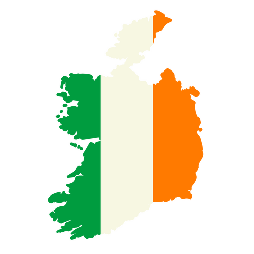
Mapa da Irlanda com a bandeira da Irlanda Desenho PNG
Escolha uma pasta
Todos os favoritos
Criar novo
Salvar
Mapa da Irlanda com a bandeira da Irlanda Desenho PNG
Premium
Adesivo do estado de Washington Desenho PNG
Escolha uma pasta
Todos os favoritos
Criar novo
Salvar
Adesivo do estado de Washington Desenho PNG
Premium
Desenho engraçado de gambá Desenho PNG
Escolha uma pasta
Todos os favoritos
Criar novo
Salvar
Desenho engraçado de gambá Desenho PNG
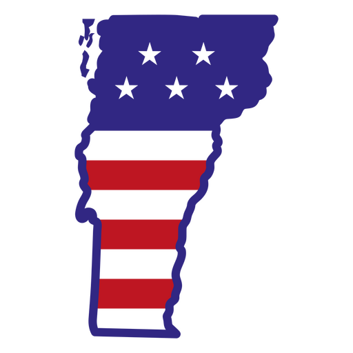
Estados de traçado de cor de Vermont Desenho PNG
Escolha uma pasta
Todos os favoritos
Criar novo
Salvar
Estados de traçado de cor de Vermont Desenho PNG
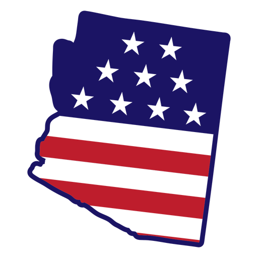
Traço de cor do estado do Arizona Desenho PNG
Escolha uma pasta
Todos os favoritos
Criar novo
Salvar
Traço de cor do estado do Arizona Desenho PNG
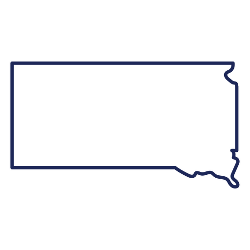
Mapa de acidente vascular cerebral do estado de Dakota do Sul Desenho PNG
Escolha uma pasta
Todos os favoritos
Criar novo
Salvar
Mapa de acidente vascular cerebral do estado de Dakota do Sul Desenho PNG
RanchFarmDecor-Icons - 4 Desenho PNG
Escolha uma pasta
Todos os favoritos
Criar novo
Salvar
RanchFarmDecor-Icons - 4 Desenho PNG
Mental_Health_Kawaii_Brains - 15 Desenho PNG
Escolha uma pasta
Todos os favoritos
Criar novo
Salvar
Mental_Health_Kawaii_Brains - 15 Desenho PNG
Impulsione seu negócio
Com a plataforma gráfica líder de mercado.
Ver planos
Próxima
do 98
prev page
next page