Biblioteca de design
Novos designs Merch
Camisetas
Vectores
Designs de Merch de Tendência
PNGs & SVGs
Mockups
Modelos de T-Shirt PSD
Explorar Desenhos
Designs KDP
Pôsteres
Canecas
Capas para celular
Sacos de compras
Almofadas
Ferramentas de desenho
Merch Designer
Novo!
Mockup Generator
Gerador de Design de AI
Vetorizador
Quote Generator
T-Shirt Maker (Antigo)
Ajuda
Merch Digest
Blog
Centro de Ajuda
Saiba mais sobre o Merch
Feedback
Soluções Corporativas
Empresa
Acesso à API
Estúdio de Design
Design em Lote
Preços
Carregando...
Inscrever-se
Conecte-se
PNGs For Merch
maps
Biblioteca de design
Novos designs Merch
Camisetas
Vectores
Designs de Merch de Tendência
PNGs & SVGs
Mockups
Modelos de T-Shirt PSD
Explorar Desenhos
Designs KDP
Pôsteres
Canecas
Capas para celular
Sacos de compras
Almofadas
Ferramentas de desenho
Merch Designer
Novo!
Mockup Generator
Gerador de Design de AI
Vetorizador
Quote Generator
T-Shirt Maker (Antigo)
Ajuda
Merch Digest
Blog
Centro de Ajuda
Saiba mais sobre o Merch
Feedback
Soluções Corporativas
Empresa
Acesso à API
Estúdio de Design
Design em Lote
PLANOS
PNGs For Merch
maps
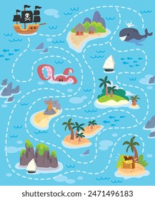
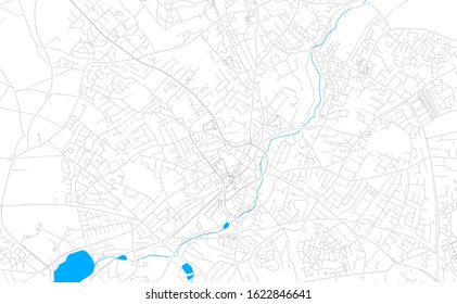
4899 Gráficos de designs PNG e SVG de maps
Baixar Gráficos PNG e SVG de Design com Fundo Transparente Para T-Shirts, Capas do Celular, Capas do Livros e outros Produtos Merch
Relacionado:
mapas
,
mapas do mundo
,
mapas basicos
Ordenar por
Mais relevante
Resultados patrocinados da
Ganhe 15% de desconto com o código: VEXELS15
veja mais detalhes
Mental_Health_Kawaii_Brains - 19 Desenho PNG
Escolha uma pasta
Todos os favoritos
Criar novo
Salvar
Mental_Health_Kawaii_Brains - 19 Desenho PNG
TurnOfTheCentury_KitchenAndTea - 15 Desenho PNG
Escolha uma pasta
Todos os favoritos
Criar novo
Salvar
TurnOfTheCentury_KitchenAndTea - 15 Desenho PNG
Estrelas azuis e vermelhas fofas Desenho PNG
Escolha uma pasta
Todos os favoritos
Criar novo
Salvar
Estrelas azuis e vermelhas fofas Desenho PNG
School-ClassroomIcons-HandCutSimpleShapes - 12 1 Desenho PNG
Escolha uma pasta
Todos os favoritos
Criar novo
Salvar
School-ClassroomIcons-HandCutSimpleShapes - 12 1 Desenho PNG
30-Cartas de Tarô-Vinil - 4 Desenho PNG
Escolha uma pasta
Todos os favoritos
Criar novo
Salvar
30-Cartas de Tarô-Vinil - 4 Desenho PNG
MagicalPotion_svg - 10 Desenho PNG
Escolha uma pasta
Todos os favoritos
Criar novo
Salvar
MagicalPotion_svg - 10 Desenho PNG
CrownsElements - 10 Desenho PNG
Escolha uma pasta
Todos os favoritos
Criar novo
Salvar
CrownsElements - 10 Desenho PNG
7_Vintage Etch Print_Knots_7_vinyl_CR - 2 Desenho PNG
Escolha uma pasta
Todos os favoritos
Criar novo
Salvar
7_Vintage Etch Print_Knots_7_vinyl_CR - 2 Desenho PNG
Angel cai em apartamento na Venezuela Desenho PNG
Escolha uma pasta
Todos os favoritos
Criar novo
Salvar
Angel cai em apartamento na Venezuela Desenho PNG
AVC Baleada honduras Desenho PNG
Escolha uma pasta
Todos os favoritos
Criar novo
Salvar
AVC Baleada honduras Desenho PNG
Golpe de harpa do paraguai Desenho PNG
Escolha uma pasta
Todos os favoritos
Criar novo
Salvar
Golpe de harpa do paraguai Desenho PNG
Vestido honduras tradicional Desenho PNG
Escolha uma pasta
Todos os favoritos
Criar novo
Salvar
Vestido honduras tradicional Desenho PNG
Planeta azul do sistema solar simples de Netuno Desenho PNG
Escolha uma pasta
Todos os favoritos
Criar novo
Salvar
Planeta azul do sistema solar simples de Netuno Desenho PNG
Premium
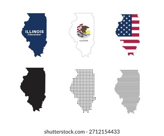
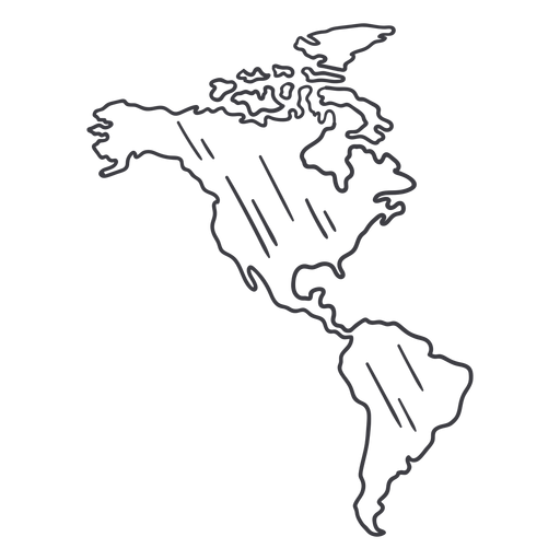
Traço de mapa da América Desenho PNG
Escolha uma pasta
Todos os favoritos
Criar novo
Salvar
Traço de mapa da América Desenho PNG
Eh na folha de bordo plana Desenho PNG
Escolha uma pasta
Todos os favoritos
Criar novo
Salvar
Eh na folha de bordo plana Desenho PNG
Ilustração de bandeira de Istambul Desenho PNG
Escolha uma pasta
Todos os favoritos
Criar novo
Salvar
Ilustração de bandeira de Istambul Desenho PNG
Bandeira do país Desenho PNG
Escolha uma pasta
Todos os favoritos
Criar novo
Salvar
Bandeira do país Desenho PNG
Globo de neve de renas Desenho PNG
Escolha uma pasta
Todos os favoritos
Criar novo
Salvar
Globo de neve de renas Desenho PNG
Globo de neve de casa de inverno Desenho PNG
Escolha uma pasta
Todos os favoritos
Criar novo
Salvar
Globo de neve de casa de inverno Desenho PNG
A terra ri em emblema de flores Desenho PNG
Escolha uma pasta
Todos os favoritos
Criar novo
Salvar
A terra ri em emblema de flores Desenho PNG
Ícone plano do globo do mundo Desenho PNG
Escolha uma pasta
Todos os favoritos
Criar novo
Salvar
Ícone plano do globo do mundo Desenho PNG
Premium
Ícone de caveira de touro de vaca Desenho PNG
Escolha uma pasta
Todos os favoritos
Criar novo
Salvar
Ícone de caveira de touro de vaca Desenho PNG
Premium
Ícone do emblema de xerife Desenho PNG
Escolha uma pasta
Todos os favoritos
Criar novo
Salvar
Ícone do emblema de xerife Desenho PNG
Premium
Ícone do idioma da bandeira do Japão Desenho PNG
Escolha uma pasta
Todos os favoritos
Criar novo
Salvar
Ícone do idioma da bandeira do Japão Desenho PNG
Premium
Ilustração de cachorro chow chow Desenho PNG
Escolha uma pasta
Todos os favoritos
Criar novo
Salvar
Ilustração de cachorro chow chow Desenho PNG
Premium
Apartamento de cachorro Desenho PNG
Escolha uma pasta
Todos os favoritos
Criar novo
Salvar
Apartamento de cachorro Desenho PNG
Premium
Ícone de sombra projetada da Terra Desenho PNG
Escolha uma pasta
Todos os favoritos
Criar novo
Salvar
Ícone de sombra projetada da Terra Desenho PNG
Premium
Ícone plano do globo terrestre Desenho PNG
Escolha uma pasta
Todos os favoritos
Criar novo
Salvar
Ícone plano do globo terrestre Desenho PNG
Premium
Bandeira do coração do Canadá Desenho PNG
Escolha uma pasta
Todos os favoritos
Criar novo
Salvar
Bandeira do coração do Canadá Desenho PNG
Premium
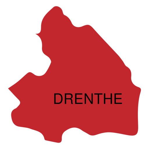
Mapa da província de Drente Desenho PNG
Escolha uma pasta
Todos os favoritos
Criar novo
Salvar
Mapa da província de Drente Desenho PNG
Premium
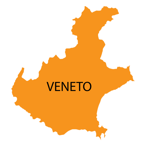
Mapa da região de Veneto Desenho PNG
Escolha uma pasta
Todos os favoritos
Criar novo
Salvar
Mapa da região de Veneto Desenho PNG
Premium
Ilustração de cupcake fofo Desenho PNG
Escolha uma pasta
Todos os favoritos
Criar novo
Salvar
Ilustração de cupcake fofo Desenho PNG
Premium
Ícone de curvas coloridas em órbita Desenho PNG
Escolha uma pasta
Todos os favoritos
Criar novo
Salvar
Ícone de curvas coloridas em órbita Desenho PNG
Premium
Amo o brilho interno Traços tracejados Desenho PNG
Escolha uma pasta
Todos os favoritos
Criar novo
Salvar
Amo o brilho interno Traços tracejados Desenho PNG
Premium
Salve nosso distintivo de planeta Desenho PNG
Escolha uma pasta
Todos os favoritos
Criar novo
Salvar
Salve nosso distintivo de planeta Desenho PNG
Premium
Silhueta de contorno de transporte de caminhão grande. Desenho PNG
Escolha uma pasta
Todos os favoritos
Criar novo
Salvar
Silhueta de contorno de transporte de caminhão grande. Desenho PNG
Premium
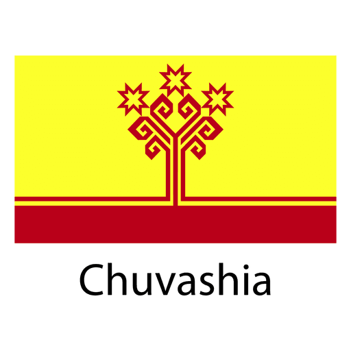
Bandeira nacional da chuvashia Desenho PNG
Escolha uma pasta
Todos os favoritos
Criar novo
Salvar
Bandeira nacional da chuvashia Desenho PNG
Premium
Bandeira nacional de Karakalpakstan Desenho PNG
Escolha uma pasta
Todos os favoritos
Criar novo
Salvar
Bandeira nacional de Karakalpakstan Desenho PNG
Premium
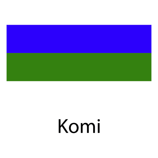
Bandeira nacional de Komi Desenho PNG
Escolha uma pasta
Todos os favoritos
Criar novo
Salvar
Bandeira nacional de Komi Desenho PNG
Premium
Número nove amarelo com uma coroa e estrelas Desenho PNG
Escolha uma pasta
Todos os favoritos
Criar novo
Salvar
Número nove amarelo com uma coroa e estrelas Desenho PNG
Premium
A bandeira da Alemanha em seu mapa Desenho PNG
Escolha uma pasta
Todos os favoritos
Criar novo
Salvar
A bandeira da Alemanha em seu mapa Desenho PNG
Premium
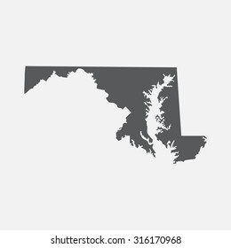
O estado da Virgínia é mostrado Desenho PNG
Escolha uma pasta
Todos os favoritos
Criar novo
Salvar
O estado da Virgínia é mostrado Desenho PNG
Premium
Contorno do mapa verde de Rhode Island Desenho PNG
Escolha uma pasta
Todos os favoritos
Criar novo
Salvar
Contorno do mapa verde de Rhode Island Desenho PNG
Premium
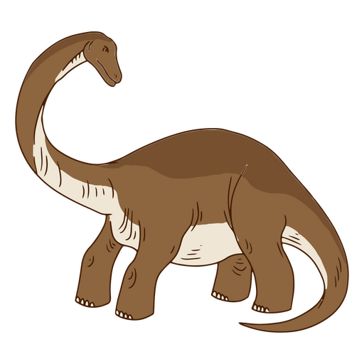
Desenho de dinossauro em pé Desenho PNG
Escolha uma pasta
Todos os favoritos
Criar novo
Salvar
Desenho de dinossauro em pé Desenho PNG
Premium
Eu te amo para sempre dragões Desenho PNG
Escolha uma pasta
Todos os favoritos
Criar novo
Salvar
Eu te amo para sempre dragões Desenho PNG
Traço de cor do mapa do Mississippi Desenho PNG
Escolha uma pasta
Todos os favoritos
Criar novo
Salvar
Traço de cor do mapa do Mississippi Desenho PNG
Silhueta do mapa dos EUA de Dakota do Norte Desenho PNG
Escolha uma pasta
Todos os favoritos
Criar novo
Salvar
Silhueta do mapa dos EUA de Dakota do Norte Desenho PNG
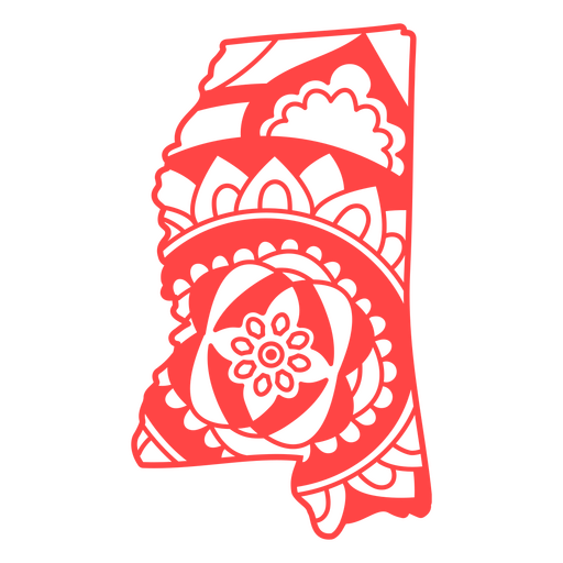
Curso de mapa de mandala do estado do Mississippi Desenho PNG
Escolha uma pasta
Todos os favoritos
Criar novo
Salvar
Curso de mapa de mandala do estado do Mississippi Desenho PNG
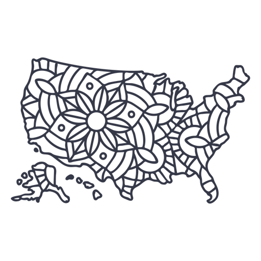
Curso de mandala de silhueta de mapa dos EUA Desenho PNG
Escolha uma pasta
Todos os favoritos
Criar novo
Salvar
Curso de mandala de silhueta de mapa dos EUA Desenho PNG
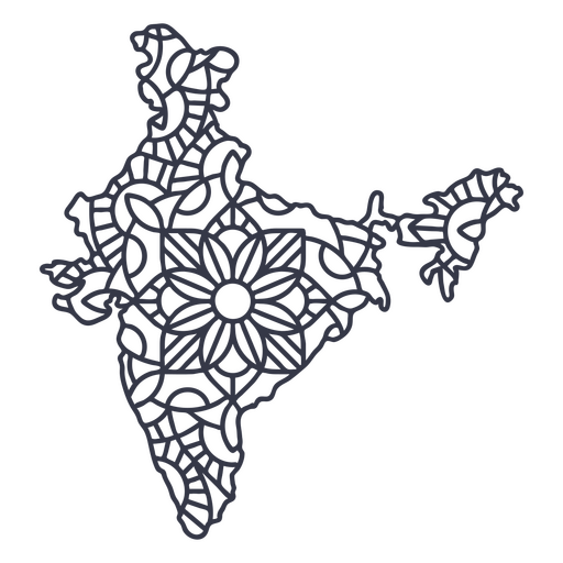
Curso de mandala de silhueta de mapa da Índia Desenho PNG
Escolha uma pasta
Todos os favoritos
Criar novo
Salvar
Curso de mandala de silhueta de mapa da Índia Desenho PNG
Impulsione seu negócio
Com a plataforma gráfica líder de mercado.
Ver planos
Próxima
do 98
prev page
next page