Biblioteca de design
Novos designs Merch
Camisetas
Vectores
Designs de Merch de Tendência
PNGs & SVGs
Mockups
Modelos de T-Shirt PSD
Explorar Desenhos
Designs KDP
Pôsteres
Canecas
Capas para celular
Sacos de compras
Almofadas
Ferramentas de desenho
Merch Designer
Novo!
Mockup Generator
Gerador de Design de AI
Vetorizador
Quote Generator
T-Shirt Maker (Antigo)
Ajuda
Merch Digest
Blog
Centro de Ajuda
Saiba mais sobre o Merch
Feedback
Soluções Corporativas
Empresa
Acesso à API
Estúdio de Design
Design em Lote
Preços
Carregando...
Inscrever-se
Conecte-se
PNGs For Merch
montana
Biblioteca de design
Novos designs Merch
Camisetas
Vectores
Designs de Merch de Tendência
PNGs & SVGs
Mockups
Modelos de T-Shirt PSD
Explorar Desenhos
Designs KDP
Pôsteres
Canecas
Capas para celular
Sacos de compras
Almofadas
Ferramentas de desenho
Merch Designer
Novo!
Mockup Generator
Gerador de Design de AI
Vetorizador
Quote Generator
T-Shirt Maker (Antigo)
Ajuda
Merch Digest
Blog
Centro de Ajuda
Saiba mais sobre o Merch
Feedback
Soluções Corporativas
Empresa
Acesso à API
Estúdio de Design
Design em Lote
PLANOS
PNGs For Merch
montana
594 Gráficos de designs PNG e SVG de montana
Baixar Gráficos PNG e SVG de Design com Fundo Transparente Para T-Shirts, Capas do Celular, Capas do Livros e outros Produtos Merch
Ordenar por
Mais relevante
Resultados patrocinados da
Ganhe 15% de desconto com o código: VEXELS15
veja mais detalhes
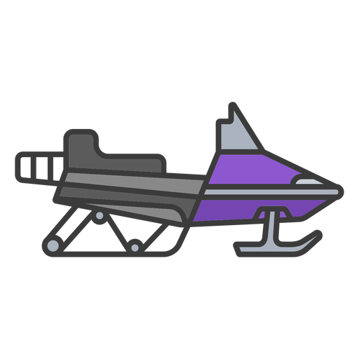
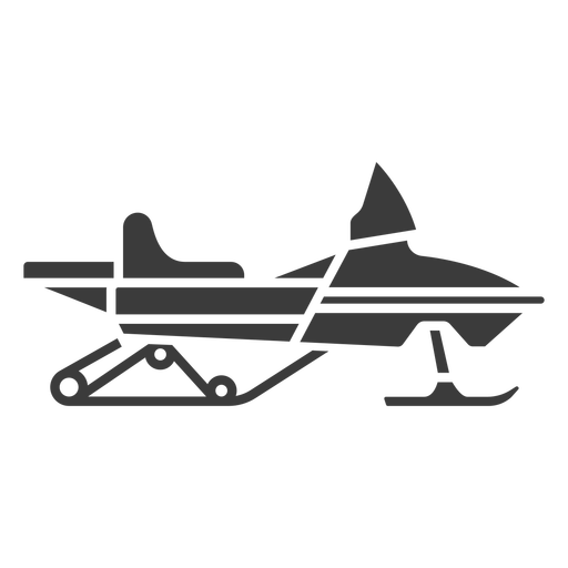
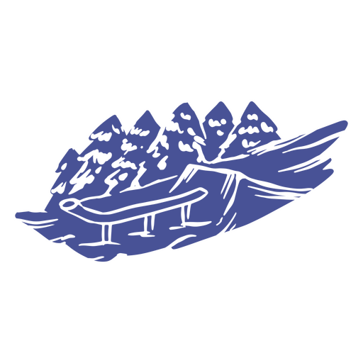
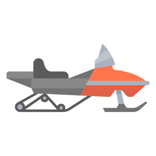
snowmobile - cor - 0 Desenho PNG
Escolha uma pasta
Todos os favoritos
Criar novo
Salvar
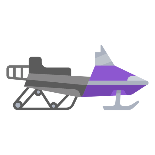
snowmobile - cor - 0 Desenho PNG
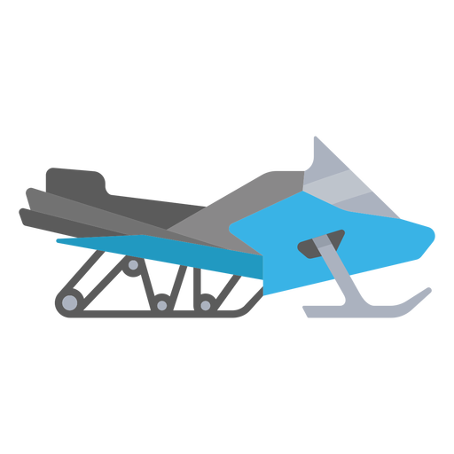
snowmobile - flat - 0 Desenho PNG
Escolha uma pasta
Todos os favoritos
Criar novo
Salvar
snowmobile - flat - 0 Desenho PNG
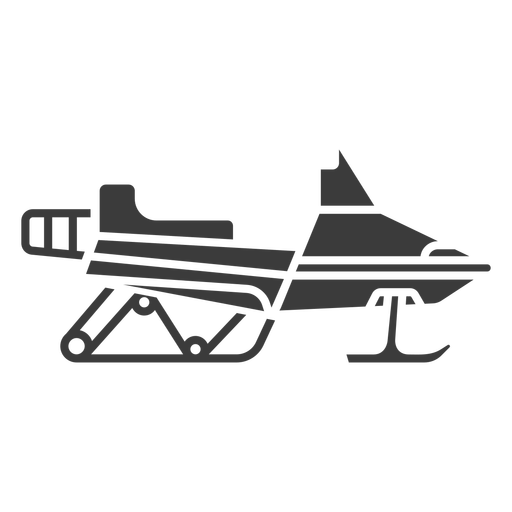
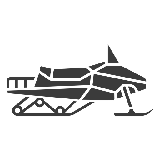
snowmobile - flat - 1 Desenho PNG
Escolha uma pasta
Todos os favoritos
Criar novo
Salvar
snowmobile - flat - 1 Desenho PNG
snowmobile - silhueta - 0 Desenho PNG
Escolha uma pasta
Todos os favoritos
Criar novo
Salvar
snowmobile - silhueta - 0 Desenho PNG
snowmobile - silhueta - 2 Desenho PNG
Escolha uma pasta
Todos os favoritos
Criar novo
Salvar
snowmobile - silhueta - 2 Desenho PNG
snowmobile - silhueta - 3 Desenho PNG
Escolha uma pasta
Todos os favoritos
Criar novo
Salvar
snowmobile - silhueta - 3 Desenho PNG
Premium
Linha de crachá de esqui máscara salva-vidas Desenho PNG
Escolha uma pasta
Todos os favoritos
Criar novo
Salvar
Linha de crachá de esqui máscara salva-vidas Desenho PNG
Premium
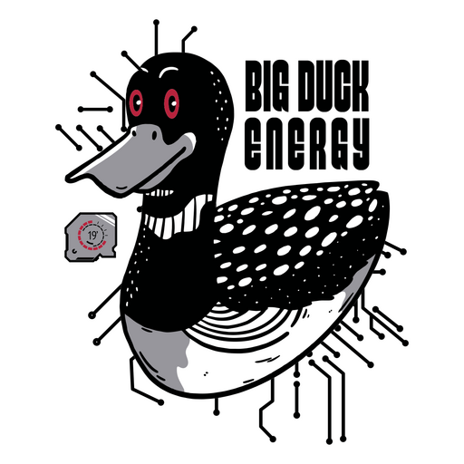
Pato com olhos vermelhos Desenho PNG
Escolha uma pasta
Todos os favoritos
Criar novo
Salvar
Pato com olhos vermelhos Desenho PNG
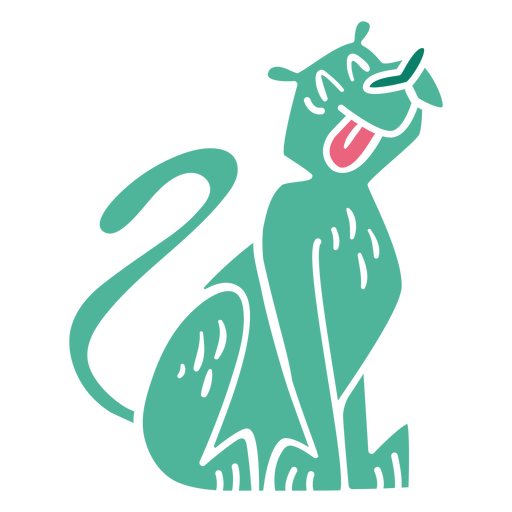
Silhueta de passeio de cachorro bávaro Desenho PNG
Escolha uma pasta
Todos os favoritos
Criar novo
Salvar
Silhueta de passeio de cachorro bávaro Desenho PNG
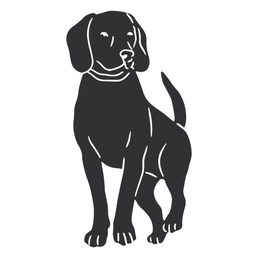
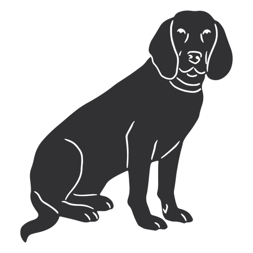
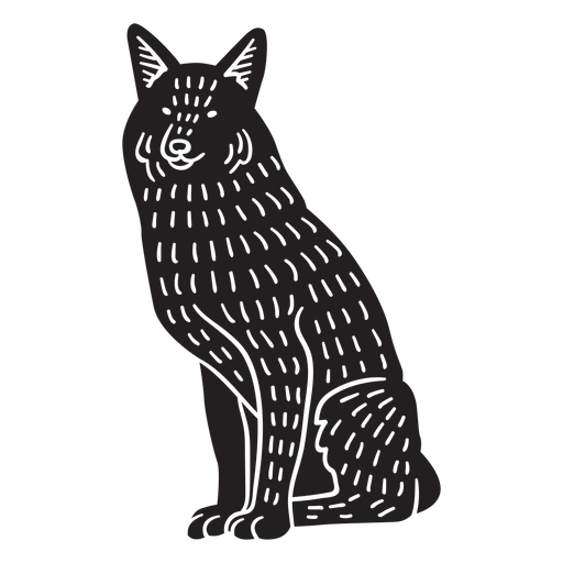
Silhueta sentada de cão bávaro Desenho PNG
Escolha uma pasta
Todos os favoritos
Criar novo
Salvar
Silhueta sentada de cão bávaro Desenho PNG
Folhas no elemento de corte de galho Desenho PNG
Escolha uma pasta
Todos os favoritos
Criar novo
Salvar
Folhas no elemento de corte de galho Desenho PNG
Elementos do fardo cortados Desenho PNG
Escolha uma pasta
Todos os favoritos
Criar novo
Salvar
Elementos do fardo cortados Desenho PNG
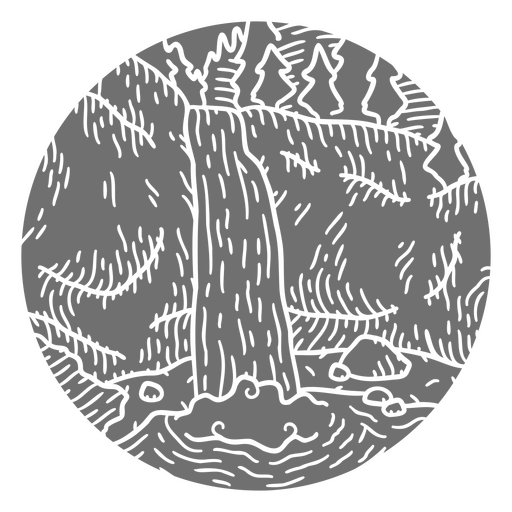
Cachoeira e floresta cortaram a paisagem Desenho PNG
Escolha uma pasta
Todos os favoritos
Criar novo
Salvar
Cachoeira e floresta cortaram a paisagem Desenho PNG
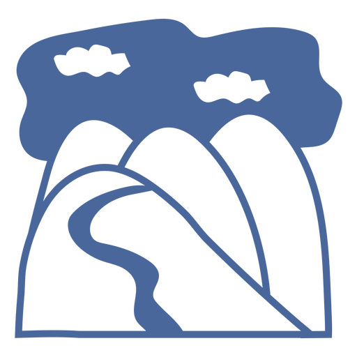
Colinas de paisagem natural cortadas Desenho PNG
Escolha uma pasta
Todos os favoritos
Criar novo
Salvar
Colinas de paisagem natural cortadas Desenho PNG
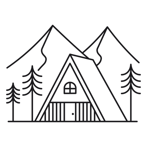
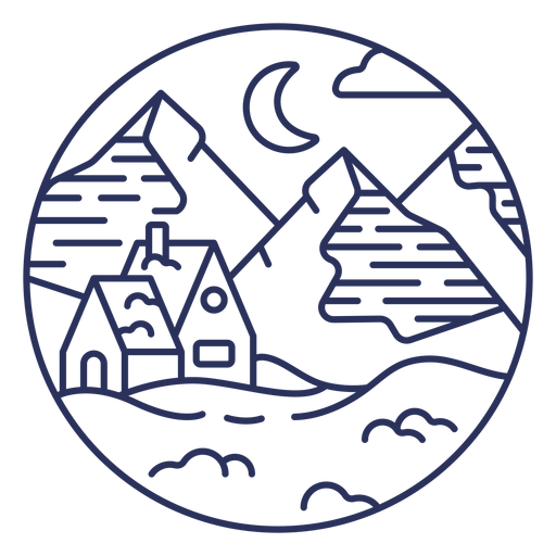
Cabine triangular no curso de montanhas Desenho PNG
Escolha uma pasta
Todos os favoritos
Criar novo
Salvar
Cabine triangular no curso de montanhas Desenho PNG
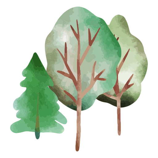
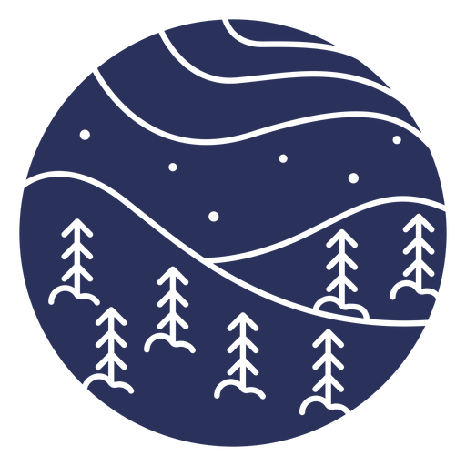
Natureza das árvores de inverno Desenho PNG
Escolha uma pasta
Todos os favoritos
Criar novo
Salvar
Natureza das árvores de inverno Desenho PNG
Natureza da neve das árvores do inverno Desenho PNG
Escolha uma pasta
Todos os favoritos
Criar novo
Salvar
Natureza da neve das árvores do inverno Desenho PNG
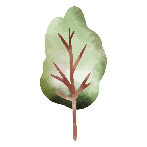
Natureza da árvore do clima de inverno Desenho PNG
Escolha uma pasta
Todos os favoritos
Criar novo
Salvar
Natureza da árvore do clima de inverno Desenho PNG
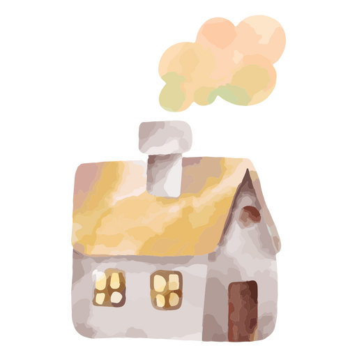
casa de clima de inverno Desenho PNG
Escolha uma pasta
Todos os favoritos
Criar novo
Salvar
casa de clima de inverno Desenho PNG
Premium
Saltos do parque de snowboard Desenho PNG
Escolha uma pasta
Todos os favoritos
Criar novo
Salvar
Saltos do parque de snowboard Desenho PNG
Premium
Grande salto de snowboard Desenho PNG
Escolha uma pasta
Todos os favoritos
Criar novo
Salvar
Grande salto de snowboard Desenho PNG
Não estrague meu distintivo de citação de vibrações Desenho PNG
Escolha uma pasta
Todos os favoritos
Criar novo
Salvar
Não estrague meu distintivo de citação de vibrações Desenho PNG
bebê - 31 Desenho PNG
Escolha uma pasta
Todos os favoritos
Criar novo
Salvar
bebê - 31 Desenho PNG
Graphic-Mono-Line-Stroke - 2 Desenho PNG
Escolha uma pasta
Todos os favoritos
Criar novo
Salvar
Graphic-Mono-Line-Stroke - 2 Desenho PNG
Animals FlatWashInk - 23 Desenho PNG
Escolha uma pasta
Todos os favoritos
Criar novo
Salvar
Animals FlatWashInk - 23 Desenho PNG
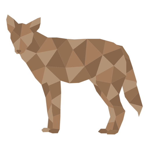
animais de baixo poli - 21 Desenho PNG
Escolha uma pasta
Todos os favoritos
Criar novo
Salvar
animais de baixo poli - 21 Desenho PNG
animais de baixo poli - 108 Desenho PNG
Escolha uma pasta
Todos os favoritos
Criar novo
Salvar
animais de baixo poli - 108 Desenho PNG
animais de baixo poli - 126 Desenho PNG
Escolha uma pasta
Todos os favoritos
Criar novo
Salvar
animais de baixo poli - 126 Desenho PNG
snowmobile - cor - 2 Desenho PNG
Escolha uma pasta
Todos os favoritos
Criar novo
Salvar
snowmobile - cor - 2 Desenho PNG
snowmobile - flat - 2 Desenho PNG
Escolha uma pasta
Todos os favoritos
Criar novo
Salvar
snowmobile - flat - 2 Desenho PNG
animals-urbanGrunge - 29 Desenho PNG
Escolha uma pasta
Todos os favoritos
Criar novo
Salvar
animals-urbanGrunge - 29 Desenho PNG
animais de baixo poli - 151 Desenho PNG
Escolha uma pasta
Todos os favoritos
Criar novo
Salvar
animais de baixo poli - 151 Desenho PNG
animais de linogravura - 10 Desenho PNG
Escolha uma pasta
Todos os favoritos
Criar novo
Salvar
animais de linogravura - 10 Desenho PNG
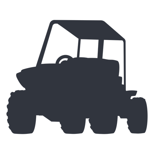
Silhueta de buggy ao ar livre Desenho PNG
Escolha uma pasta
Todos os favoritos
Criar novo
Salvar
Silhueta de buggy ao ar livre Desenho PNG
Traço do símbolo austríaco de ferrovias Desenho PNG
Escolha uma pasta
Todos os favoritos
Criar novo
Salvar
Traço do símbolo austríaco de ferrovias Desenho PNG
Curso de paisagem de neve de casa Desenho PNG
Escolha uma pasta
Todos os favoritos
Criar novo
Salvar
Curso de paisagem de neve de casa Desenho PNG
Silhueta de paisagem de neve Desenho PNG
Escolha uma pasta
Todos os favoritos
Criar novo
Salvar
Silhueta de paisagem de neve Desenho PNG
Premium
Ousando meu caminho para o Natal Desenho PNG
Escolha uma pasta
Todos os favoritos
Criar novo
Salvar
Ousando meu caminho para o Natal Desenho PNG
Premium
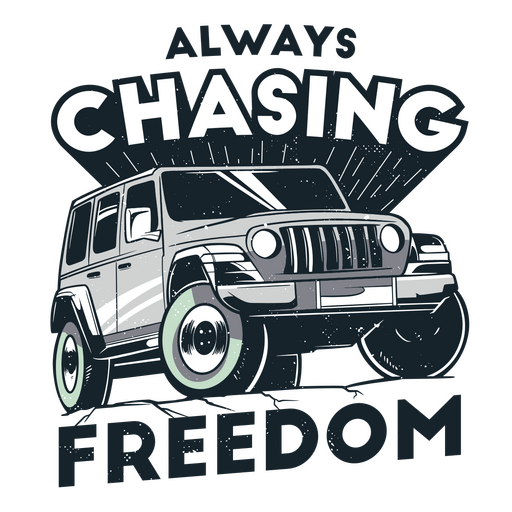
Jeep com as palavras sempre perseguindo a liberdade Desenho PNG
Escolha uma pasta
Todos os favoritos
Criar novo
Salvar
Jeep com as palavras sempre perseguindo a liberdade Desenho PNG
Premium
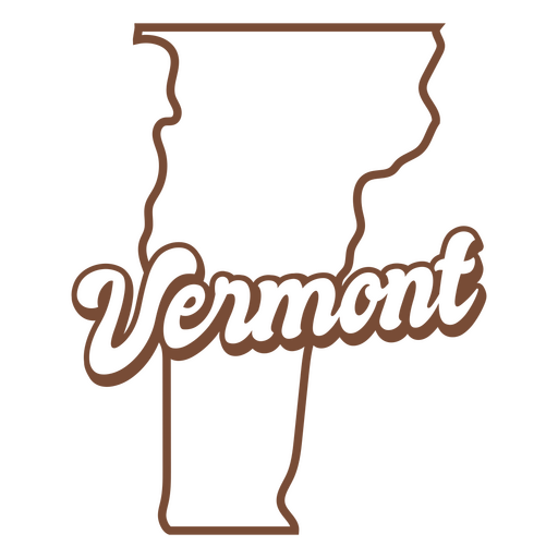
O estado de vermont é mostrado Desenho PNG
Escolha uma pasta
Todos os favoritos
Criar novo
Salvar
O estado de vermont é mostrado Desenho PNG
Premium
Desenho de monociclo Desenho PNG
Escolha uma pasta
Todos os favoritos
Criar novo
Salvar
Desenho de monociclo Desenho PNG
Premium
Dê um chute no câncer Desenho PNG
Escolha uma pasta
Todos os favoritos
Criar novo
Salvar
Dê um chute no câncer Desenho PNG
Premium
Ela acreditou que poderia, então ela fez Desenho PNG
Escolha uma pasta
Todos os favoritos
Criar novo
Salvar
Ela acreditou que poderia, então ela fez Desenho PNG
Premium
Rolando para o fim de semana Desenho PNG
Escolha uma pasta
Todos os favoritos
Criar novo
Salvar
Rolando para o fim de semana Desenho PNG
Impulsione seu negócio
Com a plataforma gráfica líder de mercado.
Ver planos
do 12
prev page
next page