Biblioteca de design
Novos designs Merch
Camisetas
Vectores
Designs de Merch de Tendência
PNGs & SVGs
Mockups
Modelos de T-Shirt PSD
Explorar Desenhos
Designs KDP
Pôsteres
Canecas
Capas para celular
Sacos de compras
Almofadas
Ferramentas de desenho
Merch Designer
Novo!
Mockup Generator
Gerador de Design de AI
Vetorizador
Quote Generator
T-Shirt Maker (Antigo)
Ajuda
Merch Digest
Blog
Centro de Ajuda
Saiba mais sobre o Merch
Feedback
Soluções Corporativas
Empresa
Acesso à API
Estúdio de Design
Design em Lote
Preços
Carregando...
Inscrever-se
Conecte-se
PNGs For Merch
montana
Biblioteca de design
Novos designs Merch
Camisetas
Vectores
Designs de Merch de Tendência
PNGs & SVGs
Mockups
Modelos de T-Shirt PSD
Explorar Desenhos
Designs KDP
Pôsteres
Canecas
Capas para celular
Sacos de compras
Almofadas
Ferramentas de desenho
Merch Designer
Novo!
Mockup Generator
Gerador de Design de AI
Vetorizador
Quote Generator
T-Shirt Maker (Antigo)
Ajuda
Merch Digest
Blog
Centro de Ajuda
Saiba mais sobre o Merch
Feedback
Soluções Corporativas
Empresa
Acesso à API
Estúdio de Design
Design em Lote
PLANOS
PNGs For Merch
montana
594 Gráficos de designs PNG e SVG de montana
Baixar Gráficos PNG e SVG de Design com Fundo Transparente Para T-Shirts, Capas do Celular, Capas do Livros e outros Produtos Merch
Ordenar por
Mais relevante
Resultados patrocinados da
Ganhe 15% de desconto com o código: VEXELS15
veja mais detalhes
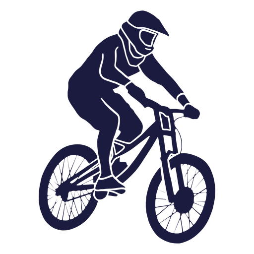
mountain-bikes - 3 Desenho PNG
Escolha uma pasta
Todos os favoritos
Criar novo
Salvar
mountain-bikes - 3 Desenho PNG
silhueta de bicicletas de montanha Desenho PNG
Escolha uma pasta
Todos os favoritos
Criar novo
Salvar
silhueta de bicicletas de montanha Desenho PNG
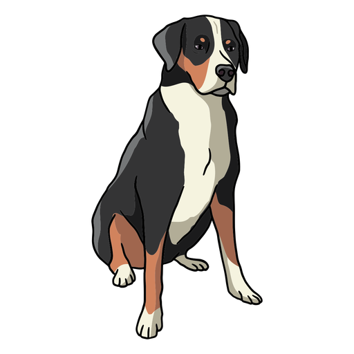
cachorro-da-montanha suíço - 0 Desenho PNG
Escolha uma pasta
Todos os favoritos
Criar novo
Salvar
cachorro-da-montanha suíço - 0 Desenho PNG
Premium
Curso de pose de montanha estendida de ioga de urso Desenho PNG
Escolha uma pasta
Todos os favoritos
Criar novo
Salvar
Curso de pose de montanha estendida de ioga de urso Desenho PNG
Premium
Paisagem da ponte de montanha Desenho PNG
Escolha uma pasta
Todos os favoritos
Criar novo
Salvar
Paisagem da ponte de montanha Desenho PNG
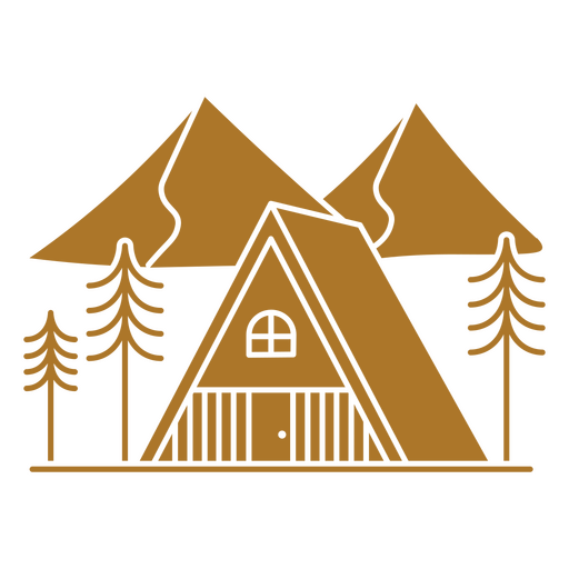
Cabana simples na montanha selvagem Desenho PNG
Escolha uma pasta
Todos os favoritos
Criar novo
Salvar
Cabana simples na montanha selvagem Desenho PNG
Tenha um design de montanha-russa quadrada azul para beber Desenho PNG
Escolha uma pasta
Todos os favoritos
Criar novo
Salvar
Tenha um design de montanha-russa quadrada azul para beber Desenho PNG
Premium
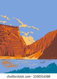
Paisagem da natureza do curso da montanha da cidade Desenho PNG
Escolha uma pasta
Todos os favoritos
Criar novo
Salvar
Paisagem da natureza do curso da montanha da cidade Desenho PNG
Premium
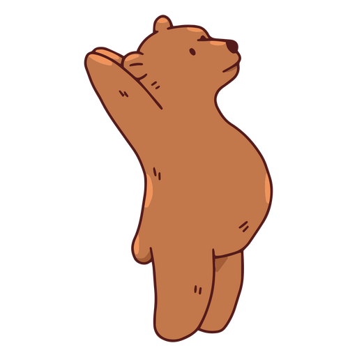
Pose de montanha estendida de ioga de urso pardo Desenho PNG
Escolha uma pasta
Todos os favoritos
Criar novo
Salvar
Pose de montanha estendida de ioga de urso pardo Desenho PNG
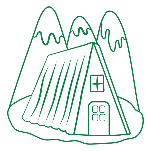
Cabana simples das montanhas Desenho PNG
Escolha uma pasta
Todos os favoritos
Criar novo
Salvar
Cabana simples das montanhas Desenho PNG
Premium
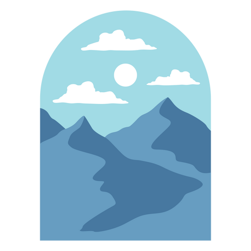
Paisagem montanhosa com céu azul e nuvens Desenho PNG
Escolha uma pasta
Todos os favoritos
Criar novo
Salvar
Paisagem montanhosa com céu azul e nuvens Desenho PNG
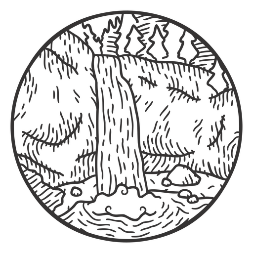
Cachoeira na paisagem de acidente vascular cerebral de montanha Desenho PNG
Escolha uma pasta
Todos os favoritos
Criar novo
Salvar
Cachoeira na paisagem de acidente vascular cerebral de montanha Desenho PNG
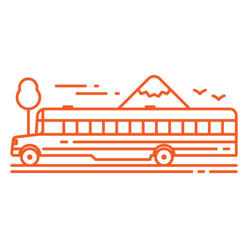
Ônibus escolar laranja e curso de montanhas Desenho PNG
Escolha uma pasta
Todos os favoritos
Criar novo
Salvar
Ônibus escolar laranja e curso de montanhas Desenho PNG
Premium
Paisagem inspiradora de montanha com design de citação sobre fé Desenho PNG
Escolha uma pasta
Todos os favoritos
Criar novo
Salvar
Paisagem inspiradora de montanha com design de citação sobre fé Desenho PNG
Premium
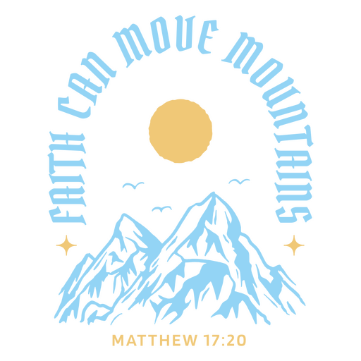
Design de camiseta com estampa de montanha inspirada na fé e referência bíblica. Desenho PNG
Escolha uma pasta
Todos os favoritos
Criar novo
Salvar
Design de camiseta com estampa de montanha inspirada na fé e referência bíblica. Desenho PNG
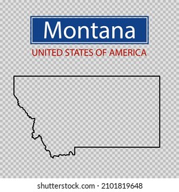
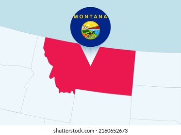
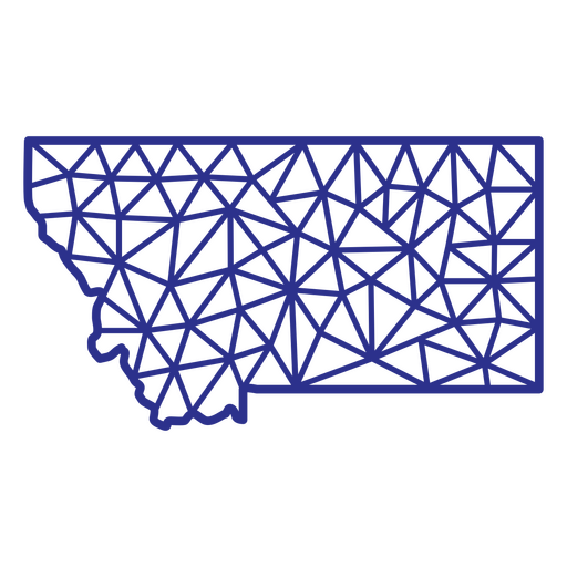
Poligonal do mapa de Montana Desenho PNG
Escolha uma pasta
Todos os favoritos
Criar novo
Salvar
Poligonal do mapa de Montana Desenho PNG
Nature_Elements - 57 Desenho PNG
Escolha uma pasta
Todos os favoritos
Criar novo
Salvar
Nature_Elements - 57 Desenho PNG
Nature_Elements - 61 Desenho PNG
Escolha uma pasta
Todos os favoritos
Criar novo
Salvar
Nature_Elements - 61 Desenho PNG
Nature_Elements - 66 Desenho PNG
Escolha uma pasta
Todos os favoritos
Criar novo
Salvar
Nature_Elements - 66 Desenho PNG
Premium
Alpinismo caminhadas na neve Desenho PNG
Escolha uma pasta
Todos os favoritos
Criar novo
Salvar
Alpinismo caminhadas na neve Desenho PNG
Premium
Neve alpinismo Desenho PNG
Escolha uma pasta
Todos os favoritos
Criar novo
Salvar
Neve alpinismo Desenho PNG
Premium
Silhueta caminhadas ao ar livre Desenho PNG
Escolha uma pasta
Todos os favoritos
Criar novo
Salvar
Silhueta caminhadas ao ar livre Desenho PNG
Premium
Caminhadas silhueta de homem Desenho PNG
Escolha uma pasta
Todos os favoritos
Criar novo
Salvar
Caminhadas silhueta de homem Desenho PNG
ícone de montanhas minimalistas Desenho PNG
Escolha uma pasta
Todos os favoritos
Criar novo
Salvar
ícone de montanhas minimalistas Desenho PNG
HatDecals-DobleImage - 49 Desenho PNG
Escolha uma pasta
Todos os favoritos
Criar novo
Salvar
HatDecals-DobleImage - 49 Desenho PNG
Premium
alpinista Desenho PNG
Escolha uma pasta
Todos os favoritos
Criar novo
Salvar
alpinista Desenho PNG
Letras de citação de campista feliz Desenho PNG
Escolha uma pasta
Todos os favoritos
Criar novo
Salvar
Letras de citação de campista feliz Desenho PNG
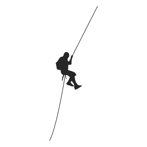
Silhueta de alpinista Desenho PNG
Escolha uma pasta
Todos os favoritos
Criar novo
Salvar
Silhueta de alpinista Desenho PNG
Premium
Caminhada silhueta de aventura Desenho PNG
Escolha uma pasta
Todos os favoritos
Criar novo
Salvar
Caminhada silhueta de aventura Desenho PNG
Nature_Elements - 2 Desenho PNG
Escolha uma pasta
Todos os favoritos
Criar novo
Salvar
Nature_Elements - 2 Desenho PNG
Silhueta de acrobacias de bicicleta BMX Desenho PNG
Escolha uma pasta
Todos os favoritos
Criar novo
Salvar
Silhueta de acrobacias de bicicleta BMX Desenho PNG
CustomizableBlanks_GeometricSanSerif_vinyl - 6 Desenho PNG
Escolha uma pasta
Todos os favoritos
Criar novo
Salvar
CustomizableBlanks_GeometricSanSerif_vinyl - 6 Desenho PNG
Premium
Silhueta de alpinista 3 Desenho PNG
Escolha uma pasta
Todos os favoritos
Criar novo
Salvar
Silhueta de alpinista 3 Desenho PNG
Premium
Caminhadas silhueta ao ar livre Desenho PNG
Escolha uma pasta
Todos os favoritos
Criar novo
Salvar
Caminhadas silhueta ao ar livre Desenho PNG
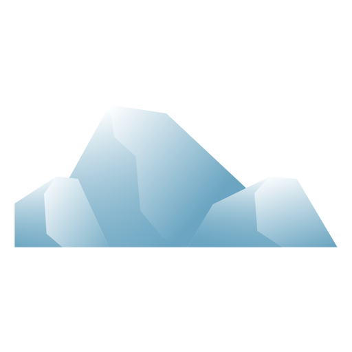
Iceberg plano Desenho PNG
Escolha uma pasta
Todos os favoritos
Criar novo
Salvar
Iceberg plano Desenho PNG
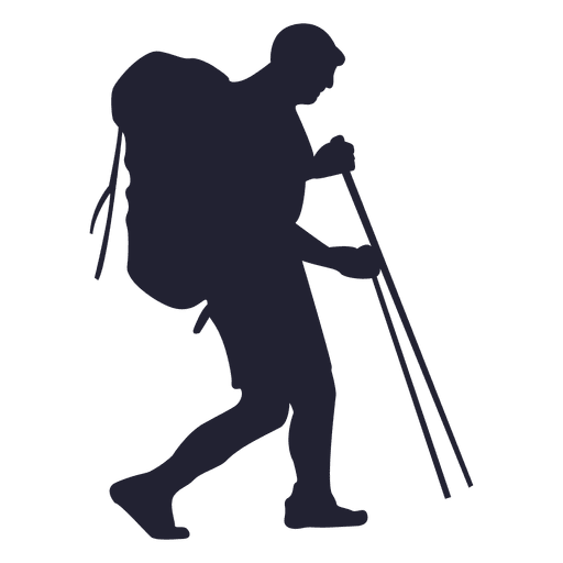
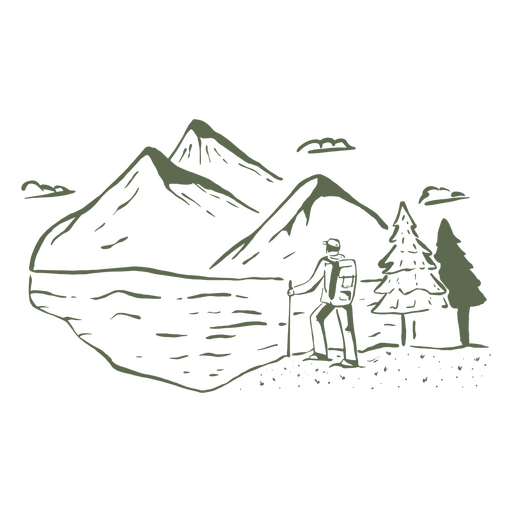
Pessoa caminhando montanhas Desenho PNG
Escolha uma pasta
Todos os favoritos
Criar novo
Salvar
Pessoa caminhando montanhas Desenho PNG
HatDecals-Icons - 34 Desenho PNG
Escolha uma pasta
Todos os favoritos
Criar novo
Salvar
HatDecals-Icons - 34 Desenho PNG
descida - 0 Desenho PNG
Escolha uma pasta
Todos os favoritos
Criar novo
Salvar
descida - 0 Desenho PNG
Premium
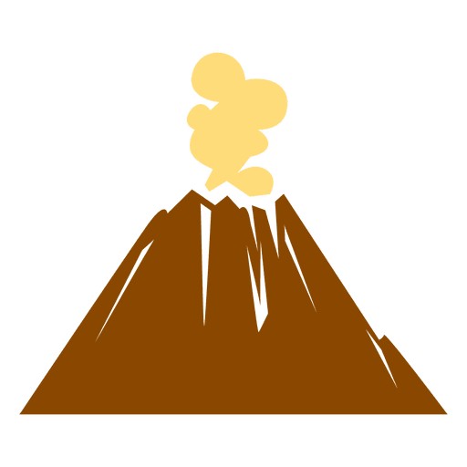
Ícone de vulcão Desenho PNG
Escolha uma pasta
Todos os favoritos
Criar novo
Salvar
Ícone de vulcão Desenho PNG
Premium
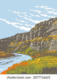
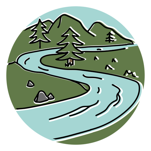
Paisagem de montanhas e curso de rio Desenho PNG
Escolha uma pasta
Todos os favoritos
Criar novo
Salvar
Paisagem de montanhas e curso de rio Desenho PNG
Nature_Elements - 17 Desenho PNG
Escolha uma pasta
Todos os favoritos
Criar novo
Salvar
Nature_Elements - 17 Desenho PNG
Premium
Férias de alpinismo na neve Desenho PNG
Escolha uma pasta
Todos os favoritos
Criar novo
Salvar
Férias de alpinismo na neve Desenho PNG
Premium
Logotipo do resort nas montanhas Desenho PNG
Escolha uma pasta
Todos os favoritos
Criar novo
Salvar
Logotipo do resort nas montanhas Desenho PNG
descida - 4 Desenho PNG
Escolha uma pasta
Todos os favoritos
Criar novo
Salvar
descida - 4 Desenho PNG
Yeti sorridente fofo Desenho PNG
Escolha uma pasta
Todos os favoritos
Criar novo
Salvar
Yeti sorridente fofo Desenho PNG
Silhueta de alpinismo de mulher Desenho PNG
Escolha uma pasta
Todos os favoritos
Criar novo
Salvar
Silhueta de alpinismo de mulher Desenho PNG
Aventura aguarda emblema de viagem Desenho PNG
Escolha uma pasta
Todos os favoritos
Criar novo
Salvar
Aventura aguarda emblema de viagem Desenho PNG
snowboard - 8 Desenho PNG
Escolha uma pasta
Todos os favoritos
Criar novo
Salvar
snowboard - 8 Desenho PNG
Premium
Círculo de paisagem de veado Desenho PNG
Escolha uma pasta
Todos os favoritos
Criar novo
Salvar
Círculo de paisagem de veado Desenho PNG
Amo acampar Desenho PNG
Escolha uma pasta
Todos os favoritos
Criar novo
Salvar
Amo acampar Desenho PNG
Impulsione seu negócio
Com a plataforma gráfica líder de mercado.
Ver planos
Próxima
do 12
prev page
next page