Biblioteca de design
Novos designs Merch
Camisetas
Vectores
Designs de Merch de Tendência
PNGs & SVGs
Mockups
Modelos de T-Shirt PSD
Explorar Desenhos
Designs KDP
Pôsteres
Canecas
Capas para celular
Sacos de compras
Almofadas
Ferramentas de desenho
Merch Designer
Novo!
Mockup Generator
Gerador de Design de AI
Vetorizador
Quote Generator
T-Shirt Maker (Antigo)
Ajuda
Merch Digest
Blog
Centro de Ajuda
Saiba mais sobre o Merch
Feedback
Soluções Corporativas
Empresa
Acesso à API
Estúdio de Design
Design em Lote
Preços
Carregando...
Inscrever-se
Conecte-se
PNGs For Merch
montana
Biblioteca de design
Novos designs Merch
Camisetas
Vectores
Designs de Merch de Tendência
PNGs & SVGs
Mockups
Modelos de T-Shirt PSD
Explorar Desenhos
Designs KDP
Pôsteres
Canecas
Capas para celular
Sacos de compras
Almofadas
Ferramentas de desenho
Merch Designer
Novo!
Mockup Generator
Gerador de Design de AI
Vetorizador
Quote Generator
T-Shirt Maker (Antigo)
Ajuda
Merch Digest
Blog
Centro de Ajuda
Saiba mais sobre o Merch
Feedback
Soluções Corporativas
Empresa
Acesso à API
Estúdio de Design
Design em Lote
PLANOS
PNGs For Merch
montana
594 Gráficos de designs PNG e SVG de montana
Baixar Gráficos PNG e SVG de Design com Fundo Transparente Para T-Shirts, Capas do Celular, Capas do Livros e outros Produtos Merch
Ordenar por
Mais relevante
Resultados patrocinados da
Ganhe 15% de desconto com o código: VEXELS15
veja mais detalhes
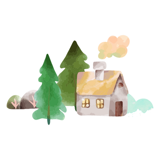
Natureza da cabana das árvores do tempo do inverno Desenho PNG
Escolha uma pasta
Todos os favoritos
Criar novo
Salvar
Natureza da cabana das árvores do tempo do inverno Desenho PNG
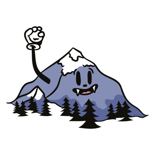
Desenho animado assustador da natureza - 0 Desenho PNG
Escolha uma pasta
Todos os favoritos
Criar novo
Salvar
Desenho animado assustador da natureza - 0 Desenho PNG
Premium
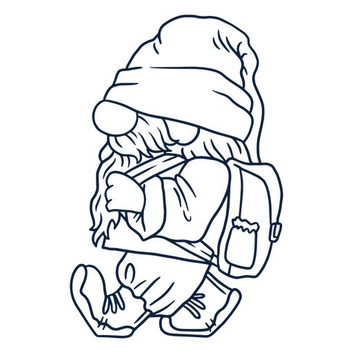
o gnomo ambulante Desenho PNG
Escolha uma pasta
Todos os favoritos
Criar novo
Salvar
o gnomo ambulante Desenho PNG
Natureza da cabana da árvore de inverno Desenho PNG
Escolha uma pasta
Todos os favoritos
Criar novo
Salvar
Natureza da cabana da árvore de inverno Desenho PNG
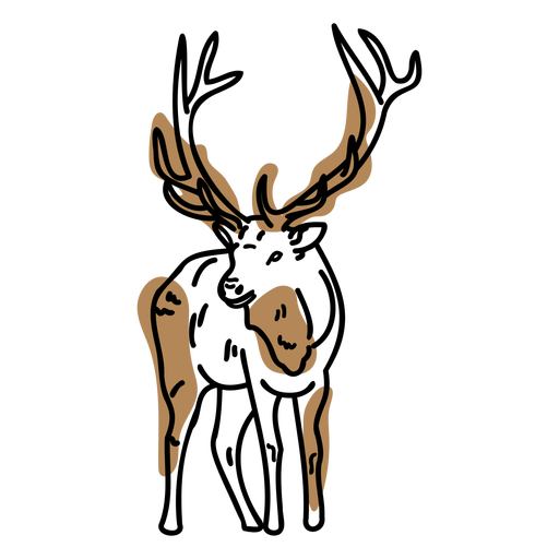
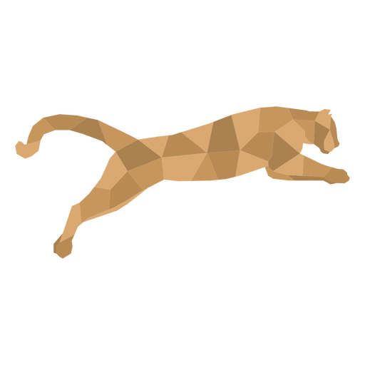
animais de baixo poli - 12 Desenho PNG
Escolha uma pasta
Todos os favoritos
Criar novo
Salvar
animais de baixo poli - 12 Desenho PNG
animais-silhueta - 10 Desenho PNG
Escolha uma pasta
Todos os favoritos
Criar novo
Salvar
animais-silhueta - 10 Desenho PNG
animais-geométricos - 102 Desenho PNG
Escolha uma pasta
Todos os favoritos
Criar novo
Salvar
animais-geométricos - 102 Desenho PNG
HatDecals-CampBadges-CR - 49 Desenho PNG
Escolha uma pasta
Todos os favoritos
Criar novo
Salvar
HatDecals-CampBadges-CR - 49 Desenho PNG
Vinil Adventure RetroCartoon - 2 Desenho PNG
Escolha uma pasta
Todos os favoritos
Criar novo
Salvar
Vinil Adventure RetroCartoon - 2 Desenho PNG
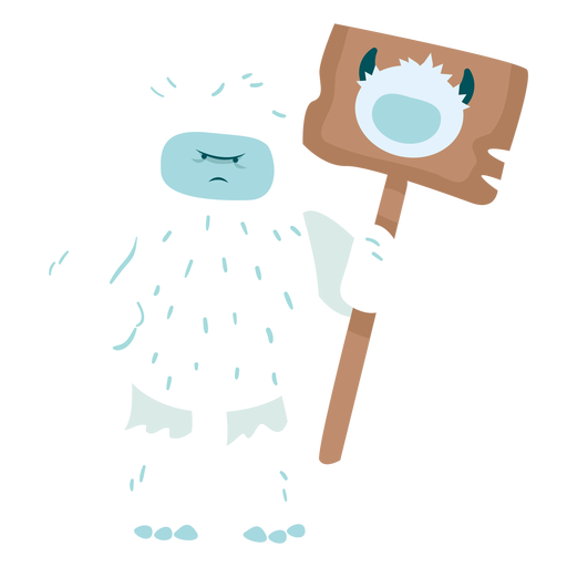
Yeti chorando fofo Desenho PNG
Escolha uma pasta
Todos os favoritos
Criar novo
Salvar
Yeti chorando fofo Desenho PNG
Premium
Obtenha o emblema da bússola perdida Desenho PNG
Escolha uma pasta
Todos os favoritos
Criar novo
Salvar
Obtenha o emblema da bússola perdida Desenho PNG
Distintivo de citação de acampamento de cabelo de praia Desenho PNG
Escolha uma pasta
Todos os favoritos
Criar novo
Salvar
Distintivo de citação de acampamento de cabelo de praia Desenho PNG
animais de baixo poli - 4 Desenho PNG
Escolha uma pasta
Todos os favoritos
Criar novo
Salvar
animais de baixo poli - 4 Desenho PNG
animais linocut - 5 Desenho PNG
Escolha uma pasta
Todos os favoritos
Criar novo
Salvar
animais linocut - 5 Desenho PNG
Premium
Vulcão silhueta Desenho PNG
Escolha uma pasta
Todos os favoritos
Criar novo
Salvar
Vulcão silhueta Desenho PNG
Premium
Silhueta de alpinista 4 Desenho PNG
Escolha uma pasta
Todos os favoritos
Criar novo
Salvar
Silhueta de alpinista 4 Desenho PNG
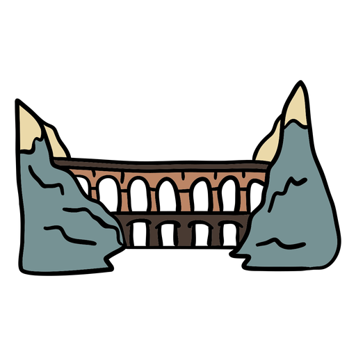
Cabine triangular no traço de cor de montanhas Desenho PNG
Escolha uma pasta
Todos os favoritos
Criar novo
Salvar
Cabine triangular no traço de cor de montanhas Desenho PNG
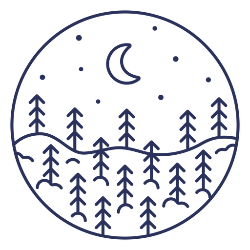
Árvores de clima de inverno neve natureza Desenho PNG
Escolha uma pasta
Todos os favoritos
Criar novo
Salvar
Árvores de clima de inverno neve natureza Desenho PNG
bebê - 68 Desenho PNG
Escolha uma pasta
Todos os favoritos
Criar novo
Salvar
bebê - 68 Desenho PNG
10_Nature_Ocean_HandCutSimpleShapes_Print - 5 Desenho PNG
Escolha uma pasta
Todos os favoritos
Criar novo
Salvar
10_Nature_Ocean_HandCutSimpleShapes_Print - 5 Desenho PNG
Premium
Sol nascendo sobre as montanhas Desenho PNG
Escolha uma pasta
Todos os favoritos
Criar novo
Salvar
Sol nascendo sobre as montanhas Desenho PNG
Floresta de pinheiros cortada paisagem Desenho PNG
Escolha uma pasta
Todos os favoritos
Criar novo
Salvar
Floresta de pinheiros cortada paisagem Desenho PNG
Distintivo de citação de cabelo de acampamento Desenho PNG
Escolha uma pasta
Todos os favoritos
Criar novo
Salvar
Distintivo de citação de cabelo de acampamento Desenho PNG
Animals FlatWashInk - 34 Desenho PNG
Escolha uma pasta
Todos os favoritos
Criar novo
Salvar
Animals FlatWashInk - 34 Desenho PNG
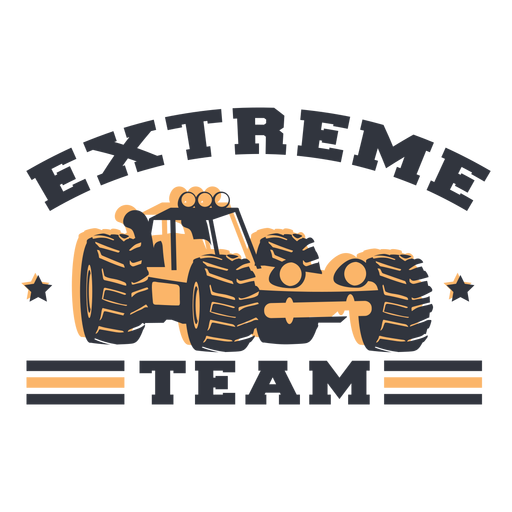
Letras de equipe extrema Desenho PNG
Escolha uma pasta
Todos os favoritos
Criar novo
Salvar
Letras de equipe extrema Desenho PNG
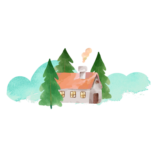
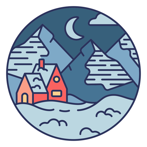
Paisagem de neve casa Desenho PNG
Escolha uma pasta
Todos os favoritos
Criar novo
Salvar
Paisagem de neve casa Desenho PNG
Premium
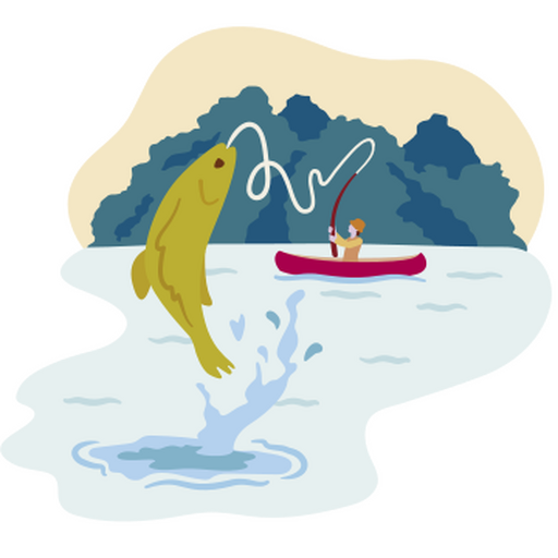
Pescando um peixe grande Desenho PNG
Escolha uma pasta
Todos os favoritos
Criar novo
Salvar
Pescando um peixe grande Desenho PNG
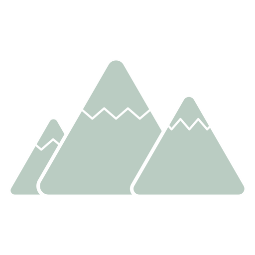
Três montanhas ícone minimalista Desenho PNG
Escolha uma pasta
Todos os favoritos
Criar novo
Salvar
Três montanhas ícone minimalista Desenho PNG
Distintivo de acampamento cansado Desenho PNG
Escolha uma pasta
Todos os favoritos
Criar novo
Salvar
Distintivo de acampamento cansado Desenho PNG
Premium
Ícone quadrado de erosão do solo Desenho PNG
Escolha uma pasta
Todos os favoritos
Criar novo
Salvar
Ícone quadrado de erosão do solo Desenho PNG
animais de baixo poli - 3 Desenho PNG
Escolha uma pasta
Todos os favoritos
Criar novo
Salvar
animais de baixo poli - 3 Desenho PNG
Premium
Desenho de nuvem 13 Desenho PNG
Escolha uma pasta
Todos os favoritos
Criar novo
Salvar
Desenho de nuvem 13 Desenho PNG
Par de toras cortadas elemento Desenho PNG
Escolha uma pasta
Todos os favoritos
Criar novo
Salvar
Par de toras cortadas elemento Desenho PNG
Natureza do vulcão em erupção Desenho PNG
Escolha uma pasta
Todos os favoritos
Criar novo
Salvar
Natureza do vulcão em erupção Desenho PNG
Símbolo austríaco de ferrovias cor desenhado à mão Desenho PNG
Escolha uma pasta
Todos os favoritos
Criar novo
Salvar
Símbolo austríaco de ferrovias cor desenhado à mão Desenho PNG
animais de baixo poli - 132 Desenho PNG
Escolha uma pasta
Todos os favoritos
Criar novo
Salvar
animais de baixo poli - 132 Desenho PNG
Yeti mal-humorado fofo Desenho PNG
Escolha uma pasta
Todos os favoritos
Criar novo
Salvar
Yeti mal-humorado fofo Desenho PNG
Premium
Crachá de mochila nas estradas Desenho PNG
Escolha uma pasta
Todos os favoritos
Criar novo
Salvar
Crachá de mochila nas estradas Desenho PNG
Premium
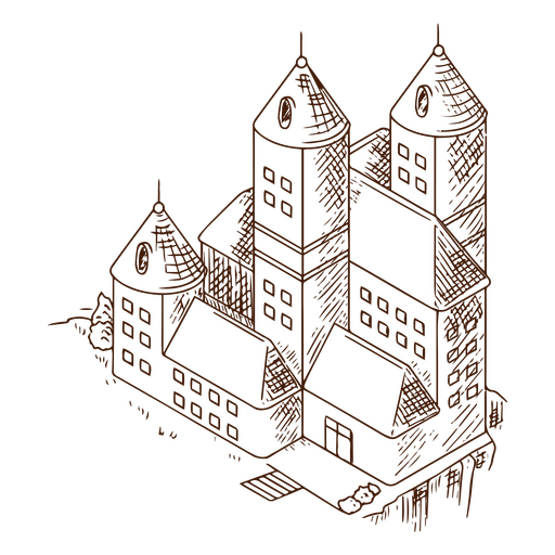
Arte de linha de castelo antigo Desenho PNG
Escolha uma pasta
Todos os favoritos
Criar novo
Salvar
Arte de linha de castelo antigo Desenho PNG
Animals FlatWashInk - 12 Desenho PNG
Escolha uma pasta
Todos os favoritos
Criar novo
Salvar
Animals FlatWashInk - 12 Desenho PNG
animais de baixo poli - 2 Desenho PNG
Escolha uma pasta
Todos os favoritos
Criar novo
Salvar
animais de baixo poli - 2 Desenho PNG
animais de baixo poli - 11 Desenho PNG
Escolha uma pasta
Todos os favoritos
Criar novo
Salvar
animais de baixo poli - 11 Desenho PNG
Curso neve paisagem lua Desenho PNG
Escolha uma pasta
Todos os favoritos
Criar novo
Salvar
Curso neve paisagem lua Desenho PNG
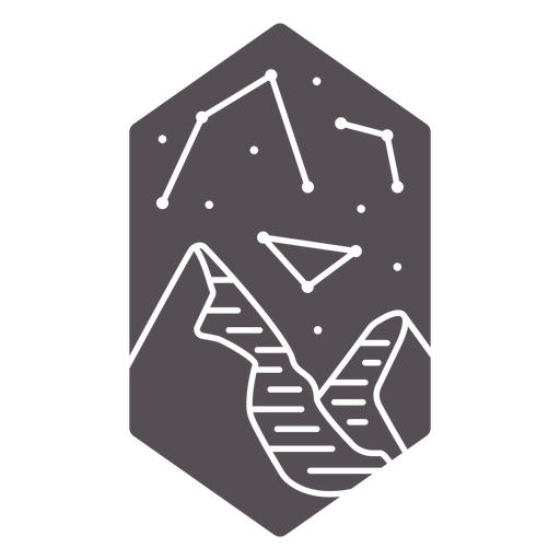
Constelação e montanhas recortadas Desenho PNG
Escolha uma pasta
Todos os favoritos
Criar novo
Salvar
Constelação e montanhas recortadas Desenho PNG
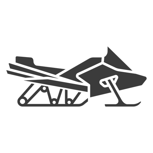
snowmobile - silhueta - 1 Desenho PNG
Escolha uma pasta
Todos os favoritos
Criar novo
Salvar
snowmobile - silhueta - 1 Desenho PNG
Premium
Ícone de traço colorido de mochila de viagem Desenho PNG
Escolha uma pasta
Todos os favoritos
Criar novo
Salvar
Ícone de traço colorido de mochila de viagem Desenho PNG
Premium
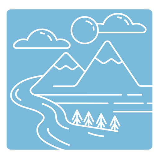
Paisagem de montanhas e rio duotone Desenho PNG
Escolha uma pasta
Todos os favoritos
Criar novo
Salvar
Paisagem de montanhas e rio duotone Desenho PNG
Natureza das árvores do clima de inverno Desenho PNG
Escolha uma pasta
Todos os favoritos
Criar novo
Salvar
Natureza das árvores do clima de inverno Desenho PNG
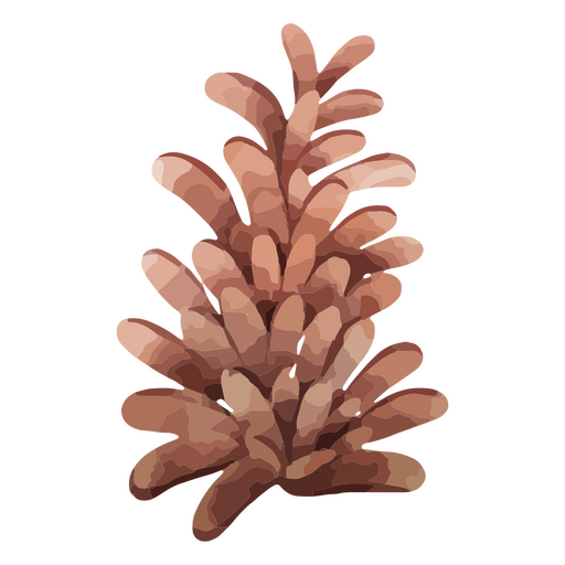
Natureza de pinha de clima de inverno Desenho PNG
Escolha uma pasta
Todos os favoritos
Criar novo
Salvar
Natureza de pinha de clima de inverno Desenho PNG
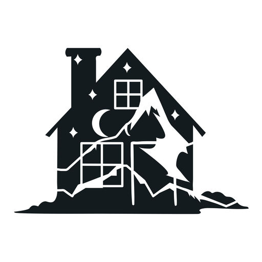
Cabine Noite Dupla Imagem Desenho PNG
Escolha uma pasta
Todos os favoritos
Criar novo
Salvar
Cabine Noite Dupla Imagem Desenho PNG
Impulsione seu negócio
Com a plataforma gráfica líder de mercado.
Ver planos
Próxima
do 12
prev page
next page