Biblioteca de design
Novos designs Merch
Camisetas
Vectores
Designs de Merch de Tendência
PNGs & SVGs
Mockups
Modelos de T-Shirt PSD
Explorar Desenhos
Designs KDP
Pôsteres
Canecas
Capas para celular
Sacos de compras
Almofadas
Ferramentas de desenho
Merch Designer
Novo!
Mockup Generator
Gerador de Design de AI
Vetorizador
Quote Generator
T-Shirt Maker (Antigo)
Ajuda
Merch Digest
Blog
Centro de Ajuda
Saiba mais sobre o Merch
Feedback
Soluções Corporativas
Empresa
Acesso à API
Estúdio de Design
Design em Lote
Preços
Carregando...
Inscrever-se
Conecte-se
PNGs For Merch
united
states
Biblioteca de design
Novos designs Merch
Camisetas
Vectores
Designs de Merch de Tendência
PNGs & SVGs
Mockups
Modelos de T-Shirt PSD
Explorar Desenhos
Designs KDP
Pôsteres
Canecas
Capas para celular
Sacos de compras
Almofadas
Ferramentas de desenho
Merch Designer
Novo!
Mockup Generator
Gerador de Design de AI
Vetorizador
Quote Generator
T-Shirt Maker (Antigo)
Ajuda
Merch Digest
Blog
Centro de Ajuda
Saiba mais sobre o Merch
Feedback
Soluções Corporativas
Empresa
Acesso à API
Estúdio de Design
Design em Lote
PLANOS
PNGs For Merch
united
states
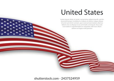
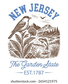
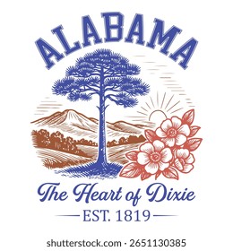
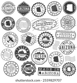
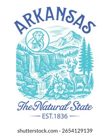
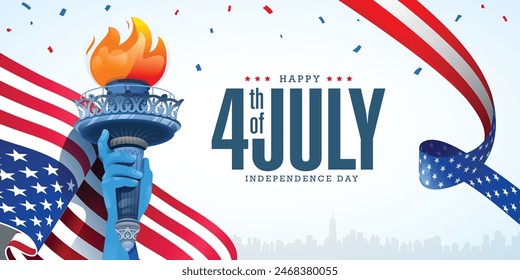
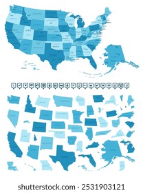
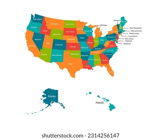
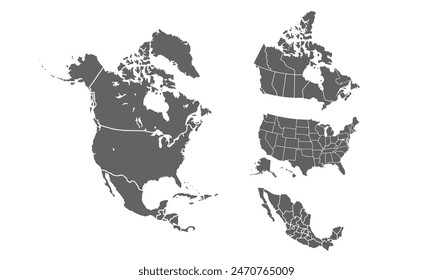
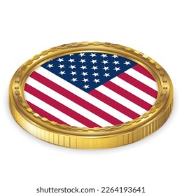
1453 Gráficos de designs PNG e SVG de united states
Baixar Gráficos PNG e SVG de Design com Fundo Transparente Para T-Shirts, Capas do Celular, Capas do Livros e outros Produtos Merch
Relacionado:
estados unidos
,
bandeira dos estados unidos
,
mapa dos estados unidos
Ordenar por
Mais relevante
Resultados patrocinados da
Ganhe 15% de desconto com o código: VEXELS15
veja mais detalhes
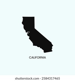
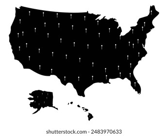
Silhueta do mapa dos EUA do Novo México Desenho PNG
Escolha uma pasta
Todos os favoritos
Criar novo
Salvar
Silhueta do mapa dos EUA do Novo México Desenho PNG
Premium
Stroke estátua da liberdade Desenho PNG
Escolha uma pasta
Todos os favoritos
Criar novo
Salvar
Stroke estátua da liberdade Desenho PNG
Premium
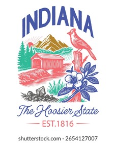
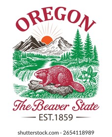
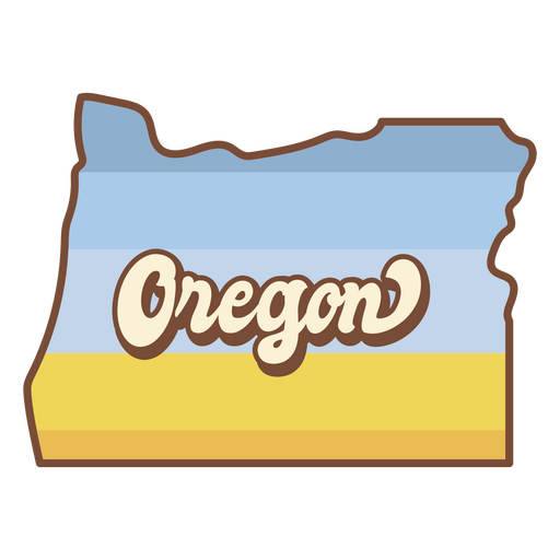
O estado de Oregon é mostrado Desenho PNG
Escolha uma pasta
Todos os favoritos
Criar novo
Salvar
O estado de Oregon é mostrado Desenho PNG
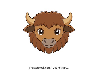
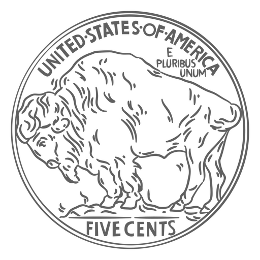
Cauda de búfalo de curso de moeda eua Desenho PNG
Escolha uma pasta
Todos os favoritos
Criar novo
Salvar
Cauda de búfalo de curso de moeda eua Desenho PNG
Comida retrô de cacau quente Desenho PNG
Escolha uma pasta
Todos os favoritos
Criar novo
Salvar
Comida retrô de cacau quente Desenho PNG
Flâmulas brancas desenhadas à mão Desenho PNG
Escolha uma pasta
Todos os favoritos
Criar novo
Salvar
Flâmulas brancas desenhadas à mão Desenho PNG
Personagem de vaqueiro americano Desenho PNG
Escolha uma pasta
Todos os favoritos
Criar novo
Salvar
Personagem de vaqueiro americano Desenho PNG
Premium
Emblema do horizonte da cidade de Boston Desenho PNG
Escolha uma pasta
Todos os favoritos
Criar novo
Salvar
Emblema do horizonte da cidade de Boston Desenho PNG
Premium
Distintivo de Detroit Skyline Desenho PNG
Escolha uma pasta
Todos os favoritos
Criar novo
Salvar
Distintivo de Detroit Skyline Desenho PNG
Mapa de acidente vascular cerebral do estado de Montana Desenho PNG
Escolha uma pasta
Todos os favoritos
Criar novo
Salvar
Mapa de acidente vascular cerebral do estado de Montana Desenho PNG
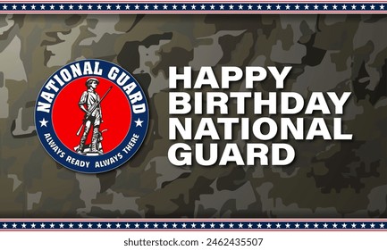
Citação do dia das eleições nos EUA Desenho PNG
Escolha uma pasta
Todos os favoritos
Criar novo
Salvar
Citação do dia das eleições nos EUA Desenho PNG
Premium
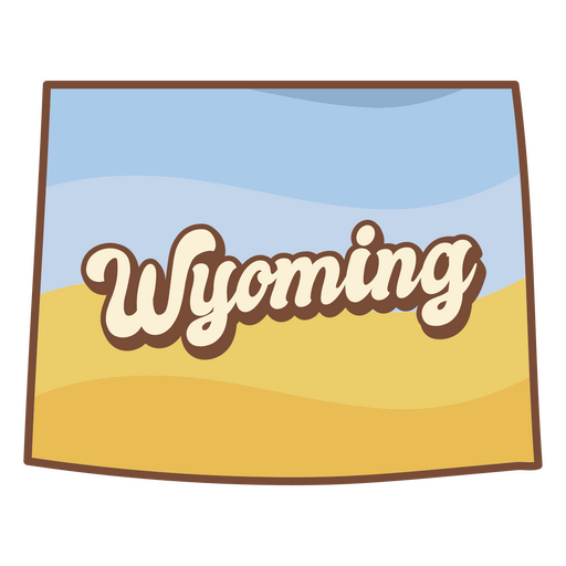
O estado de Wyoming com a palavra Wyoming nele Desenho PNG
Escolha uma pasta
Todos os favoritos
Criar novo
Salvar
O estado de Wyoming com a palavra Wyoming nele Desenho PNG
Guloseimas retrô de cupcake Desenho PNG
Escolha uma pasta
Todos os favoritos
Criar novo
Salvar
Guloseimas retrô de cupcake Desenho PNG
Premium
Distintivo do horizonte de Los Angeles Desenho PNG
Escolha uma pasta
Todos os favoritos
Criar novo
Salvar
Distintivo do horizonte de Los Angeles Desenho PNG
Premium
Distintivo skyline Desenho PNG
Escolha uma pasta
Todos os favoritos
Criar novo
Salvar
Distintivo skyline Desenho PNG
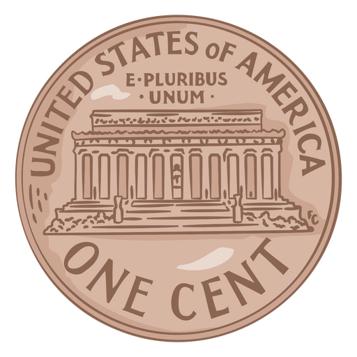
Ilustração de moeda eua um centavo Desenho PNG
Escolha uma pasta
Todos os favoritos
Criar novo
Salvar
Ilustração de moeda eua um centavo Desenho PNG
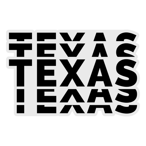
Letras em negrito do Texas Desenho PNG
Escolha uma pasta
Todos os favoritos
Criar novo
Salvar
Letras em negrito do Texas Desenho PNG
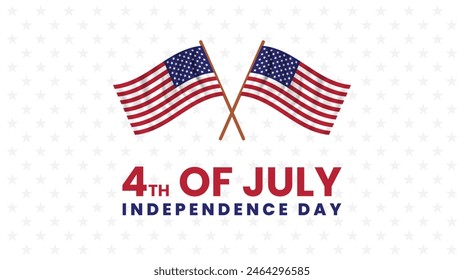
FourthofJuly-StarsandStripes-VintageEtchPrint-Vinyl-CR - 1 Desenho PNG
Escolha uma pasta
Todos os favoritos
Criar novo
Salvar
FourthofJuly-StarsandStripes-VintageEtchPrint-Vinyl-CR - 1 Desenho PNG
Elefante republicano Desenho PNG
Escolha uma pasta
Todos os favoritos
Criar novo
Salvar
Elefante republicano Desenho PNG
Premium
Emblema do horizonte de Las Vegas Desenho PNG
Escolha uma pasta
Todos os favoritos
Criar novo
Salvar
Emblema do horizonte de Las Vegas Desenho PNG
Silhueta do mapa dos EUA de Montana Desenho PNG
Escolha uma pasta
Todos os favoritos
Criar novo
Salvar
Silhueta do mapa dos EUA de Montana Desenho PNG
FourthofJuly-AmericaIcons-VintageMetal - 18 Desenho PNG
Escolha uma pasta
Todos os favoritos
Criar novo
Salvar
FourthofJuly-AmericaIcons-VintageMetal - 18 Desenho PNG
Emblema patriótico dos EUA Desenho PNG
Escolha uma pasta
Todos os favoritos
Criar novo
Salvar
Emblema patriótico dos EUA Desenho PNG
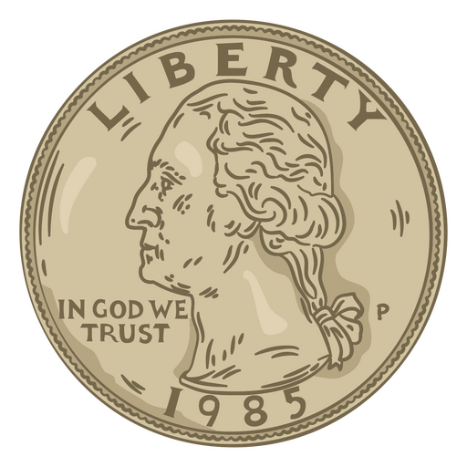
Cabeça de ilustração de um quarto Desenho PNG
Escolha uma pasta
Todos os favoritos
Criar novo
Salvar
Cabeça de ilustração de um quarto Desenho PNG
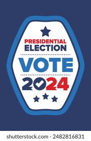
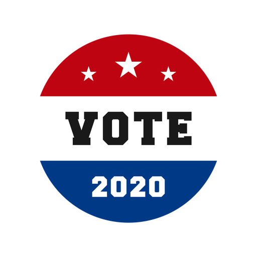
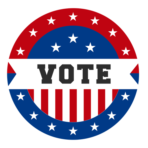
Vote usa design Desenho PNG
Escolha uma pasta
Todos os favoritos
Criar novo
Salvar
Vote usa design Desenho PNG
FourthOfJuly-StarsAndSrtipes-SimplifiedRealisticSilhouette-Vinyl - 2 Desenho PNG
Escolha uma pasta
Todos os favoritos
Criar novo
Salvar
FourthOfJuly-StarsAndSrtipes-SimplifiedRealisticSilhouette-Vinyl - 2 Desenho PNG
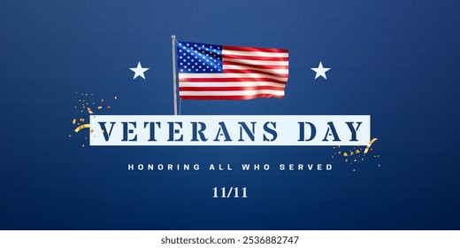
Letras de veteranos da bandeira americana Desenho PNG
Escolha uma pasta
Todos os favoritos
Criar novo
Salvar
Letras de veteranos da bandeira americana Desenho PNG
Águia estampada da bandeira americana Desenho PNG
Escolha uma pasta
Todos os favoritos
Criar novo
Salvar
Águia estampada da bandeira americana Desenho PNG
Águia com bandeira dos eua Desenho PNG
Escolha uma pasta
Todos os favoritos
Criar novo
Salvar
Águia com bandeira dos eua Desenho PNG
FourthOfJuly-AmericanHistory-VintageEtchPrint-VinylStroke - 1 Desenho PNG
Escolha uma pasta
Todos os favoritos
Criar novo
Salvar
FourthOfJuly-AmericanHistory-VintageEtchPrint-VinylStroke - 1 Desenho PNG
Premium
Elemento de design da tocha Liberty Desenho PNG
Escolha uma pasta
Todos os favoritos
Criar novo
Salvar
Elemento de design da tocha Liberty Desenho PNG
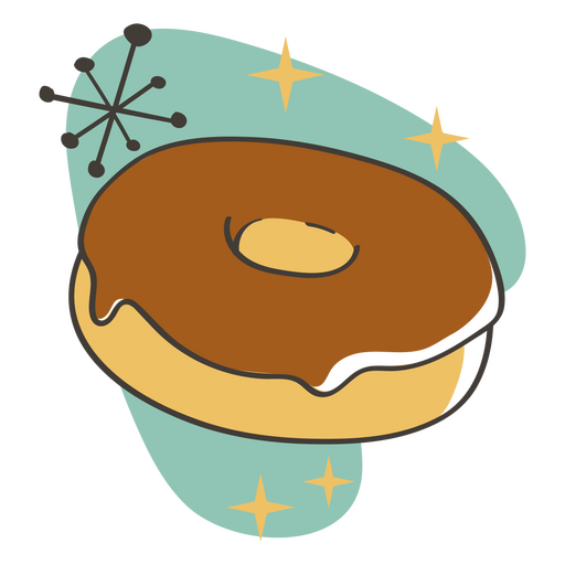
Deleites de comida retrô de donut Desenho PNG
Escolha uma pasta
Todos os favoritos
Criar novo
Salvar
Deleites de comida retrô de donut Desenho PNG
FourthOfJuly-StarsAndSrtipes-SimplifiedRealisticSilhouette-Vinyl - 0 Desenho PNG
Escolha uma pasta
Todos os favoritos
Criar novo
Salvar
FourthOfJuly-StarsAndSrtipes-SimplifiedRealisticSilhouette-Vinyl - 0 Desenho PNG
Chapéu patriótico americano Desenho PNG
Escolha uma pasta
Todos os favoritos
Criar novo
Salvar
Chapéu patriótico americano Desenho PNG
Premium
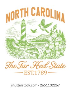
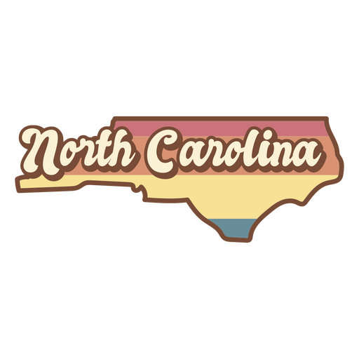
Estado da carolina do norte retrô Desenho PNG
Escolha uma pasta
Todos os favoritos
Criar novo
Salvar
Estado da carolina do norte retrô Desenho PNG
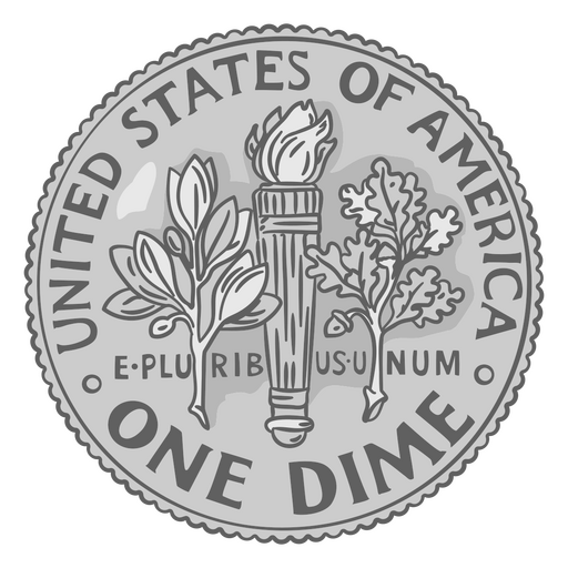
Ilustração de moeda dime tail eua Desenho PNG
Escolha uma pasta
Todos os favoritos
Criar novo
Salvar
Ilustração de moeda dime tail eua Desenho PNG
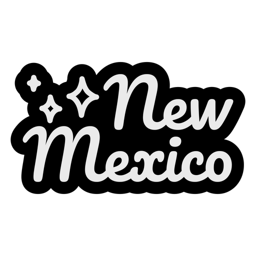
Letras Cursivas do Novo México Desenho PNG
Escolha uma pasta
Todos os favoritos
Criar novo
Salvar
Letras Cursivas do Novo México Desenho PNG
Delícias de comida retrô de chocolate Desenho PNG
Escolha uma pasta
Todos os favoritos
Criar novo
Salvar
Delícias de comida retrô de chocolate Desenho PNG
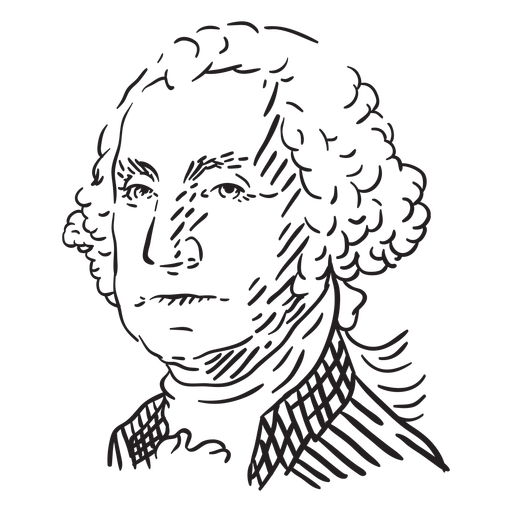
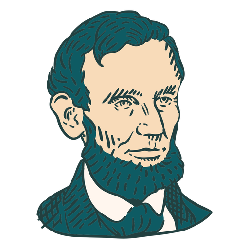
George Washington rosto desenhado à mão Desenho PNG
Escolha uma pasta
Todos os favoritos
Criar novo
Salvar
George Washington rosto desenhado à mão Desenho PNG
Golpe de bola de futebol americano americano Desenho PNG
Escolha uma pasta
Todos os favoritos
Criar novo
Salvar
Golpe de bola de futebol americano americano Desenho PNG
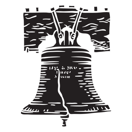
Elemento de corte de sino da liberdade Desenho PNG
Escolha uma pasta
Todos os favoritos
Criar novo
Salvar
Elemento de corte de sino da liberdade Desenho PNG
FourthOfJuly-AmericanHistory-VintageEtchPrint-VinylColor - 2 Desenho PNG
Escolha uma pasta
Todos os favoritos
Criar novo
Salvar
FourthOfJuly-AmericanHistory-VintageEtchPrint-VinylColor - 2 Desenho PNG
Usa fireworks flat Desenho PNG
Escolha uma pasta
Todos os favoritos
Criar novo
Salvar
Usa fireworks flat Desenho PNG
Foguete de impressão da bandeira da América Desenho PNG
Escolha uma pasta
Todos os favoritos
Criar novo
Salvar
Foguete de impressão da bandeira da América Desenho PNG
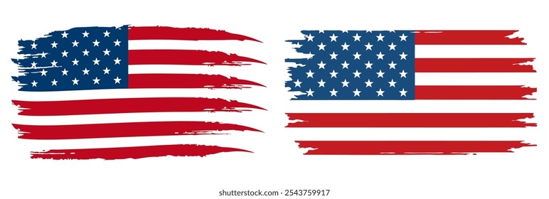
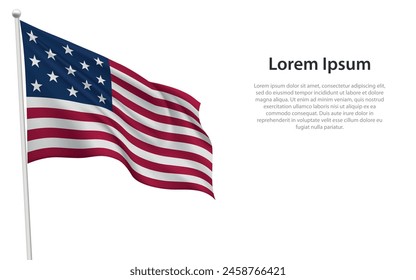
Bandeira dos EUA com triângulo de fita Desenho PNG
Escolha uma pasta
Todos os favoritos
Criar novo
Salvar
Bandeira dos EUA com triângulo de fita Desenho PNG
Premium
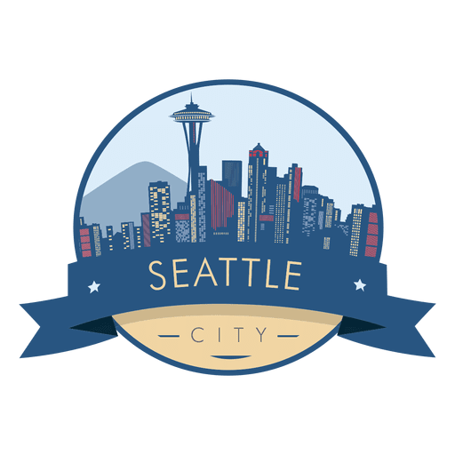
Emblema do horizonte de Seattle Desenho PNG
Escolha uma pasta
Todos os favoritos
Criar novo
Salvar
Emblema do horizonte de Seattle Desenho PNG
Capitólio dos EUA cortado Desenho PNG
Escolha uma pasta
Todos os favoritos
Criar novo
Salvar
Capitólio dos EUA cortado Desenho PNG
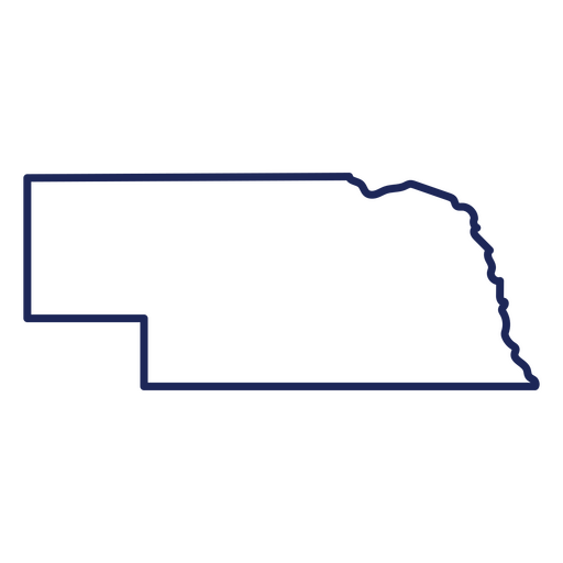
Mapa de acidente vascular cerebral do estado de Nebraska Desenho PNG
Escolha uma pasta
Todos os favoritos
Criar novo
Salvar
Mapa de acidente vascular cerebral do estado de Nebraska Desenho PNG
Distintivo do Dia dos Veteranos Eagle Desenho PNG
Escolha uma pasta
Todos os favoritos
Criar novo
Salvar
Distintivo do Dia dos Veteranos Eagle Desenho PNG
Premium
Distintivo de bandeira dos EUA Desenho PNG
Escolha uma pasta
Todos os favoritos
Criar novo
Salvar
Distintivo de bandeira dos EUA Desenho PNG
Impulsione seu negócio
Com a plataforma gráfica líder de mercado.
Ver planos
Próxima
do 30
prev page
next page