Biblioteca de design
Novos designs Merch
Camisetas
Vectores
Designs de Merch de Tendência
PNGs & SVGs
Mockups
Modelos de T-Shirt PSD
Explorar Desenhos
Designs KDP
Pôsteres
Canecas
Capas para celular
Sacos de compras
Almofadas
Ferramentas de desenho
Merch Designer
Novo!
Mockup Generator
Gerador de Design de AI
Vetorizador
Quote Generator
T-Shirt Maker (Antigo)
Ajuda
Merch Digest
Blog
Centro de Ajuda
Saiba mais sobre o Merch
Feedback
Soluções Corporativas
Empresa
Acesso à API
Estúdio de Design
Design em Lote
Preços
Carregando...
Inscrever-se
Conecte-se
PNGs For Merch
united
states
Biblioteca de design
Novos designs Merch
Camisetas
Vectores
Designs de Merch de Tendência
PNGs & SVGs
Mockups
Modelos de T-Shirt PSD
Explorar Desenhos
Designs KDP
Pôsteres
Canecas
Capas para celular
Sacos de compras
Almofadas
Ferramentas de desenho
Merch Designer
Novo!
Mockup Generator
Gerador de Design de AI
Vetorizador
Quote Generator
T-Shirt Maker (Antigo)
Ajuda
Merch Digest
Blog
Centro de Ajuda
Saiba mais sobre o Merch
Feedback
Soluções Corporativas
Empresa
Acesso à API
Estúdio de Design
Design em Lote
PLANOS
PNGs For Merch
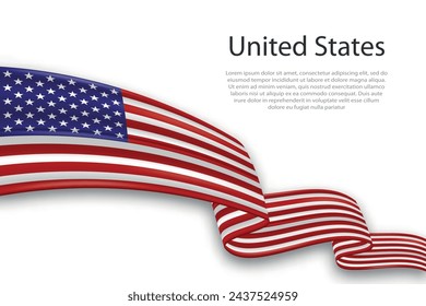
united
states
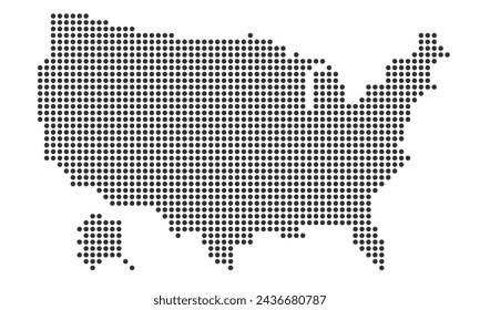
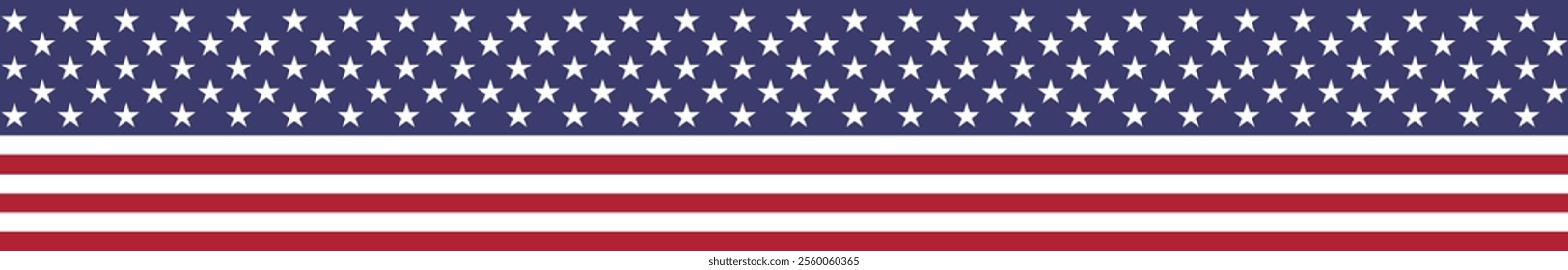
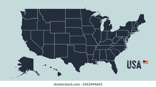
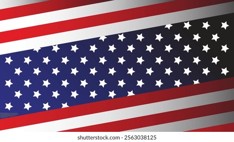
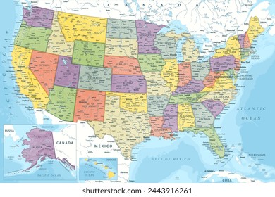
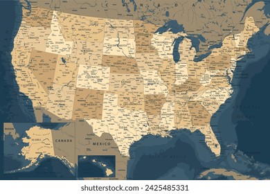
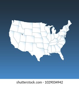
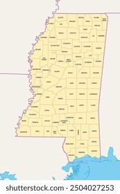
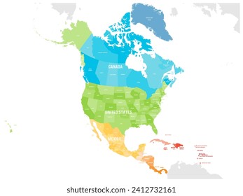
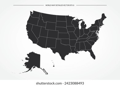
1453 Gráficos de designs PNG e SVG de united states
Baixar Gráficos PNG e SVG de Design com Fundo Transparente Para T-Shirts, Capas do Celular, Capas do Livros e outros Produtos Merch
Relacionado:
estados unidos
,
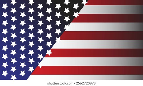
bandeira dos estados unidos
,
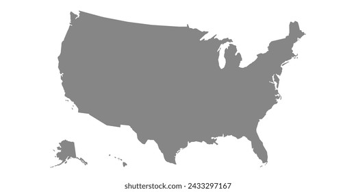
mapa dos estados unidos
Ordenar por
Mais relevante
Resultados patrocinados da
Ganhe 15% de desconto com o código: VEXELS15
veja mais detalhes
Premium
O logotipo de Washington DC Desenho PNG
Escolha uma pasta
Todos os favoritos
Criar novo
Salvar
O logotipo de Washington DC Desenho PNG
Cauda de quarto de curso Desenho PNG
Escolha uma pasta
Todos os favoritos
Criar novo
Salvar
Cauda de quarto de curso Desenho PNG
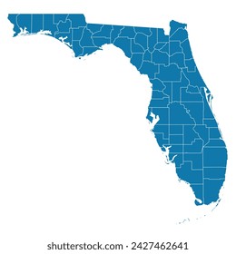
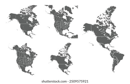
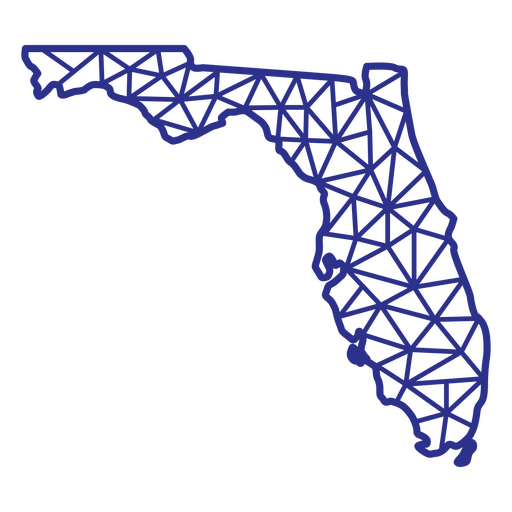
Mapa da Flórida poligonal Desenho PNG
Escolha uma pasta
Todos os favoritos
Criar novo
Salvar
Mapa da Flórida poligonal Desenho PNG
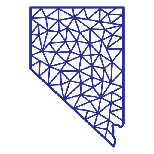
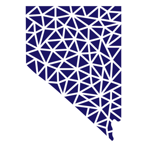
Poligonal do mapa de Nevada Desenho PNG
Escolha uma pasta
Todos os favoritos
Criar novo
Salvar
Poligonal do mapa de Nevada Desenho PNG
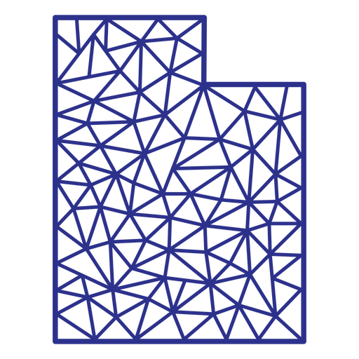
Poligonal do mapa de Utah Desenho PNG
Escolha uma pasta
Todos os favoritos
Criar novo
Salvar
Poligonal do mapa de Utah Desenho PNG
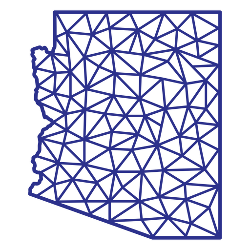
Arizona mapa poligonal Desenho PNG
Escolha uma pasta
Todos os favoritos
Criar novo
Salvar
Arizona mapa poligonal Desenho PNG
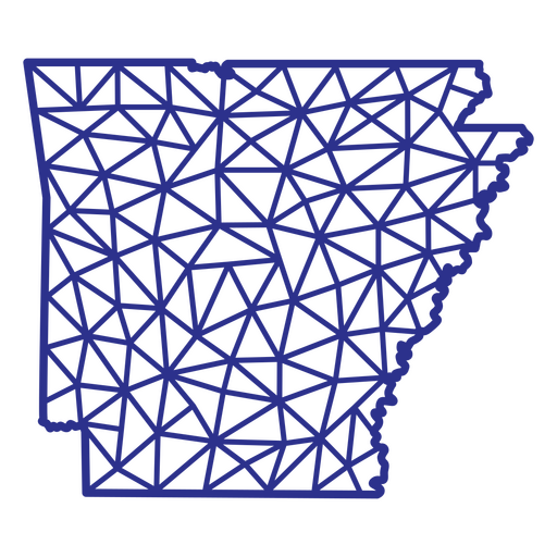
Arkansas mapa poligonal Desenho PNG
Escolha uma pasta
Todos os favoritos
Criar novo
Salvar
Arkansas mapa poligonal Desenho PNG
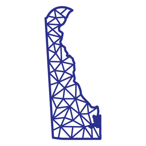
Mapa de Delaware poligonal Desenho PNG
Escolha uma pasta
Todos os favoritos
Criar novo
Salvar
Mapa de Delaware poligonal Desenho PNG
Comida de curso de bolo trata fatia Desenho PNG
Escolha uma pasta
Todos os favoritos
Criar novo
Salvar
Comida de curso de bolo trata fatia Desenho PNG
Deleites de comida de acidente vascular cerebral cheios de muffin Desenho PNG
Escolha uma pasta
Todos os favoritos
Criar novo
Salvar
Deleites de comida de acidente vascular cerebral cheios de muffin Desenho PNG
Mandala do mapa de Iowa Desenho PNG
Escolha uma pasta
Todos os favoritos
Criar novo
Salvar
Mandala do mapa de Iowa Desenho PNG
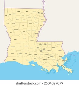
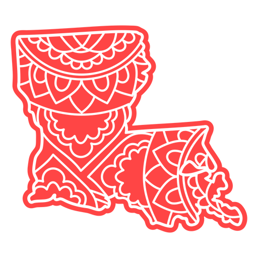
Mandala do mapa da Louisiana Desenho PNG
Escolha uma pasta
Todos os favoritos
Criar novo
Salvar
Mandala do mapa da Louisiana Desenho PNG
Mapa de estrelas e listras de Wyoming Desenho PNG
Escolha uma pasta
Todos os favoritos
Criar novo
Salvar
Mapa de estrelas e listras de Wyoming Desenho PNG
Mapa da mandala do estado de Iowa Desenho PNG
Escolha uma pasta
Todos os favoritos
Criar novo
Salvar
Mapa da mandala do estado de Iowa Desenho PNG
Curso de mapa de mandala do estado de Massachusetts Desenho PNG
Escolha uma pasta
Todos os favoritos
Criar novo
Salvar
Curso de mapa de mandala do estado de Massachusetts Desenho PNG
Curso de mapa de mandala do estado de Kentucky Desenho PNG
Escolha uma pasta
Todos os favoritos
Criar novo
Salvar
Curso de mapa de mandala do estado de Kentucky Desenho PNG
Curso de mapa de mandala do estado de Iowa Desenho PNG
Escolha uma pasta
Todos os favoritos
Criar novo
Salvar
Curso de mapa de mandala do estado de Iowa Desenho PNG
Curso de mapa de mandala do estado de Michigan Desenho PNG
Escolha uma pasta
Todos os favoritos
Criar novo
Salvar
Curso de mapa de mandala do estado de Michigan Desenho PNG
FourthOfJuly-StarsAndStripes-DetailedRealisticSilhouette-CR - 29 Desenho PNG
Escolha uma pasta
Todos os favoritos
Criar novo
Salvar
FourthOfJuly-StarsAndStripes-DetailedRealisticSilhouette-CR - 29 Desenho PNG
Frases de quatro de julho - Escrita com ponta de feltro - 6 Desenho PNG
Escolha uma pasta
Todos os favoritos
Criar novo
Salvar
Frases de quatro de julho - Escrita com ponta de feltro - 6 Desenho PNG
FourthOfJuly-StarsAndStripes-DetailedRealisticSilhouette-CR - 10 Desenho PNG
Escolha uma pasta
Todos os favoritos
Criar novo
Salvar
FourthOfJuly-StarsAndStripes-DetailedRealisticSilhouette-CR - 10 Desenho PNG
FourthOfJuly-StarsAndStripes-DetailedRealisticSilhouette-CR - 18 Desenho PNG
Escolha uma pasta
Todos os favoritos
Criar novo
Salvar
FourthOfJuly-StarsAndStripes-DetailedRealisticSilhouette-CR - 18 Desenho PNG
FourthOfJuly-Elements-VintageMetal - 26 Desenho PNG
Escolha uma pasta
Todos os favoritos
Criar novo
Salvar
FourthOfJuly-Elements-VintageMetal - 26 Desenho PNG
FourthofJuly-StarsandStripes-VintageEtchPrint-Stroke-CR - 12 Desenho PNG
Escolha uma pasta
Todos os favoritos
Criar novo
Salvar
FourthofJuly-StarsandStripes-VintageEtchPrint-Stroke-CR - 12 Desenho PNG
4 de julho distintivo Desenho PNG
Escolha uma pasta
Todos os favoritos
Criar novo
Salvar
4 de julho distintivo Desenho PNG
Ícone de tarola Desenho PNG
Escolha uma pasta
Todos os favoritos
Criar novo
Salvar
Ícone de tarola Desenho PNG
Elemento de capacete de futebol americano Desenho PNG
Escolha uma pasta
Todos os favoritos
Criar novo
Salvar
Elemento de capacete de futebol americano Desenho PNG
Elemento de roseta patriótica Desenho PNG
Escolha uma pasta
Todos os favoritos
Criar novo
Salvar
Elemento de roseta patriótica Desenho PNG
Emblema com impressão da bandeira dos EUA Desenho PNG
Escolha uma pasta
Todos os favoritos
Criar novo
Salvar
Emblema com impressão da bandeira dos EUA Desenho PNG
Personagem de cachorro-quente de elementos dos EUA com traço de bandeira Desenho PNG
Escolha uma pasta
Todos os favoritos
Criar novo
Salvar
Personagem de cachorro-quente de elementos dos EUA com traço de bandeira Desenho PNG
Cegonha de águia dos EUA Desenho PNG
Escolha uma pasta
Todos os favoritos
Criar novo
Salvar
Cegonha de águia dos EUA Desenho PNG
Carolina do Sul mapa poligonal Desenho PNG
Escolha uma pasta
Todos os favoritos
Criar novo
Salvar
Carolina do Sul mapa poligonal Desenho PNG
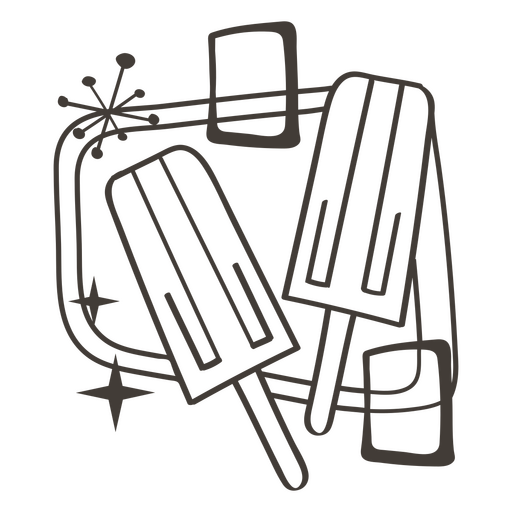
Delícias de comida de golpe de picolé Desenho PNG
Escolha uma pasta
Todos os favoritos
Criar novo
Salvar
Delícias de comida de golpe de picolé Desenho PNG
Deleites de comida de curso de torta de cereja Desenho PNG
Escolha uma pasta
Todos os favoritos
Criar novo
Salvar
Deleites de comida de curso de torta de cereja Desenho PNG
Deleites de comida de acidente vascular cerebral de açúcar doce Desenho PNG
Escolha uma pasta
Todos os favoritos
Criar novo
Salvar
Deleites de comida de acidente vascular cerebral de açúcar doce Desenho PNG
Letras em negrito do Kansas Desenho PNG
Escolha uma pasta
Todos os favoritos
Criar novo
Salvar
Letras em negrito do Kansas Desenho PNG
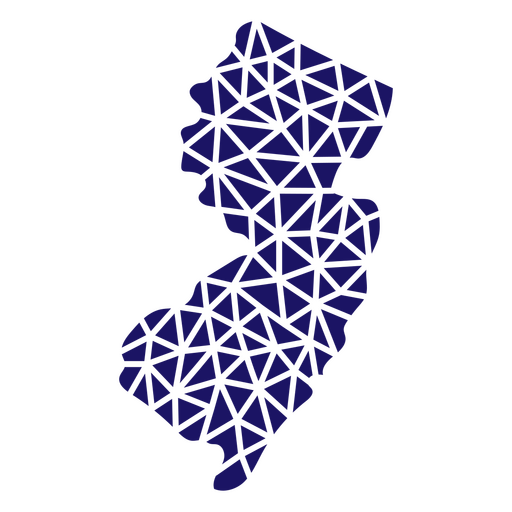
Mapa poligonal de Nova Jersey Desenho PNG
Escolha uma pasta
Todos os favoritos
Criar novo
Salvar
Mapa poligonal de Nova Jersey Desenho PNG
Mapa poligonal do estado de Nevada Desenho PNG
Escolha uma pasta
Todos os favoritos
Criar novo
Salvar
Mapa poligonal do estado de Nevada Desenho PNG
Mapa poligonal do estado de Oklahoma Desenho PNG
Escolha uma pasta
Todos os favoritos
Criar novo
Salvar
Mapa poligonal do estado de Oklahoma Desenho PNG
Mapa da mandala do estado da Louisiana Desenho PNG
Escolha uma pasta
Todos os favoritos
Criar novo
Salvar
Mapa da mandala do estado da Louisiana Desenho PNG
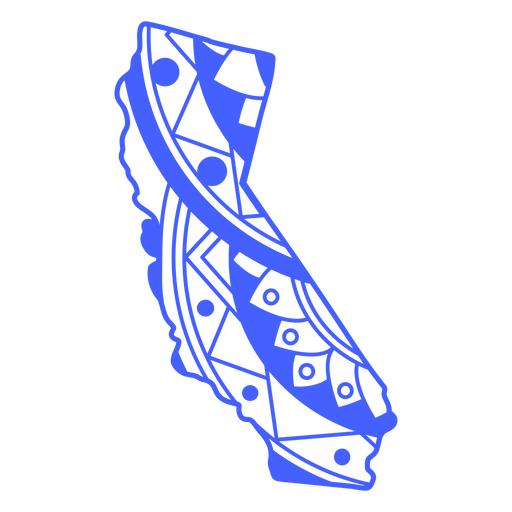
Curso de mapa de mandala do estado da Califórnia Desenho PNG
Escolha uma pasta
Todos os favoritos
Criar novo
Salvar
Curso de mapa de mandala do estado da Califórnia Desenho PNG
Curso de mapa de mandala do estado de Kansas Desenho PNG
Escolha uma pasta
Todos os favoritos
Criar novo
Salvar
Curso de mapa de mandala do estado de Kansas Desenho PNG
Curso de mapa de mandala do estado do Arizona Desenho PNG
Escolha uma pasta
Todos os favoritos
Criar novo
Salvar
Curso de mapa de mandala do estado do Arizona Desenho PNG
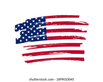
Traço preenchido azul da bandeira americana da América Desenho PNG
Escolha uma pasta
Todos os favoritos
Criar novo
Salvar
Traço preenchido azul da bandeira americana da América Desenho PNG
FourthofJuly-StarsandStripes-VintageEtchPrint-Stroke-CR - 2 Desenho PNG
Escolha uma pasta
Todos os favoritos
Criar novo
Salvar
FourthofJuly-StarsandStripes-VintageEtchPrint-Stroke-CR - 2 Desenho PNG
FourthofJuly-StarsandStripes-VintageEtchPrint-Stroke-CR - 9 Desenho PNG
Escolha uma pasta
Todos os favoritos
Criar novo
Salvar
FourthofJuly-StarsandStripes-VintageEtchPrint-Stroke-CR - 9 Desenho PNG
Galhardete americano Desenho PNG
Escolha uma pasta
Todos os favoritos
Criar novo
Salvar
Galhardete americano Desenho PNG
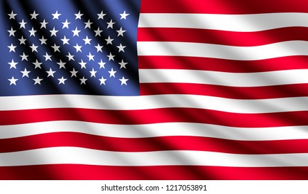
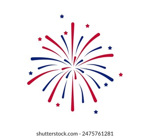
Golpe dos EUA do Fireworks Desenho PNG
Escolha uma pasta
Todos os favoritos
Criar novo
Salvar
Golpe dos EUA do Fireworks Desenho PNG
Grande selo do curso dos EUA Desenho PNG
Escolha uma pasta
Todos os favoritos
Criar novo
Salvar
Grande selo do curso dos EUA Desenho PNG
Ícone da casa branca dos EUA Desenho PNG
Escolha uma pasta
Todos os favoritos
Criar novo
Salvar
Ícone da casa branca dos EUA Desenho PNG
Impulsione seu negócio
Com a plataforma gráfica líder de mercado.
Ver planos
Próxima
do 30
prev page
next page