1160 Designs de Camisetas e Mockups PSD de amazonas

Baixar designs de camisetas ou mockups PSD editáveis de amazonas

Relacionado:

Ordenar por

Mais relevante
Fully editable, detailed vector map of Amazonas,Region de Amazonas,Peru. The file is suitable for editing and printing of all sizes.
Apui municipality (Amazonas state, Municipalities of Brazil, Federative Republic of Brazil) map vector illustration, scribble sketch Apui map
Harpy eagle icon clipart avatar logotype isolated illustration
Nhamunda municipality (Amazonas state, Municipalities of Brazil, Federative Republic of Brazil) map vector illustration, scribble sketch Nhamunda map
Barcelos municipality (Amazonas state, Municipalities of Brazil, Federative Republic of Brazil) map vector illustration, scribble sketch Barcellos or Mariua map
Itacoatiara municipality (Amazonas state, Municipalities of Brazil, Federative Republic of Brazil) map vector illustration, scribble sketch Itacoatiara map
Venezuela regions word clouds. Country shape on textured background. Venezuela design in typographic style. Elegant vector illustration.
Barreirinha municipality (Amazonas state, Municipalities of Brazil, Federative Republic of Brazil) map vector illustration, scribble sketch Barreirinha map
Apui municipality (Amazonas state, Municipalities of Brazil, Federative Republic of Brazil) map vector illustration, scribble sketch Apui map
Pauini municipality (Amazonas state, Municipalities of Brazil, Federative Republic of Brazil) map vector illustration, scribble sketch Pauini map
Tapaua municipality (Amazonas state, Municipalities of Brazil, Federative Republic of Brazil) map vector illustration, scribble sketch Tapaua map
Fully editable, detailed vector map of Amazonas,Departamento del Amazonas,Colombia. The file is suitable for editing and printing of all sizes.
Guajara municipality (Amazonas state, Municipalities of Brazil, Federative Republic of Brazil) map vector illustration, scribble sketch Guajara map
Iranduba municipality (Amazonas state, Municipalities of Brazil, Federative Republic of Brazil) map vector illustration, scribble sketch Iranduba map
Jurua municipality (Amazonas state, Municipalities of Brazil, Federative Republic of Brazil) map vector illustration, scribble sketch Jurua map
red tail boa hand drawing vector isolated on black background.
Rio Preto da Eva municipality (Amazonas state, Municipalities of Brazil, Federative Republic of Brazil) map vector illustration, scribble sketch Rio Preto da Eva map
Labrea municipality (Amazonas state, Municipalities of Brazil, Federative Republic of Brazil) map vector illustration, scribble sketch Labrea map
Carauari municipality (Amazonas state, Municipalities of Brazil, Federative Republic of Brazil) map vector illustration, scribble sketch Carauari map
Macaw bird silhouette vector design isolated on a white background
Canutama municipality (Amazonas state, Municipalities of Brazil, Federative Republic of Brazil) map vector illustration, scribble sketch Canutama map
Atalaia do Norte municipality (Amazonas state, Municipalities of Brazil, Federative Republic of Brazil) map vector illustration, scribble sketch Atalaia do Norte map
Location Department of  Amazonas on map Peru. 3d location sign similar to the flag of  Amazonas. Quality map  with  provinces Republic of Peru for your design. EPS10
Waving flag of Amazonas is a state of Brazil on white background. Banner or ribbon vector template
Presidente Figueiredo municipality (Amazonas state, Municipalities of Brazil, Federative Republic of Brazil) map vector illustration, scribble sketch Presidente Figueiredo map
Tabatinga municipality (Amazonas state, Municipalities of Brazil, Federative Republic of Brazil) map vector illustration, scribble sketch Forte de Sao Francisco Xavier de Tabatinga map
Borba municipality (Amazonas state, Municipalities of Brazil, Federative Republic of Brazil) map vector illustration, scribble sketch Borba map
Carauari municipality (Amazonas state, Municipalities of Brazil, Federative Republic of Brazil) map vector illustration, scribble sketch Carauari map
Tonantins municipality (Amazonas state, Municipalities of Brazil, Federative Republic of Brazil) map vector illustration, scribble sketch Tonantins map
Maraa municipality (Amazonas state, Municipalities of Brazil, Federative Republic of Brazil) map vector illustration, scribble sketch Maraa map
Polygonal mesh map of Amazonas State in high resolution. Mesh lines, triangles and points form map of Amazonas State.
Autazes municipality (Amazonas state, Municipalities of Brazil, Federative Republic of Brazil) map vector illustration, scribble sketch Autazes map
Manicore municipality (Amazonas state, Municipalities of Brazil, Federative Republic of Brazil) map vector illustration, scribble sketch Manicore map
Amatura municipality (Amazonas state, Municipalities of Brazil, Federative Republic of Brazil) map vector illustration, scribble sketch Amatura map
Nova Olinda do Norte municipality (Amazonas state, Municipalities of Brazil, Federative Republic of Brazil) map vector illustration, scribble sketch Nova Olinda do Norte map
Vector Map of Amazonas State. Collage of green grape leaves, wine bottles. Map of Amazonas State collage created with bottles, berries, green leaves. Abstract collage useful for political collages.
Vector mosaic Amazonas State map of different symbols and Vape seal. Mosaic Amazonas State map created as carved shape from rounded square shape. Red round seal with Vape tag.
Novo Aripuana municipality (Amazonas state, Municipalities of Brazil, Federative Republic of Brazil) map vector illustration, scribble sketch Novo Aripuana map
Careiro municipality (Amazonas state, Municipalities of Brazil, Federative Republic of Brazil) map vector illustration, scribble sketch Careiro map
Parintins municipality (Amazonas state, Municipalities of Brazil, Federative Republic of Brazil) map vector illustration, scribble sketch Parintins map
Boca do Acre municipality (Amazonas state, Municipalities of Brazil, Federative Republic of Brazil) map vector illustration, scribble sketch Boca do Acre map
Tefe municipality (Amazonas state, Municipalities of Brazil, Federative Republic of Brazil) map vector illustration, scribble sketch Tefe map
Novo Airao municipality (Amazonas state, Municipalities of Brazil, Federative Republic of Brazil) map vector illustration, scribble sketch New Airao map
Itamarati municipality (Amazonas state, Municipalities of Brazil, Federative Republic of Brazil) map vector illustration, scribble sketch Itamarati map
Anori municipality (Amazonas state, Municipalities of Brazil, Federative Republic of Brazil) map vector illustration, scribble sketch Anori map
Anama municipality (Amazonas state, Municipalities of Brazil, Federative Republic of Brazil) map vector illustration, scribble sketch Anama map
Polygonal mesh Amazonas State map with coronavirus centers. Abstract mesh connected lines and covid viruses form Amazonas State map. Vector wireframe flat polygonal network in black and red colors.
Fully editable, detailed vector map of Amazonas,Estado Amazonas,Venezuela. The file is suitable for editing and printing of all sizes.
Alvaraes municipality (Amazonas state, Municipalities of Brazil, Federative Republic of Brazil) map vector illustration, scribble sketch Alvaraes map
Resultados patrocinados da Shutterstock Logo
Ganhe 15% de desconto com o código: VEXELS15
Illustration of a man with magnifying glass

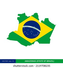
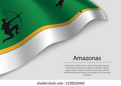
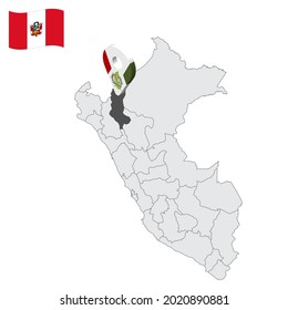
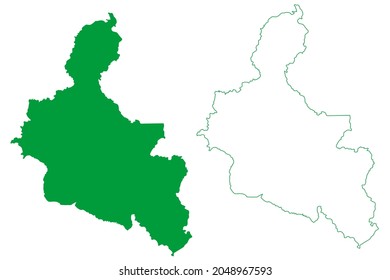
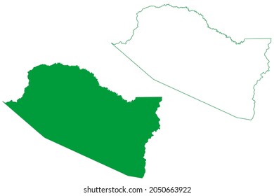
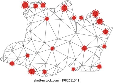
Não encontramos nenhum PSD Templatess de amazonas PSD Templates, mas aqui estão todos os nossos designs amazonas ou solicite design aqui

do 24