Biblioteca de design
Novos designs Merch
Camisetas
Vectores
Designs de Merch de Tendência
PNGs & SVGs
Mockups
Modelos de T-Shirt PSD
Explorar Desenhos
Designs KDP
Pôsteres
Canecas
Capas para celular
Sacos de compras
Almofadas
Ferramentas de desenho
Merch Designer
Novo!
Mockup Generator
Gerador de Design de AI
Vetorizador
Quote Generator
T-Shirt Maker (Antigo)
Ajuda
Merch Digest
Blog
Centro de Ajuda
Saiba mais sobre o Merch
Feedback
Soluções Corporativas
Empresa
Acesso à API
Estúdio de Design
Design em Lote
Preços
Carregando...
Inscrever-se
Conecte-se
Merch Vectors
del
rio
Biblioteca de design
Novos designs Merch
Camisetas
Vectores
Designs de Merch de Tendência
PNGs & SVGs
Mockups
Modelos de T-Shirt PSD
Explorar Desenhos
Designs KDP
Pôsteres
Canecas
Capas para celular
Sacos de compras
Almofadas
Ferramentas de desenho
Merch Designer
Novo!
Mockup Generator
Gerador de Design de AI
Vetorizador
Quote Generator
T-Shirt Maker (Antigo)
Ajuda
Merch Digest
Blog
Centro de Ajuda
Saiba mais sobre o Merch
Feedback
Soluções Corporativas
Empresa
Acesso à API
Estúdio de Design
Design em Lote
PLANOS
Merch Vectors
del
rio
543 Designs Vetoriais de del rio para Camisetas e Merch
Baixar e comprar Designs Vetoriais AI de del rio para Camisetas, Capas do Celular, Capas do Livros e outros produtos Merch
Ordenar por
Mais relevante
Resultados patrocinados da
Ganhe 15% de desconto com o código: VEXELS15
veja mais detalhes
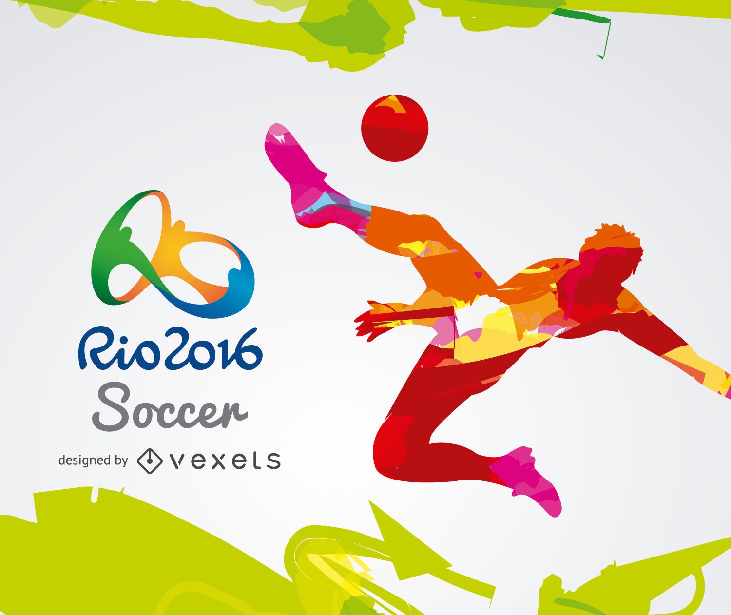
Olimpíadas Rio 2016-Futebol
Escolha uma pasta
Todos os favoritos
Criar novo
Salvar
Olimpíadas Rio 2016-Futebol
Banner de atletismo Rio 2016
Escolha uma pasta
Todos os favoritos
Criar novo
Salvar
Banner de atletismo Rio 2016
Fundo dos marcos das Olimpíadas Rio 2016
Escolha uma pasta
Todos os favoritos
Criar novo
Salvar
Fundo dos marcos das Olimpíadas Rio 2016
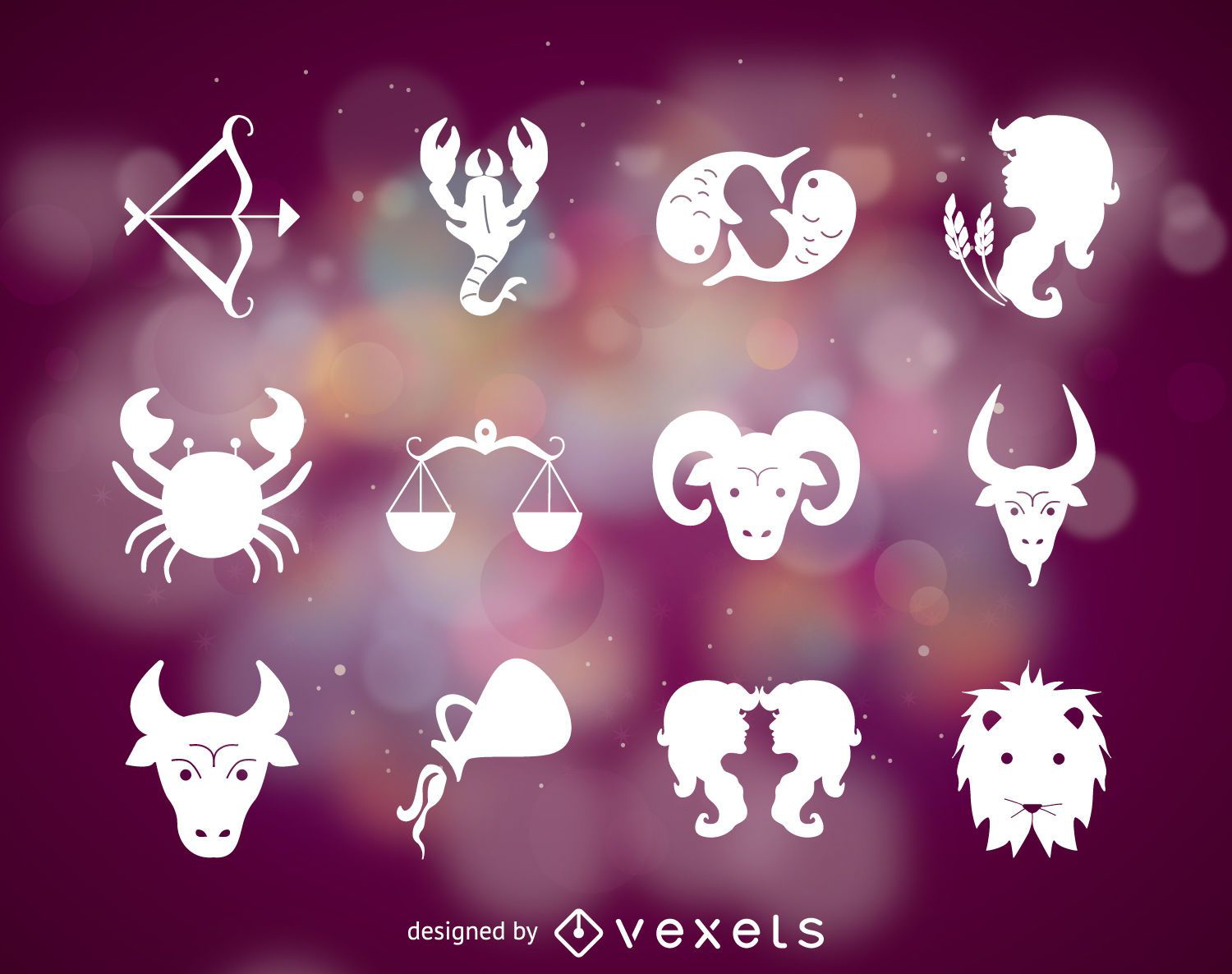
Símbolos do signo do zodíaco
Escolha uma pasta
Todos os favoritos
Criar novo
Salvar
Símbolos do signo do zodíaco
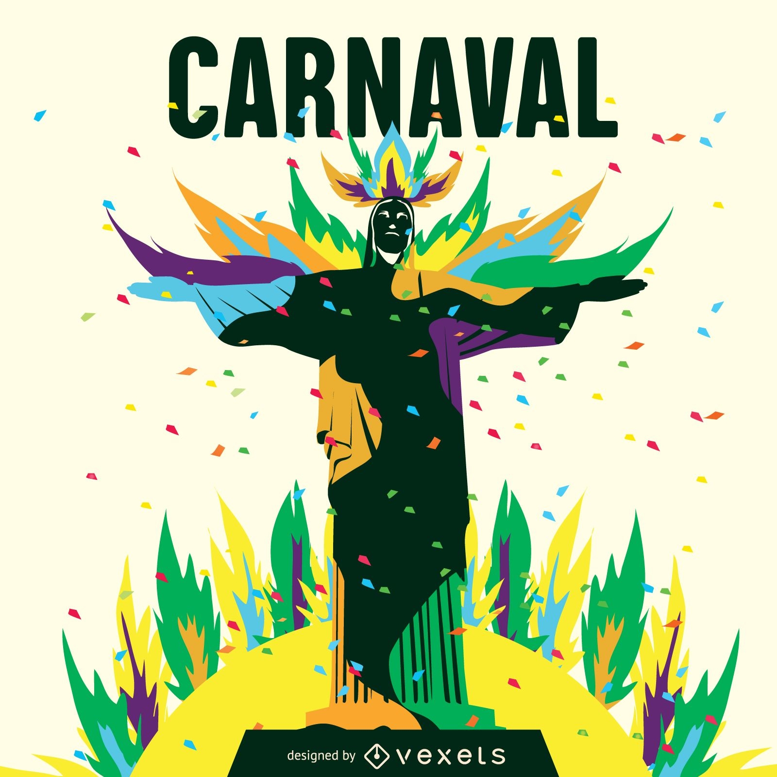
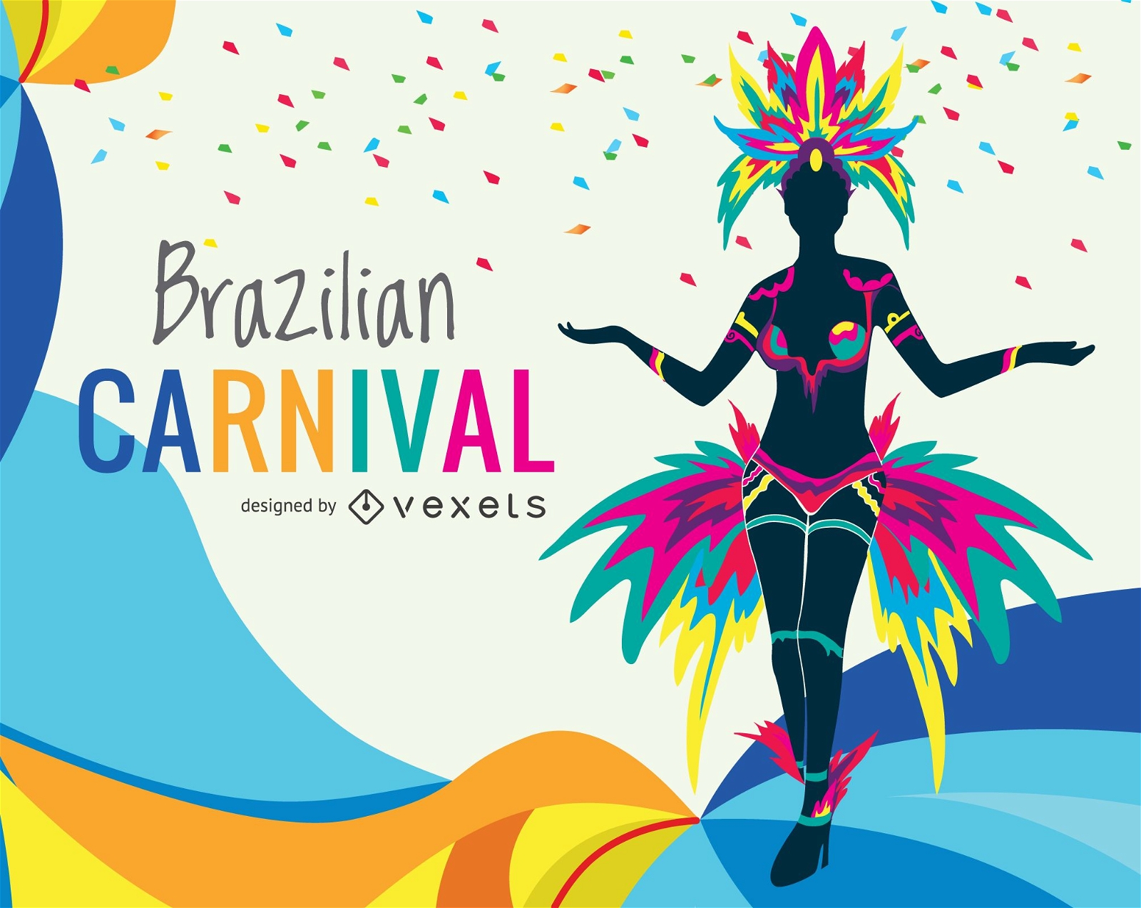
Ilustração Carnaval de Rio
Escolha uma pasta
Todos os favoritos
Criar novo
Salvar
Ilustração Carnaval de Rio
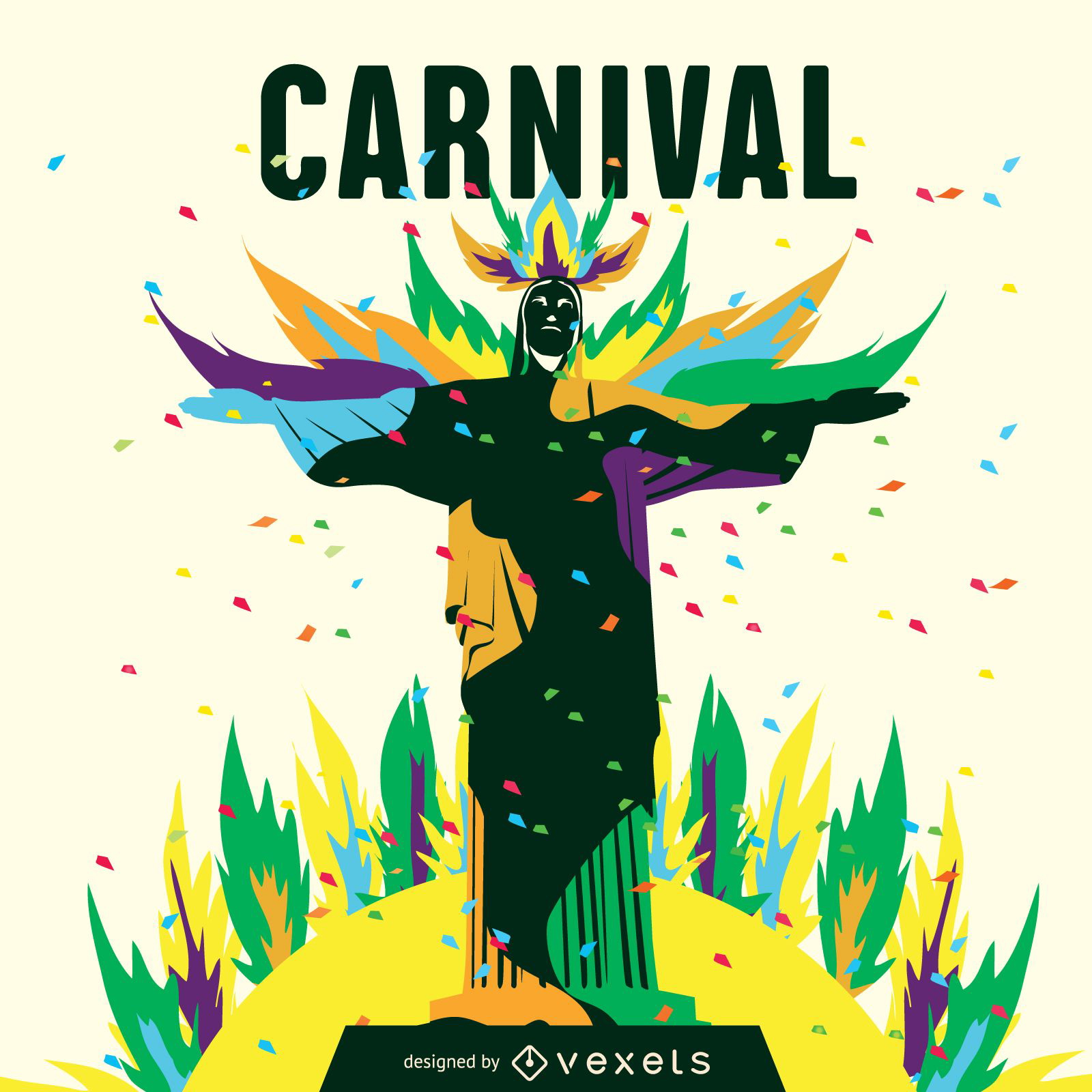
ilustração do carnaval carioca
Escolha uma pasta
Todos os favoritos
Criar novo
Salvar
ilustração do carnaval carioca
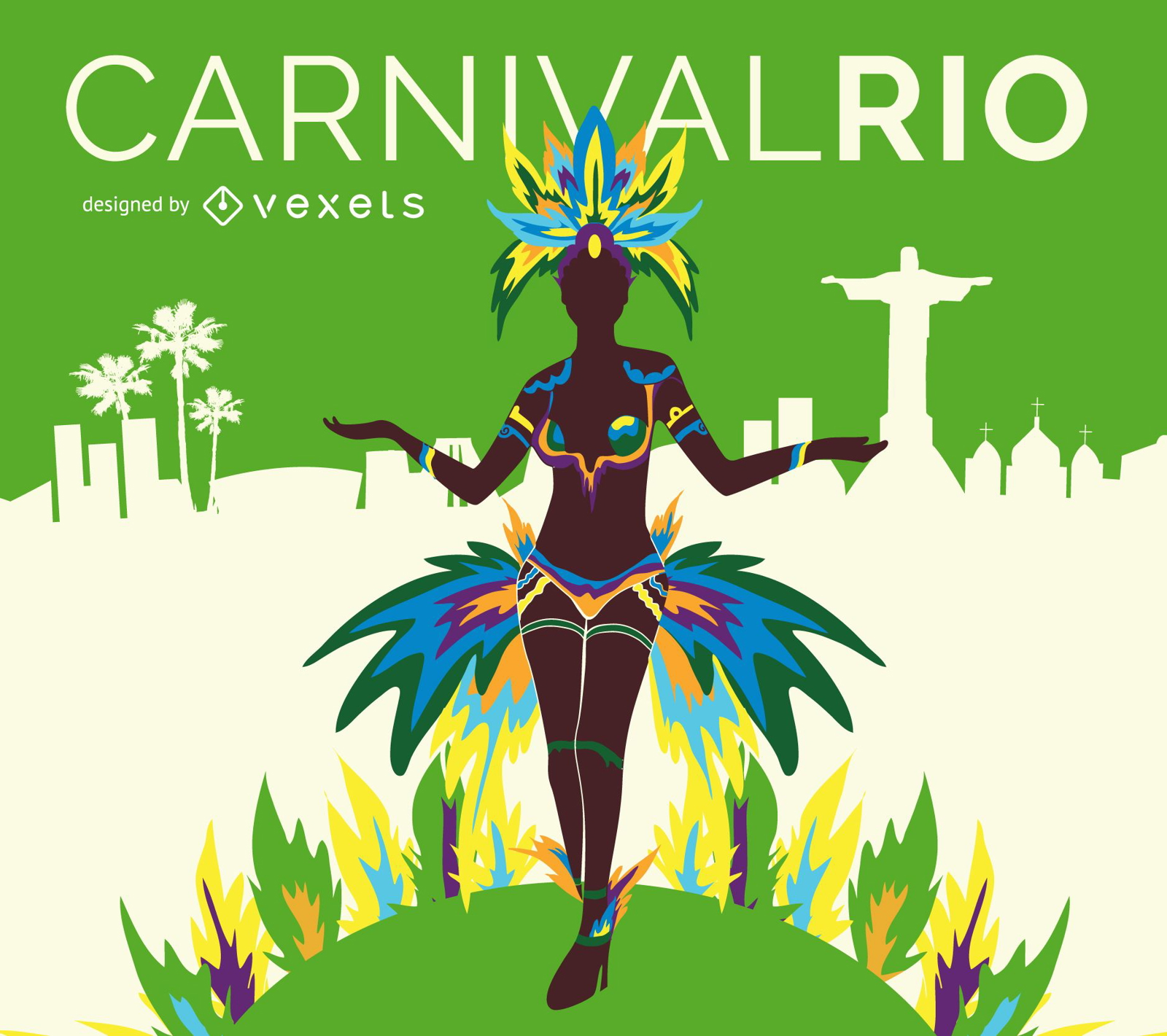
Pôster do Dançarino do Carnaval do Rio
Escolha uma pasta
Todos os favoritos
Criar novo
Salvar
Pôster do Dançarino do Carnaval do Rio
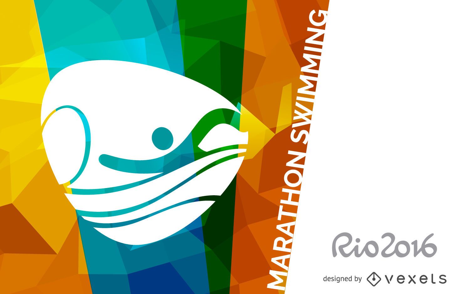
Bandeira de natação da maratona Rio 2016
Escolha uma pasta
Todos os favoritos
Criar novo
Salvar
Bandeira de natação da maratona Rio 2016
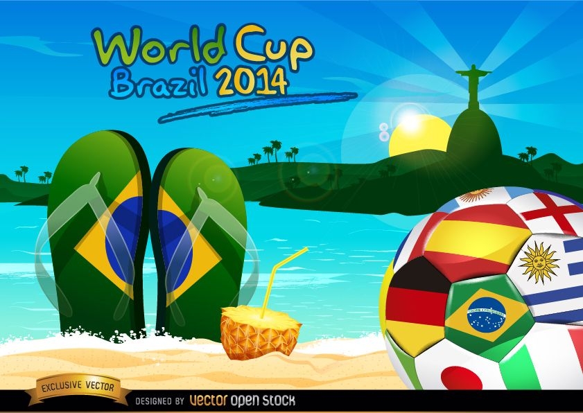
Bola do Brasil 2014 na praia do Rio
Escolha uma pasta
Todos os favoritos
Criar novo
Salvar
Bola do Brasil 2014 na praia do Rio
Premium
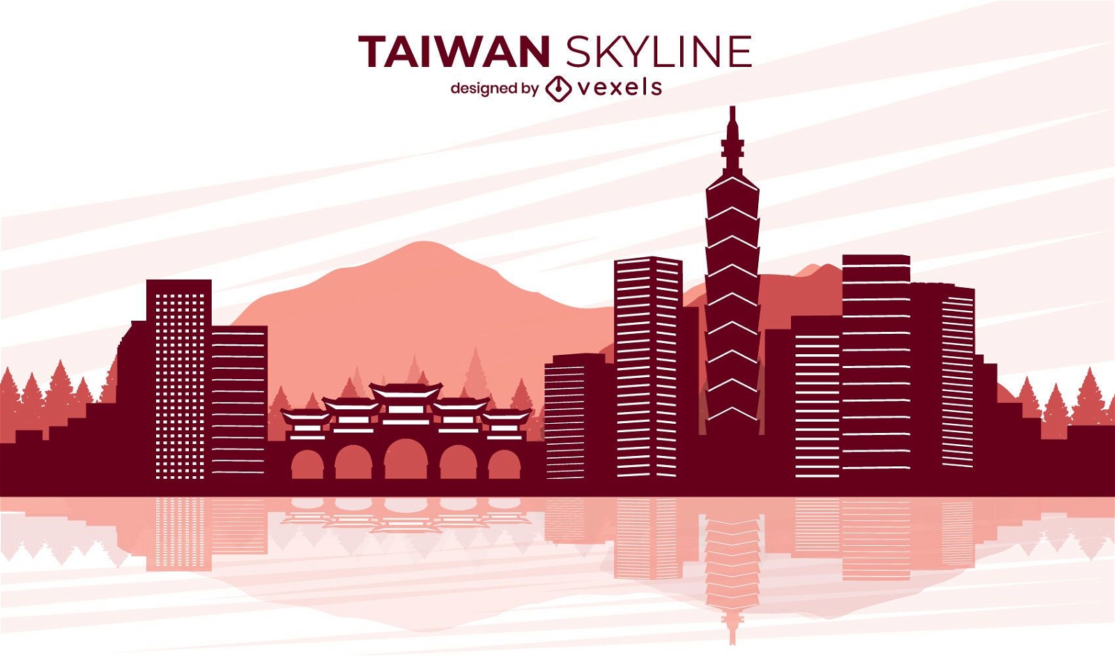
Projeto do horizonte da cidade de Taiwan
Escolha uma pasta
Todos os favoritos
Criar novo
Salvar
Projeto do horizonte da cidade de Taiwan
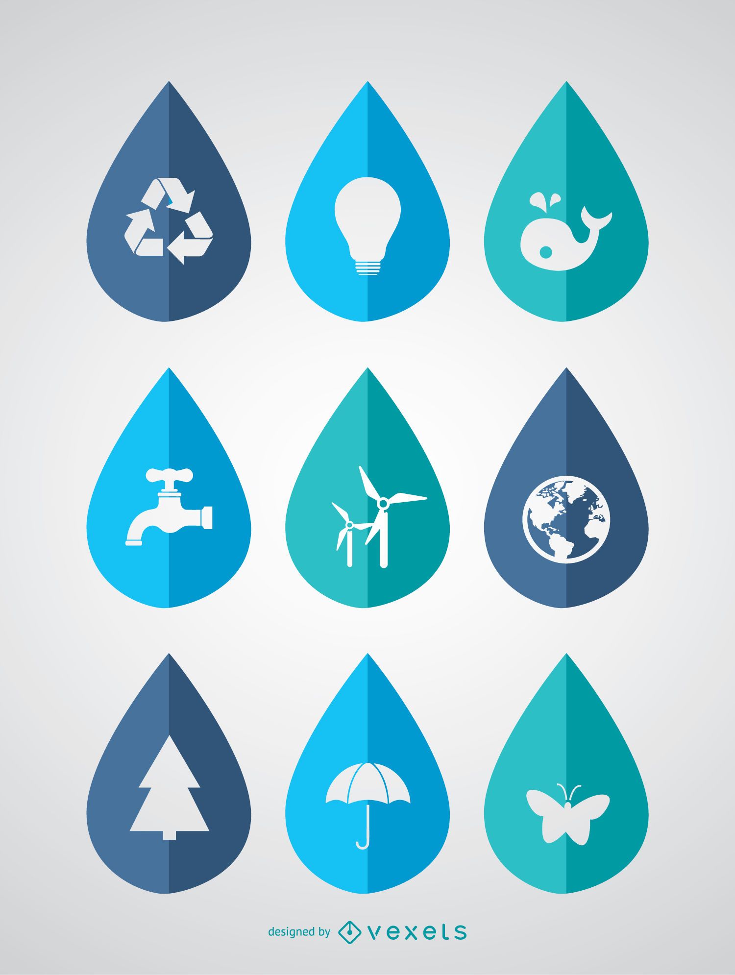
Dia Mundial da Água - 9 ícones ecológicos em gotas
Escolha uma pasta
Todos os favoritos
Criar novo
Salvar
Dia Mundial da Água - 9 ícones ecológicos em gotas
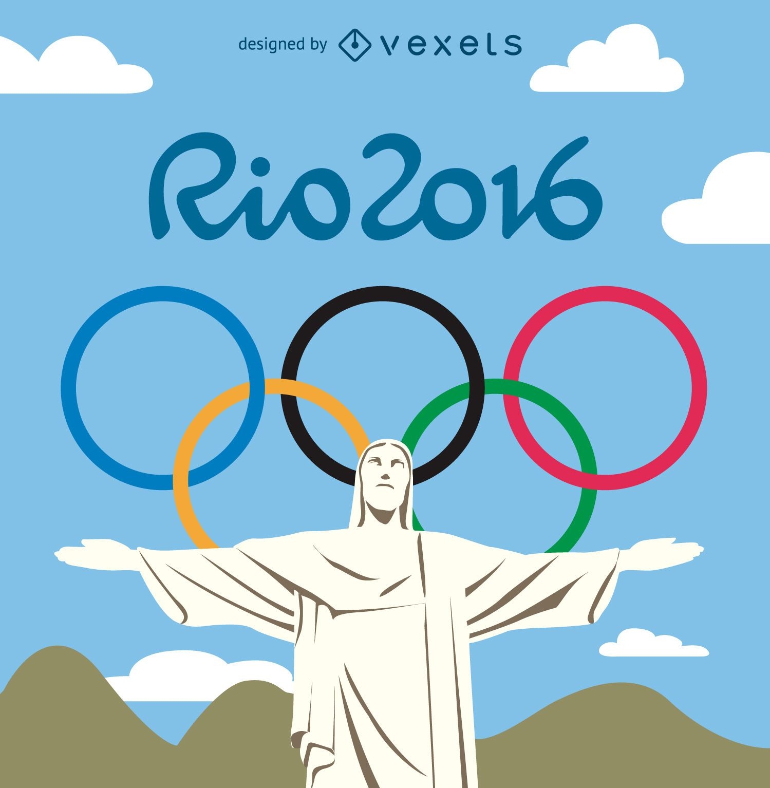
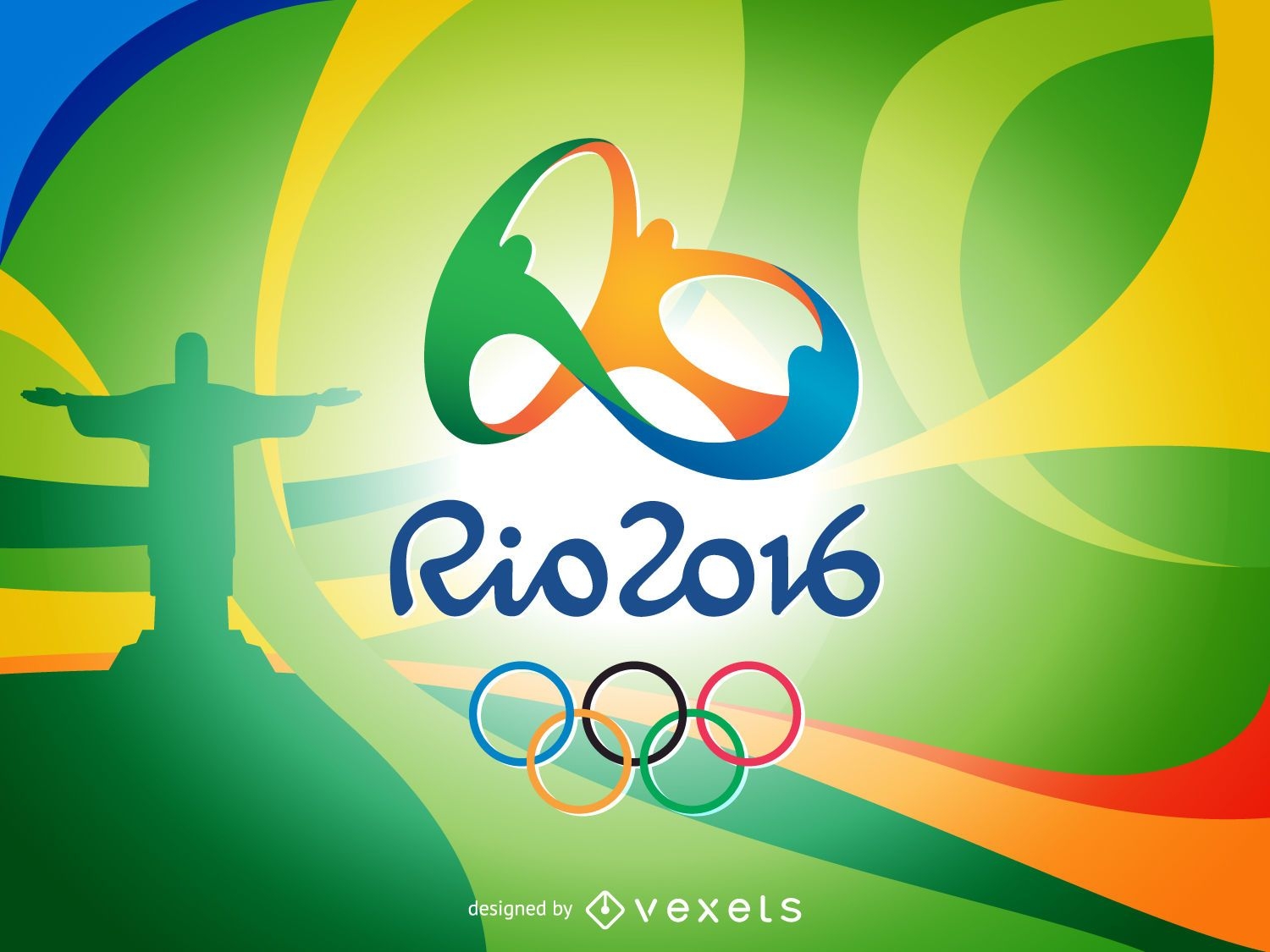
Jogos Olímpicos Rio 2016 - Cristo Redentor
Escolha uma pasta
Todos os favoritos
Criar novo
Salvar
Jogos Olímpicos Rio 2016 - Cristo Redentor
Bandeira da onda Rio 2016
Escolha uma pasta
Todos os favoritos
Criar novo
Salvar
Bandeira da onda Rio 2016
padrão tileable
Premium
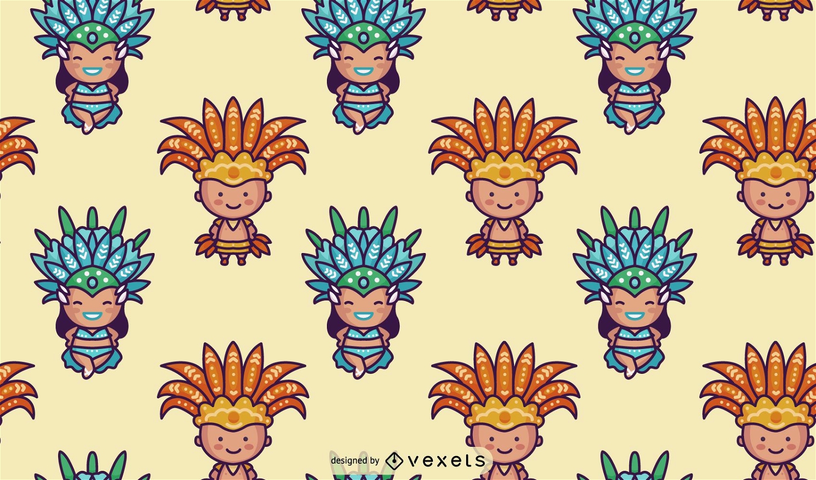
Padrão de personagem do carnaval brasileiro de Chibi
Escolha uma pasta
Todos os favoritos
Criar novo
Salvar
Padrão de personagem do carnaval brasileiro de Chibi
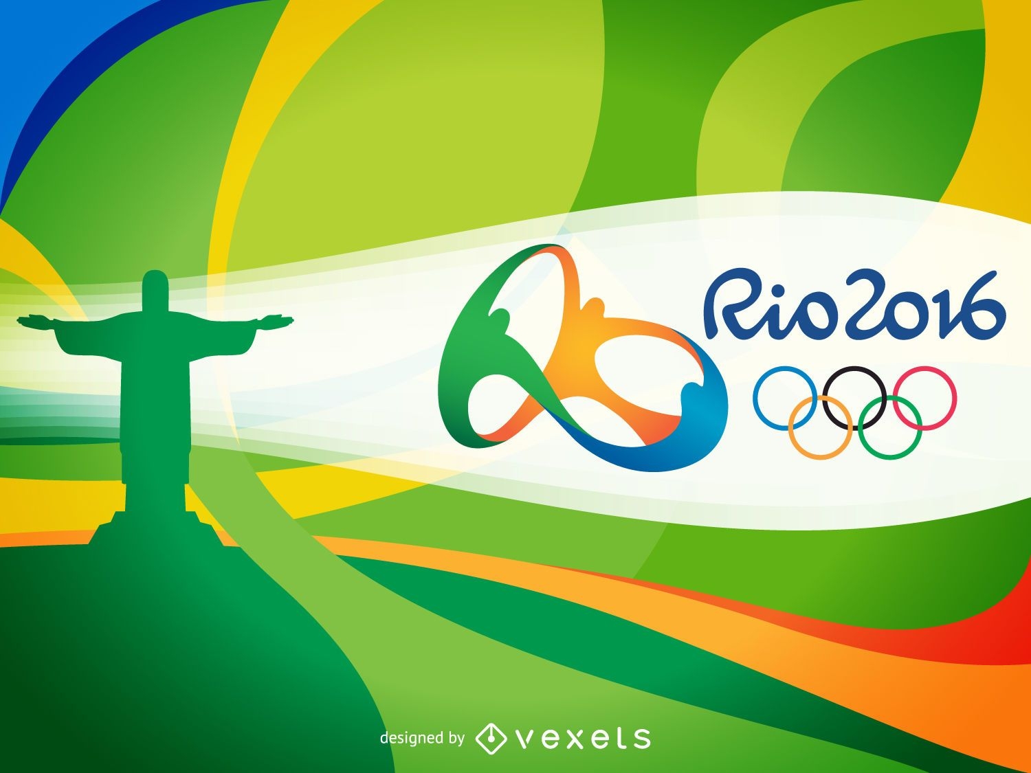
Banner colorido do Rio 2016
Escolha uma pasta
Todos os favoritos
Criar novo
Salvar
Banner colorido do Rio 2016
Ilustração colorida de carnaval
Escolha uma pasta
Todos os favoritos
Criar novo
Salvar
Ilustração colorida de carnaval
texto editável
Pronto para imprimir
Premium
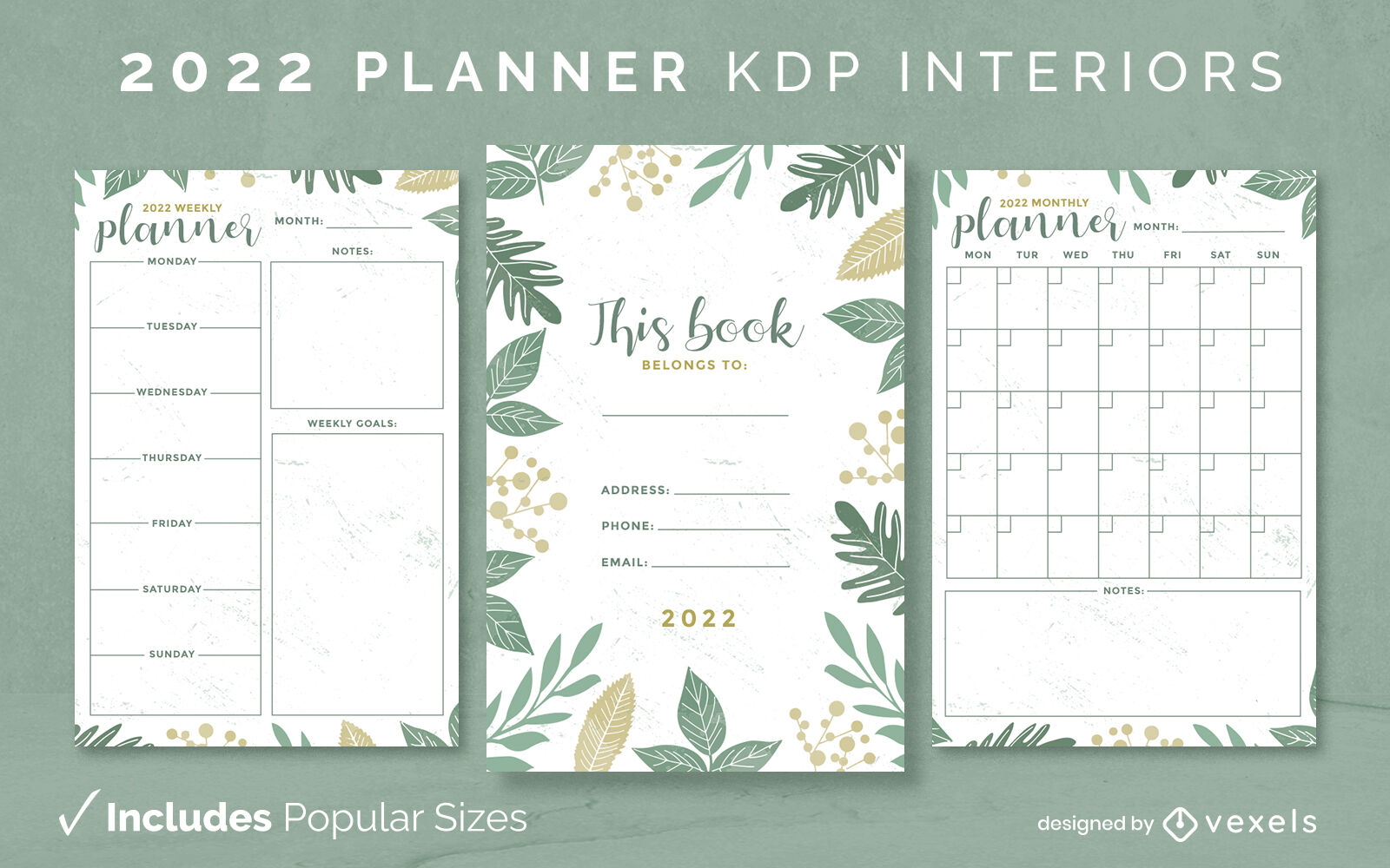
Modelo de diário do planejador de 2022 KDP interior
Escolha uma pasta
Todos os favoritos
Criar novo
Salvar
Modelo de diário do planejador de 2022 KDP interior
texto editável
Pronto para imprimir
Premium
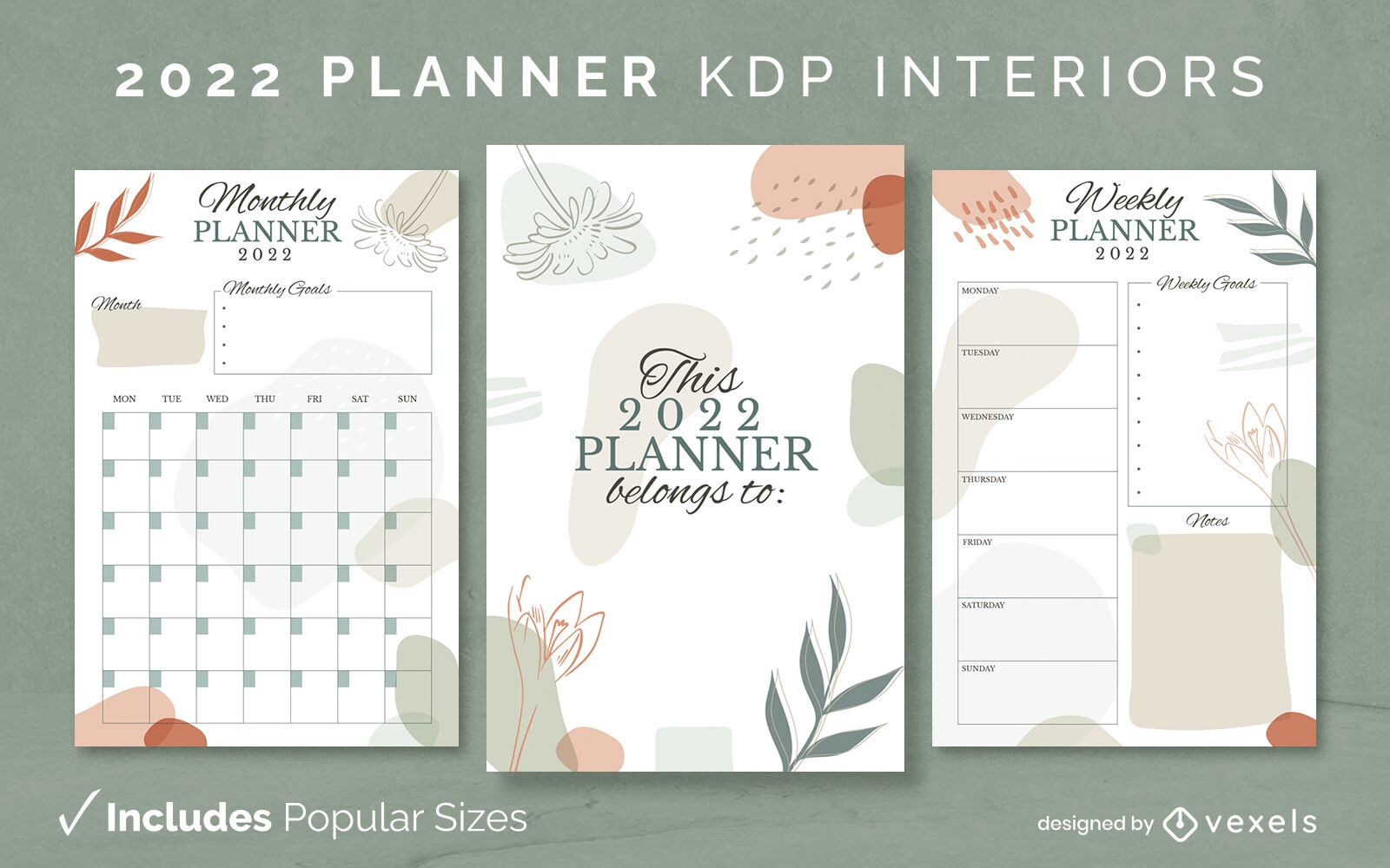
Modelo de design abstrato do planejador 2022 KDP
Escolha uma pasta
Todos os favoritos
Criar novo
Salvar
Modelo de design abstrato do planejador 2022 KDP
Pronto para imprimir
Premium
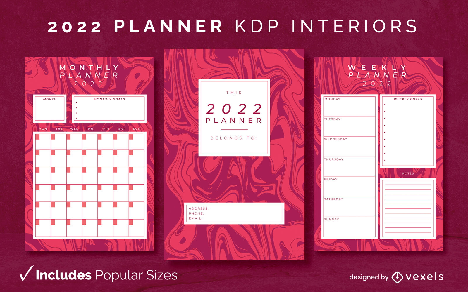
Modelo interior do planejador abstrato 2022 KDP
Escolha uma pasta
Todos os favoritos
Criar novo
Salvar
Modelo interior do planejador abstrato 2022 KDP
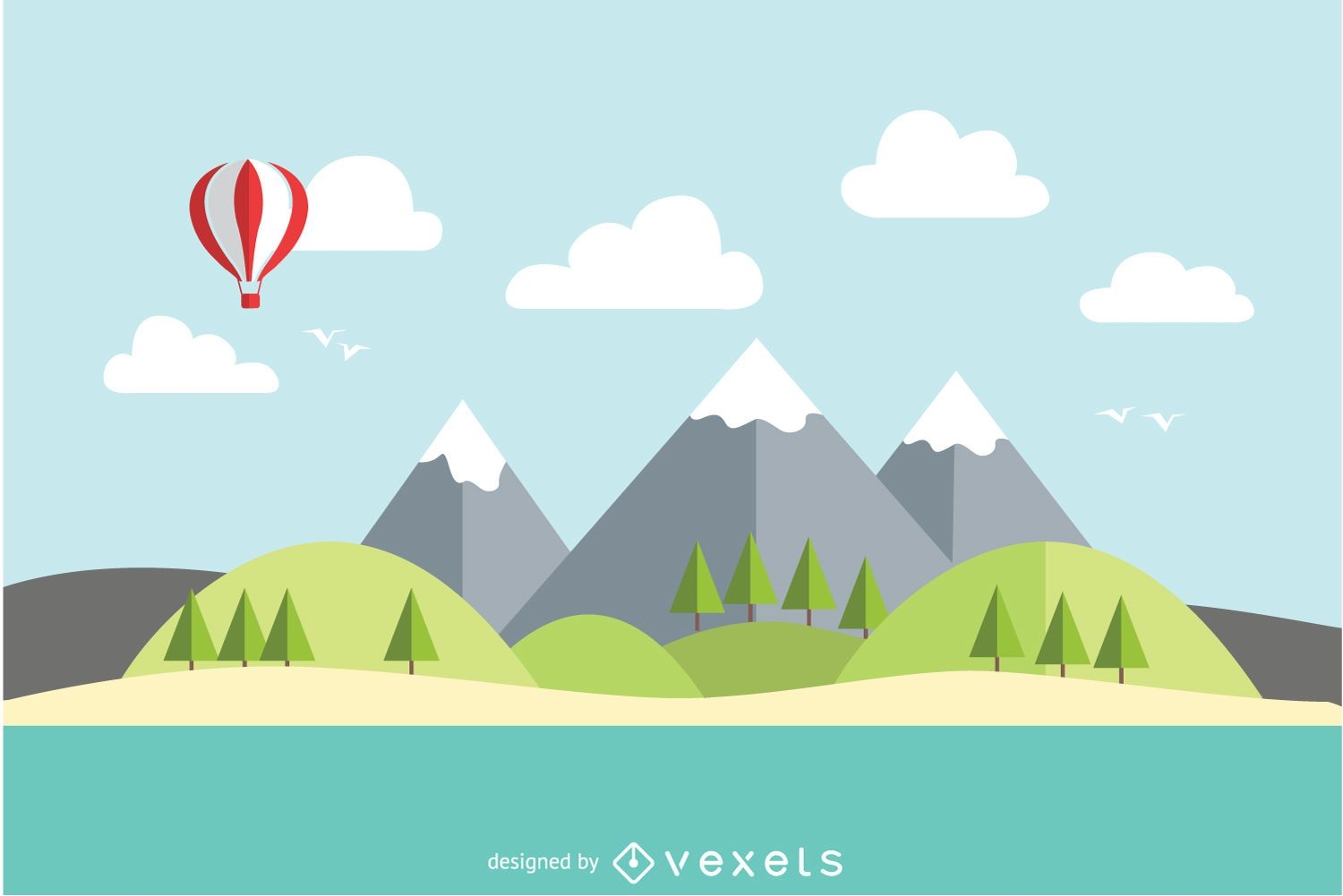
Paisagem plana de lago de montanha
Escolha uma pasta
Todos os favoritos
Criar novo
Salvar
Paisagem plana de lago de montanha
texto editável
Pronto para imprimir
Premium
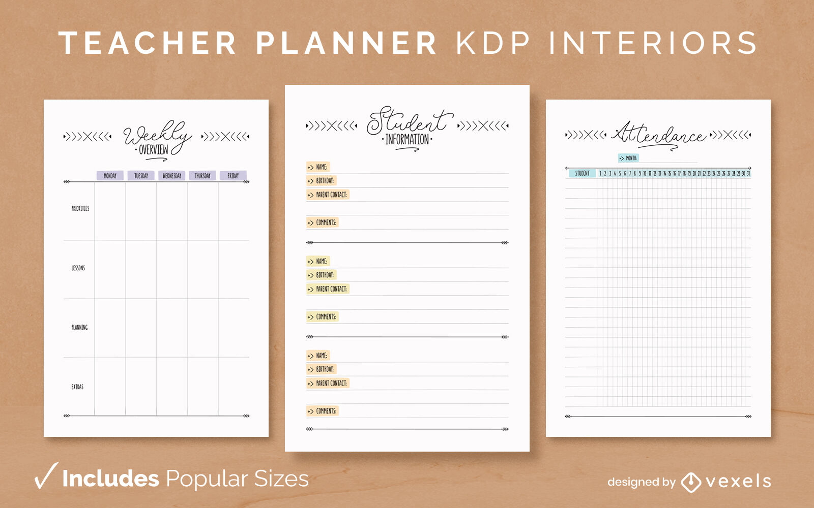
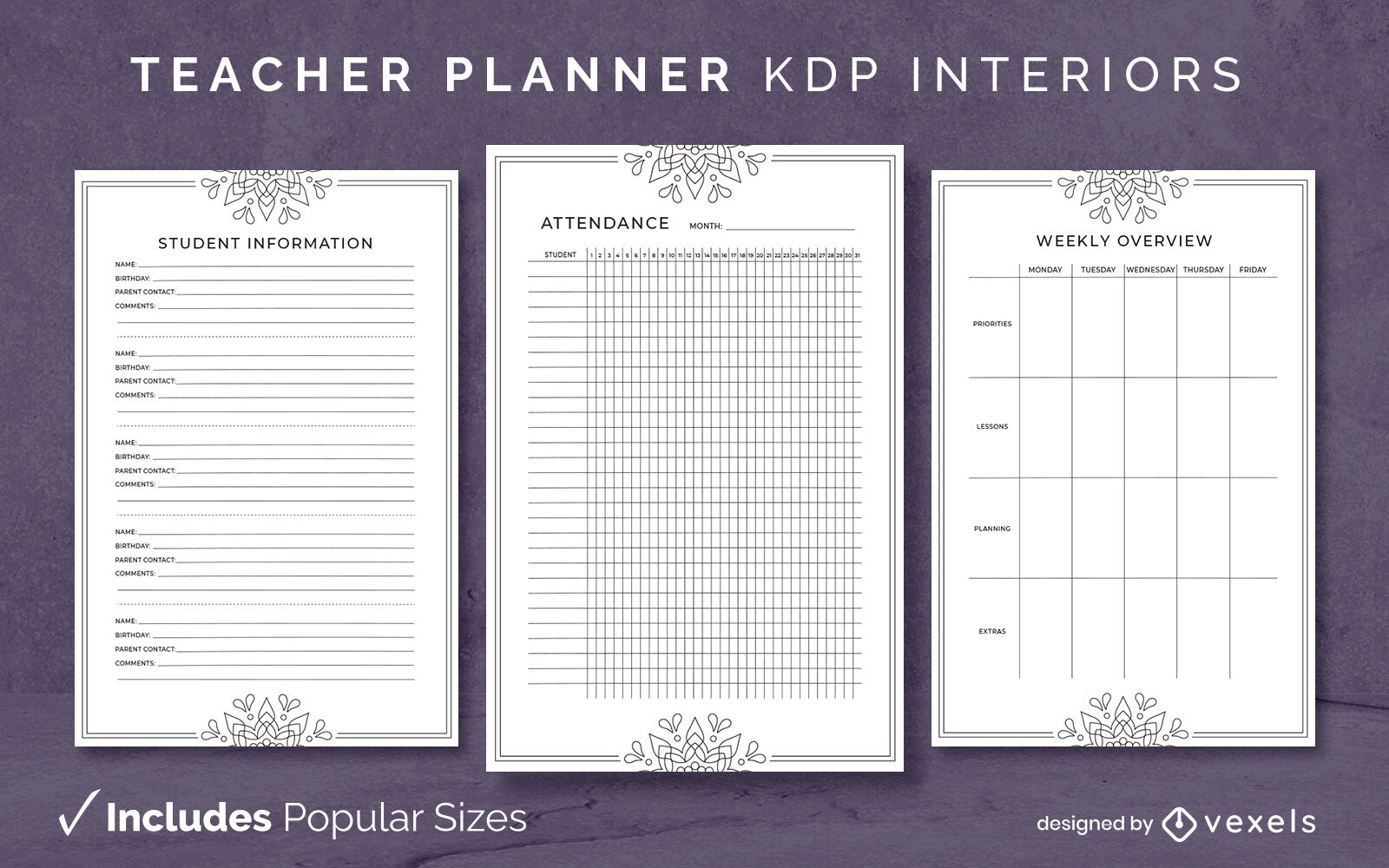
Modelo de design de diário do planejador de professores KDP
Escolha uma pasta
Todos os favoritos
Criar novo
Salvar
Modelo de design de diário do planejador de professores KDP
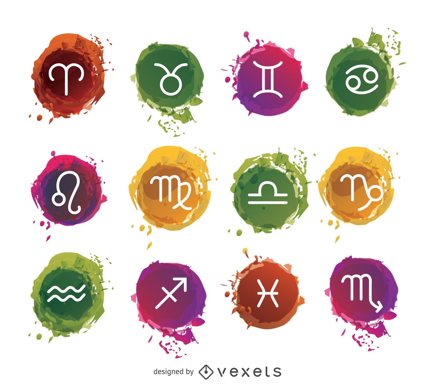
Conjunto de signos do zodíaco em aquarela
Escolha uma pasta
Todos os favoritos
Criar novo
Salvar
Conjunto de signos do zodíaco em aquarela
texto editável
Premium
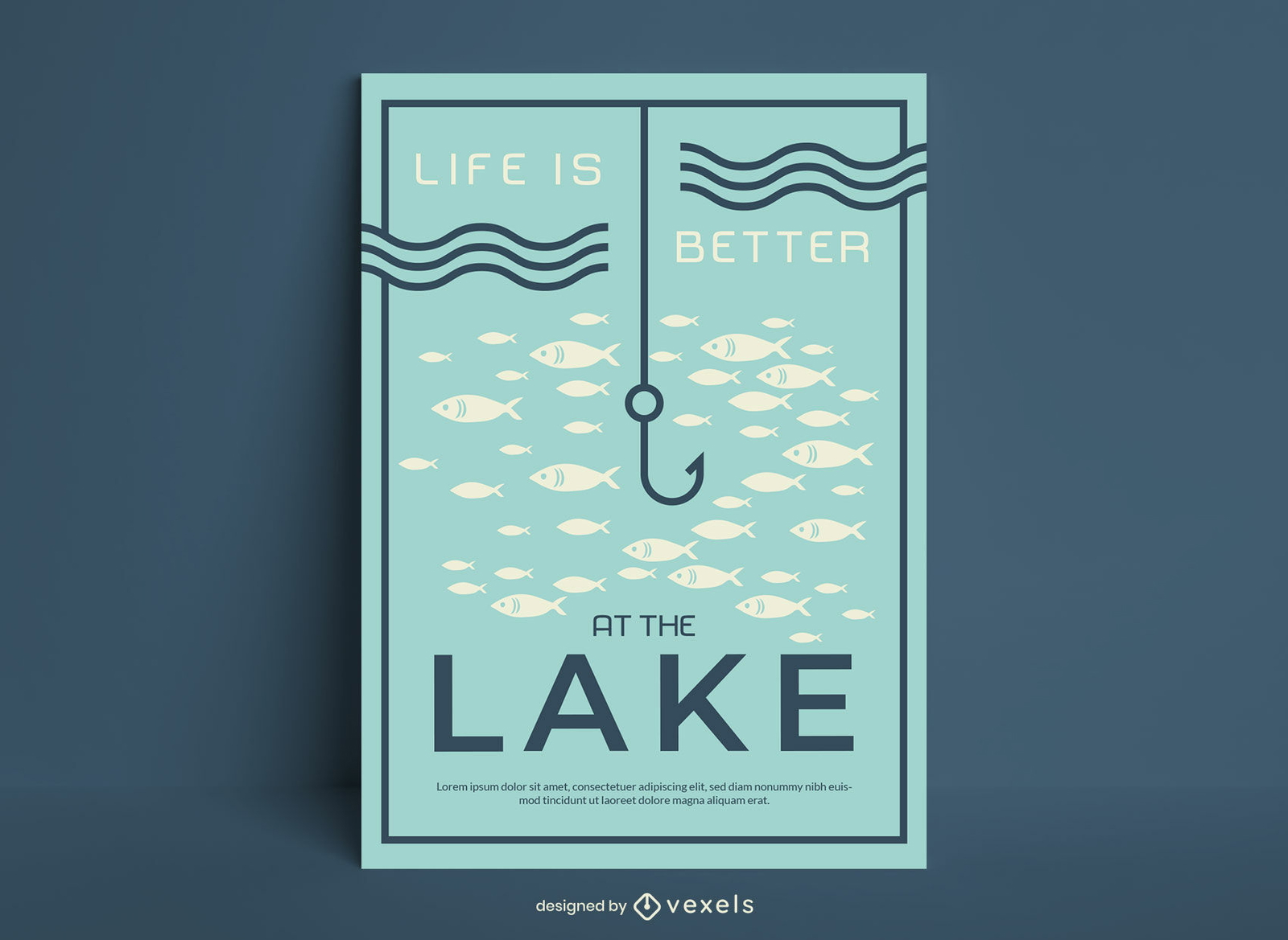
A vida é melhor no pôster de pesca no lago
Escolha uma pasta
Todos os favoritos
Criar novo
Salvar
A vida é melhor no pôster de pesca no lago
texto editável
Pronto para imprimir
Premium
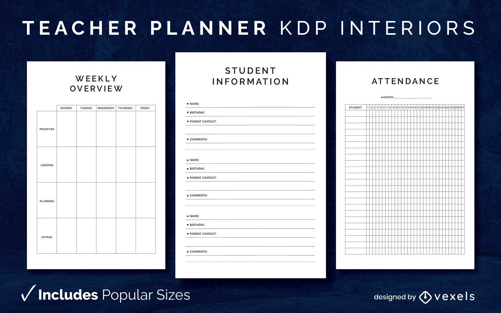
Modelo de diário de planejador de professores KDP design de interiores
Escolha uma pasta
Todos os favoritos
Criar novo
Salvar
Modelo de diário de planejador de professores KDP design de interiores
texto editável
Pronto para imprimir
Premium
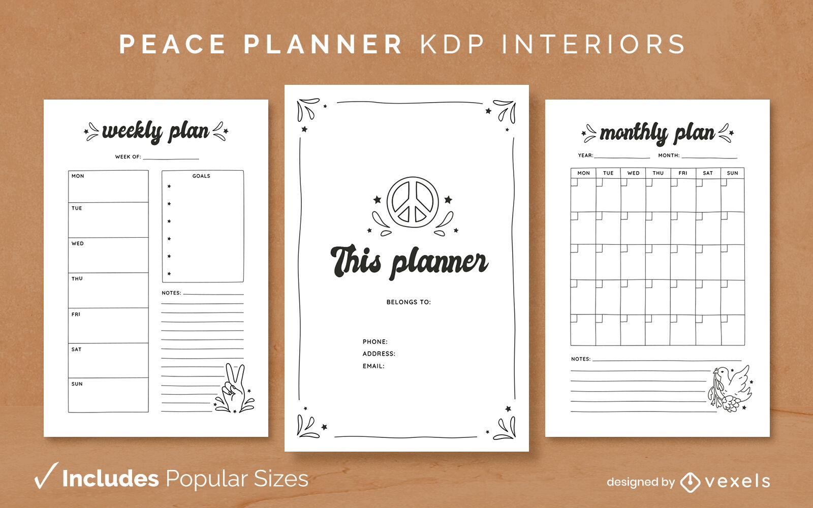
Modelo de Design de Diário do planejador da paz KDP
Escolha uma pasta
Todos os favoritos
Criar novo
Salvar
Modelo de Design de Diário do planejador da paz KDP
texto editável
Pronto para imprimir
Premium
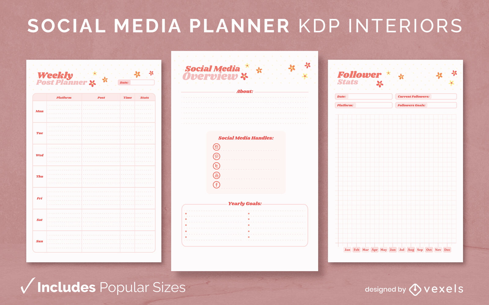
KDP de modelo de design de jornal de planejador de mídia social
Escolha uma pasta
Todos os favoritos
Criar novo
Salvar
KDP de modelo de design de jornal de planejador de mídia social
texto editável
Pronto para imprimir
Premium
Modelo de design de diário do planejador Corgi KDP
Escolha uma pasta
Todos os favoritos
Criar novo
Salvar
Modelo de design de diário do planejador Corgi KDP
Capa do Livro
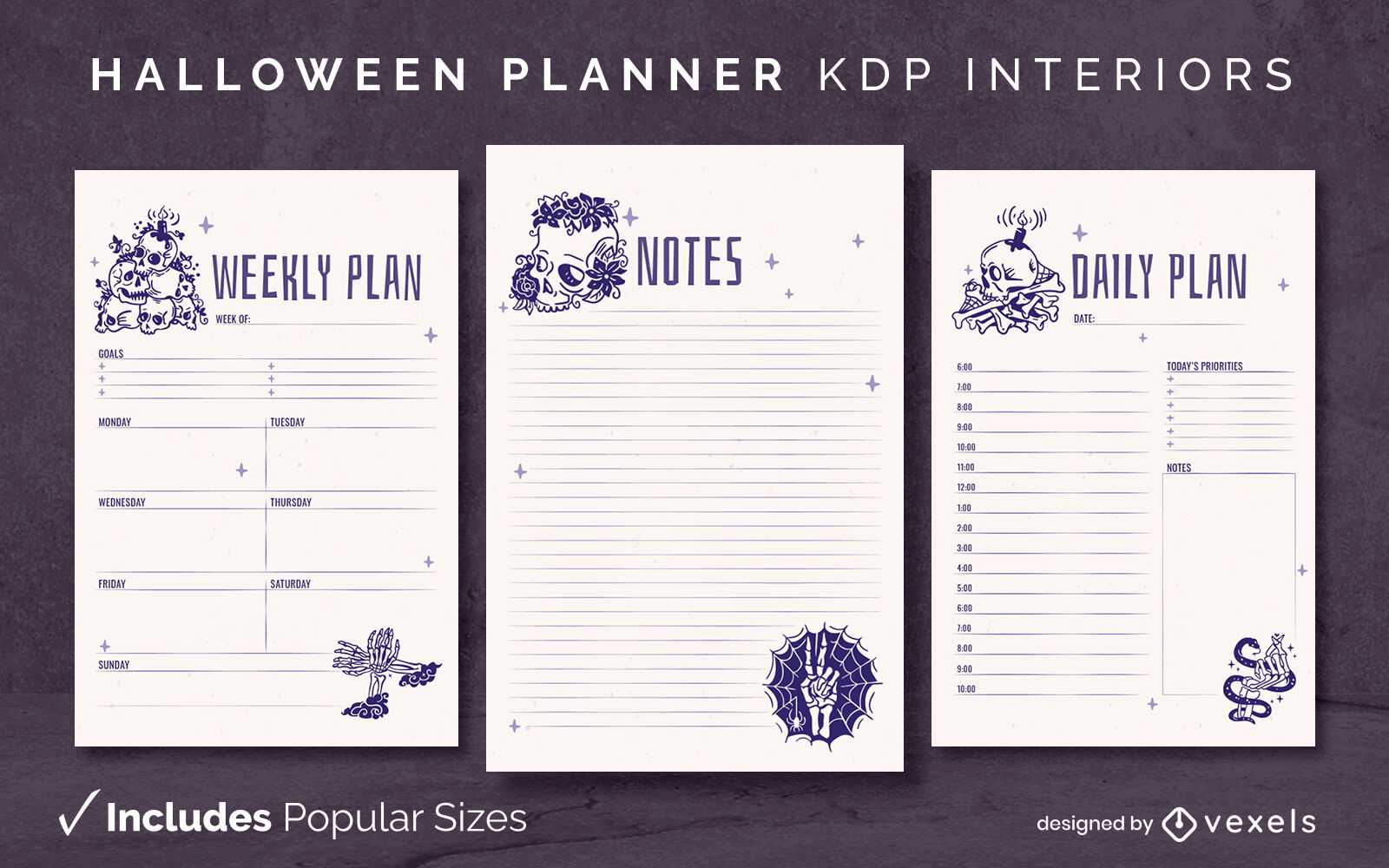
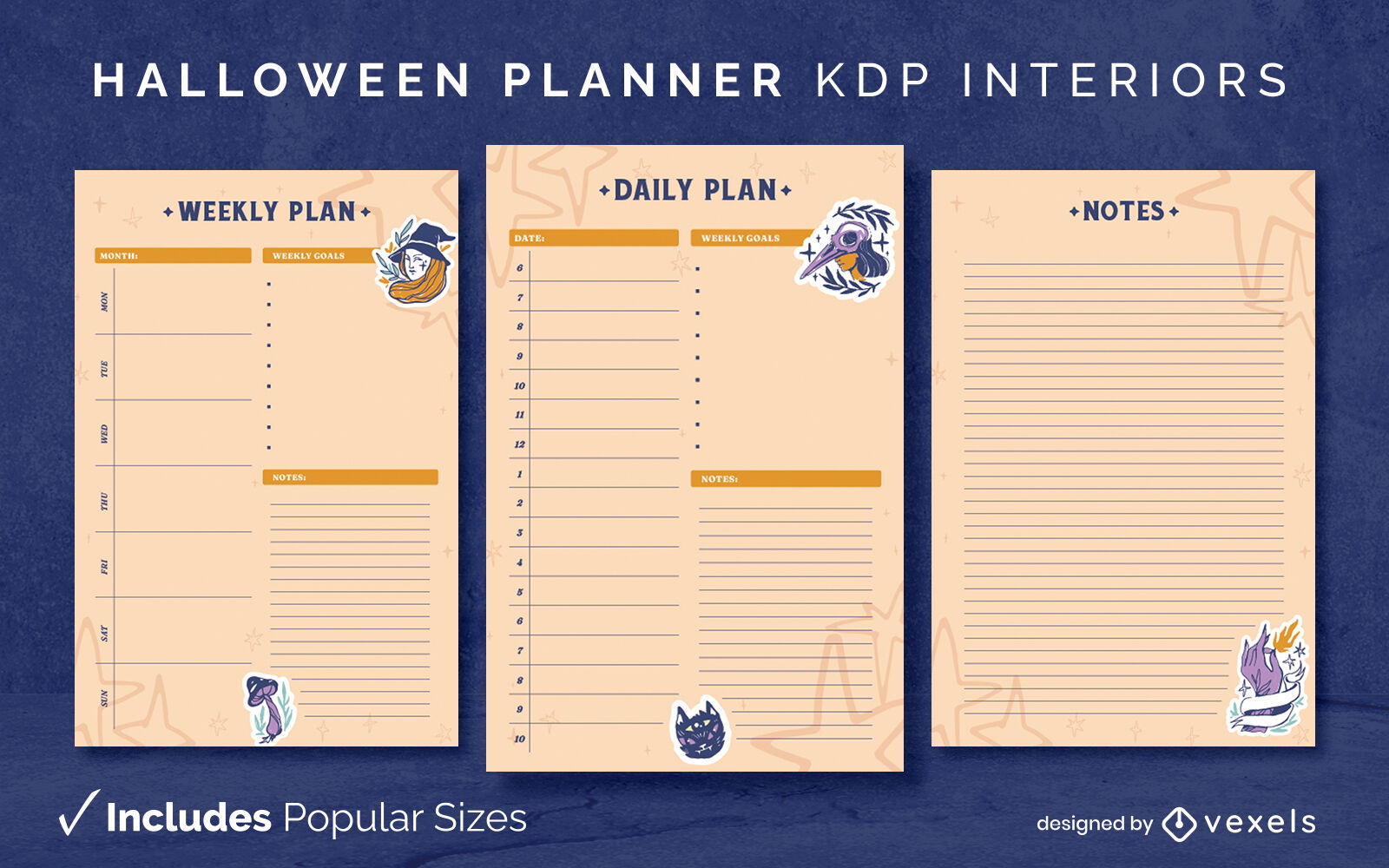
Modelo de diário de esqueletos de planejador de Halloween KDP design de interiores
Escolha uma pasta
Todos os favoritos
Criar novo
Salvar
Modelo de diário de esqueletos de planejador de Halloween KDP design de interiores
texto editável
Pronto para imprimir
Premium
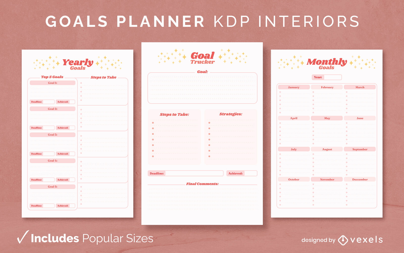
Modelo de design de diário do planejador de metas KDP
Escolha uma pasta
Todos os favoritos
Criar novo
Salvar
Modelo de design de diário do planejador de metas KDP
texto editável
Pronto para imprimir
Premium
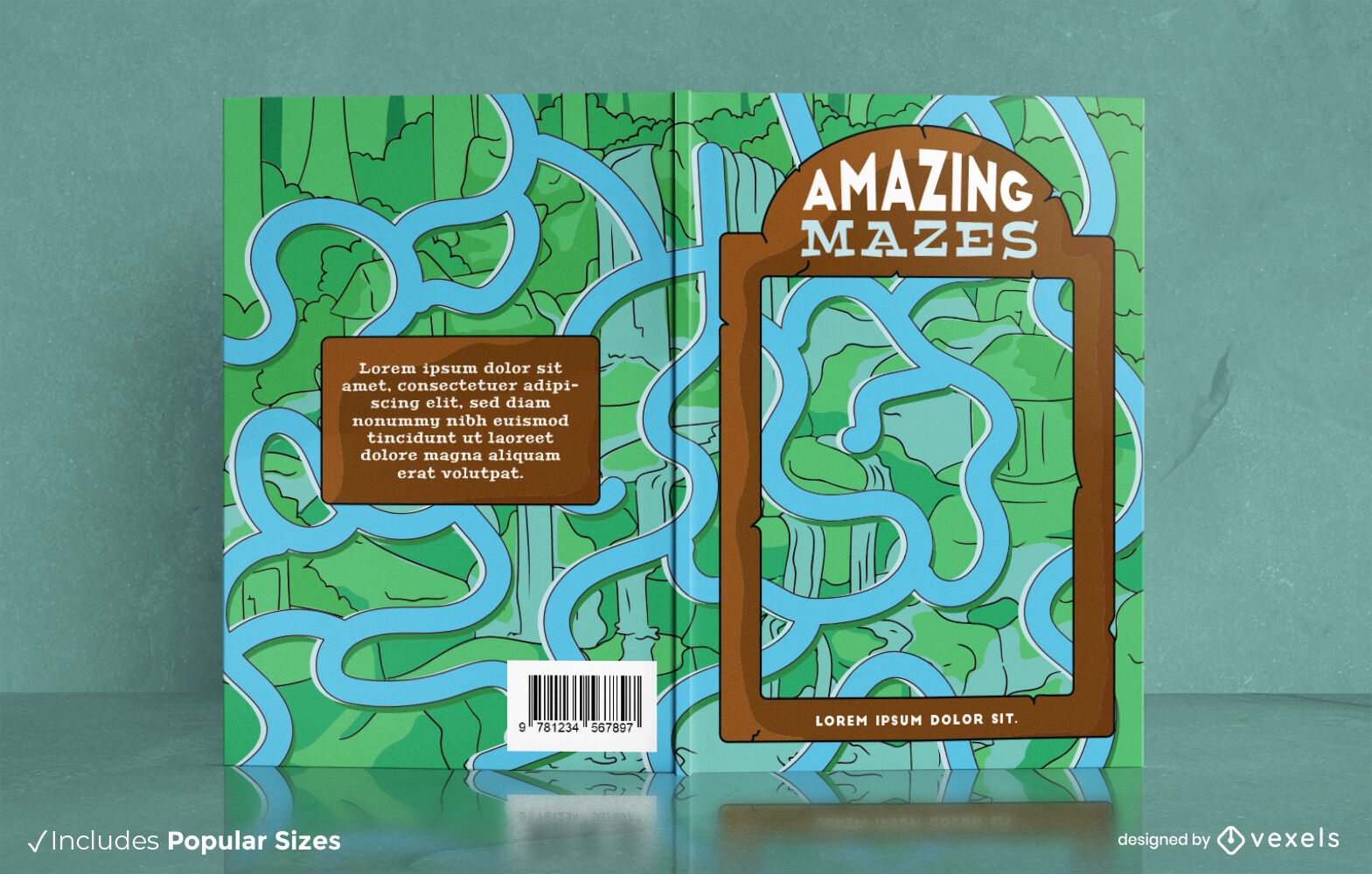
Rio no design da capa do livro do labirinto da selva
Escolha uma pasta
Todos os favoritos
Criar novo
Salvar
Rio no design da capa do livro do labirinto da selva
texto editável
Pronto para imprimir
Premium
Modelo de diário de planejador de bruxas de Halloween KDP design de interiores
Escolha uma pasta
Todos os favoritos
Criar novo
Salvar
Modelo de diário de planejador de bruxas de Halloween KDP design de interiores
texto editável
Pronto para imprimir
Premium
Planejador mensal duotônico modelo de design de jornal KDP
Escolha uma pasta
Todos os favoritos
Criar novo
Salvar
Planejador mensal duotônico modelo de design de jornal KDP
texto editável
Pronto para imprimir
Premium
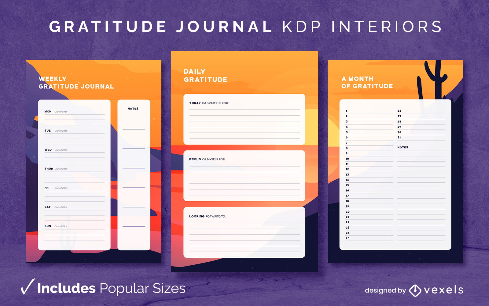
Modelo de design do deserto do diário de gratidão KDP
Escolha uma pasta
Todos os favoritos
Criar novo
Salvar
Modelo de design do deserto do diário de gratidão KDP
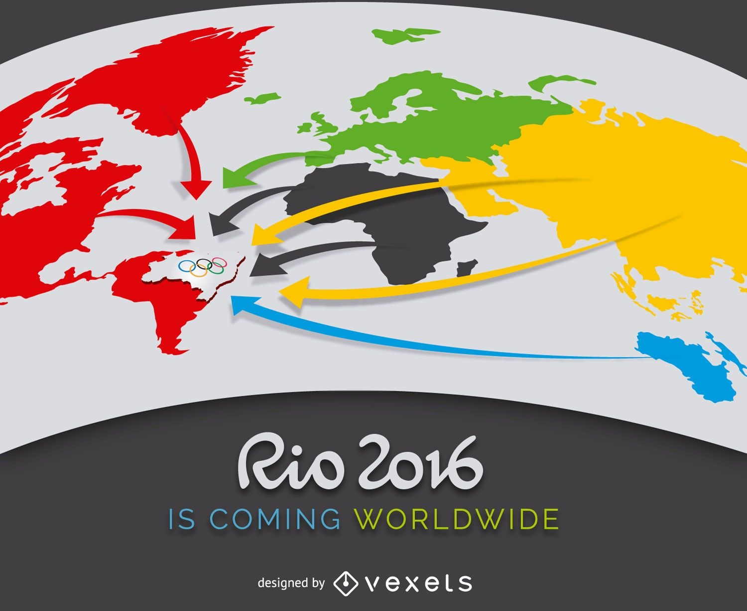
Publicidade Rio 2016
Escolha uma pasta
Todos os favoritos
Criar novo
Salvar
Publicidade Rio 2016
texto editável
Pronto para imprimir
Premium
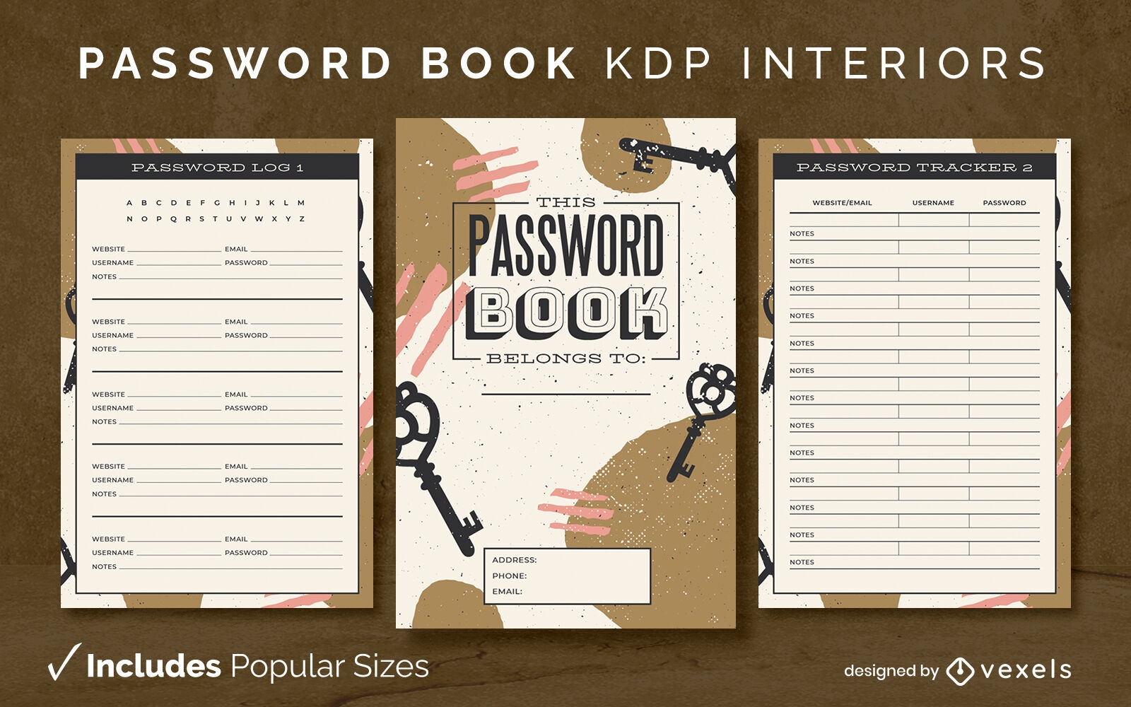
Design de interiores KDP abstrato do livro de senhas
Escolha uma pasta
Todos os favoritos
Criar novo
Salvar
Design de interiores KDP abstrato do livro de senhas
texto editável
Pronto para imprimir
Premium
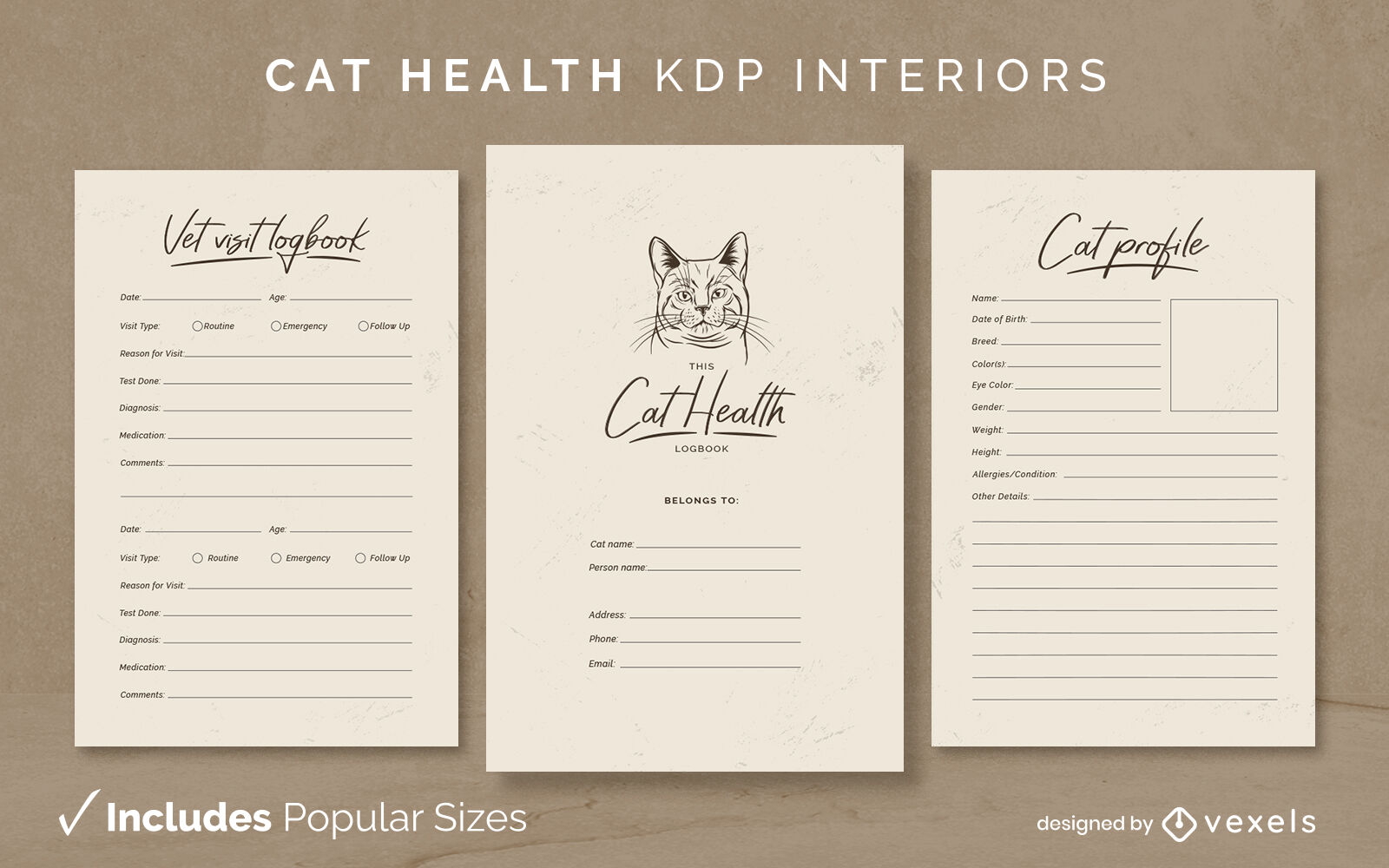
Saúde do gato KDP design de interiores
Escolha uma pasta
Todos os favoritos
Criar novo
Salvar
Saúde do gato KDP design de interiores
Premium
Canoa Panda
Escolha uma pasta
Todos os favoritos
Criar novo
Salvar
Canoa Panda
Fundo do Japão Fuji
Escolha uma pasta
Todos os favoritos
Criar novo
Salvar
Fundo do Japão Fuji
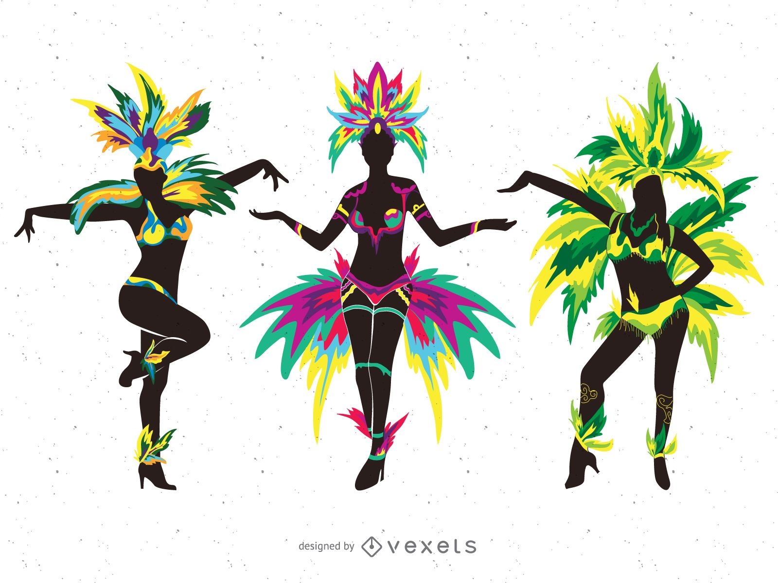
Ilustrações de silhueta de dançarinos de carnaval
Escolha uma pasta
Todos os favoritos
Criar novo
Salvar
Ilustrações de silhueta de dançarinos de carnaval
texto editável
Pronto para imprimir
Premium
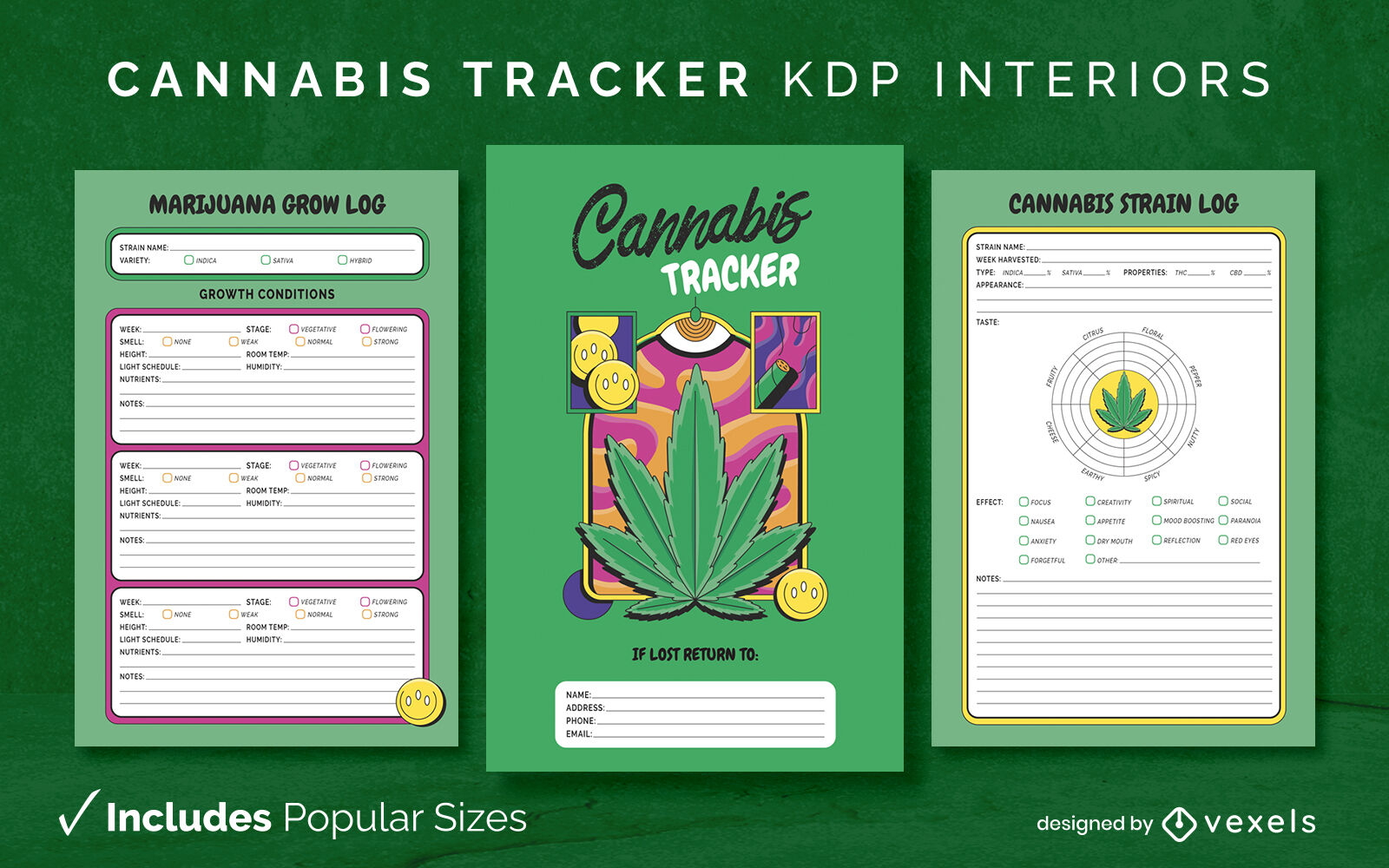
Modelo de diário de rastreador de cannabis KDP design de interiores
Escolha uma pasta
Todos os favoritos
Criar novo
Salvar
Modelo de diário de rastreador de cannabis KDP design de interiores
Valentine Sunset Dock
Escolha uma pasta
Todos os favoritos
Criar novo
Salvar
Valentine Sunset Dock
texto editável
Pronto para imprimir
Premium
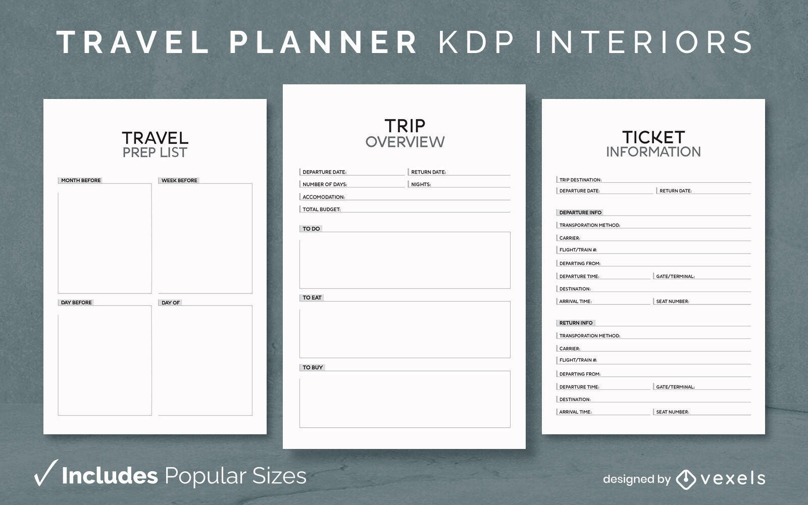
Modelo de design de diário do planejador de viagens KDP
Escolha uma pasta
Todos os favoritos
Criar novo
Salvar
Modelo de design de diário do planejador de viagens KDP
texto editável
Pronto para imprimir
Premium
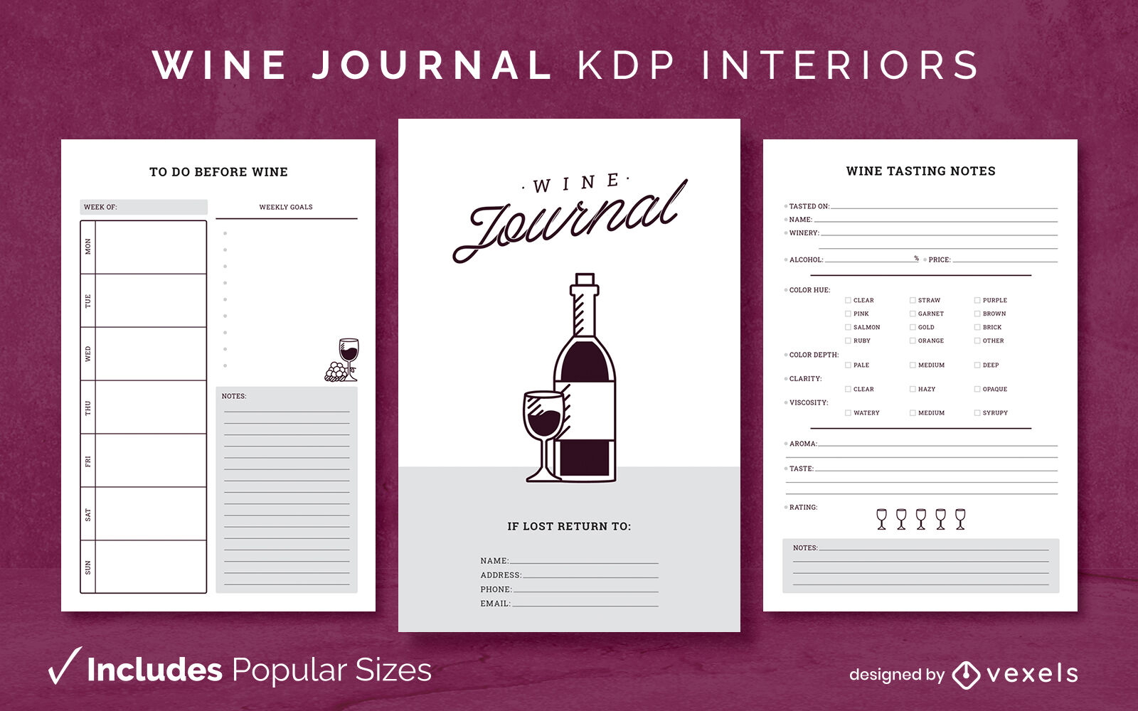
Modelo de Design de Diário de Vinhos KDP
Escolha uma pasta
Todos os favoritos
Criar novo
Salvar
Modelo de Design de Diário de Vinhos KDP
texto editável
Pronto para imprimir
Premium
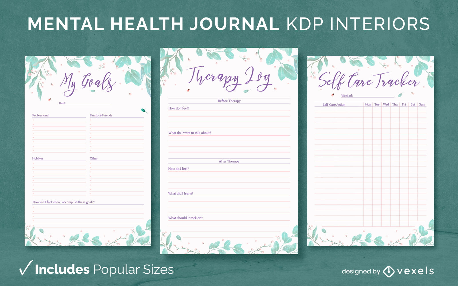
Diário floral de saúde mental Modelo de Design KDP
Escolha uma pasta
Todos os favoritos
Criar novo
Salvar
Diário floral de saúde mental Modelo de Design KDP
texto editável
Pronto para imprimir
Premium
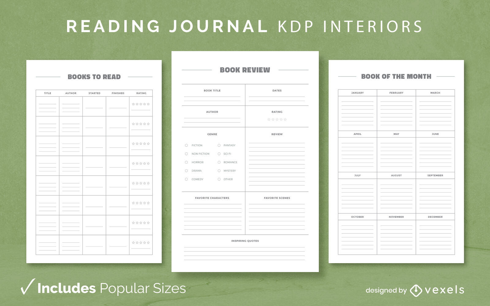
Modelo de Design de Diário de Leitura Simples KDP
Escolha uma pasta
Todos os favoritos
Criar novo
Salvar
Modelo de Design de Diário de Leitura Simples KDP
texto editável
Pronto para imprimir
Premium
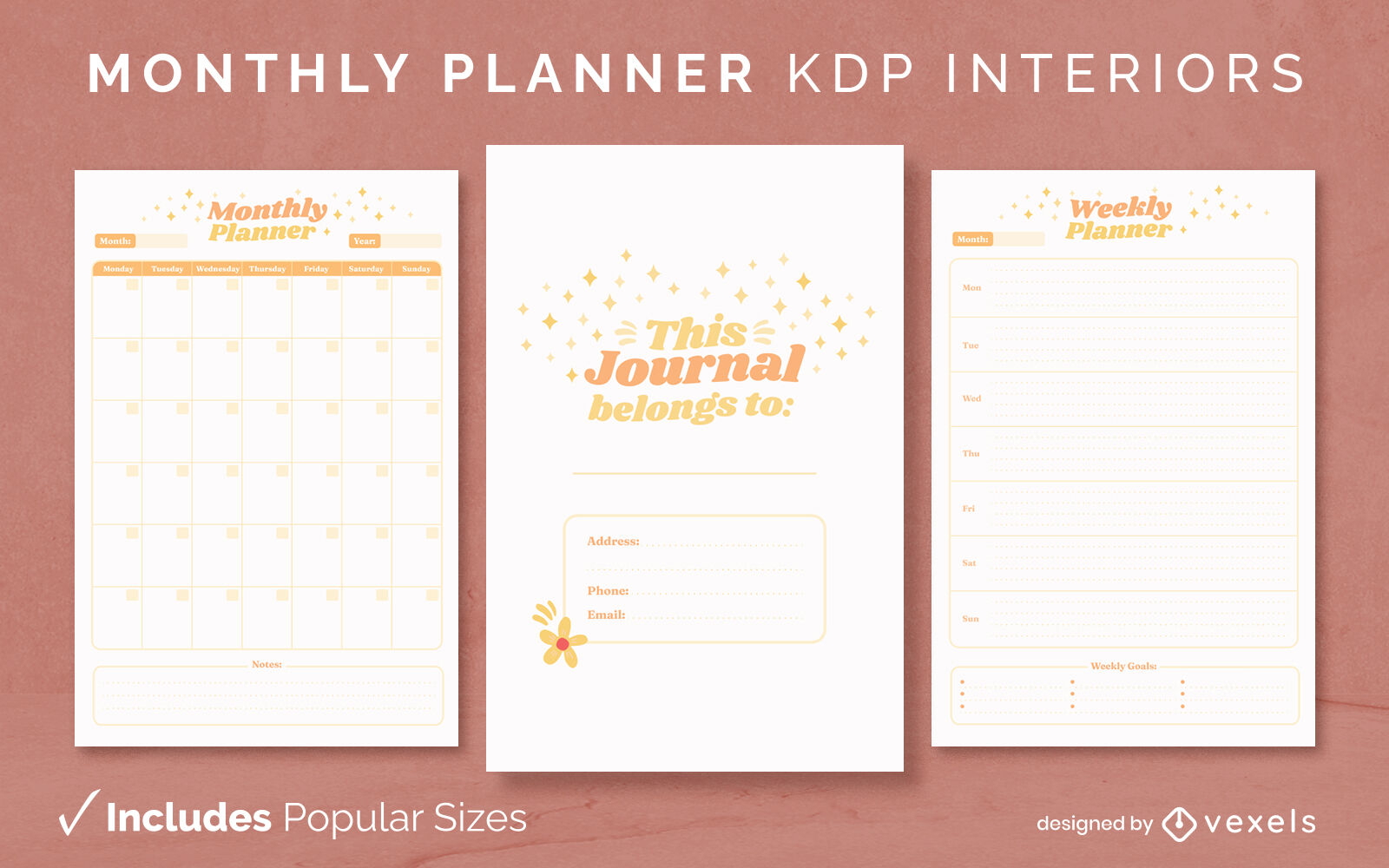
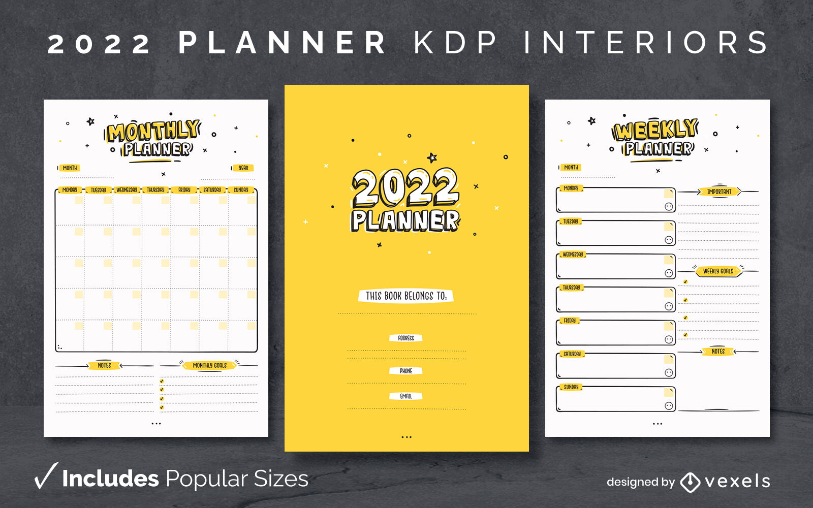
Modelo de design de diário do planejador 2022 KDP
Escolha uma pasta
Todos os favoritos
Criar novo
Salvar
Modelo de design de diário do planejador 2022 KDP
Padrão de piso de praia de Copacabana
Escolha uma pasta
Todos os favoritos
Criar novo
Salvar
Padrão de piso de praia de Copacabana
Menino pescando no lago desenho animado
Escolha uma pasta
Todos os favoritos
Criar novo
Salvar
Menino pescando no lago desenho animado
texto editável
Pronto para imprimir
Premium
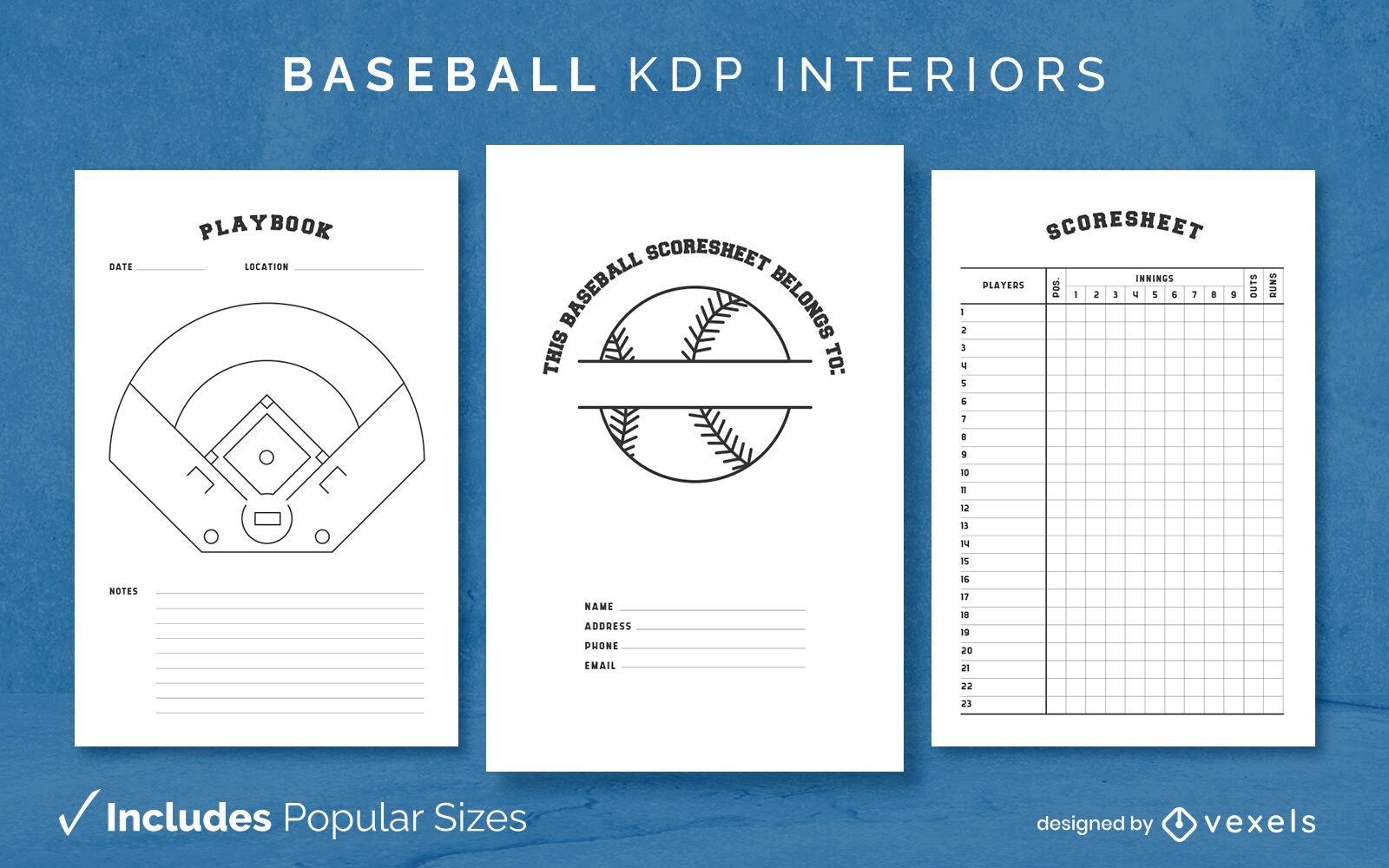
Modelo de diário de beisebol KDP design de interiores
Escolha uma pasta
Todos os favoritos
Criar novo
Salvar
Modelo de diário de beisebol KDP design de interiores
texto editável
Pronto para imprimir
Premium
Planejador de professores de mandala Modelo de design de diário KDP
Escolha uma pasta
Todos os favoritos
Criar novo
Salvar
Planejador de professores de mandala Modelo de design de diário KDP
Impulsione seu negócio
Com a plataforma gráfica líder de mercado.
Ver planos
Próxima
do 11
prev page
next page