Biblioteca de design
Novos designs Merch
Camisetas
Vectores
Designs de Merch de Tendência
PNGs & SVGs
Mockups
Modelos de T-Shirt PSD
Explorar Desenhos
Designs KDP
Pôsteres
Canecas
Capas para celular
Sacos de compras
Almofadas
Ferramentas de desenho
Merch Designer
Novo!
Mockup Generator
Gerador de Design de AI
Vetorizador
Quote Generator
T-Shirt Maker (Antigo)
Ajuda
Merch Digest
Blog
Centro de Ajuda
Saiba mais sobre o Merch
Feedback
Soluções Corporativas
Empresa
Acesso à API
Estúdio de Design
Design em Lote
Preços
Carregando...
Inscrever-se
Conecte-se
Merch Vectors
der
Biblioteca de design
Novos designs Merch
Camisetas
Vectores
Designs de Merch de Tendência
PNGs & SVGs
Mockups
Modelos de T-Shirt PSD
Explorar Desenhos
Designs KDP
Pôsteres
Canecas
Capas para celular
Sacos de compras
Almofadas
Ferramentas de desenho
Merch Designer
Novo!
Mockup Generator
Gerador de Design de AI
Vetorizador
Quote Generator
T-Shirt Maker (Antigo)
Ajuda
Merch Digest
Blog
Centro de Ajuda
Saiba mais sobre o Merch
Feedback
Soluções Corporativas
Empresa
Acesso à API
Estúdio de Design
Design em Lote
PLANOS
Merch Vectors
der
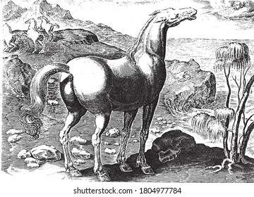
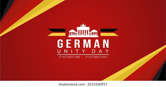
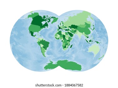
21611 Designs Vetoriais de der para Camisetas e Merch
Baixar e comprar Designs Vetoriais AI de der para Camisetas, Capas do Celular, Capas do Livros e outros produtos Merch
Relacionado:
derby
,
roller derby
,
dervixe
Ordenar por
Mais relevante
Resultados patrocinados da
Ganhe 15% de desconto com o código: VEXELS15
veja mais detalhes
Pronto para imprimir
para Merch
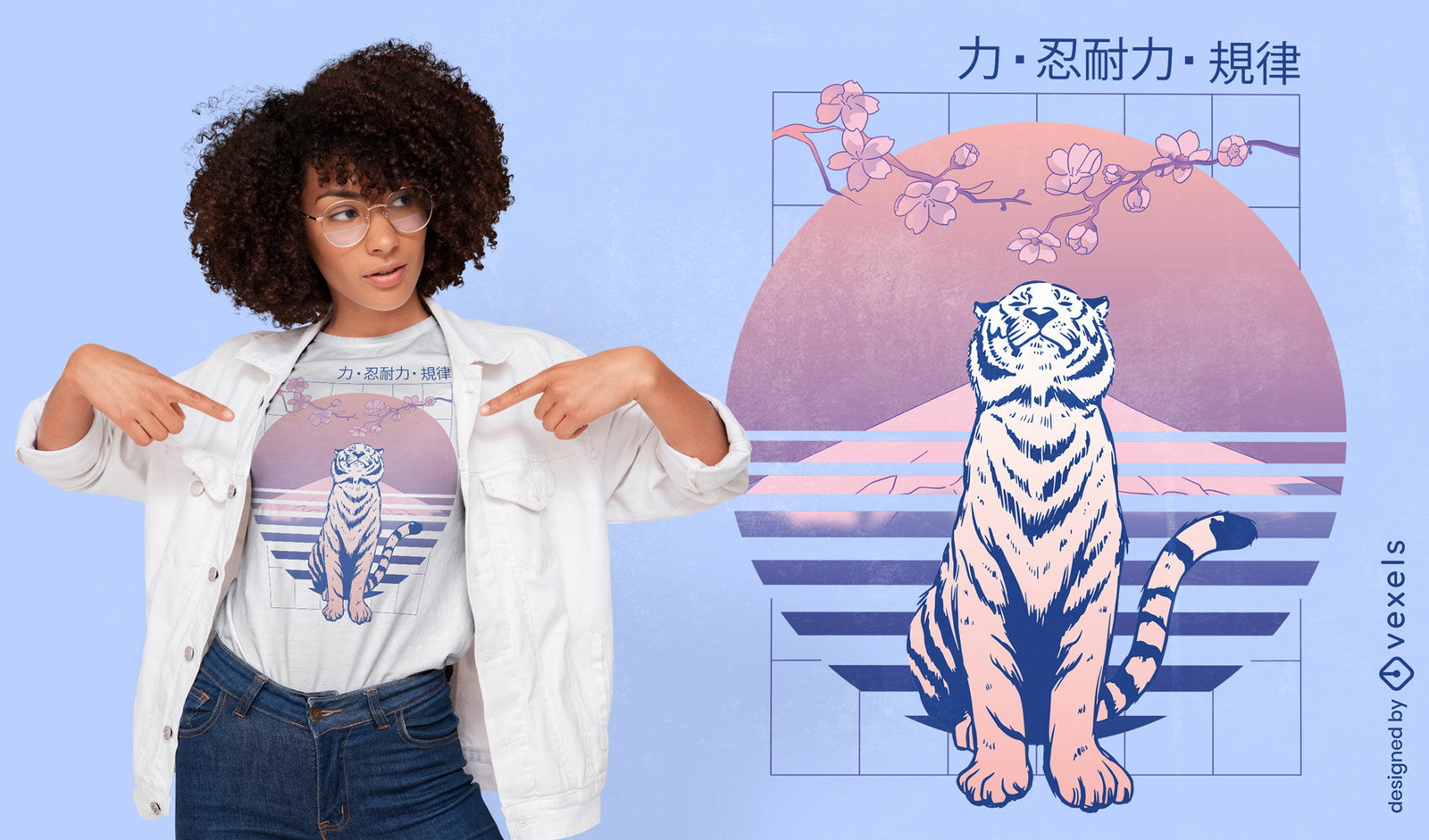
Tigre japonês olhando para cima design de t-shirt
Escolha uma pasta
Todos os favoritos
Criar novo
Salvar
Tigre japonês olhando para cima design de t-shirt
Pronto para imprimir
para Merch
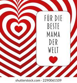
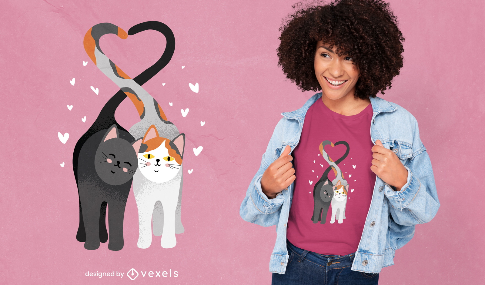
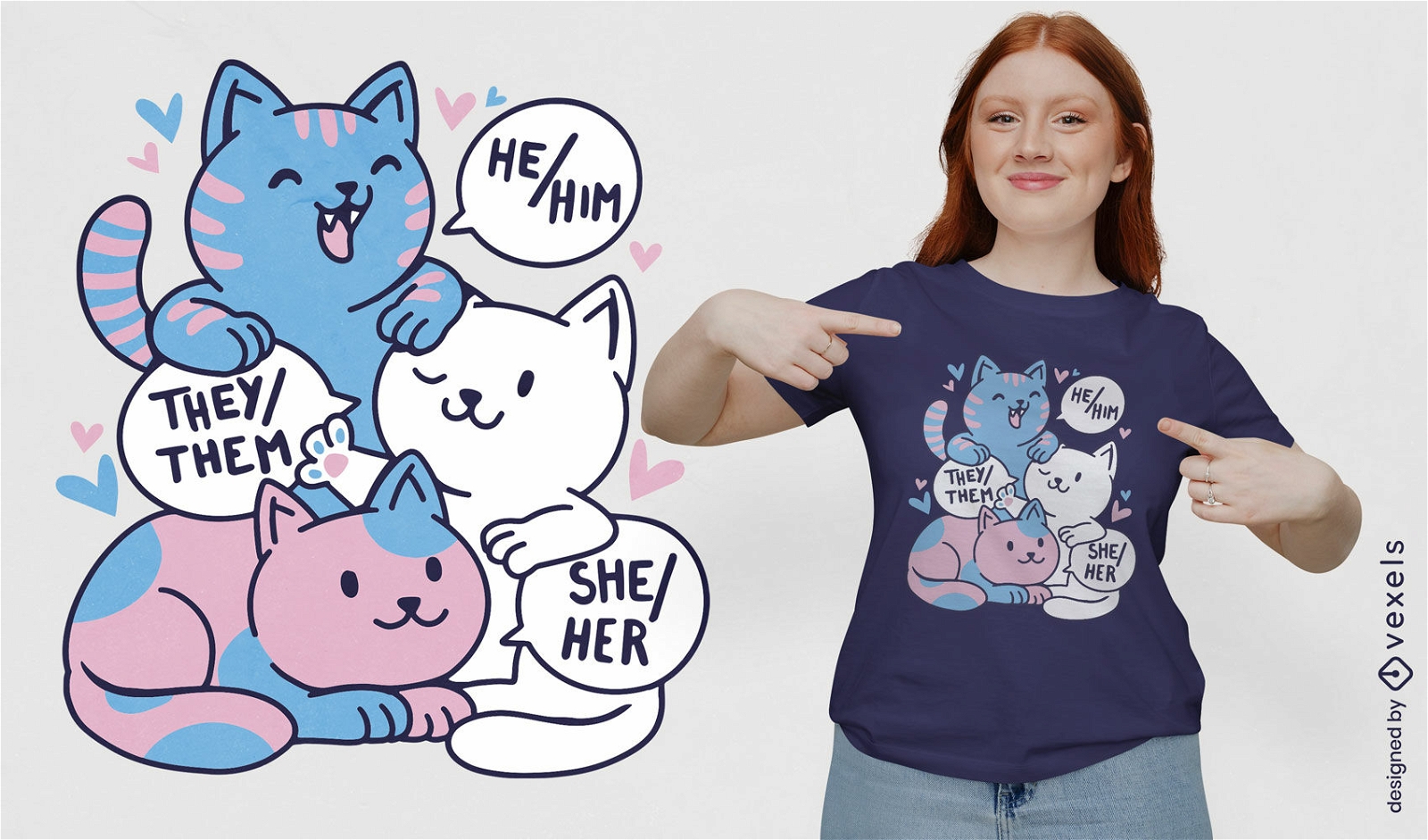
Gatos apaixonados design de t-shirt de corações
Escolha uma pasta
Todos os favoritos
Criar novo
Salvar
Gatos apaixonados design de t-shirt de corações
Pronto para imprimir
para Merch
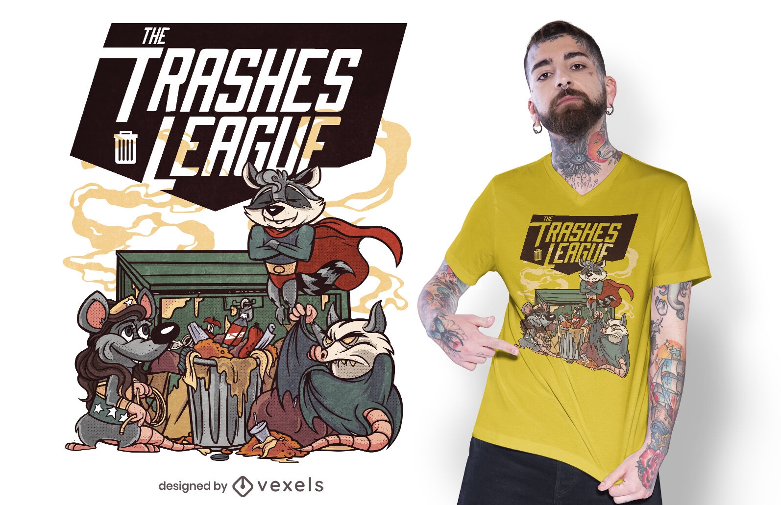
O design de camisetas da liga do lixo
Escolha uma pasta
Todos os favoritos
Criar novo
Salvar
O design de camisetas da liga do lixo
Pronto para imprimir
para Merch
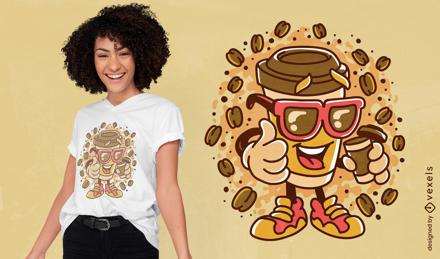
Design de camiseta feliz de xícara de café dos desenhos animados
Escolha uma pasta
Todos os favoritos
Criar novo
Salvar
Design de camiseta feliz de xícara de café dos desenhos animados
Pronto para imprimir
para Merch
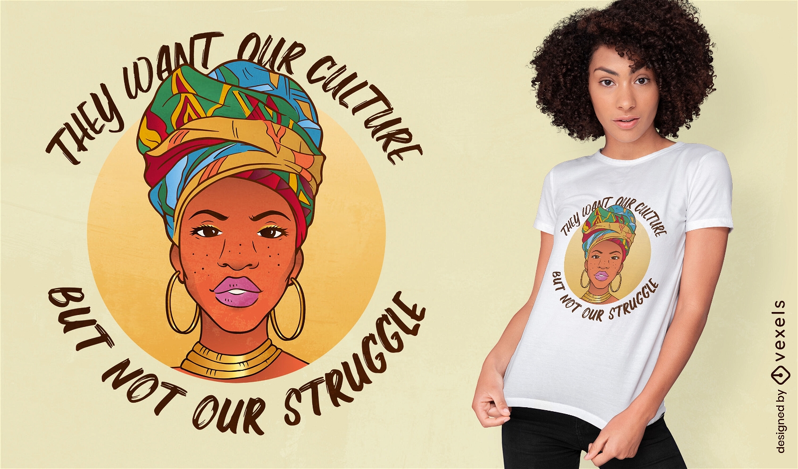
Design tradicional de camiseta de cultura de mulher negra
Escolha uma pasta
Todos os favoritos
Criar novo
Salvar
Design tradicional de camiseta de cultura de mulher negra
Pronto para imprimir
para Merch
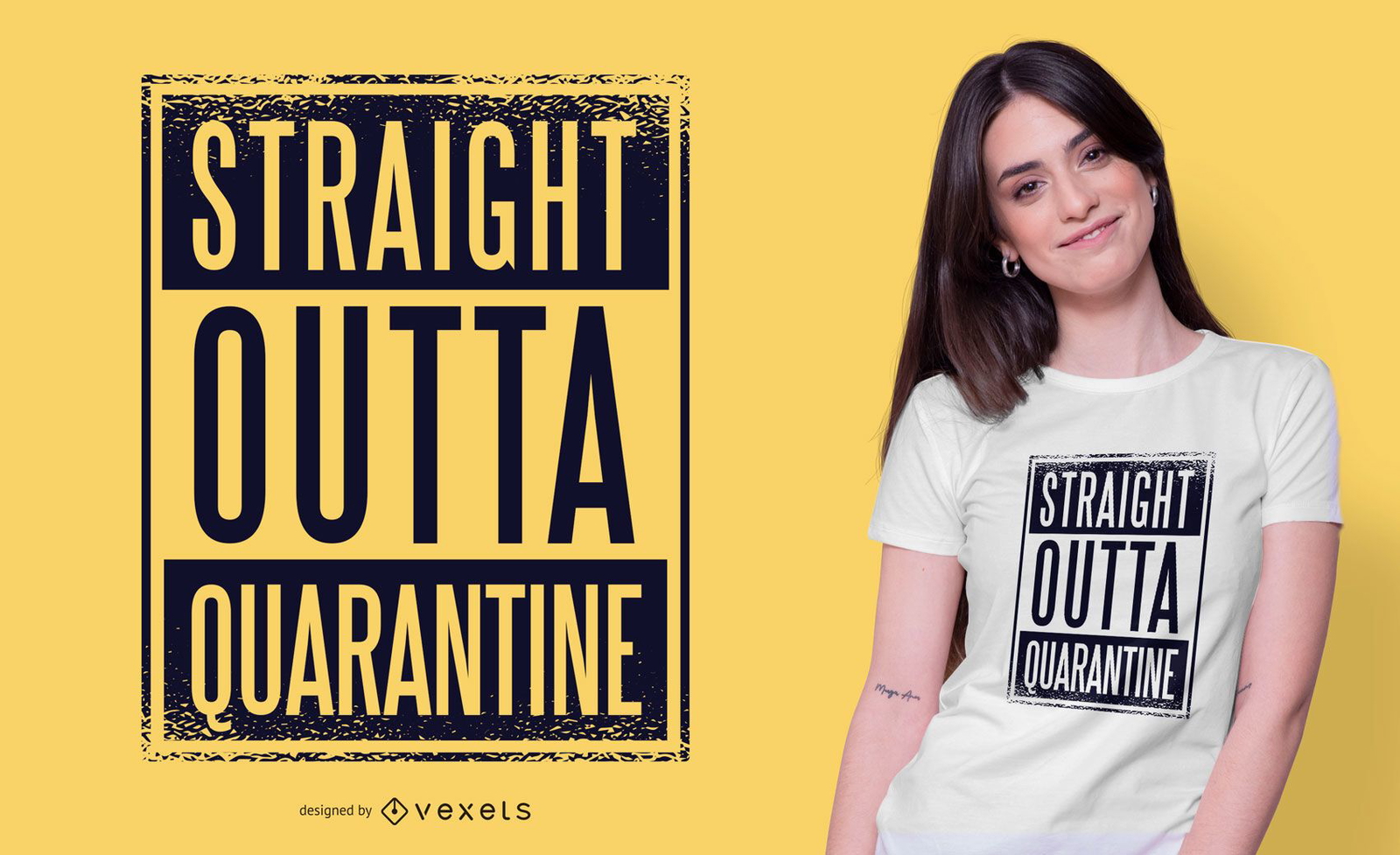
Design de camiseta de quarentena direto
Escolha uma pasta
Todos os favoritos
Criar novo
Salvar
Design de camiseta de quarentena direto
Pronto para imprimir
para Merch
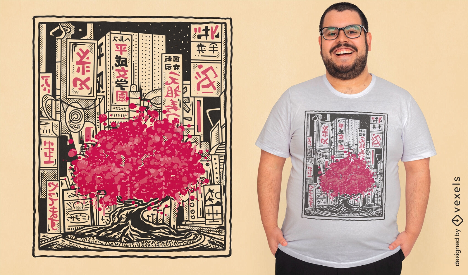
Design de camiseta rosa da Sakura Tree City
Escolha uma pasta
Todos os favoritos
Criar novo
Salvar
Design de camiseta rosa da Sakura Tree City
Pronto para imprimir
para Merch
Design de camiseta lgbt de animais de gato kawaii
Escolha uma pasta
Todos os favoritos
Criar novo
Salvar
Design de camiseta lgbt de animais de gato kawaii
Pronto para imprimir
para Merch
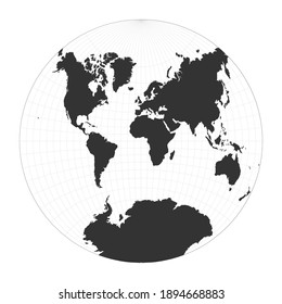
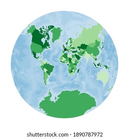
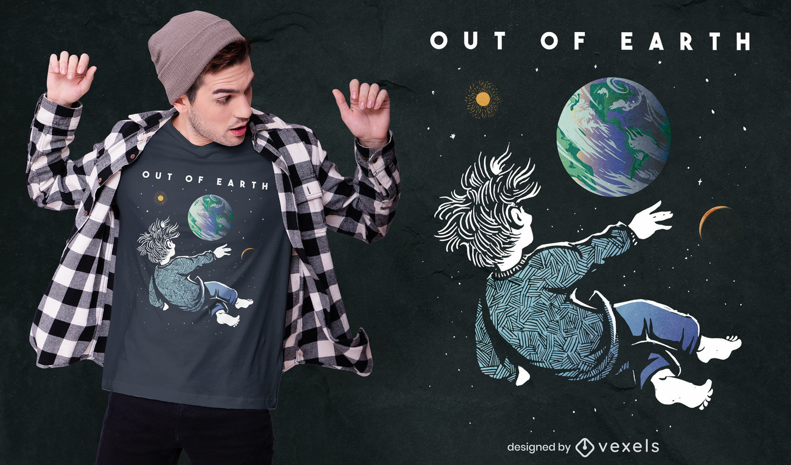
Observando a Terra do espaço, o design de camisetas
Escolha uma pasta
Todos os favoritos
Criar novo
Salvar
Observando a Terra do espaço, o design de camisetas
Pronto para imprimir
para Merch
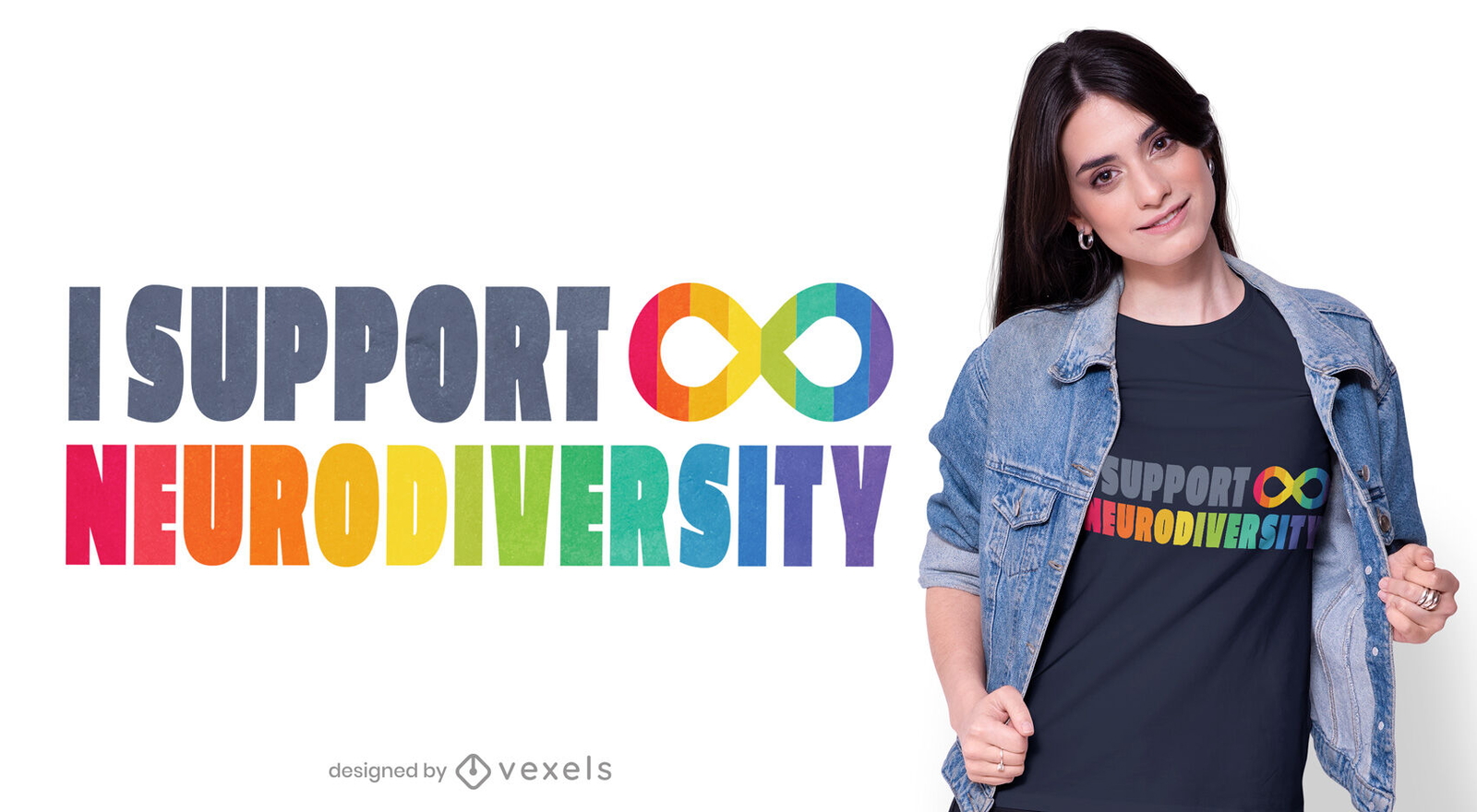
Design de t-shirt de apoio à neurodiversidade
Escolha uma pasta
Todos os favoritos
Criar novo
Salvar
Design de t-shirt de apoio à neurodiversidade
Pronto para imprimir
para Merch
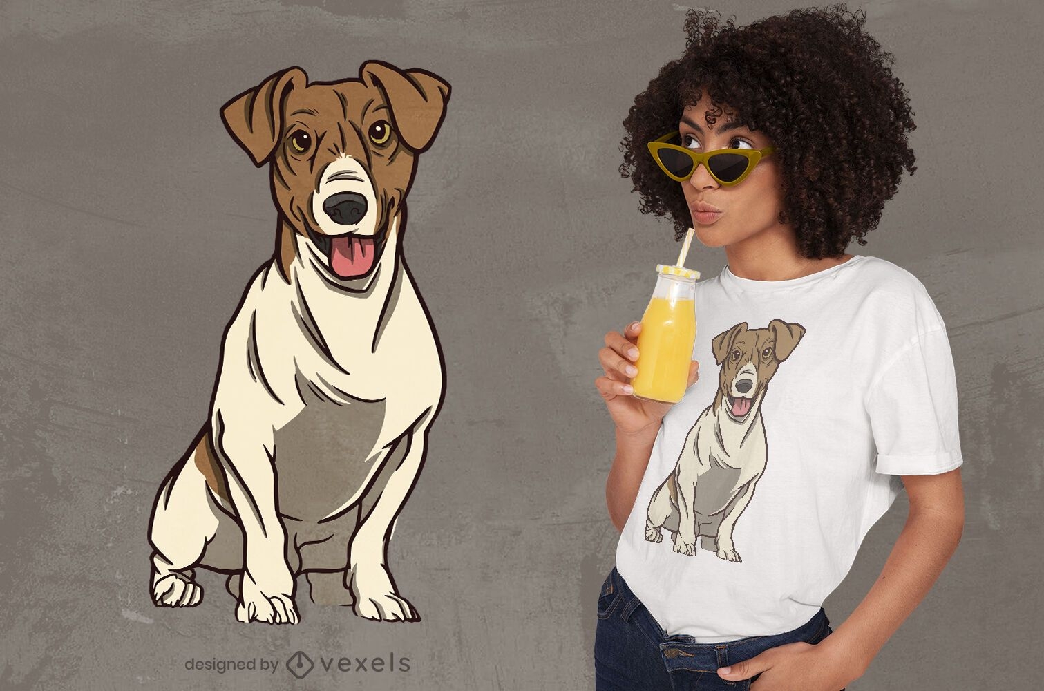
Design de t-shirt de cão fofo
Escolha uma pasta
Todos os favoritos
Criar novo
Salvar
Design de t-shirt de cão fofo
Pronto para imprimir
para Merch
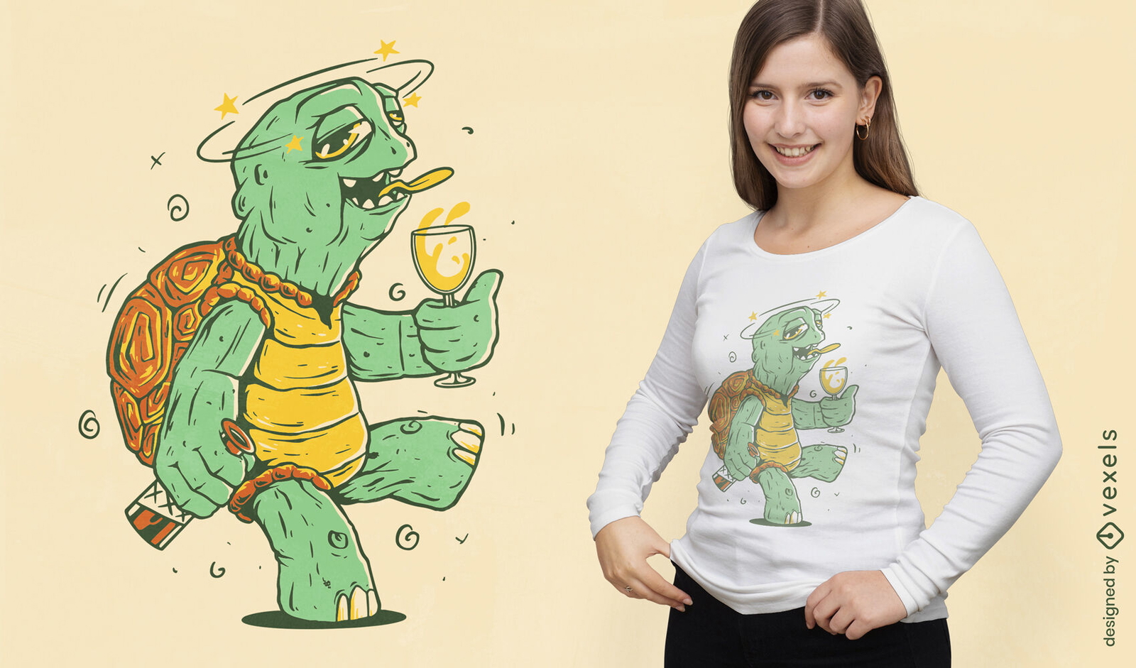
Design de camiseta de desenho animado de tartaruga bêbada
Escolha uma pasta
Todos os favoritos
Criar novo
Salvar
Design de camiseta de desenho animado de tartaruga bêbada
Pronto para imprimir
para Merch
Design de camiseta de cachorro dálmata do dia da independência
Escolha uma pasta
Todos os favoritos
Criar novo
Salvar
Design de camiseta de cachorro dálmata do dia da independência
Pronto para imprimir
para Merch
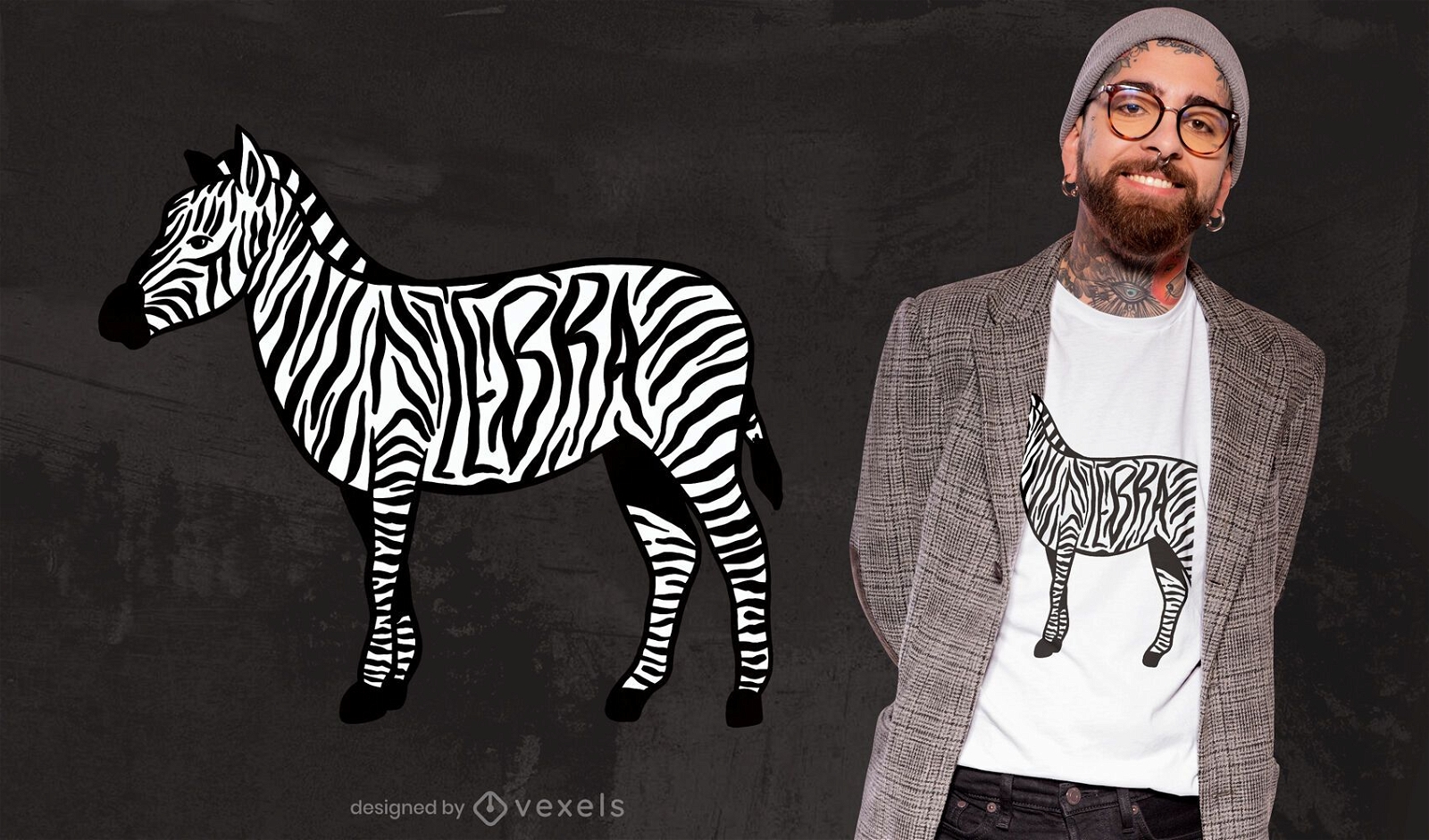
Design de t-shirt animal com listras de zebra
Escolha uma pasta
Todos os favoritos
Criar novo
Salvar
Design de t-shirt animal com listras de zebra
texto editável
Pronto para imprimir
para Merch
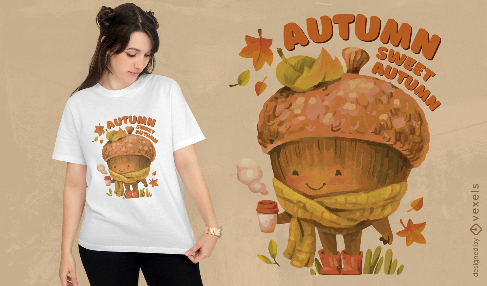
Design de camiseta aconchegante de bolota de outono doce
Escolha uma pasta
Todos os favoritos
Criar novo
Salvar
Design de camiseta aconchegante de bolota de outono doce
Pronto para imprimir
para Merch
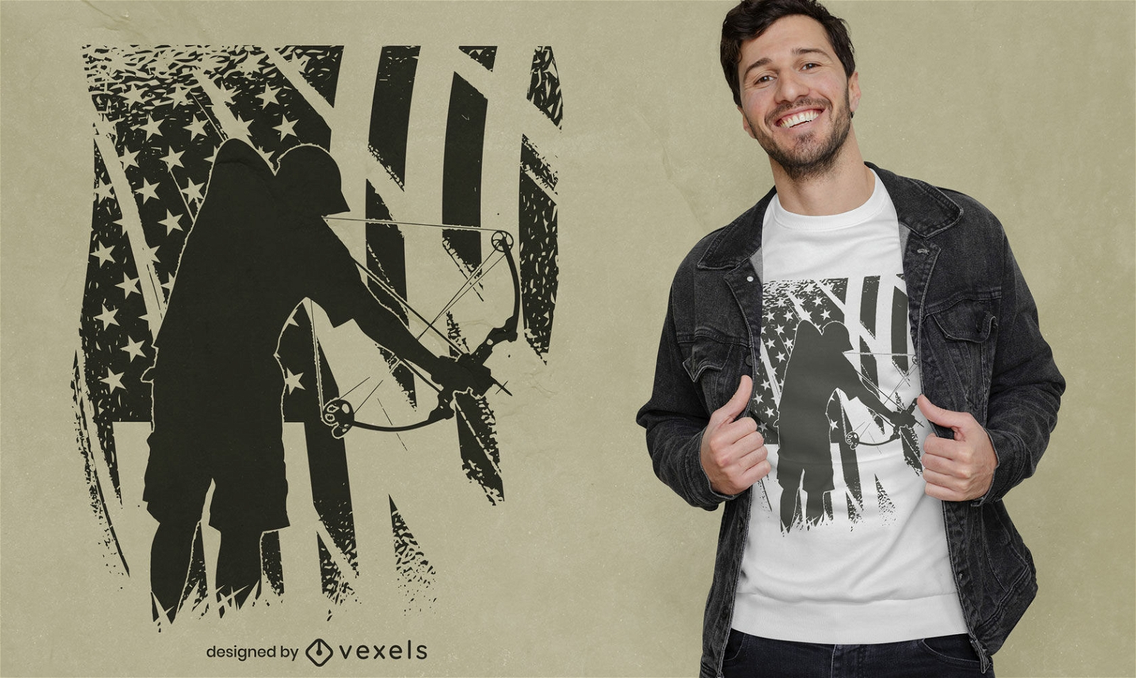
Passatempo de pesca com arco com design de t-shirt de bandeira americana
Escolha uma pasta
Todos os favoritos
Criar novo
Salvar
Passatempo de pesca com arco com design de t-shirt de bandeira americana
Pronto para imprimir
para Merch
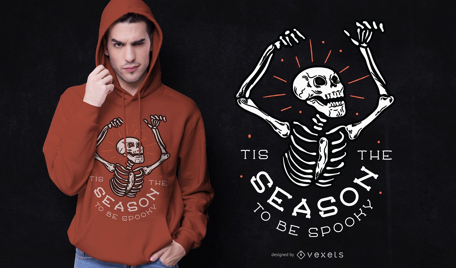
Design de t-shirt de halloween assustador na temporada
Escolha uma pasta
Todos os favoritos
Criar novo
Salvar
Design de t-shirt de halloween assustador na temporada
Pronto para imprimir
para Merch
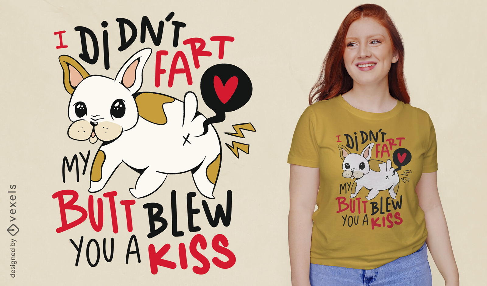
Design de camiseta de cachorro bulldog francês peido engraçado
Escolha uma pasta
Todos os favoritos
Criar novo
Salvar
Design de camiseta de cachorro bulldog francês peido engraçado
Pronto para imprimir
para Merch
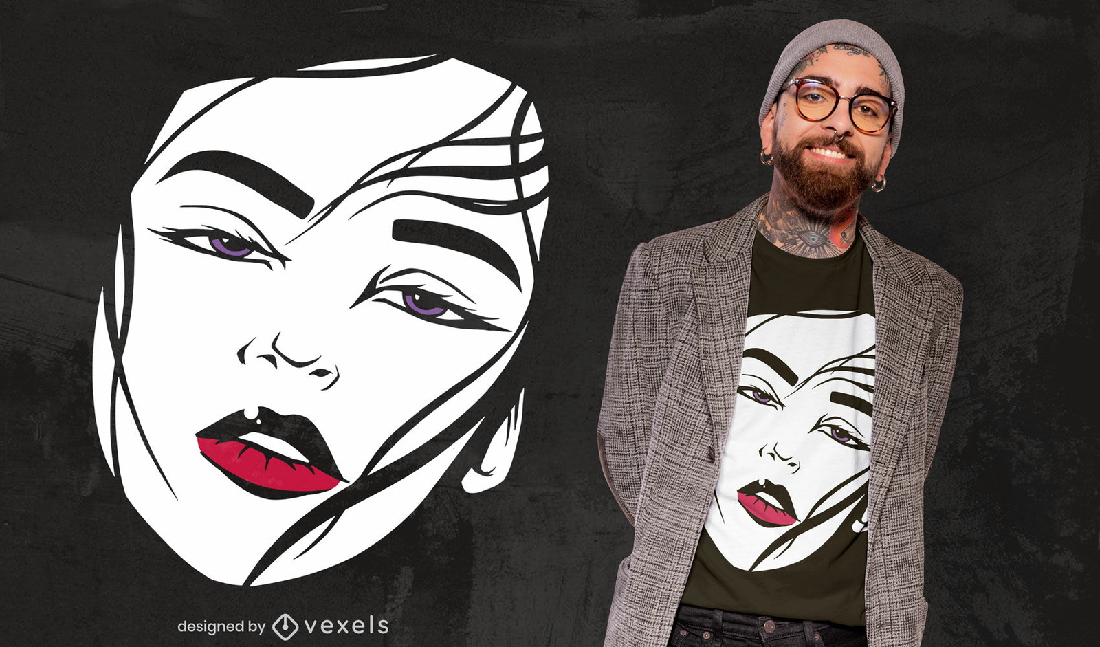
Design de t-shirt de lábios vermelhos de retrato de rosto de menina
Escolha uma pasta
Todos os favoritos
Criar novo
Salvar
Design de t-shirt de lábios vermelhos de retrato de rosto de menina
Pronto para imprimir
para Merch
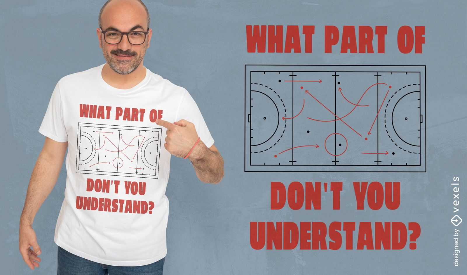
Design de camiseta engraçada de estratégia de hóquei
Escolha uma pasta
Todos os favoritos
Criar novo
Salvar
Design de camiseta engraçada de estratégia de hóquei
Pronto para imprimir
para Merch
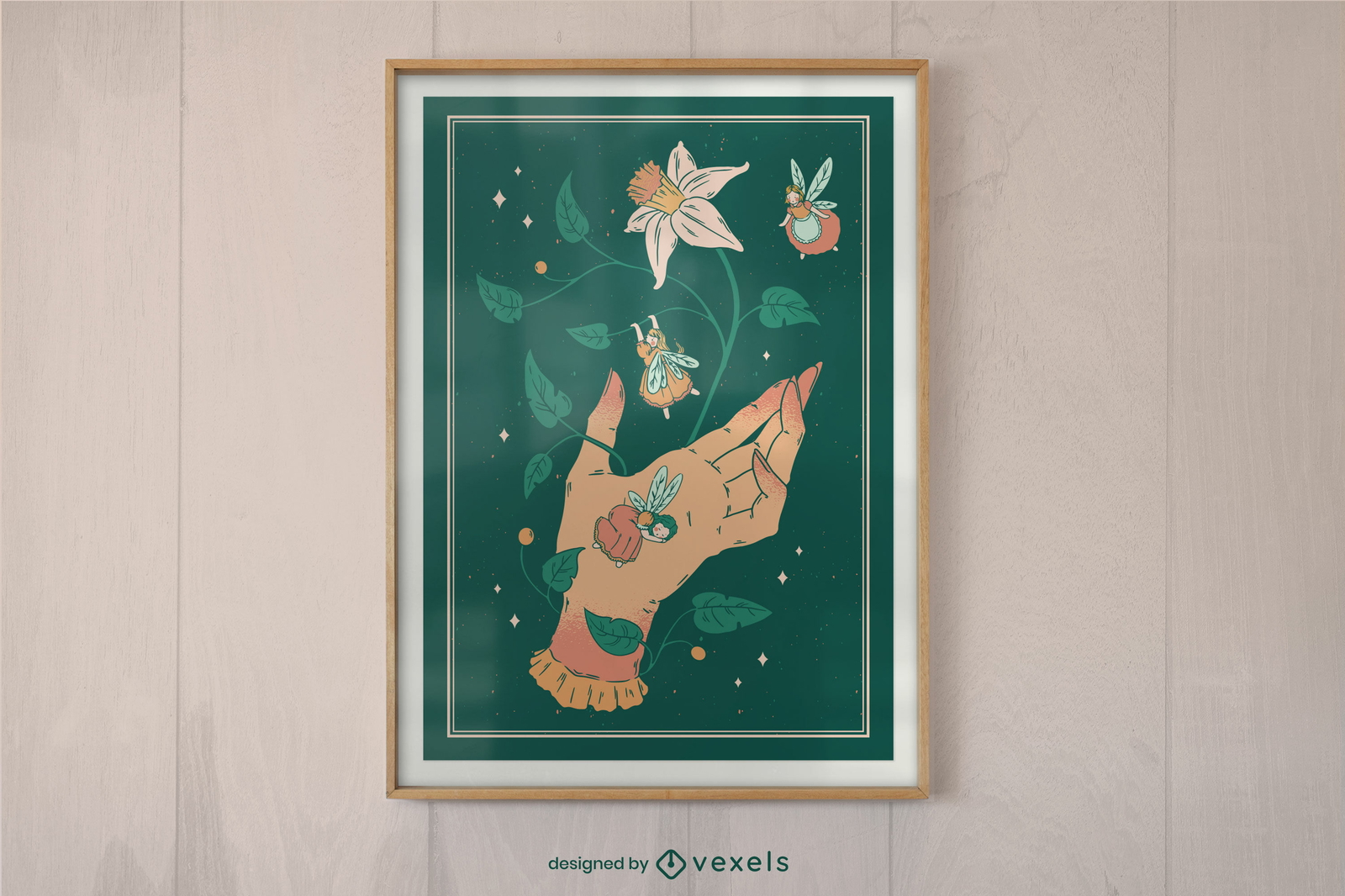
Mão com design de cartaz de pequenas fadas
Escolha uma pasta
Todos os favoritos
Criar novo
Salvar
Mão com design de cartaz de pequenas fadas
Pronto para imprimir
para Merch
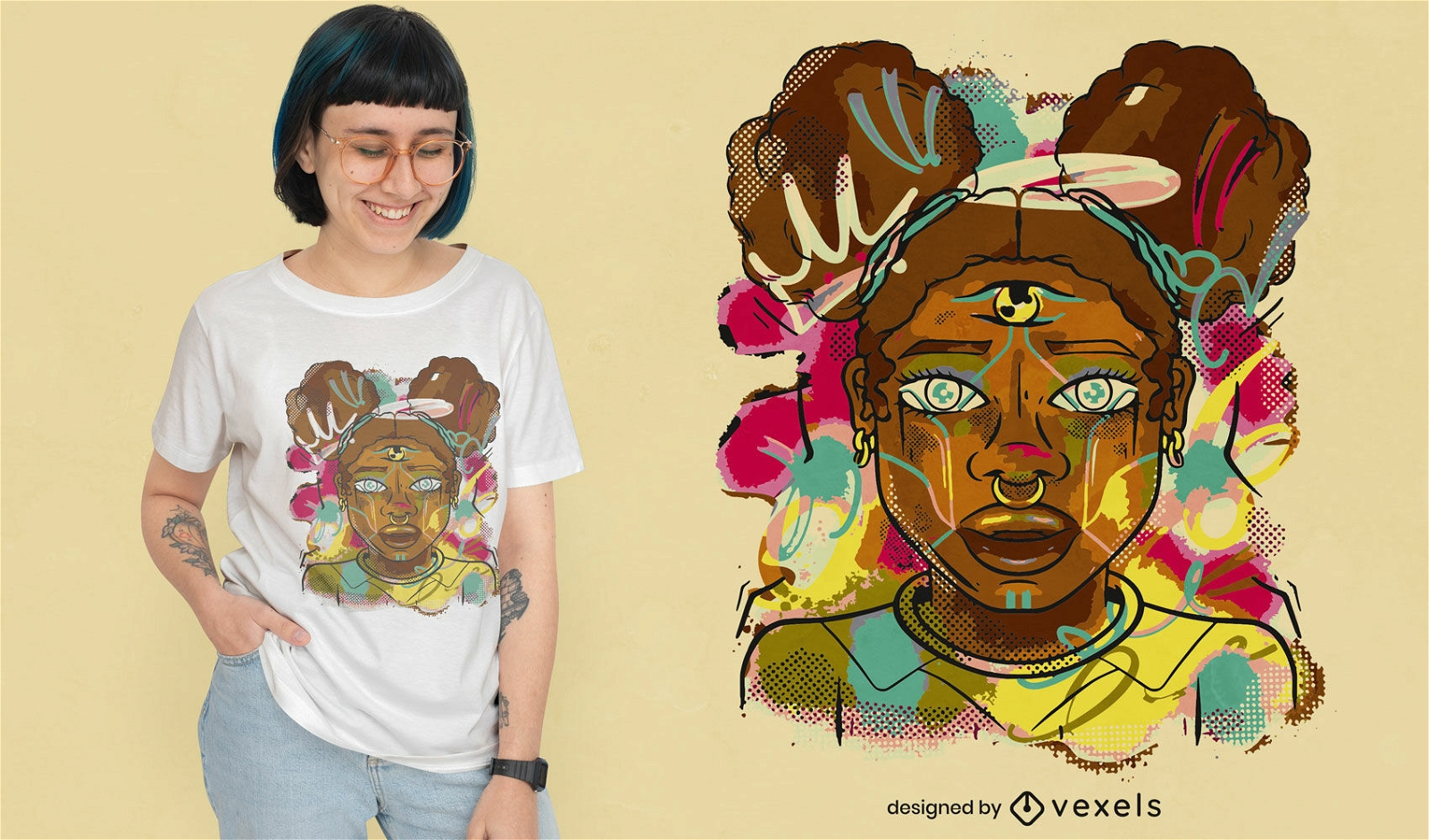
Design de camiseta em aquarela de mulher negra
Escolha uma pasta
Todos os favoritos
Criar novo
Salvar
Design de camiseta em aquarela de mulher negra
Pronto para imprimir
para Merch
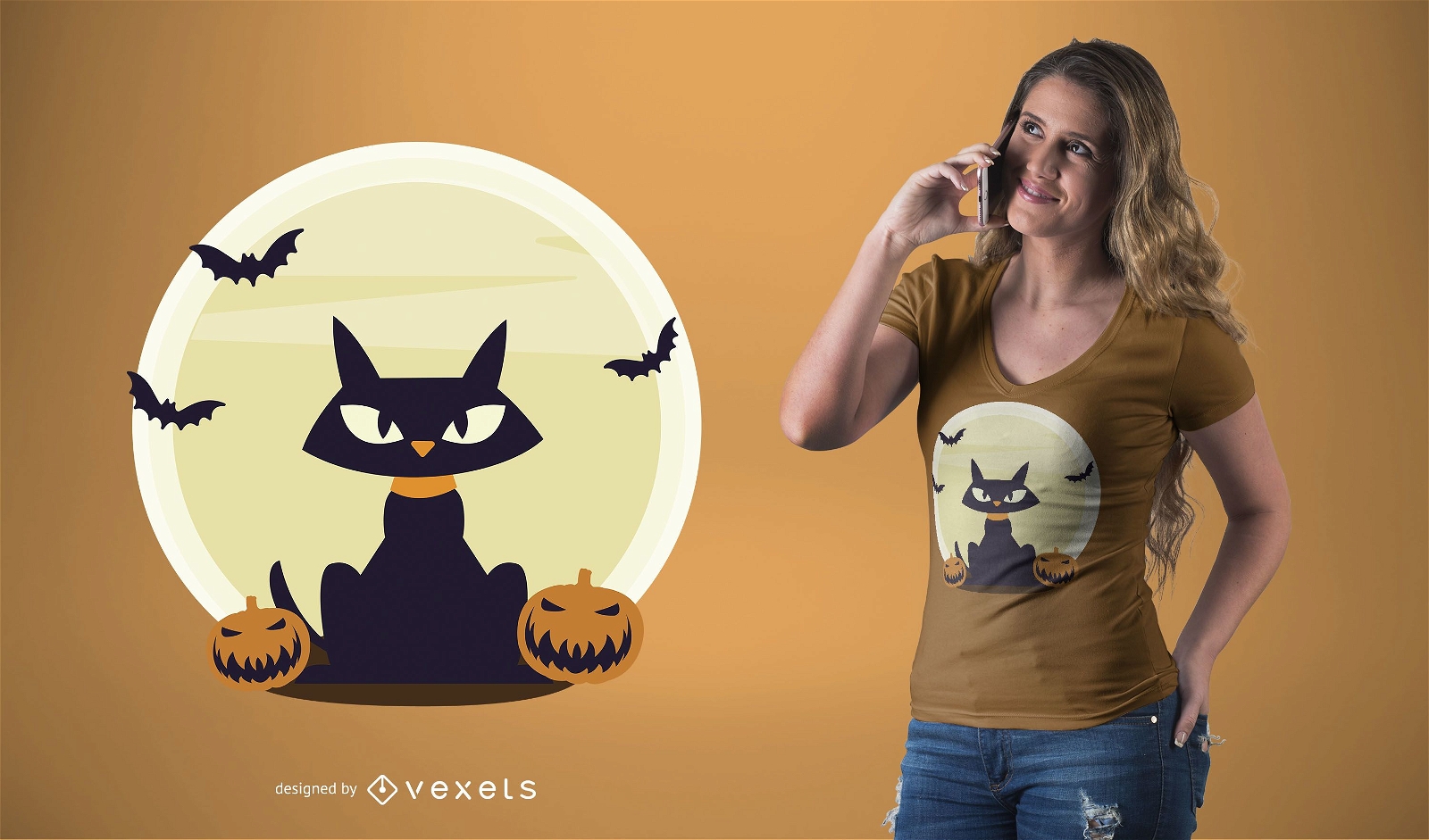
Design de camiseta de Halloween para gato preto
Escolha uma pasta
Todos os favoritos
Criar novo
Salvar
Design de camiseta de Halloween para gato preto
texto editável
Pronto para imprimir
para Merch
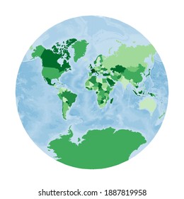
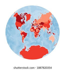
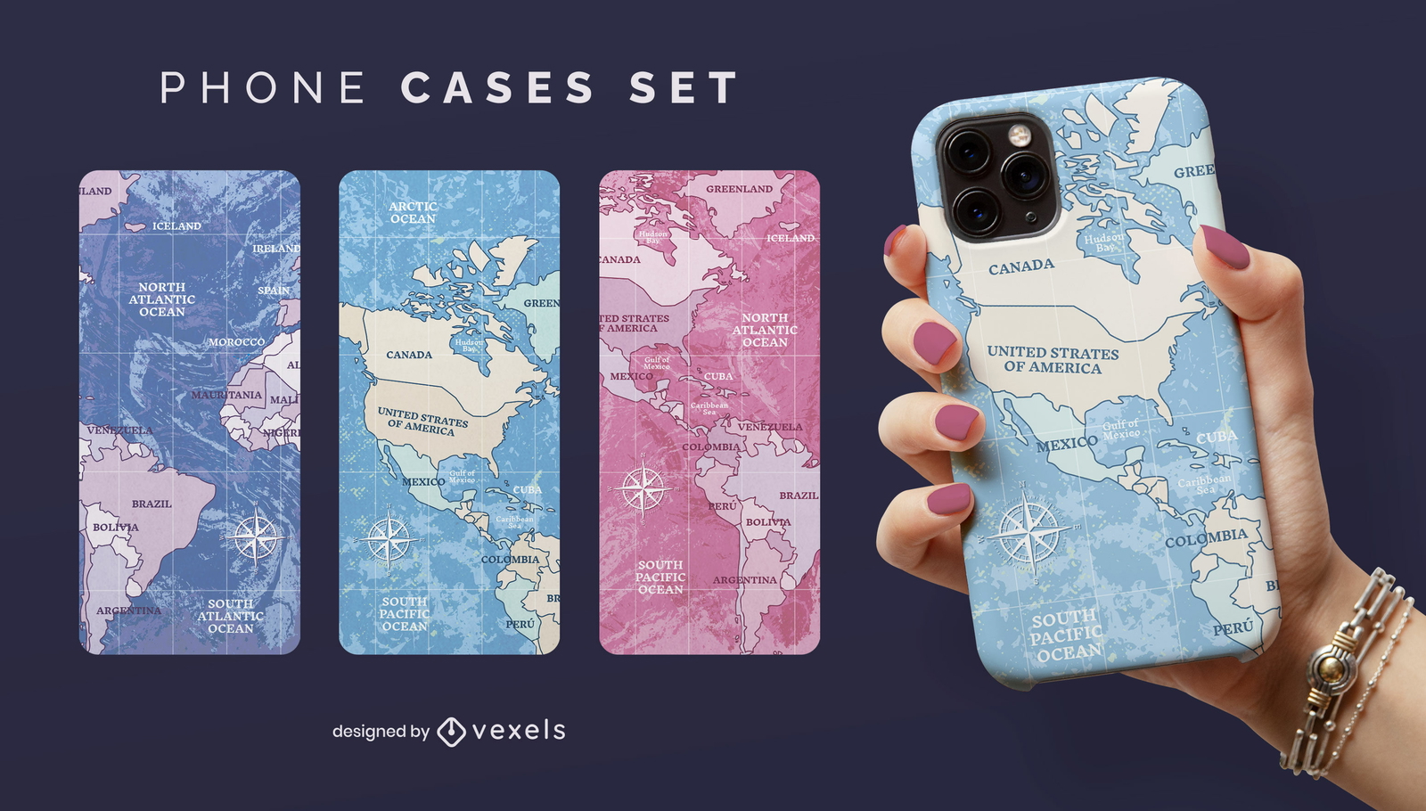
Conjunto de capa de telefone de viagem mapa-múndi
Escolha uma pasta
Todos os favoritos
Criar novo
Salvar
Conjunto de capa de telefone de viagem mapa-múndi
texto editável
Pronto para imprimir
para Merch
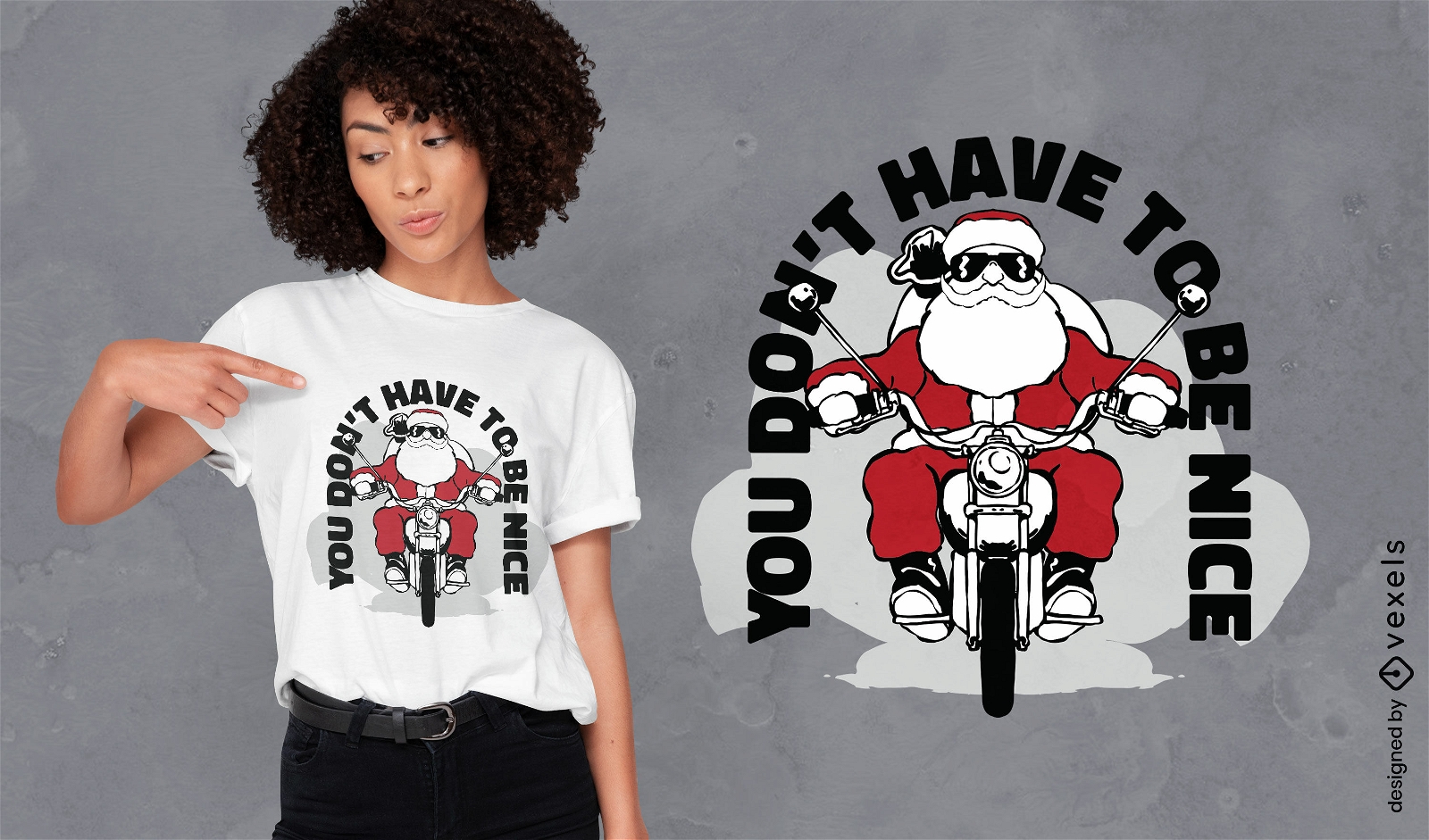
Design de camiseta de moto de papai noel
Escolha uma pasta
Todos os favoritos
Criar novo
Salvar
Design de camiseta de moto de papai noel
texto editável
Pronto para imprimir
para Merch
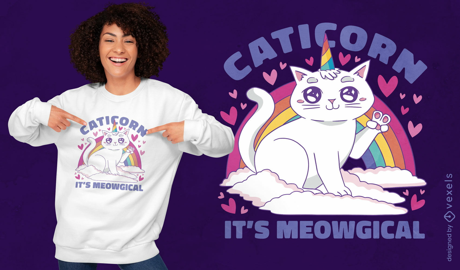
Design de camiseta mágica de gato unicórnio
Escolha uma pasta
Todos os favoritos
Criar novo
Salvar
Design de camiseta mágica de gato unicórnio
Pronto para imprimir
para Merch
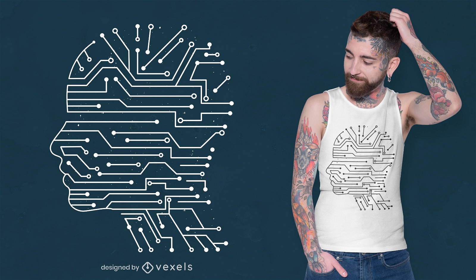
Design de camisetas de inteligência artificial
Escolha uma pasta
Todos os favoritos
Criar novo
Salvar
Design de camisetas de inteligência artificial
para Merch
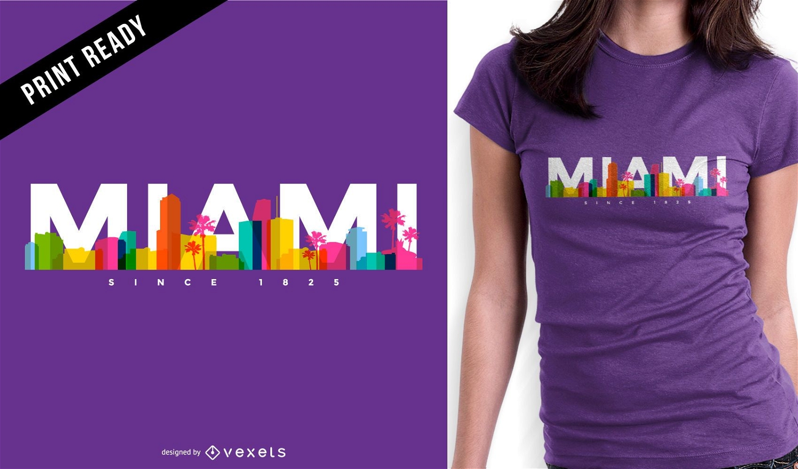
Design de camiseta do horizonte de Miami
Escolha uma pasta
Todos os favoritos
Criar novo
Salvar
Design de camiseta do horizonte de Miami
Pronto para imprimir
para Merch
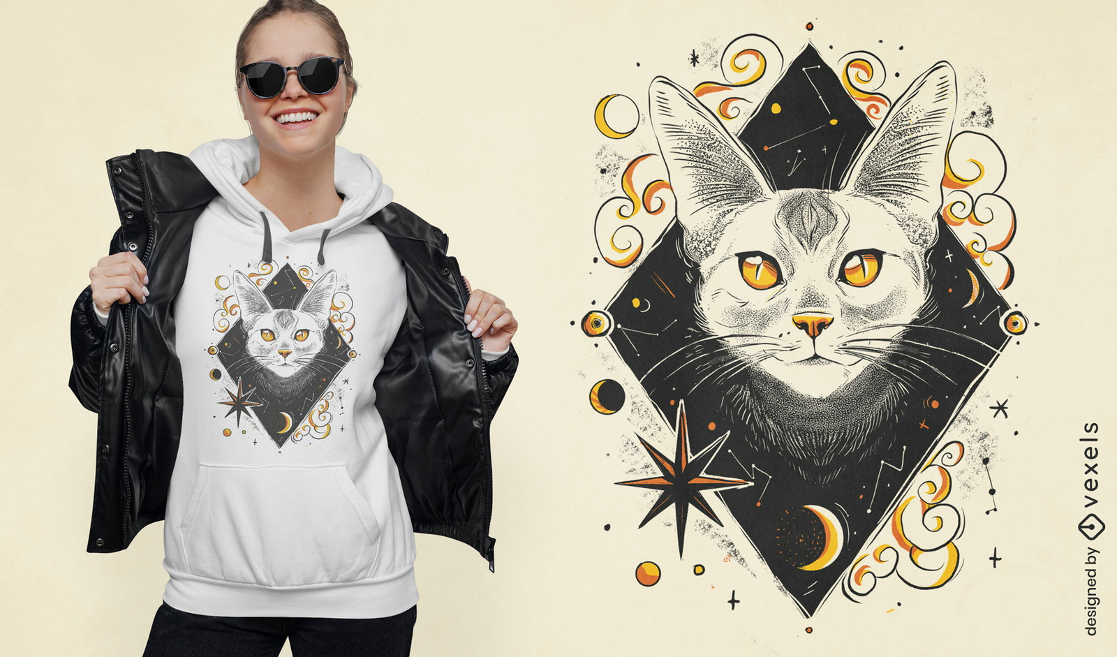
Design de camiseta de gato branco da noite cósmica
Escolha uma pasta
Todos os favoritos
Criar novo
Salvar
Design de camiseta de gato branco da noite cósmica
Pronto para imprimir
para Merch
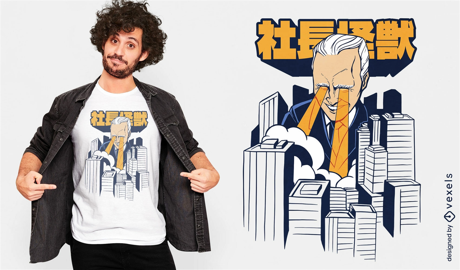
Design de camiseta da cidade de Kaiju Biden
Escolha uma pasta
Todos os favoritos
Criar novo
Salvar
Design de camiseta da cidade de Kaiju Biden
texto editável
Pronto para imprimir
para Merch
Design de camiseta animal gato branco bonito
Escolha uma pasta
Todos os favoritos
Criar novo
Salvar
Design de camiseta animal gato branco bonito
Pronto para imprimir
para Merch
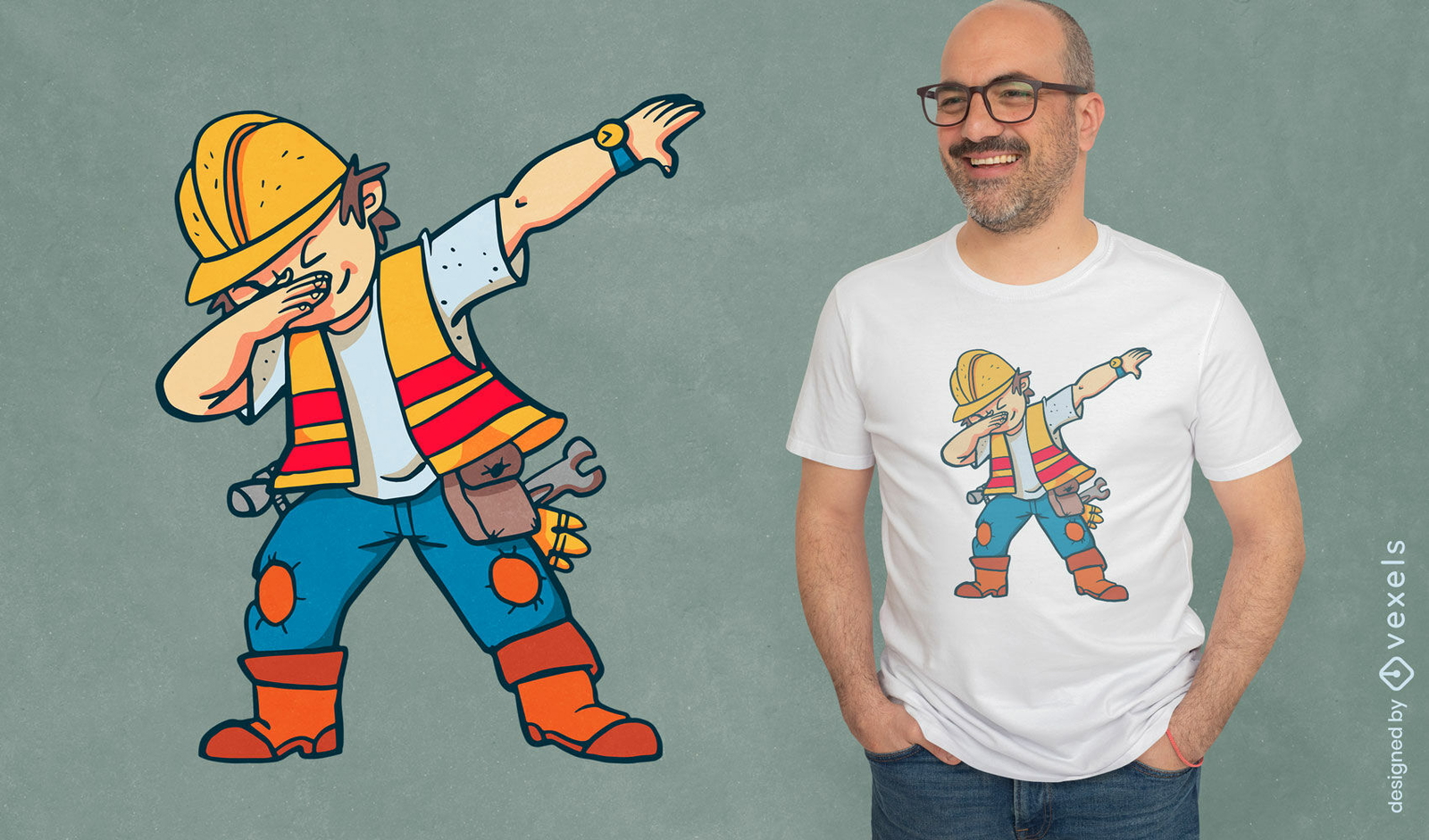
Trabalhador da construção civil esfregando design de camiseta
Escolha uma pasta
Todos os favoritos
Criar novo
Salvar
Trabalhador da construção civil esfregando design de camiseta
Pronto para imprimir
para Merch
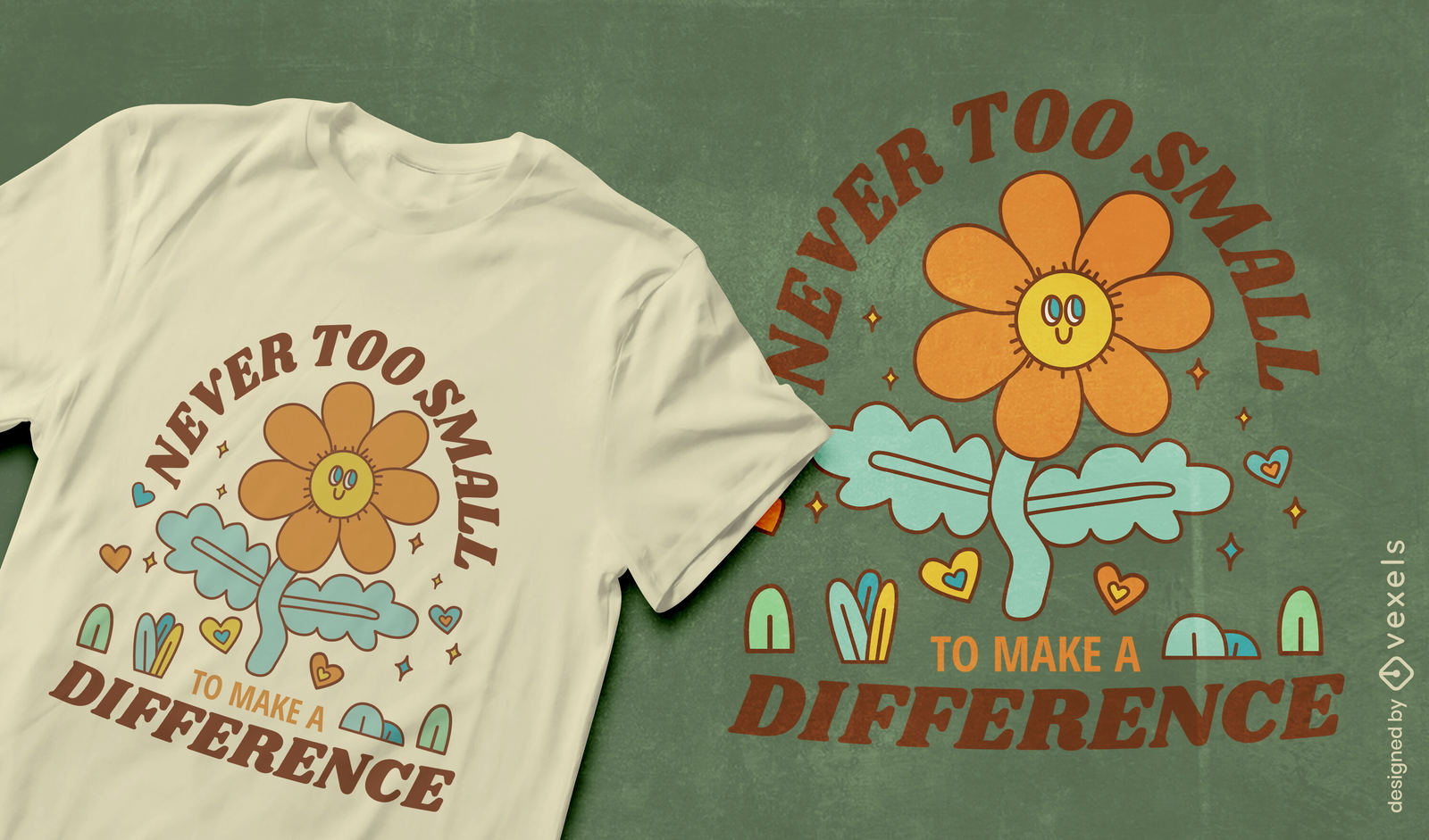
Faça a diferença design de camiseta do Dia da Terra
Escolha uma pasta
Todos os favoritos
Criar novo
Salvar
Faça a diferença design de camiseta do Dia da Terra
Pronto para imprimir
para Merch
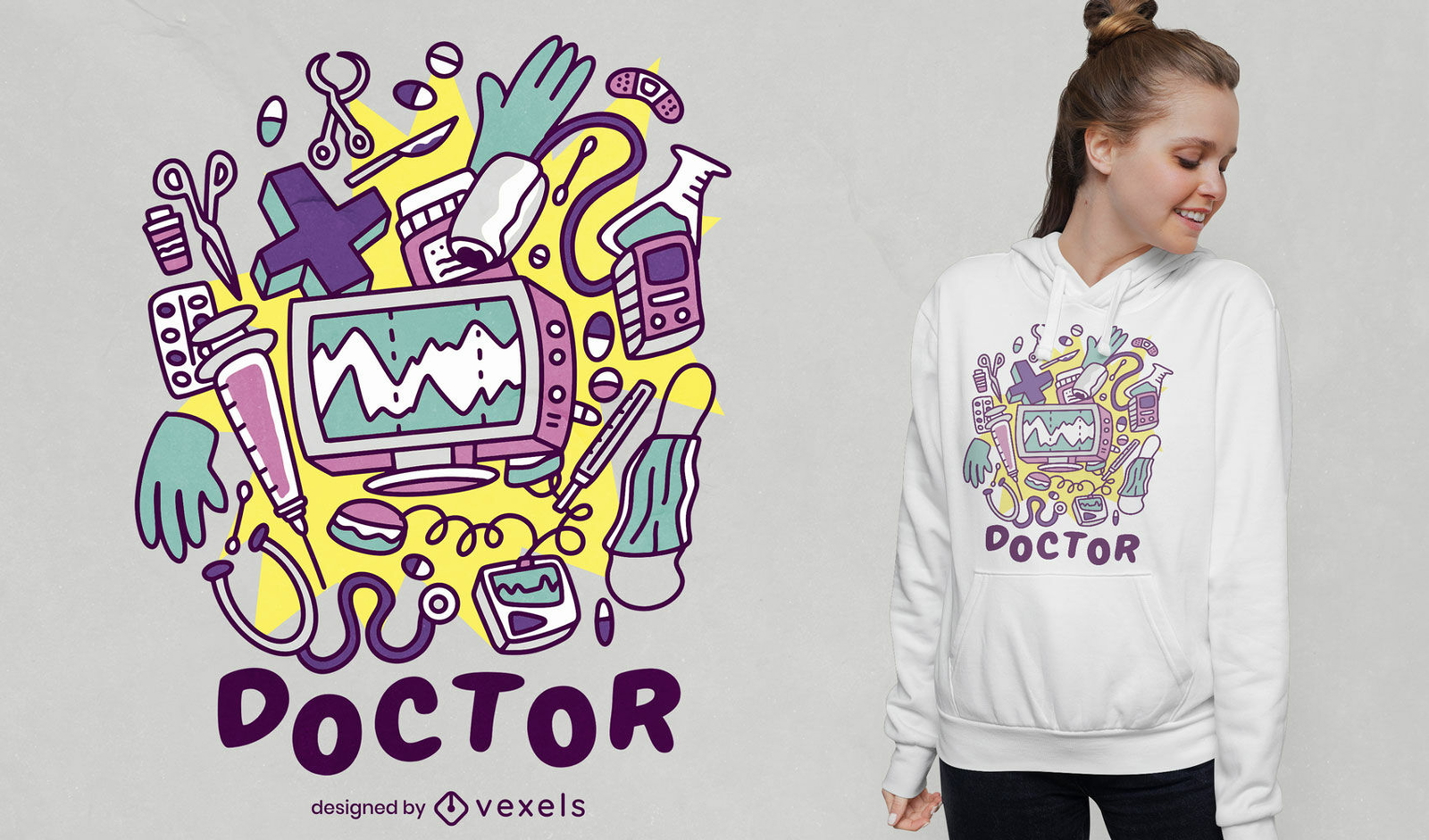
Design de camiseta de elementos de médico
Escolha uma pasta
Todos os favoritos
Criar novo
Salvar
Design de camiseta de elementos de médico
para Merch
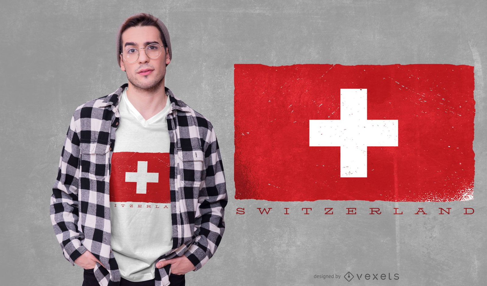
Design de camisetas da bandeira da Suíça
Escolha uma pasta
Todos os favoritos
Criar novo
Salvar
Design de camisetas da bandeira da Suíça
Pronto para imprimir
para Merch
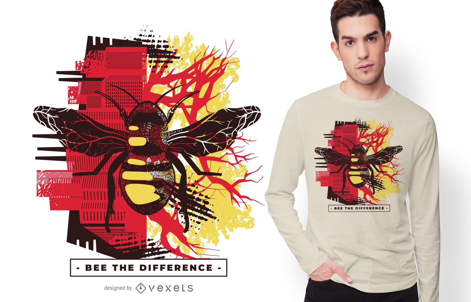
Design de camiseta de citação de abelha a diferença
Escolha uma pasta
Todos os favoritos
Criar novo
Salvar
Design de camiseta de citação de abelha a diferença
Pronto para imprimir
para Merch
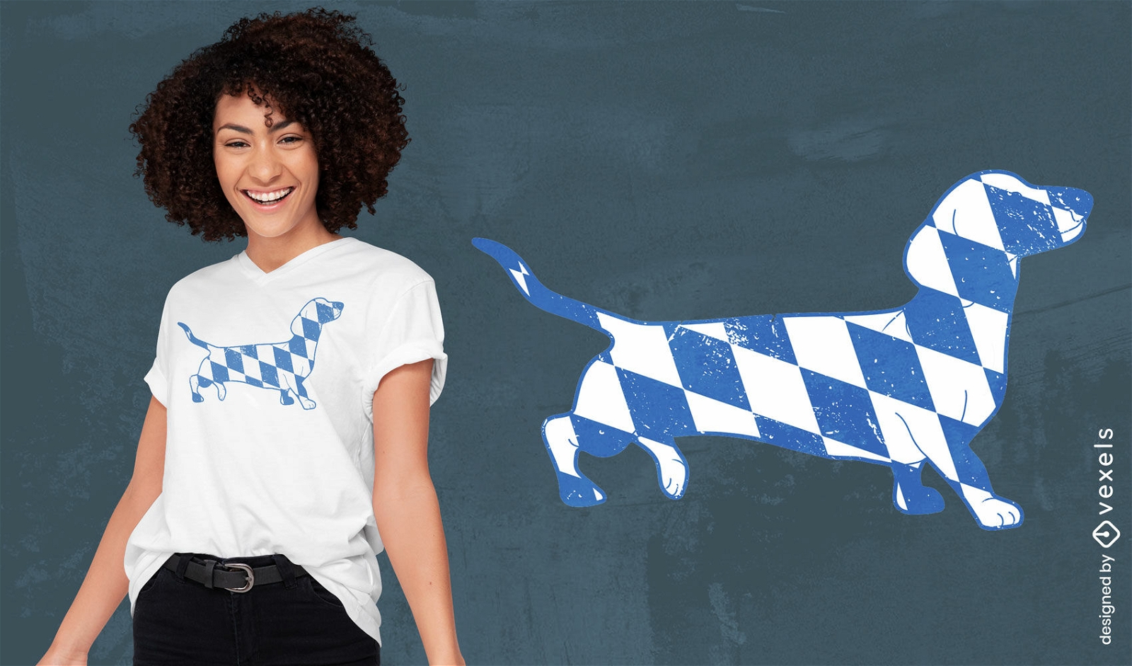
Design de camiseta de cachorro dachshund com bandeira da Baviera
Escolha uma pasta
Todos os favoritos
Criar novo
Salvar
Design de camiseta de cachorro dachshund com bandeira da Baviera
Pronto para imprimir
para Merch
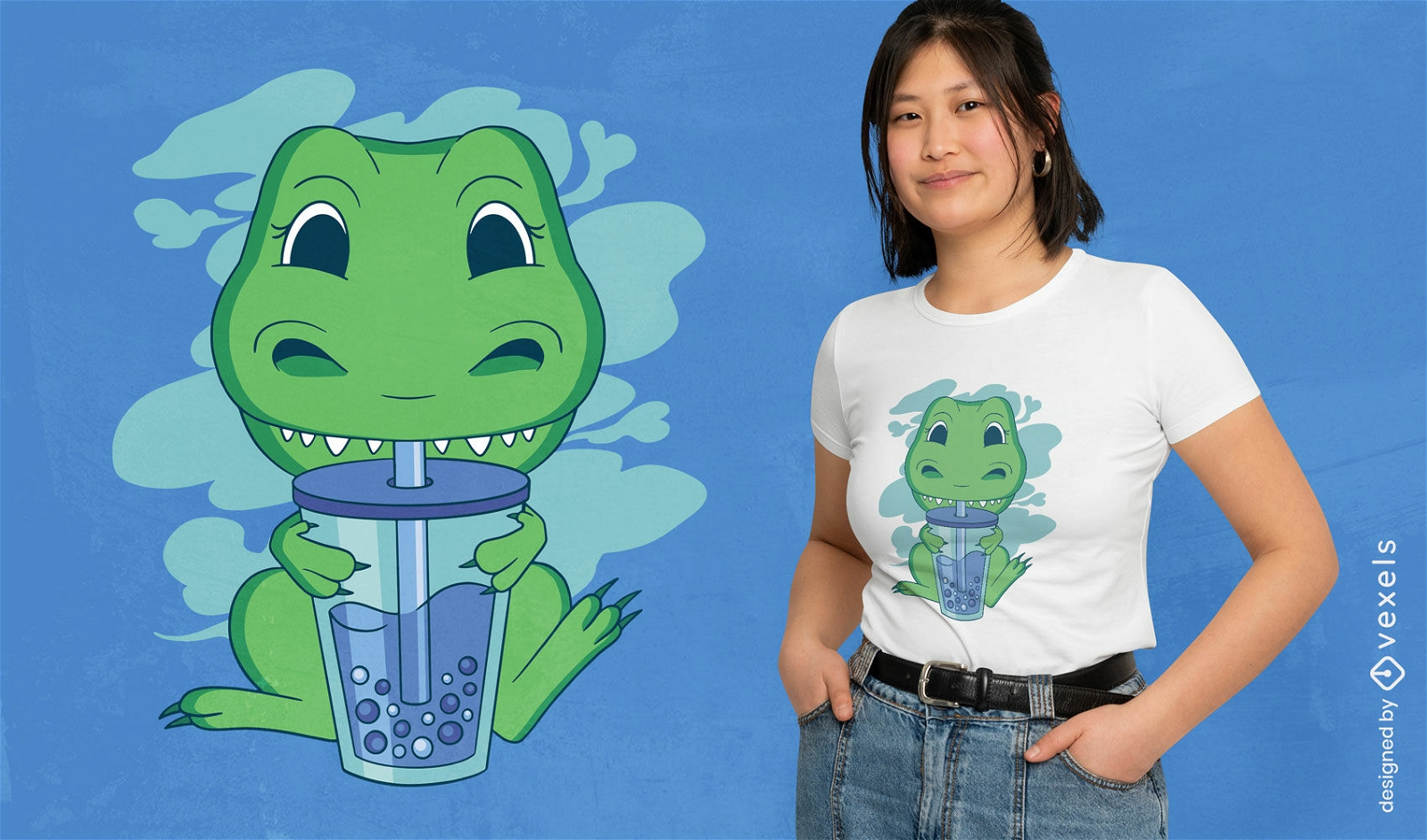
T-rex bonito bebendo design de camiseta de chá de bolha
Escolha uma pasta
Todos os favoritos
Criar novo
Salvar
T-rex bonito bebendo design de camiseta de chá de bolha
texto editável
Pronto para imprimir
para Merch
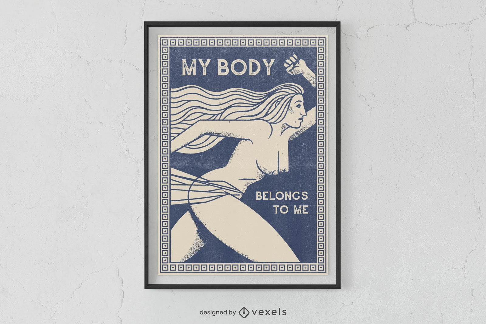
Design de cartaz de autonomia do corpo da mulher
Escolha uma pasta
Todos os favoritos
Criar novo
Salvar
Design de cartaz de autonomia do corpo da mulher
texto editável
Pronto para imprimir
para Merch
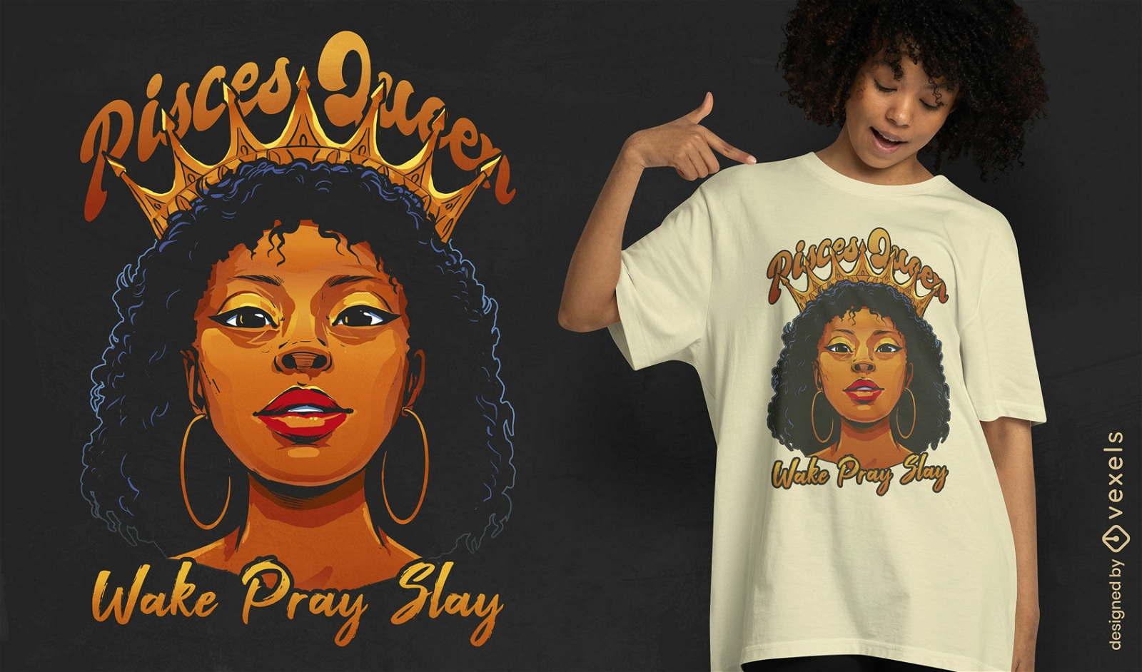
Design de camiseta de menina negra rainha de Peixes
Escolha uma pasta
Todos os favoritos
Criar novo
Salvar
Design de camiseta de menina negra rainha de Peixes
Pronto para imprimir
para Merch
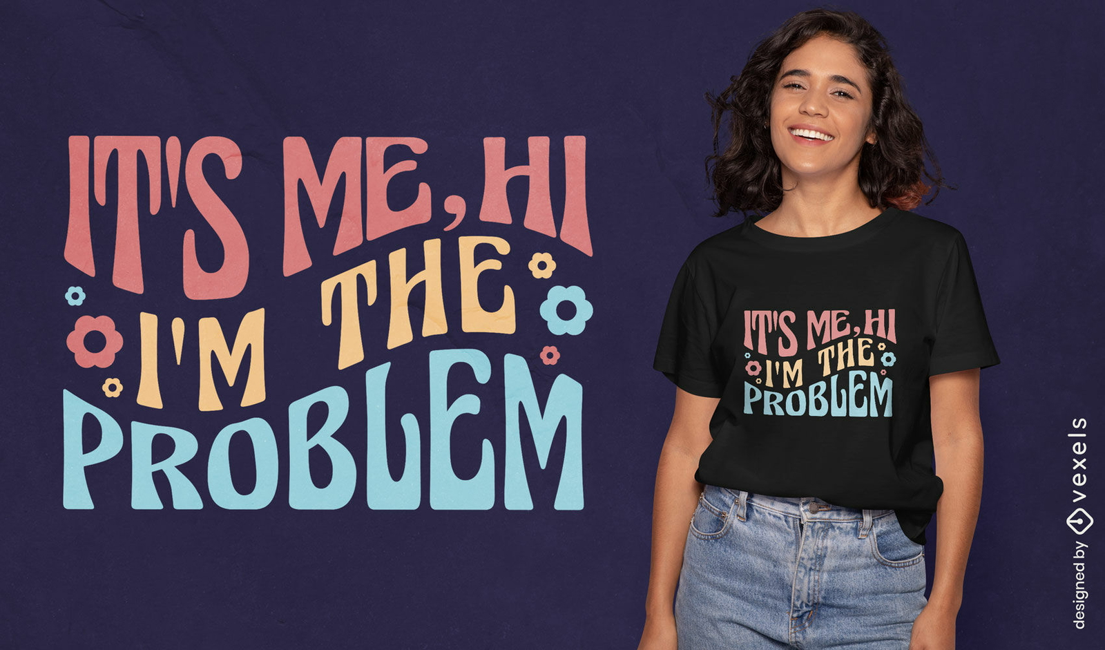
Eu sou o problema design de camiseta com citação groovy
Escolha uma pasta
Todos os favoritos
Criar novo
Salvar
Eu sou o problema design de camiseta com citação groovy
Pronto para imprimir
para Merch
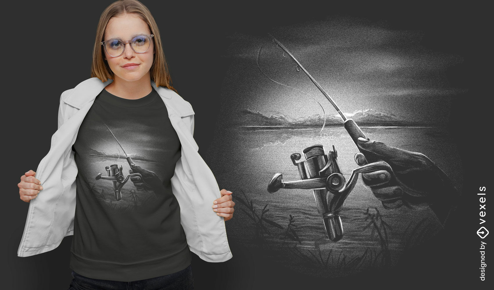
Mão de pesca com design de camiseta monocromática de carretel
Escolha uma pasta
Todos os favoritos
Criar novo
Salvar
Mão de pesca com design de camiseta monocromática de carretel
Pronto para imprimir
para Merch
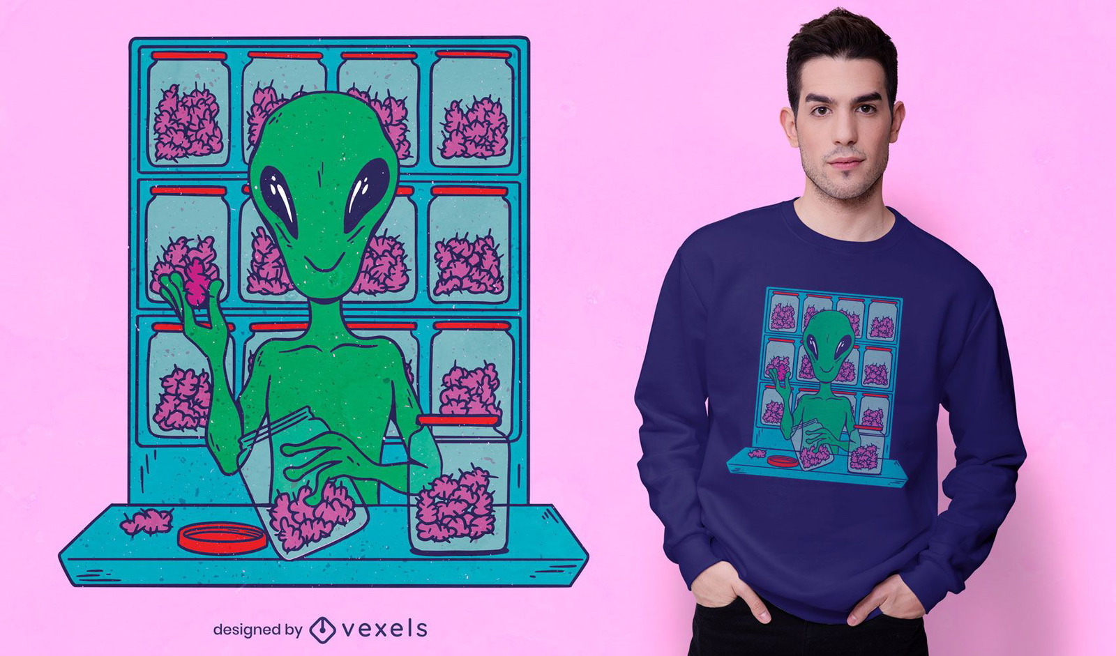
Espaço alienígena que vende design de camisetas com erva
Escolha uma pasta
Todos os favoritos
Criar novo
Salvar
Espaço alienígena que vende design de camisetas com erva
Pronto para imprimir
para Merch
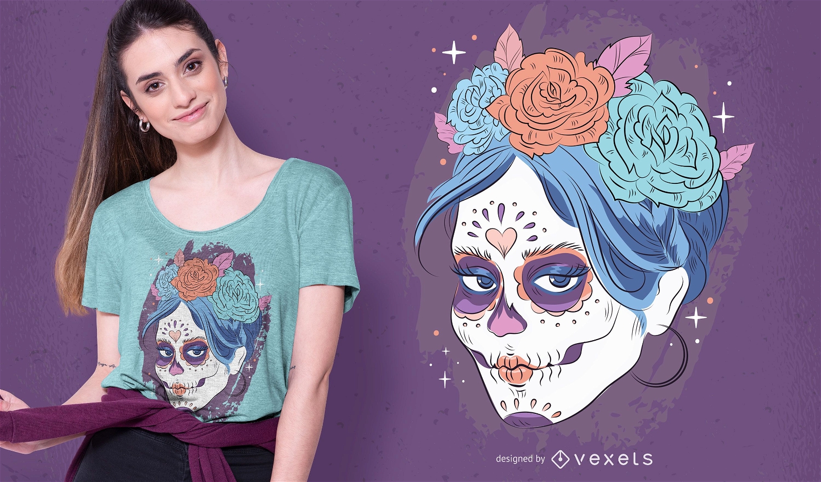
Design de camiseta com caveira Dia de los muertos
Escolha uma pasta
Todos os favoritos
Criar novo
Salvar
Design de camiseta com caveira Dia de los muertos
Pronto para imprimir
para Merch
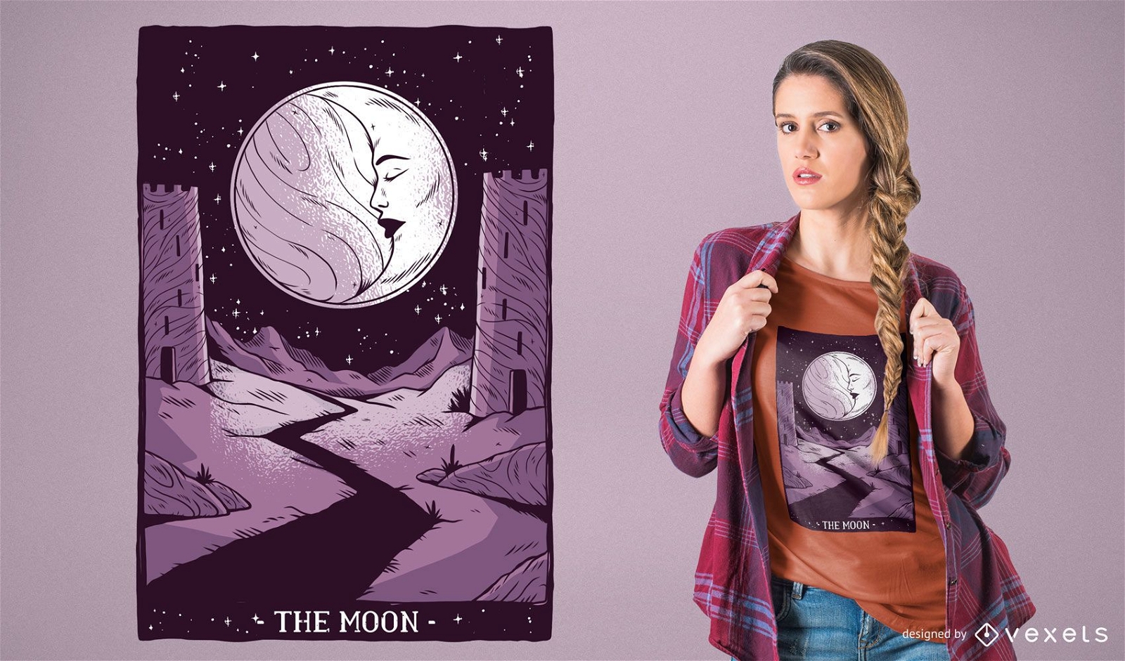
Design de t-shirt de cartas de tarô da lua
Escolha uma pasta
Todos os favoritos
Criar novo
Salvar
Design de t-shirt de cartas de tarô da lua
texto editável
Pronto para imprimir
para Merch
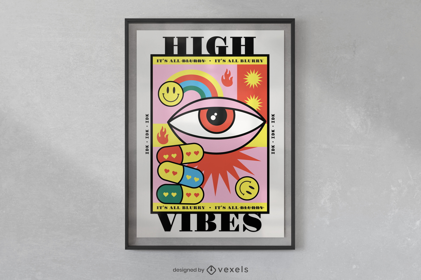
Design de cartaz engraçado de desenho animado de drogas
Escolha uma pasta
Todos os favoritos
Criar novo
Salvar
Design de cartaz engraçado de desenho animado de drogas
Pronto para imprimir
para Merch
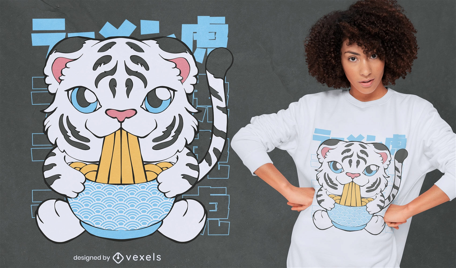
Tigre branco comendo design de camiseta de ramen
Escolha uma pasta
Todos os favoritos
Criar novo
Salvar
Tigre branco comendo design de camiseta de ramen
Pronto para imprimir
para Merch
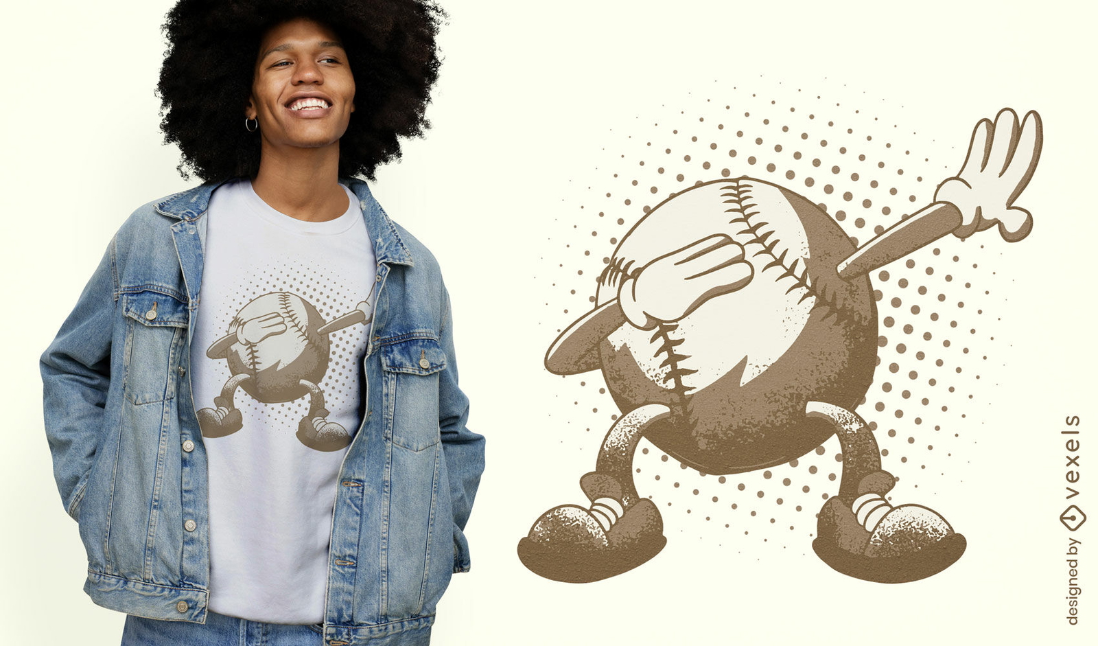
Design de camiseta engraçada de beisebol
Escolha uma pasta
Todos os favoritos
Criar novo
Salvar
Design de camiseta engraçada de beisebol
texto editável
Pronto para imprimir
para Merch
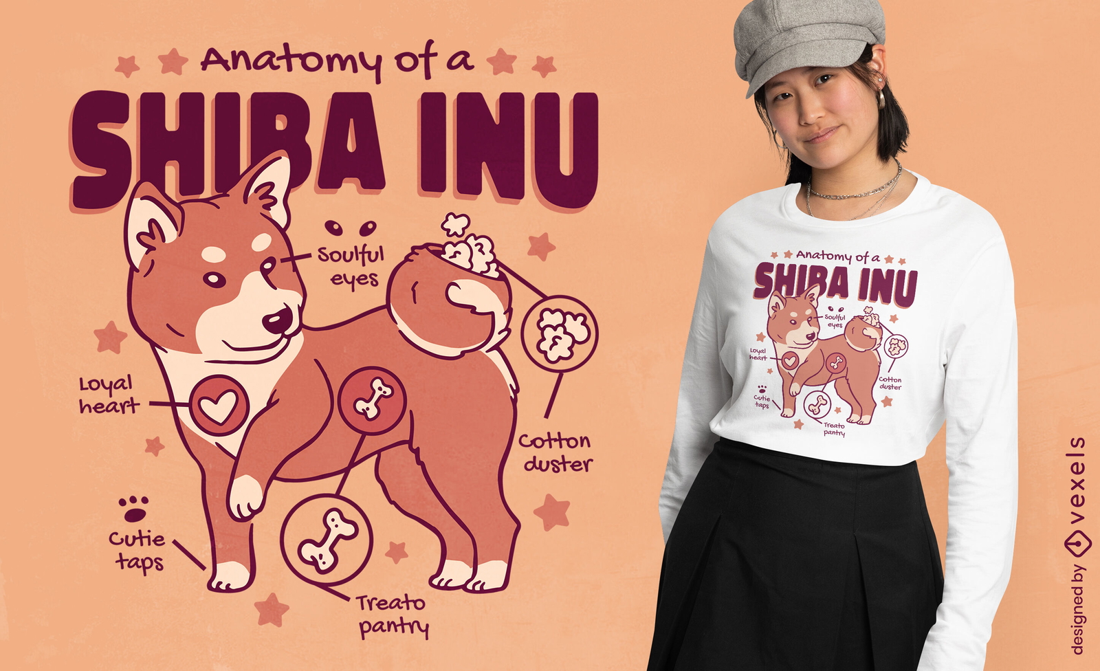
Design engraçado de camiseta de anatomia de panda vermelho
Escolha uma pasta
Todos os favoritos
Criar novo
Salvar
Design engraçado de camiseta de anatomia de panda vermelho
Pronto para imprimir
para Merch
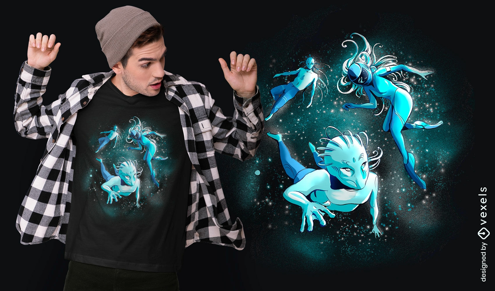
Alien flutuando no design de camiseta espacial
Escolha uma pasta
Todos os favoritos
Criar novo
Salvar
Alien flutuando no design de camiseta espacial
Impulsione seu negócio
Com a plataforma gráfica líder de mercado.
Ver planos
Próxima
do 433
prev page
next page