Biblioteca de design
Novos designs Merch
Camisetas
Vectores
Designs de Merch de Tendência
PNGs & SVGs
Mockups
Modelos de T-Shirt PSD
Explorar Desenhos
Designs KDP
Pôsteres
Canecas
Capas para celular
Sacos de compras
Almofadas
Ferramentas de desenho
Merch Designer
Novo!
Mockup Generator
Gerador de Design de AI
Vetorizador
Quote Generator
T-Shirt Maker (Antigo)
Ajuda
Merch Digest
Blog
Centro de Ajuda
Saiba mais sobre o Merch
Feedback
Soluções Corporativas
Empresa
Acesso à API
Estúdio de Design
Design em Lote
Preços
Carregando...
Inscrever-se
Conecte-se
Merch Vectors
guerrero
Biblioteca de design
Novos designs Merch
Camisetas
Vectores
Designs de Merch de Tendência
PNGs & SVGs
Mockups
Modelos de T-Shirt PSD
Explorar Desenhos
Designs KDP
Pôsteres
Canecas
Capas para celular
Sacos de compras
Almofadas
Ferramentas de desenho
Merch Designer
Novo!
Mockup Generator
Gerador de Design de AI
Vetorizador
Quote Generator
T-Shirt Maker (Antigo)
Ajuda
Merch Digest
Blog
Centro de Ajuda
Saiba mais sobre o Merch
Feedback
Soluções Corporativas
Empresa
Acesso à API
Estúdio de Design
Design em Lote
PLANOS
Merch Vectors
guerrero
369 Designs Vetoriais de guerrero para Camisetas e Merch
Baixar e comprar Designs Vetoriais AI de guerrero para Camisetas, Capas do Celular, Capas do Livros e outros produtos Merch
Ordenar por
Mais relevante
Resultados patrocinados da
Ganhe 15% de desconto com o código: VEXELS15
veja mais detalhes
Pronto para imprimir
para Merch
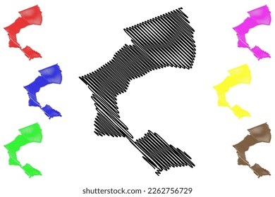
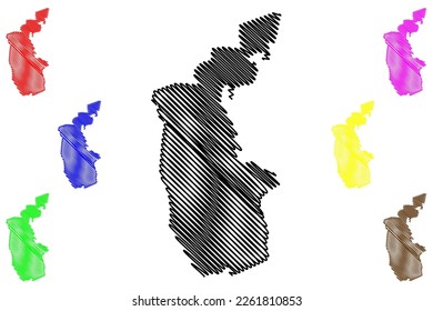
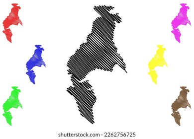
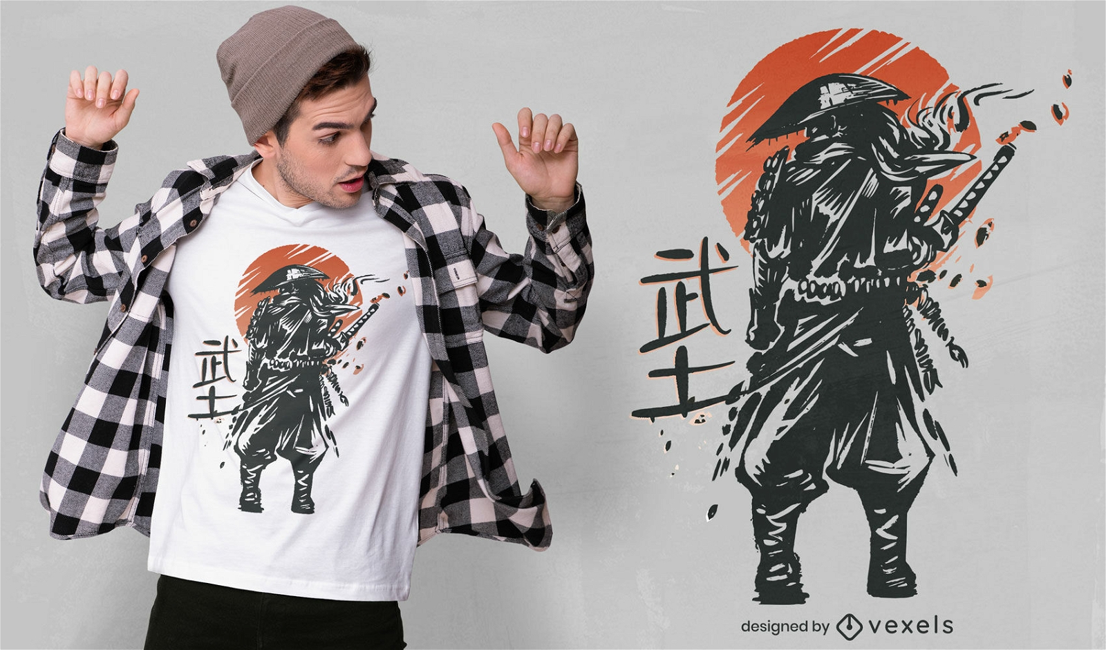
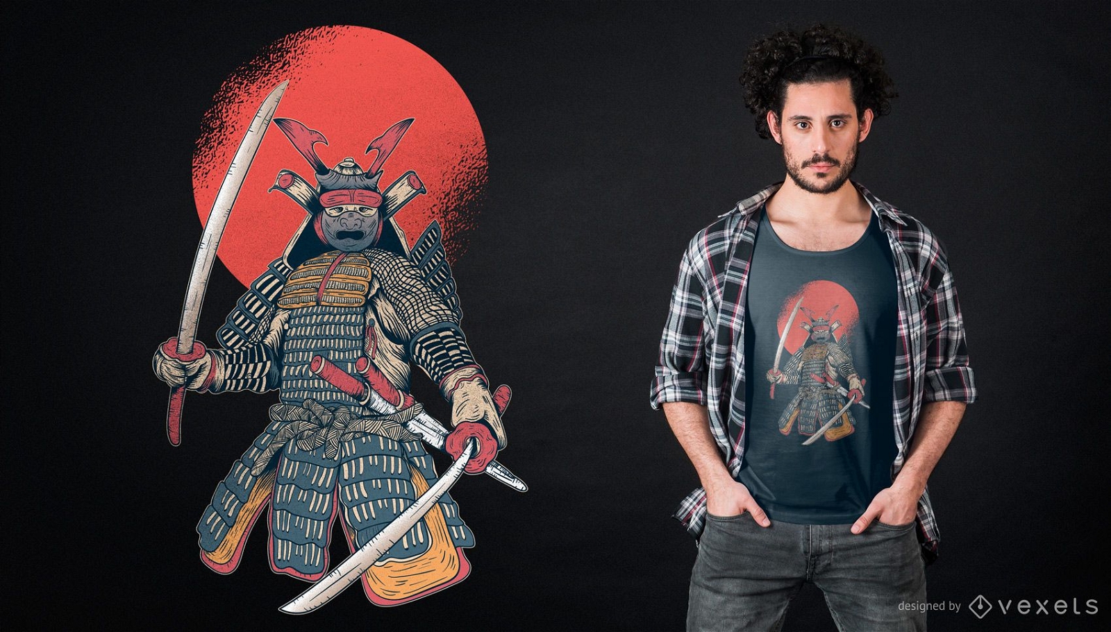
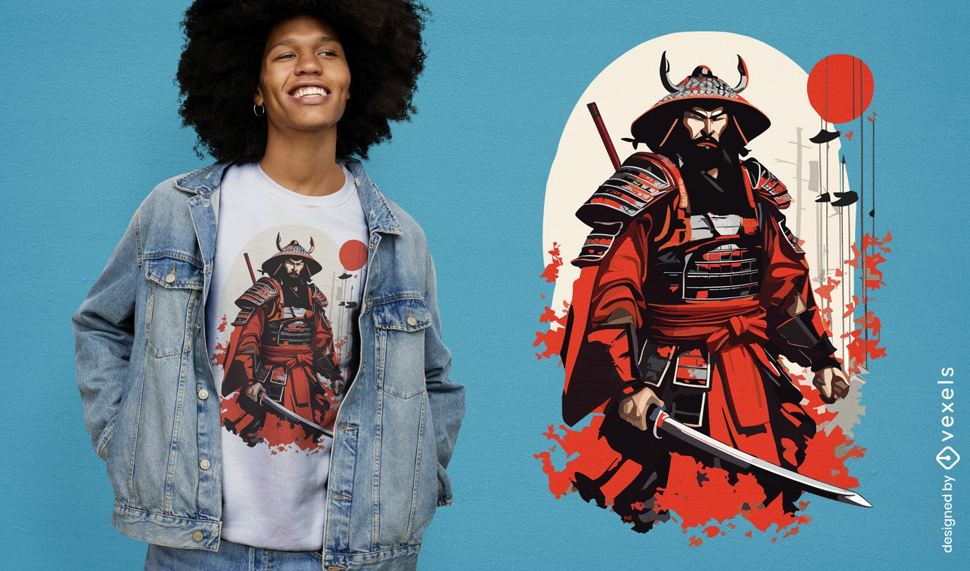
Design de camiseta japonesa guerreiro samurai
Escolha uma pasta
Todos os favoritos
Criar novo
Salvar
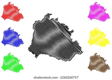
Design de camiseta japonesa guerreiro samurai
Pronto para imprimir
para Merch
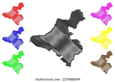
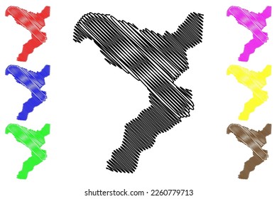
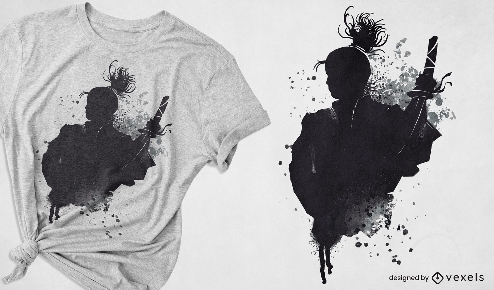
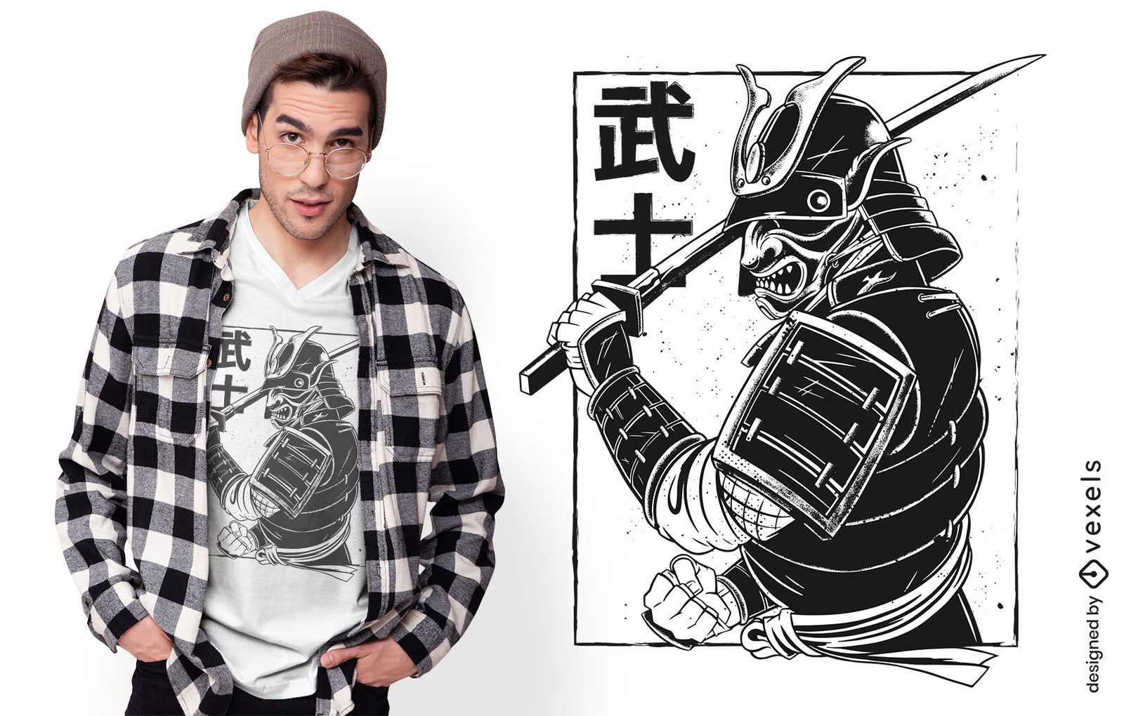
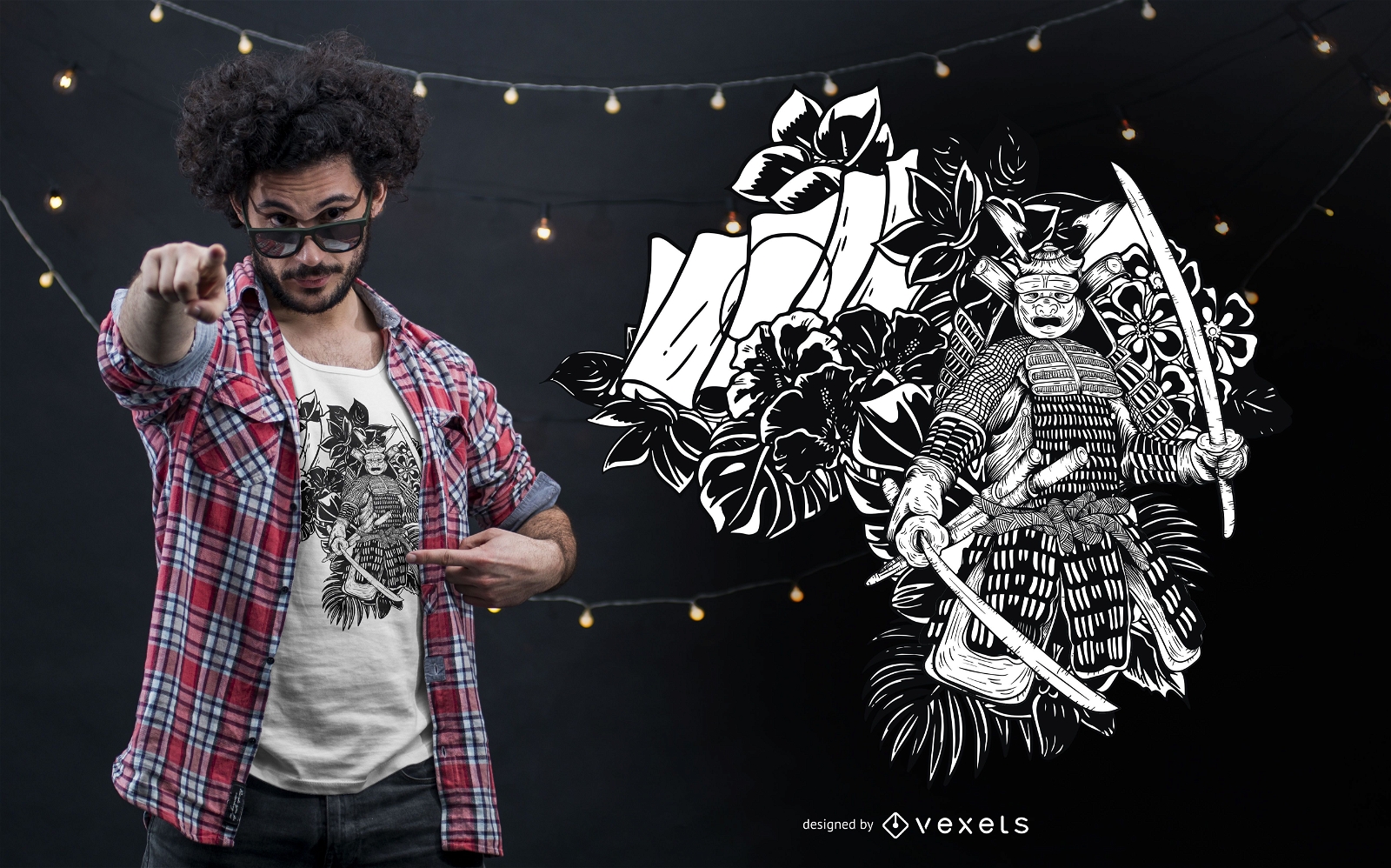
Desenho de t-shirt com arte em tinta de guerreiro samurai japonês
Escolha uma pasta
Todos os favoritos
Criar novo
Salvar
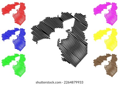
Desenho de t-shirt com arte em tinta de guerreiro samurai japonês
Pronto para imprimir
para Merch
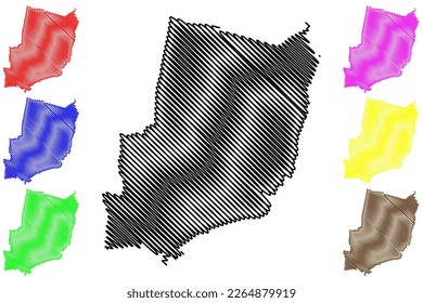
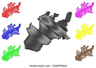
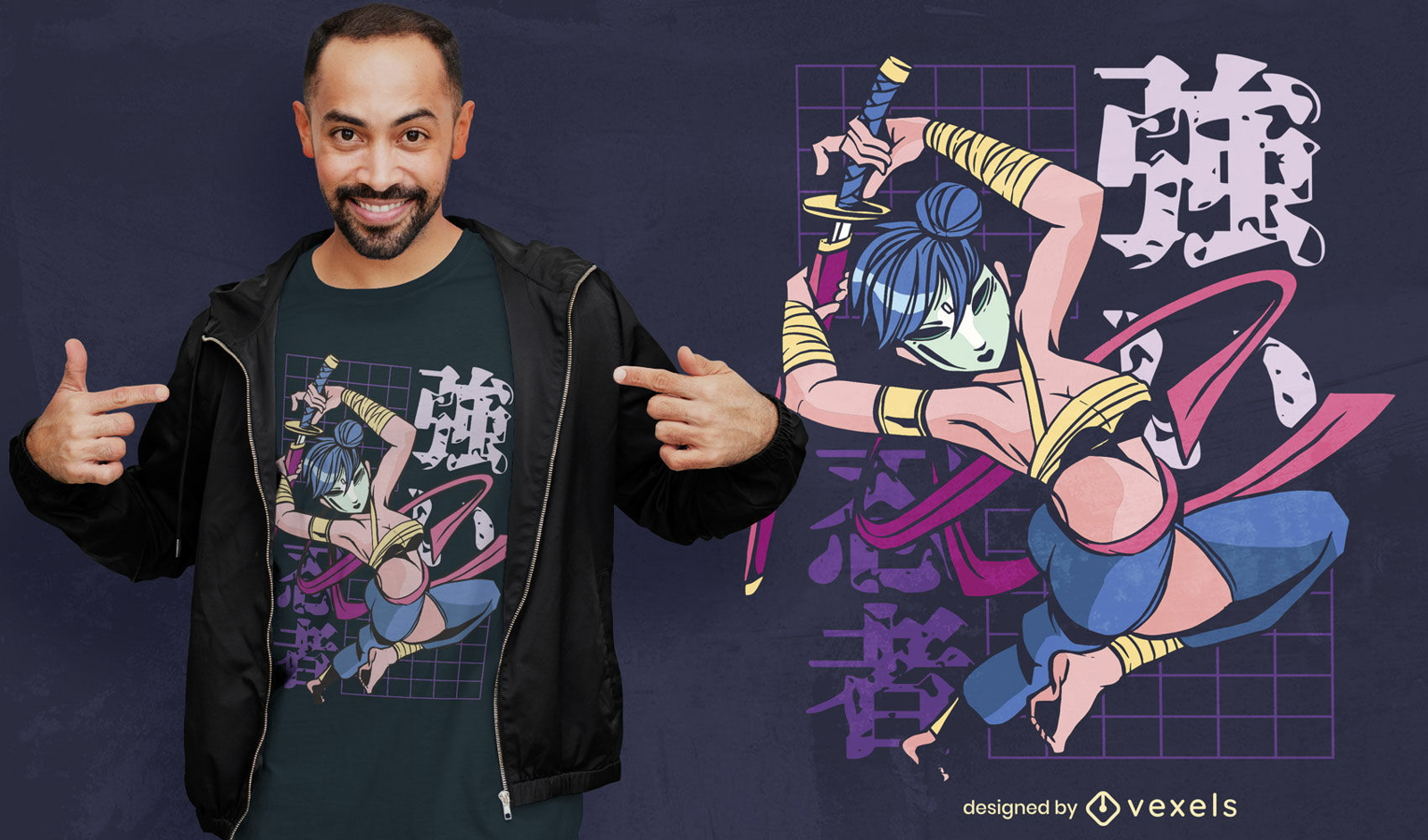
Design de camiseta anime samurai guerreiro
Escolha uma pasta
Todos os favoritos
Criar novo
Salvar
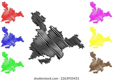
Design de camiseta anime samurai guerreiro
Pronto para imprimir
para Merch
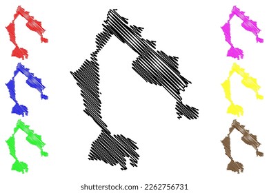
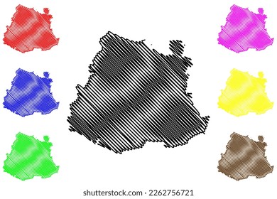
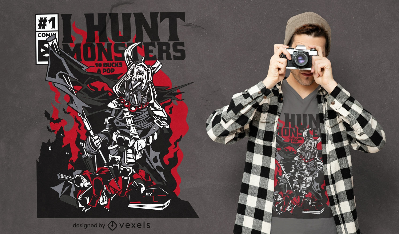
Design de camiseta para capa de quadrinhos Monster Hunter Warrior
Escolha uma pasta
Todos os favoritos
Criar novo
Salvar
Design de camiseta para capa de quadrinhos Monster Hunter Warrior
Pronto para imprimir
para Merch
Samurai japonês com design de camiseta de máscara
Escolha uma pasta
Todos os favoritos
Criar novo
Salvar
Samurai japonês com design de camiseta de máscara
Pronto para imprimir
para Merch
Design de camisetas Samurai
Escolha uma pasta
Todos os favoritos
Criar novo
Salvar
Design de camisetas Samurai
Pronto para imprimir
para Merch
Guerreiro viking monocromático com design de camiseta
Escolha uma pasta
Todos os favoritos
Criar novo
Salvar
Guerreiro viking monocromático com design de camiseta
Pronto para imprimir
para Merch
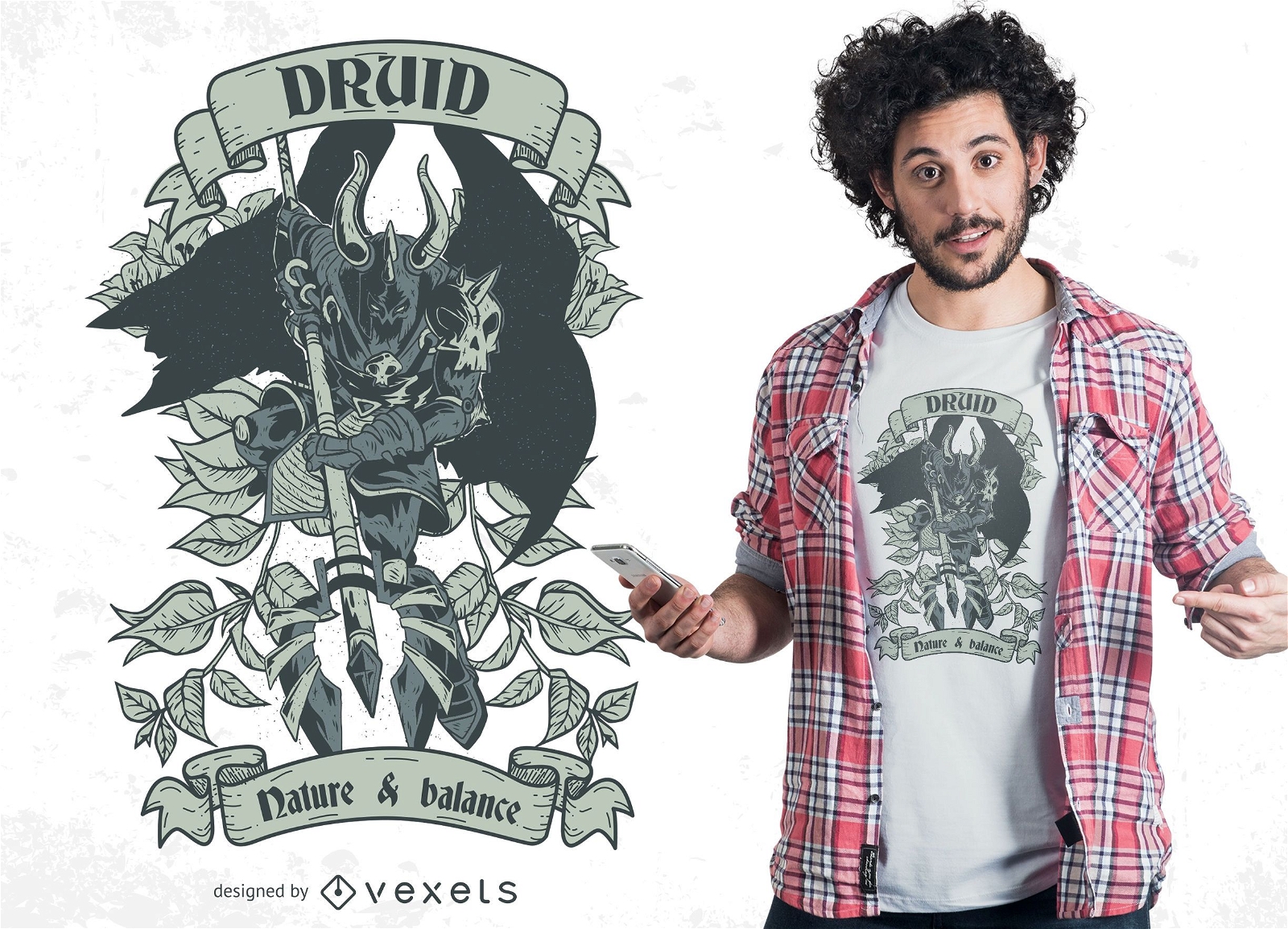
Design de camisetas Druid Warrior
Escolha uma pasta
Todos os favoritos
Criar novo
Salvar
Design de camisetas Druid Warrior
Pronto para imprimir
para Merch
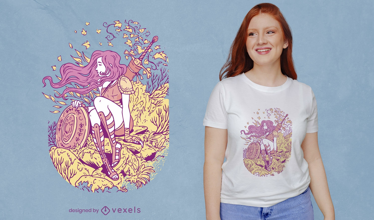
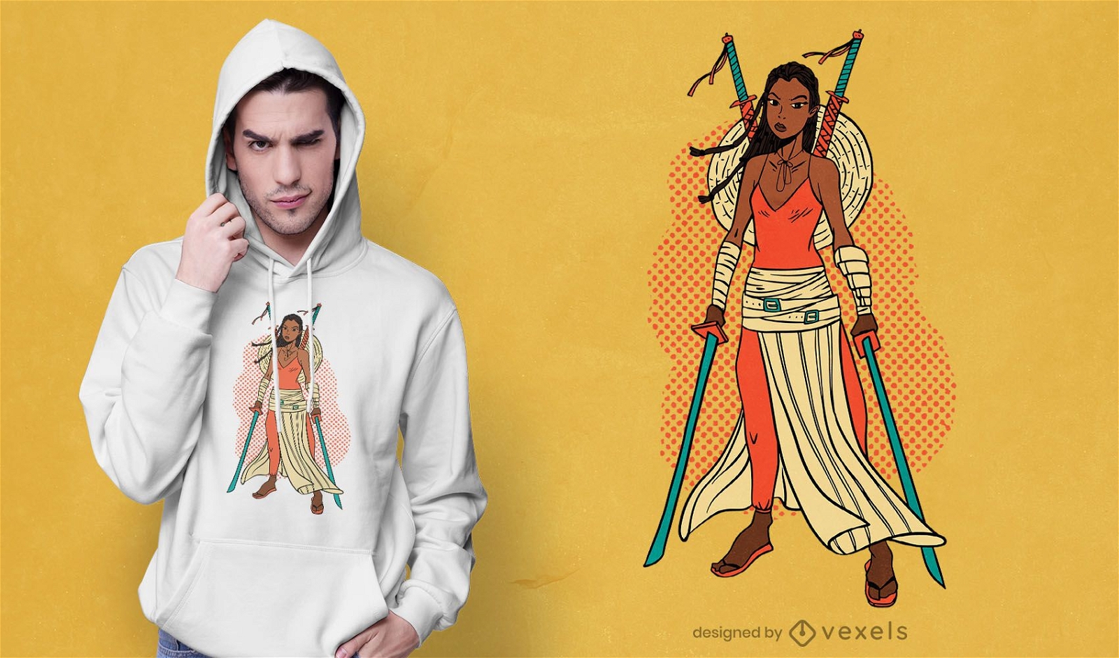
Guerreira no design de t-shirt da natureza
Escolha uma pasta
Todos os favoritos
Criar novo
Salvar
Guerreira no design de t-shirt da natureza
Pronto para imprimir
para Merch
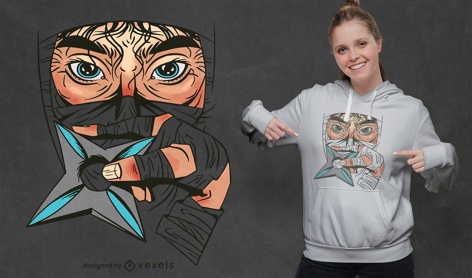
Olhos de guerreiro ninja com design de camiseta de arma
Escolha uma pasta
Todos os favoritos
Criar novo
Salvar
Olhos de guerreiro ninja com design de camiseta de arma
Pronto para imprimir
para Merch
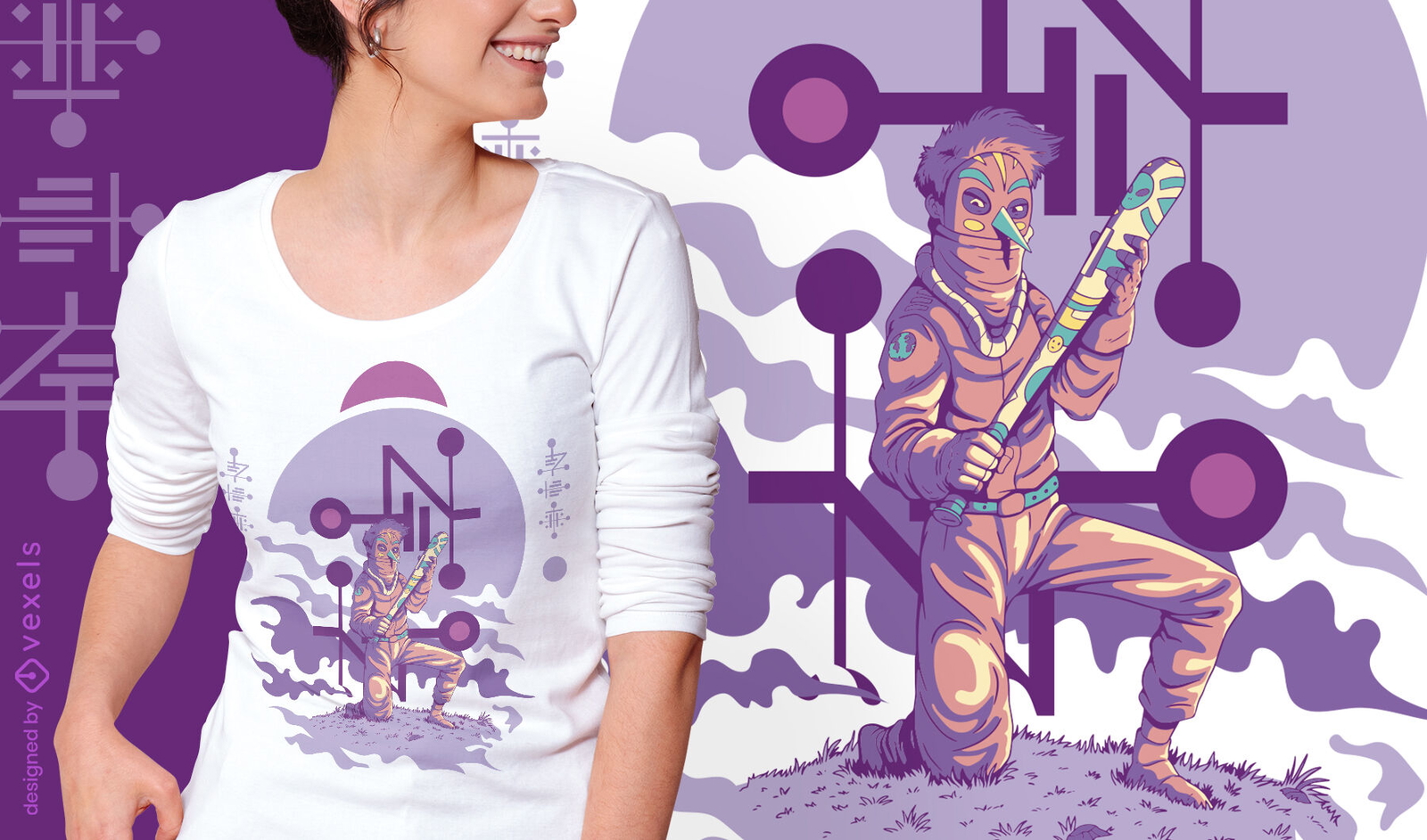
Design de camiseta do guerreiro anime vaporwave
Escolha uma pasta
Todos os favoritos
Criar novo
Salvar
Design de camiseta do guerreiro anime vaporwave
para Merch
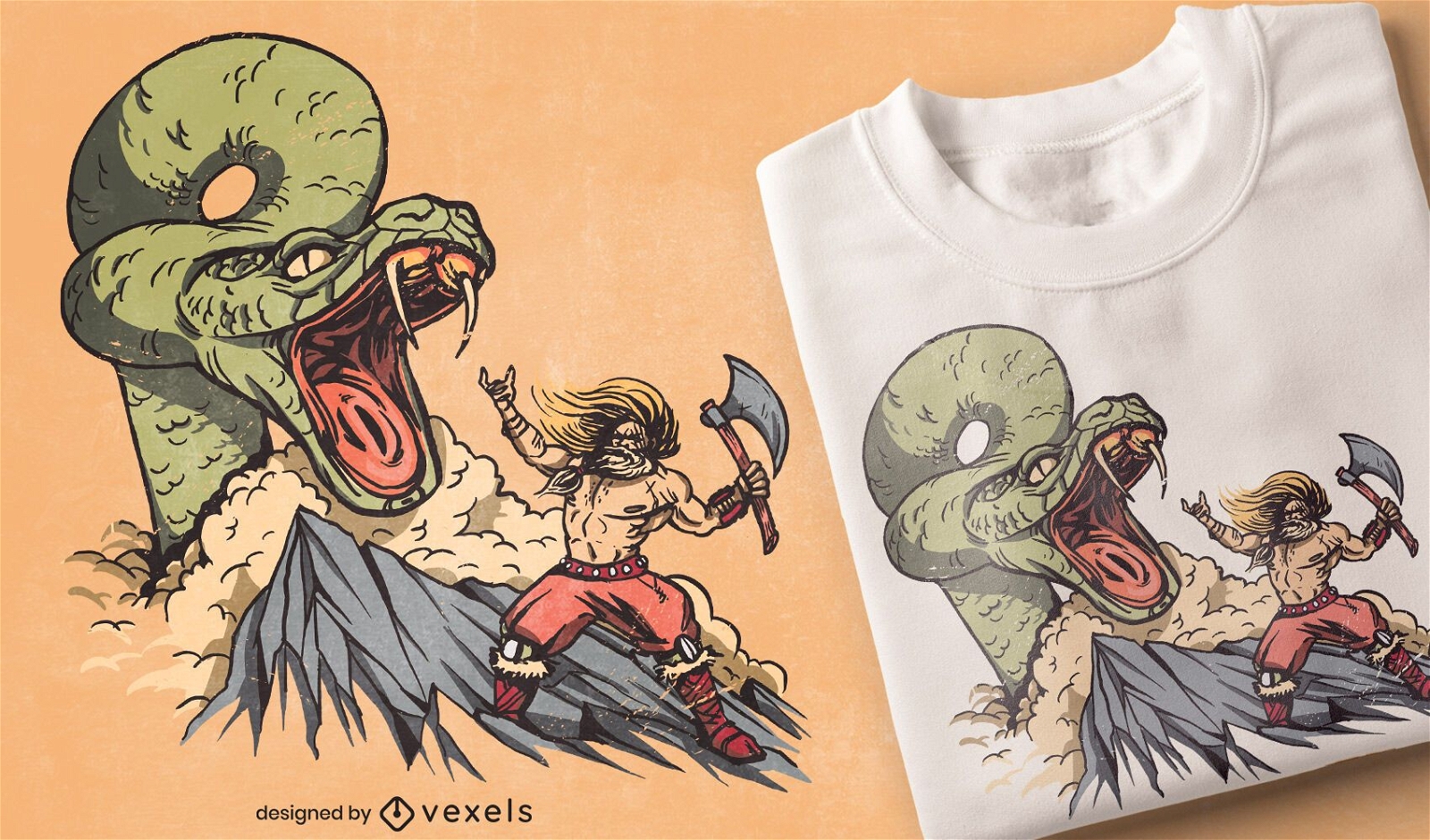
Design de camiseta de cobra Viking
Escolha uma pasta
Todos os favoritos
Criar novo
Salvar
Design de camiseta de cobra Viking
Pronto para imprimir
para Merch
Design moderno de camisetas Samurai
Escolha uma pasta
Todos os favoritos
Criar novo
Salvar
Design moderno de camisetas Samurai
Pronto para imprimir
para Merch
Design de camisetas Samurai em preto e branco
Escolha uma pasta
Todos os favoritos
Criar novo
Salvar
Design de camisetas Samurai em preto e branco
texto editável
Pronto para imprimir
para Merch
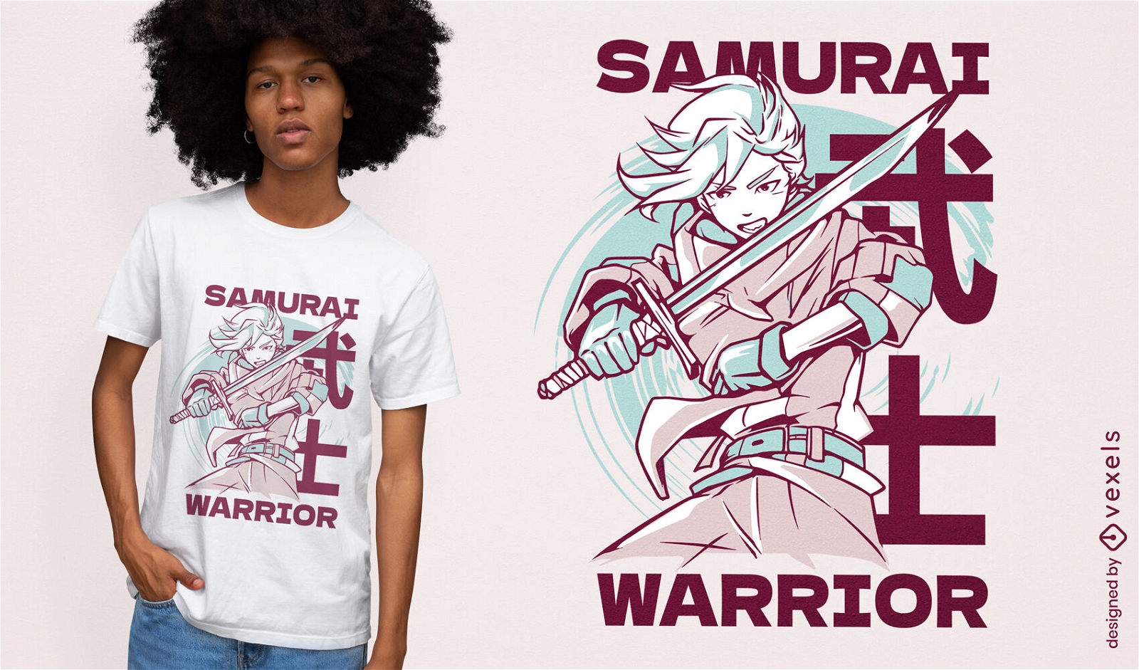
Design de camiseta de anime guerreiro samurai
Escolha uma pasta
Todos os favoritos
Criar novo
Salvar
Design de camiseta de anime guerreiro samurai
Pronto para imprimir
para Merch
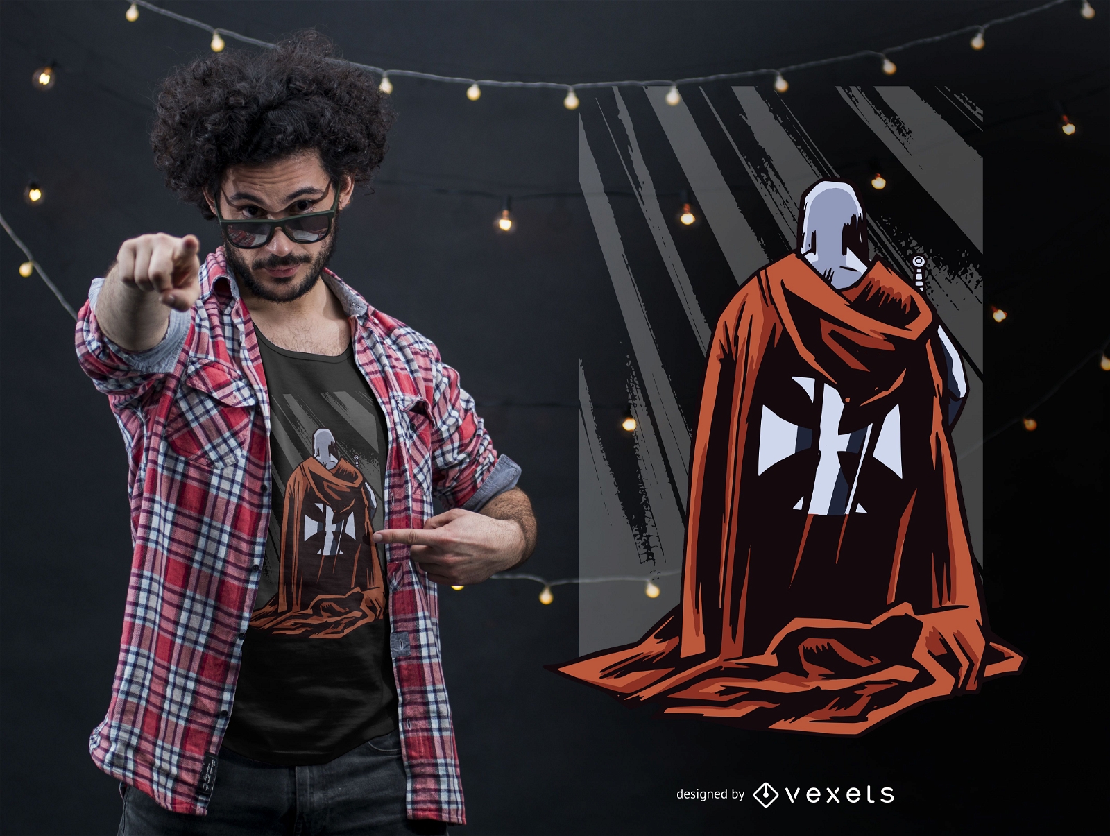
Design de camiseta de cristianismo de guerreiro cruzado
Escolha uma pasta
Todos os favoritos
Criar novo
Salvar
Design de camiseta de cristianismo de guerreiro cruzado
Pronto para imprimir
para Merch
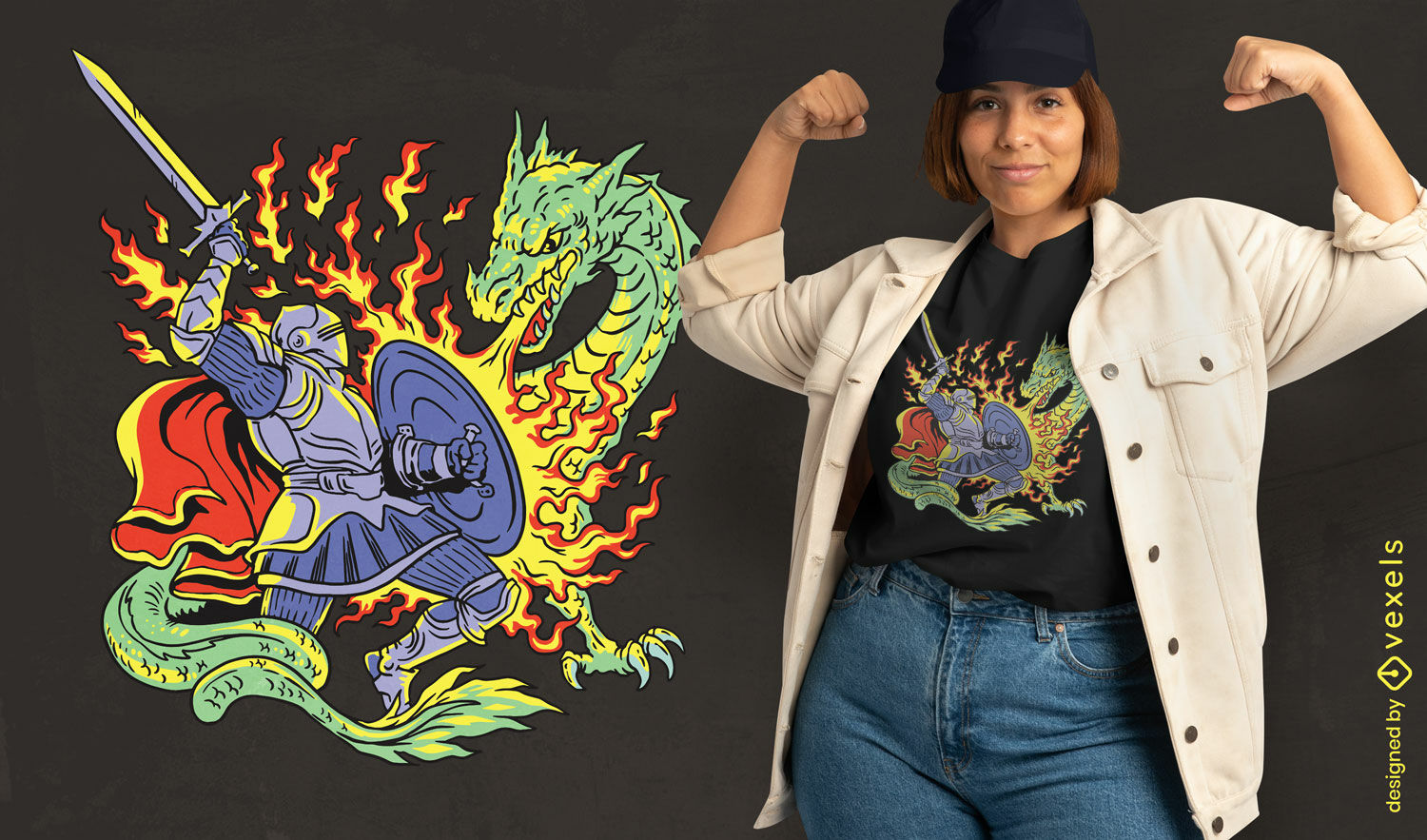
Design de camiseta de dragão matador de cavaleiro
Escolha uma pasta
Todos os favoritos
Criar novo
Salvar
Design de camiseta de dragão matador de cavaleiro
Pronto para imprimir
para Merch
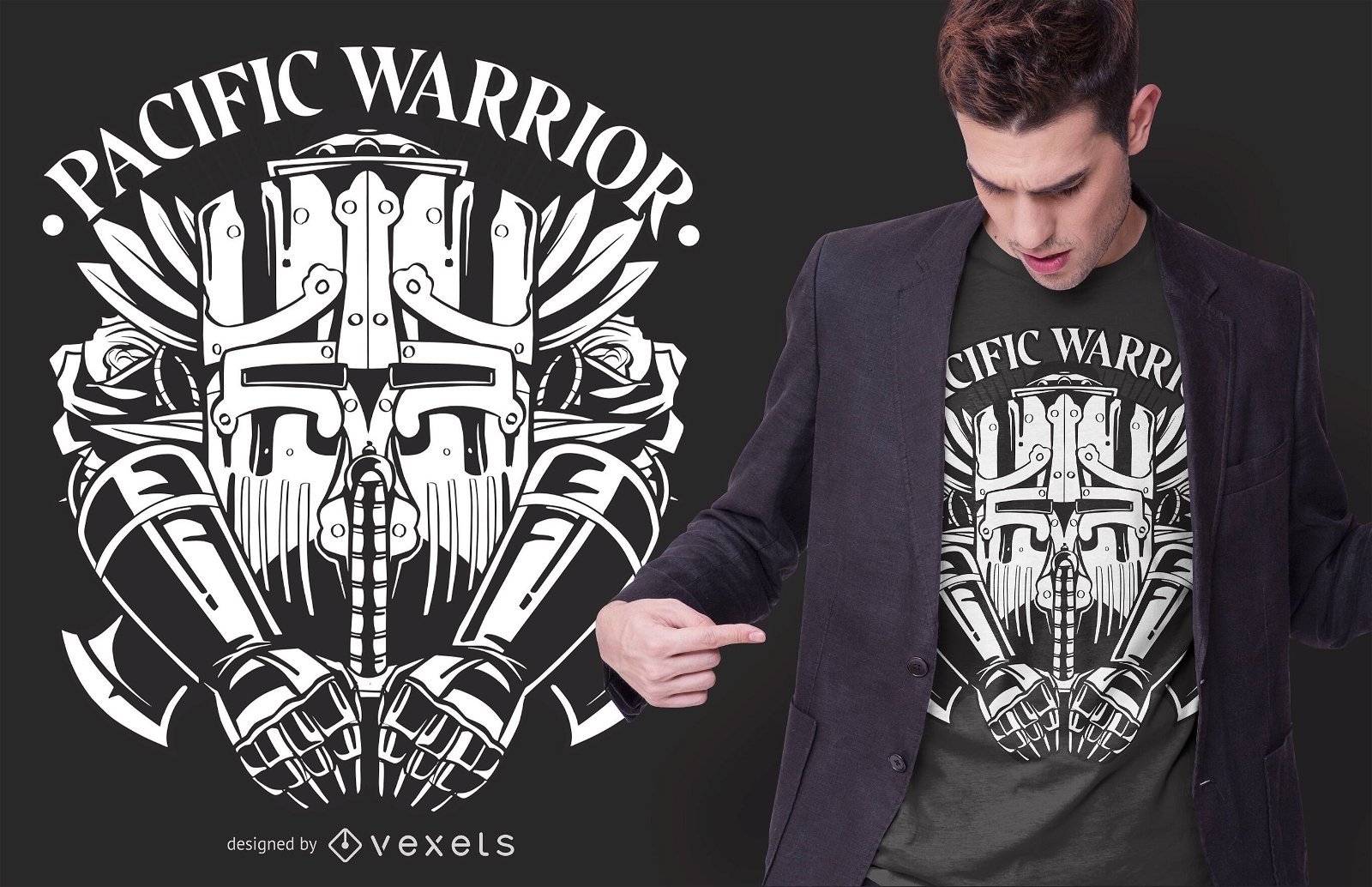
Design de camisetas Pacific Warrior
Escolha uma pasta
Todos os favoritos
Criar novo
Salvar
Design de camisetas Pacific Warrior
Pronto para imprimir
para Merch
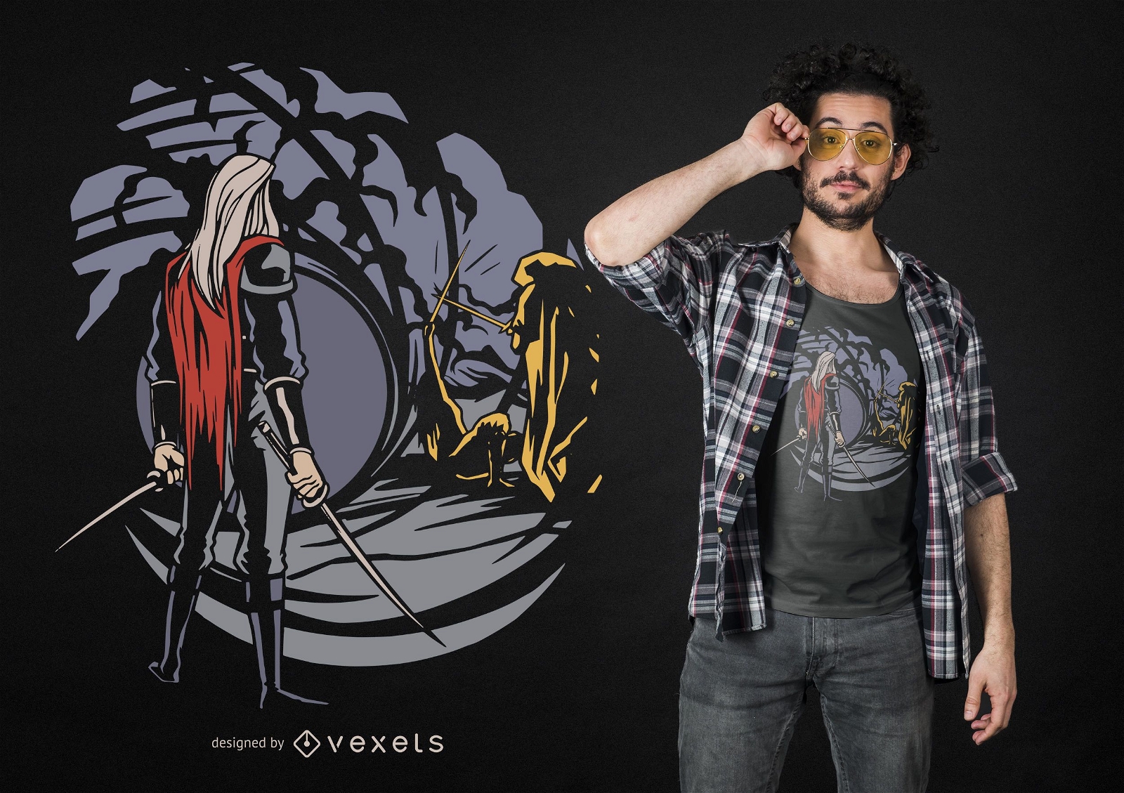
Design de camisetas Dark Adventure
Escolha uma pasta
Todos os favoritos
Criar novo
Salvar
Design de camisetas Dark Adventure
Pronto para imprimir
para Merch
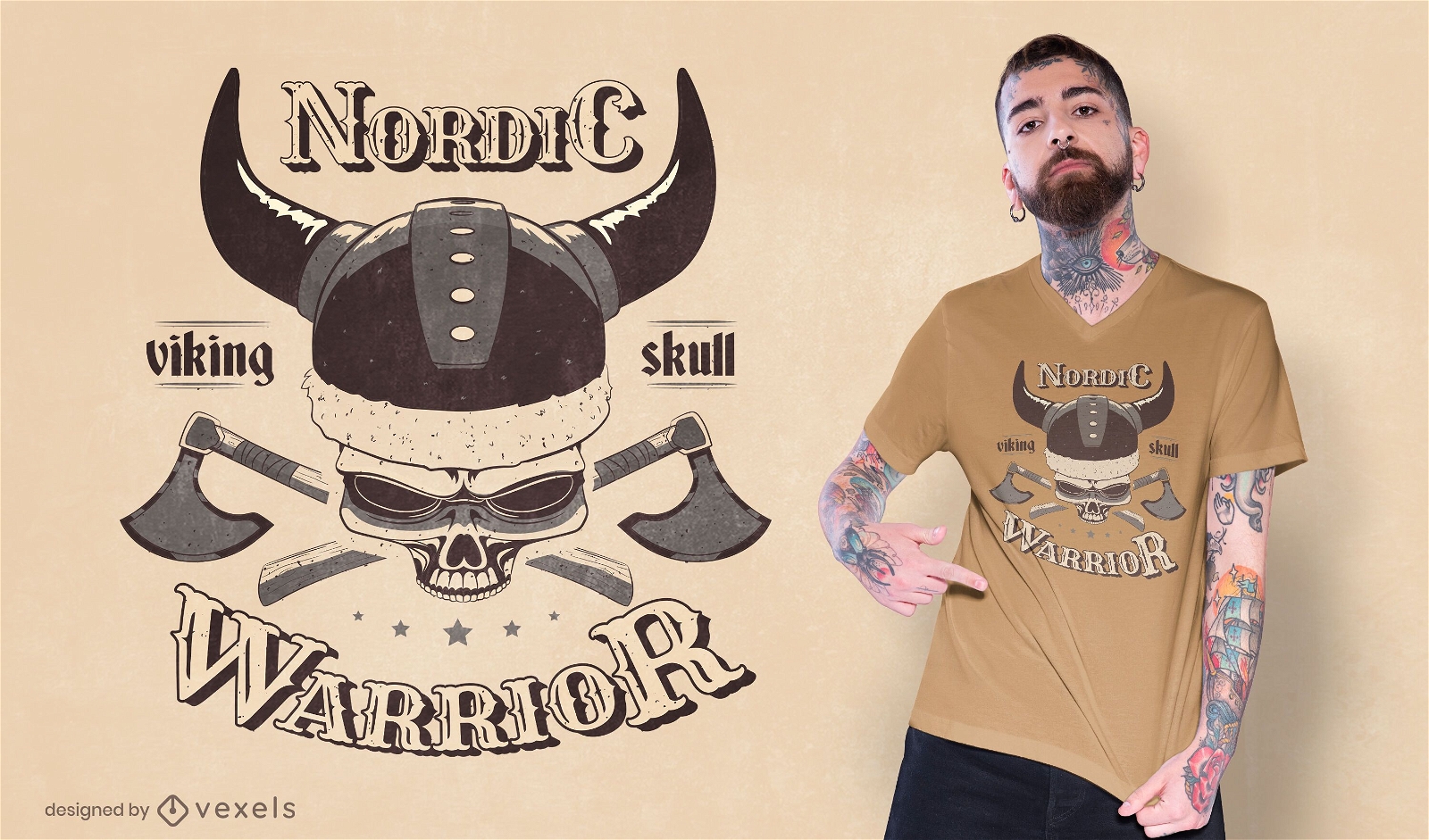
Design de camiseta com caveira viking
Escolha uma pasta
Todos os favoritos
Criar novo
Salvar
Design de camiseta com caveira viking
Pronto para imprimir
para Merch
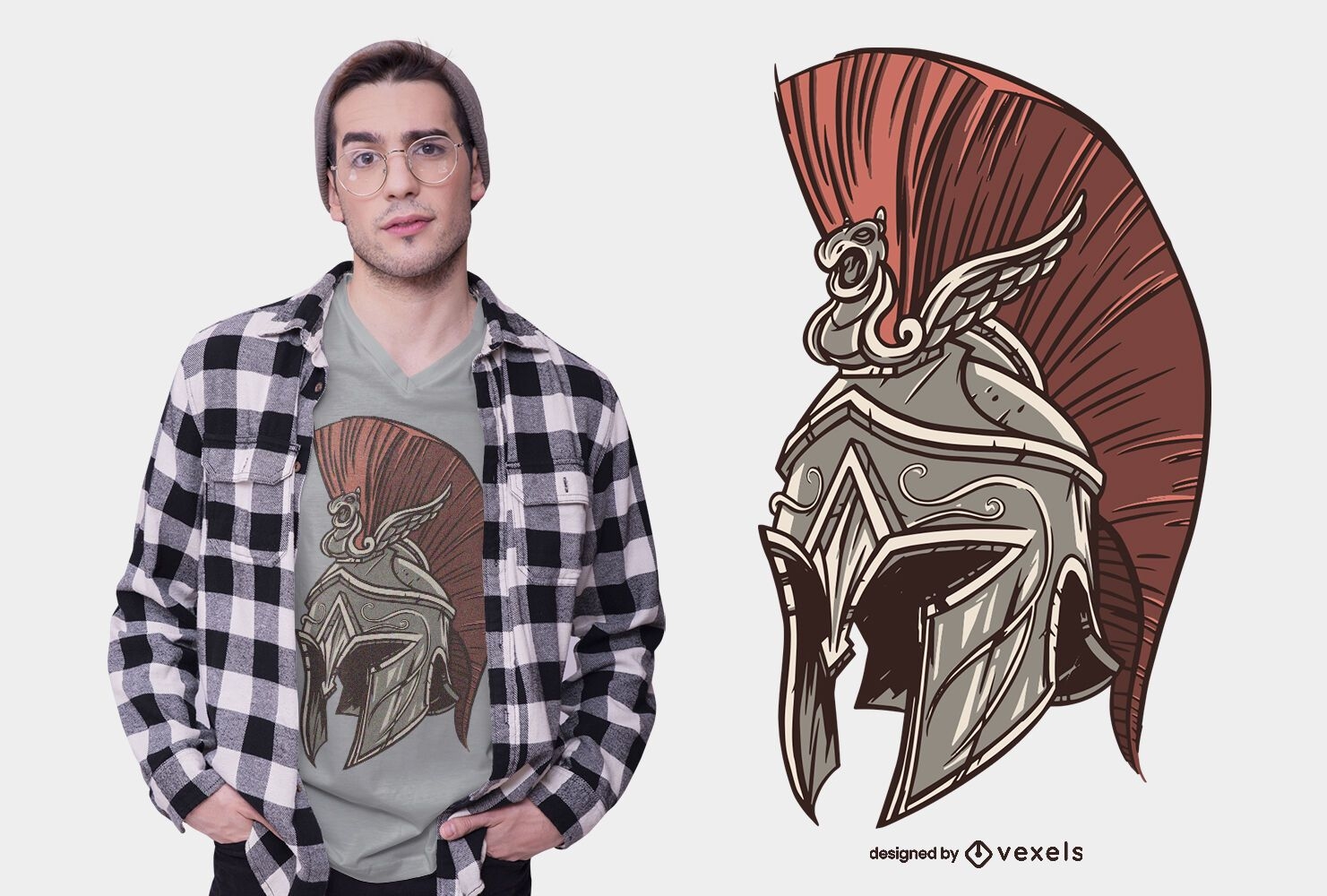
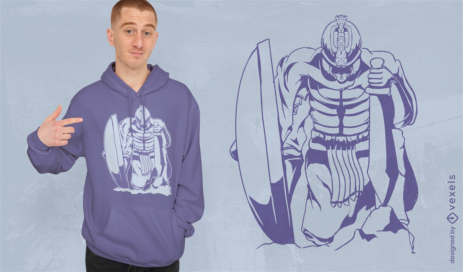
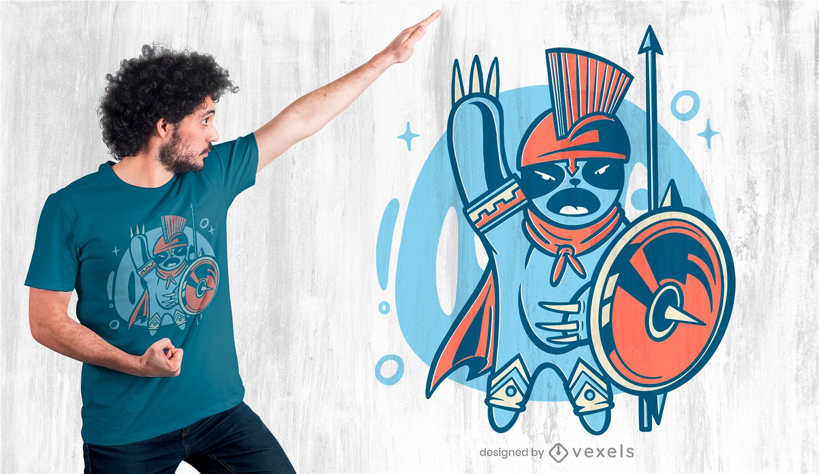
Design detalhado de camiseta de capacete de guerreiro espartano
Escolha uma pasta
Todos os favoritos
Criar novo
Salvar
Design detalhado de camiseta de capacete de guerreiro espartano
Pronto para imprimir
para Merch
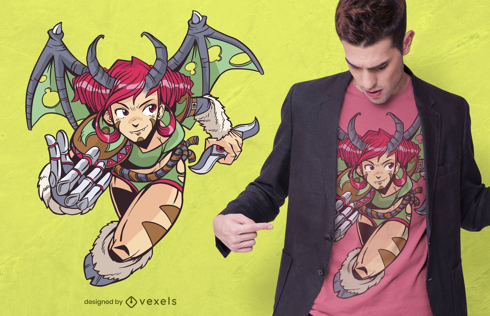
Design de camiseta de anime de garota demônio guerreira
Escolha uma pasta
Todos os favoritos
Criar novo
Salvar
Design de camiseta de anime de garota demônio guerreira
Pronto para imprimir
para Merch
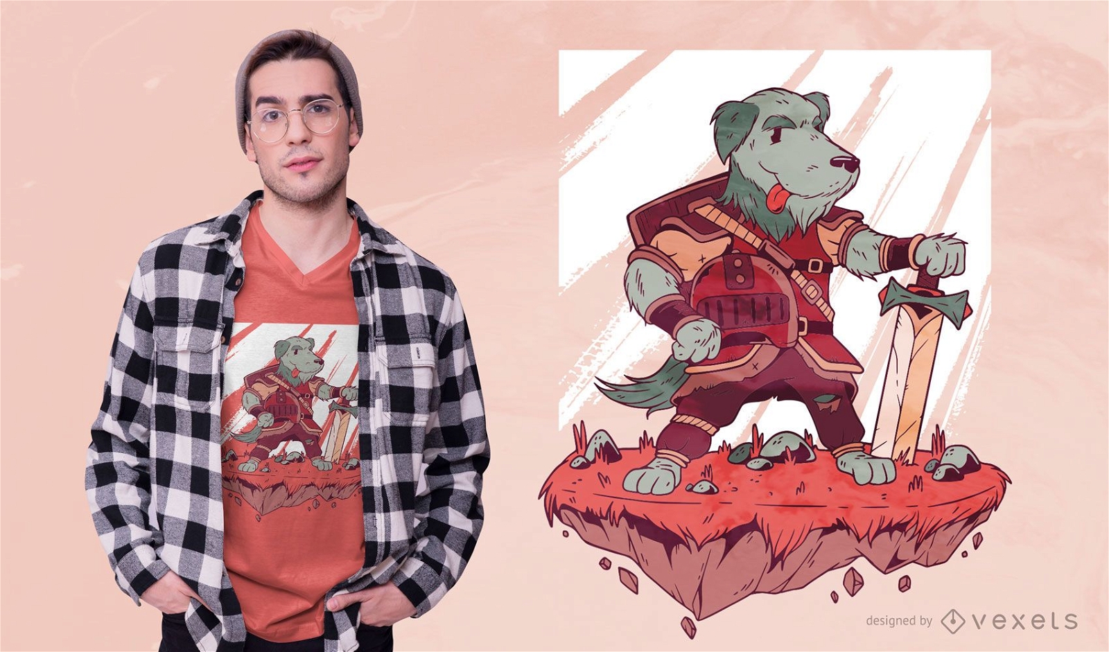
Design de camisetas Dog Warrior
Escolha uma pasta
Todos os favoritos
Criar novo
Salvar
Design de camisetas Dog Warrior
Pronto para imprimir
para Merch
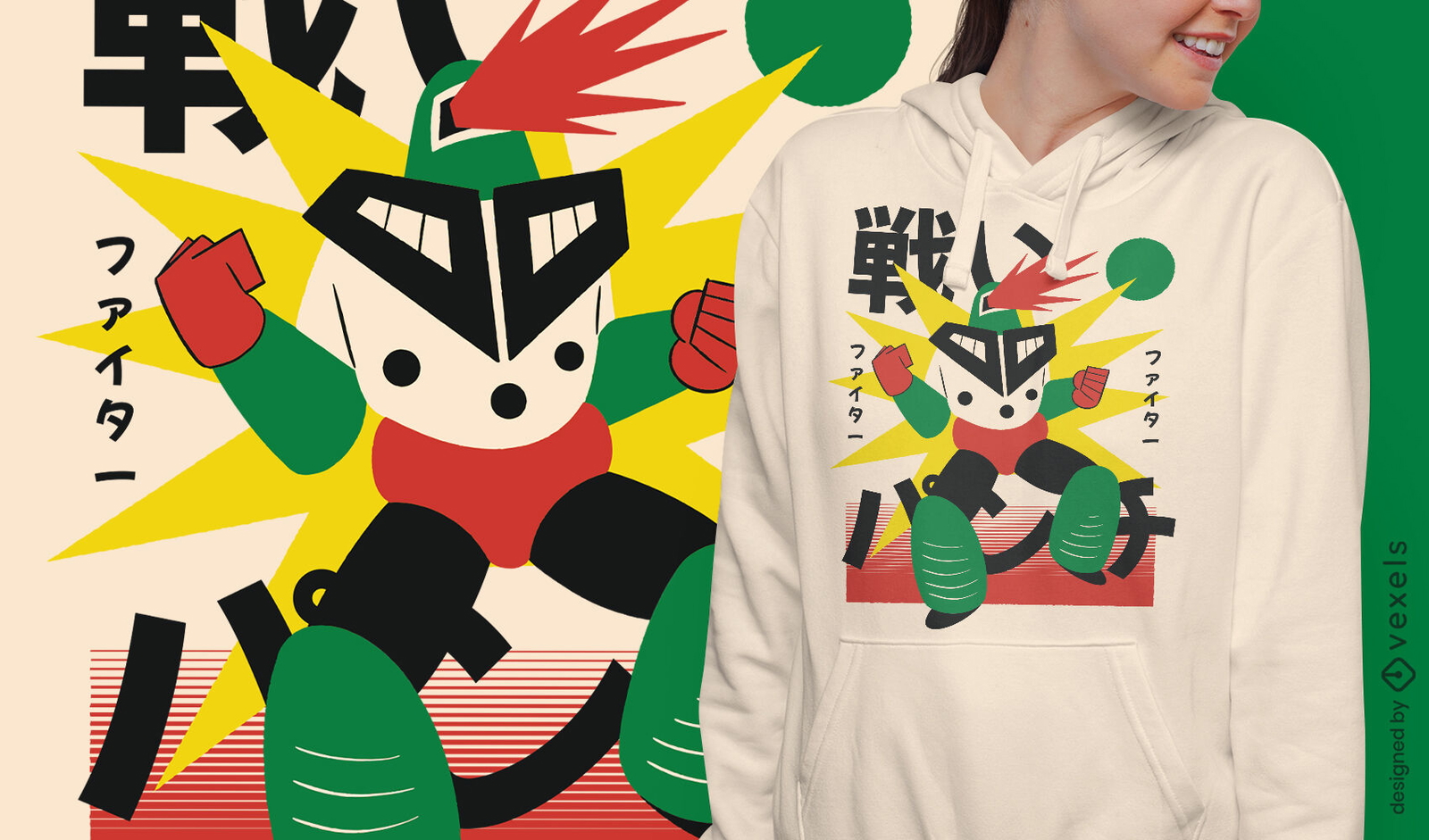
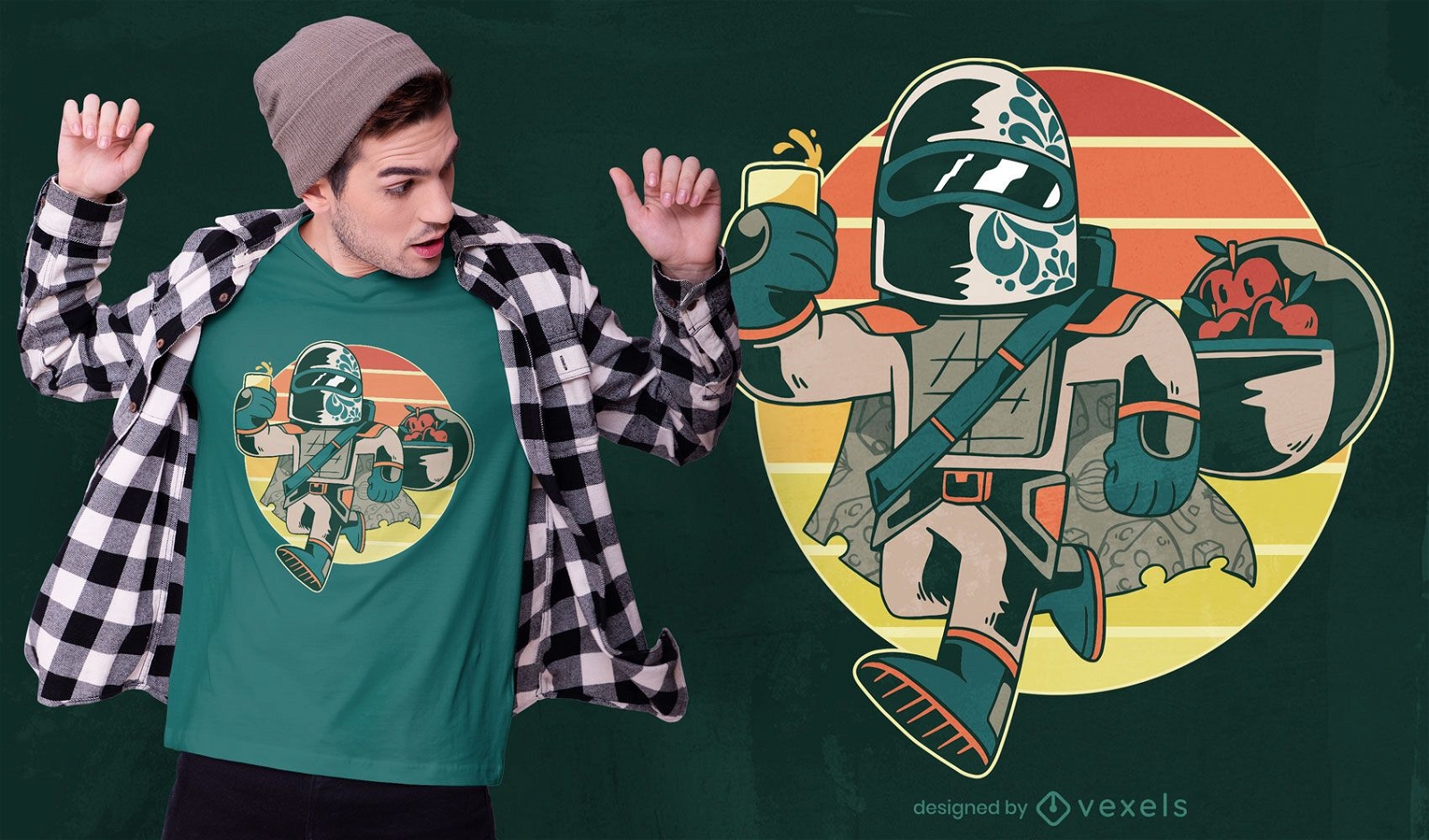
Design de camiseta de guerreiro de fogo robô japonês
Escolha uma pasta
Todos os favoritos
Criar novo
Salvar
Design de camiseta de guerreiro de fogo robô japonês
texto editável
Pronto para imprimir
para Merch
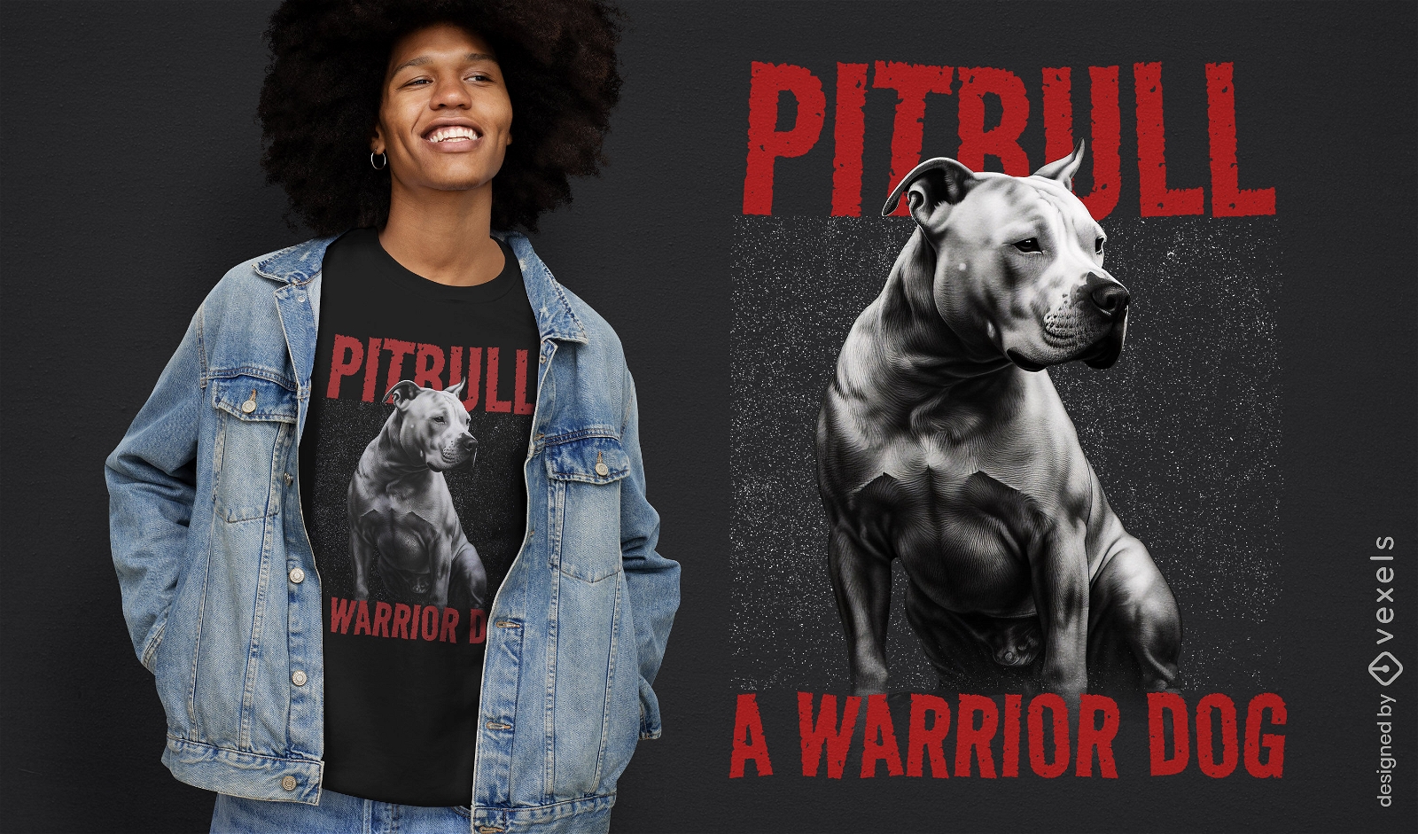
Design de camiseta de cachorro guerreiro Pitbull
Escolha uma pasta
Todos os favoritos
Criar novo
Salvar
Design de camiseta de cachorro guerreiro Pitbull
texto editável
Pronto para imprimir
para Merch
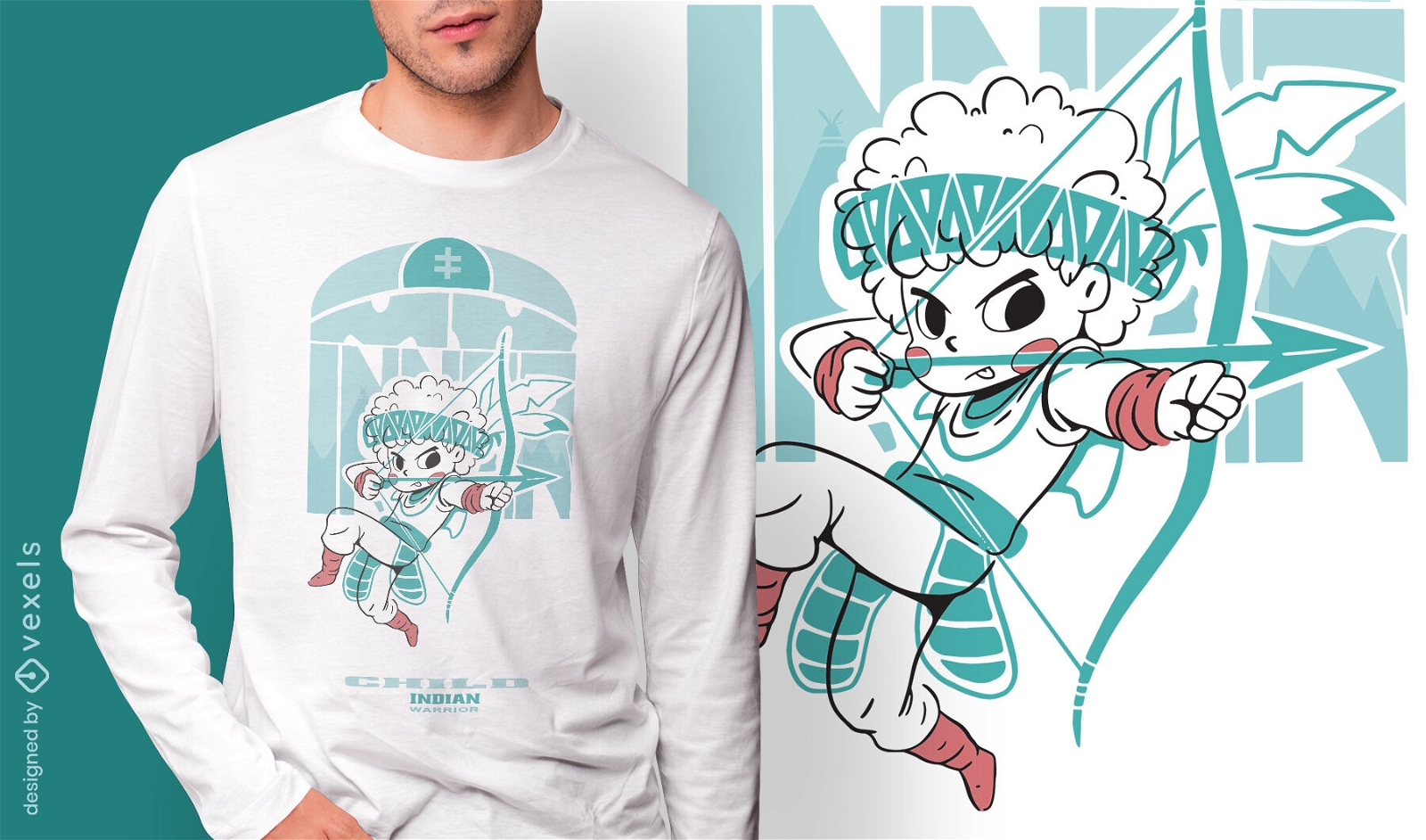
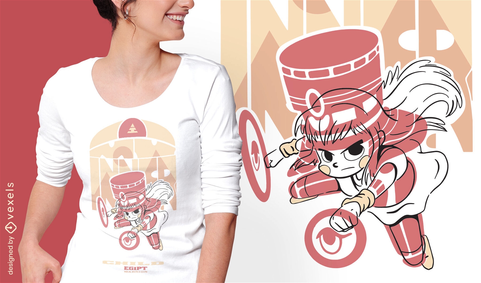
Garoto com design de camiseta de arco e flecha
Escolha uma pasta
Todos os favoritos
Criar novo
Salvar
Garoto com design de camiseta de arco e flecha
Pronto para imprimir
para Merch
Design de camiseta do guerreiro pôr do sol
Escolha uma pasta
Todos os favoritos
Criar novo
Salvar
Design de camiseta do guerreiro pôr do sol
Pronto para imprimir
para Merch
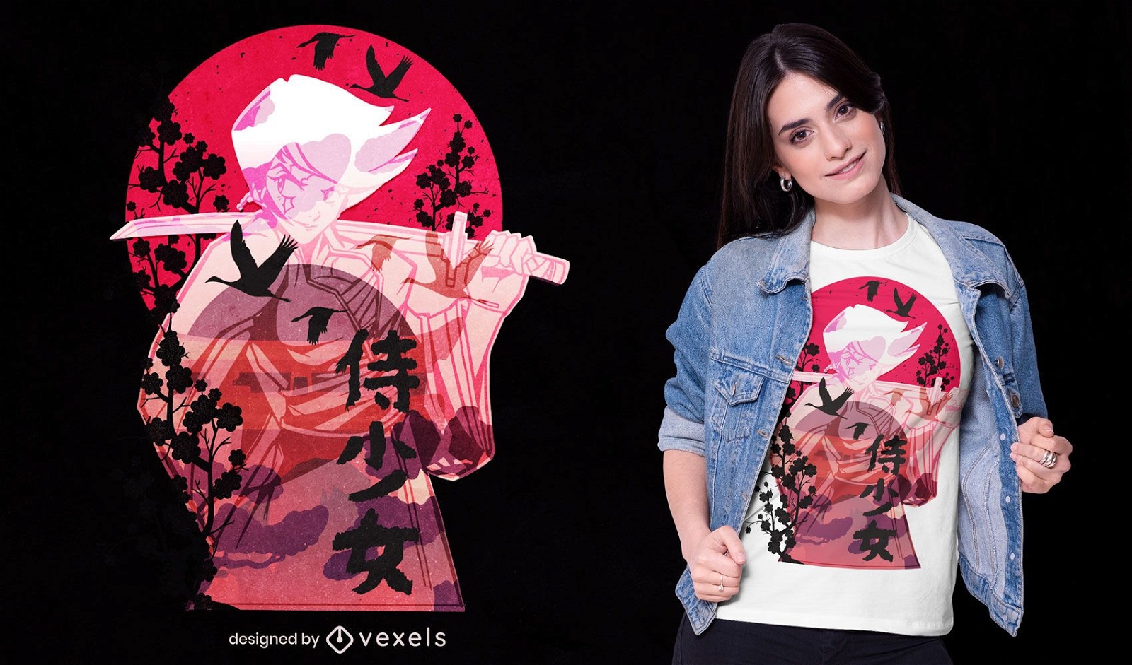
Design de camiseta ronin japonesa
Escolha uma pasta
Todos os favoritos
Criar novo
Salvar
Design de camiseta ronin japonesa
texto editável
Pronto para imprimir
para Merch
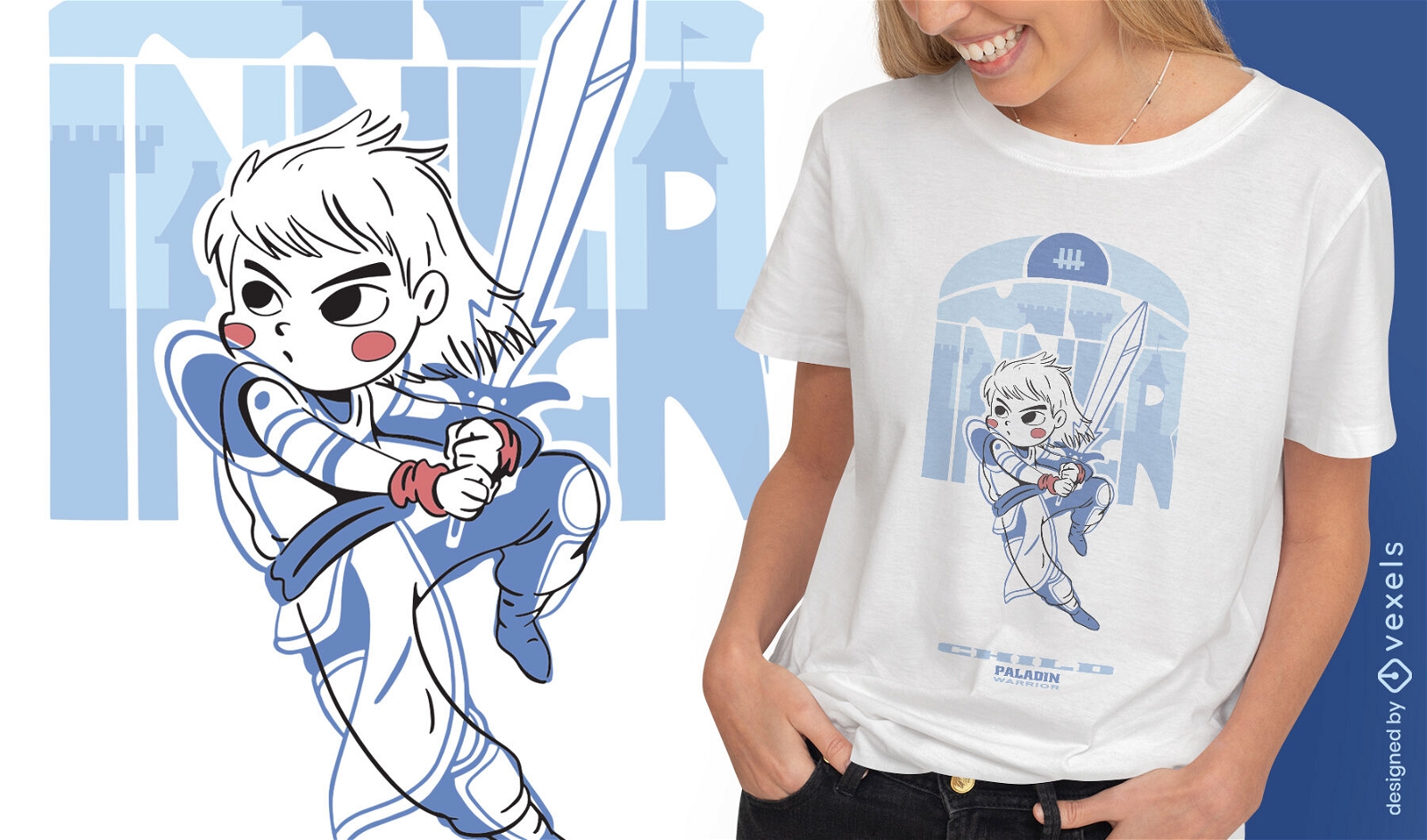
Garoto com design de camiseta de luta de espadas
Escolha uma pasta
Todos os favoritos
Criar novo
Salvar
Garoto com design de camiseta de luta de espadas
Pronto para imprimir
para Merch
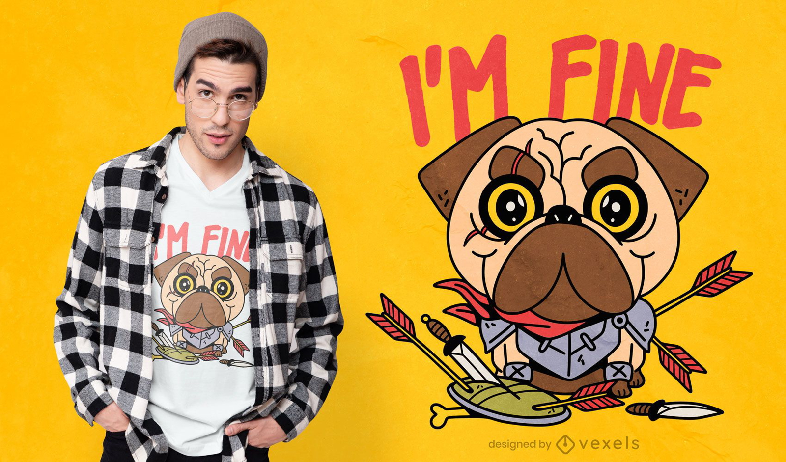
Design de camiseta de pug guerreiro
Escolha uma pasta
Todos os favoritos
Criar novo
Salvar
Design de camiseta de pug guerreiro
texto editável
Pronto para imprimir
para Merch
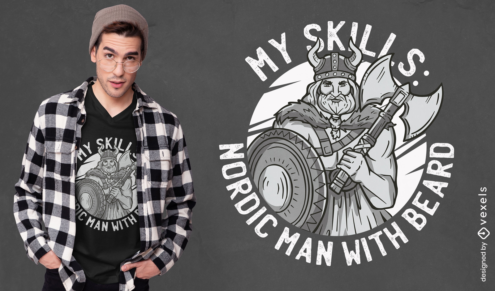
Design de t-shirt de citação de homem nórdico viking
Escolha uma pasta
Todos os favoritos
Criar novo
Salvar
Design de t-shirt de citação de homem nórdico viking
Pronto para imprimir
para Merch
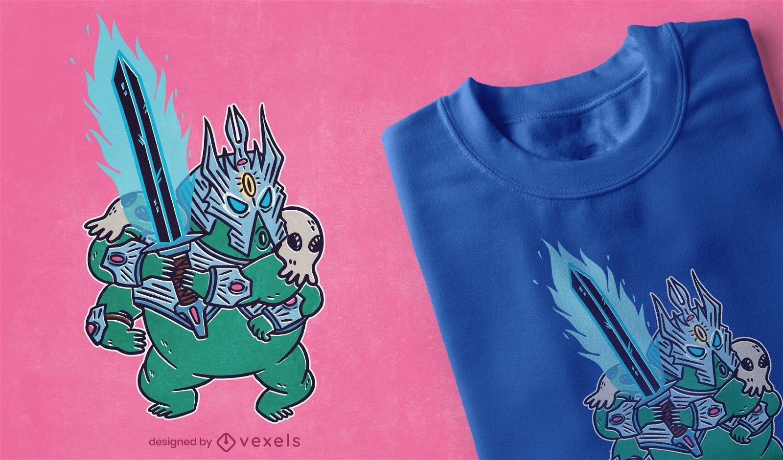
Design de camiseta de RPG do guerreiro Tardígrade
Escolha uma pasta
Todos os favoritos
Criar novo
Salvar
Design de camiseta de RPG do guerreiro Tardígrade
Pronto para imprimir
para Merch
Cavaleiro com design de camiseta de espada e escudo
Escolha uma pasta
Todos os favoritos
Criar novo
Salvar
Cavaleiro com design de camiseta de espada e escudo
Pronto para imprimir
para Merch
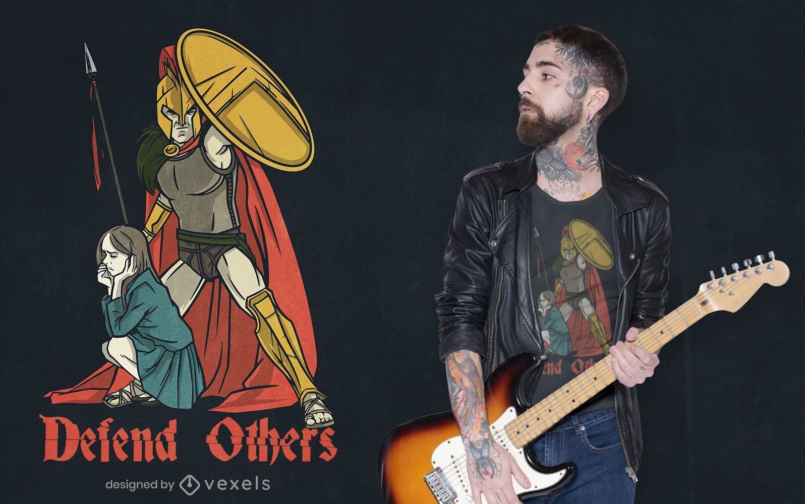
Defenda o design de outras camisetas
Escolha uma pasta
Todos os favoritos
Criar novo
Salvar
Defenda o design de outras camisetas
Pronto para imprimir
para Merch
Guerreiro alienígena mascarado ajoelhado com design de t-shirt de morcego
Escolha uma pasta
Todos os favoritos
Criar novo
Salvar
Guerreiro alienígena mascarado ajoelhado com design de t-shirt de morcego
texto editável
Pronto para imprimir
para Merch
Garoto com design de camiseta de escudos
Escolha uma pasta
Todos os favoritos
Criar novo
Salvar
Garoto com design de camiseta de escudos
para Merch
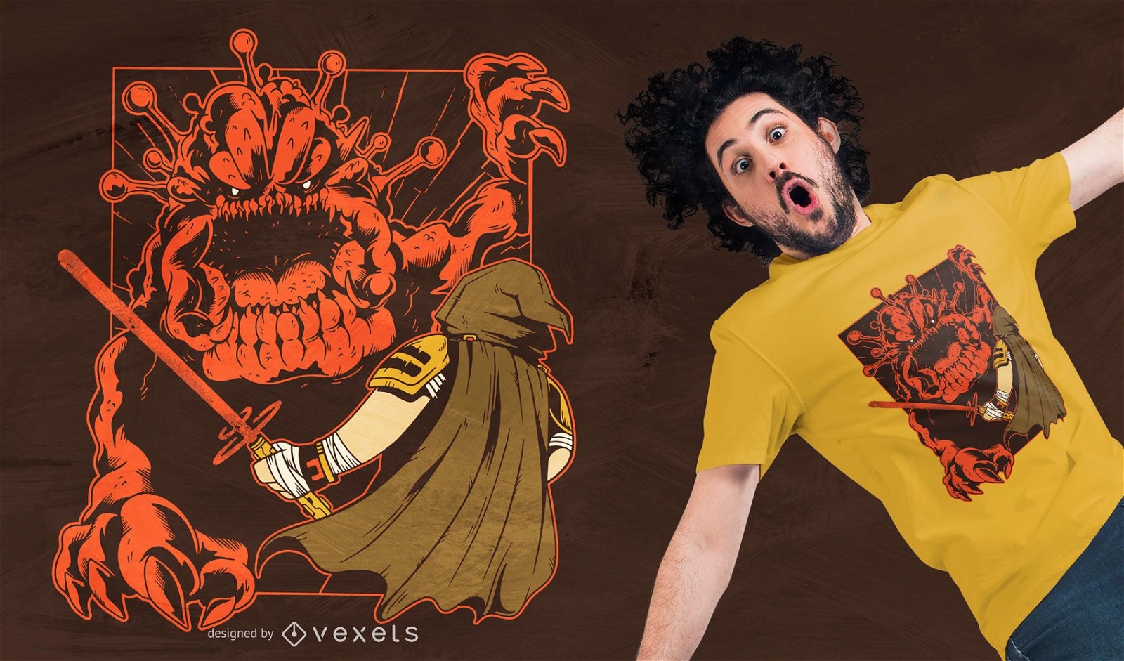
Design de camiseta do vírus galáctico
Escolha uma pasta
Todos os favoritos
Criar novo
Salvar
Design de camiseta do vírus galáctico
Pronto para imprimir
para Merch
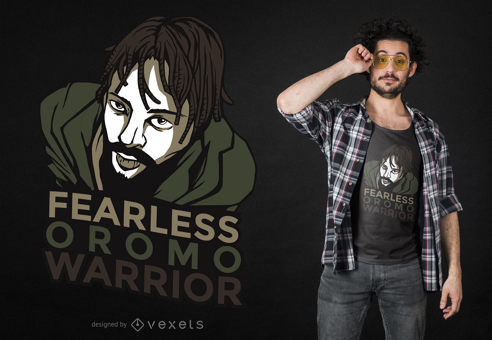
Design de camiseta do guerreiro Oromo
Escolha uma pasta
Todos os favoritos
Criar novo
Salvar
Design de camiseta do guerreiro Oromo
texto editável
Pronto para imprimir
para Merch
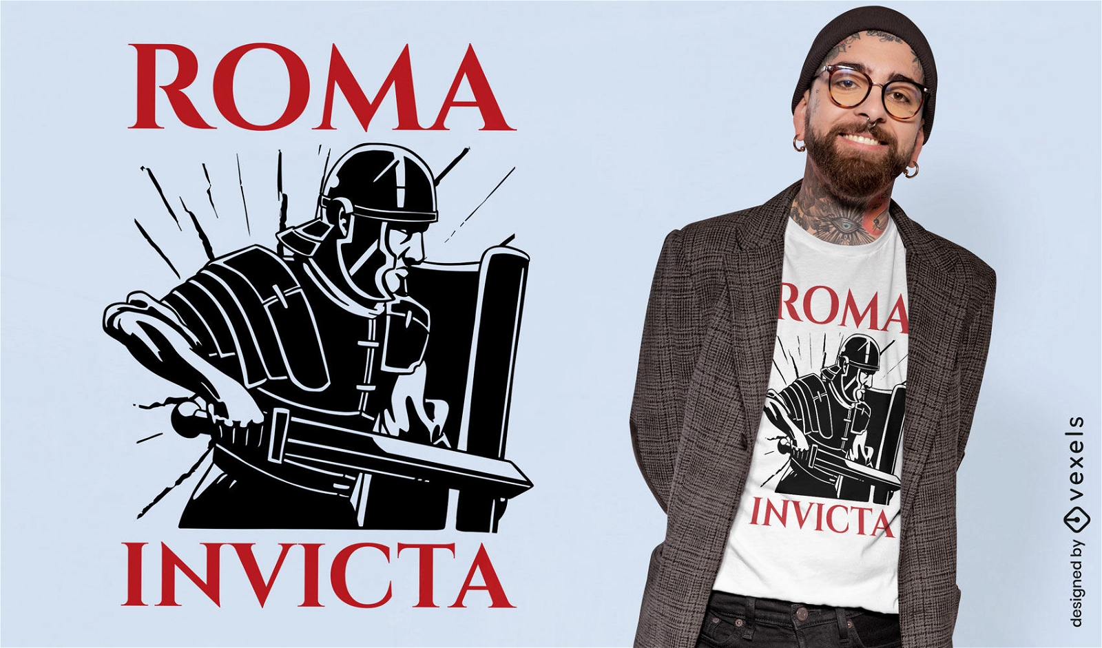
Design de camiseta invicta da Roma
Escolha uma pasta
Todos os favoritos
Criar novo
Salvar
Design de camiseta invicta da Roma
Pronto para imprimir
para Merch
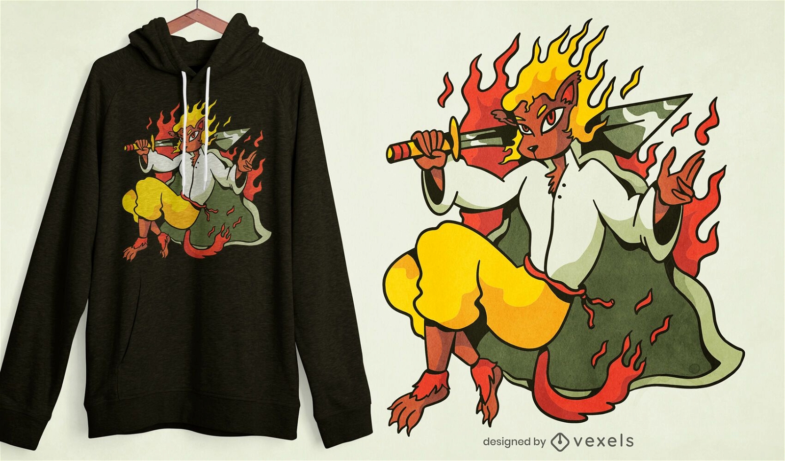
Design de camiseta do guerreiro Fire leon
Escolha uma pasta
Todos os favoritos
Criar novo
Salvar
Design de camiseta do guerreiro Fire leon
Pronto para imprimir
para Merch
Design de camiseta da preguiça Sparta
Escolha uma pasta
Todos os favoritos
Criar novo
Salvar
Design de camiseta da preguiça Sparta
Pronto para imprimir
para Merch
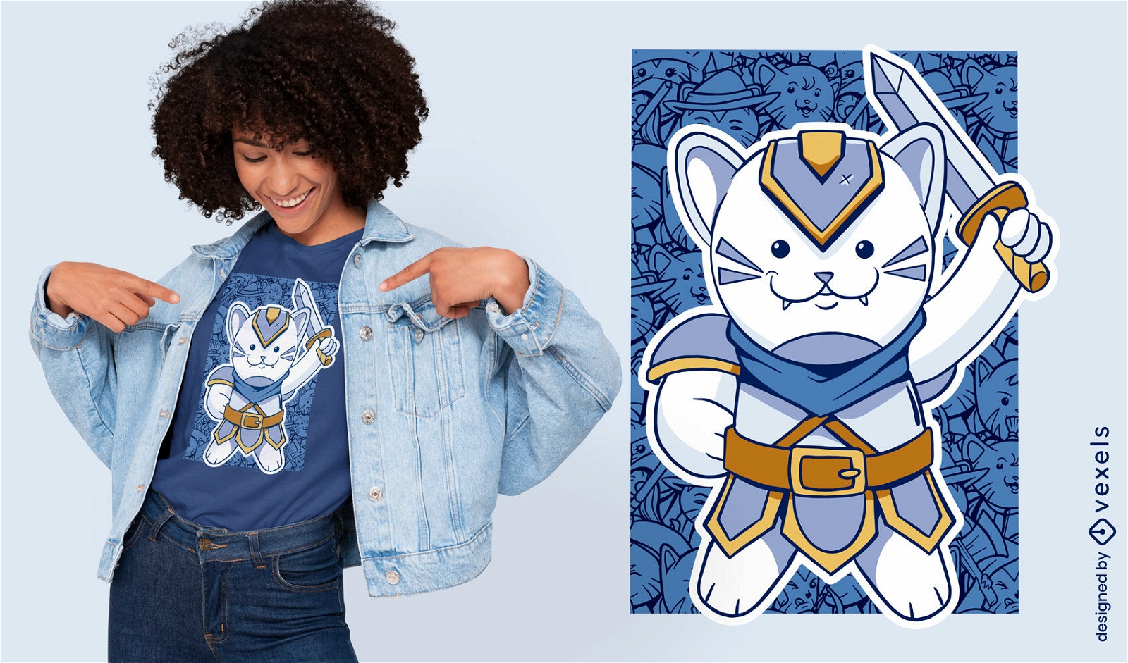
Design de camiseta de gato paladino
Escolha uma pasta
Todos os favoritos
Criar novo
Salvar
Design de camiseta de gato paladino
Pronto para imprimir
para Merch
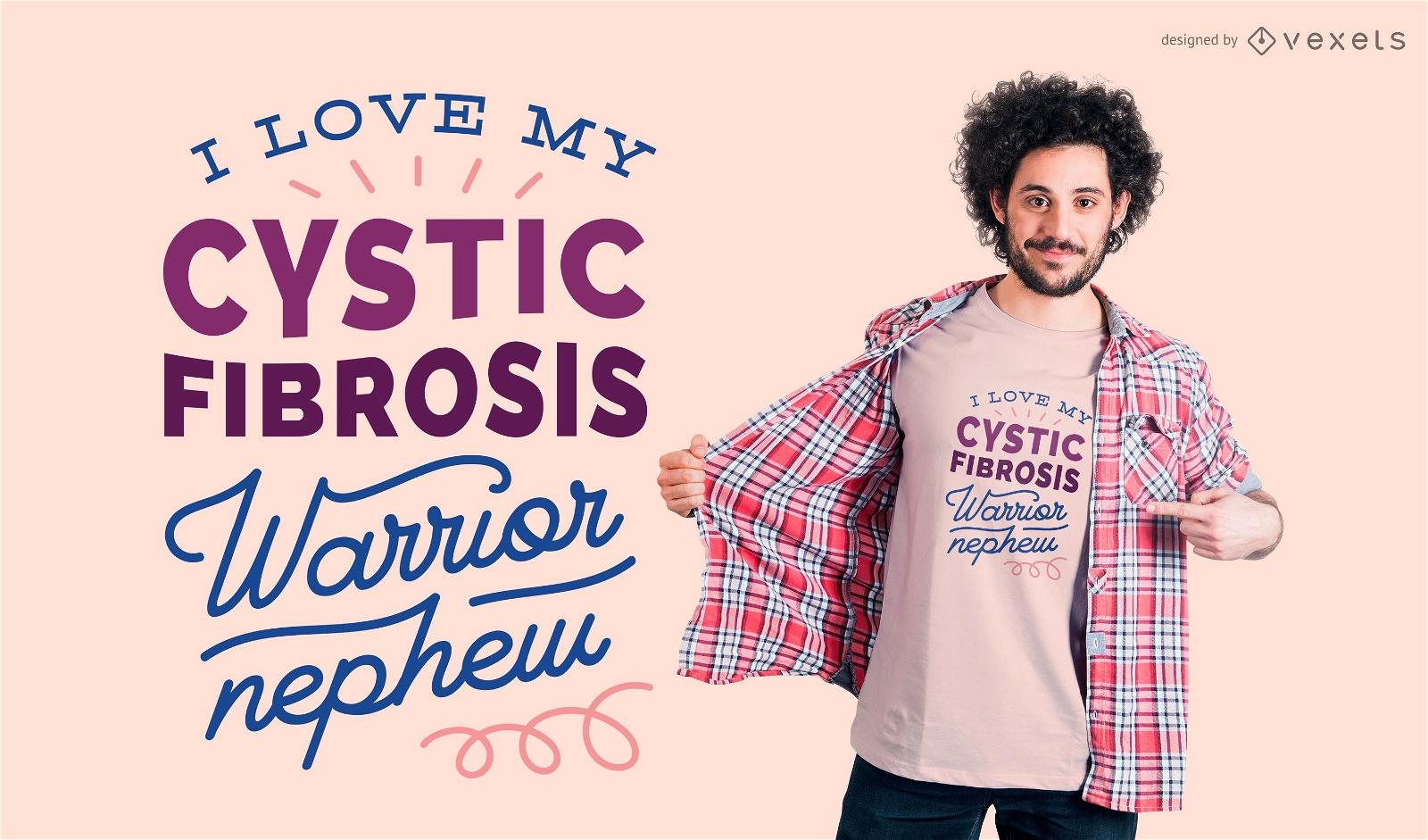
Design de camiseta para sobrinho guerreiro
Escolha uma pasta
Todos os favoritos
Criar novo
Salvar
Design de camiseta para sobrinho guerreiro
Pronto para imprimir
para Merch
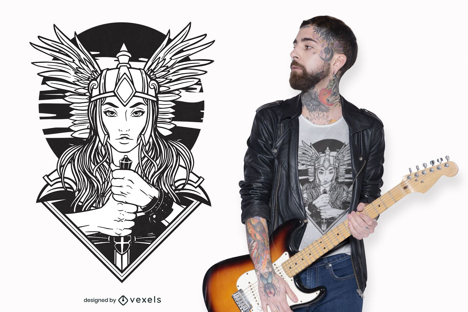
Design de camisetas Valquíria
Escolha uma pasta
Todos os favoritos
Criar novo
Salvar
Design de camisetas Valquíria
Pronto para imprimir
para Merch
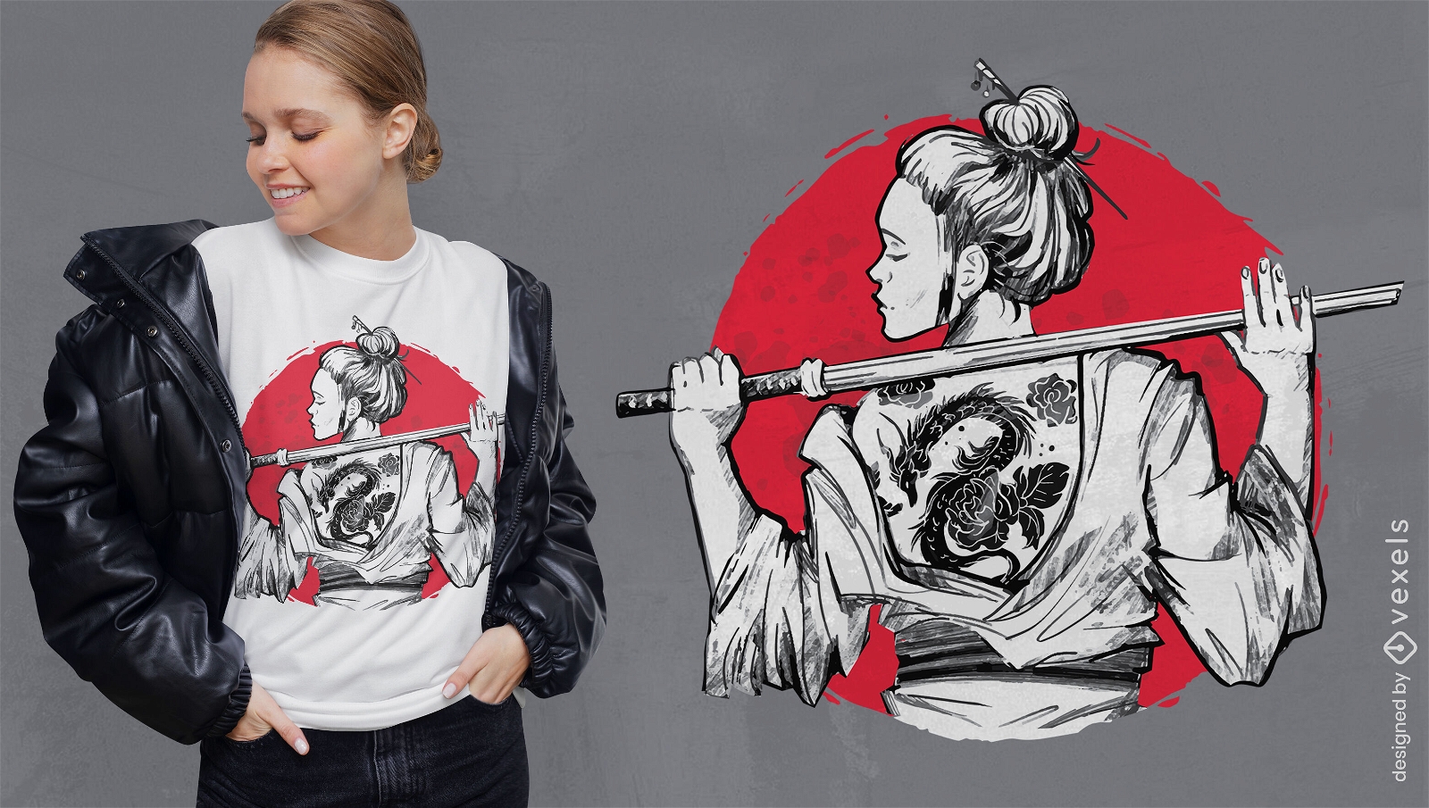
Samurai Girl com design de camiseta de tatuagem nas costas
Escolha uma pasta
Todos os favoritos
Criar novo
Salvar
Samurai Girl com design de camiseta de tatuagem nas costas
Pronto para imprimir
para Merch
Design de camiseta Viking com dois eixos
Escolha uma pasta
Todos os favoritos
Criar novo
Salvar
Design de camiseta Viking com dois eixos
texto editável
Pronto para imprimir
para Merch
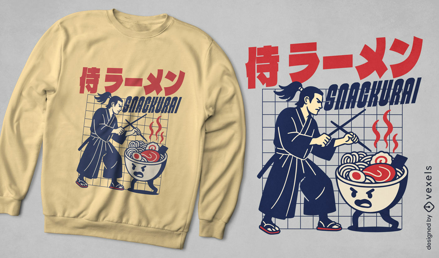
Design de camiseta com tigela de ramen de samurai
Escolha uma pasta
Todos os favoritos
Criar novo
Salvar
Design de camiseta com tigela de ramen de samurai
Pronto para imprimir
para Merch
Design de camiseta anime mulher samurai
Escolha uma pasta
Todos os favoritos
Criar novo
Salvar
Design de camiseta anime mulher samurai
Gerado por IA, selecionado por nossos designers.
para Merch
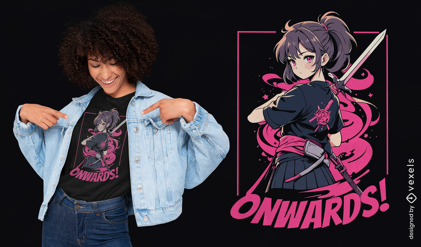
Design de camiseta de garota guerreira de anime
Escolha uma pasta
Todos os favoritos
Criar novo
Salvar
Design de camiseta de garota guerreira de anime
Pronto para imprimir
para Merch
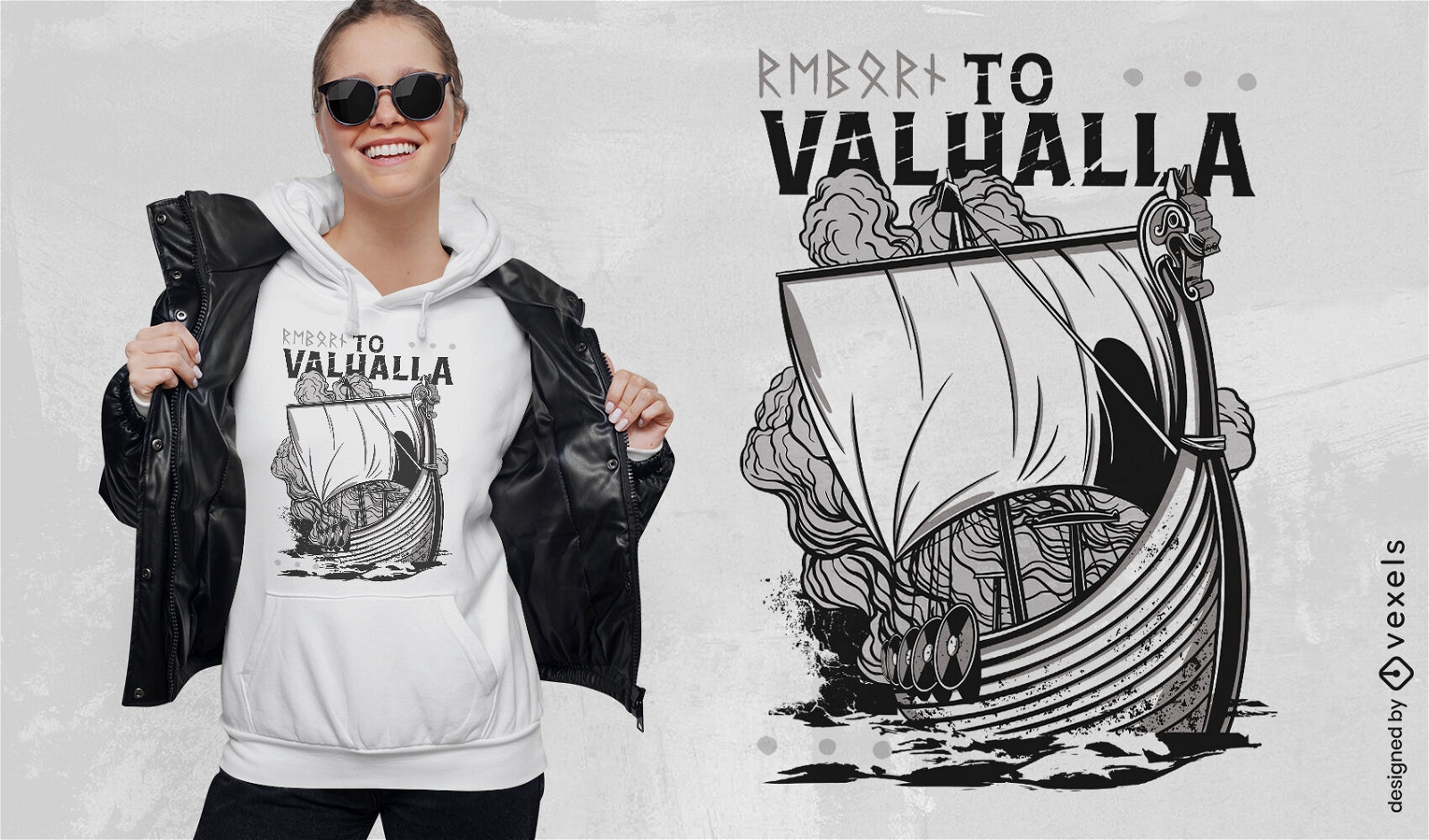
Design de camiseta de barco viking Valhalla
Escolha uma pasta
Todos os favoritos
Criar novo
Salvar
Design de camiseta de barco viking Valhalla
Impulsione seu negócio
Com a plataforma gráfica líder de mercado.
Ver planos
Próxima
do 8
prev page
next page