Biblioteca de design
Novos designs Merch
Camisetas
Vectores
Designs de Merch de Tendência
PNGs & SVGs
Mockups
Modelos de T-Shirt PSD
Explorar Desenhos
Designs KDP
Pôsteres
Canecas
Capas para celular
Sacos de compras
Almofadas
Ferramentas de desenho
Merch Designer
Novo!
Mockup Generator
Gerador de Design de AI
Vetorizador
Quote Generator
T-Shirt Maker (Antigo)
Ajuda
Merch Digest
Blog
Centro de Ajuda
Saiba mais sobre o Merch
Feedback
Soluções Corporativas
Empresa
Acesso à API
Estúdio de Design
Design em Lote
Preços
Carregando...
Inscrever-se
Conecte-se
Merch Vectors
guerrero
Biblioteca de design
Novos designs Merch
Camisetas
Vectores
Designs de Merch de Tendência
PNGs & SVGs
Mockups
Modelos de T-Shirt PSD
Explorar Desenhos
Designs KDP
Pôsteres
Canecas
Capas para celular
Sacos de compras
Almofadas
Ferramentas de desenho
Merch Designer
Novo!
Mockup Generator
Gerador de Design de AI
Vetorizador
Quote Generator
T-Shirt Maker (Antigo)
Ajuda
Merch Digest
Blog
Centro de Ajuda
Saiba mais sobre o Merch
Feedback
Soluções Corporativas
Empresa
Acesso à API
Estúdio de Design
Design em Lote
PLANOS
Merch Vectors
guerrero
369 Designs Vetoriais de guerrero para Camisetas e Merch
Baixar e comprar Designs Vetoriais AI de guerrero para Camisetas, Capas do Celular, Capas do Livros e outros produtos Merch
Ordenar por
Mais relevante
Resultados patrocinados da
Ganhe 15% de desconto com o código: VEXELS15
veja mais detalhes
Gerado por IA, selecionado por nossos designers.
para Merch
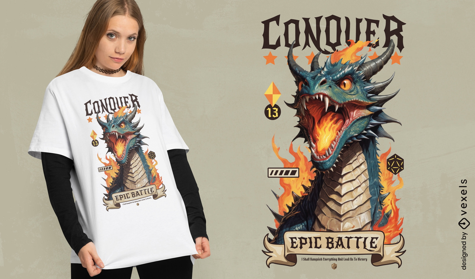
Design de camiseta de batalha épica de conquista de dragões
Escolha uma pasta
Todos os favoritos
Criar novo
Salvar
Design de camiseta de batalha épica de conquista de dragões
Pronto para imprimir
para Merch
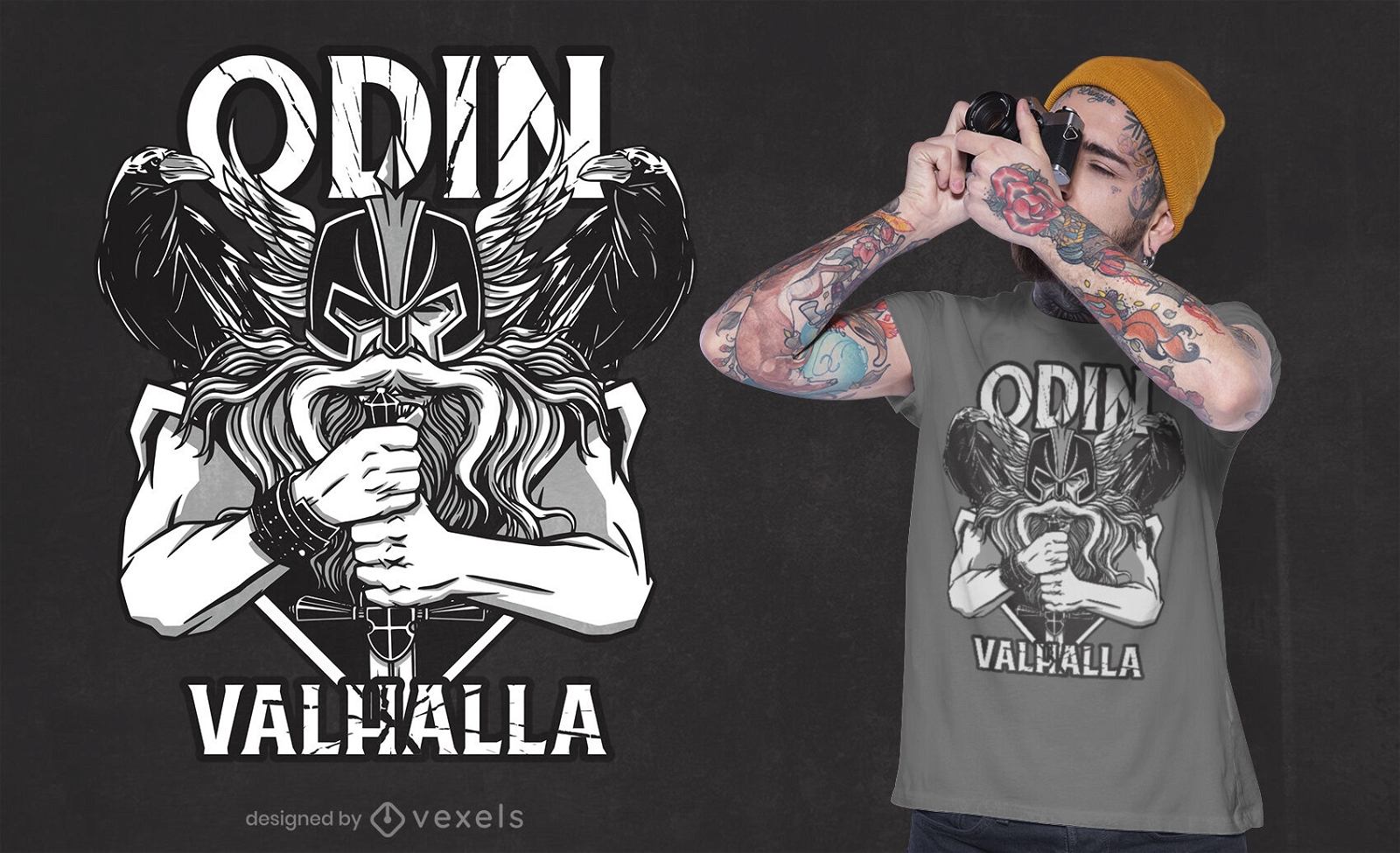
Design de camiseta viking Odin valhalla
Escolha uma pasta
Todos os favoritos
Criar novo
Salvar
Design de camiseta viking Odin valhalla
texto editável
Pronto para imprimir
para Merch
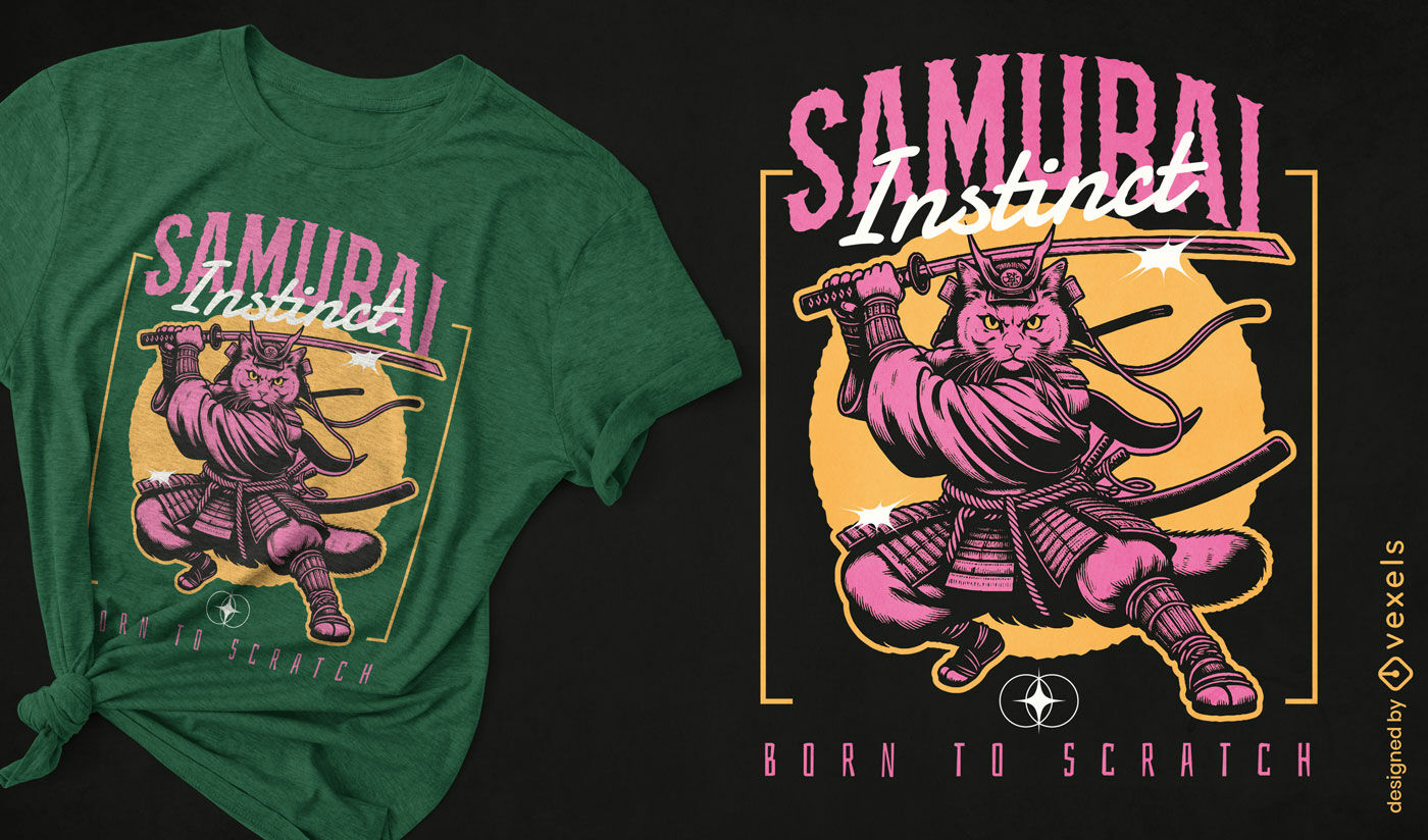
Design de camiseta com gato Samurai Instinct
Escolha uma pasta
Todos os favoritos
Criar novo
Salvar
Design de camiseta com gato Samurai Instinct
texto editável
Pronto para imprimir
para Merch
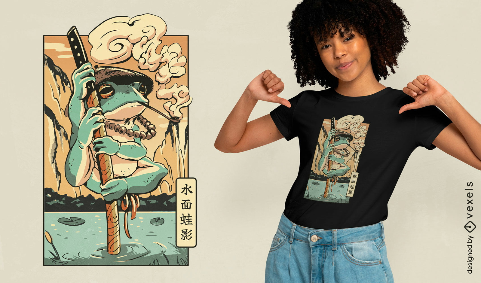
Design de camiseta japonesa de samurai sapo
Escolha uma pasta
Todos os favoritos
Criar novo
Salvar
Design de camiseta japonesa de samurai sapo
texto editável
Pronto para imprimir
para Merch
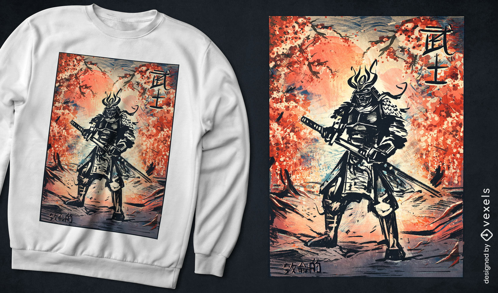
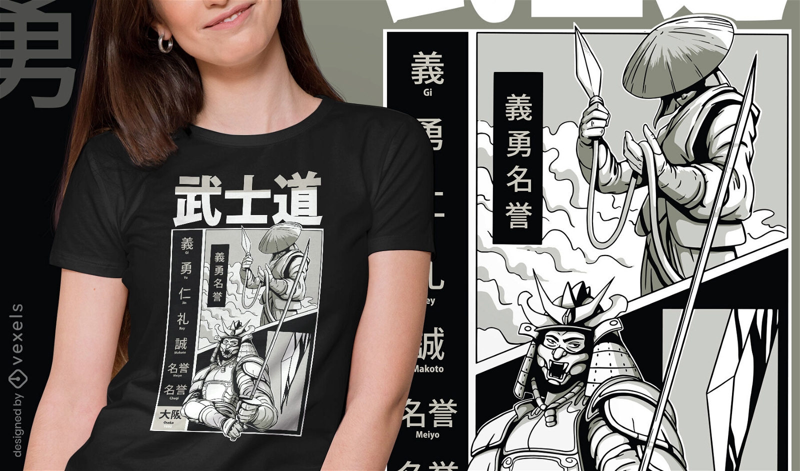
Design de camiseta de batalha de samurai tradicional japonês
Escolha uma pasta
Todos os favoritos
Criar novo
Salvar
Design de camiseta de batalha de samurai tradicional japonês
Pronto para imprimir
para Merch
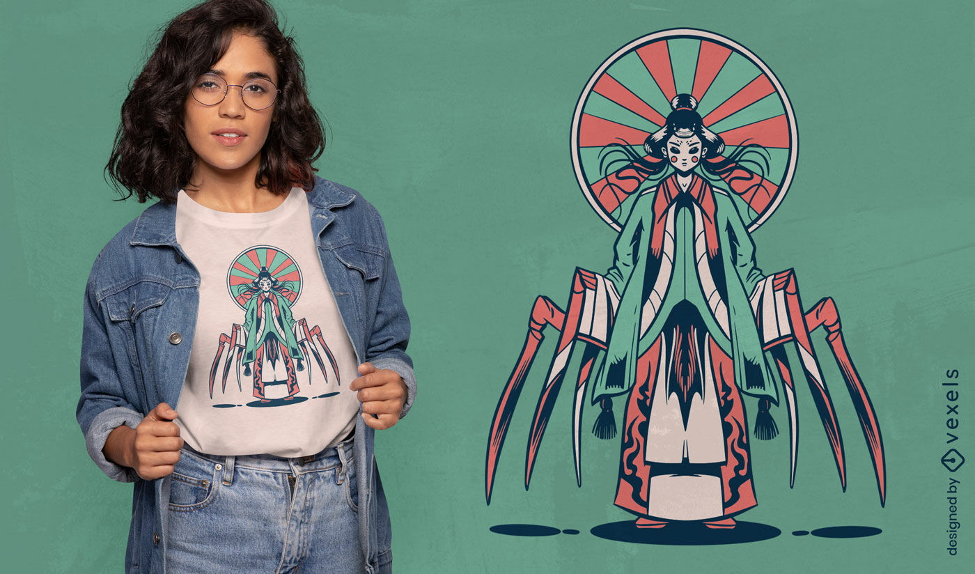
Design de camiseta Jorogumo
Escolha uma pasta
Todos os favoritos
Criar novo
Salvar
Design de camiseta Jorogumo
Pronto para imprimir
para Merch
Design de camiseta com caveira Viking
Escolha uma pasta
Todos os favoritos
Criar novo
Salvar
Design de camiseta com caveira Viking
Pronto para imprimir
para Merch
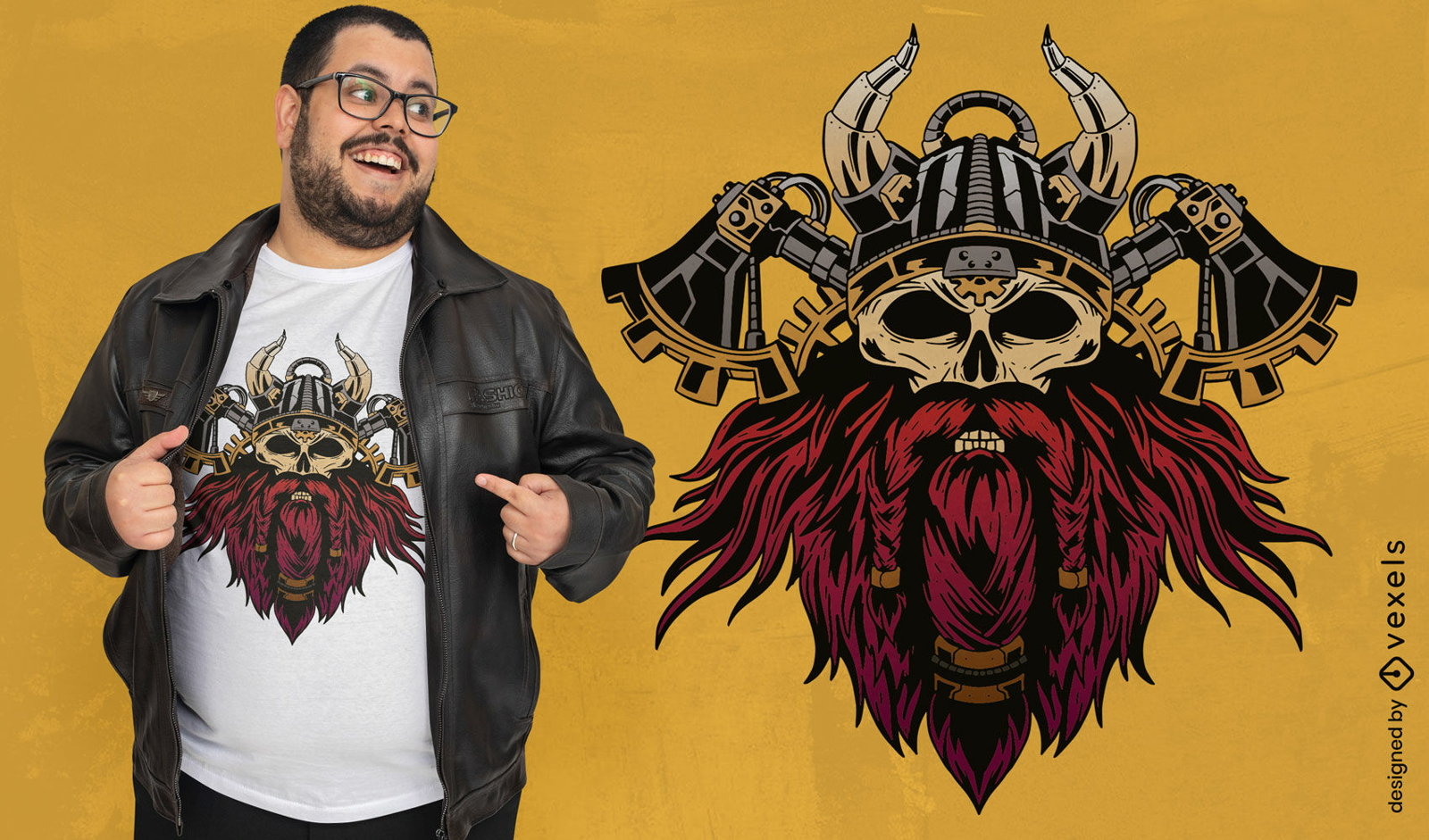
Design de camiseta de caveira Steampunk Viking
Escolha uma pasta
Todos os favoritos
Criar novo
Salvar
Design de camiseta de caveira Steampunk Viking
Pronto para imprimir
para Merch
Desenho de t-shirt desenhada à mão para mulher guerreira viking
Escolha uma pasta
Todos os favoritos
Criar novo
Salvar
Desenho de t-shirt desenhada à mão para mulher guerreira viking
Pronto para imprimir
para Merch
Mulher viking com design de camiseta de espada e escudo
Escolha uma pasta
Todos os favoritos
Criar novo
Salvar
Mulher viking com design de camiseta de espada e escudo
Pronto para imprimir
para Merch
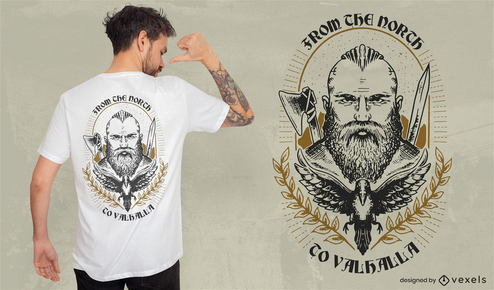
Design de camiseta Viking do norte ao Valhalla
Escolha uma pasta
Todos os favoritos
Criar novo
Salvar
Design de camiseta Viking do norte ao Valhalla
Pronto para imprimir
para Merch
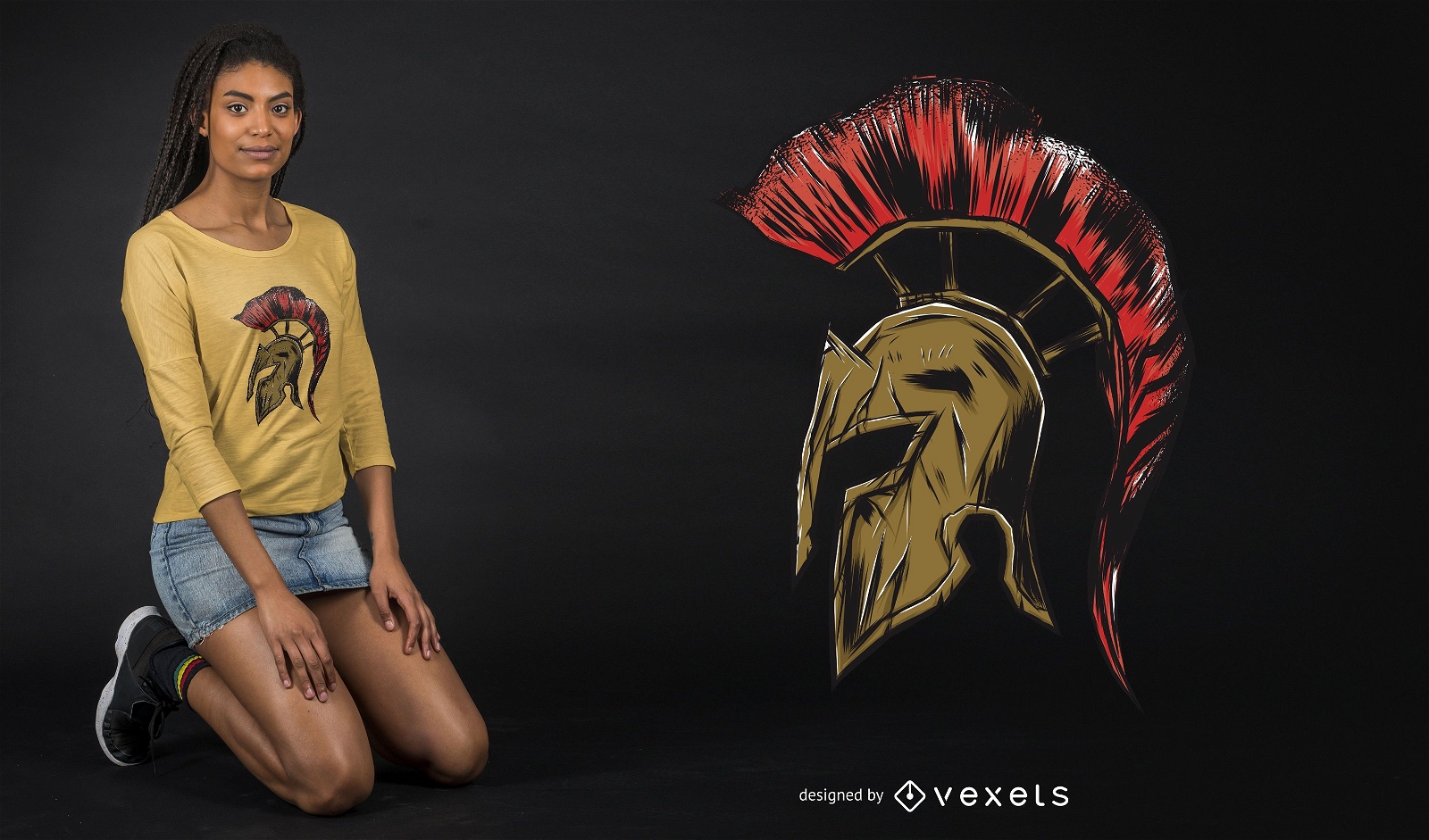
Design de camiseta com ilustração de capacete espartano
Escolha uma pasta
Todos os favoritos
Criar novo
Salvar
Design de camiseta com ilustração de capacete espartano
Pronto para imprimir
para Merch
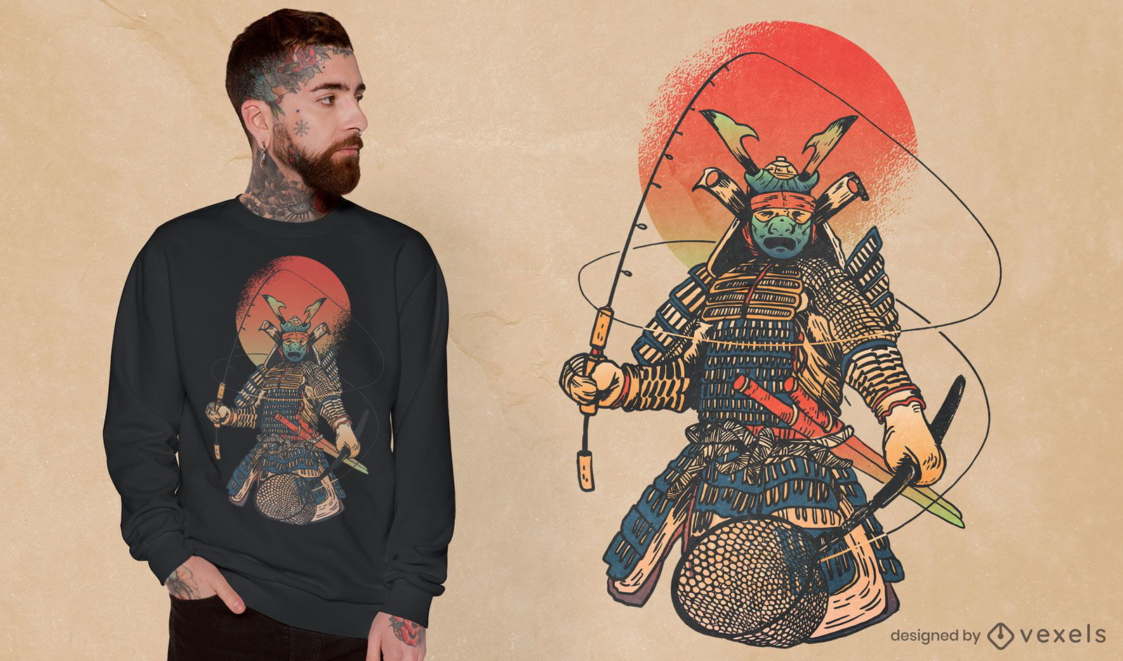
Design de camiseta de pesca guerreiro samurai
Escolha uma pasta
Todos os favoritos
Criar novo
Salvar
Design de camiseta de pesca guerreiro samurai
texto editável
Pronto para imprimir
para Merch
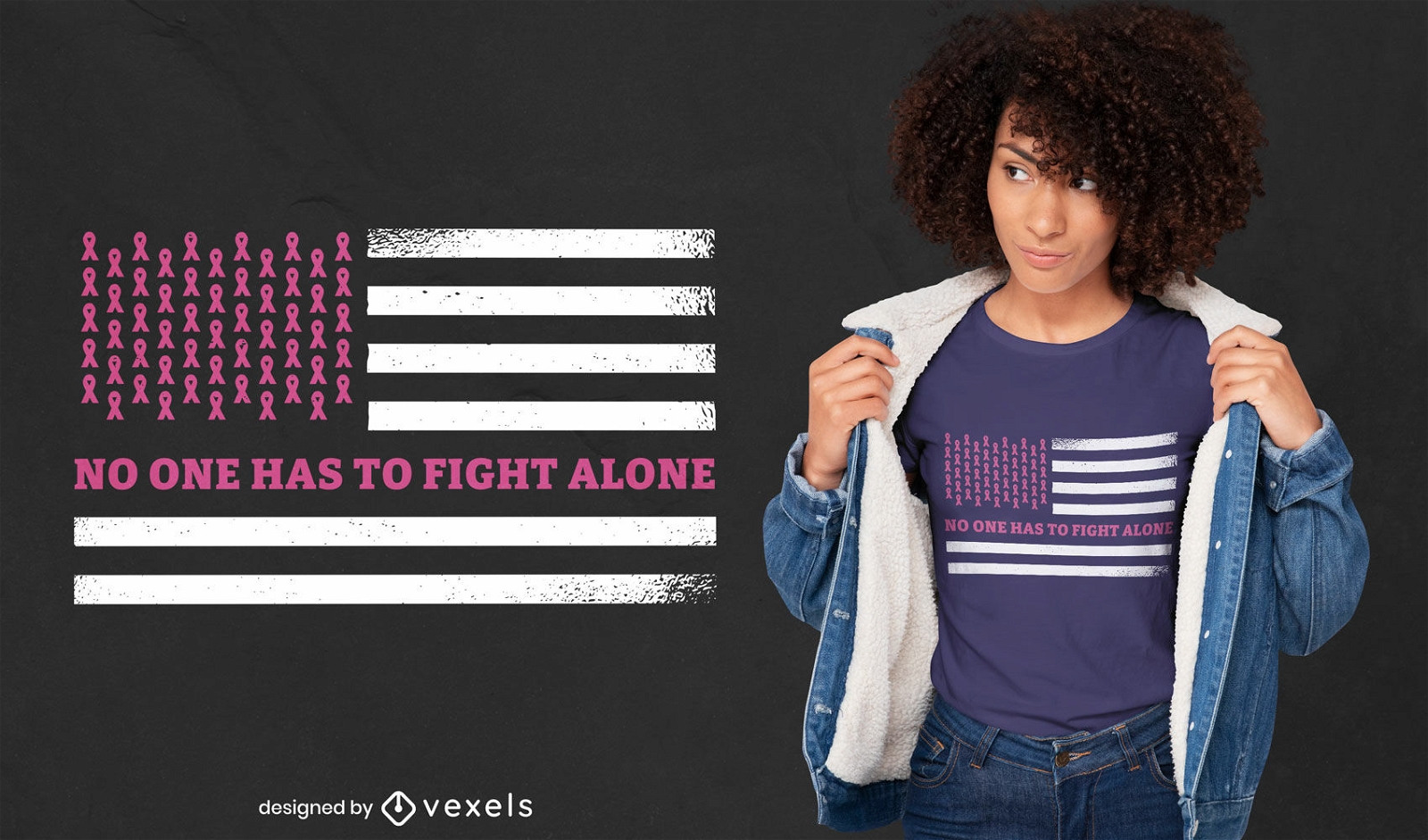
Design de t-shirt da bandeira americana para cancro da mama
Escolha uma pasta
Todos os favoritos
Criar novo
Salvar
Design de t-shirt da bandeira americana para cancro da mama
Pronto para imprimir
para Merch
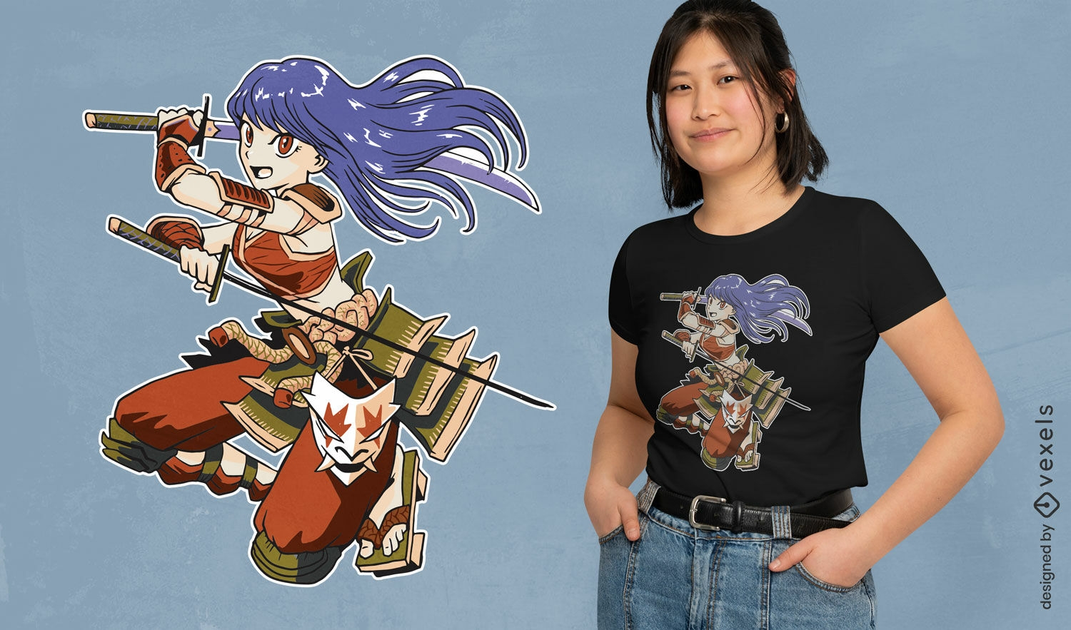
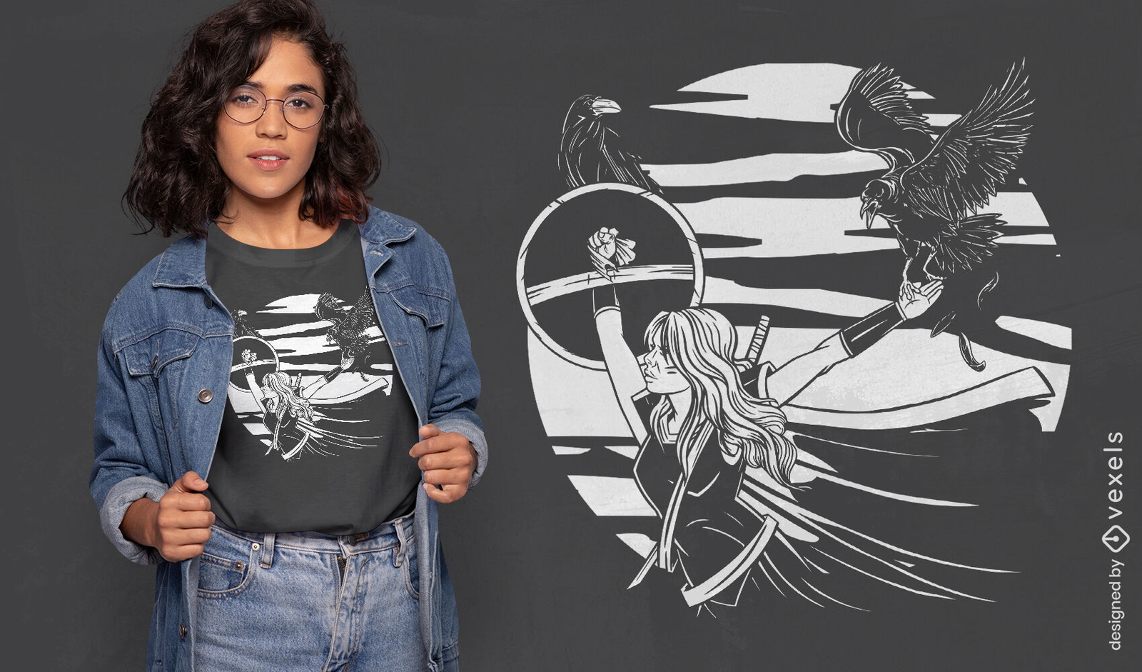
Design de camiseta de mulher de anime samurai
Escolha uma pasta
Todos os favoritos
Criar novo
Salvar
Design de camiseta de mulher de anime samurai
Pronto para imprimir
para Merch
Design de ilustração tradicional de samurai
Escolha uma pasta
Todos os favoritos
Criar novo
Salvar
Design de ilustração tradicional de samurai
Pronto para imprimir
para Merch
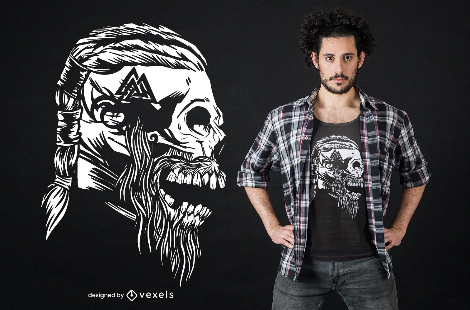
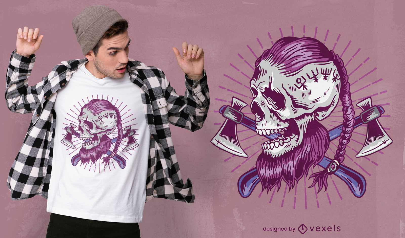
Crânio viking com design de camiseta trançada
Escolha uma pasta
Todos os favoritos
Criar novo
Salvar
Crânio viking com design de camiseta trançada
Pronto para imprimir
para Merch
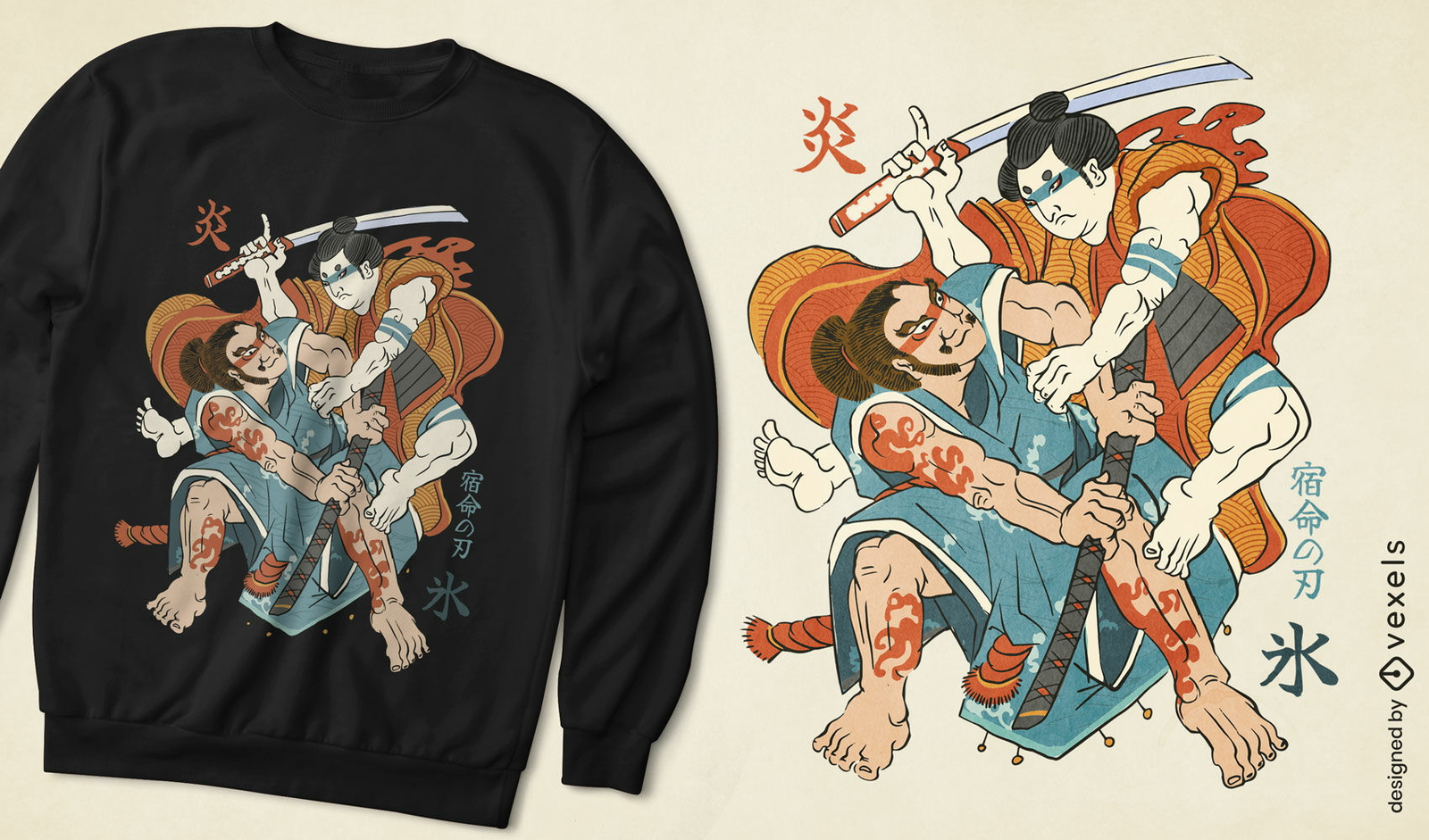
Design de camiseta de dois guerreiros japoneses
Escolha uma pasta
Todos os favoritos
Criar novo
Salvar
Design de camiseta de dois guerreiros japoneses
Pronto para imprimir
para Merch
Design fixe de t-shirt de lhama de guerra
Escolha uma pasta
Todos os favoritos
Criar novo
Salvar
Design fixe de t-shirt de lhama de guerra
Pronto para imprimir
para Merch
Design de t-shirt Samurai splash
Escolha uma pasta
Todos os favoritos
Criar novo
Salvar
Design de t-shirt Samurai splash
texto editável
Pronto para imprimir
para Merch
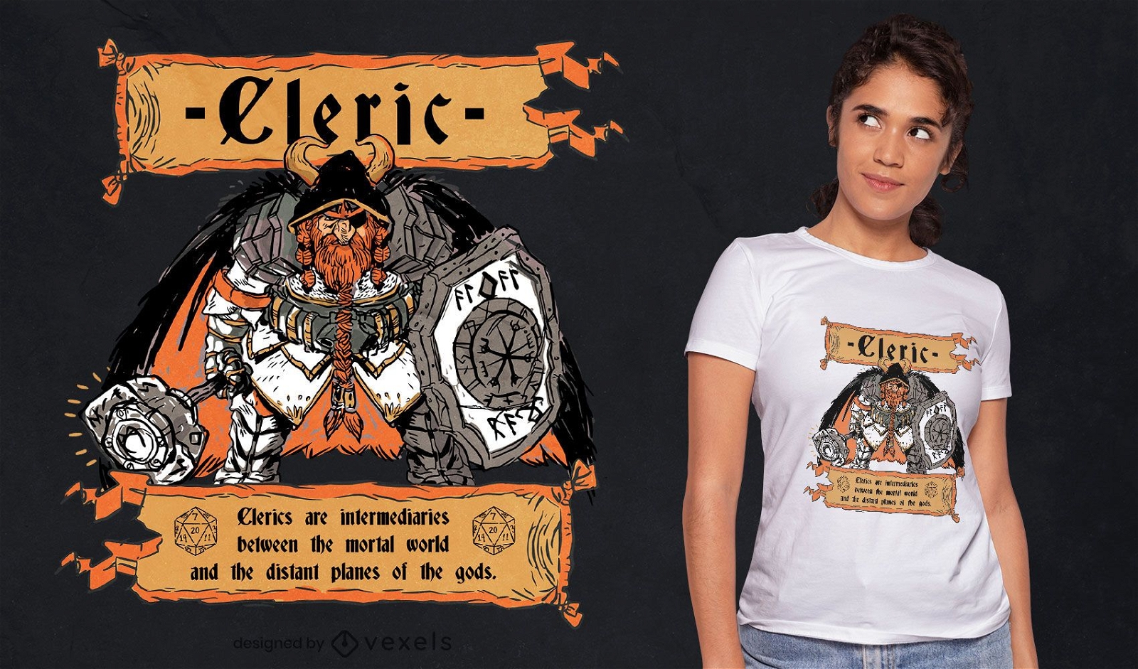
Design de camiseta de personagem RPG de fantasia clérigo
Escolha uma pasta
Todos os favoritos
Criar novo
Salvar
Design de camiseta de personagem RPG de fantasia clérigo
Pronto para imprimir
para Merch
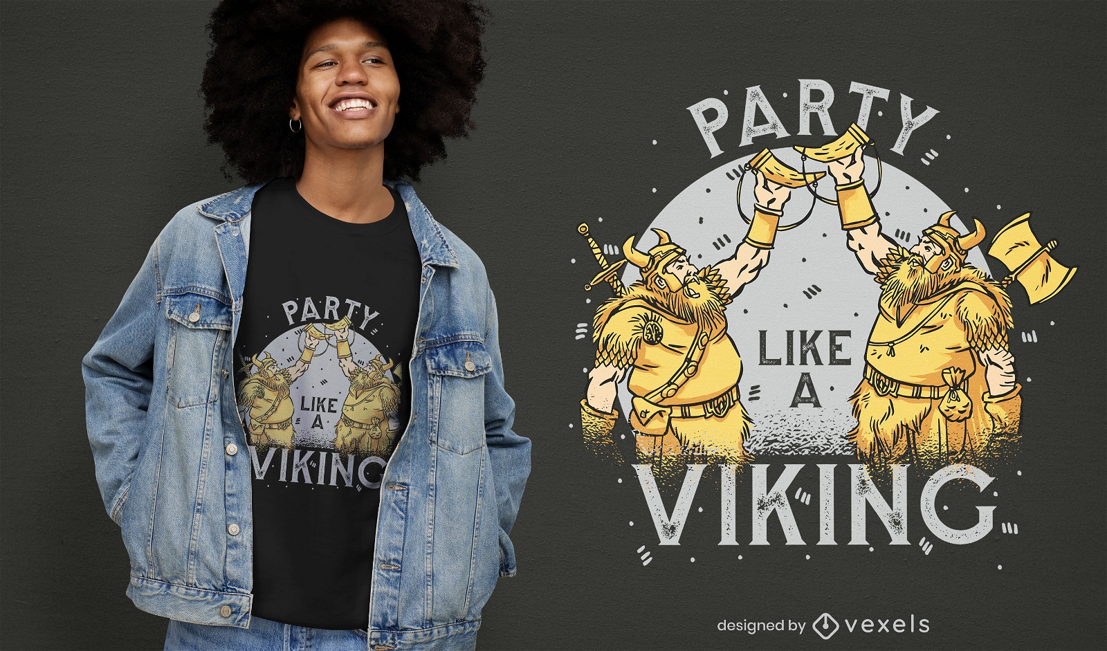
Design de camisetas para festas de guerreiros vikings
Escolha uma pasta
Todos os favoritos
Criar novo
Salvar
Design de camisetas para festas de guerreiros vikings
texto editável
Pronto para imprimir
para Merch
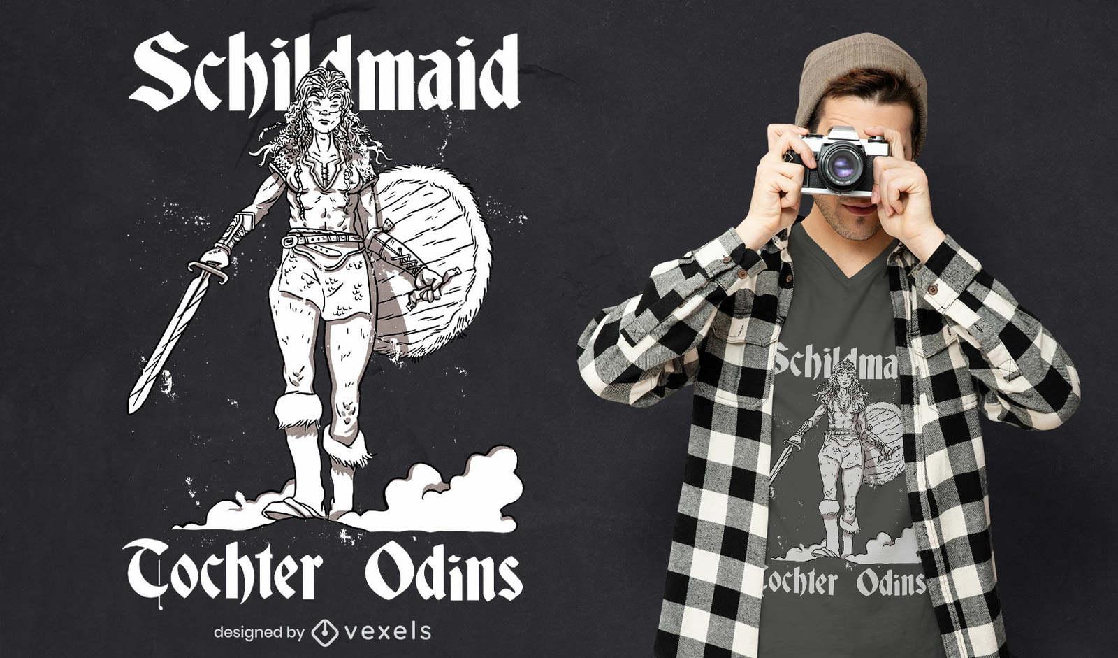
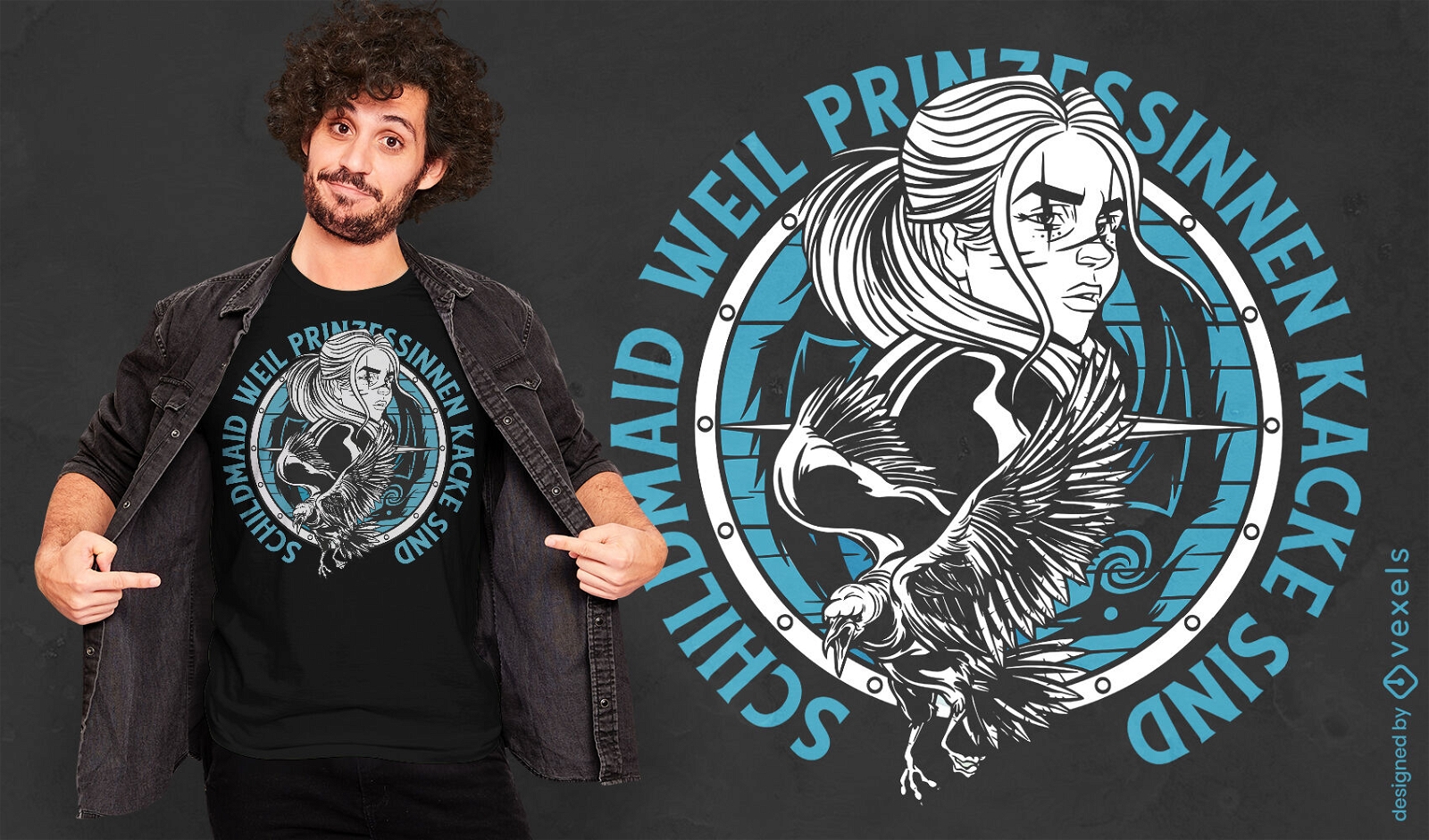
Design de camiseta de mulher viking Shieldmaiden
Escolha uma pasta
Todos os favoritos
Criar novo
Salvar
Design de camiseta de mulher viking Shieldmaiden
Pronto para imprimir
para Merch
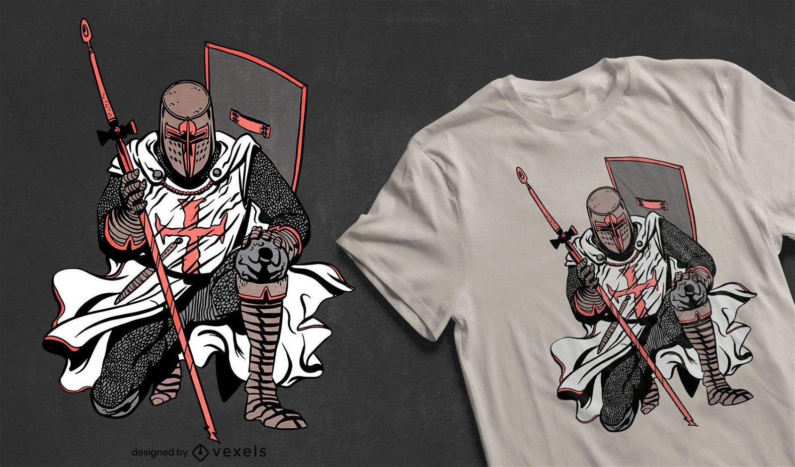
Design de camiseta do cavaleiro cruzado
Escolha uma pasta
Todos os favoritos
Criar novo
Salvar
Design de camiseta do cavaleiro cruzado
Pronto para imprimir
para Merch
Design de camiseta com caveira de samurai
Escolha uma pasta
Todos os favoritos
Criar novo
Salvar
Design de camiseta com caveira de samurai
Pronto para imprimir
para Merch
Design de camiseta Samurai Katana
Escolha uma pasta
Todos os favoritos
Criar novo
Salvar
Design de camiseta Samurai Katana
Pronto para imprimir
para Merch
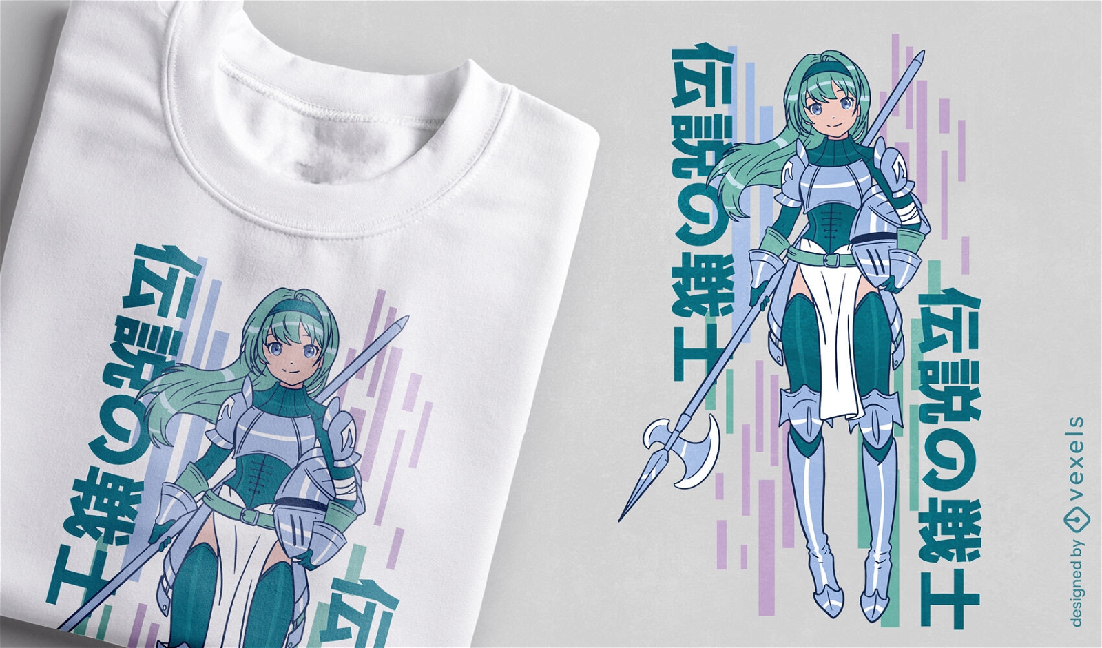
Design de camiseta de cavaleiro de menina de anime
Escolha uma pasta
Todos os favoritos
Criar novo
Salvar
Design de camiseta de cavaleiro de menina de anime
Pronto para imprimir
para Merch
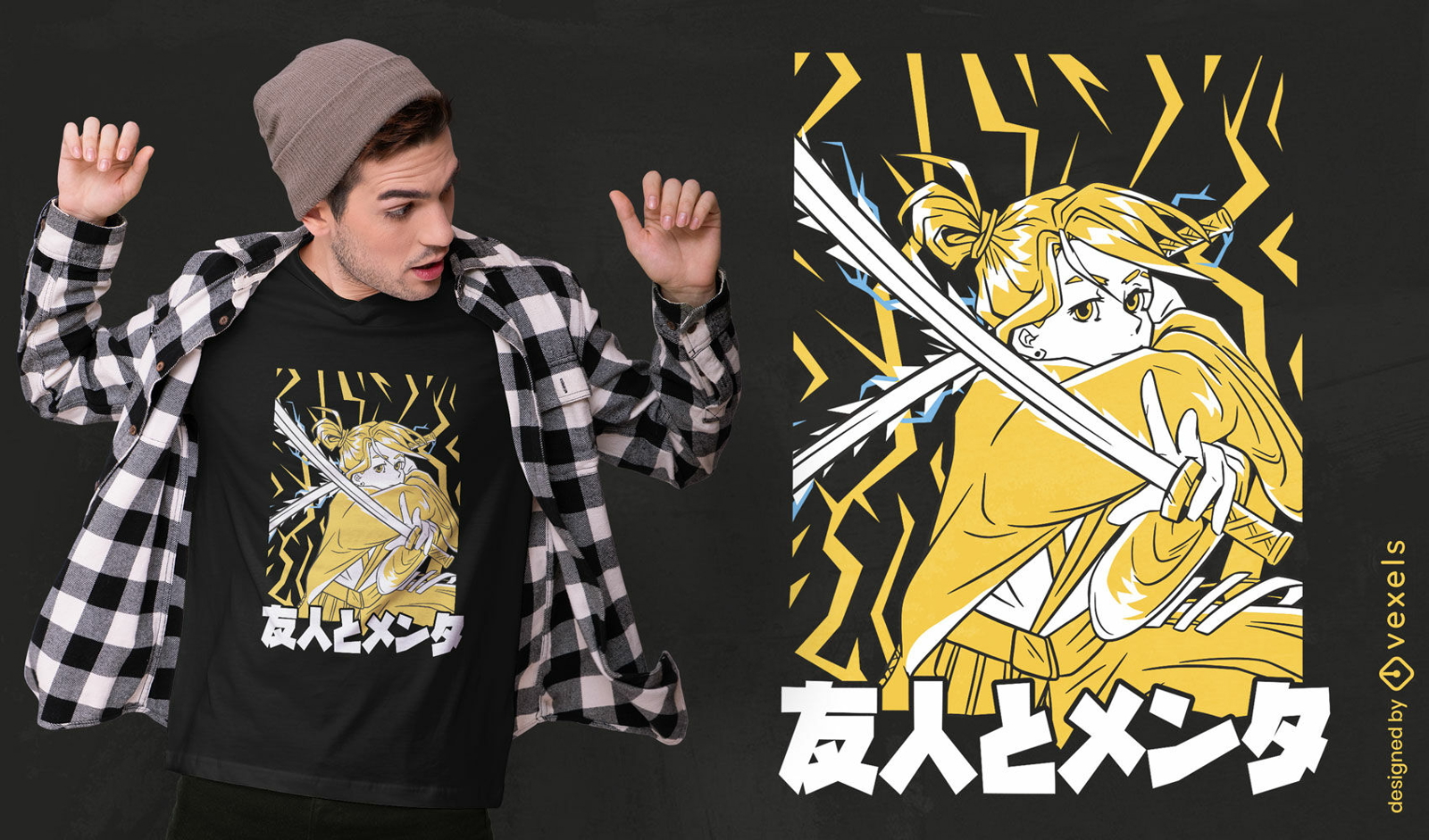
Design de camiseta de anime samurai girl
Escolha uma pasta
Todos os favoritos
Criar novo
Salvar
Design de camiseta de anime samurai girl
texto editável
Pronto para imprimir
para Merch
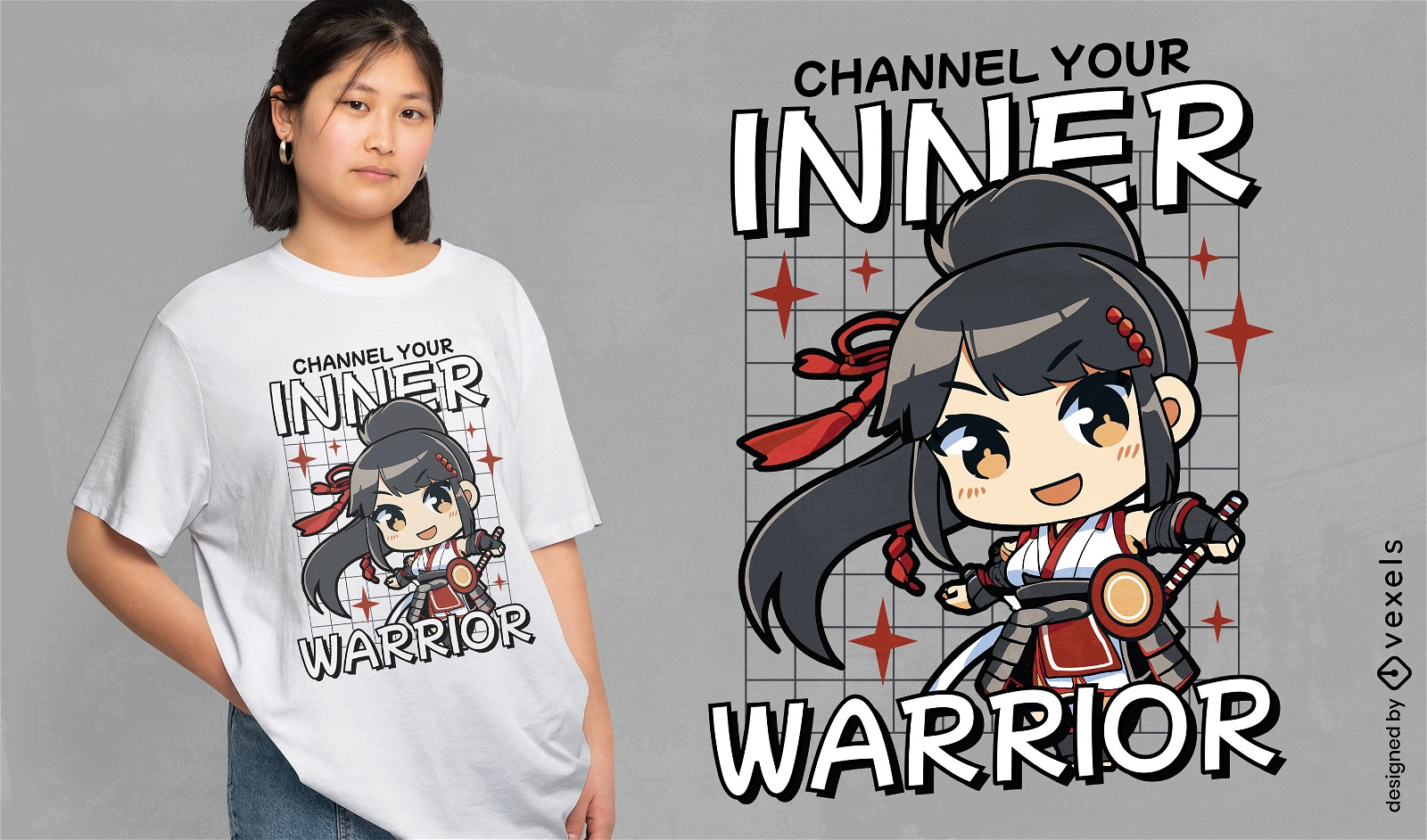
Design de camiseta guerreira Chibi samurai girl
Escolha uma pasta
Todos os favoritos
Criar novo
Salvar
Design de camiseta guerreira Chibi samurai girl
Pronto para imprimir
para Merch
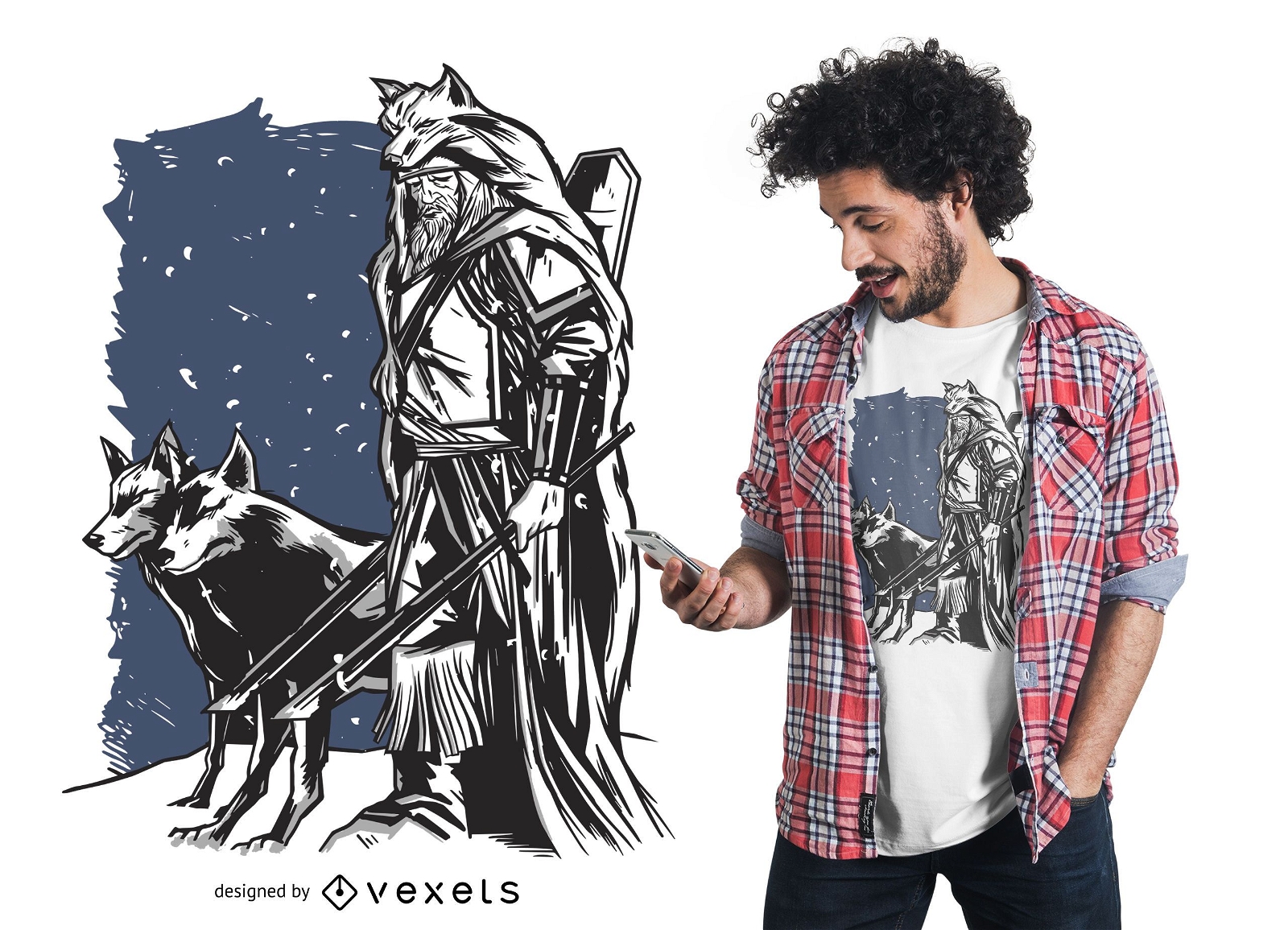
Design de camisetas de viking e lobos
Escolha uma pasta
Todos os favoritos
Criar novo
Salvar
Design de camisetas de viking e lobos
Pronto para imprimir
para Merch
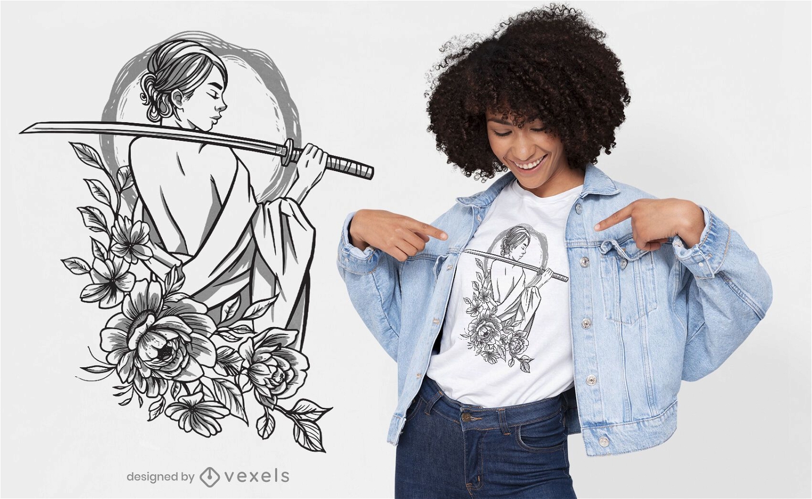
Desenho de t-shirt com flores de mulher samurai
Escolha uma pasta
Todos os favoritos
Criar novo
Salvar
Desenho de t-shirt com flores de mulher samurai
Pronto para imprimir
para Merch
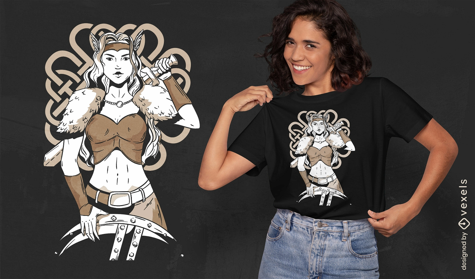
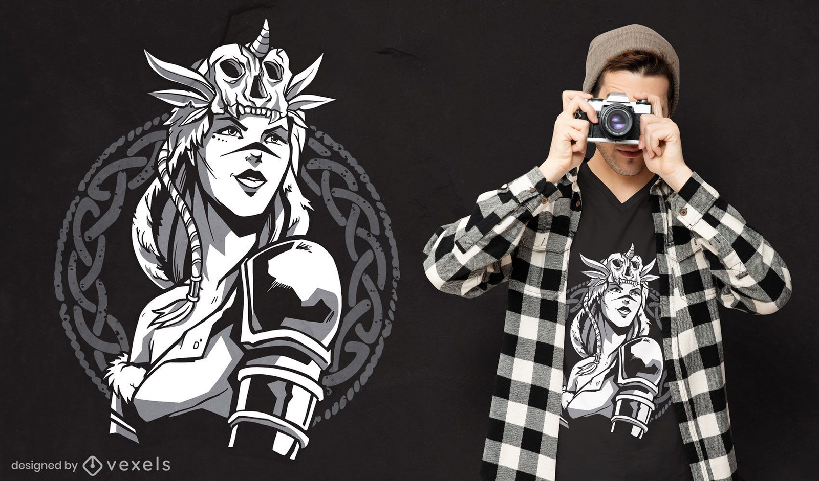
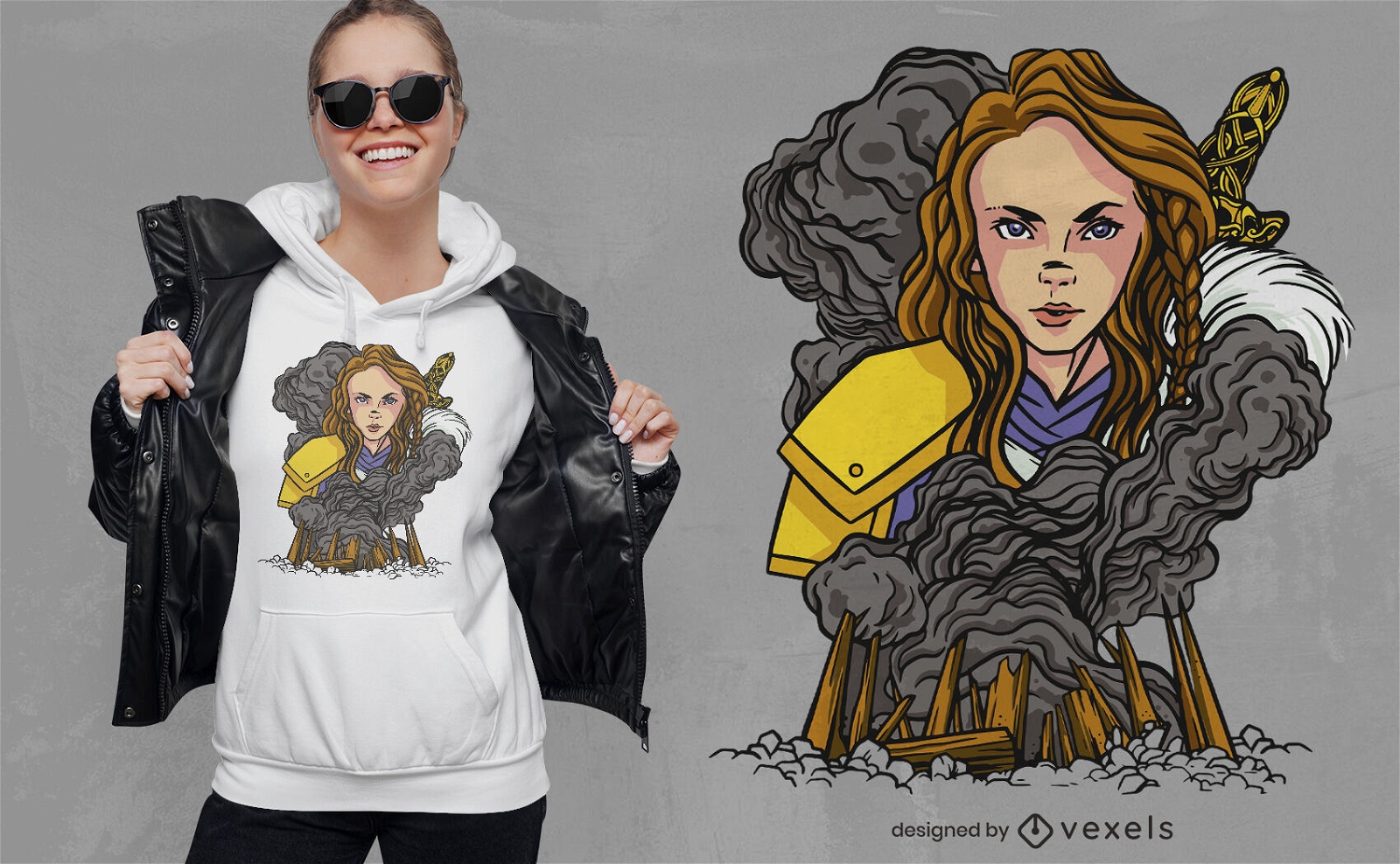
Design de t-shirt de mulher guerreira escandinava
Escolha uma pasta
Todos os favoritos
Criar novo
Salvar
Design de t-shirt de mulher guerreira escandinava
Pronto para imprimir
para Merch
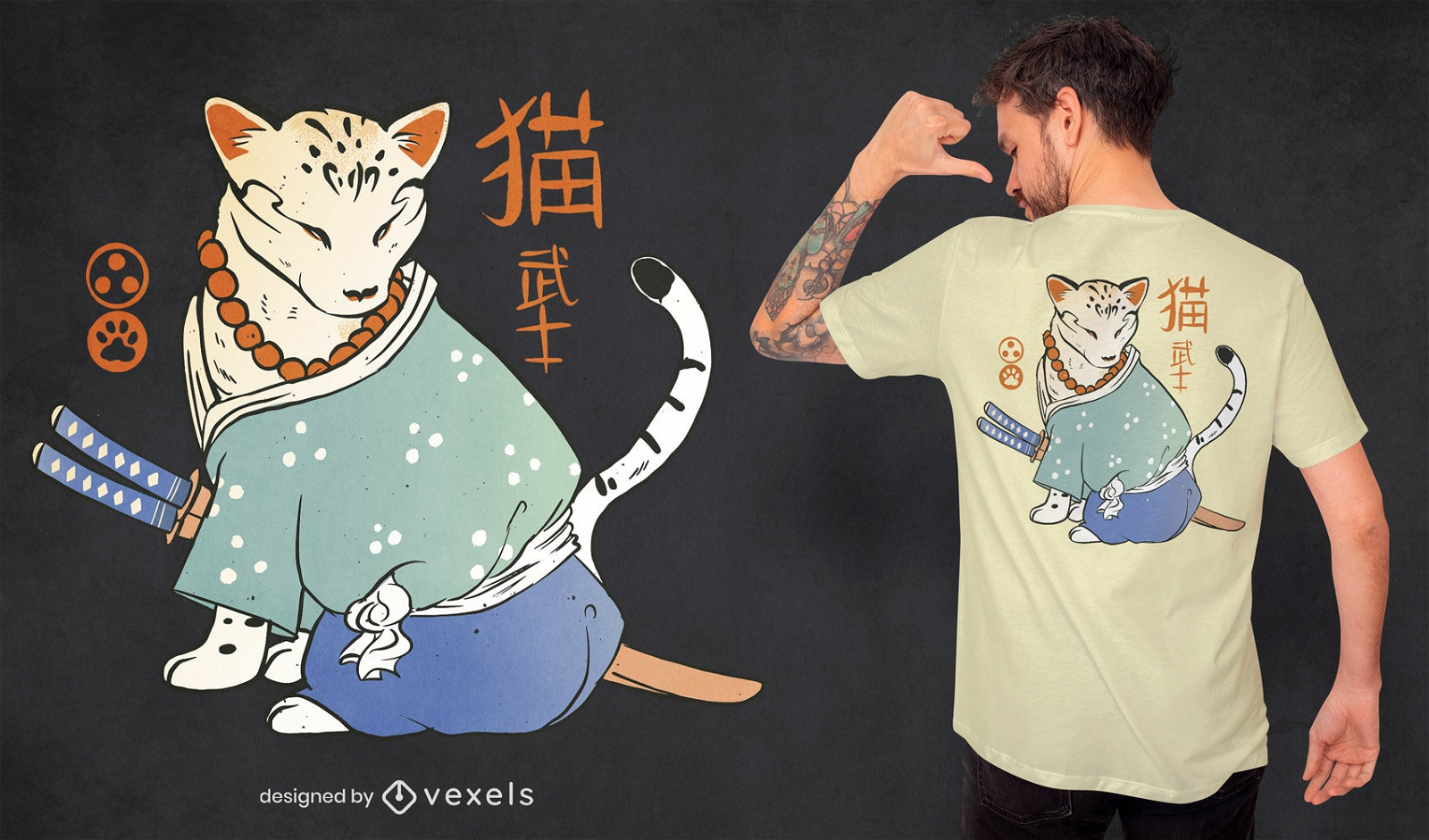
Design de camiseta japonesa de gato samurai
Escolha uma pasta
Todos os favoritos
Criar novo
Salvar
Design de camiseta japonesa de gato samurai
Pronto para imprimir
para Merch
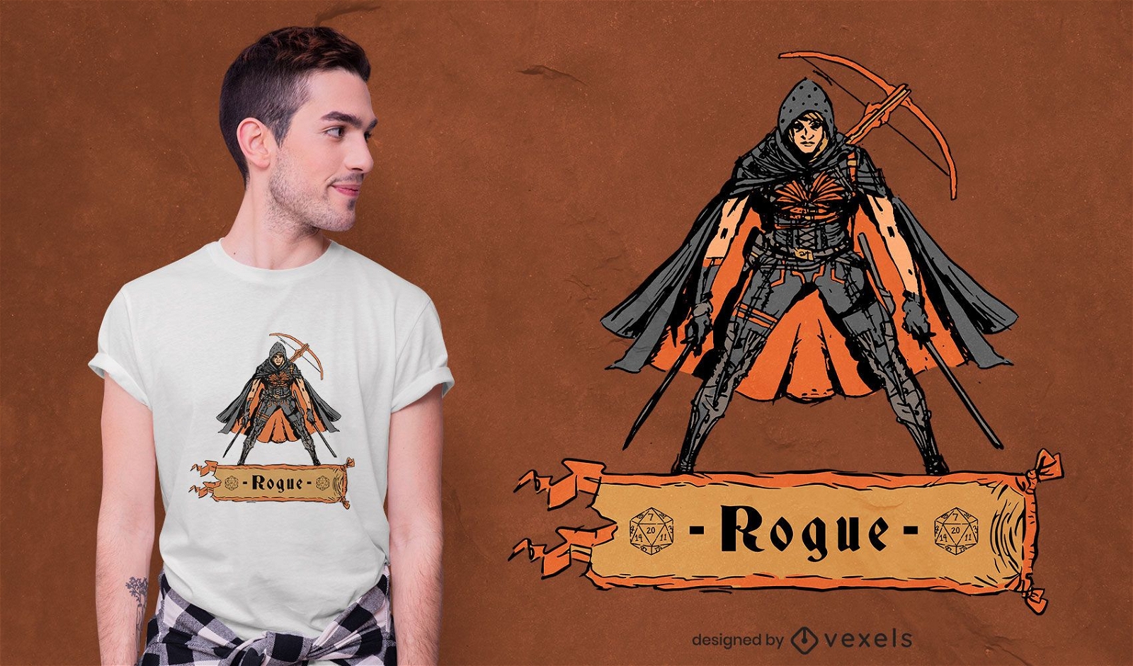
Design de camiseta de personagem Rogue Rogue
Escolha uma pasta
Todos os favoritos
Criar novo
Salvar
Design de camiseta de personagem Rogue Rogue
Pronto para imprimir
para Merch
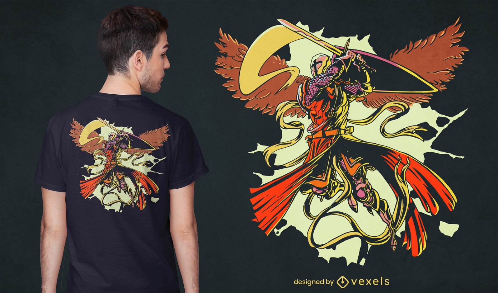
Design de t-shirt Fightitng Saint Michael
Escolha uma pasta
Todos os favoritos
Criar novo
Salvar
Design de t-shirt Fightitng Saint Michael
Pronto para imprimir
para Merch
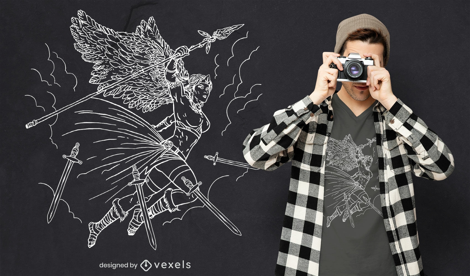
Desenho de t-shirt com linha de arte de personagem guerreiro anjo
Escolha uma pasta
Todos os favoritos
Criar novo
Salvar
Desenho de t-shirt com linha de arte de personagem guerreiro anjo
Pronto para imprimir
para Merch
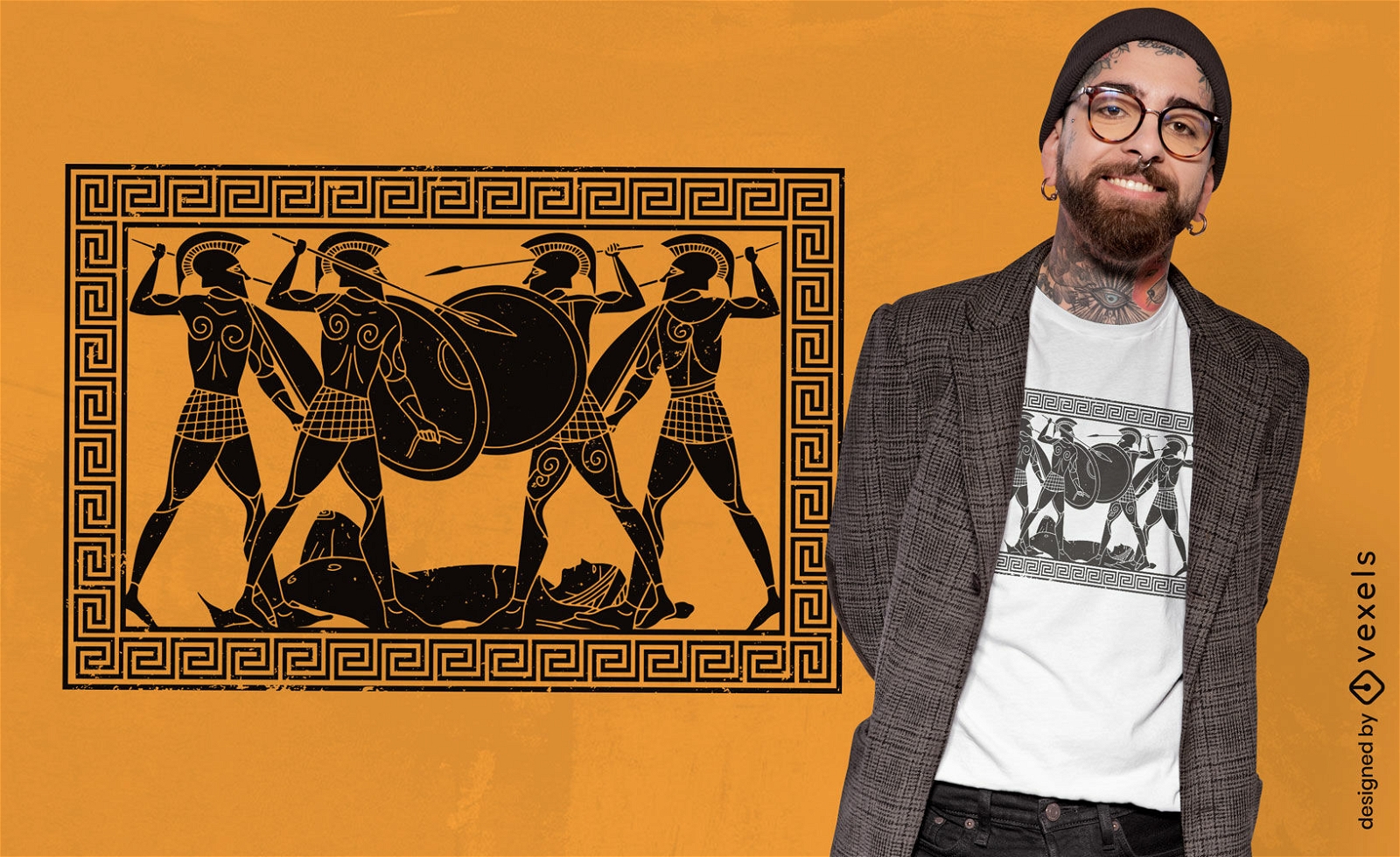
Design de camiseta de guerreiros da mitologia grega
Escolha uma pasta
Todos os favoritos
Criar novo
Salvar
Design de camiseta de guerreiros da mitologia grega
Conteúdo em alemão
Pronto para imprimir
para Merch
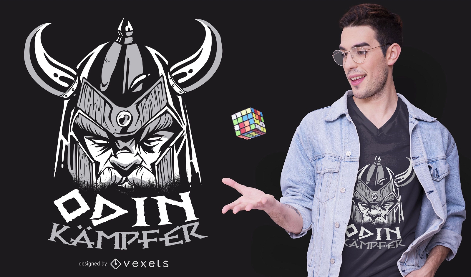
Design de camisetas alemãs de Odin Fighter
Escolha uma pasta
Todos os favoritos
Criar novo
Salvar
Design de camisetas alemãs de Odin Fighter
Pronto para imprimir
para Merch
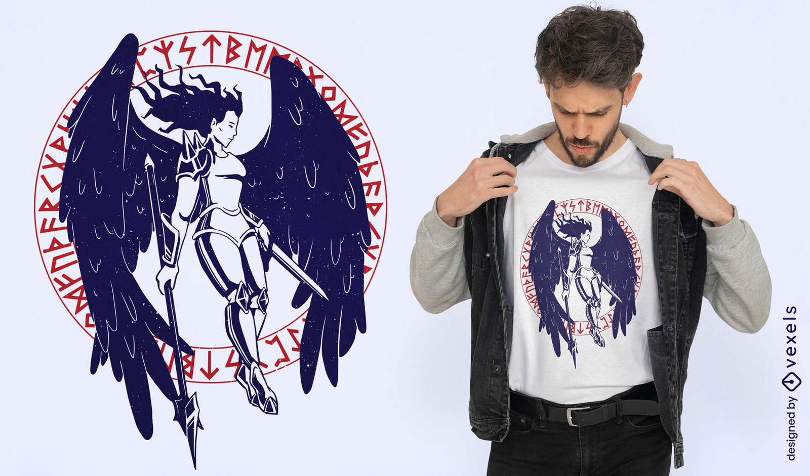
Valquíria com design de camiseta de asas grandes
Escolha uma pasta
Todos os favoritos
Criar novo
Salvar
Valquíria com design de camiseta de asas grandes
Pronto para imprimir
para Merch
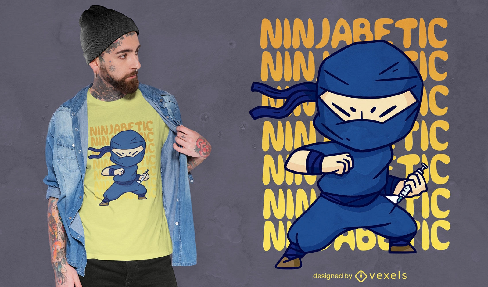
Design de camiseta de personagem de desenho animado Ninja
Escolha uma pasta
Todos os favoritos
Criar novo
Salvar
Design de camiseta de personagem de desenho animado Ninja
Pronto para imprimir
para Merch
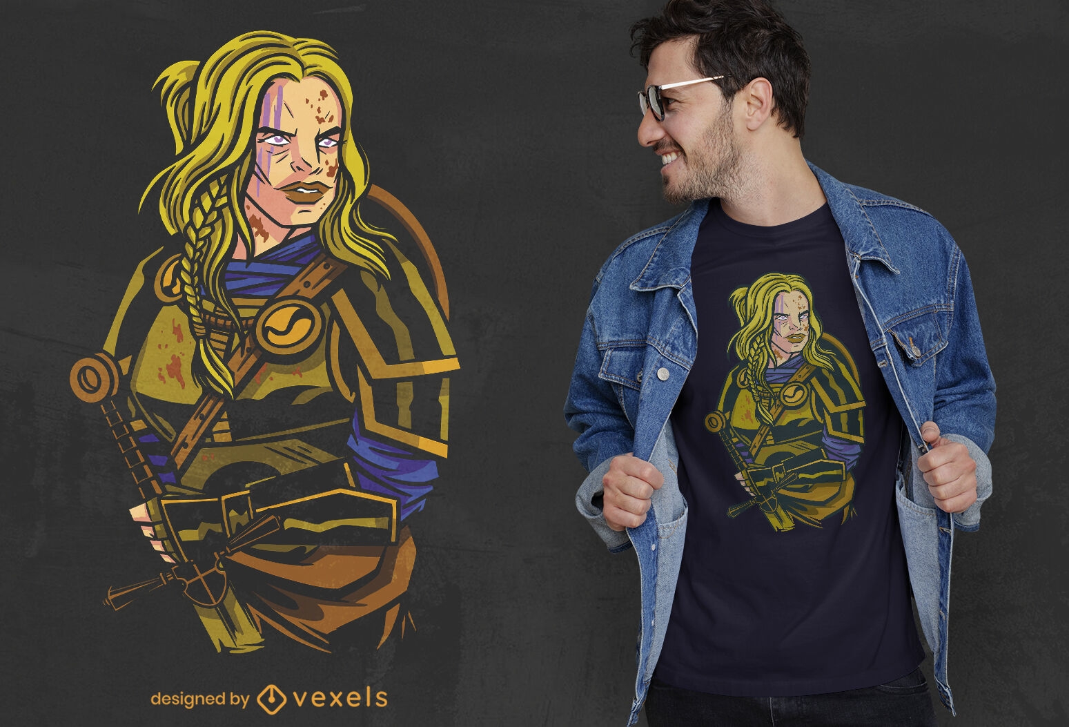
Design de camiseta de mulher guerreira nórdica viking
Escolha uma pasta
Todos os favoritos
Criar novo
Salvar
Design de camiseta de mulher guerreira nórdica viking
Pronto para imprimir
para Merch
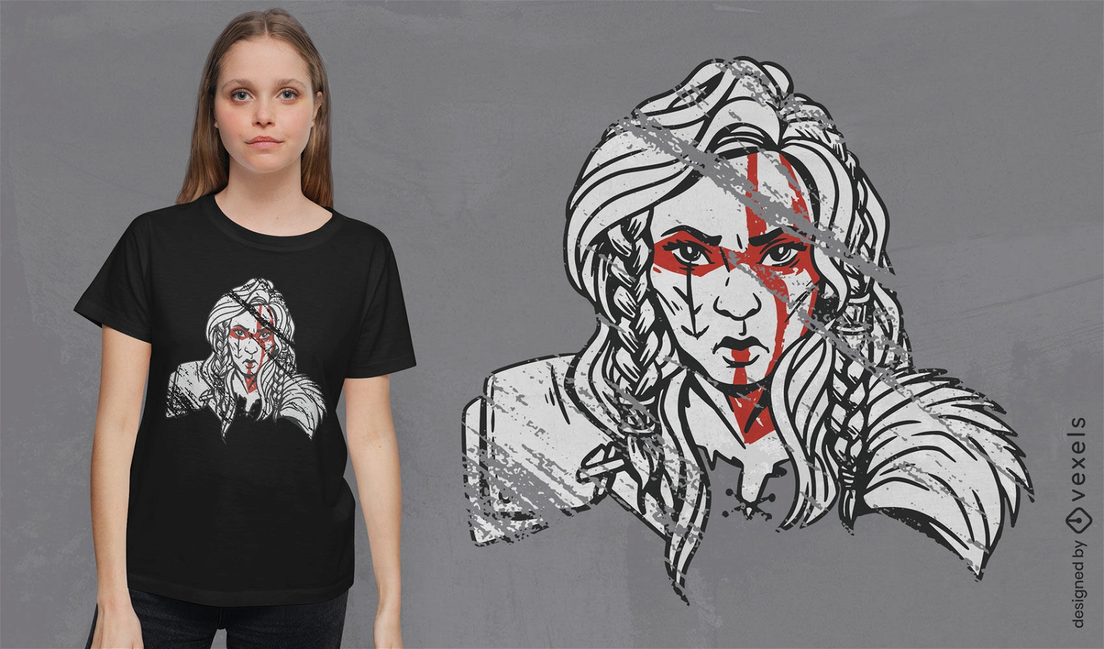
Design de camiseta de maquiagem tradicional de mulher viking
Escolha uma pasta
Todos os favoritos
Criar novo
Salvar
Design de camiseta de maquiagem tradicional de mulher viking
texto editável
Pronto para imprimir
para Merch
Viking no navio com design de camiseta de martelo
Escolha uma pasta
Todos os favoritos
Criar novo
Salvar
Viking no navio com design de camiseta de martelo
Pronto para imprimir
para Merch
Design de camiseta de mulher guerreira viking
Escolha uma pasta
Todos os favoritos
Criar novo
Salvar
Design de camiseta de mulher guerreira viking
Pronto para imprimir
para Merch
Design de camiseta de capacete de caveira viking
Escolha uma pasta
Todos os favoritos
Criar novo
Salvar
Design de camiseta de capacete de caveira viking
Pronto para imprimir
para Merch
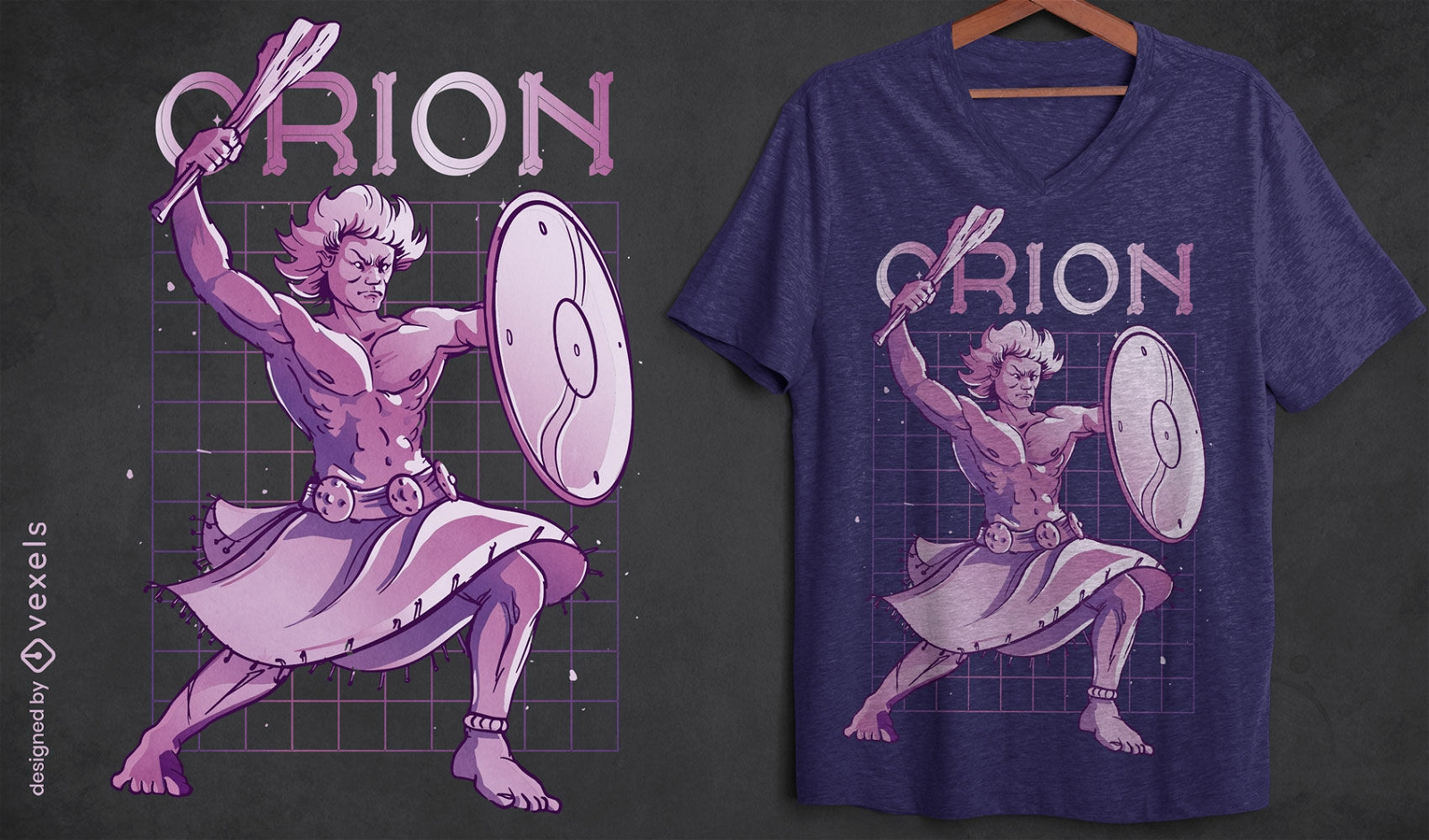
Design de camisetas da mitologia grega de Orion
Escolha uma pasta
Todos os favoritos
Criar novo
Salvar
Design de camisetas da mitologia grega de Orion
Pronto para imprimir
para Merch
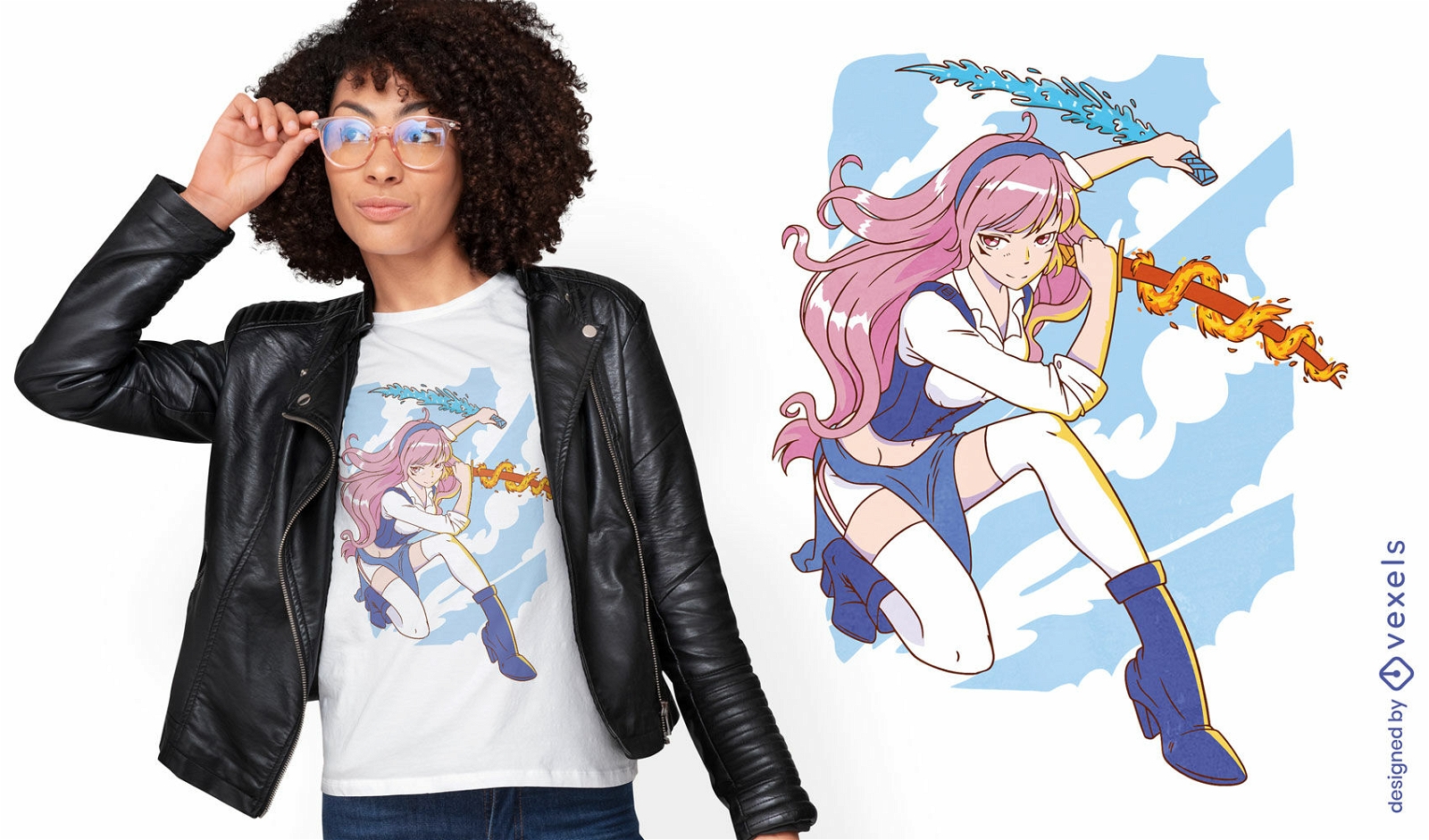
Design de t-shirt anime girl fire and water swords
Escolha uma pasta
Todos os favoritos
Criar novo
Salvar
Design de t-shirt anime girl fire and water swords
Pronto para imprimir
para Merch
Design de camiseta de mulher guerreira viking
Escolha uma pasta
Todos os favoritos
Criar novo
Salvar
Design de camiseta de mulher guerreira viking
Pronto para imprimir
para Merch
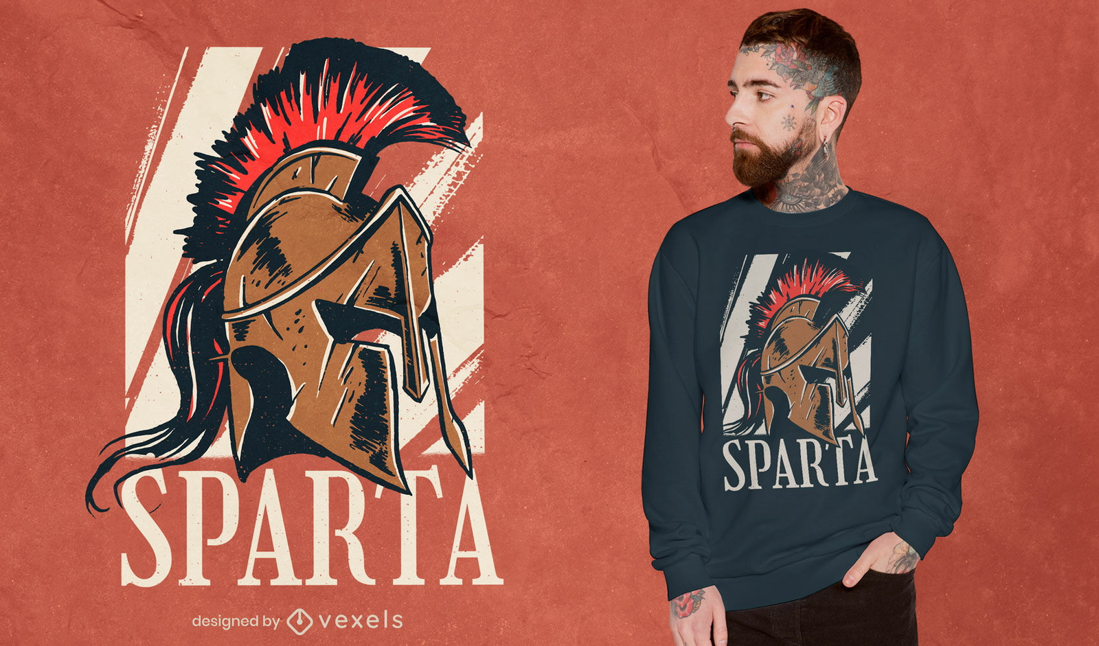
T-shirt com design histórico de capacete espartano
Escolha uma pasta
Todos os favoritos
Criar novo
Salvar
T-shirt com design histórico de capacete espartano
Pronto para imprimir
para Merch
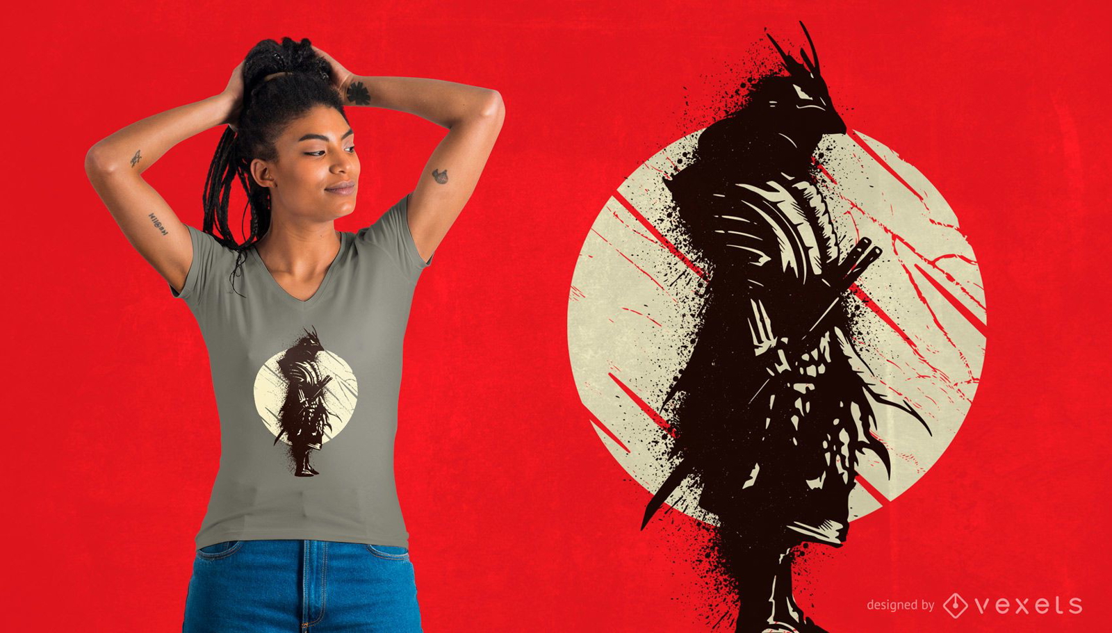
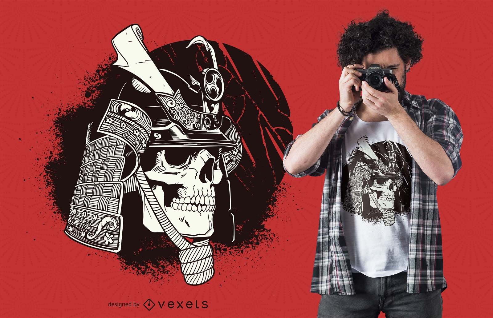
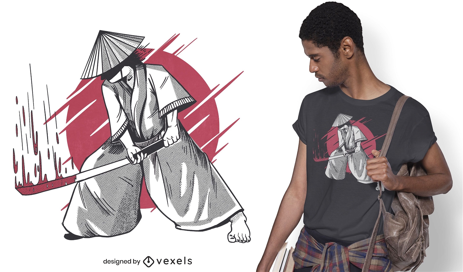
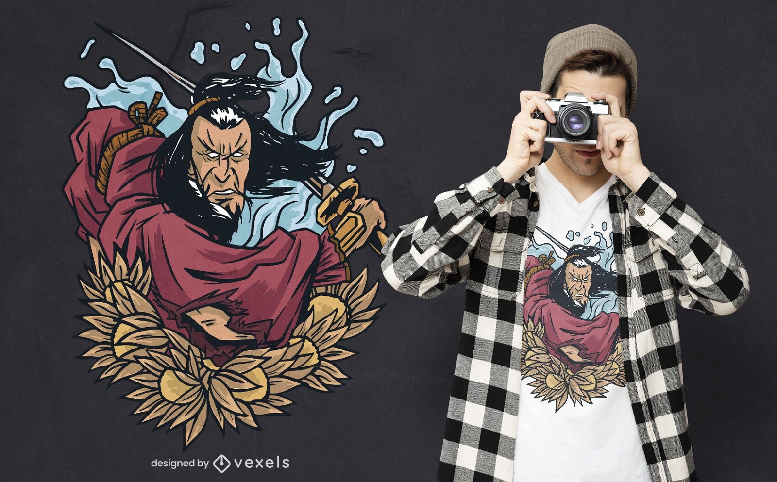
Design de camiseta de guerreiro samurai
Escolha uma pasta
Todos os favoritos
Criar novo
Salvar
Design de camiseta de guerreiro samurai
Impulsione seu negócio
Com a plataforma gráfica líder de mercado.
Ver planos
Próxima
do 8
prev page
next page