Biblioteca de design
Novos designs Merch
Camisetas
Vectores
Designs de Merch de Tendência
PNGs & SVGs
Mockups
Modelos de T-Shirt PSD
Explorar Desenhos
Designs KDP
Pôsteres
Canecas
Capas para celular
Sacos de compras
Almofadas
Ferramentas de desenho
Merch Designer
Novo!
Mockup Generator
Gerador de Design de AI
Vetorizador
Quote Generator
T-Shirt Maker (Antigo)
Ajuda
Merch Digest
Blog
Centro de Ajuda
Saiba mais sobre o Merch
Feedback
Soluções Corporativas
Empresa
Acesso à API
Estúdio de Design
Design em Lote
Preços
Carregando...
Inscrever-se
Conecte-se
Merch Vectors
guerrero
Biblioteca de design
Novos designs Merch
Camisetas
Vectores
Designs de Merch de Tendência
PNGs & SVGs
Mockups
Modelos de T-Shirt PSD
Explorar Desenhos
Designs KDP
Pôsteres
Canecas
Capas para celular
Sacos de compras
Almofadas
Ferramentas de desenho
Merch Designer
Novo!
Mockup Generator
Gerador de Design de AI
Vetorizador
Quote Generator
T-Shirt Maker (Antigo)
Ajuda
Merch Digest
Blog
Centro de Ajuda
Saiba mais sobre o Merch
Feedback
Soluções Corporativas
Empresa
Acesso à API
Estúdio de Design
Design em Lote
PLANOS
Merch Vectors
guerrero
369 Designs Vetoriais de guerrero para Camisetas e Merch
Baixar e comprar Designs Vetoriais AI de guerrero para Camisetas, Capas do Celular, Capas do Livros e outros produtos Merch
Ordenar por
Mais relevante
Resultados patrocinados da
Ganhe 15% de desconto com o código: VEXELS15
veja mais detalhes
texto editável
Pronto para imprimir
para Merch
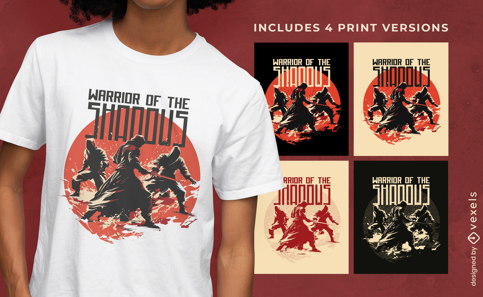
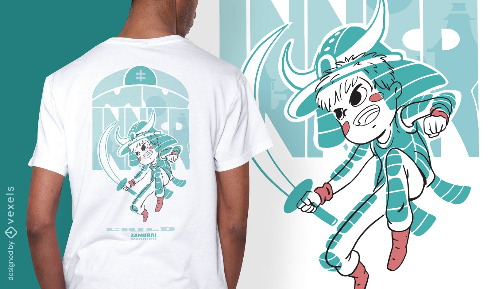
Ninjas e samurais t-shirt projetam várias versões
Escolha uma pasta
Todos os favoritos
Criar novo
Salvar
Ninjas e samurais t-shirt projetam várias versões
texto editável
Pronto para imprimir
para Merch
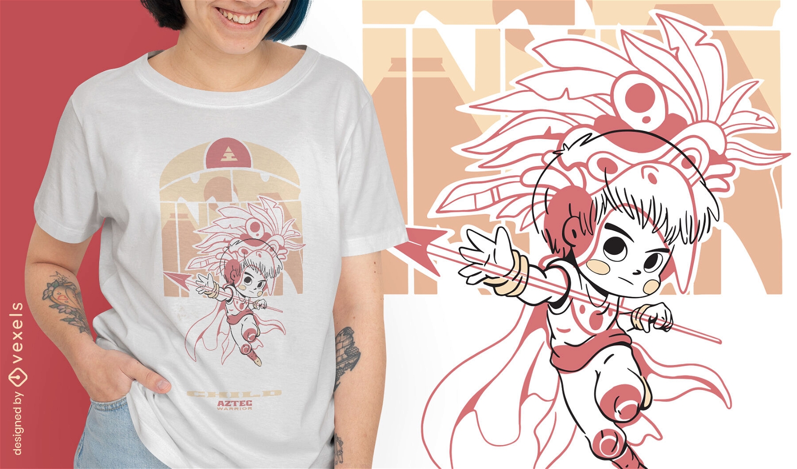
Garoto nativo com design de camiseta de seta
Escolha uma pasta
Todos os favoritos
Criar novo
Salvar
Garoto nativo com design de camiseta de seta
Pronto para imprimir
para Merch
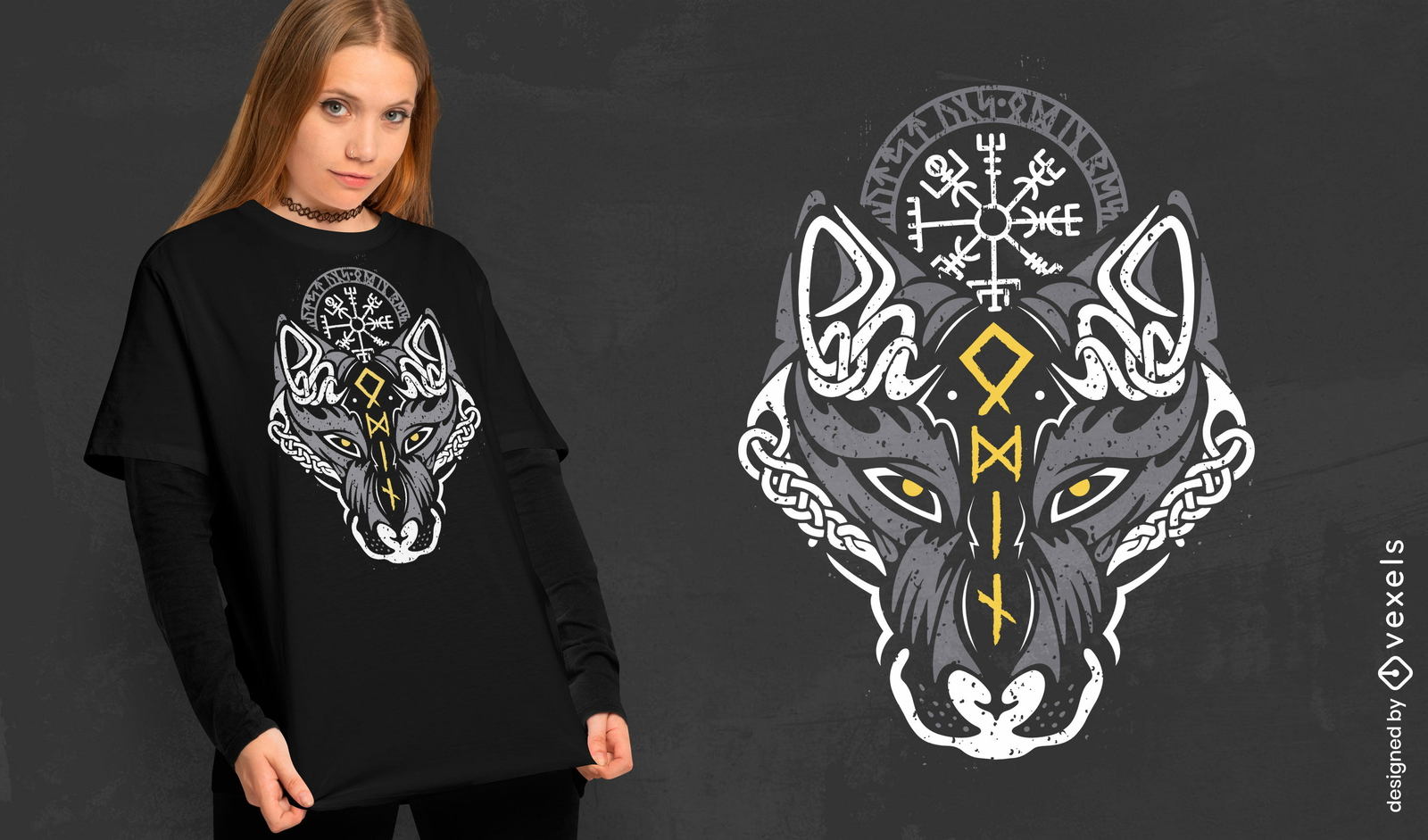
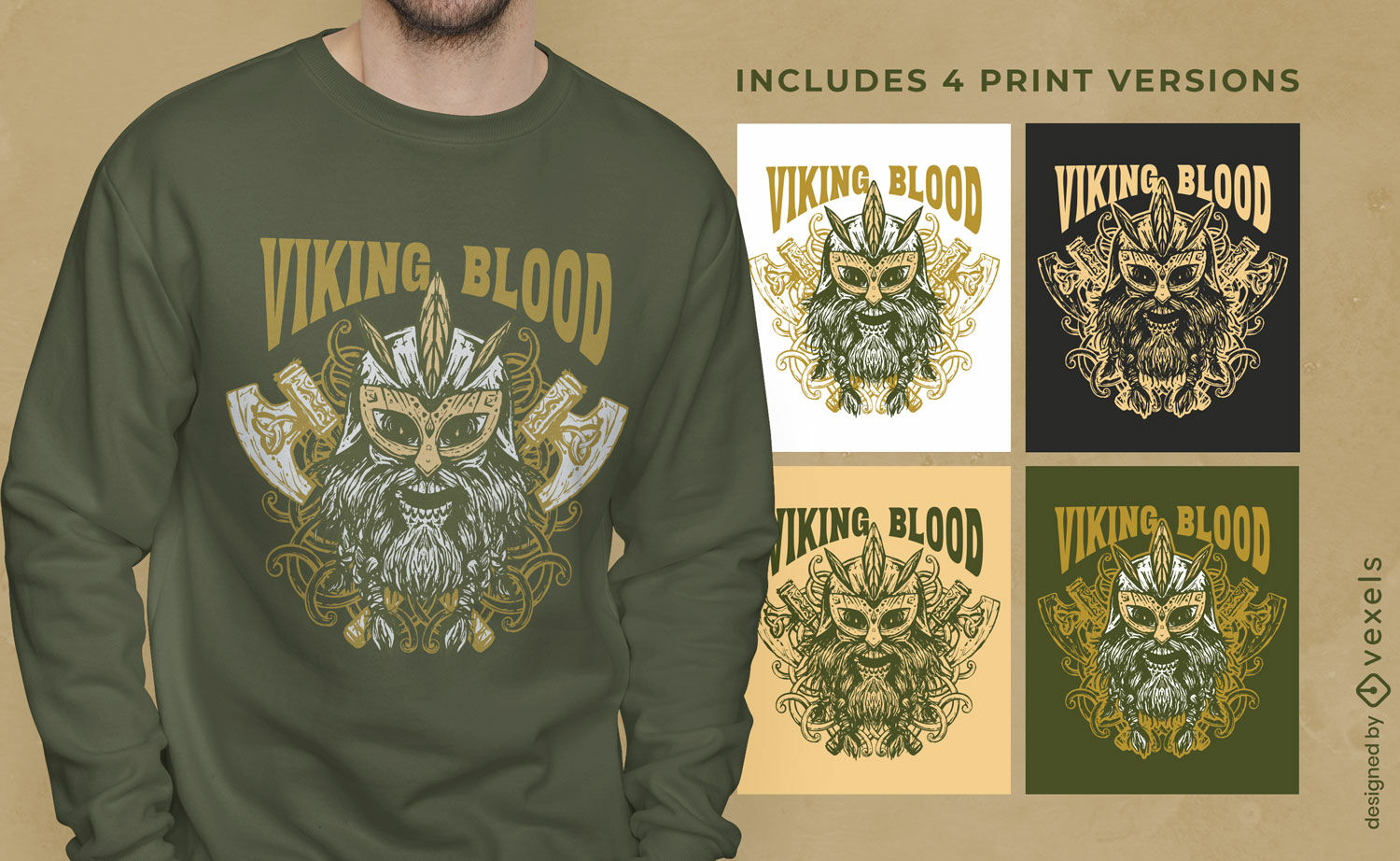
Design de camiseta do lobo viking nórdico
Escolha uma pasta
Todos os favoritos
Criar novo
Salvar
Design de camiseta do lobo viking nórdico
Pronto para imprimir
para Merch
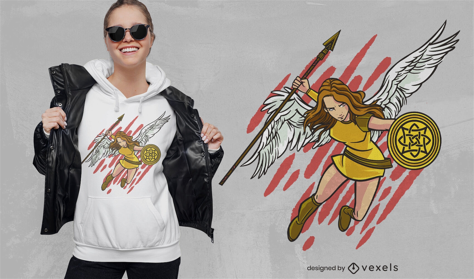
Design de camiseta de guerreiro Valkiria
Escolha uma pasta
Todos os favoritos
Criar novo
Salvar
Design de camiseta de guerreiro Valkiria
Pronto para imprimir
para Merch
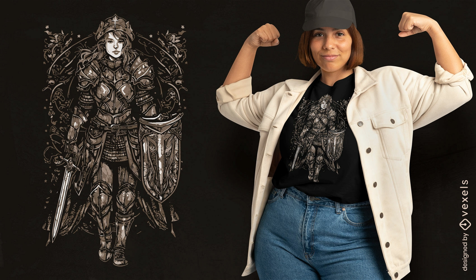
Mulher guerreira com design de camiseta de armadura
Escolha uma pasta
Todos os favoritos
Criar novo
Salvar
Mulher guerreira com design de camiseta de armadura
Pronto para imprimir
para Merch
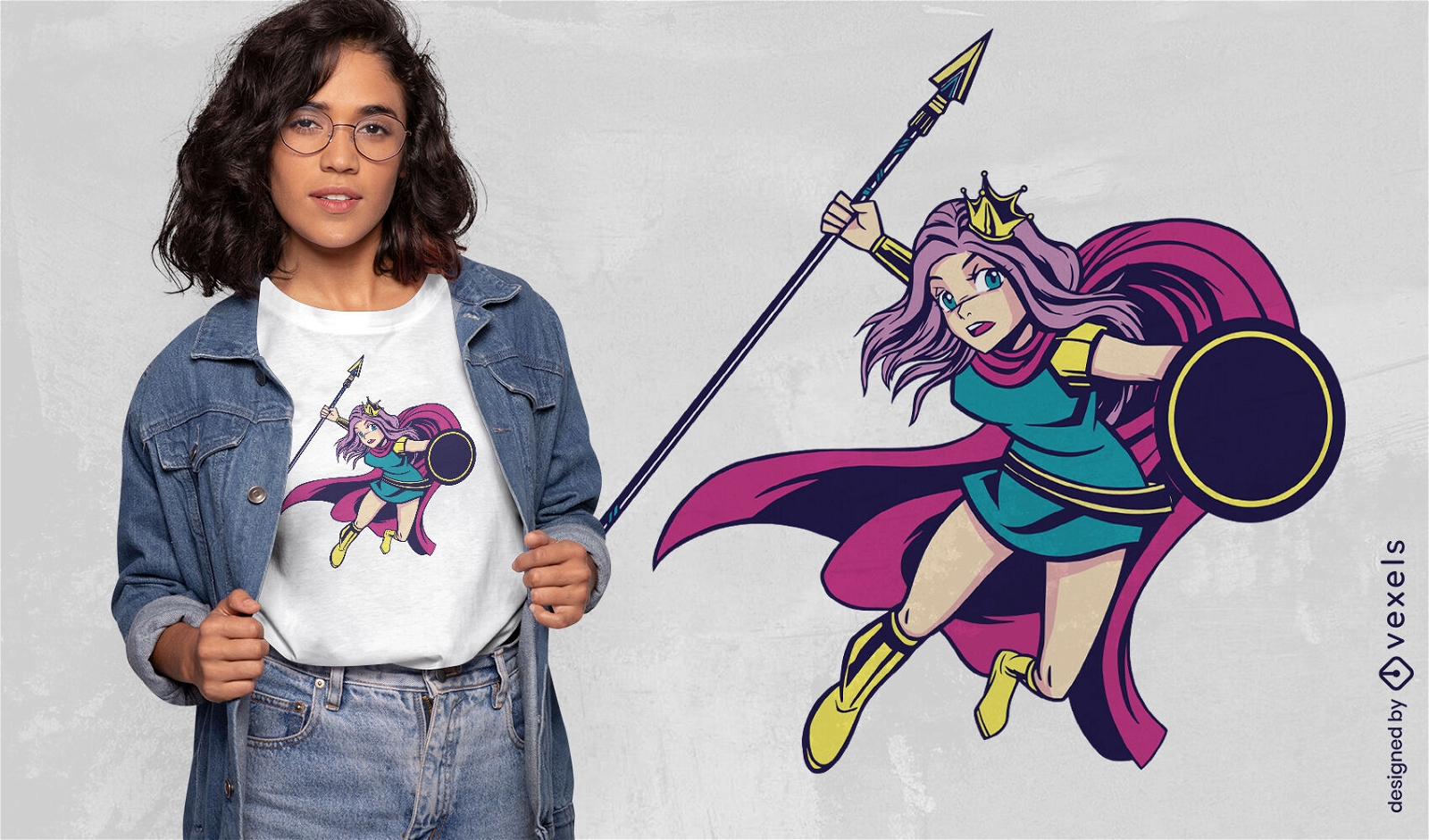
Design de camiseta de princesa guerreira de anime
Escolha uma pasta
Todos os favoritos
Criar novo
Salvar
Design de camiseta de princesa guerreira de anime
Pronto para imprimir
para Merch
Design de camiseta da garota guerreira
Escolha uma pasta
Todos os favoritos
Criar novo
Salvar
Design de camiseta da garota guerreira
Pronto para imprimir
para Merch
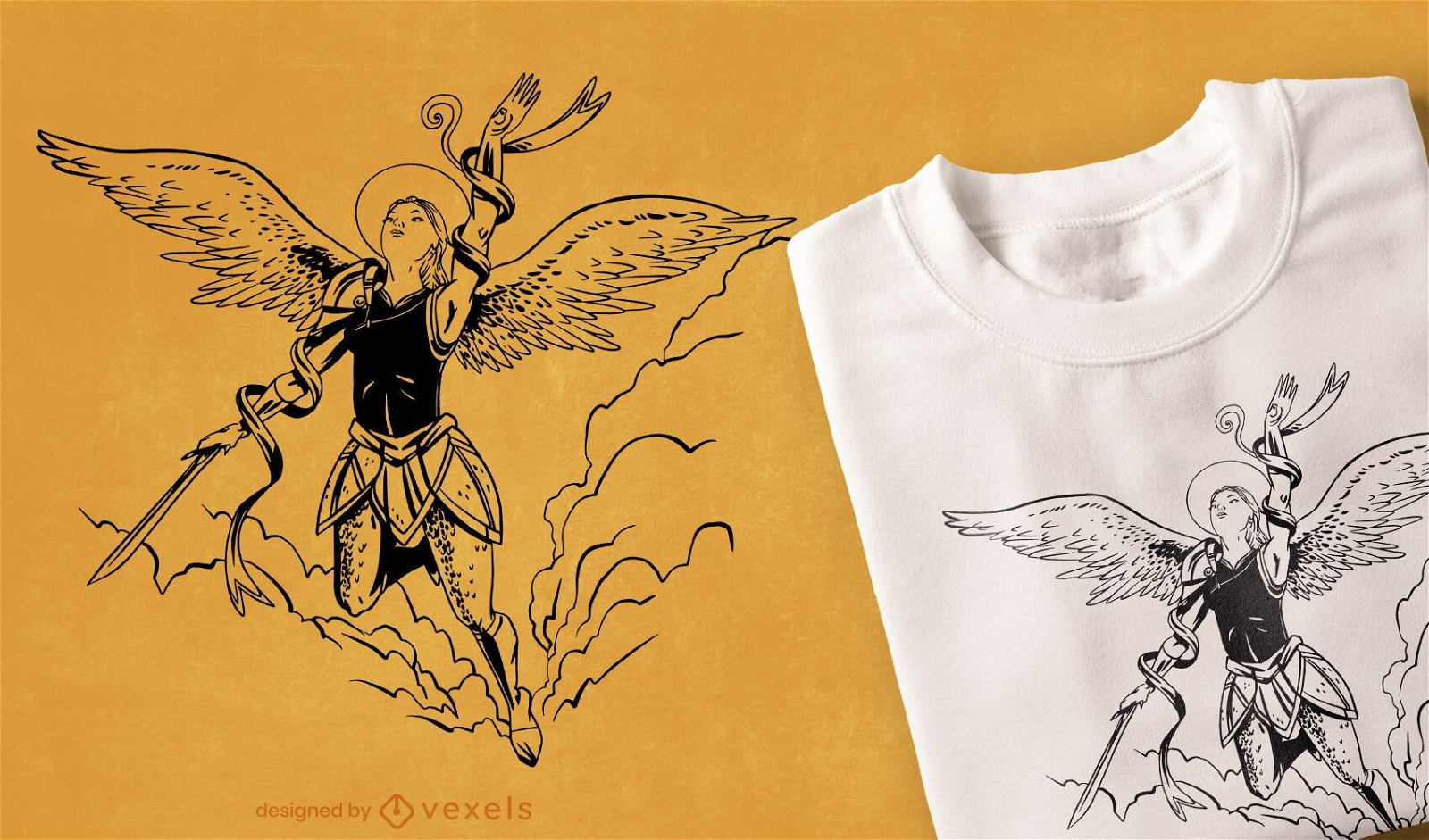
Design de camiseta de anjo voador
Escolha uma pasta
Todos os favoritos
Criar novo
Salvar
Design de camiseta de anjo voador
Pronto para imprimir
para Merch
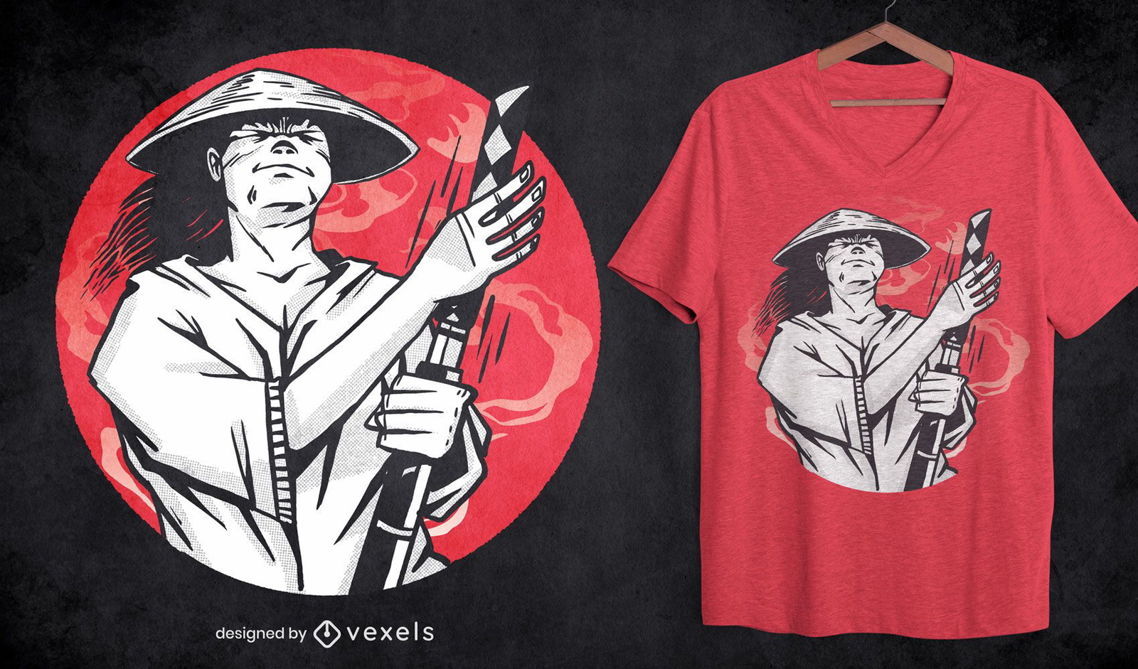
Design de camiseta com arma Samurai Katana
Escolha uma pasta
Todos os favoritos
Criar novo
Salvar
Design de camiseta com arma Samurai Katana
Pronto para imprimir
para Merch
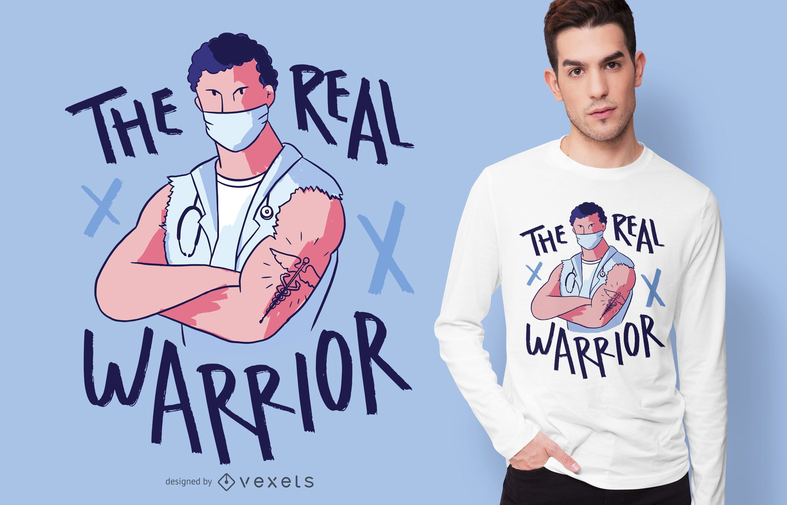
Design de camisetas Real Warrior
Escolha uma pasta
Todos os favoritos
Criar novo
Salvar
Design de camisetas Real Warrior
Pronto para imprimir
para Merch
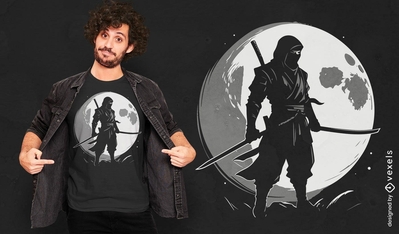
Design de camiseta da lua ninja
Escolha uma pasta
Todos os favoritos
Criar novo
Salvar
Design de camiseta da lua ninja
texto editável
Pronto para imprimir
para Merch
Design de camiseta Viking várias versões
Escolha uma pasta
Todos os favoritos
Criar novo
Salvar
Design de camiseta Viking várias versões
texto editável
Pronto para imprimir
para Merch
Garoto Viking com design de camiseta de espada
Escolha uma pasta
Todos os favoritos
Criar novo
Salvar
Garoto Viking com design de camiseta de espada
Pronto para imprimir
para Merch
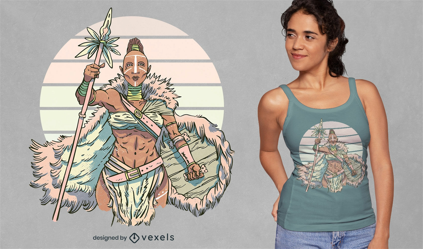
Design de camiseta de mulher guerreira tribal
Escolha uma pasta
Todos os favoritos
Criar novo
Salvar
Design de camiseta de mulher guerreira tribal
Pronto para imprimir
para Merch
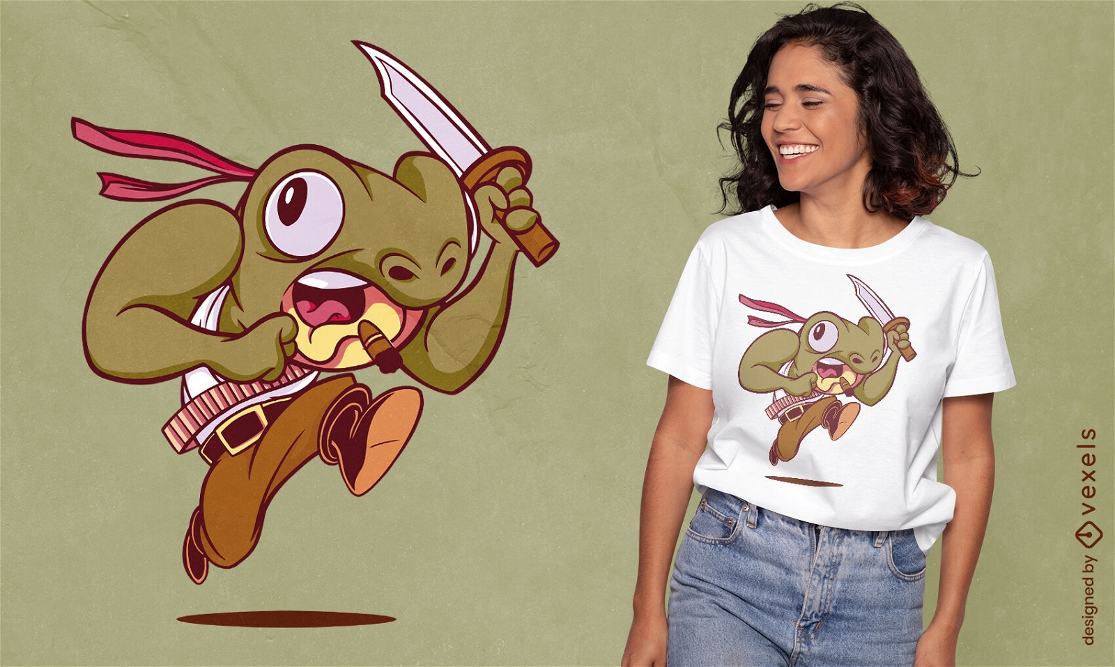
Design de camiseta de sapo soldado
Escolha uma pasta
Todos os favoritos
Criar novo
Salvar
Design de camiseta de sapo soldado
Pronto para imprimir
para Merch
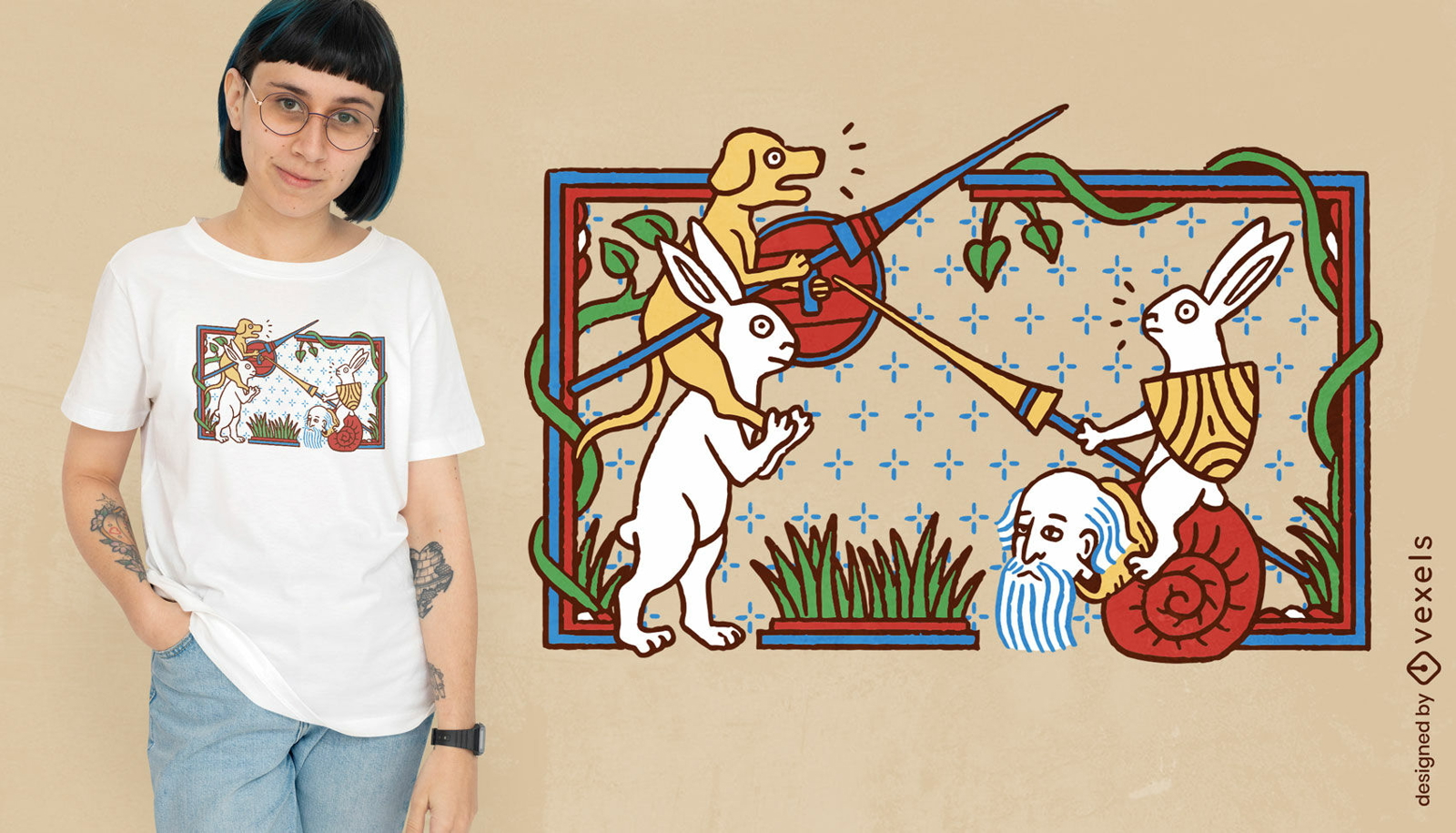
Cena de livro medieval com design de camiseta de animais
Escolha uma pasta
Todos os favoritos
Criar novo
Salvar
Cena de livro medieval com design de camiseta de animais
texto editável
Pronto para imprimir
para Merch
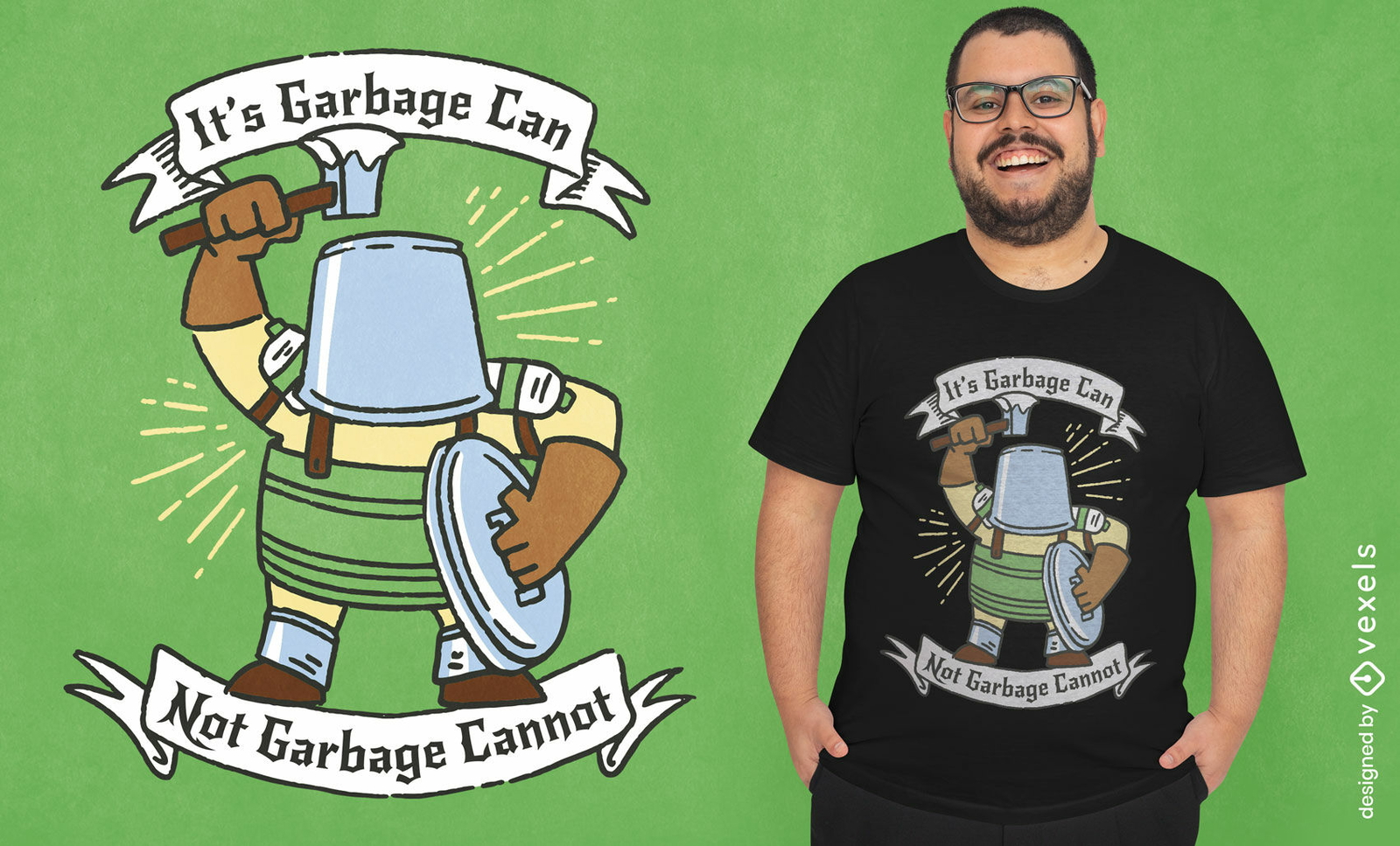
Design de camiseta de cavaleiro de lixo engraçado
Escolha uma pasta
Todos os favoritos
Criar novo
Salvar
Design de camiseta de cavaleiro de lixo engraçado
Pronto para imprimir
para Merch
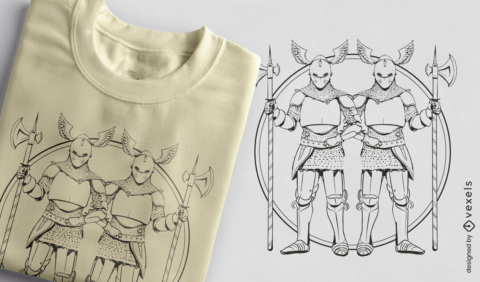
Cavaleiros com design de t-shirt de armadura e lanças
Escolha uma pasta
Todos os favoritos
Criar novo
Salvar
Cavaleiros com design de t-shirt de armadura e lanças
Pronto para imprimir
para Merch
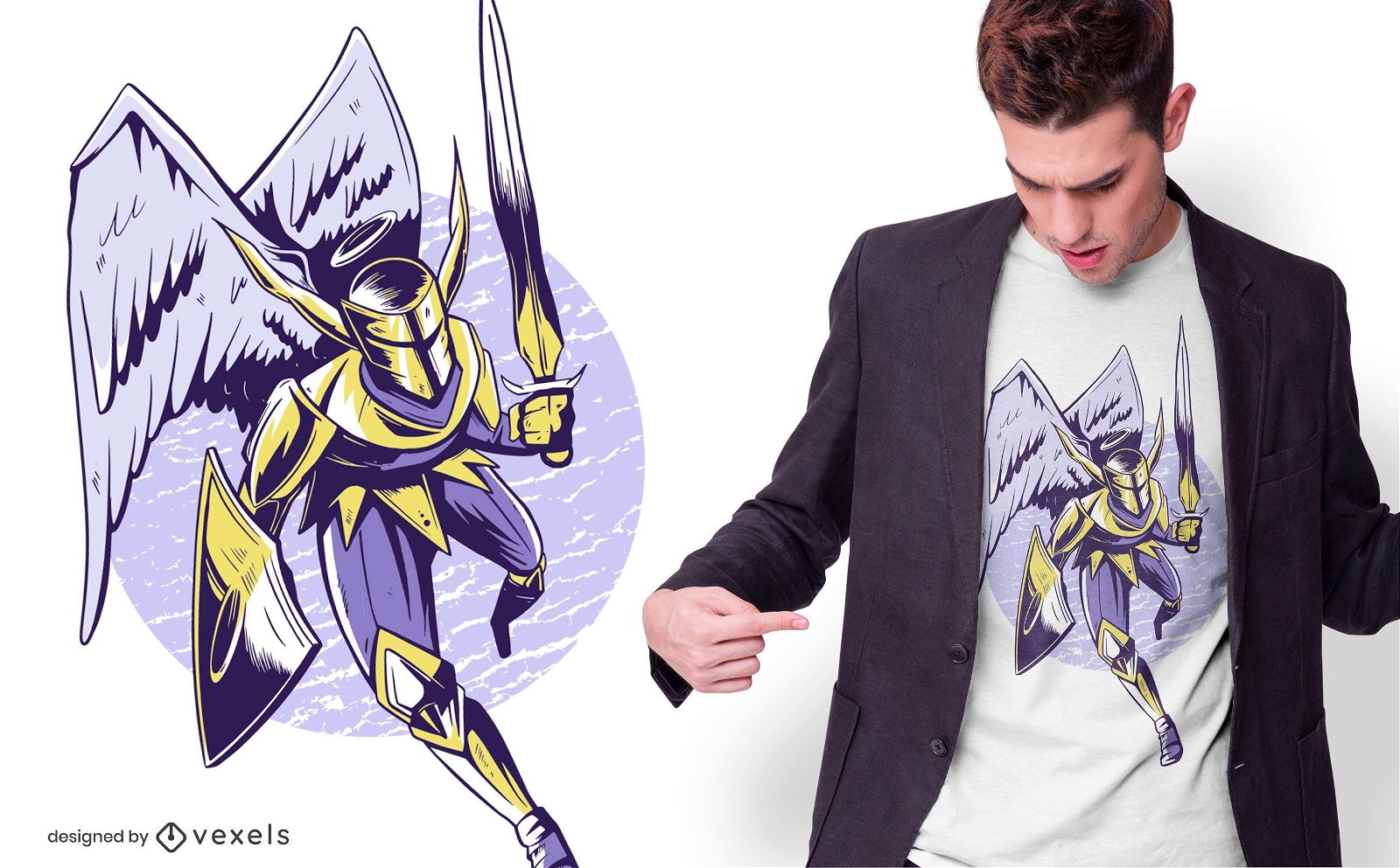
Design de camisetas Knight Angel
Escolha uma pasta
Todos os favoritos
Criar novo
Salvar
Design de camisetas Knight Angel
Pronto para imprimir
para Merch
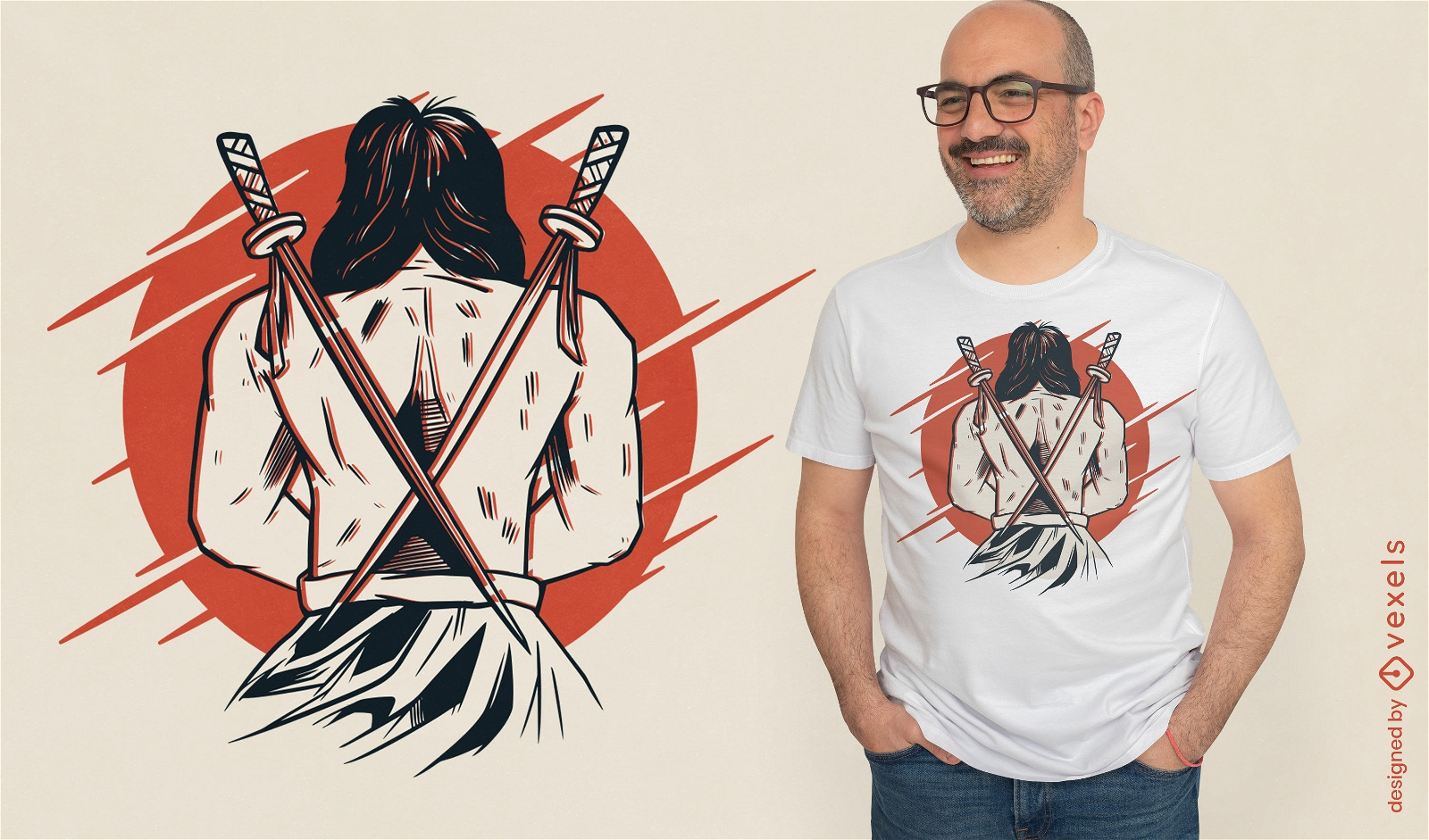
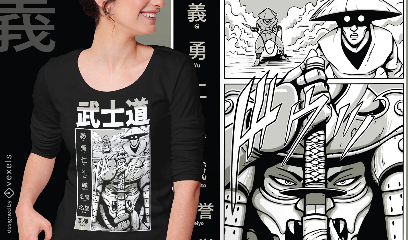
Design de camiseta de espadas traseiras de samurai
Escolha uma pasta
Todos os favoritos
Criar novo
Salvar
Design de camiseta de espadas traseiras de samurai
Pronto para imprimir
para Merch
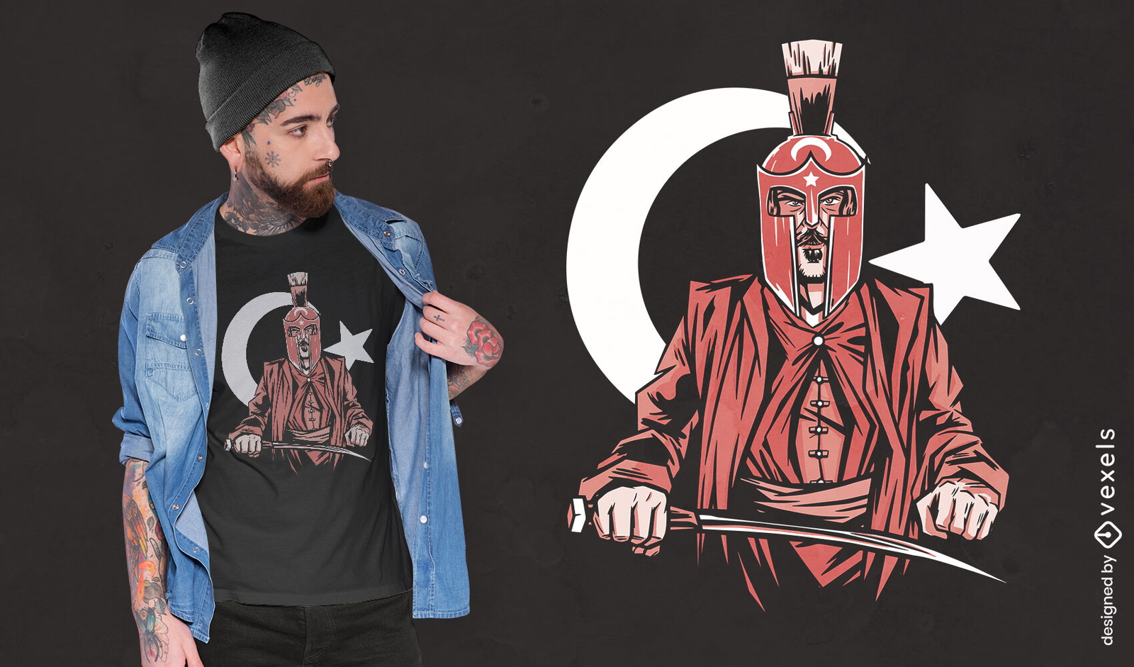
Design de camiseta de soldado do império otomano
Escolha uma pasta
Todos os favoritos
Criar novo
Salvar
Design de camiseta de soldado do império otomano
Pronto para imprimir
para Merch
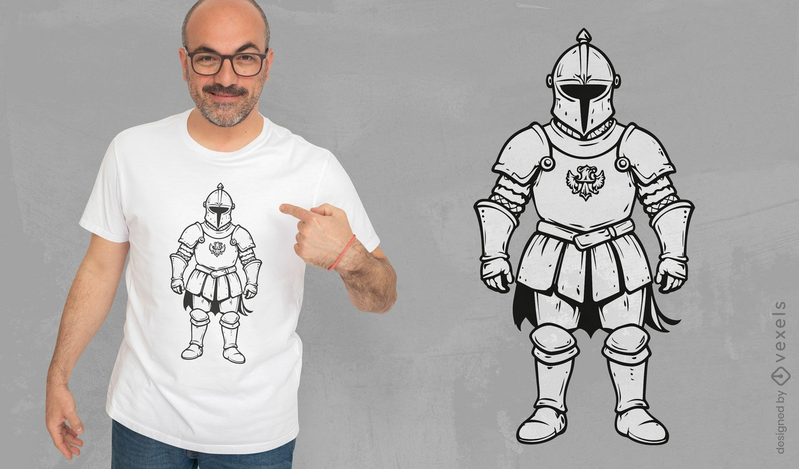
Design clássico de camiseta com armadura de cavaleiro medieval
Escolha uma pasta
Todos os favoritos
Criar novo
Salvar
Design clássico de camiseta com armadura de cavaleiro medieval
Pronto para imprimir
para Merch
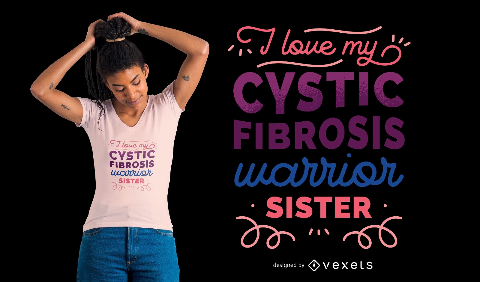
Design de camiseta da irmã guerreira
Escolha uma pasta
Todos os favoritos
Criar novo
Salvar
Design de camiseta da irmã guerreira
Pronto para imprimir
para Merch
Design de camiseta de samurai espada Katana
Escolha uma pasta
Todos os favoritos
Criar novo
Salvar
Design de camiseta de samurai espada Katana
Pronto para imprimir
para Merch
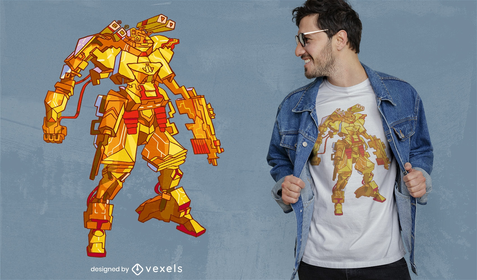
Design de camiseta de guerreiro Mech
Escolha uma pasta
Todos os favoritos
Criar novo
Salvar
Design de camiseta de guerreiro Mech
Pronto para imprimir
para Merch
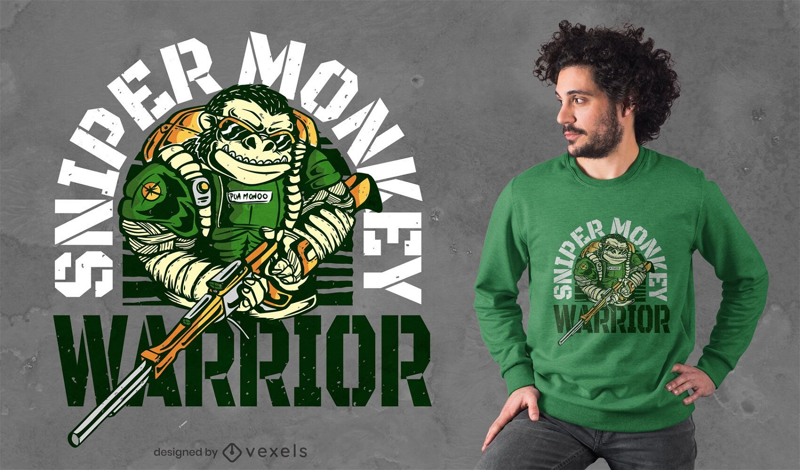
Design de camiseta do macaco atirador
Escolha uma pasta
Todos os favoritos
Criar novo
Salvar
Design de camiseta do macaco atirador
Pronto para imprimir
para Merch
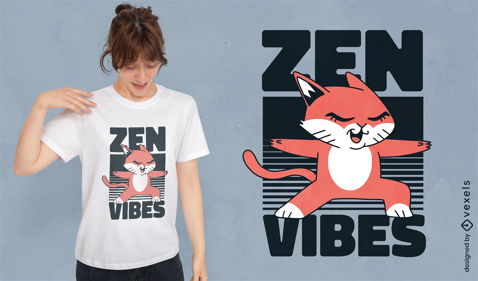
Design de camiseta de gato zen
Escolha uma pasta
Todos os favoritos
Criar novo
Salvar
Design de camiseta de gato zen
Pronto para imprimir
para Merch
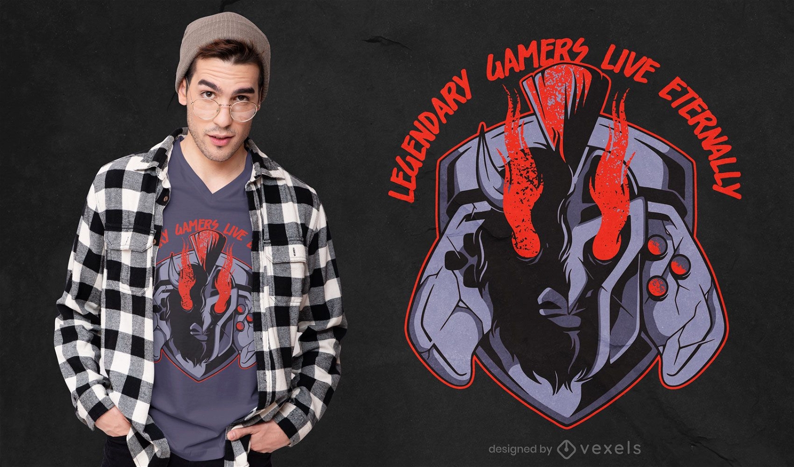
Design lendário de camisetas para jogadores
Escolha uma pasta
Todos os favoritos
Criar novo
Salvar
Design lendário de camisetas para jogadores
Premium
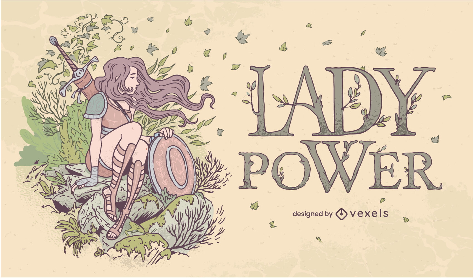
Desenho de ilustração de guerreiro Lady Power Nature
Escolha uma pasta
Todos os favoritos
Criar novo
Salvar
Desenho de ilustração de guerreiro Lady Power Nature
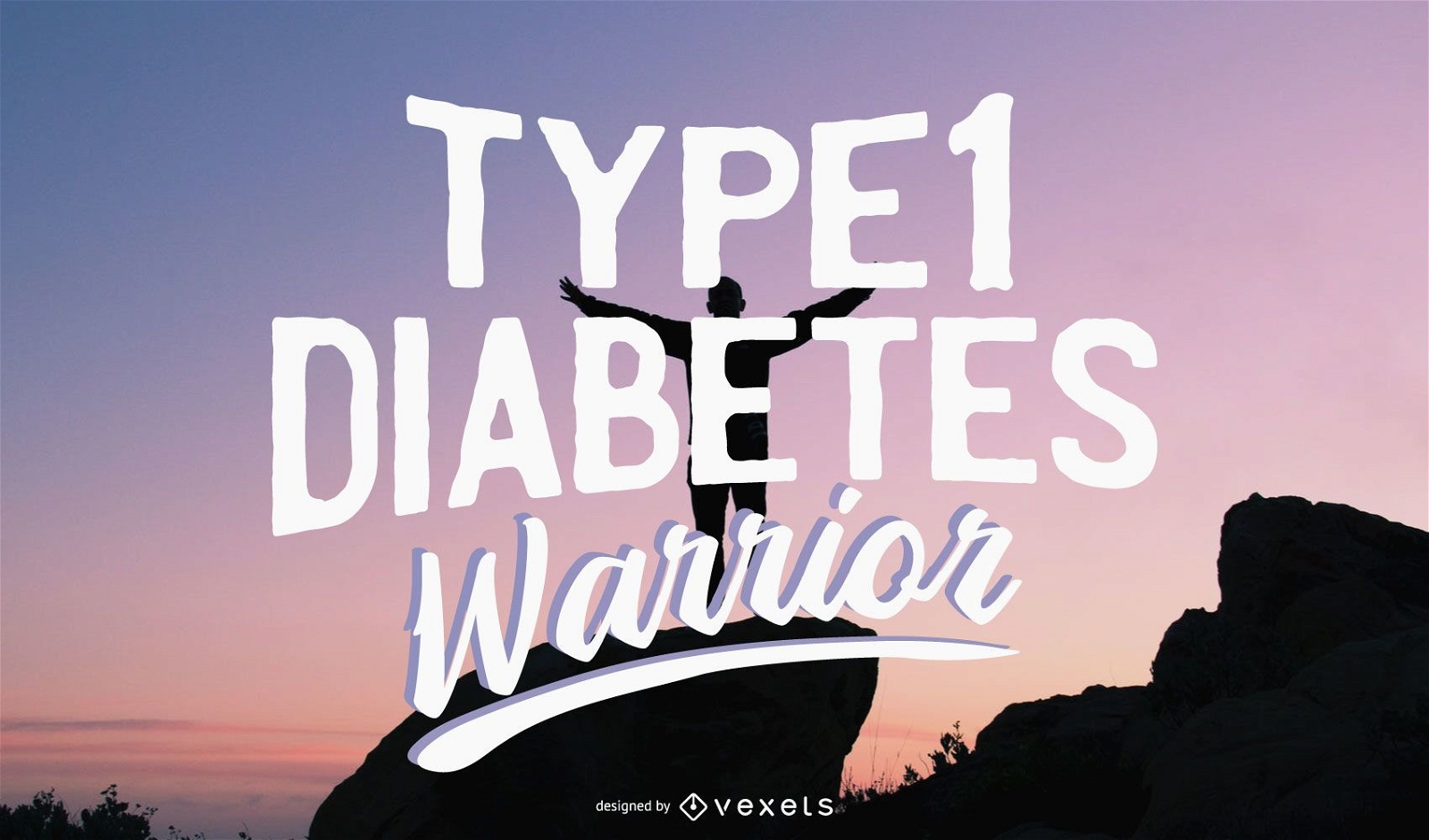
Ilustração do guerreiro da diabetes tipo 1
Escolha uma pasta
Todos os favoritos
Criar novo
Salvar
Ilustração do guerreiro da diabetes tipo 1
Western Warrior Vector Cool
Escolha uma pasta
Todos os favoritos
Criar novo
Salvar
Western Warrior Vector Cool
Premium
Conjunto de ilustrações de guerreiro
Escolha uma pasta
Todos os favoritos
Criar novo
Salvar
Conjunto de ilustrações de guerreiro
Premium
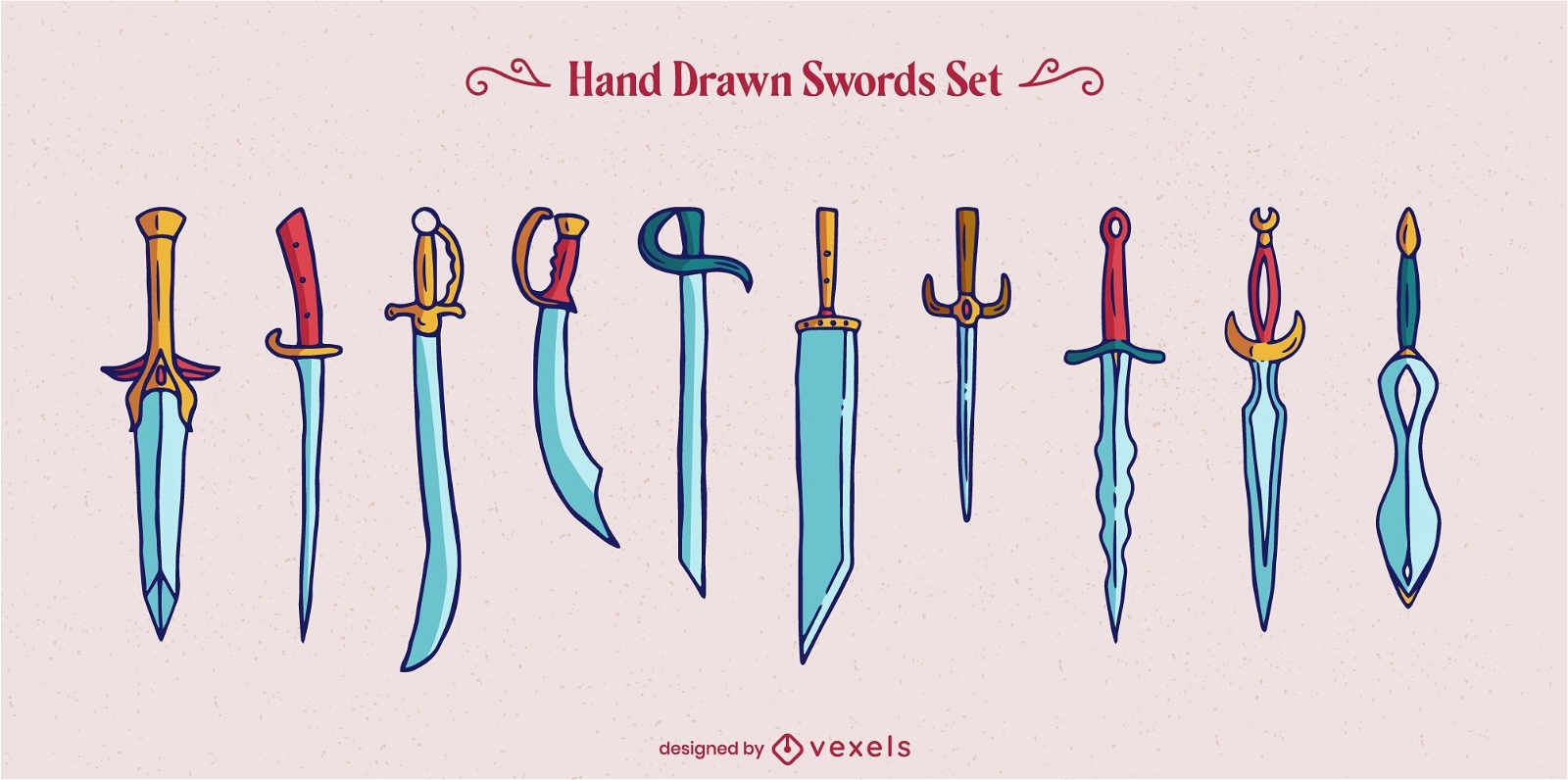
Conjunto de elementos de guerreiro espada arma
Escolha uma pasta
Todos os favoritos
Criar novo
Salvar
Conjunto de elementos de guerreiro espada arma
Premium
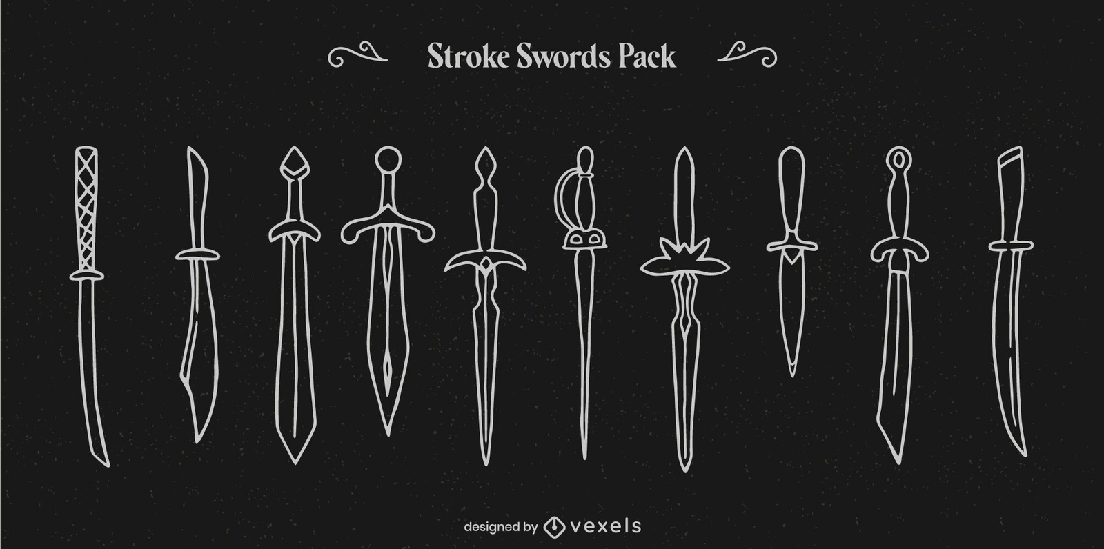
Conjunto de arte em linha de guerreiro com espada e arma
Escolha uma pasta
Todos os favoritos
Criar novo
Salvar
Conjunto de arte em linha de guerreiro com espada e arma
Premium
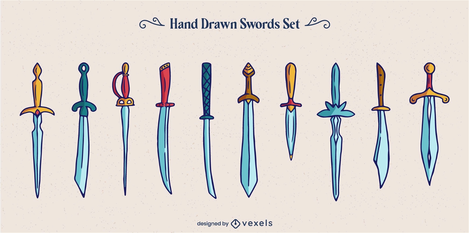
Conjunto de guerreiros com estilos de espadas e armas
Escolha uma pasta
Todos os favoritos
Criar novo
Salvar
Conjunto de guerreiros com estilos de espadas e armas
Premium
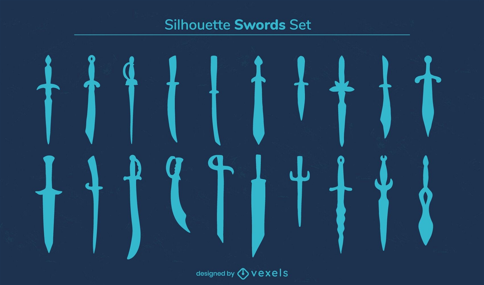
Conjunto de silhueta de guerreiro com espada e arma
Escolha uma pasta
Todos os favoritos
Criar novo
Salvar
Conjunto de silhueta de guerreiro com espada e arma
padrão tileable
Premium
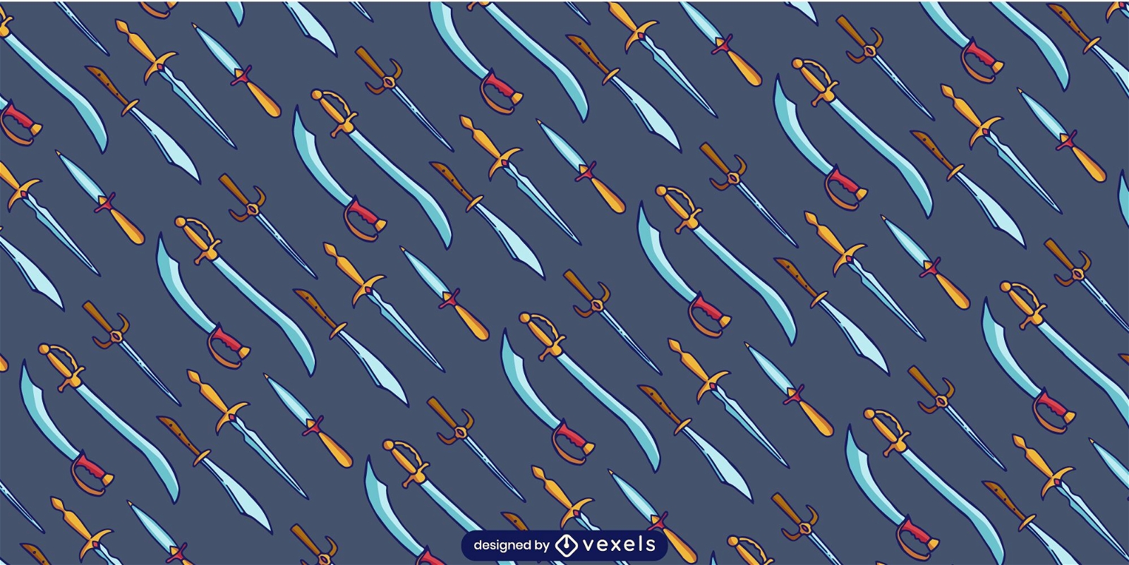
Design de padrão de guerreiro de arma de espada
Escolha uma pasta
Todos os favoritos
Criar novo
Salvar
Design de padrão de guerreiro de arma de espada
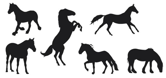
Silhuetas de cavalos
Escolha uma pasta
Todos os favoritos
Criar novo
Salvar
Silhuetas de cavalos
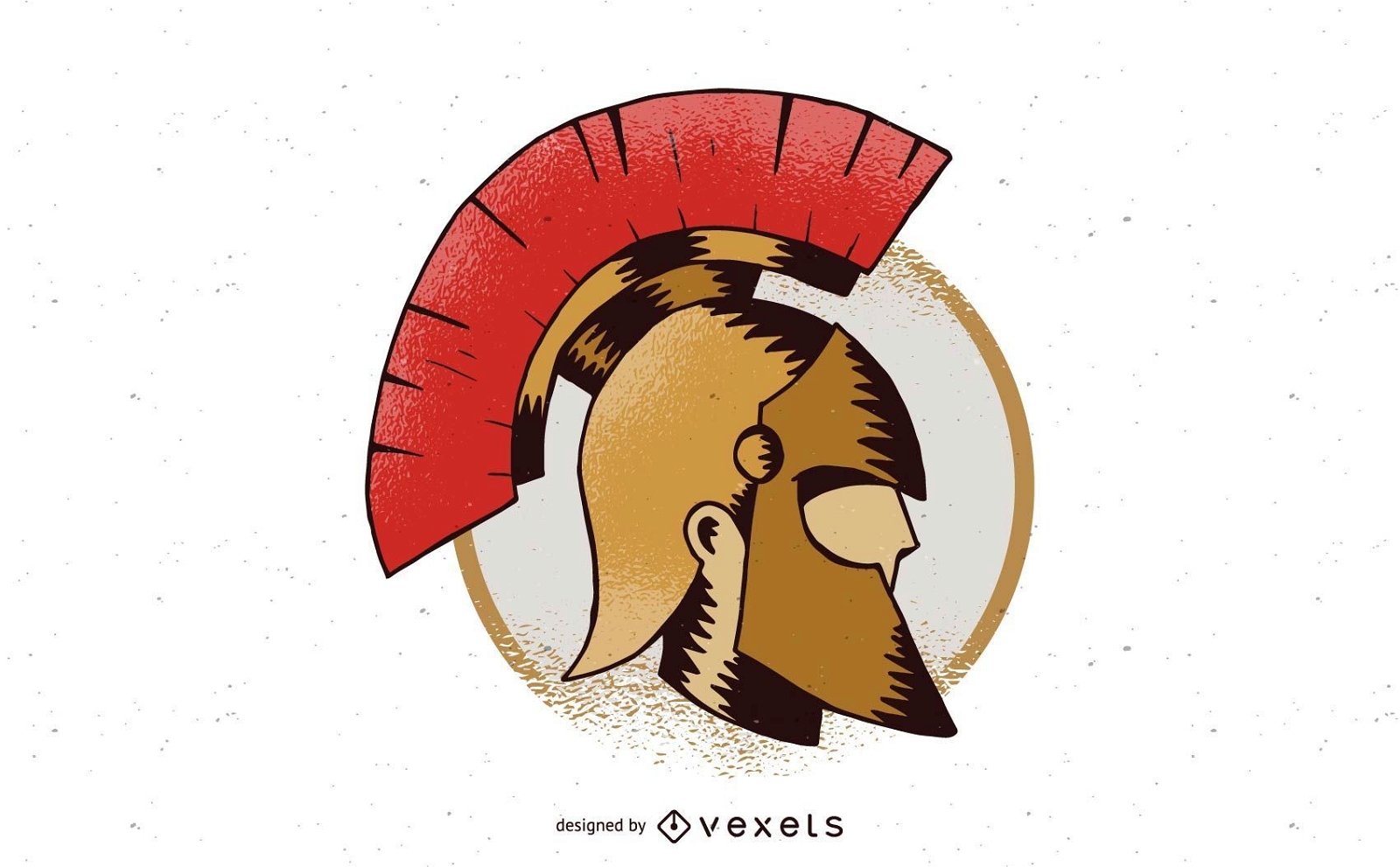
Design de distintivo de capacete espartano
Escolha uma pasta
Todos os favoritos
Criar novo
Salvar
Design de distintivo de capacete espartano
Premium
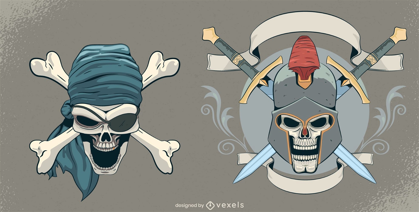
Cenografia de caveira vintage
Escolha uma pasta
Todos os favoritos
Criar novo
Salvar
Cenografia de caveira vintage
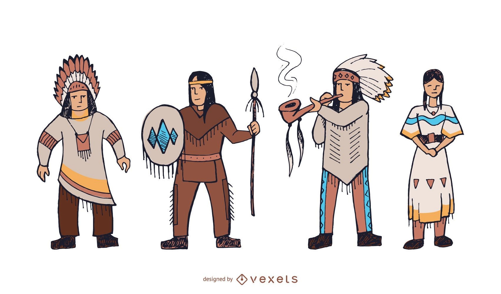
Conjunto de doodle de personagens nativos americanos
Escolha uma pasta
Todos os favoritos
Criar novo
Salvar
Conjunto de doodle de personagens nativos americanos
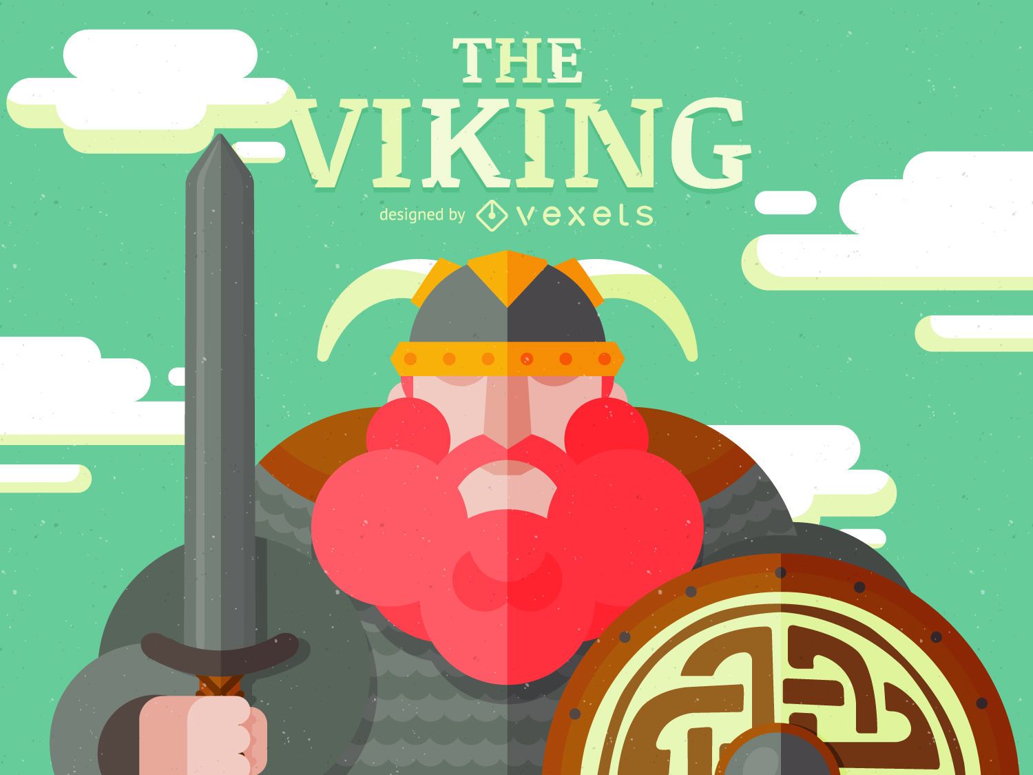
Desenho de personagem viking
Escolha uma pasta
Todos os favoritos
Criar novo
Salvar
Desenho de personagem viking
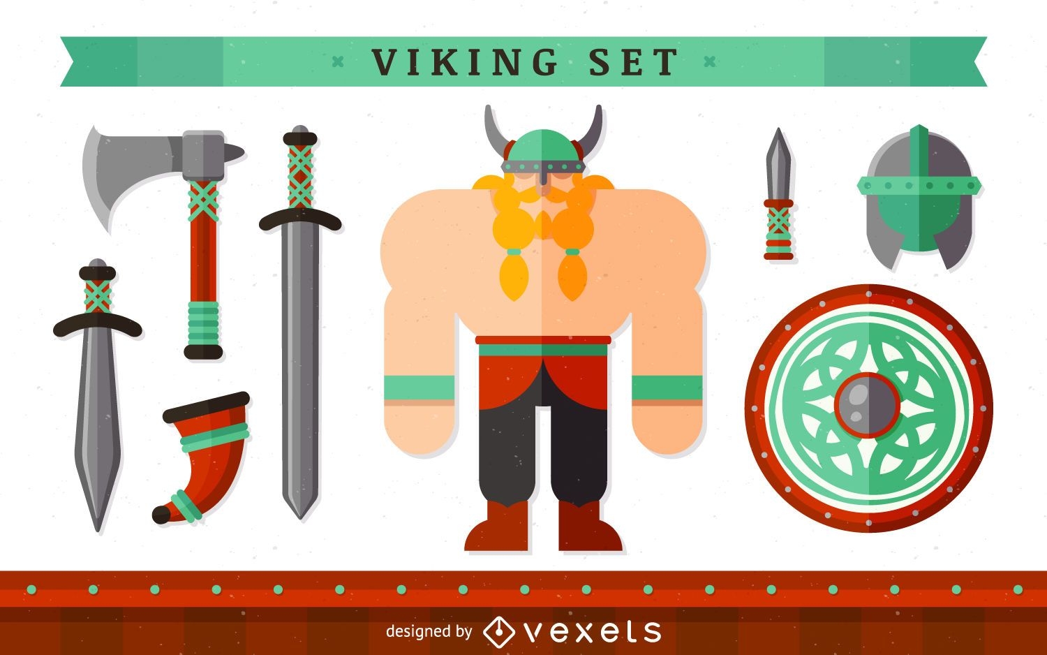
Personagem viking com elementos
Escolha uma pasta
Todos os favoritos
Criar novo
Salvar
Personagem viking com elementos
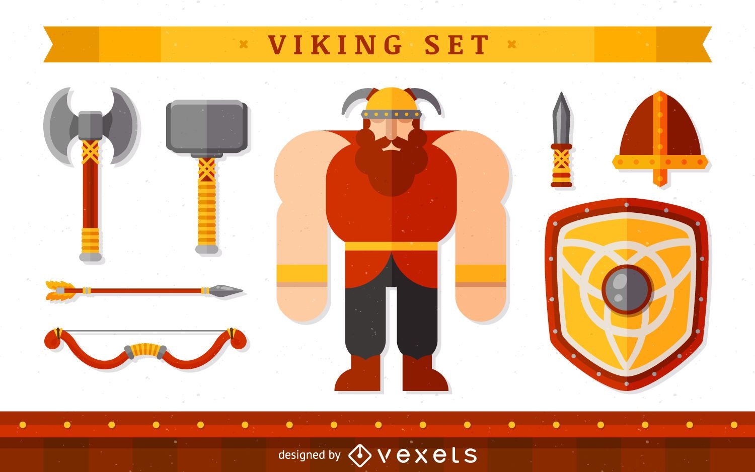
Personagem viking com itens
Escolha uma pasta
Todos os favoritos
Criar novo
Salvar
Personagem viking com itens
Marca completa
Premium
Design de logotipo do Space Warrior
Escolha uma pasta
Todos os favoritos
Criar novo
Salvar
Design de logotipo do Space Warrior
Ilustração de personagem Viking
Escolha uma pasta
Todos os favoritos
Criar novo
Salvar
Ilustração de personagem Viking
Premium
Conjunto de ilustração de poses de ioga de cachorro
Escolha uma pasta
Todos os favoritos
Criar novo
Salvar
Conjunto de ilustração de poses de ioga de cachorro
Ilustração Viking e Raven
Escolha uma pasta
Todos os favoritos
Criar novo
Salvar
Ilustração Viking e Raven
Desenho vetorial de machado e escudo vikings
Escolha uma pasta
Todos os favoritos
Criar novo
Salvar
Desenho vetorial de machado e escudo vikings
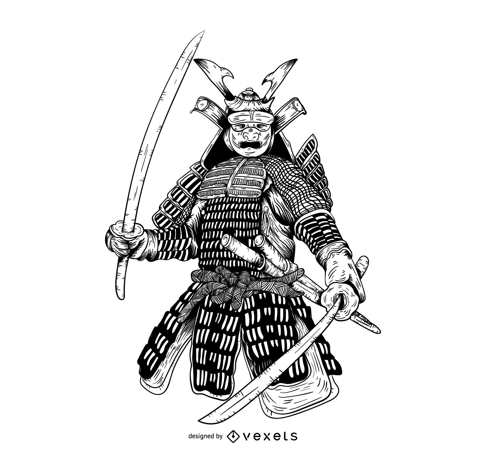
Samurai desenhado à mão ilustração gráfica
Escolha uma pasta
Todos os favoritos
Criar novo
Salvar
Samurai desenhado à mão ilustração gráfica
Impulsione seu negócio
Com a plataforma gráfica líder de mercado.
Ver planos
Próxima
do 8
prev page
next page