Biblioteca de design
Novos designs Merch
Camisetas
Vectores
Designs de Merch de Tendência
PNGs & SVGs
Mockups
Modelos de T-Shirt PSD
Explorar Desenhos
Designs KDP
Pôsteres
Canecas
Capas para celular
Sacos de compras
Almofadas
Ferramentas de desenho
Merch Designer
Novo!
Mockup Generator
Gerador de Design de AI
Vetorizador
Quote Generator
T-Shirt Maker (Antigo)
Ajuda
Merch Digest
Blog
Centro de Ajuda
Saiba mais sobre o Merch
Feedback
Soluções Corporativas
Empresa
Acesso à API
Estúdio de Design
Design em Lote
Preços
Carregando...
Inscrever-se
Conecte-se
Merch Vectors
guerrero
Biblioteca de design
Novos designs Merch
Camisetas
Vectores
Designs de Merch de Tendência
PNGs & SVGs
Mockups
Modelos de T-Shirt PSD
Explorar Desenhos
Designs KDP
Pôsteres
Canecas
Capas para celular
Sacos de compras
Almofadas
Ferramentas de desenho
Merch Designer
Novo!
Mockup Generator
Gerador de Design de AI
Vetorizador
Quote Generator
T-Shirt Maker (Antigo)
Ajuda
Merch Digest
Blog
Centro de Ajuda
Saiba mais sobre o Merch
Feedback
Soluções Corporativas
Empresa
Acesso à API
Estúdio de Design
Design em Lote
PLANOS
Merch Vectors
guerrero
369 Designs Vetoriais de guerrero para Camisetas e Merch
Baixar e comprar Designs Vetoriais AI de guerrero para Camisetas, Capas do Celular, Capas do Livros e outros produtos Merch
Ordenar por
Mais relevante
Resultados patrocinados da
Ganhe 15% de desconto com o código: VEXELS15
veja mais detalhes
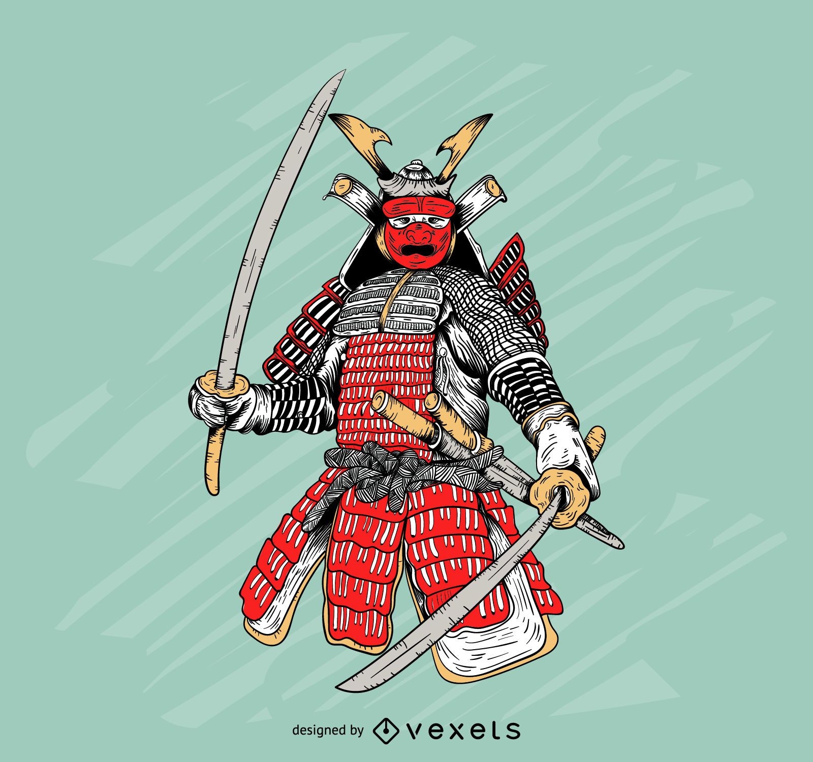
Ilustração colorida de armadura de samurai
Escolha uma pasta
Todos os favoritos
Criar novo
Salvar
Ilustração colorida de armadura de samurai
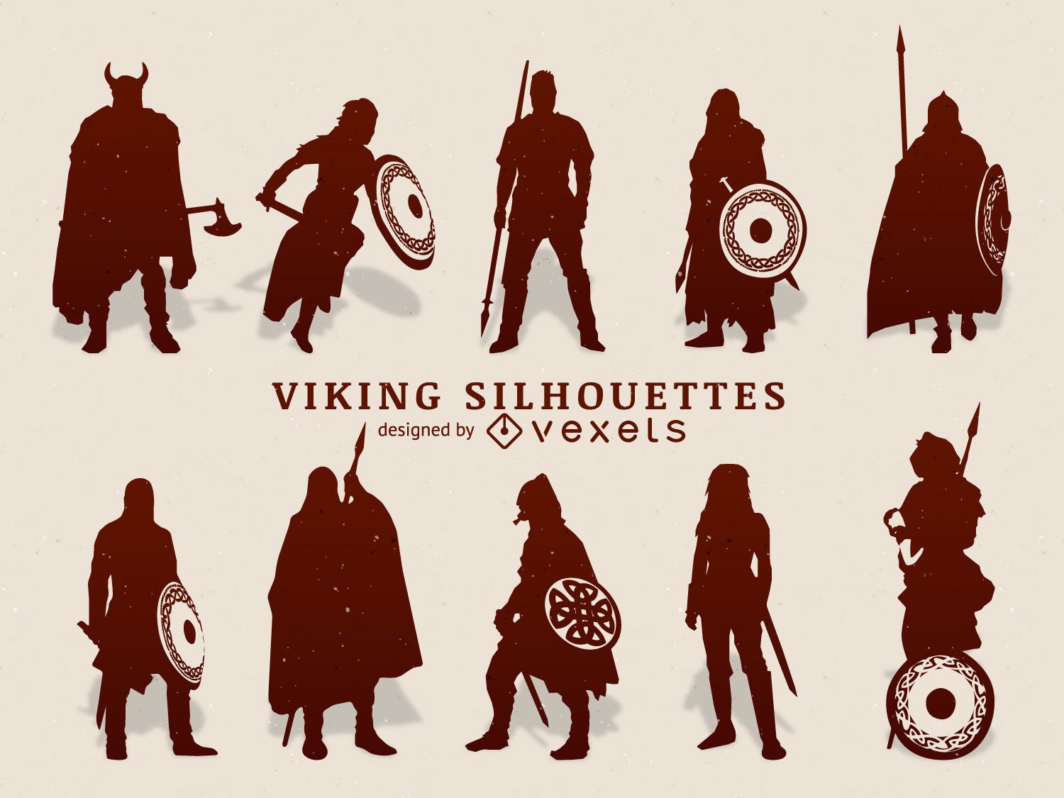
Conjunto de silhueta de vikings
Escolha uma pasta
Todos os favoritos
Criar novo
Salvar
Conjunto de silhueta de vikings
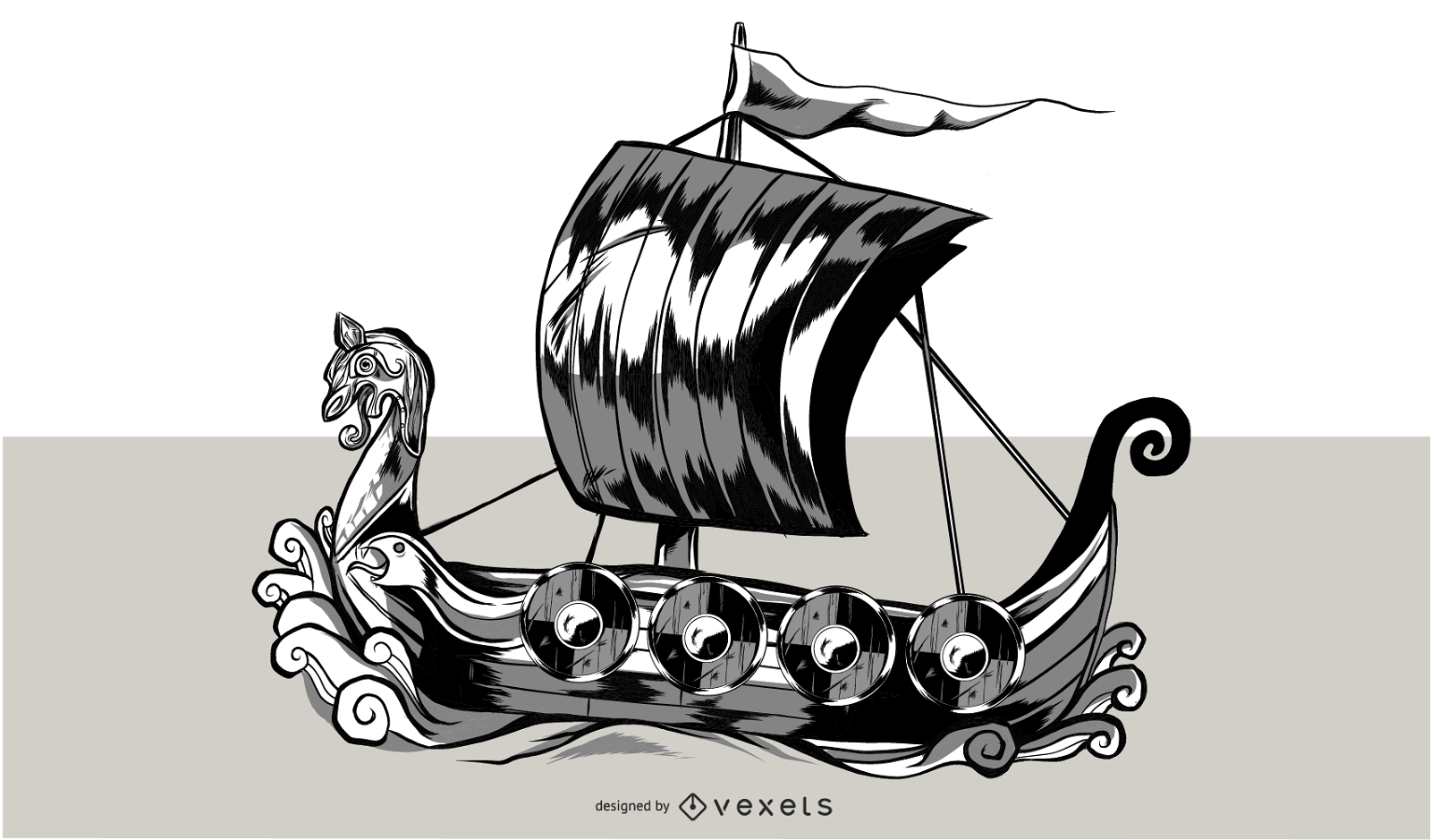
Ilustração do navio viking
Escolha uma pasta
Todos os favoritos
Criar novo
Salvar
Ilustração do navio viking
Pronto para imprimir
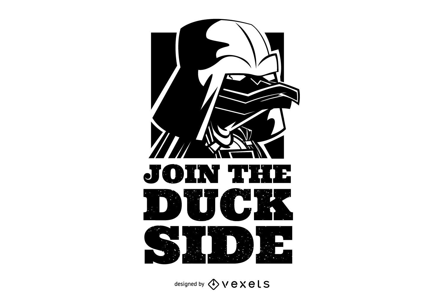
Junte-se à ilustração do lado do pato
Escolha uma pasta
Todos os favoritos
Criar novo
Salvar
Junte-se à ilustração do lado do pato
Premium
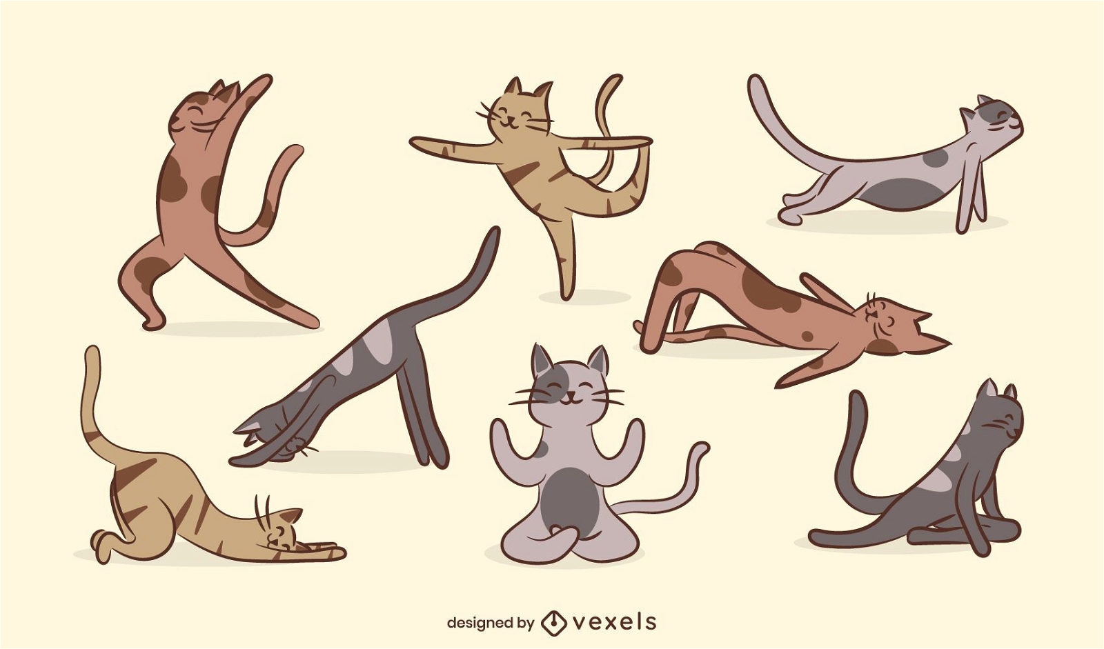
Conjunto de gato de ioga
Escolha uma pasta
Todos os favoritos
Criar novo
Salvar
Conjunto de gato de ioga
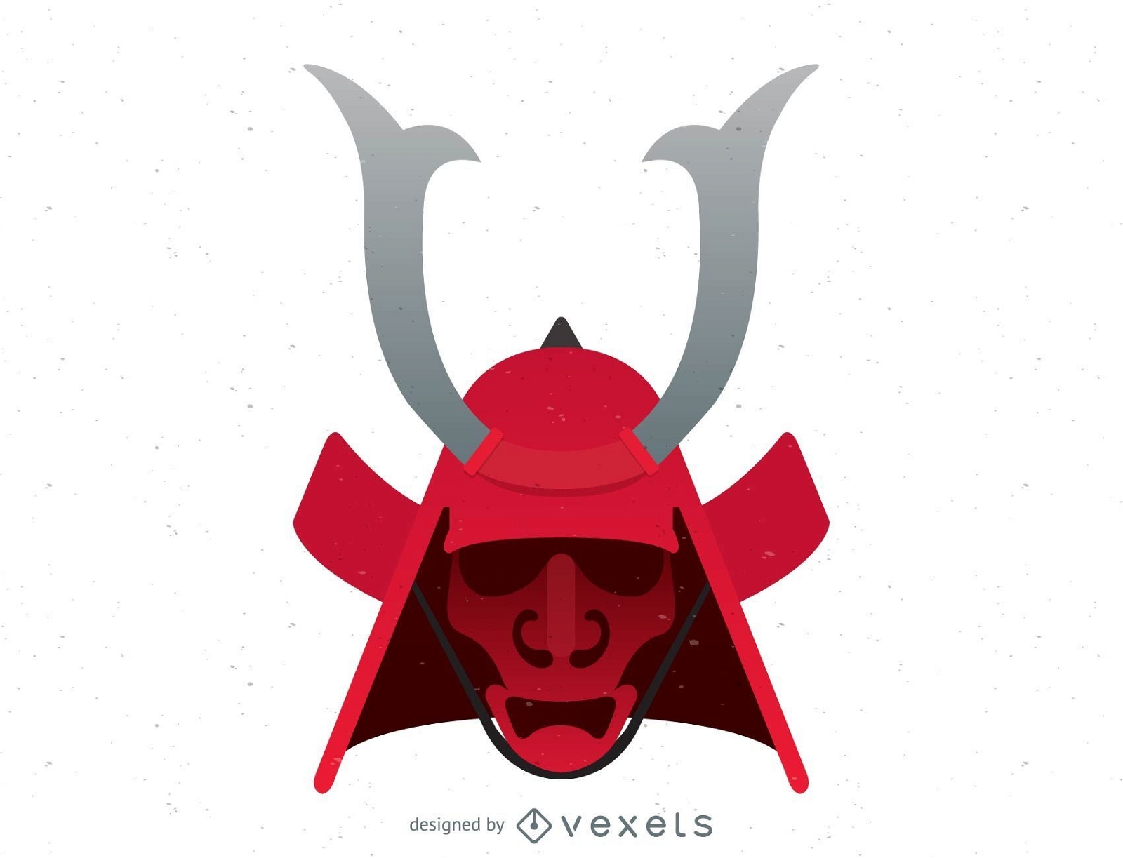
Samurai Japonês Grátis
Escolha uma pasta
Todos os favoritos
Criar novo
Salvar
Samurai Japonês Grátis
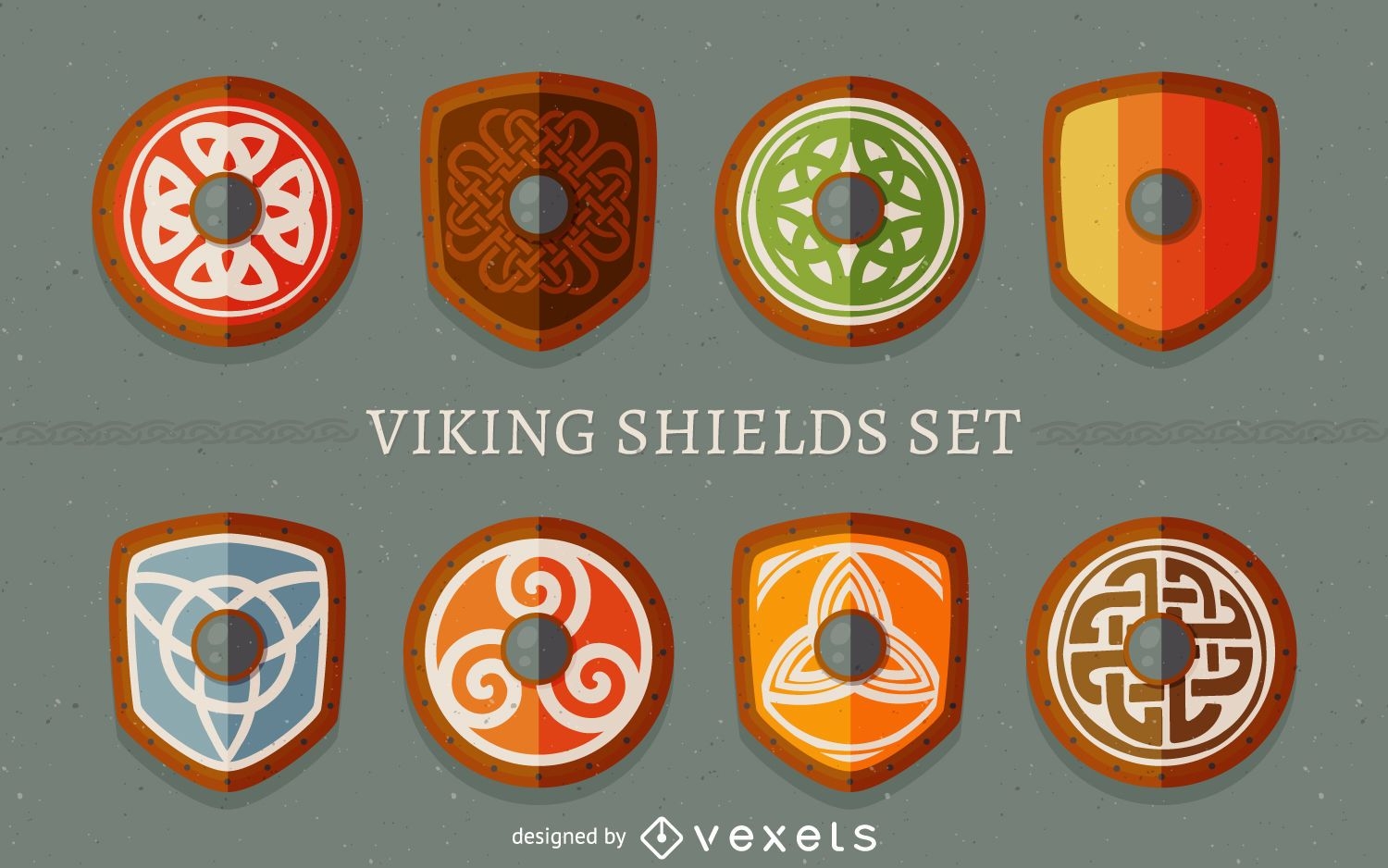
Conjunto de escudos Viking
Escolha uma pasta
Todos os favoritos
Criar novo
Salvar
Conjunto de escudos Viking
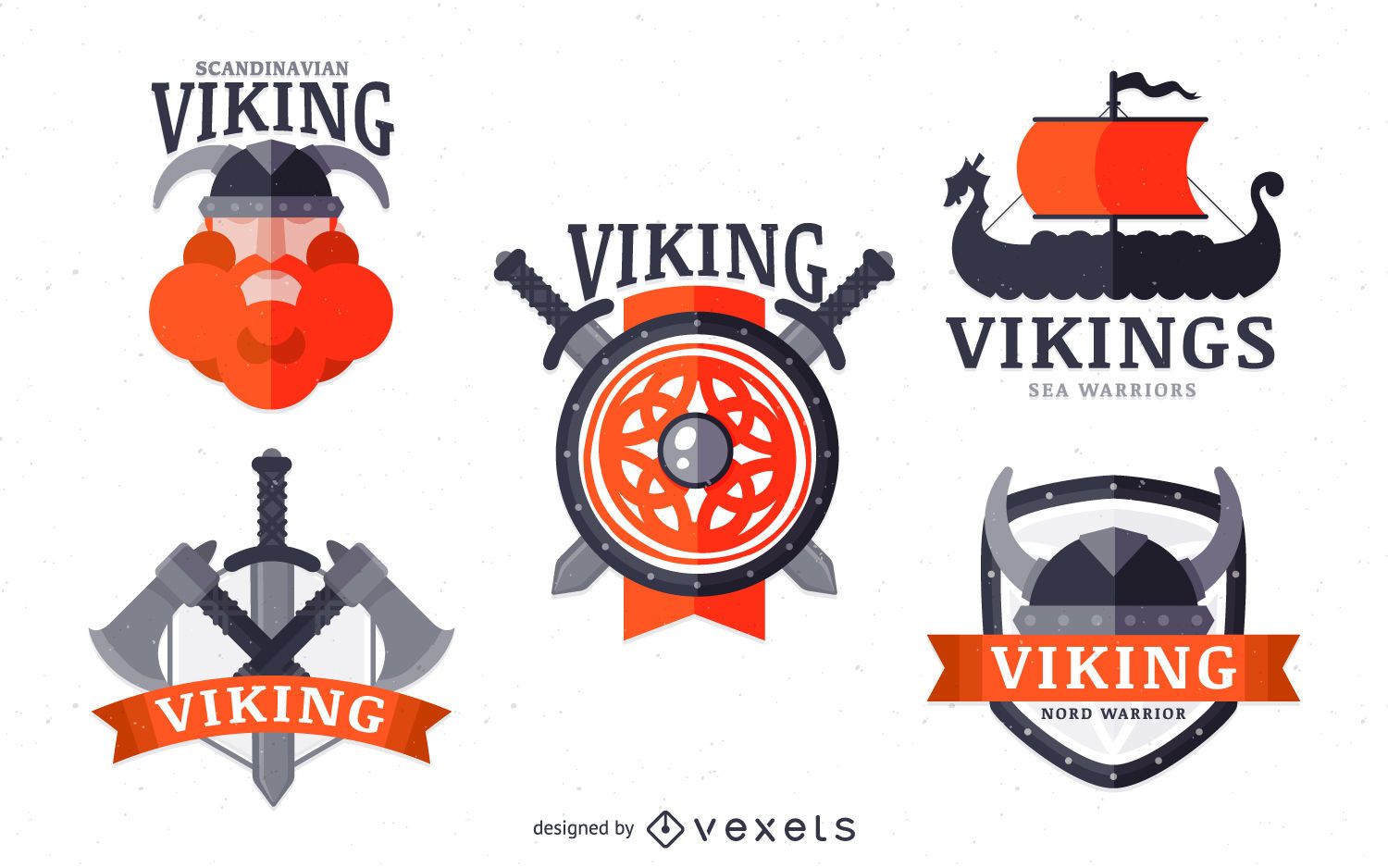
Conjunto de emblemas da etiqueta Vikings
Escolha uma pasta
Todos os favoritos
Criar novo
Salvar
Conjunto de emblemas da etiqueta Vikings
Sonho impossível
Escolha uma pasta
Todos os favoritos
Criar novo
Salvar
Sonho impossível
Premium
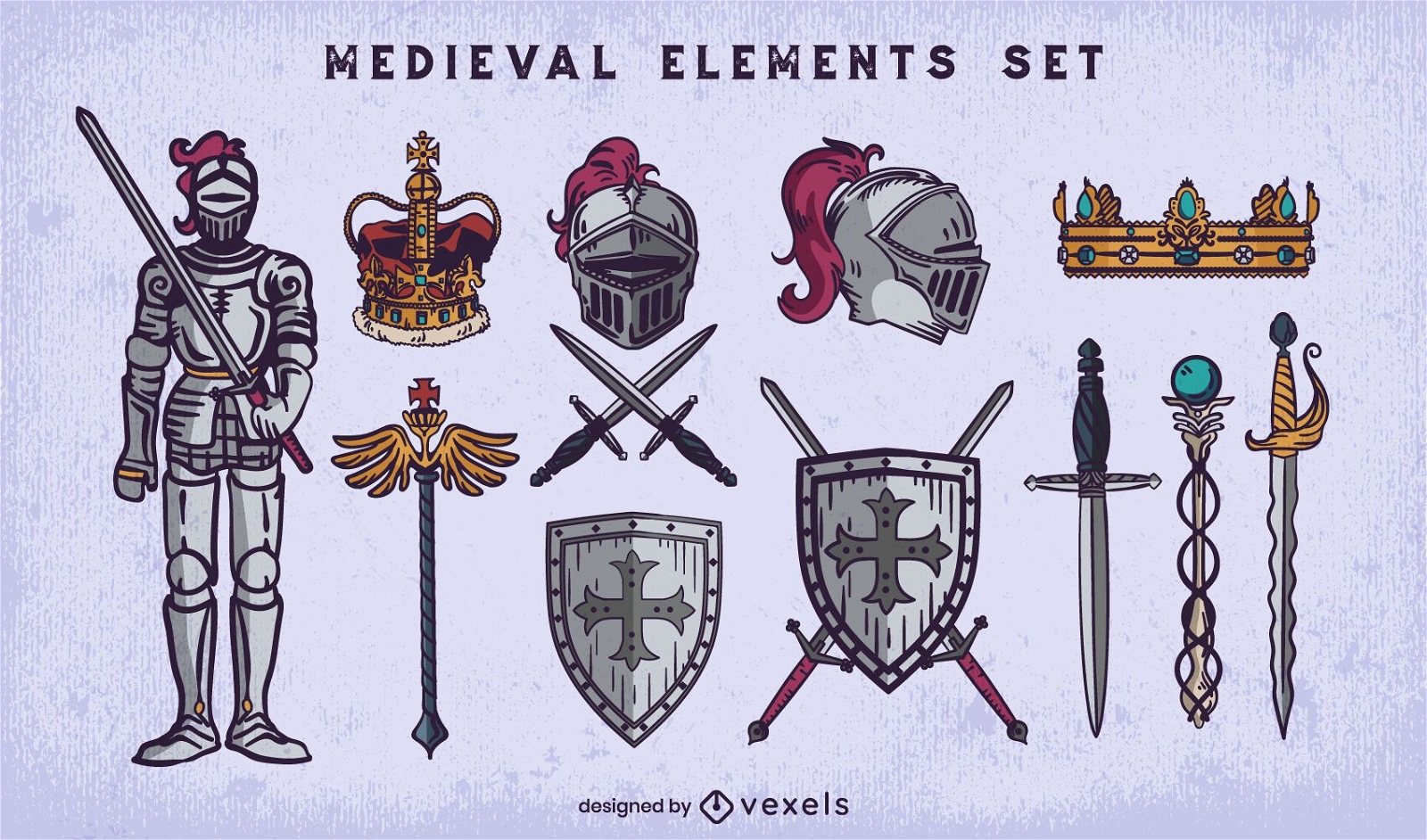
Conjunto de elementos de traço medievais
Escolha uma pasta
Todos os favoritos
Criar novo
Salvar
Conjunto de elementos de traço medievais
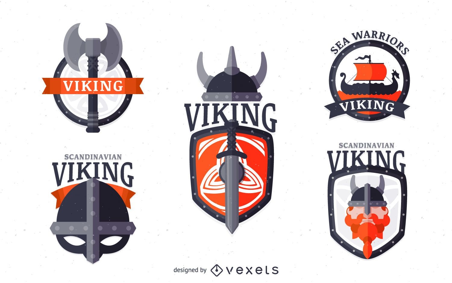
Conjunto de emblemas da etiqueta Vikings
Escolha uma pasta
Todos os favoritos
Criar novo
Salvar
Conjunto de emblemas da etiqueta Vikings
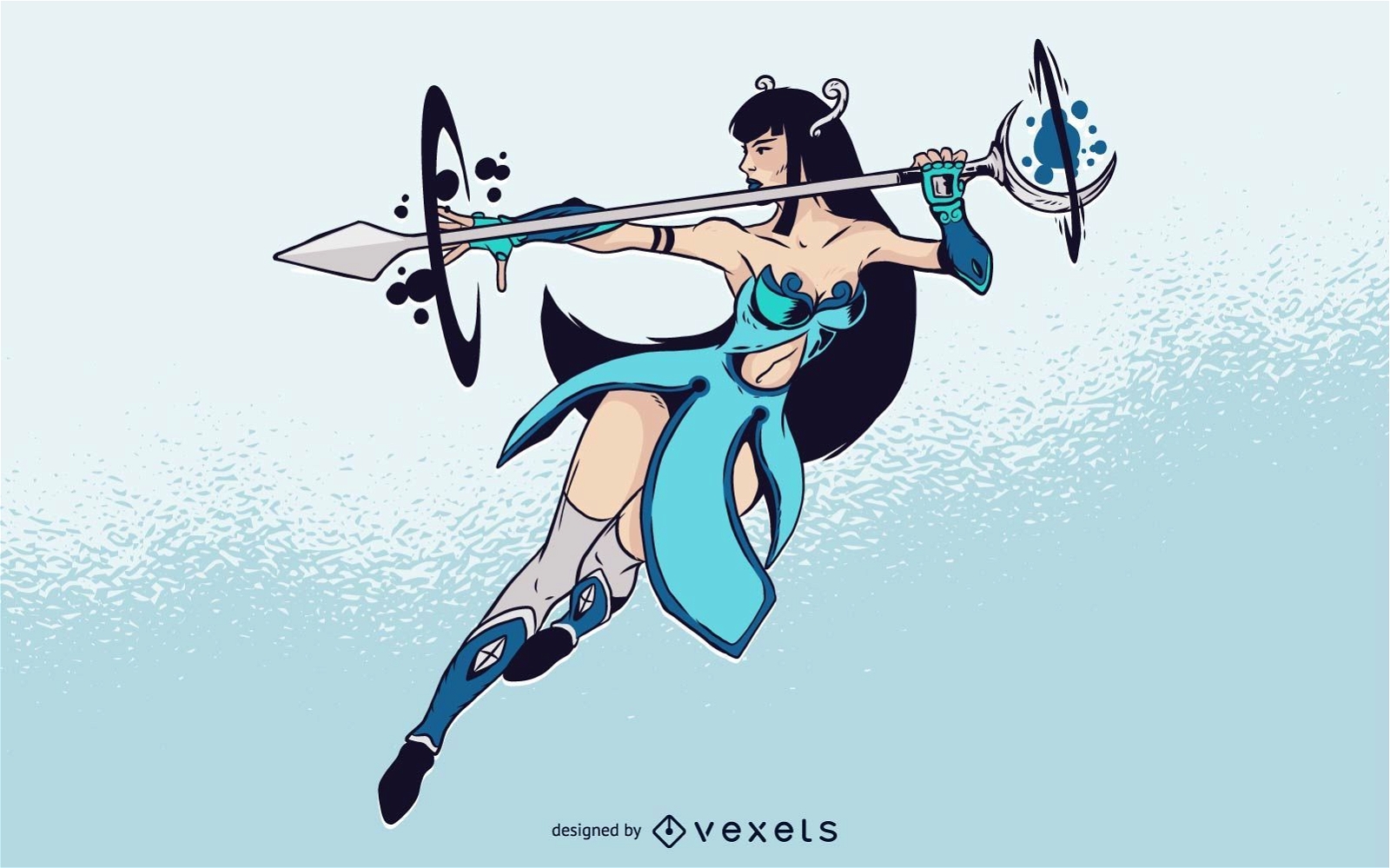
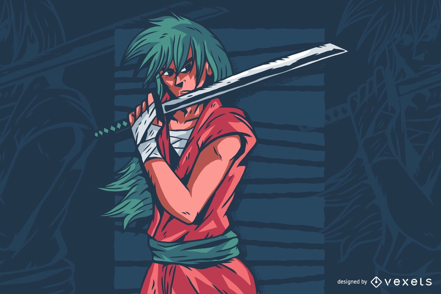
Ilustração de personagem de anime de espada
Escolha uma pasta
Todos os favoritos
Criar novo
Salvar
Ilustração de personagem de anime de espada
texto editável
Pronto para imprimir
Premium
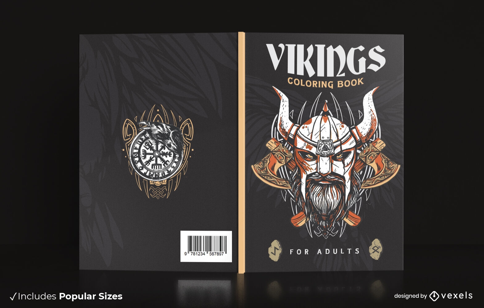
Homem viking com design de capa de livro de capacete
Escolha uma pasta
Todos os favoritos
Criar novo
Salvar
Homem viking com design de capa de livro de capacete
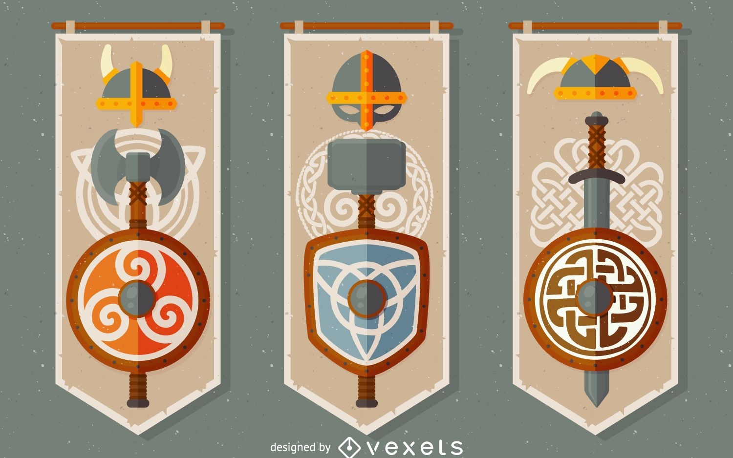
Conjunto de banner vikings celtas
Escolha uma pasta
Todos os favoritos
Criar novo
Salvar
Conjunto de banner vikings celtas
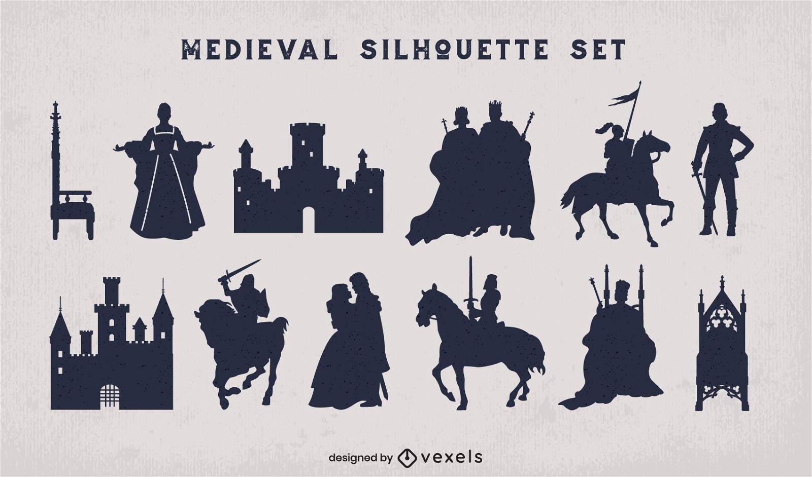
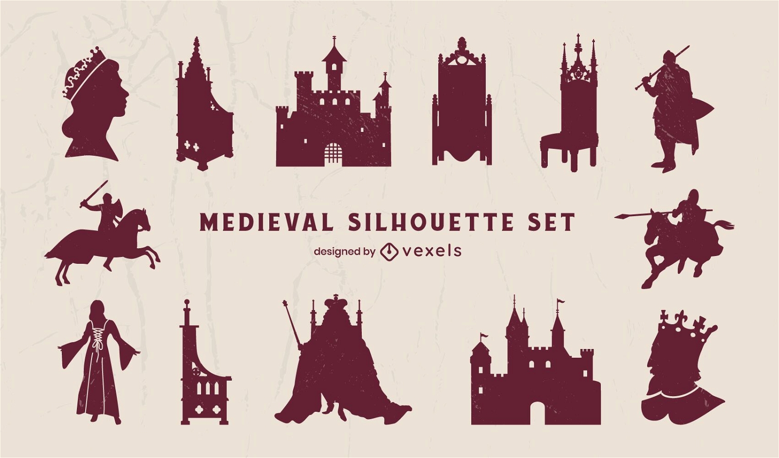
Pacote de silhueta do reino medieval
Escolha uma pasta
Todos os favoritos
Criar novo
Salvar
Pacote de silhueta do reino medieval
Premium
Conjunto de ilustração detalhada do rei medieval
Escolha uma pasta
Todos os favoritos
Criar novo
Salvar
Conjunto de ilustração detalhada do rei medieval
Premium
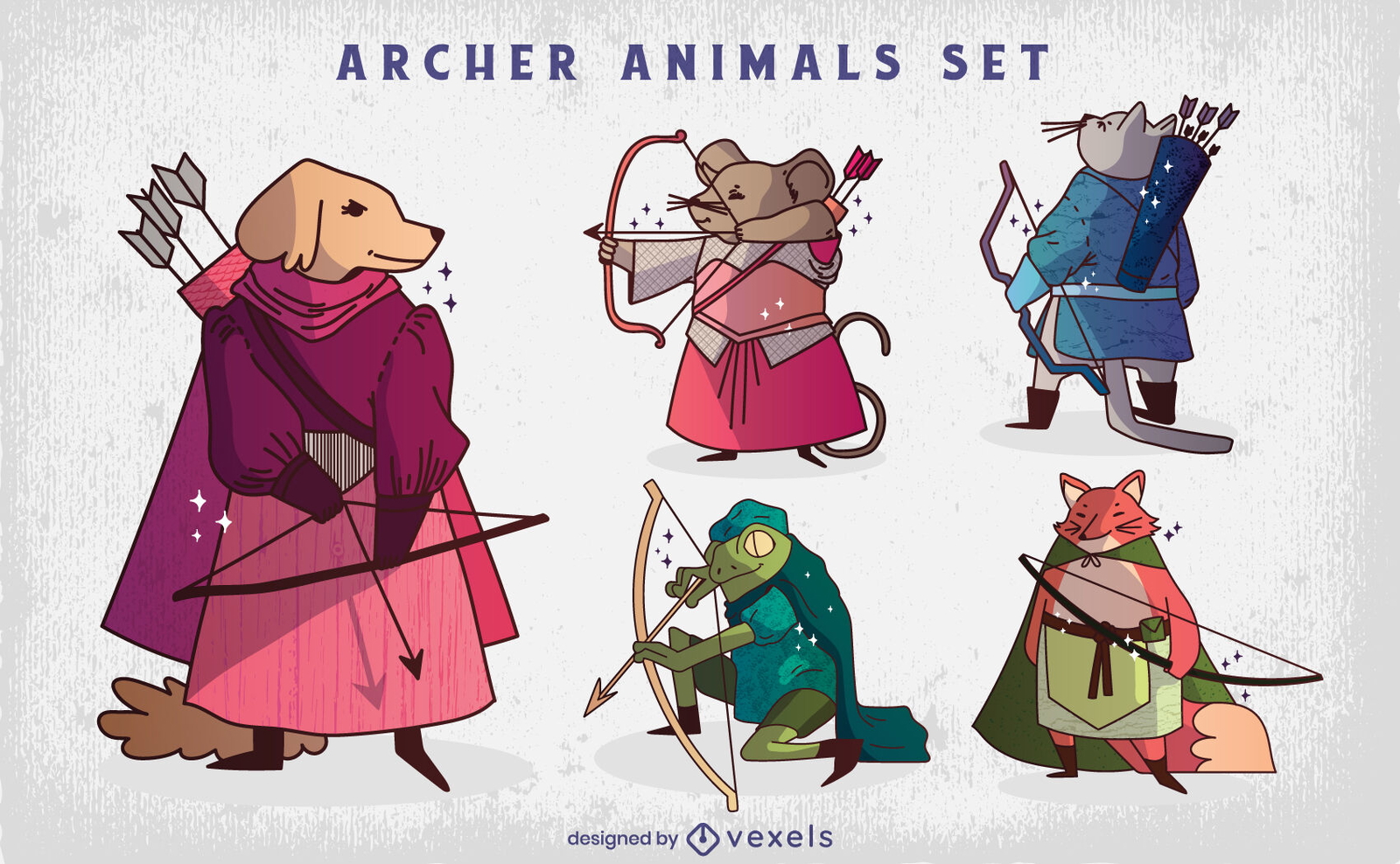
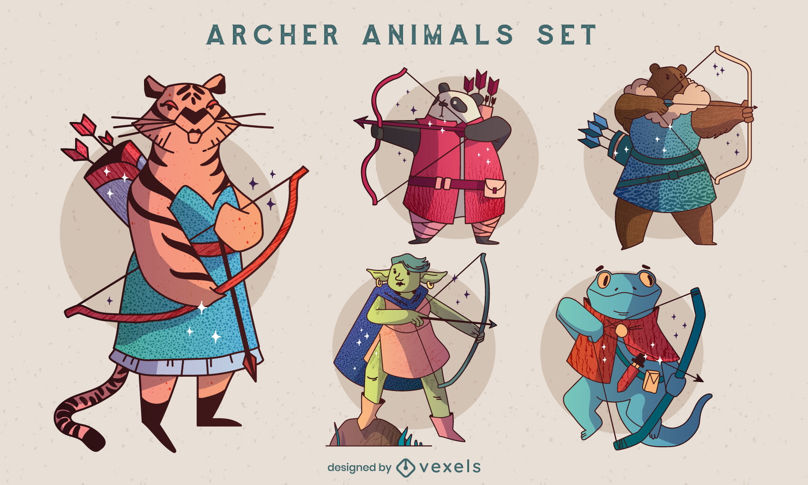
Ilustração de personagens animais com arco e flecha
Escolha uma pasta
Todos os favoritos
Criar novo
Salvar
Ilustração de personagens animais com arco e flecha
Premium
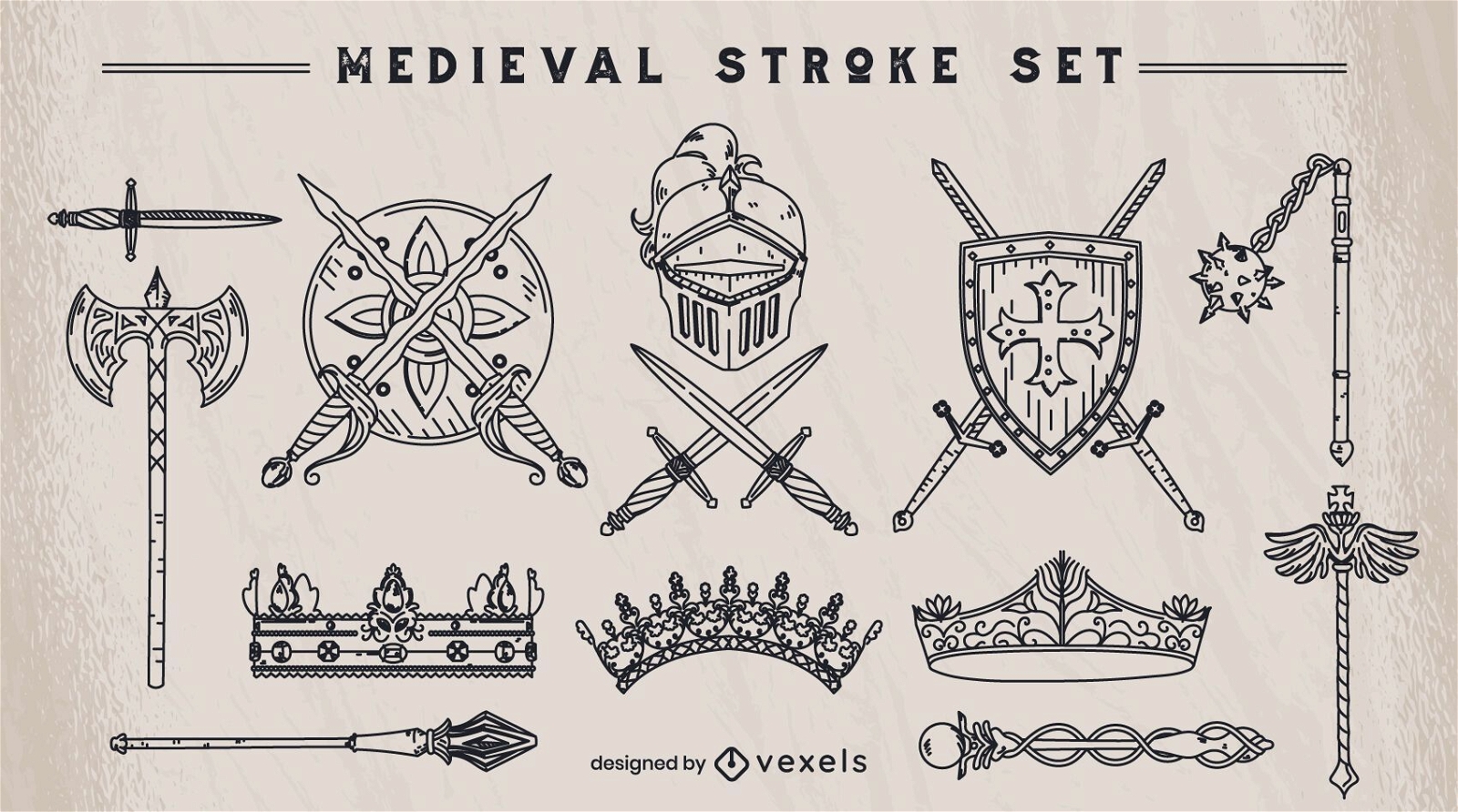
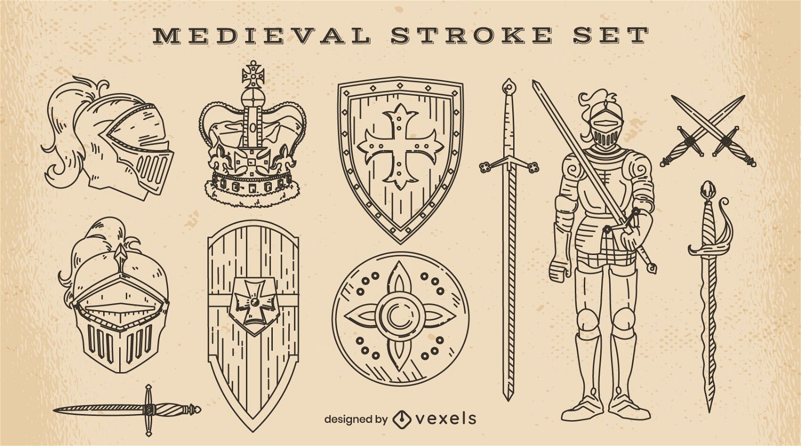
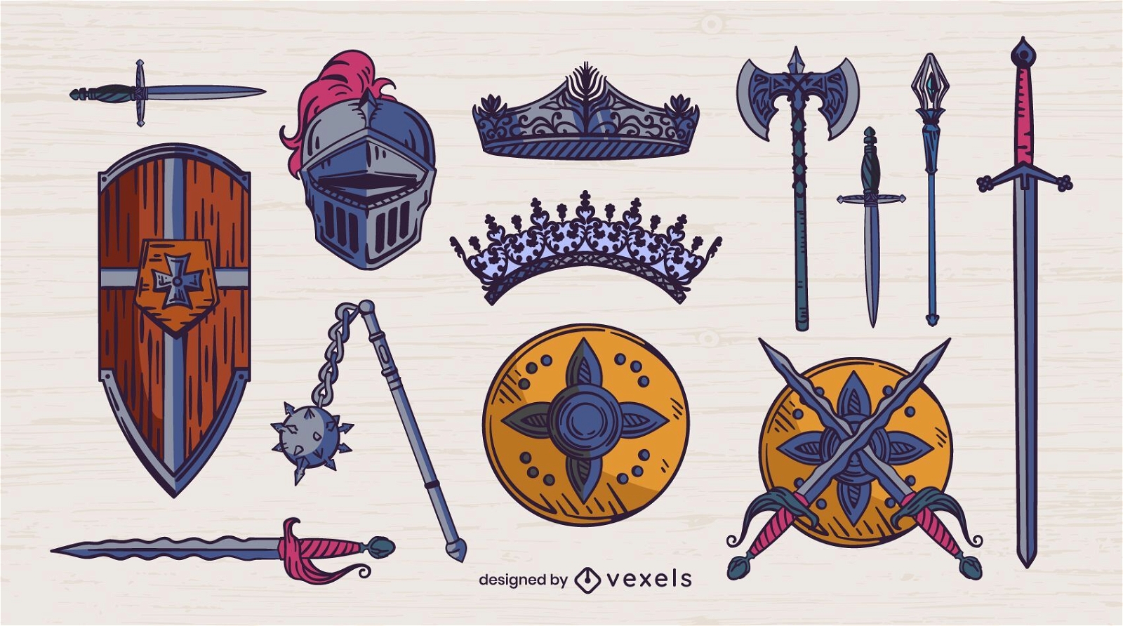
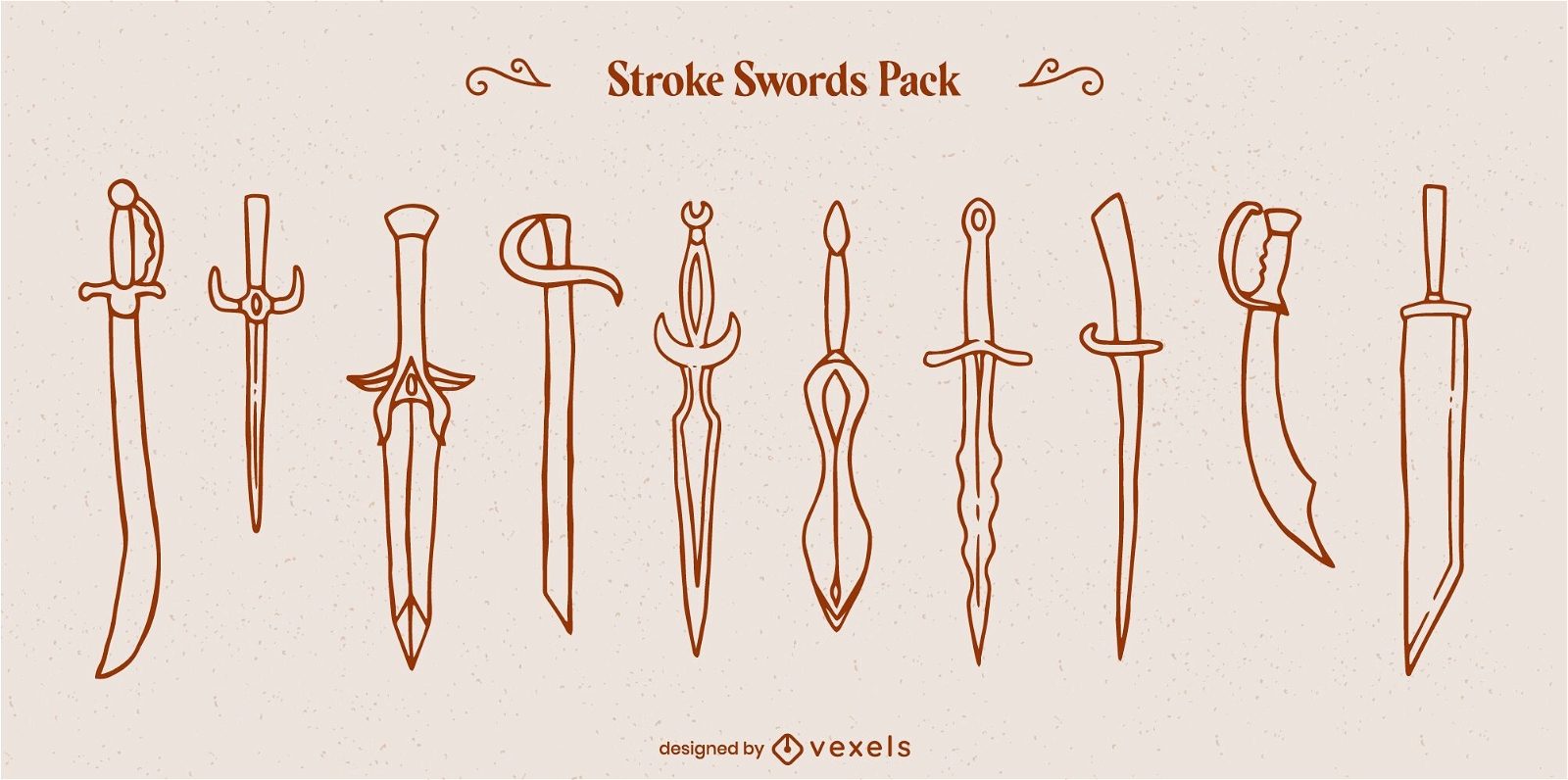
Conjunto de elementos medievais de traço
Escolha uma pasta
Todos os favoritos
Criar novo
Salvar
Conjunto de elementos medievais de traço
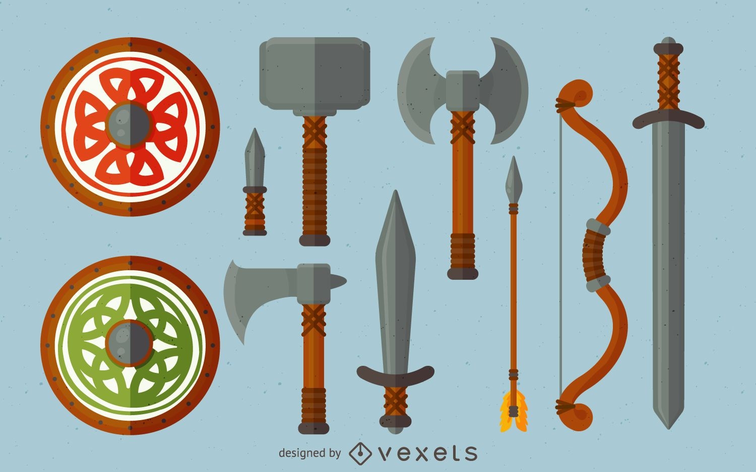
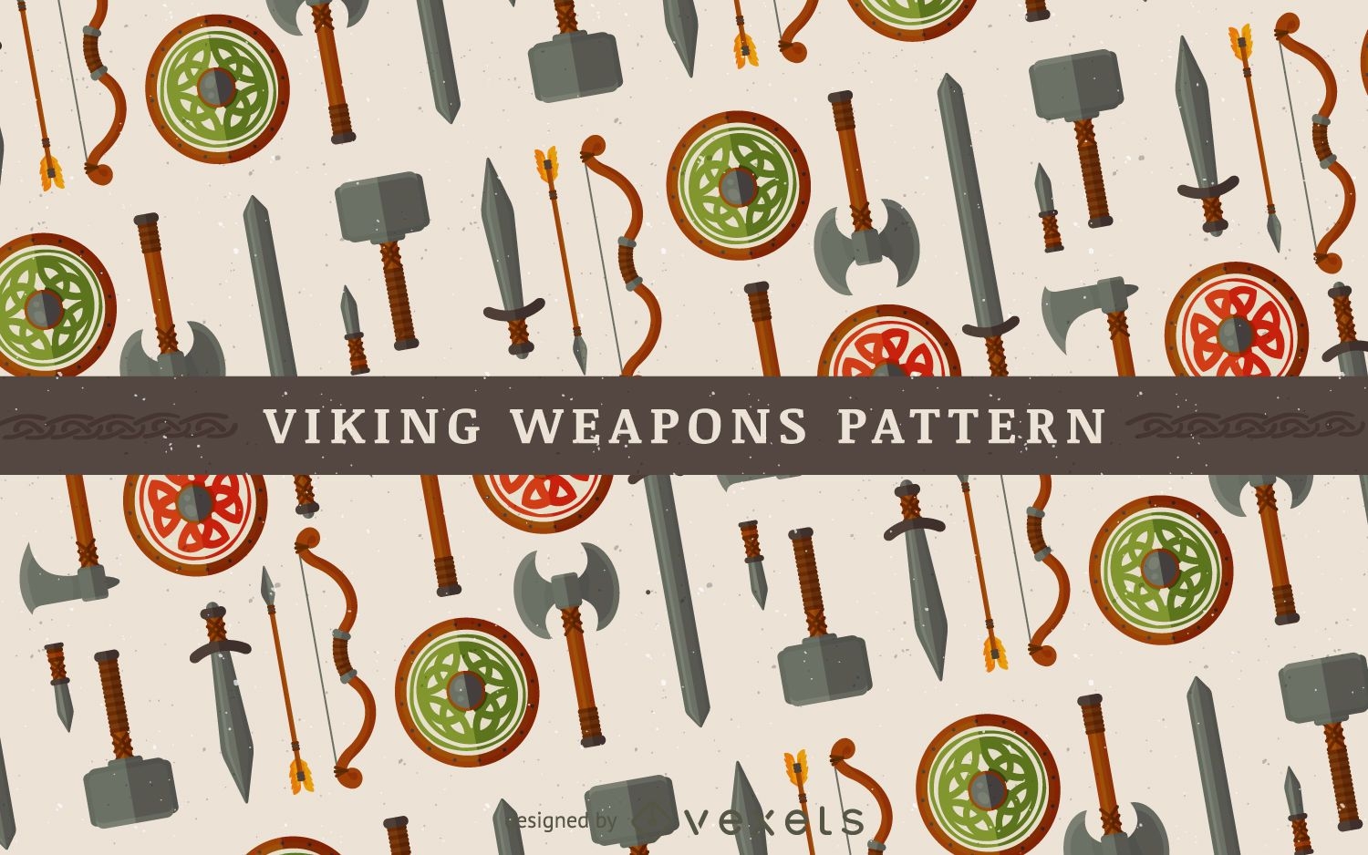
Conjunto de ilustração de armas Vikings
Escolha uma pasta
Todos os favoritos
Criar novo
Salvar
Conjunto de ilustração de armas Vikings
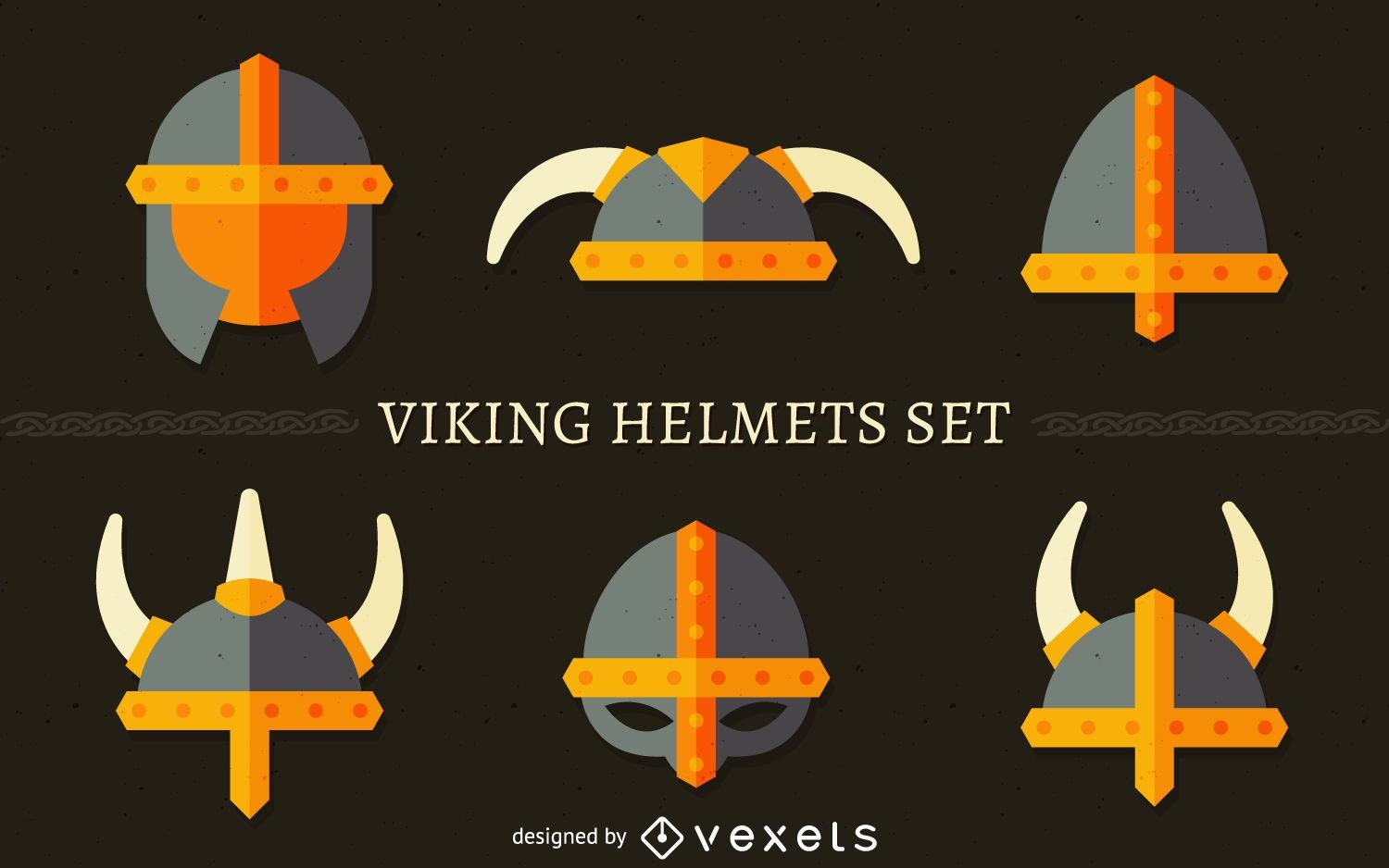
Conjunto de ilustração de capacete Viking
Escolha uma pasta
Todos os favoritos
Criar novo
Salvar
Conjunto de ilustração de capacete Viking
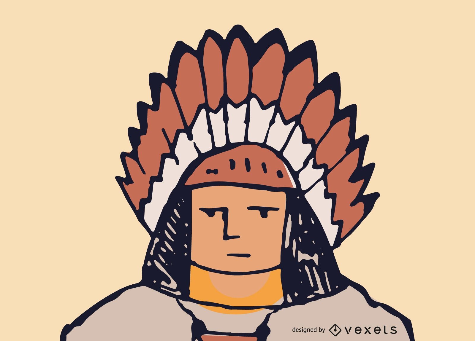
Vetor de rosto nativo americano
Escolha uma pasta
Todos os favoritos
Criar novo
Salvar
Vetor de rosto nativo americano
Conjunto Apaganza Vector CoolKit
Escolha uma pasta
Todos os favoritos
Criar novo
Salvar
Conjunto Apaganza Vector CoolKit
Premium
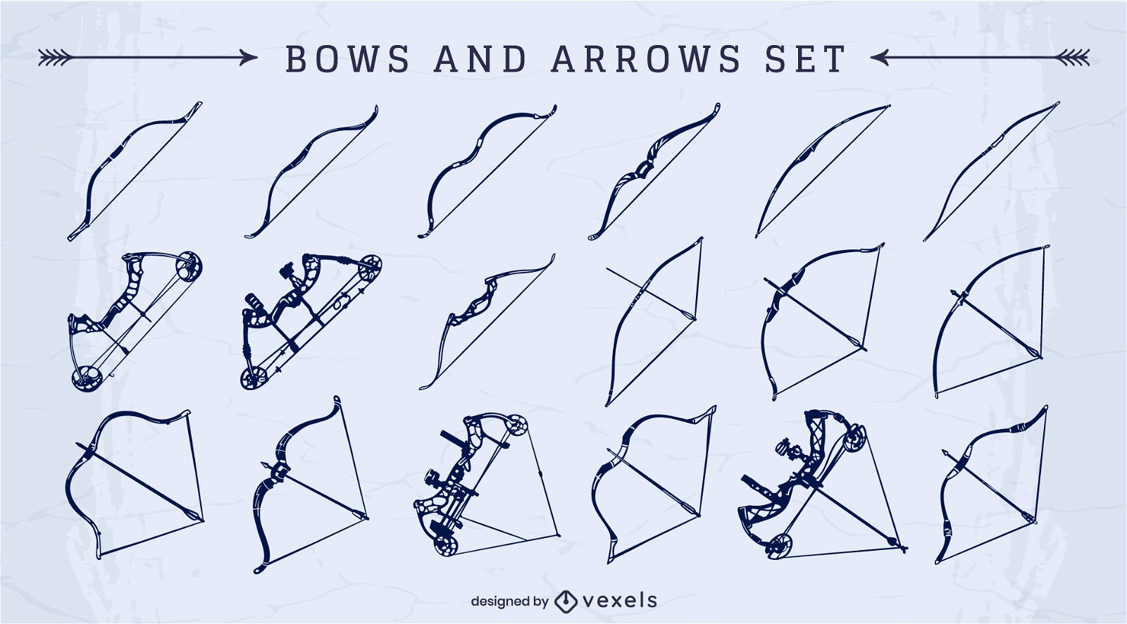
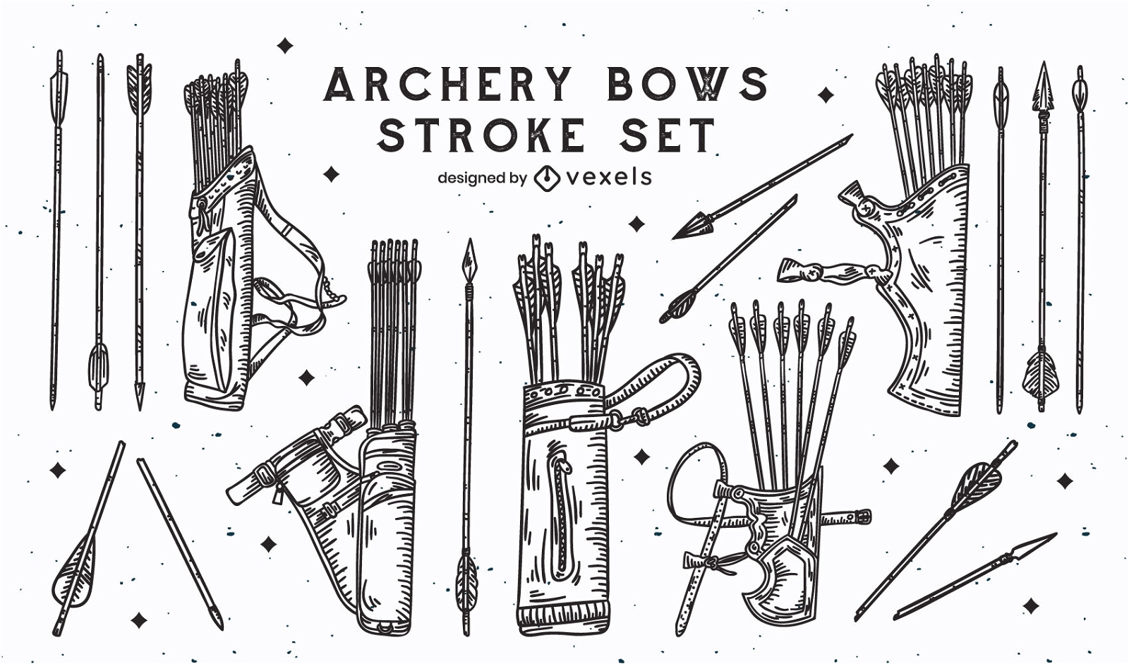
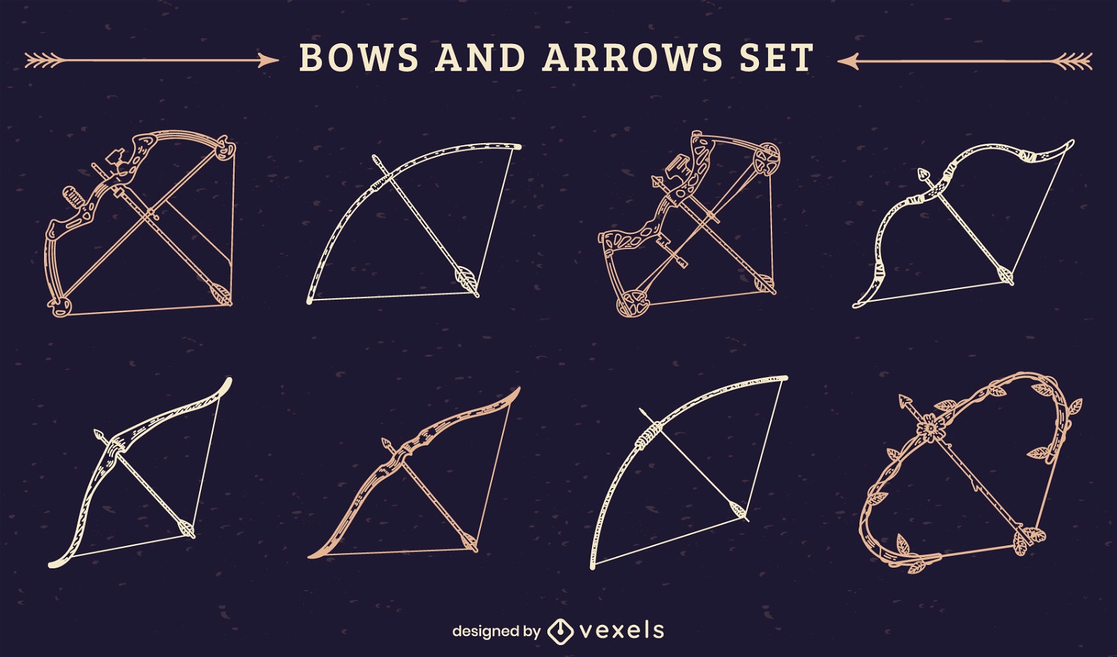
Conjunto de recorte de arcos e flechas
Escolha uma pasta
Todos os favoritos
Criar novo
Salvar
Conjunto de recorte de arcos e flechas
Premium
Pacote de silhueta de elementos do reino medieval
Escolha uma pasta
Todos os favoritos
Criar novo
Salvar
Pacote de silhueta de elementos do reino medieval
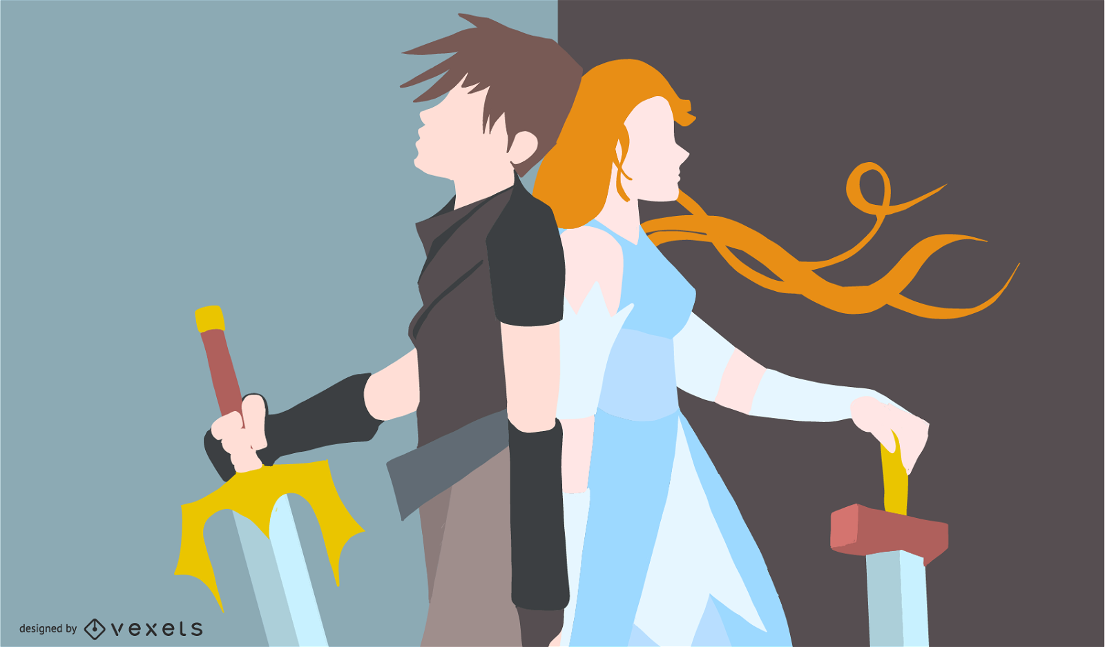
Ilustração de casal guerreiro anime
Escolha uma pasta
Todos os favoritos
Criar novo
Salvar
Ilustração de casal guerreiro anime
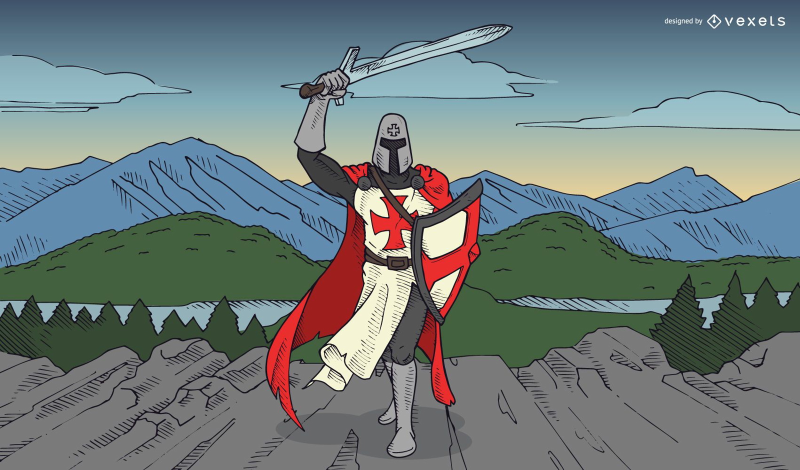
Ilustração de cavaleiro templário
Escolha uma pasta
Todos os favoritos
Criar novo
Salvar
Ilustração de cavaleiro templário
Premium
Conjunto de tiro com arco e flecha
Escolha uma pasta
Todos os favoritos
Criar novo
Salvar
Conjunto de tiro com arco e flecha
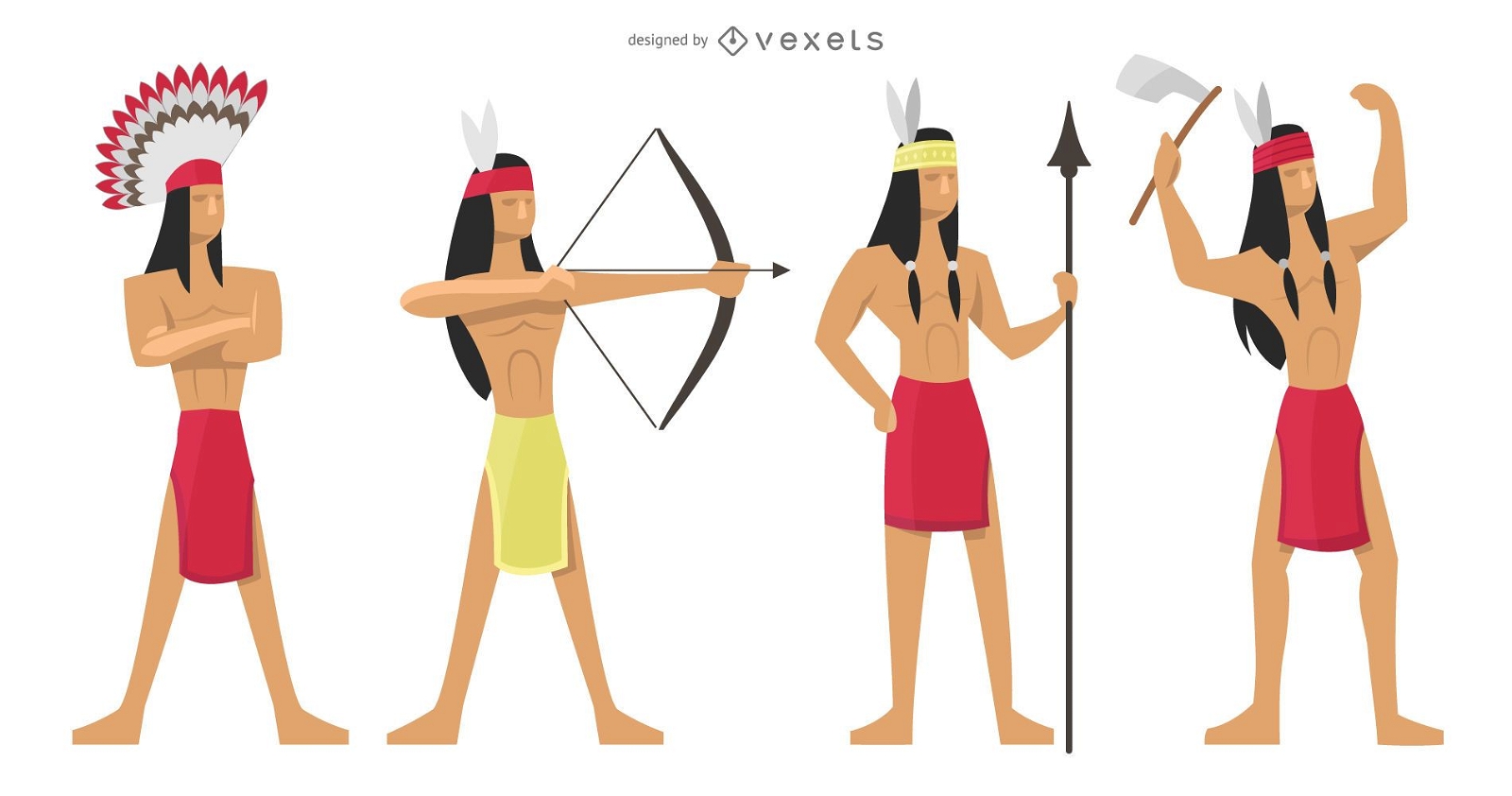
Conjunto de ilustração de guerreiros índios
Escolha uma pasta
Todos os favoritos
Criar novo
Salvar
Conjunto de ilustração de guerreiros índios
Premium
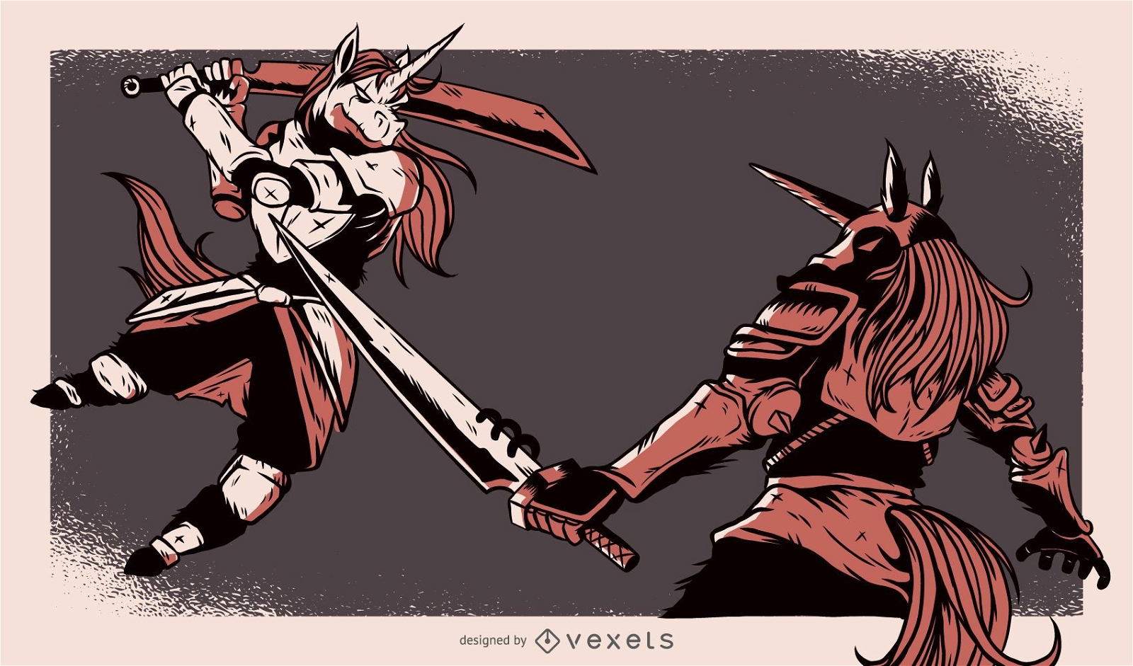
Unicorns Fight Ilustração
Escolha uma pasta
Todos os favoritos
Criar novo
Salvar
Unicorns Fight Ilustração
Premium
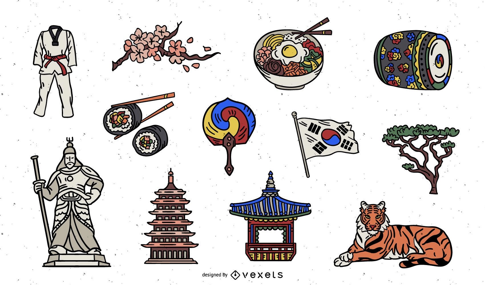
Pacote de Elementos Coloridos da Coreia do Sul
Escolha uma pasta
Todos os favoritos
Criar novo
Salvar
Pacote de Elementos Coloridos da Coreia do Sul
Premium
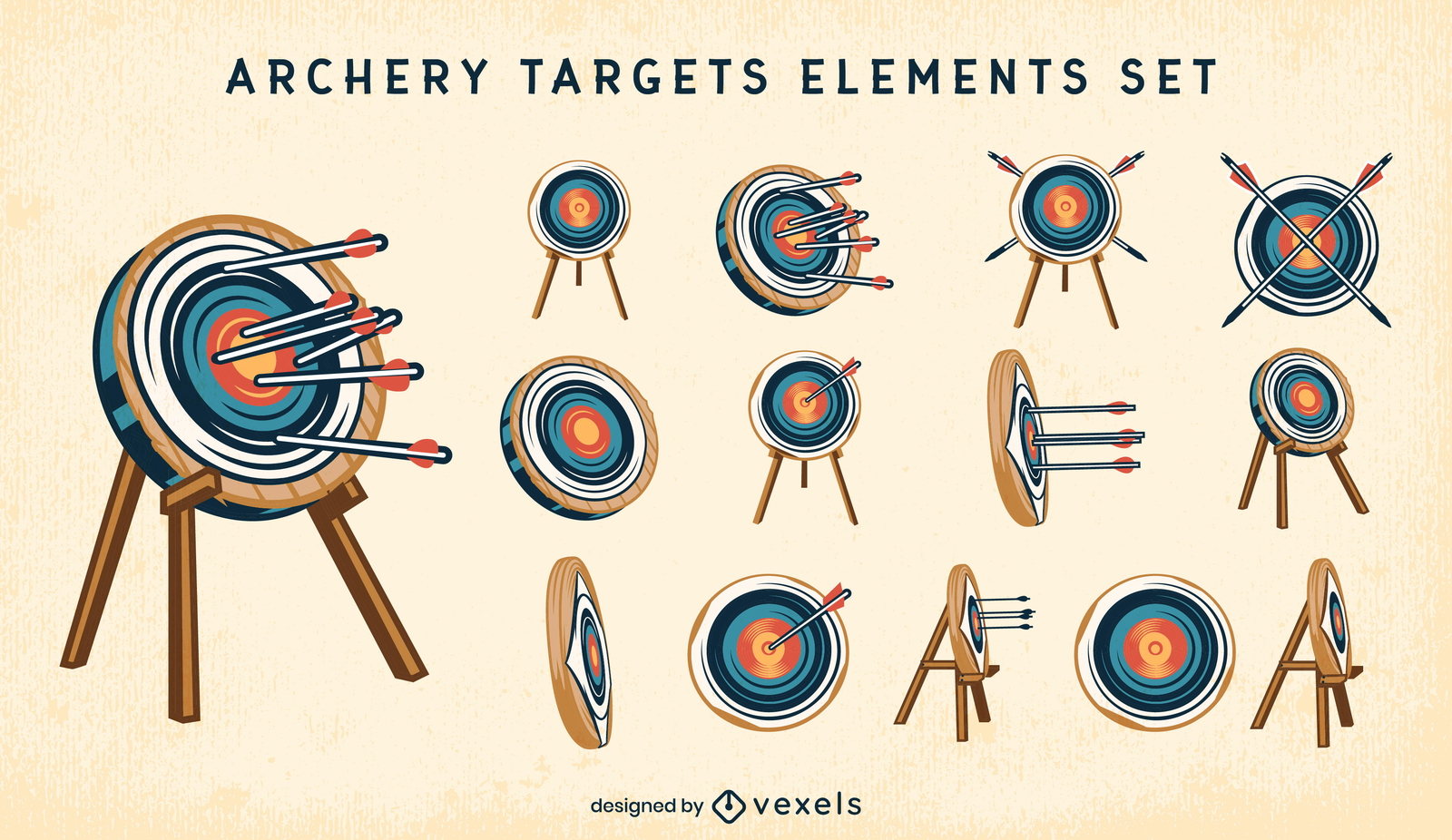
Alvos de tiro com arco e traço de cor dos elementos das flechas
Escolha uma pasta
Todos os favoritos
Criar novo
Salvar
Alvos de tiro com arco e traço de cor dos elementos das flechas
Premium
Conjunto de ilustração de personagens de animais com arco e flecha
Escolha uma pasta
Todos os favoritos
Criar novo
Salvar
Conjunto de ilustração de personagens de animais com arco e flecha
padrão tileable
Premium
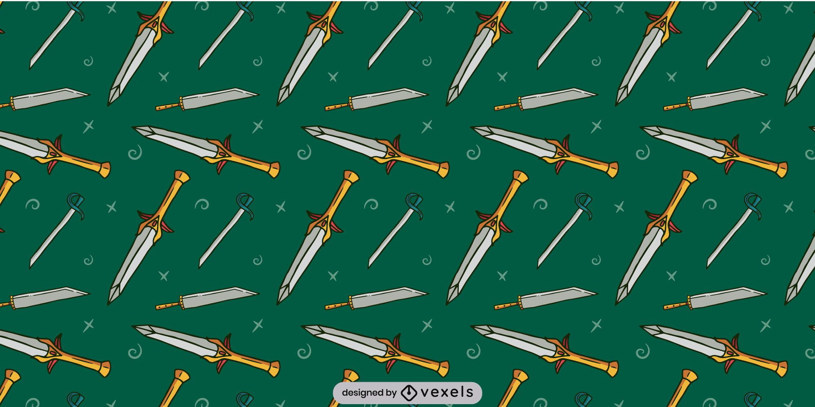
Desenho de padrão de espada medieval
Escolha uma pasta
Todos os favoritos
Criar novo
Salvar
Desenho de padrão de espada medieval
Padrão de armas Viking
Escolha uma pasta
Todos os favoritos
Criar novo
Salvar
Padrão de armas Viking
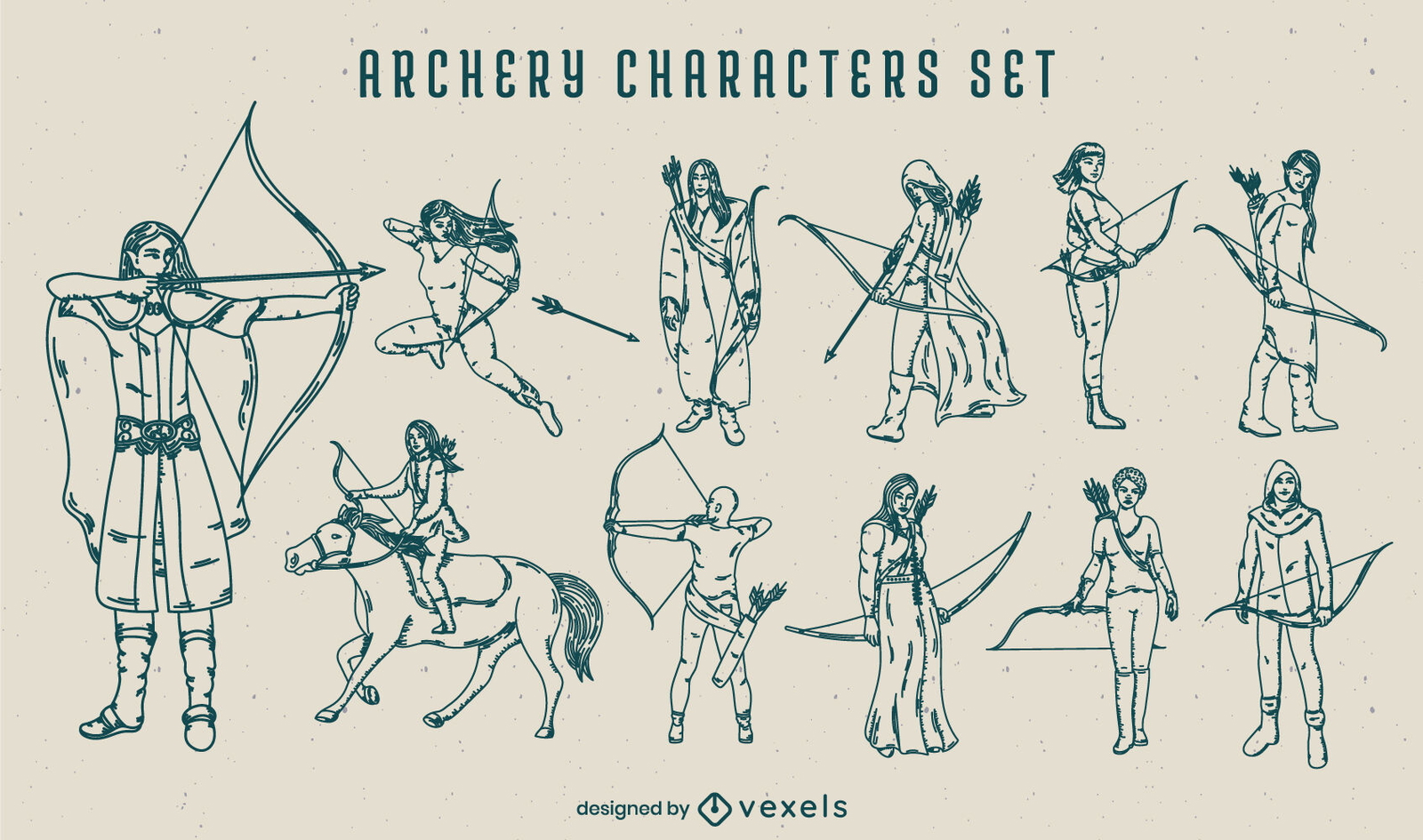
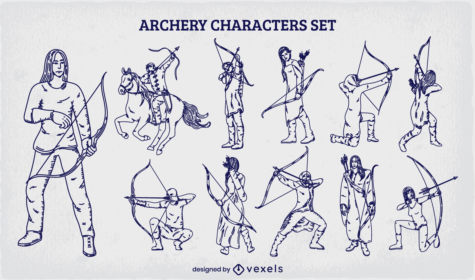
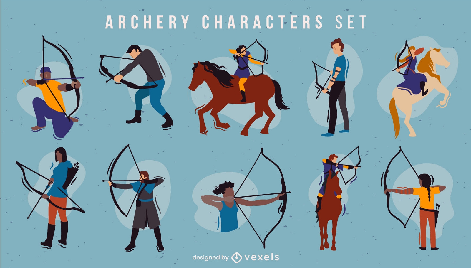
Conjunto de personagens de tiro com arco desenhado à mão
Escolha uma pasta
Todos os favoritos
Criar novo
Salvar
Conjunto de personagens de tiro com arco desenhado à mão
Premium
Conjunto medieval de traço colorido de armas
Escolha uma pasta
Todos os favoritos
Criar novo
Salvar
Conjunto medieval de traço colorido de armas
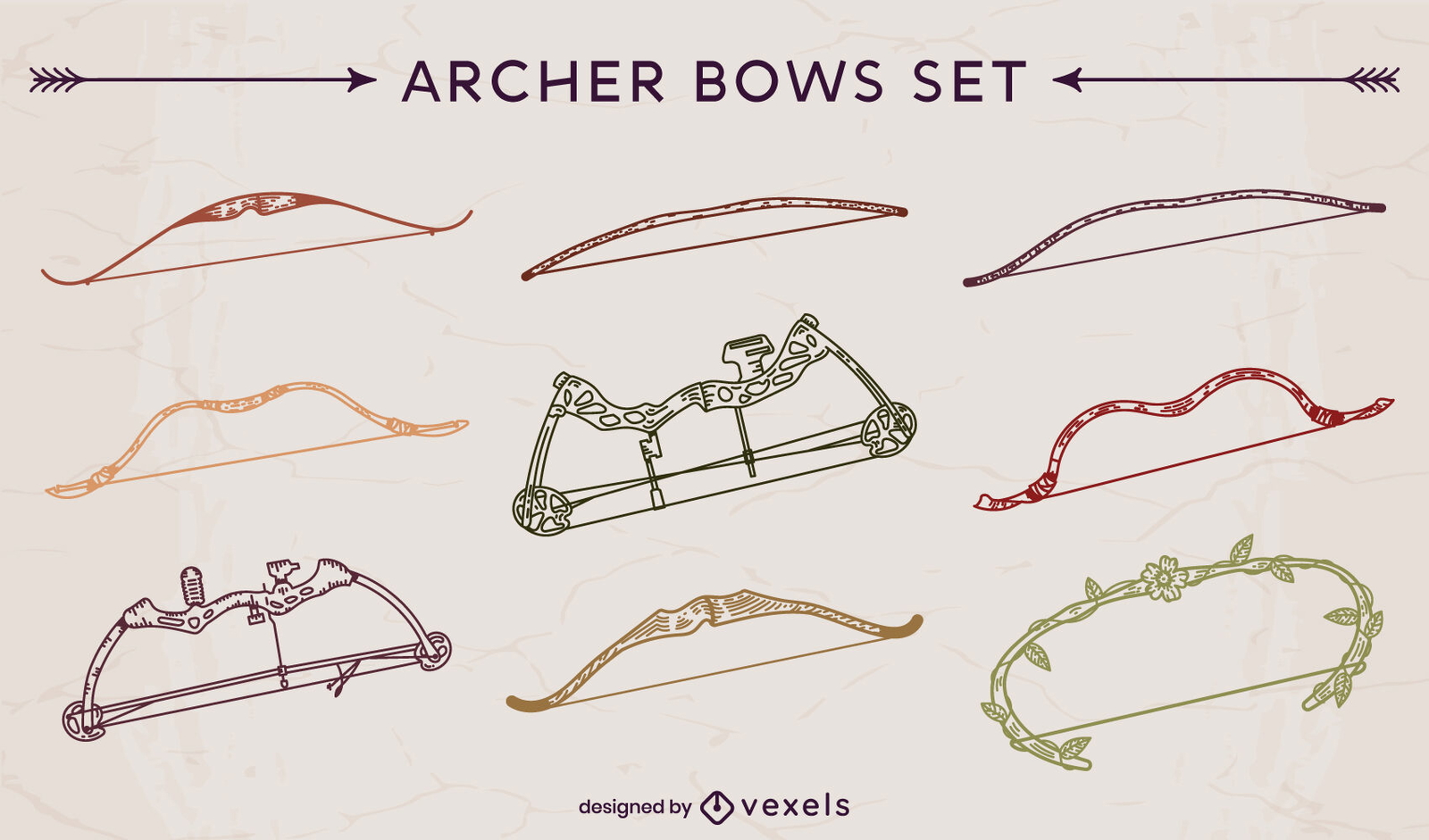
Conjunto de braçadas de arqueiro
Escolha uma pasta
Todos os favoritos
Criar novo
Salvar
Conjunto de braçadas de arqueiro
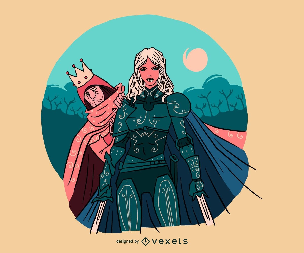
Ilustração de mulher cavaleiro protegendo príncipe
Escolha uma pasta
Todos os favoritos
Criar novo
Salvar
Ilustração de mulher cavaleiro protegendo príncipe
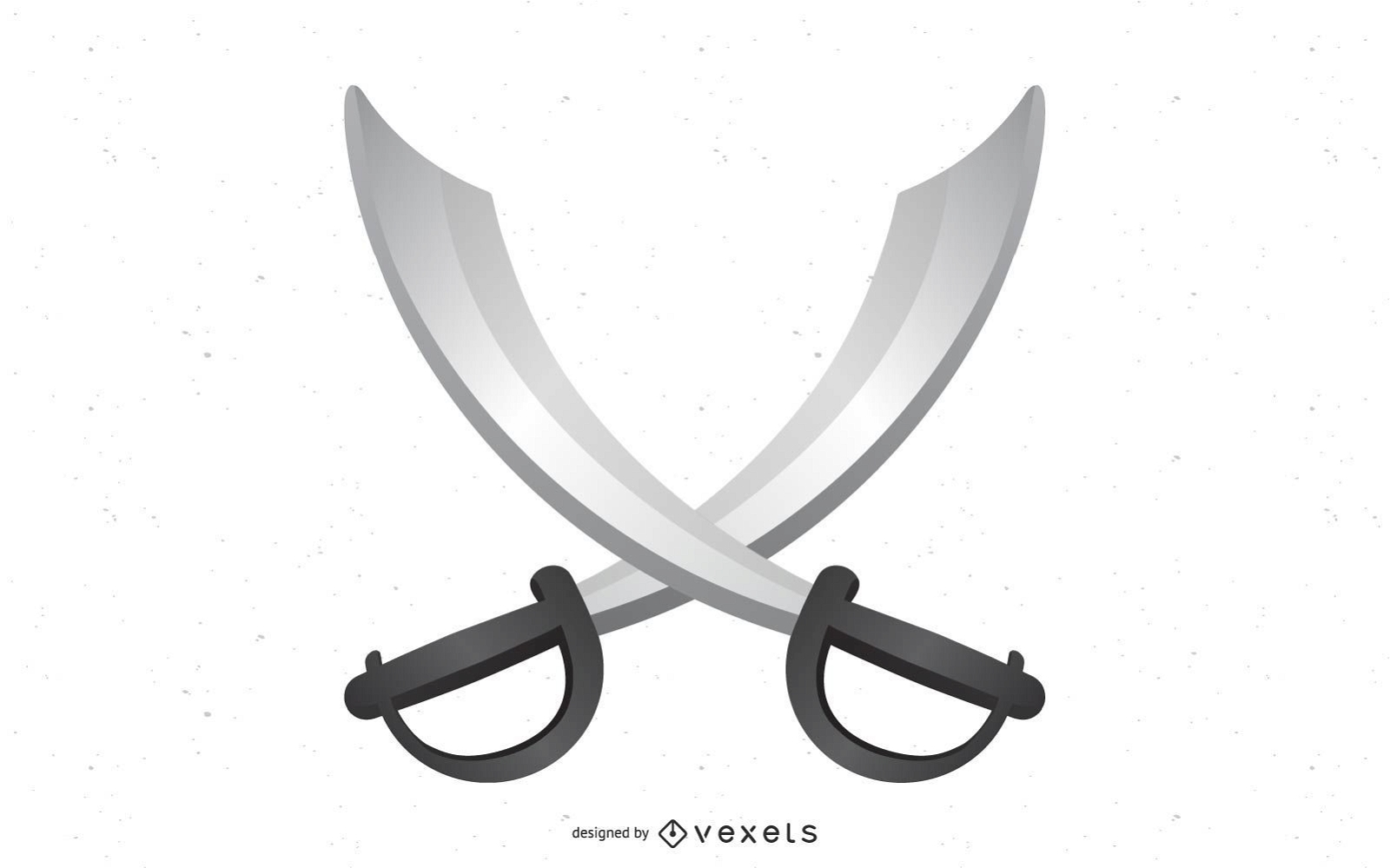
Espada realista
Escolha uma pasta
Todos os favoritos
Criar novo
Salvar
Espada realista
Premium
Arqueiros indianos desenhados à mão
Escolha uma pasta
Todos os favoritos
Criar novo
Salvar
Arqueiros indianos desenhados à mão
Premium
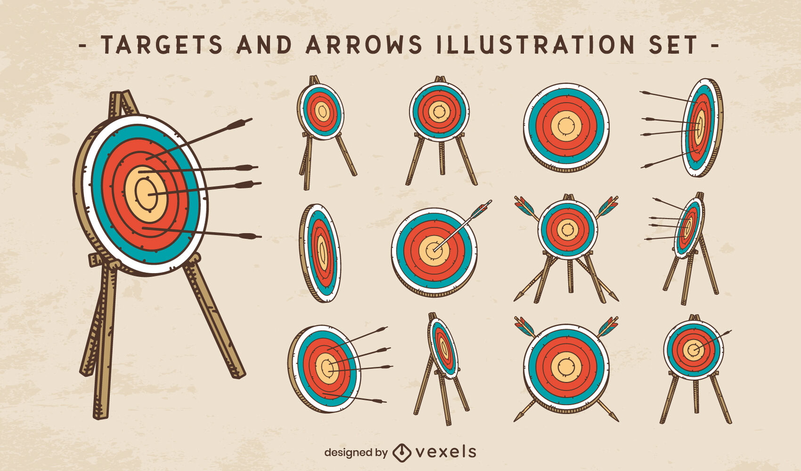
Conjunto de traços de cores de alvos e setas
Escolha uma pasta
Todos os favoritos
Criar novo
Salvar
Conjunto de traços de cores de alvos e setas
padrão tileable
Premium
Design de padrão de lâmina de armas de espada
Escolha uma pasta
Todos os favoritos
Criar novo
Salvar
Design de padrão de lâmina de armas de espada
Premium
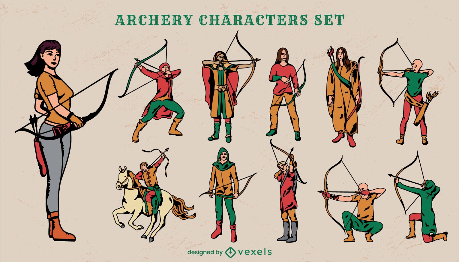
Conjunto de personagens de arco e flecha
Escolha uma pasta
Todos os favoritos
Criar novo
Salvar
Conjunto de personagens de arco e flecha
Premium
Conjunto de arte de linha de guerreiros de armas de espada
Escolha uma pasta
Todos os favoritos
Criar novo
Salvar
Conjunto de arte de linha de guerreiros de armas de espada
Pronto para imprimir
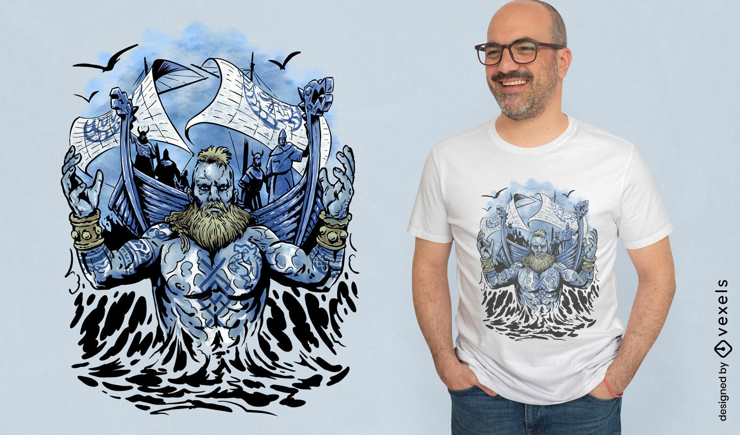
Homem viking com navios no design de camiseta do mar
Escolha uma pasta
Todos os favoritos
Criar novo
Salvar
Homem viking com navios no design de camiseta do mar
texto editável
Pronto para imprimir
Premium
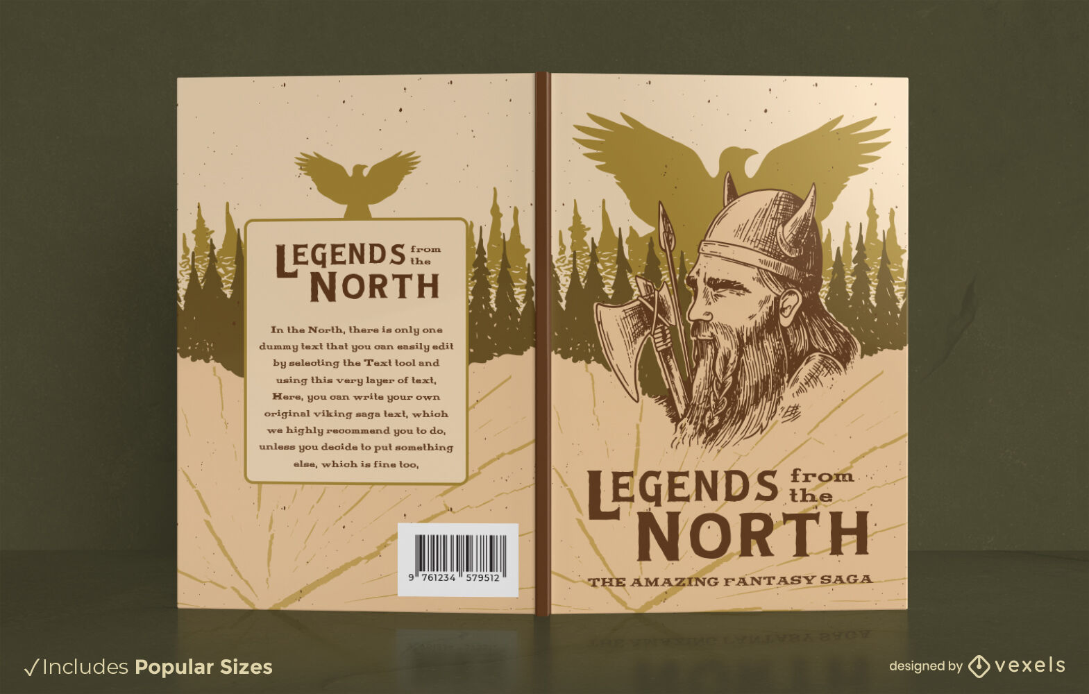
Lendas do design da capa do livro norte
Escolha uma pasta
Todos os favoritos
Criar novo
Salvar
Lendas do design da capa do livro norte
Premium
Conjunto plano de personagens de tiro com arco
Escolha uma pasta
Todos os favoritos
Criar novo
Salvar
Conjunto plano de personagens de tiro com arco
texto editável
Premium
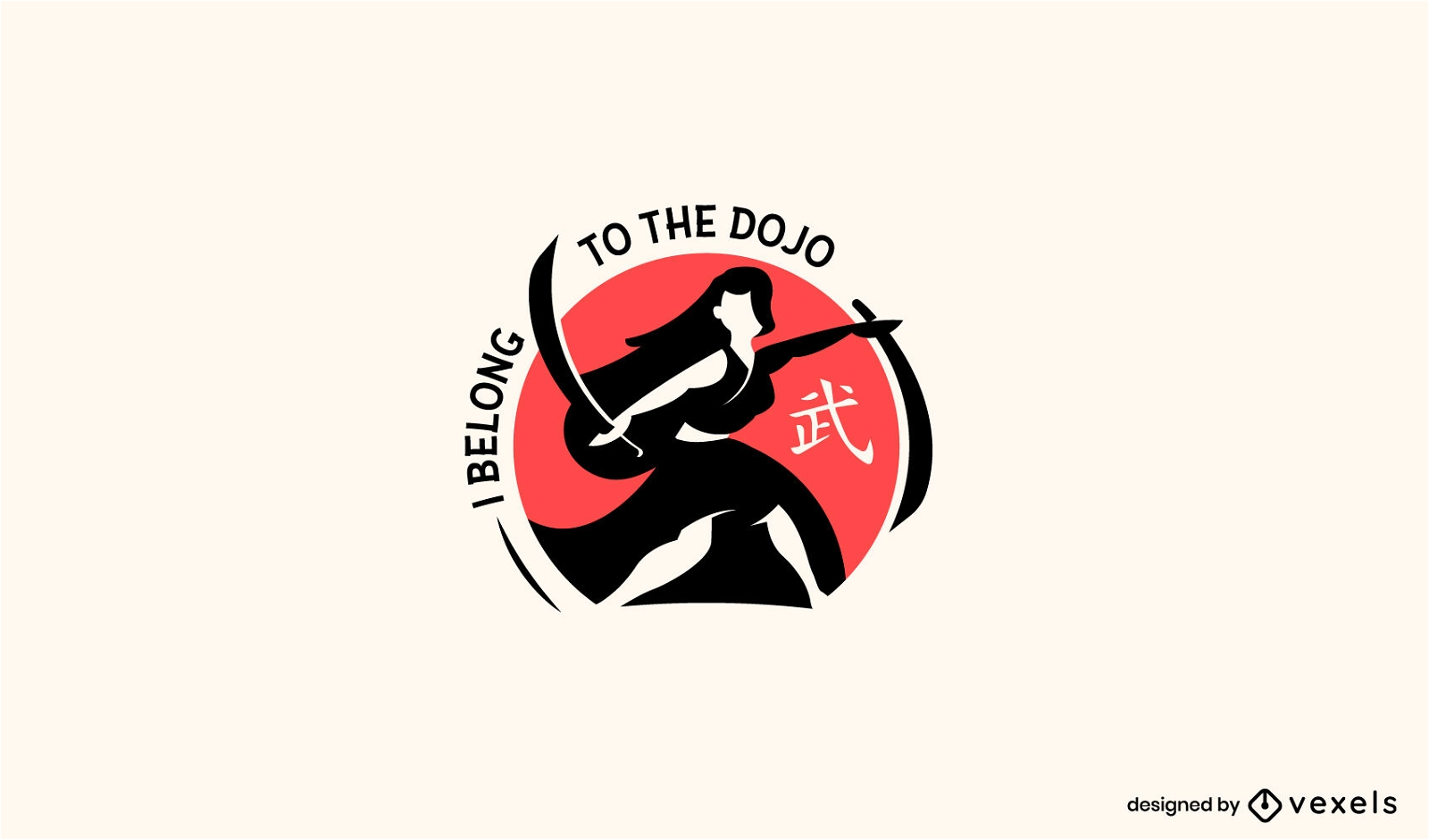
Mulher com design de logotipo katana
Escolha uma pasta
Todos os favoritos
Criar novo
Salvar
Mulher com design de logotipo katana
Conjunto de golpes de arqueiro
Escolha uma pasta
Todos os favoritos
Criar novo
Salvar
Conjunto de golpes de arqueiro
Premium
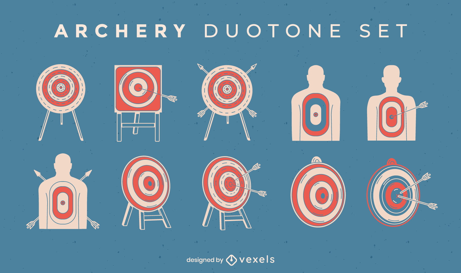
Conjunto de alvos e flechas de tiro com arco duotônico
Escolha uma pasta
Todos os favoritos
Criar novo
Salvar
Conjunto de alvos e flechas de tiro com arco duotônico
Impulsione seu negócio
Com a plataforma gráfica líder de mercado.
Ver planos
Próxima
do 8
prev page
next page