Biblioteca de design
Novos designs Merch
Camisetas
Vectores
Designs de Merch de Tendência
PNGs & SVGs
Mockups
Modelos de T-Shirt PSD
Explorar Desenhos
Designs KDP
Pôsteres
Canecas
Capas para celular
Sacos de compras
Almofadas
Ferramentas de desenho
Merch Designer
Novo!
Mockup Generator
Gerador de Design de AI
Vetorizador
Quote Generator
T-Shirt Maker (Antigo)
Ajuda
Merch Digest
Blog
Centro de Ajuda
Saiba mais sobre o Merch
Feedback
Soluções Corporativas
Empresa
Acesso à API
Estúdio de Design
Design em Lote
Preços
Carregando...
Inscrever-se
Conecte-se
Merch Vectors
levantando
Biblioteca de design
Novos designs Merch
Camisetas
Vectores
Designs de Merch de Tendência
PNGs & SVGs
Mockups
Modelos de T-Shirt PSD
Explorar Desenhos
Designs KDP
Pôsteres
Canecas
Capas para celular
Sacos de compras
Almofadas
Ferramentas de desenho
Merch Designer
Novo!
Mockup Generator
Gerador de Design de AI
Vetorizador
Quote Generator
T-Shirt Maker (Antigo)
Ajuda
Merch Digest
Blog
Centro de Ajuda
Saiba mais sobre o Merch
Feedback
Soluções Corporativas
Empresa
Acesso à API
Estúdio de Design
Design em Lote
PLANOS
Merch Vectors
levantando
179 Designs Vetoriais de levantando para Camisetas e Merch
Baixar e comprar Designs Vetoriais AI de levantando para Camisetas, Capas do Celular, Capas do Livros e outros produtos Merch
Relacionado:
levantando as mãos
,
levantando pesos
,
levantando jogadores
Ordenar por
Mais relevante
Resultados patrocinados da
Ganhe 15% de desconto com o código: VEXELS15
veja mais detalhes
Pronto para imprimir
para Merch
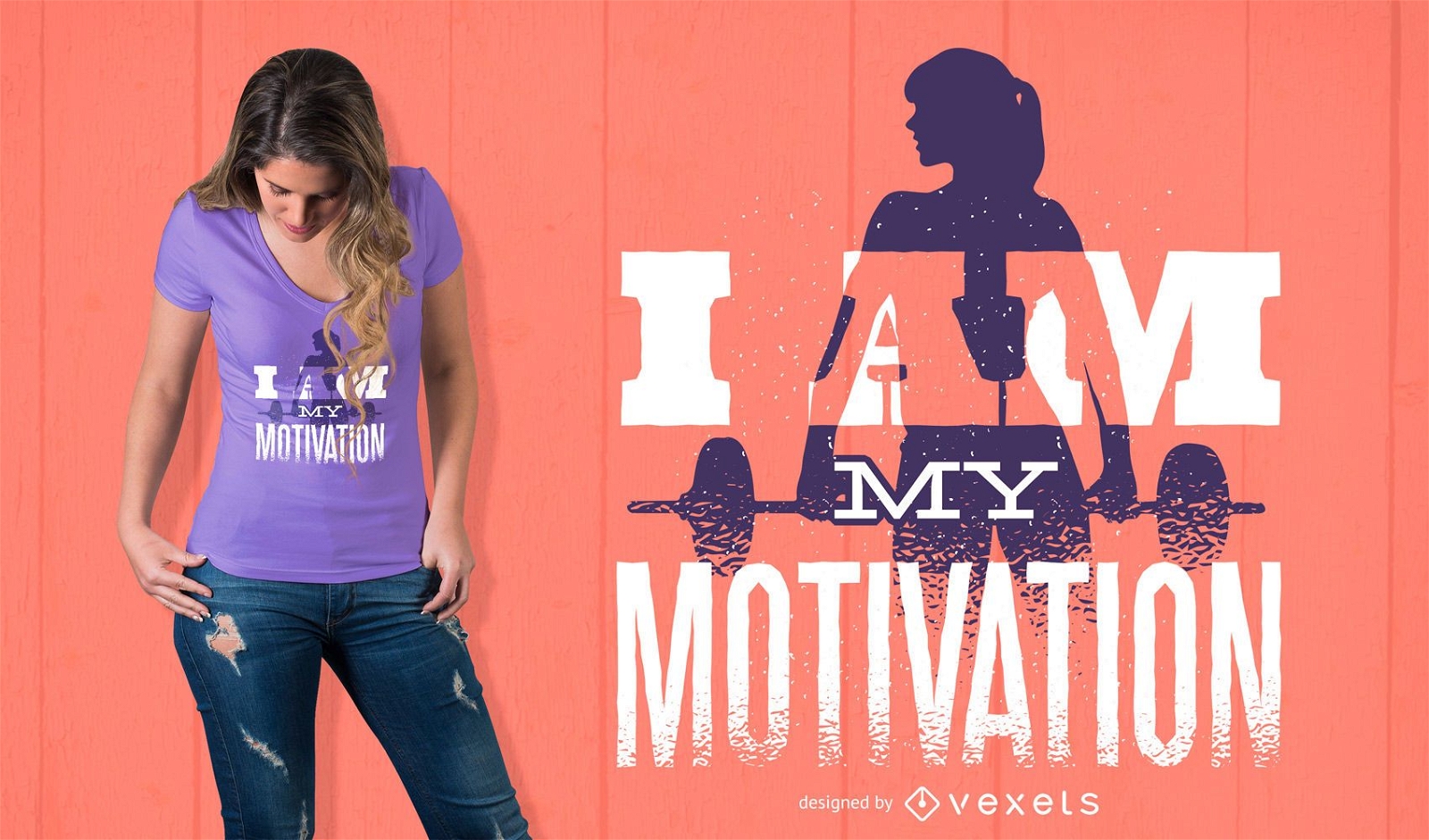
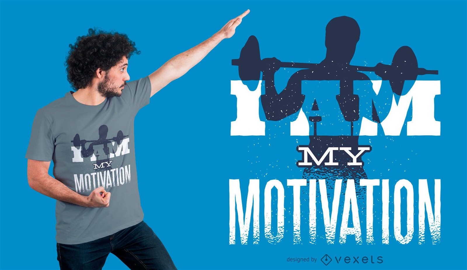
Eu Sou Minha Motivação Design de camisetas
Escolha uma pasta
Todos os favoritos
Criar novo
Salvar
Eu Sou Minha Motivação Design de camisetas
Pronto para imprimir
para Merch
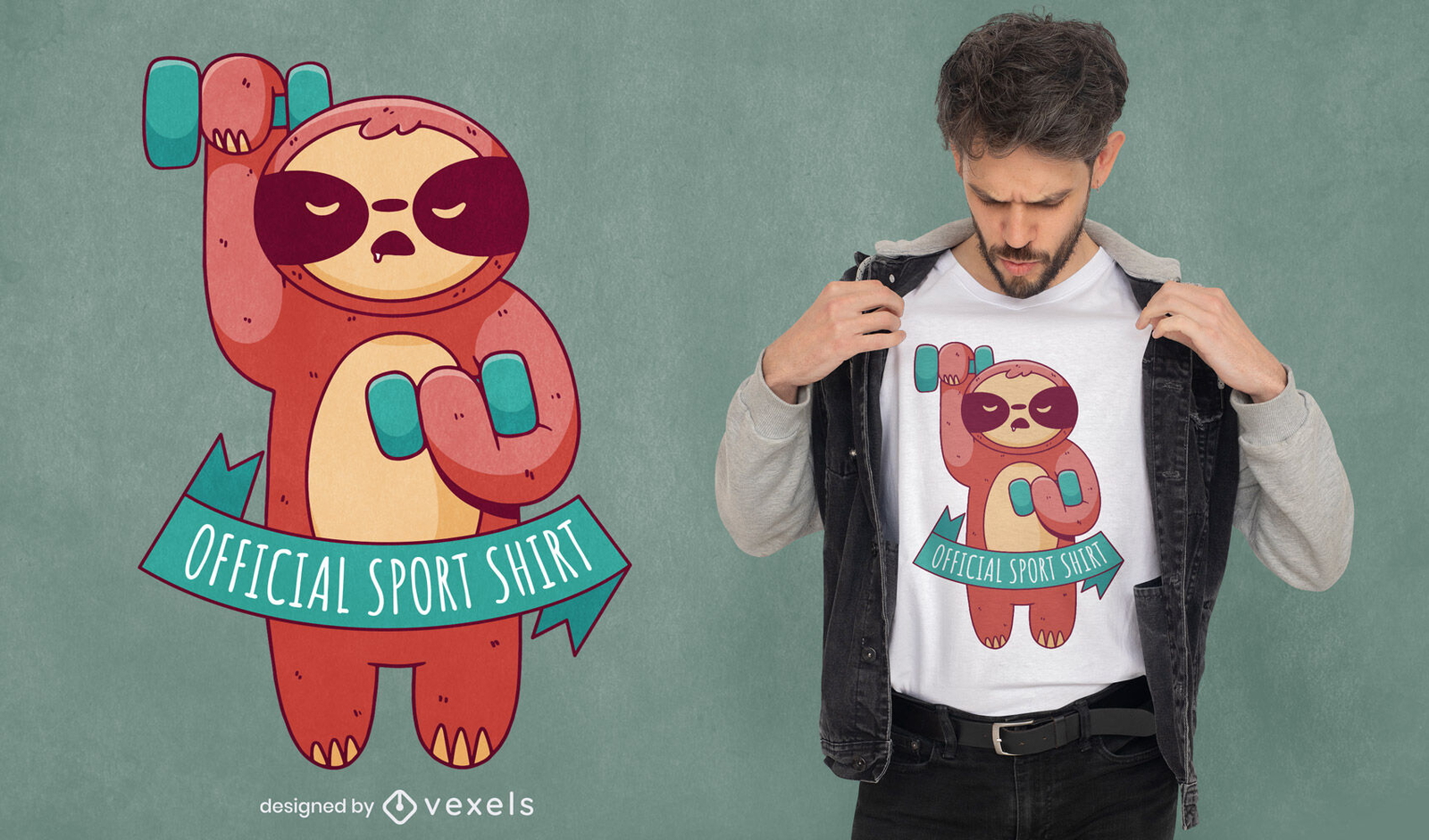
Preguiça de fitness com design de camiseta de halteres
Escolha uma pasta
Todos os favoritos
Criar novo
Salvar
Preguiça de fitness com design de camiseta de halteres
Pronto para imprimir
para Merch
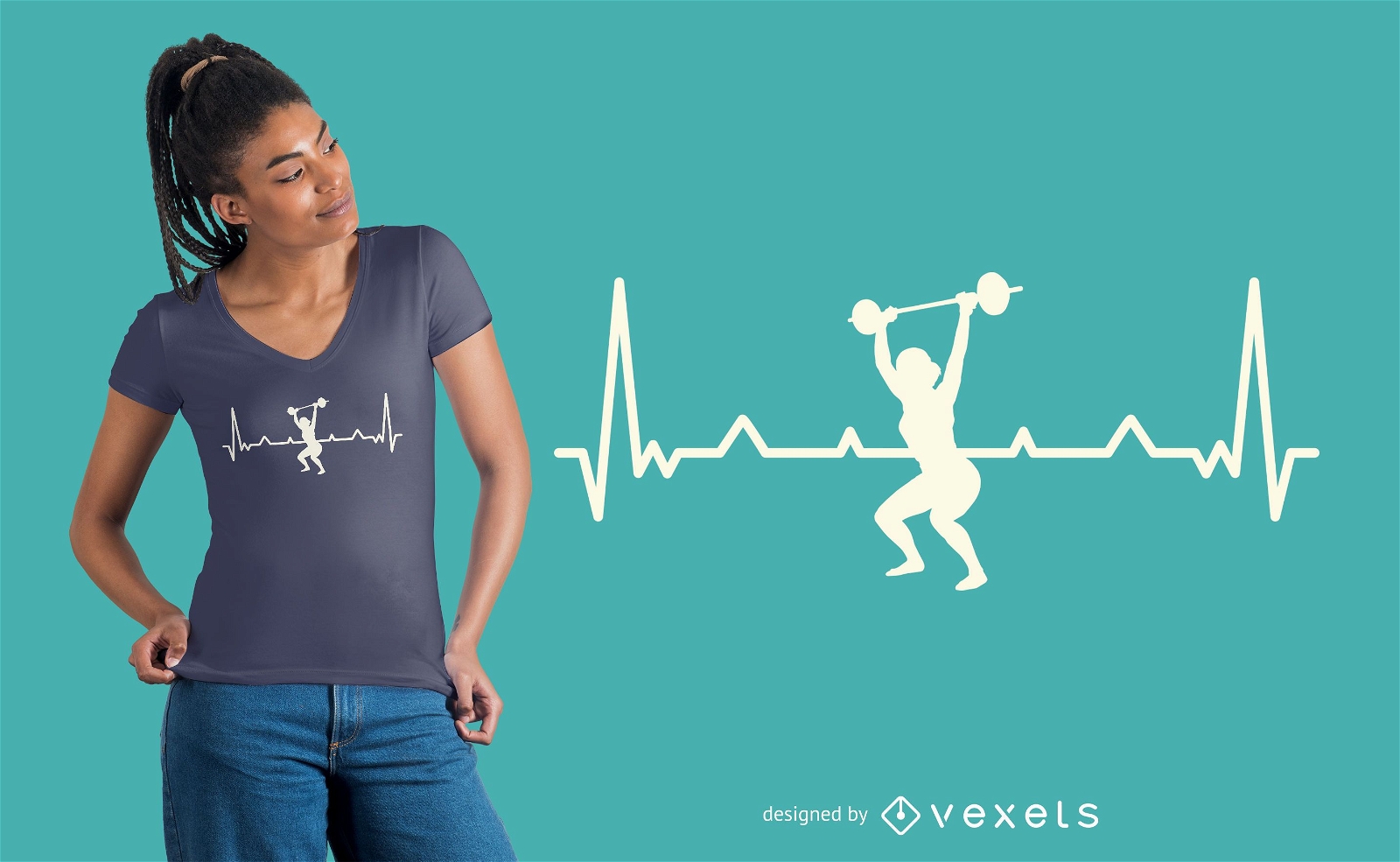
Design de camiseta de treino Heartbeat
Escolha uma pasta
Todos os favoritos
Criar novo
Salvar
Design de camiseta de treino Heartbeat
Pronto para imprimir
para Merch
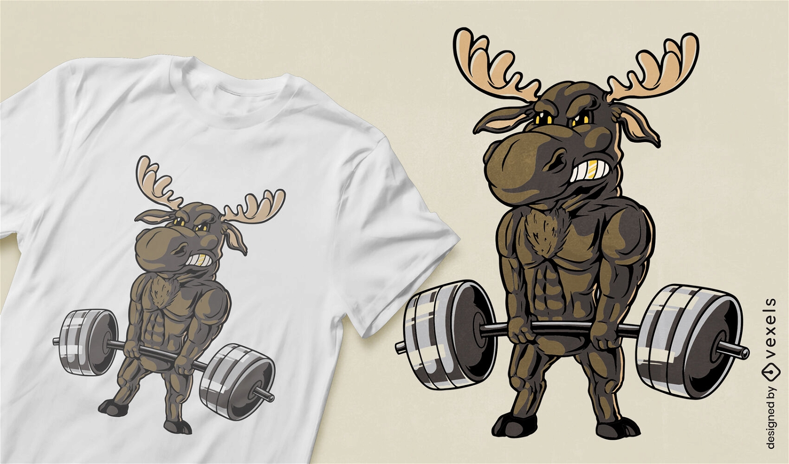
Design de camiseta de alce musculoso
Escolha uma pasta
Todos os favoritos
Criar novo
Salvar
Design de camiseta de alce musculoso
Pronto para imprimir
para Merch
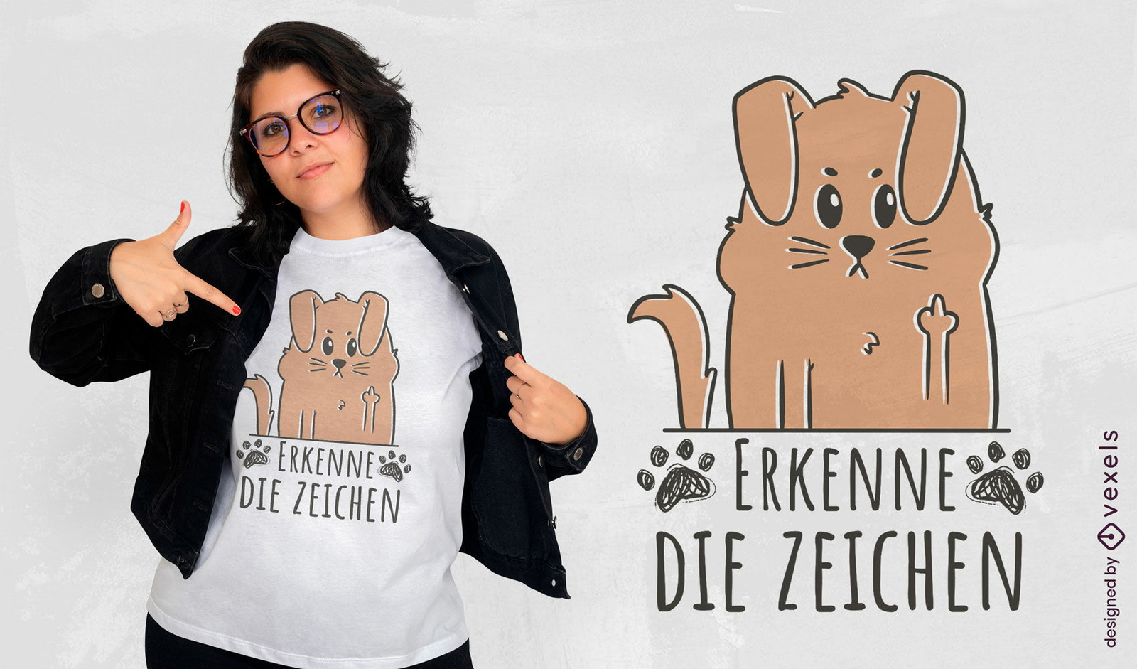
Design de t-shirt de dedo médio de cão de desenho animado engraçado
Escolha uma pasta
Todos os favoritos
Criar novo
Salvar
Design de t-shirt de dedo médio de cão de desenho animado engraçado
Pronto para imprimir
para Merch
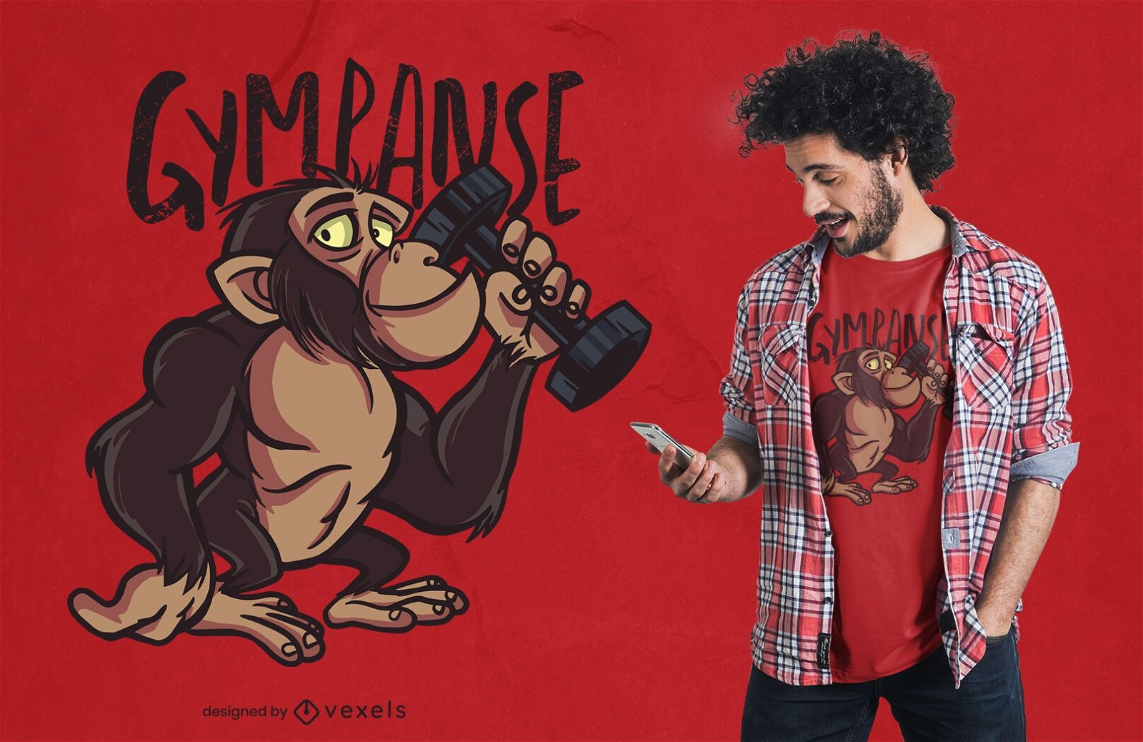
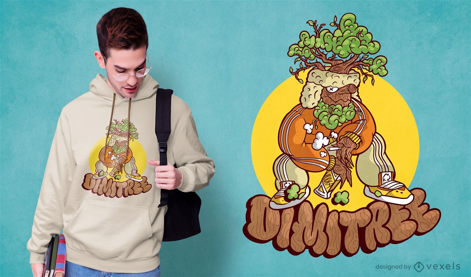
Design de camisetas Gympanzee Cartoon
Escolha uma pasta
Todos os favoritos
Criar novo
Salvar
Design de camisetas Gympanzee Cartoon
Pronto para imprimir
para Merch
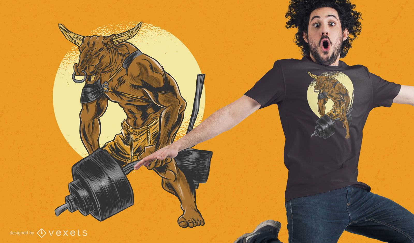
Design de camiseta com halteres Minotauro
Escolha uma pasta
Todos os favoritos
Criar novo
Salvar
Design de camiseta com halteres Minotauro
Pronto para imprimir
para Merch
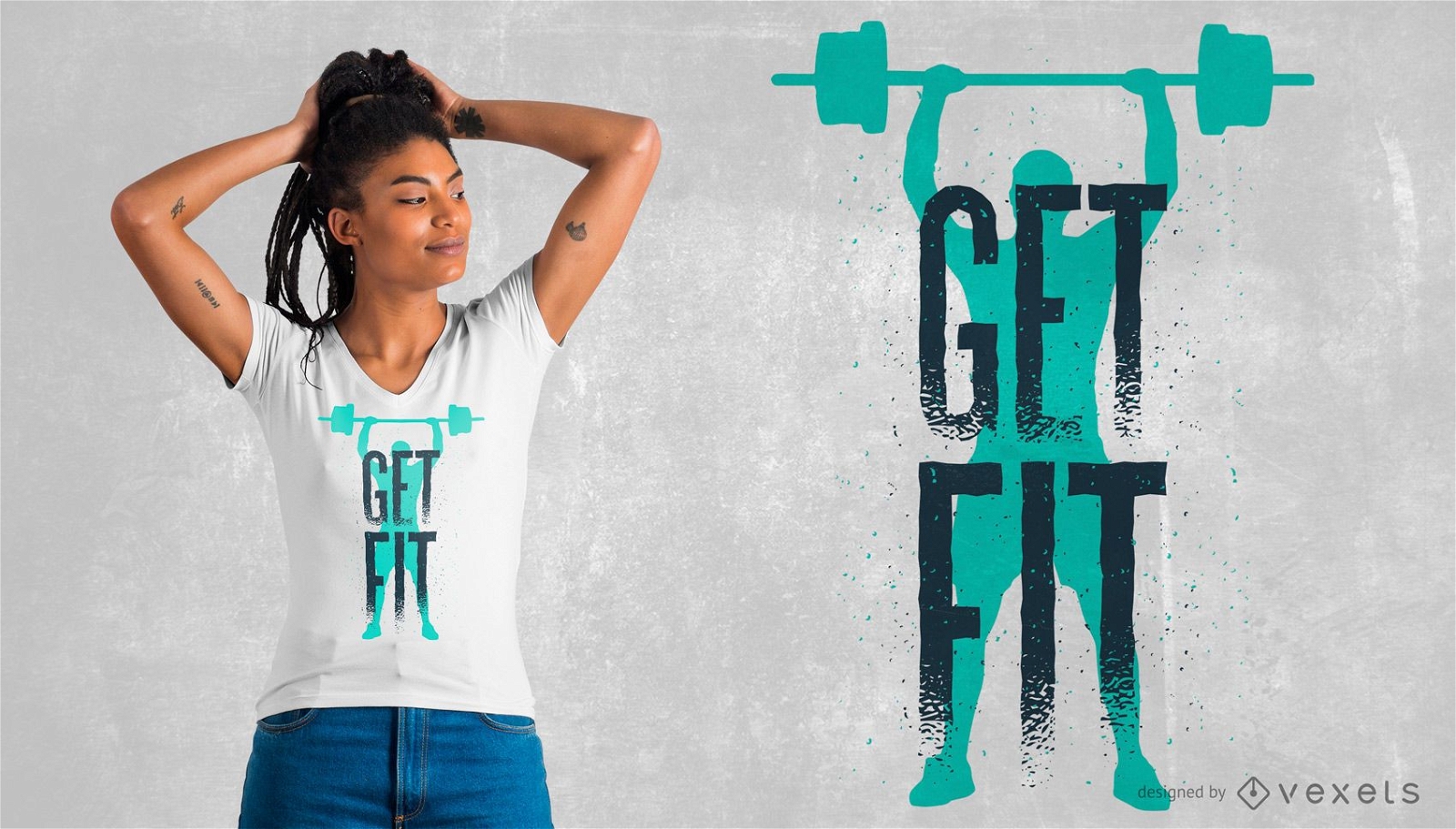
Design de camisetas motivacionais de fitness
Escolha uma pasta
Todos os favoritos
Criar novo
Salvar
Design de camisetas motivacionais de fitness
Pronto para imprimir
para Merch
Design de camiseta em forma
Escolha uma pasta
Todos os favoritos
Criar novo
Salvar
Design de camiseta em forma
Pronto para imprimir
para Merch
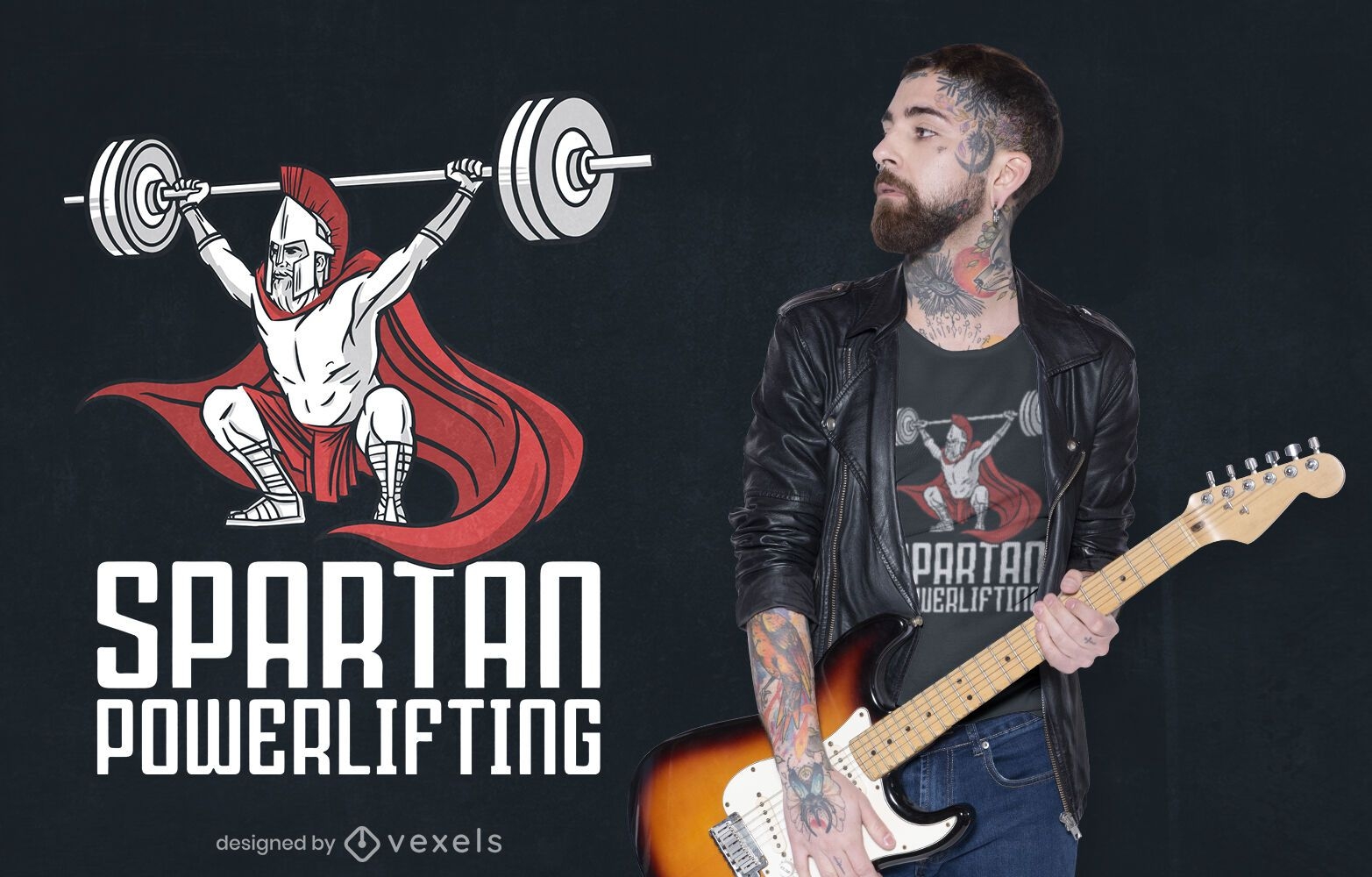
Design de camiseta espartana para levantamento de peso
Escolha uma pasta
Todos os favoritos
Criar novo
Salvar
Design de camiseta espartana para levantamento de peso
Pronto para imprimir
para Merch
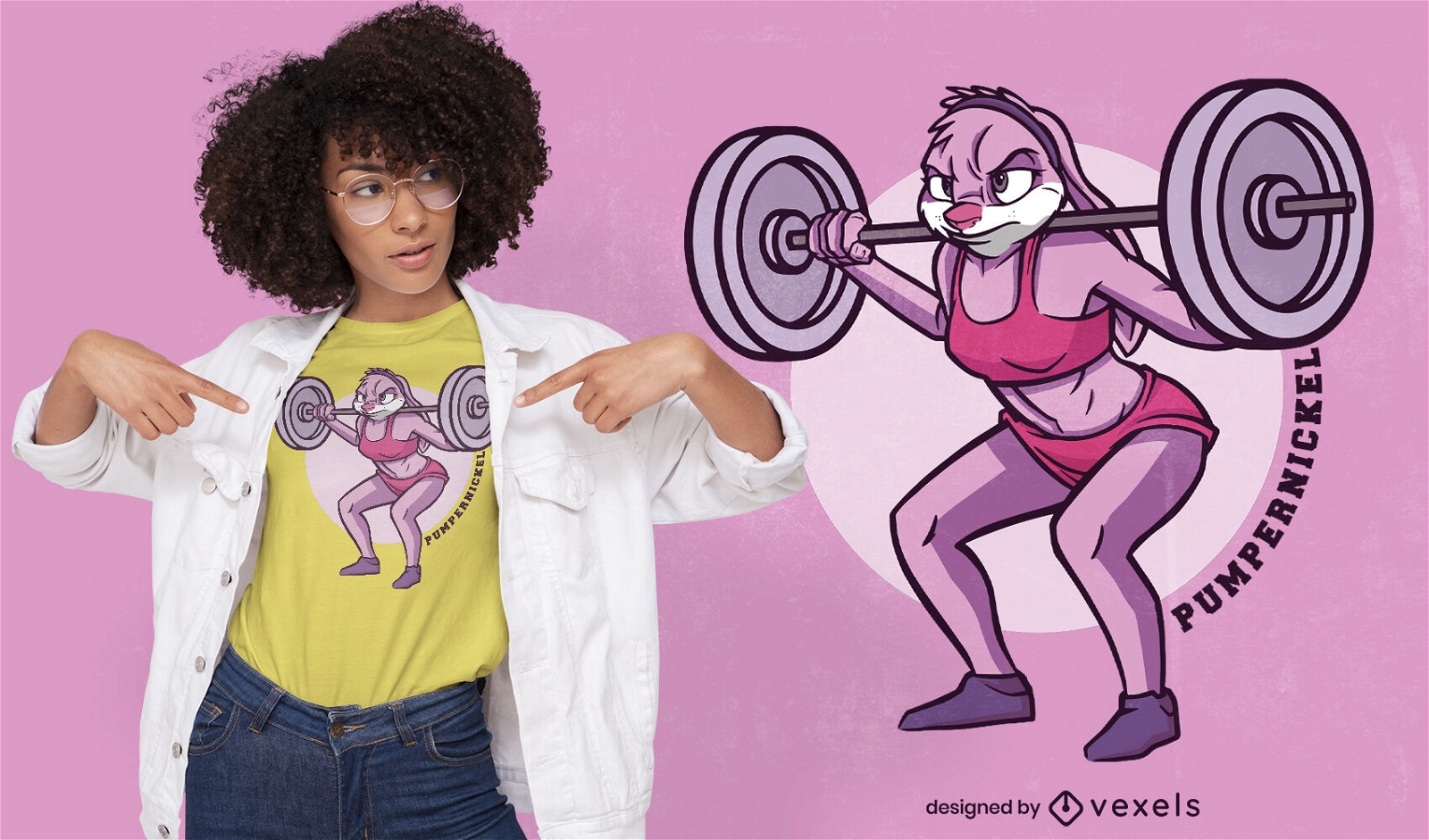
Desenho de camiseta de coelho de halterofilismo
Escolha uma pasta
Todos os favoritos
Criar novo
Salvar
Desenho de camiseta de coelho de halterofilismo
Pronto para imprimir
para Merch
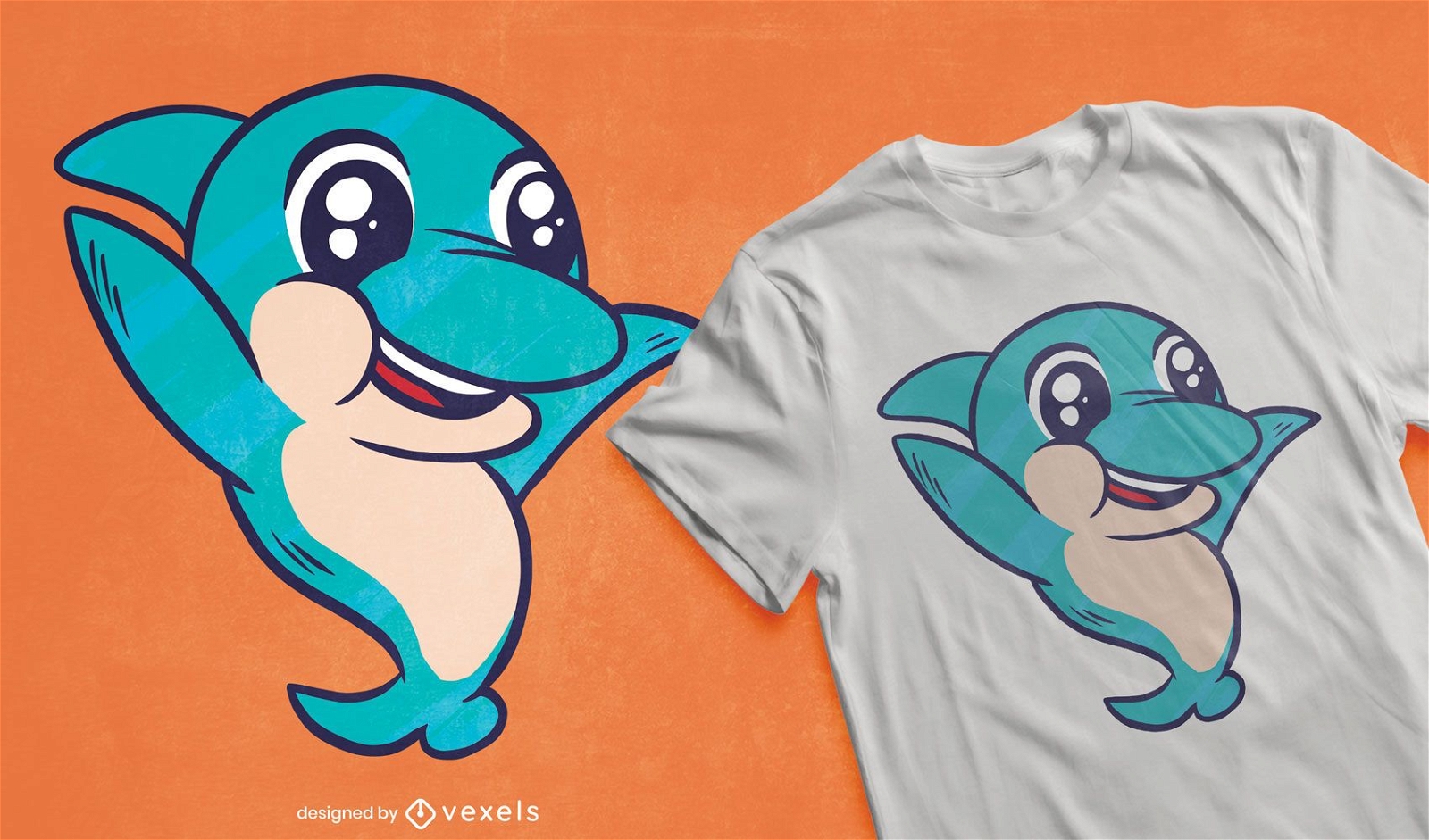
Design de camiseta golfinho fofo
Escolha uma pasta
Todos os favoritos
Criar novo
Salvar
Design de camiseta golfinho fofo
Pronto para imprimir
para Merch
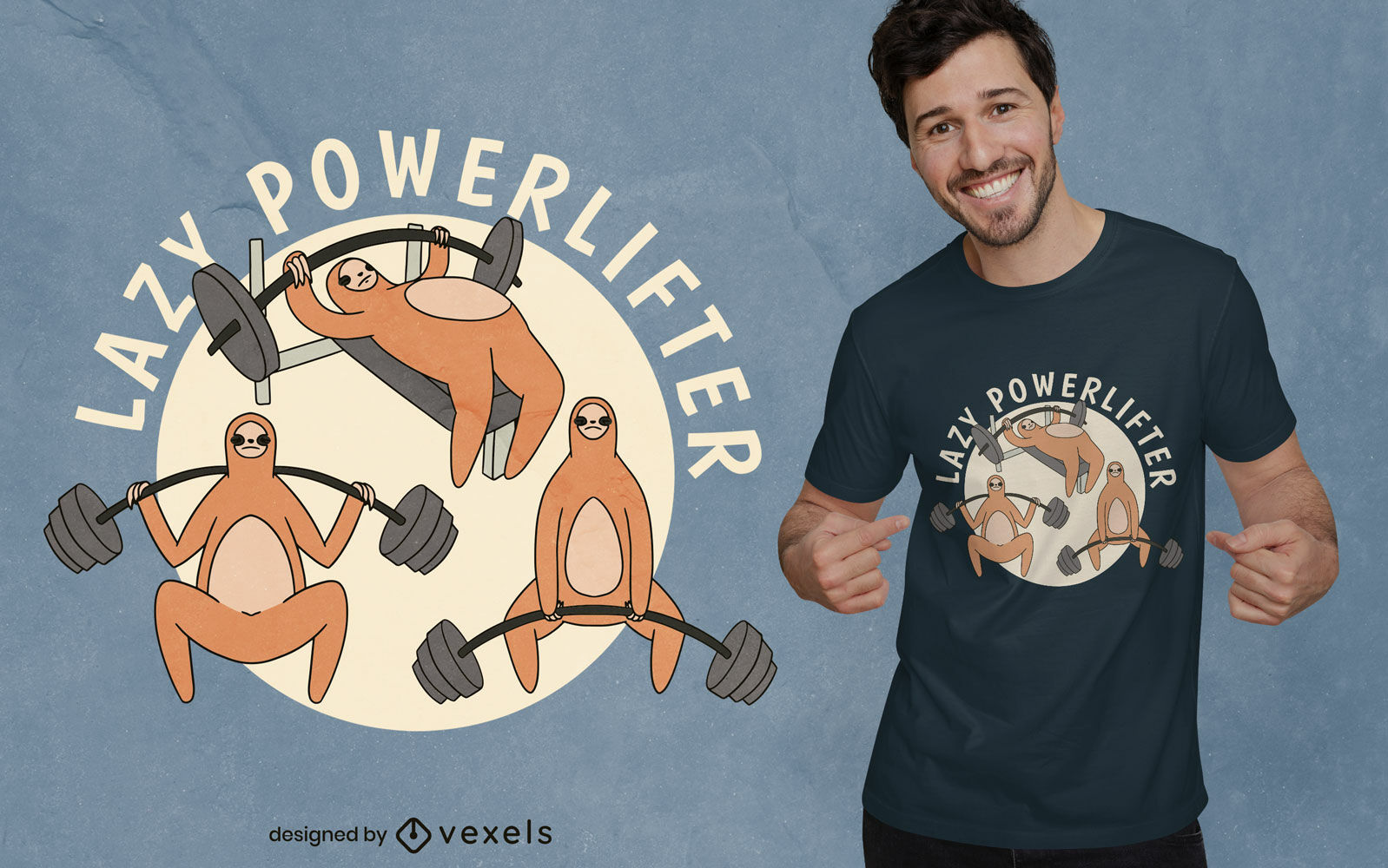
Design de camiseta cartoon powerlifter preguiça
Escolha uma pasta
Todos os favoritos
Criar novo
Salvar
Design de camiseta cartoon powerlifter preguiça
Pronto para imprimir
para Merch
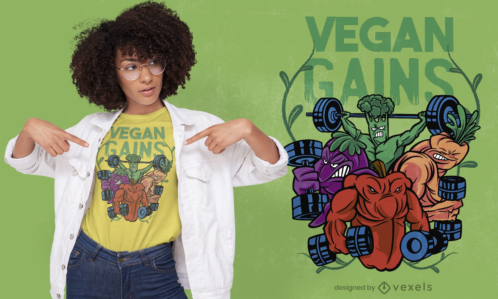
Design de camisetas veganas para fisiculturistas vegetais
Escolha uma pasta
Todos os favoritos
Criar novo
Salvar
Design de camisetas veganas para fisiculturistas vegetais
Pronto para imprimir
para Merch
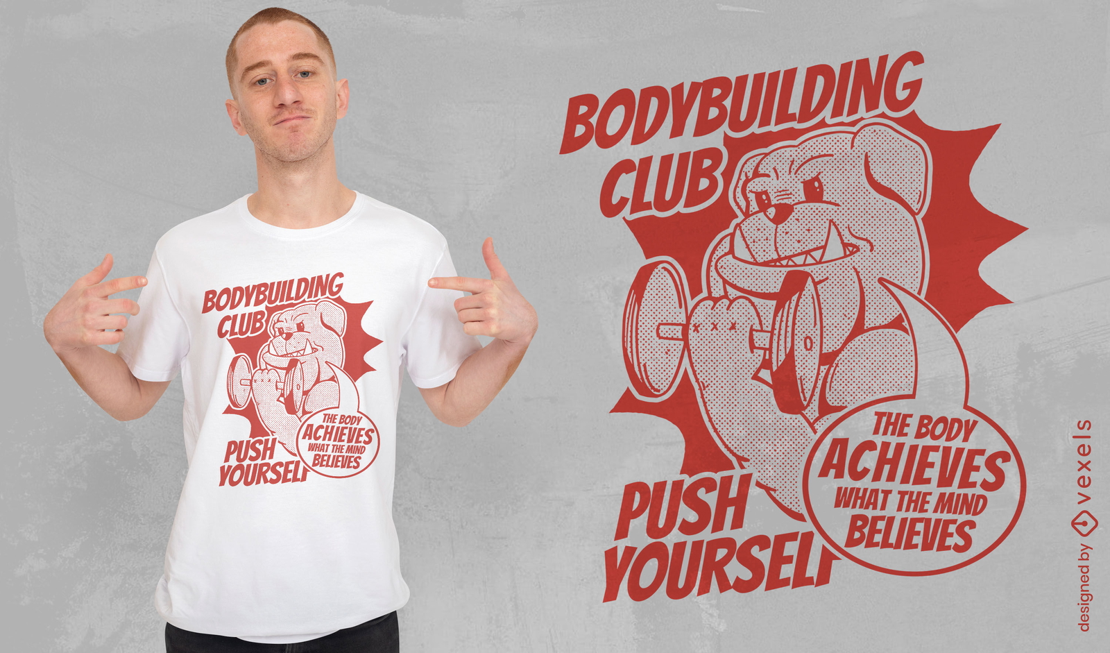
Design de camiseta de buldogue do clube de musculação
Escolha uma pasta
Todos os favoritos
Criar novo
Salvar
Design de camiseta de buldogue do clube de musculação
Pronto para imprimir
para Merch
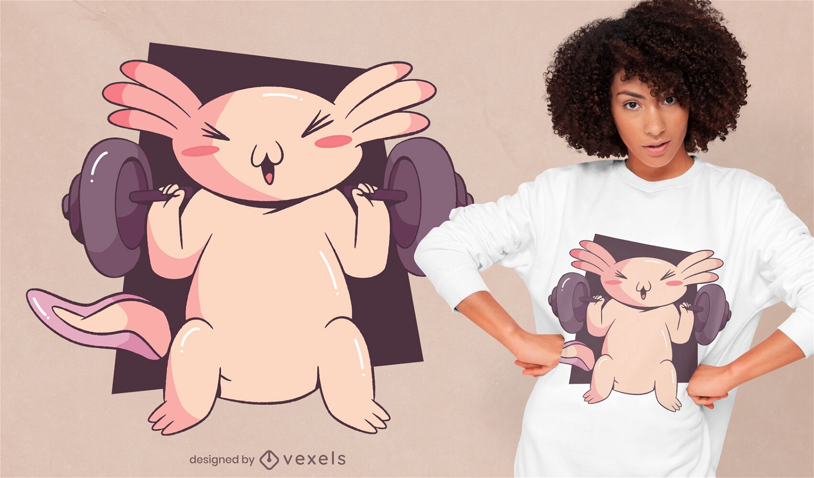
Design de camiseta de levantamento de pesos Axolotl
Escolha uma pasta
Todos os favoritos
Criar novo
Salvar
Design de camiseta de levantamento de pesos Axolotl
Pronto para imprimir
para Merch
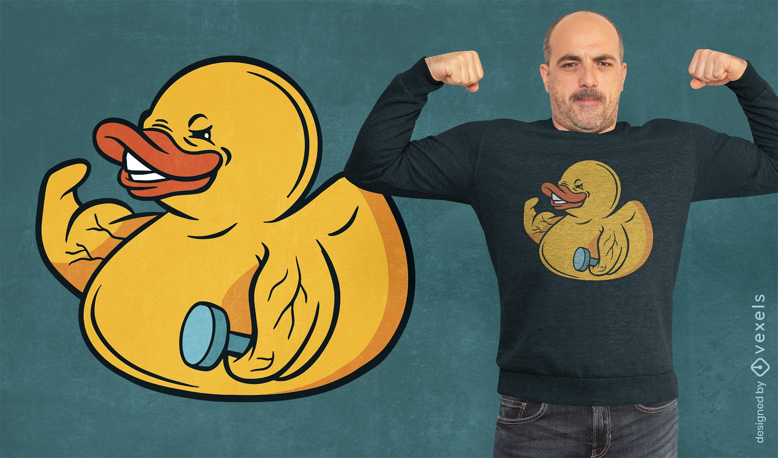
Design de camiseta de pato de borracha construtor de corpo
Escolha uma pasta
Todos os favoritos
Criar novo
Salvar
Design de camiseta de pato de borracha construtor de corpo
Pronto para imprimir
para Merch
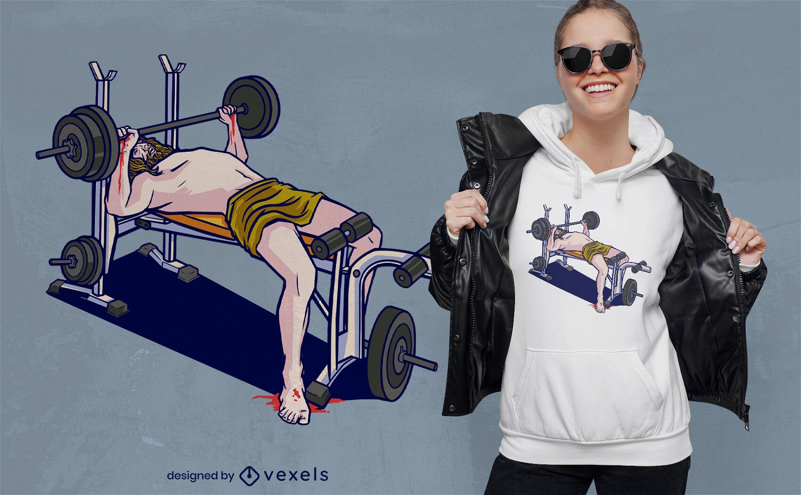
Jesus halterofilismo no design de camiseta de banco
Escolha uma pasta
Todos os favoritos
Criar novo
Salvar
Jesus halterofilismo no design de camiseta de banco
Pronto para imprimir
para Merch
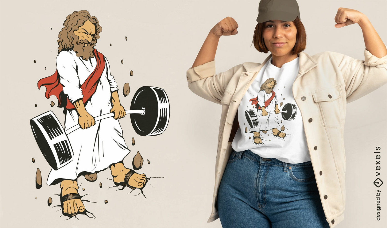
Design de camiseta esportiva de levantamento de peso de Jesus
Escolha uma pasta
Todos os favoritos
Criar novo
Salvar
Design de camiseta esportiva de levantamento de peso de Jesus
Pronto para imprimir
para Merch
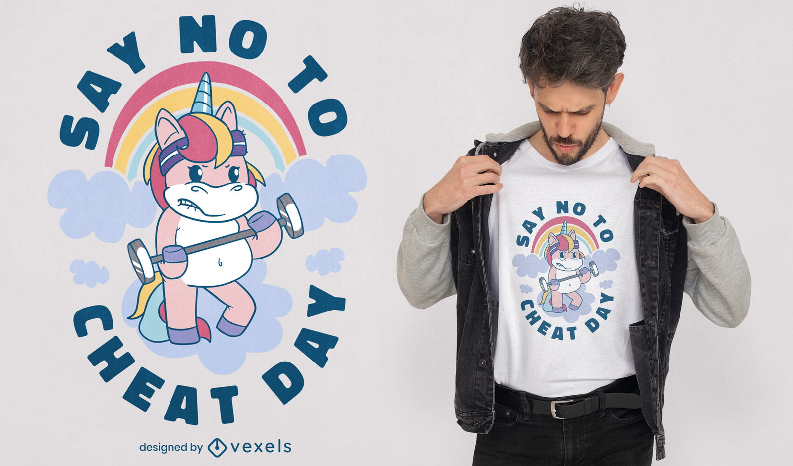
Design de t-shirt de levantamento de pesos de unicórnio de desenho animado
Escolha uma pasta
Todos os favoritos
Criar novo
Salvar
Design de t-shirt de levantamento de pesos de unicórnio de desenho animado
Pronto para imprimir
para Merch
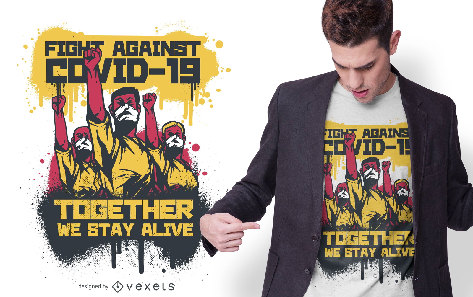
Fight Against COVID-19 Design de camisetas
Escolha uma pasta
Todos os favoritos
Criar novo
Salvar
Fight Against COVID-19 Design de camisetas
texto editável
Pronto para imprimir
para Merch
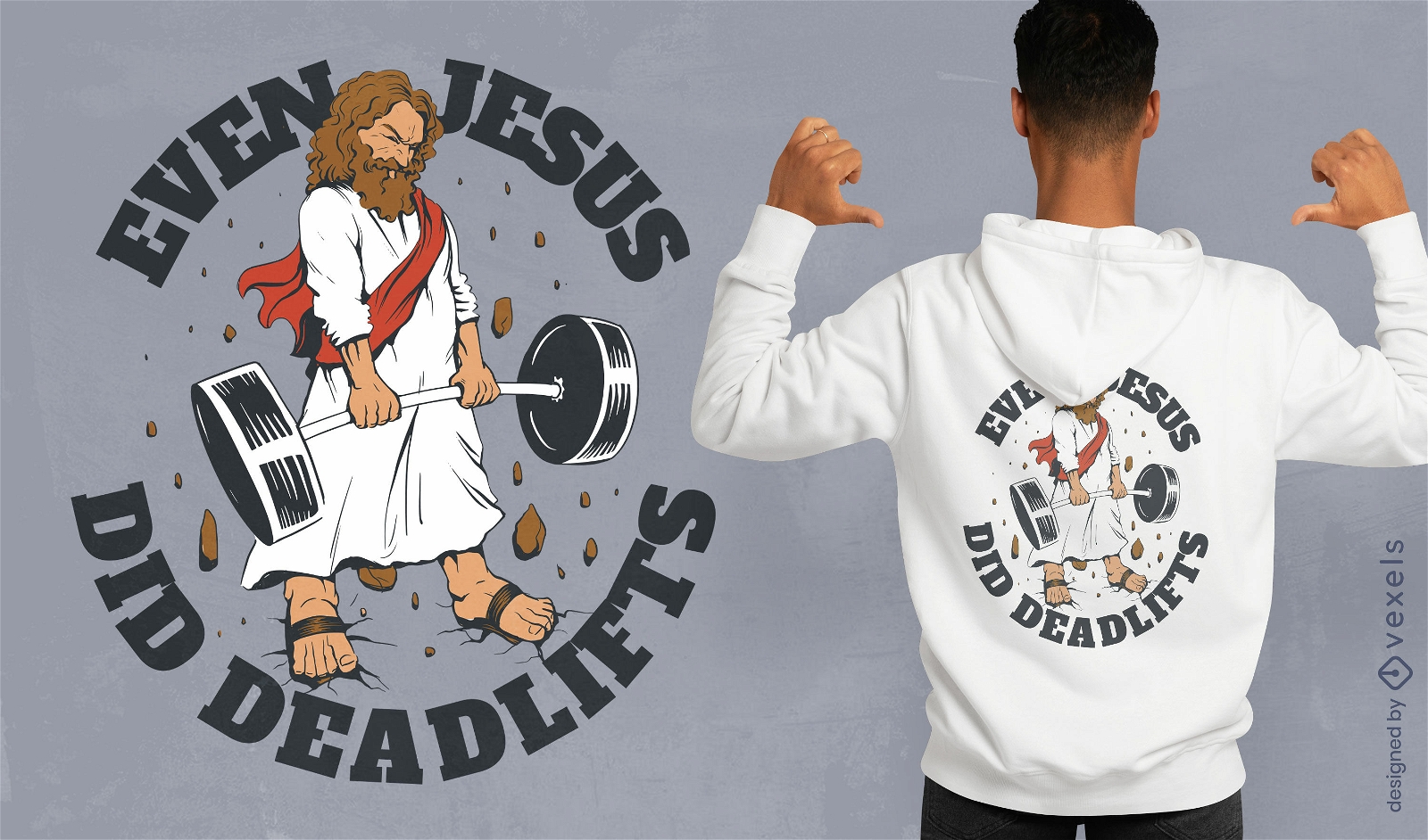
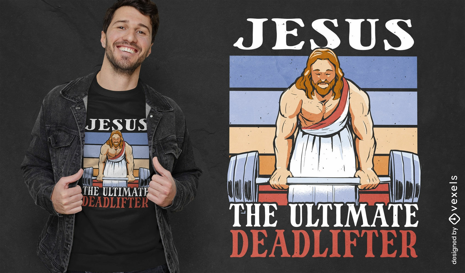
Design de camiseta Jesus Deadlifts
Escolha uma pasta
Todos os favoritos
Criar novo
Salvar
Design de camiseta Jesus Deadlifts
Pronto para imprimir
para Merch
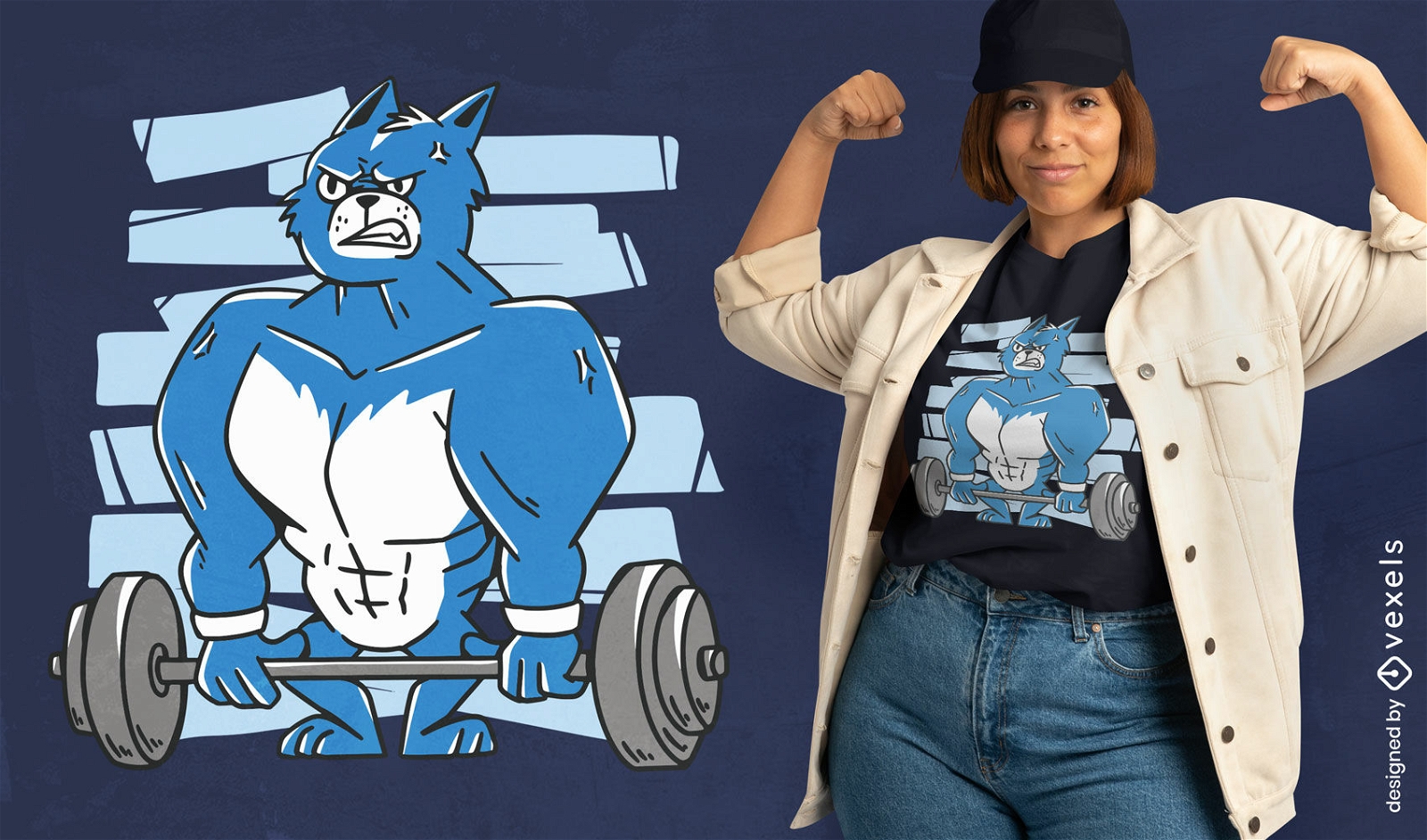
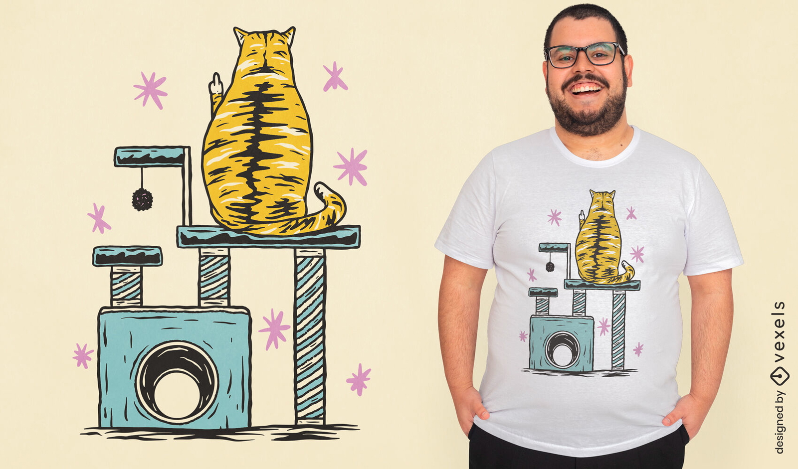
Design de camiseta de gato de academia
Escolha uma pasta
Todos os favoritos
Criar novo
Salvar
Design de camiseta de gato de academia
Pronto para imprimir
para Merch
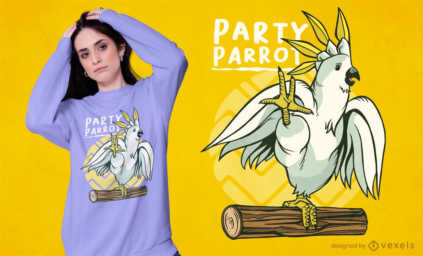
Design de t-shirt de pássaro papagaio de festa
Escolha uma pasta
Todos os favoritos
Criar novo
Salvar
Design de t-shirt de pássaro papagaio de festa
texto editável
Pronto para imprimir
para Merch
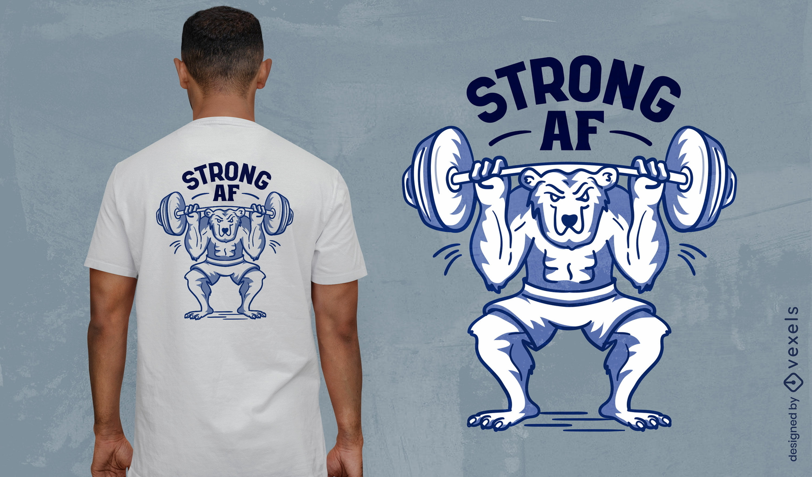
Design de camiseta de desenho animado de urso de ginástica forte
Escolha uma pasta
Todos os favoritos
Criar novo
Salvar
Design de camiseta de desenho animado de urso de ginástica forte
Pronto para imprimir
para Merch
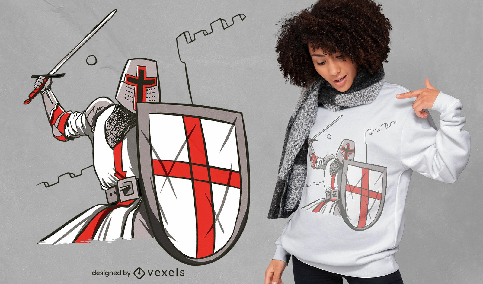
Design incrível de camiseta de cavaleiro cruzado
Escolha uma pasta
Todos os favoritos
Criar novo
Salvar
Design incrível de camiseta de cavaleiro cruzado
texto editável
Pronto para imprimir
para Merch
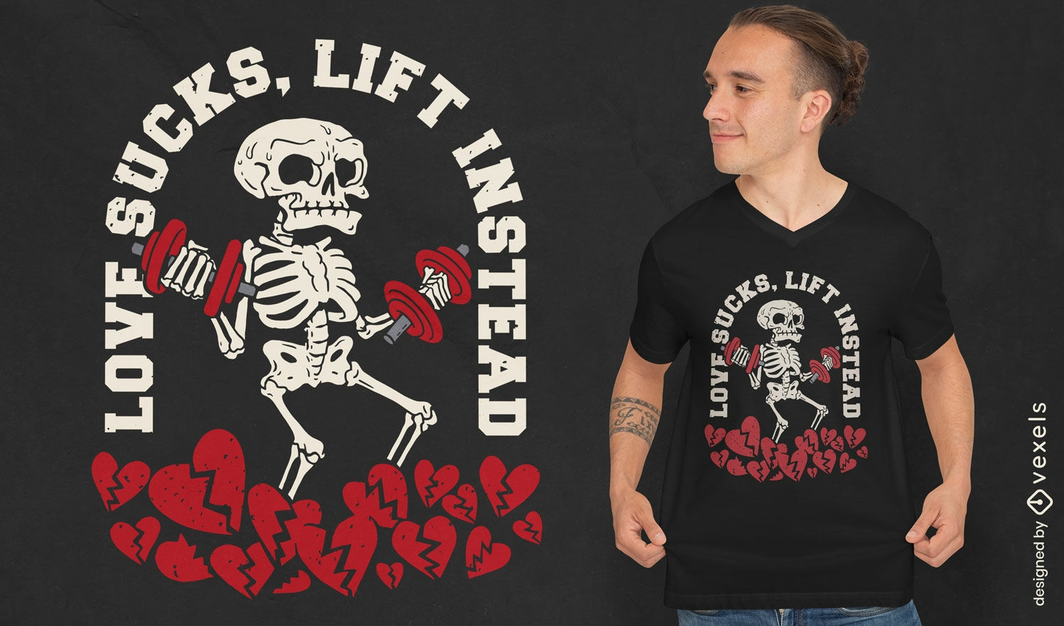
Design de camiseta anti-amor de esqueleto de academia
Escolha uma pasta
Todos os favoritos
Criar novo
Salvar
Design de camiseta anti-amor de esqueleto de academia
Pronto para imprimir
para Merch
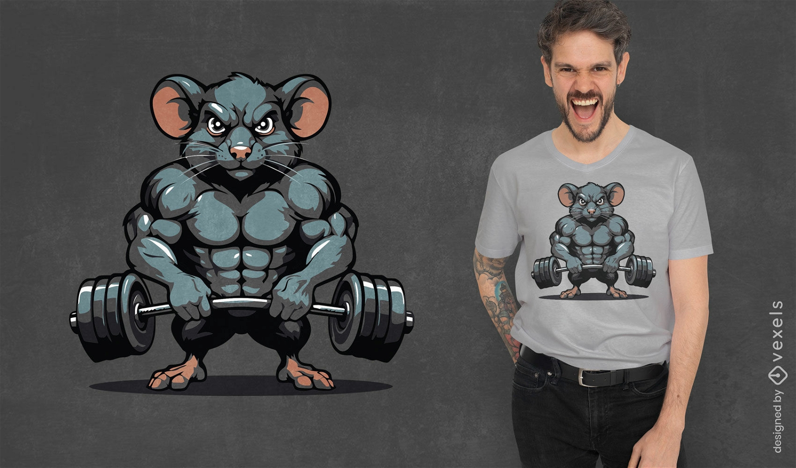
Design de camiseta de rato musculoso com pesos
Escolha uma pasta
Todos os favoritos
Criar novo
Salvar
Design de camiseta de rato musculoso com pesos
Pronto para imprimir
para Merch
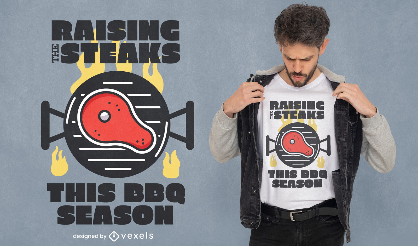
Criação de bifes design de t-shirt para churrasco
Escolha uma pasta
Todos os favoritos
Criar novo
Salvar
Criação de bifes design de t-shirt para churrasco
Pronto para imprimir
para Merch
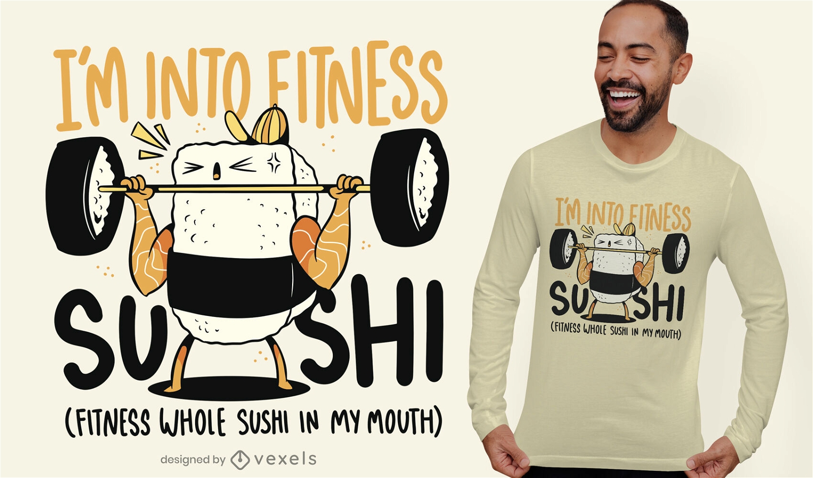
Design de t-shirt de pesos para levantamento de comida de sushi
Escolha uma pasta
Todos os favoritos
Criar novo
Salvar
Design de t-shirt de pesos para levantamento de comida de sushi
Pronto para imprimir
para Merch
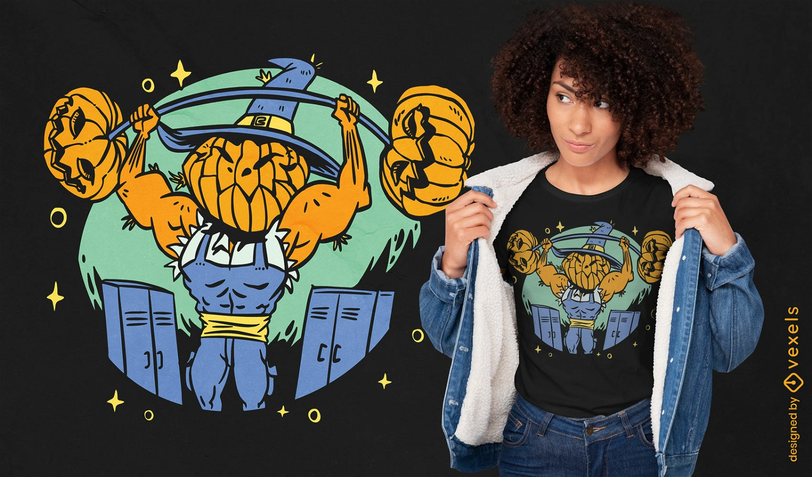
Design de camiseta de levantamento de peso de espantalho de Halloween
Escolha uma pasta
Todos os favoritos
Criar novo
Salvar
Design de camiseta de levantamento de peso de espantalho de Halloween
Pronto para imprimir
para Merch
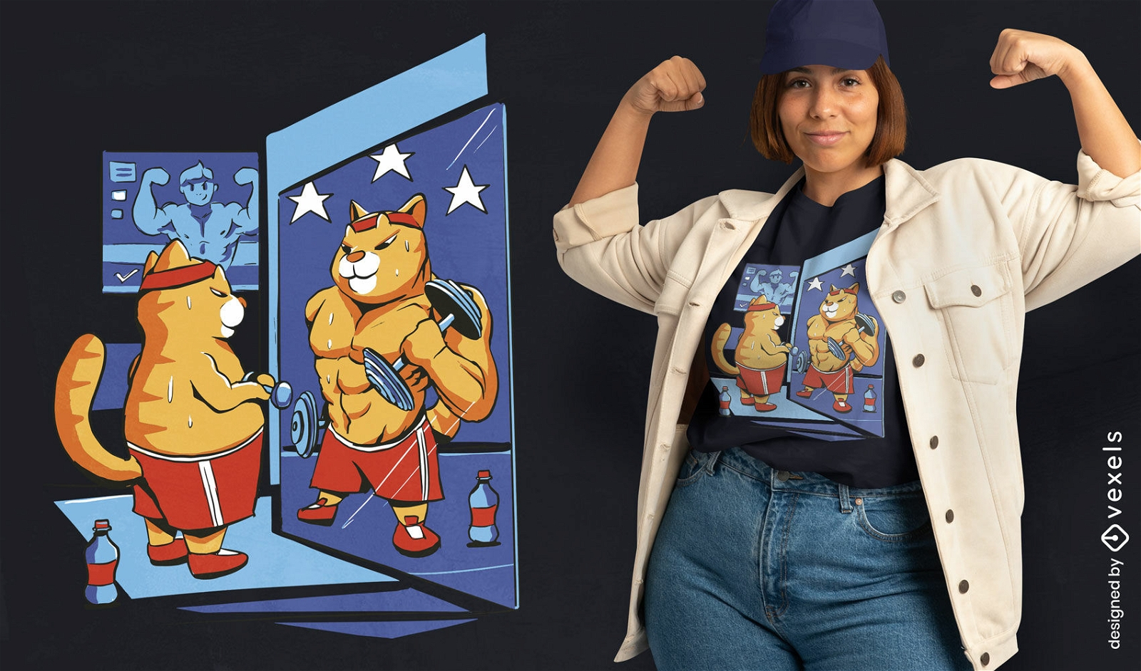
Gato no design de camiseta de academia
Escolha uma pasta
Todos os favoritos
Criar novo
Salvar
Gato no design de camiseta de academia
Pronto para imprimir
para Merch
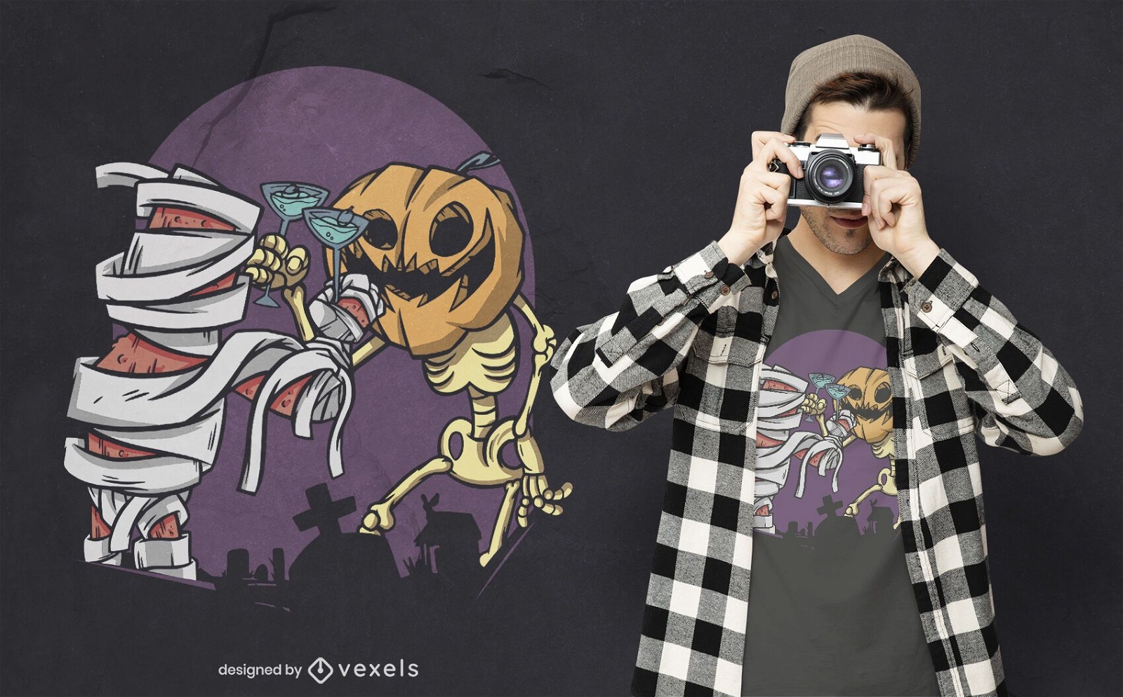
Design de t-shirt para o Halloween
Escolha uma pasta
Todos os favoritos
Criar novo
Salvar
Design de t-shirt para o Halloween
Pronto para imprimir
para Merch
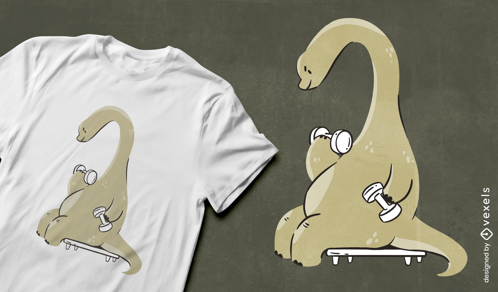
Design de camiseta de dinossauro de ginástica
Escolha uma pasta
Todos os favoritos
Criar novo
Salvar
Design de camiseta de dinossauro de ginástica
texto editável
Pronto para imprimir
para Merch
Design de camiseta de levantamento de peso de Jesus
Escolha uma pasta
Todos os favoritos
Criar novo
Salvar
Design de camiseta de levantamento de peso de Jesus
texto editável
Pronto para imprimir
para Merch
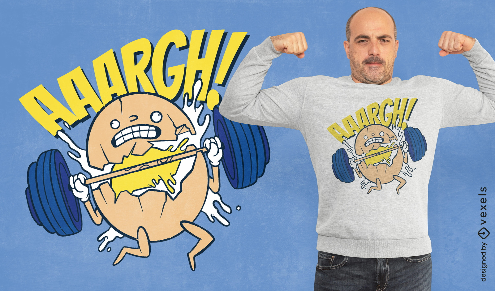
Design de camiseta de levantamento de peso de ovo
Escolha uma pasta
Todos os favoritos
Criar novo
Salvar
Design de camiseta de levantamento de peso de ovo
texto editável
Pronto para imprimir
para Merch
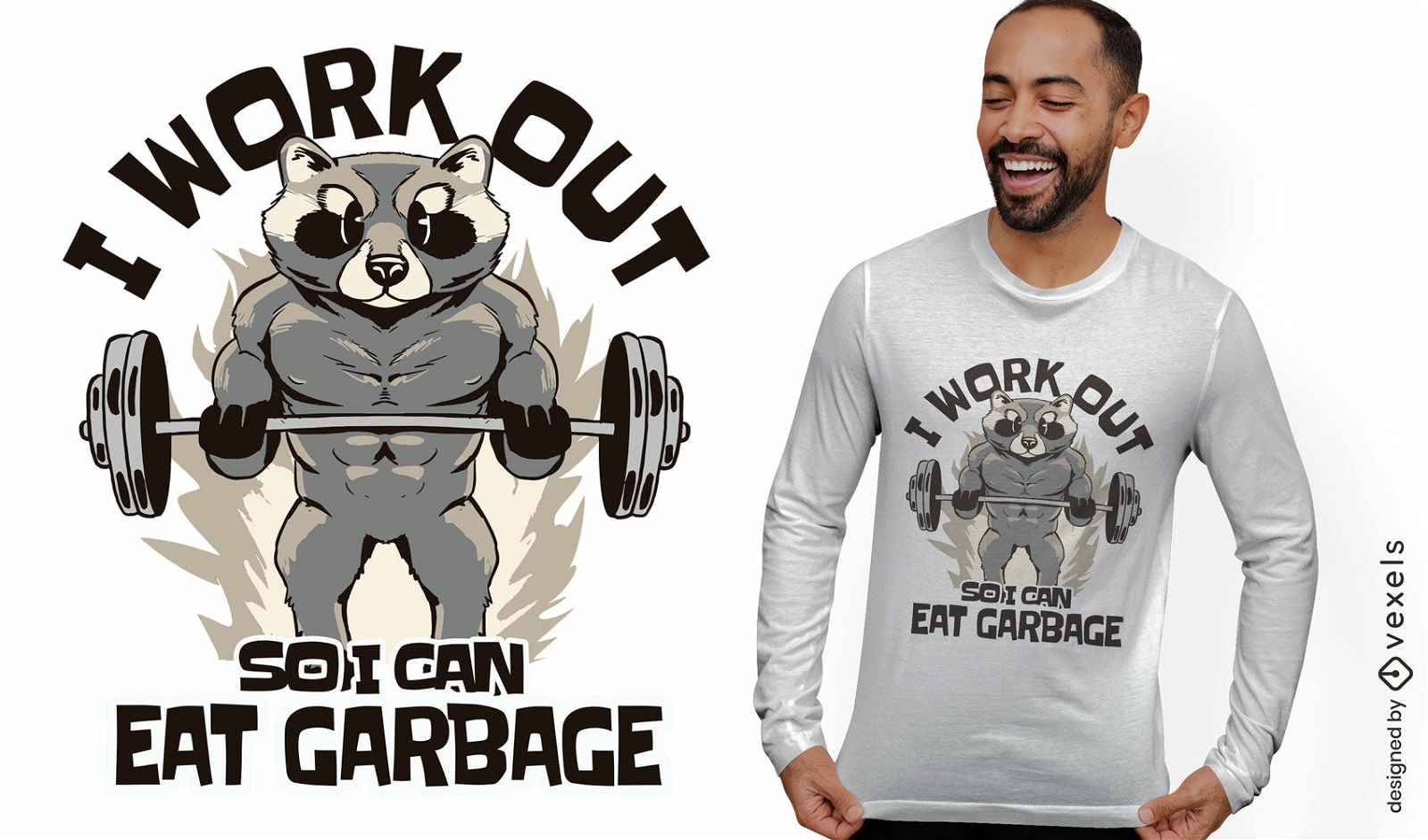
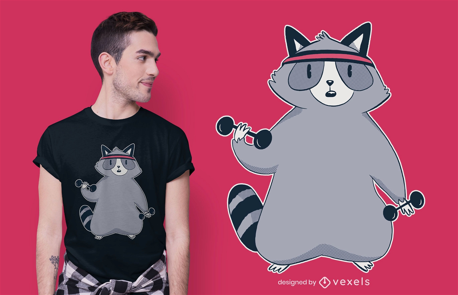
Design de camiseta de guaxinim fitness
Escolha uma pasta
Todos os favoritos
Criar novo
Salvar
Design de camiseta de guaxinim fitness
Pronto para imprimir
para Merch
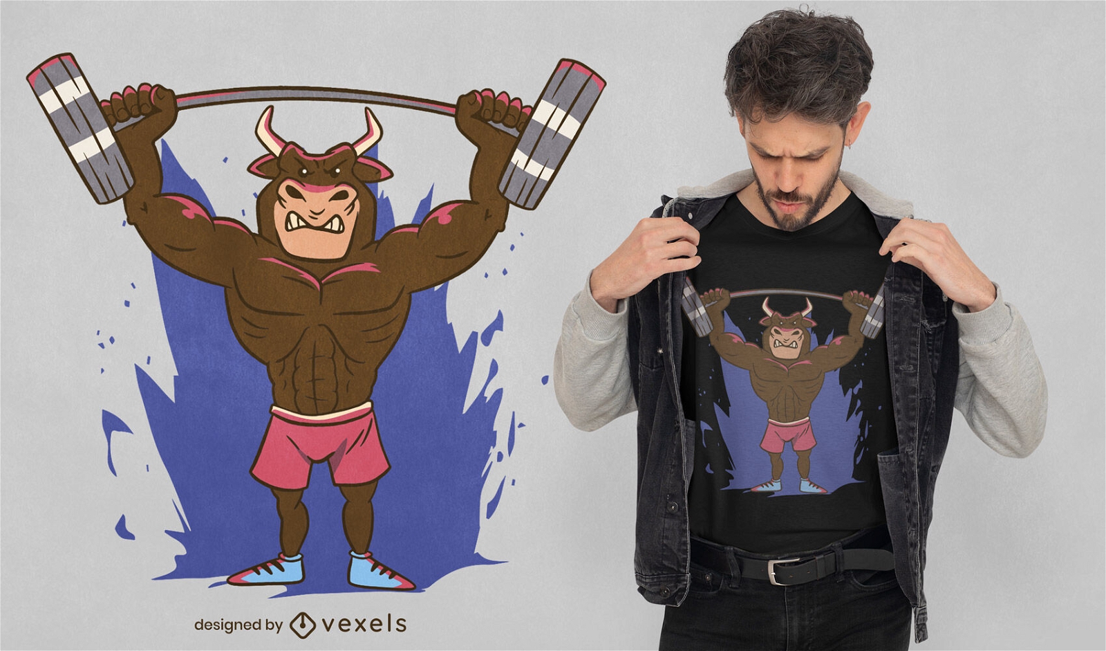
Design de t-shirt de levantamento de pesos de animais de touro
Escolha uma pasta
Todos os favoritos
Criar novo
Salvar
Design de t-shirt de levantamento de pesos de animais de touro
Pronto para imprimir
para Merch
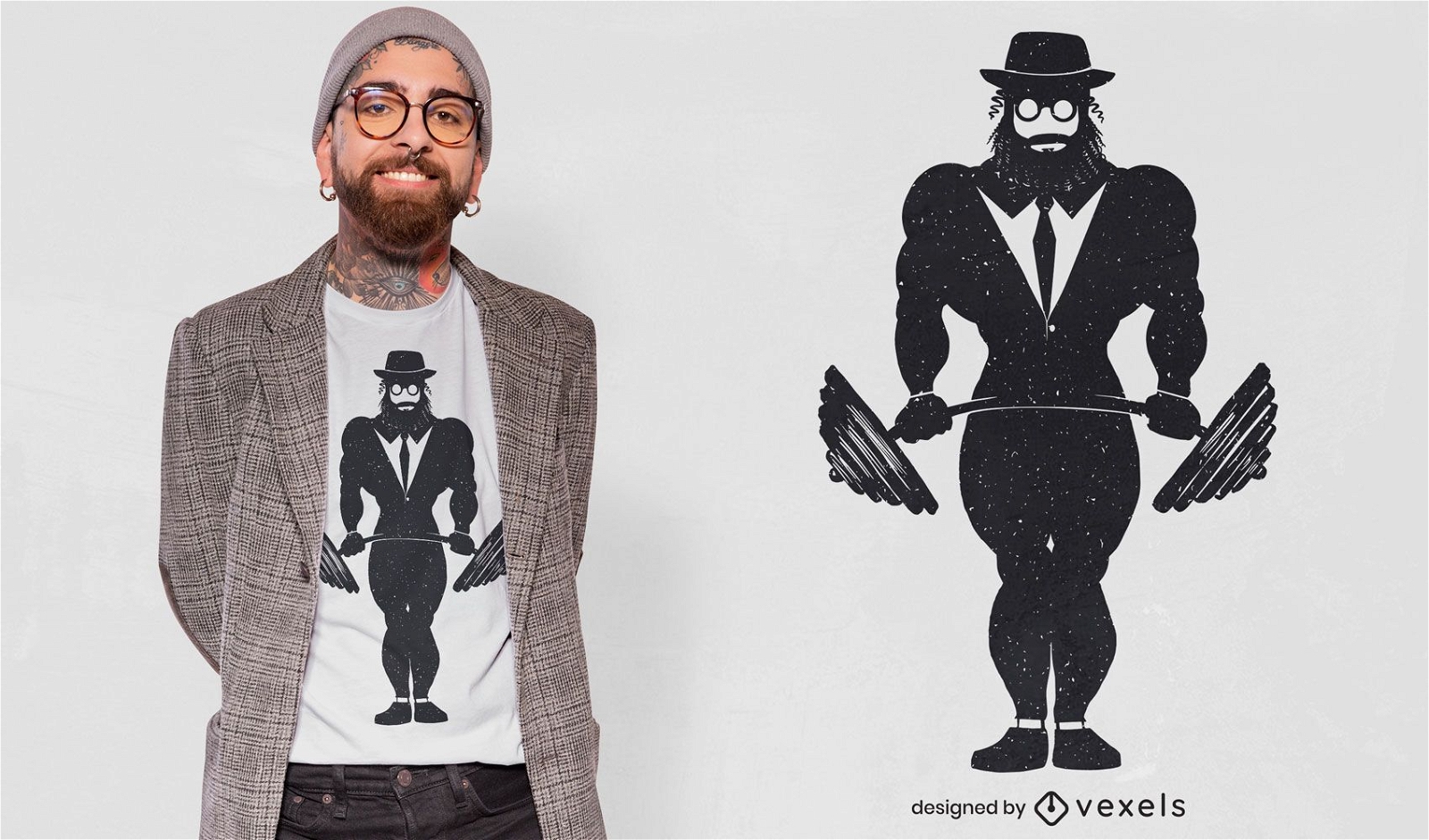
Design de camiseta de homem judeu para halterofilismo
Escolha uma pasta
Todos os favoritos
Criar novo
Salvar
Design de camiseta de homem judeu para halterofilismo
Pronto para imprimir
para Merch
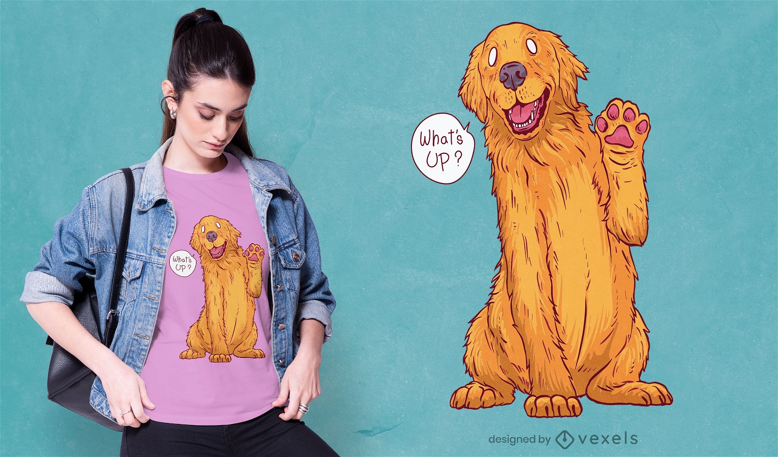
Design de t-shirt do golden retriever de saudação
Escolha uma pasta
Todos os favoritos
Criar novo
Salvar
Design de t-shirt do golden retriever de saudação
Pronto para imprimir
para Merch
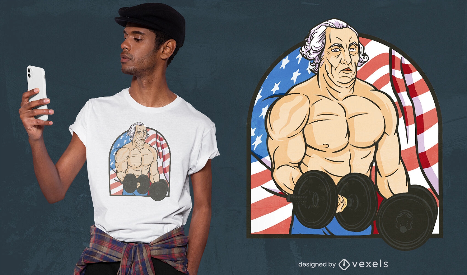
Homem musculoso com design de camiseta de pesos
Escolha uma pasta
Todos os favoritos
Criar novo
Salvar
Homem musculoso com design de camiseta de pesos
Pronto para imprimir
para Merch
Gato lançando design de camiseta
Escolha uma pasta
Todos os favoritos
Criar novo
Salvar
Gato lançando design de camiseta
Pronto para imprimir
para Merch
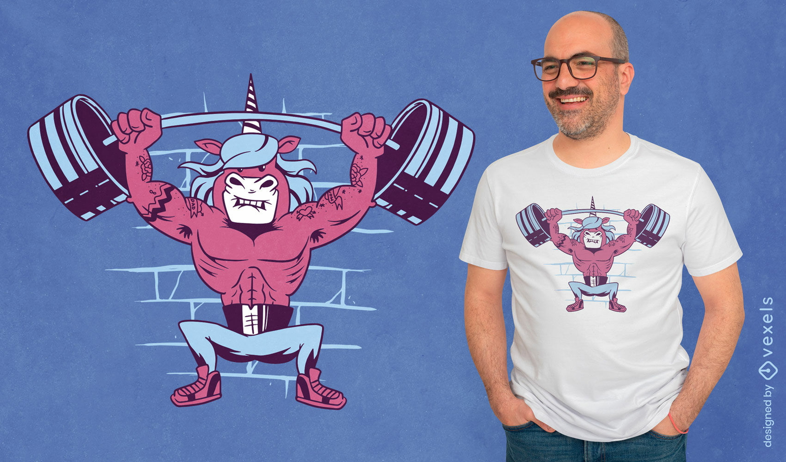
Design de camiseta de levantamento de peso de unicórnio de desenho animado
Escolha uma pasta
Todos os favoritos
Criar novo
Salvar
Design de camiseta de levantamento de peso de unicórnio de desenho animado
Pronto para imprimir
para Merch
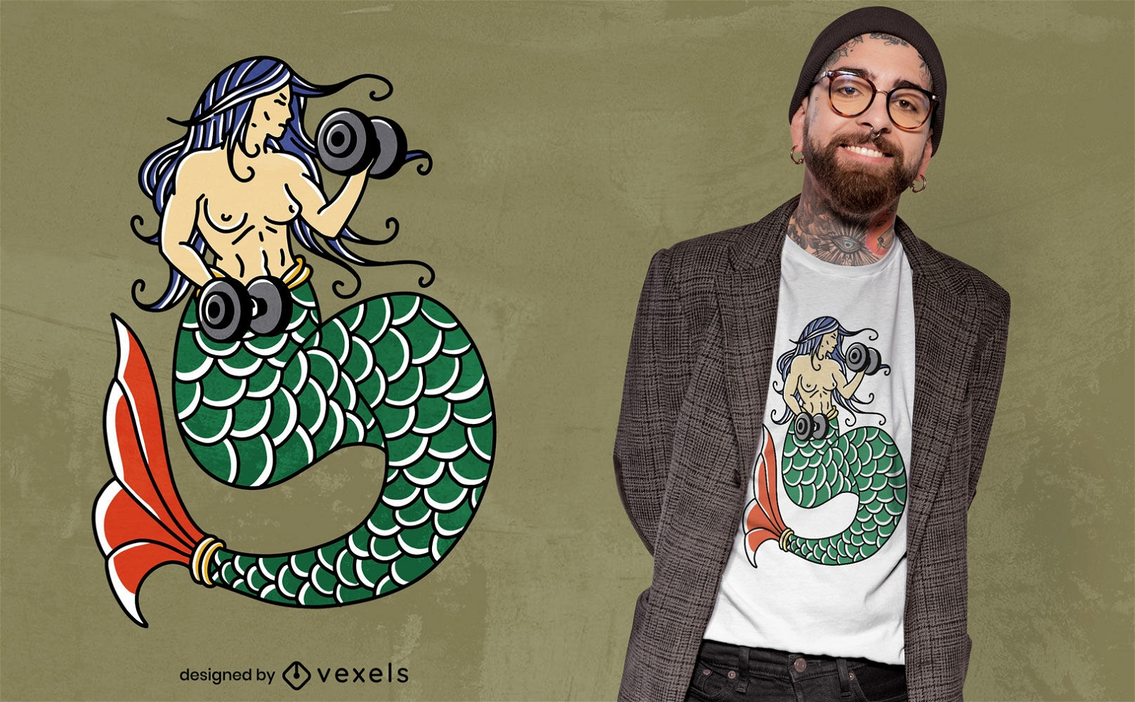
Design de t-shirt de sereia de halterofilismo
Escolha uma pasta
Todos os favoritos
Criar novo
Salvar
Design de t-shirt de sereia de halterofilismo
Pronto para imprimir
para Merch
Design engraçado de camisetas eslavas
Escolha uma pasta
Todos os favoritos
Criar novo
Salvar
Design engraçado de camisetas eslavas
Pronto para imprimir
para Merch
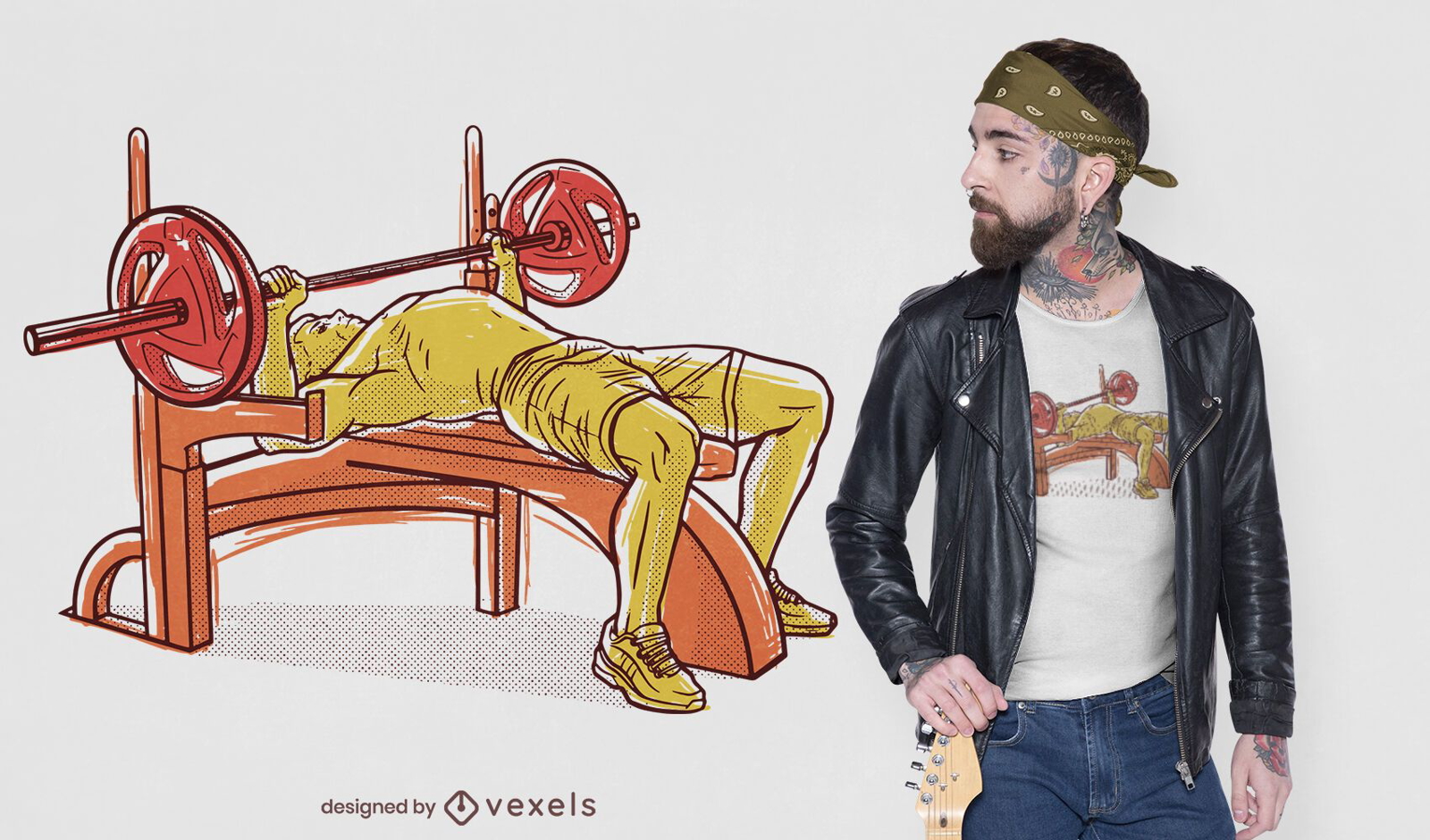
Design de t-shirt de supino desenhado à mão
Escolha uma pasta
Todos os favoritos
Criar novo
Salvar
Design de t-shirt de supino desenhado à mão
Pronto para imprimir
para Merch
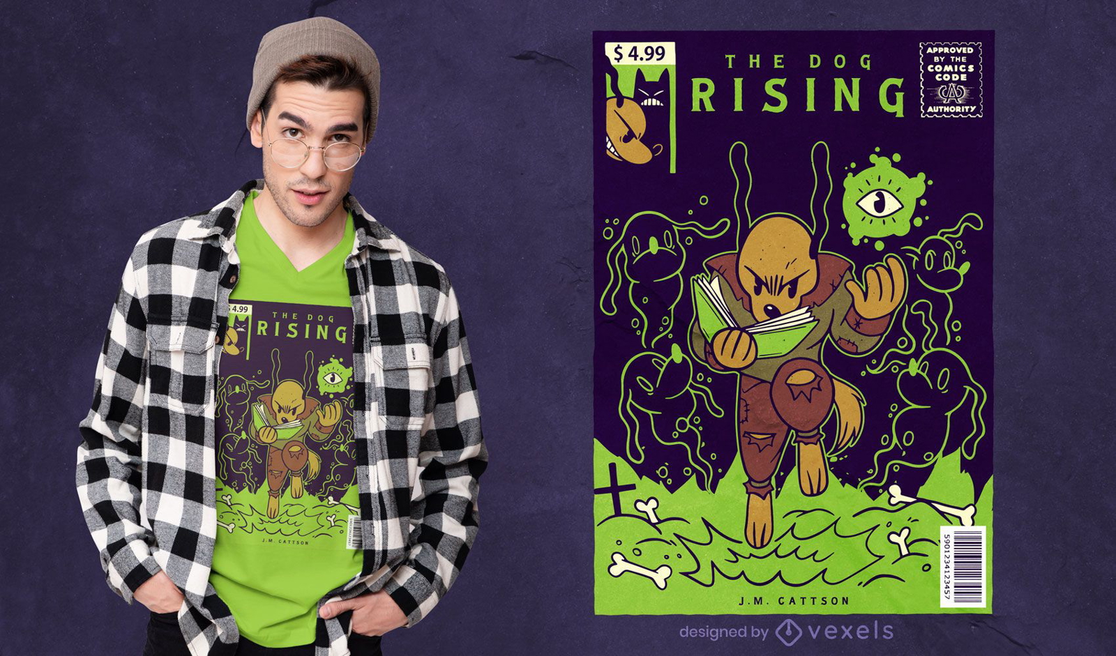
Design de camiseta para cachorro com capa de quadrinhos
Escolha uma pasta
Todos os favoritos
Criar novo
Salvar
Design de camiseta para cachorro com capa de quadrinhos
Pronto para imprimir
para Merch
Design de camiseta de treino de guaxinim
Escolha uma pasta
Todos os favoritos
Criar novo
Salvar
Design de camiseta de treino de guaxinim
Pronto para imprimir
para Merch
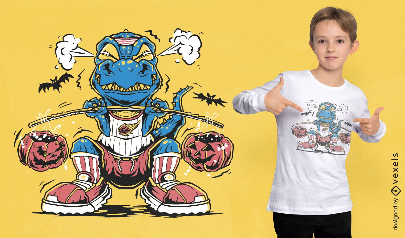
Design de camiseta de levantamento de peso T-rex
Escolha uma pasta
Todos os favoritos
Criar novo
Salvar
Design de camiseta de levantamento de peso T-rex
Pronto para imprimir
para Merch
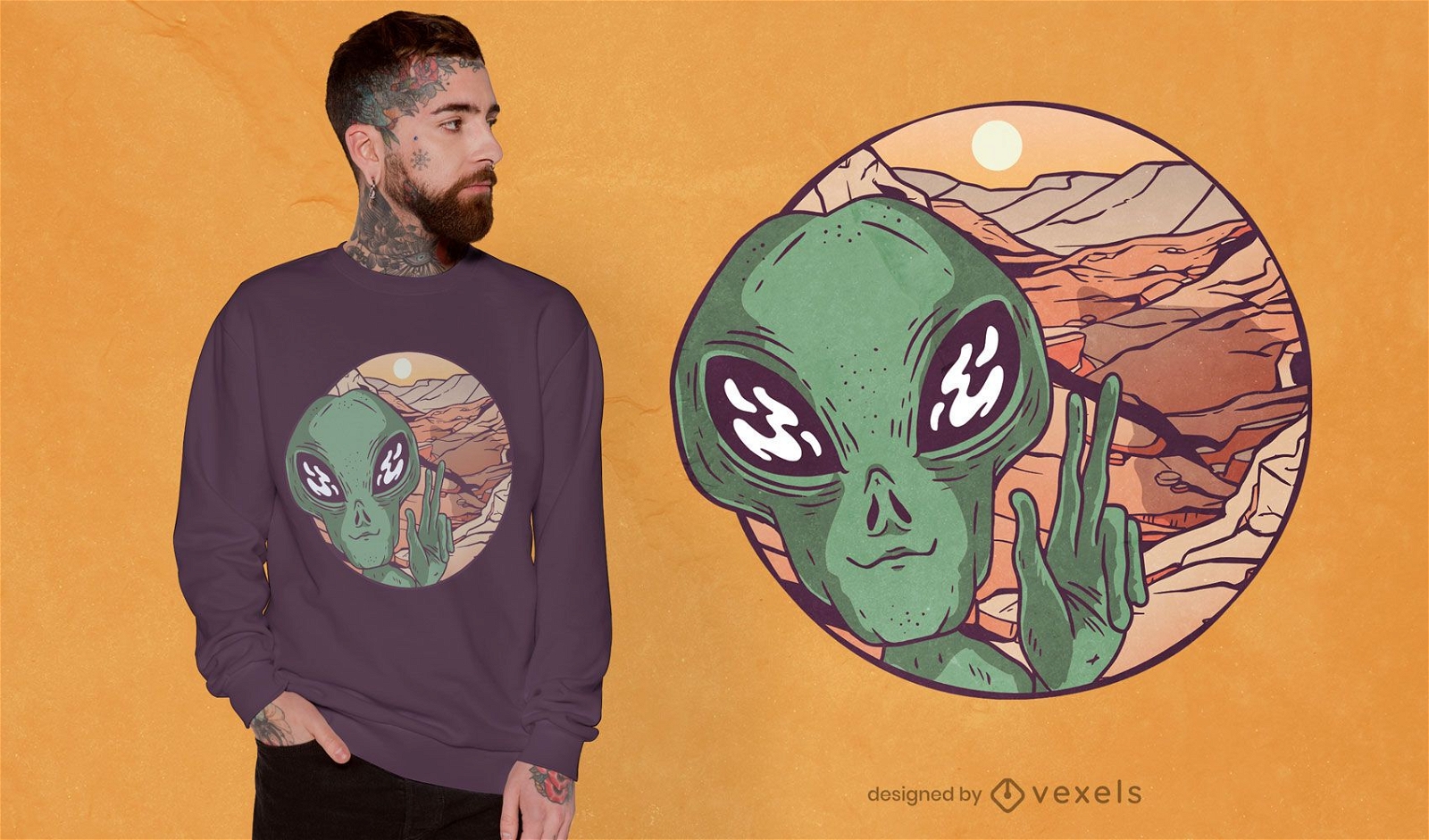
Design de camiseta selfie marciana
Escolha uma pasta
Todos os favoritos
Criar novo
Salvar
Design de camiseta selfie marciana
Impulsione seu negócio
Com a plataforma gráfica líder de mercado.
Ver planos
Próxima
do 4
prev page
next page