Biblioteca de design
Novos designs Merch
Camisetas
Vectores
Designs de Merch de Tendência
PNGs & SVGs
Mockups
Modelos de T-Shirt PSD
Explorar Desenhos
Designs KDP
Pôsteres
Canecas
Capas para celular
Sacos de compras
Almofadas
Ferramentas de desenho
Merch Designer
Novo!
Mockup Generator
Gerador de Design de AI
Vetorizador
Quote Generator
T-Shirt Maker (Antigo)
Ajuda
Merch Digest
Blog
Centro de Ajuda
Saiba mais sobre o Merch
Feedback
Soluções Corporativas
Empresa
Acesso à API
Estúdio de Design
Design em Lote
Preços
Carregando...
Inscrever-se
Conecte-se
Merch Vectors
levantando
Biblioteca de design
Novos designs Merch
Camisetas
Vectores
Designs de Merch de Tendência
PNGs & SVGs
Mockups
Modelos de T-Shirt PSD
Explorar Desenhos
Designs KDP
Pôsteres
Canecas
Capas para celular
Sacos de compras
Almofadas
Ferramentas de desenho
Merch Designer
Novo!
Mockup Generator
Gerador de Design de AI
Vetorizador
Quote Generator
T-Shirt Maker (Antigo)
Ajuda
Merch Digest
Blog
Centro de Ajuda
Saiba mais sobre o Merch
Feedback
Soluções Corporativas
Empresa
Acesso à API
Estúdio de Design
Design em Lote
PLANOS
Merch Vectors
levantando
179 Designs Vetoriais de levantando para Camisetas e Merch
Baixar e comprar Designs Vetoriais AI de levantando para Camisetas, Capas do Celular, Capas do Livros e outros produtos Merch
Relacionado:
levantando as mãos
,
levantando pesos
,
levantando jogadores
Ordenar por
Mais relevante
Resultados patrocinados da
Ganhe 15% de desconto com o código: VEXELS15
veja mais detalhes
Premium
Ilustração de halteres levantando pesos
Escolha uma pasta
Todos os favoritos
Criar novo
Salvar
Ilustração de halteres levantando pesos
texto editável
Pronto para imprimir
Premium
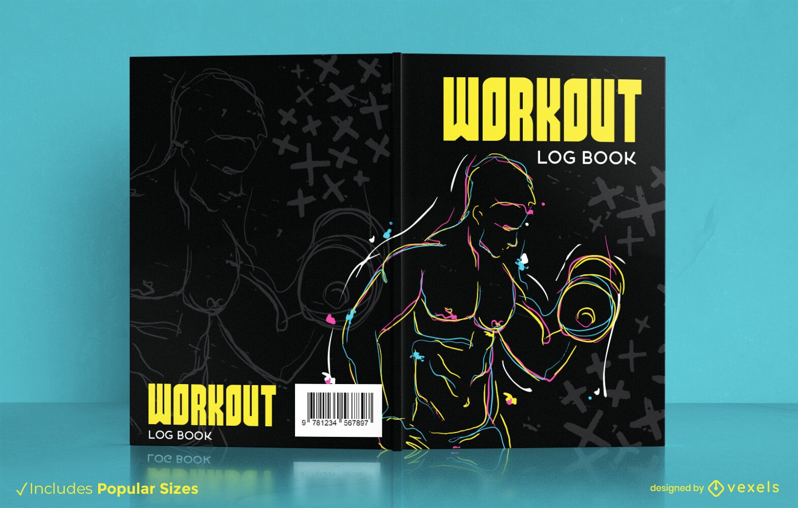
Homem levantando pesos design de capa de livro
Escolha uma pasta
Todos os favoritos
Criar novo
Salvar
Homem levantando pesos design de capa de livro
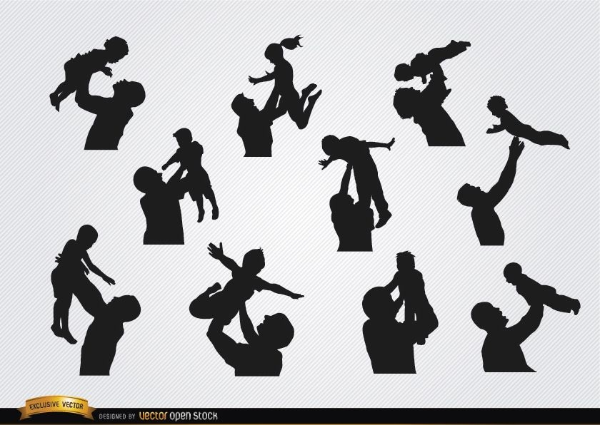
Silhuetas de pais criando filhos
Escolha uma pasta
Todos os favoritos
Criar novo
Salvar
Silhuetas de pais criando filhos
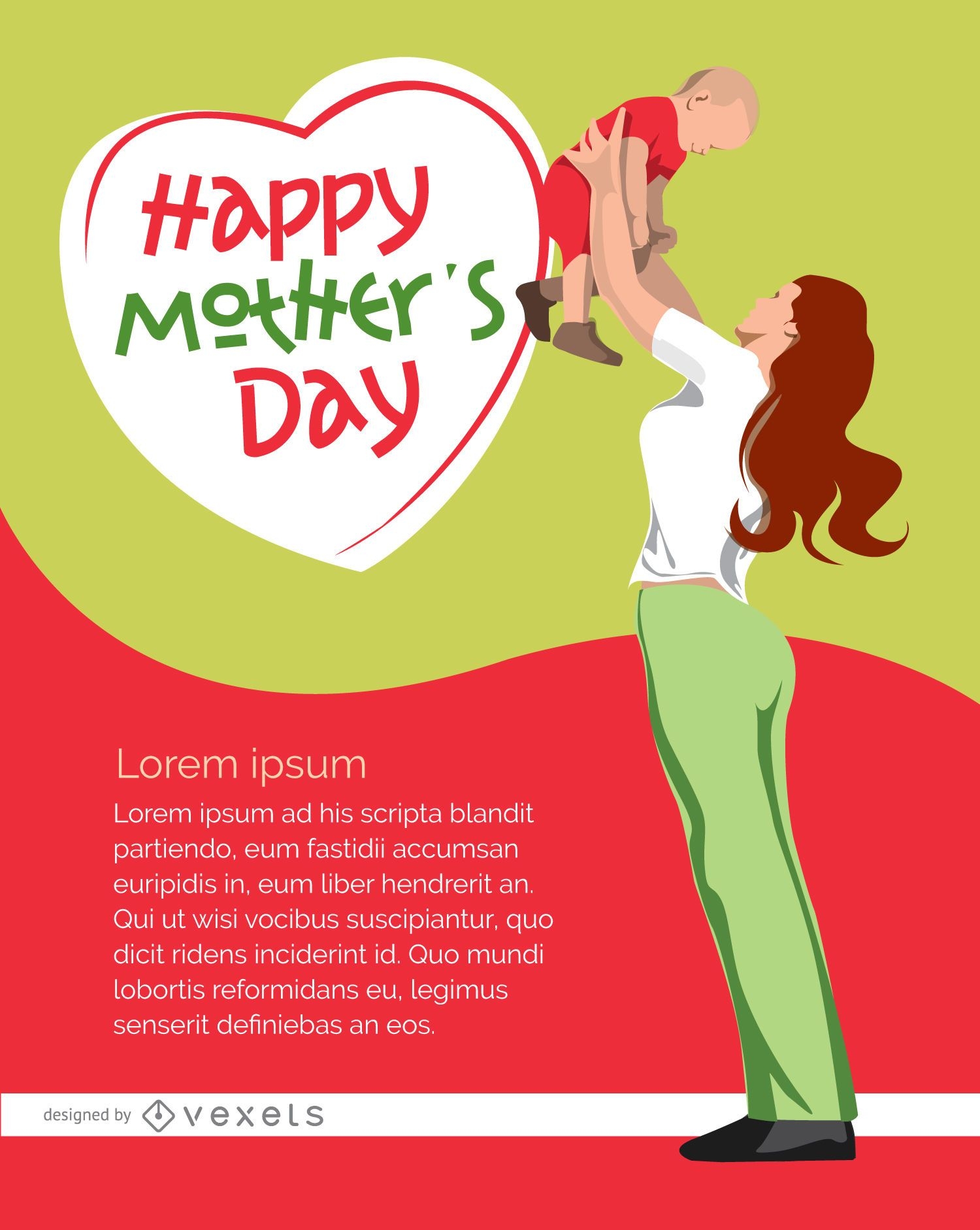
Poster feliz dia das mães
Escolha uma pasta
Todos os favoritos
Criar novo
Salvar
Poster feliz dia das mães
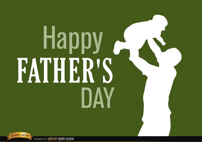
Pai dia dos pais criando bebe
Escolha uma pasta
Todos os favoritos
Criar novo
Salvar
Pai dia dos pais criando bebe
Premium
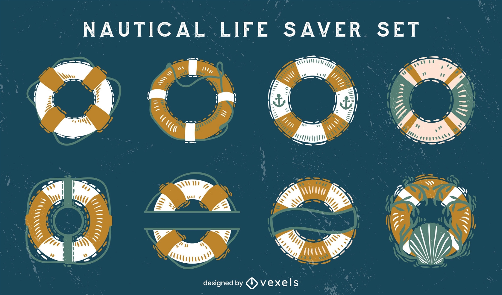
Salva-vidas náuticos
Escolha uma pasta
Todos os favoritos
Criar novo
Salvar
Salva-vidas náuticos
Premium
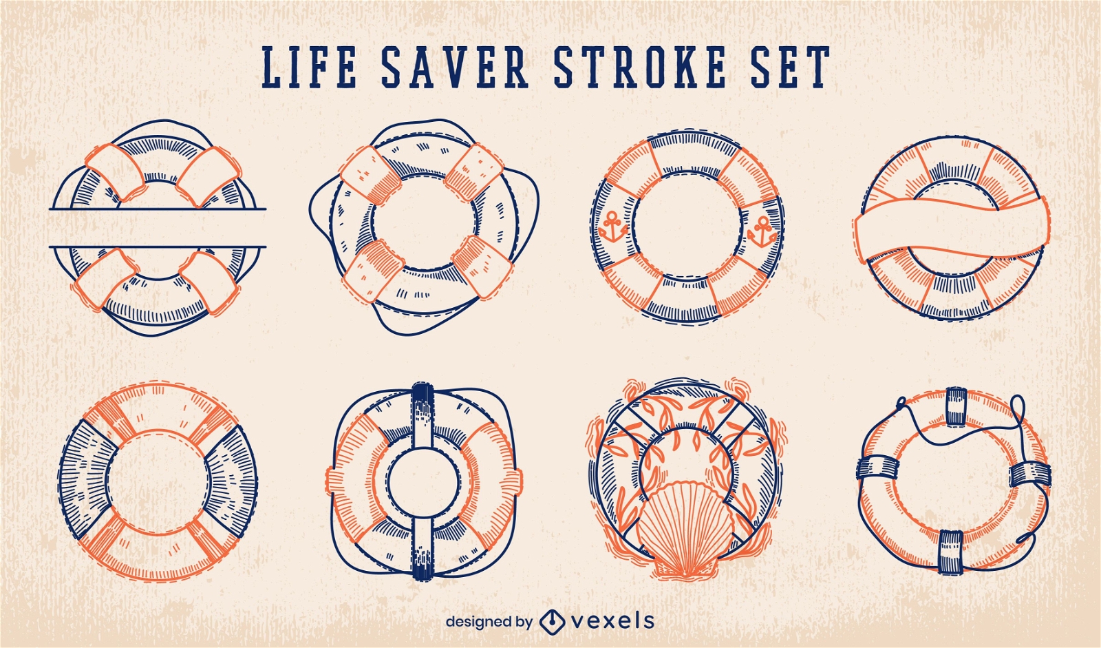
Conjunto de golpes de salva-vidas náuticos
Escolha uma pasta
Todos os favoritos
Criar novo
Salvar
Conjunto de golpes de salva-vidas náuticos
Garota cantando em um show
Escolha uma pasta
Todos os favoritos
Criar novo
Salvar
Garota cantando em um show
Premium
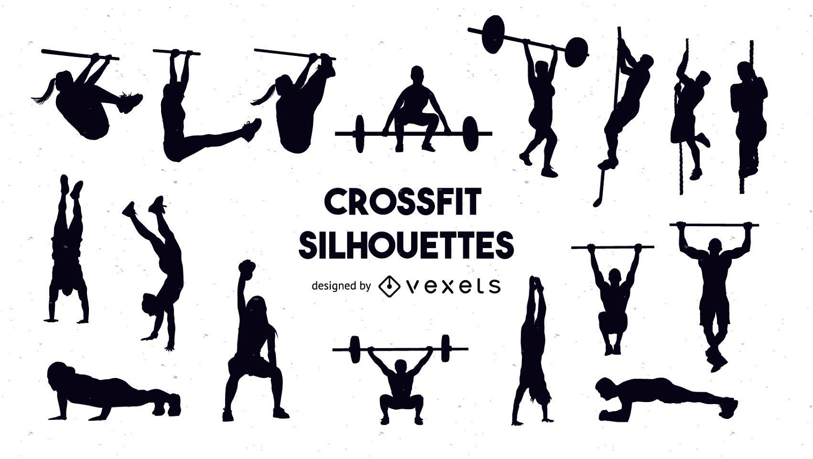
Conjunto de silhueta crossfit
Escolha uma pasta
Todos os favoritos
Criar novo
Salvar
Conjunto de silhueta crossfit
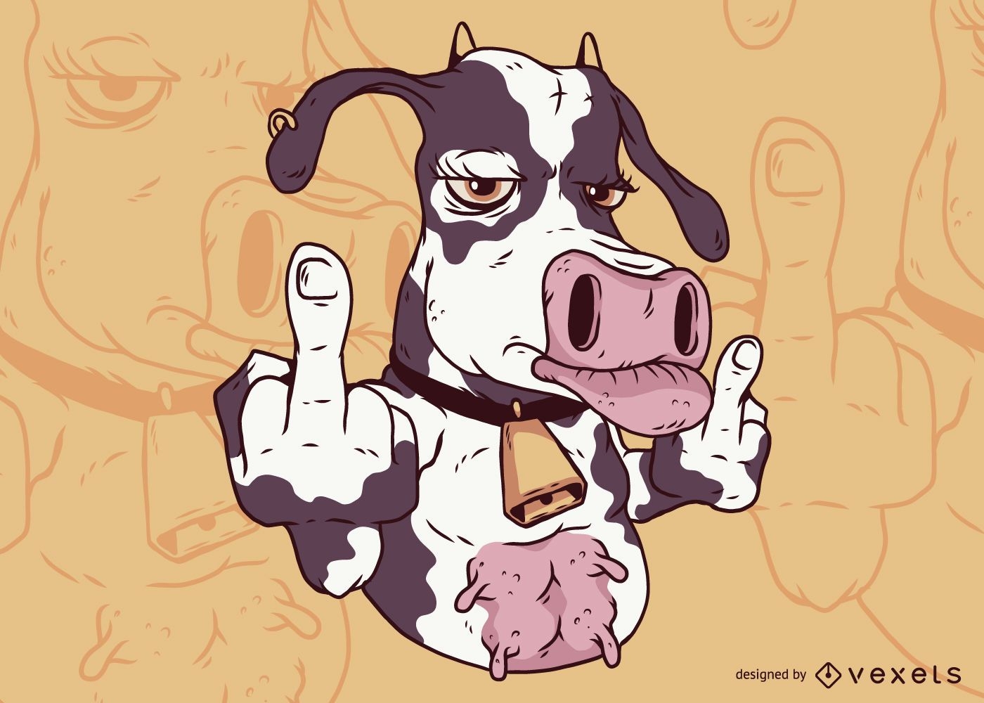
Dedo Médio de Vaca
Escolha uma pasta
Todos os favoritos
Criar novo
Salvar
Dedo Médio de Vaca
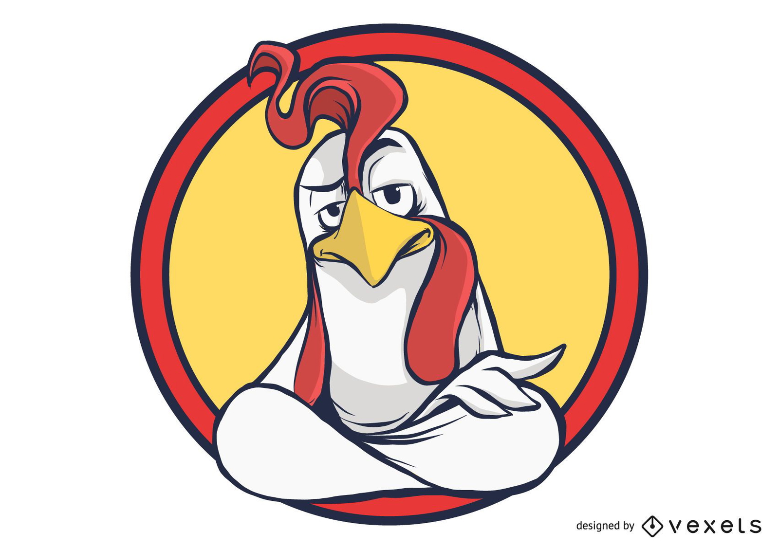
Desenho de galo dentro dos círculos
Escolha uma pasta
Todos os favoritos
Criar novo
Salvar
Desenho de galo dentro dos círculos
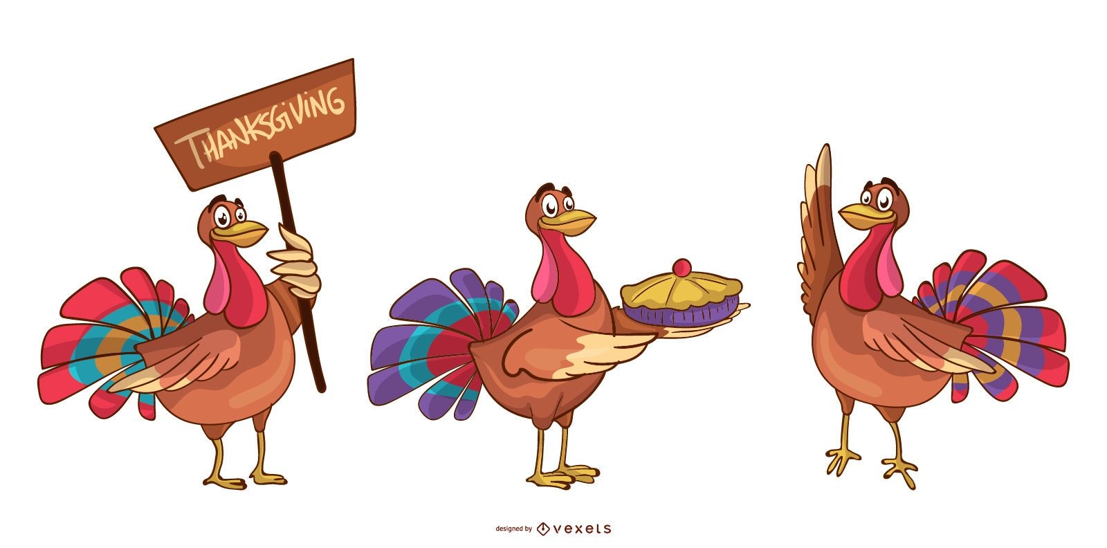
Conjunto de desenhos animados de perus para o Dia de Ação de Graças
Escolha uma pasta
Todos os favoritos
Criar novo
Salvar
Conjunto de desenhos animados de perus para o Dia de Ação de Graças
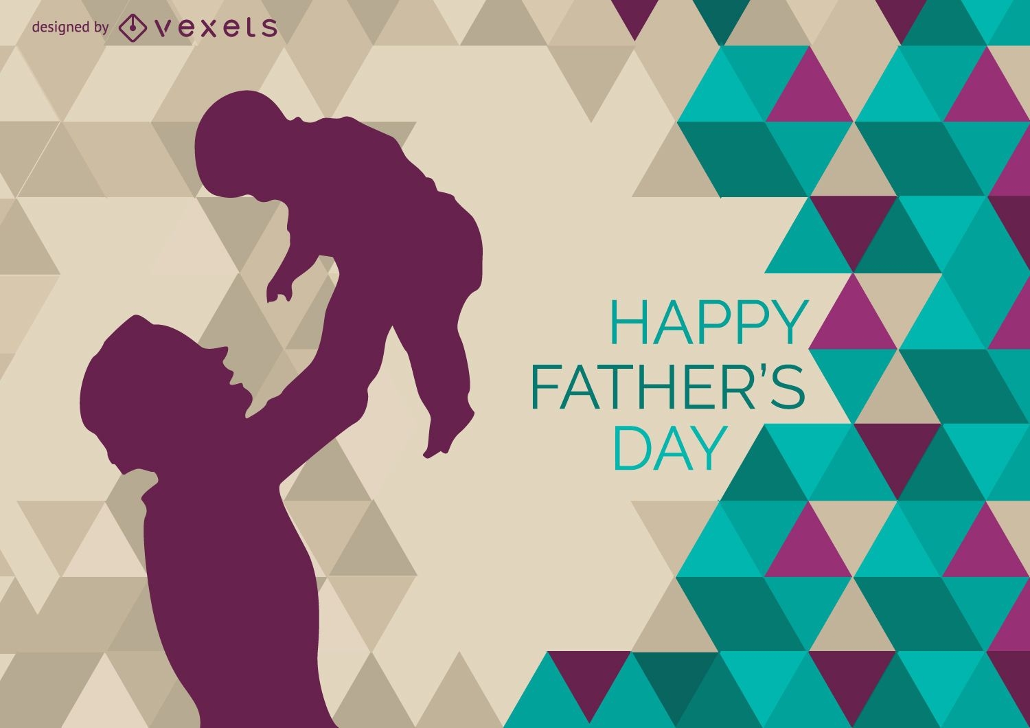
Pai criança em ascensão
Escolha uma pasta
Todos os favoritos
Criar novo
Salvar
Pai criança em ascensão
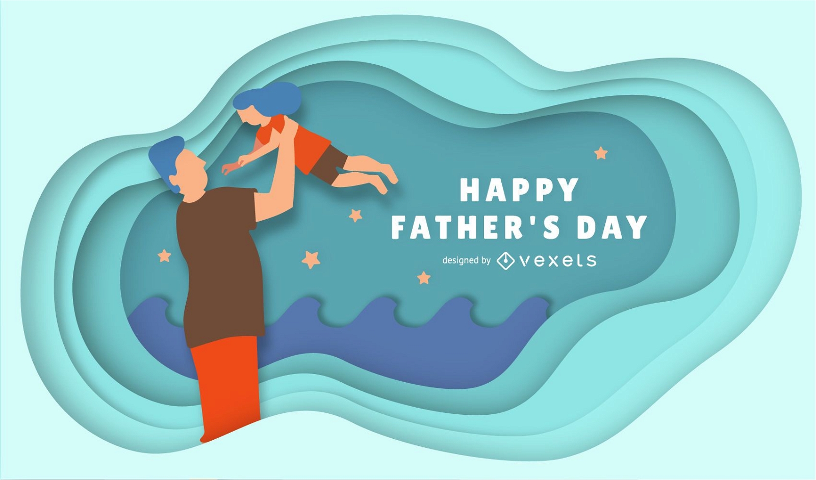
Feliz dia dos pais ilustração
Escolha uma pasta
Todos os favoritos
Criar novo
Salvar
Feliz dia dos pais ilustração
Promo de fita de compras de garota
Escolha uma pasta
Todos os favoritos
Criar novo
Salvar
Promo de fita de compras de garota
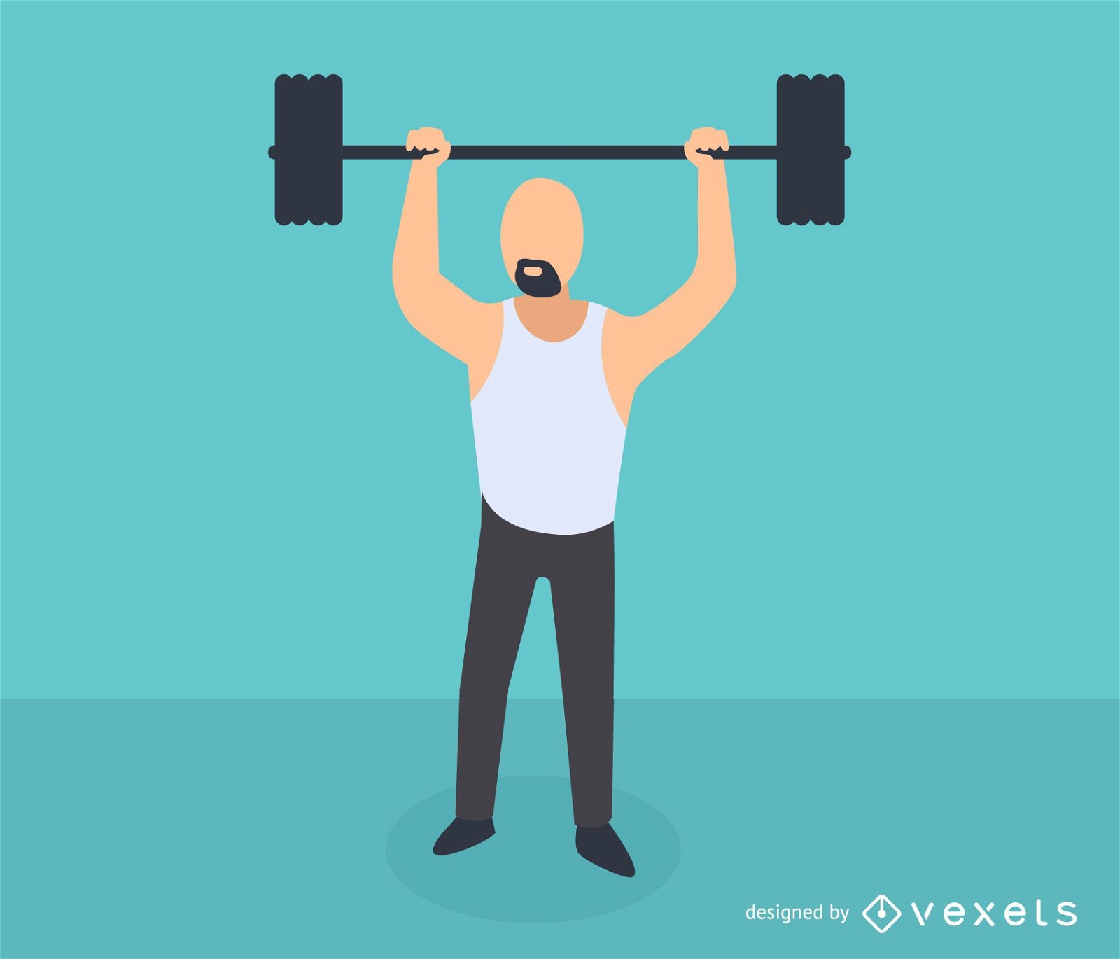
Ilustração de levantamento de peso para ficar em forma
Escolha uma pasta
Todos os favoritos
Criar novo
Salvar
Ilustração de levantamento de peso para ficar em forma
texto editável
Pronto para imprimir
Premium
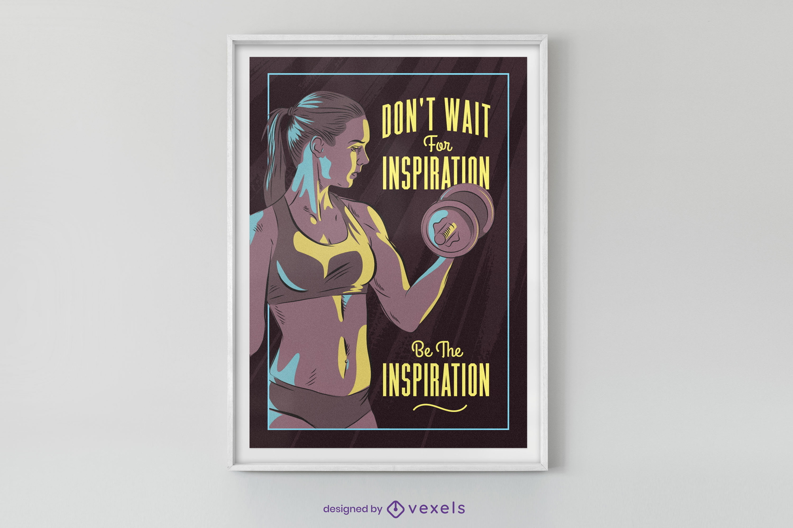
Design de cartaz de inspiração de ginásio
Escolha uma pasta
Todos os favoritos
Criar novo
Salvar
Design de cartaz de inspiração de ginásio
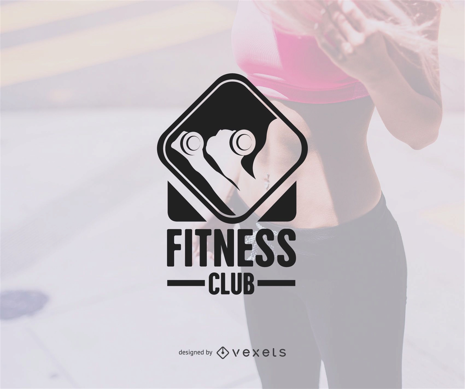
Modelo de logotipo do ginásio
Escolha uma pasta
Todos os favoritos
Criar novo
Salvar
Modelo de logotipo do ginásio
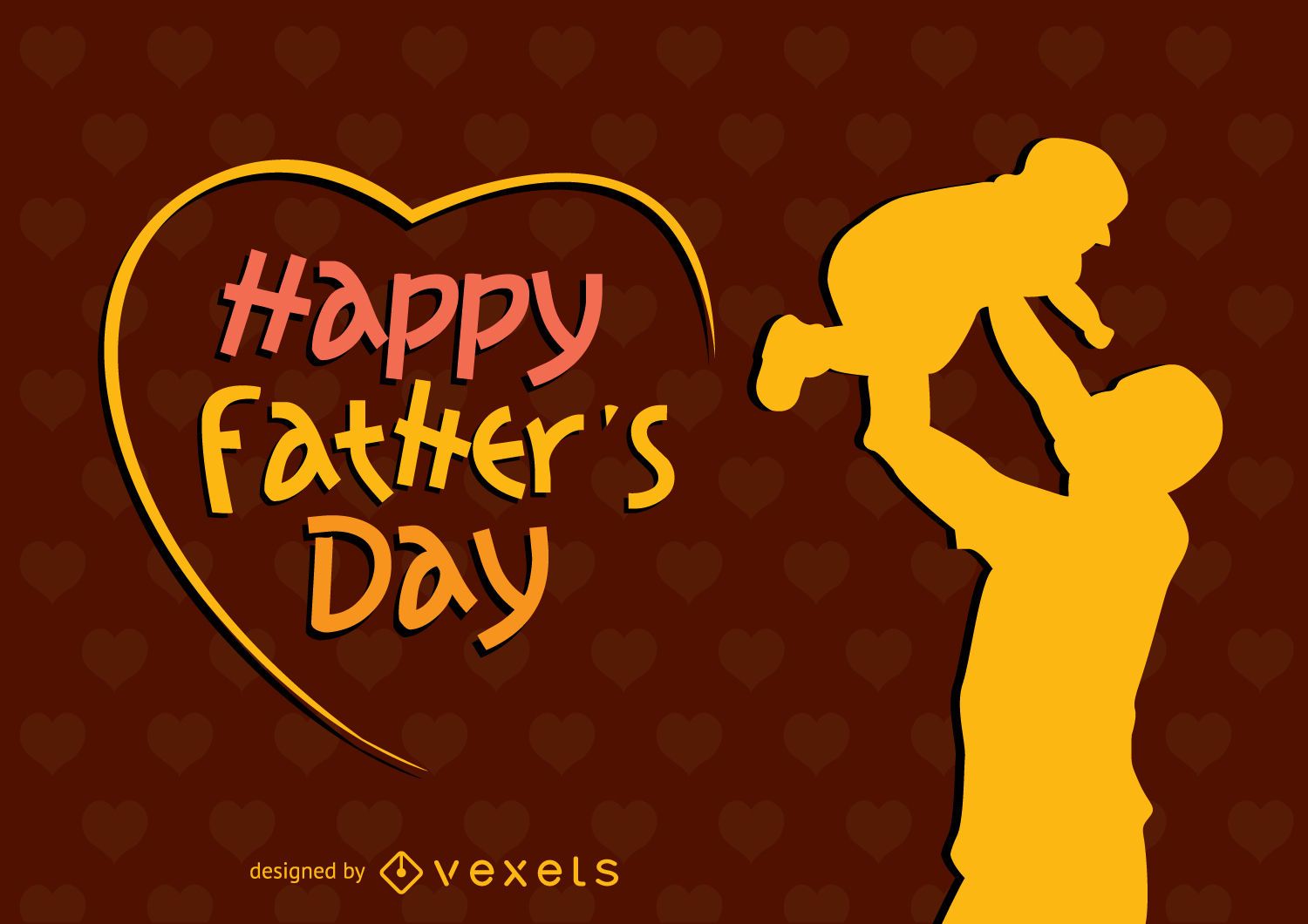
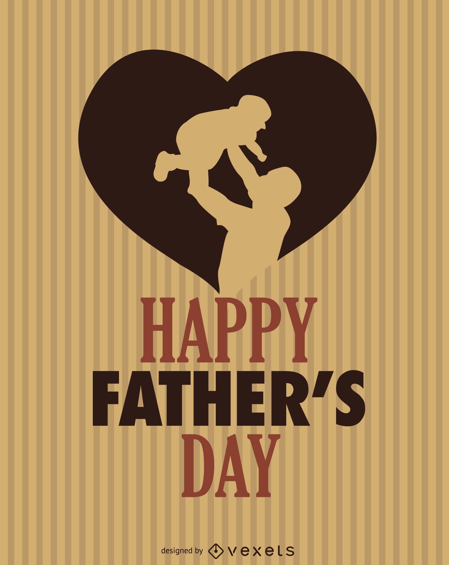
Feliz dia dos pais coração
Escolha uma pasta
Todos os favoritos
Criar novo
Salvar
Feliz dia dos pais coração
texto editável
Pronto para imprimir
Premium
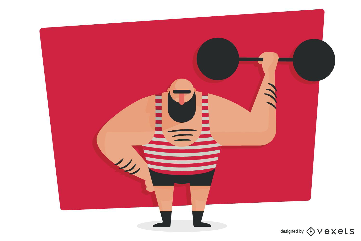
Design de capa de livro de peso de levantamento de braço forte
Escolha uma pasta
Todos os favoritos
Criar novo
Salvar
Design de capa de livro de peso de levantamento de braço forte
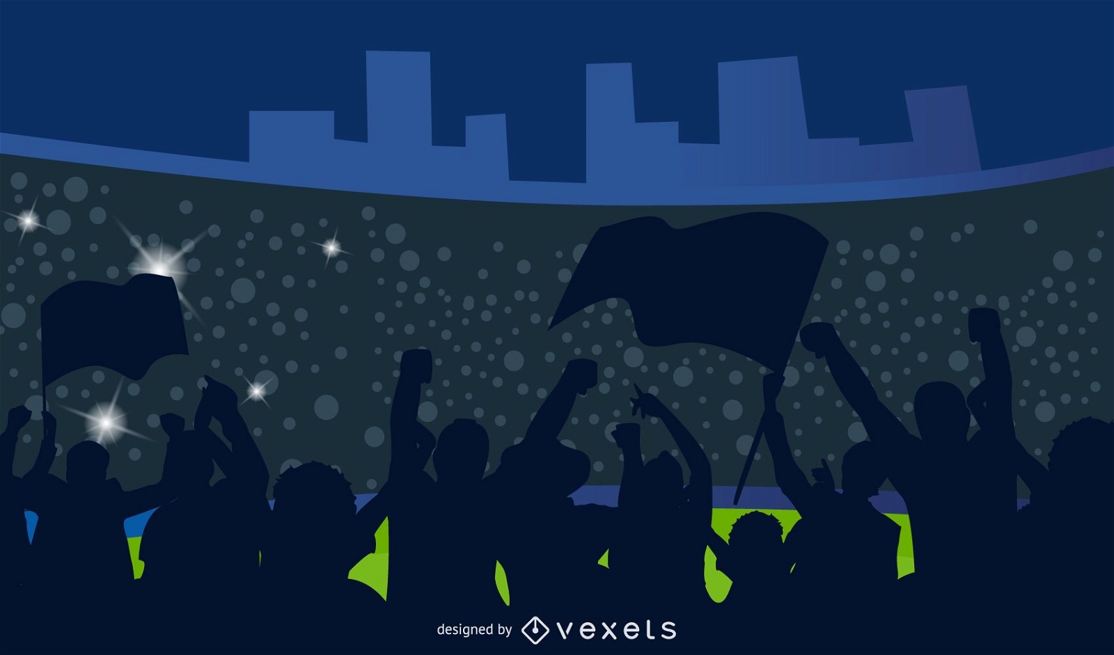
Silhueta torcedores de futebol
Escolha uma pasta
Todos os favoritos
Criar novo
Salvar
Silhueta torcedores de futebol
TrumPet Studio
Escolha uma pasta
Todos os favoritos
Criar novo
Salvar
TrumPet Studio
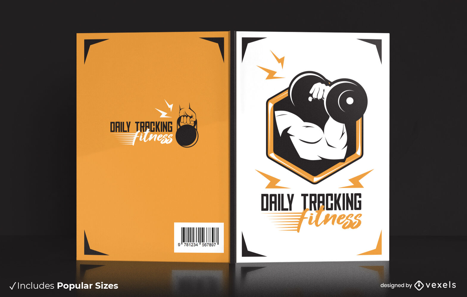
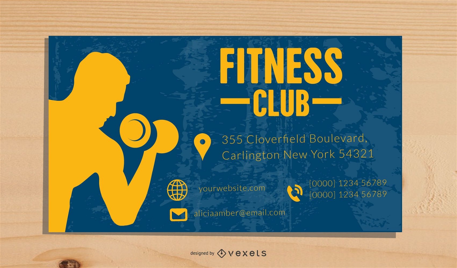
Modelo de cartão de visita de fitness
Escolha uma pasta
Todos os favoritos
Criar novo
Salvar
Modelo de cartão de visita de fitness
Premium
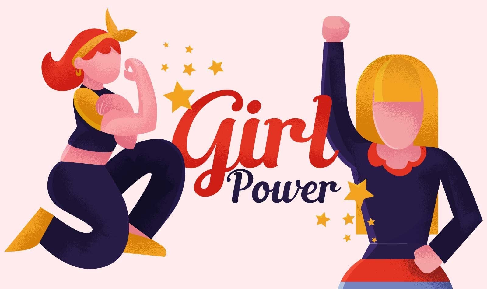
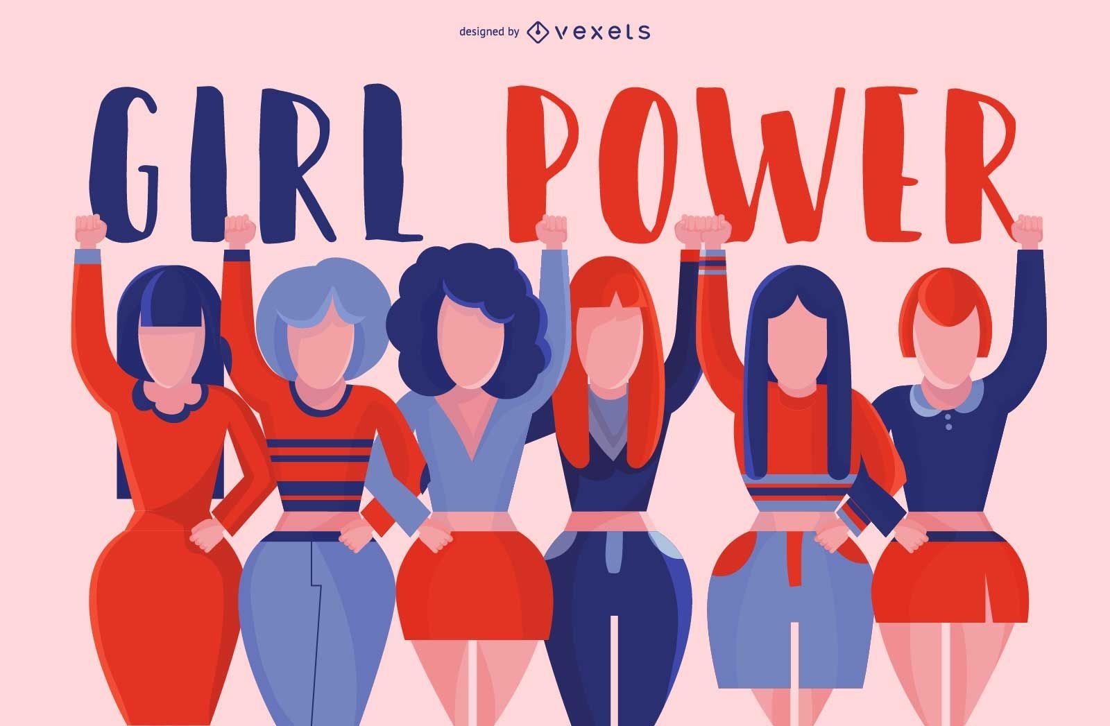
Ilustração feminista do poder feminino
Escolha uma pasta
Todos os favoritos
Criar novo
Salvar
Ilustração feminista do poder feminino
Design de ilustração do dia dos pais
Escolha uma pasta
Todos os favoritos
Criar novo
Salvar
Design de ilustração do dia dos pais
Premium
Projeto de grupo feminino
Escolha uma pasta
Todos os favoritos
Criar novo
Salvar
Projeto de grupo feminino
Ícone isométrico de levantamento de peso de homem
Escolha uma pasta
Todos os favoritos
Criar novo
Salvar
Ícone isométrico de levantamento de peso de homem
Pessoas curtindo um belo pôr do sol
Escolha uma pasta
Todos os favoritos
Criar novo
Salvar
Pessoas curtindo um belo pôr do sol
Premium
Feliz Dia dos Pais Design
Escolha uma pasta
Todos os favoritos
Criar novo
Salvar
Feliz Dia dos Pais Design
Impulsione seu negócio
Com a plataforma gráfica líder de mercado.
Ver planos
do 4
prev page
next page