Biblioteca de design
Novos designs Merch
Camisetas
Vectores
Designs de Merch de Tendência
PNGs & SVGs
Mockups
Modelos de T-Shirt PSD
Explorar Desenhos
Designs KDP
Pôsteres
Canecas
Capas para celular
Sacos de compras
Almofadas
Ferramentas de desenho
Merch Designer
Novo!
Mockup Generator
Gerador de Design de AI
Vetorizador
Quote Generator
T-Shirt Maker (Antigo)
Ajuda
Merch Digest
Blog
Centro de Ajuda
Saiba mais sobre o Merch
Feedback
Soluções Corporativas
Empresa
Acesso à API
Estúdio de Design
Design em Lote
Preços
Carregando...
Inscrever-se
Conecte-se
PNG
estados
Biblioteca de design
Novos designs Merch
Camisetas
Vectores
Designs de Merch de Tendência
PNGs & SVGs
Mockups
Modelos de T-Shirt PSD
Explorar Desenhos
Designs KDP
Pôsteres
Canecas
Capas para celular
Sacos de compras
Almofadas
Ferramentas de desenho
Merch Designer
Novo!
Mockup Generator
Gerador de Design de AI
Vetorizador
Quote Generator
T-Shirt Maker (Antigo)
Ajuda
Merch Digest
Blog
Centro de Ajuda
Saiba mais sobre o Merch
Feedback
Soluções Corporativas
Empresa
Acesso à API
Estúdio de Design
Design em Lote
PLANOS
PNG
estados
1873 Vetores editáveis em PNG e SVG de estados
Baixar Vetores PNG e SVG editáveis de estados com fundo transparente.
Relacionado:
estados unidos
,
produzido nos estados unidos
,
bandeira dos estados unidos
Ordenar por
Mais relevante
Resultados patrocinados da
Ganhe 15% de desconto com o código: VEXELS15
veja mais detalhes
Mandala dos Estados Novo México Desenho PNG
Escolha uma pasta
Todos os favoritos
Criar novo
Salvar
Mandala dos Estados Novo México Desenho PNG
mandala dos estados oklahoma Desenho PNG
Escolha uma pasta
Todos os favoritos
Criar novo
Salvar
mandala dos estados oklahoma Desenho PNG
Mandala dos Estados Pensilvânia Desenho PNG
Escolha uma pasta
Todos os favoritos
Criar novo
Salvar
Mandala dos Estados Pensilvânia Desenho PNG
Mandala dos Estados Rhode Island Desenho PNG
Escolha uma pasta
Todos os favoritos
Criar novo
Salvar
Mandala dos Estados Rhode Island Desenho PNG
Estados da mandala da Dakota do Sul Desenho PNG
Escolha uma pasta
Todos os favoritos
Criar novo
Salvar
Estados da mandala da Dakota do Sul Desenho PNG
Estados da mandala do Tennessee Desenho PNG
Escolha uma pasta
Todos os favoritos
Criar novo
Salvar
Estados da mandala do Tennessee Desenho PNG
Capitólio dos Estados Unidos cortado Desenho PNG
Escolha uma pasta
Todos os favoritos
Criar novo
Salvar
Capitólio dos Estados Unidos cortado Desenho PNG
distintivo dos estados unidos da américa Desenho PNG
Escolha uma pasta
Todos os favoritos
Criar novo
Salvar
distintivo dos estados unidos da américa Desenho PNG
distintivo americano dos EUA Desenho PNG
Escolha uma pasta
Todos os favoritos
Criar novo
Salvar
distintivo americano dos EUA Desenho PNG
Traço de cor dos EUA Desenho PNG
Escolha uma pasta
Todos os favoritos
Criar novo
Salvar
Traço de cor dos EUA Desenho PNG
FeltTipBrushedScript-FourthofJuly-PhrasesinUSAShape-Vinyl - 4 Desenho PNG
Escolha uma pasta
Todos os favoritos
Criar novo
Salvar
FeltTipBrushedScript-FourthofJuly-PhrasesinUSAShape-Vinyl - 4 Desenho PNG
Citação de amor dos EUA semi plana Desenho PNG
Escolha uma pasta
Todos os favoritos
Criar novo
Salvar
Citação de amor dos EUA semi plana Desenho PNG
Mandala dos Estados Dakota do Norte Desenho PNG
Escolha uma pasta
Todos os favoritos
Criar novo
Salvar
Mandala dos Estados Dakota do Norte Desenho PNG
elementos do dia da independência dos EUA vintage - 5 Desenho PNG
Escolha uma pasta
Todos os favoritos
Criar novo
Salvar
elementos do dia da independência dos EUA vintage - 5 Desenho PNG
Curso de vestido estampado dos Estados Unidos Desenho PNG
Escolha uma pasta
Todos os favoritos
Criar novo
Salvar
Curso de vestido estampado dos Estados Unidos Desenho PNG
Bandeira dos EUA em balões plana Desenho PNG
Escolha uma pasta
Todos os favoritos
Criar novo
Salvar
Bandeira dos EUA em balões plana Desenho PNG
Ícone de cúpula do Capitólio dos Estados Unidos Desenho PNG
Escolha uma pasta
Todos os favoritos
Criar novo
Salvar
Ícone de cúpula do Capitólio dos Estados Unidos Desenho PNG
Derrame da cúpula do capitólio dos Estados Unidos Desenho PNG
Escolha uma pasta
Todos os favoritos
Criar novo
Salvar
Derrame da cúpula do capitólio dos Estados Unidos Desenho PNG
Elemento de traço da bandeira patriótica dos EUA Desenho PNG
Escolha uma pasta
Todos os favoritos
Criar novo
Salvar
Elemento de traço da bandeira patriótica dos EUA Desenho PNG
Elemento do Capitólio dos Estados Unidos Desenho PNG
Escolha uma pasta
Todos os favoritos
Criar novo
Salvar
Elemento do Capitólio dos Estados Unidos Desenho PNG
Premium
Nova Iorque, Estados Unidos Desenho PNG
Escolha uma pasta
Todos os favoritos
Criar novo
Salvar
Nova Iorque, Estados Unidos Desenho PNG
Premium
Citação feita americana Desenho PNG
Escolha uma pasta
Todos os favoritos
Criar novo
Salvar
Citação feita americana Desenho PNG
Silhueta do mapa de Nevada EUA Desenho PNG
Escolha uma pasta
Todos os favoritos
Criar novo
Salvar
Silhueta do mapa de Nevada EUA Desenho PNG
Silhueta do mapa de Nebraska EUA Desenho PNG
Escolha uma pasta
Todos os favoritos
Criar novo
Salvar
Silhueta do mapa de Nebraska EUA Desenho PNG
Premium
Design gráfico patriótico feito na América Desenho PNG
Escolha uma pasta
Todos os favoritos
Criar novo
Salvar
Design gráfico patriótico feito na América Desenho PNG
Elemento de fogos de artifício patriótico Desenho PNG
Escolha uma pasta
Todos os favoritos
Criar novo
Salvar
Elemento de fogos de artifício patriótico Desenho PNG
Premium
Design de citação divertida de aventura com mapa dos EUA Desenho PNG
Escolha uma pasta
Todos os favoritos
Criar novo
Salvar
Design de citação divertida de aventura com mapa dos EUA Desenho PNG
Design elegante de etiqueta de viagem para os EUA Desenho PNG
Escolha uma pasta
Todos os favoritos
Criar novo
Salvar
Design elegante de etiqueta de viagem para os EUA Desenho PNG
Premium
estados dos eua do pôr do sol retrô do colorado Desenho PNG
Escolha uma pasta
Todos os favoritos
Criar novo
Salvar
estados dos eua do pôr do sol retrô do colorado Desenho PNG
vintage elementos do dia da independência dos EUA - 21 Desenho PNG
Escolha uma pasta
Todos os favoritos
Criar novo
Salvar
vintage elementos do dia da independência dos EUA - 21 Desenho PNG
Premium
O estado da Virgínia é mostrado Desenho PNG
Escolha uma pasta
Todos os favoritos
Criar novo
Salvar
O estado da Virgínia é mostrado Desenho PNG
vintage dos elementos do dia da independência dos eua - 19 Desenho PNG
Escolha uma pasta
Todos os favoritos
Criar novo
Salvar
vintage dos elementos do dia da independência dos eua - 19 Desenho PNG
Cabeça de curso de centavo Desenho PNG
Escolha uma pasta
Todos os favoritos
Criar novo
Salvar
Cabeça de curso de centavo Desenho PNG
vintage elementos do dia da independência dos eua - 20 Desenho PNG
Escolha uma pasta
Todos os favoritos
Criar novo
Salvar
vintage elementos do dia da independência dos eua - 20 Desenho PNG
Premium
Coração da bandeira americana Desenho PNG
Escolha uma pasta
Todos os favoritos
Criar novo
Salvar
Coração da bandeira americana Desenho PNG
Premium
Orçamento gratuito desde 1776 Desenho PNG
Escolha uma pasta
Todos os favoritos
Criar novo
Salvar
Orçamento gratuito desde 1776 Desenho PNG
Premium
A aventura está aí, vá encontrá-la no mapa dos EUA Desenho PNG
Escolha uma pasta
Todos os favoritos
Criar novo
Salvar
A aventura está aí, vá encontrá-la no mapa dos EUA Desenho PNG
Premium
Citação da terra dos sonhos nos EUA Desenho PNG
Escolha uma pasta
Todos os favoritos
Criar novo
Salvar
Citação da terra dos sonhos nos EUA Desenho PNG
Premium
Deus abençoe a América azul Desenho PNG
Escolha uma pasta
Todos os favoritos
Criar novo
Salvar
Deus abençoe a América azul Desenho PNG
Premium
Ilustração estilizada de pontos turísticos da cidade de Nova York Desenho PNG
Escolha uma pasta
Todos os favoritos
Criar novo
Salvar
Ilustração estilizada de pontos turísticos da cidade de Nova York Desenho PNG
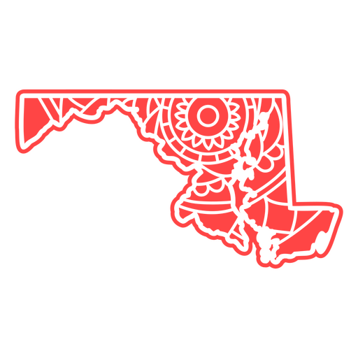
Estados da mandala de Maryland Desenho PNG
Escolha uma pasta
Todos os favoritos
Criar novo
Salvar
Estados da mandala de Maryland Desenho PNG
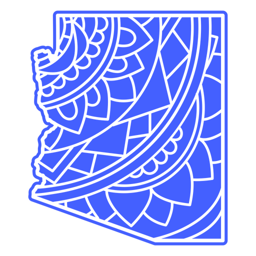
Estados da mandala do Arizona Desenho PNG
Escolha uma pasta
Todos os favoritos
Criar novo
Salvar
Estados da mandala do Arizona Desenho PNG
Premium
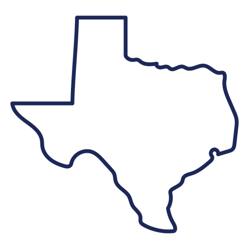
Curso de mapa do Texas Desenho PNG
Escolha uma pasta
Todos os favoritos
Criar novo
Salvar
Curso de mapa do Texas Desenho PNG
Premium
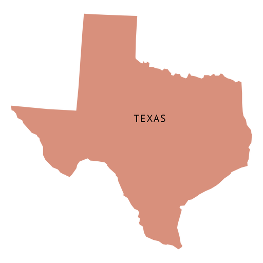
Mapa plano do estado do Texas Desenho PNG
Escolha uma pasta
Todos os favoritos
Criar novo
Salvar
Mapa plano do estado do Texas Desenho PNG
Premium
Design gráfico ousado feito nos EUA Desenho PNG
Escolha uma pasta
Todos os favoritos
Criar novo
Salvar
Design gráfico ousado feito nos EUA Desenho PNG
Premium
Design ousado para o quatro de julho Desenho PNG
Escolha uma pasta
Todos os favoritos
Criar novo
Salvar
Design ousado para o quatro de julho Desenho PNG
Premium
Design ousado do emblema "Made in USA" Desenho PNG
Escolha uma pasta
Todos os favoritos
Criar novo
Salvar
Design ousado do emblema "Made in USA" Desenho PNG
Premium
Design de mapa geométrico de Porto Rico Desenho PNG
Escolha uma pasta
Todos os favoritos
Criar novo
Salvar
Design de mapa geométrico de Porto Rico Desenho PNG
Premium
Mapa de acidente vascular cerebral do estado de Ohio Desenho PNG
Escolha uma pasta
Todos os favoritos
Criar novo
Salvar
Mapa de acidente vascular cerebral do estado de Ohio Desenho PNG
Premium
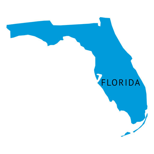
Mapa simples do estado da Flórida Desenho PNG
Escolha uma pasta
Todos os favoritos
Criar novo
Salvar
Mapa simples do estado da Flórida Desenho PNG
Inscreva-se
Para obter designs de uso comercial de alta qualidade para seus negócios
VER PLANOS
Próxima
do 38
prev page
next page