Biblioteca de design
Novos designs Merch
Camisetas
Vectores
Designs de Merch de Tendência
PNGs & SVGs
Mockups
Modelos de T-Shirt PSD
Explorar Desenhos
Designs KDP
Pôsteres
Canecas
Capas para celular
Sacos de compras
Almofadas
Ferramentas de desenho
Merch Designer
Novo!
Mockup Generator
Gerador de Design de AI
Vetorizador
Quote Generator
T-Shirt Maker (Antigo)
Ajuda
Merch Digest
Blog
Centro de Ajuda
Saiba mais sobre o Merch
Feedback
Soluções Corporativas
Empresa
Acesso à API
Estúdio de Design
Design em Lote
Preços
Carregando...
Inscrever-se
Conecte-se
PNG
geografia
Biblioteca de design
Novos designs Merch
Camisetas
Vectores
Designs de Merch de Tendência
PNGs & SVGs
Mockups
Modelos de T-Shirt PSD
Explorar Desenhos
Designs KDP
Pôsteres
Canecas
Capas para celular
Sacos de compras
Almofadas
Ferramentas de desenho
Merch Designer
Novo!
Mockup Generator
Gerador de Design de AI
Vetorizador
Quote Generator
T-Shirt Maker (Antigo)
Ajuda
Merch Digest
Blog
Centro de Ajuda
Saiba mais sobre o Merch
Feedback
Soluções Corporativas
Empresa
Acesso à API
Estúdio de Design
Design em Lote
PLANOS
PNG
geografia
684 Vetores editáveis em PNG e SVG de geografia
Baixar Vetores PNG e SVG editáveis de geografia com fundo transparente.
Relacionado:
entusiastas da geografia
,
geografia urbana
,
geografia asiatica
Ordenar por
Mais relevante
Resultados patrocinados da
Ganhe 15% de desconto com o código: VEXELS15
veja mais detalhes
De volta às aulas - 36 Desenho PNG
Escolha uma pasta
Todos os favoritos
Criar novo
Salvar
De volta às aulas - 36 Desenho PNG
Uma silhueta do mapa dos Emirados Árabes Unidos Desenho PNG
Escolha uma pasta
Todos os favoritos
Criar novo
Salvar
Uma silhueta do mapa dos Emirados Árabes Unidos Desenho PNG
Estados duotônicos da Louisiana Desenho PNG
Escolha uma pasta
Todos os favoritos
Criar novo
Salvar
Estados duotônicos da Louisiana Desenho PNG
Estados duotônicos da Geórgia Desenho PNG
Escolha uma pasta
Todos os favoritos
Criar novo
Salvar
Estados duotônicos da Geórgia Desenho PNG
Estados duotônicos de Illinois Desenho PNG
Escolha uma pasta
Todos os favoritos
Criar novo
Salvar
Estados duotônicos de Illinois Desenho PNG
Estados da mandala da Carolina do Norte Desenho PNG
Escolha uma pasta
Todos os favoritos
Criar novo
Salvar
Estados da mandala da Carolina do Norte Desenho PNG
Ícone de traço de bússola Desenho PNG
Escolha uma pasta
Todos os favoritos
Criar novo
Salvar
Ícone de traço de bússola Desenho PNG
Premium
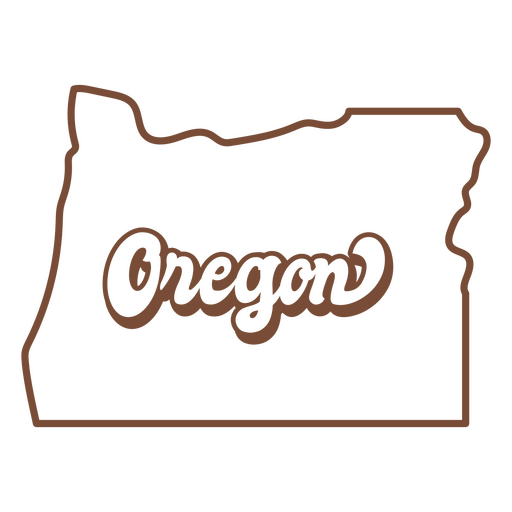
O mapa do estado de Oregon em marrom Desenho PNG
Escolha uma pasta
Todos os favoritos
Criar novo
Salvar
O mapa do estado de Oregon em marrom Desenho PNG
Premium
Mapa em estilo mandala em forma de Portugal Desenho PNG
Escolha uma pasta
Todos os favoritos
Criar novo
Salvar
Mapa em estilo mandala em forma de Portugal Desenho PNG
Uma silhueta do mapa da Irlanda Desenho PNG
Escolha uma pasta
Todos os favoritos
Criar novo
Salvar
Uma silhueta do mapa da Irlanda Desenho PNG
Uma silhueta do mapa de Luxemburgo Desenho PNG
Escolha uma pasta
Todos os favoritos
Criar novo
Salvar
Uma silhueta do mapa de Luxemburgo Desenho PNG
Estados duotônicos do Alabama Desenho PNG
Escolha uma pasta
Todos os favoritos
Criar novo
Salvar
Estados duotônicos do Alabama Desenho PNG
Mandala da silhueta do mapa da China cortada Desenho PNG
Escolha uma pasta
Todos os favoritos
Criar novo
Salvar
Mandala da silhueta do mapa da China cortada Desenho PNG
Premium
Fox com bandeira do Canadá plana Desenho PNG
Escolha uma pasta
Todos os favoritos
Criar novo
Salvar
Fox com bandeira do Canadá plana Desenho PNG
Ícone de seta da bússola Desenho PNG
Escolha uma pasta
Todos os favoritos
Criar novo
Salvar
Ícone de seta da bússola Desenho PNG
Premium
Mapa em estilo mandala em forma de Costa Rica Desenho PNG
Escolha uma pasta
Todos os favoritos
Criar novo
Salvar
Mapa em estilo mandala em forma de Costa Rica Desenho PNG
Uma silhueta do mapa da Áustria Desenho PNG
Escolha uma pasta
Todos os favoritos
Criar novo
Salvar
Uma silhueta do mapa da Áustria Desenho PNG
Estados duotônicos de Vermont Desenho PNG
Escolha uma pasta
Todos os favoritos
Criar novo
Salvar
Estados duotônicos de Vermont Desenho PNG
Mandala dos Estados Virgínia Desenho PNG
Escolha uma pasta
Todos os favoritos
Criar novo
Salvar
Mandala dos Estados Virgínia Desenho PNG
Estados da mandala de Washington Desenho PNG
Escolha uma pasta
Todos os favoritos
Criar novo
Salvar
Estados da mandala de Washington Desenho PNG
Estados da mandala de Oklahoma Desenho PNG
Escolha uma pasta
Todos os favoritos
Criar novo
Salvar
Estados da mandala de Oklahoma Desenho PNG
Mandala dos Estados idaho Desenho PNG
Escolha uma pasta
Todos os favoritos
Criar novo
Salvar
Mandala dos Estados idaho Desenho PNG
Mandala dos Estados de Connecticut Desenho PNG
Escolha uma pasta
Todos os favoritos
Criar novo
Salvar
Mandala dos Estados de Connecticut Desenho PNG
Mandala dos Estados de Nevada Desenho PNG
Escolha uma pasta
Todos os favoritos
Criar novo
Salvar
Mandala dos Estados de Nevada Desenho PNG
Mandala dos Estados oregon Desenho PNG
Escolha uma pasta
Todos os favoritos
Criar novo
Salvar
Mandala dos Estados oregon Desenho PNG
Elemento desenhado à mão do Planisphere Desenho PNG
Escolha uma pasta
Todos os favoritos
Criar novo
Salvar
Elemento desenhado à mão do Planisphere Desenho PNG
Ícone plano da seta da bússola Desenho PNG
Escolha uma pasta
Todos os favoritos
Criar novo
Salvar
Ícone plano da seta da bússola Desenho PNG
Ilustração de mapa antigo Desenho PNG
Escolha uma pasta
Todos os favoritos
Criar novo
Salvar
Ilustração de mapa antigo Desenho PNG
Estados duotônicos de Massachusetts Desenho PNG
Escolha uma pasta
Todos os favoritos
Criar novo
Salvar
Estados duotônicos de Massachusetts Desenho PNG
Estados duotônicos de Delaware Desenho PNG
Escolha uma pasta
Todos os favoritos
Criar novo
Salvar
Estados duotônicos de Delaware Desenho PNG
Estados duotônicos de Nebraska Desenho PNG
Escolha uma pasta
Todos os favoritos
Criar novo
Salvar
Estados duotônicos de Nebraska Desenho PNG
Estados duotônicos de Montana Desenho PNG
Escolha uma pasta
Todos os favoritos
Criar novo
Salvar
Estados duotônicos de Montana Desenho PNG
estados duotônicos de Iowa Desenho PNG
Escolha uma pasta
Todos os favoritos
Criar novo
Salvar
estados duotônicos de Iowa Desenho PNG
Estados duotônicos de Idaho Desenho PNG
Escolha uma pasta
Todos os favoritos
Criar novo
Salvar
Estados duotônicos de Idaho Desenho PNG
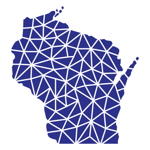
Estados geométricos de Wisconsin Desenho PNG
Escolha uma pasta
Todos os favoritos
Criar novo
Salvar
Estados geométricos de Wisconsin Desenho PNG
Estados geométricos de Massachusetts Desenho PNG
Escolha uma pasta
Todos os favoritos
Criar novo
Salvar
Estados geométricos de Massachusetts Desenho PNG
Estados da mandala de Utah Desenho PNG
Escolha uma pasta
Todos os favoritos
Criar novo
Salvar
Estados da mandala de Utah Desenho PNG
estados da mandala de Michigan Desenho PNG
Escolha uma pasta
Todos os favoritos
Criar novo
Salvar
estados da mandala de Michigan Desenho PNG
Estados da mandala do Maine Desenho PNG
Escolha uma pasta
Todos os favoritos
Criar novo
Salvar
Estados da mandala do Maine Desenho PNG
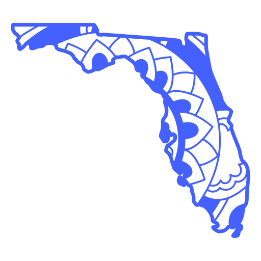
Mandala dos Estados da Flórida Desenho PNG
Escolha uma pasta
Todos os favoritos
Criar novo
Salvar
Mandala dos Estados da Flórida Desenho PNG
mandala dos estados ohio Desenho PNG
Escolha uma pasta
Todos os favoritos
Criar novo
Salvar
mandala dos estados ohio Desenho PNG
Ícone plano de pontos cardeais Desenho PNG
Escolha uma pasta
Todos os favoritos
Criar novo
Salvar
Ícone plano de pontos cardeais Desenho PNG
Premium
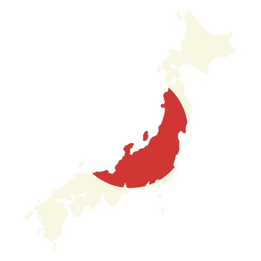
Mapa do Japão com bandeira vermelha Desenho PNG
Escolha uma pasta
Todos os favoritos
Criar novo
Salvar
Mapa do Japão com bandeira vermelha Desenho PNG
Premium
Mapa em estilo mandala em forma de Chile Desenho PNG
Escolha uma pasta
Todos os favoritos
Criar novo
Salvar
Mapa em estilo mandala em forma de Chile Desenho PNG
Uma silhueta do mapa de Portugal Desenho PNG
Escolha uma pasta
Todos os favoritos
Criar novo
Salvar
Uma silhueta do mapa de Portugal Desenho PNG
Uma silhueta do mapa do Panamá Desenho PNG
Escolha uma pasta
Todos os favoritos
Criar novo
Salvar
Uma silhueta do mapa do Panamá Desenho PNG
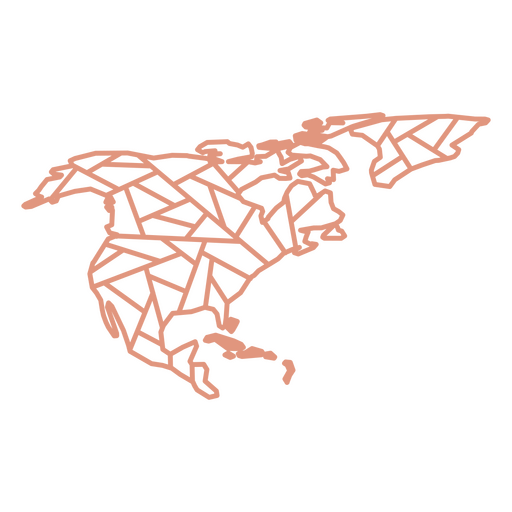
Mapa Geométrico da América do Norte Desenho PNG
Escolha uma pasta
Todos os favoritos
Criar novo
Salvar
Mapa Geométrico da América do Norte Desenho PNG
Estados duotônicos do Tennessee Desenho PNG
Escolha uma pasta
Todos os favoritos
Criar novo
Salvar
Estados duotônicos do Tennessee Desenho PNG
Estados duotone kansas Desenho PNG
Escolha uma pasta
Todos os favoritos
Criar novo
Salvar
Estados duotone kansas Desenho PNG
Estados duotônicos de Wisconsin Desenho PNG
Escolha uma pasta
Todos os favoritos
Criar novo
Salvar
Estados duotônicos de Wisconsin Desenho PNG
Inscreva-se
Para obter designs de uso comercial de alta qualidade para seus negócios
VER PLANOS
Próxima
do 14
prev page
next page