Biblioteca de design
Novos designs Merch
Camisetas
Vectores
Designs de Merch de Tendência
PNGs & SVGs
Mockups
Modelos de T-Shirt PSD
Explorar Desenhos
Designs KDP
Pôsteres
Canecas
Capas para celular
Sacos de compras
Almofadas
Ferramentas de desenho
Merch Designer
Novo!
Mockup Generator
Gerador de Design de AI
Vetorizador
Quote Generator
T-Shirt Maker (Antigo)
Ajuda
Merch Digest
Blog
Centro de Ajuda
Saiba mais sobre o Merch
Feedback
Soluções Corporativas
Empresa
Acesso à API
Estúdio de Design
Design em Lote
Preços
Carregando...
Inscrever-se
Conecte-se
PNG
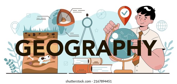
geografia
Biblioteca de design
Novos designs Merch
Camisetas
Vectores
Designs de Merch de Tendência
PNGs & SVGs
Mockups
Modelos de T-Shirt PSD
Explorar Desenhos
Designs KDP
Pôsteres
Canecas
Capas para celular
Sacos de compras
Almofadas
Ferramentas de desenho
Merch Designer
Novo!
Mockup Generator
Gerador de Design de AI
Vetorizador
Quote Generator
T-Shirt Maker (Antigo)
Ajuda
Merch Digest
Blog
Centro de Ajuda
Saiba mais sobre o Merch
Feedback
Soluções Corporativas
Empresa
Acesso à API
Estúdio de Design
Design em Lote
PLANOS
PNG
geografia
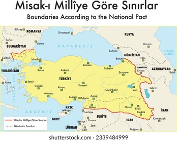
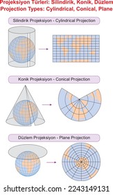
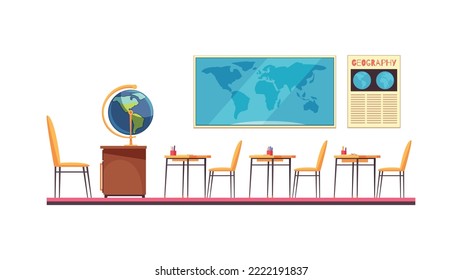
684 Vetores editáveis em PNG e SVG de geografia
Baixar Vetores PNG e SVG editáveis de geografia com fundo transparente.
Relacionado:
entusiastas da geografia
,
geografia urbana
,
geografia asiatica
Ordenar por
Mais relevante
Resultados patrocinados da
Ganhe 15% de desconto com o código: VEXELS15
veja mais detalhes
Estados duotone kansas Desenho PNG
Escolha uma pasta
Todos os favoritos
Criar novo
Salvar
Estados duotone kansas Desenho PNG
Estados duotônicos de Wisconsin Desenho PNG
Escolha uma pasta
Todos os favoritos
Criar novo
Salvar
Estados duotônicos de Wisconsin Desenho PNG
Estados duotônicos de Oklahoma Desenho PNG
Escolha uma pasta
Todos os favoritos
Criar novo
Salvar
Estados duotônicos de Oklahoma Desenho PNG
Estados duotônicos de Indiana Desenho PNG
Escolha uma pasta
Todos os favoritos
Criar novo
Salvar
Estados duotônicos de Indiana Desenho PNG
Estados duotônicos do Mississippi Desenho PNG
Escolha uma pasta
Todos os favoritos
Criar novo
Salvar
Estados duotônicos do Mississippi Desenho PNG
Estados geométricos do Missouri Desenho PNG
Escolha uma pasta
Todos os favoritos
Criar novo
Salvar
Estados geométricos do Missouri Desenho PNG
Mandala dos Estados New Hampshire Desenho PNG
Escolha uma pasta
Todos os favoritos
Criar novo
Salvar
Mandala dos Estados New Hampshire Desenho PNG
Curso de mandala de silhueta de mapa de Rússia Desenho PNG
Escolha uma pasta
Todos os favoritos
Criar novo
Salvar
Curso de mandala de silhueta de mapa de Rússia Desenho PNG
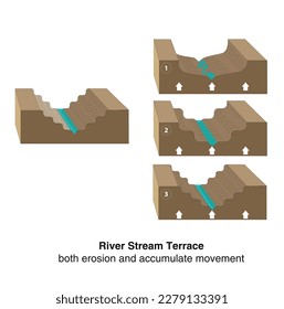
Escada escada degrau escada altura planeta Terra continente plano elevar Desenho PNG
Escolha uma pasta
Todos os favoritos
Criar novo
Salvar
Escada escada degrau escada altura planeta Terra continente plano elevar Desenho PNG
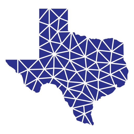
Estados geométricos do Texas Desenho PNG
Escolha uma pasta
Todos os favoritos
Criar novo
Salvar
Estados geométricos do Texas Desenho PNG
Estados geométricos da Virgínia Ocidental Desenho PNG
Escolha uma pasta
Todos os favoritos
Criar novo
Salvar
Estados geométricos da Virgínia Ocidental Desenho PNG
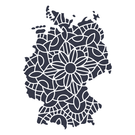
Mandala da silhueta do mapa da Alemanha cortada Desenho PNG
Escolha uma pasta
Todos os favoritos
Criar novo
Salvar
Mandala da silhueta do mapa da Alemanha cortada Desenho PNG
Escola de ícones lisos do globo escolar Desenho PNG
Escolha uma pasta
Todos os favoritos
Criar novo
Salvar
Escola de ícones lisos do globo escolar Desenho PNG
Premium
Flecha Windrose oeste nord sudeste plano Desenho PNG
Escolha uma pasta
Todos os favoritos
Criar novo
Salvar
Flecha Windrose oeste nord sudeste plano Desenho PNG
Premium
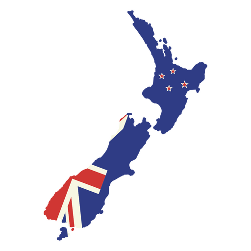
Mapa da Nova Zelândia com a bandeira britânica Desenho PNG
Escolha uma pasta
Todos os favoritos
Criar novo
Salvar
Mapa da Nova Zelândia com a bandeira britânica Desenho PNG
Uma silhueta do mapa do Peru Desenho PNG
Escolha uma pasta
Todos os favoritos
Criar novo
Salvar
Uma silhueta do mapa do Peru Desenho PNG
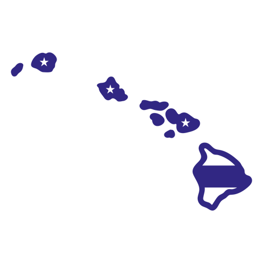
Estados duotônicos do Havaí Desenho PNG
Escolha uma pasta
Todos os favoritos
Criar novo
Salvar
Estados duotônicos do Havaí Desenho PNG
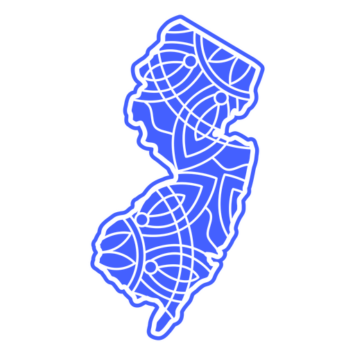
Estados geométricos de Nova Jersey Desenho PNG
Escolha uma pasta
Todos os favoritos
Criar novo
Salvar
Estados geométricos de Nova Jersey Desenho PNG
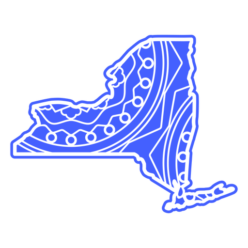
Estados da mandala de Nova York Desenho PNG
Escolha uma pasta
Todos os favoritos
Criar novo
Salvar
Estados da mandala de Nova York Desenho PNG
Mandala dos Estados Nova York Desenho PNG
Escolha uma pasta
Todos os favoritos
Criar novo
Salvar
Mandala dos Estados Nova York Desenho PNG
Estados da mandala de Nova Jersey Desenho PNG
Escolha uma pasta
Todos os favoritos
Criar novo
Salvar
Estados da mandala de Nova Jersey Desenho PNG
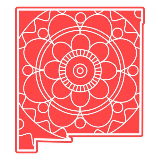
Estados da mandala do Novo México Desenho PNG
Escolha uma pasta
Todos os favoritos
Criar novo
Salvar
Estados da mandala do Novo México Desenho PNG
Mandala dos Estados Nova Jersey Desenho PNG
Escolha uma pasta
Todos os favoritos
Criar novo
Salvar
Mandala dos Estados Nova Jersey Desenho PNG
Premium
Selar com bandeira plana do Canadá Desenho PNG
Escolha uma pasta
Todos os favoritos
Criar novo
Salvar
Selar com bandeira plana do Canadá Desenho PNG
Premium
Windrose arrow sul nord leste oeste linha Desenho PNG
Escolha uma pasta
Todos os favoritos
Criar novo
Salvar
Windrose arrow sul nord leste oeste linha Desenho PNG
Premium
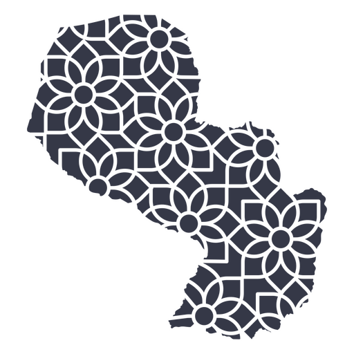
mapa mandala do paraguai Desenho PNG
Escolha uma pasta
Todos os favoritos
Criar novo
Salvar
mapa mandala do paraguai Desenho PNG
Premium
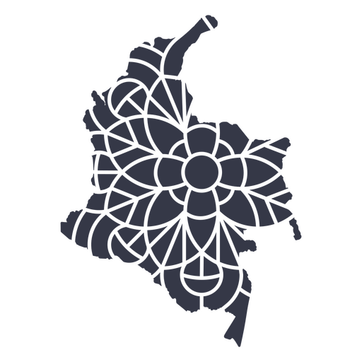
Mapa da mandala da Colômbia Desenho PNG
Escolha uma pasta
Todos os favoritos
Criar novo
Salvar
Mapa da mandala da Colômbia Desenho PNG
Premium
Mapa em estilo mandala em forma de Islândia Desenho PNG
Escolha uma pasta
Todos os favoritos
Criar novo
Salvar
Mapa em estilo mandala em forma de Islândia Desenho PNG
Premium
Mapa em estilo mandala em forma de Uruguai Desenho PNG
Escolha uma pasta
Todos os favoritos
Criar novo
Salvar
Mapa em estilo mandala em forma de Uruguai Desenho PNG
Uma silhueta do Mapa do Catar Desenho PNG
Escolha uma pasta
Todos os favoritos
Criar novo
Salvar
Uma silhueta do Mapa do Catar Desenho PNG
Uma silhueta do mapa do Uruguai Desenho PNG
Escolha uma pasta
Todos os favoritos
Criar novo
Salvar
Uma silhueta do mapa do Uruguai Desenho PNG
Uma silhueta do mapa da Bolívia Desenho PNG
Escolha uma pasta
Todos os favoritos
Criar novo
Salvar
Uma silhueta do mapa da Bolívia Desenho PNG
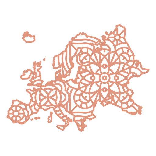
Mapa Geométrico da Europa Desenho PNG
Escolha uma pasta
Todos os favoritos
Criar novo
Salvar
Mapa Geométrico da Europa Desenho PNG
Premium
O mapa da África do Sul com a bandeira Desenho PNG
Escolha uma pasta
Todos os favoritos
Criar novo
Salvar
O mapa da África do Sul com a bandeira Desenho PNG
Premium
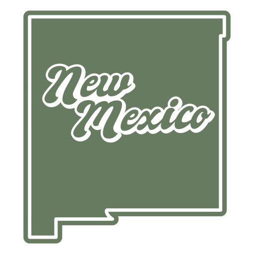
O estado do Novo México sobre um fundo verde Desenho PNG
Escolha uma pasta
Todos os favoritos
Criar novo
Salvar
O estado do Novo México sobre um fundo verde Desenho PNG
Premium
Ilustração estilizada de viagem de globo e avião Desenho PNG
Escolha uma pasta
Todos os favoritos
Criar novo
Salvar
Ilustração estilizada de viagem de globo e avião Desenho PNG
Premium
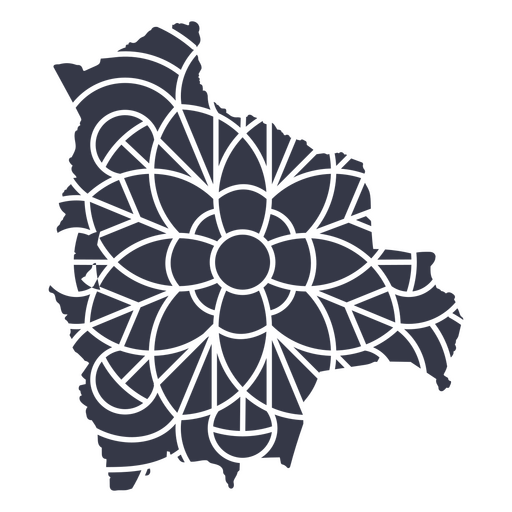
Mapa mandala da Bolívia Desenho PNG
Escolha uma pasta
Todos os favoritos
Criar novo
Salvar
Mapa mandala da Bolívia Desenho PNG
Premium
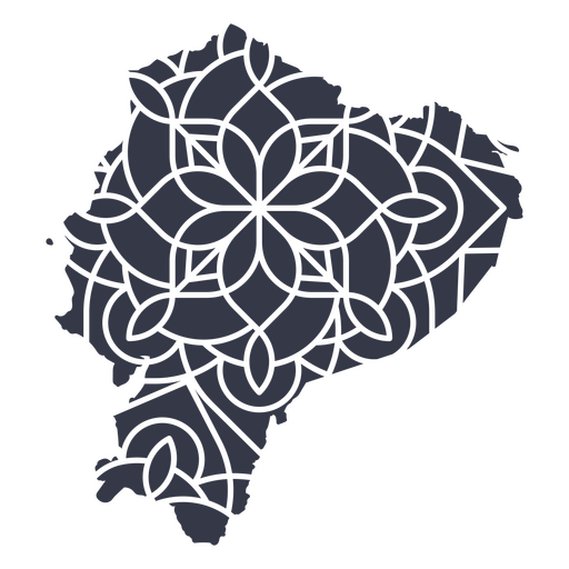
Mapa da mandala do Equador Desenho PNG
Escolha uma pasta
Todos os favoritos
Criar novo
Salvar
Mapa da mandala do Equador Desenho PNG
Premium
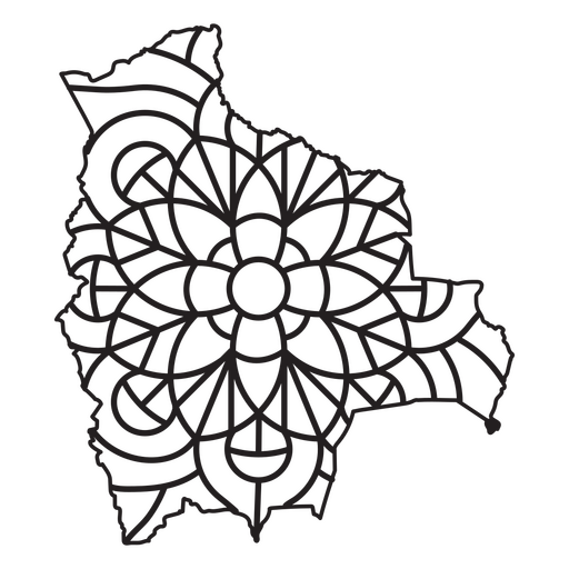
Mapa em estilo mandala em forma de Bolívia Desenho PNG
Escolha uma pasta
Todos os favoritos
Criar novo
Salvar
Mapa em estilo mandala em forma de Bolívia Desenho PNG
Uma silhueta do mapa da Arábia Saudita Desenho PNG
Escolha uma pasta
Todos os favoritos
Criar novo
Salvar
Uma silhueta do mapa da Arábia Saudita Desenho PNG
Premium
Windrose arrow nord leste oeste sul silhueta Desenho PNG
Escolha uma pasta
Todos os favoritos
Criar novo
Salvar
Windrose arrow nord leste oeste sul silhueta Desenho PNG
Premium
Windrose arrow west nord sudeste silhueta Desenho PNG
Escolha uma pasta
Todos os favoritos
Criar novo
Salvar
Windrose arrow west nord sudeste silhueta Desenho PNG
Premium
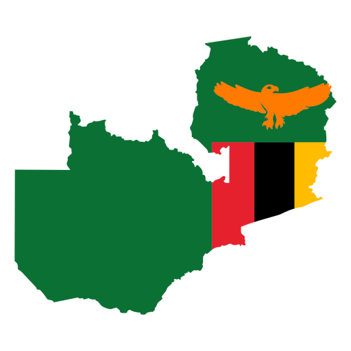
Mapa do Zimbábue com águia e bandeira Desenho PNG
Escolha uma pasta
Todos os favoritos
Criar novo
Salvar
Mapa do Zimbábue com águia e bandeira Desenho PNG
Estados duotônicos do Oregon Desenho PNG
Escolha uma pasta
Todos os favoritos
Criar novo
Salvar
Estados duotônicos do Oregon Desenho PNG
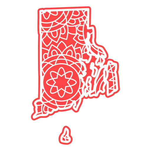
Estados da mandala de Rhode Island Desenho PNG
Escolha uma pasta
Todos os favoritos
Criar novo
Salvar
Estados da mandala de Rhode Island Desenho PNG
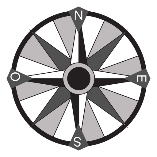
Bússola ícone plano de bússola Desenho PNG
Escolha uma pasta
Todos os favoritos
Criar novo
Salvar
Bússola ícone plano de bússola Desenho PNG
Mapa desenhado à mão Desenho PNG
Escolha uma pasta
Todos os favoritos
Criar novo
Salvar
Mapa desenhado à mão Desenho PNG
Globo escolar desenhado à mão Desenho PNG
Escolha uma pasta
Todos os favoritos
Criar novo
Salvar
Globo escolar desenhado à mão Desenho PNG
Premium
Escada escada degrau escada altura planeta Terra continente plano Desenho PNG
Escolha uma pasta
Todos os favoritos
Criar novo
Salvar
Escada escada degrau escada altura planeta Terra continente plano Desenho PNG
Premium
Mapa estilizado da Espanha com design de bandeira e brasão Desenho PNG
Escolha uma pasta
Todos os favoritos
Criar novo
Salvar
Mapa estilizado da Espanha com design de bandeira e brasão Desenho PNG
Inscreva-se
Para obter designs de uso comercial de alta qualidade para seus negócios
VER PLANOS
Próxima
do 14
prev page
next page