Biblioteca de design
Novos designs Merch
Camisetas
Vectores
Designs de Merch de Tendência
PNGs & SVGs
Mockups
Modelos de T-Shirt PSD
Explorar Desenhos
Designs KDP
Pôsteres
Canecas
Capas para celular
Sacos de compras
Almofadas
Ferramentas de desenho
Merch Designer
Novo!
Mockup Generator
Gerador de Design de AI
Vetorizador
Quote Generator
T-Shirt Maker (Antigo)
Ajuda
Merch Digest
Blog
Centro de Ajuda
Saiba mais sobre o Merch
Feedback
Soluções Corporativas
Empresa
Acesso à API
Estúdio de Design
Design em Lote
Preços
Carregando...
Inscrever-se
Conecte-se
PNG
geografia
Biblioteca de design
Novos designs Merch
Camisetas
Vectores
Designs de Merch de Tendência
PNGs & SVGs
Mockups
Modelos de T-Shirt PSD
Explorar Desenhos
Designs KDP
Pôsteres
Canecas
Capas para celular
Sacos de compras
Almofadas
Ferramentas de desenho
Merch Designer
Novo!
Mockup Generator
Gerador de Design de AI
Vetorizador
Quote Generator
T-Shirt Maker (Antigo)
Ajuda
Merch Digest
Blog
Centro de Ajuda
Saiba mais sobre o Merch
Feedback
Soluções Corporativas
Empresa
Acesso à API
Estúdio de Design
Design em Lote
PLANOS
PNG
geografia
684 Vetores editáveis em PNG e SVG de geografia
Baixar Vetores PNG e SVG editáveis de geografia com fundo transparente.
Relacionado:
entusiastas da geografia
,
geografia urbana
,
geografia asiatica
Ordenar por
Mais relevante
Resultados patrocinados da
Ganhe 15% de desconto com o código: VEXELS15
veja mais detalhes
Uma silhueta do mapa do Kuwait Desenho PNG
Escolha uma pasta
Todos os favoritos
Criar novo
Salvar
Uma silhueta do mapa do Kuwait Desenho PNG
Uma silhueta do mapa da Jordânia Desenho PNG
Escolha uma pasta
Todos os favoritos
Criar novo
Salvar
Uma silhueta do mapa da Jordânia Desenho PNG
Uma silhueta do mapa do Bahrein Desenho PNG
Escolha uma pasta
Todos os favoritos
Criar novo
Salvar
Uma silhueta do mapa do Bahrein Desenho PNG
Estados duotônicos de Nova York Desenho PNG
Escolha uma pasta
Todos os favoritos
Criar novo
Salvar
Estados duotônicos de Nova York Desenho PNG
Estados duotônicos do Maine Desenho PNG
Escolha uma pasta
Todos os favoritos
Criar novo
Salvar
Estados duotônicos do Maine Desenho PNG
Estados duotônicos da Pensilvânia Desenho PNG
Escolha uma pasta
Todos os favoritos
Criar novo
Salvar
Estados duotônicos da Pensilvânia Desenho PNG
Estados duotônicos do Missouri Desenho PNG
Escolha uma pasta
Todos os favoritos
Criar novo
Salvar
Estados duotônicos do Missouri Desenho PNG
Estados duotônicos do Colorado Desenho PNG
Escolha uma pasta
Todos os favoritos
Criar novo
Salvar
Estados duotônicos do Colorado Desenho PNG
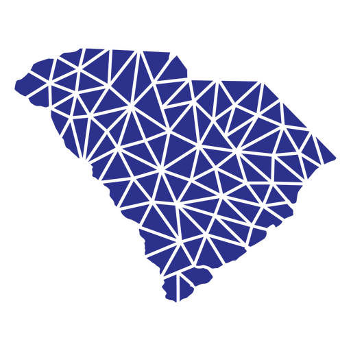
Estados geométricos da Carolina do Sul Desenho PNG
Escolha uma pasta
Todos os favoritos
Criar novo
Salvar
Estados geométricos da Carolina do Sul Desenho PNG
Náutico-Kawaii-Stroke - 3 Desenho PNG
Escolha uma pasta
Todos os favoritos
Criar novo
Salvar
Náutico-Kawaii-Stroke - 3 Desenho PNG
Premium
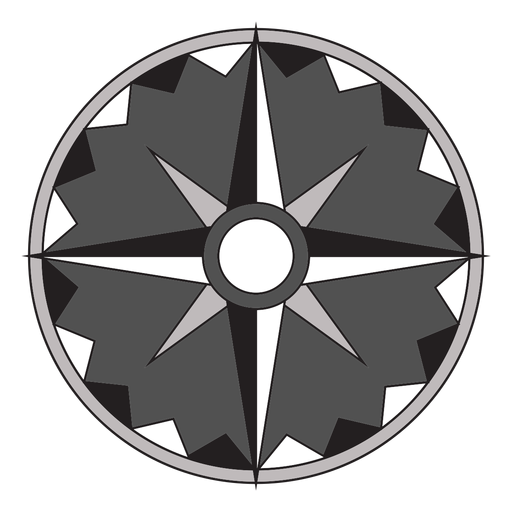
Flecha Windrose leste nord sudoeste apartamento Desenho PNG
Escolha uma pasta
Todos os favoritos
Criar novo
Salvar
Flecha Windrose leste nord sudoeste apartamento Desenho PNG
Premium
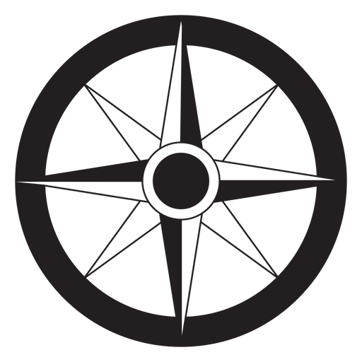
Windrose flecha leste nord oeste sul silhueta Desenho PNG
Escolha uma pasta
Todos os favoritos
Criar novo
Salvar
Windrose flecha leste nord oeste sul silhueta Desenho PNG
Premium
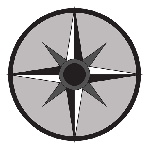
Windrose flecha leste sul nord oeste plana Desenho PNG
Escolha uma pasta
Todos os favoritos
Criar novo
Salvar
Windrose flecha leste sul nord oeste plana Desenho PNG
Premium
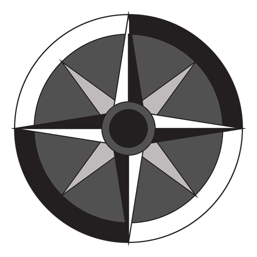
Flecha Windrose sul nord oeste leste plana Desenho PNG
Escolha uma pasta
Todos os favoritos
Criar novo
Salvar
Flecha Windrose sul nord oeste leste plana Desenho PNG
Premium
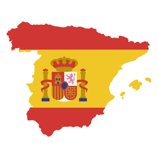
Mapa estilizado da Espanha com design de bandeira e brasão Desenho PNG
Escolha uma pasta
Todos os favoritos
Criar novo
Salvar
Mapa estilizado da Espanha com design de bandeira e brasão Desenho PNG
Premium
Globo rosa e branco Desenho PNG
Escolha uma pasta
Todos os favoritos
Criar novo
Salvar
Globo rosa e branco Desenho PNG
Premium
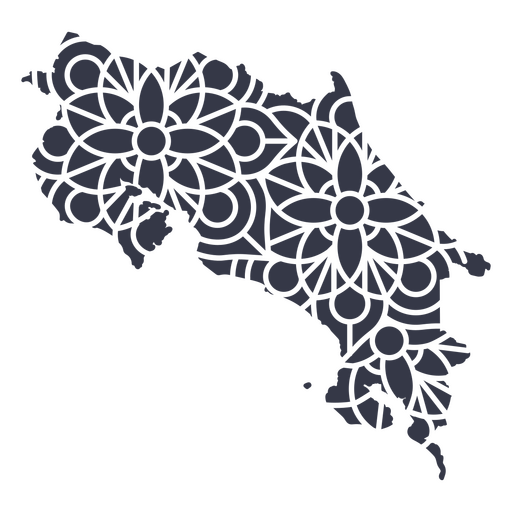
Mapa mandala da Costa Rica Desenho PNG
Escolha uma pasta
Todos os favoritos
Criar novo
Salvar
Mapa mandala da Costa Rica Desenho PNG
Premium
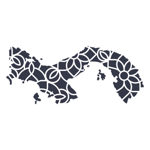
Mapa da mandala do Panamá Desenho PNG
Escolha uma pasta
Todos os favoritos
Criar novo
Salvar
Mapa da mandala do Panamá Desenho PNG
Premium
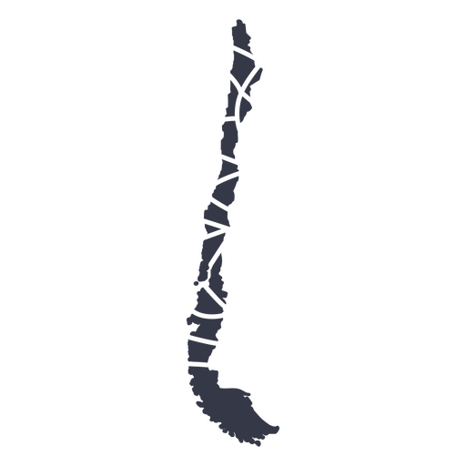
estilo mandala chileno Desenho PNG
Escolha uma pasta
Todos os favoritos
Criar novo
Salvar
estilo mandala chileno Desenho PNG
Premium
Mapa mandala de Porto Rico Desenho PNG
Escolha uma pasta
Todos os favoritos
Criar novo
Salvar
Mapa mandala de Porto Rico Desenho PNG
Premium
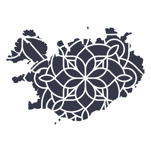
Mapa mandala da Islândia Desenho PNG
Escolha uma pasta
Todos os favoritos
Criar novo
Salvar
Mapa mandala da Islândia Desenho PNG
Premium
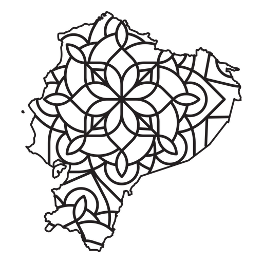
Mapa em estilo mandala em forma de Equador Desenho PNG
Escolha uma pasta
Todos os favoritos
Criar novo
Salvar
Mapa em estilo mandala em forma de Equador Desenho PNG
Premium
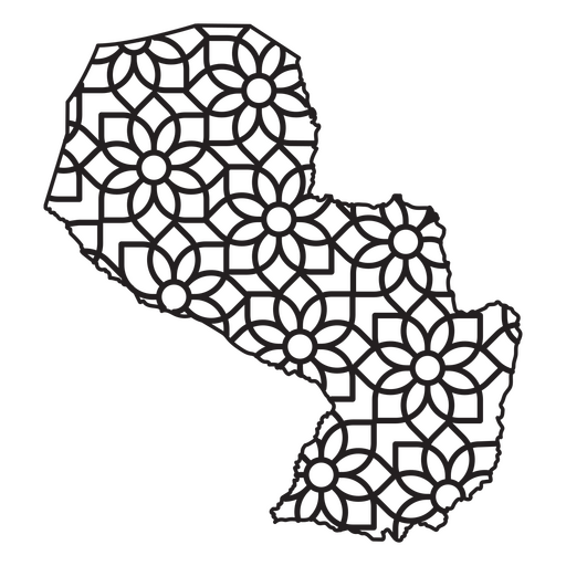
Mapa em estilo mandala em forma de Paraguai Desenho PNG
Escolha uma pasta
Todos os favoritos
Criar novo
Salvar
Mapa em estilo mandala em forma de Paraguai Desenho PNG
Uma silhueta do mapa de Singapura Desenho PNG
Escolha uma pasta
Todos os favoritos
Criar novo
Salvar
Uma silhueta do mapa de Singapura Desenho PNG
Uma silhueta do mapa da Malásia Desenho PNG
Escolha uma pasta
Todos os favoritos
Criar novo
Salvar
Uma silhueta do mapa da Malásia Desenho PNG
Uma silhueta do mapa do Paraguai Desenho PNG
Escolha uma pasta
Todos os favoritos
Criar novo
Salvar
Uma silhueta do mapa do Paraguai Desenho PNG
Estados duotônicos da Dakota do Sul Desenho PNG
Escolha uma pasta
Todos os favoritos
Criar novo
Salvar
Estados duotônicos da Dakota do Sul Desenho PNG
Estados duotônicos da Dakota do Norte Desenho PNG
Escolha uma pasta
Todos os favoritos
Criar novo
Salvar
Estados duotônicos da Dakota do Norte Desenho PNG
Ancião com caráter globo Desenho PNG
Escolha uma pasta
Todos os favoritos
Criar novo
Salvar
Ancião com caráter globo Desenho PNG
Premium
A aventura está aí, vá encontrá-la no mapa dos EUA Desenho PNG
Escolha uma pasta
Todos os favoritos
Criar novo
Salvar
A aventura está aí, vá encontrá-la no mapa dos EUA Desenho PNG
Premium
Mapa em estilo mandala em forma de Porto Rico Desenho PNG
Escolha uma pasta
Todos os favoritos
Criar novo
Salvar
Mapa em estilo mandala em forma de Porto Rico Desenho PNG
Premium
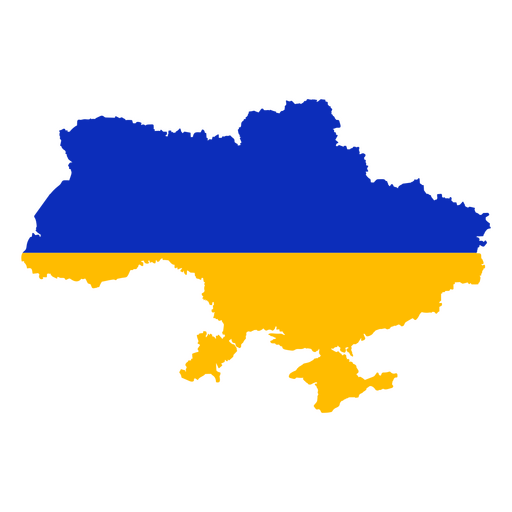
Design de mapa estilizado da Ucrânia em azul e amarelo Desenho PNG
Escolha uma pasta
Todos os favoritos
Criar novo
Salvar
Design de mapa estilizado da Ucrânia em azul e amarelo Desenho PNG
Estados duotônicos da Carolina do Norte Desenho PNG
Escolha uma pasta
Todos os favoritos
Criar novo
Salvar
Estados duotônicos da Carolina do Norte Desenho PNG
Estrutura do elemento desenhado à mão terra Desenho PNG
Escolha uma pasta
Todos os favoritos
Criar novo
Salvar
Estrutura do elemento desenhado à mão terra Desenho PNG
Premium
Mapa da Coreia do Sul com a bandeira Desenho PNG
Escolha uma pasta
Todos os favoritos
Criar novo
Salvar
Mapa da Coreia do Sul com a bandeira Desenho PNG
Premium
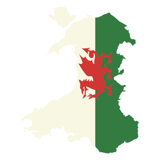
Design de mapa galês estilizado com emblema de dragão Desenho PNG
Escolha uma pasta
Todos os favoritos
Criar novo
Salvar
Design de mapa galês estilizado com emblema de dragão Desenho PNG
Premium
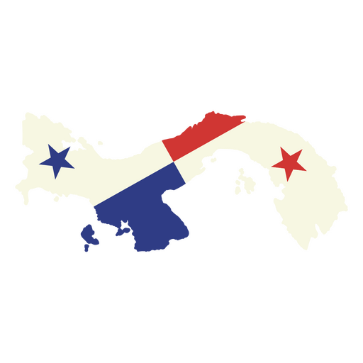
Design estilizado de mapa do Panamá Desenho PNG
Escolha uma pasta
Todos os favoritos
Criar novo
Salvar
Design estilizado de mapa do Panamá Desenho PNG
Premium
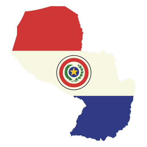
Design elegante do mapa da bandeira do Paraguai Desenho PNG
Escolha uma pasta
Todos os favoritos
Criar novo
Salvar
Design elegante do mapa da bandeira do Paraguai Desenho PNG
Premium
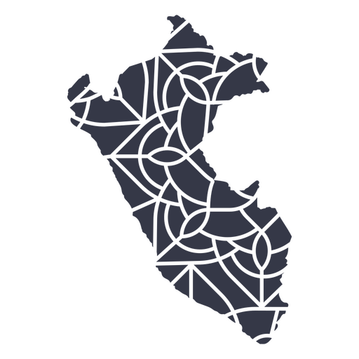
mapa mandala do peru Desenho PNG
Escolha uma pasta
Todos os favoritos
Criar novo
Salvar
mapa mandala do peru Desenho PNG
Premium
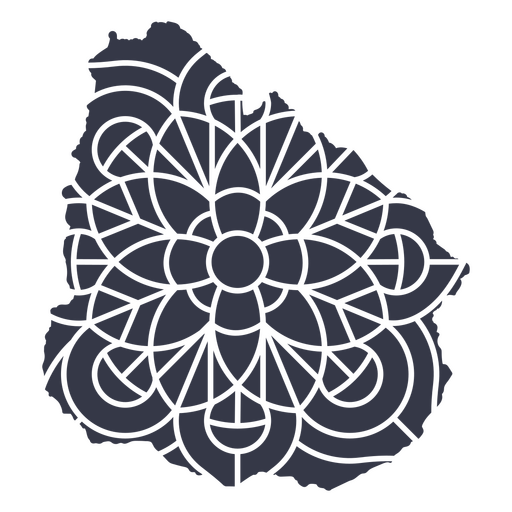
Mapa mandala do Uruguai Desenho PNG
Escolha uma pasta
Todos os favoritos
Criar novo
Salvar
Mapa mandala do Uruguai Desenho PNG
Premium
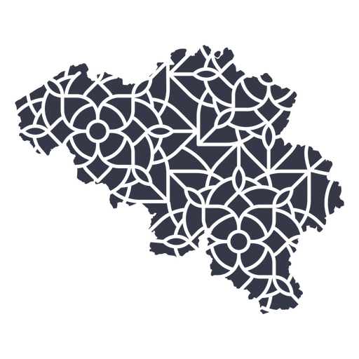
Mapa mandala da Bélgica Desenho PNG
Escolha uma pasta
Todos os favoritos
Criar novo
Salvar
Mapa mandala da Bélgica Desenho PNG
Premium
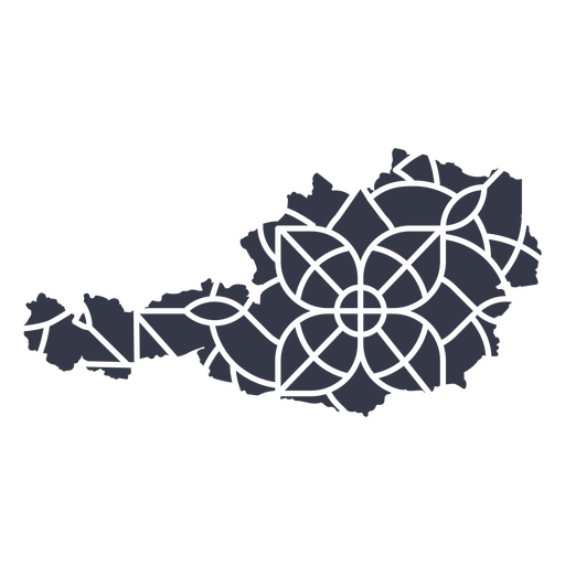
Mapa mandala da Áustria Desenho PNG
Escolha uma pasta
Todos os favoritos
Criar novo
Salvar
Mapa mandala da Áustria Desenho PNG
Premium
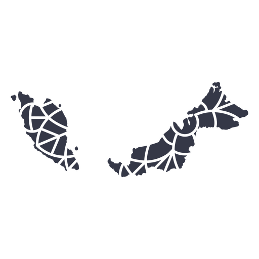
Mapa em estilo mandala em forma de Malásia Desenho PNG
Escolha uma pasta
Todos os favoritos
Criar novo
Salvar
Mapa em estilo mandala em forma de Malásia Desenho PNG
Premium
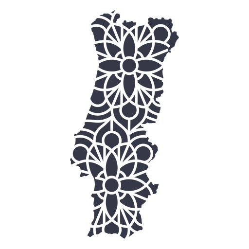
mapa mandala de portugal Desenho PNG
Escolha uma pasta
Todos os favoritos
Criar novo
Salvar
mapa mandala de portugal Desenho PNG
Premium
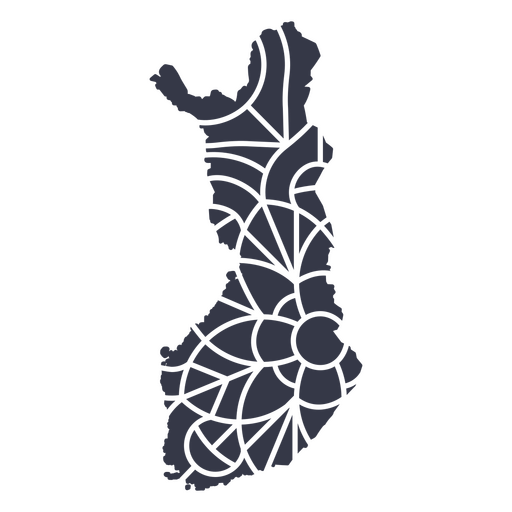
Mapa mandala da Finlândia Desenho PNG
Escolha uma pasta
Todos os favoritos
Criar novo
Salvar
Mapa mandala da Finlândia Desenho PNG
Premium
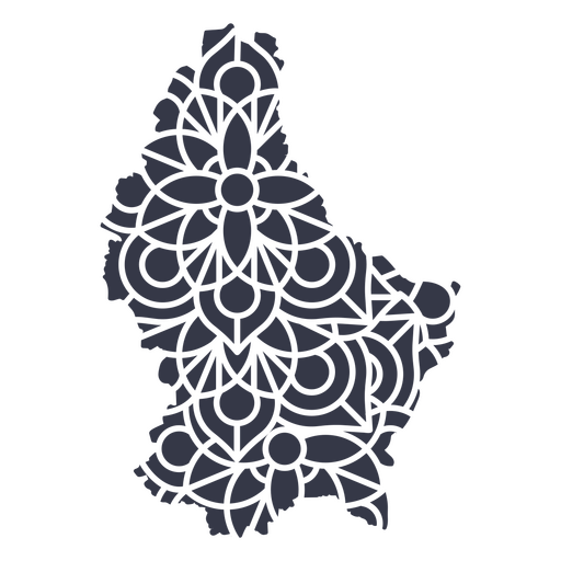
Mapa mandala de Luxemburgo Desenho PNG
Escolha uma pasta
Todos os favoritos
Criar novo
Salvar
Mapa mandala de Luxemburgo Desenho PNG
Premium
Mapa em estilo mandala em forma de Jordan Desenho PNG
Escolha uma pasta
Todos os favoritos
Criar novo
Salvar
Mapa em estilo mandala em forma de Jordan Desenho PNG
Premium
Mapa em estilo mandala em forma de Finlândia Desenho PNG
Escolha uma pasta
Todos os favoritos
Criar novo
Salvar
Mapa em estilo mandala em forma de Finlândia Desenho PNG
Premium
Mapa em estilo mandala em forma de Panamá Desenho PNG
Escolha uma pasta
Todos os favoritos
Criar novo
Salvar
Mapa em estilo mandala em forma de Panamá Desenho PNG
Premium
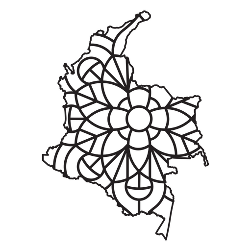
Mapa em estilo mandala em forma de Colômbia Desenho PNG
Escolha uma pasta
Todos os favoritos
Criar novo
Salvar
Mapa em estilo mandala em forma de Colômbia Desenho PNG
Inscreva-se
Para obter designs de uso comercial de alta qualidade para seus negócios
VER PLANOS
Próxima
do 14
prev page
next page