Biblioteca de design
Novos designs Merch
Camisetas
Vectores
Designs de Merch de Tendência
PNGs & SVGs
Mockups
Modelos de T-Shirt PSD
Explorar Desenhos
Designs KDP
Pôsteres
Canecas
Capas para celular
Sacos de compras
Almofadas
Ferramentas de desenho
Merch Designer
Novo!
Mockup Generator
Gerador de Design de AI
Vetorizador
Quote Generator
T-Shirt Maker (Antigo)
Ajuda
Merch Digest
Blog
Centro de Ajuda
Saiba mais sobre o Merch
Feedback
Soluções Corporativas
Empresa
Acesso à API
Estúdio de Design
Design em Lote
Preços
Carregando...
Inscrever-se
Conecte-se
PNG
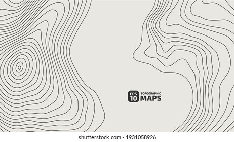
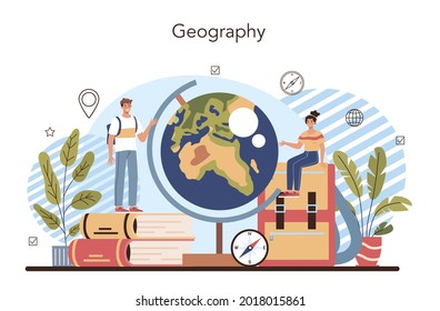
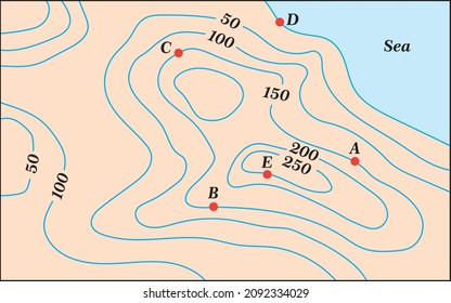
geografia
Biblioteca de design
Novos designs Merch
Camisetas
Vectores
Designs de Merch de Tendência
PNGs & SVGs
Mockups
Modelos de T-Shirt PSD
Explorar Desenhos
Designs KDP
Pôsteres
Canecas
Capas para celular
Sacos de compras
Almofadas
Ferramentas de desenho
Merch Designer
Novo!
Mockup Generator
Gerador de Design de AI
Vetorizador
Quote Generator
T-Shirt Maker (Antigo)
Ajuda
Merch Digest
Blog
Centro de Ajuda
Saiba mais sobre o Merch
Feedback
Soluções Corporativas
Empresa
Acesso à API
Estúdio de Design
Design em Lote
PLANOS
PNG
geografia
684 Vetores editáveis em PNG e SVG de geografia
Baixar Vetores PNG e SVG editáveis de geografia com fundo transparente.
Relacionado:
entusiastas da geografia
,
geografia urbana
,
geografia asiatica
Ordenar por
Mais relevante
Resultados patrocinados da
Ganhe 15% de desconto com o código: VEXELS15
veja mais detalhes
Premium
Mapa em estilo mandala em forma de Peru Desenho PNG
Escolha uma pasta
Todos os favoritos
Criar novo
Salvar
Mapa em estilo mandala em forma de Peru Desenho PNG
Premium
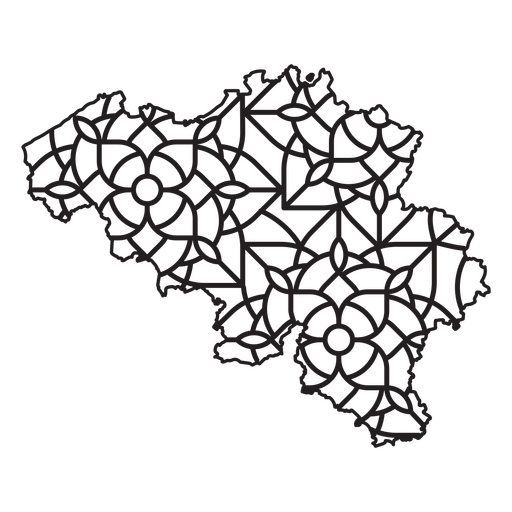
Mapa em estilo mandala em forma de Bélgica Desenho PNG
Escolha uma pasta
Todos os favoritos
Criar novo
Salvar
Mapa em estilo mandala em forma de Bélgica Desenho PNG
Premium
Mapa em estilo mandala em forma de Áustria Desenho PNG
Escolha uma pasta
Todos os favoritos
Criar novo
Salvar
Mapa em estilo mandala em forma de Áustria Desenho PNG
Premium
Mapa de mandala em forma da Malásia Desenho PNG
Escolha uma pasta
Todos os favoritos
Criar novo
Salvar
Mapa de mandala em forma da Malásia Desenho PNG
Premium
mapa em estilo mandala em forma de Luxemburgo Desenho PNG
Escolha uma pasta
Todos os favoritos
Criar novo
Salvar
mapa em estilo mandala em forma de Luxemburgo Desenho PNG
Premium
Mapa mandala da Islândia Desenho PNG
Escolha uma pasta
Todos os favoritos
Criar novo
Salvar
Mapa mandala da Islândia Desenho PNG
Uma silhueta do mapa da Finlândia Desenho PNG
Escolha uma pasta
Todos os favoritos
Criar novo
Salvar
Uma silhueta do mapa da Finlândia Desenho PNG
Premium
Mapa estilizado de silhueta preta da Grécia Desenho PNG
Escolha uma pasta
Todos os favoritos
Criar novo
Salvar
Mapa estilizado de silhueta preta da Grécia Desenho PNG
Estados duotônicos do Arkansas Desenho PNG
Escolha uma pasta
Todos os favoritos
Criar novo
Salvar
Estados duotônicos do Arkansas Desenho PNG
Estados geométricos do Oregon Desenho PNG
Escolha uma pasta
Todos os favoritos
Criar novo
Salvar
Estados geométricos do Oregon Desenho PNG
estados geométricos de Michigan Desenho PNG
Escolha uma pasta
Todos os favoritos
Criar novo
Salvar
estados geométricos de Michigan Desenho PNG
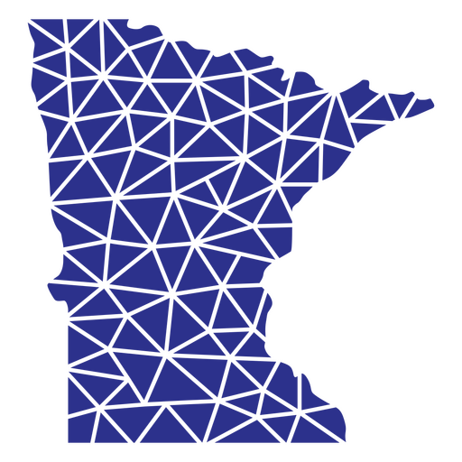
Estados geométricos de Minnesota Desenho PNG
Escolha uma pasta
Todos os favoritos
Criar novo
Salvar
Estados geométricos de Minnesota Desenho PNG
Estados geométricos de Washington Desenho PNG
Escolha uma pasta
Todos os favoritos
Criar novo
Salvar
Estados geométricos de Washington Desenho PNG
Estados da Virgínia Geométrica Desenho PNG
Escolha uma pasta
Todos os favoritos
Criar novo
Salvar
Estados da Virgínia Geométrica Desenho PNG
Estados geométricos de Vermont Desenho PNG
Escolha uma pasta
Todos os favoritos
Criar novo
Salvar
Estados geométricos de Vermont Desenho PNG
Estados geométricos do Tennessee Desenho PNG
Escolha uma pasta
Todos os favoritos
Criar novo
Salvar
Estados geométricos do Tennessee Desenho PNG
Estados geométricos de Rhode Island Desenho PNG
Escolha uma pasta
Todos os favoritos
Criar novo
Salvar
Estados geométricos de Rhode Island Desenho PNG
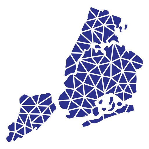
Estados geométricos de Nova York Desenho PNG
Escolha uma pasta
Todos os favoritos
Criar novo
Salvar
Estados geométricos de Nova York Desenho PNG
Estados geométricos de New Hampshire Desenho PNG
Escolha uma pasta
Todos os favoritos
Criar novo
Salvar
Estados geométricos de New Hampshire Desenho PNG
Estados geométricos de Montana Desenho PNG
Escolha uma pasta
Todos os favoritos
Criar novo
Salvar
Estados geométricos de Montana Desenho PNG
Estados geométricos do Colorado Desenho PNG
Escolha uma pasta
Todos os favoritos
Criar novo
Salvar
Estados geométricos do Colorado Desenho PNG
Estados geométricos de Utah Desenho PNG
Escolha uma pasta
Todos os favoritos
Criar novo
Salvar
Estados geométricos de Utah Desenho PNG
Estados geométricos da Dakota do Sul Desenho PNG
Escolha uma pasta
Todos os favoritos
Criar novo
Salvar
Estados geométricos da Dakota do Sul Desenho PNG
estados geométricos da Pensilvânia Desenho PNG
Escolha uma pasta
Todos os favoritos
Criar novo
Salvar
estados geométricos da Pensilvânia Desenho PNG
Mapa geométrico de Rhode Island Desenho PNG
Escolha uma pasta
Todos os favoritos
Criar novo
Salvar
Mapa geométrico de Rhode Island Desenho PNG
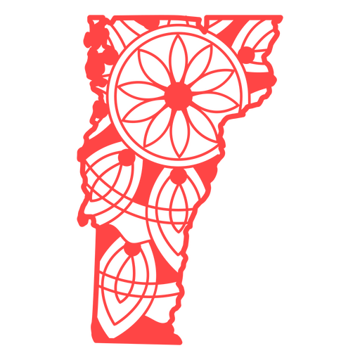
Estados da mandala de Vermont Desenho PNG
Escolha uma pasta
Todos os favoritos
Criar novo
Salvar
Estados da mandala de Vermont Desenho PNG
Estados da mandala da Virgínia Ocidental Desenho PNG
Escolha uma pasta
Todos os favoritos
Criar novo
Salvar
Estados da mandala da Virgínia Ocidental Desenho PNG
Estados da mandala de Wisconsin Desenho PNG
Escolha uma pasta
Todos os favoritos
Criar novo
Salvar
Estados da mandala de Wisconsin Desenho PNG
Mandala dos Estados Wyoming Desenho PNG
Escolha uma pasta
Todos os favoritos
Criar novo
Salvar
Mandala dos Estados Wyoming Desenho PNG
Estados da mandala de Montana Desenho PNG
Escolha uma pasta
Todos os favoritos
Criar novo
Salvar
Estados da mandala de Montana Desenho PNG
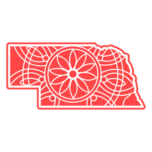
Estados da mandala de Nebraska Desenho PNG
Escolha uma pasta
Todos os favoritos
Criar novo
Salvar
Estados da mandala de Nebraska Desenho PNG
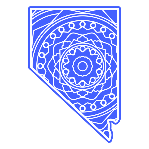
Estados da mandala de Nevada Desenho PNG
Escolha uma pasta
Todos os favoritos
Criar novo
Salvar
Estados da mandala de Nevada Desenho PNG
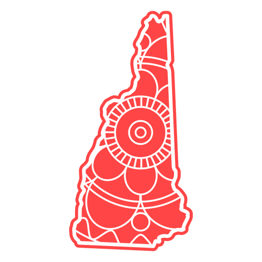
Estados da mandala de New Hampshire Desenho PNG
Escolha uma pasta
Todos os favoritos
Criar novo
Salvar
Estados da mandala de New Hampshire Desenho PNG
Estados da mandala da Dakota do Norte Desenho PNG
Escolha uma pasta
Todos os favoritos
Criar novo
Salvar
Estados da mandala da Dakota do Norte Desenho PNG
Estados da mandala do Oregon Desenho PNG
Escolha uma pasta
Todos os favoritos
Criar novo
Salvar
Estados da mandala do Oregon Desenho PNG
estados da mandala da Pensilvânia Desenho PNG
Escolha uma pasta
Todos os favoritos
Criar novo
Salvar
estados da mandala da Pensilvânia Desenho PNG
Mandala dos Estados Illinois Desenho PNG
Escolha uma pasta
Todos os favoritos
Criar novo
Salvar
Mandala dos Estados Illinois Desenho PNG
Estados da mandala do Alabama Desenho PNG
Escolha uma pasta
Todos os favoritos
Criar novo
Salvar
Estados da mandala do Alabama Desenho PNG
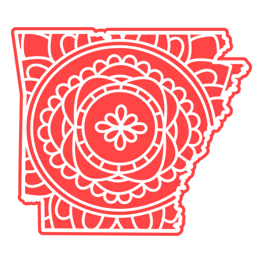
Estados da mandala do Arkansas Desenho PNG
Escolha uma pasta
Todos os favoritos
Criar novo
Salvar
Estados da mandala do Arkansas Desenho PNG
Estados da mandala do Wyoming Desenho PNG
Escolha uma pasta
Todos os favoritos
Criar novo
Salvar
Estados da mandala do Wyoming Desenho PNG
Estados da mandala de Delaware Desenho PNG
Escolha uma pasta
Todos os favoritos
Criar novo
Salvar
Estados da mandala de Delaware Desenho PNG
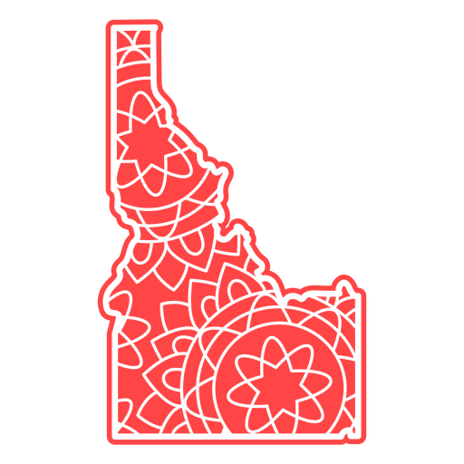
Estados da mandala de Idaho Desenho PNG
Escolha uma pasta
Todos os favoritos
Criar novo
Salvar
Estados da mandala de Idaho Desenho PNG
Estados da mandala de Indiana Desenho PNG
Escolha uma pasta
Todos os favoritos
Criar novo
Salvar
Estados da mandala de Indiana Desenho PNG
Mandala dos Estados kansas Desenho PNG
Escolha uma pasta
Todos os favoritos
Criar novo
Salvar
Mandala dos Estados kansas Desenho PNG
Estados da mandala do Mississippi Desenho PNG
Escolha uma pasta
Todos os favoritos
Criar novo
Salvar
Estados da mandala do Mississippi Desenho PNG
Estados da mandala de Connecticut Desenho PNG
Escolha uma pasta
Todos os favoritos
Criar novo
Salvar
Estados da mandala de Connecticut Desenho PNG
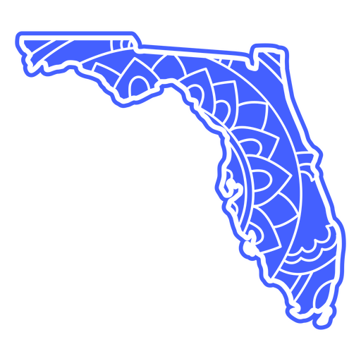
Estados da mandala da Flórida Desenho PNG
Escolha uma pasta
Todos os favoritos
Criar novo
Salvar
Estados da mandala da Flórida Desenho PNG
Estados da mandala de Illinois Desenho PNG
Escolha uma pasta
Todos os favoritos
Criar novo
Salvar
Estados da mandala de Illinois Desenho PNG
estados da mandala de Iowa Desenho PNG
Escolha uma pasta
Todos os favoritos
Criar novo
Salvar
estados da mandala de Iowa Desenho PNG
Estados da mandala de Kentucky Desenho PNG
Escolha uma pasta
Todos os favoritos
Criar novo
Salvar
Estados da mandala de Kentucky Desenho PNG
Inscreva-se
Para obter designs de uso comercial de alta qualidade para seus negócios
VER PLANOS
Próxima
do 14
prev page
next page