Biblioteca de design
Novos designs Merch
Camisetas
Vectores
Designs de Merch de Tendência
PNGs & SVGs
Mockups
Modelos de T-Shirt PSD
Explorar Desenhos
Designs KDP
Pôsteres
Canecas
Capas para celular
Sacos de compras
Almofadas
Ferramentas de desenho
Merch Designer
Novo!
Mockup Generator
Gerador de Design de AI
Vetorizador
Quote Generator
T-Shirt Maker (Antigo)
Ajuda
Merch Digest
Blog
Centro de Ajuda
Saiba mais sobre o Merch
Feedback
Soluções Corporativas
Empresa
Acesso à API
Estúdio de Design
Design em Lote
Preços
Carregando...
Inscrever-se
Conecte-se
PNG
geografia
Biblioteca de design
Novos designs Merch
Camisetas
Vectores
Designs de Merch de Tendência
PNGs & SVGs
Mockups
Modelos de T-Shirt PSD
Explorar Desenhos
Designs KDP
Pôsteres
Canecas
Capas para celular
Sacos de compras
Almofadas
Ferramentas de desenho
Merch Designer
Novo!
Mockup Generator
Gerador de Design de AI
Vetorizador
Quote Generator
T-Shirt Maker (Antigo)
Ajuda
Merch Digest
Blog
Centro de Ajuda
Saiba mais sobre o Merch
Feedback
Soluções Corporativas
Empresa
Acesso à API
Estúdio de Design
Design em Lote
PLANOS
PNG
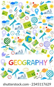
geografia
684 Vetores editáveis em PNG e SVG de geografia
Baixar Vetores PNG e SVG editáveis de geografia com fundo transparente.
Relacionado:
entusiastas da geografia
,
geografia urbana
,
geografia asiatica
Ordenar por
Mais relevante
Resultados patrocinados da
Ganhe 15% de desconto com o código: VEXELS15
veja mais detalhes
Premium
Alabama retrô recortado estados dos eua Desenho PNG
Escolha uma pasta
Todos os favoritos
Criar novo
Salvar
Alabama retrô recortado estados dos eua Desenho PNG
Premium
Alasca retrô recortado estados dos eua Desenho PNG
Escolha uma pasta
Todos os favoritos
Criar novo
Salvar
Alasca retrô recortado estados dos eua Desenho PNG
Premium
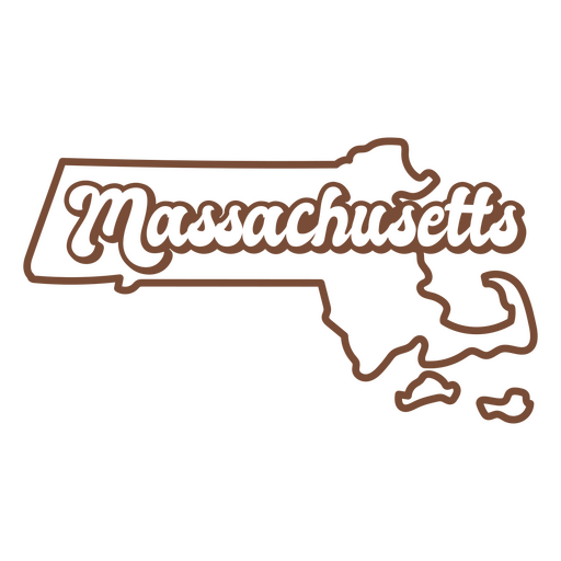
Massachusetts retrô acidente vascular cerebral estados dos eua Desenho PNG
Escolha uma pasta
Todos os favoritos
Criar novo
Salvar
Massachusetts retrô acidente vascular cerebral estados dos eua Desenho PNG
Premium
Michigan retrô acidente vascular cerebral estados dos eua Desenho PNG
Escolha uma pasta
Todos os favoritos
Criar novo
Salvar
Michigan retrô acidente vascular cerebral estados dos eua Desenho PNG
Premium
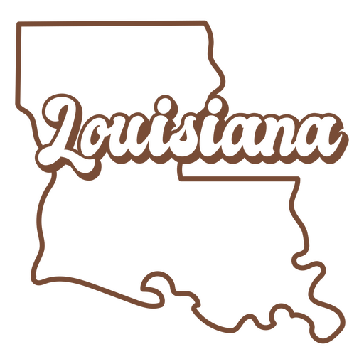
Louisiana retrô recortada estados dos eua Desenho PNG
Escolha uma pasta
Todos os favoritos
Criar novo
Salvar
Louisiana retrô recortada estados dos eua Desenho PNG
Premium
Havaí retrô recortado estados dos eua Desenho PNG
Escolha uma pasta
Todos os favoritos
Criar novo
Salvar
Havaí retrô recortado estados dos eua Desenho PNG
Premium
Kansas retrô por do sol estados eua Desenho PNG
Escolha uma pasta
Todos os favoritos
Criar novo
Salvar
Kansas retrô por do sol estados eua Desenho PNG
Estados de traçado de cor do Arizona Desenho PNG
Escolha uma pasta
Todos os favoritos
Criar novo
Salvar
Estados de traçado de cor do Arizona Desenho PNG
Premium
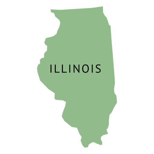
Mapa plano do estado illionois Desenho PNG
Escolha uma pasta
Todos os favoritos
Criar novo
Salvar
Mapa plano do estado illionois Desenho PNG
Premium
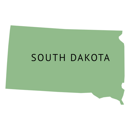
Mapa da planície do estado da Dakota do Sul Desenho PNG
Escolha uma pasta
Todos os favoritos
Criar novo
Salvar
Mapa da planície do estado da Dakota do Sul Desenho PNG
Premium
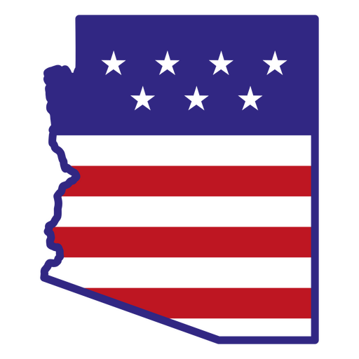
Estados Unidos recortados retrô do Arizona Desenho PNG
Escolha uma pasta
Todos os favoritos
Criar novo
Salvar
Estados Unidos recortados retrô do Arizona Desenho PNG
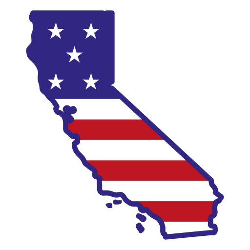
Estados de traçado de cor da Califórnia Desenho PNG
Escolha uma pasta
Todos os favoritos
Criar novo
Salvar
Estados de traçado de cor da Califórnia Desenho PNG
Premium
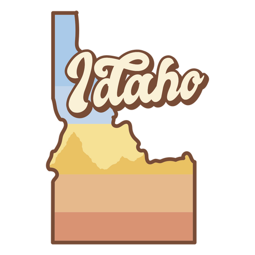
Idaho retro stroke estados dos eua Desenho PNG
Escolha uma pasta
Todos os favoritos
Criar novo
Salvar
Idaho retro stroke estados dos eua Desenho PNG
Premium
Indiana retrô recortado estados dos eua Desenho PNG
Escolha uma pasta
Todos os favoritos
Criar novo
Salvar
Indiana retrô recortado estados dos eua Desenho PNG
Premium
O mapa da Virgínia Ocidental com as palavras Virgínia Ocidental Desenho PNG
Escolha uma pasta
Todos os favoritos
Criar novo
Salvar
O mapa da Virgínia Ocidental com as palavras Virgínia Ocidental Desenho PNG
Curso de mandala de silhueta de mapa de Alemanha Desenho PNG
Escolha uma pasta
Todos os favoritos
Criar novo
Salvar
Curso de mandala de silhueta de mapa de Alemanha Desenho PNG
Globo terrestre ilustração globo Desenho PNG
Escolha uma pasta
Todos os favoritos
Criar novo
Salvar
Globo terrestre ilustração globo Desenho PNG
Estados de traçado de cor de Nova Jersey Desenho PNG
Escolha uma pasta
Todos os favoritos
Criar novo
Salvar
Estados de traçado de cor de Nova Jersey Desenho PNG
Premium
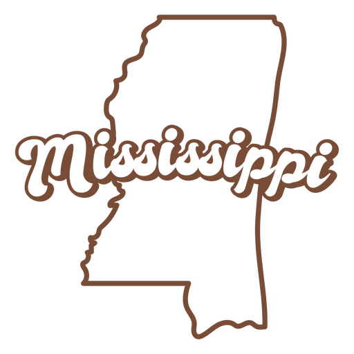
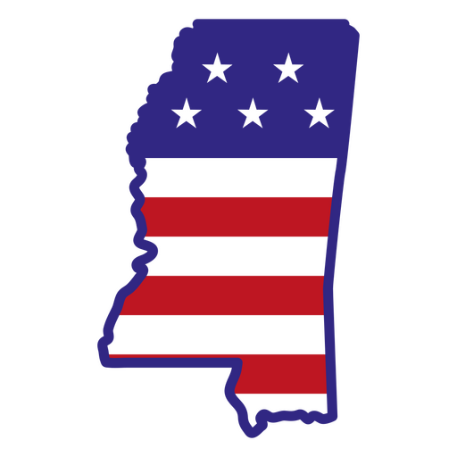
Mississippi retrô derrame estados dos eua Desenho PNG
Escolha uma pasta
Todos os favoritos
Criar novo
Salvar
Mississippi retrô derrame estados dos eua Desenho PNG
Premium
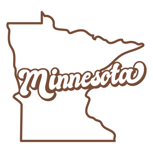
Minnesota retrô acidente vascular cerebral estados dos eua Desenho PNG
Escolha uma pasta
Todos os favoritos
Criar novo
Salvar
Minnesota retrô acidente vascular cerebral estados dos eua Desenho PNG
Premium
O estado de idaho é mostrado Desenho PNG
Escolha uma pasta
Todos os favoritos
Criar novo
Salvar
O estado de idaho é mostrado Desenho PNG
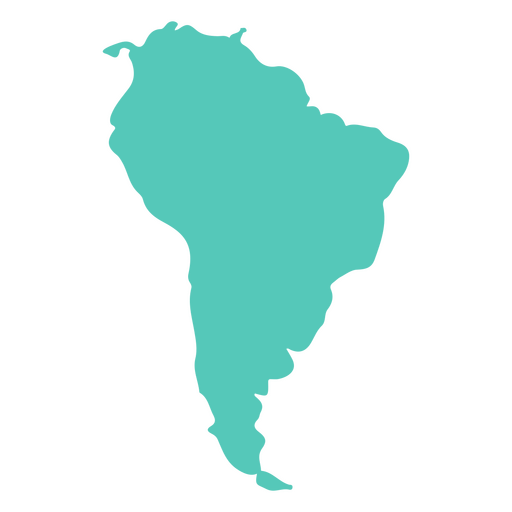
Silhueta do mapa sul-americano Desenho PNG
Escolha uma pasta
Todos os favoritos
Criar novo
Salvar
Silhueta do mapa sul-americano Desenho PNG
Premium
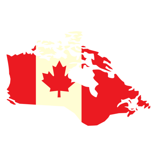
País geográfico com bandeira do Canadá plana Desenho PNG
Escolha uma pasta
Todos os favoritos
Criar novo
Salvar
País geográfico com bandeira do Canadá plana Desenho PNG
Bandeira dos EUA no mapa do país Desenho PNG
Escolha uma pasta
Todos os favoritos
Criar novo
Salvar
Bandeira dos EUA no mapa do país Desenho PNG
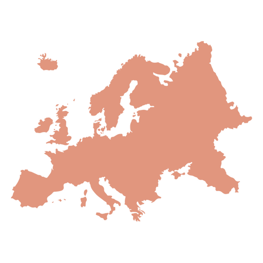
Silhueta do mapa do continente europeu Desenho PNG
Escolha uma pasta
Todos os favoritos
Criar novo
Salvar
Silhueta do mapa do continente europeu Desenho PNG
Estados do traço de cor do Maine Desenho PNG
Escolha uma pasta
Todos os favoritos
Criar novo
Salvar
Estados do traço de cor do Maine Desenho PNG
Silhueta do mapa do continente australiano Desenho PNG
Escolha uma pasta
Todos os favoritos
Criar novo
Salvar
Silhueta do mapa do continente australiano Desenho PNG
Estados de traçado de cor Indiana Desenho PNG
Escolha uma pasta
Todos os favoritos
Criar novo
Salvar
Estados de traçado de cor Indiana Desenho PNG
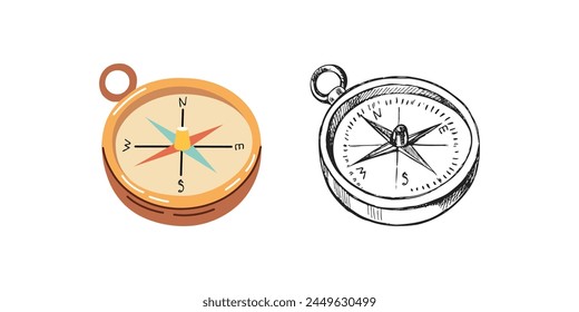
Silhueta realista detalhada da bússola náutica - 8 Desenho PNG
Escolha uma pasta
Todos os favoritos
Criar novo
Salvar
Silhueta realista detalhada da bússola náutica - 8 Desenho PNG
Estados de traçado de cores de Iowa Desenho PNG
Escolha uma pasta
Todos os favoritos
Criar novo
Salvar
Estados de traçado de cores de Iowa Desenho PNG
Premium
O estado de Nova York é mostrado em marrom Desenho PNG
Escolha uma pasta
Todos os favoritos
Criar novo
Salvar
O estado de Nova York é mostrado em marrom Desenho PNG
Premium
Louisiana retrô acidente vascular cerebral estados dos eua Desenho PNG
Escolha uma pasta
Todos os favoritos
Criar novo
Salvar
Louisiana retrô acidente vascular cerebral estados dos eua Desenho PNG
Premium
Maryland retrô recortado estados dos eua Desenho PNG
Escolha uma pasta
Todos os favoritos
Criar novo
Salvar
Maryland retrô recortado estados dos eua Desenho PNG
Mapa da Mandala da África Desenho PNG
Escolha uma pasta
Todos os favoritos
Criar novo
Salvar
Mapa da Mandala da África Desenho PNG
Premium
Missouri retrô recortado estados eua Desenho PNG
Escolha uma pasta
Todos os favoritos
Criar novo
Salvar
Missouri retrô recortado estados eua Desenho PNG
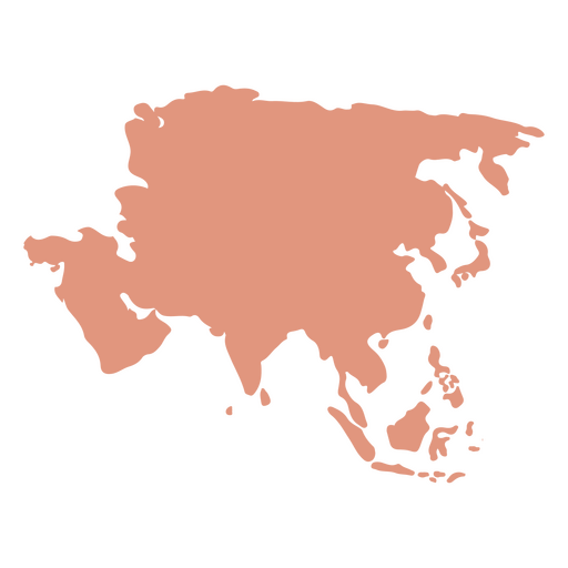
Silhueta do mapa do continente asiático Desenho PNG
Escolha uma pasta
Todos os favoritos
Criar novo
Salvar
Silhueta do mapa do continente asiático Desenho PNG
Estados de traçado de cores da Pensilvânia Desenho PNG
Escolha uma pasta
Todos os favoritos
Criar novo
Salvar
Estados de traçado de cores da Pensilvânia Desenho PNG
Premium
Connecticut retrô recortado estados dos eua Desenho PNG
Escolha uma pasta
Todos os favoritos
Criar novo
Salvar
Connecticut retrô recortado estados dos eua Desenho PNG
Premium
Delaware retro cut out estados dos eua Desenho PNG
Escolha uma pasta
Todos os favoritos
Criar novo
Salvar
Delaware retro cut out estados dos eua Desenho PNG
Premium
Mapa do estado de Washington com a palavra Washington nele Desenho PNG
Escolha uma pasta
Todos os favoritos
Criar novo
Salvar
Mapa do estado de Washington com a palavra Washington nele Desenho PNG
Traço colorido do ícone do globo terrestre Desenho PNG
Escolha uma pasta
Todos os favoritos
Criar novo
Salvar
Traço colorido do ícone do globo terrestre Desenho PNG
Premium
Arkansas retrô recortado estados dos eua Desenho PNG
Escolha uma pasta
Todos os favoritos
Criar novo
Salvar
Arkansas retrô recortado estados dos eua Desenho PNG
Premium
O estado de Wyoming com a palavra Wyoming nele Desenho PNG
Escolha uma pasta
Todos os favoritos
Criar novo
Salvar
O estado de Wyoming com a palavra Wyoming nele Desenho PNG
Premium
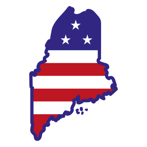
Maine retrô acidente vascular cerebral estados dos eua Desenho PNG
Escolha uma pasta
Todos os favoritos
Criar novo
Salvar
Maine retrô acidente vascular cerebral estados dos eua Desenho PNG
Premium
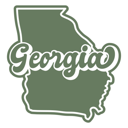
Pôr do sol retrô da Geórgia cortado nos estados dos eua Desenho PNG
Escolha uma pasta
Todos os favoritos
Criar novo
Salvar
Pôr do sol retrô da Geórgia cortado nos estados dos eua Desenho PNG
Estados de traçado de cores do Mississippi Desenho PNG
Escolha uma pasta
Todos os favoritos
Criar novo
Salvar
Estados de traçado de cores do Mississippi Desenho PNG
Estados de traçado de cores de Michigan Desenho PNG
Escolha uma pasta
Todos os favoritos
Criar novo
Salvar
Estados de traçado de cores de Michigan Desenho PNG
Estados de traçado de cores de Maryland Desenho PNG
Escolha uma pasta
Todos os favoritos
Criar novo
Salvar
Estados de traçado de cores de Maryland Desenho PNG
Curso de mandala de silhueta de mapa do México Desenho PNG
Escolha uma pasta
Todos os favoritos
Criar novo
Salvar
Curso de mandala de silhueta de mapa do México Desenho PNG
Premium
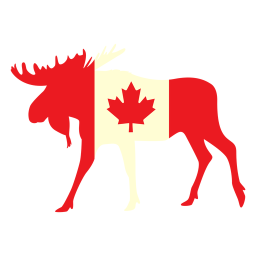
Alce com bandeira do Canadá plana Desenho PNG
Escolha uma pasta
Todos os favoritos
Criar novo
Salvar
Alce com bandeira do Canadá plana Desenho PNG
Inscreva-se
Para obter designs de uso comercial de alta qualidade para seus negócios
VER PLANOS
Próxima
do 14
prev page
next page