Biblioteca de design
Novos designs Merch
Camisetas
Vectores
Designs de Merch de Tendência
PNGs & SVGs
Mockups
Modelos de T-Shirt PSD
Explorar Desenhos
Designs KDP
Pôsteres
Canecas
Capas para celular
Sacos de compras
Almofadas
Ferramentas de desenho
Merch Designer
Novo!
Mockup Generator
Gerador de Design de AI
Vetorizador
Quote Generator
T-Shirt Maker (Antigo)
Ajuda
Merch Digest
Blog
Centro de Ajuda
Saiba mais sobre o Merch
Feedback
Soluções Corporativas
Empresa
Acesso à API
Estúdio de Design
Design em Lote
Preços
Carregando...
Inscrever-se
Conecte-se
PNG
geografia
Biblioteca de design
Novos designs Merch
Camisetas
Vectores
Designs de Merch de Tendência
PNGs & SVGs
Mockups
Modelos de T-Shirt PSD
Explorar Desenhos
Designs KDP
Pôsteres
Canecas
Capas para celular
Sacos de compras
Almofadas
Ferramentas de desenho
Merch Designer
Novo!
Mockup Generator
Gerador de Design de AI
Vetorizador
Quote Generator
T-Shirt Maker (Antigo)
Ajuda
Merch Digest
Blog
Centro de Ajuda
Saiba mais sobre o Merch
Feedback
Soluções Corporativas
Empresa
Acesso à API
Estúdio de Design
Design em Lote
PLANOS
PNG
geografia
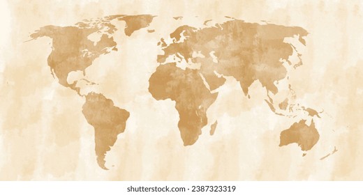
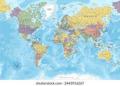
684 Vetores editáveis em PNG e SVG de geografia
Baixar Vetores PNG e SVG editáveis de geografia com fundo transparente.
Relacionado:
entusiastas da geografia
,
geografia urbana
,
geografia asiatica
Ordenar por
Mais relevante
Resultados patrocinados da
Ganhe 15% de desconto com o código: VEXELS15
veja mais detalhes
Estados de traçado de cor do Alabama Desenho PNG
Escolha uma pasta
Todos os favoritos
Criar novo
Salvar
Estados de traçado de cor do Alabama Desenho PNG
Estados de traçado de cores de Wyoming Desenho PNG
Escolha uma pasta
Todos os favoritos
Criar novo
Salvar
Estados de traçado de cores de Wyoming Desenho PNG
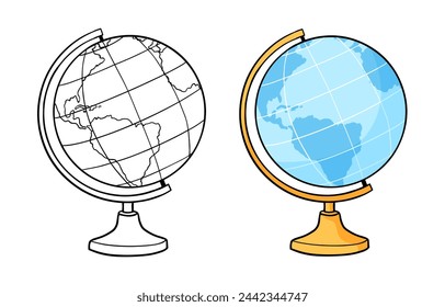
Ícone de traçado do globo Desenho PNG
Escolha uma pasta
Todos os favoritos
Criar novo
Salvar
Ícone de traçado do globo Desenho PNG
Mapa de AVC da Europa Desenho PNG
Escolha uma pasta
Todos os favoritos
Criar novo
Salvar
Mapa de AVC da Europa Desenho PNG
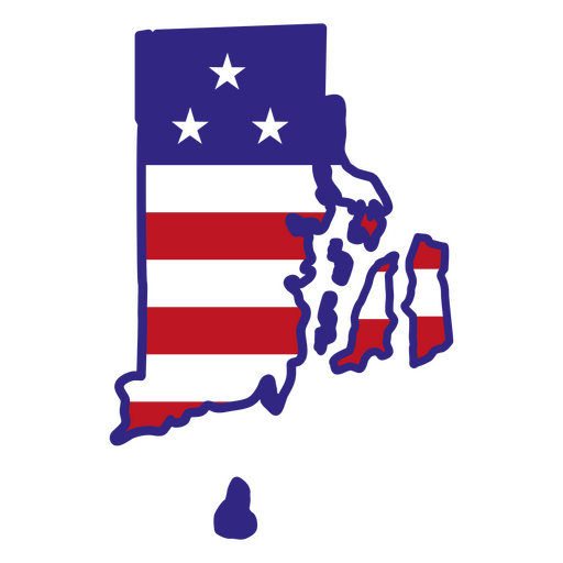
Estados de traçado de cor de Rhode Island Desenho PNG
Escolha uma pasta
Todos os favoritos
Criar novo
Salvar
Estados de traçado de cor de Rhode Island Desenho PNG
Estados de traçado de cores de Kentucky Desenho PNG
Escolha uma pasta
Todos os favoritos
Criar novo
Salvar
Estados de traçado de cores de Kentucky Desenho PNG
Premium
Massachusetts retrô recortado estados eua Desenho PNG
Escolha uma pasta
Todos os favoritos
Criar novo
Salvar
Massachusetts retrô recortado estados eua Desenho PNG
Premium
Colorado retrô recortado estados dos eua Desenho PNG
Escolha uma pasta
Todos os favoritos
Criar novo
Salvar
Colorado retrô recortado estados dos eua Desenho PNG
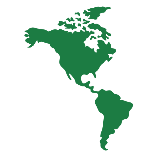
Silhueta do mapa da América Desenho PNG
Escolha uma pasta
Todos os favoritos
Criar novo
Salvar
Silhueta do mapa da América Desenho PNG
Premium
Kansas retrô recortado estados eua Desenho PNG
Escolha uma pasta
Todos os favoritos
Criar novo
Salvar
Kansas retrô recortado estados eua Desenho PNG
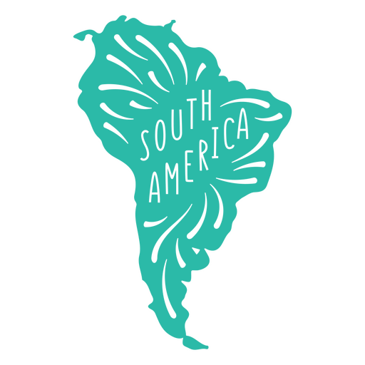
Mapa do continente da América do Sul Desenho PNG
Escolha uma pasta
Todos os favoritos
Criar novo
Salvar
Mapa do continente da América do Sul Desenho PNG
Premium
Pôr do sol retrô de Idaho cortado nos estados dos eua Desenho PNG
Escolha uma pasta
Todos os favoritos
Criar novo
Salvar
Pôr do sol retrô de Idaho cortado nos estados dos eua Desenho PNG
Premium
Delaware retrô acidente vascular cerebral estados dos eua Desenho PNG
Escolha uma pasta
Todos os favoritos
Criar novo
Salvar
Delaware retrô acidente vascular cerebral estados dos eua Desenho PNG
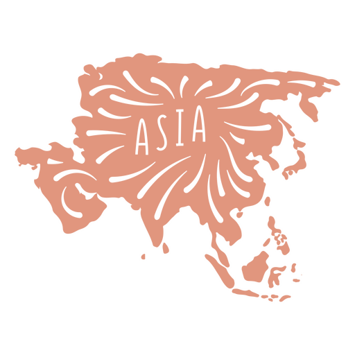
Mapa do continente asiático Desenho PNG
Escolha uma pasta
Todos os favoritos
Criar novo
Salvar
Mapa do continente asiático Desenho PNG
Estados de traçado de cor de Ohio Desenho PNG
Escolha uma pasta
Todos os favoritos
Criar novo
Salvar
Estados de traçado de cor de Ohio Desenho PNG
Estados de traçado de cor do Novo México Desenho PNG
Escolha uma pasta
Todos os favoritos
Criar novo
Salvar
Estados de traçado de cor do Novo México Desenho PNG
Estados de traçado de cor de Idaho Desenho PNG
Escolha uma pasta
Todos os favoritos
Criar novo
Salvar
Estados de traçado de cor de Idaho Desenho PNG
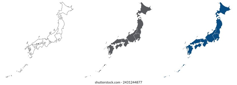
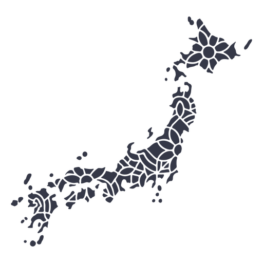
Mandala da silhueta do mapa do Japão cortada Desenho PNG
Escolha uma pasta
Todos os favoritos
Criar novo
Salvar
Mandala da silhueta do mapa do Japão cortada Desenho PNG
de volta às aulas mão desenhar elementos - 18 Desenho PNG
Escolha uma pasta
Todos os favoritos
Criar novo
Salvar
de volta às aulas mão desenhar elementos - 18 Desenho PNG
Premium
Bear com a bandeira do Canadá plana Desenho PNG
Escolha uma pasta
Todos os favoritos
Criar novo
Salvar
Bear com a bandeira do Canadá plana Desenho PNG
Estados de traçado de cor da Carolina do Sul Desenho PNG
Escolha uma pasta
Todos os favoritos
Criar novo
Salvar
Estados de traçado de cor da Carolina do Sul Desenho PNG
Estados de traçado de cores de Massachusetts Desenho PNG
Escolha uma pasta
Todos os favoritos
Criar novo
Salvar
Estados de traçado de cores de Massachusetts Desenho PNG
Premium
Mapa em estilo mandala em forma de El Salvador Desenho PNG
Escolha uma pasta
Todos os favoritos
Criar novo
Salvar
Mapa em estilo mandala em forma de El Salvador Desenho PNG
Desenho colorido da direção da seta da bússola Desenho PNG
Escolha uma pasta
Todos os favoritos
Criar novo
Salvar
Desenho colorido da direção da seta da bússola Desenho PNG
Estados de traçado de cores de Minnesota Desenho PNG
Escolha uma pasta
Todos os favoritos
Criar novo
Salvar
Estados de traçado de cores de Minnesota Desenho PNG
Mandala da silhueta do mapa da Austrália cortada Desenho PNG
Escolha uma pasta
Todos os favoritos
Criar novo
Salvar
Mandala da silhueta do mapa da Austrália cortada Desenho PNG
Silhueta realista detalhada da bússola náutica - 0 Desenho PNG
Escolha uma pasta
Todos os favoritos
Criar novo
Salvar
Silhueta realista detalhada da bússola náutica - 0 Desenho PNG
Silhueta realista detalhada da bússola náutica - 2 Desenho PNG
Escolha uma pasta
Todos os favoritos
Criar novo
Salvar
Silhueta realista detalhada da bússola náutica - 2 Desenho PNG
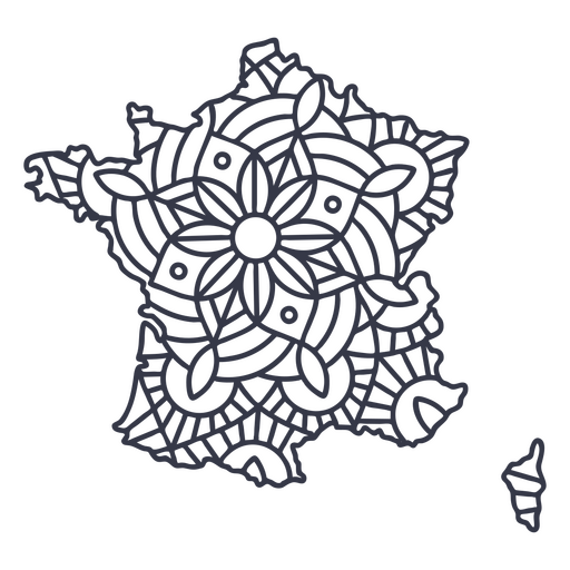
Curso de mandala de silhueta de mapa de França Desenho PNG
Escolha uma pasta
Todos os favoritos
Criar novo
Salvar
Curso de mandala de silhueta de mapa de França Desenho PNG
Premium
Paisagem de Toronto com bandeira plana do Canadá Desenho PNG
Escolha uma pasta
Todos os favoritos
Criar novo
Salvar
Paisagem de Toronto com bandeira plana do Canadá Desenho PNG
Premium
Colorado retrô acidente vascular cerebral estados dos eua Desenho PNG
Escolha uma pasta
Todos os favoritos
Criar novo
Salvar
Colorado retrô acidente vascular cerebral estados dos eua Desenho PNG
Estados de traçado de cores de Wisconsin Desenho PNG
Escolha uma pasta
Todos os favoritos
Criar novo
Salvar
Estados de traçado de cores de Wisconsin Desenho PNG
Estados de traçado de cores de New Hampshire Desenho PNG
Escolha uma pasta
Todos os favoritos
Criar novo
Salvar
Estados de traçado de cores de New Hampshire Desenho PNG
Premium
Windrose arrow nord leste sul oeste linha Desenho PNG
Escolha uma pasta
Todos os favoritos
Criar novo
Salvar
Windrose arrow nord leste sul oeste linha Desenho PNG
Uma silhueta do mapa de Porto Rico Desenho PNG
Escolha uma pasta
Todos os favoritos
Criar novo
Salvar
Uma silhueta do mapa de Porto Rico Desenho PNG
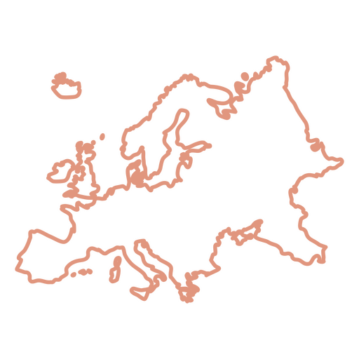
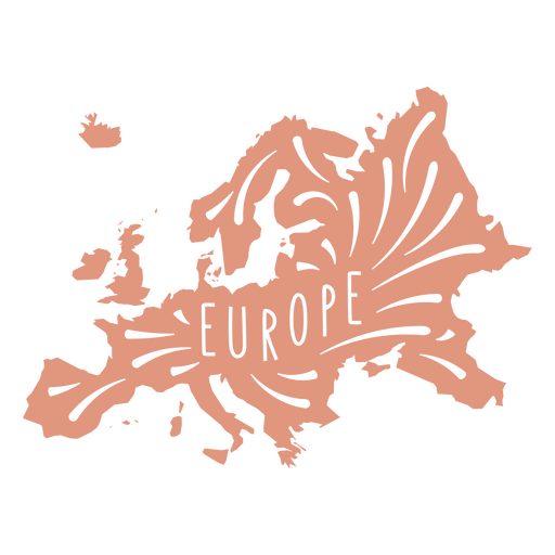
Mapa do continente europeu Desenho PNG
Escolha uma pasta
Todos os favoritos
Criar novo
Salvar
Mapa do continente europeu Desenho PNG
Estados duotônicos do Texas Desenho PNG
Escolha uma pasta
Todos os favoritos
Criar novo
Salvar
Estados duotônicos do Texas Desenho PNG
Estados de traçado de cor de Montana Desenho PNG
Escolha uma pasta
Todos os favoritos
Criar novo
Salvar
Estados de traçado de cor de Montana Desenho PNG
Estados de traçado de cor do Colorado Desenho PNG
Escolha uma pasta
Todos os favoritos
Criar novo
Salvar
Estados de traçado de cor do Colorado Desenho PNG
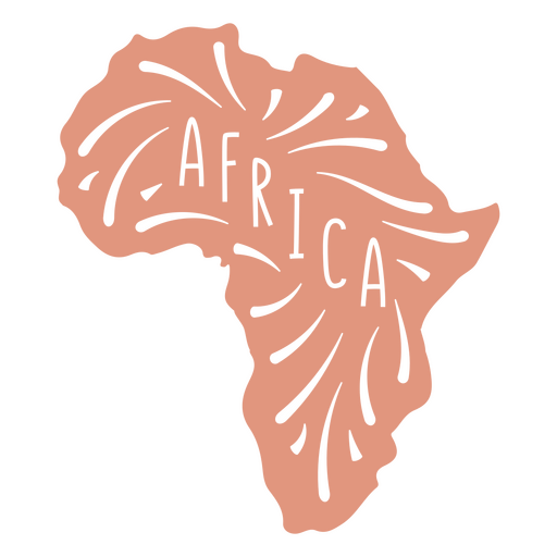
Mapa do Continente Africano Desenho PNG
Escolha uma pasta
Todos os favoritos
Criar novo
Salvar
Mapa do Continente Africano Desenho PNG
Estados Unidos traço de cor da Virgínia Desenho PNG
Escolha uma pasta
Todos os favoritos
Criar novo
Salvar
Estados Unidos traço de cor da Virgínia Desenho PNG
Estados de traço de cor kansas Desenho PNG
Escolha uma pasta
Todos os favoritos
Criar novo
Salvar
Estados de traço de cor kansas Desenho PNG
Estados de traçado de cor do Tennessee Desenho PNG
Escolha uma pasta
Todos os favoritos
Criar novo
Salvar
Estados de traçado de cor do Tennessee Desenho PNG
Estados de traçado de cor de Delaware Desenho PNG
Escolha uma pasta
Todos os favoritos
Criar novo
Salvar
Estados de traçado de cor de Delaware Desenho PNG
Mandala da silhueta do mapa do México cortada Desenho PNG
Escolha uma pasta
Todos os favoritos
Criar novo
Salvar
Mandala da silhueta do mapa do México cortada Desenho PNG
Curso de mandala de silhueta de mapa da Suíça Desenho PNG
Escolha uma pasta
Todos os favoritos
Criar novo
Salvar
Curso de mandala de silhueta de mapa da Suíça Desenho PNG
Silhueta realista detalhada da bússola náutica - 1 Desenho PNG
Escolha uma pasta
Todos os favoritos
Criar novo
Salvar
Silhueta realista detalhada da bússola náutica - 1 Desenho PNG
Uma silhueta do mapa da Itália Desenho PNG
Escolha uma pasta
Todos os favoritos
Criar novo
Salvar
Uma silhueta do mapa da Itália Desenho PNG
Estados duotônicos da Virgínia Ocidental Desenho PNG
Escolha uma pasta
Todos os favoritos
Criar novo
Salvar
Estados duotônicos da Virgínia Ocidental Desenho PNG
Estados de traçado de cores do Arkansas Desenho PNG
Escolha uma pasta
Todos os favoritos
Criar novo
Salvar
Estados de traçado de cores do Arkansas Desenho PNG
Inscreva-se
Para obter designs de uso comercial de alta qualidade para seus negócios
VER PLANOS
Próxima
do 14
prev page
next page