Biblioteca de design
Novos designs Merch
Camisetas
Vectores
Designs de Merch de Tendência
PNGs & SVGs
Mockups
Modelos de T-Shirt PSD
Explorar Desenhos
Designs KDP
Pôsteres
Canecas
Capas para celular
Sacos de compras
Almofadas
Ferramentas de desenho
Merch Designer
Novo!
Mockup Generator
Gerador de Design de AI
Vetorizador
Quote Generator
T-Shirt Maker (Antigo)
Ajuda
Merch Digest
Blog
Centro de Ajuda
Saiba mais sobre o Merch
Feedback
Soluções Corporativas
Empresa
Acesso à API
Estúdio de Design
Design em Lote
Preços
Carregando...
Inscrever-se
Conecte-se
PNG
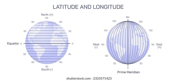
geografia
Biblioteca de design
Novos designs Merch
Camisetas
Vectores
Designs de Merch de Tendência
PNGs & SVGs
Mockups
Modelos de T-Shirt PSD
Explorar Desenhos
Designs KDP
Pôsteres
Canecas
Capas para celular
Sacos de compras
Almofadas
Ferramentas de desenho
Merch Designer
Novo!
Mockup Generator
Gerador de Design de AI
Vetorizador
Quote Generator
T-Shirt Maker (Antigo)
Ajuda
Merch Digest
Blog
Centro de Ajuda
Saiba mais sobre o Merch
Feedback
Soluções Corporativas
Empresa
Acesso à API
Estúdio de Design
Design em Lote
PLANOS
PNG
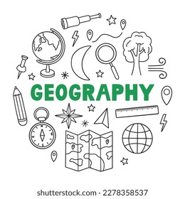
geografia
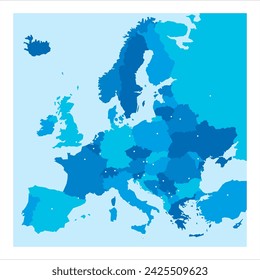
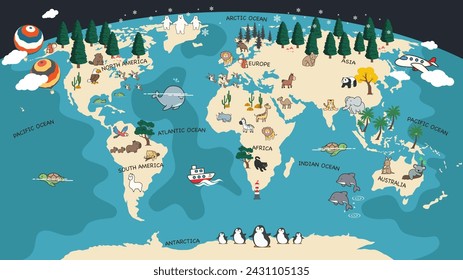
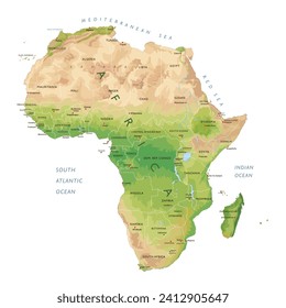
684 Vetores editáveis em PNG e SVG de geografia
Baixar Vetores PNG e SVG editáveis de geografia com fundo transparente.
Relacionado:
entusiastas da geografia
,
geografia urbana
,
geografia asiatica
Ordenar por
Mais relevante
Resultados patrocinados da
Ganhe 15% de desconto com o código: VEXELS15
veja mais detalhes
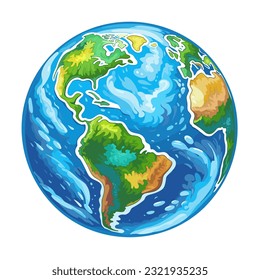
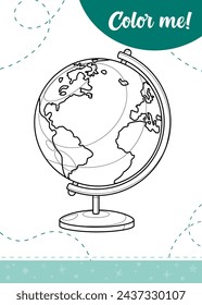
Doodle de globo Desenho PNG
Escolha uma pasta
Todos os favoritos
Criar novo
Salvar
Doodle de globo Desenho PNG
Premium
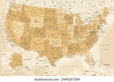
Mapa do estado da Virgínia em estilo retrô Desenho PNG
Escolha uma pasta
Todos os favoritos
Criar novo
Salvar
Mapa do estado da Virgínia em estilo retrô Desenho PNG
Premium
AVC retrô de Iowa estados dos EUA Desenho PNG
Escolha uma pasta
Todos os favoritos
Criar novo
Salvar
AVC retrô de Iowa estados dos EUA Desenho PNG
Estados de traçado de cores de Washington Desenho PNG
Escolha uma pasta
Todos os favoritos
Criar novo
Salvar
Estados de traçado de cores de Washington Desenho PNG
Premium
AVC retrô do Kansas estados eua Desenho PNG
Escolha uma pasta
Todos os favoritos
Criar novo
Salvar
AVC retrô do Kansas estados eua Desenho PNG
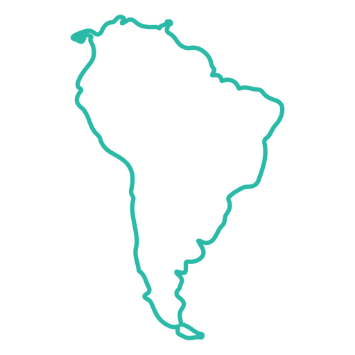
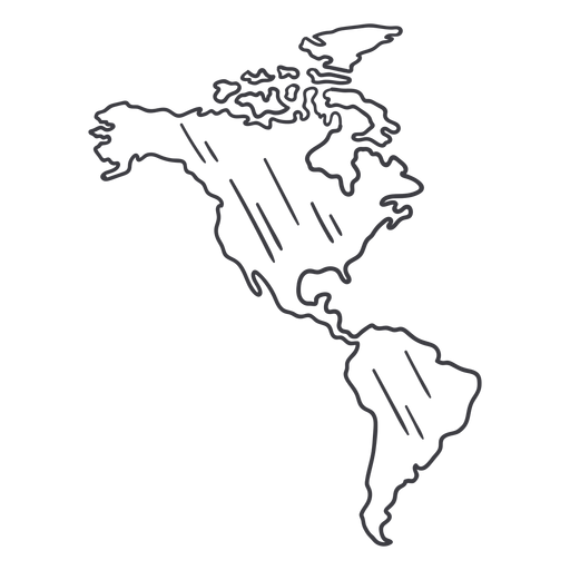
Mapa de curso do continente da América do Sul Desenho PNG
Escolha uma pasta
Todos os favoritos
Criar novo
Salvar
Mapa de curso do continente da América do Sul Desenho PNG
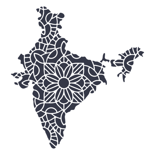
Mandala da silhueta do mapa da Índia cortada Desenho PNG
Escolha uma pasta
Todos os favoritos
Criar novo
Salvar
Mandala da silhueta do mapa da Índia cortada Desenho PNG
Estados de traçado de cor de Nevada Desenho PNG
Escolha uma pasta
Todos os favoritos
Criar novo
Salvar
Estados de traçado de cor de Nevada Desenho PNG
Estados de traçado de cor da Geórgia Desenho PNG
Escolha uma pasta
Todos os favoritos
Criar novo
Salvar
Estados de traçado de cor da Geórgia Desenho PNG
Uma silhueta do mapa da Nova Zelândia Desenho PNG
Escolha uma pasta
Todos os favoritos
Criar novo
Salvar
Uma silhueta do mapa da Nova Zelândia Desenho PNG
Premium
Maryland retrô acidente vascular cerebral estados dos eua Desenho PNG
Escolha uma pasta
Todos os favoritos
Criar novo
Salvar
Maryland retrô acidente vascular cerebral estados dos eua Desenho PNG
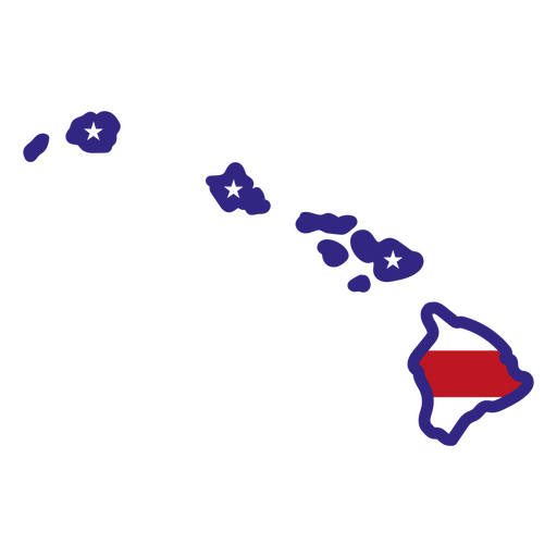
Estados de traçado de cor do Havaí Desenho PNG
Escolha uma pasta
Todos os favoritos
Criar novo
Salvar
Estados de traçado de cor do Havaí Desenho PNG
Decalques de parede-Vinil-CR - 4 Desenho PNG
Escolha uma pasta
Todos os favoritos
Criar novo
Salvar
Decalques de parede-Vinil-CR - 4 Desenho PNG
Estados de traçado de cor de Vermont Desenho PNG
Escolha uma pasta
Todos os favoritos
Criar novo
Salvar
Estados de traçado de cor de Vermont Desenho PNG
Estados de traçado de cores de Connecticut Desenho PNG
Escolha uma pasta
Todos os favoritos
Criar novo
Salvar
Estados de traçado de cores de Connecticut Desenho PNG
Estados da mandala do Texas Desenho PNG
Escolha uma pasta
Todos os favoritos
Criar novo
Salvar
Estados da mandala do Texas Desenho PNG
Estados de traçado de cores de Utah Desenho PNG
Escolha uma pasta
Todos os favoritos
Criar novo
Salvar
Estados de traçado de cores de Utah Desenho PNG
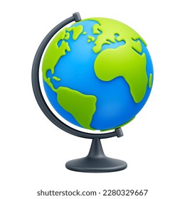
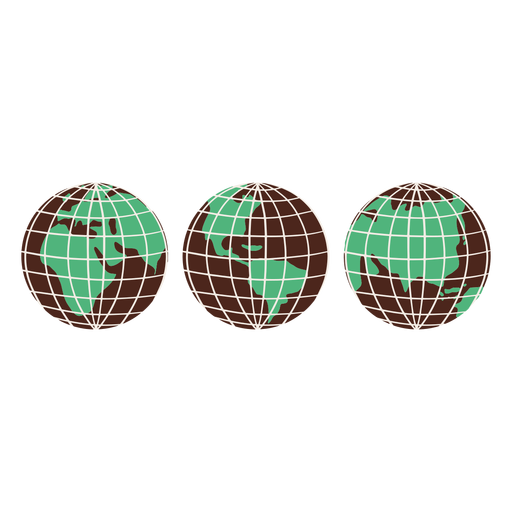
Elementos desenhados à mão de globos terrestres Desenho PNG
Escolha uma pasta
Todos os favoritos
Criar novo
Salvar
Elementos desenhados à mão de globos terrestres Desenho PNG
Uma silhueta do mapa da Noruega Desenho PNG
Escolha uma pasta
Todos os favoritos
Criar novo
Salvar
Uma silhueta do mapa da Noruega Desenho PNG
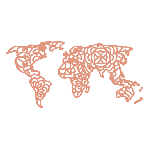
Mapa Mundial da Mandala Desenho PNG
Escolha uma pasta
Todos os favoritos
Criar novo
Salvar
Mapa Mundial da Mandala Desenho PNG
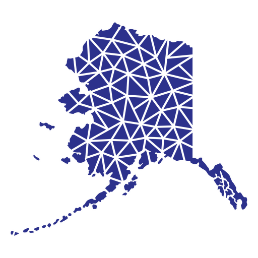
Estados geométricos do Alasca Desenho PNG
Escolha uma pasta
Todos os favoritos
Criar novo
Salvar
Estados geométricos do Alasca Desenho PNG
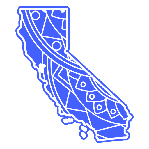
Estados da mandala da Califórnia Desenho PNG
Escolha uma pasta
Todos os favoritos
Criar novo
Salvar
Estados da mandala da Califórnia Desenho PNG
Premium
Mapa em estilo mandala em forma de Honduras Desenho PNG
Escolha uma pasta
Todos os favoritos
Criar novo
Salvar
Mapa em estilo mandala em forma de Honduras Desenho PNG
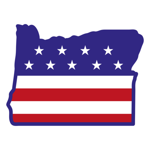
Estados de traçado de cores do Oregon Desenho PNG
Escolha uma pasta
Todos os favoritos
Criar novo
Salvar
Estados de traçado de cores do Oregon Desenho PNG
Estados de traçado de cores da Louisiana Desenho PNG
Escolha uma pasta
Todos os favoritos
Criar novo
Salvar
Estados de traçado de cores da Louisiana Desenho PNG
Curso de mandala de silhueta de mapa da Austrália Desenho PNG
Escolha uma pasta
Todos os favoritos
Criar novo
Salvar
Curso de mandala de silhueta de mapa da Austrália Desenho PNG
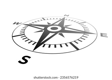
Desenho da direção da seta da bússola Desenho PNG
Escolha uma pasta
Todos os favoritos
Criar novo
Salvar
Desenho da direção da seta da bússola Desenho PNG
Premium
Iowa retrô recortado estados dos eua Desenho PNG
Escolha uma pasta
Todos os favoritos
Criar novo
Salvar
Iowa retrô recortado estados dos eua Desenho PNG
Bandeira do país Desenho PNG
Escolha uma pasta
Todos os favoritos
Criar novo
Salvar
Bandeira do país Desenho PNG
Estados de traçado de cores do Missouri Desenho PNG
Escolha uma pasta
Todos os favoritos
Criar novo
Salvar
Estados de traçado de cores do Missouri Desenho PNG
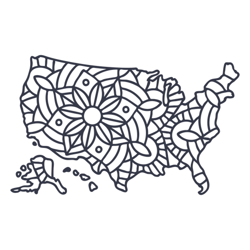
Curso de mandala de silhueta de mapa dos EUA Desenho PNG
Escolha uma pasta
Todos os favoritos
Criar novo
Salvar
Curso de mandala de silhueta de mapa dos EUA Desenho PNG
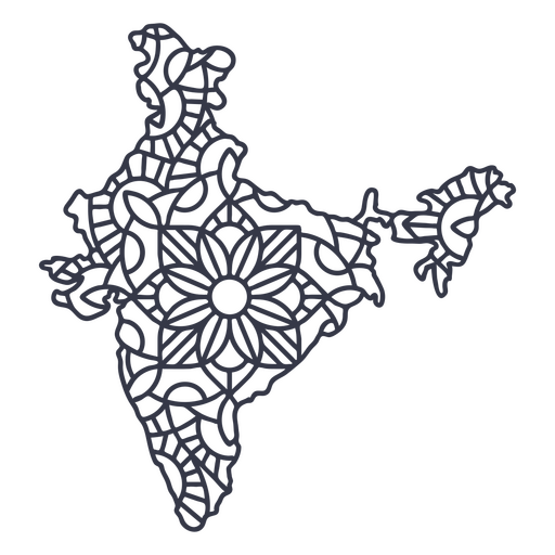
Curso de mandala de silhueta de mapa da Índia Desenho PNG
Escolha uma pasta
Todos os favoritos
Criar novo
Salvar
Curso de mandala de silhueta de mapa da Índia Desenho PNG
Premium
Traço de mapa da América Desenho PNG
Escolha uma pasta
Todos os favoritos
Criar novo
Salvar
Traço de mapa da América Desenho PNG
Ícone plano do globo do mundo Desenho PNG
Escolha uma pasta
Todos os favoritos
Criar novo
Salvar
Ícone plano do globo do mundo Desenho PNG
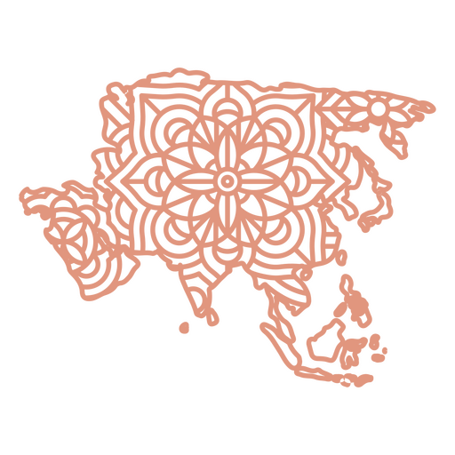
Mapa da Mandala da Ásia Desenho PNG
Escolha uma pasta
Todos os favoritos
Criar novo
Salvar
Mapa da Mandala da Ásia Desenho PNG
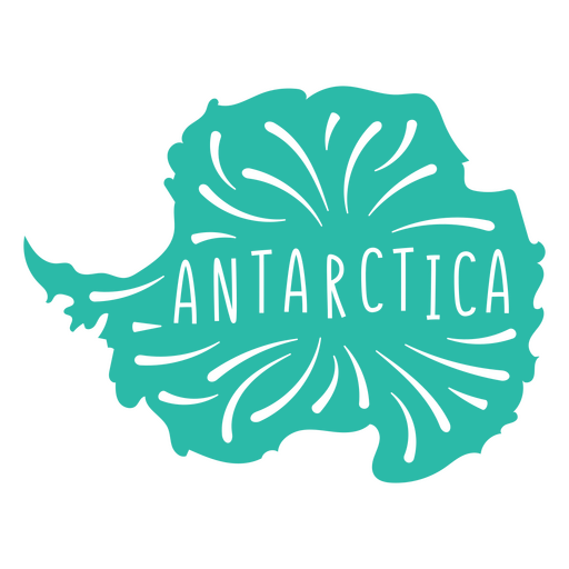
Mapa do Continente Antártico Desenho PNG
Escolha uma pasta
Todos os favoritos
Criar novo
Salvar
Mapa do Continente Antártico Desenho PNG
Estados duotônicos do Alasca Desenho PNG
Escolha uma pasta
Todos os favoritos
Criar novo
Salvar
Estados duotônicos do Alasca Desenho PNG
Globo amarelo desenhado à mão Desenho PNG
Escolha uma pasta
Todos os favoritos
Criar novo
Salvar
Globo amarelo desenhado à mão Desenho PNG
Uma silhueta do mapa da África do Sul Desenho PNG
Escolha uma pasta
Todos os favoritos
Criar novo
Salvar
Uma silhueta do mapa da África do Sul Desenho PNG
Mapa da Mandala da Austrália Desenho PNG
Escolha uma pasta
Todos os favoritos
Criar novo
Salvar
Mapa da Mandala da Austrália Desenho PNG
Silhueta realista detalhada da bússola náutica - 5 Desenho PNG
Escolha uma pasta
Todos os favoritos
Criar novo
Salvar
Silhueta realista detalhada da bússola náutica - 5 Desenho PNG
Traço do ícone do globo terrestre Desenho PNG
Escolha uma pasta
Todos os favoritos
Criar novo
Salvar
Traço do ícone do globo terrestre Desenho PNG
Doodle de cor do globo Desenho PNG
Escolha uma pasta
Todos os favoritos
Criar novo
Salvar
Doodle de cor do globo Desenho PNG
Premium
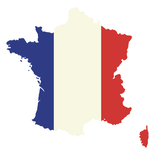
Mapa da França com a bandeira Desenho PNG
Escolha uma pasta
Todos os favoritos
Criar novo
Salvar
Mapa da França com a bandeira Desenho PNG
Estados de traçado de cor da Virgínia Ocidental Desenho PNG
Escolha uma pasta
Todos os favoritos
Criar novo
Salvar
Estados de traçado de cor da Virgínia Ocidental Desenho PNG
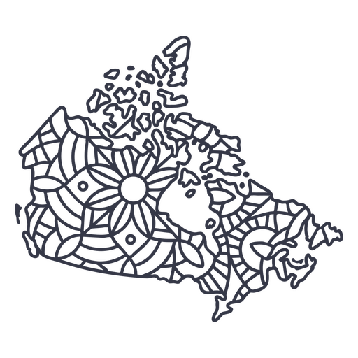
Traço de mandala de silhueta de mapa do Canadá Desenho PNG
Escolha uma pasta
Todos os favoritos
Criar novo
Salvar
Traço de mandala de silhueta de mapa do Canadá Desenho PNG
Premium
Mapa da Austrália com a bandeira australiana Desenho PNG
Escolha uma pasta
Todos os favoritos
Criar novo
Salvar
Mapa da Austrália com a bandeira australiana Desenho PNG
Premium
Mapa em estilo mandala em forma de Guatemala Desenho PNG
Escolha uma pasta
Todos os favoritos
Criar novo
Salvar
Mapa em estilo mandala em forma de Guatemala Desenho PNG
Uma silhueta do mapa da Islândia Desenho PNG
Escolha uma pasta
Todos os favoritos
Criar novo
Salvar
Uma silhueta do mapa da Islândia Desenho PNG
Uma silhueta do mapa da Guatemala Desenho PNG
Escolha uma pasta
Todos os favoritos
Criar novo
Salvar
Uma silhueta do mapa da Guatemala Desenho PNG
Inscreva-se
Para obter designs de uso comercial de alta qualidade para seus negócios
VER PLANOS
Próxima
do 14
prev page
next page