Biblioteca de design
Novos designs Merch
Camisetas
Vectores
Designs de Merch de Tendência
PNGs & SVGs
Mockups
Modelos de T-Shirt PSD
Explorar Desenhos
Designs KDP
Pôsteres
Canecas
Capas para celular
Sacos de compras
Almofadas
Ferramentas de desenho
Merch Designer
Novo!
Mockup Generator
Gerador de Design de AI
Vetorizador
Quote Generator
T-Shirt Maker (Antigo)
Ajuda
Merch Digest
Blog
Centro de Ajuda
Saiba mais sobre o Merch
Feedback
Soluções Corporativas
Empresa
Acesso à API
Estúdio de Design
Design em Lote
Preços
Carregando...
Inscrever-se
Conecte-se
PNG
geografia
Biblioteca de design
Novos designs Merch
Camisetas
Vectores
Designs de Merch de Tendência
PNGs & SVGs
Mockups
Modelos de T-Shirt PSD
Explorar Desenhos
Designs KDP
Pôsteres
Canecas
Capas para celular
Sacos de compras
Almofadas
Ferramentas de desenho
Merch Designer
Novo!
Mockup Generator
Gerador de Design de AI
Vetorizador
Quote Generator
T-Shirt Maker (Antigo)
Ajuda
Merch Digest
Blog
Centro de Ajuda
Saiba mais sobre o Merch
Feedback
Soluções Corporativas
Empresa
Acesso à API
Estúdio de Design
Design em Lote
PLANOS
PNG
geografia
684 Vetores editáveis em PNG e SVG de geografia
Baixar Vetores PNG e SVG editáveis de geografia com fundo transparente.
Relacionado:
entusiastas da geografia
,
geografia urbana
,
geografia asiatica
Ordenar por
Mais relevante
Resultados patrocinados da
Ganhe 15% de desconto com o código: VEXELS15
veja mais detalhes
Estados de traçado de cores de Oklahoma Desenho PNG
Escolha uma pasta
Todos os favoritos
Criar novo
Salvar
Estados de traçado de cores de Oklahoma Desenho PNG
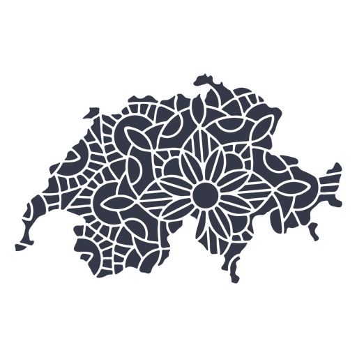
Mandala da silhueta do mapa da Suíça cortada Desenho PNG
Escolha uma pasta
Todos os favoritos
Criar novo
Salvar
Mandala da silhueta do mapa da Suíça cortada Desenho PNG
Curso de mandala de silhueta de mapa de Taiwan Desenho PNG
Escolha uma pasta
Todos os favoritos
Criar novo
Salvar
Curso de mandala de silhueta de mapa de Taiwan Desenho PNG
Estados geométricos de Indiana Desenho PNG
Escolha uma pasta
Todos os favoritos
Criar novo
Salvar
Estados geométricos de Indiana Desenho PNG
Estados da mandala de Ohio Desenho PNG
Escolha uma pasta
Todos os favoritos
Criar novo
Salvar
Estados da mandala de Ohio Desenho PNG
Curso de mandala de silhueta de mapa da China Desenho PNG
Escolha uma pasta
Todos os favoritos
Criar novo
Salvar
Curso de mandala de silhueta de mapa da China Desenho PNG
Projeto do coração do mapa da cidade Desenho PNG
Escolha uma pasta
Todos os favoritos
Criar novo
Salvar
Projeto do coração do mapa da cidade Desenho PNG
Premium
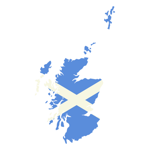
Mapa da Escócia com a bandeira da Escócia Desenho PNG
Escolha uma pasta
Todos os favoritos
Criar novo
Salvar
Mapa da Escócia com a bandeira da Escócia Desenho PNG
Premium
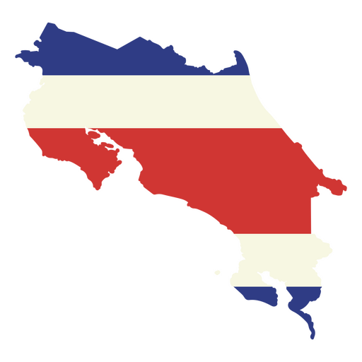
O mapa da costa rica com a bandeira Desenho PNG
Escolha uma pasta
Todos os favoritos
Criar novo
Salvar
O mapa da costa rica com a bandeira Desenho PNG
Mapa do curso do continente antártico Desenho PNG
Escolha uma pasta
Todos os favoritos
Criar novo
Salvar
Mapa do curso do continente antártico Desenho PNG
Estados duotônicos de Ohio Desenho PNG
Escolha uma pasta
Todos os favoritos
Criar novo
Salvar
Estados duotônicos de Ohio Desenho PNG
Estados duotônicos de Kentucky Desenho PNG
Escolha uma pasta
Todos os favoritos
Criar novo
Salvar
Estados duotônicos de Kentucky Desenho PNG
Estados de traçado de cor de Dakota do Sul Desenho PNG
Escolha uma pasta
Todos os favoritos
Criar novo
Salvar
Estados de traçado de cor de Dakota do Sul Desenho PNG
Premium
Flecha Windrose sudoeste leste silhueta nord Desenho PNG
Escolha uma pasta
Todos os favoritos
Criar novo
Salvar
Flecha Windrose sudoeste leste silhueta nord Desenho PNG
Uma silhueta do mapa do Chile Desenho PNG
Escolha uma pasta
Todos os favoritos
Criar novo
Salvar
Uma silhueta do mapa do Chile Desenho PNG
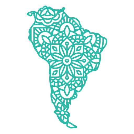
Mapa da América do Sul Mandala Desenho PNG
Escolha uma pasta
Todos os favoritos
Criar novo
Salvar
Mapa da América do Sul Mandala Desenho PNG
Estados duotônicos de Nova Jersey Desenho PNG
Escolha uma pasta
Todos os favoritos
Criar novo
Salvar
Estados duotônicos de Nova Jersey Desenho PNG
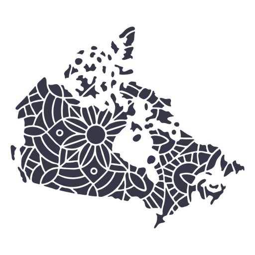
Mandala da silhueta do mapa do Canadá cortada Desenho PNG
Escolha uma pasta
Todos os favoritos
Criar novo
Salvar
Mandala da silhueta do mapa do Canadá cortada Desenho PNG
Premium
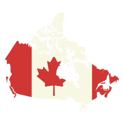
Mapa do Canadá com a bandeira canadense Desenho PNG
Escolha uma pasta
Todos os favoritos
Criar novo
Salvar
Mapa do Canadá com a bandeira canadense Desenho PNG
Uma silhueta do mapa do Brasil Desenho PNG
Escolha uma pasta
Todos os favoritos
Criar novo
Salvar
Uma silhueta do mapa do Brasil Desenho PNG
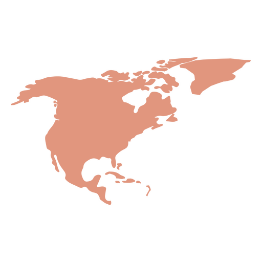
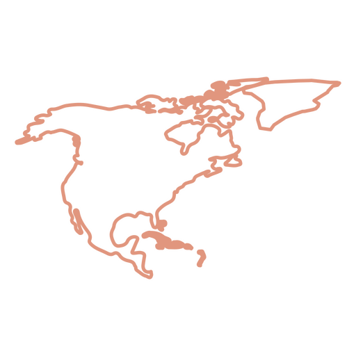
Silhueta do mapa da América do Norte Desenho PNG
Escolha uma pasta
Todos os favoritos
Criar novo
Salvar
Silhueta do mapa da América do Norte Desenho PNG
Estados duotônicos de Minnesota Desenho PNG
Escolha uma pasta
Todos os favoritos
Criar novo
Salvar
Estados duotônicos de Minnesota Desenho PNG
Estados de traçado de cores do Nebraska Desenho PNG
Escolha uma pasta
Todos os favoritos
Criar novo
Salvar
Estados de traçado de cores do Nebraska Desenho PNG
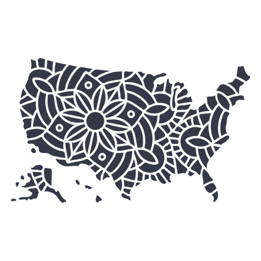
Mandala de silhueta de mapa dos EUA cortada Desenho PNG
Escolha uma pasta
Todos os favoritos
Criar novo
Salvar
Mandala de silhueta de mapa dos EUA cortada Desenho PNG
Decalques de parede-Vinil-CR - 5 Desenho PNG
Escolha uma pasta
Todos os favoritos
Criar novo
Salvar
Decalques de parede-Vinil-CR - 5 Desenho PNG
Ilustração do globo escolar Desenho PNG
Escolha uma pasta
Todos os favoritos
Criar novo
Salvar
Ilustração do globo escolar Desenho PNG
Premium
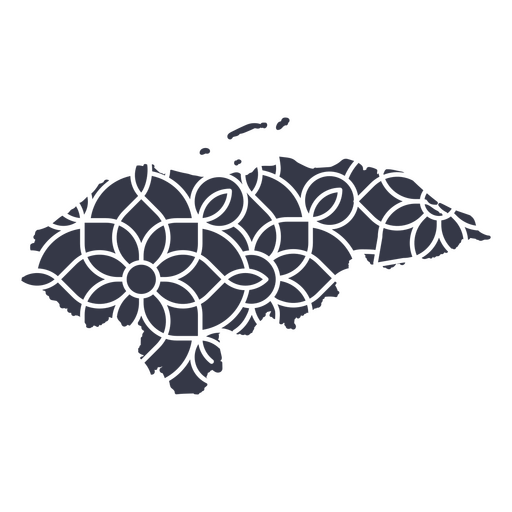
Mapa mandala de Honduras Desenho PNG
Escolha uma pasta
Todos os favoritos
Criar novo
Salvar
Mapa mandala de Honduras Desenho PNG
Uma silhueta do mapa de Honduras Desenho PNG
Escolha uma pasta
Todos os favoritos
Criar novo
Salvar
Uma silhueta do mapa de Honduras Desenho PNG
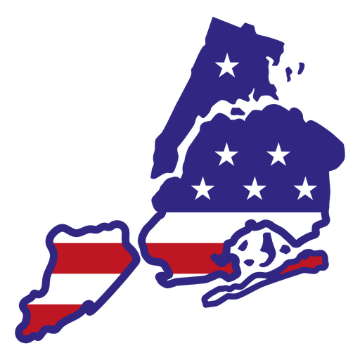
Estados de traçado de cor de Nova York Desenho PNG
Escolha uma pasta
Todos os favoritos
Criar novo
Salvar
Estados de traçado de cor de Nova York Desenho PNG
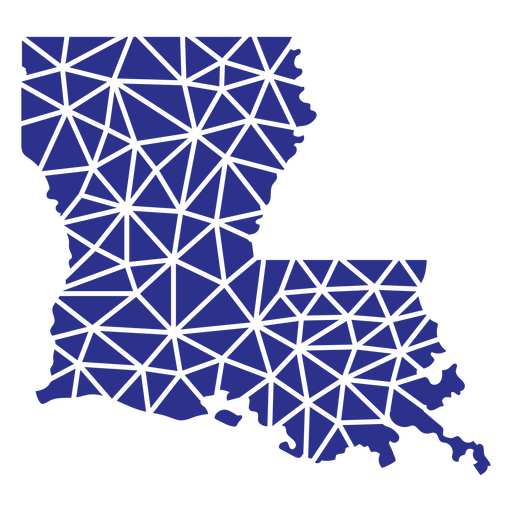
estados geométricos da Louisiana Desenho PNG
Escolha uma pasta
Todos os favoritos
Criar novo
Salvar
estados geométricos da Louisiana Desenho PNG
Bandeira belga desenhada à mão Desenho PNG
Escolha uma pasta
Todos os favoritos
Criar novo
Salvar
Bandeira belga desenhada à mão Desenho PNG
Uma silhueta do mapa da Dinamarca Desenho PNG
Escolha uma pasta
Todos os favoritos
Criar novo
Salvar
Uma silhueta do mapa da Dinamarca Desenho PNG
Uma silhueta do mapa dos Países Baixos Desenho PNG
Escolha uma pasta
Todos os favoritos
Criar novo
Salvar
Uma silhueta do mapa dos Países Baixos Desenho PNG
Uma silhueta do mapa da Argentina Desenho PNG
Escolha uma pasta
Todos os favoritos
Criar novo
Salvar
Uma silhueta do mapa da Argentina Desenho PNG
Uma silhueta do mapa da Bélgica Desenho PNG
Escolha uma pasta
Todos os favoritos
Criar novo
Salvar
Uma silhueta do mapa da Bélgica Desenho PNG
Estados duotônicos de Rhode Island Desenho PNG
Escolha uma pasta
Todos os favoritos
Criar novo
Salvar
Estados duotônicos de Rhode Island Desenho PNG
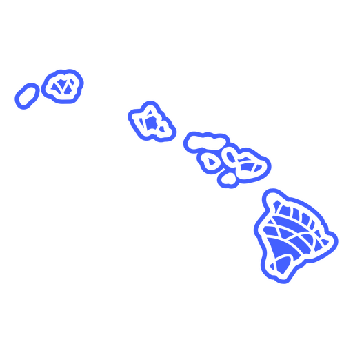
Estados da mandala do Havaí Desenho PNG
Escolha uma pasta
Todos os favoritos
Criar novo
Salvar
Estados da mandala do Havaí Desenho PNG
Premium
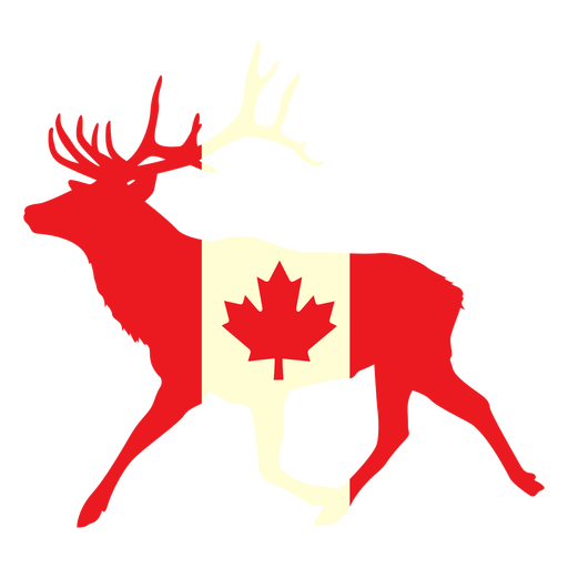
Veado com bandeira do Canadá plana Desenho PNG
Escolha uma pasta
Todos os favoritos
Criar novo
Salvar
Veado com bandeira do Canadá plana Desenho PNG
Uma silhueta do mapa da Costa Rica Desenho PNG
Escolha uma pasta
Todos os favoritos
Criar novo
Salvar
Uma silhueta do mapa da Costa Rica Desenho PNG
Premium
Flâmula de peru acenando Desenho PNG
Escolha uma pasta
Todos os favoritos
Criar novo
Salvar
Flâmula de peru acenando Desenho PNG
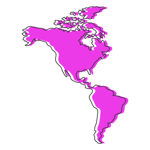
Mapa da América plano Desenho PNG
Escolha uma pasta
Todos os favoritos
Criar novo
Salvar
Mapa da América plano Desenho PNG
Premium
Windrose flecha linha leste norte sul oeste Desenho PNG
Escolha uma pasta
Todos os favoritos
Criar novo
Salvar
Windrose flecha linha leste norte sul oeste Desenho PNG
Premium
O estado de Ohio é mostrado em um fundo verde Desenho PNG
Escolha uma pasta
Todos os favoritos
Criar novo
Salvar
O estado de Ohio é mostrado em um fundo verde Desenho PNG
Uma silhueta do mapa de El Salvador Desenho PNG
Escolha uma pasta
Todos os favoritos
Criar novo
Salvar
Uma silhueta do mapa de El Salvador Desenho PNG
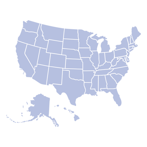
Estados do mapa do país dos EUA descritos Desenho PNG
Escolha uma pasta
Todos os favoritos
Criar novo
Salvar
Estados do mapa do país dos EUA descritos Desenho PNG
Mapa de AVC da América do Norte Desenho PNG
Escolha uma pasta
Todos os favoritos
Criar novo
Salvar
Mapa de AVC da América do Norte Desenho PNG
Estados duotônicos do Novo México Desenho PNG
Escolha uma pasta
Todos os favoritos
Criar novo
Salvar
Estados duotônicos do Novo México Desenho PNG
Estados de traçado de cor da Carolina do Norte Desenho PNG
Escolha uma pasta
Todos os favoritos
Criar novo
Salvar
Estados de traçado de cor da Carolina do Norte Desenho PNG
Premium
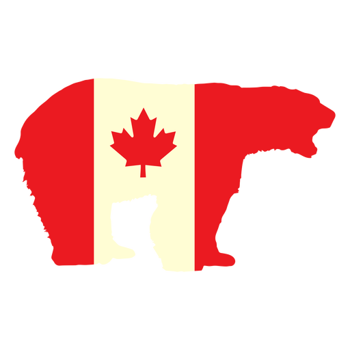
Urso polar com bandeira do Canadá plana Desenho PNG
Escolha uma pasta
Todos os favoritos
Criar novo
Salvar
Urso polar com bandeira do Canadá plana Desenho PNG
Bandeira do reino unido Desenho PNG
Escolha uma pasta
Todos os favoritos
Criar novo
Salvar
Bandeira do reino unido Desenho PNG
Inscreva-se
Para obter designs de uso comercial de alta qualidade para seus negócios
VER PLANOS
Próxima
do 14
prev page
next page